🛰Ankang City 2007 OrbView Satellite 1-Meter Resolution Historical Imagery
Ankang lies in the southeast of Shaanxi Province, in the heart of the Qinba Mountains along the Han River. Known as the "Pearl of Qinba", it is a green ecological city where mountains, farmland, forests and towns meet.
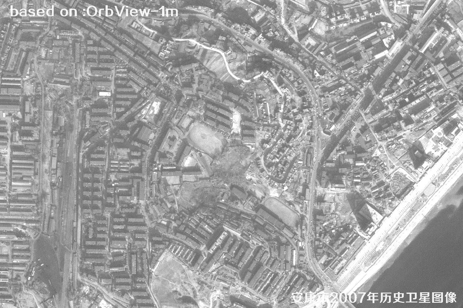
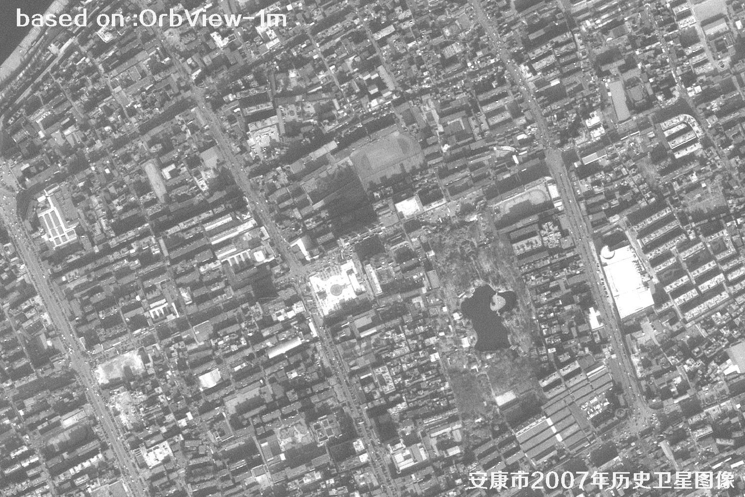
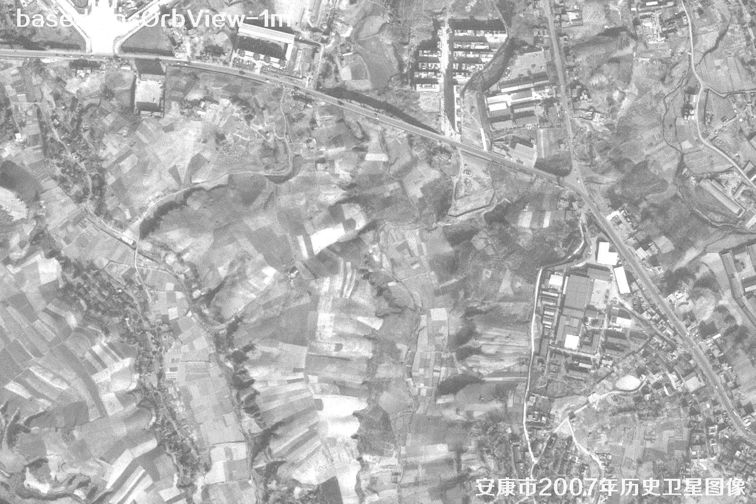
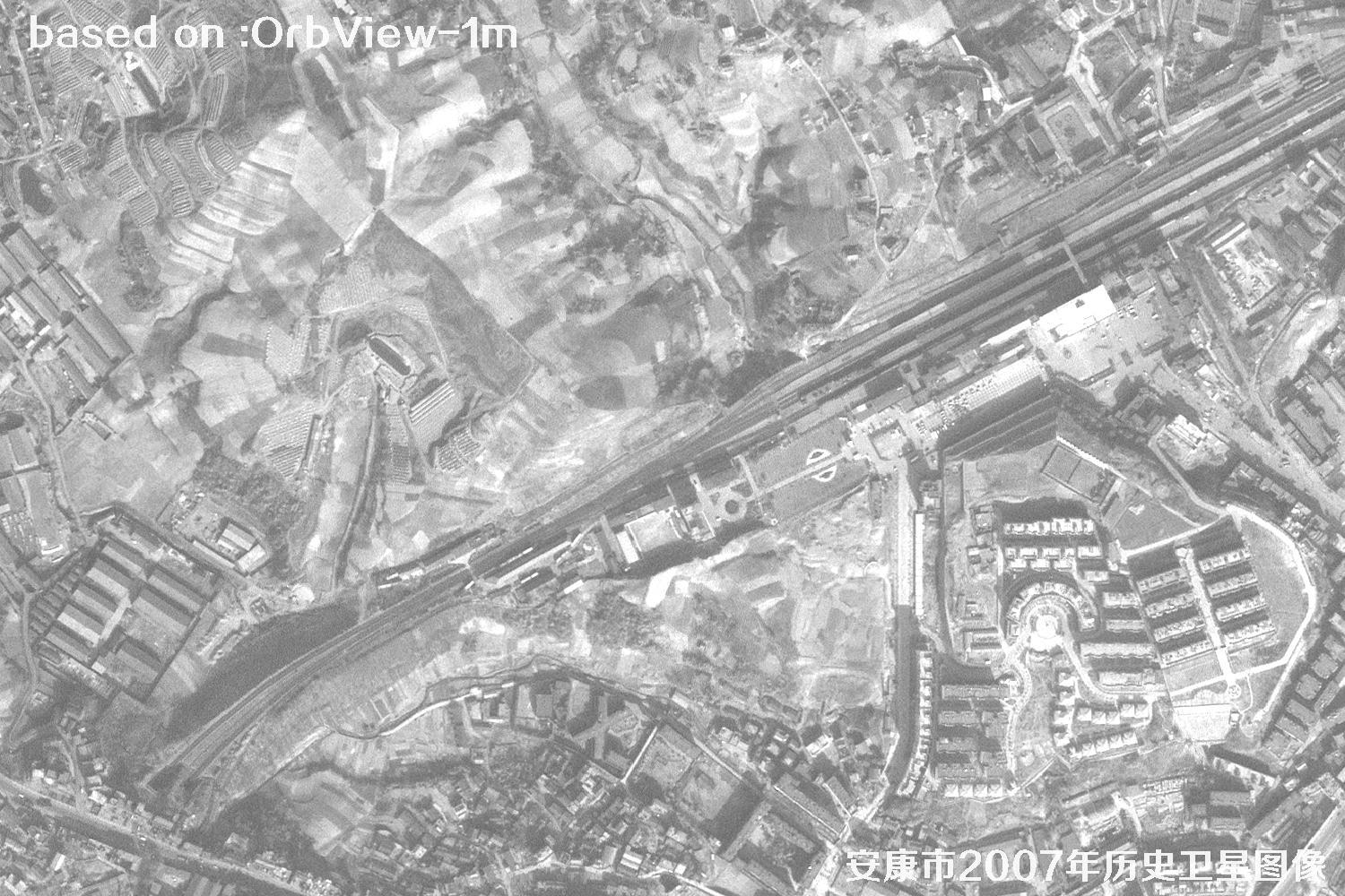
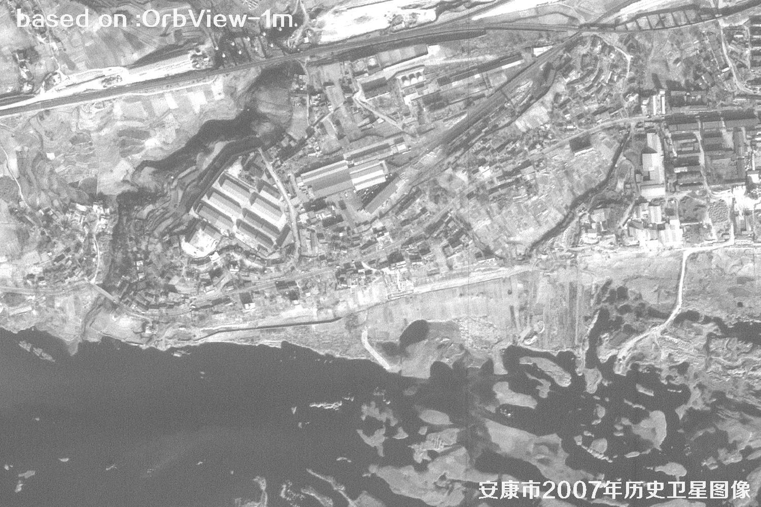
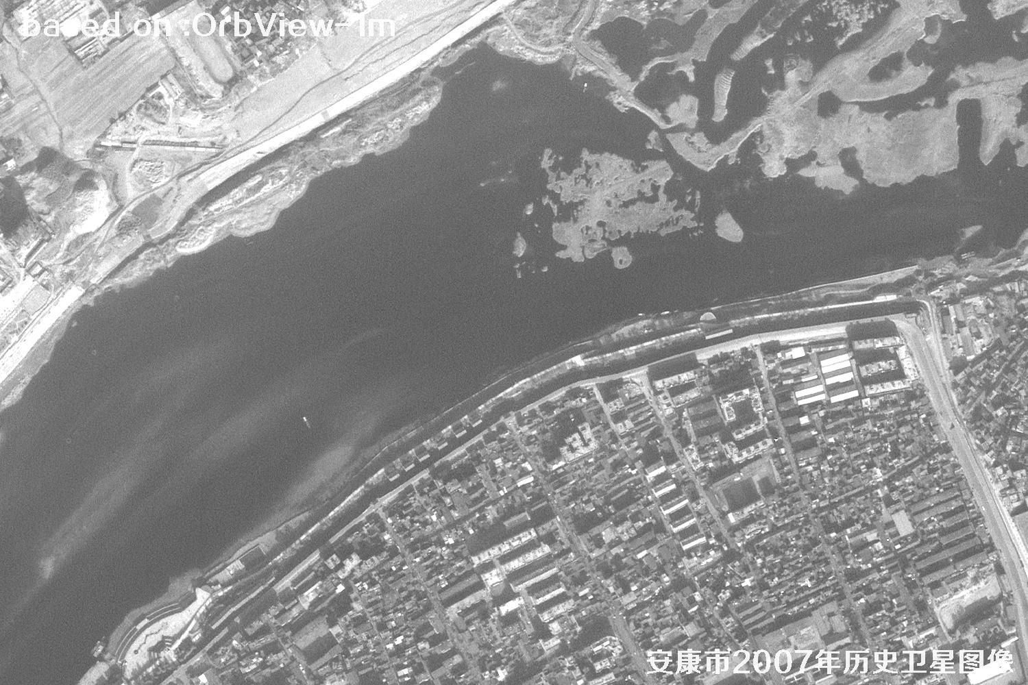
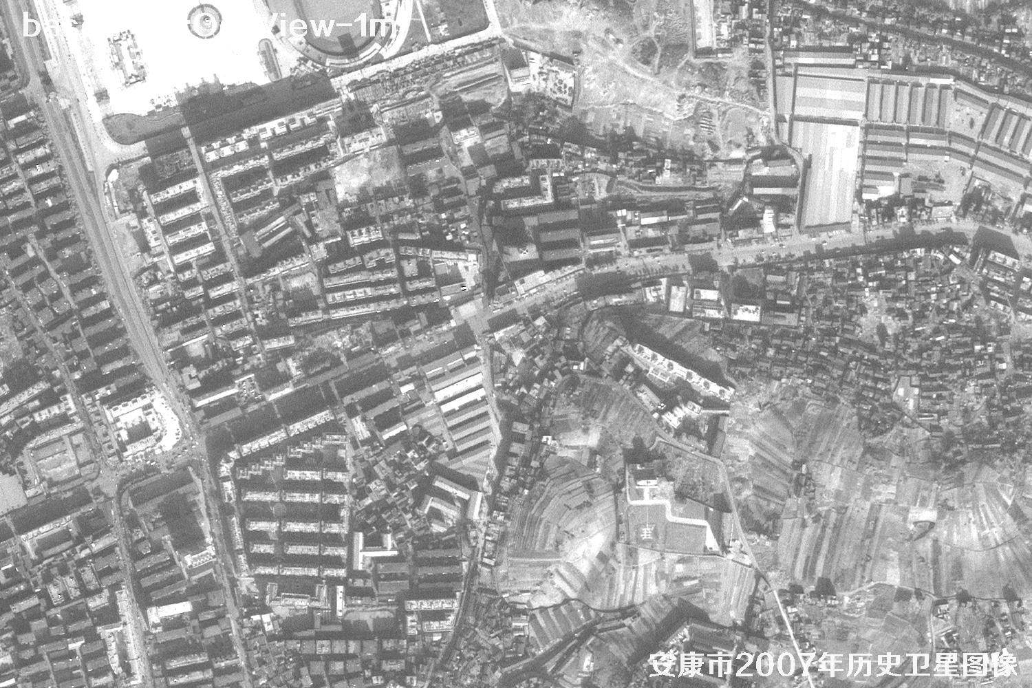
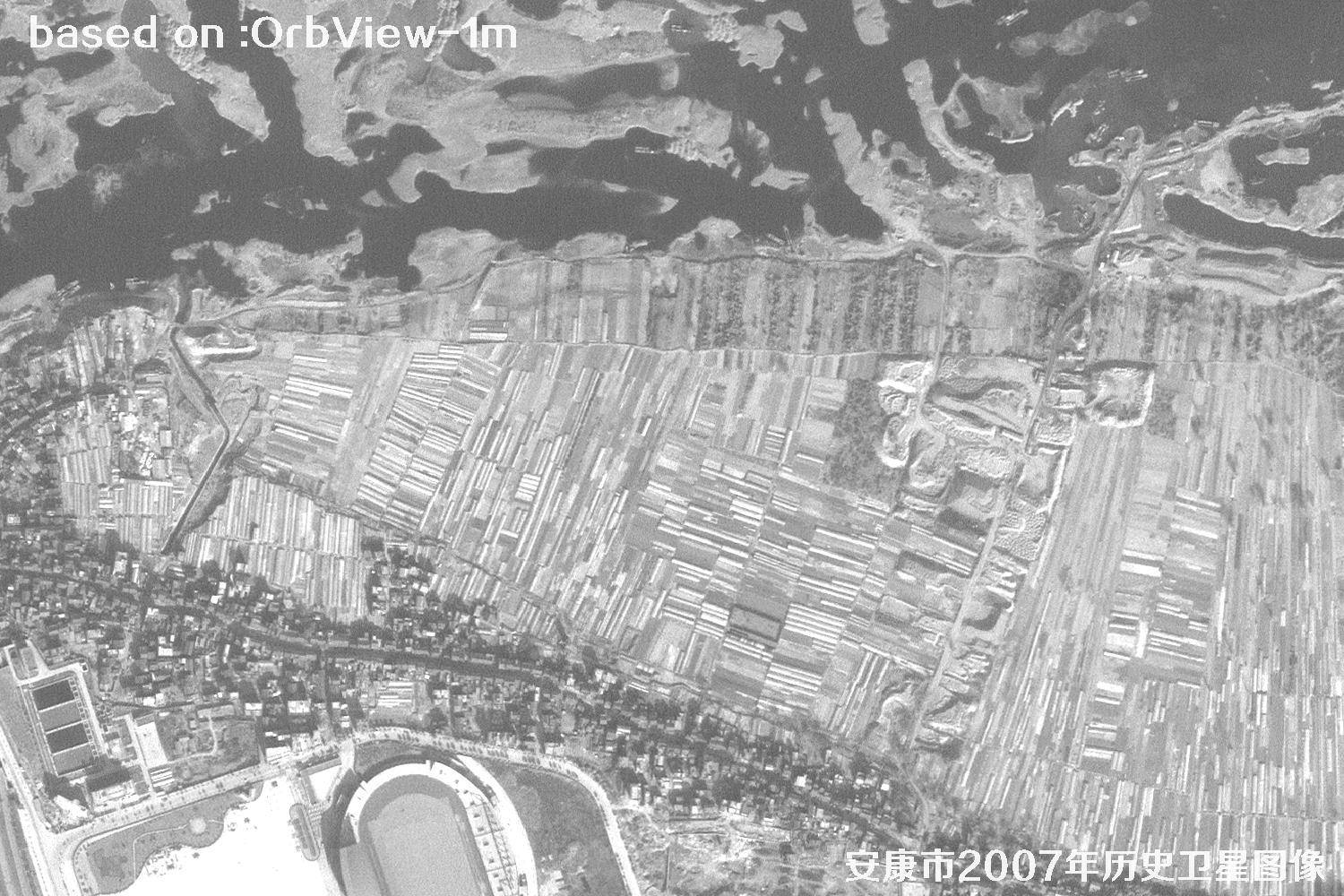
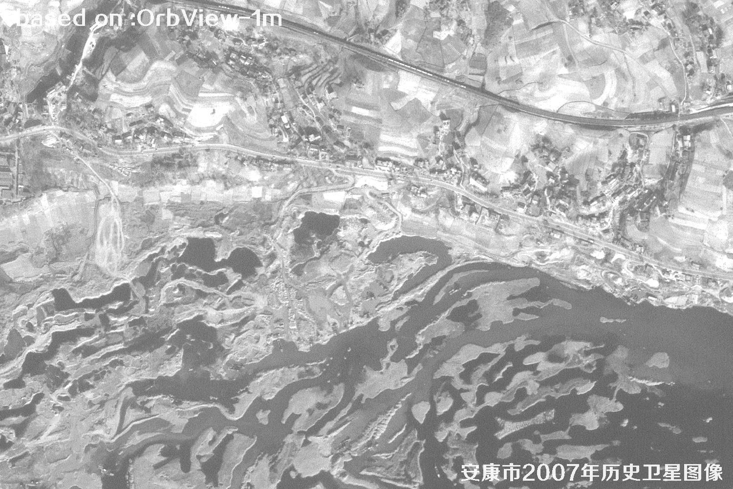
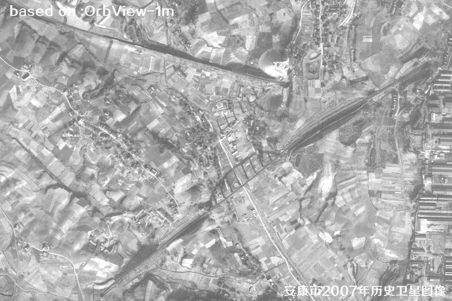
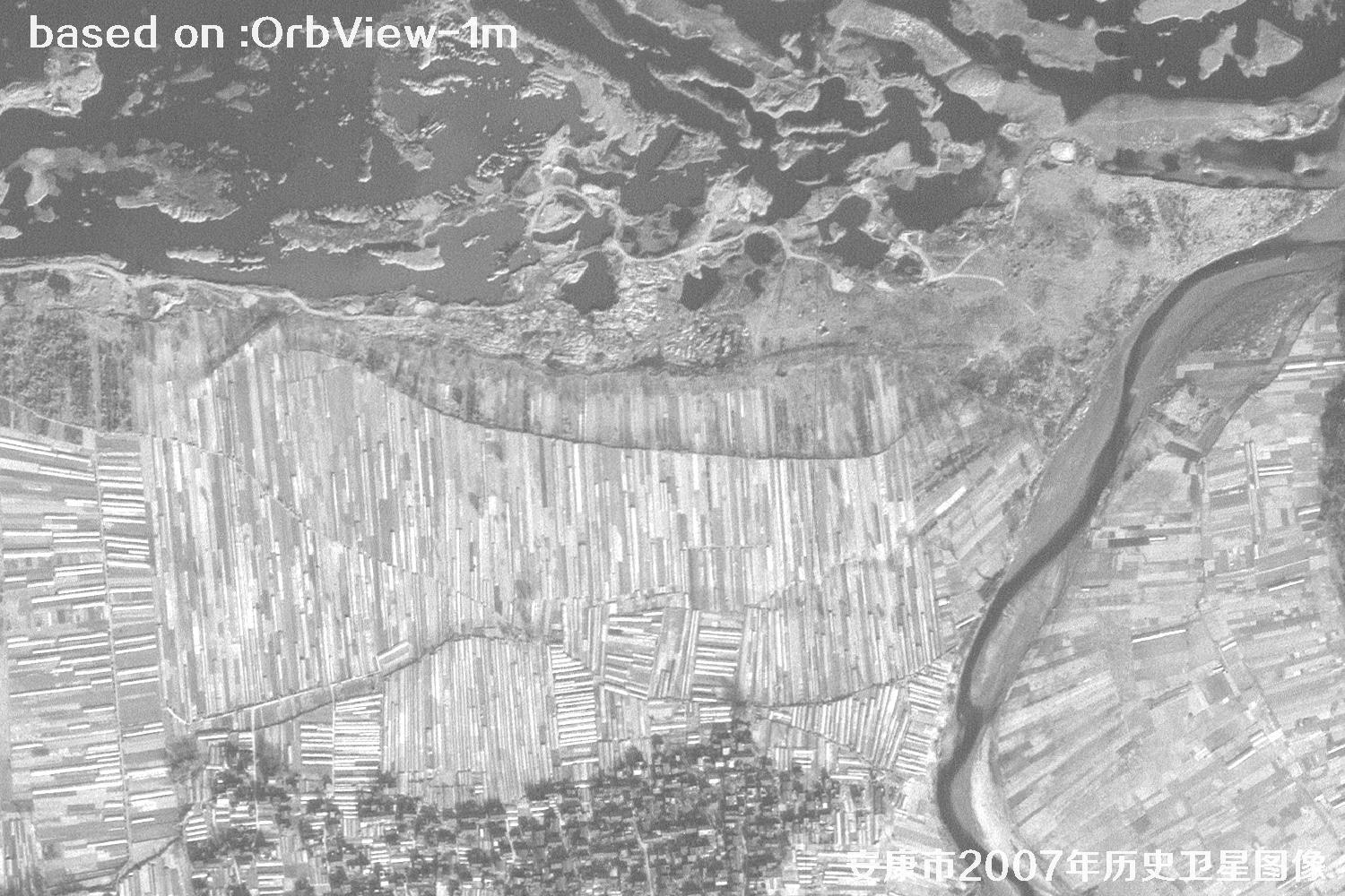
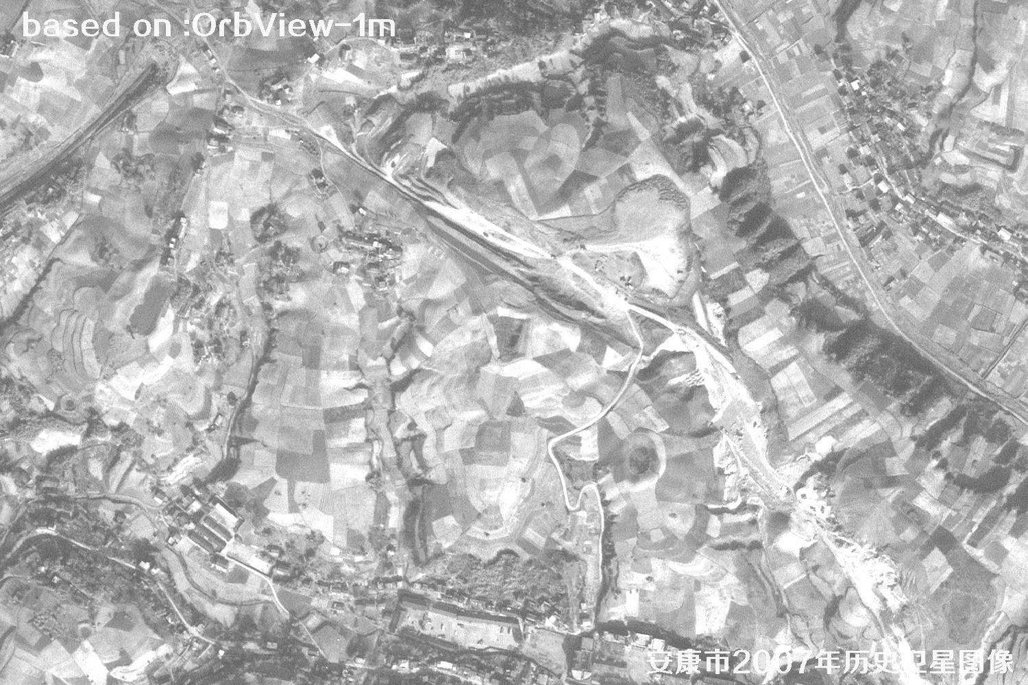
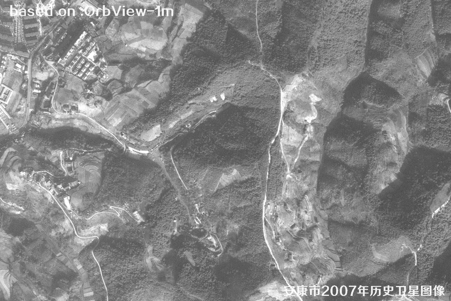
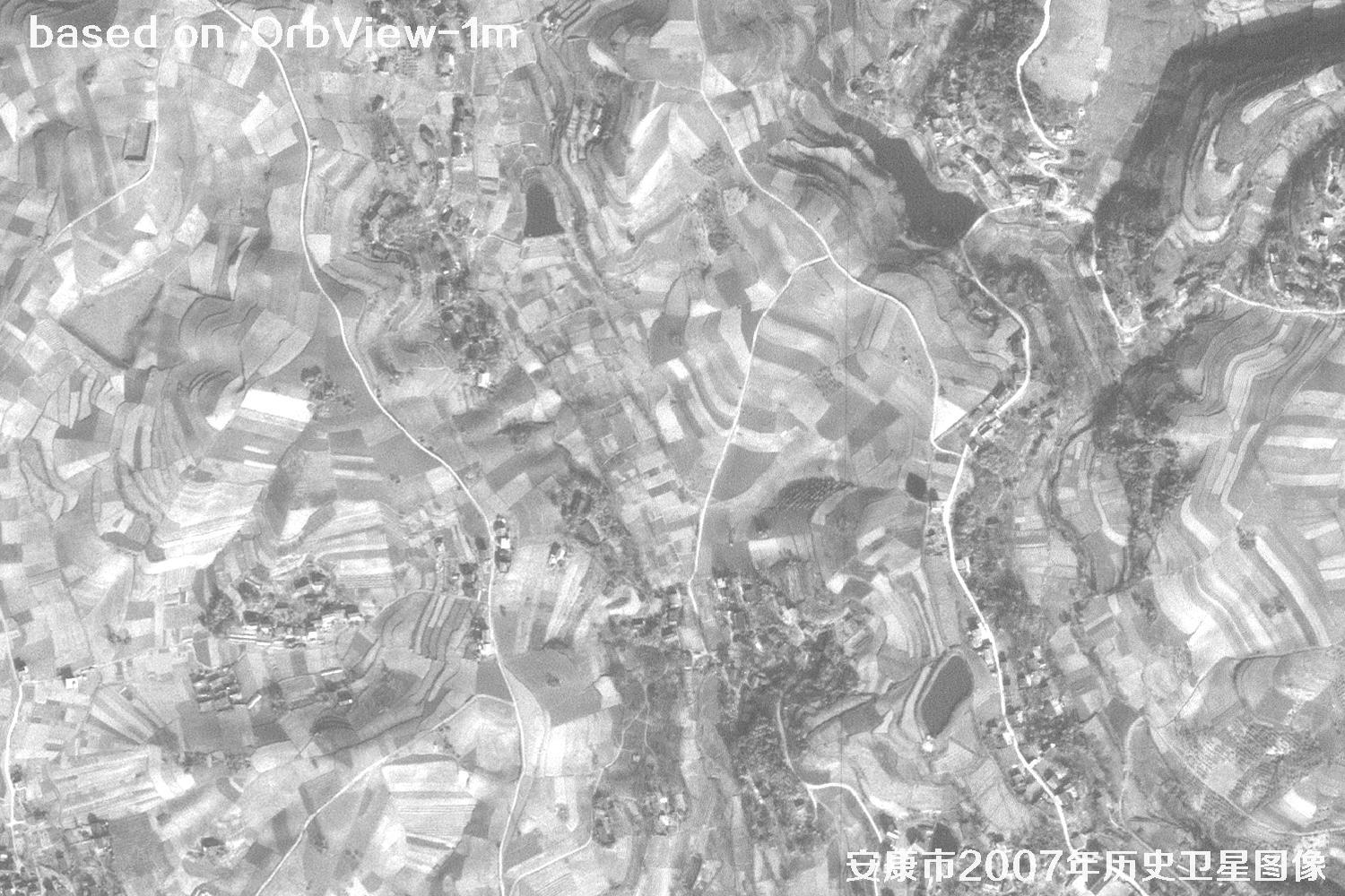
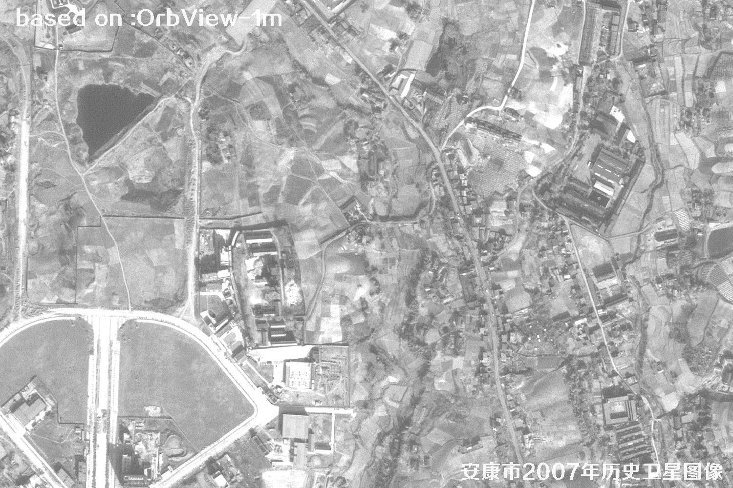
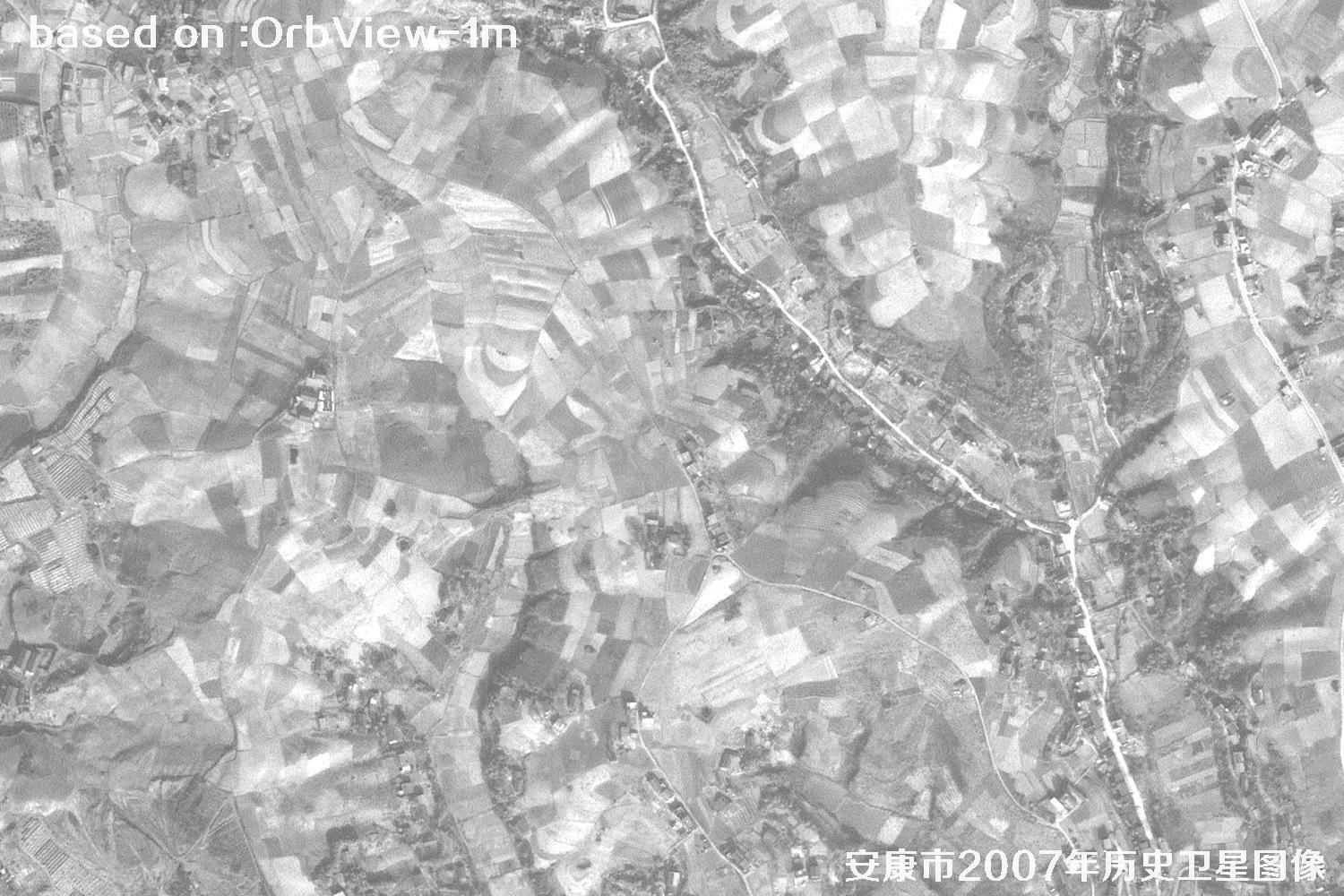
This 2007 historical satellite dataset of Ankang was captured by the US OrbView satellite with 1-meter resolution. Streets, houses, farmland parcels, roads, bridges and the Han River system are all clearly visible. It is a rare first-hand source for urban-change studies, land planning review, land-rights evidence, environmental assessment and nostalgic collections.
Want to compare how Ankang has transformed over the years, or find your old home, factory or school? This archive is a real "time machine". The following images are 1-meter resolution historical images of Ankang City taken by the OrbView satellite in 2007.
OrbView is a commercial optical remote-sensing series from Orbital Imaging Corporation, and OrbView-3 is its flagship 1-meter class satellite. Flying in a sun-synchronous orbit, it images most of the Earth daily with sharp, detailed pictures.
OrbView delivers natural colors and fine textures, ideal for large-scale urban mapping, land-use surveys, transport planning and change detection. The 2007 archive perfectly preserves Ankang at the start of its rapid growth — of great archival value.
🗺Ankang 2007 Satellite Imagery Total: 33 images
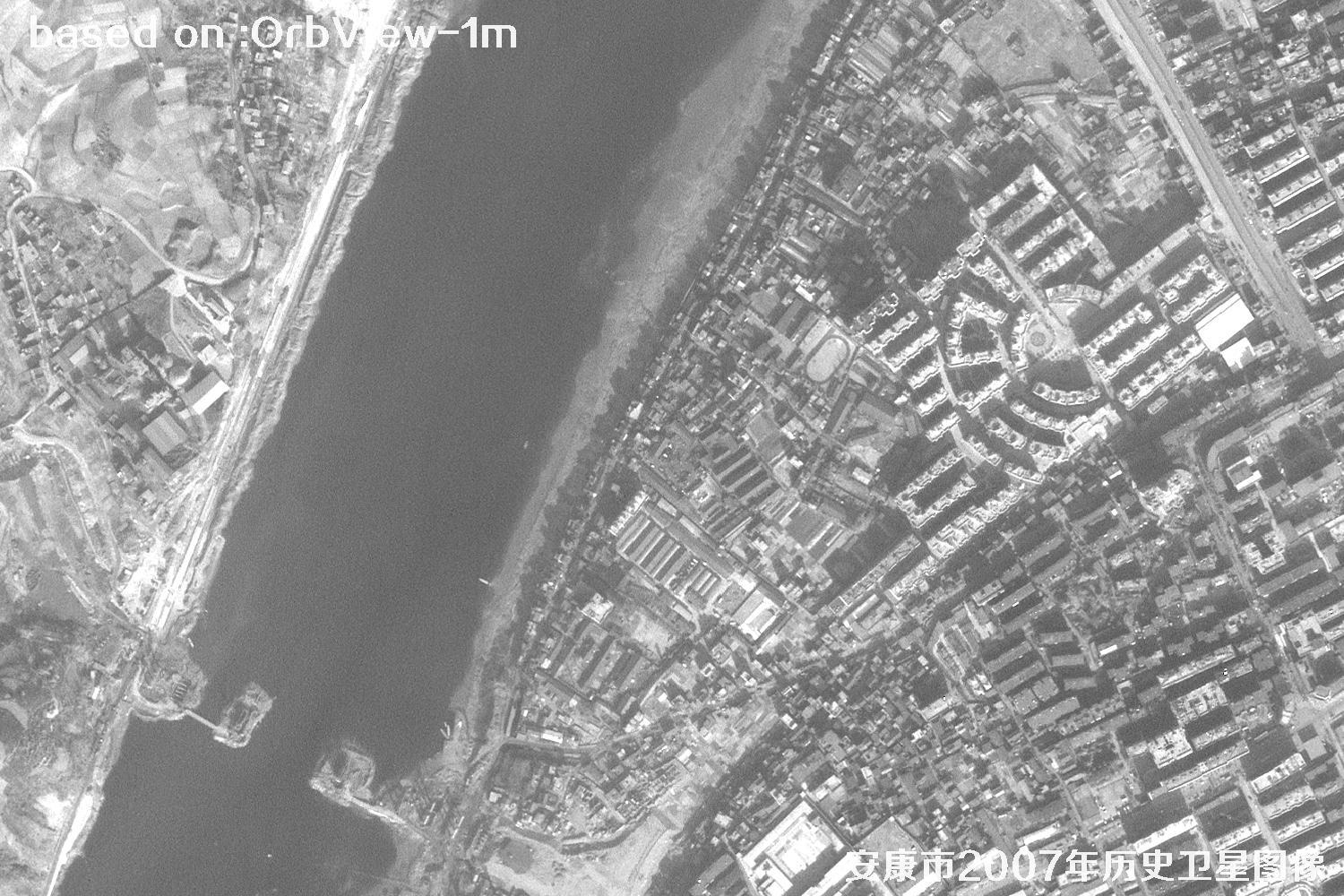 Sample
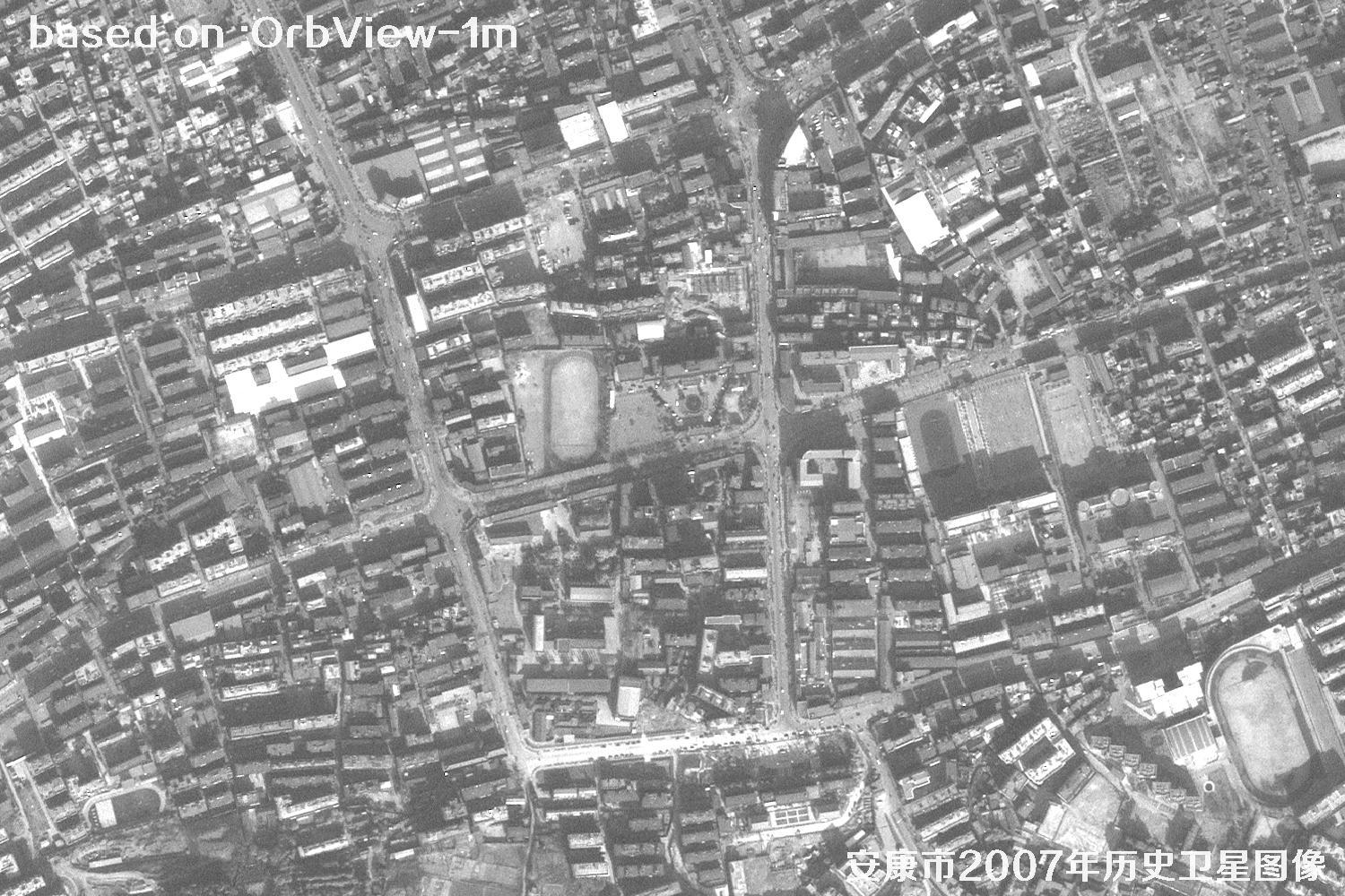 Sample
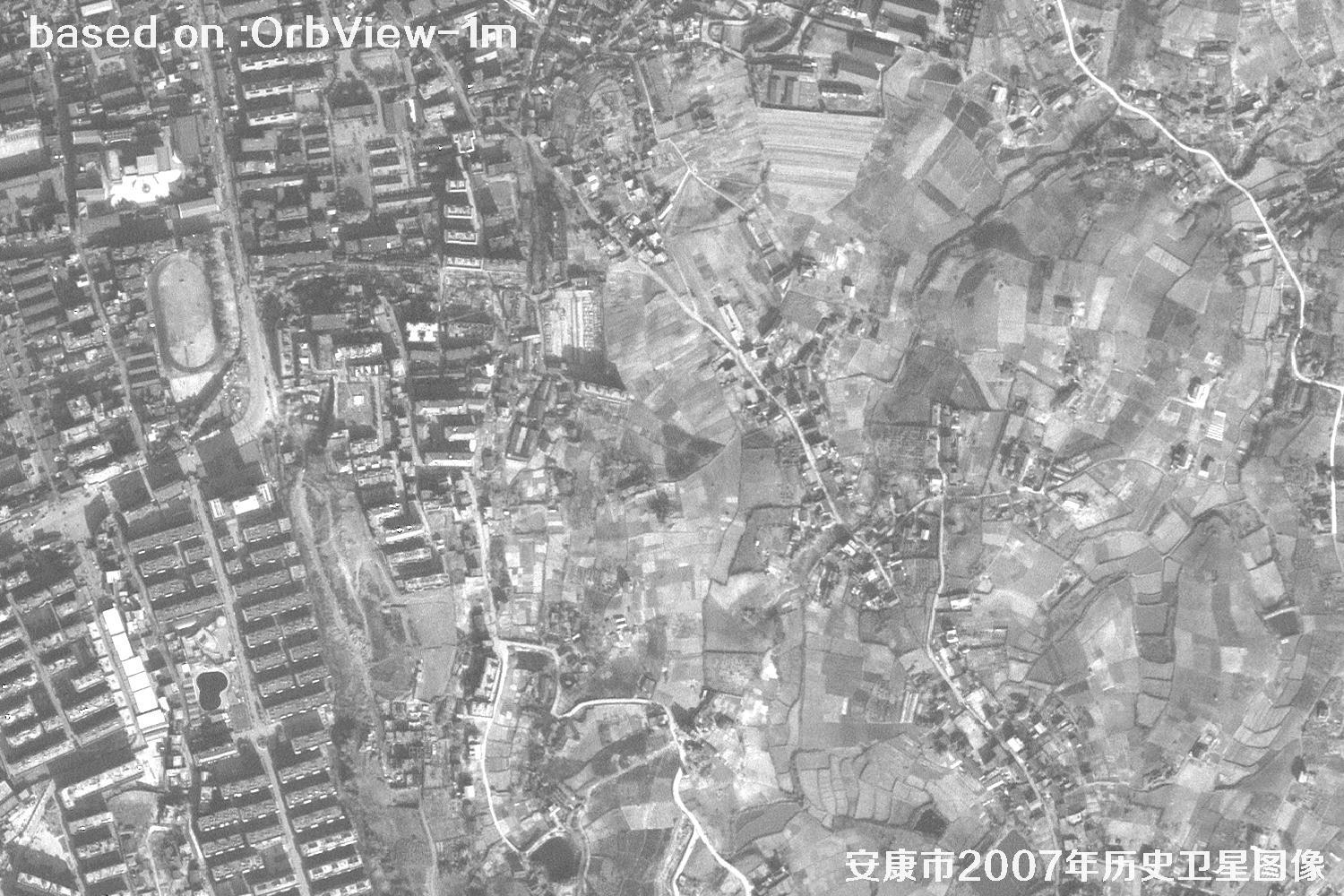 Sample
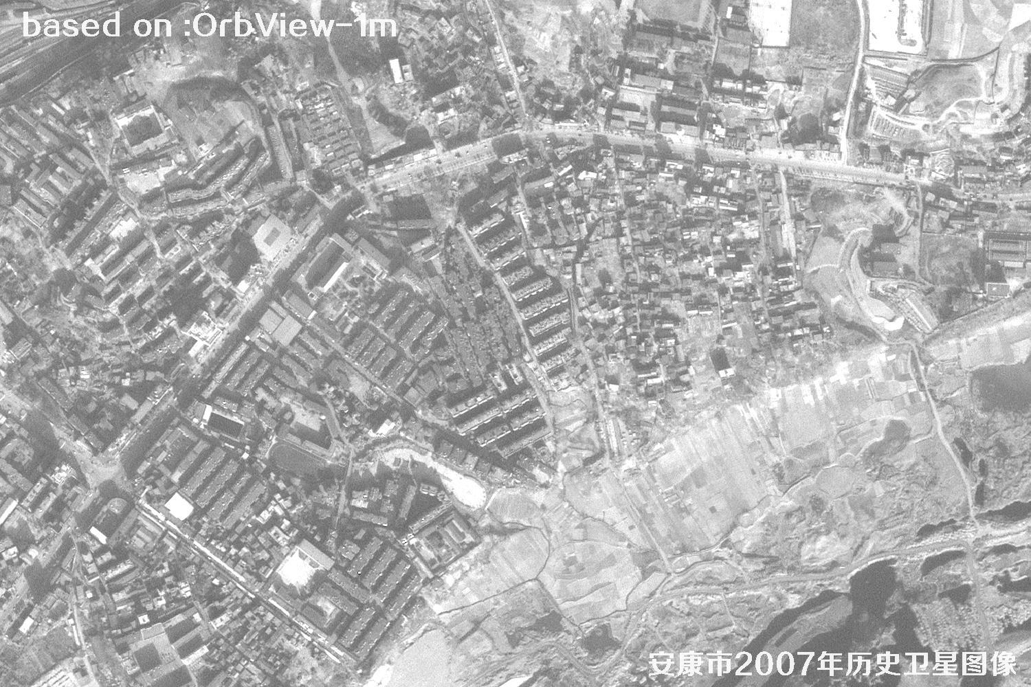 Sample
 Sample
 Sample
 Sample
 Sample
 Sample
 Sample
 Sample
 Sample
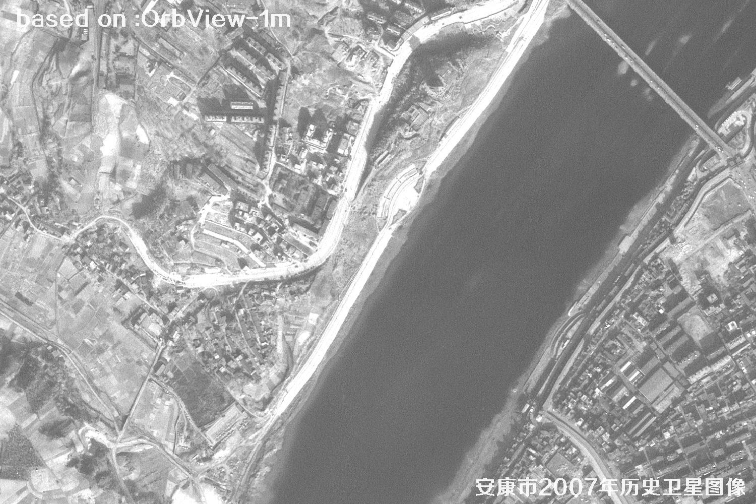 Sample
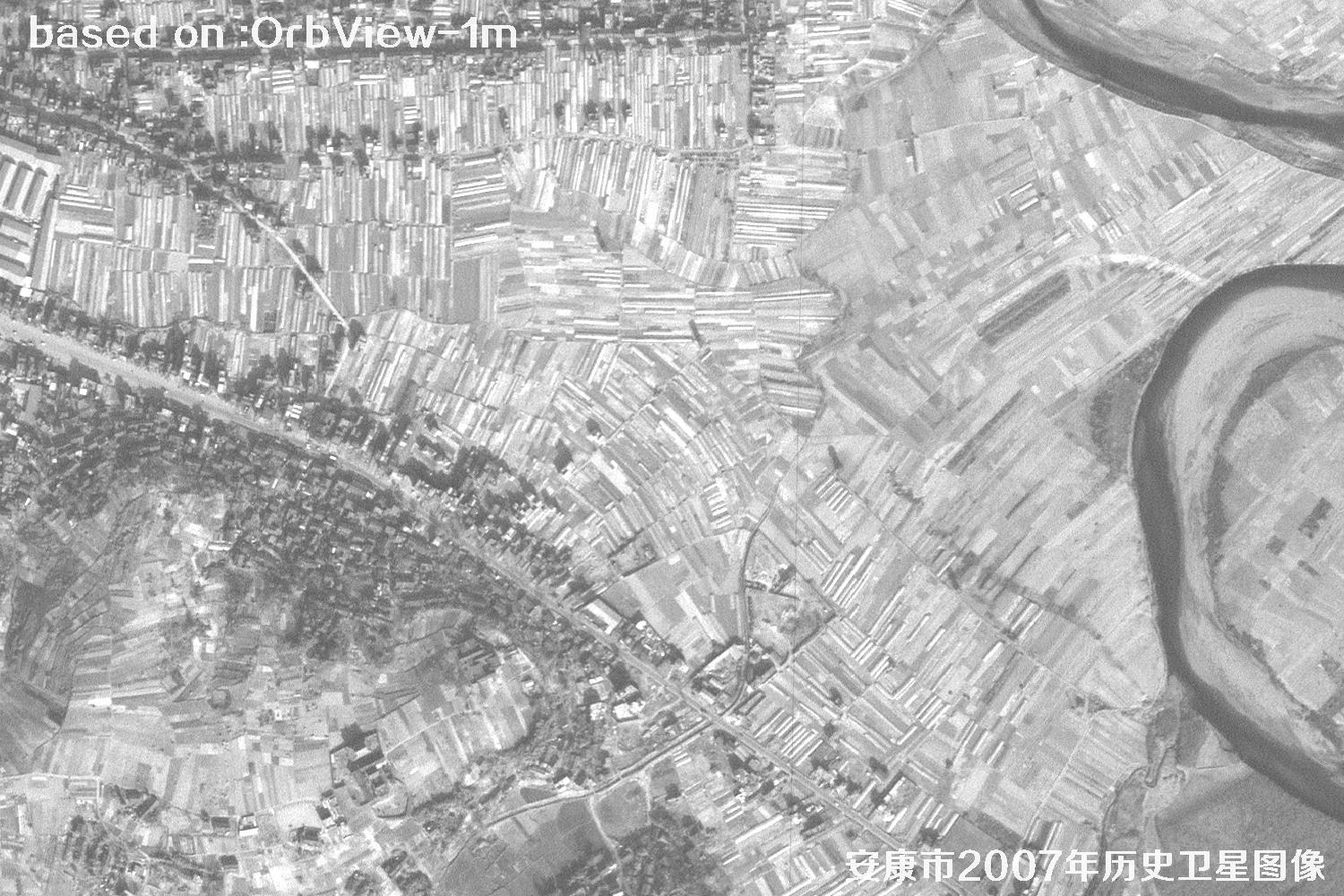 Sample
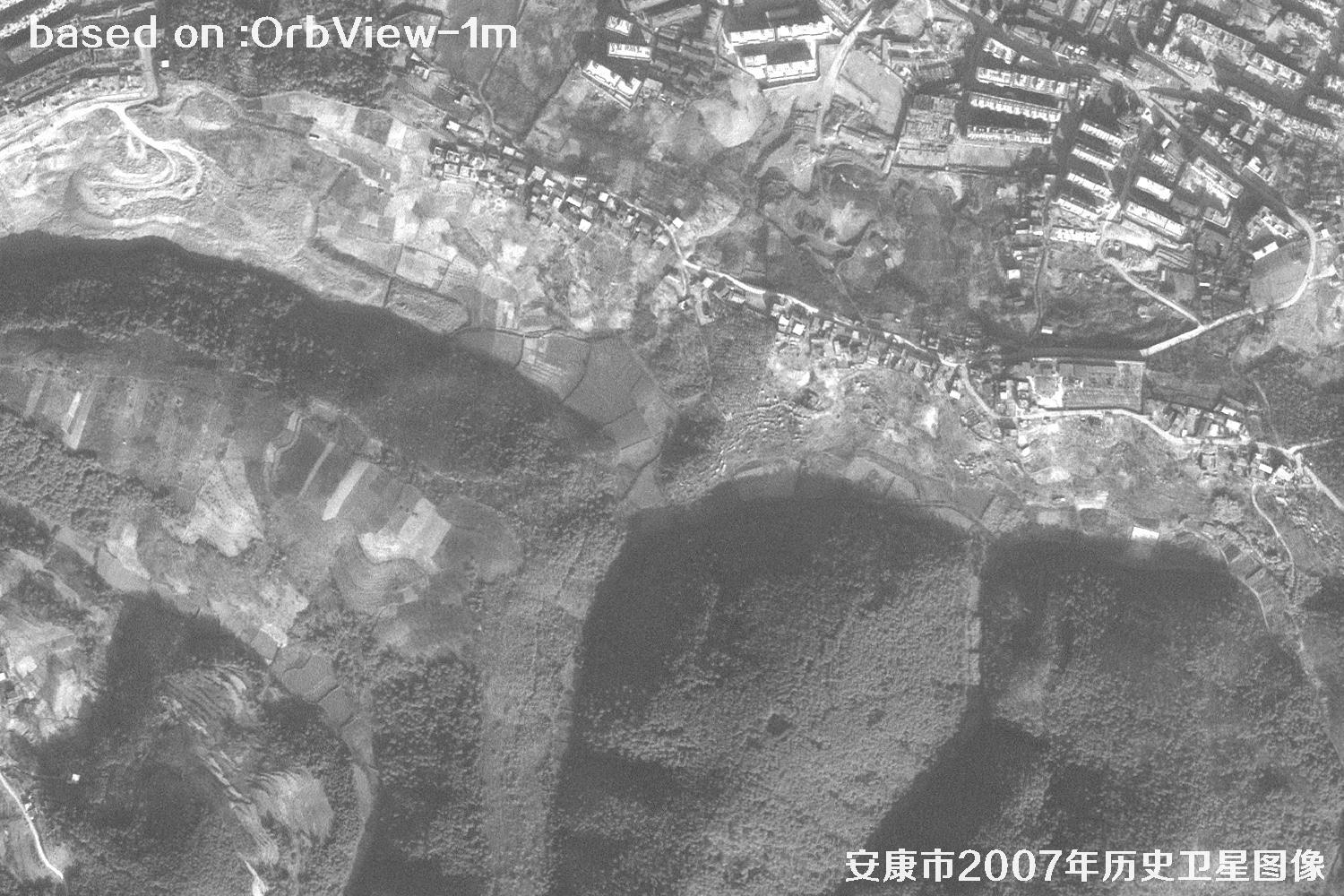 Sample
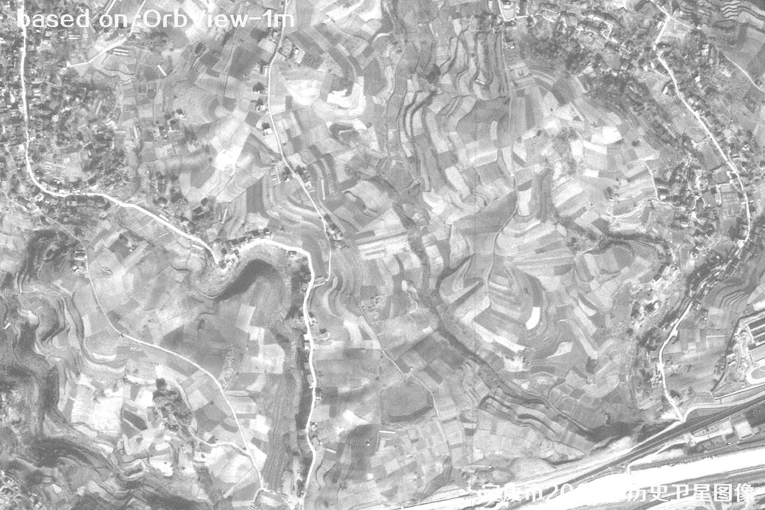 Sample
 Sample
 Sample
 Sample
 Sample
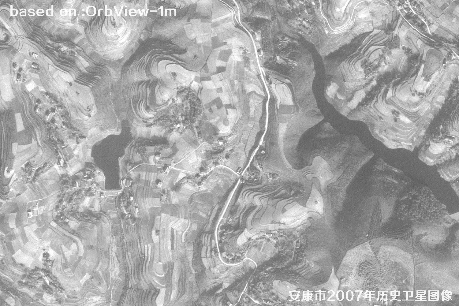 Sample
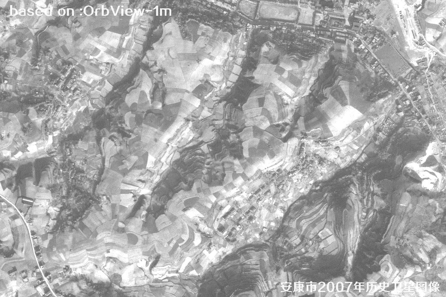 Sample
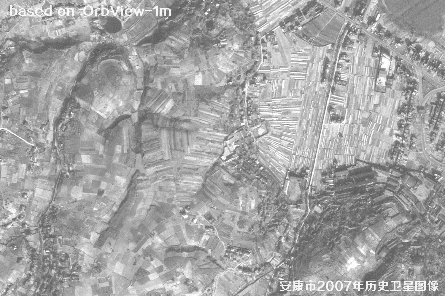 Sample
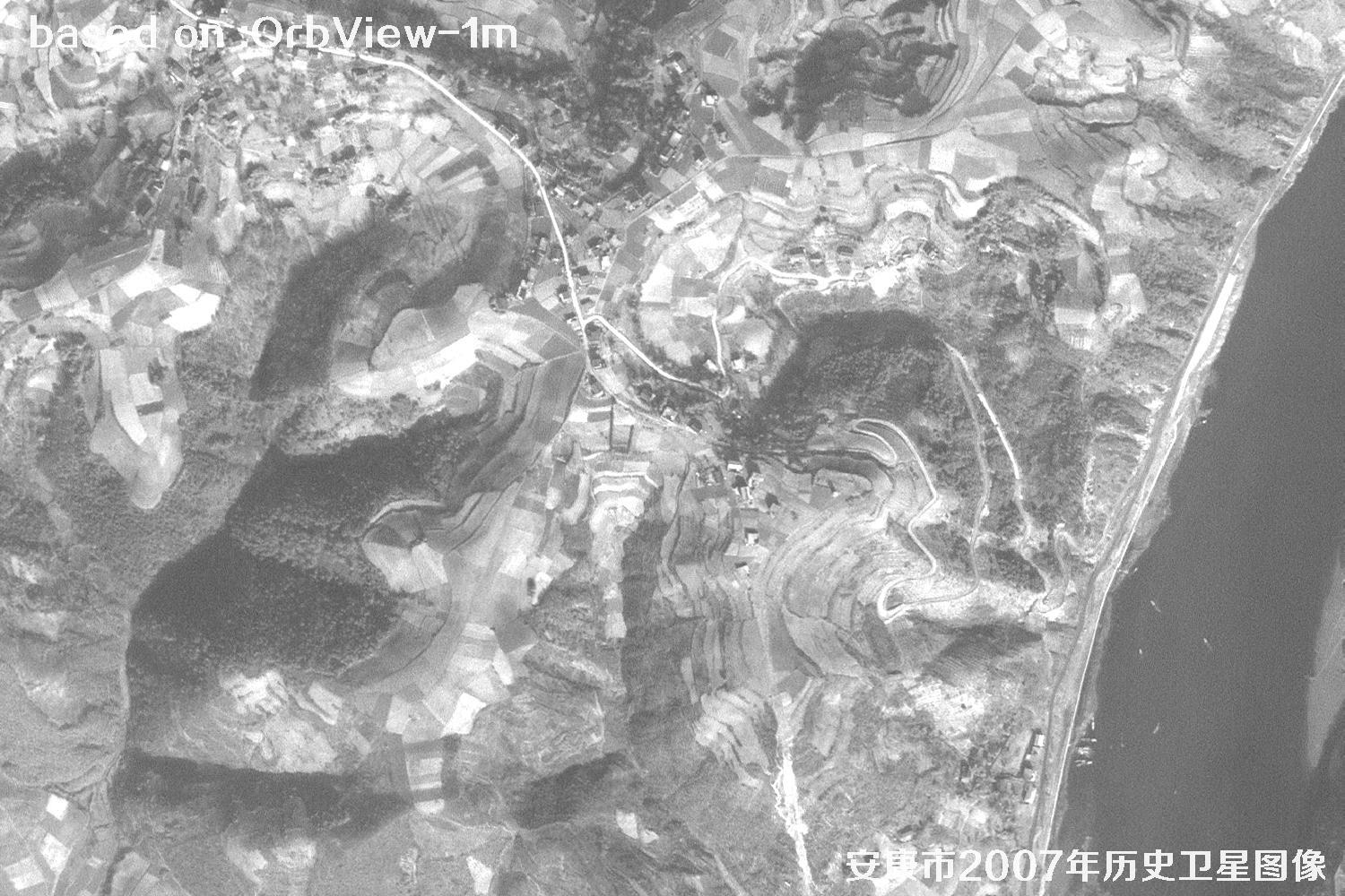 Sample
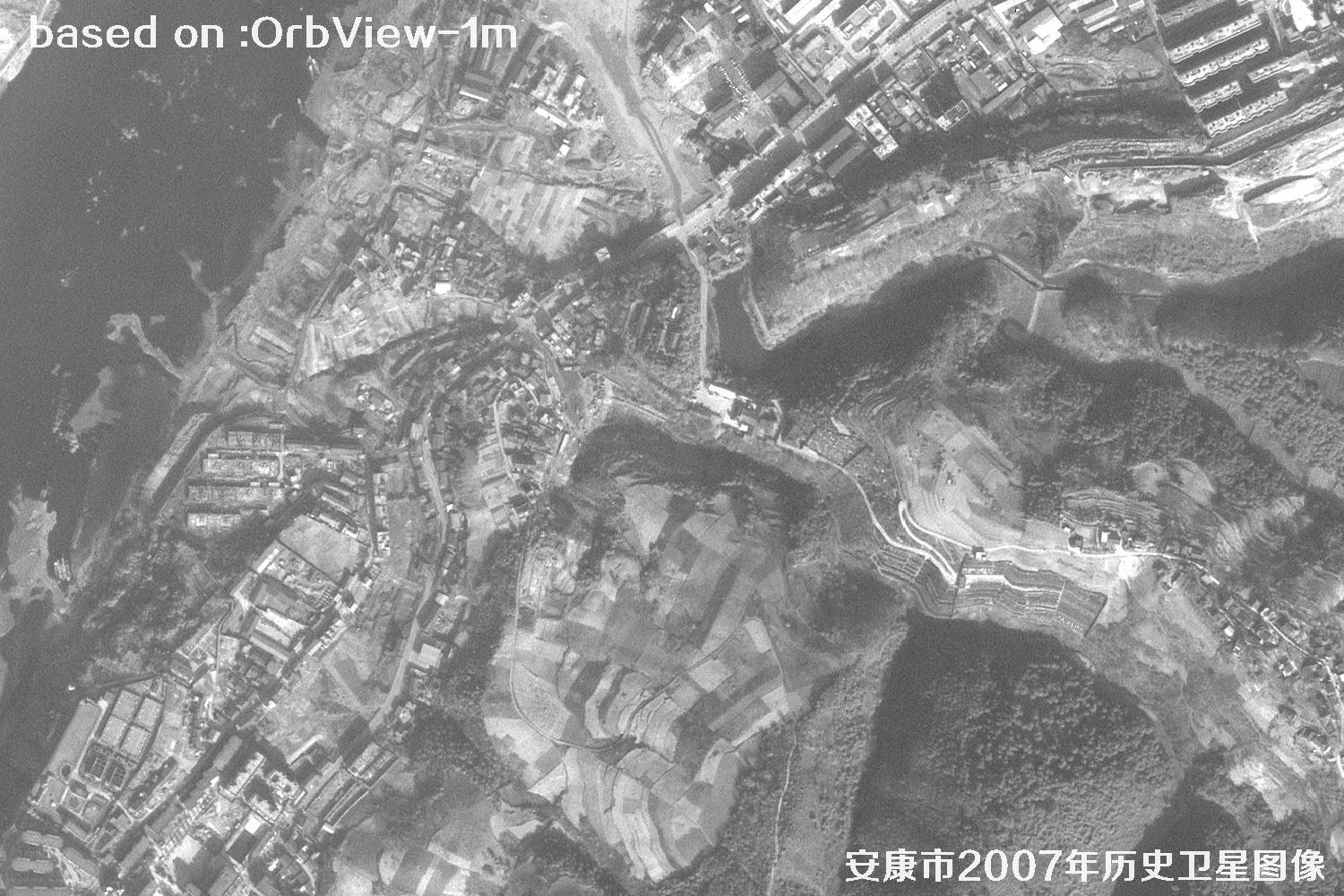 Sample
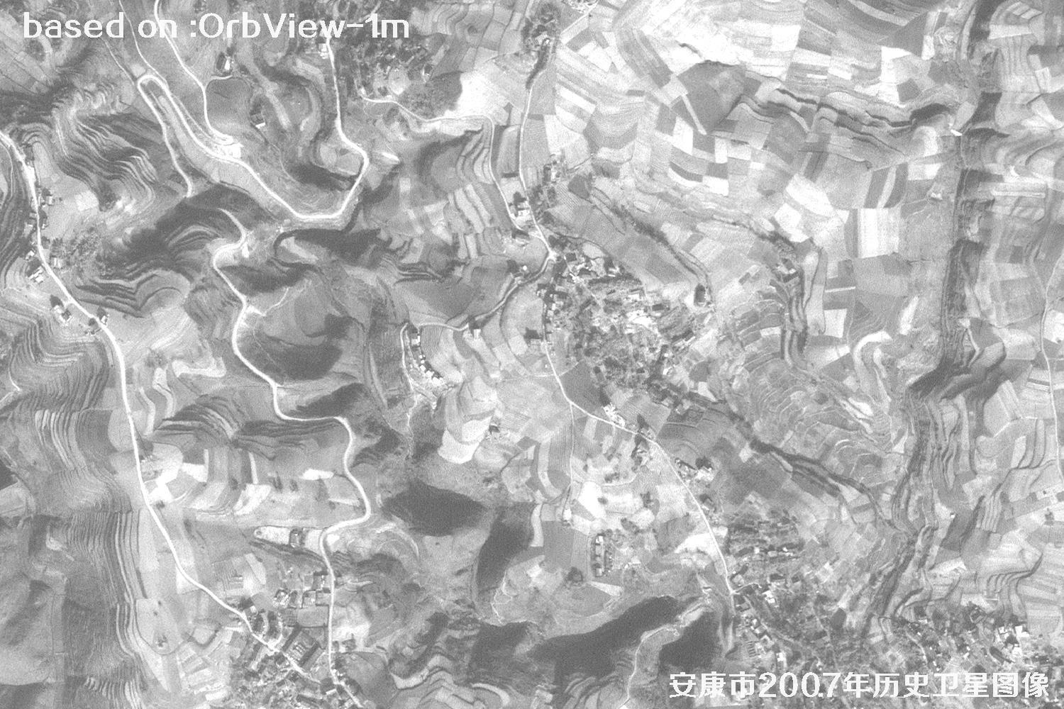 Sample
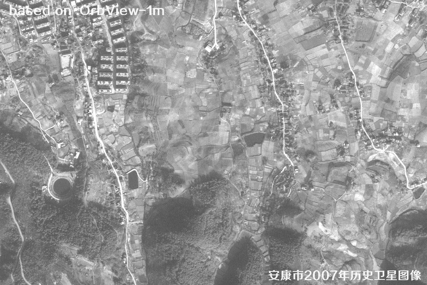 Sample
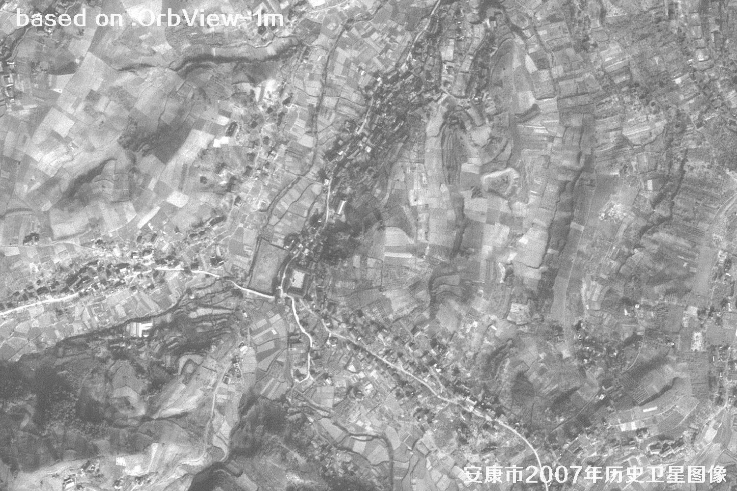 Sample
 Sample
 Sample
 Sample
 Sample
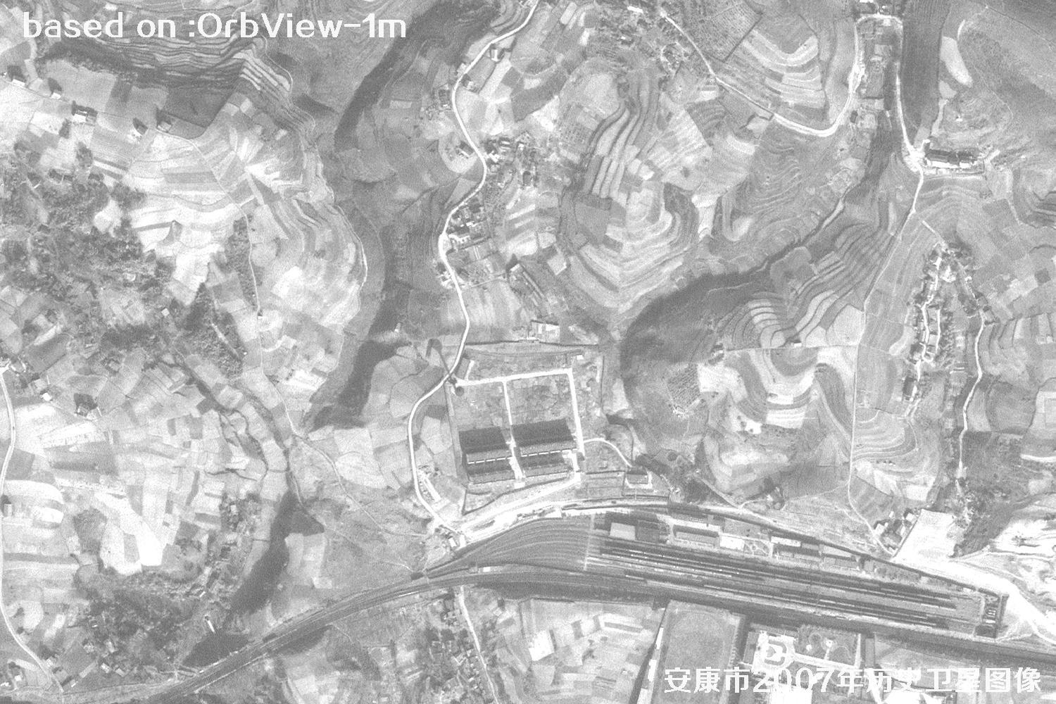 Sample