Latest 2025 Satellite Imagery – 0.5m SuperView Images of Jialai, Hainan
🛰️ About the SuperView Satellites
The SuperView (Gaojing-1) satellites are a new-generation high-resolution commercial remote-sensing constellation independently developed and operated by China — among the flagship achievements of the country's remote-sensing program. The multi-satellite constellation delivers high-frequency, wide-coverage, high-resolution Earth observation, providing stable, continuous, high-quality imagery services to users worldwide.
SuperView's greatest highlight is its outstanding spatial resolution: up to 0.5 m panchromatic, meaning any ground feature larger than 0.5 m can be effectively resolved. This sharpness ranks among the leaders in international commercial satellites, enabling precise identification and extraction of buildings, roads, vehicles and trees, and supplying critical data for land monitoring, urban planning, emergency management and resource surveys.
Compared with foreign high-resolution satellites, SuperView's Chinese origin brings clear data-security and self-controllability advantages: users can obtain and apply high-quality imagery without worrying about international data-policy restrictions or information-security risks — particularly suited to major national projects, key-infrastructure monitoring and sensitive scenarios. The system also offers flexible imaging, rapid response and massive data-processing capacity for diverse missions and industries.
In short, with 0.5-m ultra-high resolution plus the security and reliability of a Chinese satellite, SuperView provides secure, efficient, HD remote-sensing services to users in China and around the world — a key asset for Digital China and a smart Earth.
| 🌍 Country | China (independently developed & operated) |
|---|---|
| 📍 Area | Around Jialai Town, Hainan Province |
| 🛰️ Satellite | SuperView / Gaojing-1 constellation (multi-satellite, high-frequency & wide coverage) |
| 🔍 Resolution | Up to 0.5 m panchromatic (features > 0.5 m effectively resolved) |
| 🗓️ Imaging date | Latest 2025 acquisition |
| 🖼️ Scenes published here | 47 views (Fig. 1 – Fig. 47, incl. detail views) |
| 🏢 Publisher | Beijing Yijingtu (contact staff / leave a message / more SuperView scenes) |
📊 What 0.5 m reveals
💡 Typical uses: land monitoring, urban planning, emergency management, resource surveys and key-infrastructure watch.
⚙️ At a glance
📍 Jialai, Hainan · 🗓️ Latest 2025 · 🔍 0.5 m
🛰️ SuperView · 🖼️ 47 views · 🛒 Available to order
🛰️ Sample satellite imagery for purchase (47 views):
Tip: click any image to enlarge (click, arrow keys, Esc, or prev / next buttons are supported).
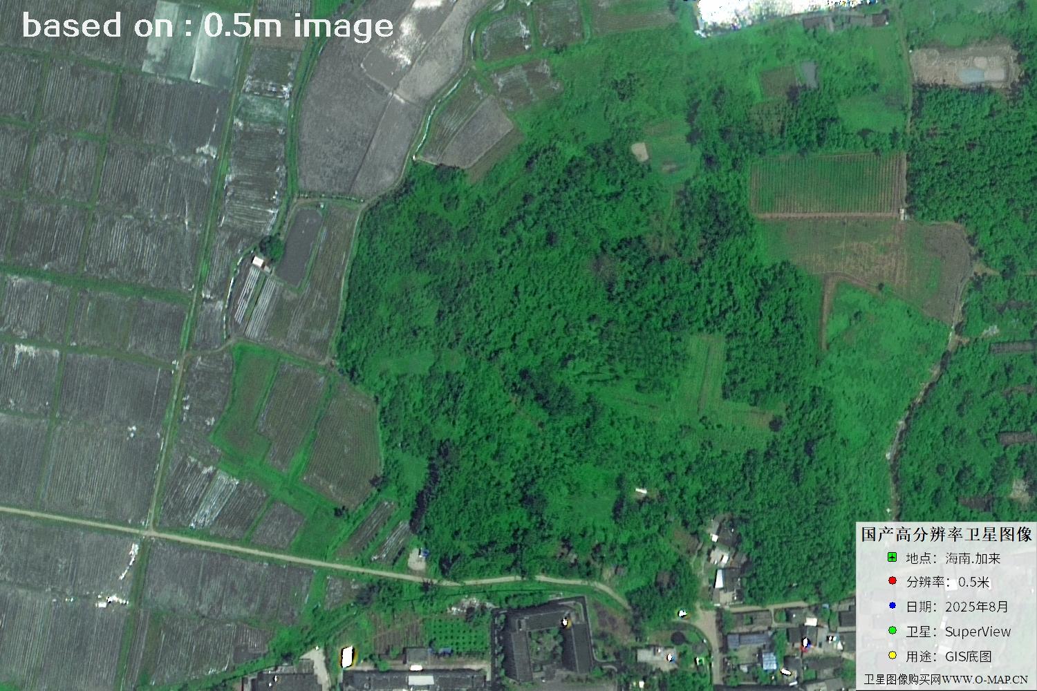
Fig. 1 — Latest 2025 0.5m satellite image of Jialai, Hainan (scene 1 of 47)
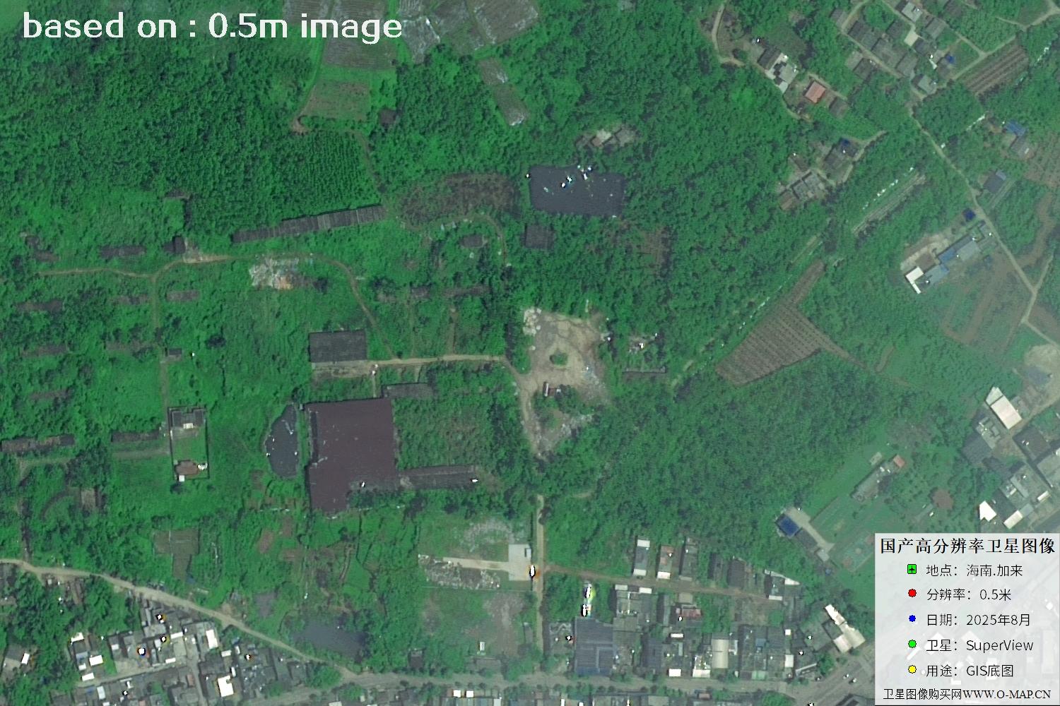
Fig. 2 — Latest 2025 0.5m satellite image of Jialai, Hainan (scene 2 of 47)
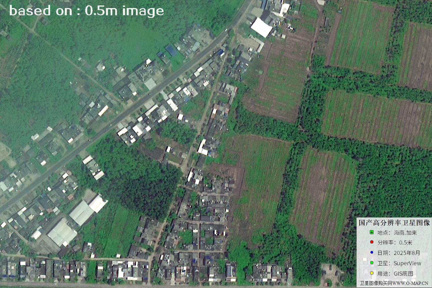
Fig. 3 — Latest 2025 0.5m satellite image of Jialai, Hainan (scene 3 of 47)
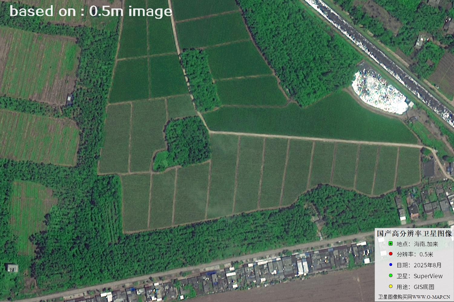
Fig. 4 — Latest 2025 0.5m satellite image of Jialai, Hainan (scene 4 of 47)
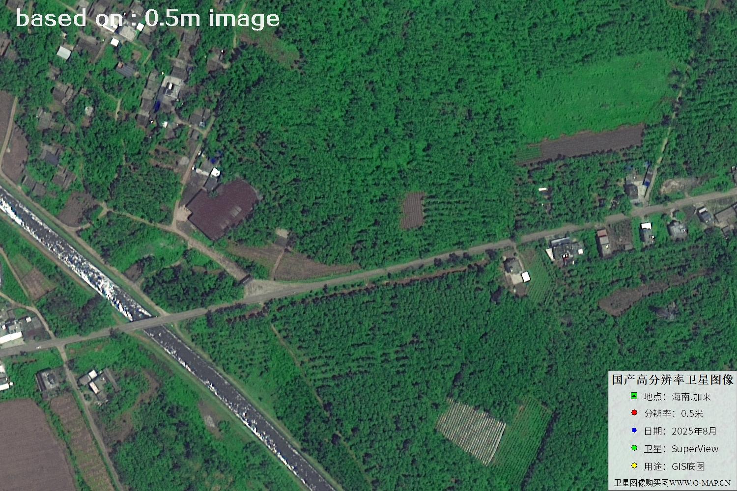
Fig. 5 — Latest 2025 0.5m satellite image of Jialai, Hainan (scene 5 of 47)
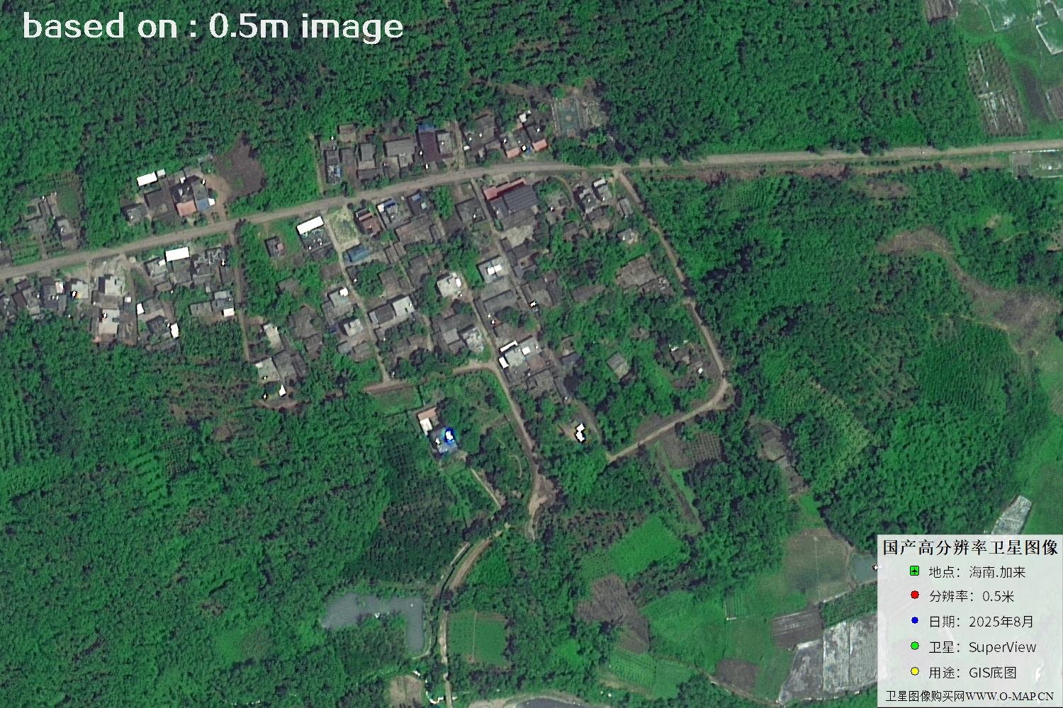
Fig. 6 — Latest 2025 0.5m satellite image of Jialai, Hainan (scene 6 of 47)
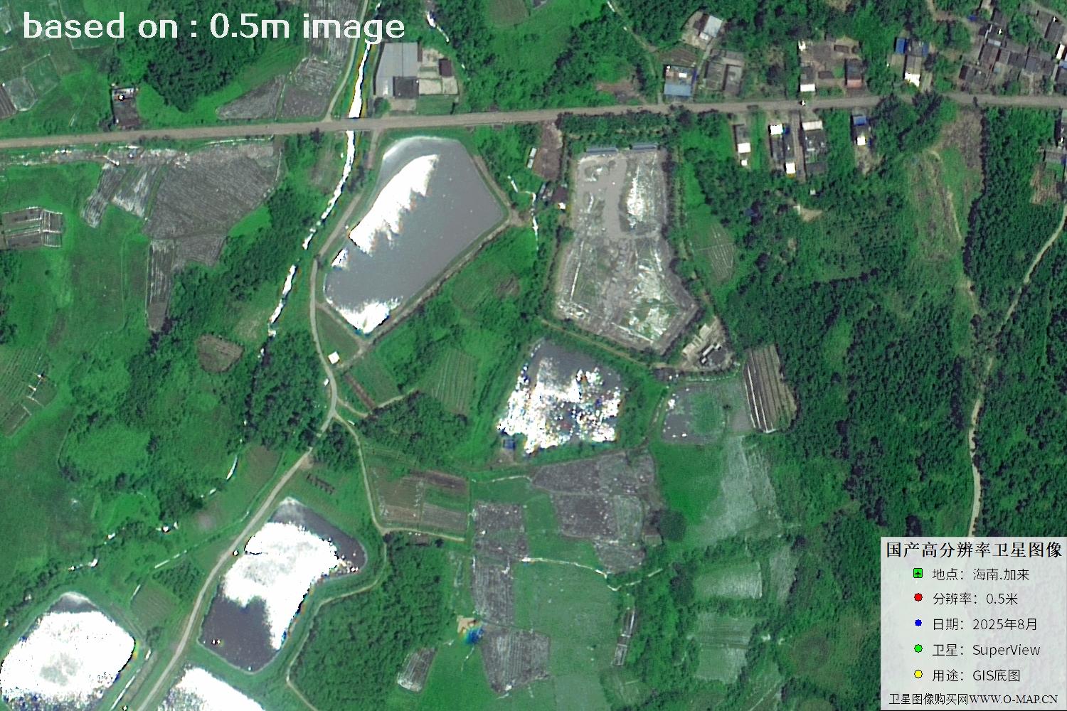
Fig. 7 — Latest 2025 0.5m satellite image of Jialai, Hainan (scene 7 of 47)
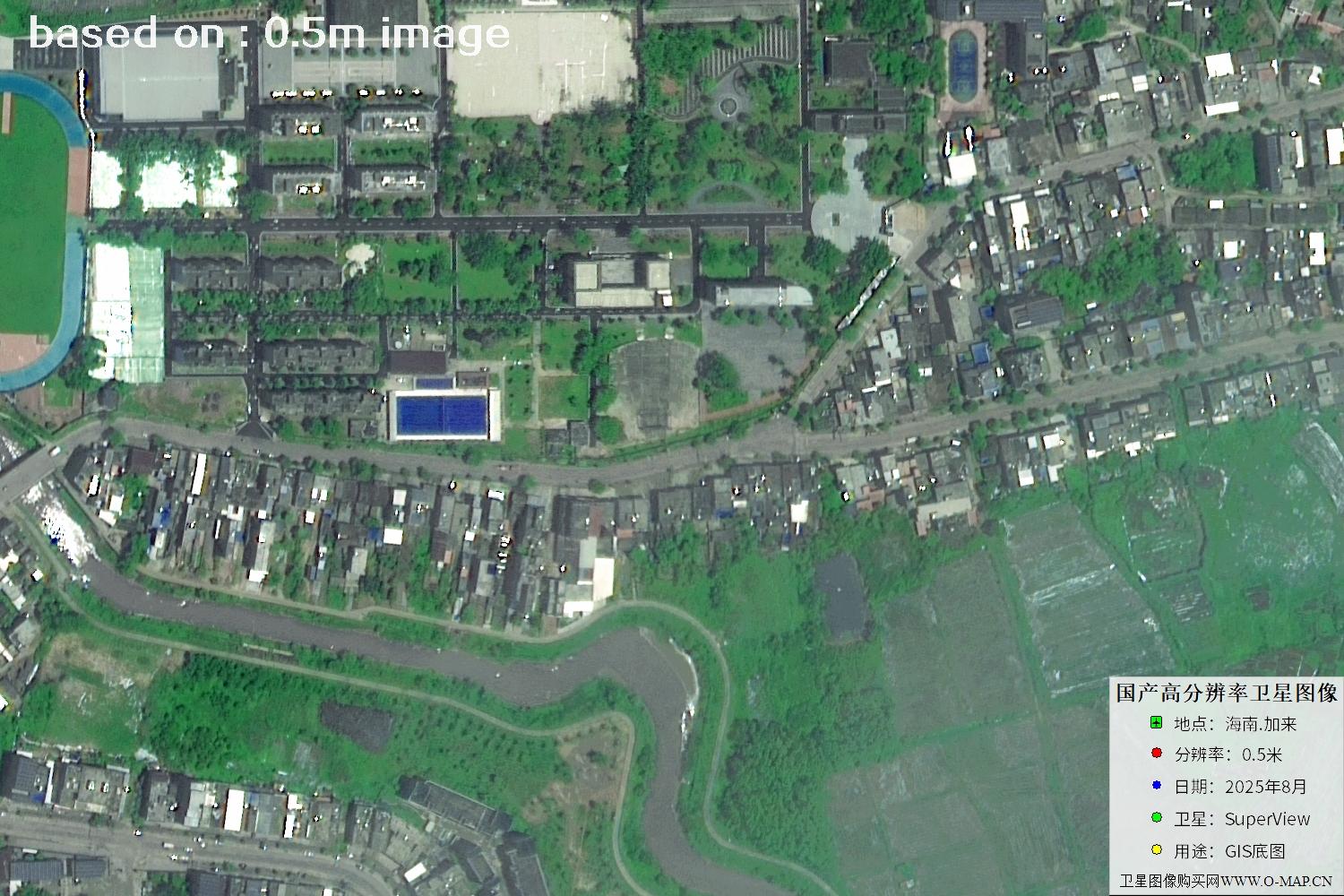
Fig. 8 — Latest 2025 0.5m satellite image of Jialai, Hainan (scene 8 of 47)
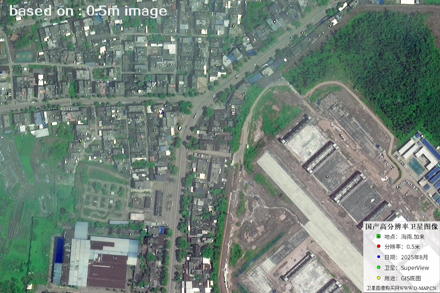
Fig. 9 — Latest 2025 0.5m satellite image of Jialai, Hainan (scene 9 of 47)
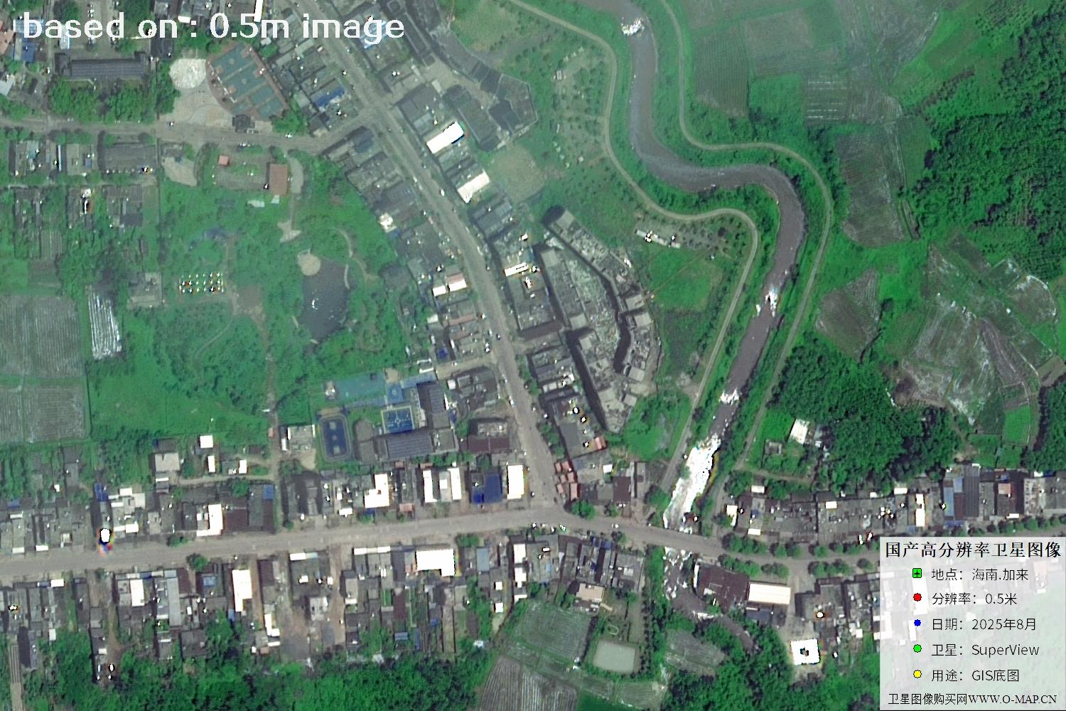
Fig. 10 — Latest 2025 0.5m satellite image of Jialai, Hainan (scene 10 of 47)
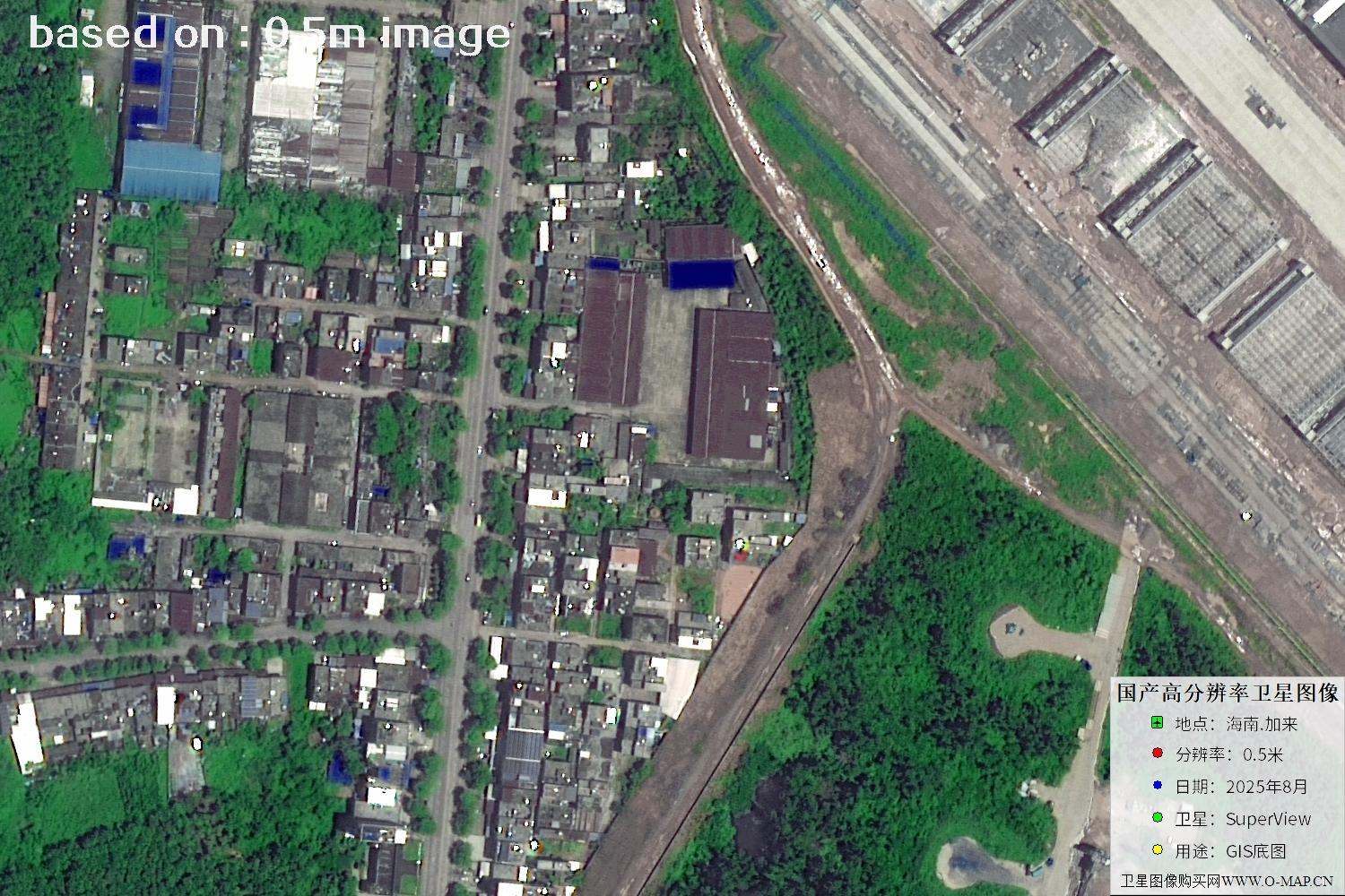
Fig. 11 — Latest 2025 0.5m satellite image of Jialai, Hainan (scene 11 of 47)
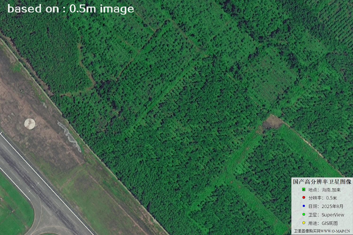
Fig. 12 — Latest 2025 0.5m satellite image of Jialai, Hainan (scene 12 of 47)
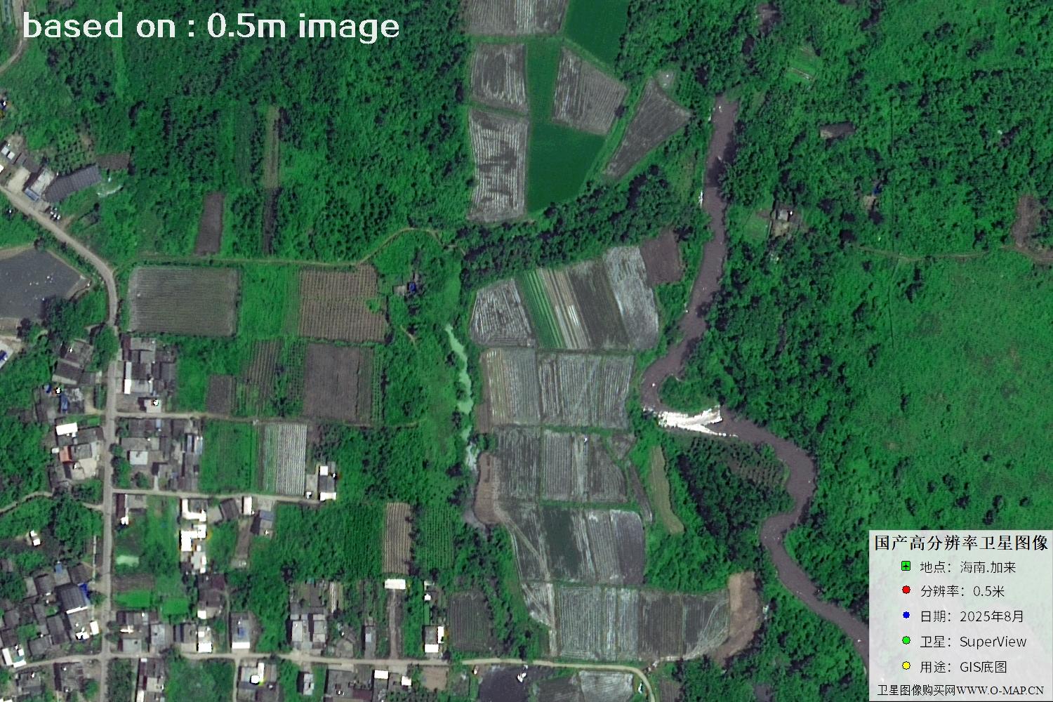
Fig. 13 — Latest 2025 0.5m satellite image of Jialai, Hainan (scene 13 of 47)
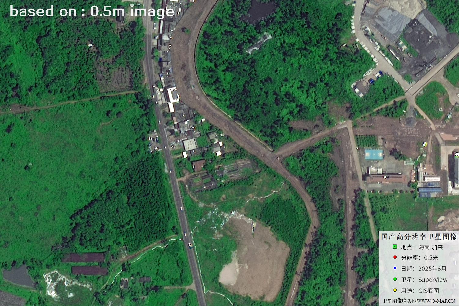
Fig. 14 — Latest 2025 0.5m satellite image of Jialai, Hainan (scene 14 of 47)
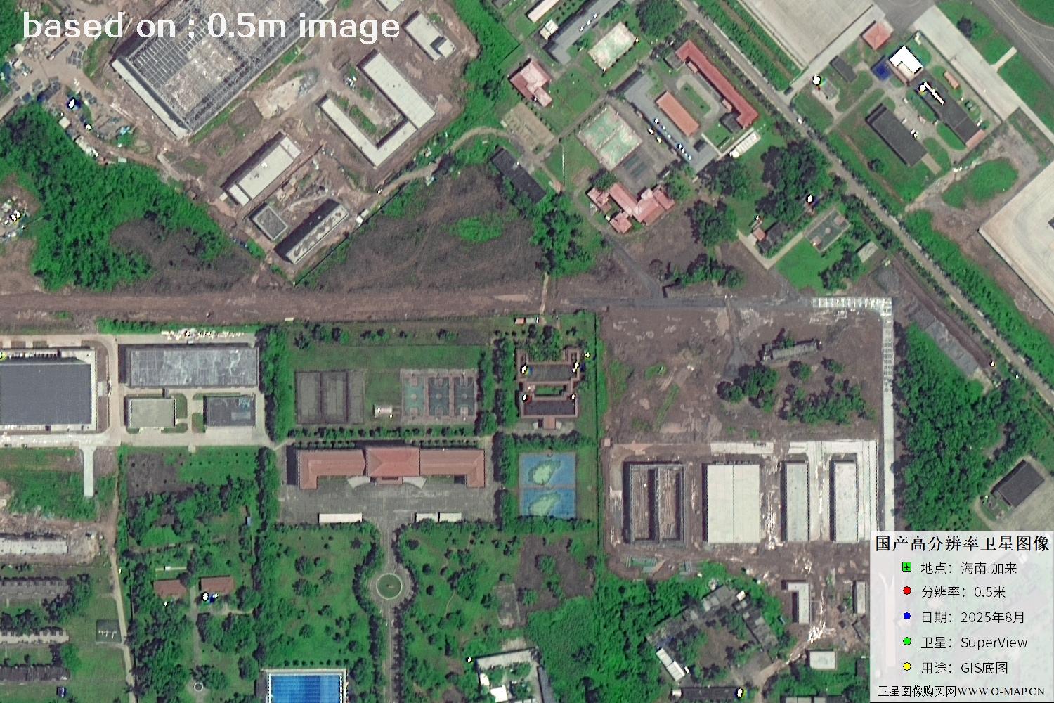
Fig. 15 — Latest 2025 0.5m satellite image of Jialai, Hainan (scene 15 of 47)
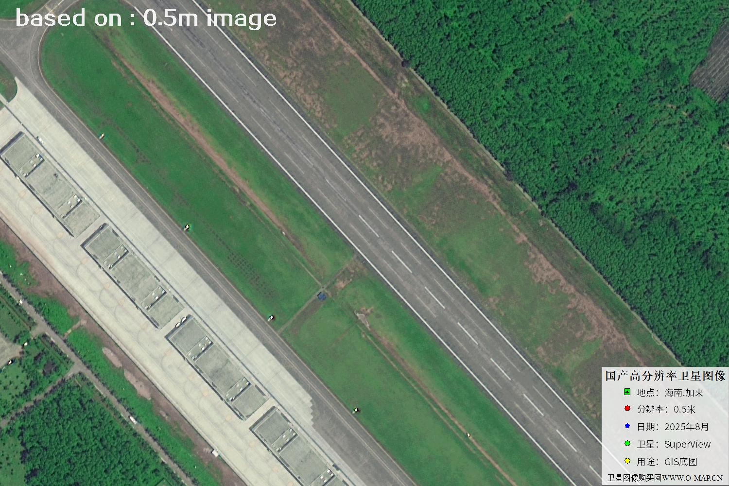
Fig. 16 — Latest 2025 0.5m satellite image of Jialai, Hainan (scene 16 of 47)
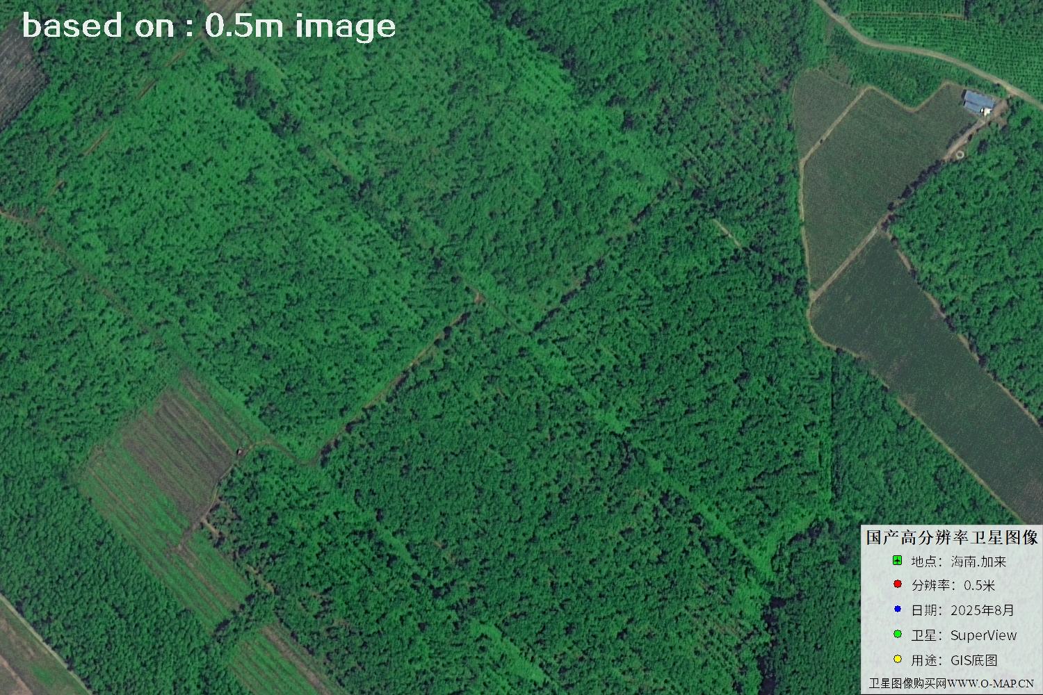
Fig. 17 — Latest 2025 0.5m satellite image of Jialai, Hainan (scene 17 of 47)
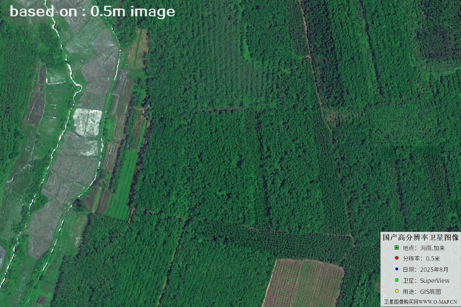
Fig. 18 — Latest 2025 0.5m satellite image of Jialai, Hainan (scene 18 of 47)
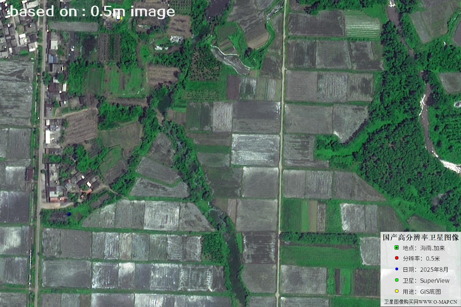
Fig. 19 — Latest 2025 0.5m satellite image of Jialai, Hainan (scene 19 of 47)
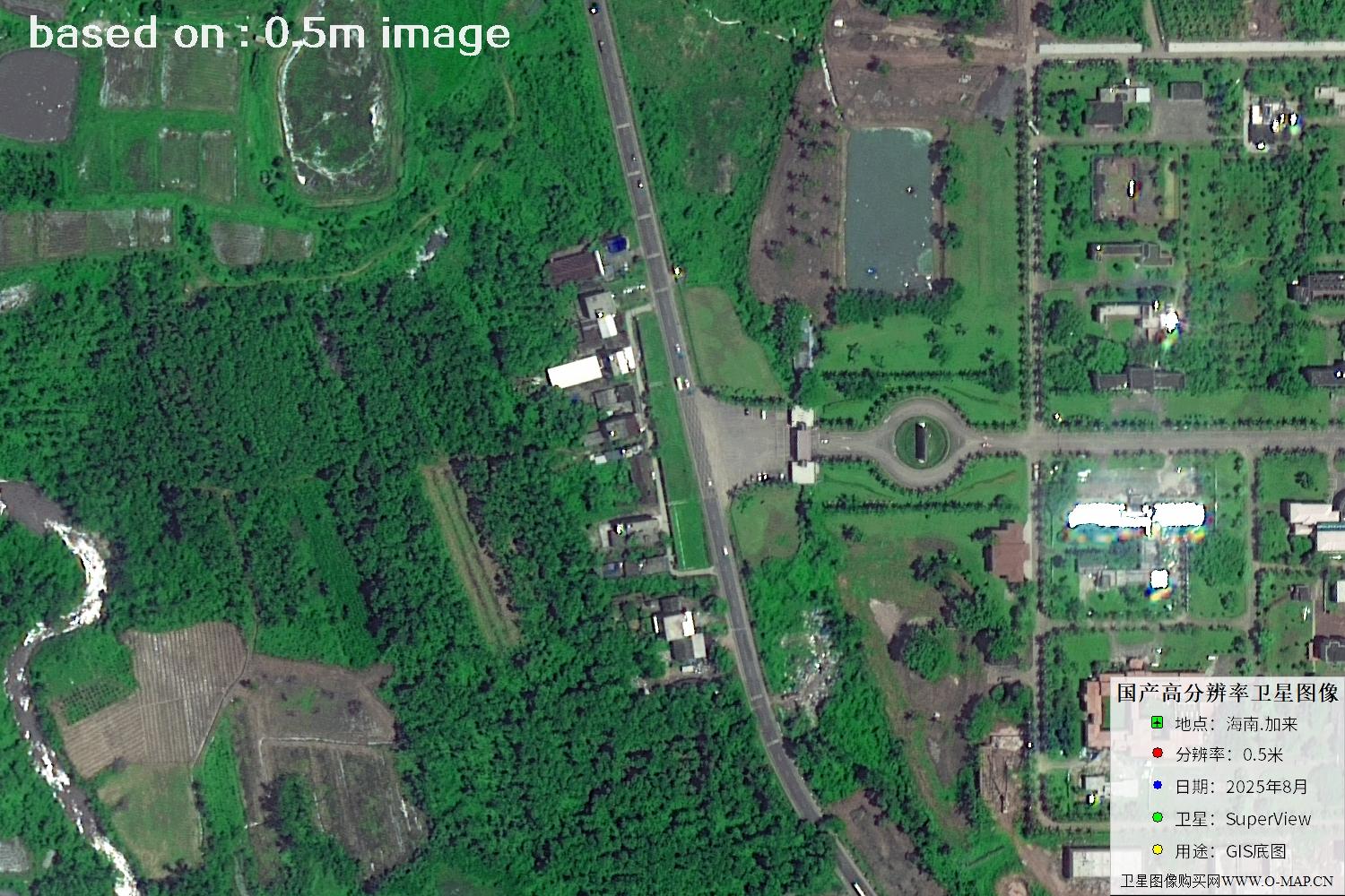
Fig. 20 — Latest 2025 0.5m satellite image of Jialai, Hainan (scene 20 of 47)
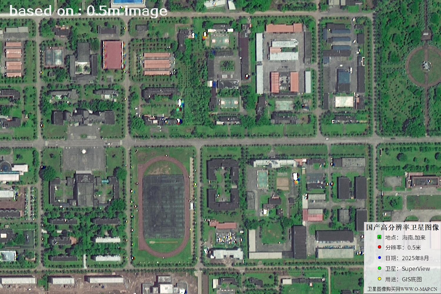
Fig. 21 — Latest 2025 0.5m satellite image of Jialai, Hainan (scene 21 of 47)
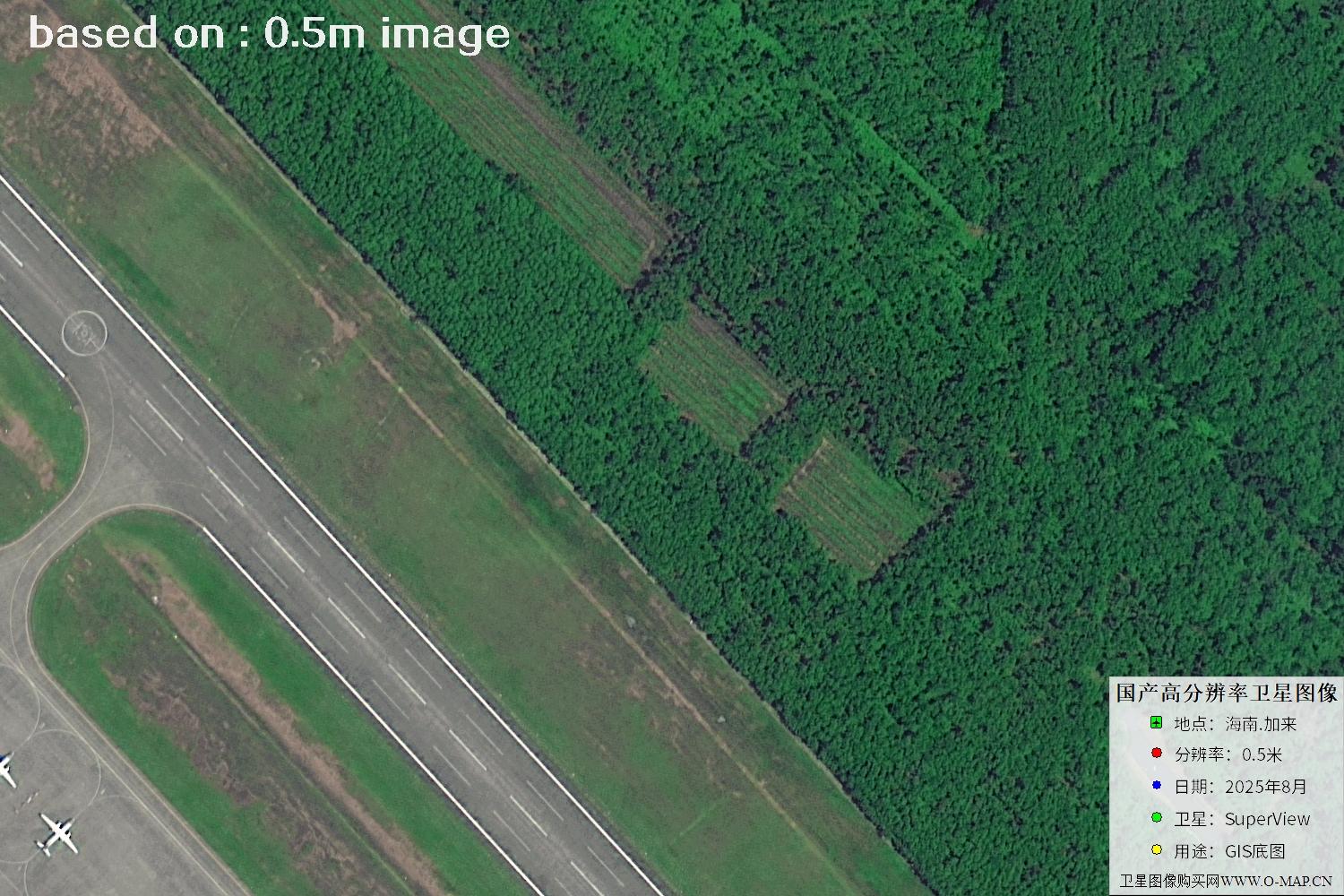
Fig. 22 — Latest 2025 0.5m satellite image of Jialai, Hainan (scene 22 of 47)
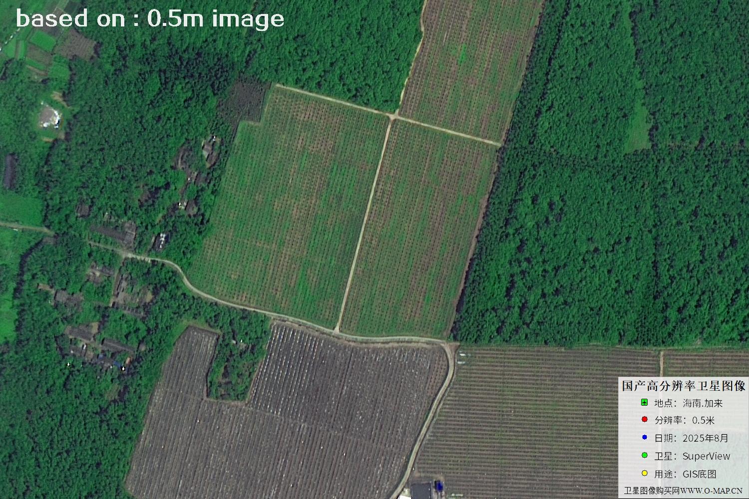
Fig. 23 — Latest 2025 0.5m satellite image of Jialai, Hainan (scene 23 of 47)
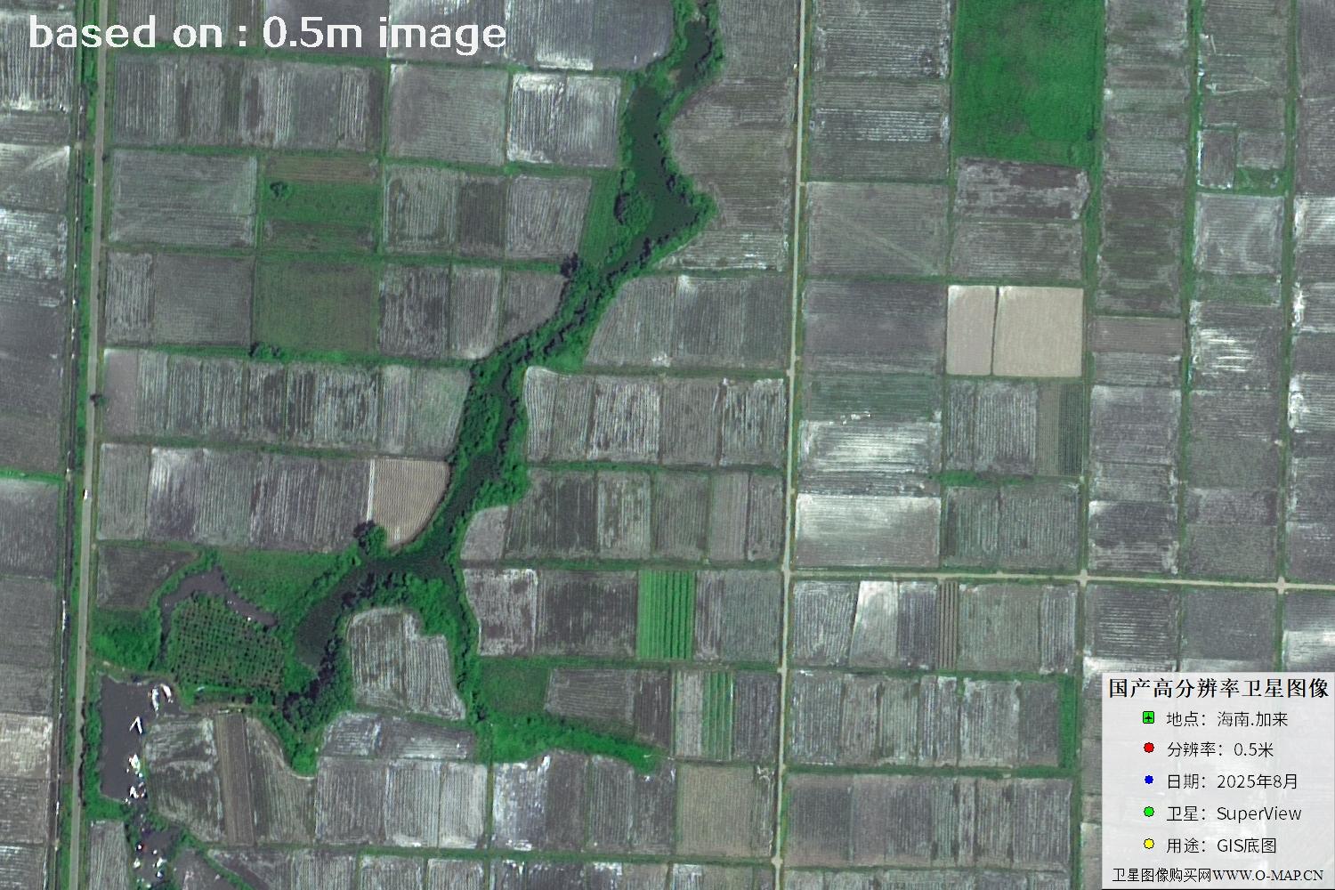
Fig. 24 — Latest 2025 0.5m satellite image of Jialai, Hainan (scene 24 of 47)
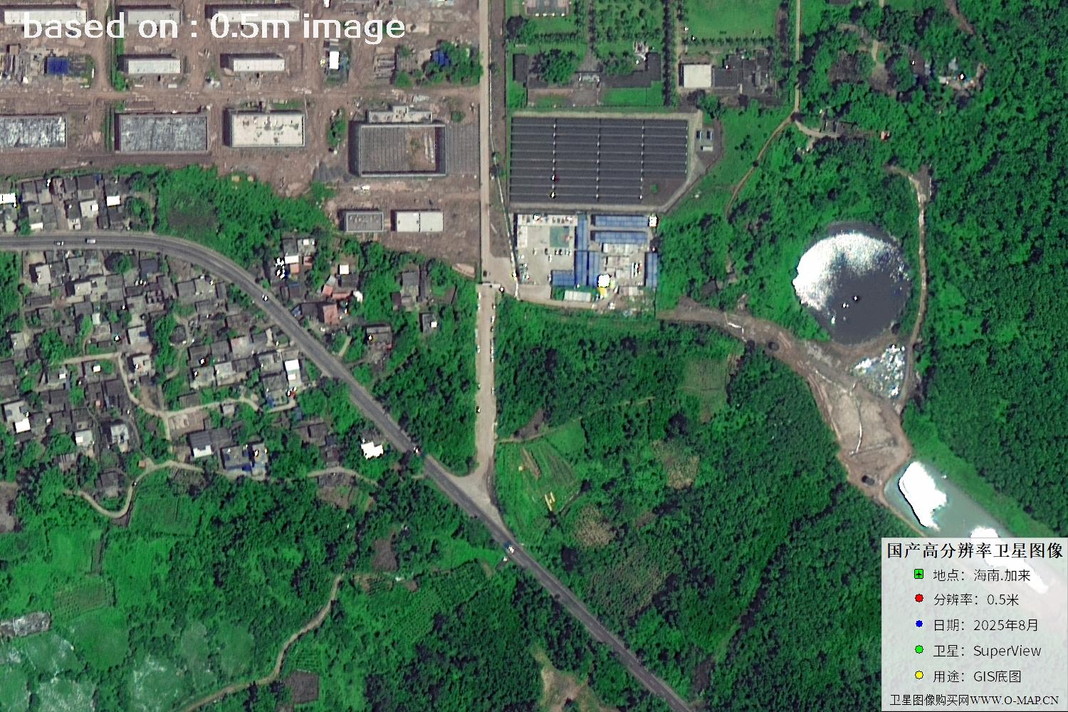
Fig. 25 — Latest 2025 0.5m satellite image of Jialai, Hainan (scene 25 of 47)
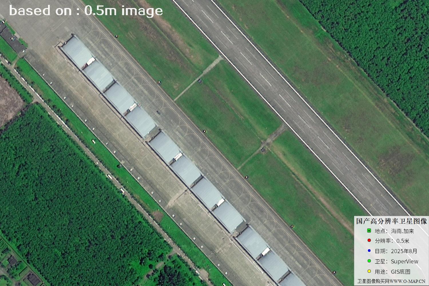
Fig. 26 — Latest 2025 0.5m satellite image of Jialai, Hainan (scene 26 of 47)
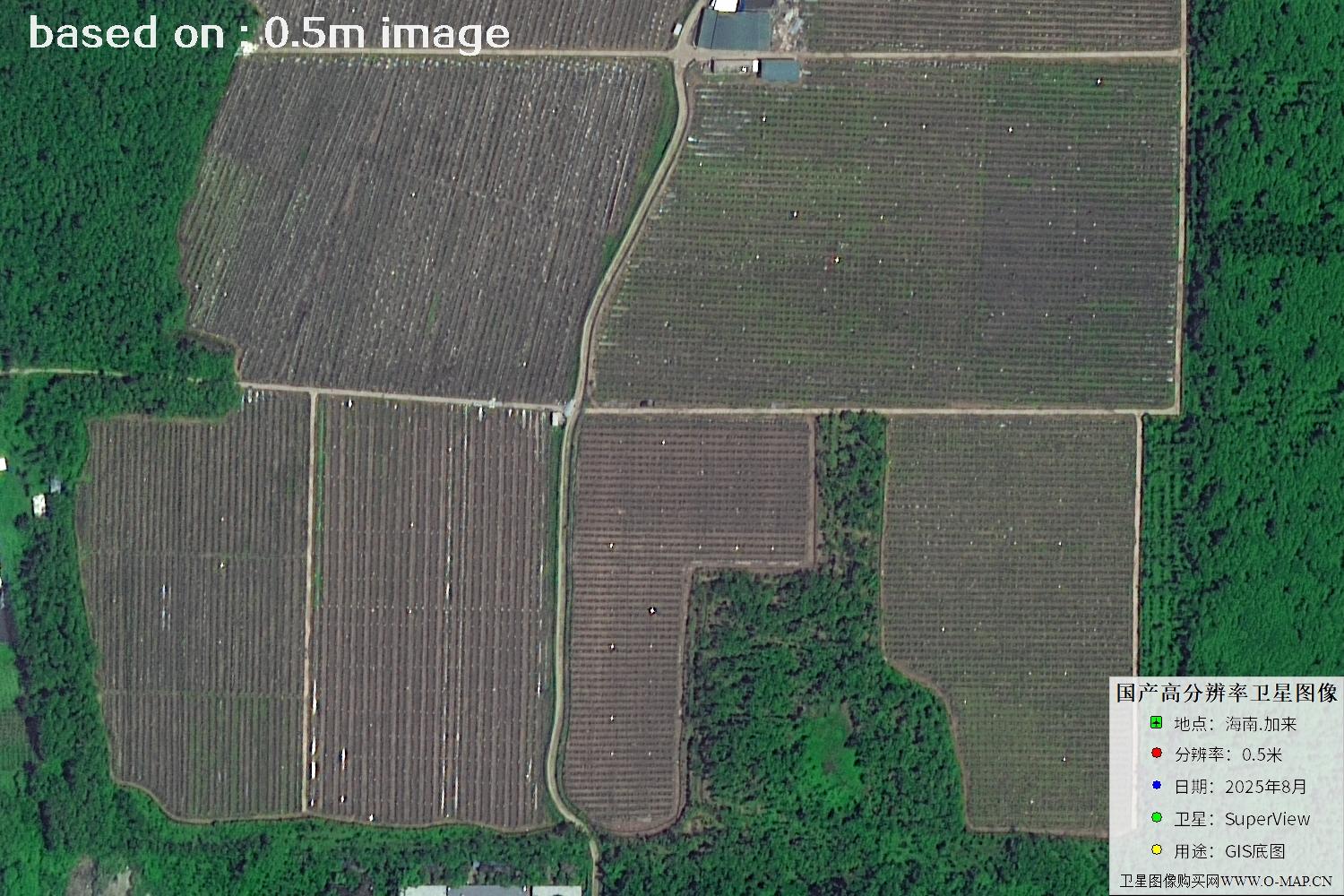
Fig. 27 — Latest 2025 0.5m satellite image of Jialai, Hainan (scene 27 of 47)
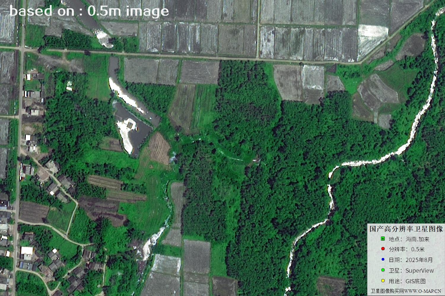
Fig. 28 — Latest 2025 0.5m satellite image of Jialai, Hainan (scene 28 of 47)
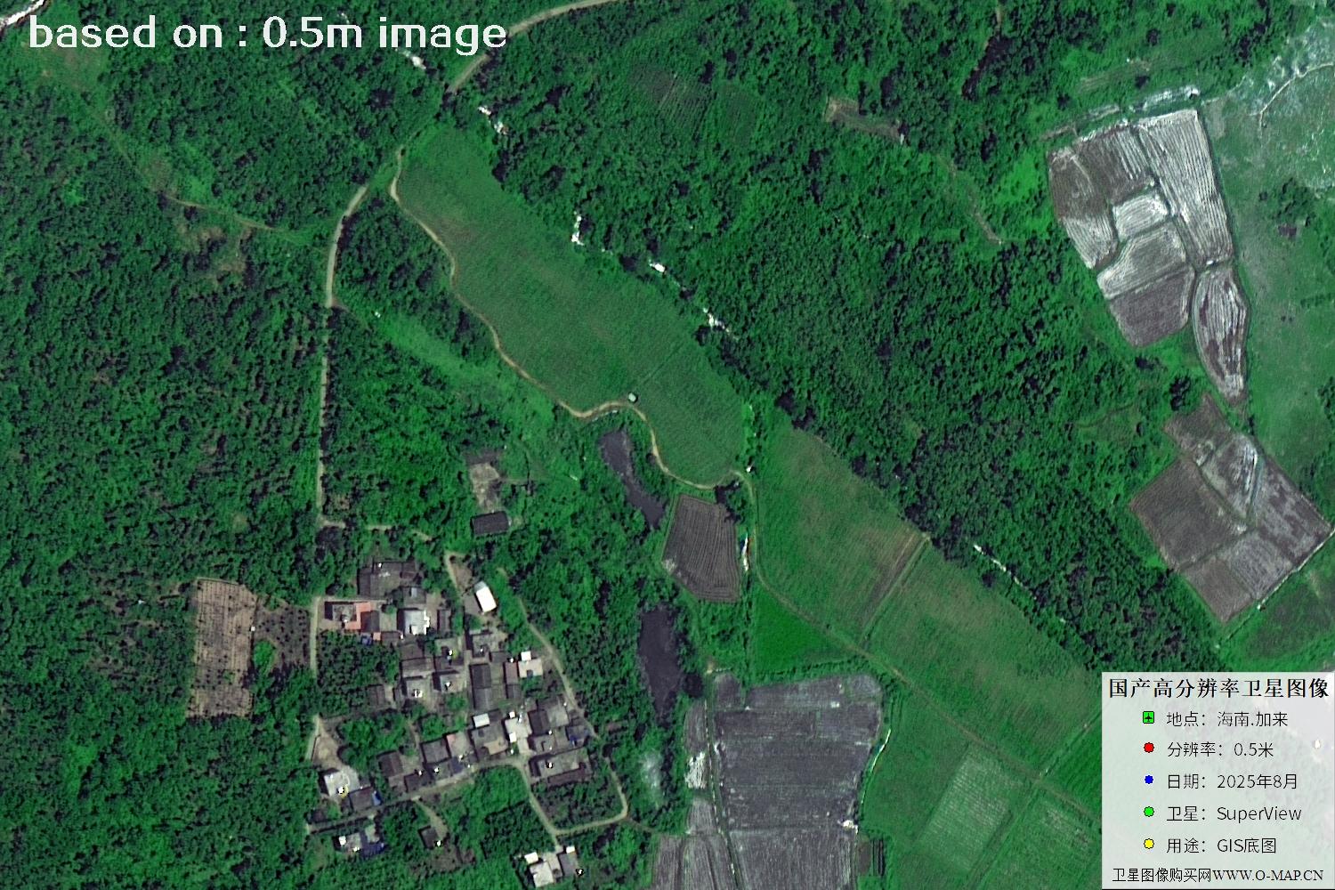
Fig. 29 — Latest 2025 0.5m satellite image of Jialai, Hainan (scene 29 of 47)
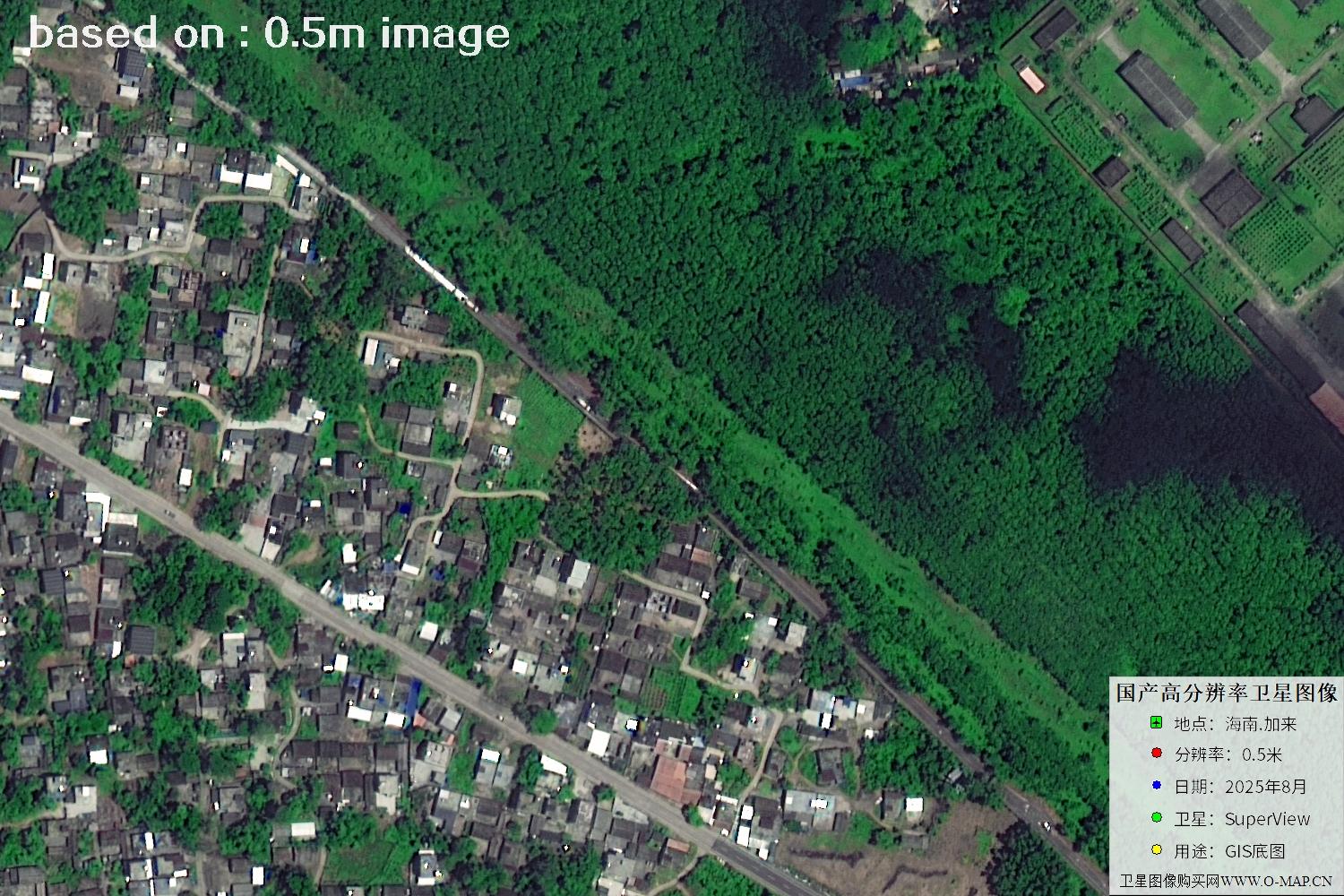
Fig. 30 — Latest 2025 0.5m satellite image of Jialai, Hainan (scene 30 of 47)
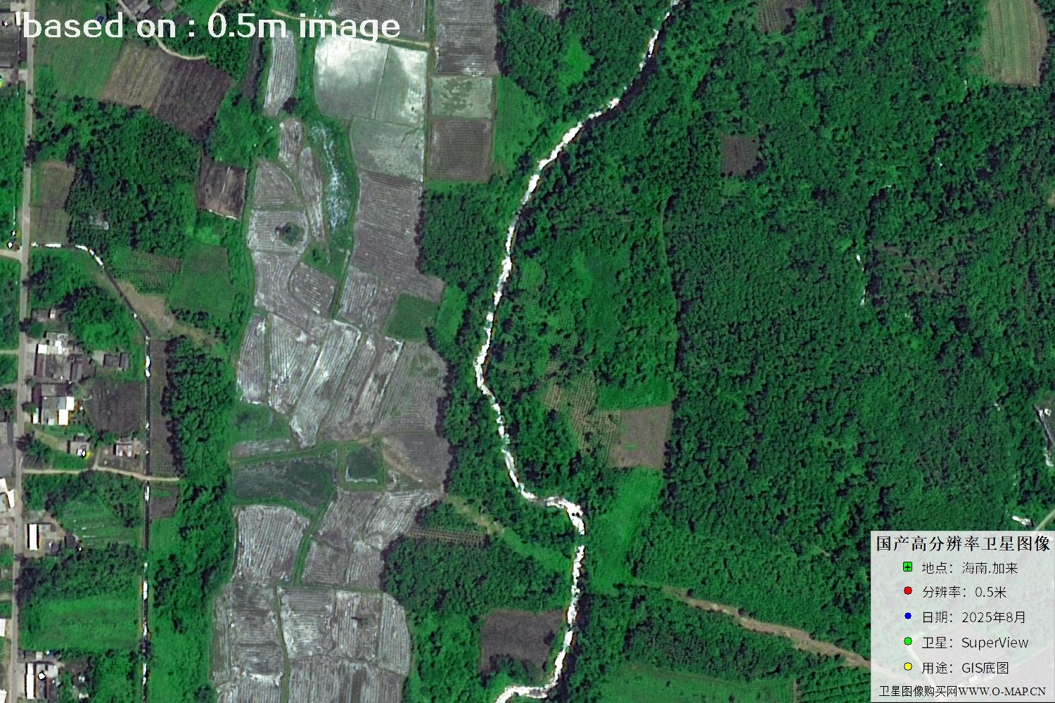
Fig. 31 — Latest 2025 0.5m satellite image of Jialai, Hainan (scene 31 of 47)
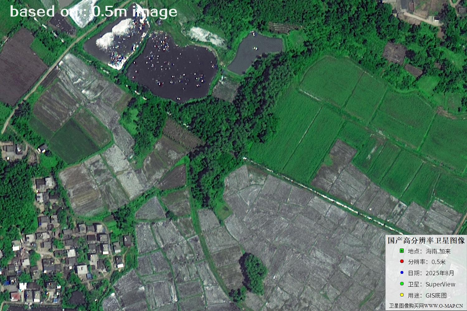
Fig. 32 — Latest 2025 0.5m satellite image of Jialai, Hainan (scene 32 of 47)
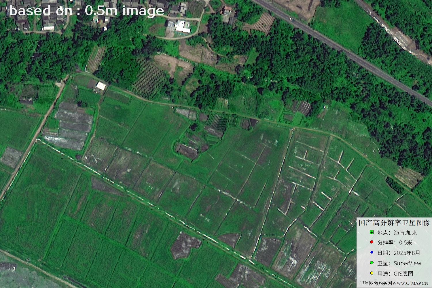
Fig. 33 — Latest 2025 0.5m satellite image of Jialai, Hainan (scene 33 of 47)
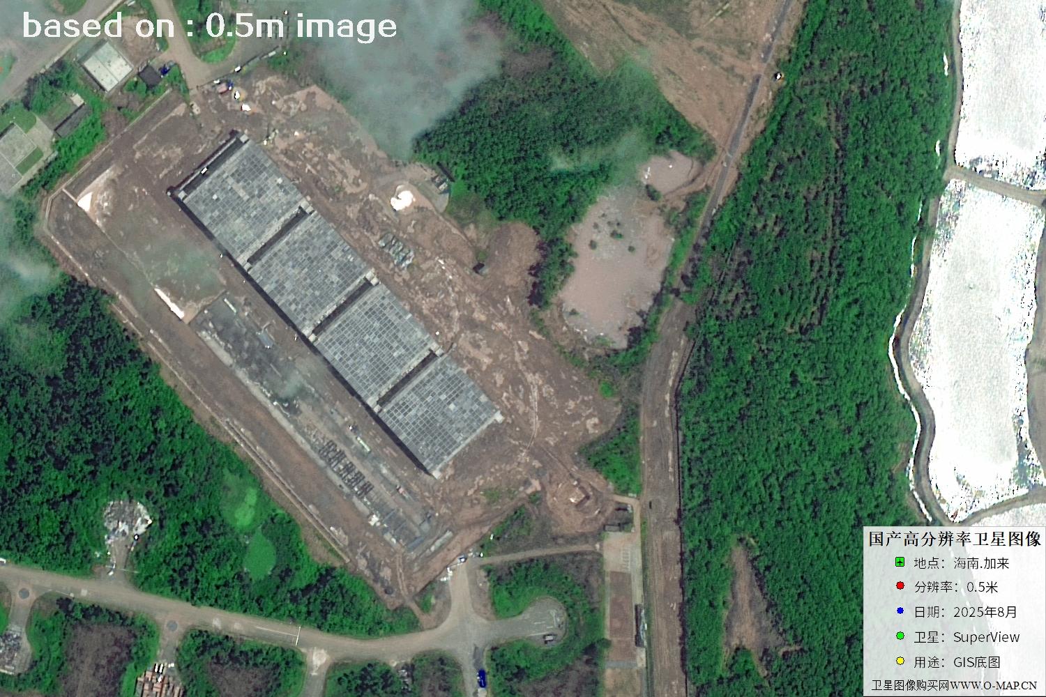
Fig. 34 — Latest 2025 0.5m satellite image of Jialai, Hainan (scene 34 of 47)
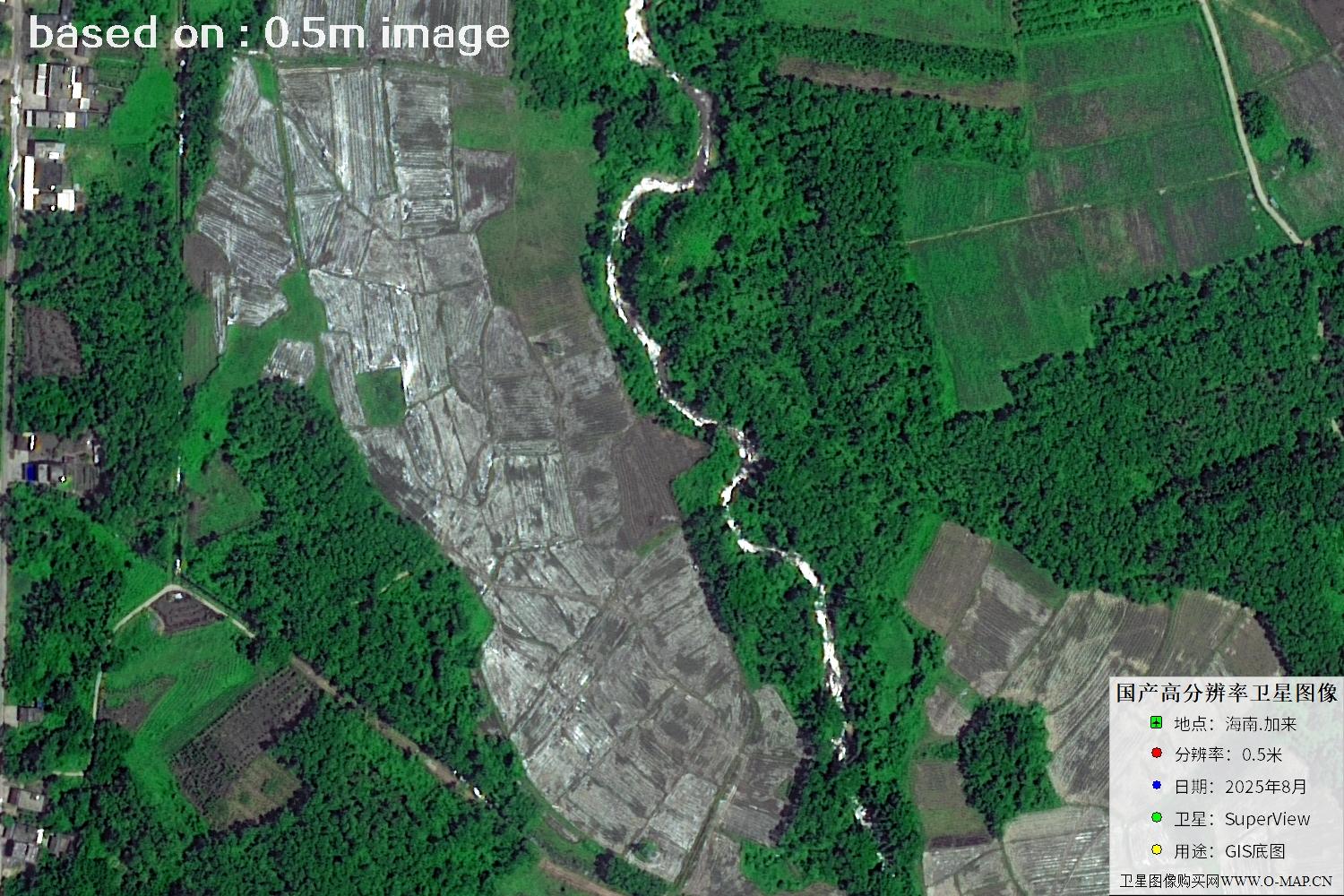
Fig. 35 — Latest 2025 0.5m satellite image of Jialai, Hainan (scene 35 of 47)
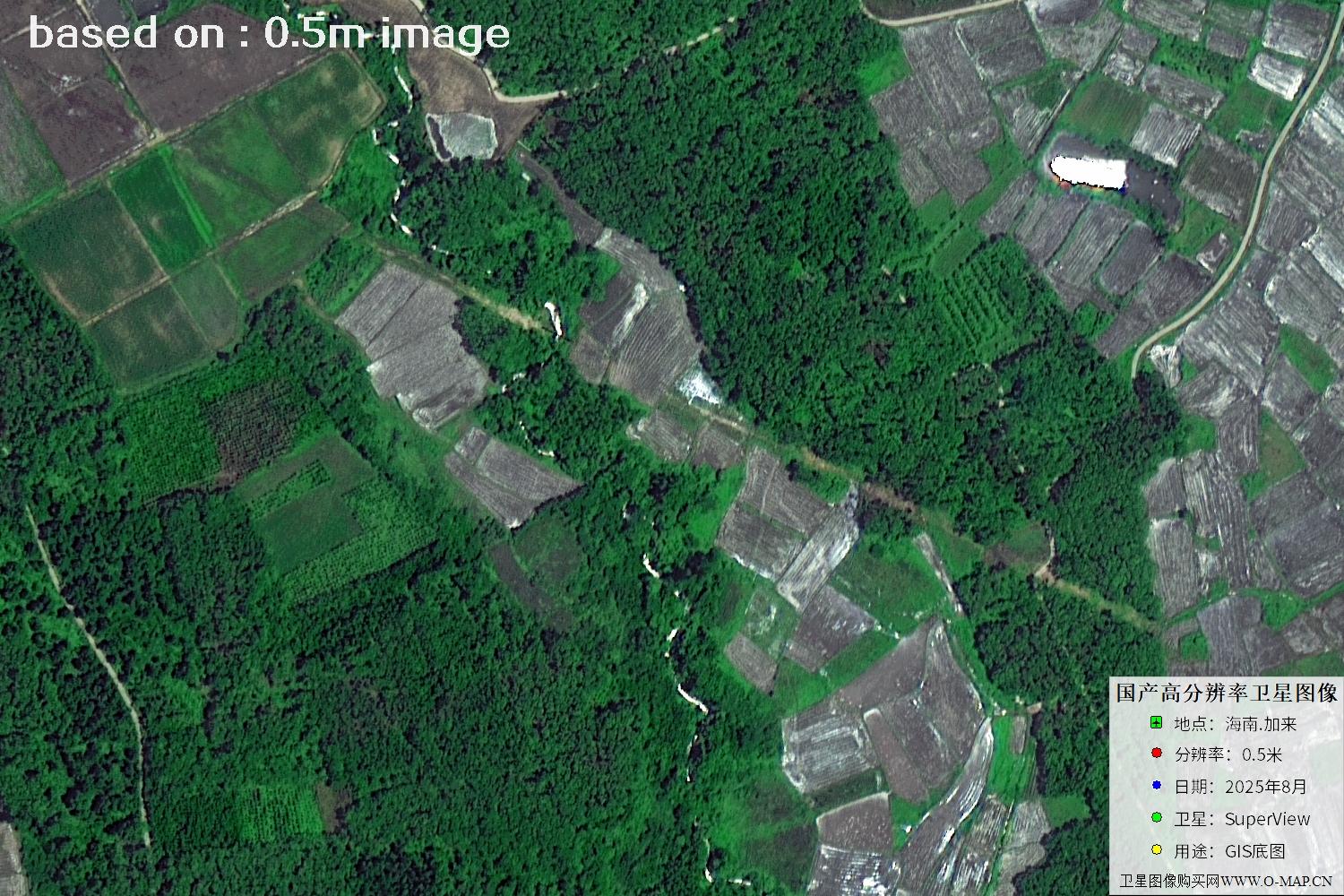
Fig. 36 — Latest 2025 0.5m satellite image of Jialai, Hainan (scene 36 of 47)
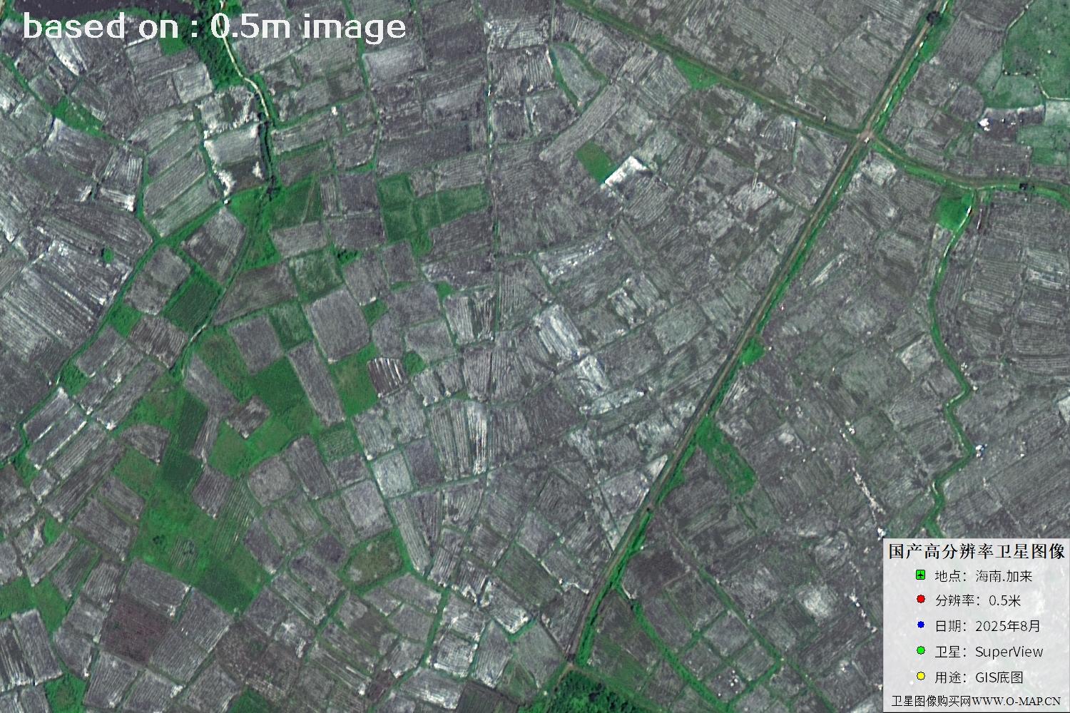
Fig. 37 — Latest 2025 0.5m satellite image of Jialai, Hainan (scene 37 of 47)
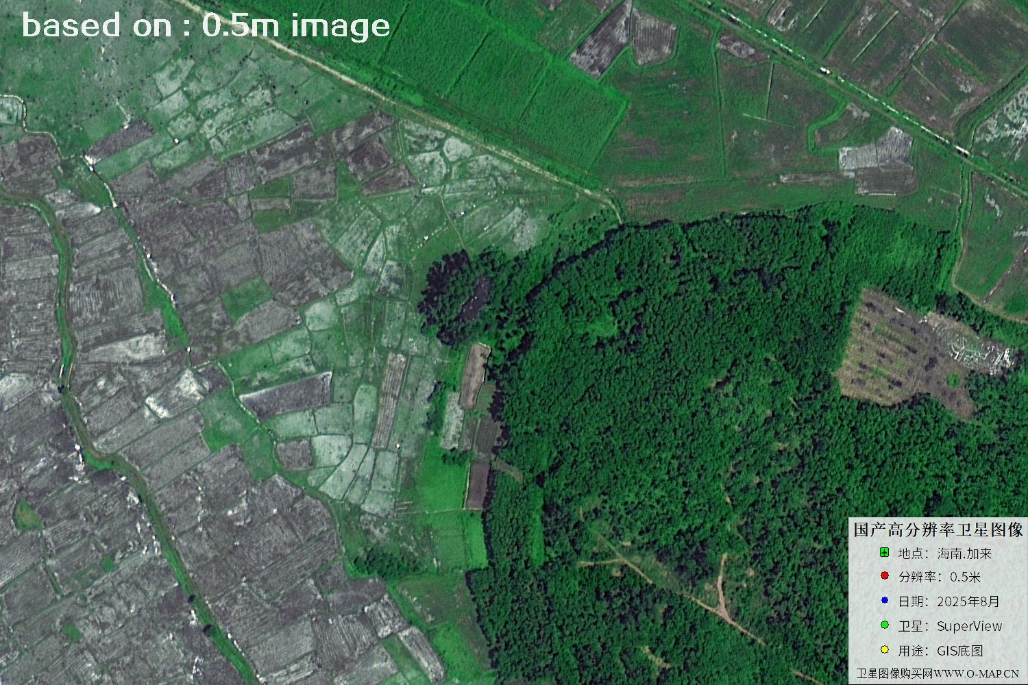
Fig. 38 — Latest 2025 0.5m satellite image of Jialai, Hainan (scene 38 of 47)
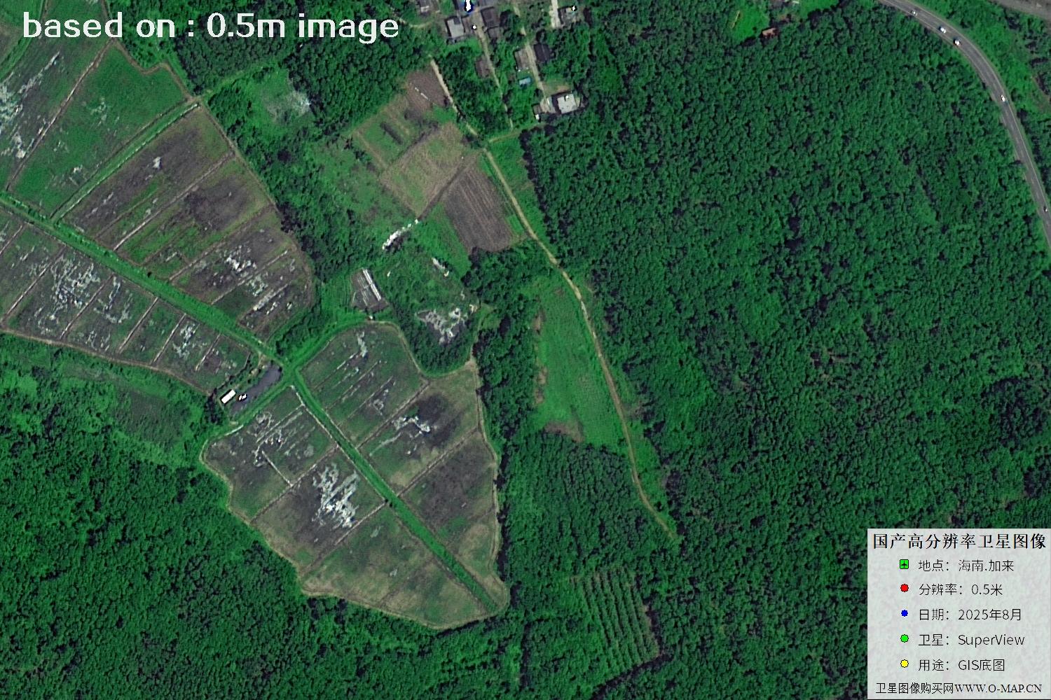
Fig. 39 — Latest 2025 0.5m satellite image of Jialai, Hainan (scene 39 of 47)
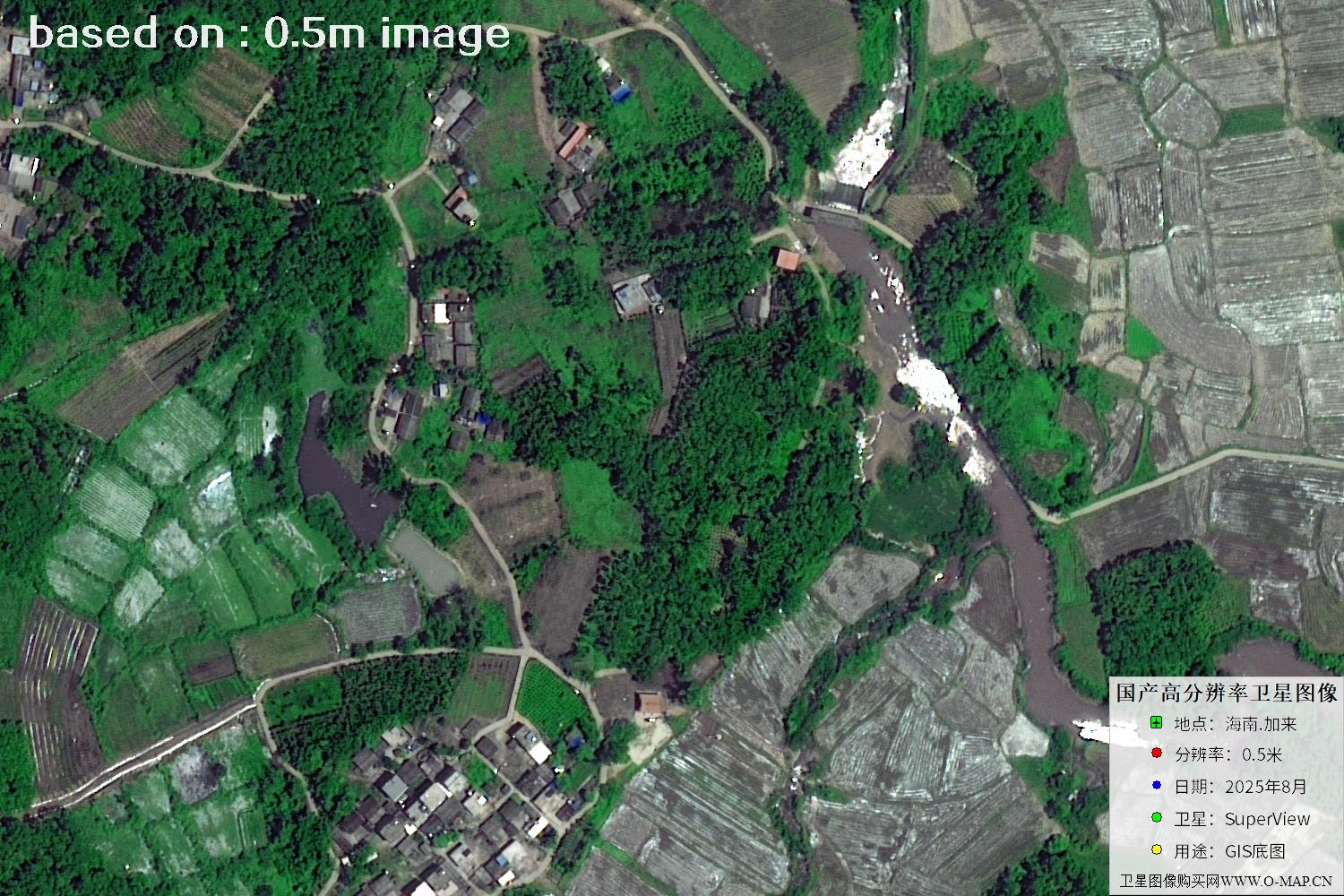
Fig. 40 — Latest 2025 0.5m satellite image of Jialai, Hainan (scene 40 of 47)
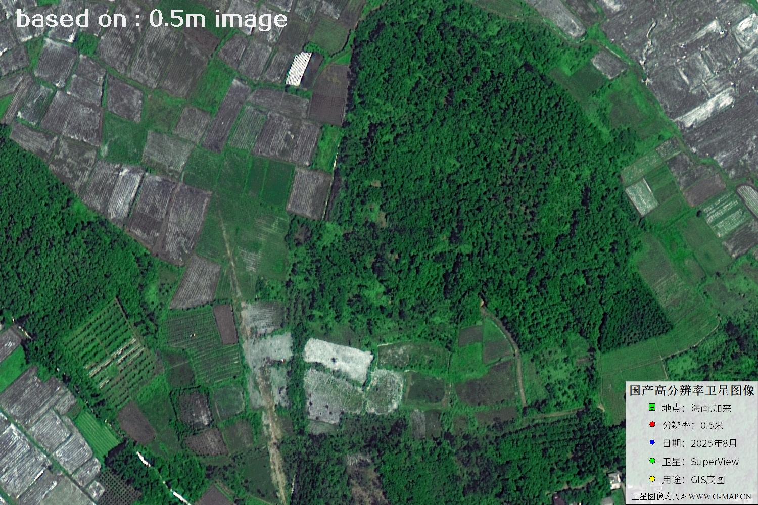
Fig. 41 — Latest 2025 0.5m satellite image of Jialai, Hainan (scene 41 of 47)
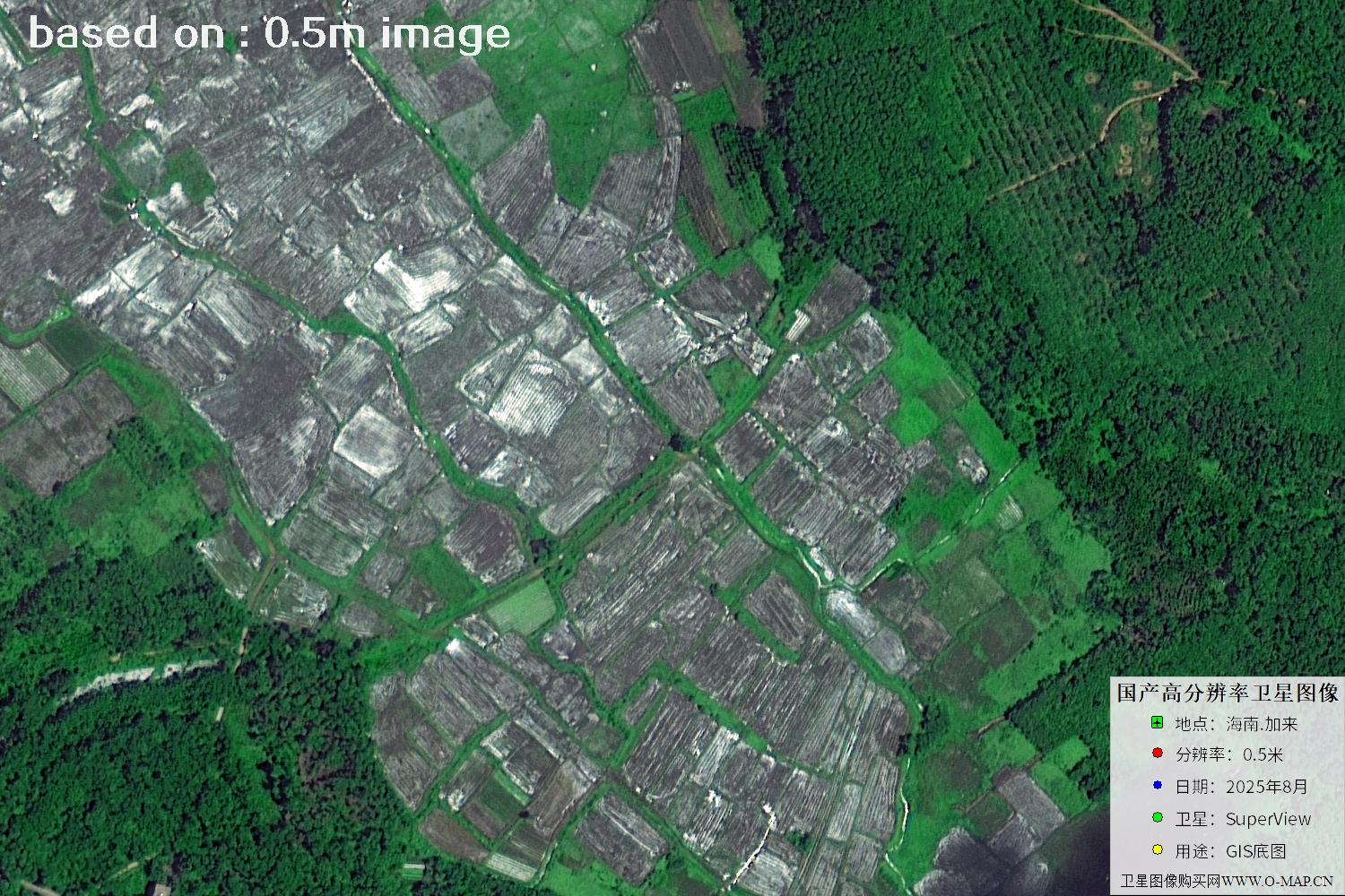
Fig. 42 — Latest 2025 0.5m satellite image of Jialai, Hainan (scene 42 of 47)
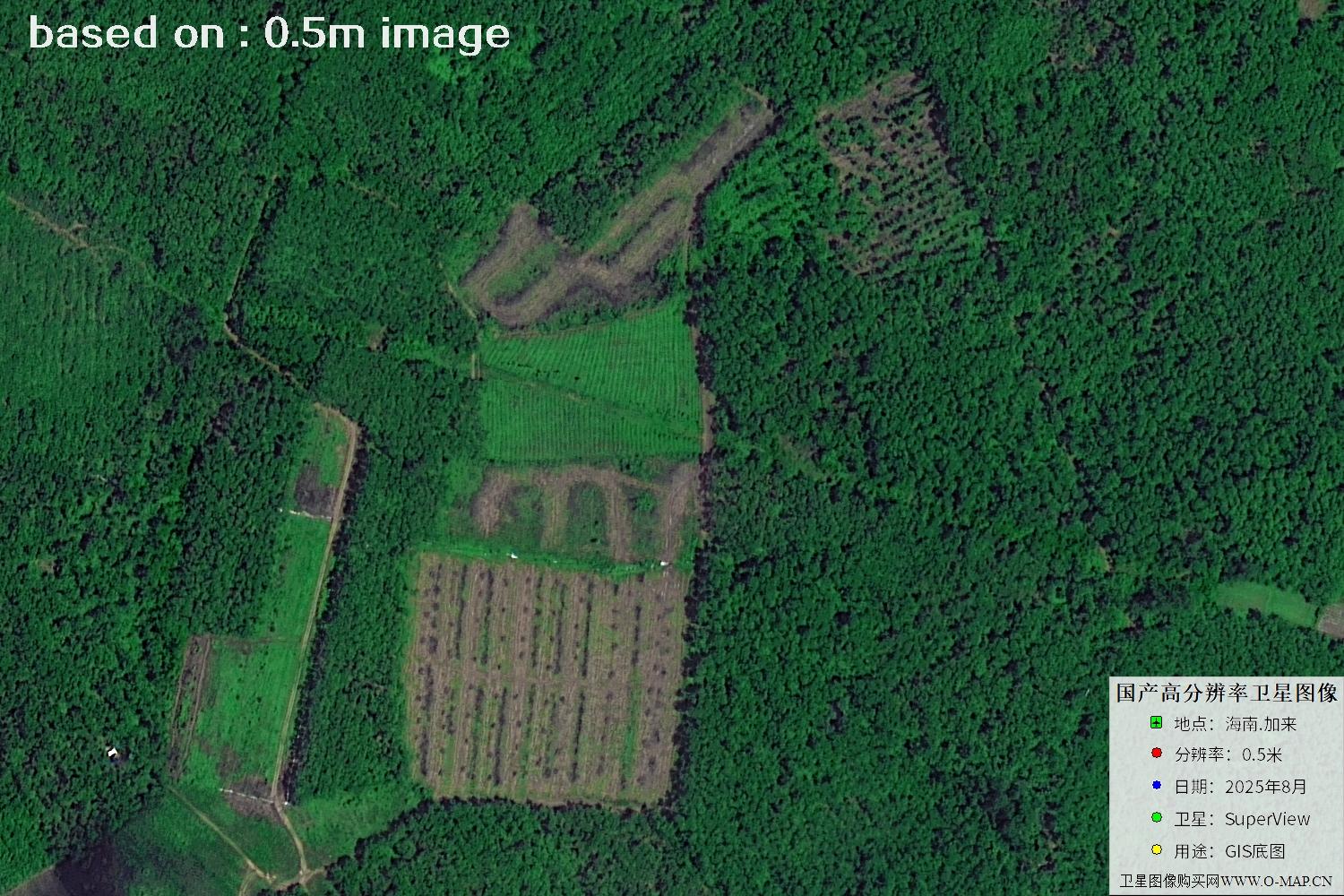
Fig. 43 — Latest 2025 0.5m satellite image of Jialai, Hainan (scene 43 of 47)
Fig. 44 — Hainan airport satellite image (detail view)
Fig. 45 — Hainan airport satellite image (detail view)
Fig. 46 — Hainan airport satellite image (detail view)
Fig. 47 — Hainan airport satellite image (detail view)
🛒 Buy SuperView Satellite Imagery Now
Disclaimer: this is an original article. Reproduction without permission is prohibited; violators will be held liable. Original articles shall not be reproduced.