QuickBird Satellite Imagery of Harbin, Heilongjiang, in Winter 2003
Look back at the Ice City from space and rediscover the details of its historical landscape.
Looking Back at Harbin in 2003
Harbin, the capital of Heilongjiang Province in northeastern China, lies in the southern part of the province and grew along the Songhua River. Its distinctive urban neighborhoods are surrounded by extensive farmland, woodland and mountainous terrain. In winter, ice and snow give the landscape a striking seasonal character. In 2003, urban construction and industrial development were steadily advancing, while the city and its surrounding rural communities displayed contrasting spatial patterns. Satellite imagery from that year offers an overhead view of mountain roads, woodland boundaries and the distribution of settlements. Comparisons with imagery from other years can also provide visual clues to changes in land use and the wider region.
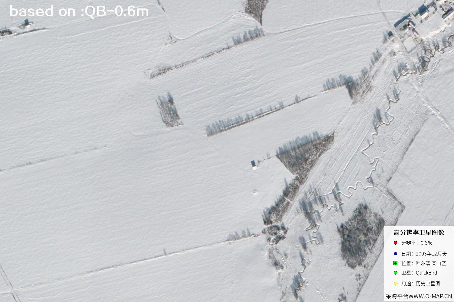
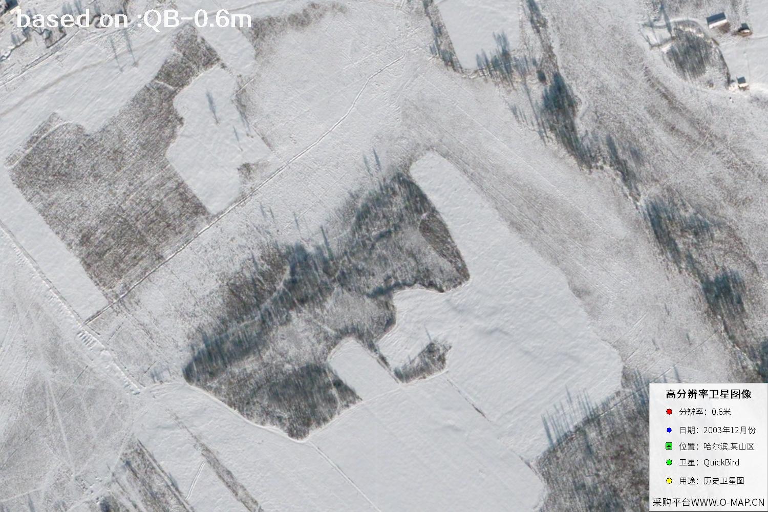
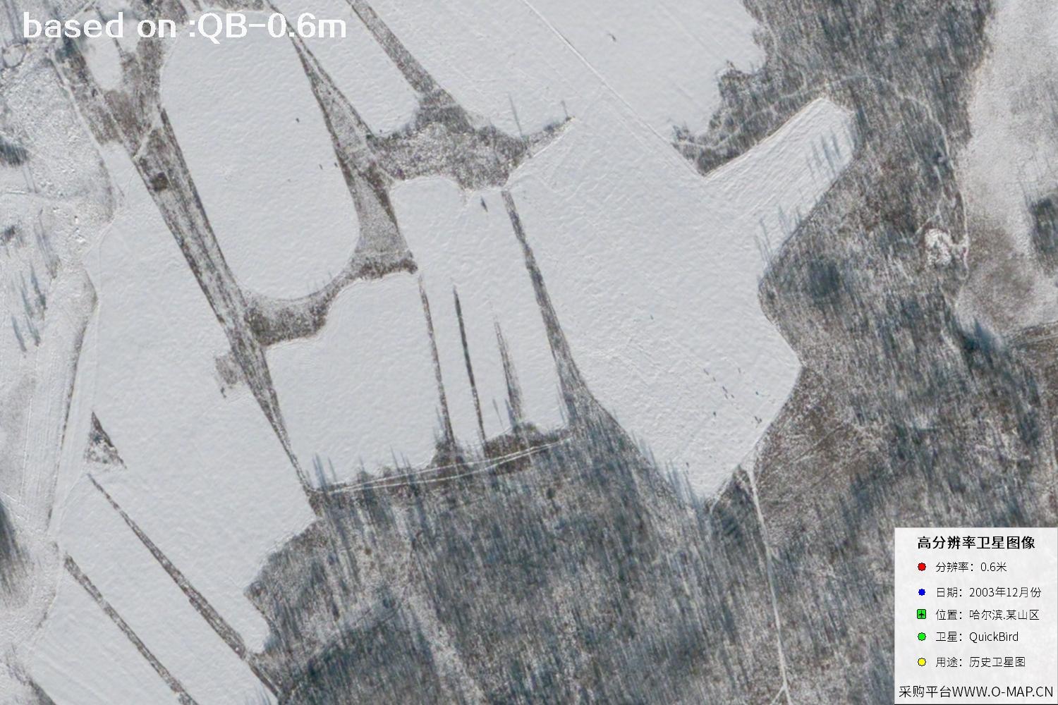
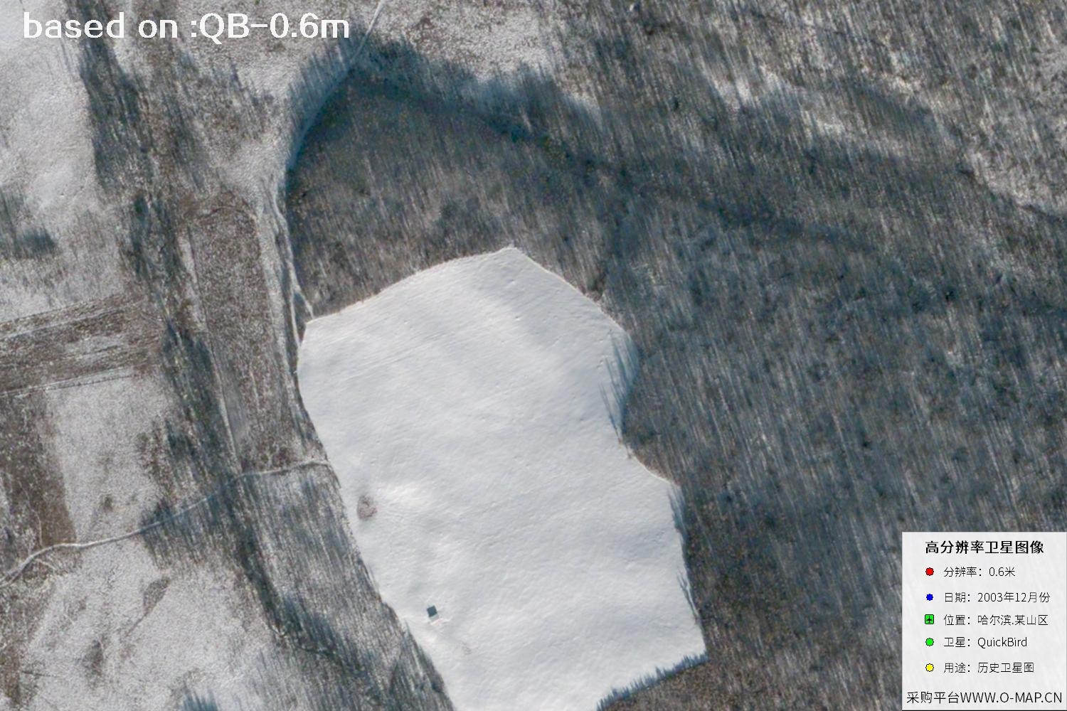
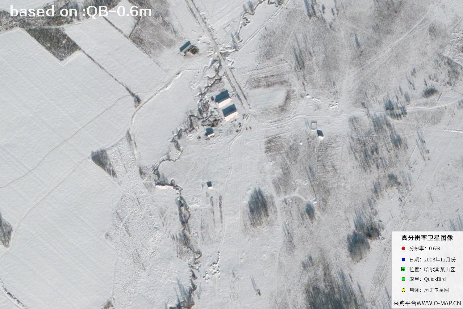
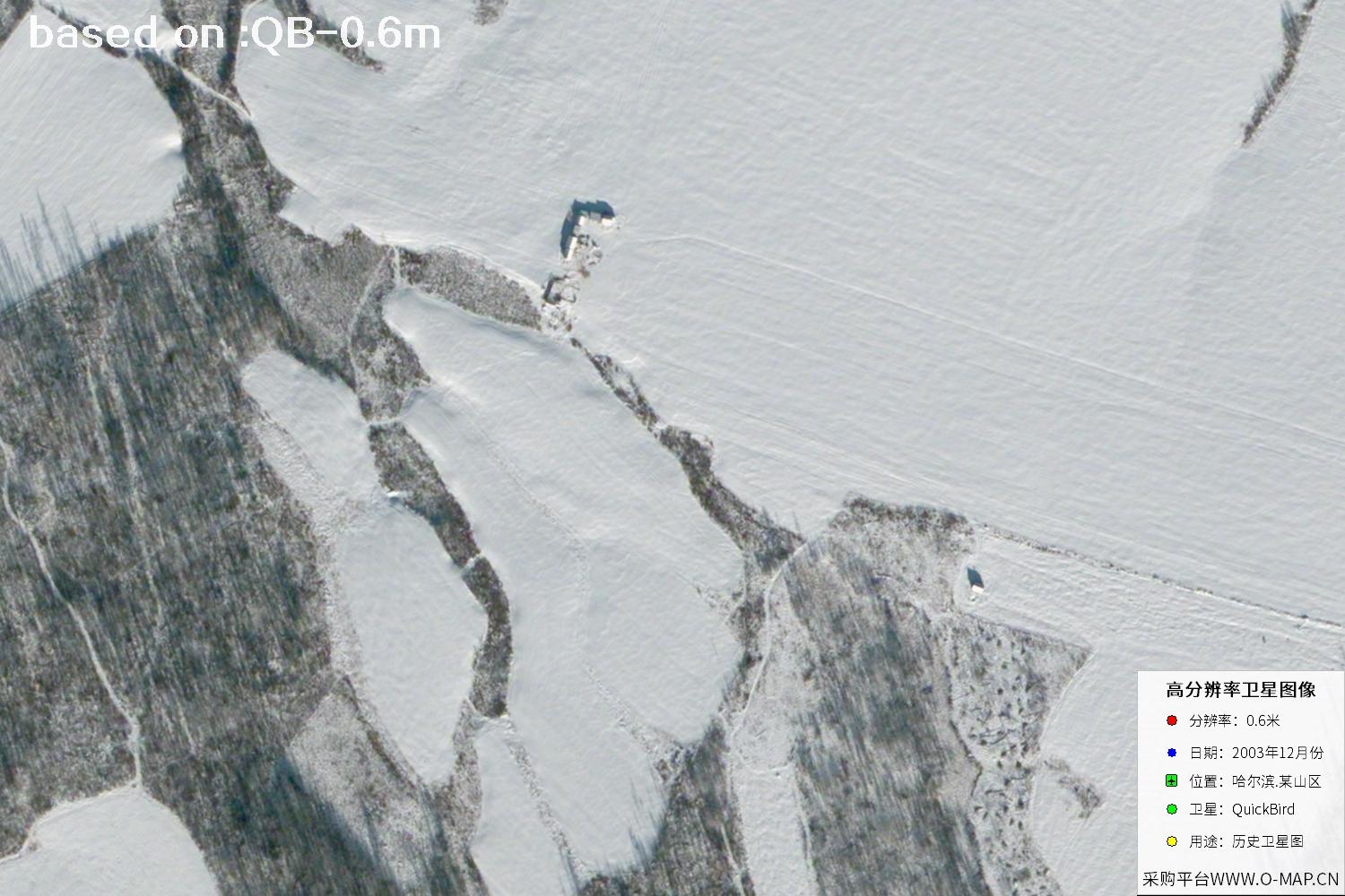
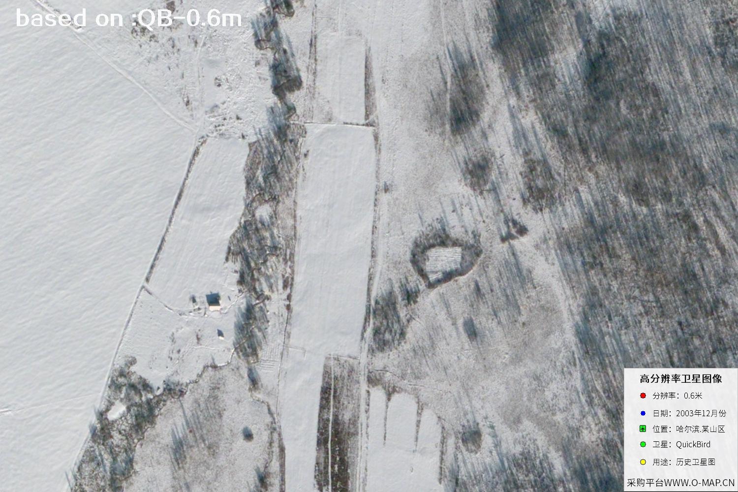
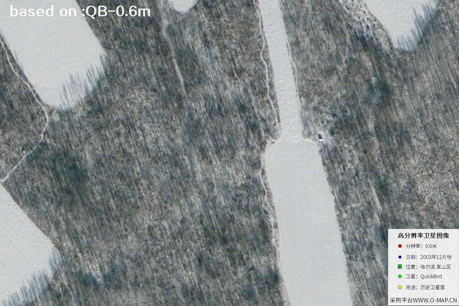
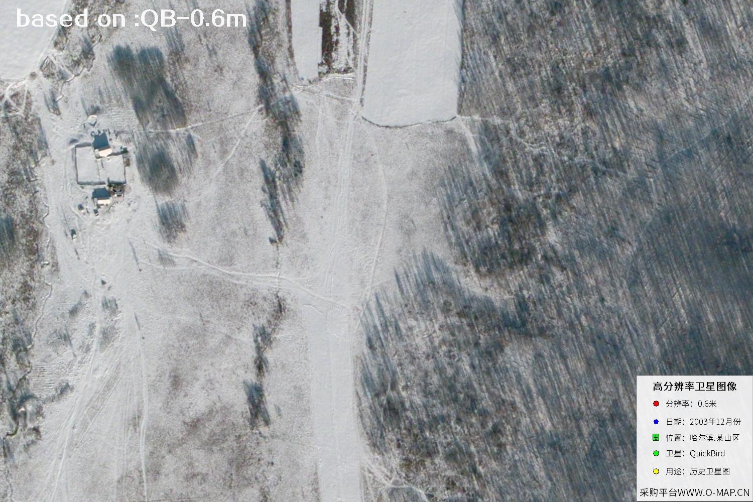
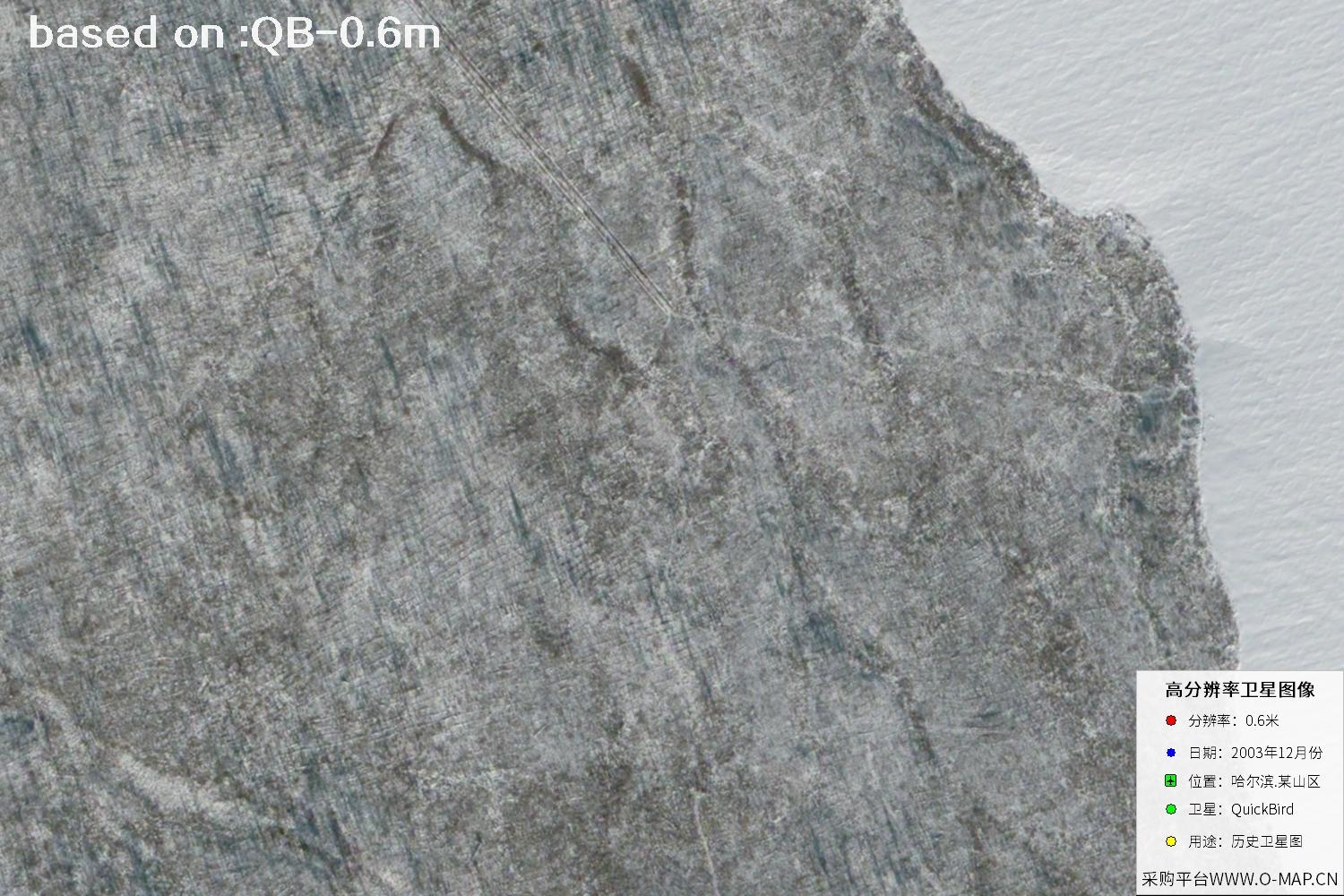
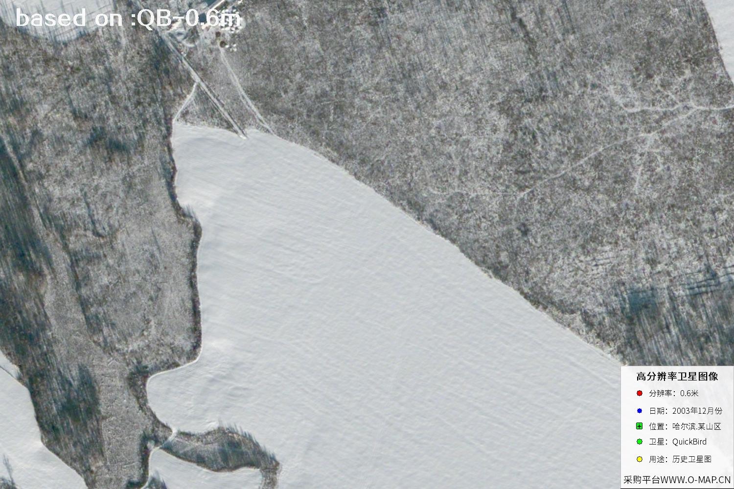
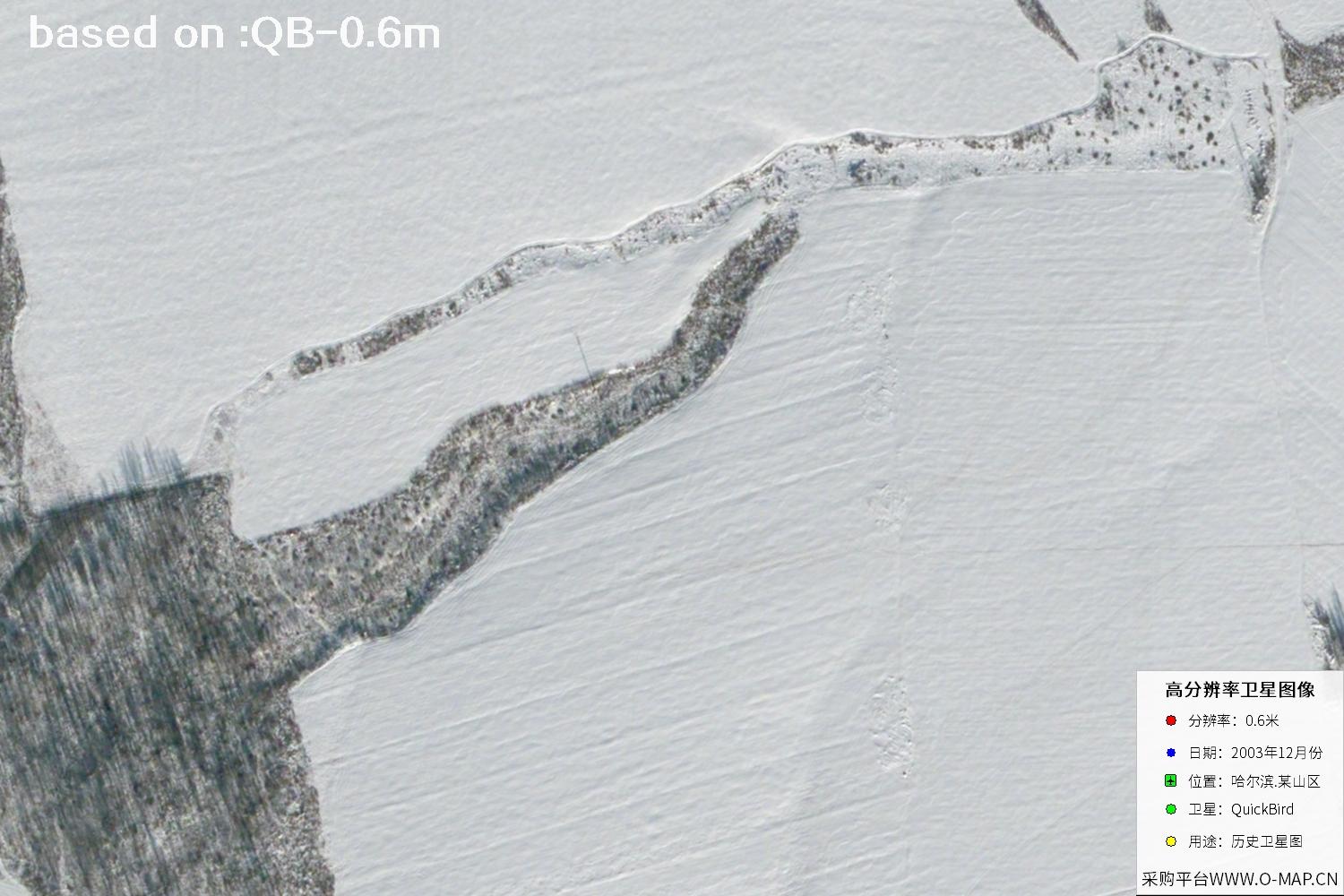
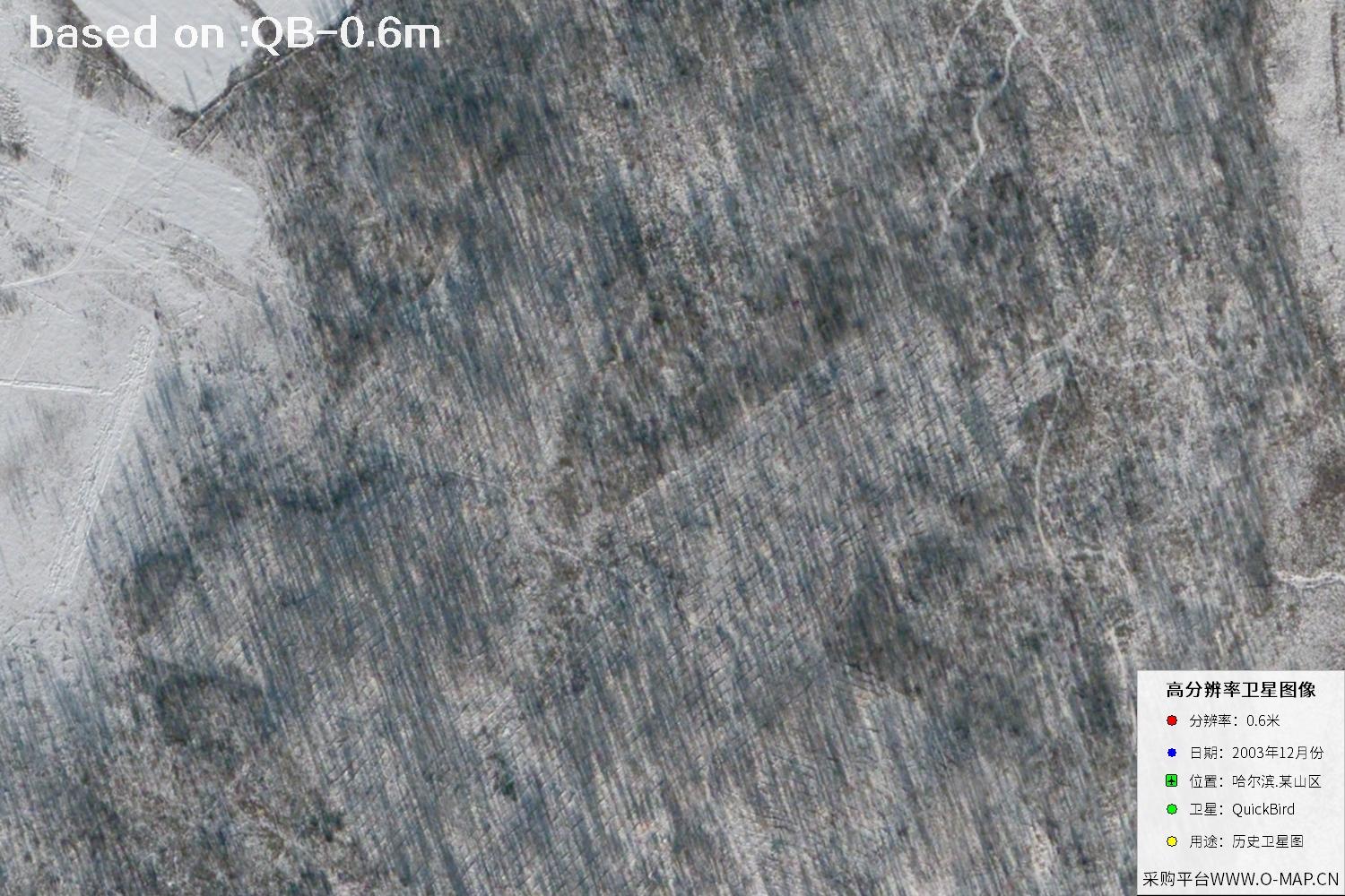
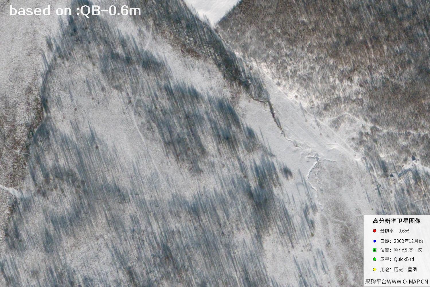
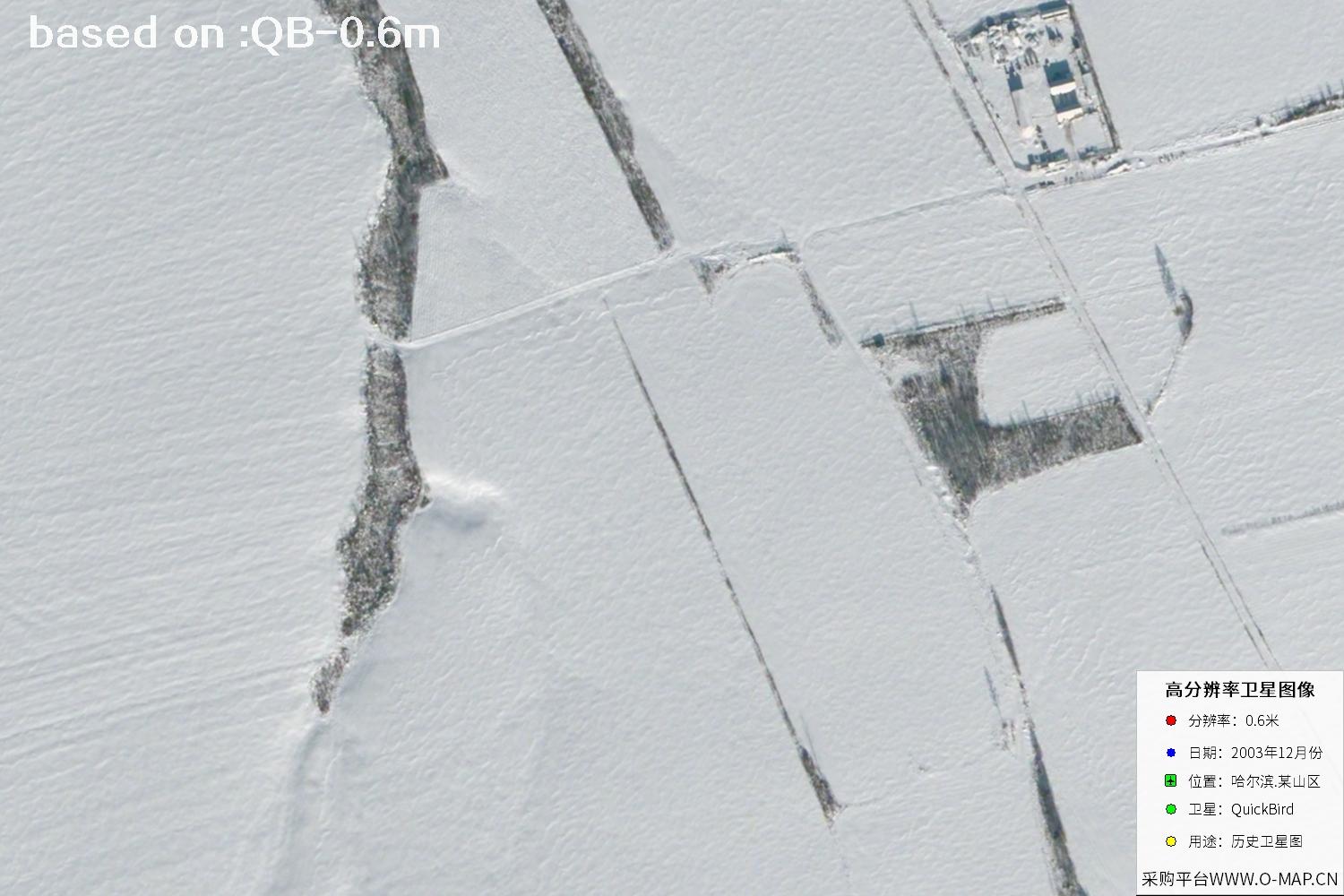
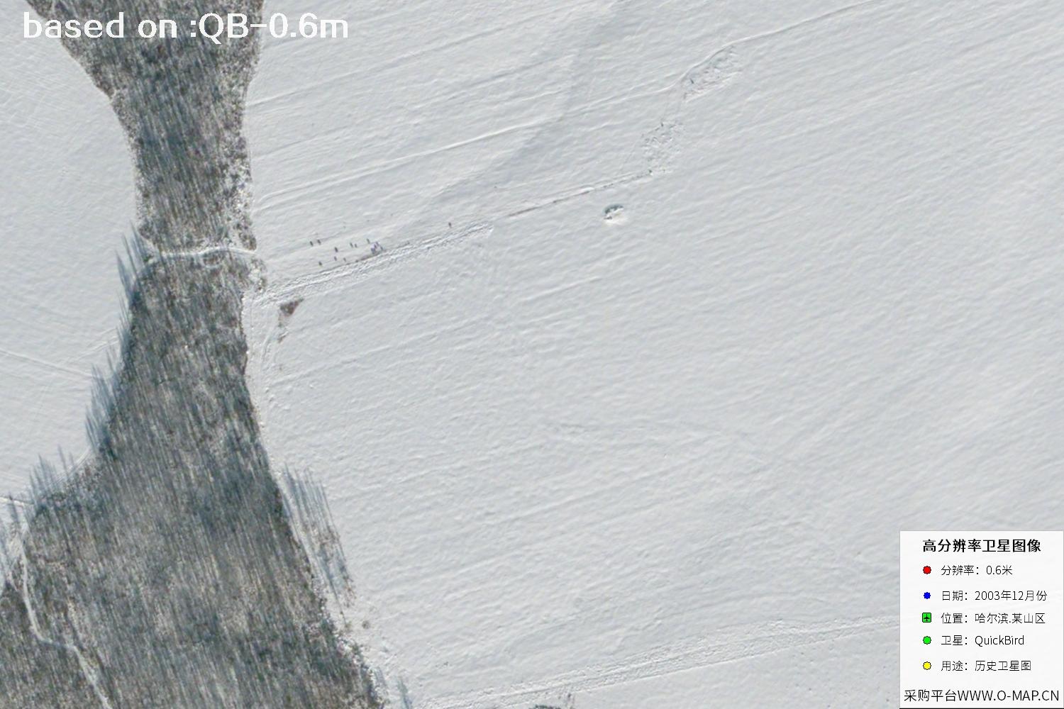
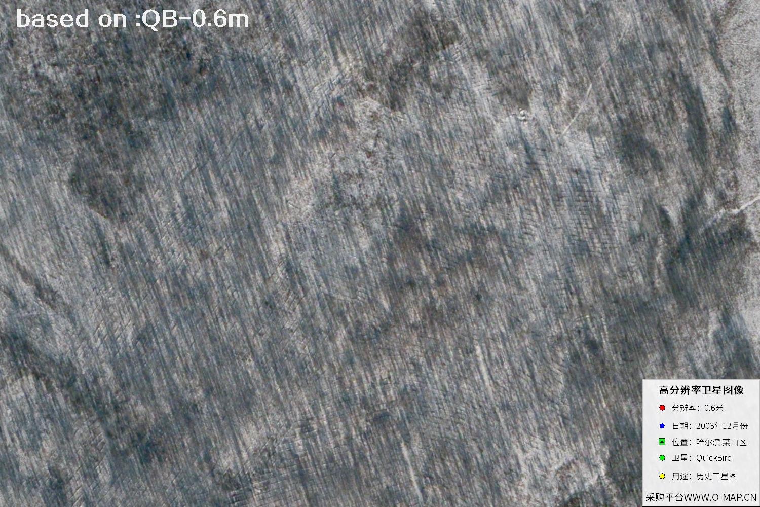
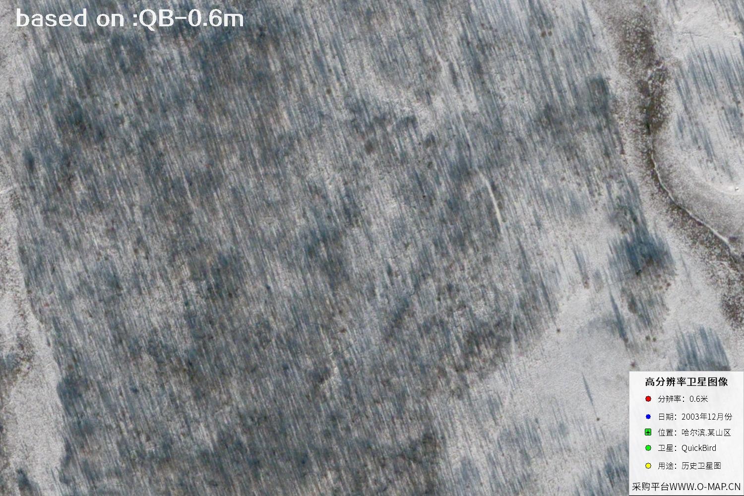
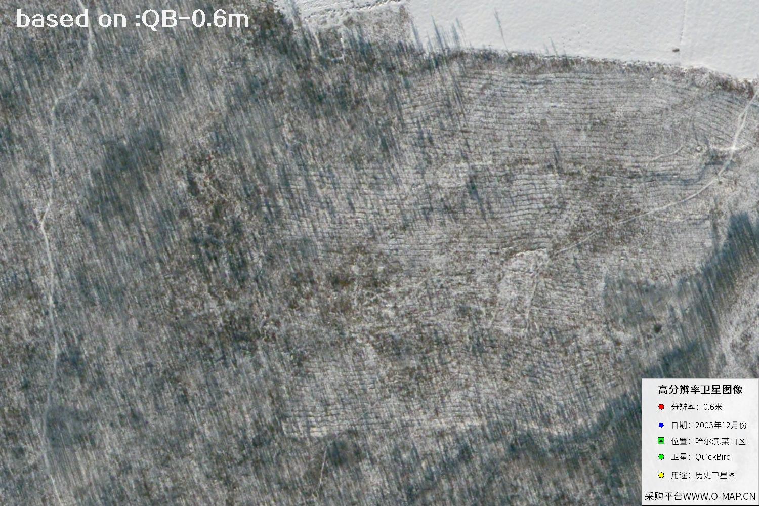
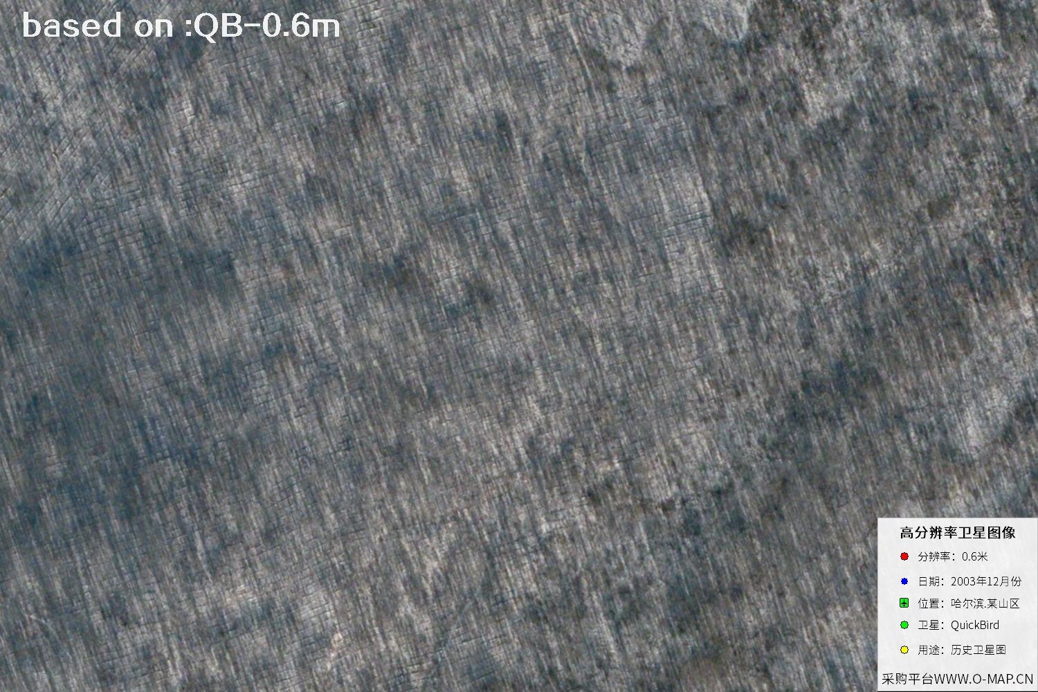
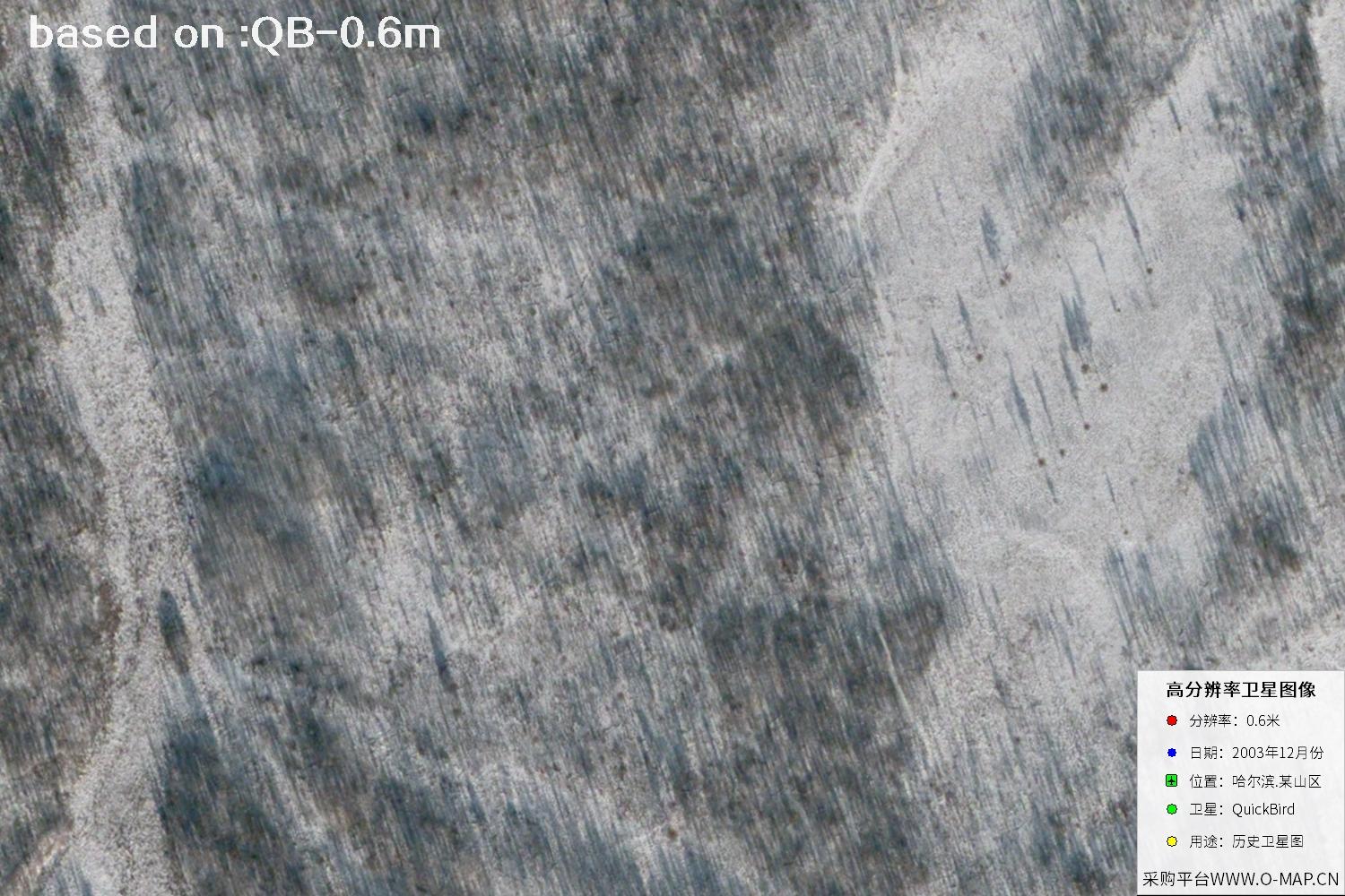
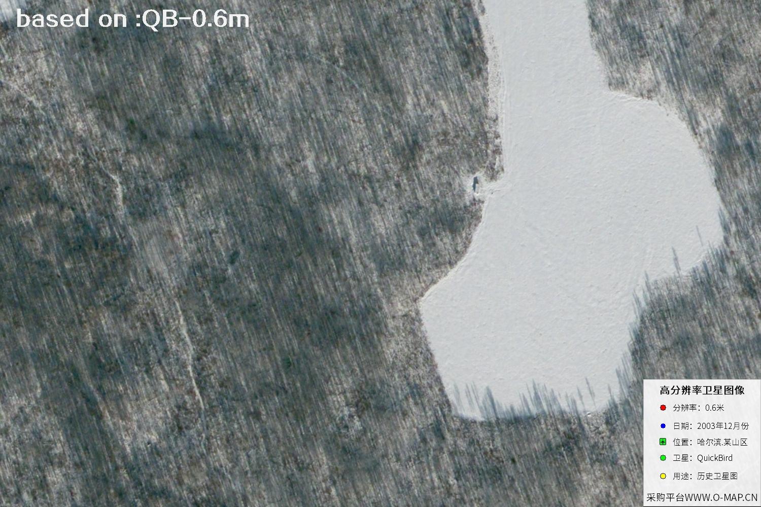
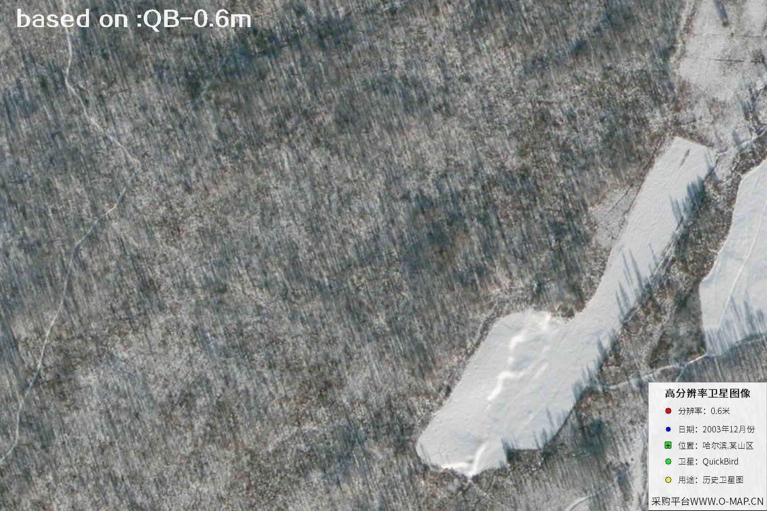
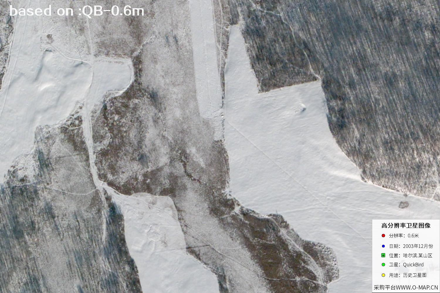
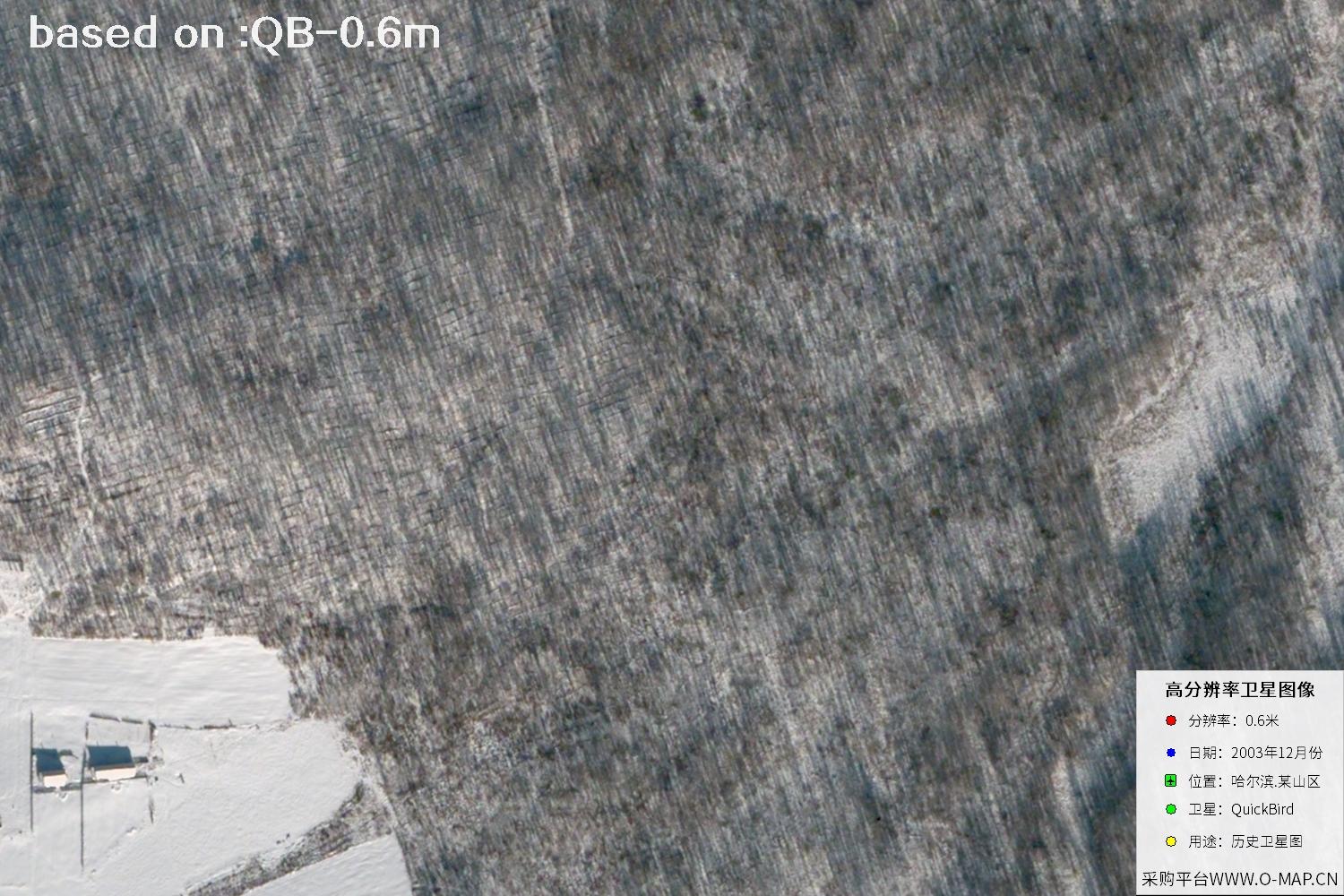
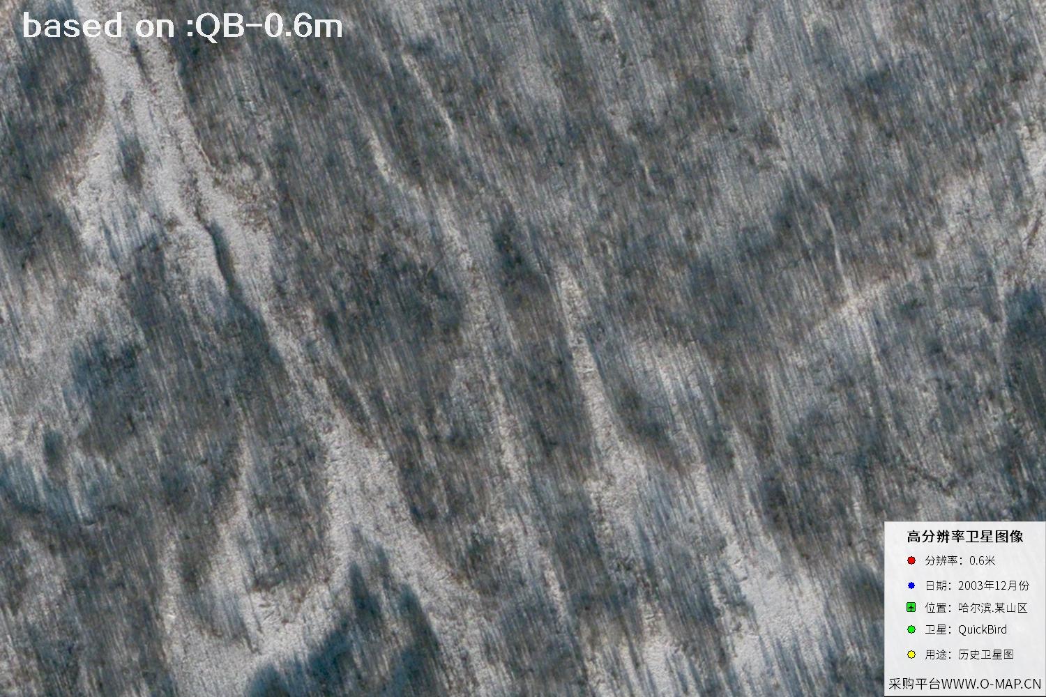
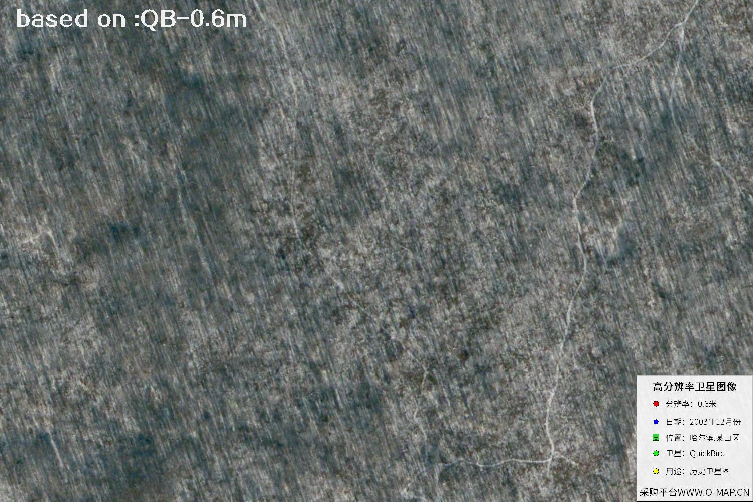
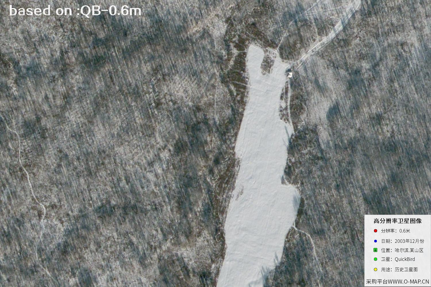
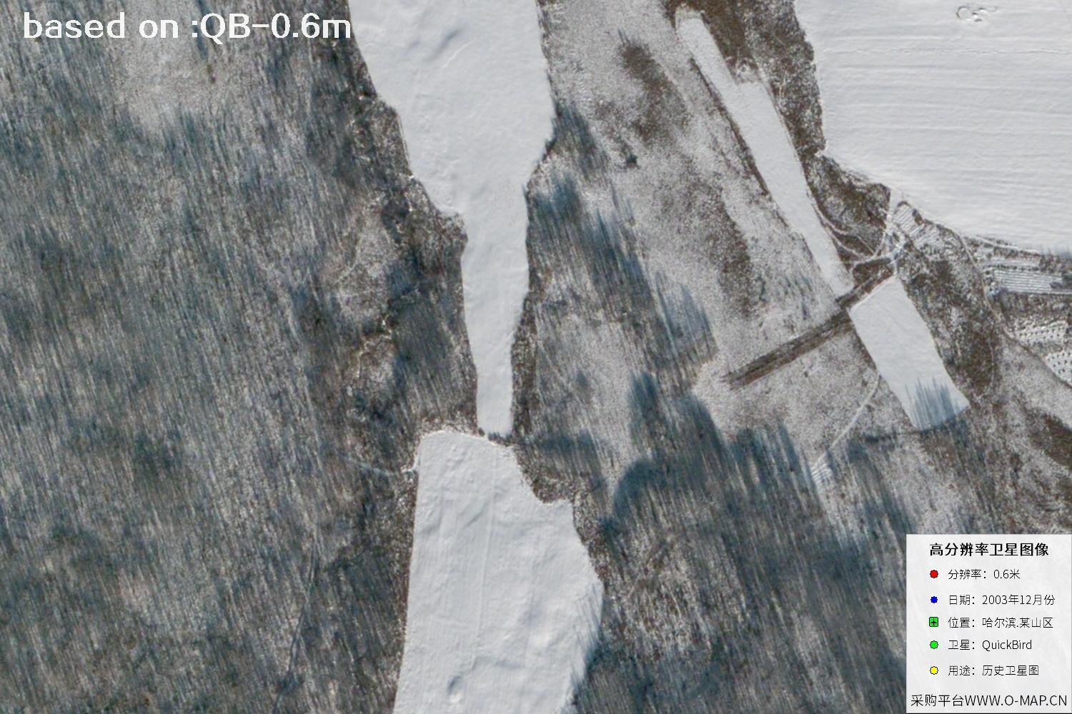
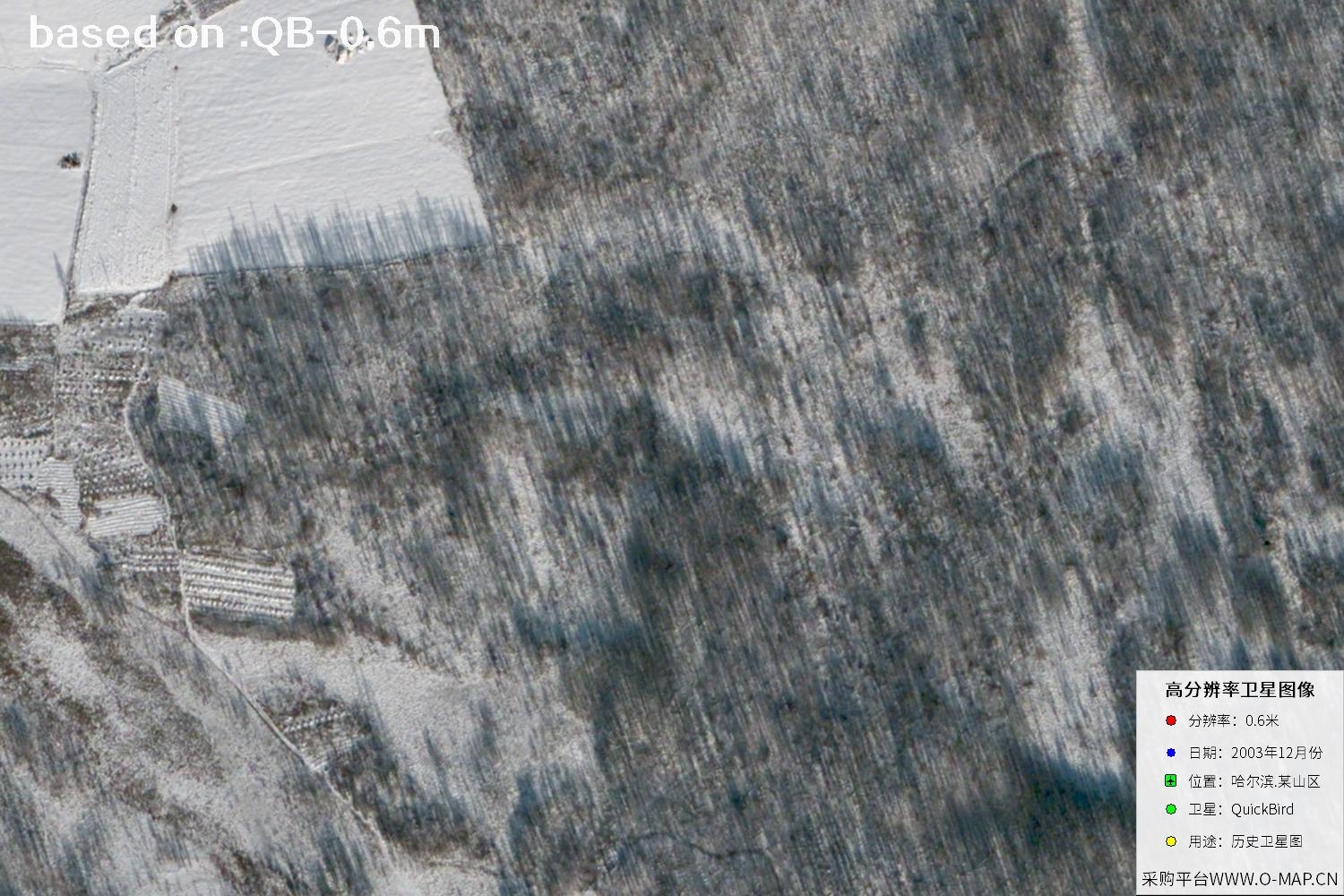
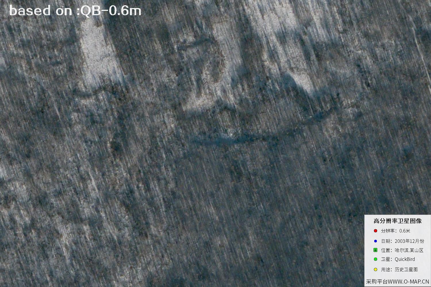
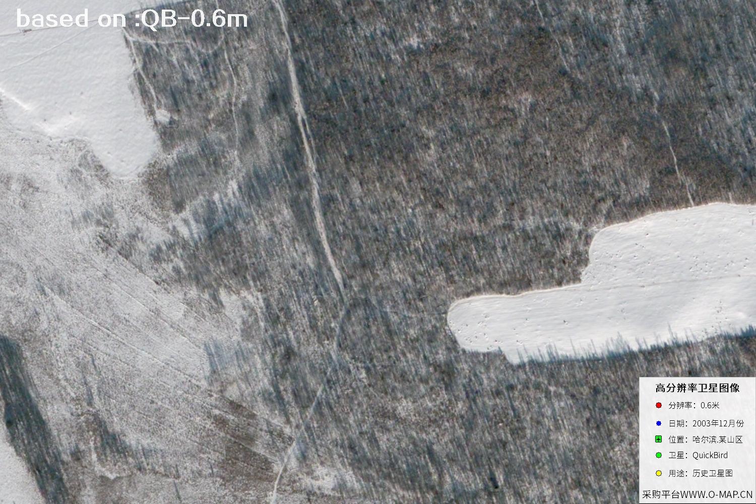
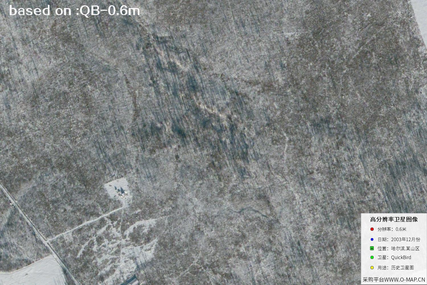
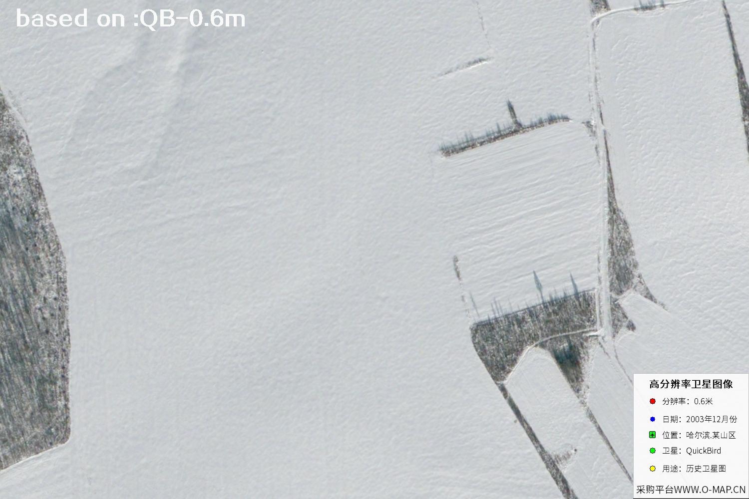
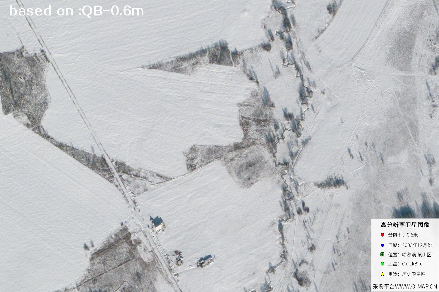
The following images show a mountainous area of Harbin captured by the QuickBird satellite in December 2003, with a stated resolution of 0.6 meters.
QuickBird was a commercial high-resolution Earth observation satellite. This page focuses on QuickBird-2, successfully launched in 2001 and operated by DigitalGlobe. It acquired panchromatic and multispectral imagery that was widely used for mapping, urban planning, land-use surveys and environmental research. The satellite reentered the atmosphere in 2015 after its mission ended. Related services now primarily focus on historical archive imagery.
The sample images on this page are labeled as having a resolution of 0.6 meters based on the supplied information. Resolution has different meanings for pansharpened color products and original multispectral data. For specific product specifications, refer to the imagery metadata and delivery documentation.
| Satellite | QuickBird-2 |
|---|---|
| Panchromatic Resolution | Approx. 0.61 m (early nominal nadir resolution) |
| Launch Date | October 18, 2001 |
| Multispectral Resolution | Approx. 2.44 m (early nominal nadir resolution) |
| Spectral Bands | One panchromatic band; four multispectral bands: blue, green, red and near-infrared |
| Orbit Type | Sun-synchronous orbit |
| Early Orbit Altitude | Approx. 450 km |
| Typical Swath Width | Approx. 16.5 km at nadir |
| Radiometric Quantization | 11 bit |
| Launch Vehicle and Site | Delta II launch vehicle, Vandenberg Air Force Base, USA |
| Mission Status | Retired; historical archive imagery remains available for reference |
Actual ground resolution depends on orbital altitude, viewing angle and processing methods. Not every image reveals ground details in exactly the same way.
QuickBird Satellite Imagery of Harbin, 2003
Total: 35 imagesClick the central ⛶ icon to open an image in the full-screen viewer. Browse the previous or next image, or play a slideshow of all images.
Identifying Features in Satellite Imagery
Select a feature category to explore identification guidance for different ground objects.