
Business Update: Beijing OMap Completes QuickBird (KuaiNiao) Satellite Imagery Production for Daxing District, Beijing, China
🛰️ QuickBird (KuaiNiao) Satellite
【QuickBird】 was a high-resolution commercial remote-sensing satellite operated by DigitalGlobe (now Maxar Technologies, USA) and launched on 18 October 2001. It carried advanced optical imaging equipment delivering up to 0.61 m panchromatic and 2.44 m multispectral imagery. Widely used for mapping, urban planning and agricultural monitoring, QuickBird became a milestone in commercial remote sensing with its high accuracy and wide coverage, and was retired in 2015.

0.6 m class
production task
0.6 m imagery
pay when satisfied
🔍 Free archive search
+ samples
🖼️ Check date & clarity
& price
💳 Pay for imagery
when satisfied
📦 Production &
delivery
✔ Sub-meter panchromatic detail supports mapping, urban planning and change monitoring at building level.
Satellite Imagery Purchase Samples
💡 Gallery shows the first 15 of 30 sample images (3 per row × 5 rows). Click any image to enlarge; use ← → arrow keys or on-screen buttons for slideshow. Press Esc or ✕ to close. Original caption style preserved below.
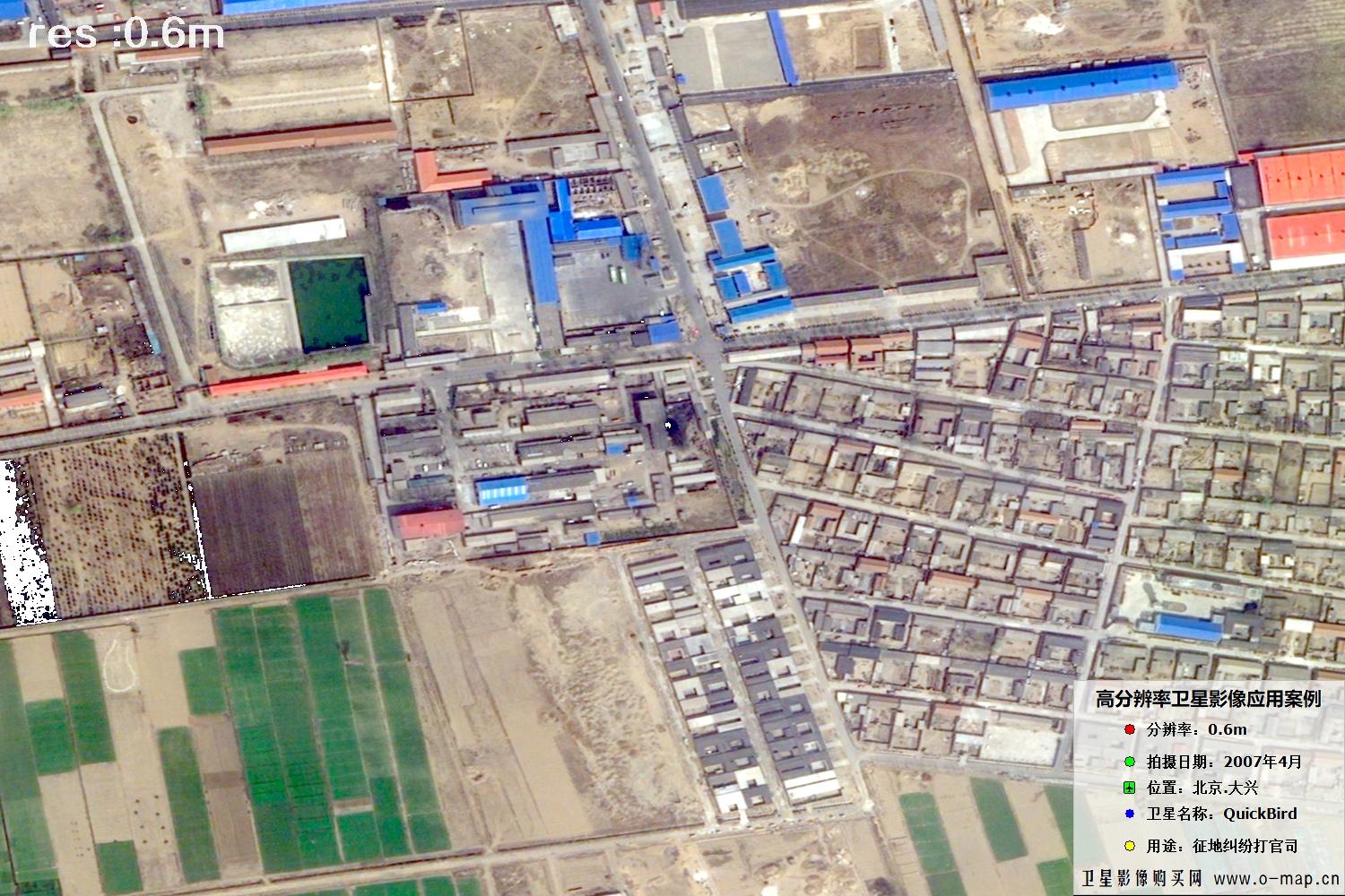 🔍 click
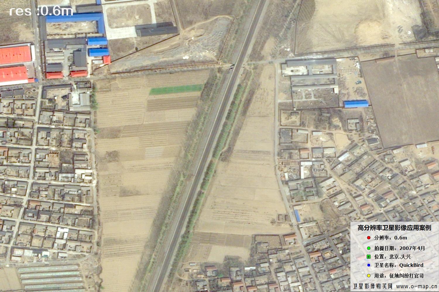 🔍 click
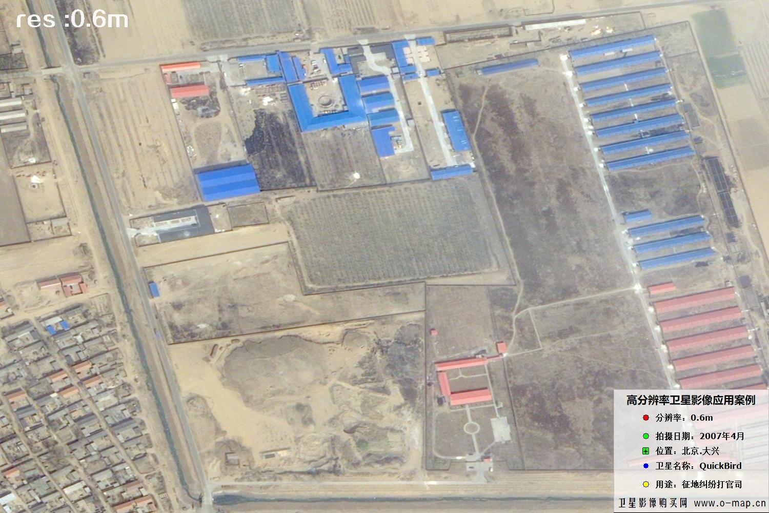 🔍 click
 🔍 click
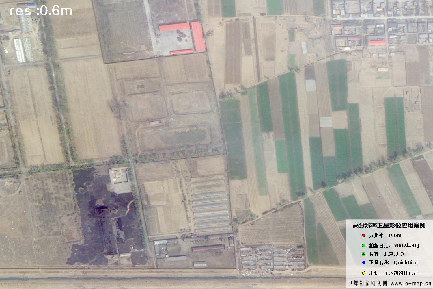 🔍 click
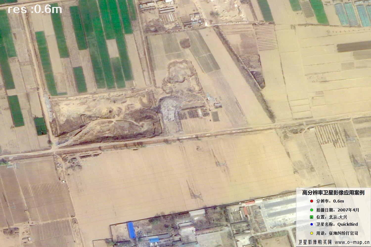 🔍 click
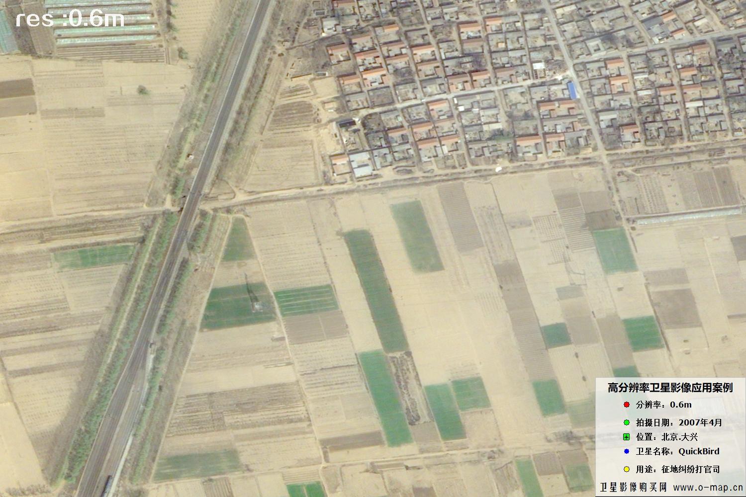 🔍 click
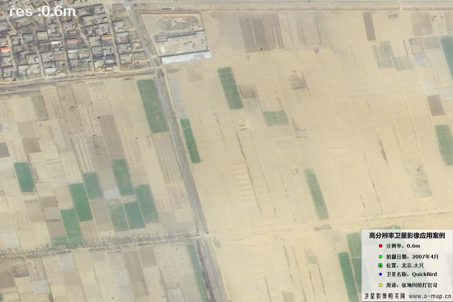 🔍 click
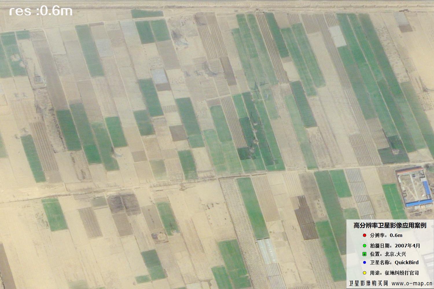 🔍 click
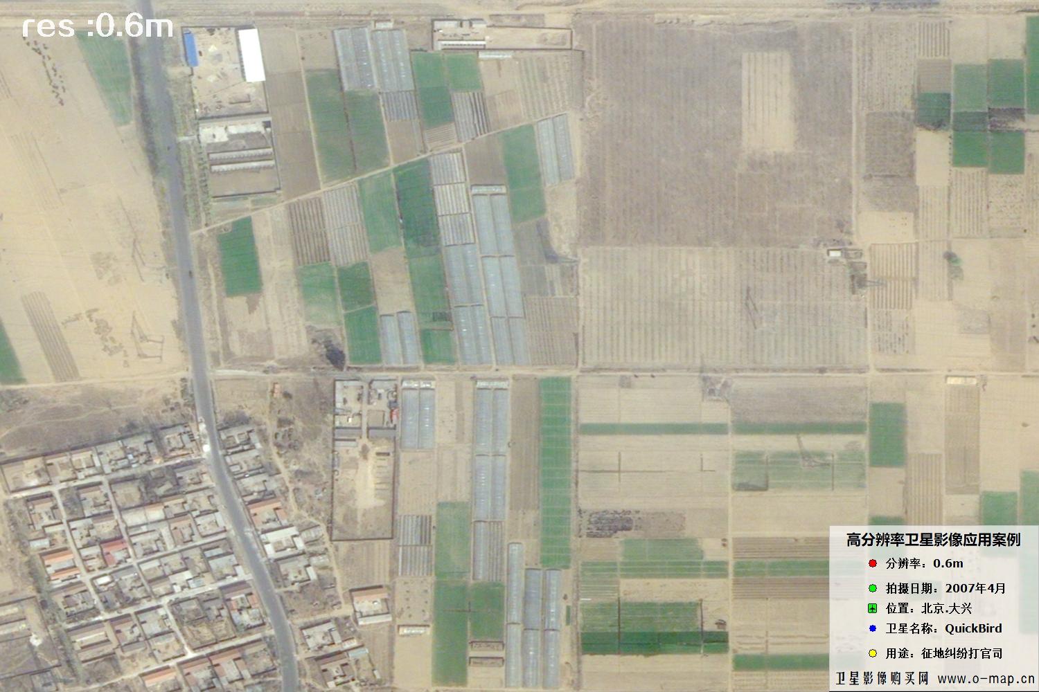 🔍 click
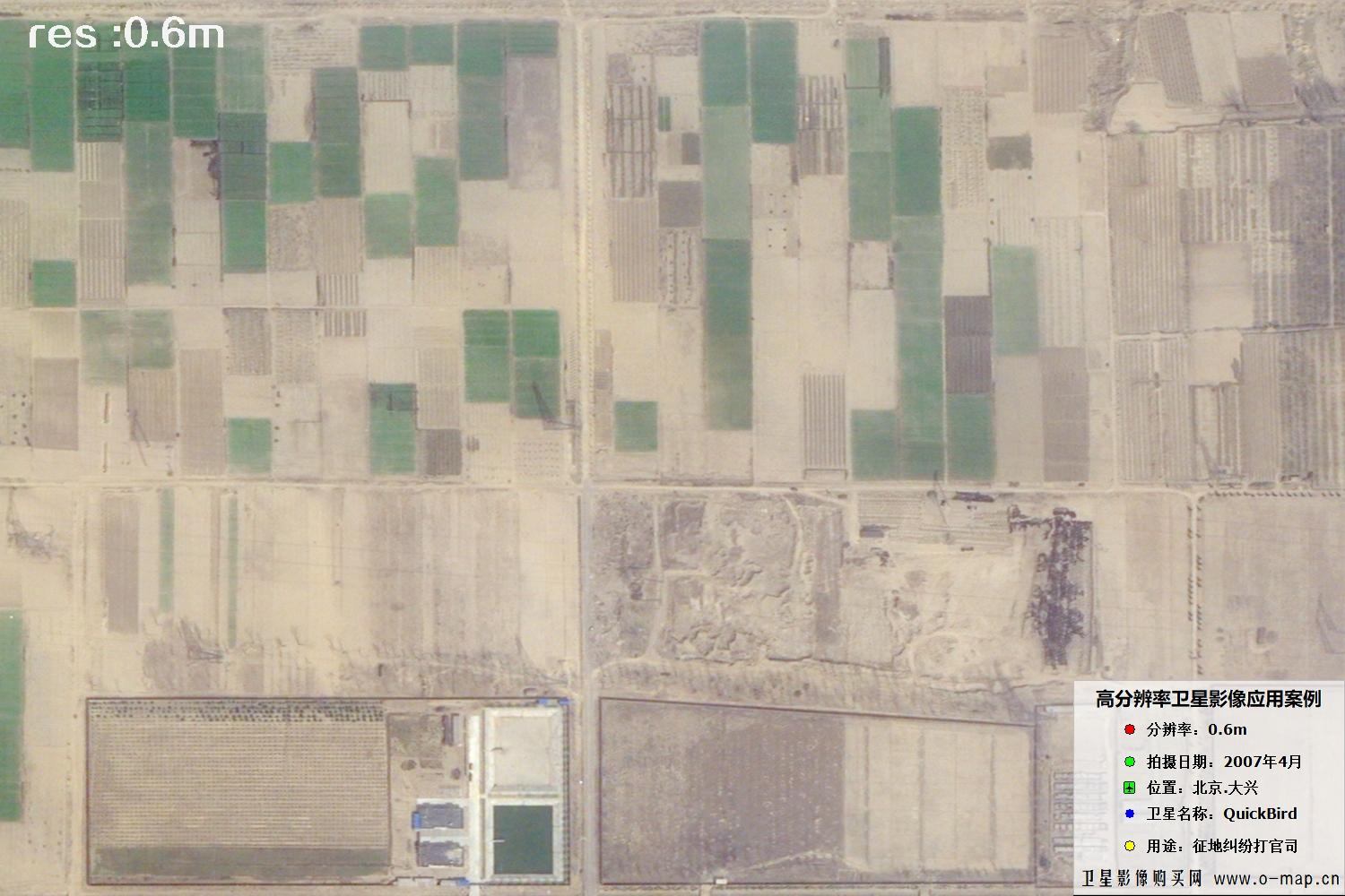 🔍 click
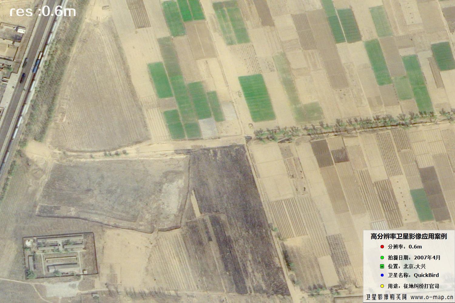 🔍 click
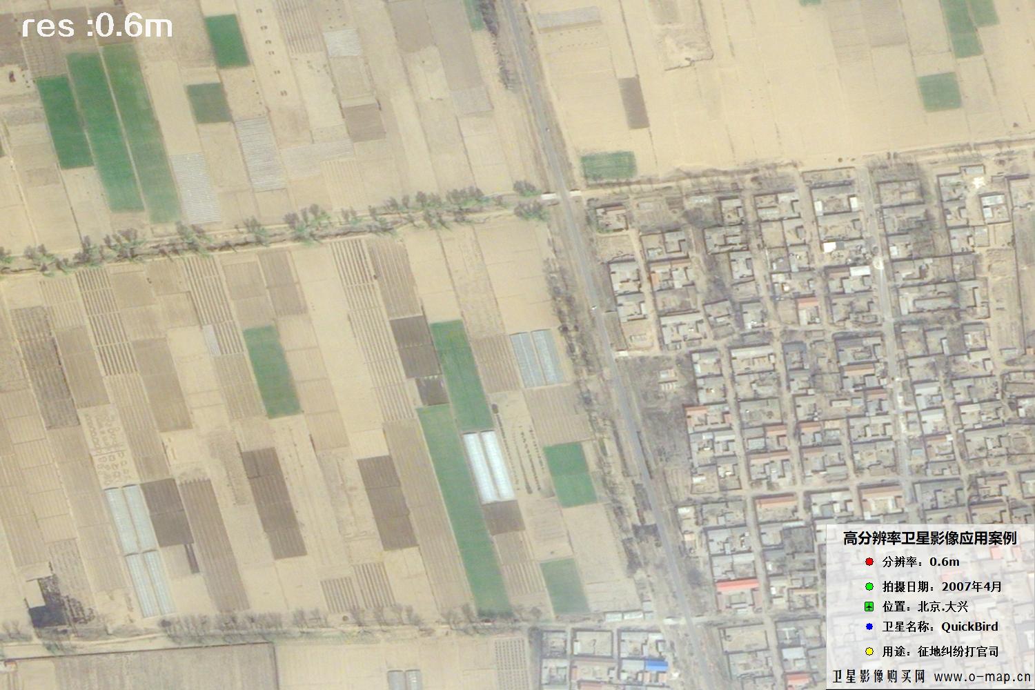 🔍 click
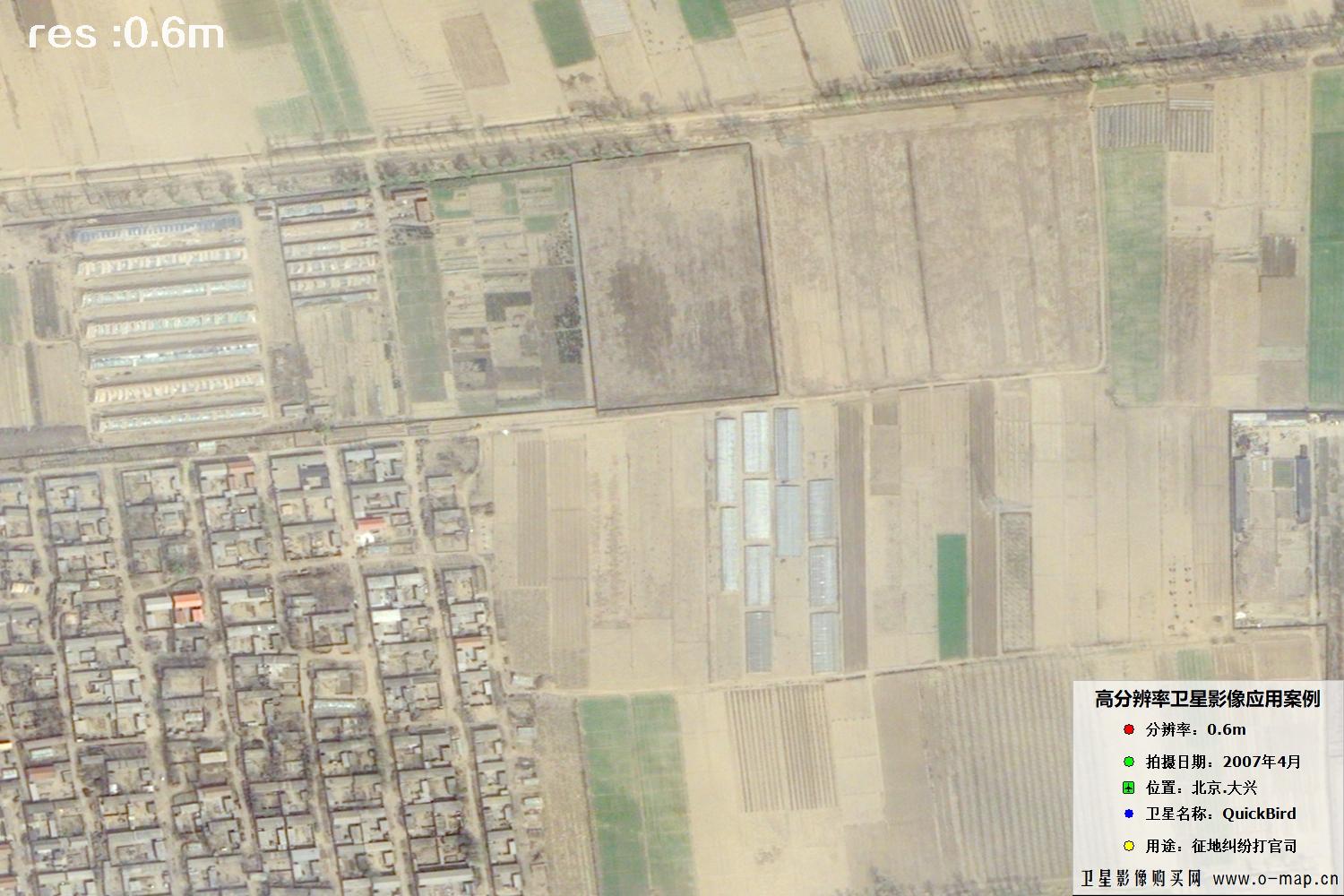 🔍 click
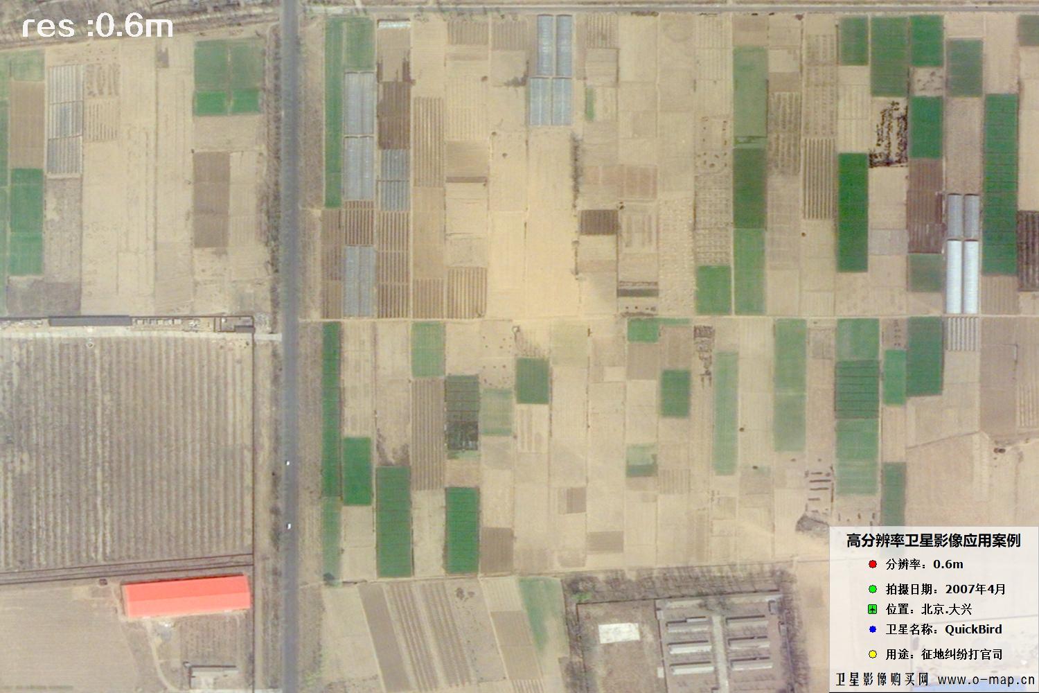 🔍 click
Buy QuickBird Satellite Imagery Now
🏢 About Beijing OMap Geographic Information Technology Co., Ltd.
Beijing OMap Geographic Information Technology Co., Ltd. (“Beijing OMap”) is a well-known satellite map service provider in China, headquartered in Chaoyang District, Beijing. OMap mainly provides 1–3 m resolution Chinese remote-sensing imagery data, including historical image maps taken from the 1960s to the 1980s, as well as Chinese Gaofen (High-Resolution) series satellite imagery captured after 2015.
Satellite imagery is licensed by area (scene). Chinese satellite image maps typically cost 1–30 yuan per km², with an average price of about 500–3,000 yuan per image. (Final price depends on area, resolution, acquisition date, product type and processing. For higher-resolution requirements, unit price is roughly 100–500 yuan/km². Please consult our staff for details.)
Satellite imagery is a special digital product: any individual, company or institution can purchase it with a formal procurement contract and invoice. Delivery is normally expected within 5–10 working days after purchase, with expedited service available as fast as the same day.
Value-added services: wall-map production, automatic map classification (forest / farmland / water / roads / buildings / open land), bare-soil monitoring, 3D white-model production, building detection and vector extraction, change detection (image or video), evidence-ready layout, place-name annotation, style beautification and HD super-resolution enhancement.
To inquire about or purchase satellite imagery, please contact our staff or leave a message online. Use Online Search to explore more satellite projects and samples.
©2021-2026 北京亿景图地理信息技术有限公司 版权所有.京ICP备2021039670号-1