 Sample
Tianjin QuickBird Satellite Image01 / 48
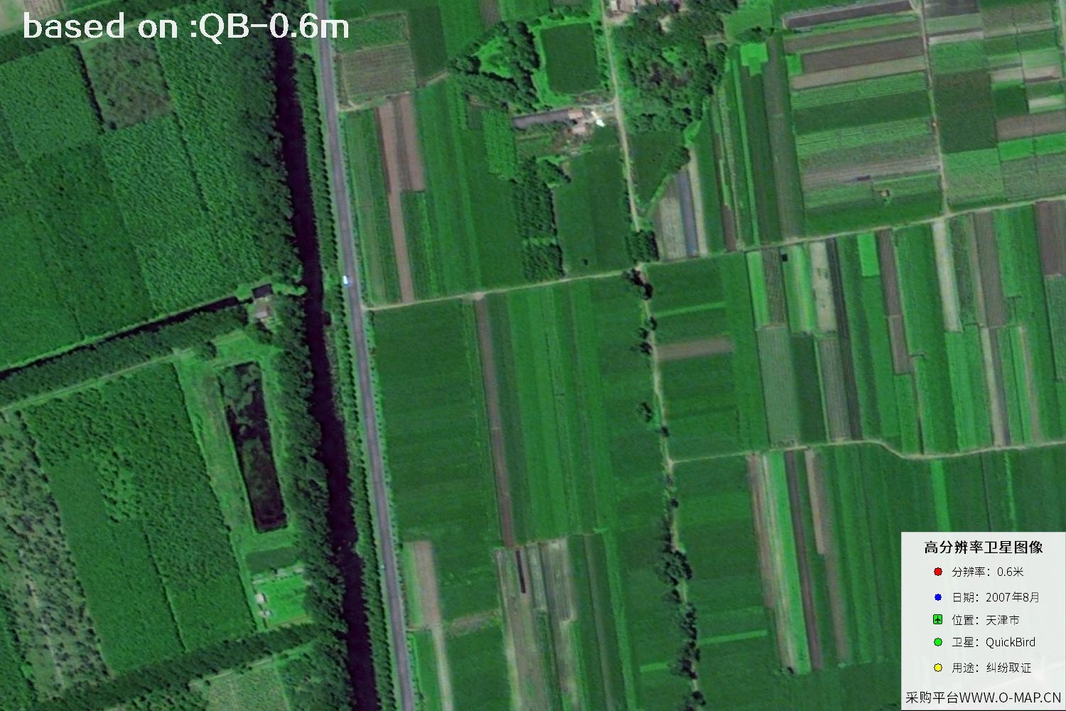
Step back to 2007 and explore Tianjin's urban fabric from a high-resolution satellite perspective. This page gathers key facts about the QuickBird imagery plus 48 sample images, ideal for historical browsing and change comparison.
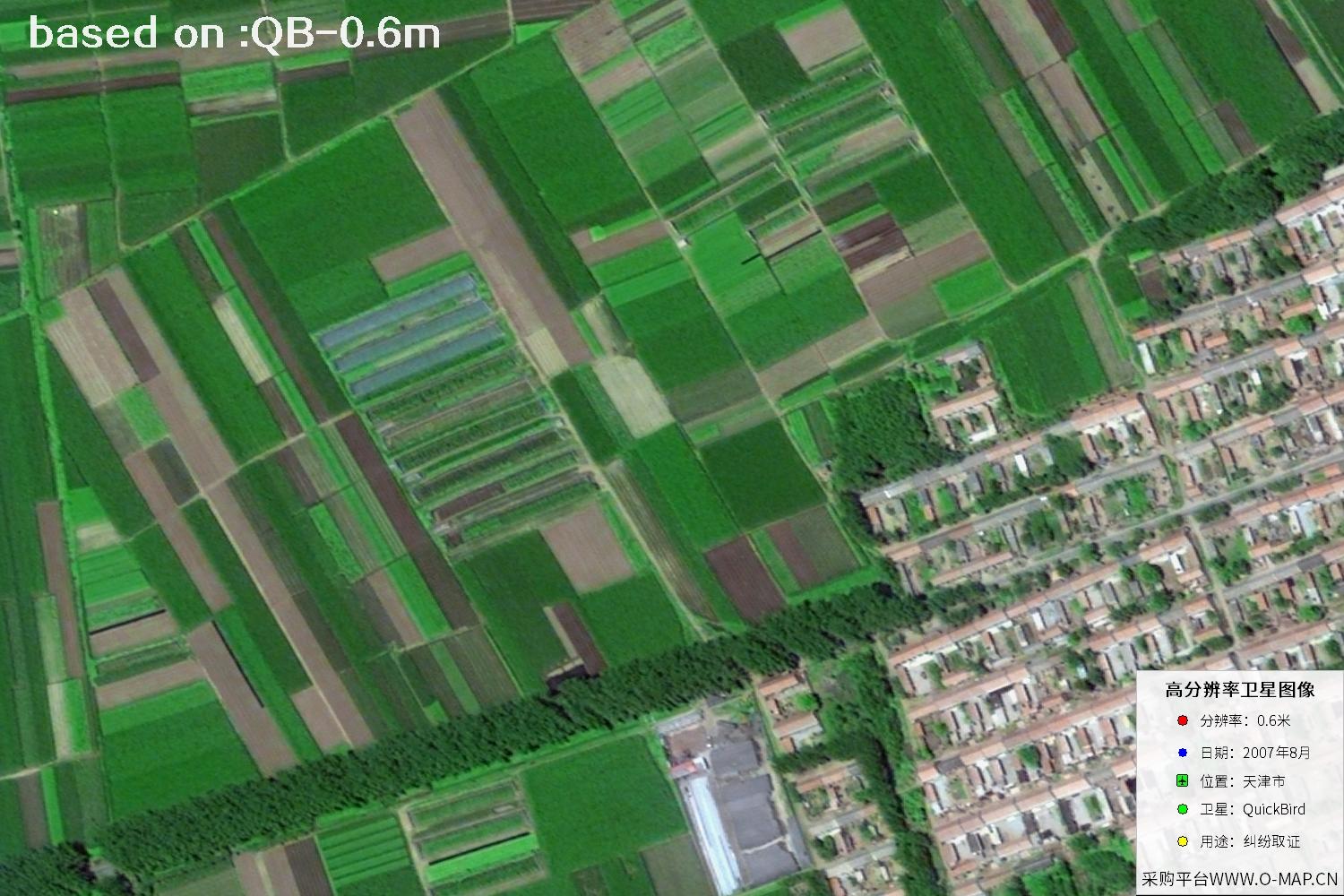
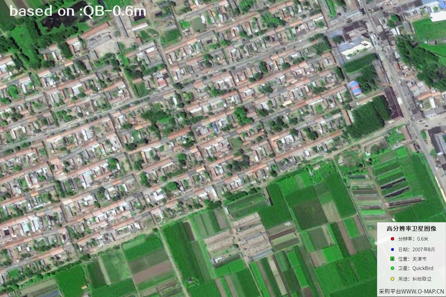
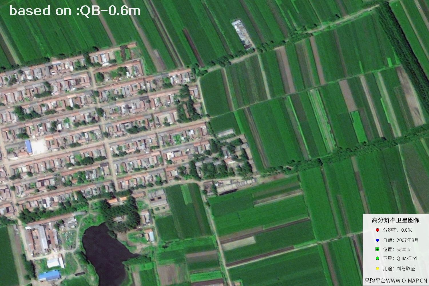
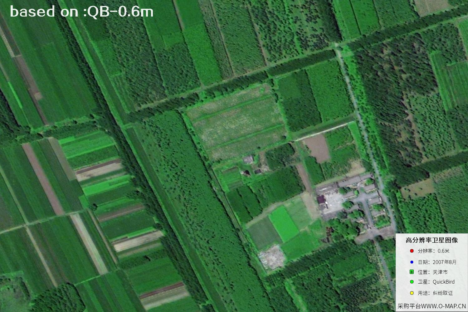
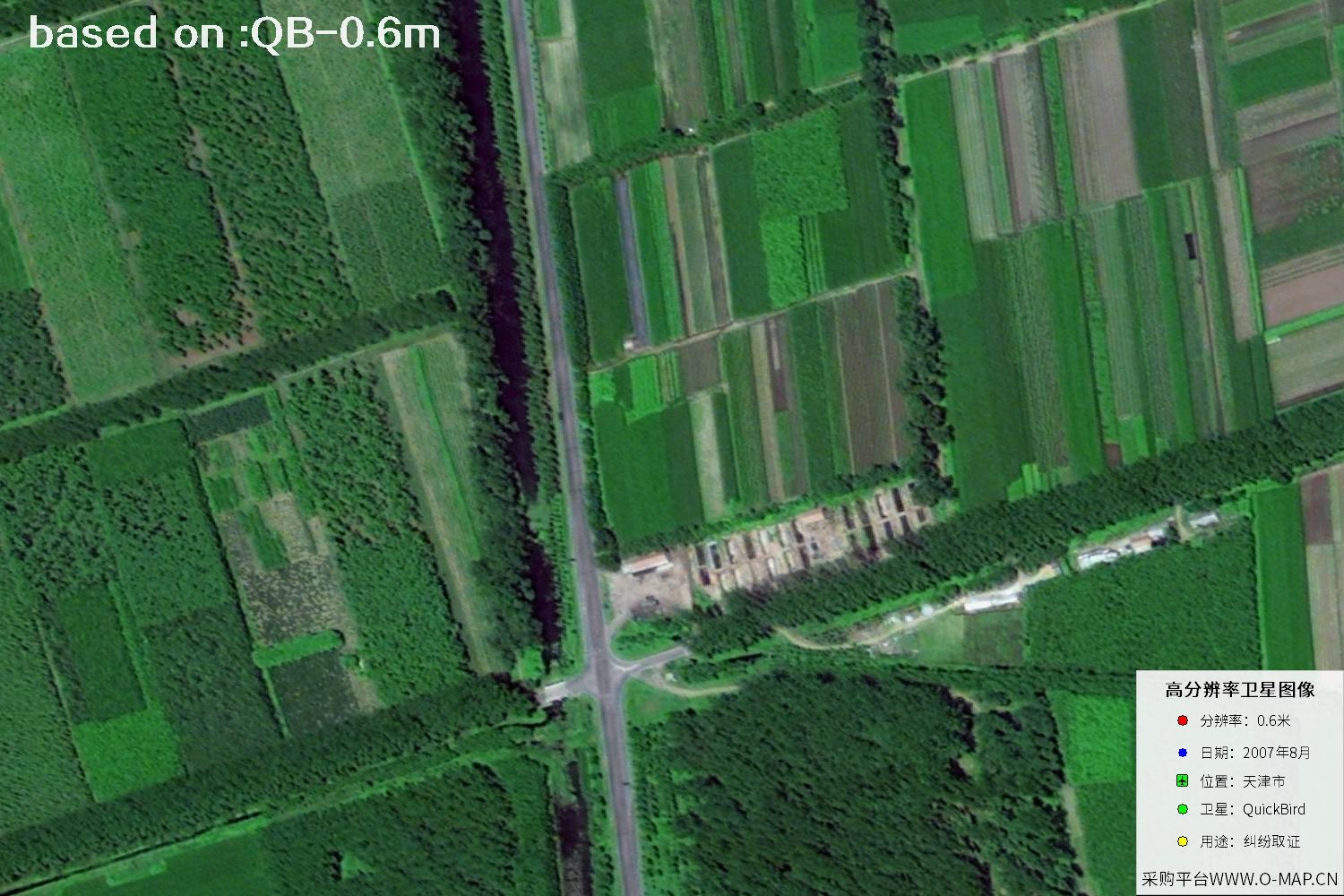
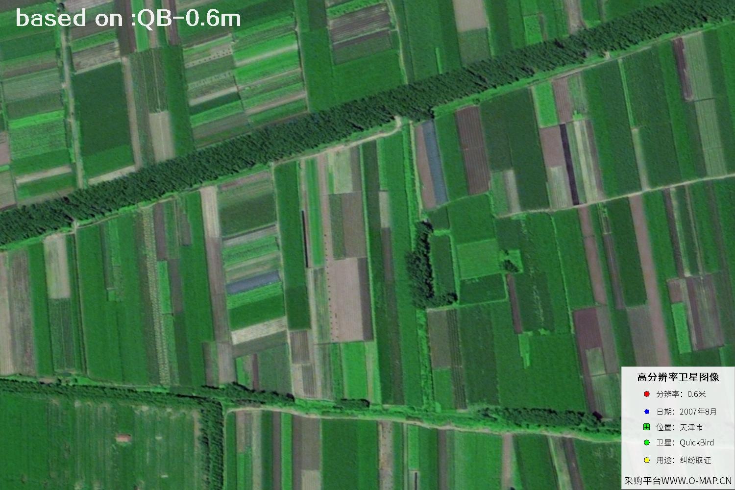
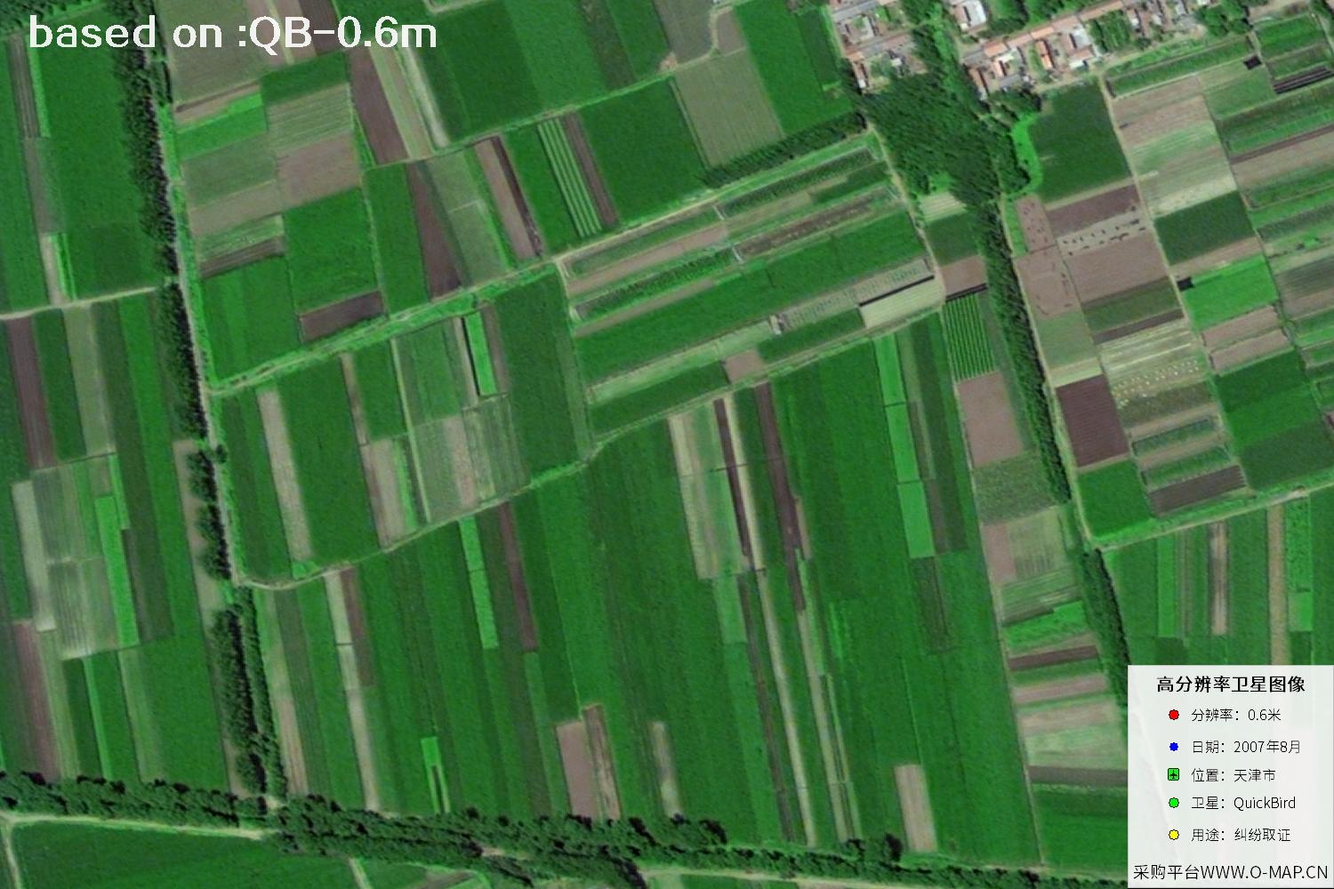
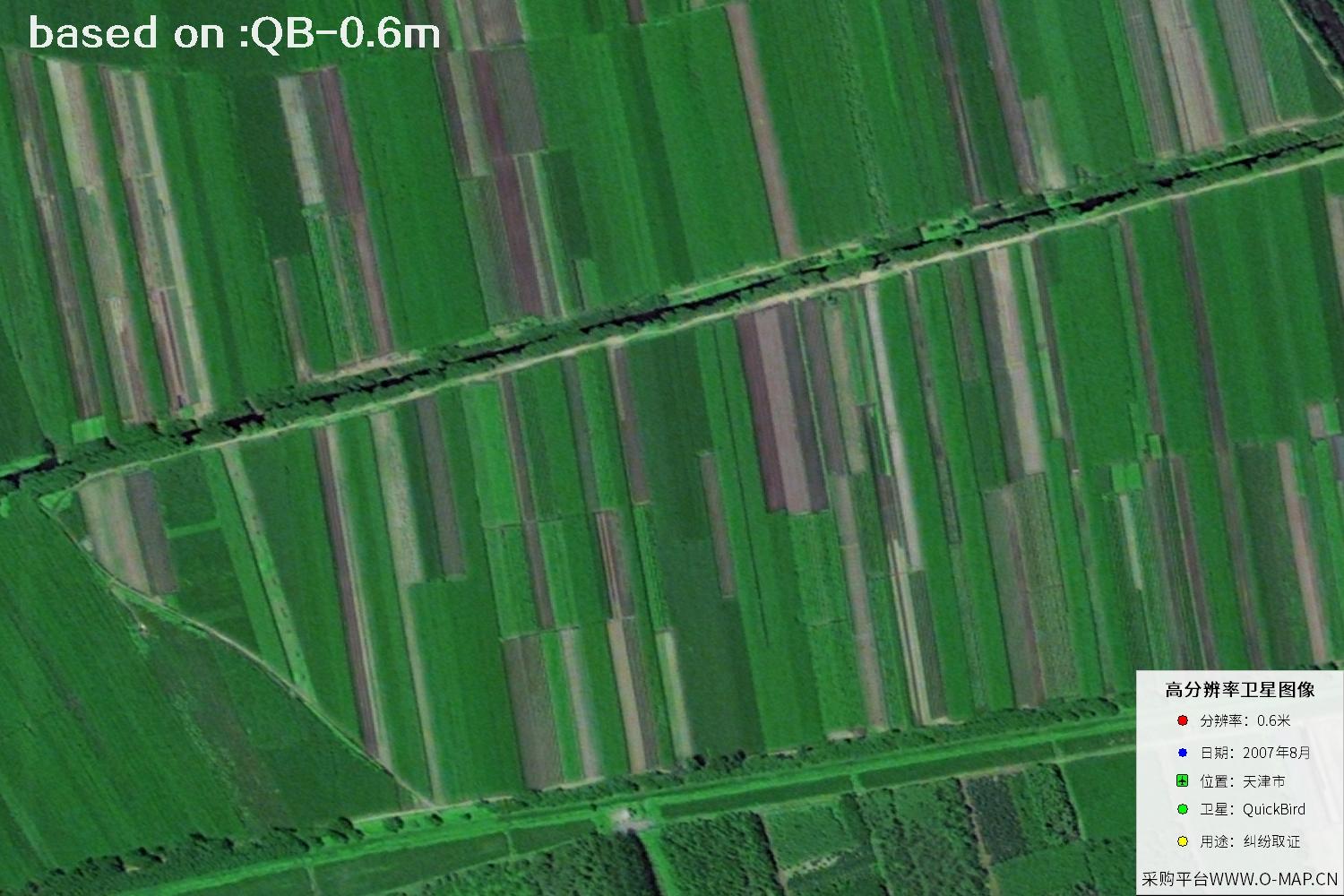
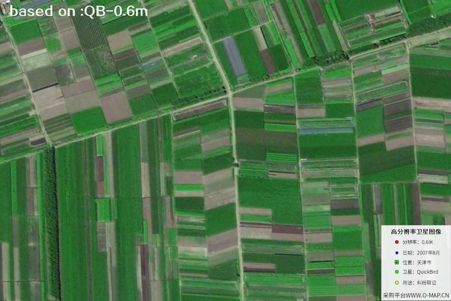
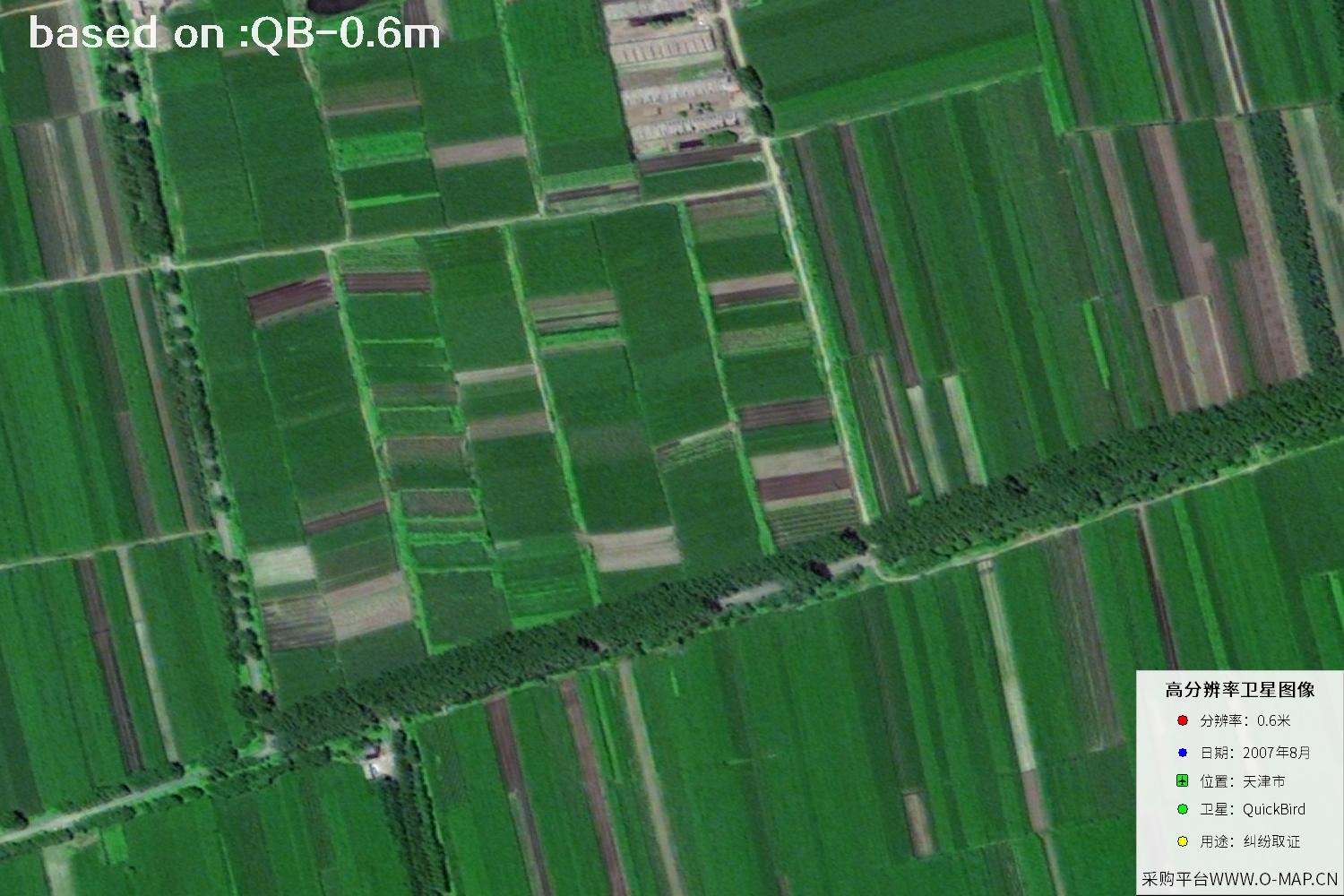
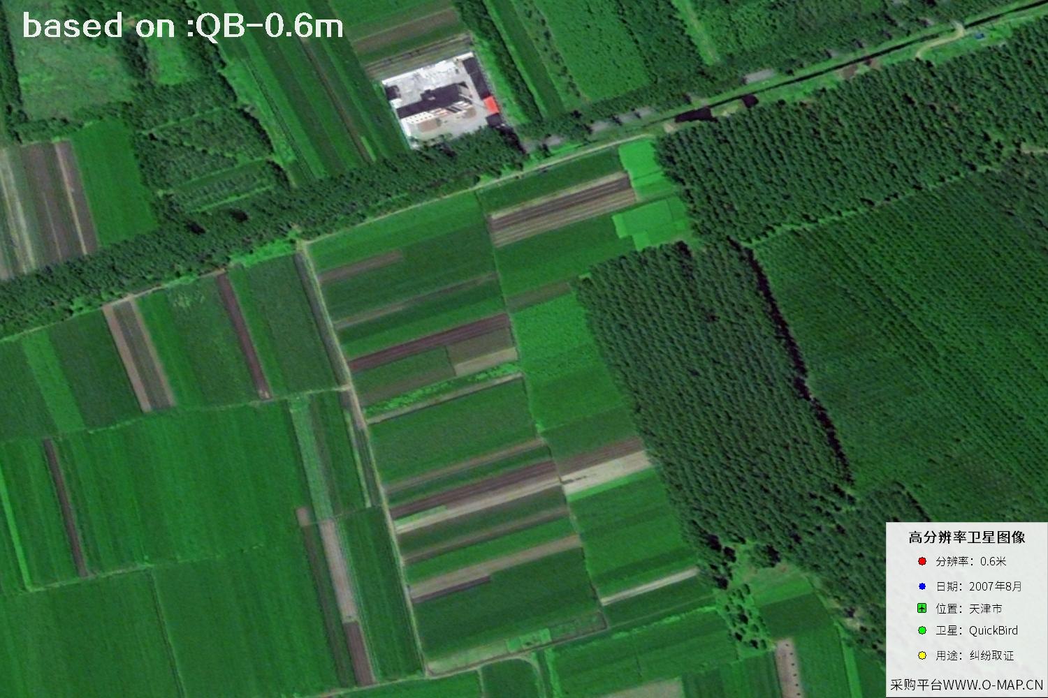
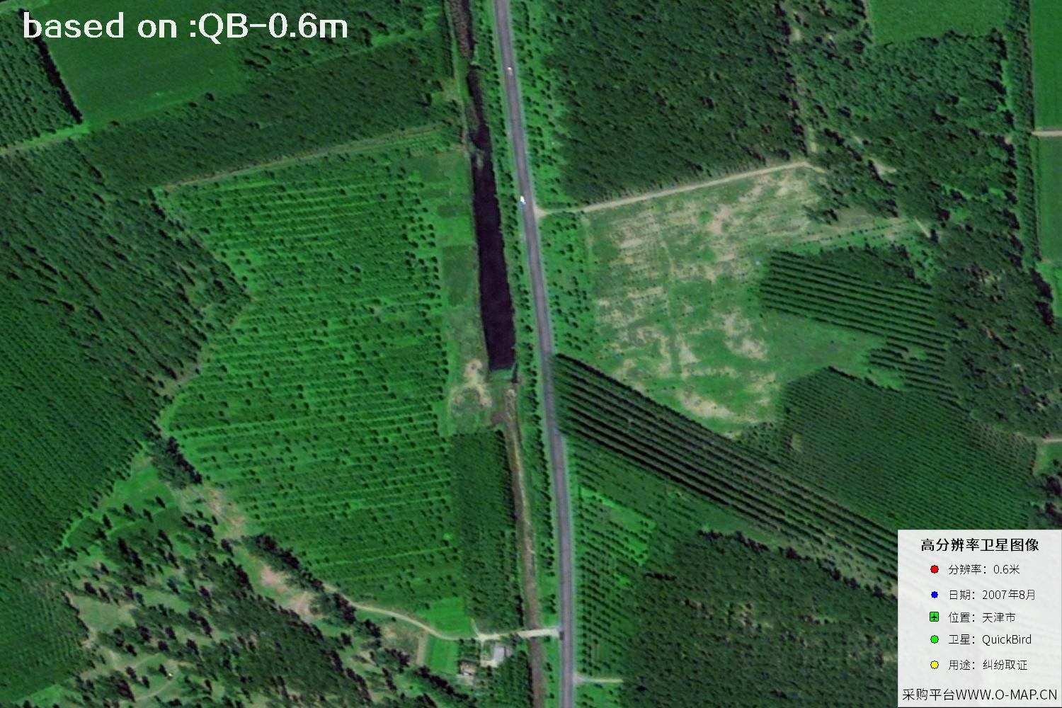
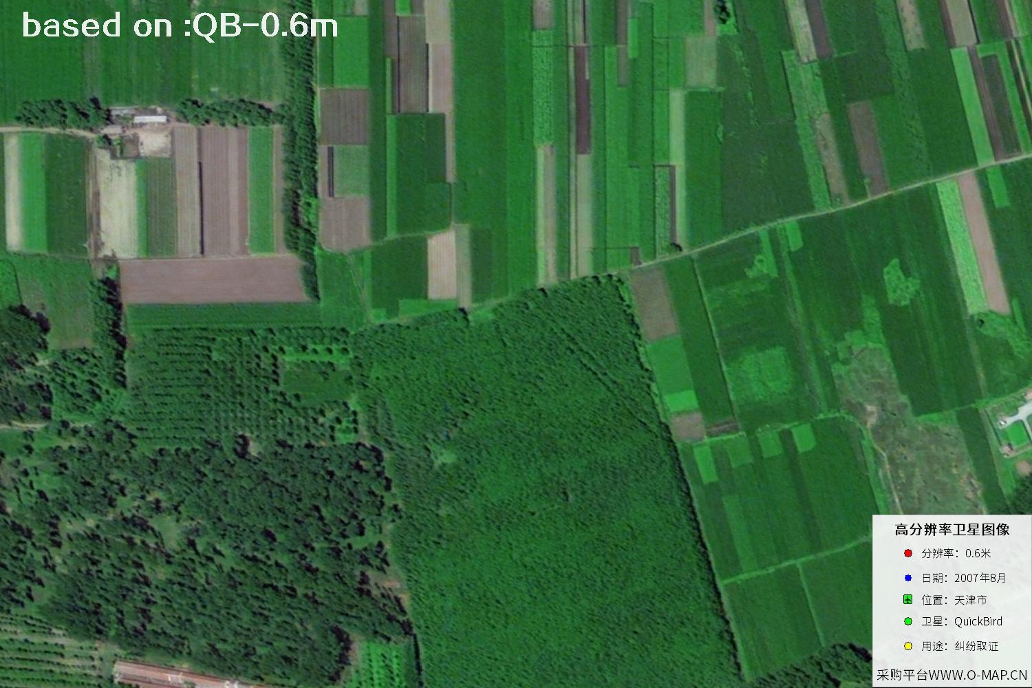
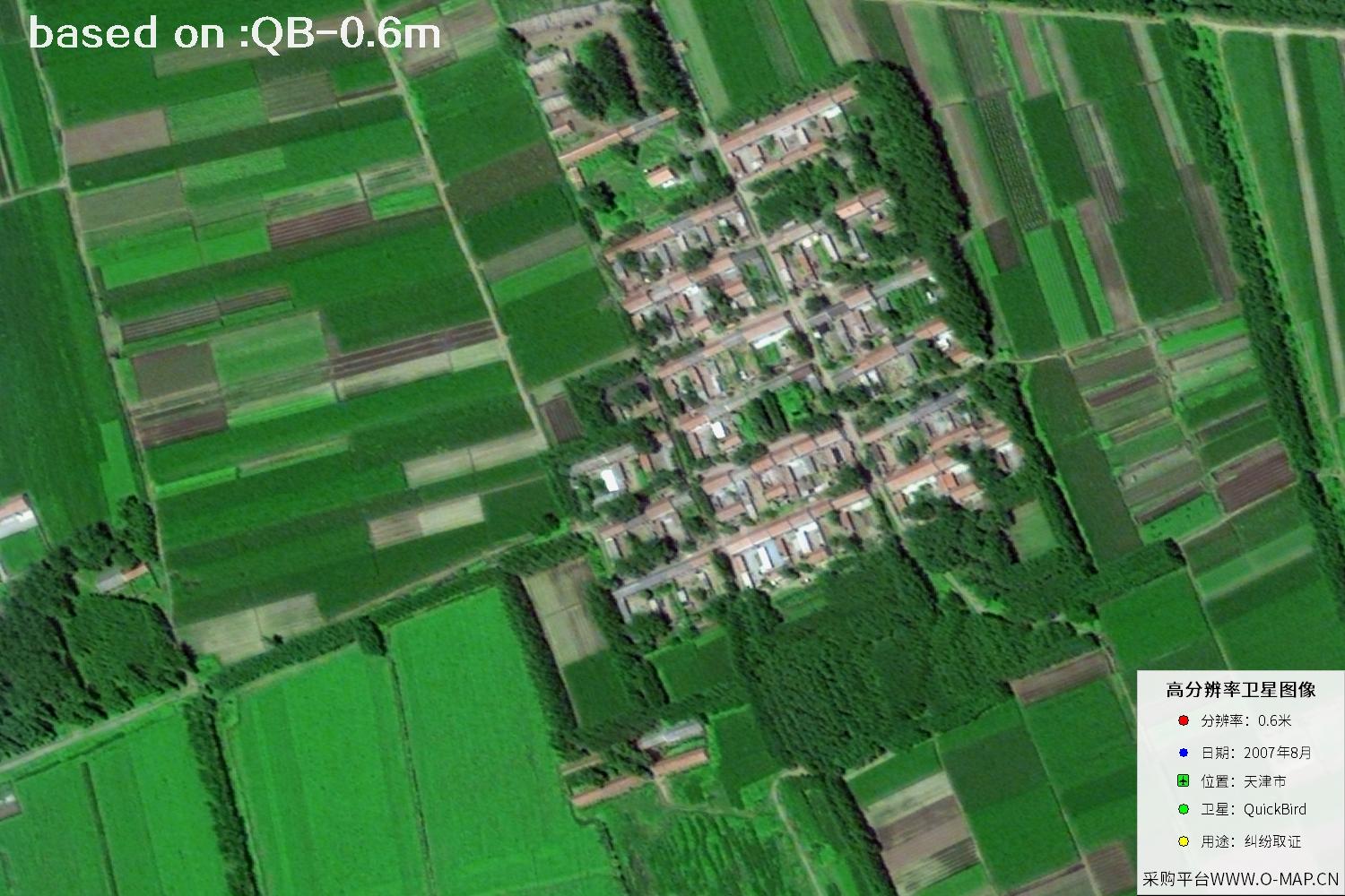
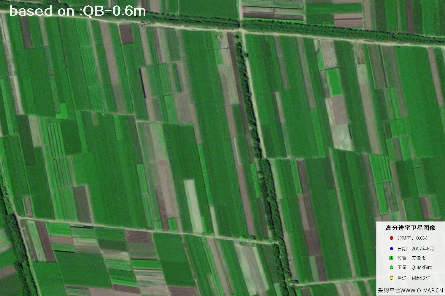
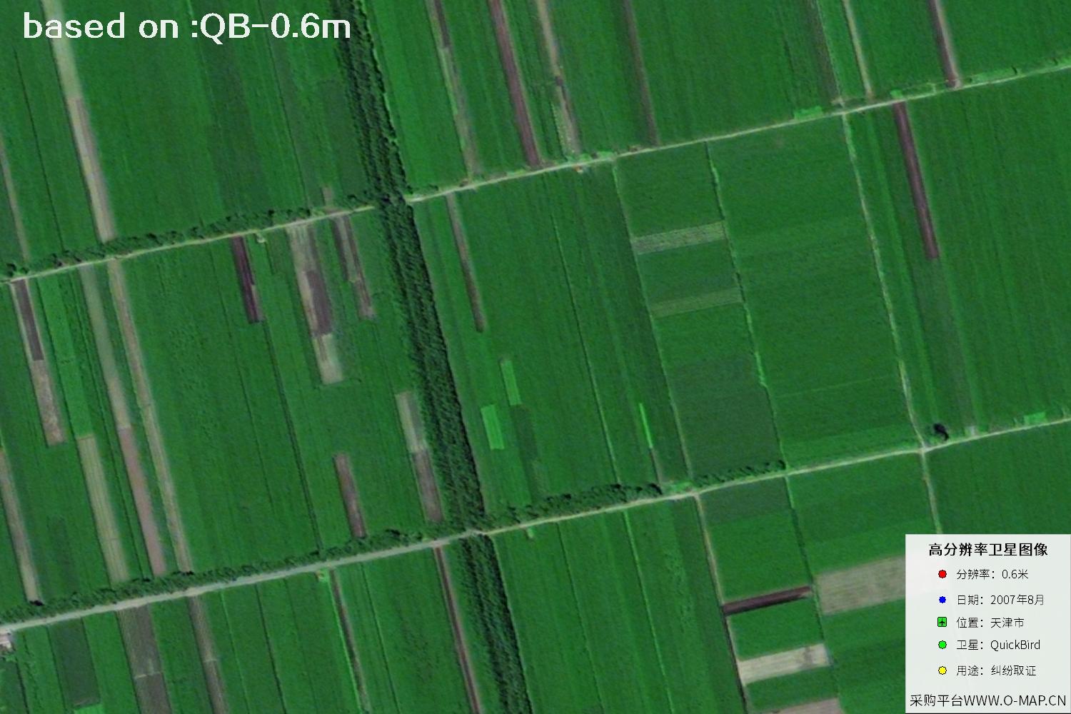
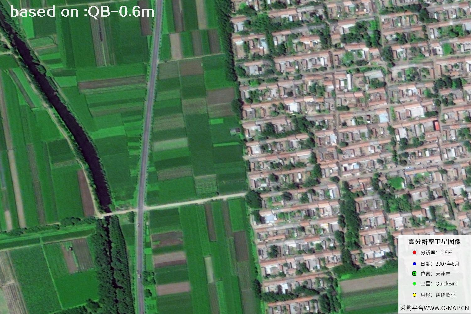
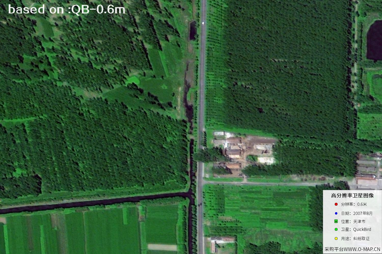
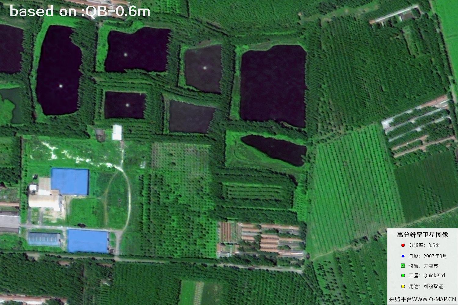
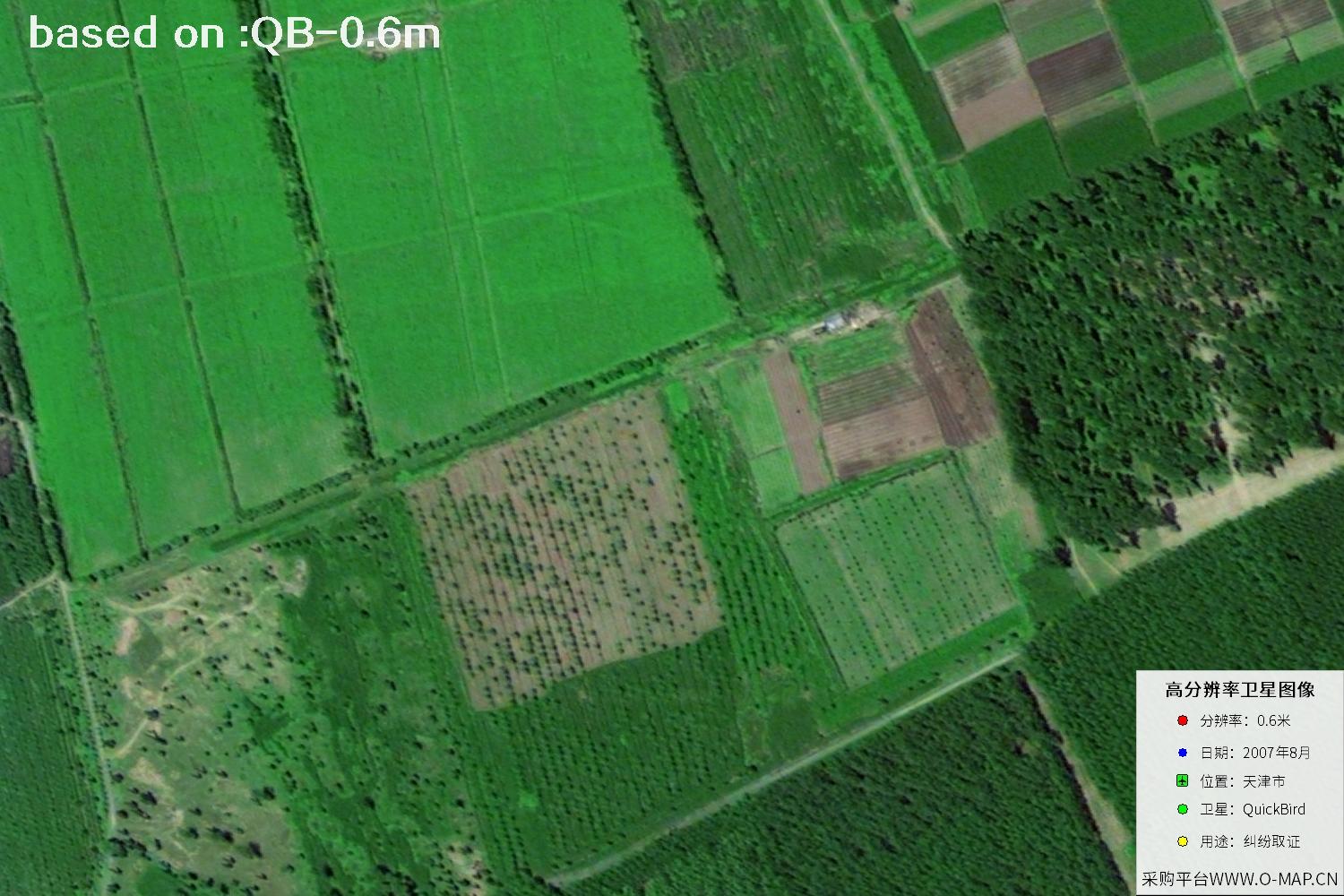
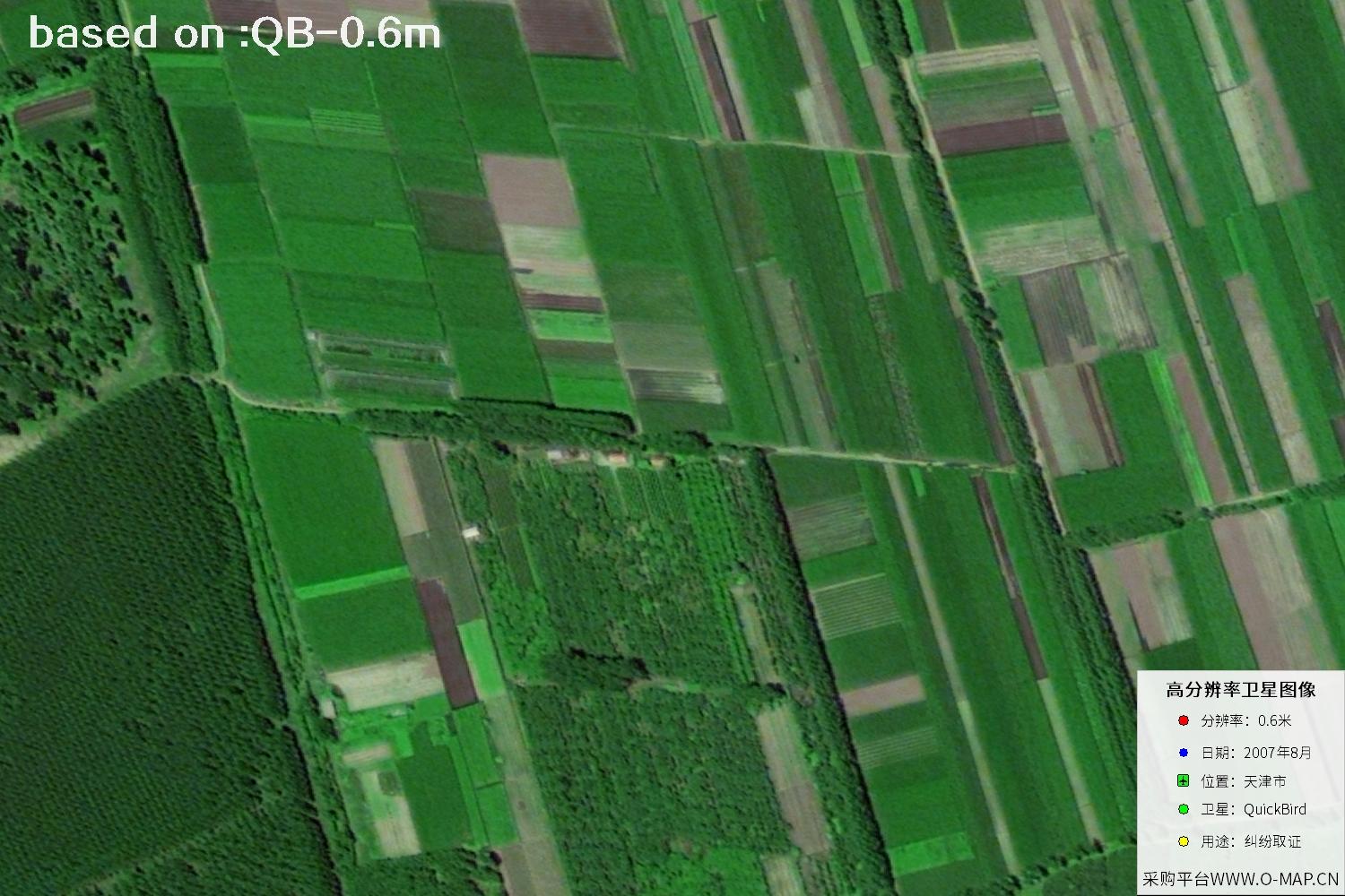
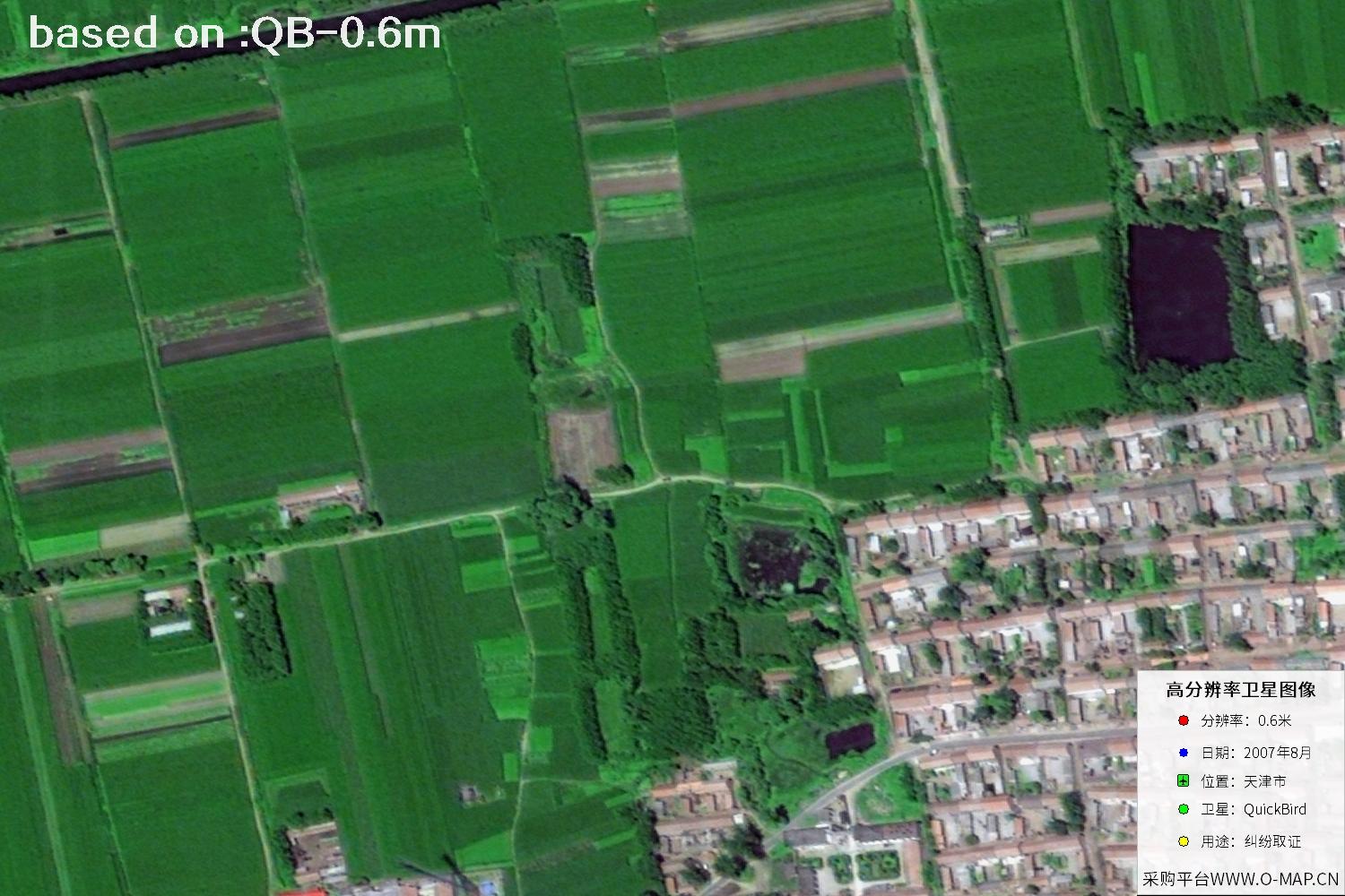
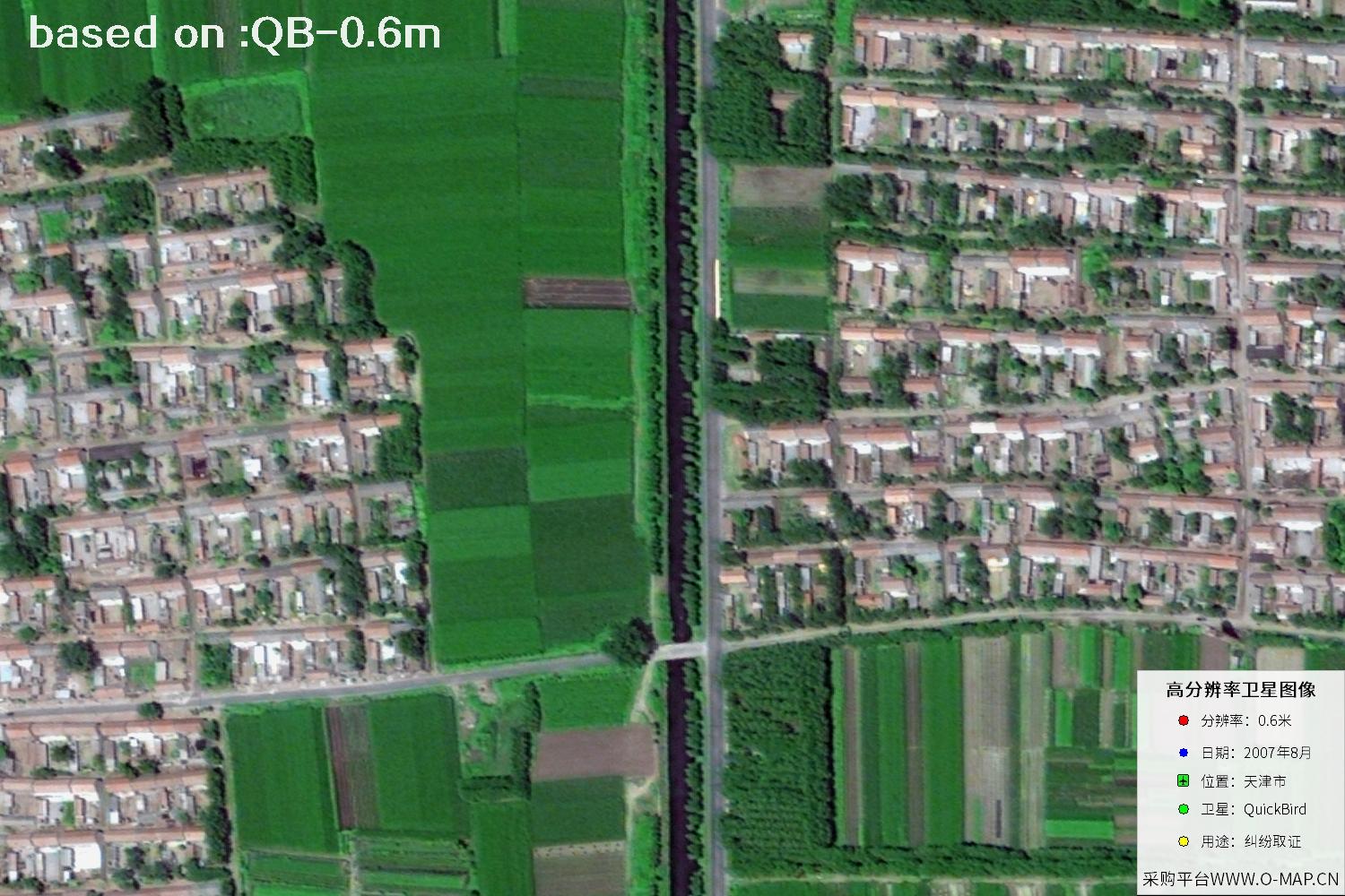
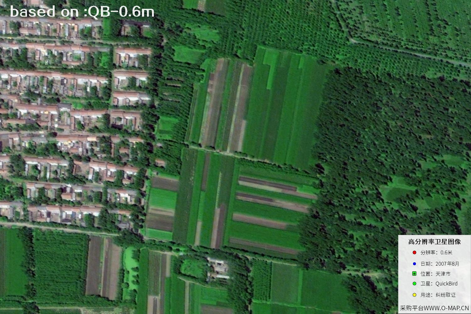
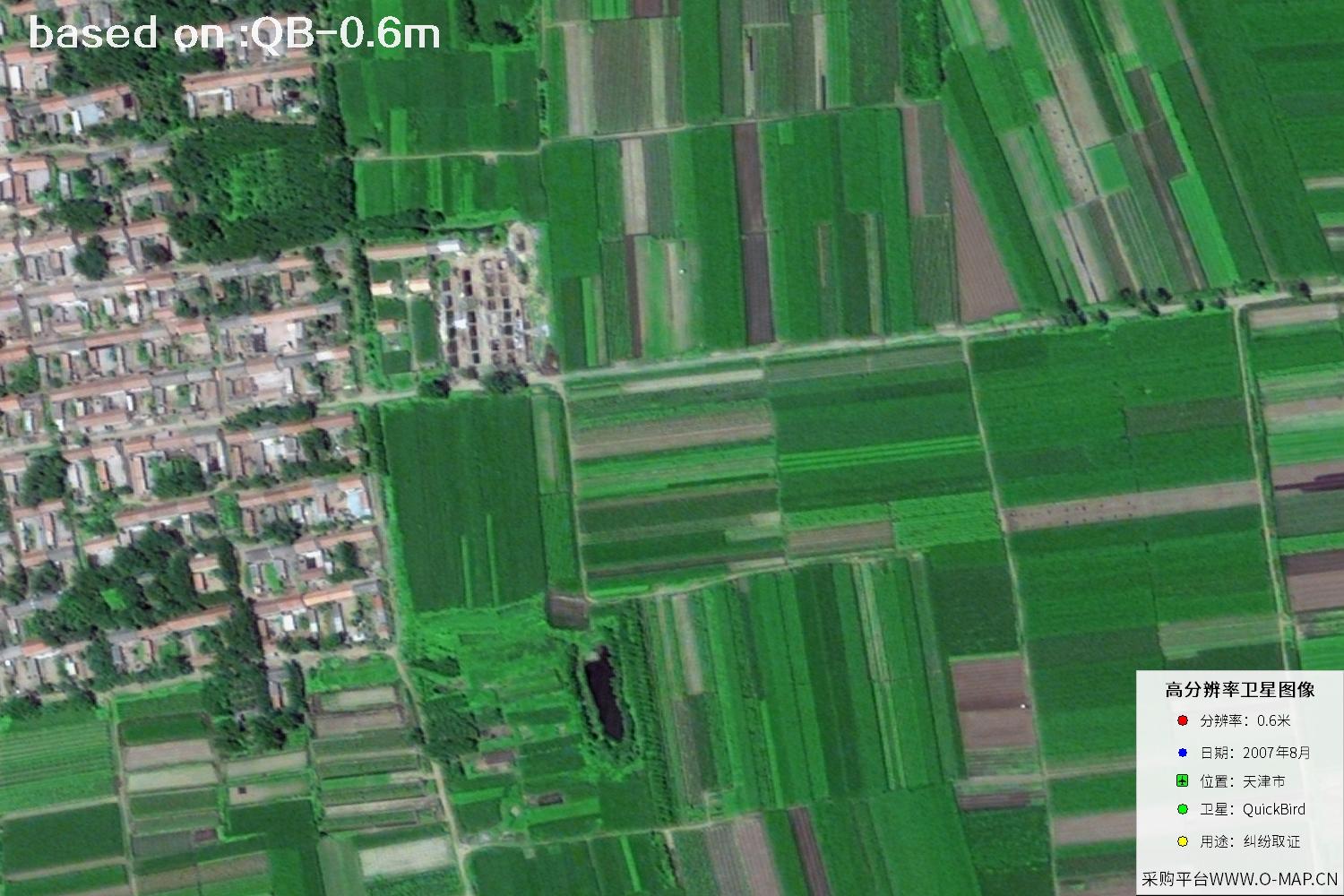
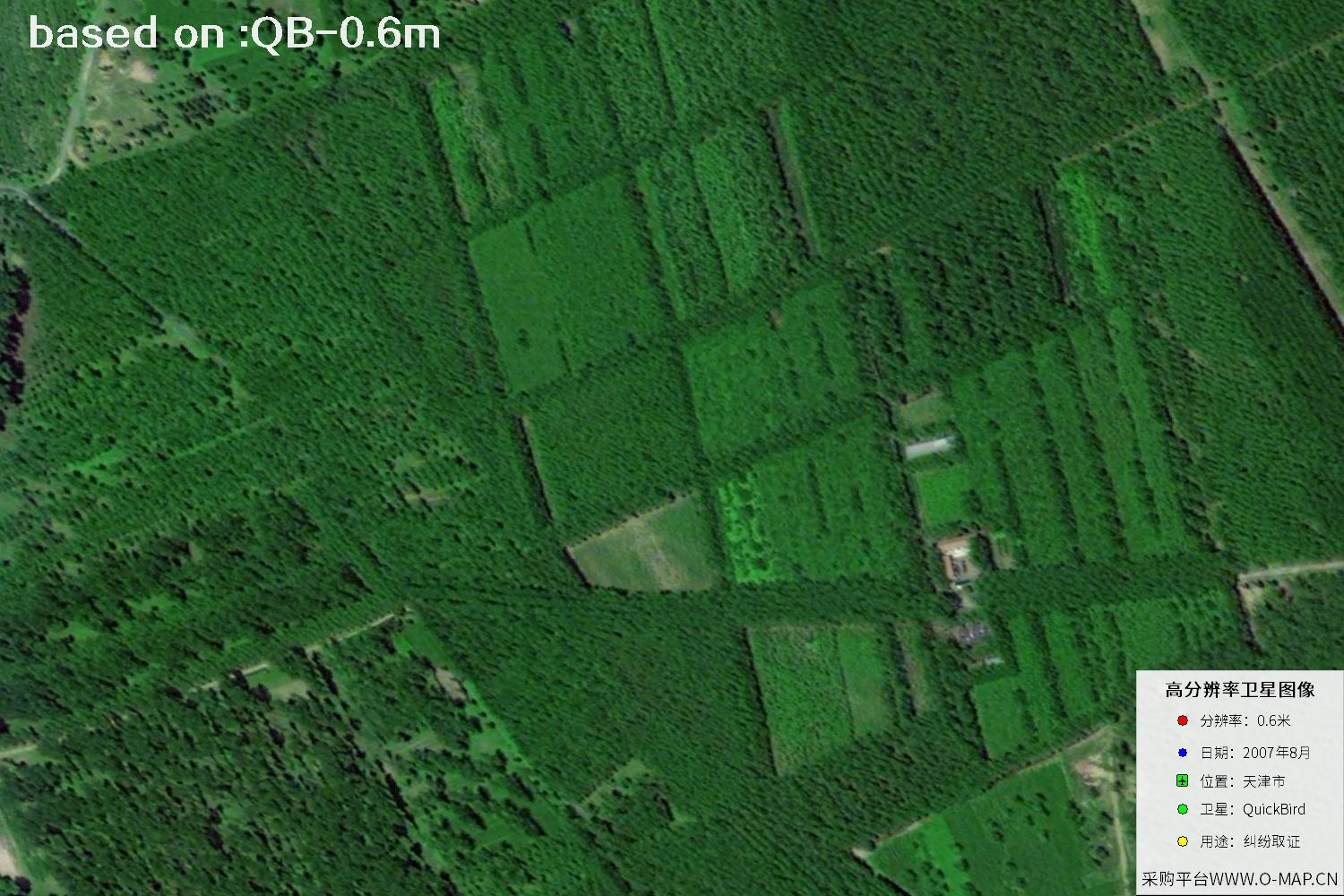
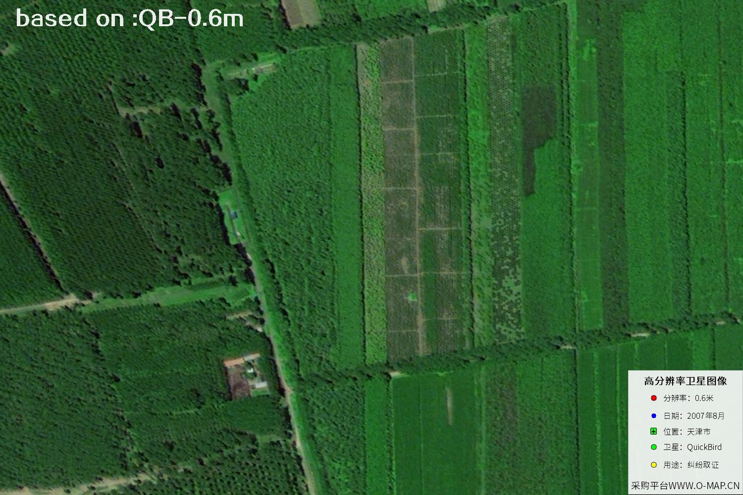
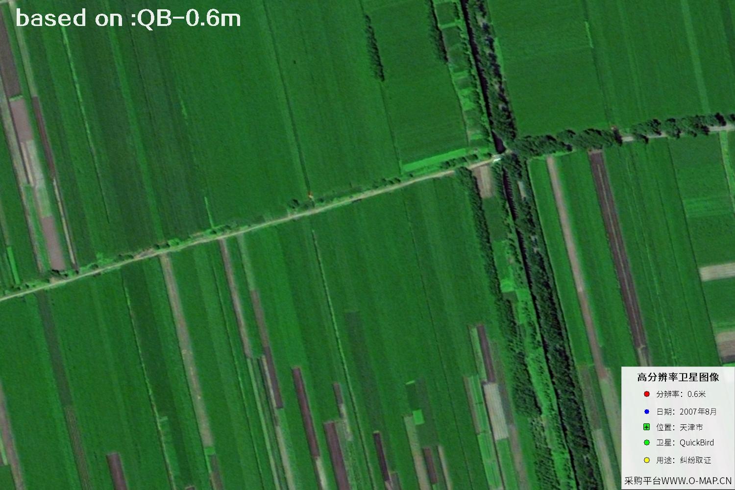
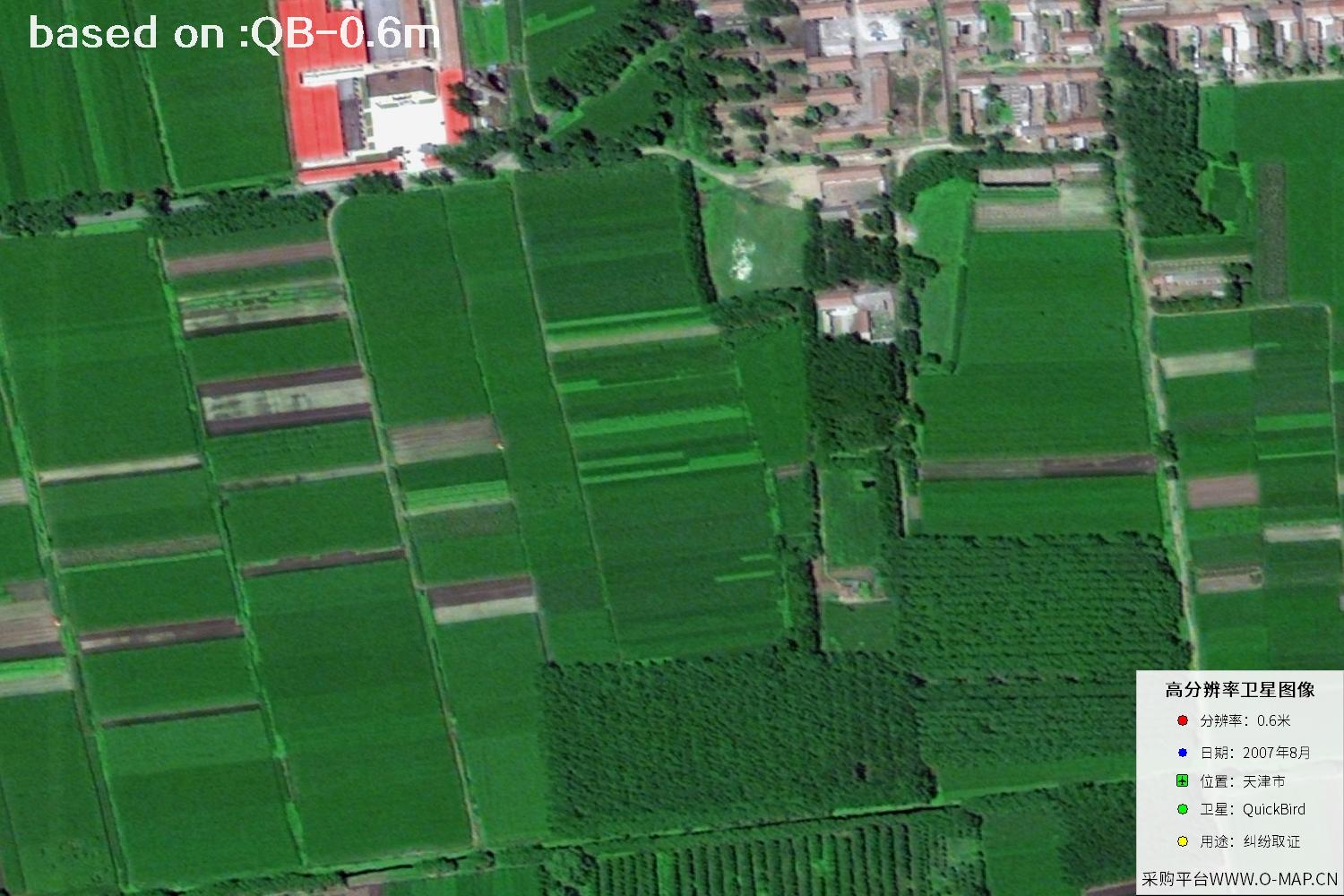
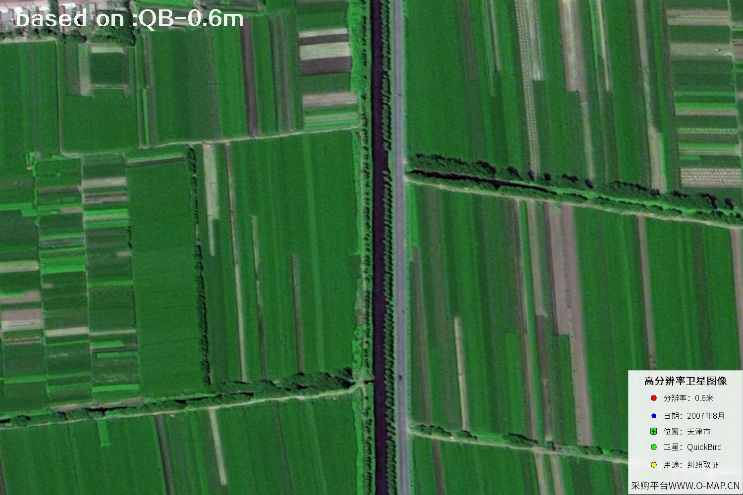
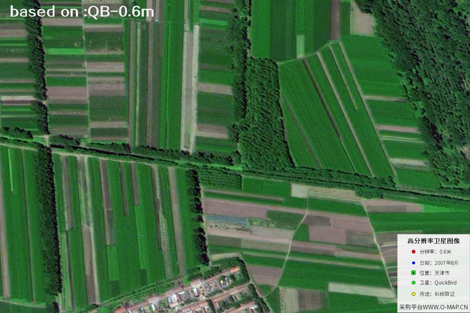
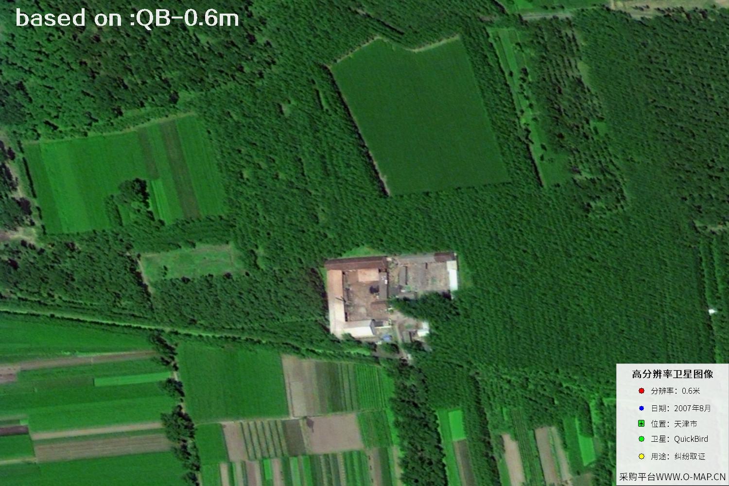
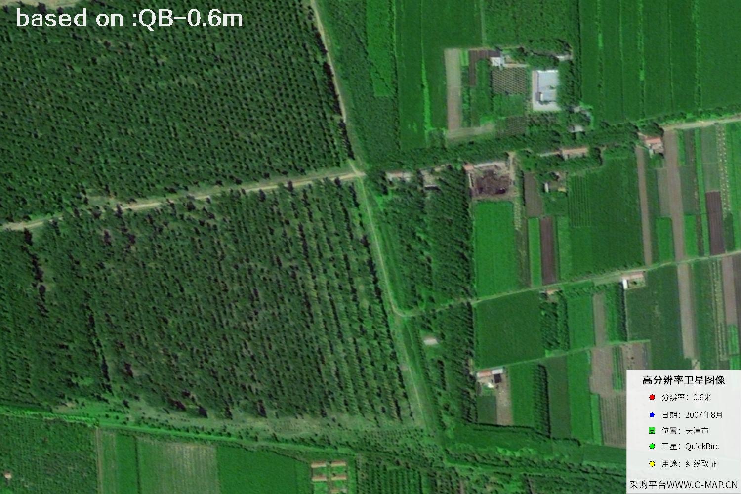
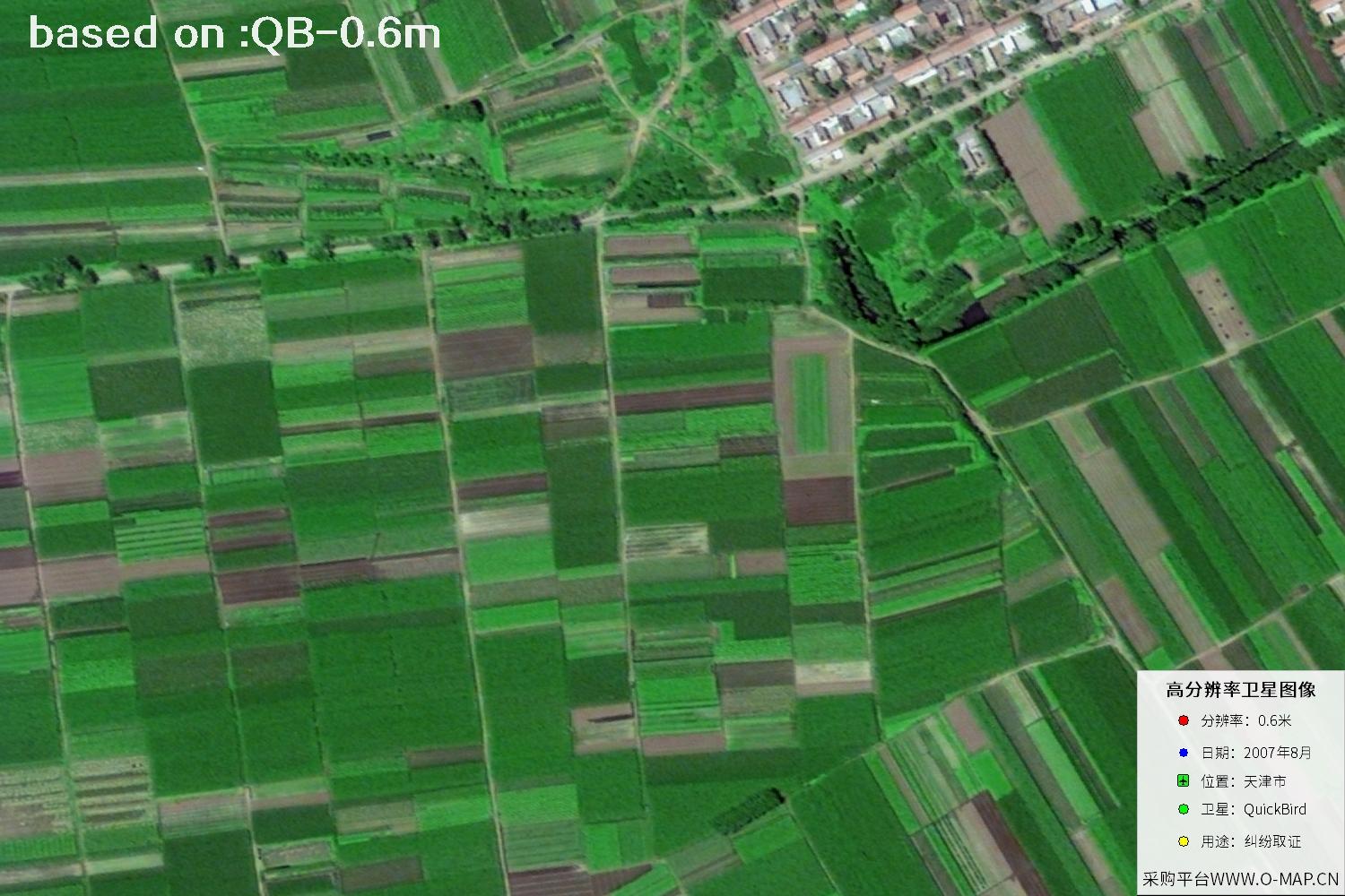
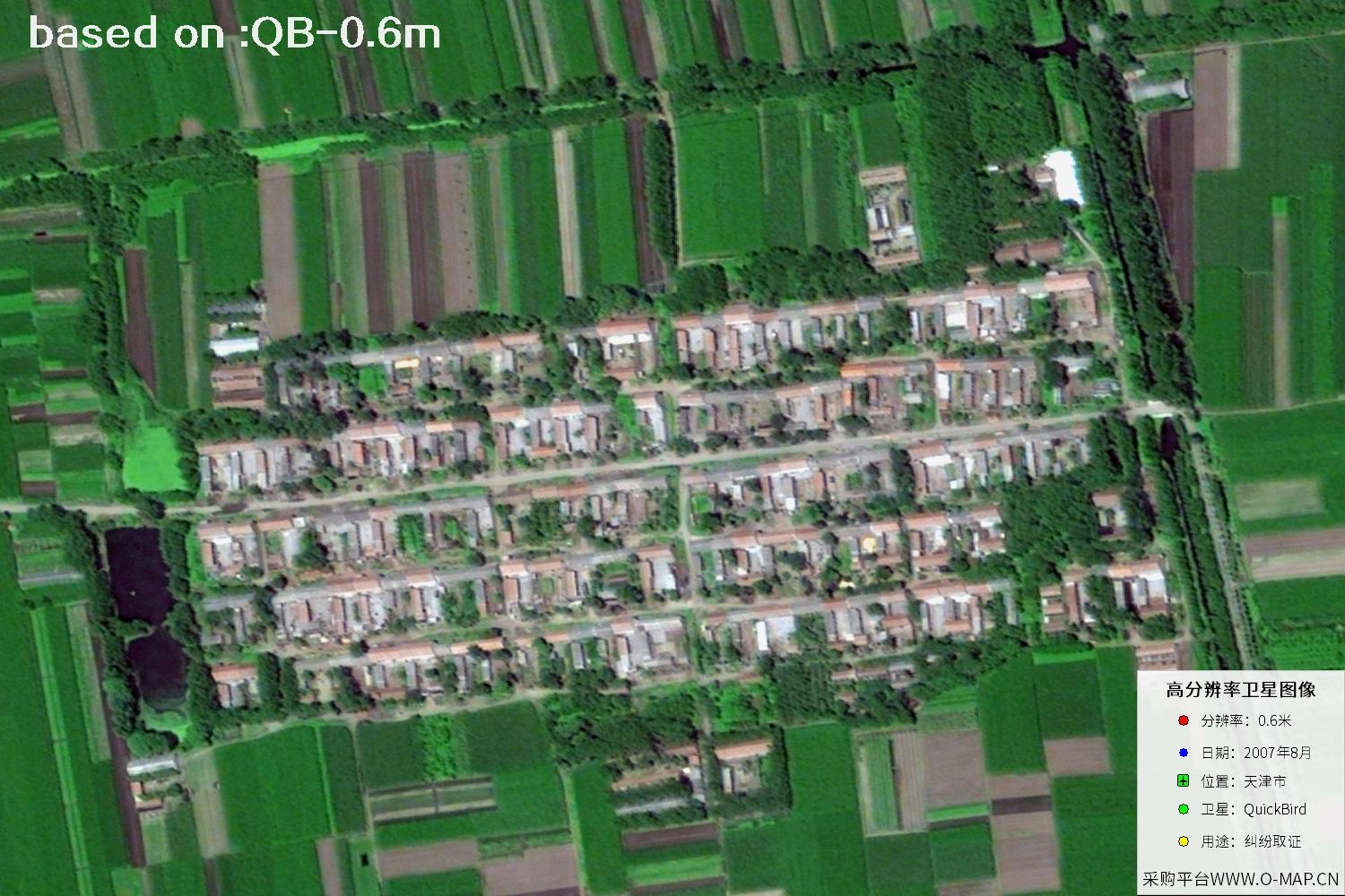
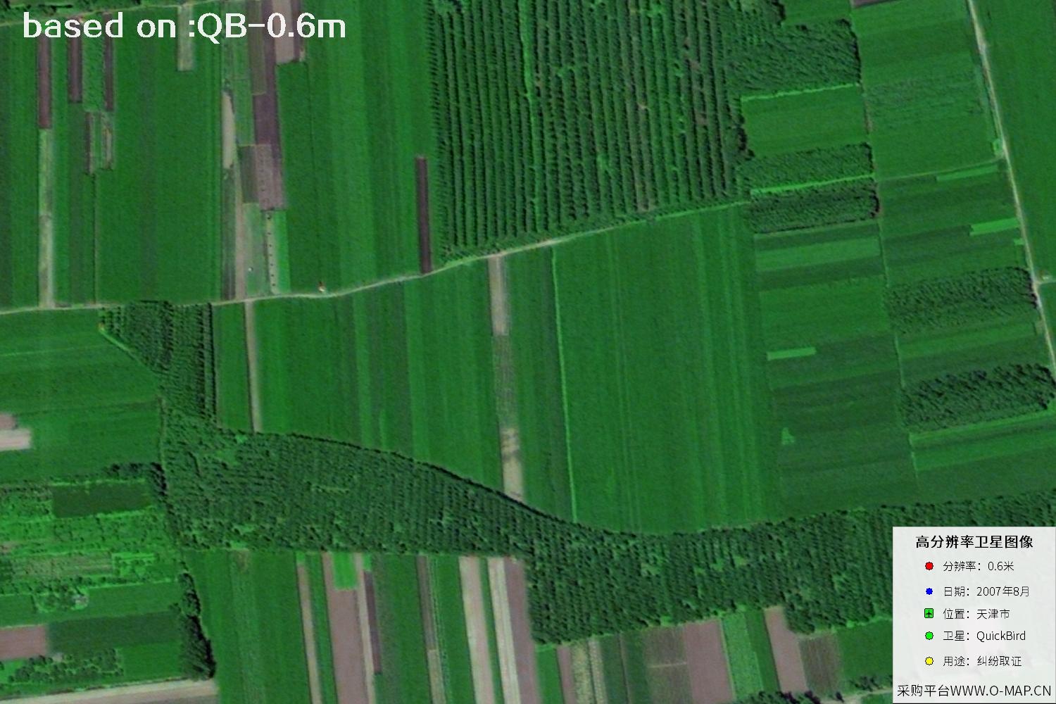
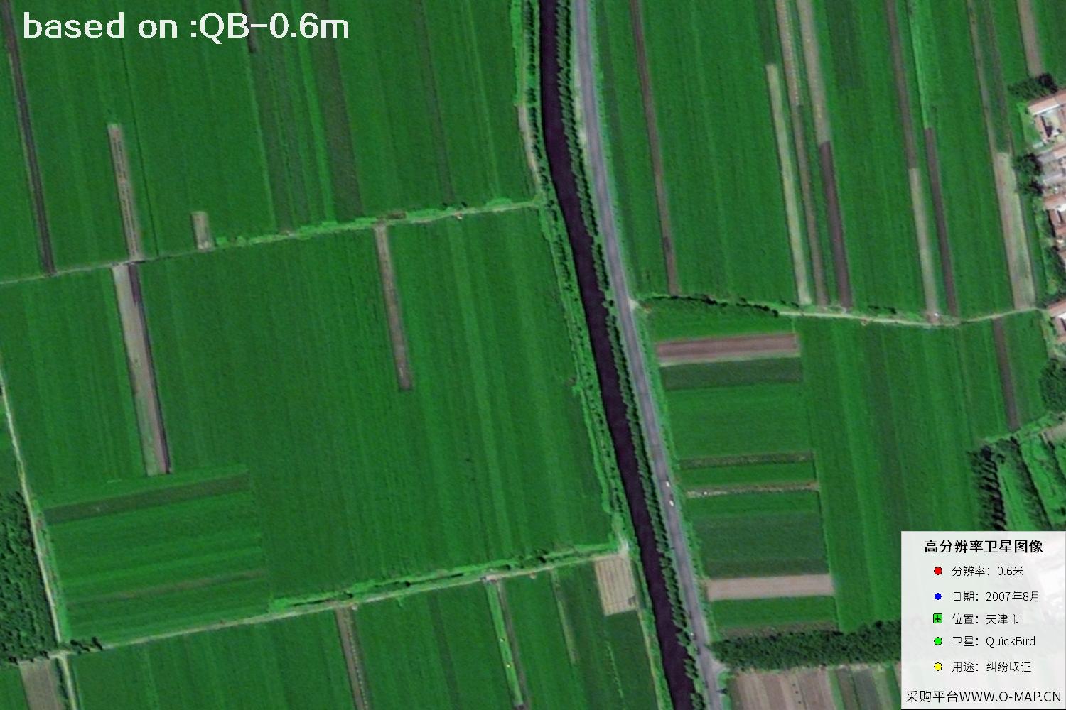
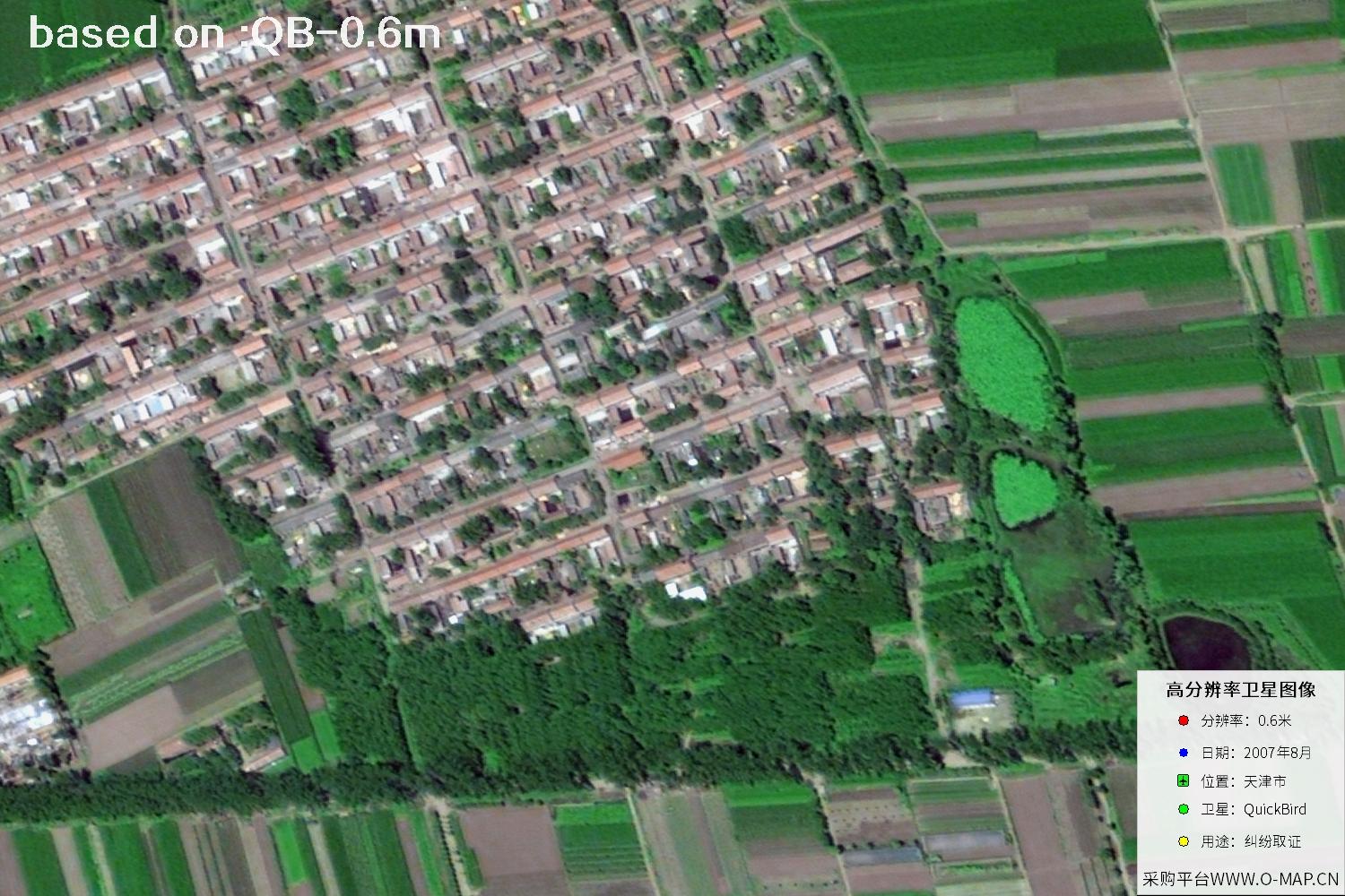
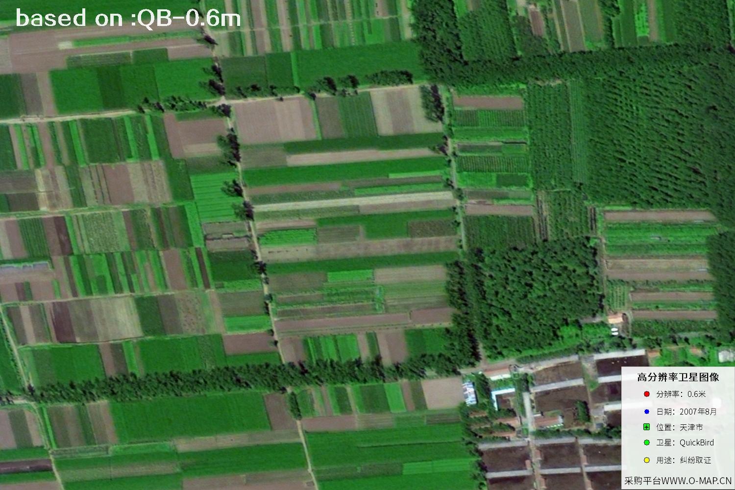
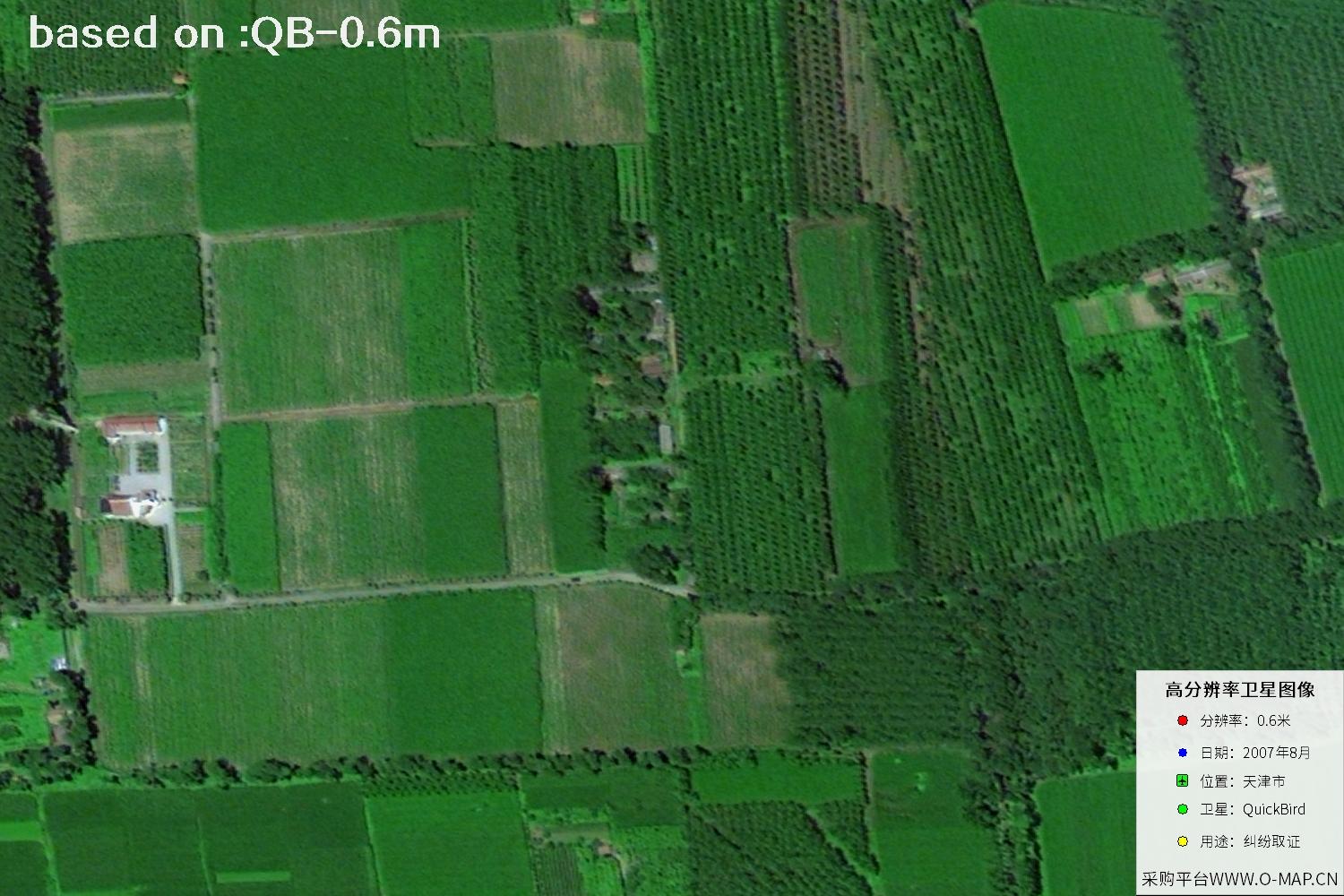
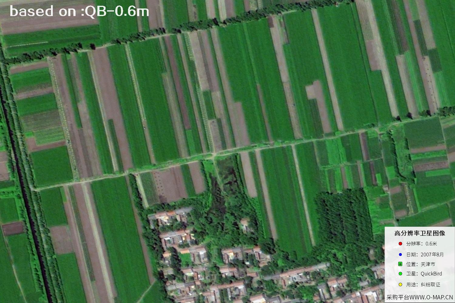
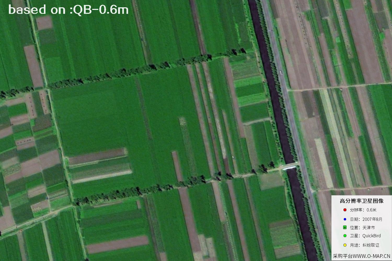
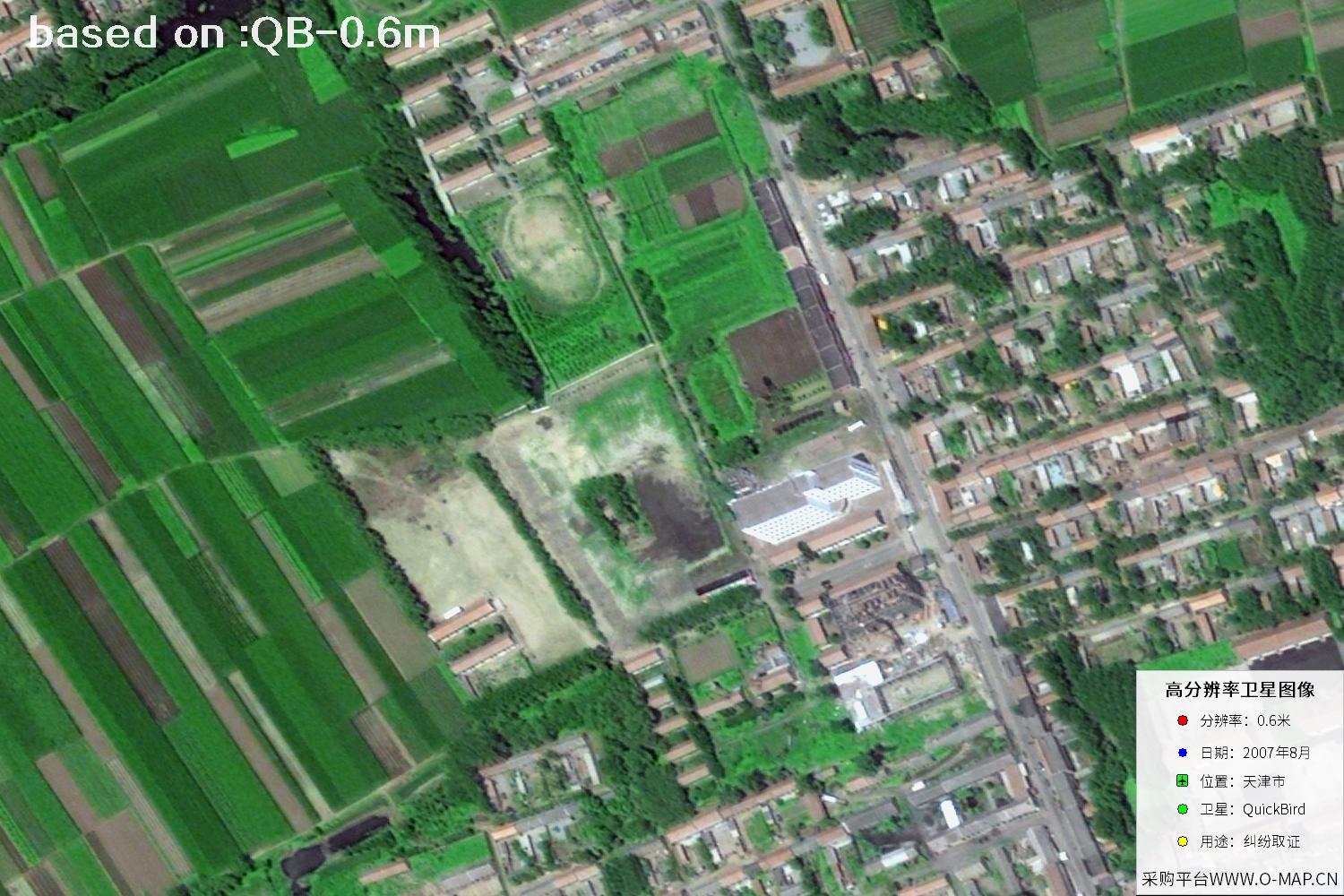
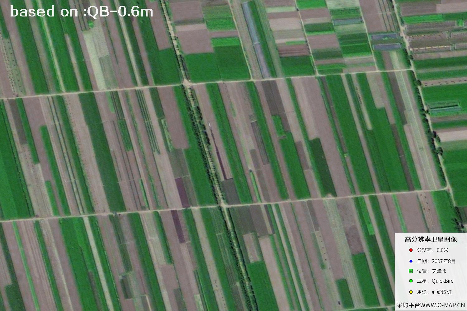
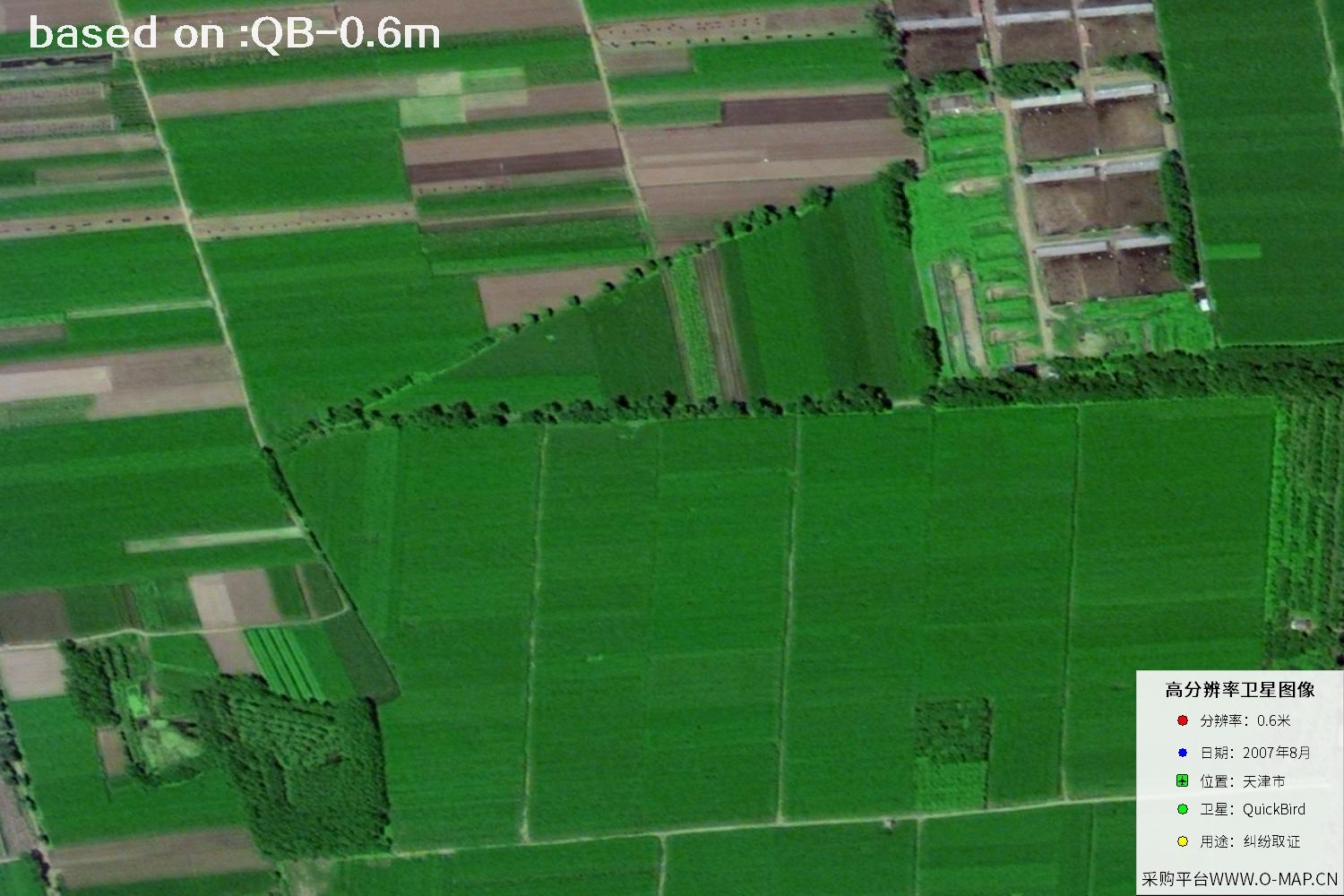
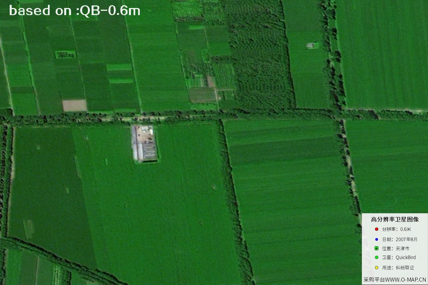
Tianjin is a major port city in northern China and a transport and industrial hub linking North China with the Bohai Rim. Around 2007, urban development continued across both the central districts and the Binhai New Area: the Haihe River waterfront, road networks, residential neighborhoods, and industrial land together shaped the city's spatial pattern. Historical satellite imagery lets us observe that surface layout from above, offering a direct reference for reviewing the cityscape, comparing change over time, and illustrating reports. Note that each image shows ground conditions on one specific date, so feature interpretation should always consider location, season, and other sources. The images below are 0.6-meter-resolution satellite views of Tianjin captured by the QuickBird satellite in August 2007.
QuickBird is a high-resolution commercial remote-sensing satellite capable of capturing richly detailed views of the Earth's surface. The August 2007 Tianjin imagery serves as historical material for browsing urban landscapes, assisting feature interpretation, and comparing scenes across periods. Always verify the acquisition date, coverage, and product details against your intended use.
A selection of 48 historical QuickBird samples. Click any thumbnail to view it full-screen.
Sample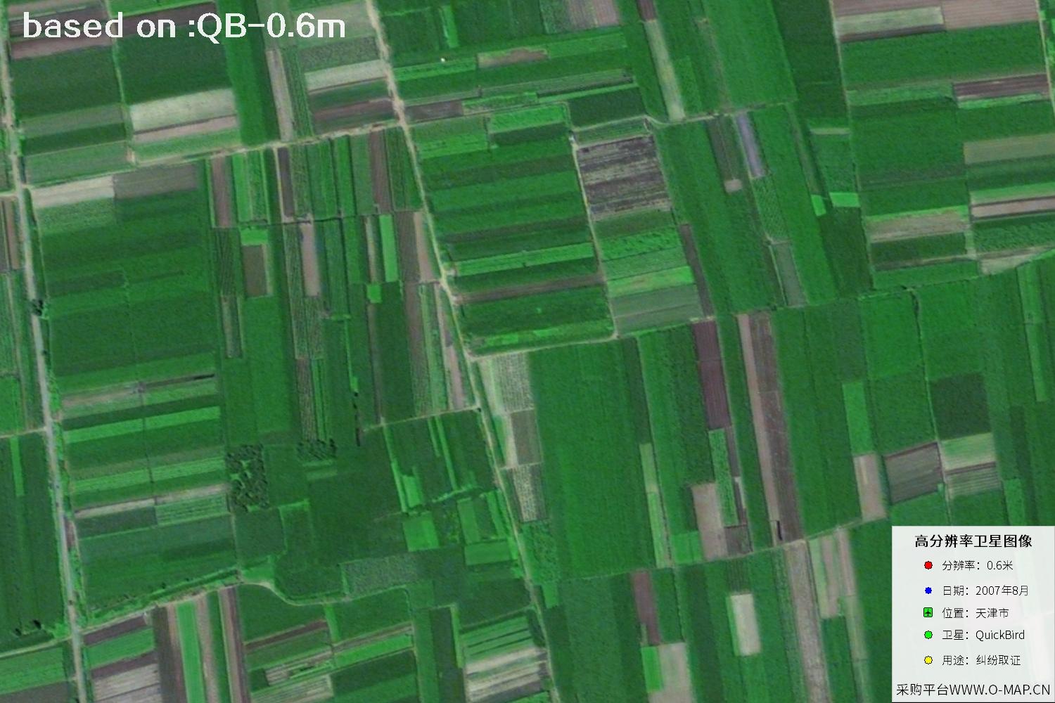 Sample
 Sample
 Sample
 Sample
 Sample
 Sample
 Sample
 Sample
 Sample
 Sample
 Sample
 Sample
 Sample
 Sample
 Sample
 Sample
 Sample
 Sample
 Sample
 Sample
 Sample
 Sample
 Sample
 Sample
 Sample
 Sample
 Sample
 Sample
 Sample
 Sample
 Sample
 Sample
 Sample
 Sample
 Sample
 Sample
 Sample
 Sample
 Sample
 Sample
 Sample
 Sample
 Sample
 Sample
 Sample
 Sample
 Sample
Choose a feature type to open its recognition guide.