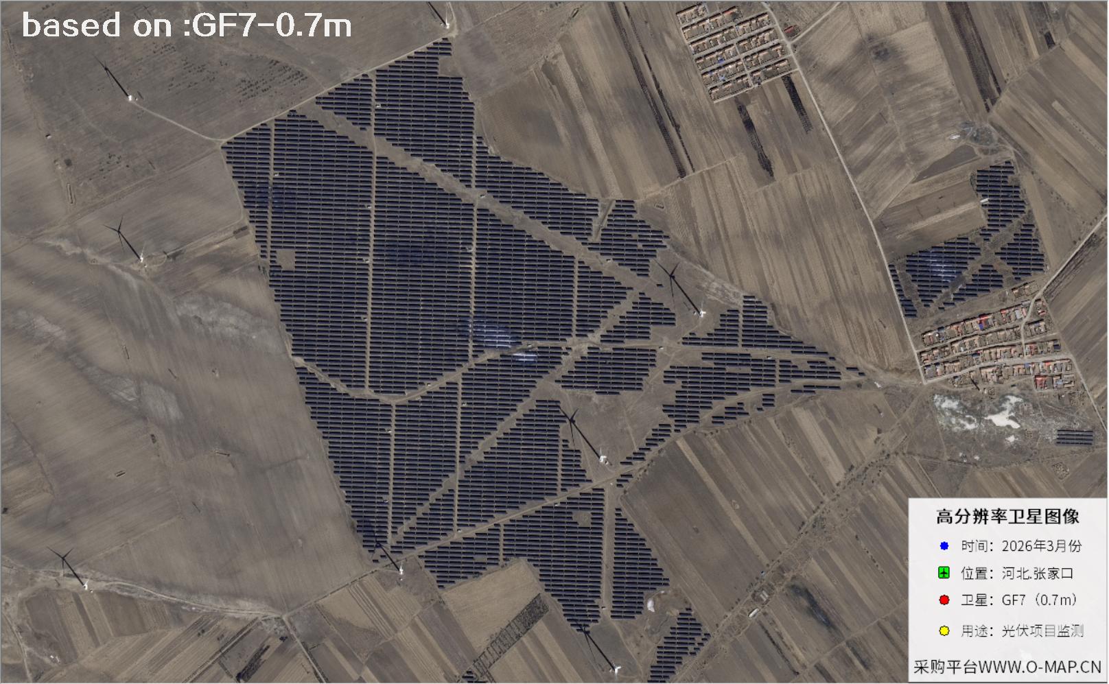
๐Ÿ›ฐ๏ธGaofen-7 Satellite: Solar Panel Imagery of Zhangjiakou, Hebei

๐Ÿ—“๏ธ Published: October 20, 2026 Gaofen-7 Solar Panels Zhangjiakou
๐Ÿ›ฐ๏ธ Satellite
GF7
๐Ÿ“… Captured
Latest 2026
๐Ÿ“ Location
Zhangjiakou, Hebei
๐Ÿ” Use Case
Solar panel monitoring

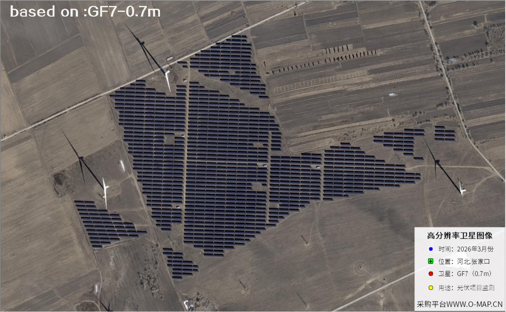
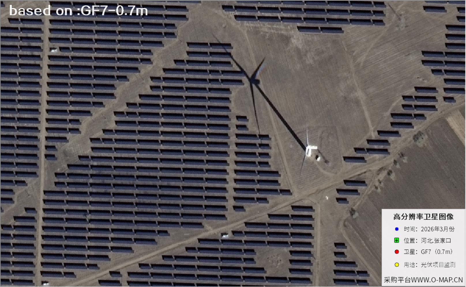
Zhangjiakou is one of the few places in China that can claim both wind and sun. The northwest wind that sweeps across the Bashang Plateau for most of the year turned this corner of Hebei into one of the country's largest wind power bases, while long sunshine hours, clear air and open terrain gave solar developers room to work. From a ridge above the valley, the result looks almost orderly: rows of deep-blue panels follow the slope, and service roads cut the array into neat blocks. Managing a plant at that scale on foot is another matter. The slopes are steep, the area is huge and the rows sit tightly together, so a single walk-through can take half a day.

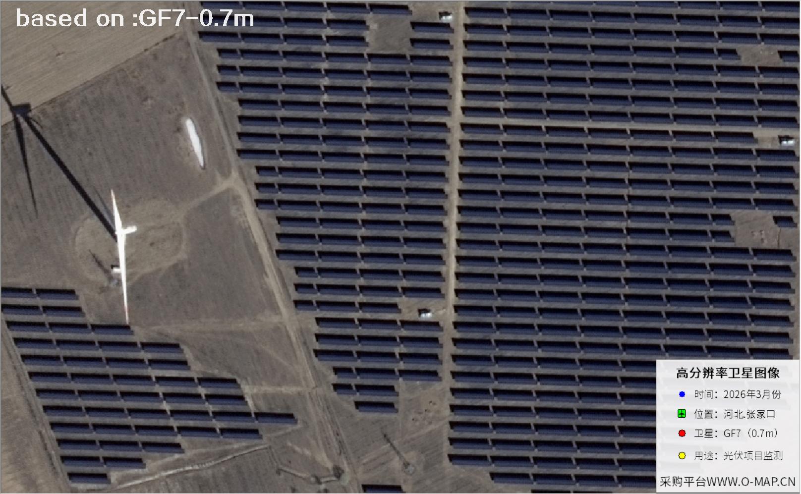
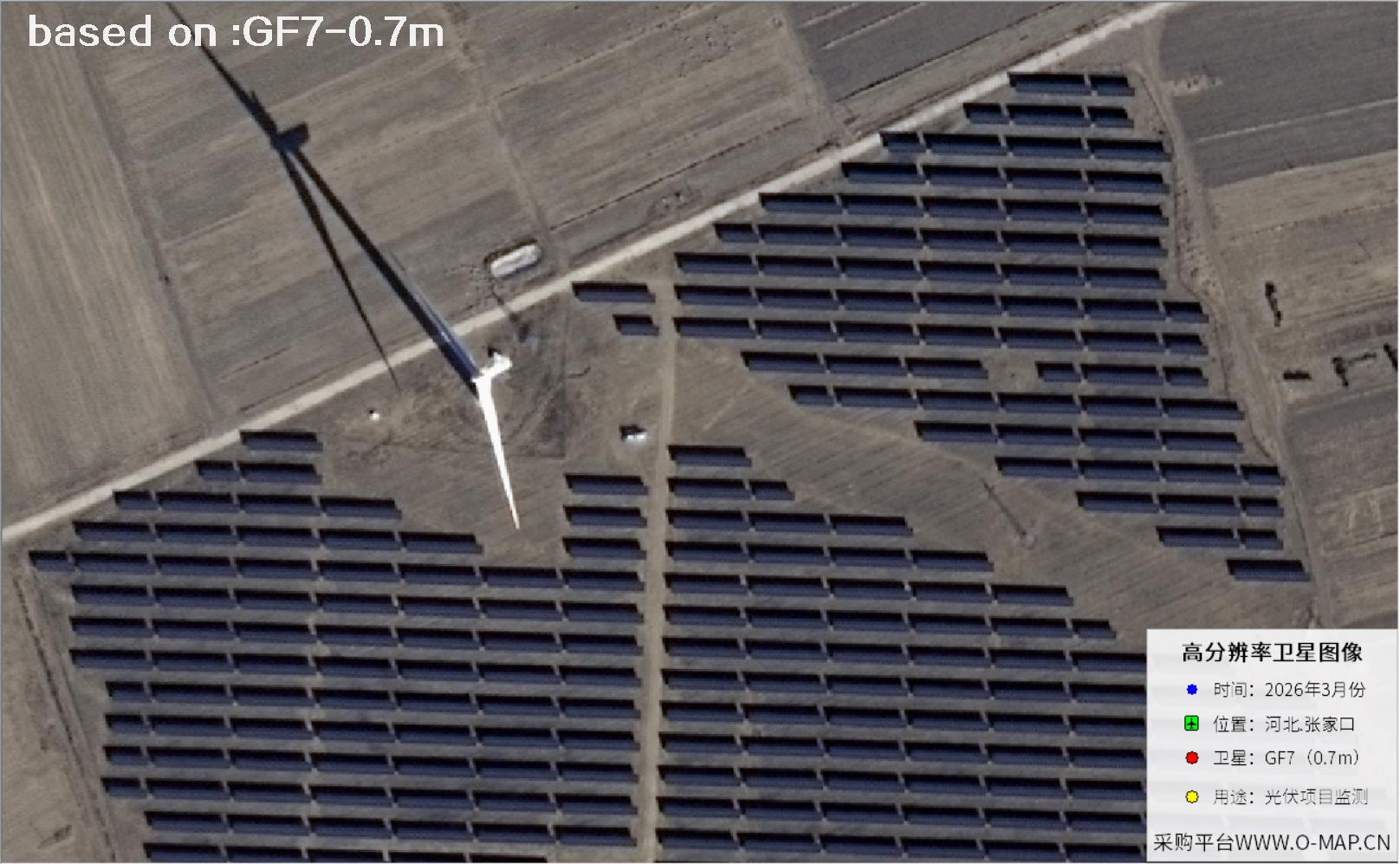
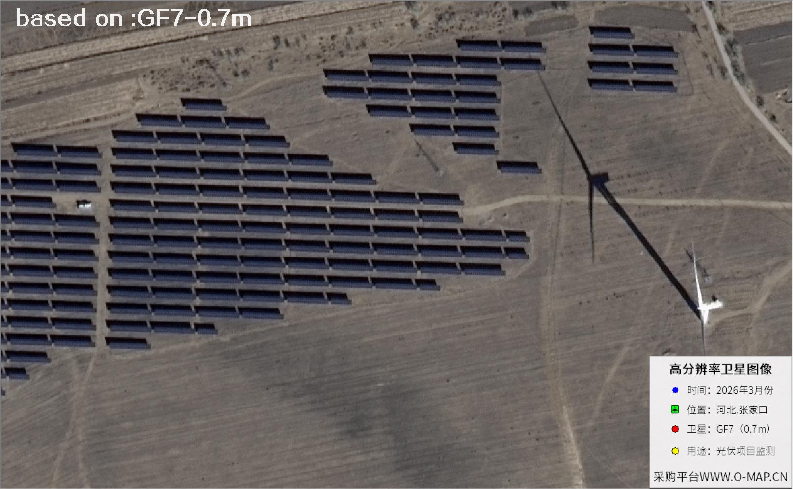
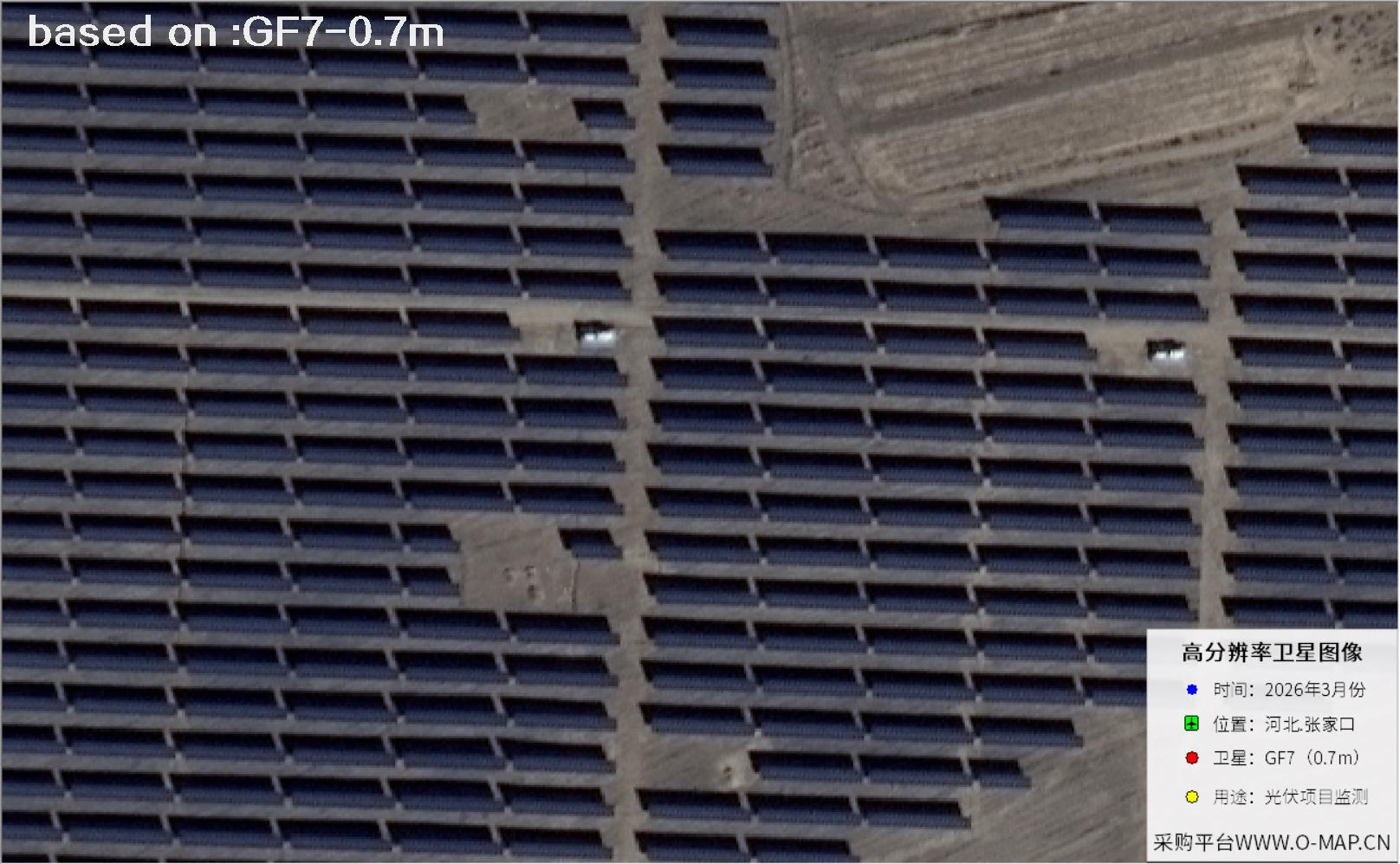
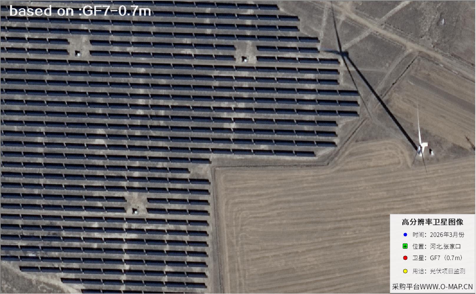
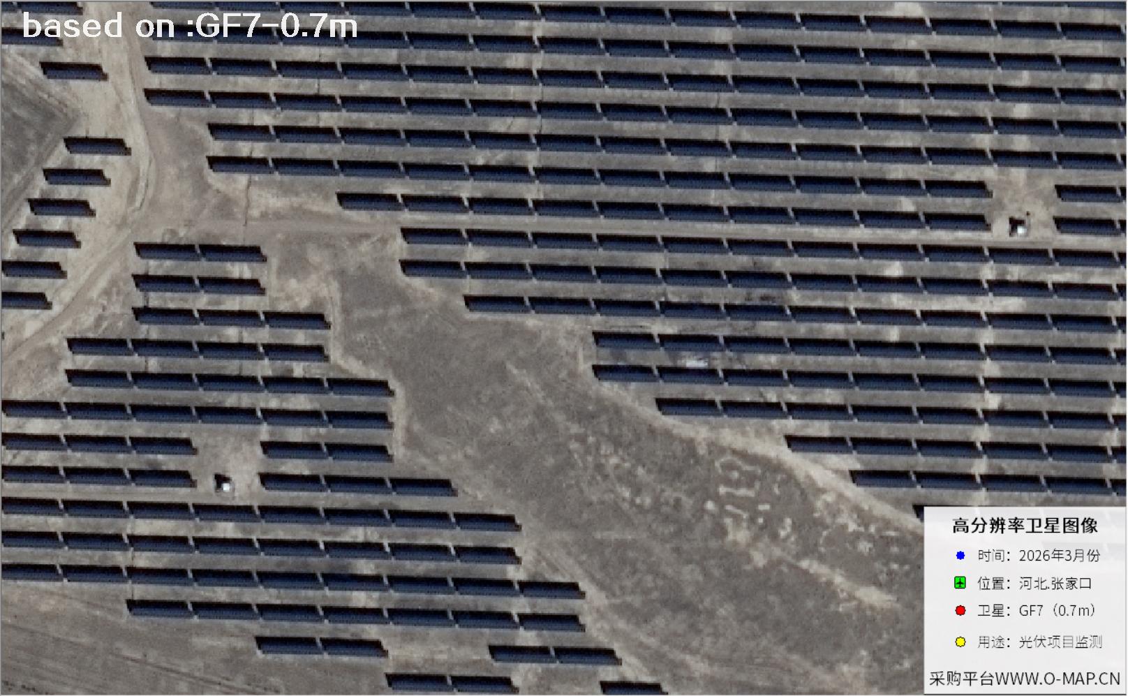
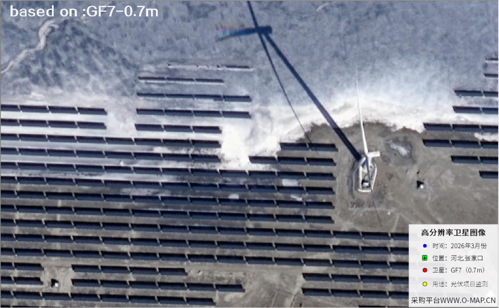
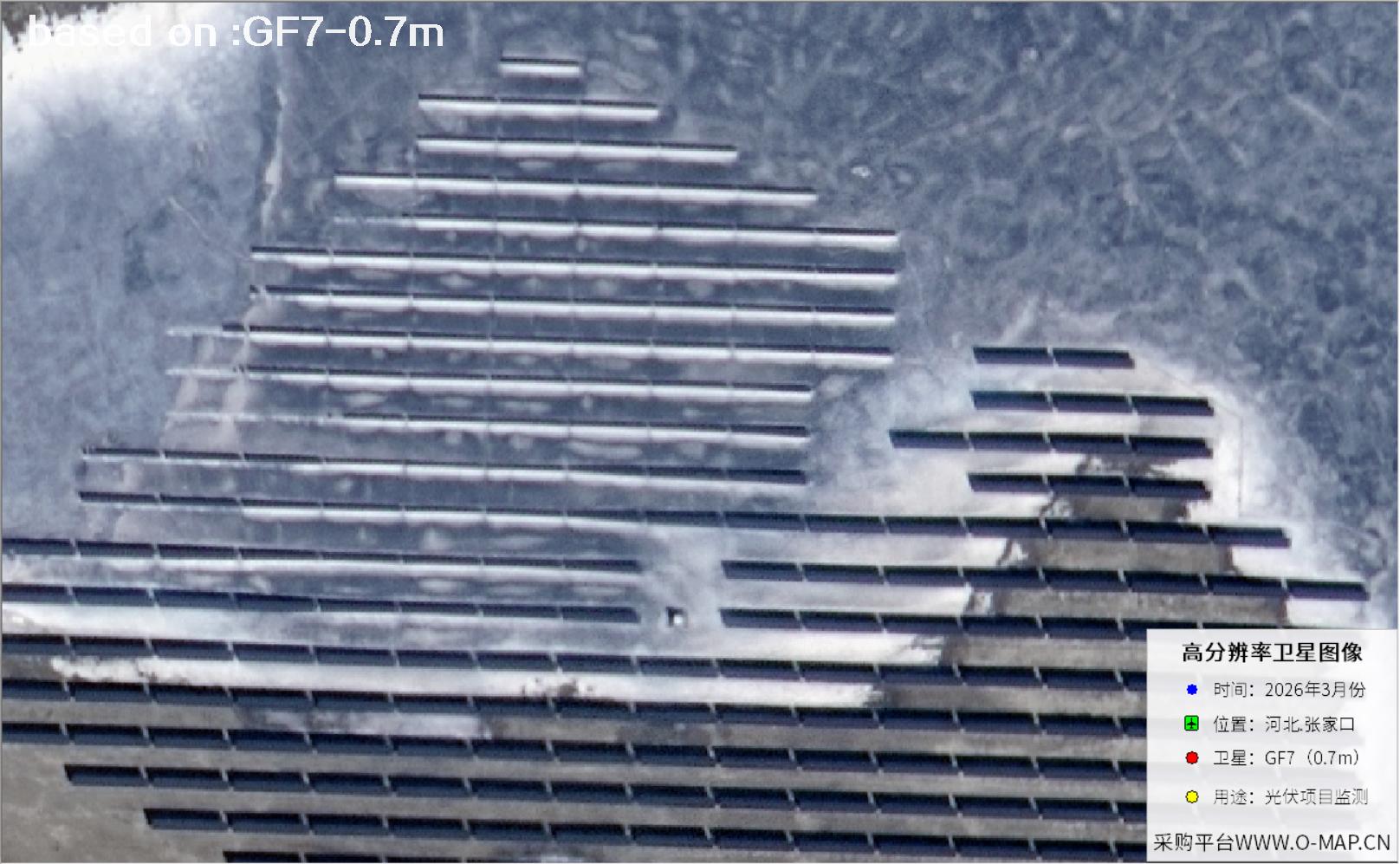
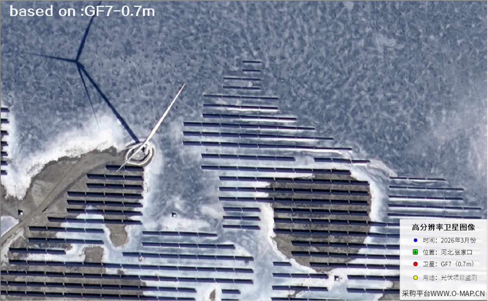
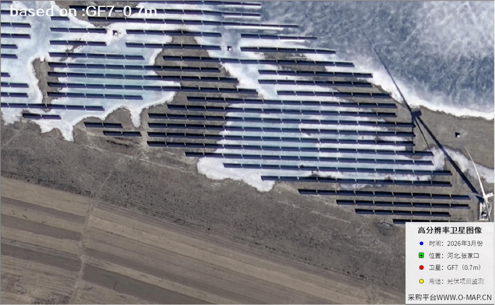
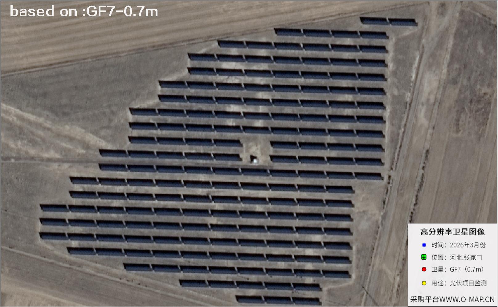
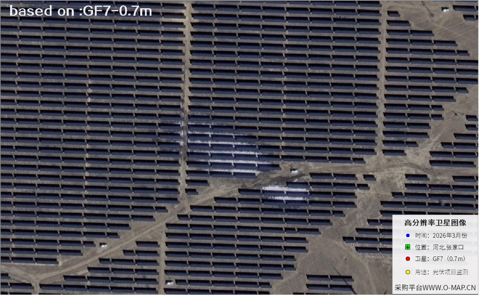
This is where high-resolution satellite imagery earns its place. At 0.7 m, an image resolves individual panel rows, the gaps between them, the direction of each string and much of the internal road network. Engineers can compare scenes from different dates, check whether the array has been extended, whether the ground has been eroded, or whether weeds and new buildings have started to shade the panels โ€” and from that, judge construction progress and operating condition. For site selection, construction acceptance, routine inspection and asset valuation, this view from above saves time and makes the whole picture easier to see. The images below were captured by GF7 over Zhangjiakou in 2026 at 0.7 m resolution.

๐Ÿ’ก Friendly tip: to purchase high-resolution satellite imagery, please contact our staff at Beijing OMap, or click search online for more satellite samples. One-on-one service, professional and quick.

Gaofen-7 (GF-7) is China's first civilian sub-metre high-resolution stereo mapping satellite. It lifted off from the Taiyuan Satellite Launch Center on 3 November 2019, carrying a dual-line-array stereo camera and a laser altimeter โ€” a combination that lets it see individual targets clearly and measure ground elevation accurately, and that supports 1:10,000 scale topographic mapping. Panchromatic resolution reaches 0.65 m and multispectral 2.6 m, with a swath of about 20 km, so a single pass can cover a large solar plant spread across a hillside.

For solar monitoring, GF7 contributes in three ways. It sees clearly: panel rows, string boundaries, internal roads and fences all show distinct texture and edges. It aligns precisely: high positional accuracy lets images from different years stack cleanly, so extensions, shading and surface change stand out. And it measures reliably: stereo pairs can extract terrain, revealing slope aspect, gradient and drainage โ€” useful for siting and soil conservation. In a place like Zhangjiakou, with its pronounced relief and large plants, GF7 imagery is often the first dataset pulled for site surveys, acceptance checks and periodic inspections.

๐Ÿ‘๏ธSee clearlyRows, strings, roads and fences resolve as distinct edges.
๐Ÿ“Align preciselyMulti-year scenes stack cleanly for change detection.
โ›ฐ๏ธMeasure reliablyStereo pairs reveal slope, aspect and drainage.
๐ŸŽฏ Resolution 0.65 m pan / 2.6 m MS KEY
๐Ÿš€ Launch 3 November 2019 KEY
๐Ÿ›ฐ๏ธ TypeStereo mapping satellite
๐Ÿ“ก SwathAbout 20 km
๐ŸŒ OrbitSun-synchronous, ~505 km
๐Ÿ”ง PayloadStereo camera + laser altimeter
๐ŸŒˆ BandsPan + B, G, R, NIR
๐Ÿ—บ๏ธ Mapping1:10,000 stereo mapping
๐Ÿ—๏ธ ApplicationsSolar, mapping, urban planning
๐Ÿ’พ FormatGeoTIFF / ortho products

๐Ÿ“Š Ground Detail Resolved (shorter bar = finer detail)

GF-7 sensor vs. sample imagery
Panchromatic0.65 m
Multispectral2.6 m
Imagery in gallery0.70 m
โ„น๏ธ At 0.65 m, one pixel covers roughly a coffee table โ€” enough to separate panel rows and service lanes.

๐Ÿ“กZhangjiakou Solar Panels in GF7 Imagery

Total 15 images

Click the โ›ถ button in the middle of any image to view it full screen. In full screen, press โ† โ†‘ for the previous image and โ†’ โ†“ for the next; press Esc to exit.

Gaofen-7 Satellite: Solar Panel Imagery of Zhangjiakou, Hebei 1 Sample
Zhangjiakou, Hebei Province, China โ€” GF7 Satellite Image 11 / 15
Gaofen-7 Satellite: Solar Panel Imagery of Zhangjiakou, Hebei 2 Sample
Zhangjiakou, Hebei Province, China โ€” GF7 Satellite Image 22 / 15
Gaofen-7 Satellite: Solar Panel Imagery of Zhangjiakou, Hebei 3 Sample
Zhangjiakou, Hebei Province, China โ€” GF7 Satellite Image 33 / 15
Gaofen-7 Satellite: Solar Panel Imagery of Zhangjiakou, Hebei 4 Sample
Zhangjiakou, Hebei Province, China โ€” GF7 Satellite Image 44 / 15
Gaofen-7 Satellite: Solar Panel Imagery of Zhangjiakou, Hebei 5 Sample
Zhangjiakou, Hebei Province, China โ€” GF7 Satellite Image 55 / 15
Gaofen-7 Satellite: Solar Panel Imagery of Zhangjiakou, Hebei 6 Sample
Zhangjiakou, Hebei Province, China โ€” GF7 Satellite Image 66 / 15
Gaofen-7 Satellite: Solar Panel Imagery of Zhangjiakou, Hebei 7 Sample
Zhangjiakou, Hebei Province, China โ€” GF7 Satellite Image 77 / 15
Gaofen-7 Satellite: Solar Panel Imagery of Zhangjiakou, Hebei 8 Sample
Zhangjiakou, Hebei Province, China โ€” GF7 Satellite Image 88 / 15
Gaofen-7 Satellite: Solar Panel Imagery of Zhangjiakou, Hebei 9 Sample
Zhangjiakou, Hebei Province, China โ€” GF7 Satellite Image 99 / 15
Gaofen-7 Satellite: Solar Panel Imagery of Zhangjiakou, Hebei 10 Sample
Zhangjiakou, Hebei Province, China โ€” GF7 Satellite Image 1010 / 15
Gaofen-7 Satellite: Solar Panel Imagery of Zhangjiakou, Hebei 11 Sample
Zhangjiakou, Hebei Province, China โ€” GF7 Satellite Image 1111 / 15
Gaofen-7 Satellite: Solar Panel Imagery of Zhangjiakou, Hebei 12 Sample
Zhangjiakou, Hebei Province, China โ€” GF7 Satellite Image 1212 / 15
Gaofen-7 Satellite: Solar Panel Imagery of Zhangjiakou, Hebei 13 Sample
Zhangjiakou, Hebei Province, China โ€” GF7 Satellite Image 1313 / 15
Gaofen-7 Satellite: Solar Panel Imagery of Zhangjiakou, Hebei 14 Sample
Zhangjiakou, Hebei Province, China โ€” GF7 Satellite Image 1414 / 15
Gaofen-7 Satellite: Solar Panel Imagery of Zhangjiakou, Hebei 15 Sample
Zhangjiakou, Hebei Province, China โ€” GF7 Satellite Image 1515 / 15
๐Ÿ”Ž Good to know: satellite image clarity depends on weather, season, sun elevation and viewing angle, target size and ground texture. The same solar site can look different in colour, shadow and detail from one pass to the next; thin cloud, haze or snow will reduce contrast across the panel rows. Comparing several dates gives a more reliable reading, and the original data product remains the reference.

๐ŸŽฏWhat Else Can You Spot?

These ground targets read clearly in Gaofen-7 imagery. Pick a topic to see more.