Hangzhou 2003 OrbView Satellite Historical Imagery Map
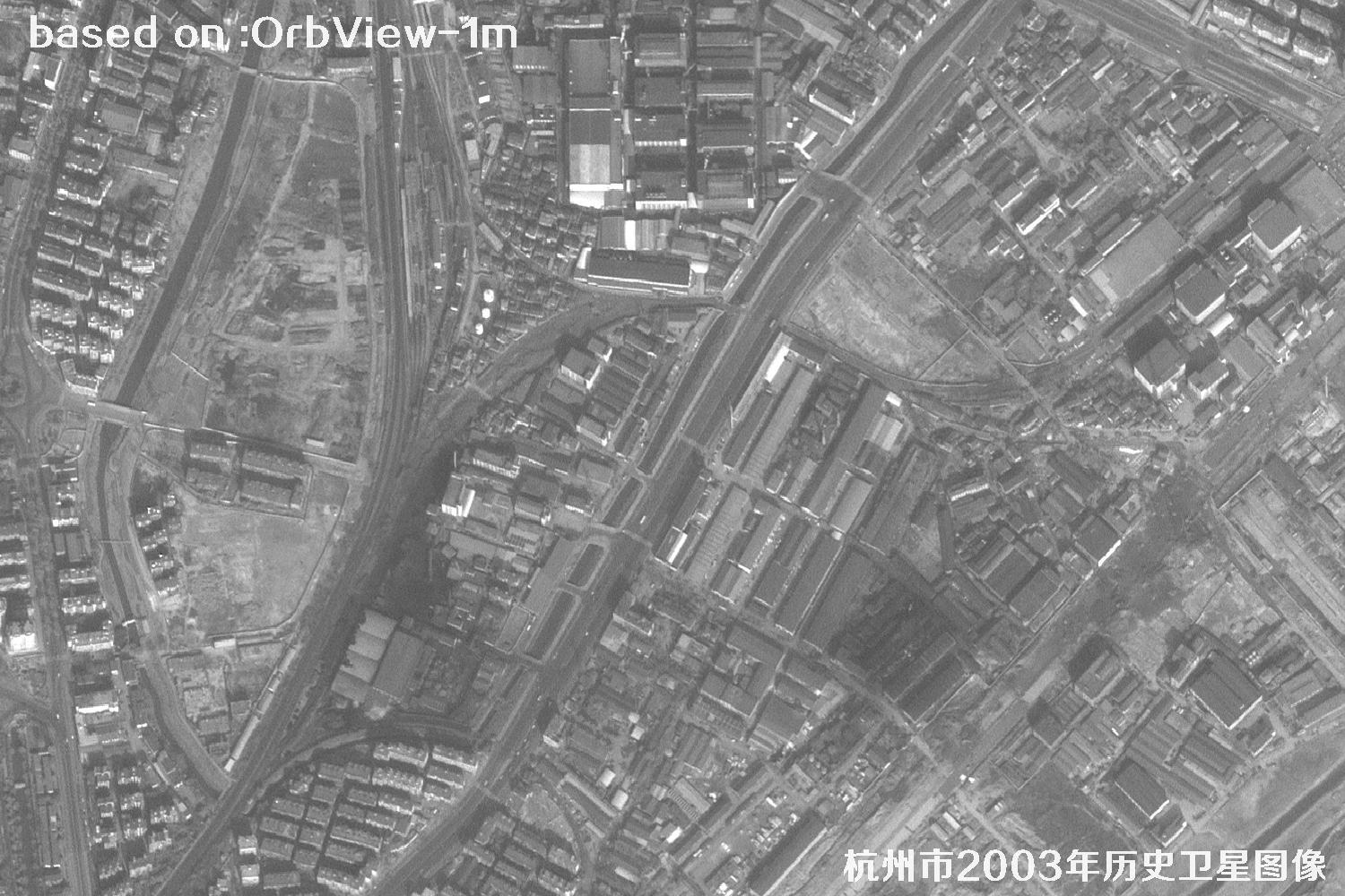
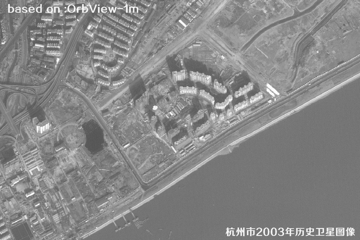
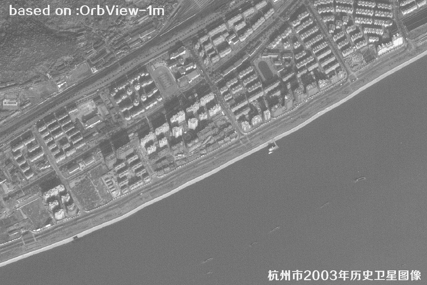
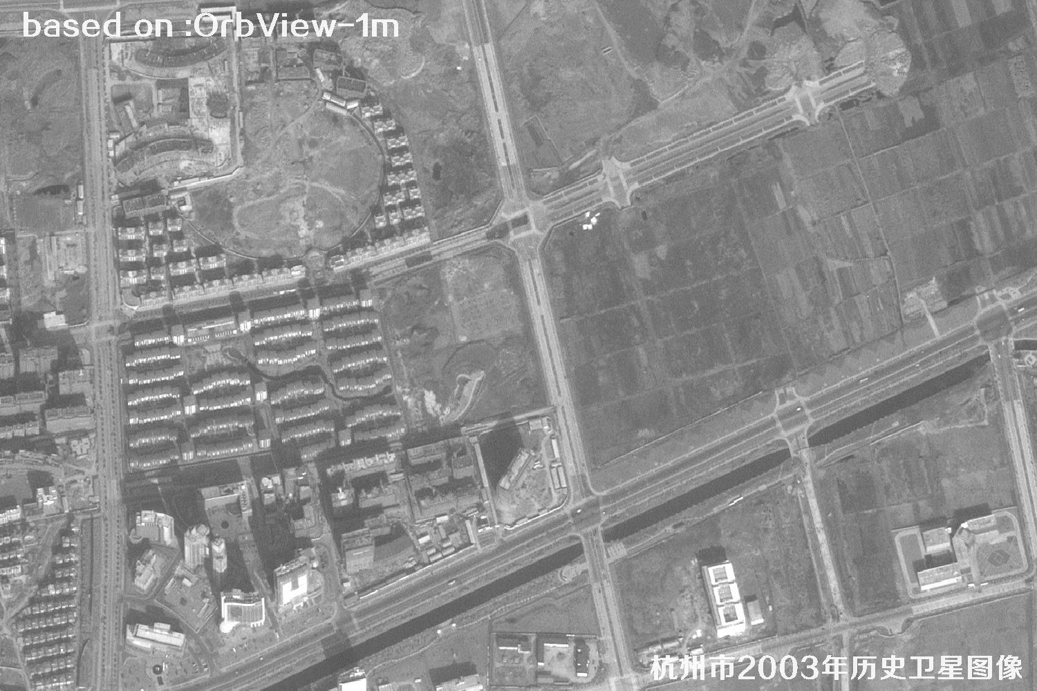
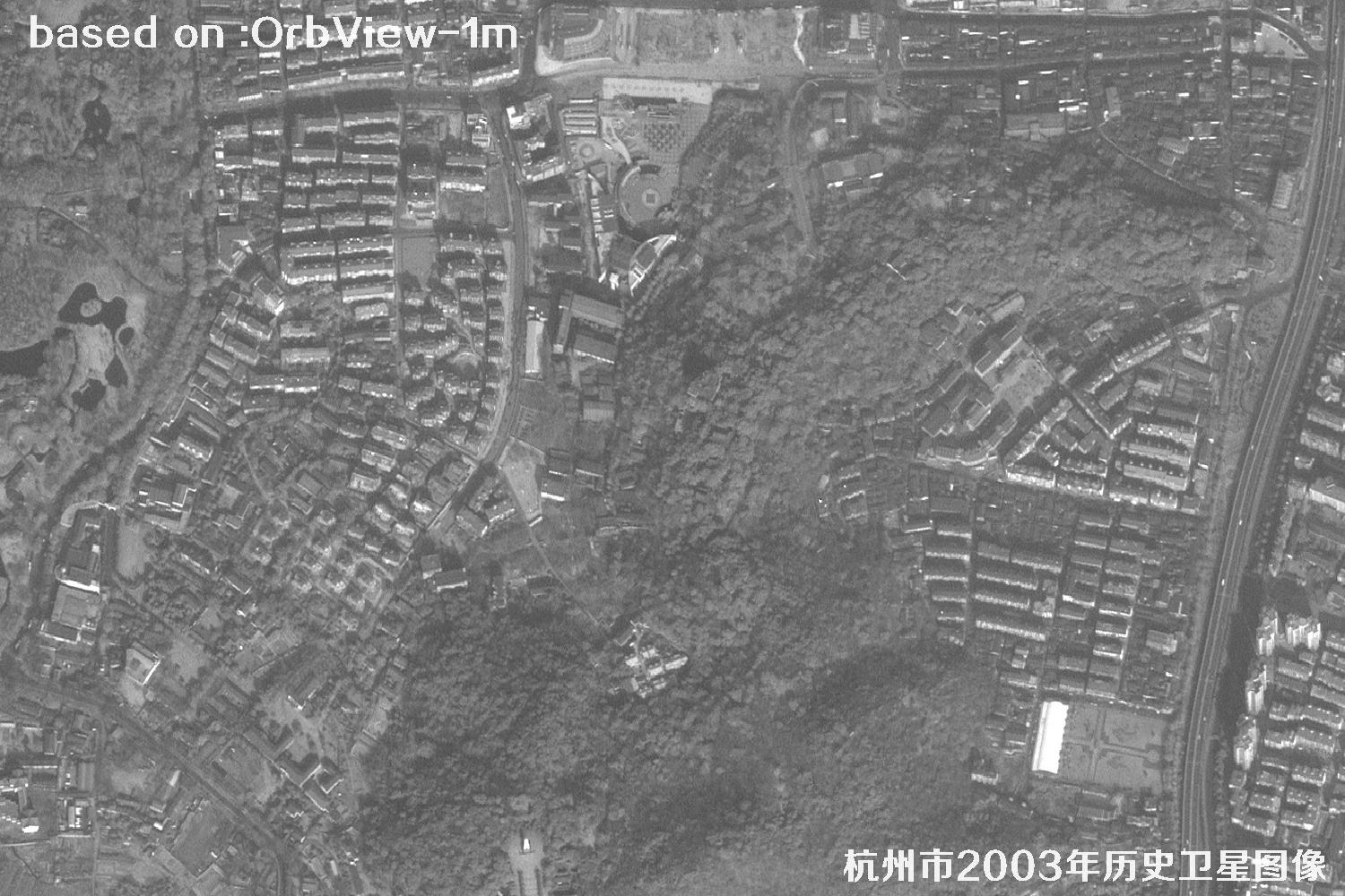
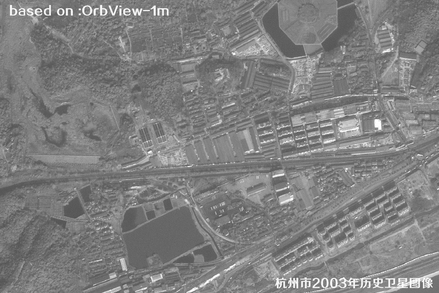
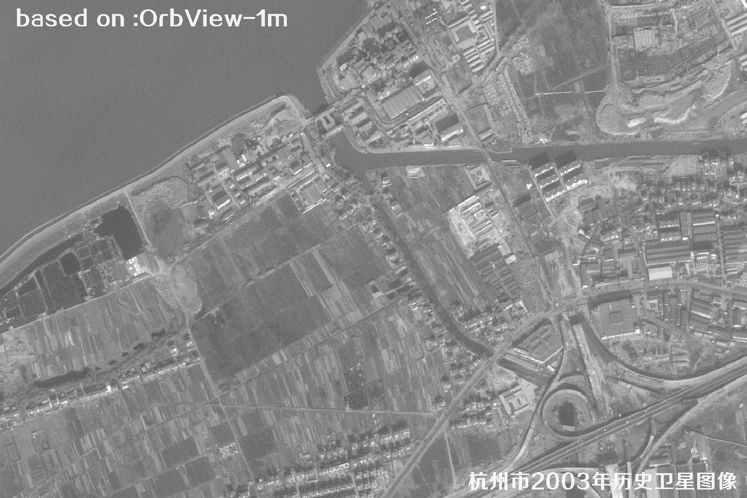
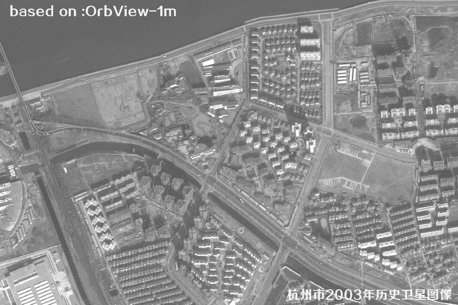
Hangzhou, long praised as a paradise on earth, is a lakeside city in eastern China along the lower Qiantang River and at the southern end of the Beijing-Hangzhou Grand Canal, where mountains, lakes and rivers meet. In 2003, Hangzhou's urban layout was accelerating from the West Lake era toward the Qiantang River era: mountains around West Lake, the Qiantang riverfront, both canal banks and historic streets formed its distinctive urban fabric. With 1-meter OrbView historical satellite imagery, viewers can clearly observe the road network, building distribution, farmland and forests, and rivers and lakes of that year. These images provide direct evidence for urban-change research, historic preservation, territorial spatial planning and geographic-information comparison.
Unlike ordinary maps, historical satellite imagery is like a time capsule: it freezes ground conditions from more than twenty years ago, allowing planners, researchers and general readers to rediscover Hangzhou at both broad and detailed levels. The following images are 1-meter historical satellite views of Hangzhou acquired by the U.S. OrbView satellite in 2003.
OrbView-3 was a commercial high-resolution optical remote-sensing satellite launched by ORBIMAGE of the United States in 2003, and it became an important commercial remote-sensing mission of the early 21st century. It carried panchromatic and multispectral sensors, providing 1-meter panchromatic imagery and 4-meter multispectral imagery with an approximately 8-km swath. Its data were widely used for urban planning, land and natural-resource surveys, agricultural and forestry monitoring, disaster assessment, mapping and cartography.
Although the satellite is no longer operational, its archived imagery remains an important historical reference, especially for comparing urban expansion, land-use change and major projects before and after construction. For a fast-growing lakeside city such as Hangzhou, the 2003 imagery preserves a valuable and direct visual record of urban spatial evolution.
| Panchromatic resolution | 1 meterKEY PARAMETER |
| Launch date | June 26, 2003KEY PARAMETER |
| Satellite | OrbView-3 (OrbView series) |
| Multispectral resolution | 4 meters |
| Orbital altitude | About 470 km |
| Orbit type | Sun-synchronous orbit |
| Imaging swath | About 8 km |
| Revisit period | About 3 days |
| Spectral bands | Panchromatic, blue, green, red and near-infrared |
| Typical applications | Urban planning, agriculture and forestry, disaster assessment, base mapping and historical-image comparison |
Hangzhou Historical Satellite Images from 2003 Total: 15 images
ORBVIEW · 1-METER PANCHROMATIC · HANGZHOU / 15 ARCHIVED FRAMES
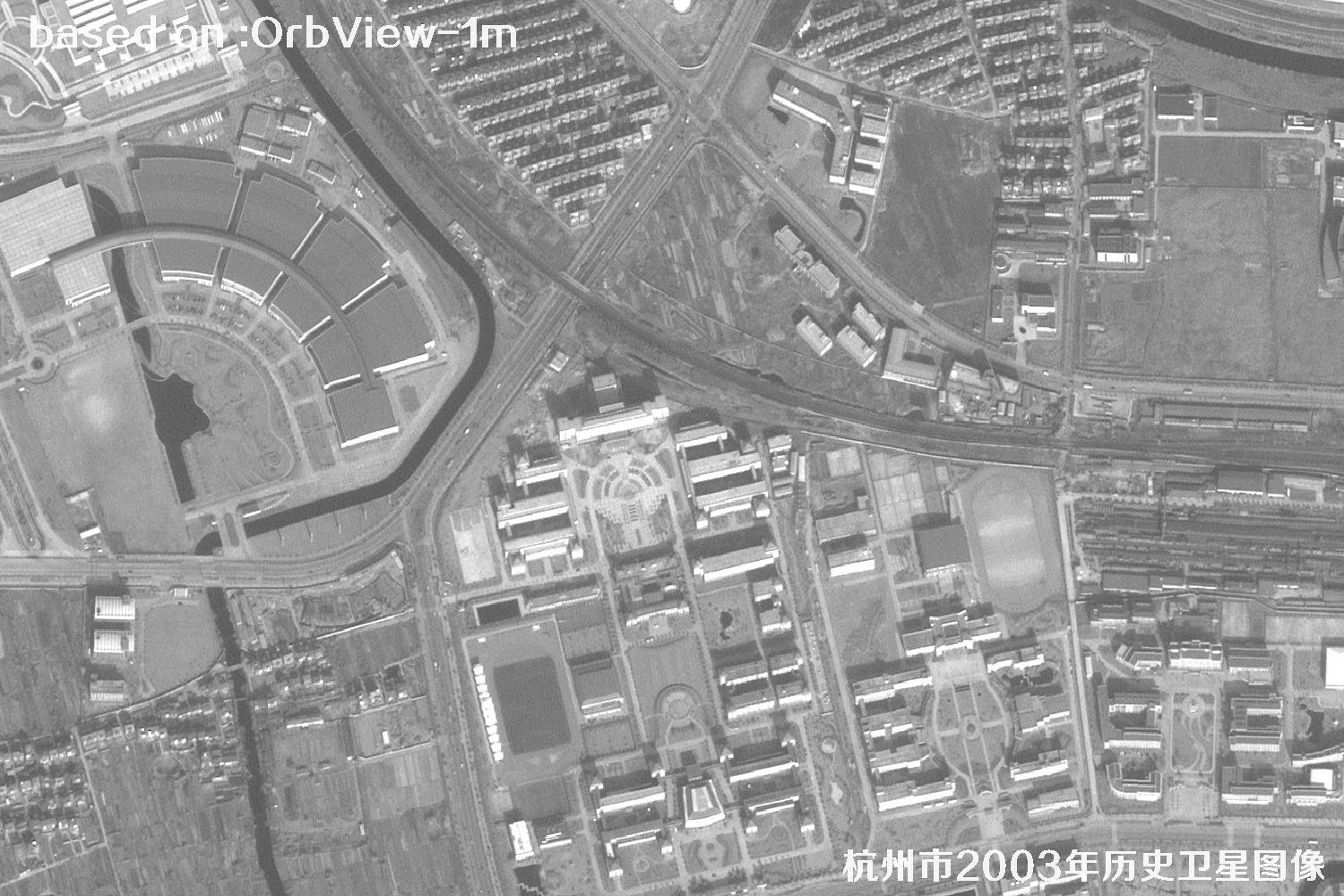 Sample
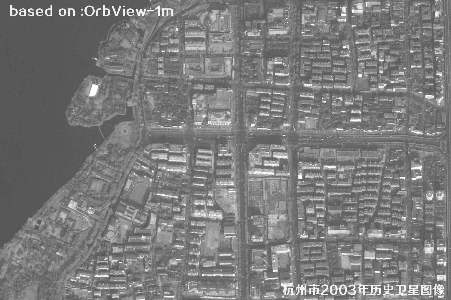 Sample
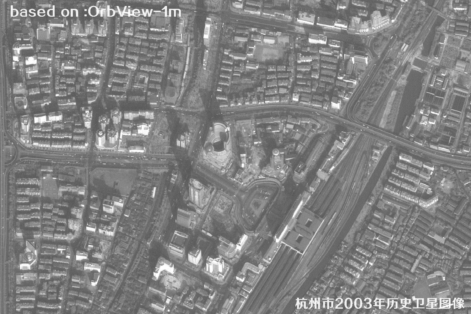 Sample
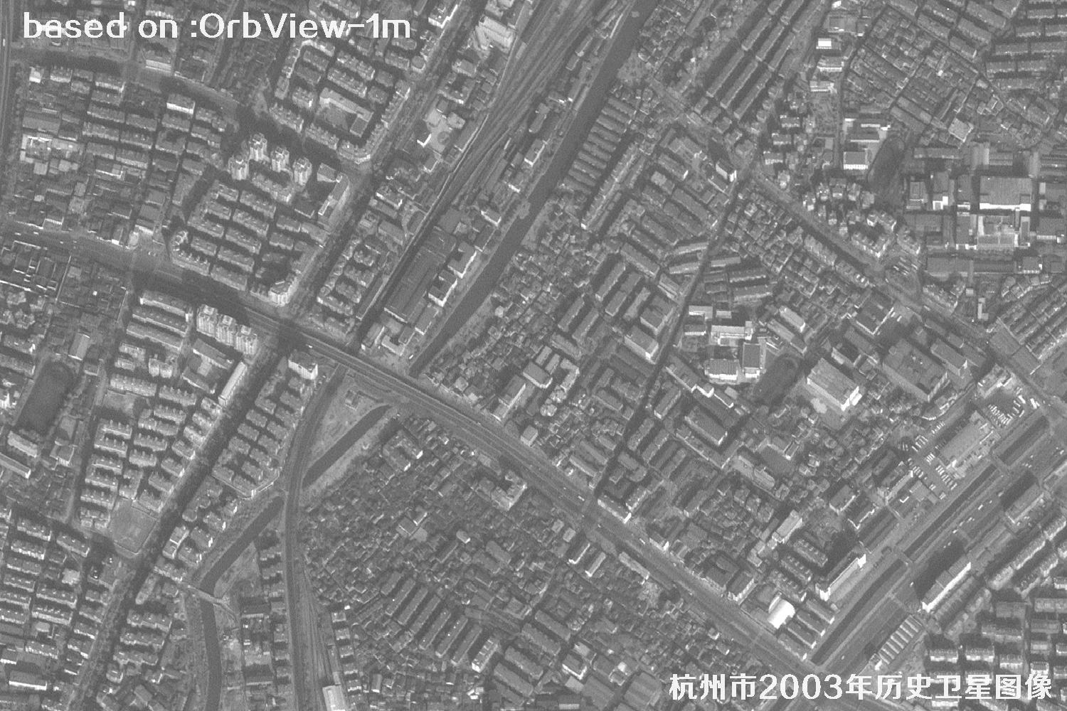 Sample
 Sample
 Sample
 Sample
 Sample
 Sample
 Sample
 Sample
 Sample
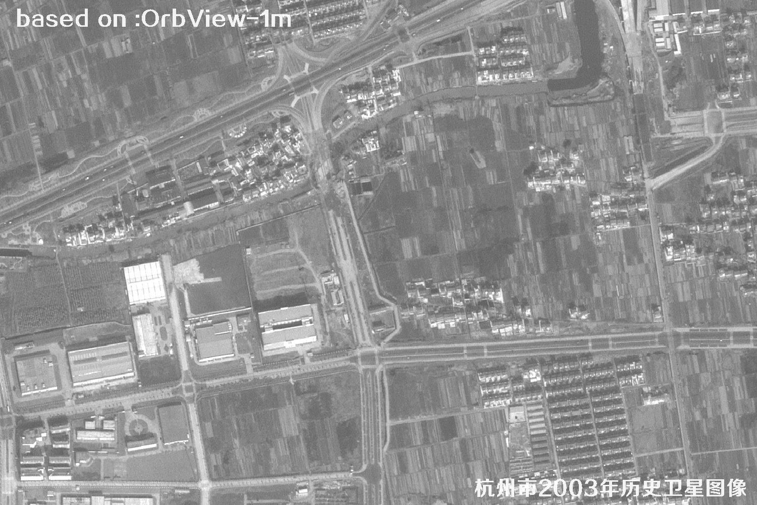 Sample
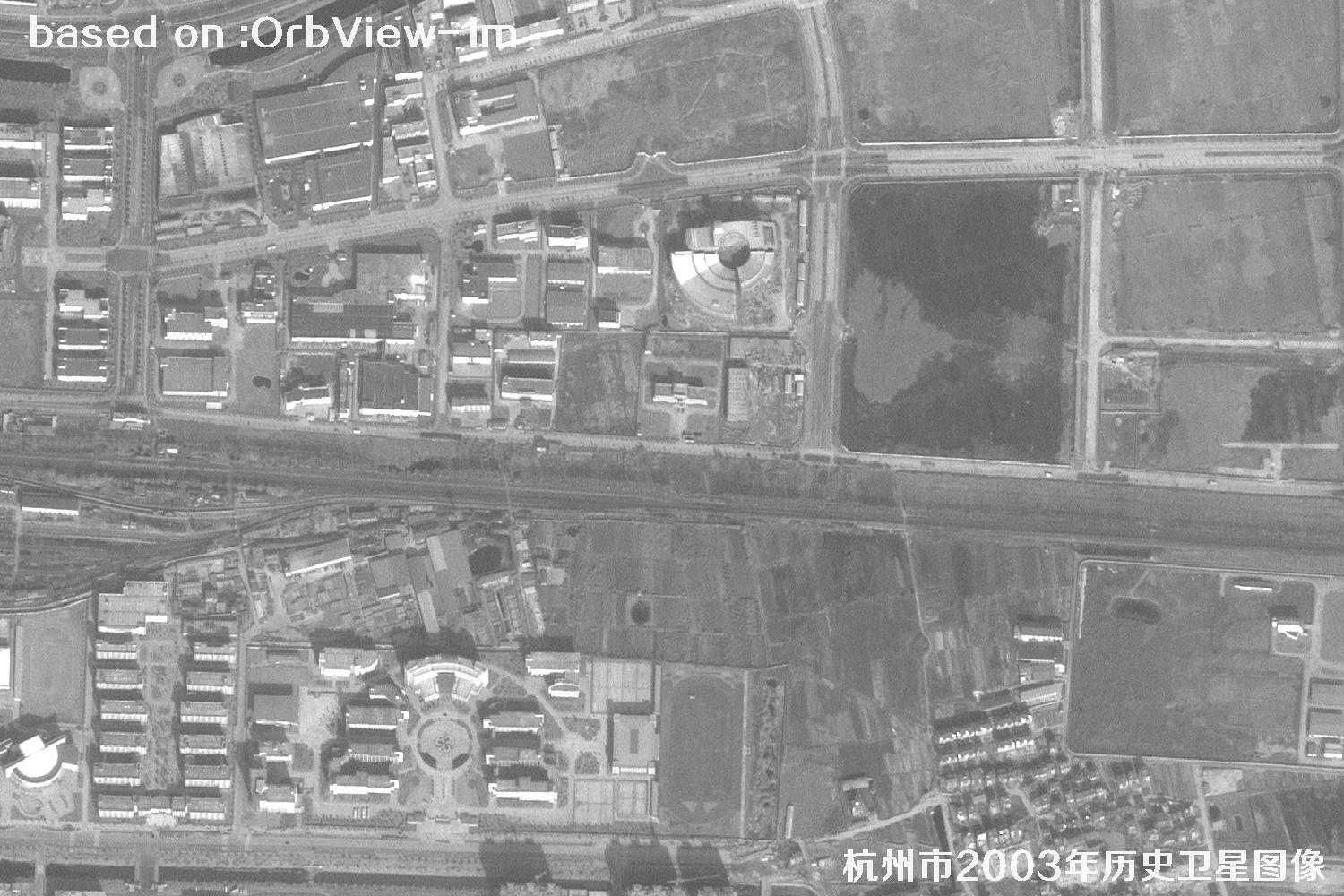 Sample
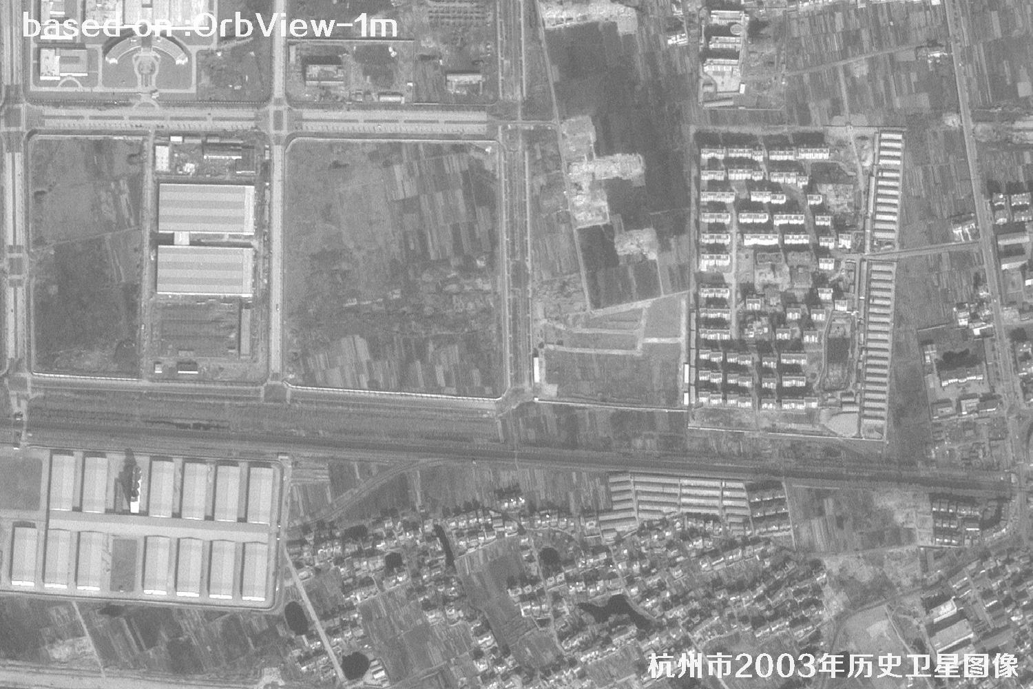 Sample
Please note:The apparent clarity of satellite imagery can be affected by weather, season, solar elevation, viewing angle, target size, surface reflectance and other factors. This page presents historical archived imagery, so imaging quality may vary by area. Colors and textures are intended to represent surface features; please refer to the original image data for details.
Satellite Image Object Recognition
From urban fabric to road details, choose an object category and open its topic to see typical recognition targets in satellite imagery.