- 🛰️ Satellite: OrbView
- 📷 Acquired: 2004
- 📍 Location: Chengdu, Sichuan, China
- 🗺️ Use: Historical satellite map
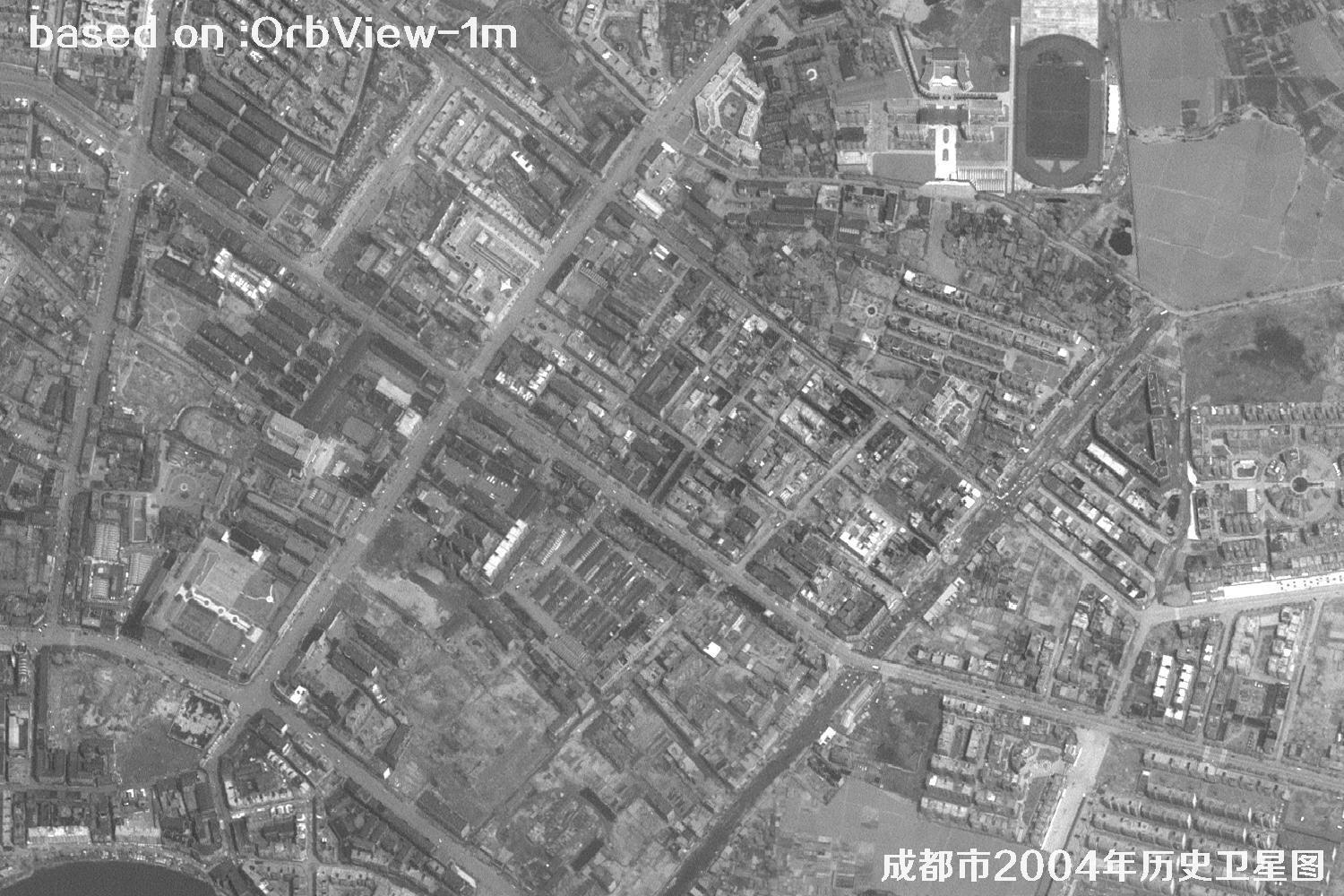
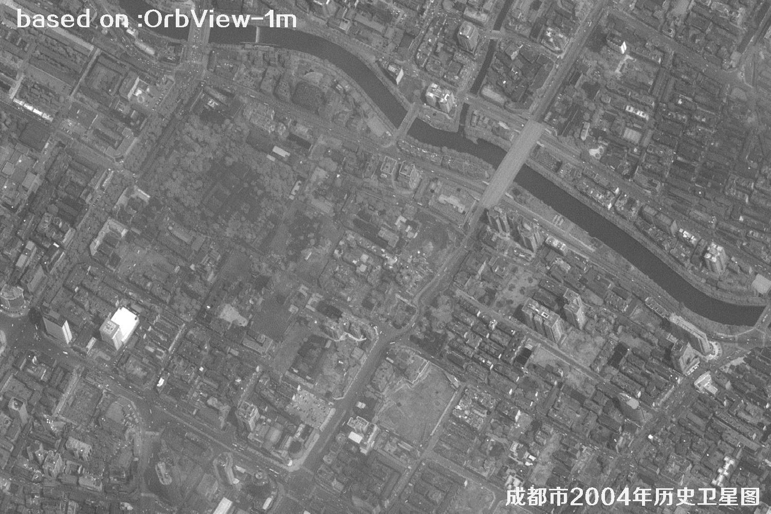
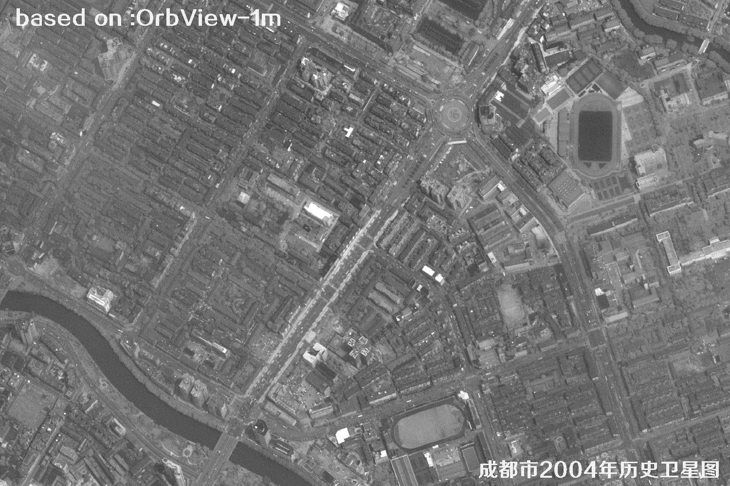
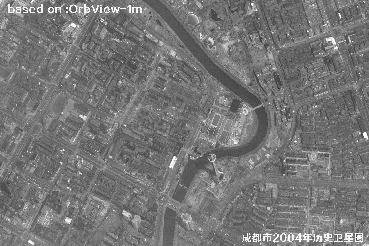
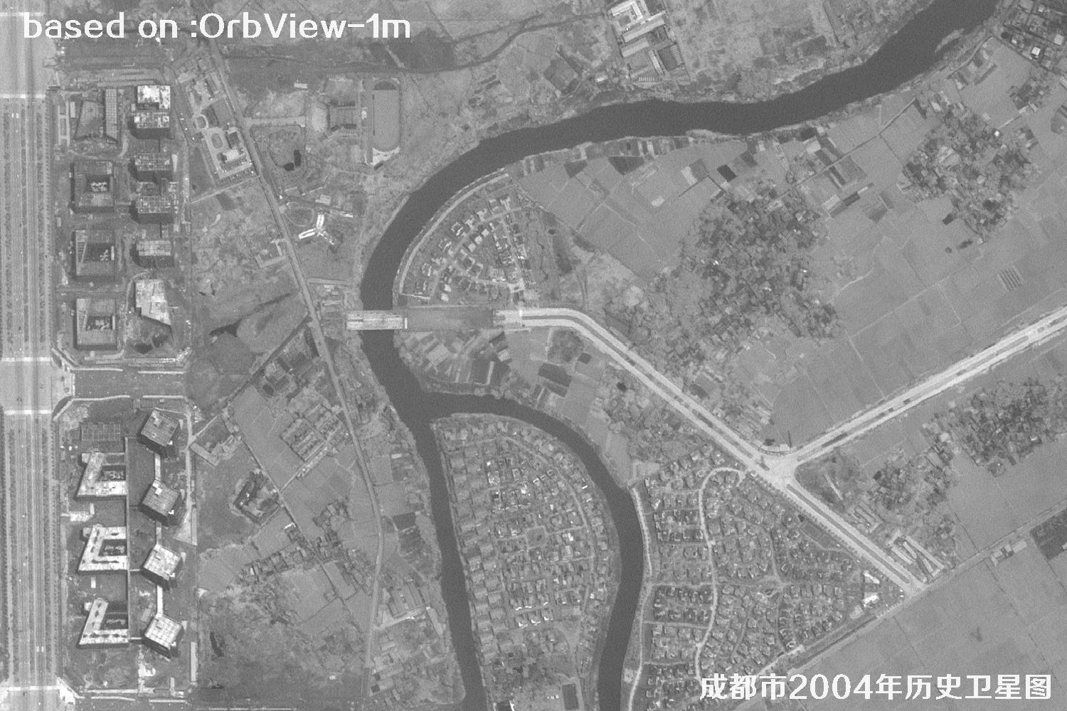
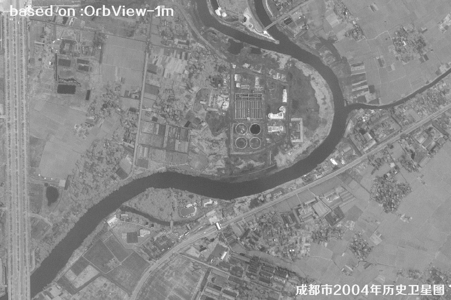
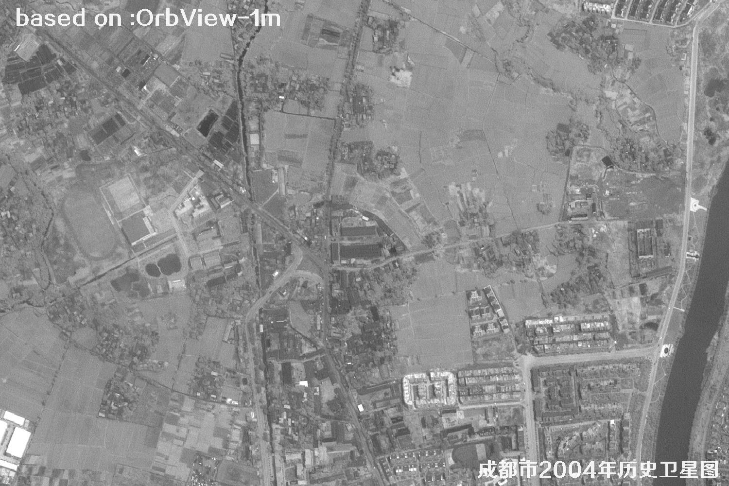
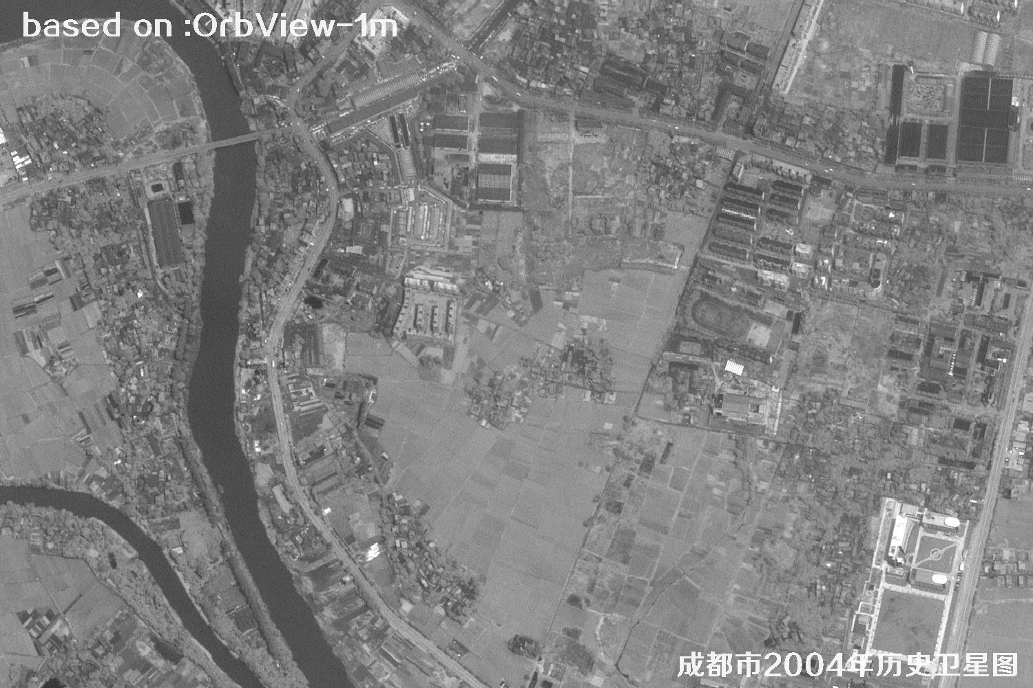
Chengdu, capital of Sichuan Province in China and heart of the Land of Abundance, has over 2,300 years of history. Kuanzhai Alley, Jinli and Chunxi Road are full of street life, while electronics, auto and creative industries cluster here. In 2004 the city stood on the eve of big construction: the Ring Expressway had just closed its loop, the Second Ring Road was busy, the southward extension of Tianfu Avenue began, cranes rose in the southern new district, and the incubation park in the High-tech Zone glowed at night. The old town stayed low and compact, with lanes around Qingyang Palace, Wuhou Shrine and Du Fu Thatched Cottage unchanged, and teahouses serving gaiwan tea as always. From above, the Jinjiang River crossed the city and farmland interlocked with urban blocks — the moment when leisurely Chengdu started turning into a global city, street life meeting construction sites. The images below are 1-meter historical satellite images of Chengdu captured by the OrbView satellite in 2004.
OrbView is a commercial high-resolution optical satellite series operated by OrbImage of the United States (now GeoEye). OrbView-3, launched in 2003, offers 1-m panchromatic and 4-m multispectral imagery with an 8-km swath and less than 3-day revisit. It captured precious views of western China around 2004 — a space witness to Chengdu's transformation.
| 🎯 Resolution | 1-m pan / 4-m MS, Chengdu blocks, roads and factories clearly visible |
|---|---|
| 🚀 Launch date | June 26, 2003 (OrbView-3, Pegasus XL rocket) |
| 🛰️ Orbit | 470 km sun-synchronous orbit |
| 📡 Swath / Revisit | 8 km / about 3 days |
| 📷 Bands | Pan + blue, green, red, NIR |
| 🗺️ Archive | 2003–2007 global archive, including Chengdu 2004 |
🏙️ Chengdu 2004 Satellite Images Total: 15 shown
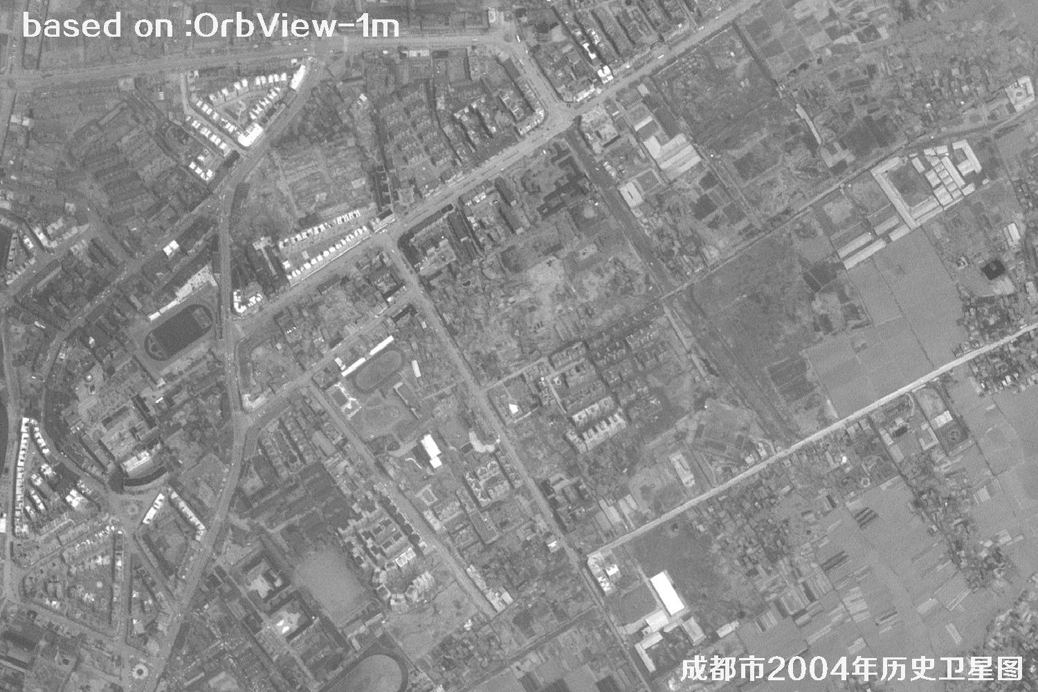 Sample
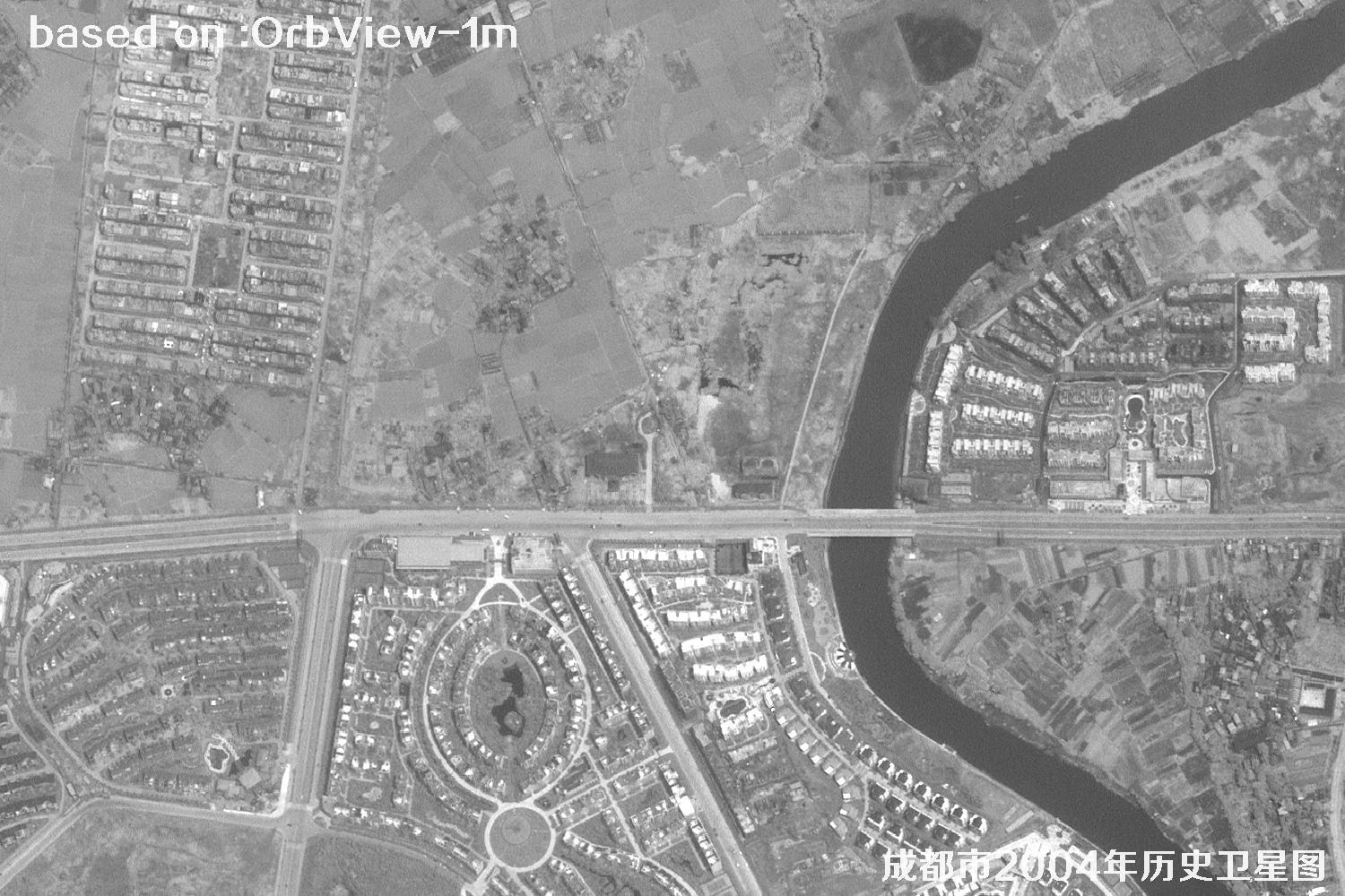 Sample
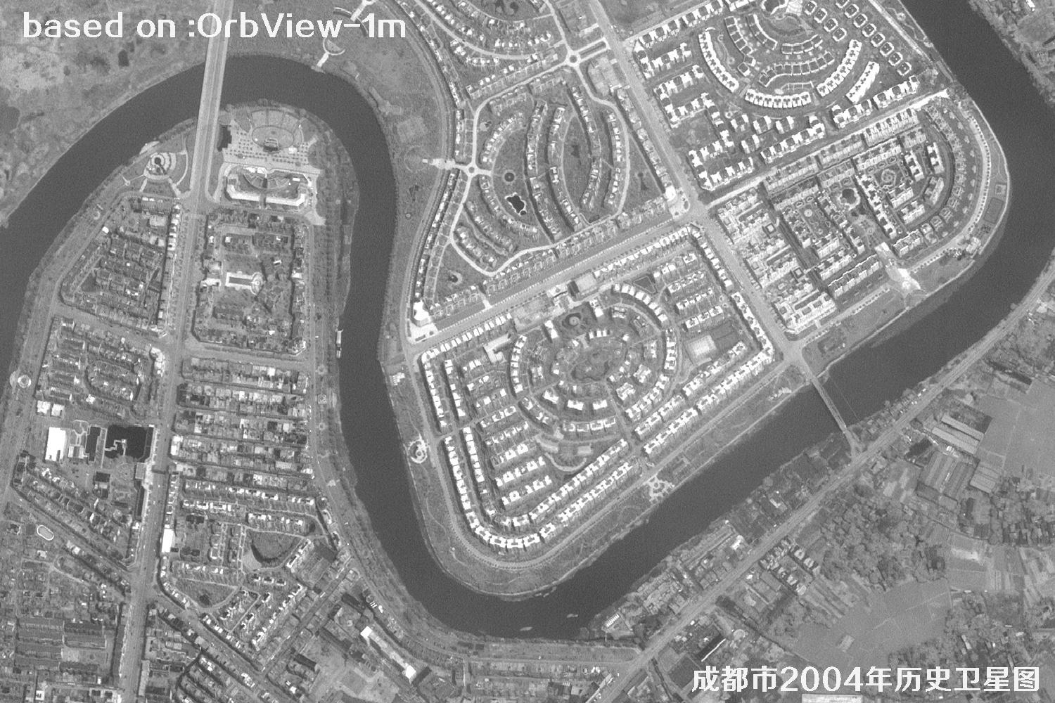 Sample
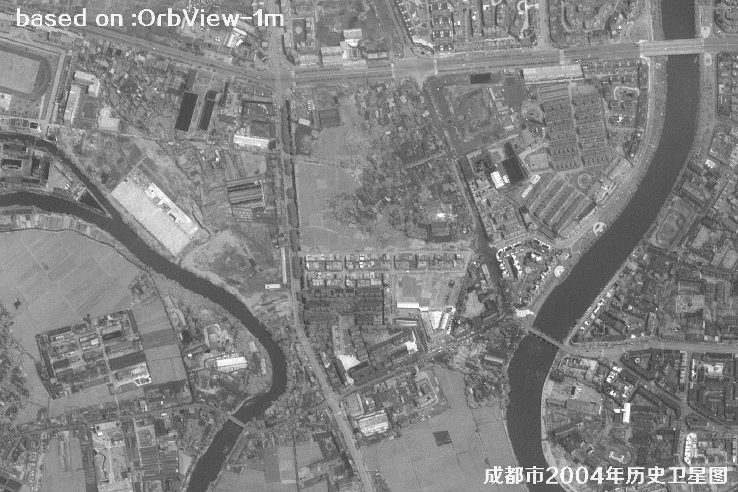 Sample
 Sample
 Sample
 Sample
 Sample
 Sample
 Sample
 Sample
 Sample
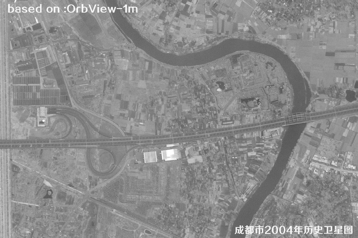 Sample
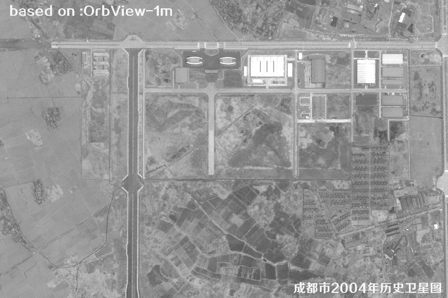 Sample
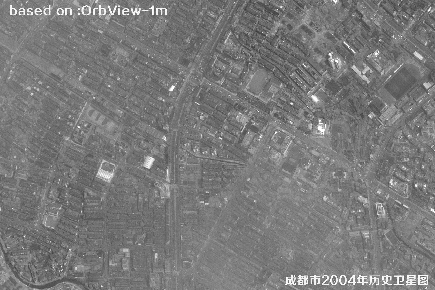 Sample