- 🛰️ Satellite: OrbView
- 📷 Acquired: 2006
- 📍 Location: Baotou City, Inner Mongolia, China
- 🗺️ Use: Historical satellite map
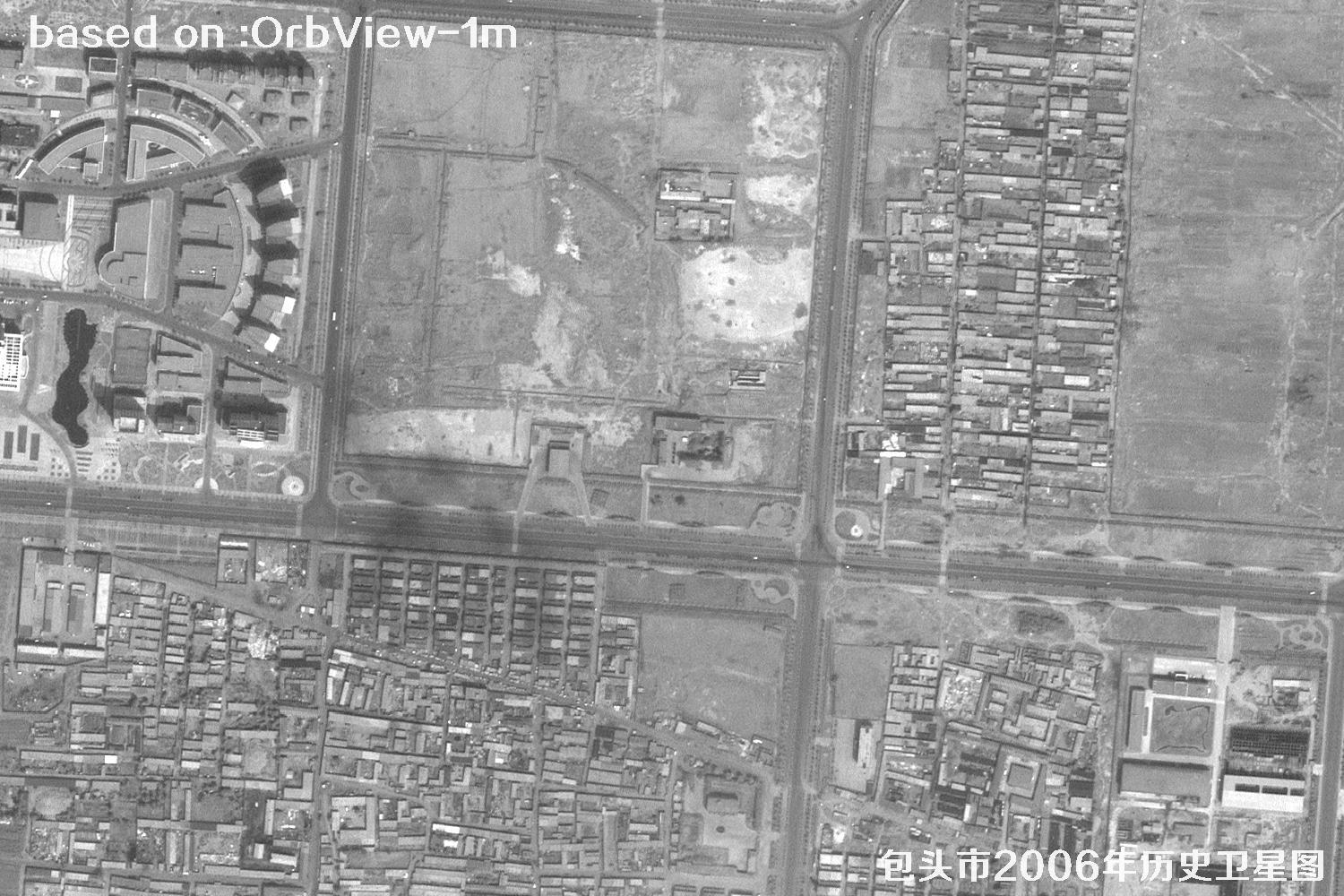
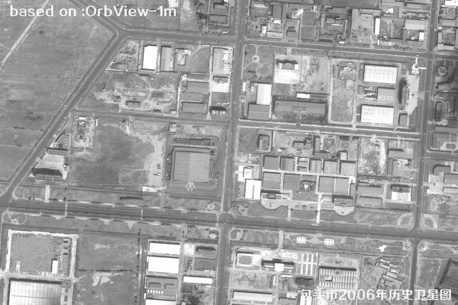
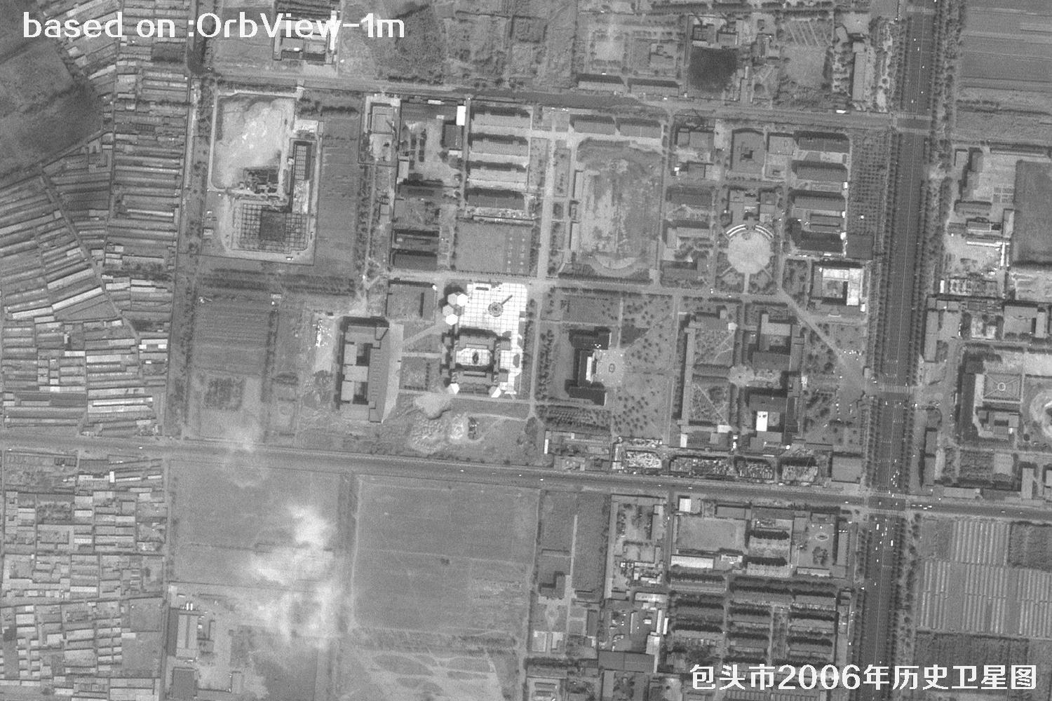
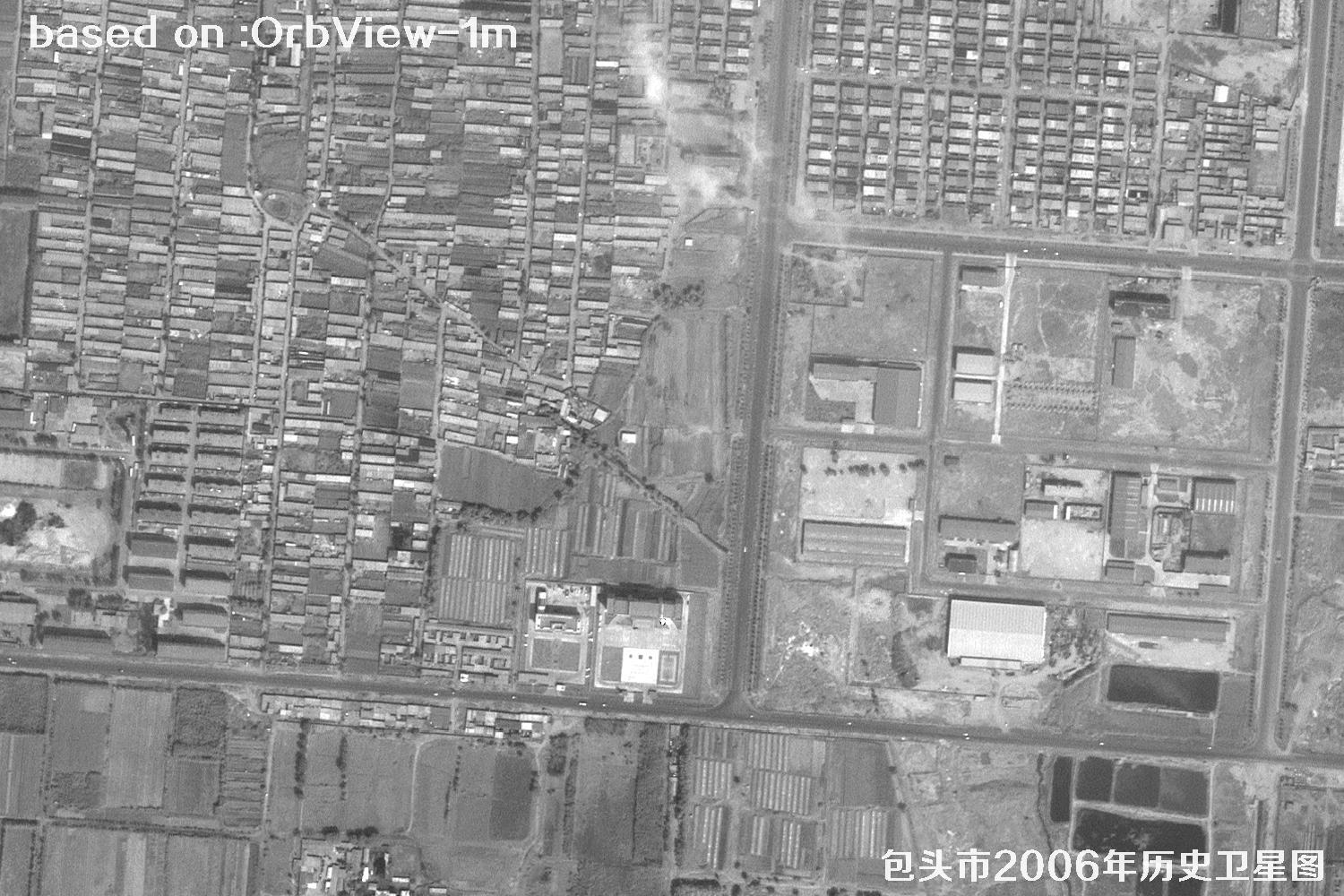
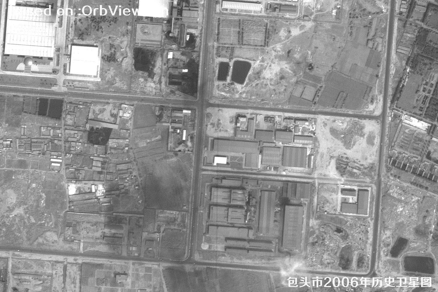
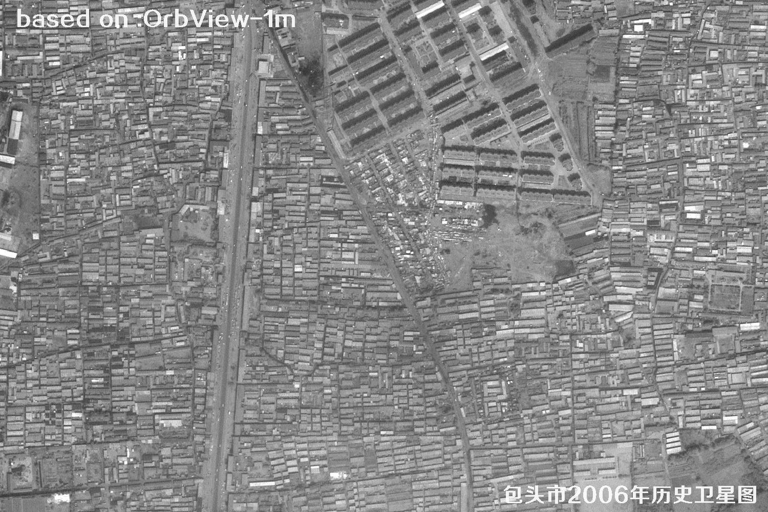
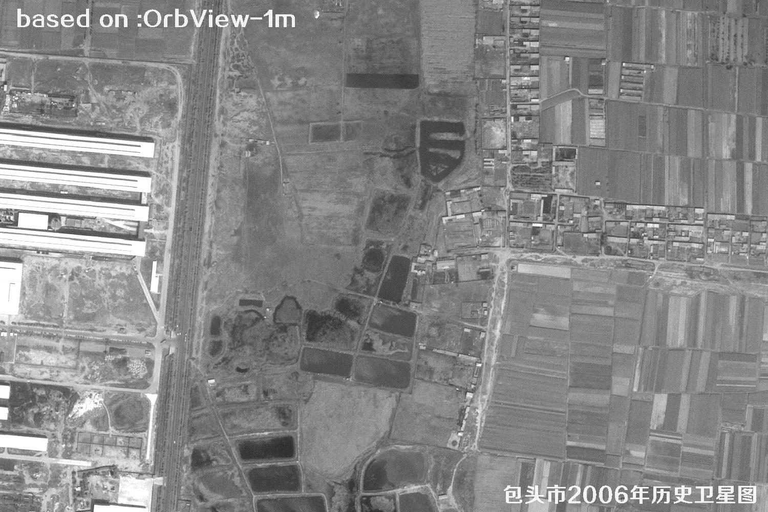
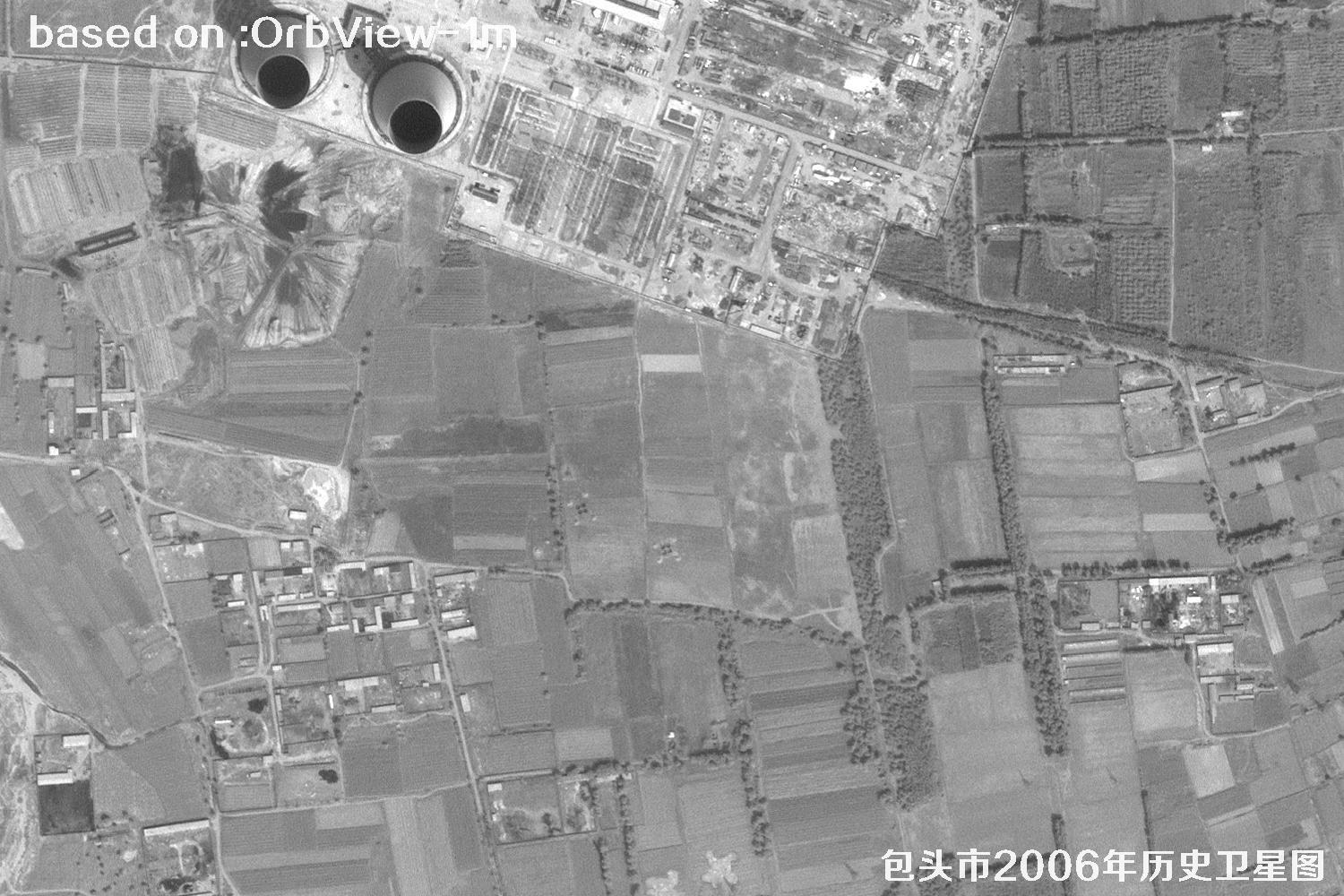
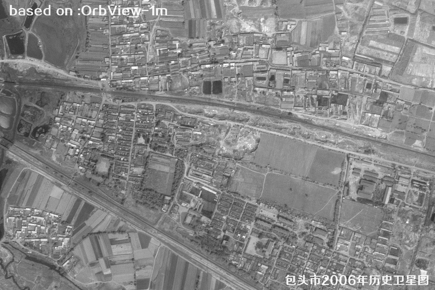
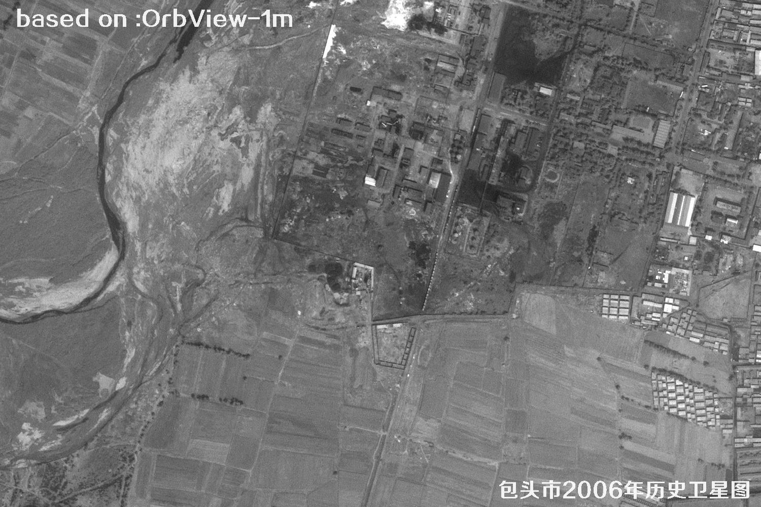
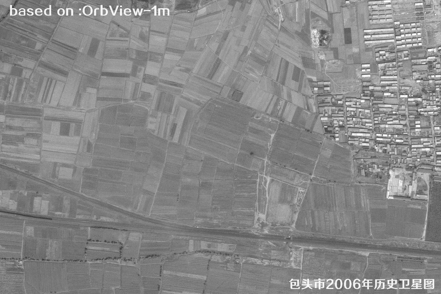
2000–2015 was the golden age of commercial high-resolution satellites. IKONOS, QuickBird and OrbView made 1-meter historical imagery possible. They faithfully recorded urban expansion, farmland change and major projects, providing ever-valuable old negatives for land surveys, urban planning and change detection in China — the older, the more precious. Baotou, the largest industrial city in Inner Mongolia, China, is known as the Grassland Steel City and Rare-Earth Capital. The Yellow River runs through it, and Kundulun, Qingshan and Donghe districts each have their own character, a key hub in North China. The images below are 1-meter historical satellite images of Baotou City, Inner Mongolia, captured by the OrbView satellite in 2006.
OrbView is a commercial high-resolution optical satellite series operated by OrbImage of the United States (now GeoEye). OrbView-3, launched in 2003, offers 1-m panchromatic and 4-m multispectral imagery with an 8-km swath and less than 3-day revisit. Following IKONOS, it built a large global urban archive from 2000 to 2015 — a precious eye for looking back at Baotou in 2006.
| 🎯 Resolution | 1-m pan / 4-m MS, Baotou blocks, streets and plants clearly visible |
|---|---|
| 🚀 Launch date | June 26, 2003 (OrbView-3, Pegasus XL rocket) |
| 🛰️ Orbit | 470 km sun-synchronous orbit |
| 📡 Swath / Revisit | 8 km / about 3 days |
| 📷 Bands | Pan + blue, green, red, NIR |
| 🗺️ Archive | 2003–2007 global archive, including Baotou 2006 |
🌍 Baotou 2006 Satellite Images Total: 15 shown
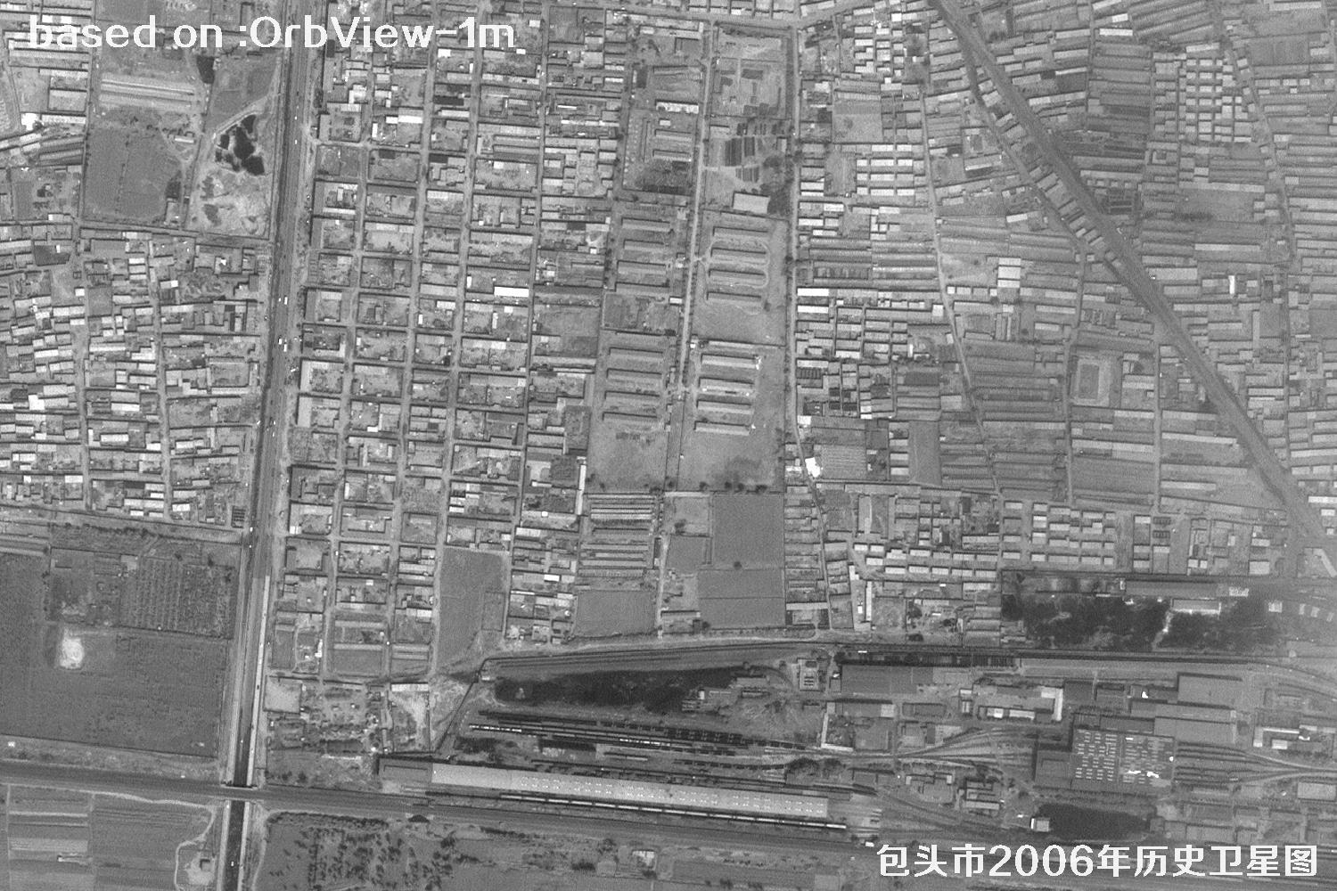 Sample
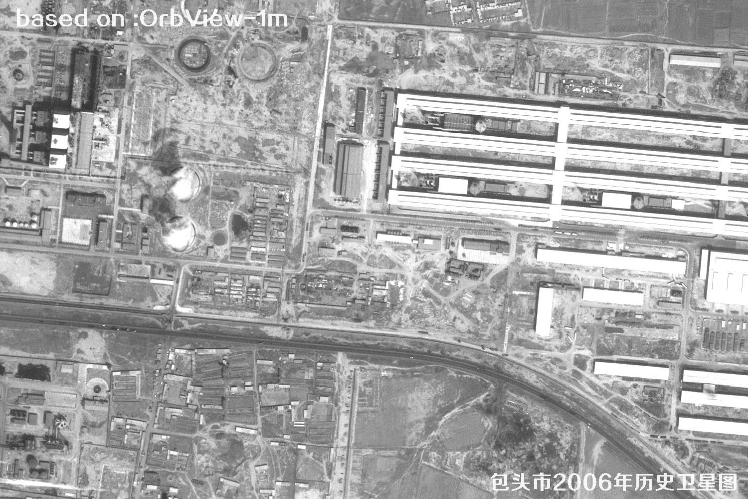 Sample
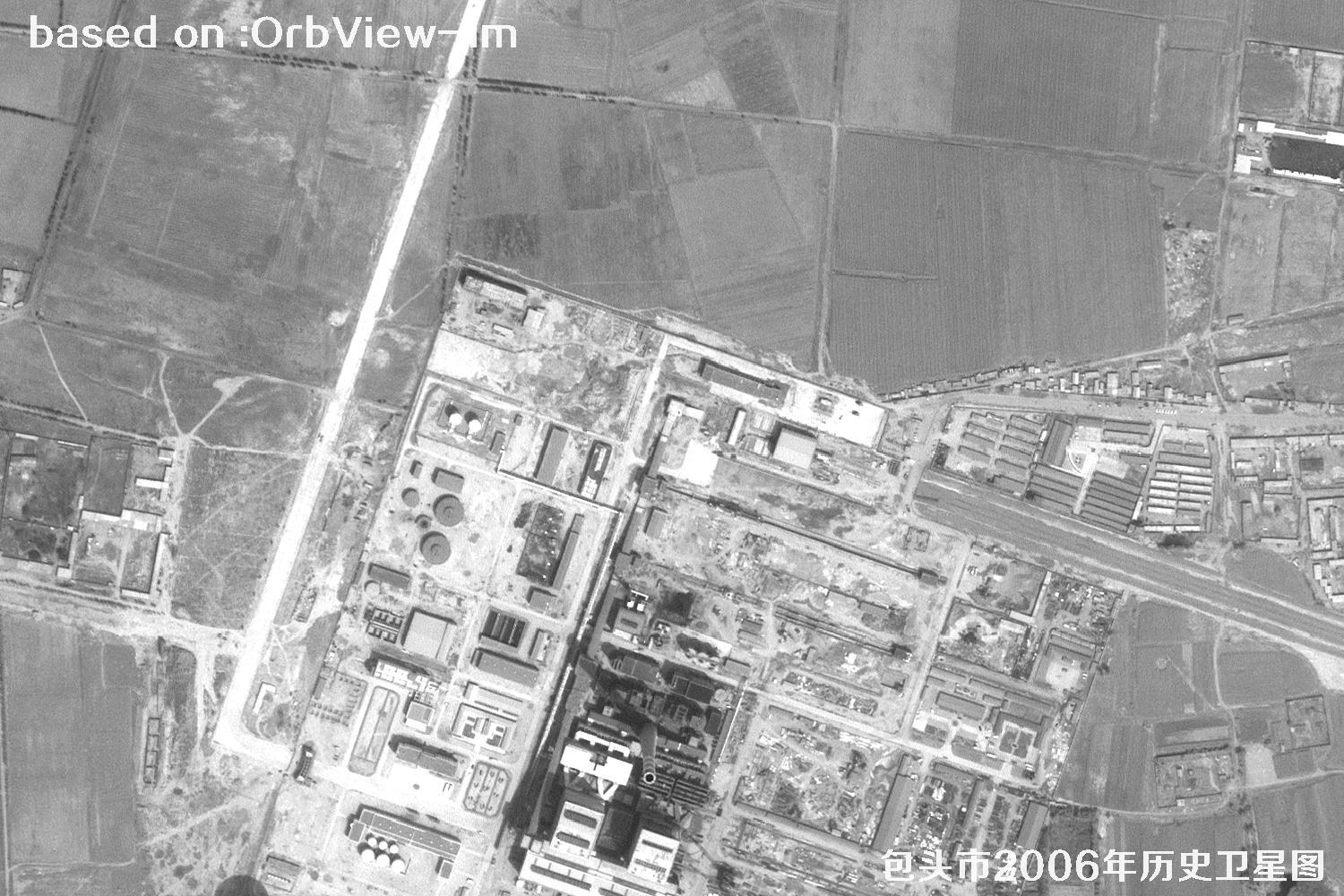 Sample
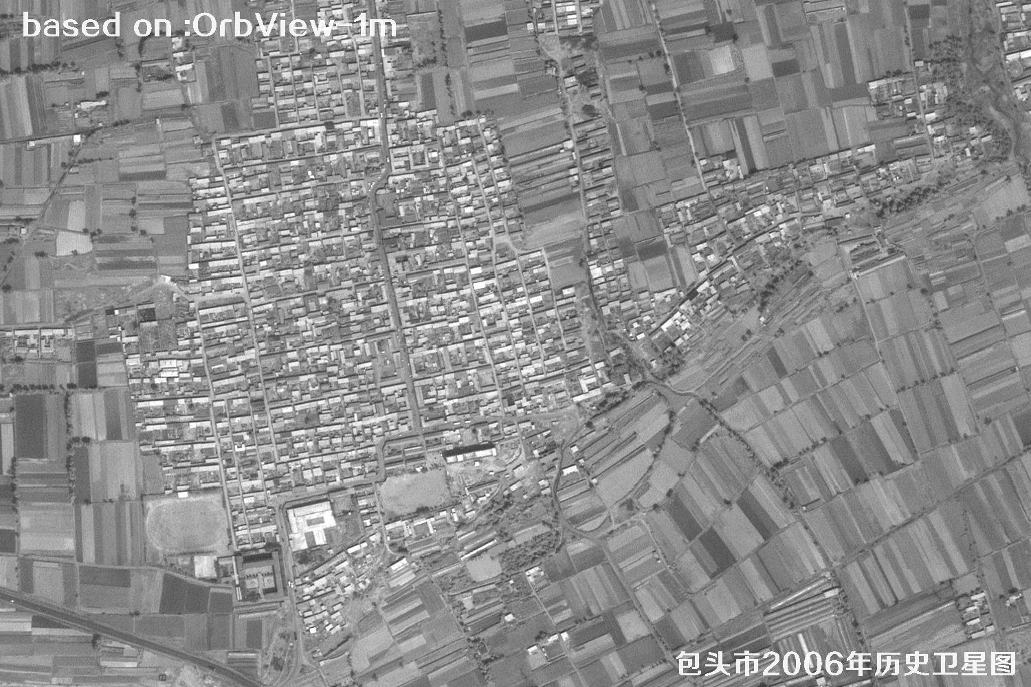 Sample
 Sample
 Sample
 Sample
 Sample
 Sample
 Sample
 Sample
 Sample
 Sample
 Sample
 Sample