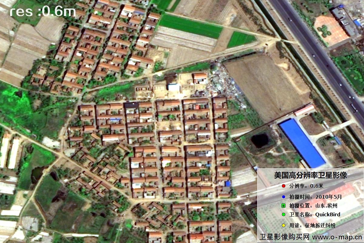
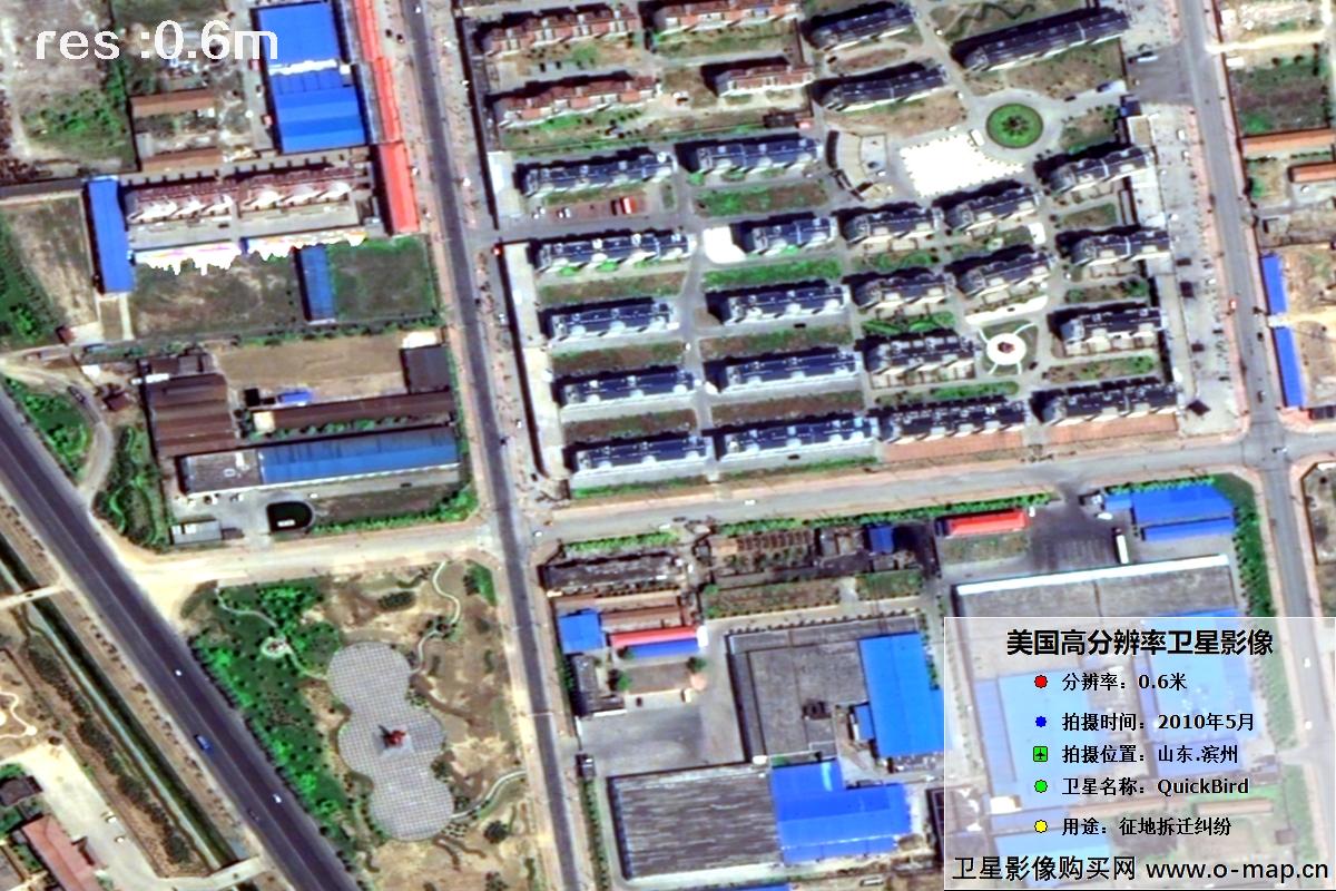
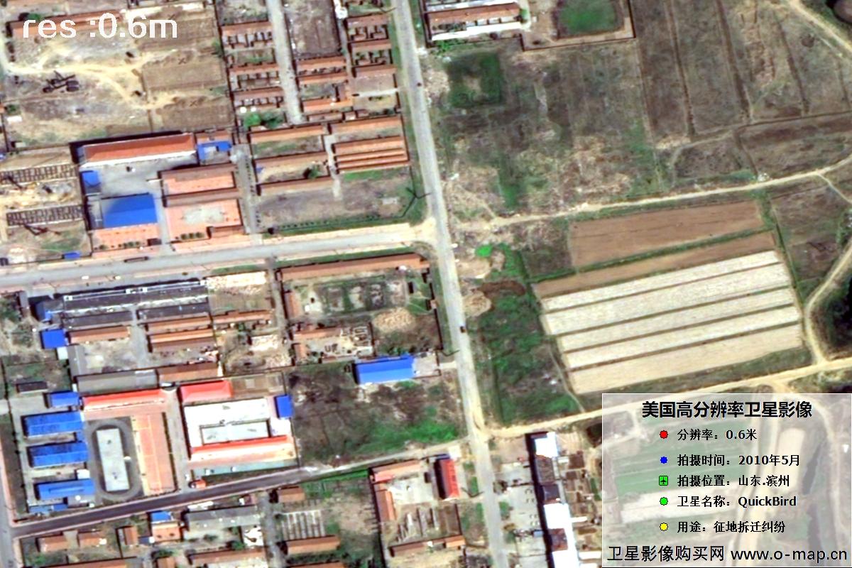
2010 QuickBird Satellite Imagery Used as Evidence in Housing Demolition Dispute in Binzhou, Shandong
0.6 m resolution
House existence proof
Key time evidence
Typesetting for forensics
📌 Case Snapshot
🧑🌾 Client in Binzhou
compensation objection
🔍 EJMap archive check
May 2010 QuickBird
🛰️ 0.6 m HD production
evidence map
⚖️ Delivered for
legal / demolition use
✔ 0.6 m resolution clearly shows individual houses, courtyards and roads — suitable as visual evidence that a building already existed at a given date.
Binzhou, Shandong — QuickBird Satellite Images
💡 Gallery shows the first 15 of 50 sample images (3 per row × 5 rows). Click any image to enlarge; use ← → arrow keys or on-screen buttons for slideshow. Press Esc or ✕ to close. Original caption style preserved below.
 🔍 click
 🔍 click
 🔍 click
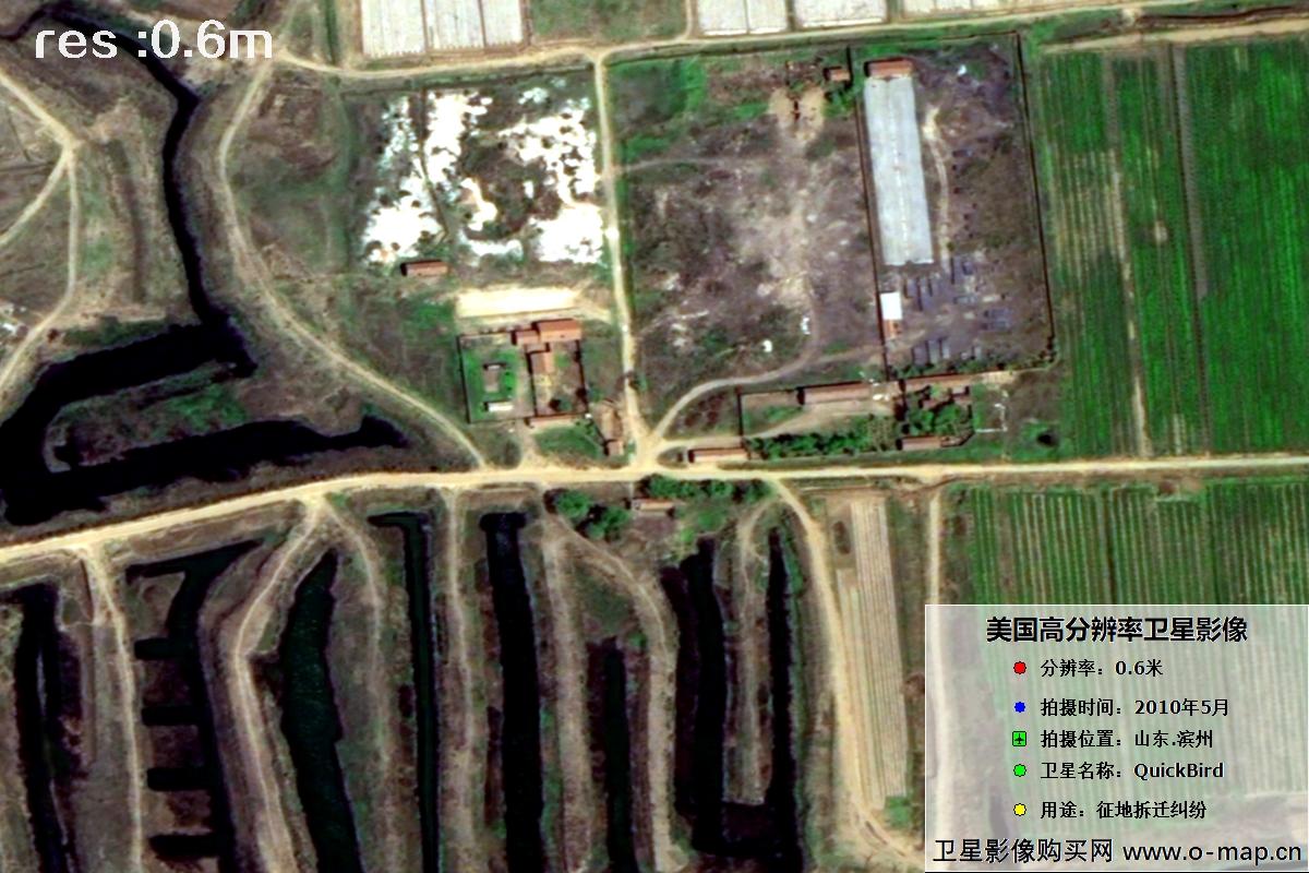 🔍 click
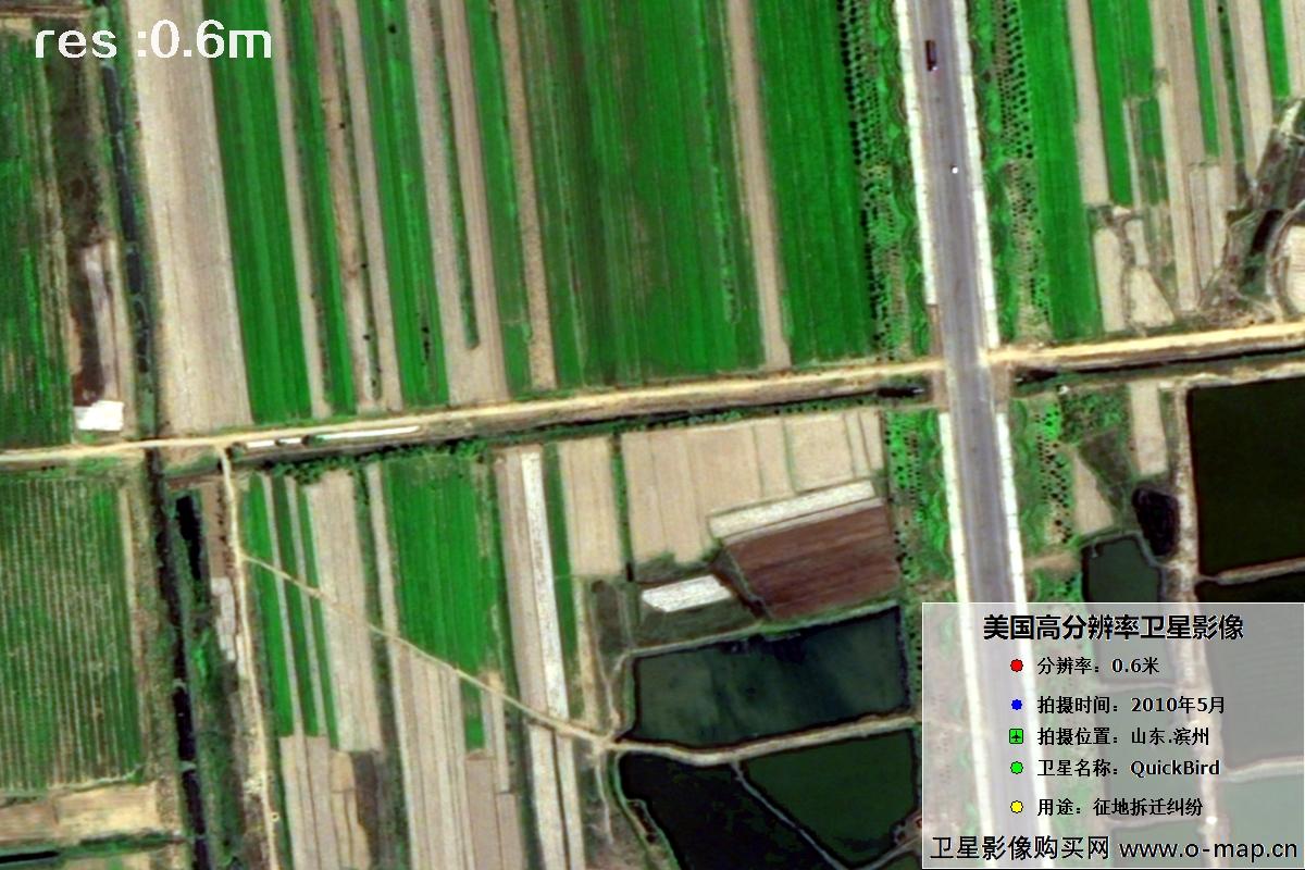 🔍 click
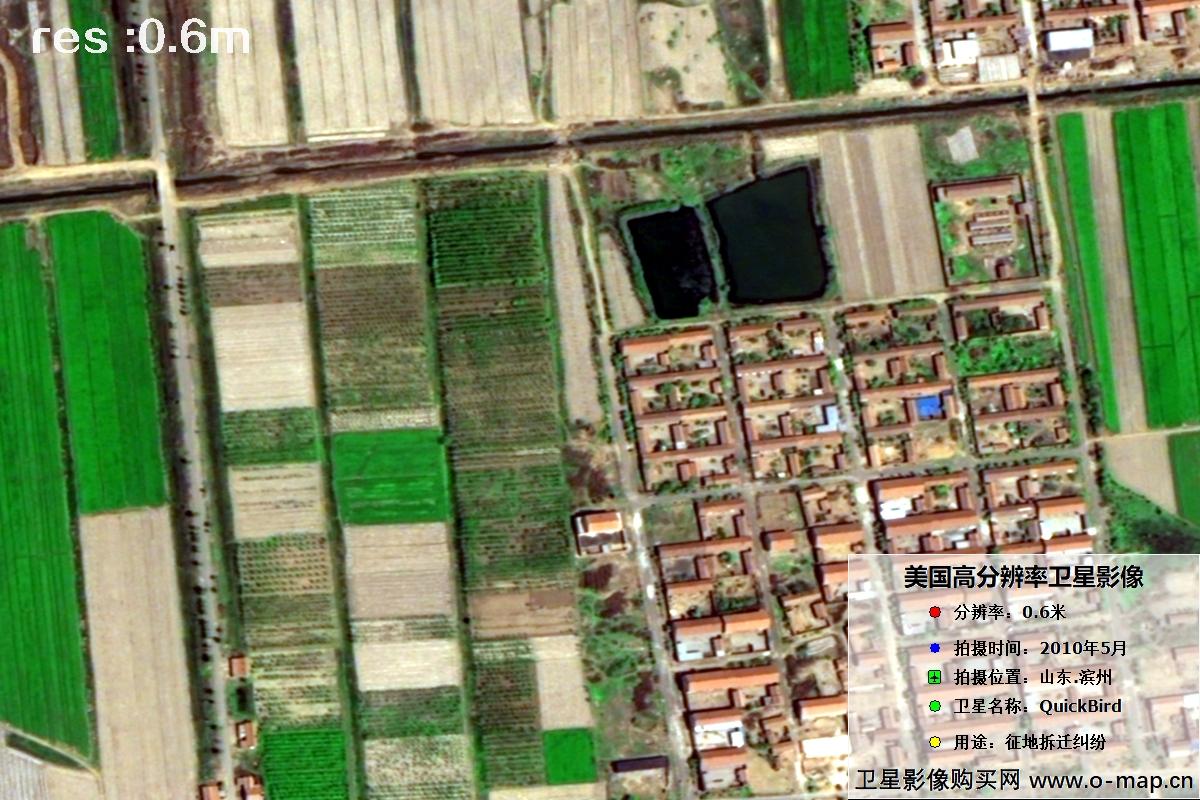 🔍 click
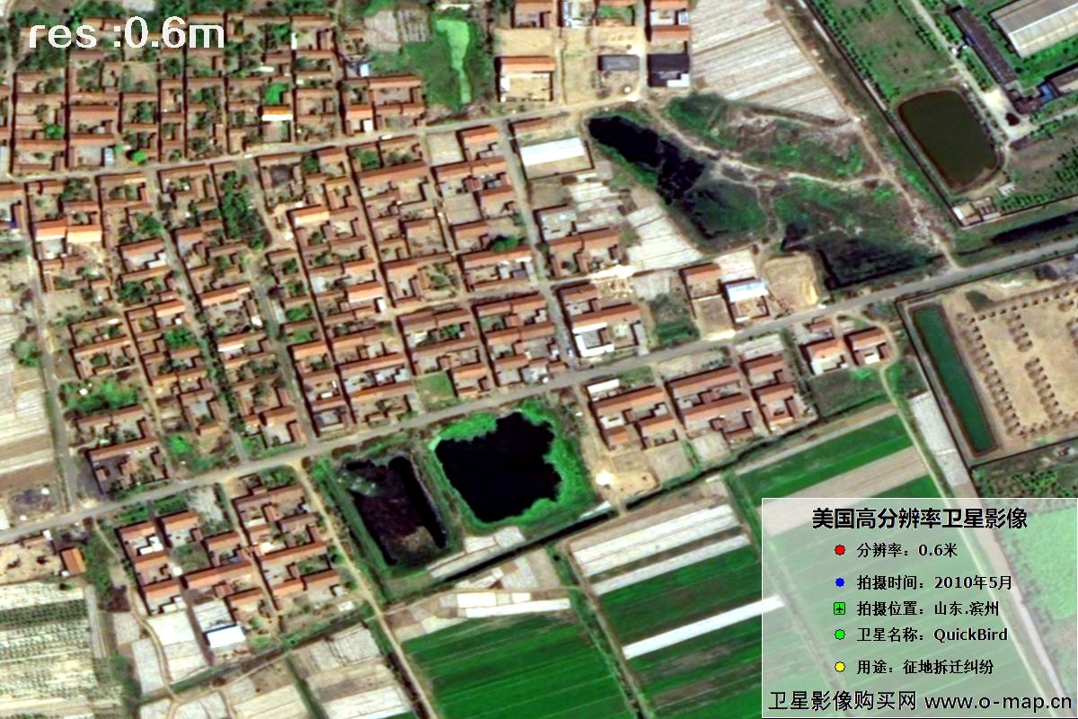 🔍 click
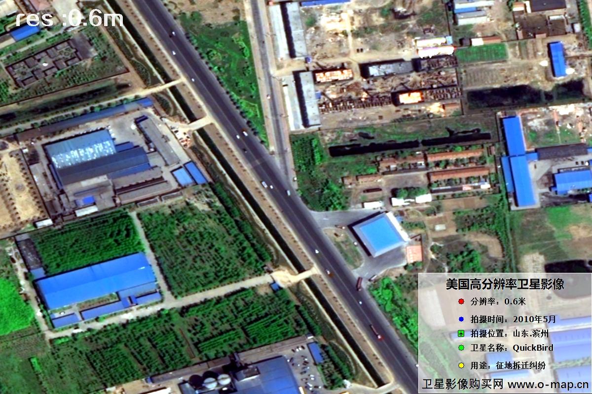 🔍 click
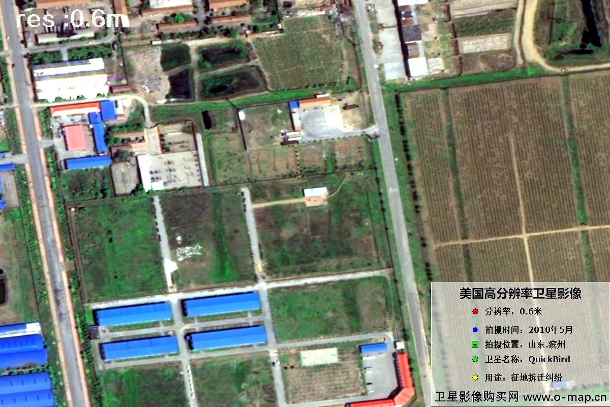 🔍 click
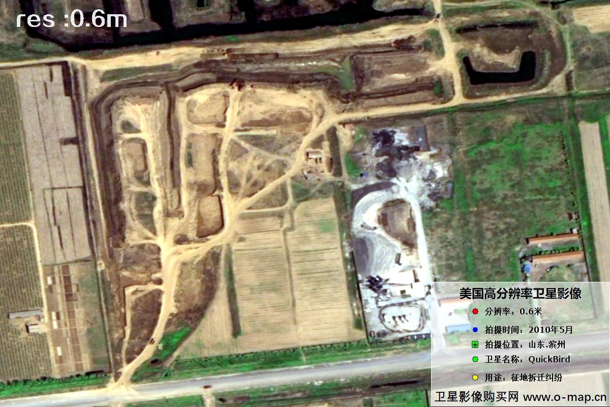 🔍 click
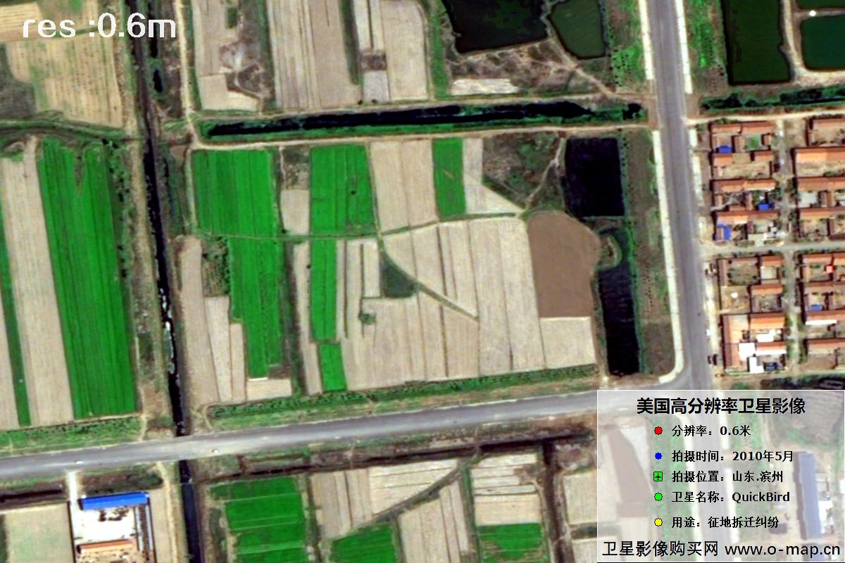 🔍 click
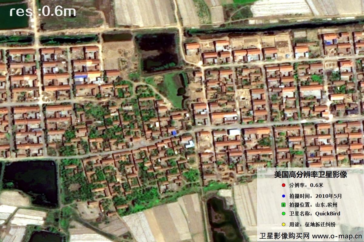 🔍 click
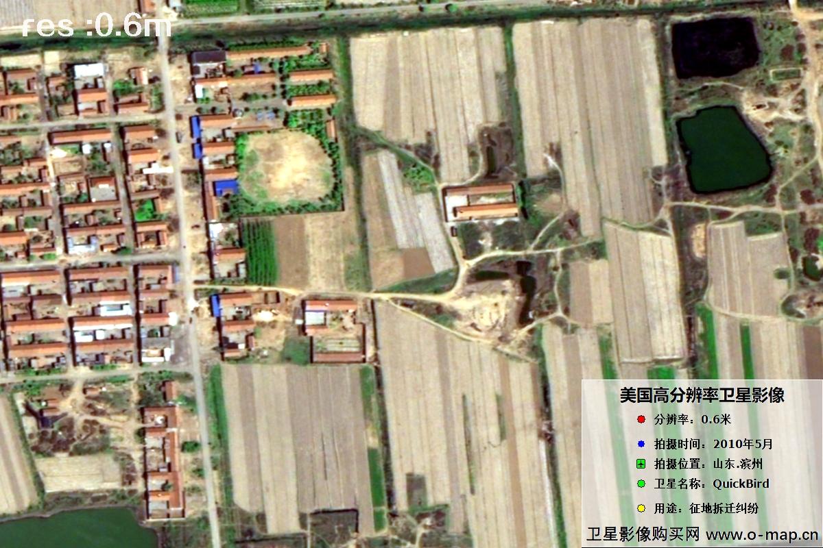 🔍 click
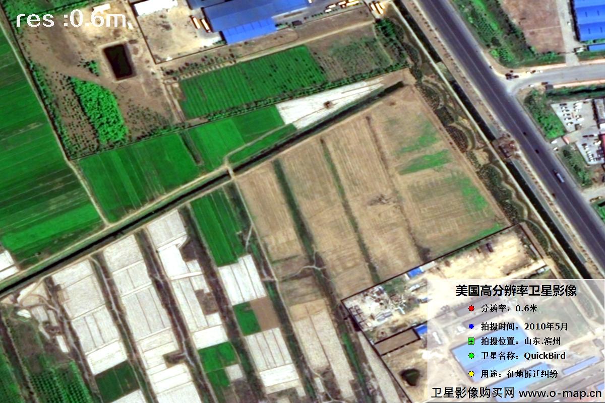 🔍 click
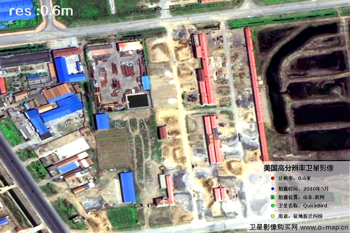 🔍 click
🏢 About Beijing EJMap Geographic Information Technology Co., Ltd.
Beijing EJMap Geographic Information Technology Co., Ltd. (“Beijing EJMap”) is a well-known satellite map service provider in China, headquartered in Chaoyang District, Beijing. EJMap mainly provides 1–3 m resolution Chinese remote-sensing imagery data, including historical image maps taken from the 1960s to the 1980s, as well as Chinese Gaofen (High-Resolution) series satellite imagery captured after 2015.
Satellite imagery is licensed by area (scene). Chinese satellite image maps typically cost 1–30 yuan per km², with an average price of about 500–3,000 yuan per image. (Final price depends on area, resolution, acquisition date, product type and processing. For higher-resolution requirements, unit price is roughly 100–500 yuan/km². Please consult our staff for details.)
Satellite imagery is a special digital product: any individual, company or institution can purchase it with a formal procurement contract and invoice. Delivery is normally expected within 5–10 working days after purchase, with expedited service available as fast as the same day.
Value-added services: wall-map production, automatic map classification (forest / farmland / water / roads / buildings / open land), bare-soil monitoring, 3D white-model production, building detection and vector extraction, change detection (image or video), evidence-ready layout, place-name annotation, style beautification and HD super-resolution enhancement.
To inquire about or purchase satellite imagery, please contact our staff or leave a message online. Use Online Search to explore more satellite projects and samples. © 2021–2026 Beijing EJMap Geographic Information Technology Co., Ltd. All rights reserved. Jing ICP Bei 2021039670-1