
The Role of Each File Format in QuickBird Satellite Raw Data
0.6 m resolution
Closest to acquisition
Geometry · Auxiliary
& remote sensing
✔ Main categories: image data files, metadata files, geometric correction files, and auxiliary files (preview + projection). Together they form a complete satellite imagery data package.
🛰️ The QuickBird Satellite
QuickBird is a high-resolution commercial remote-sensing satellite operated by DigitalGlobe (now Maxar Technologies, USA). Launched on 18 October 2001, it delivers up to 0.61 m panchromatic and 2.44 m multispectral imagery, and was retired in 2015.

📂 The Role of Each File Format
The file formats of QuickBird raw data each serve a distinct purpose, mainly in the following categories:
Together these files form a complete satellite imagery data package, enabling users to carry out high-precision image processing and analysis.
1. Image Data File (.TIF / .TIFF)
🖼️ Image Data File
Function: stores the raw imagery captured by the satellite.
Features: usually GeoTIFF, containing georeferencing so it can be loaded directly into GIS or remote-sensing software.
Contents: may include panchromatic (PAN) imagery, multispectral (MS) imagery, or fused imagery (PAN + MS).
📝 Metadata File
Function: stores detailed metadata about the imagery.
Contents: satellite name, sensor type, acquisition time, resolution, geographic extent, projection, solar elevation/azimuth and radiometric correction parameters.
Use: image correction, geometric rectification and radiometric correction.
📐 RPC Coefficient File
Function: stores the sensor model parameters of the imagery (RPC coefficients).
Contents: describes the geometric relationship between image pixels and ground coordinates.
Use: geometric correction, orthorectification and image registration.
🖼️ Quick-View File
Function: provides a low-resolution preview of the imagery.
Features: small file size, convenient for quick viewing.
Use: rapid browsing of imagery extent and content, and selecting an area of interest.
🌐 Projection File
Function: describes the projection information of the imagery.
Contents: projection type, ellipsoid parameters, coordinate system, etc.
Use: ensures the imagery displays its correct geographic position in GIS software.
🧾 Log File
Function: records information from the imagery processing or generation process.
Contents: generation time, processing steps, software version, etc.
Use: tracking the processing workflow and troubleshooting.
⚙️ Correction Parameter File
Function: stores the correction parameters of the imagery.
Use: radiometric or geometric correction of the imagery.
🧩 Other Files
.SHAPE / .TAB: may contain the vector boundary of the imagery, describing its coverage extent.
.HDR: a header file containing basic imagery information such as band count and resolution.
2. Geometric Correction Files (.RPB / .XML)
These files store the sensor model parameters (RPC coefficients) used to describe the geometric relationship between image pixels and ground coordinates, and are used for geometric correction, orthorectification and image registration.
Satellite Imagery Purchase Samples
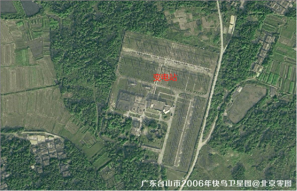
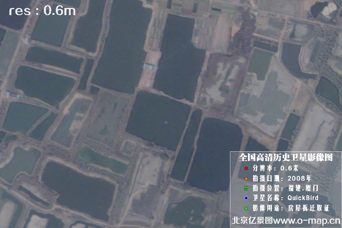
0.6 m resolution satellite images captured by the QuickBird satellite:
💡 Gallery keeps the original 3-per-row display. Click any image to enlarge; use ← → arrow keys or on-screen buttons for slideshow. Press Esc or ✕ to close. Original caption style preserved below.
 🔍 click
 🔍 click
 🔍 click
 🔍 click
 🔍 click
 🔍 click
 🔍 click
 🔍 click
 🔍 click
 🔍 click
Buy QuickBird Satellite Imagery Now
🏢 About Beijing OMap Geographic Information Technology Co., Ltd.
Beijing OMap Geographic Information Technology Co., Ltd. (“Beijing OMap”) is a well-known satellite map service provider in China, headquartered in Chaoyang District, Beijing. OMap mainly provides 1–3 m resolution Chinese remote-sensing imagery data, including historical image maps taken from the 1960s to the 1980s, as well as Chinese Gaofen (High-Resolution) series satellite imagery captured after 2015.
Satellite imagery is licensed by area (scene). Chinese satellite image maps typically cost 1–30 yuan per km², with an average price of about 500–3,000 yuan per image. (Final price depends on area, resolution, acquisition date, product type and processing. For higher-resolution requirements, unit price is roughly 100–500 yuan/km². Please consult our staff for details.)
Satellite imagery is a special digital product: any individual, company or institution can purchase it with a formal procurement contract and invoice. Delivery is normally expected within 5–10 working days after purchase, with expedited service available as fast as the same day.
Value-added services: wall-map production, automatic map classification (forest / farmland / water / roads / buildings / open land), bare-soil monitoring, 3D white-model production, building detection and vector extraction, change detection (image or video), evidence-ready layout, place-name annotation, style beautification and HD super-resolution enhancement.
To inquire about or purchase satellite imagery, please contact our staff or leave a message online. Use Online Search to explore more satellite projects and samples.
©2021-2026 北京亿景图地理信息技术有限公司 版权所有.京ICP备2021039670号-1