🛰2026 Hebei Zhangjiakou Wind Turbine GF7 Satellite Image
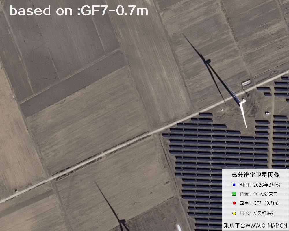
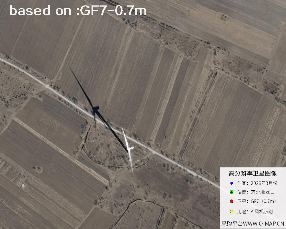
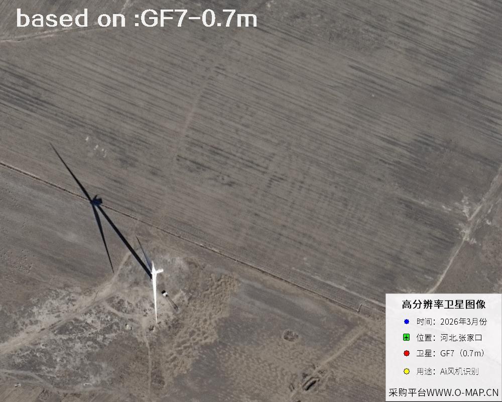
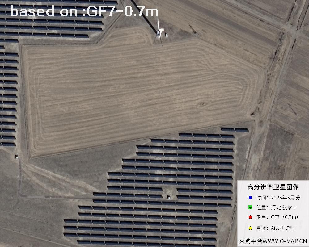
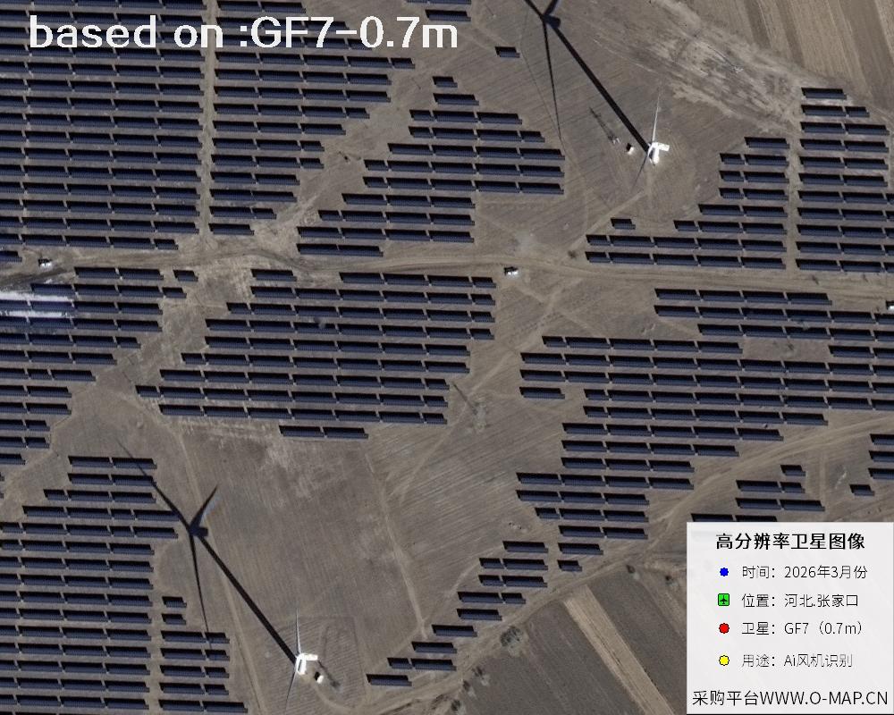
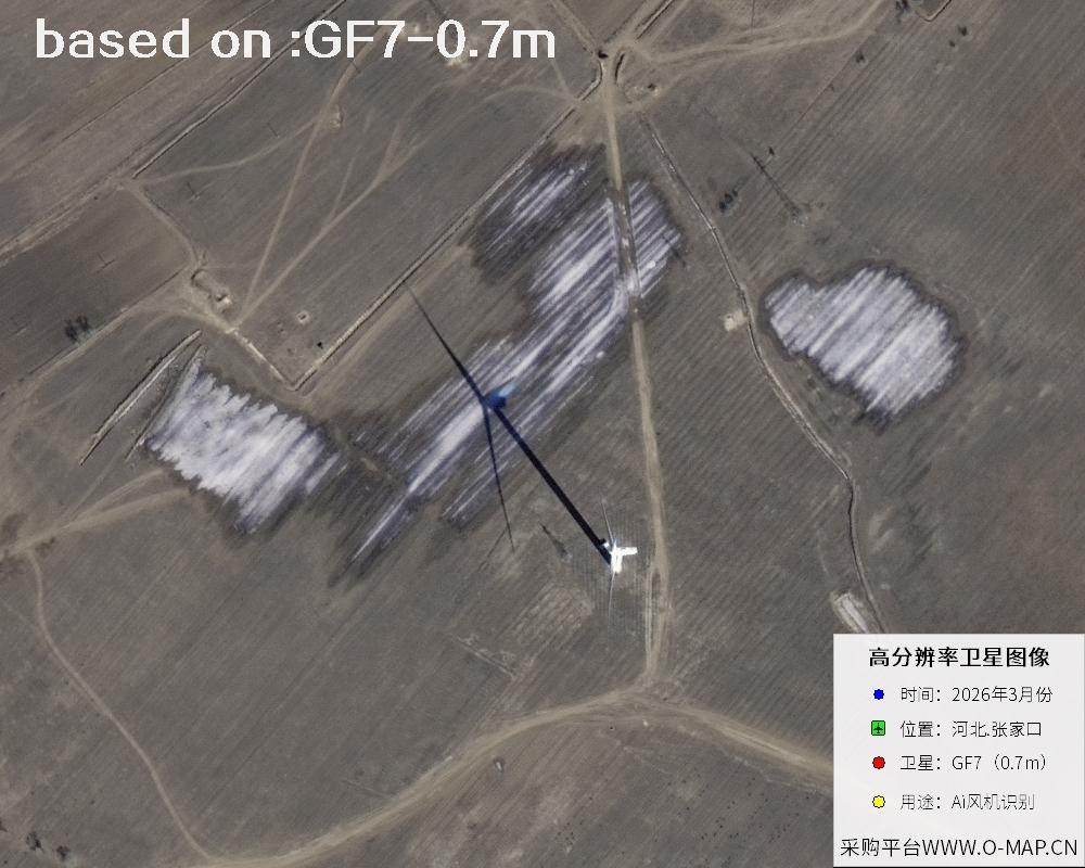
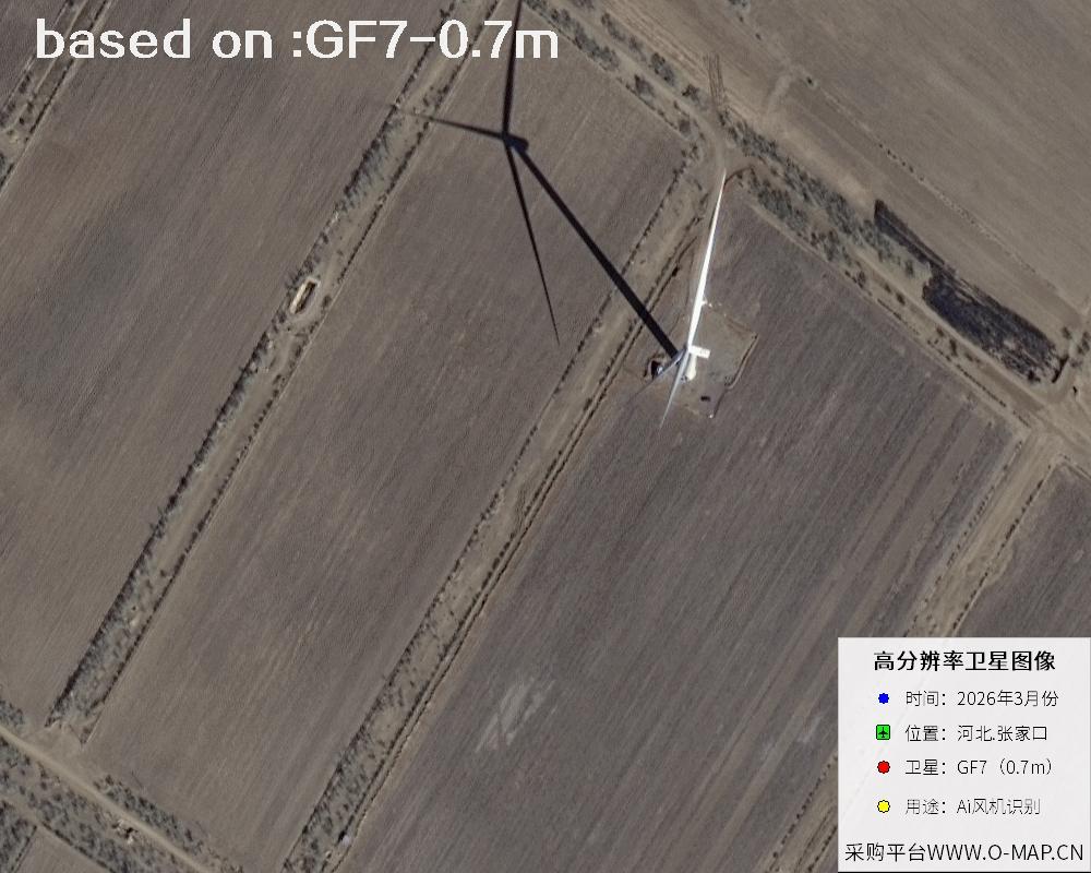
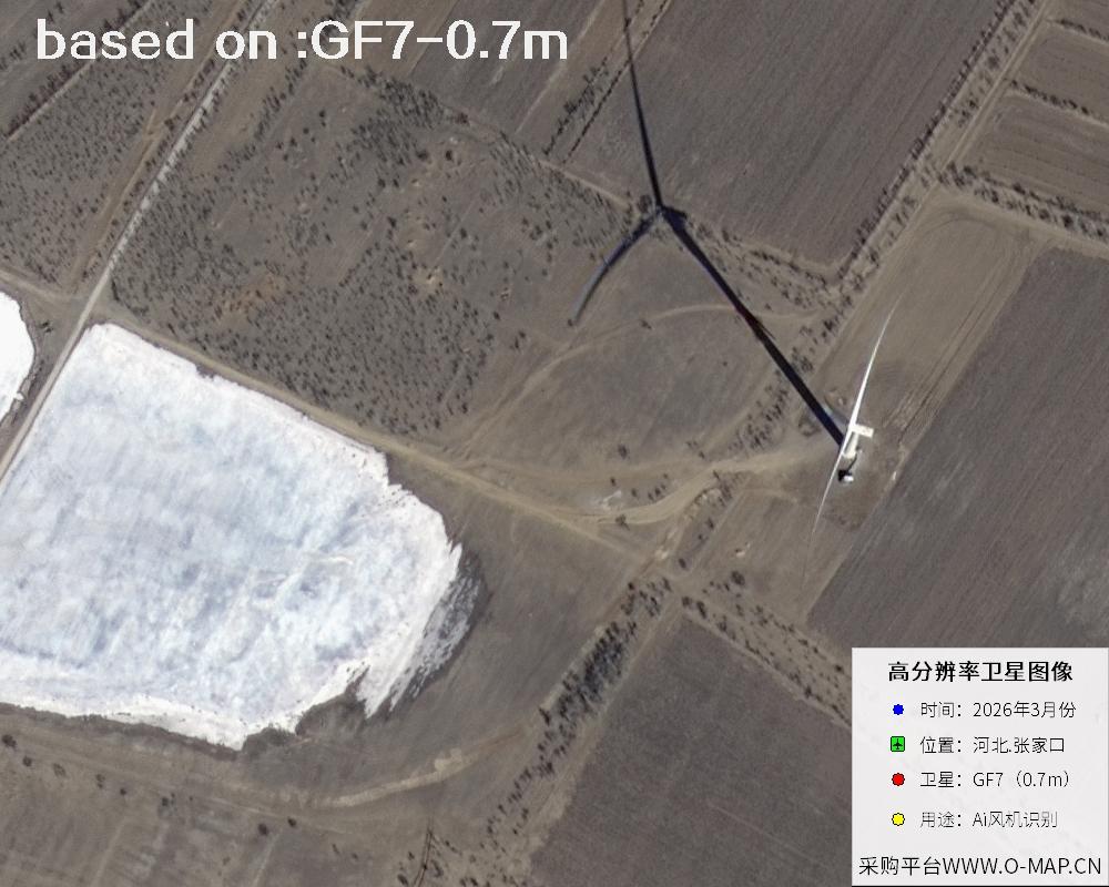
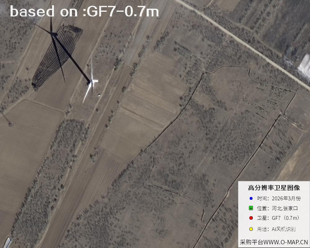
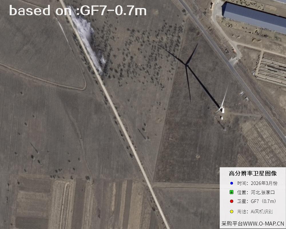
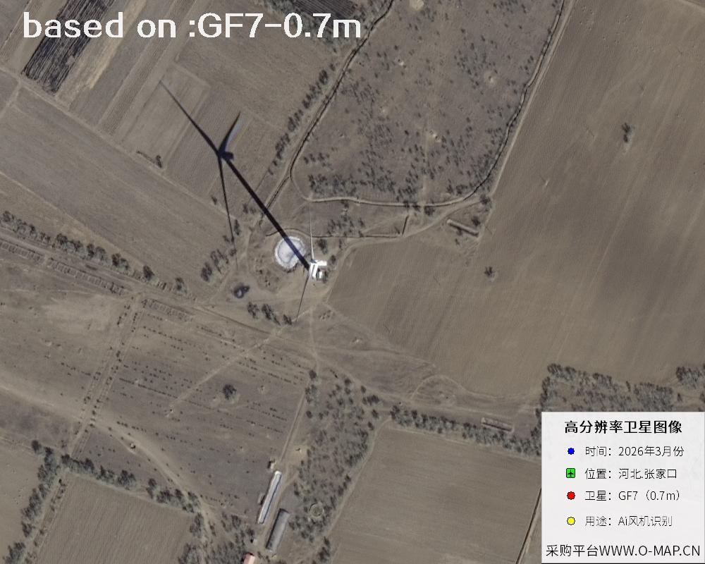
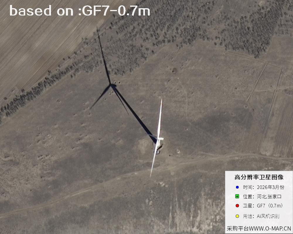
Most wind turbines are built on mountain ridges and grasslands, places that are vast and sparsely populated, making manual counting slow and labor-intensive. High-resolution satellite imagery solves this problem neatly: sub-meter imagery clearly records turbine towers, blades and the access roads around them, and combined with terrain data it can also reveal the distribution pattern and alignment of the turbines. The GF7 satellite offers a panchromatic resolution of about 0.65 m and a multispectral resolution of about 2.6 m, and it carries a laser altimeter that captures high-precision stereo imagery and elevation data in a single pass. Satellite images of Zhangjiakou's wind farms can therefore be used to quickly locate turbine positions, verify counts, monitor construction progress and observe changes in surrounding land use — a highly practical reference for wind resource surveys and operations management. For users who need change comparison or current-status verification, this kind of satellite imagery is both objective and traceable, saving a great deal of fieldwork time.
GF7 (Gaofen-7) is a civil surveying satellite under China's Major Project on High-Resolution Earth Observation Systems. It was launched on November 3, 2019 from the Taiyuan Satellite Launch Center and operates in a sun-synchronous orbit at about 500 km. It is China's first civil sub-meter stereo mapping satellite, capable of capturing the geographic elements required for 1:10000 scale topographic maps. Its data is widely used in national surveying and mapping, urban planning, natural resource surveys, transportation and water conservancy construction, and disaster emergency response.
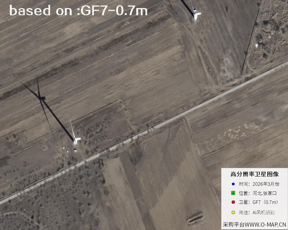
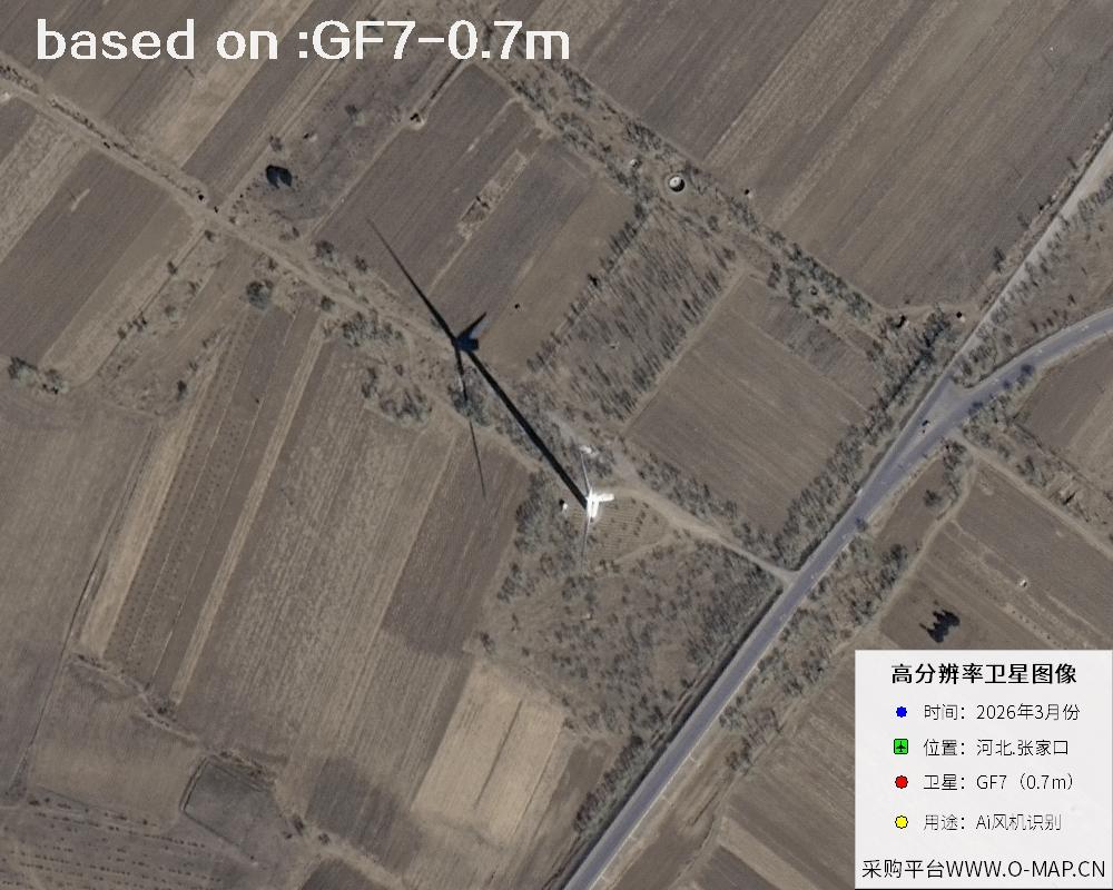
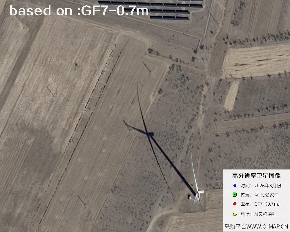
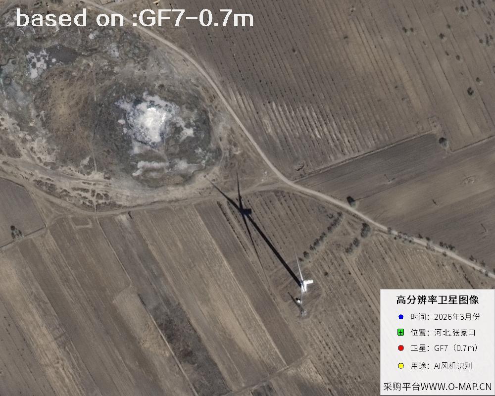
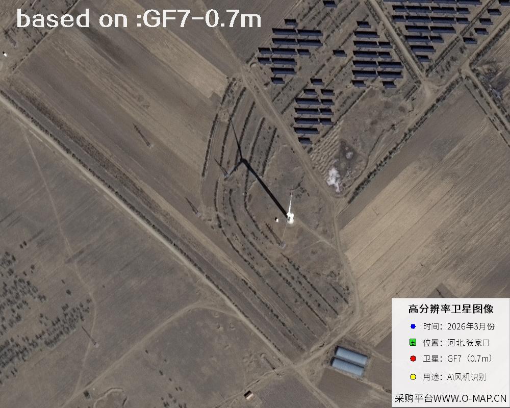
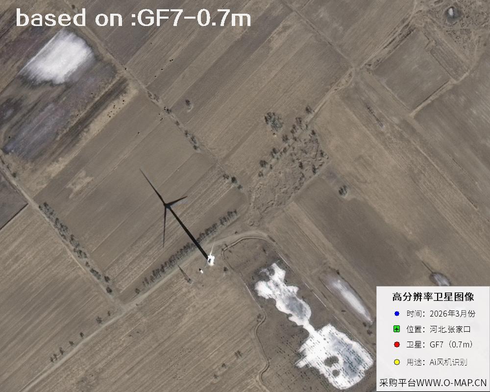
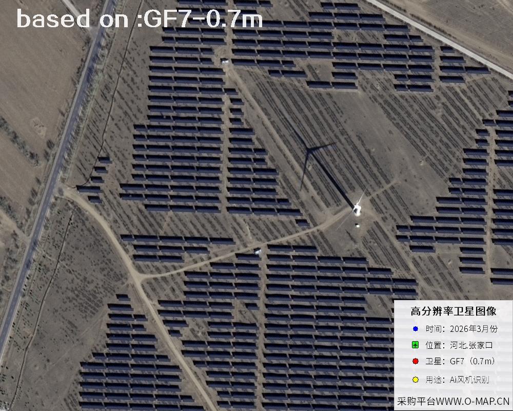
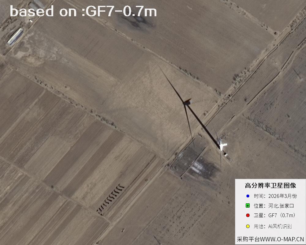
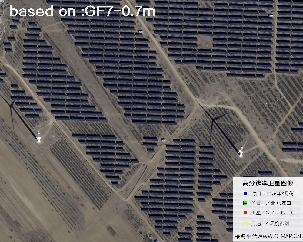
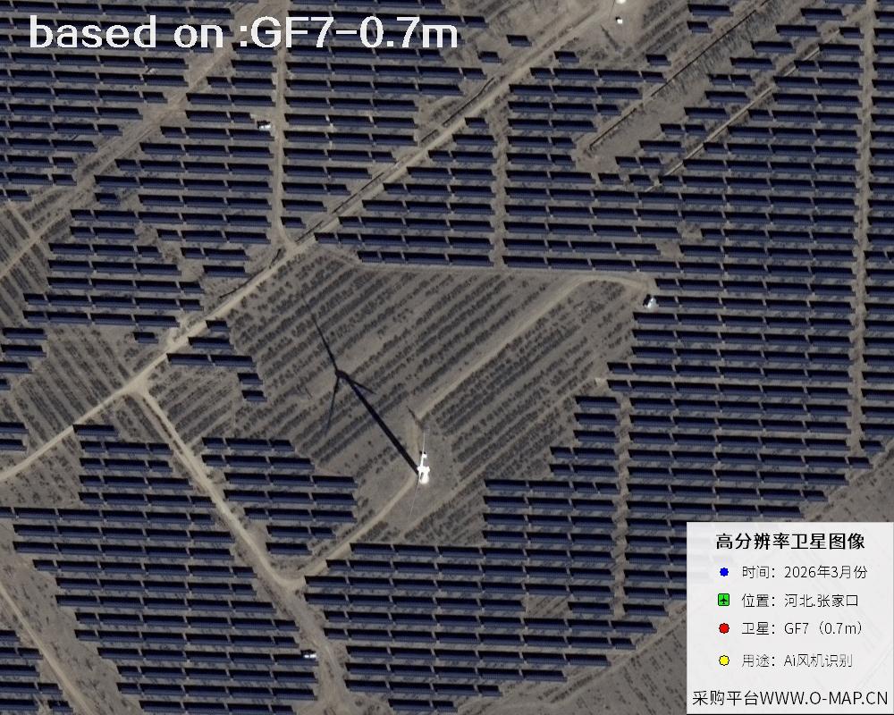
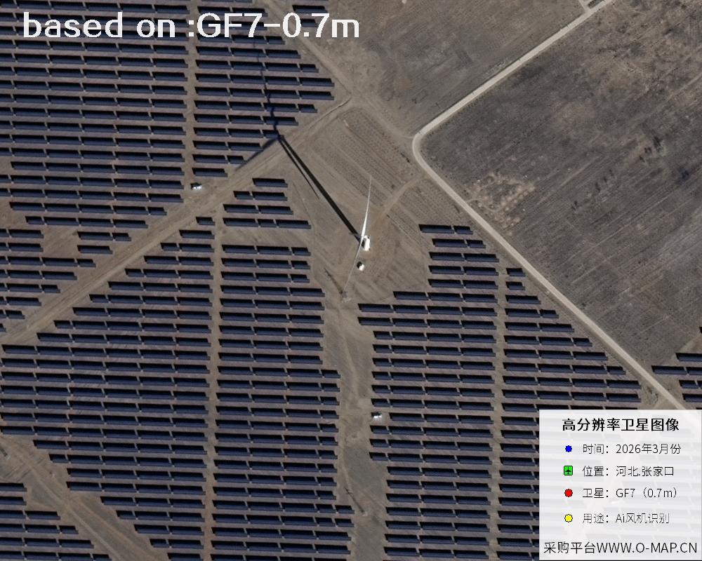
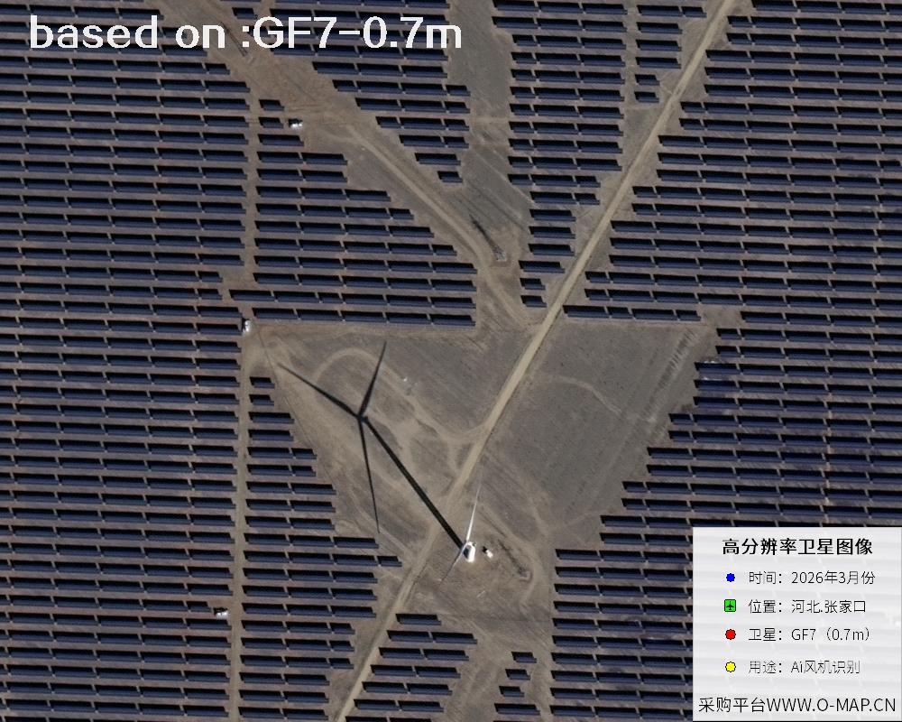
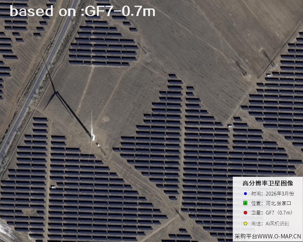
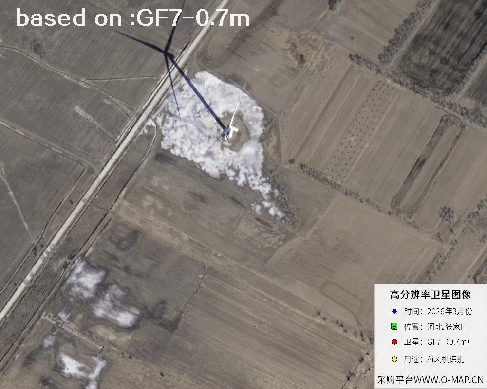
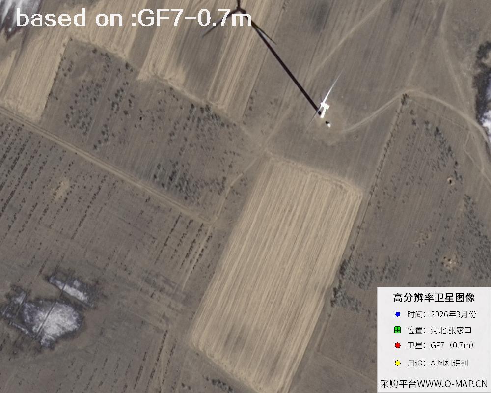
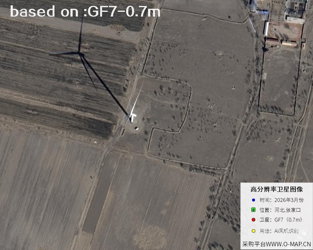
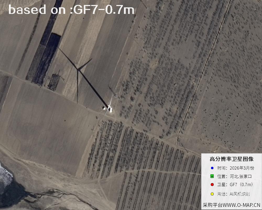
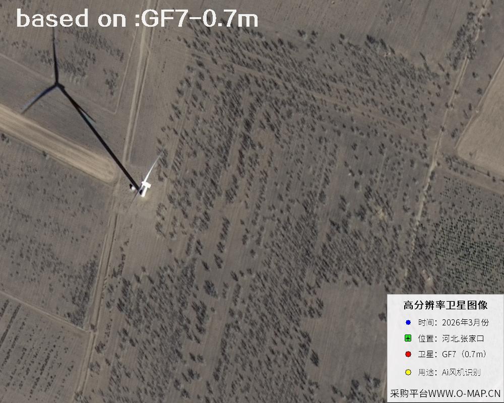
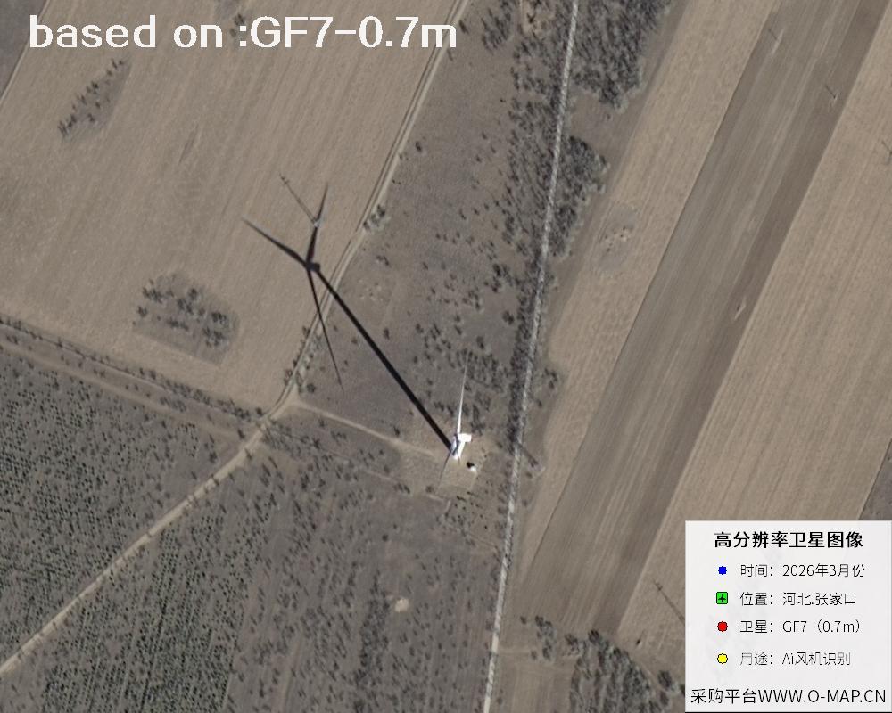
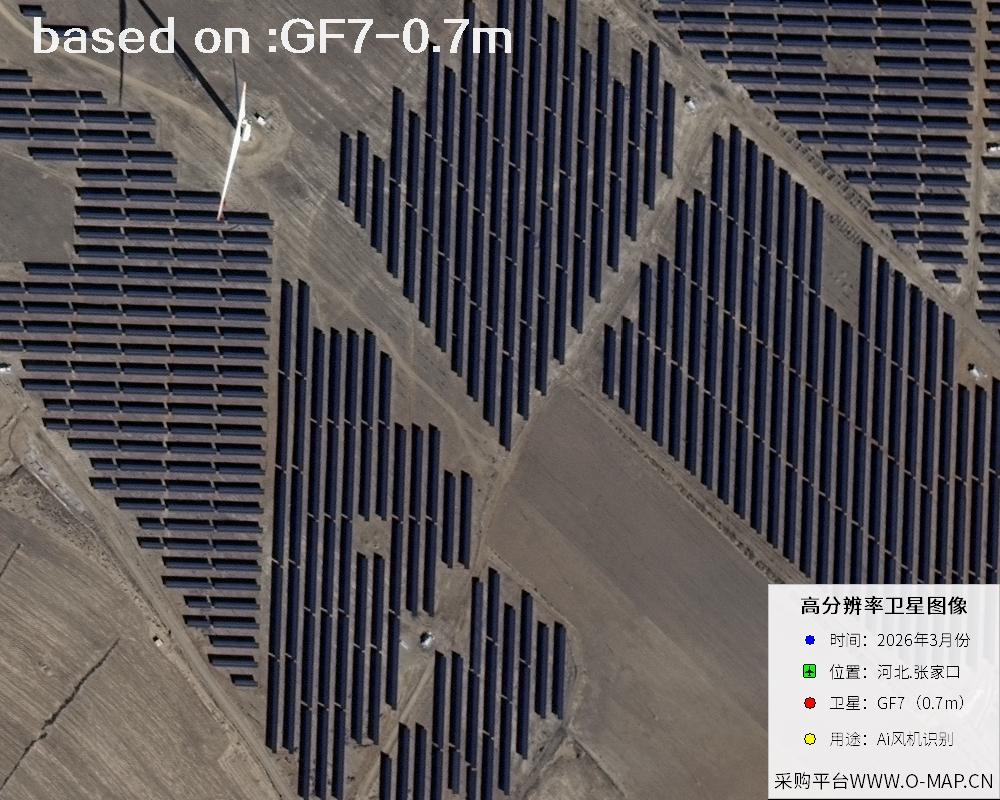
The images below are GF7 satellite images of wind turbines in Zhangjiakou, Hebei, captured in March 2026.
- 🛰 GF7 Overview
- 📊 GF7 Key Specifications
GF7, also known as Gaofen-7, is a civil satellite dedicated to surveying applications under China's Major Project on High-Resolution Earth Observation Systems. It was successfully launched on November 3, 2019 by a Long March 4B rocket from the Taiyuan Satellite Launch Center and operates in a sun-synchronous orbit at about 500 km. Using a dual-linear-array stereo imaging mode, it can simultaneously capture forward, backward and nadir views, and with its onboard laser altimeter it obtains both horizontal position and elevation information in one pass. It is China's first civil sub-meter stereo mapping satellite.
Its data supports topographic mapping at the 1:10000 scale and serves a wide range of fields, including national surveying and mapping, urban planning, natural resource surveys, transportation and water conservancy construction, agriculture and forestry monitoring, and disaster emergency response. It also provides high-precision geospatial information for international cooperation such as the Belt and Road Initiative. For surveys of ground facilities such as wind farms and solar plants, both the image clarity and the stereo capability of GF7 are quite impressive.
🖼Zhangjiakou Wind Turbine GF7 Satellite ImagesTotal: 48
 Sample
 Sample
 Sample
 Sample
 Sample
 Sample
 Sample
 Sample
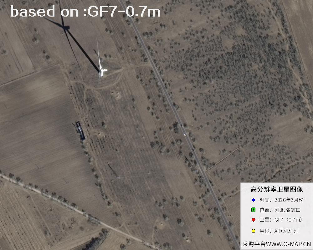 Sample
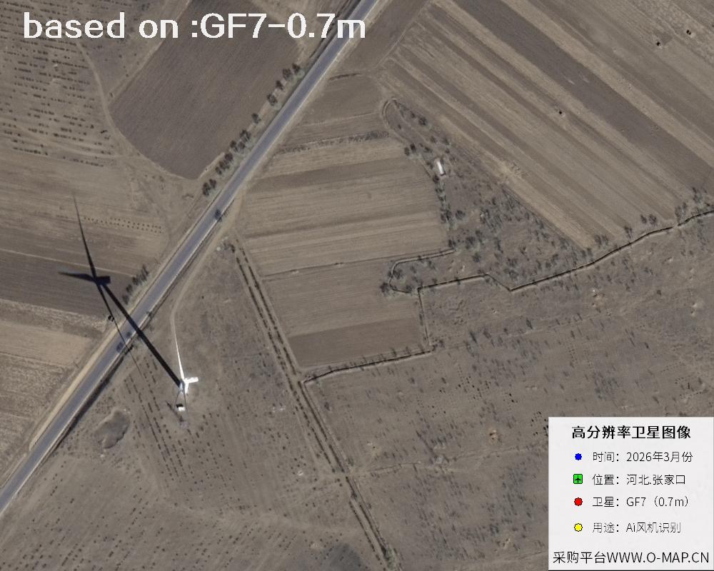 Sample
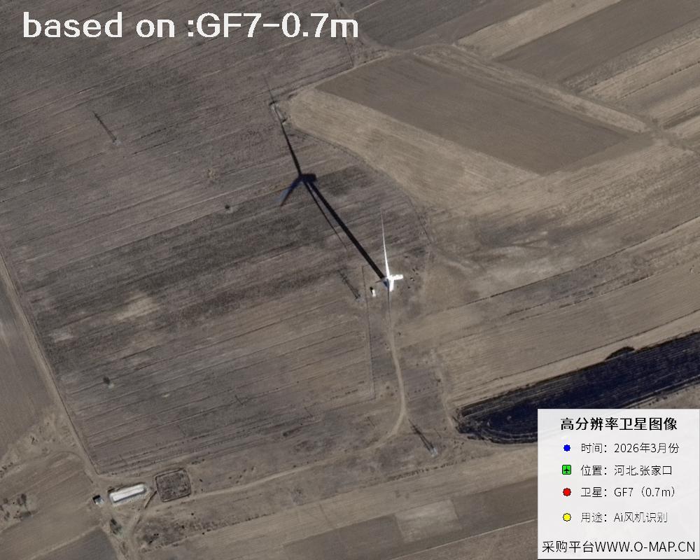 Sample
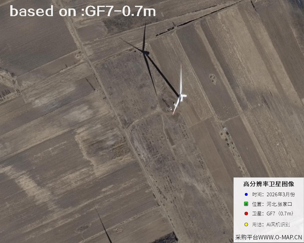 Sample
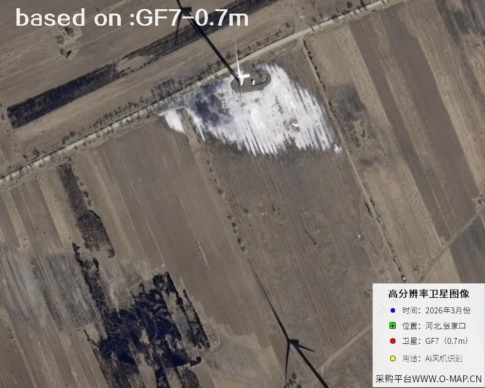 Sample
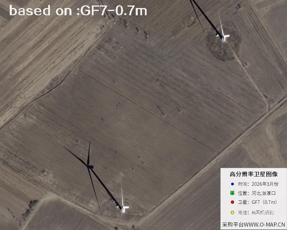 Sample
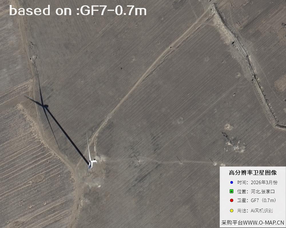 Sample
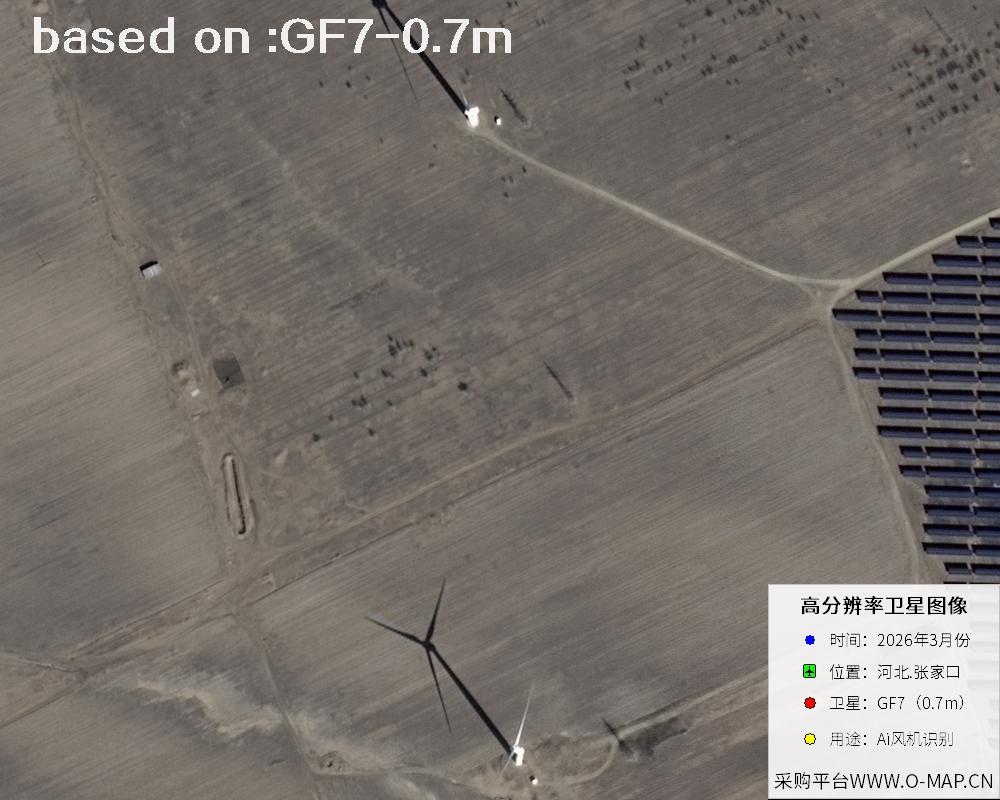 Sample
 Sample
 Sample
 Sample
 Sample
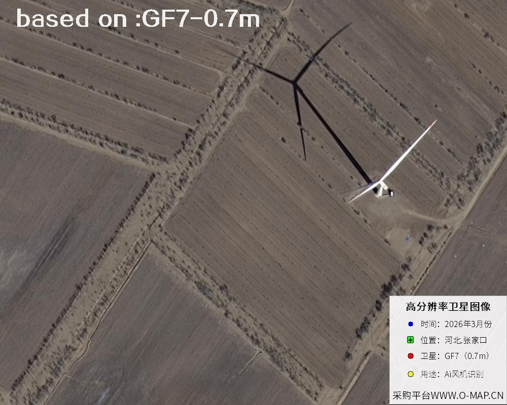 Sample
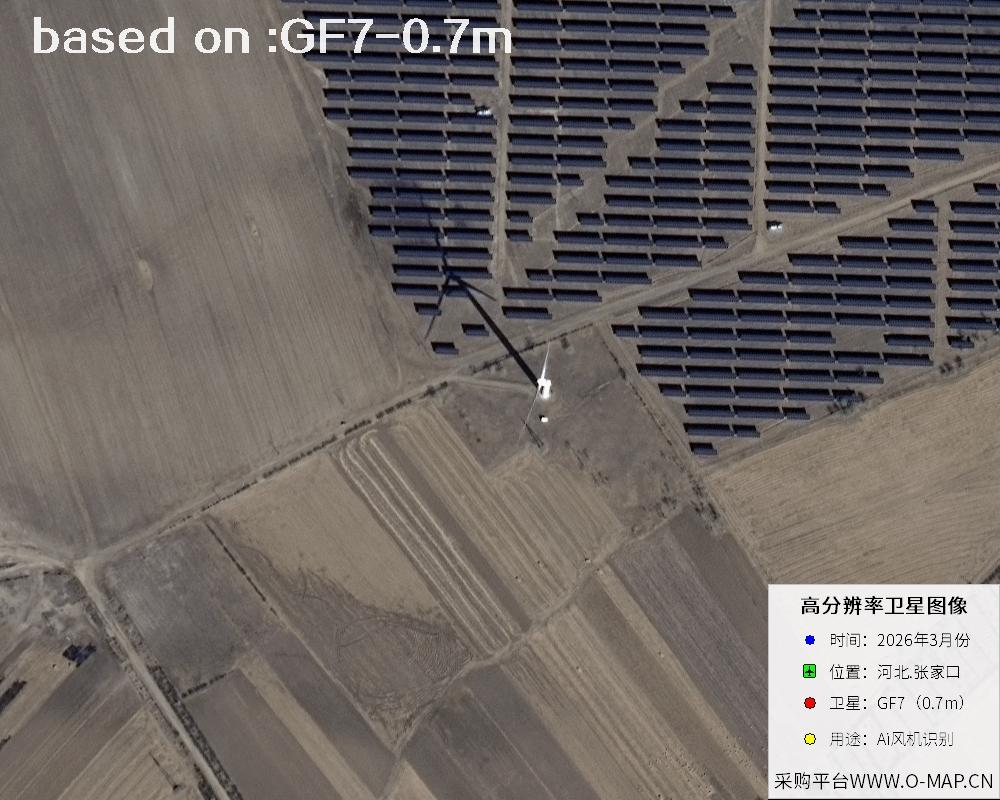 Sample
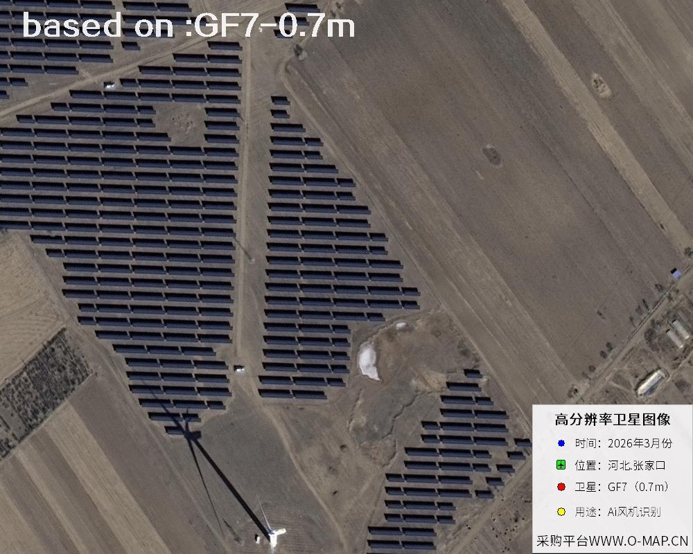 Sample
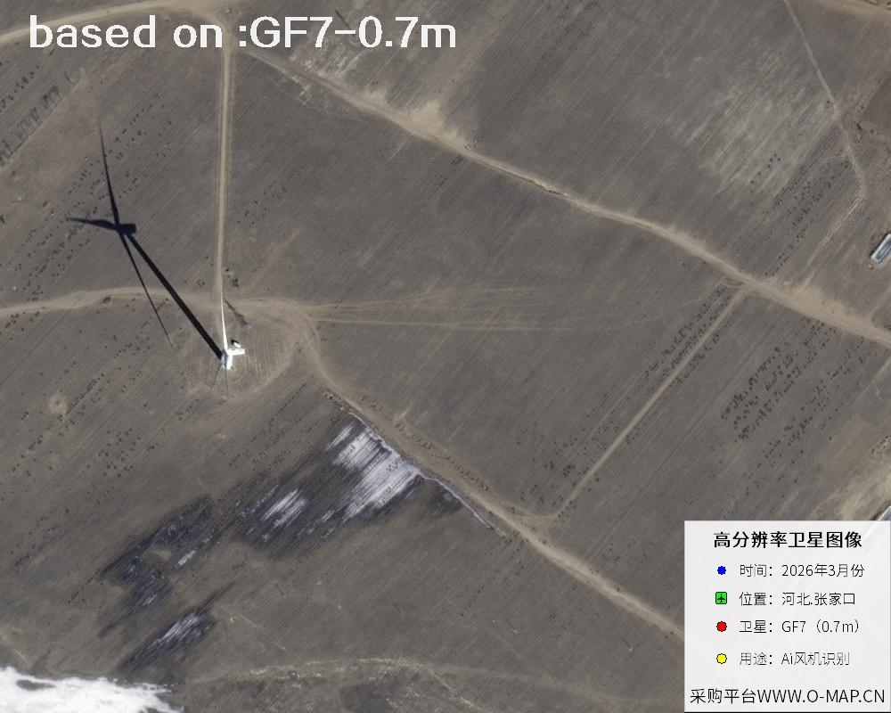 Sample
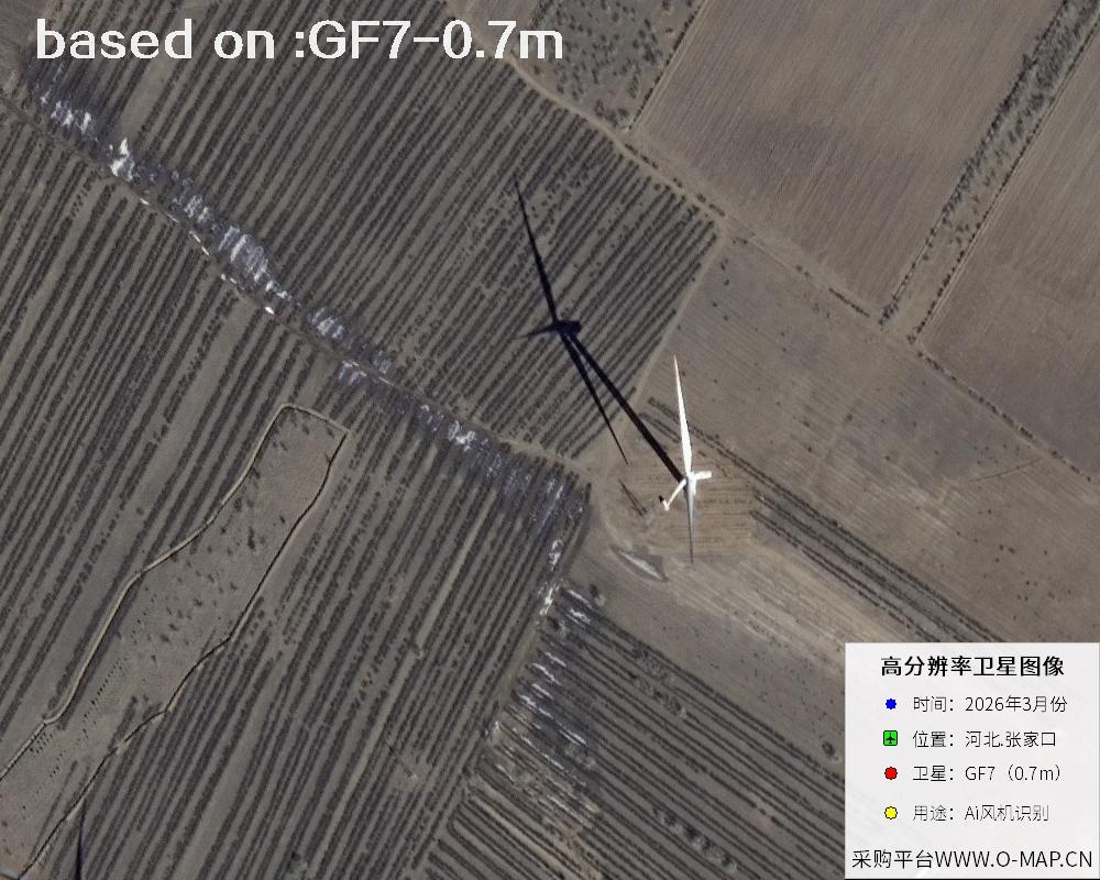 Sample
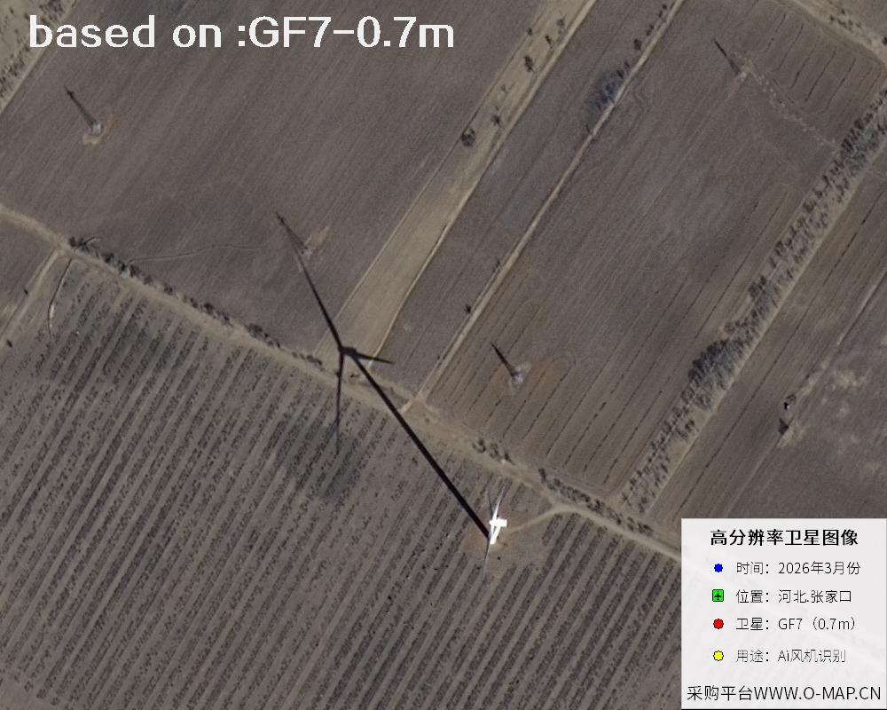 Sample
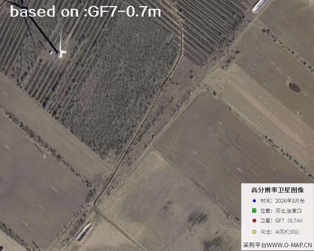 Sample
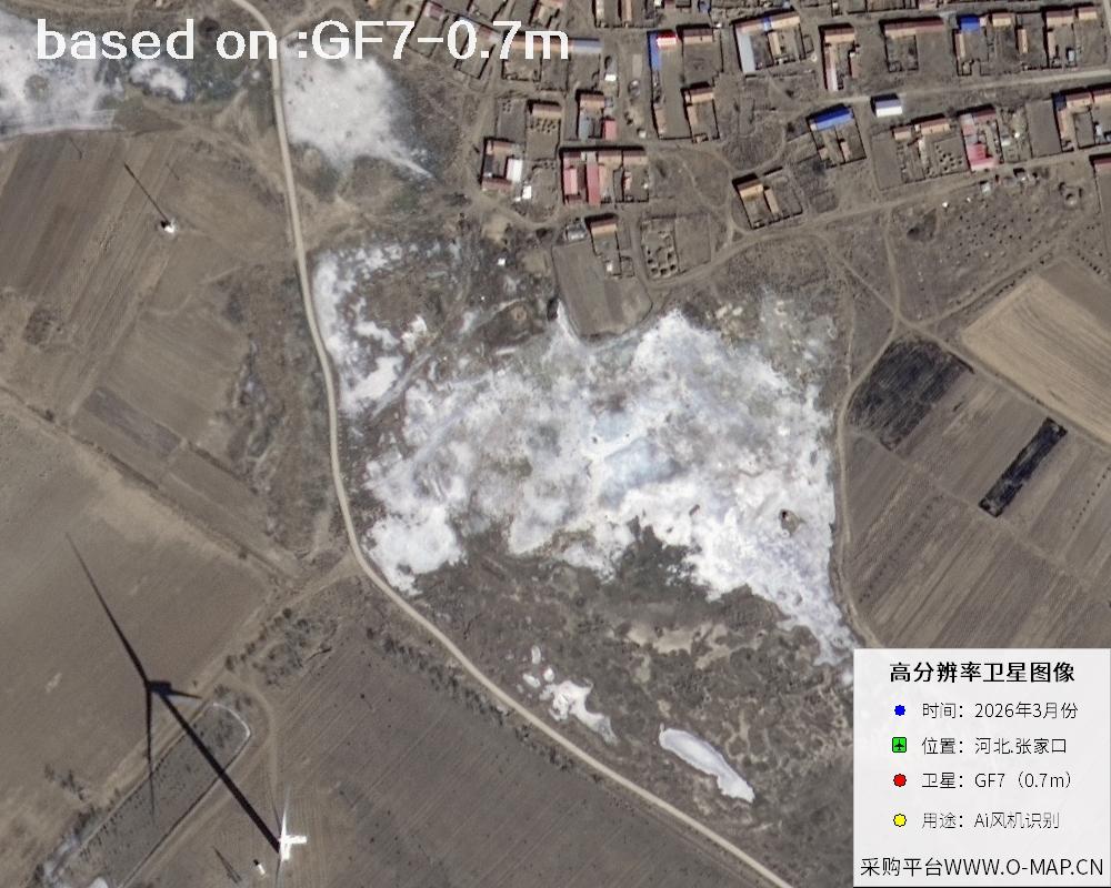 Sample
 Sample
 Sample
 Sample
 Sample
 Sample
 Sample
 Sample
 Sample
 Sample
 Sample
 Sample
 Sample
 Sample
 Sample
 Sample
 Sample
 Sample
 Sample
 Sample
 Sample