🛰2016 Yunnan Zhaotong GF2 Satellite Image
Zhaotong is located in the northeast of Yunnan Province, deep in the Wumeng Mountains at the junction of Yunnan, Guizhou and Sichuan, along the lower reaches of the Jinsha River. Long known as the "key to southern Yunnan and gateway to western Shu," the city covers about 23,000 square kilometers and administers the Zhaoyang District along with counties and cities including Ludian, Qiaojia, Yanjin, Daguan, Yongshan, Suijiang, Zhenxiong, Yiliang, Weixin and Shuifu. It is an important gateway from Yunnan to Sichuan and Chongqing. With high mountains, deep valleys, steep elevation differences and a pronounced vertical climate, the area is both a major hydropower base and a producer of specialty agricultural products. Because the rugged terrain makes transportation and construction difficult, satellite remote sensing has become an efficient way to understand surface changes, urban and rural development and resource distribution here — and the 2016 historical imagery is a valuable record of how the area looked back then.
GF2, or Gaofen-2, is a key satellite under China's Major Project on High-Resolution Earth Observation Systems. It was successfully launched on August 19, 2014 from the Taiyuan Satellite Launch Center and operates in a sun-synchronous orbit at about 631 km. Its panchromatic resolution is better than 0.8 m and its multispectral resolution is 3.2 m, with a swath of about 45 km. Featuring high-precision positioning and agile maneuvering, it is China's first civil optical remote sensing satellite with a resolution better than 1 m, and is widely used in national land surveys, urban planning, agriculture and forestry monitoring, and disaster emergency response.
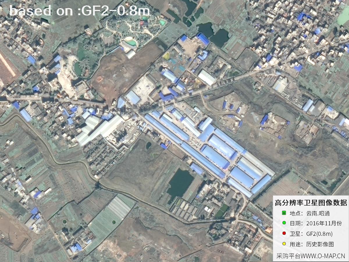
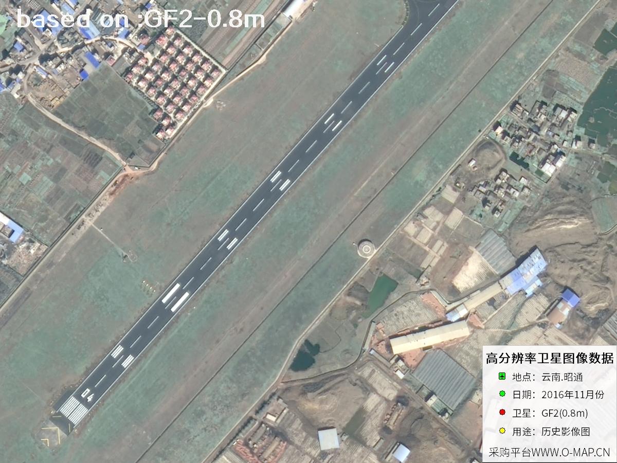
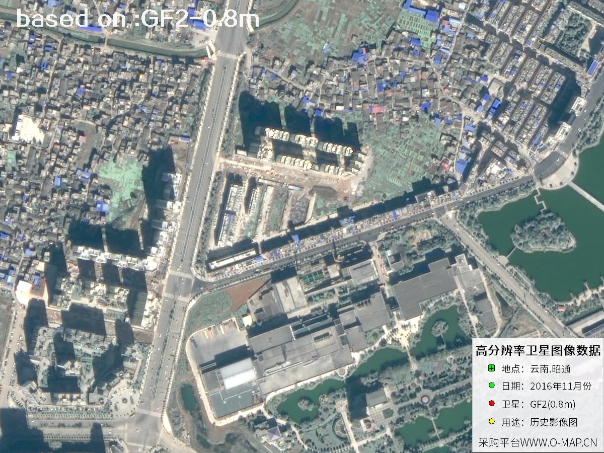
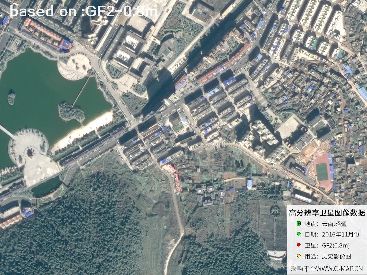
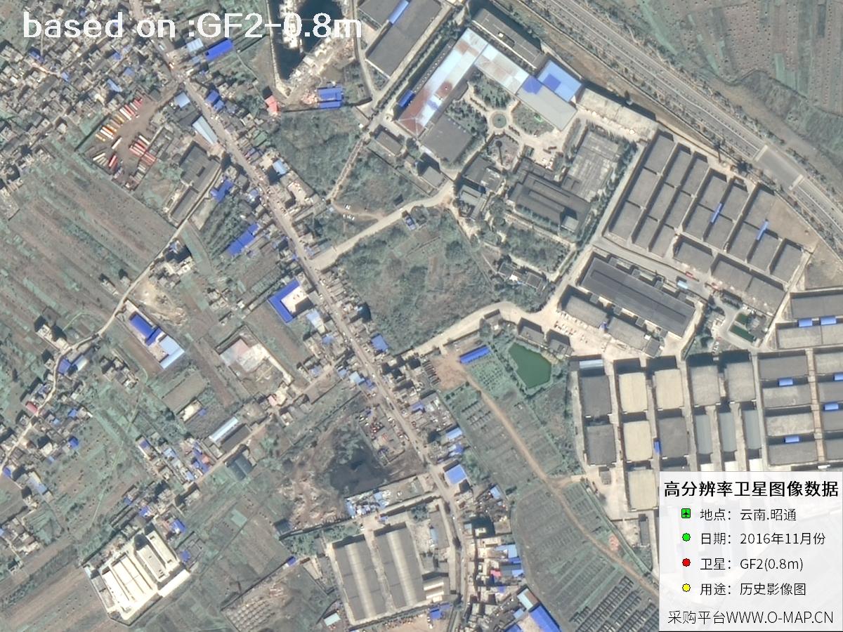
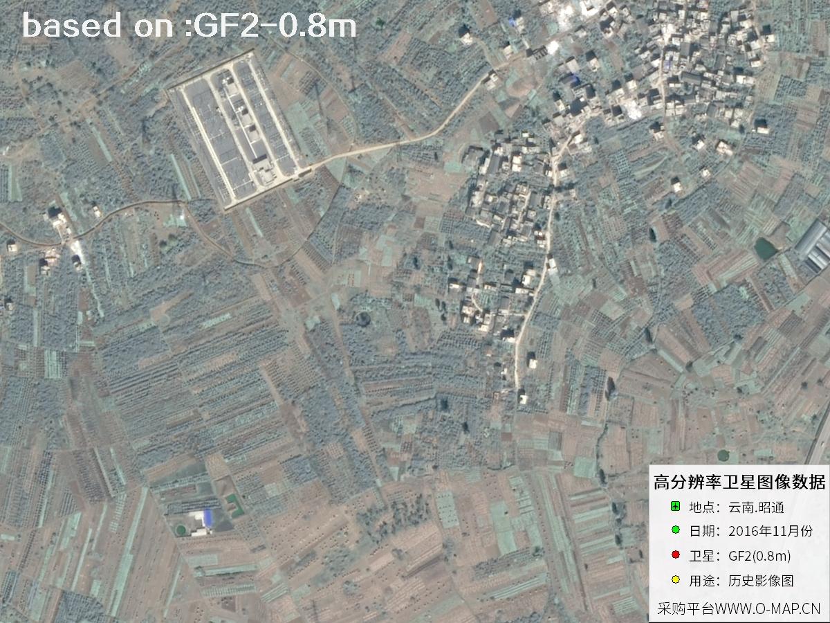
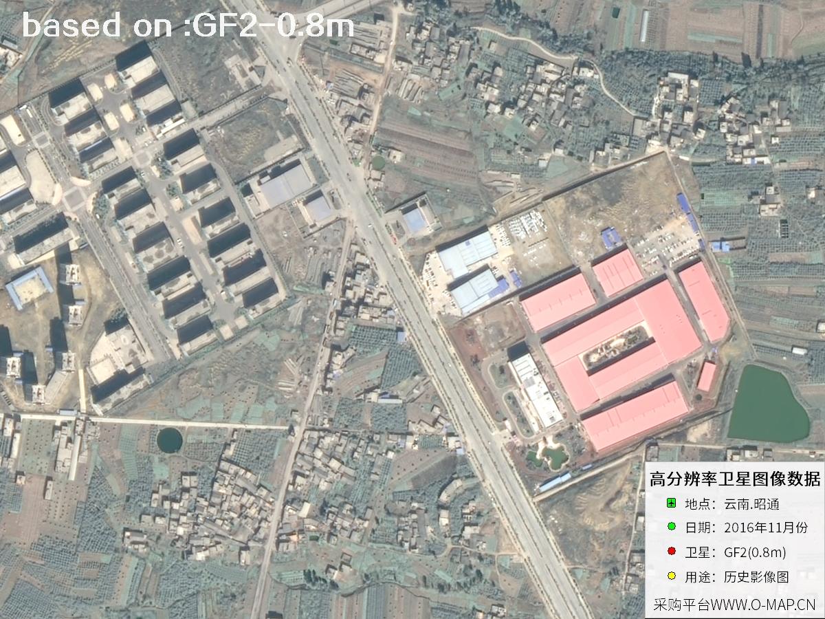
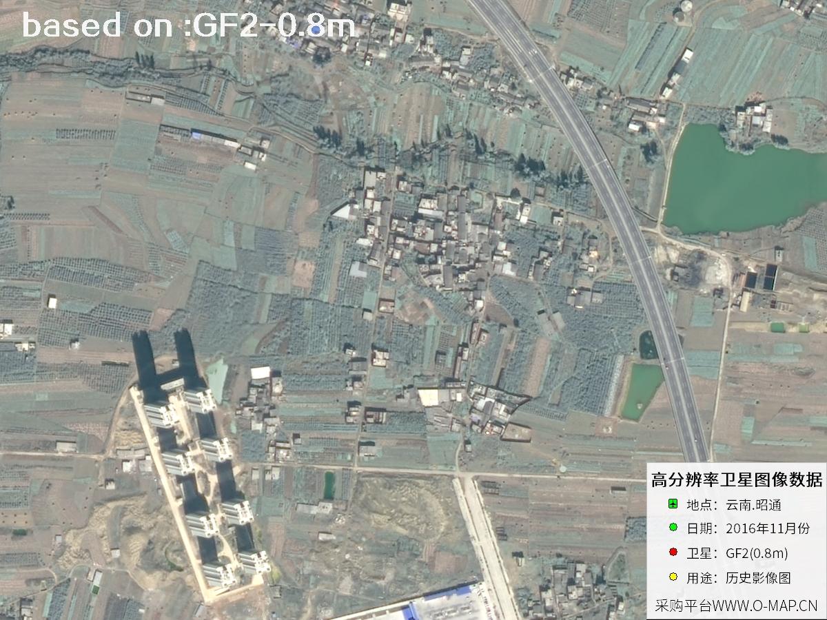
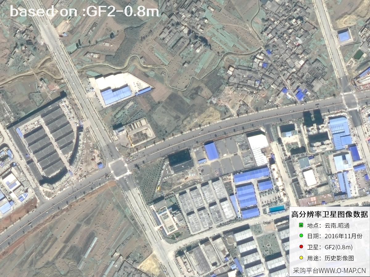
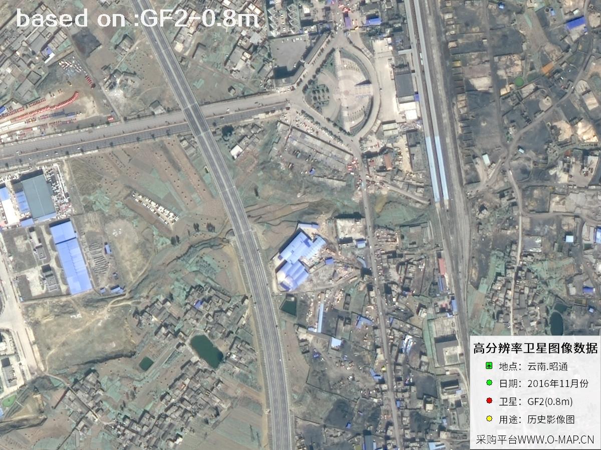
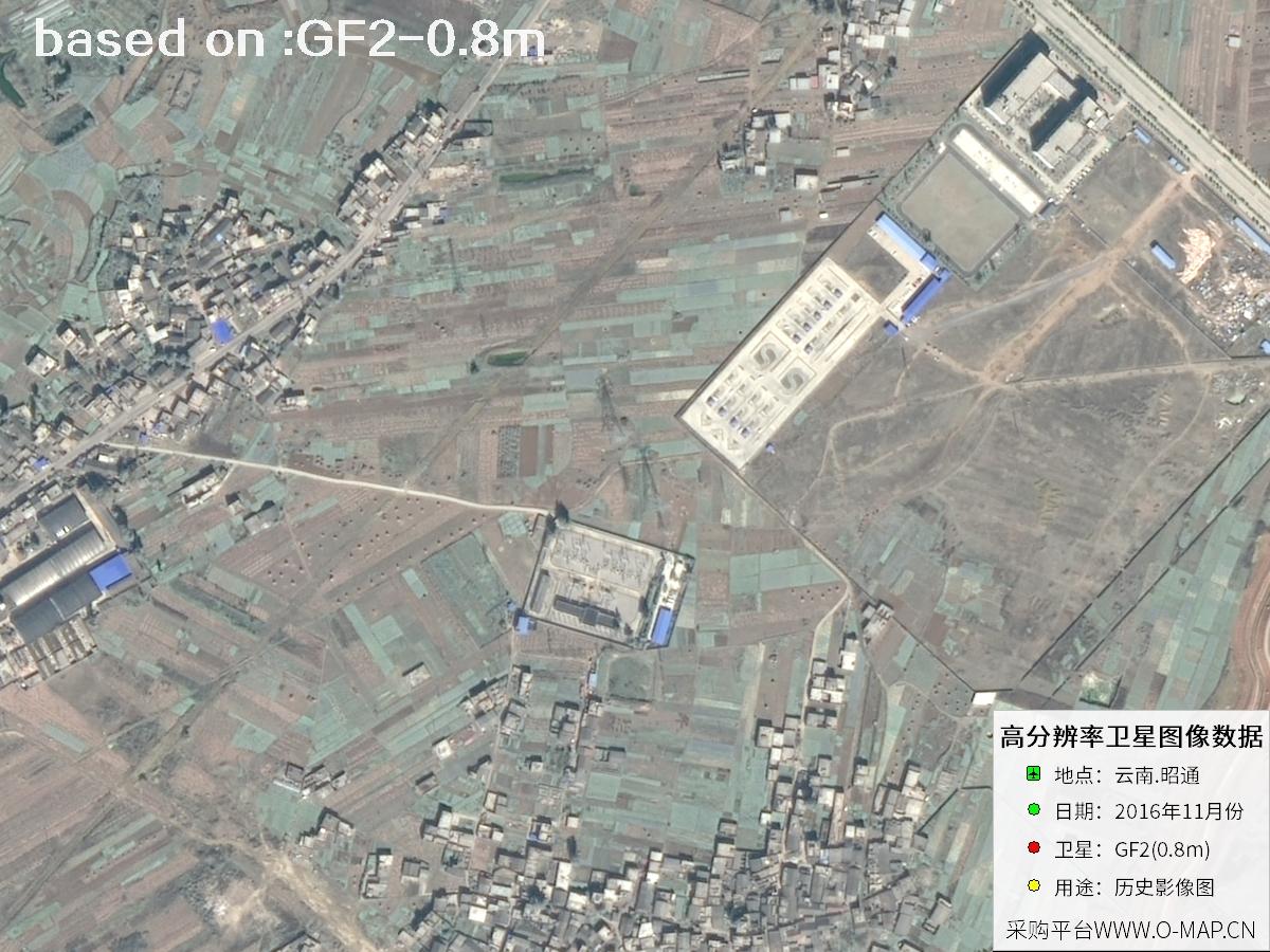
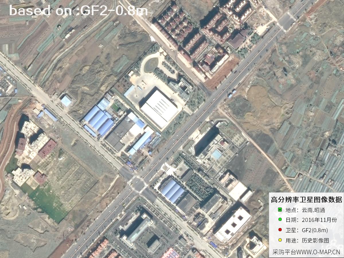
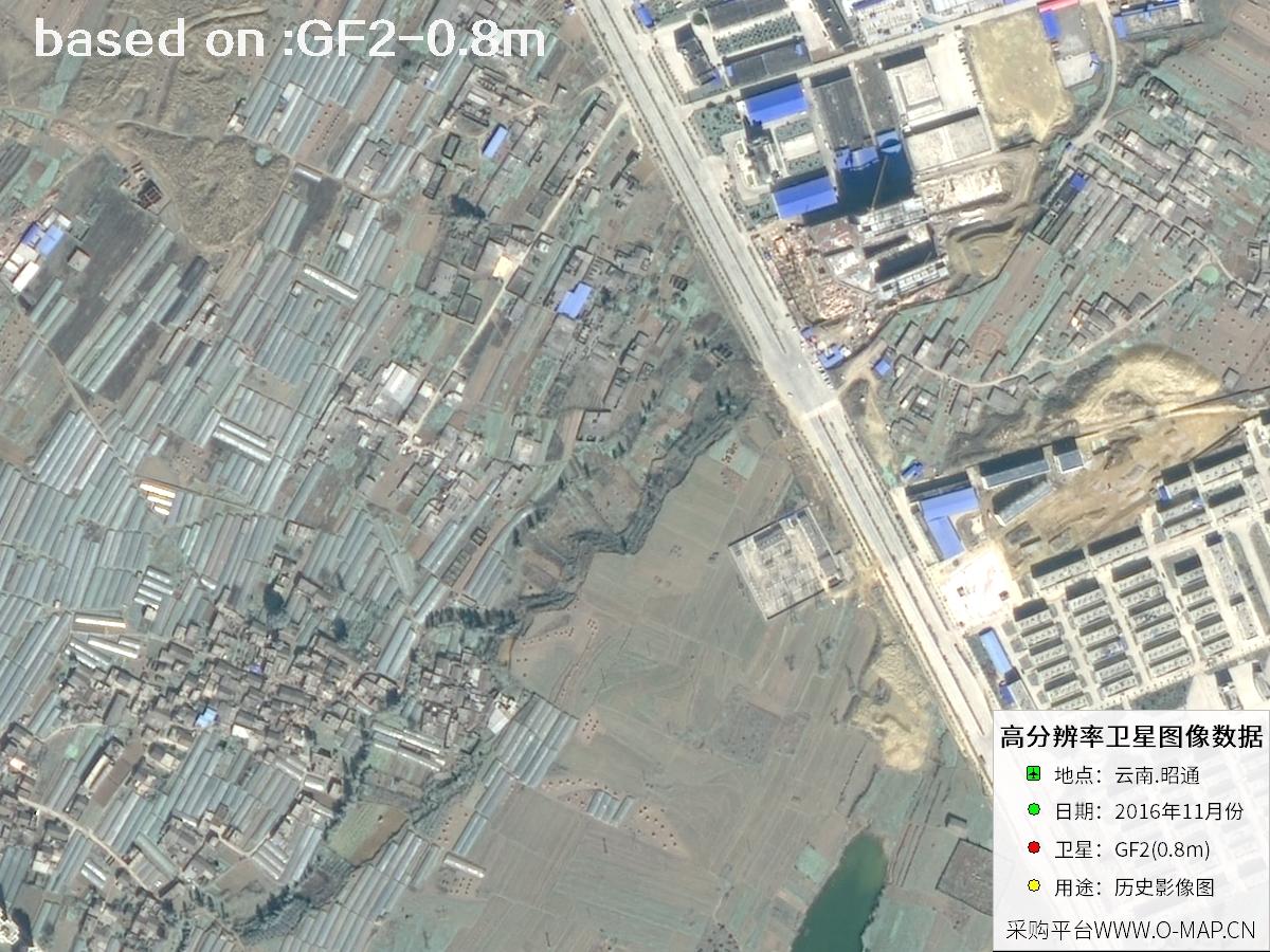
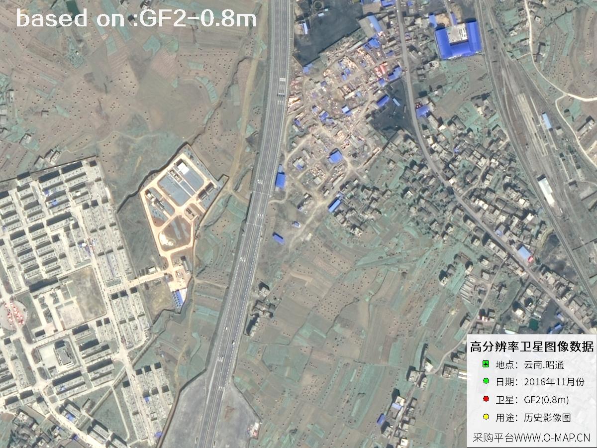
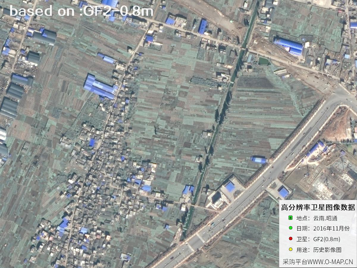
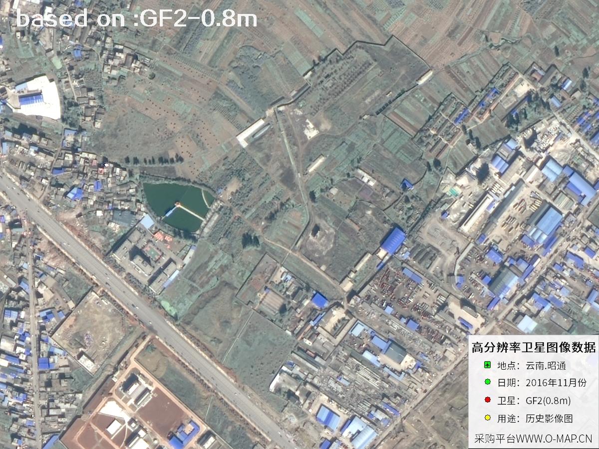
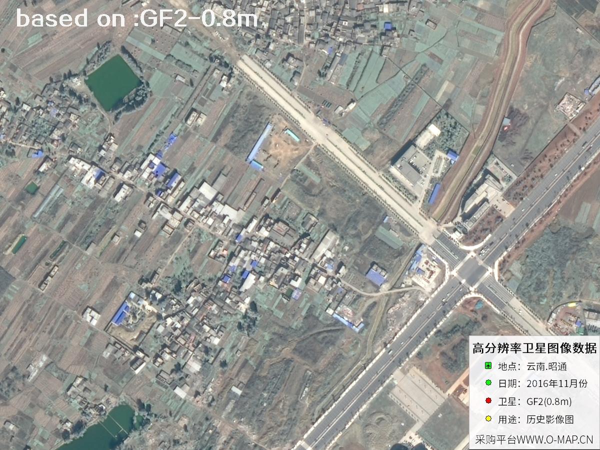
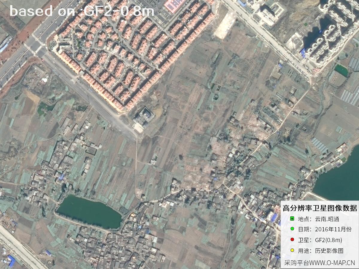
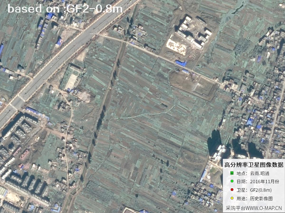
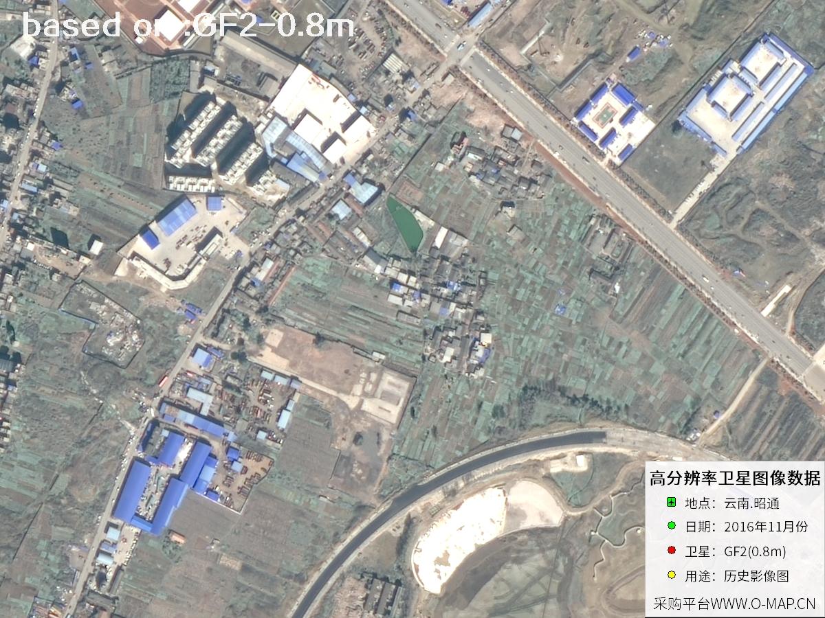
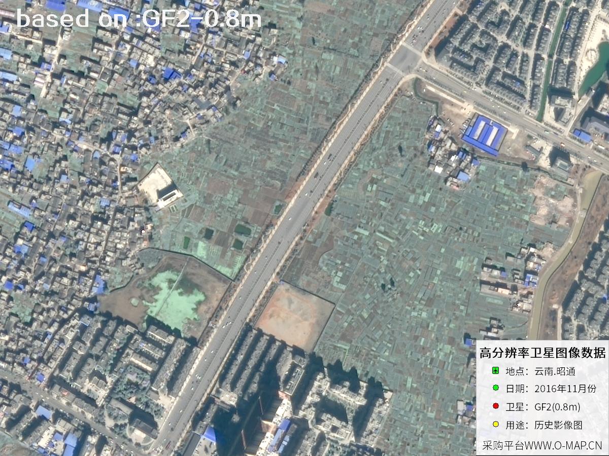
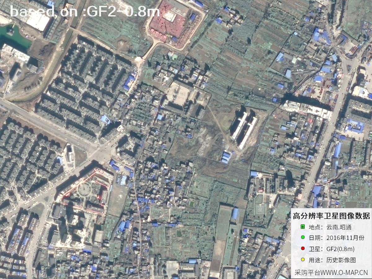
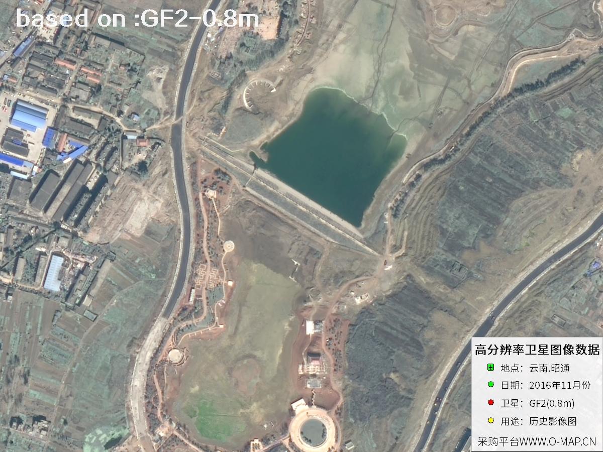
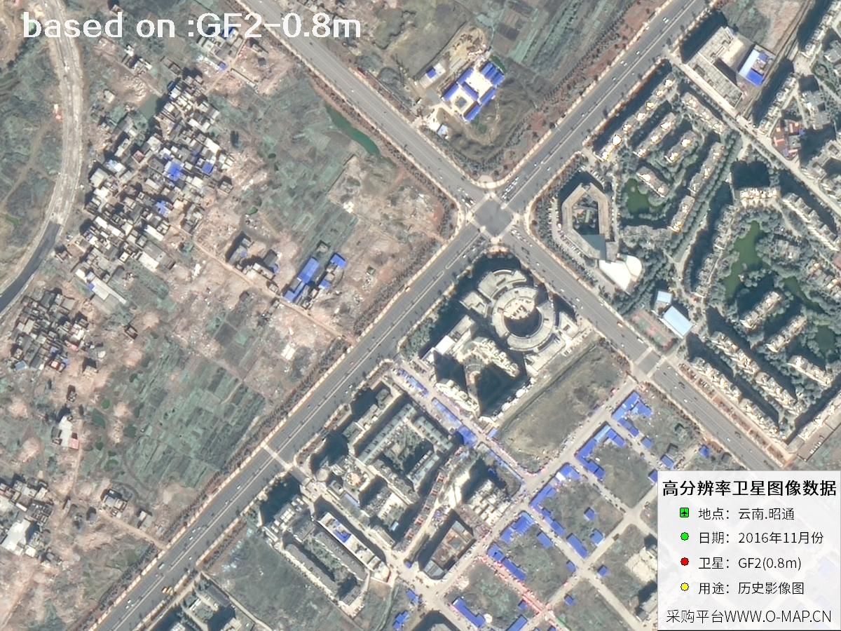
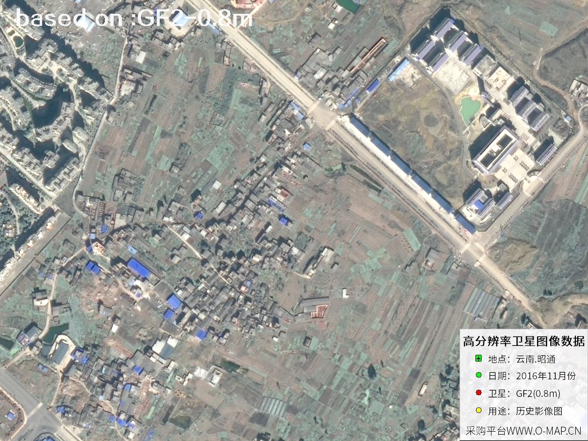
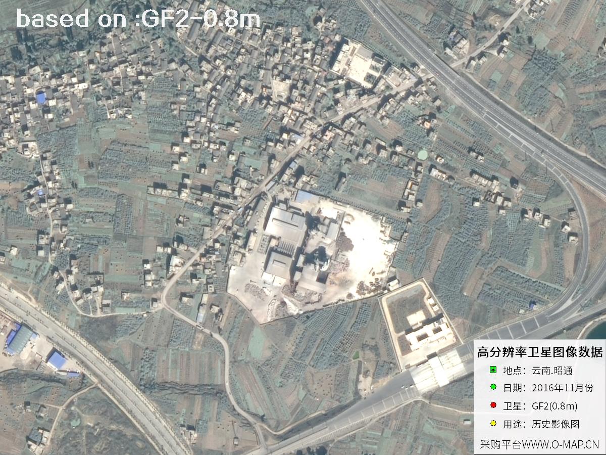
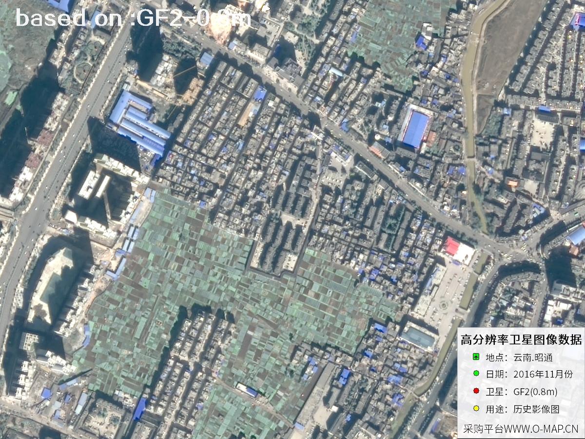
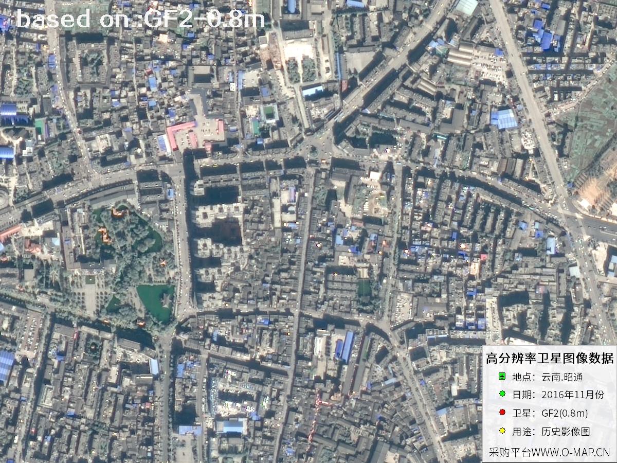
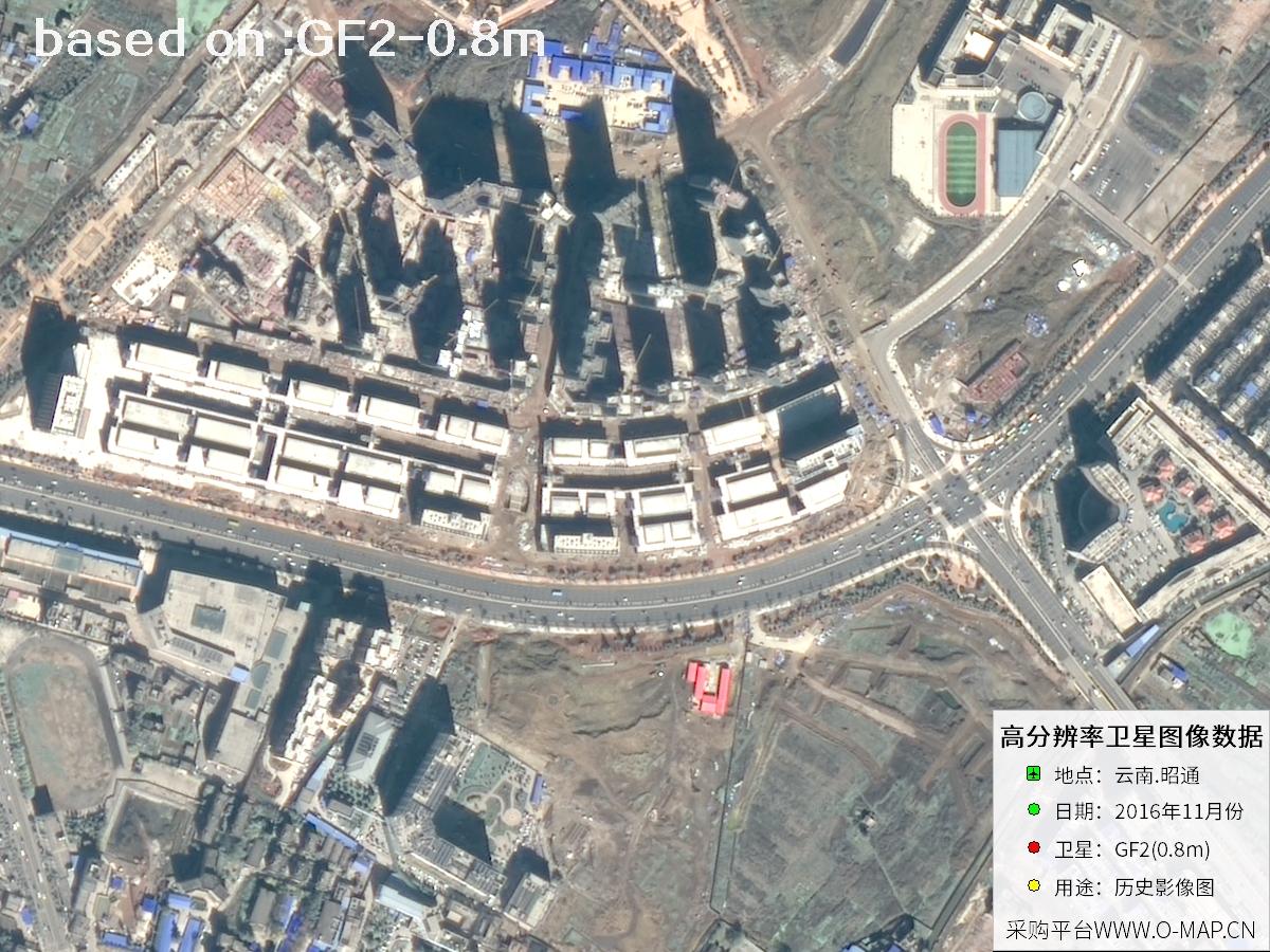
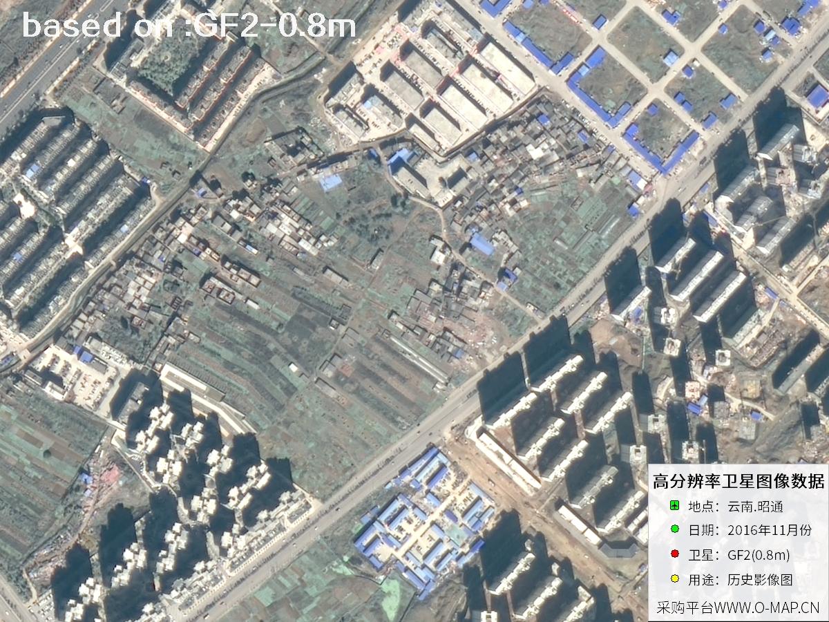
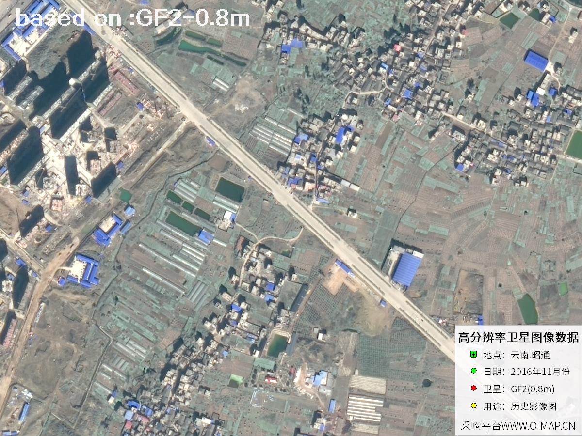
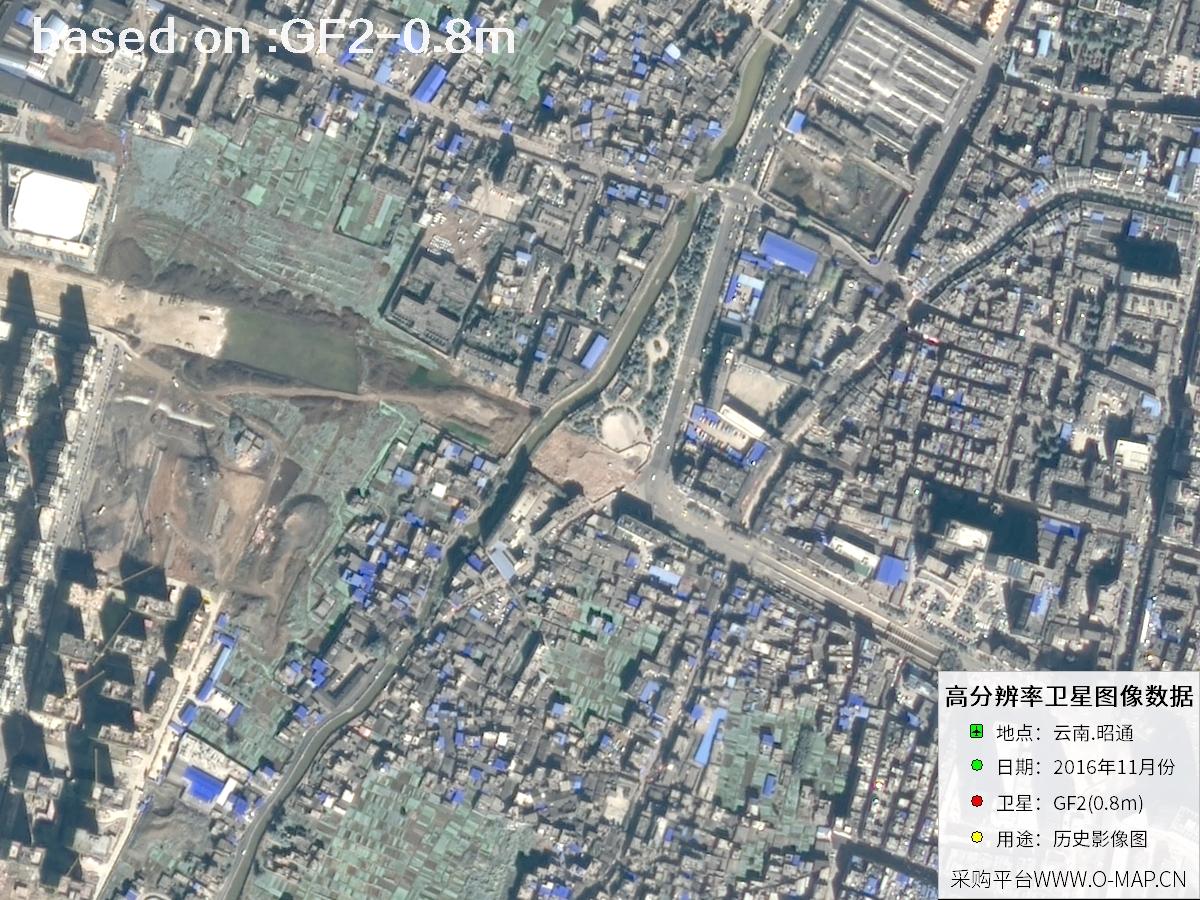
The images below are GF2 satellite historical images of Zhaotong, Yunnan, captured in November 2016.
- 🛰 GF2 Overview
- 📊 GF2 Key Specifications
GF2, also known as Gaofen-2, is a civil optical remote sensing satellite under China's Major Project on High-Resolution Earth Observation Systems. It was successfully launched on August 19, 2014 by a Long March 4B rocket from the Taiyuan Satellite Launch Center and operates in a sun-synchronous orbit at about 631 km. Carrying two high-resolution cameras, it can capture panchromatic and multispectral imagery simultaneously, with a ground sample distance better than 0.8 m. It is China's first civil optical remote sensing satellite with a resolution better than 1 m, marking the entry of China's civil remote sensing satellites into the sub-meter era.
GF2 offers high-precision positioning, agile maneuvering and fast revisit capability, with a swath of about 45 km that greatly improves data acquisition efficiency. It is mainly used in national land surveys, urban planning, land registration, road network design, agriculture and forestry resource surveys, and disaster emergency response, among other fields. For users who need to review historical surface conditions or carry out change comparison, the imagery GF2 has accumulated since 2014 is of considerable reference value.
🖼Zhaotong GF2 Satellite ImagesTotal: 48
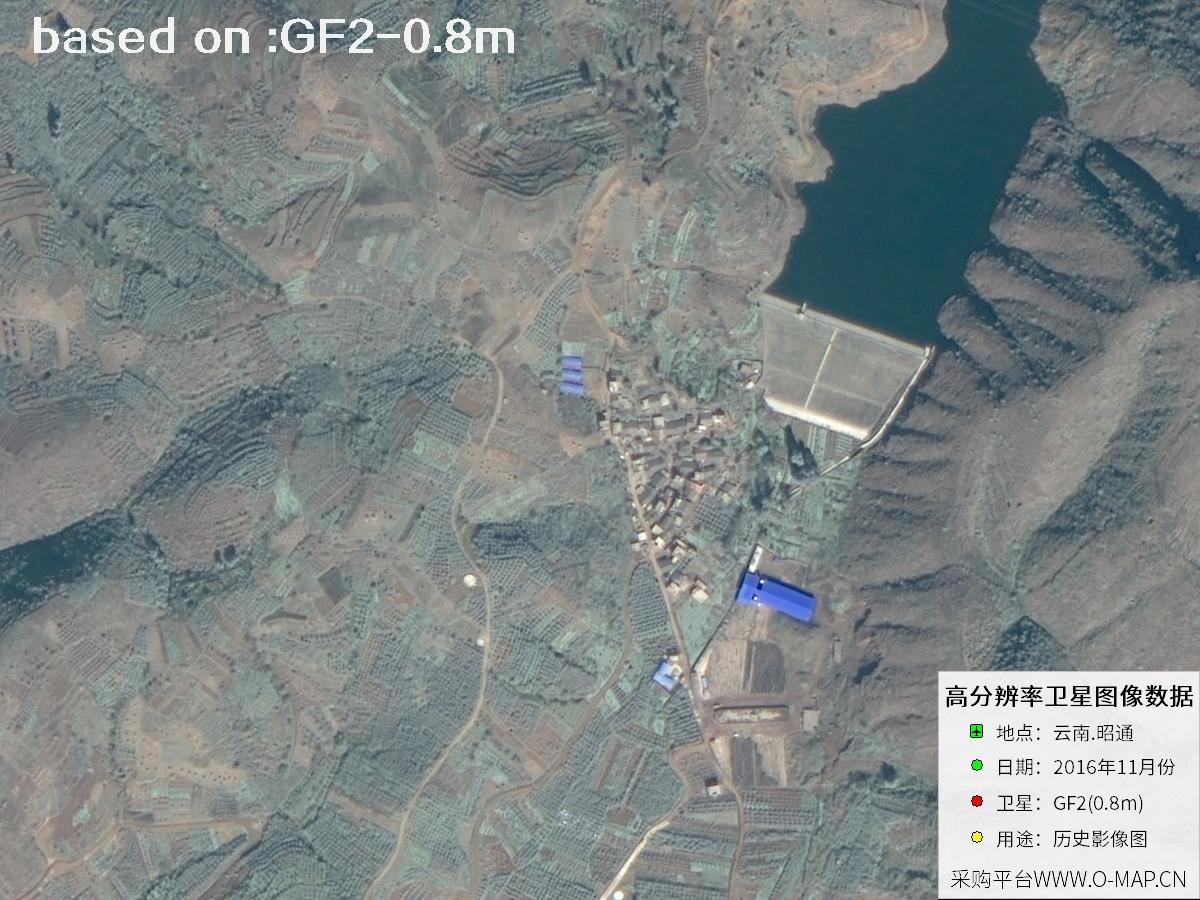 Sample
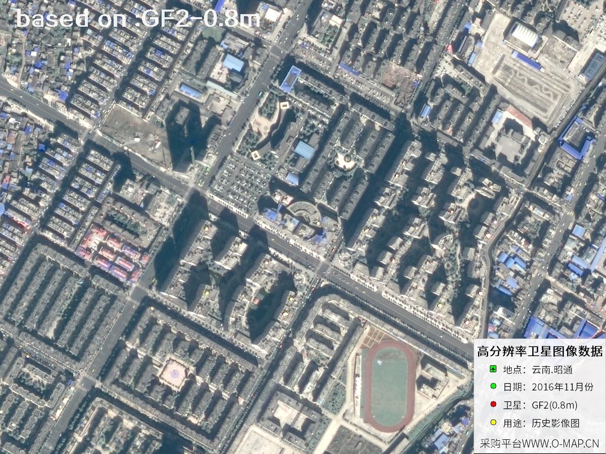 Sample
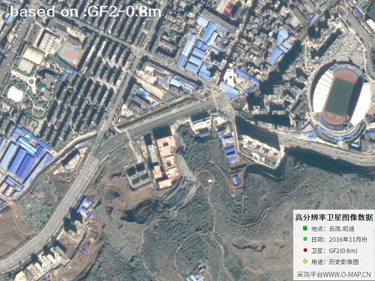 Sample
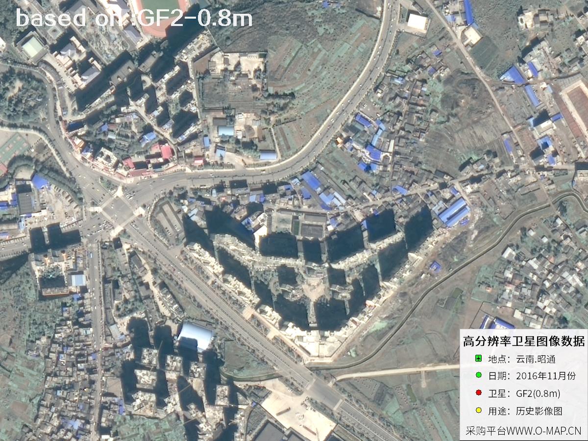 Sample
 Sample
 Sample
 Sample
 Sample
 Sample
 Sample
 Sample
 Sample
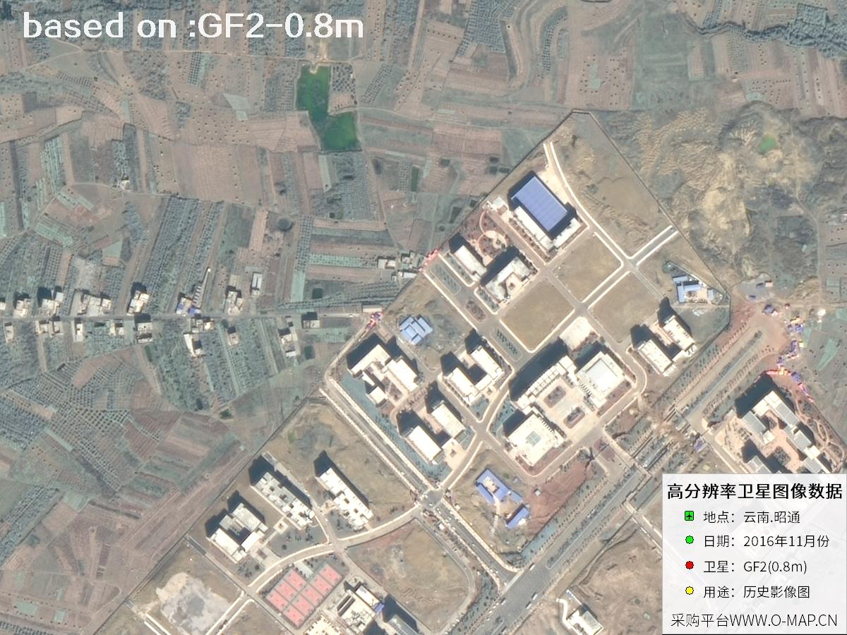 Sample
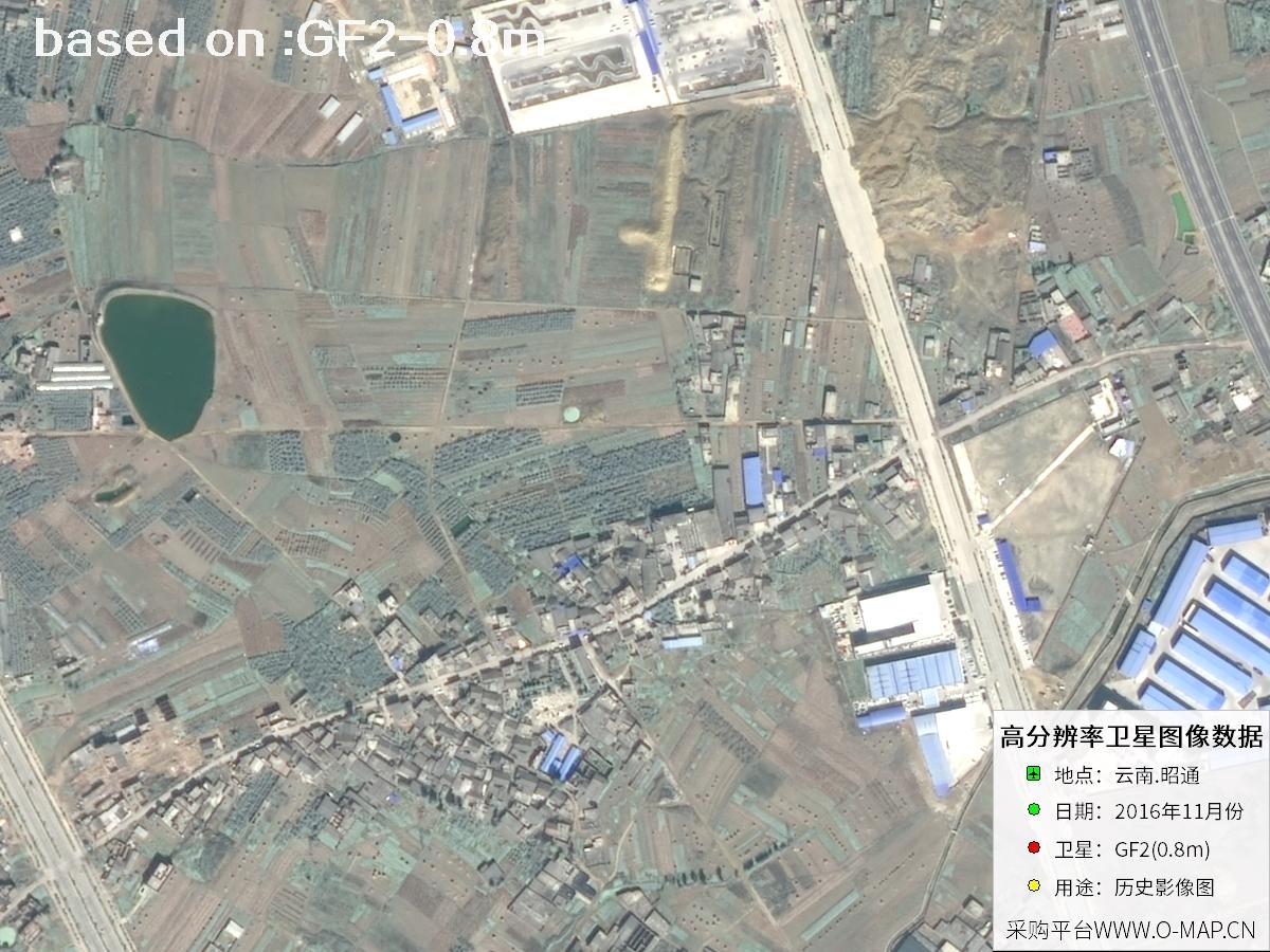 Sample
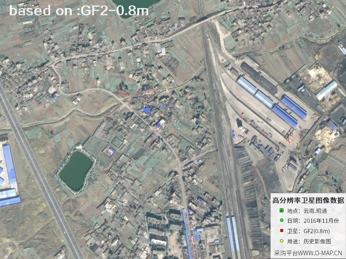 Sample
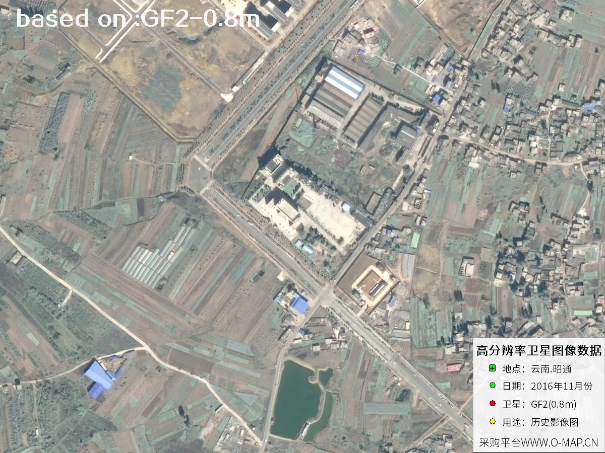 Sample
 Sample
 Sample
 Sample
 Sample
 Sample
 Sample
 Sample
 Sample
 Sample
 Sample
 Sample
 Sample
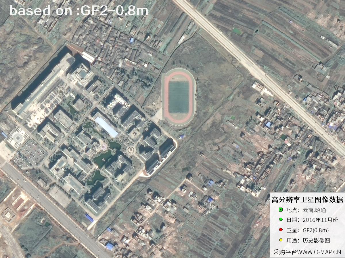 Sample
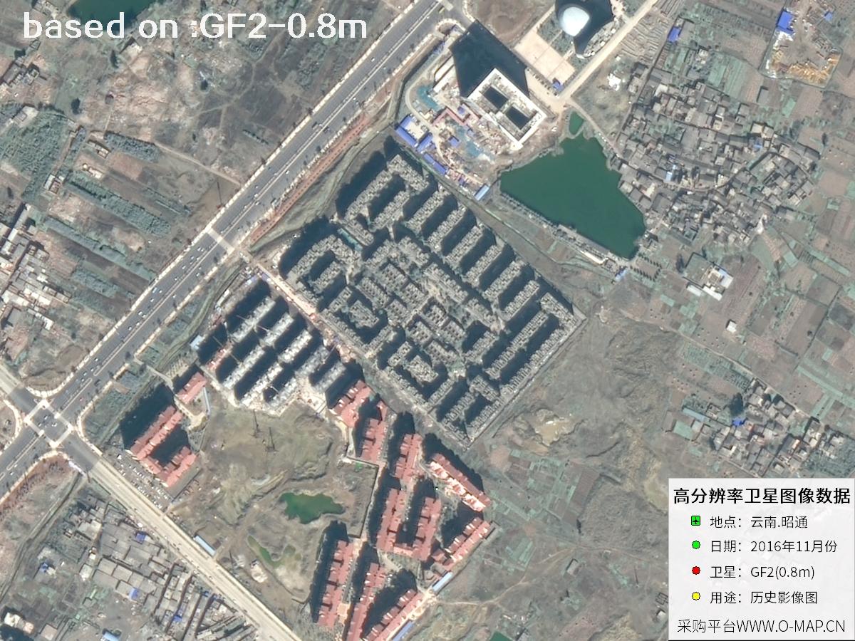 Sample
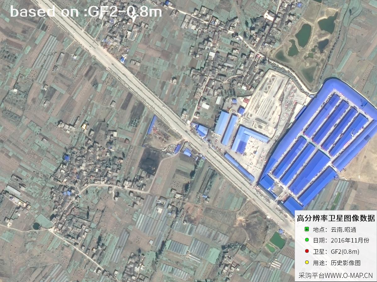 Sample
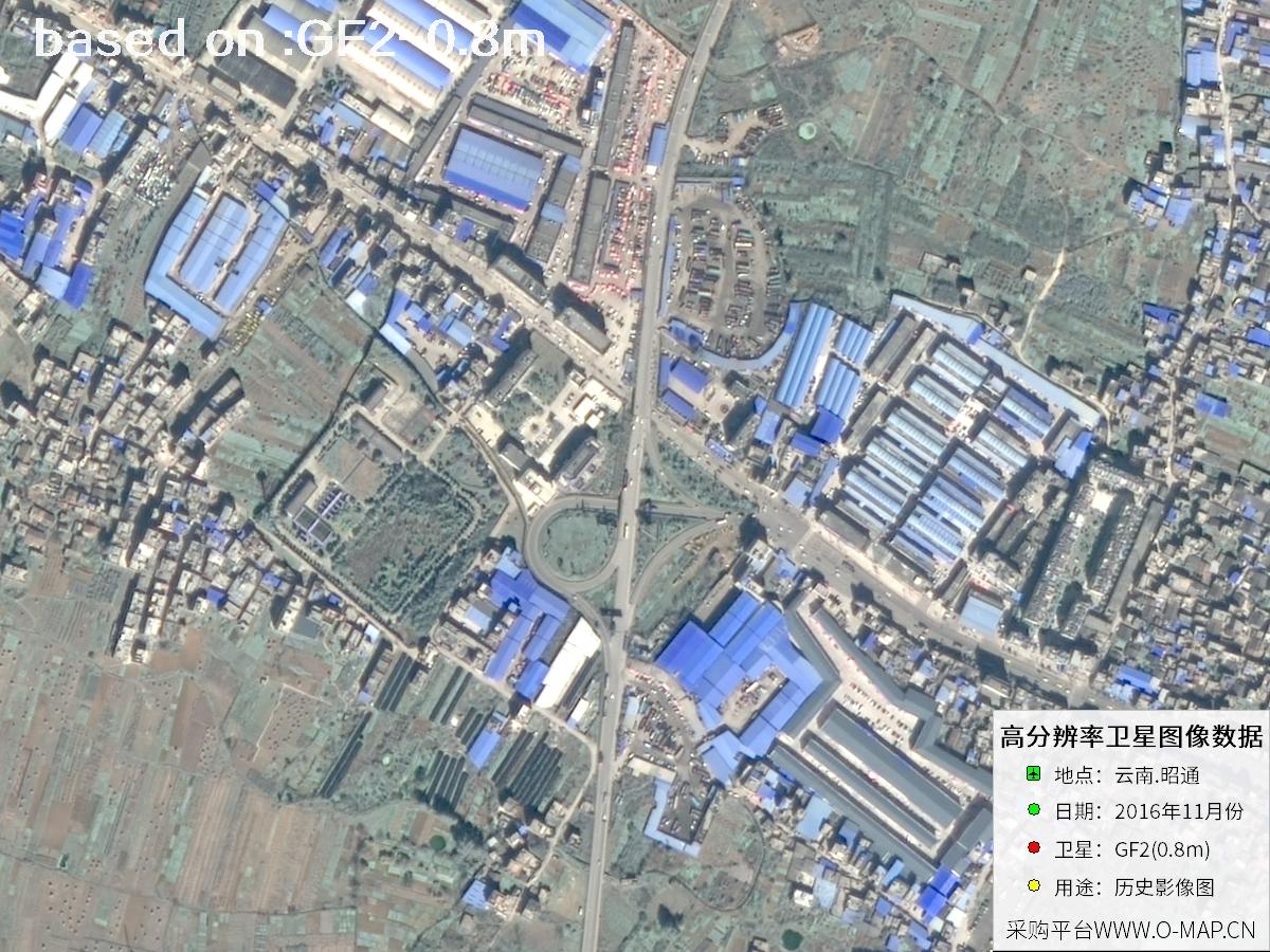 Sample
 Sample
 Sample
 Sample
 Sample
 Sample
 Sample
 Sample
 Sample
 Sample
 Sample
 Sample
 Sample
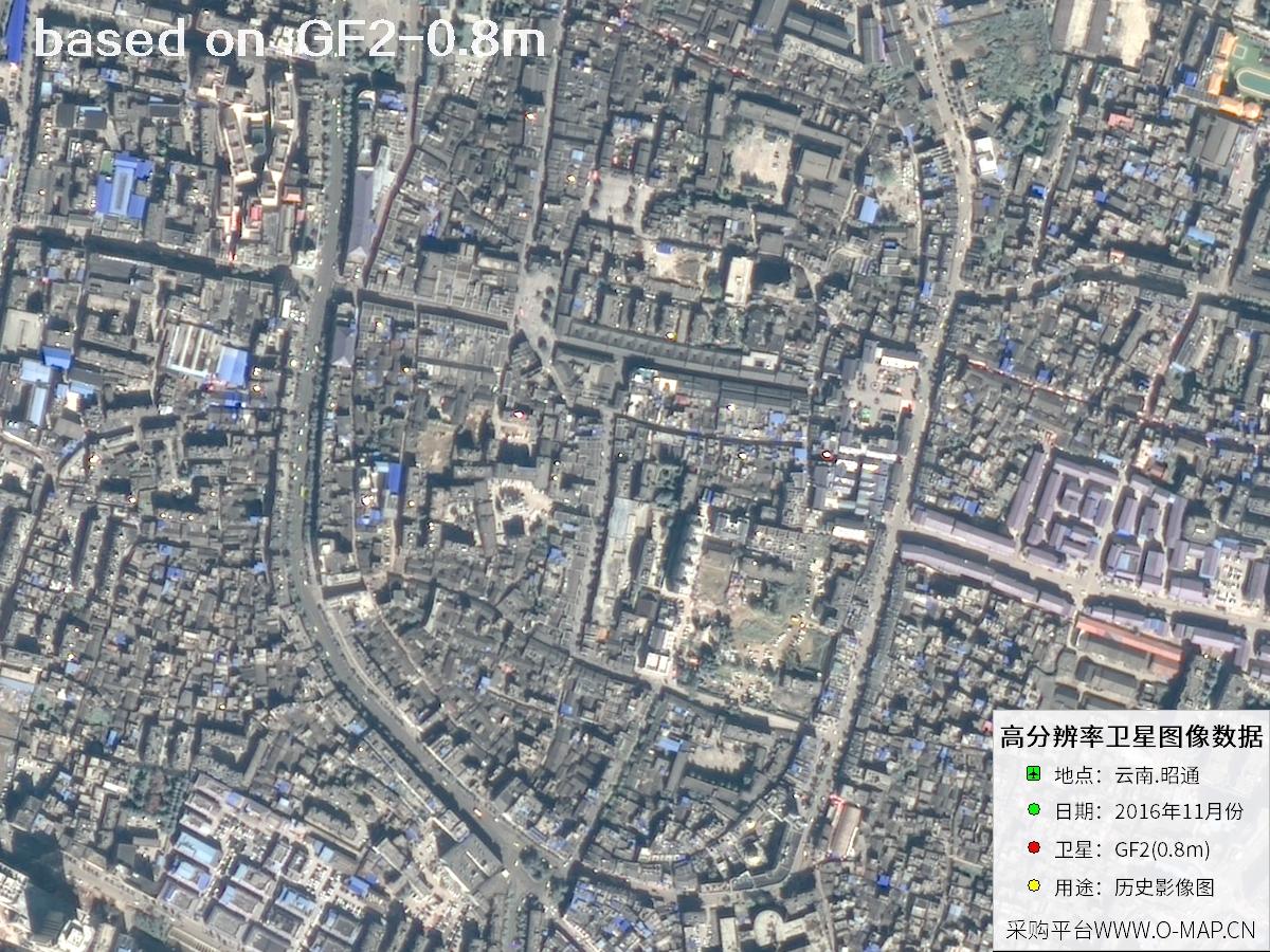 Sample
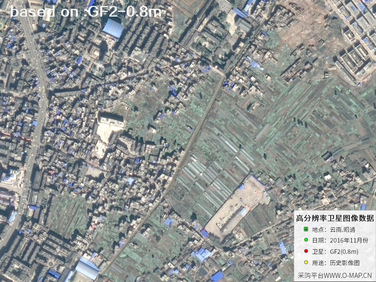 Sample
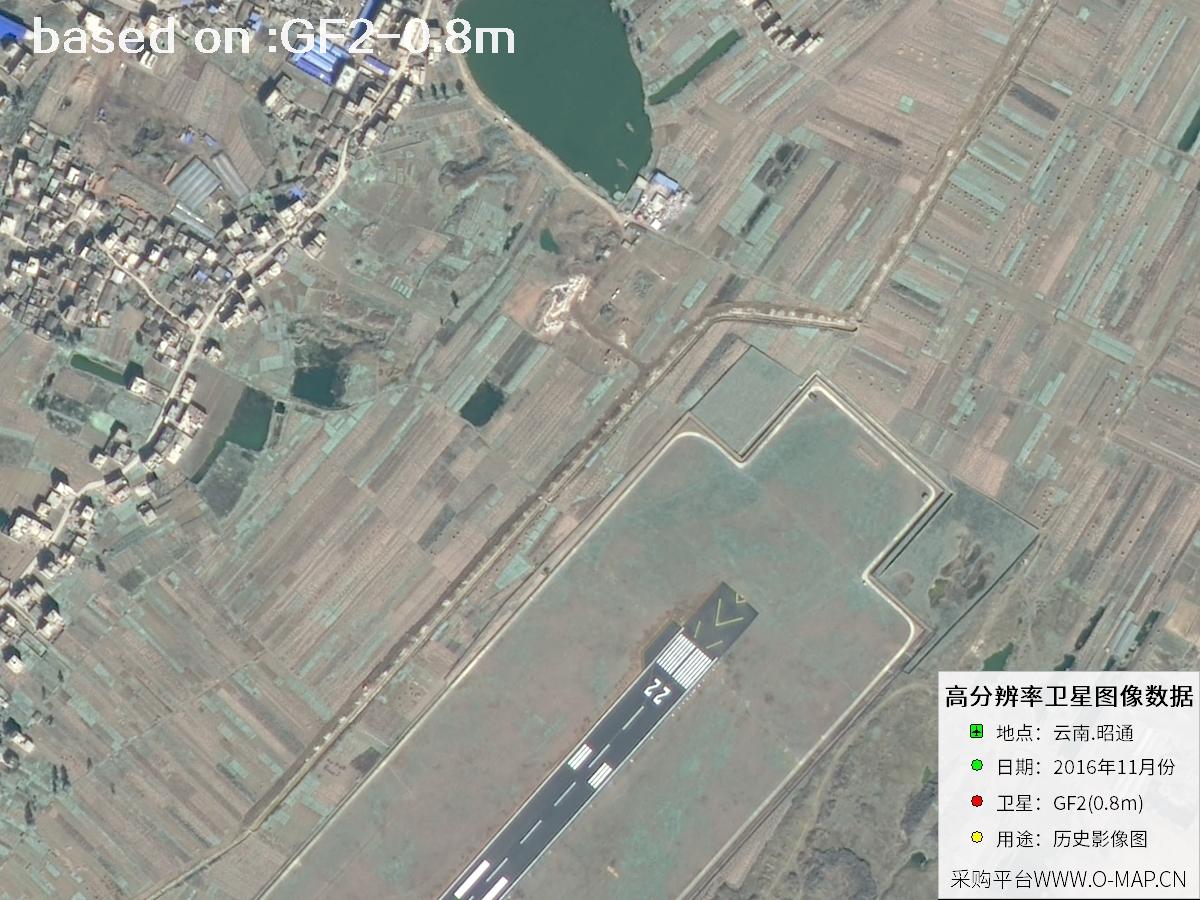 Sample
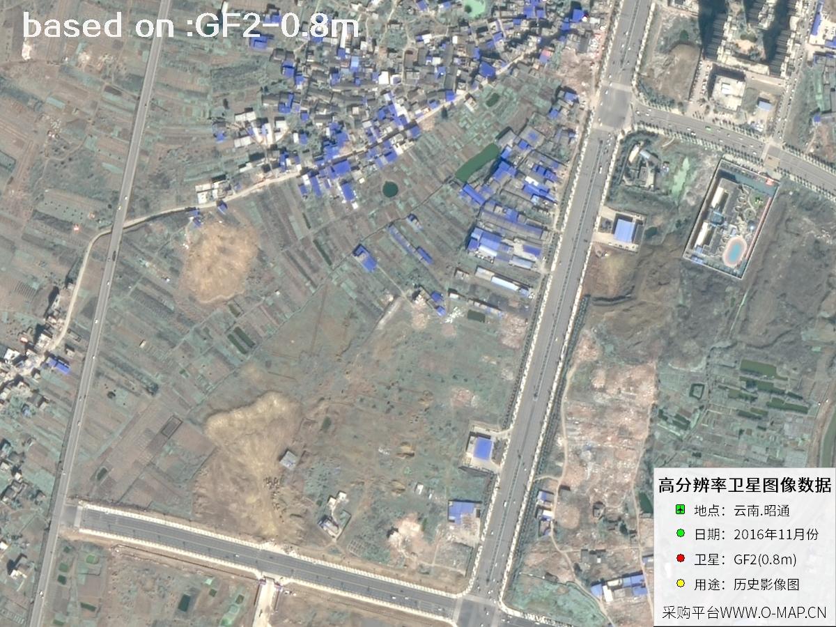 Sample