🛰️GF2 Satellite Image of Aleppo Airport, Northern Syria | Buy GF2 Satellite Image | buy China GF2 satellite image
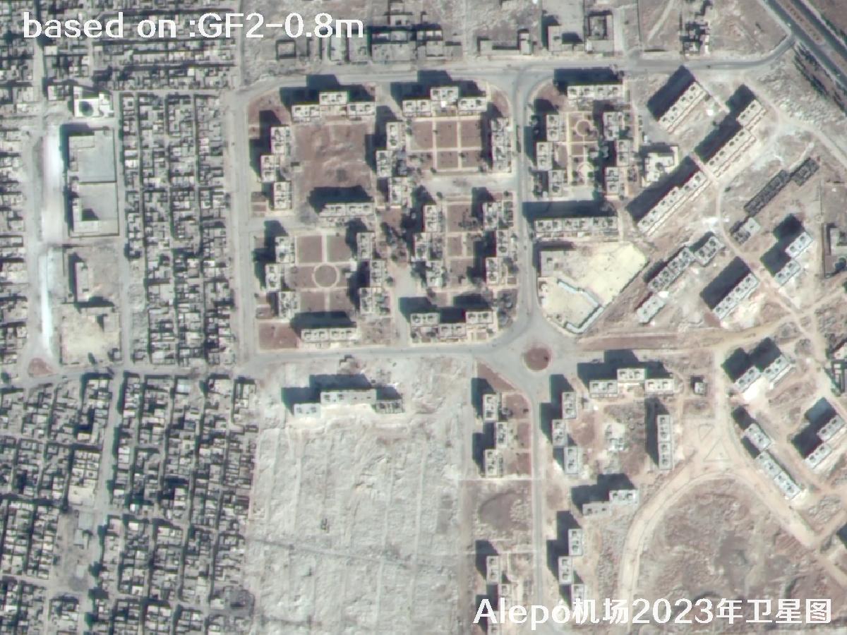
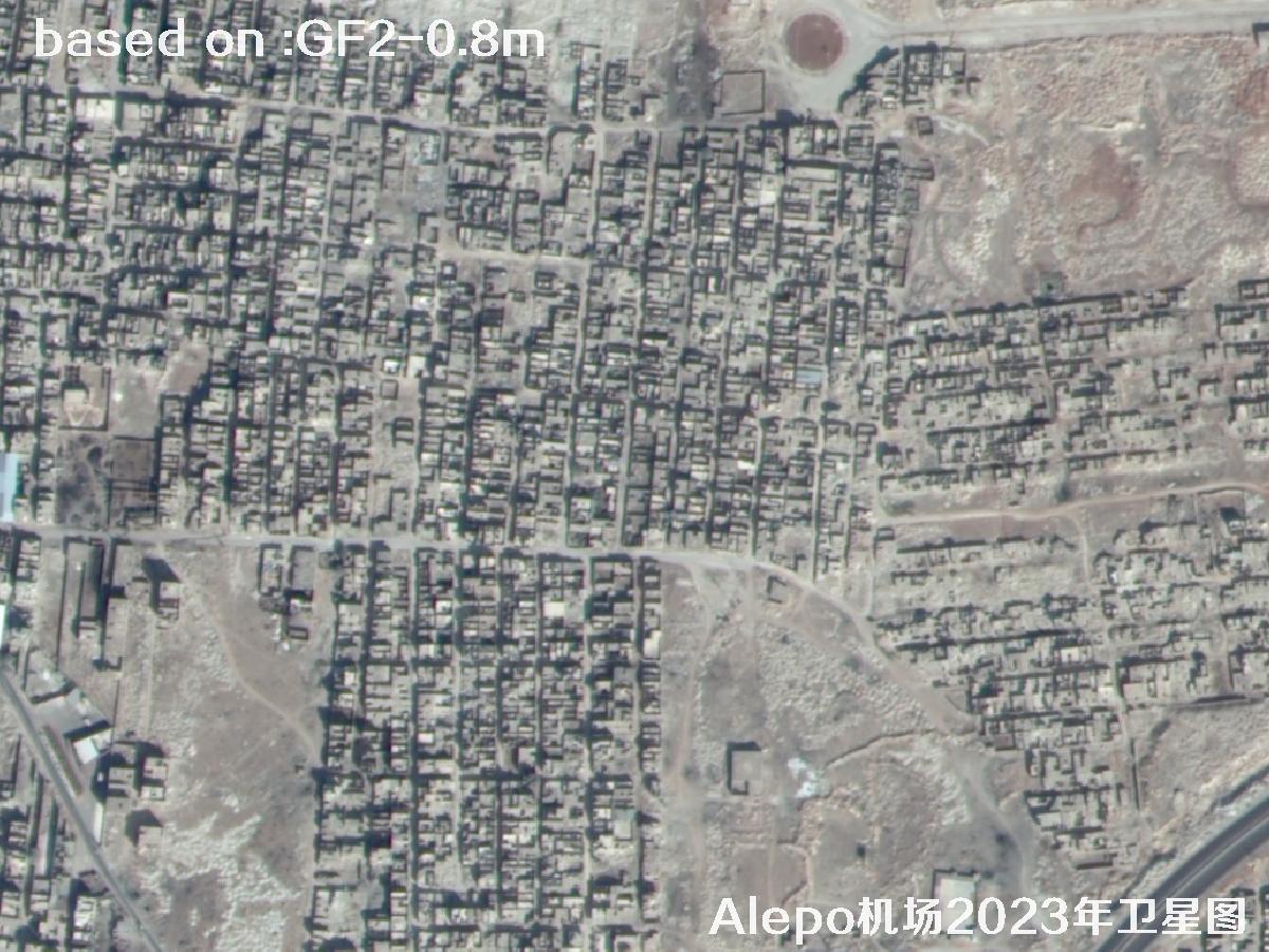
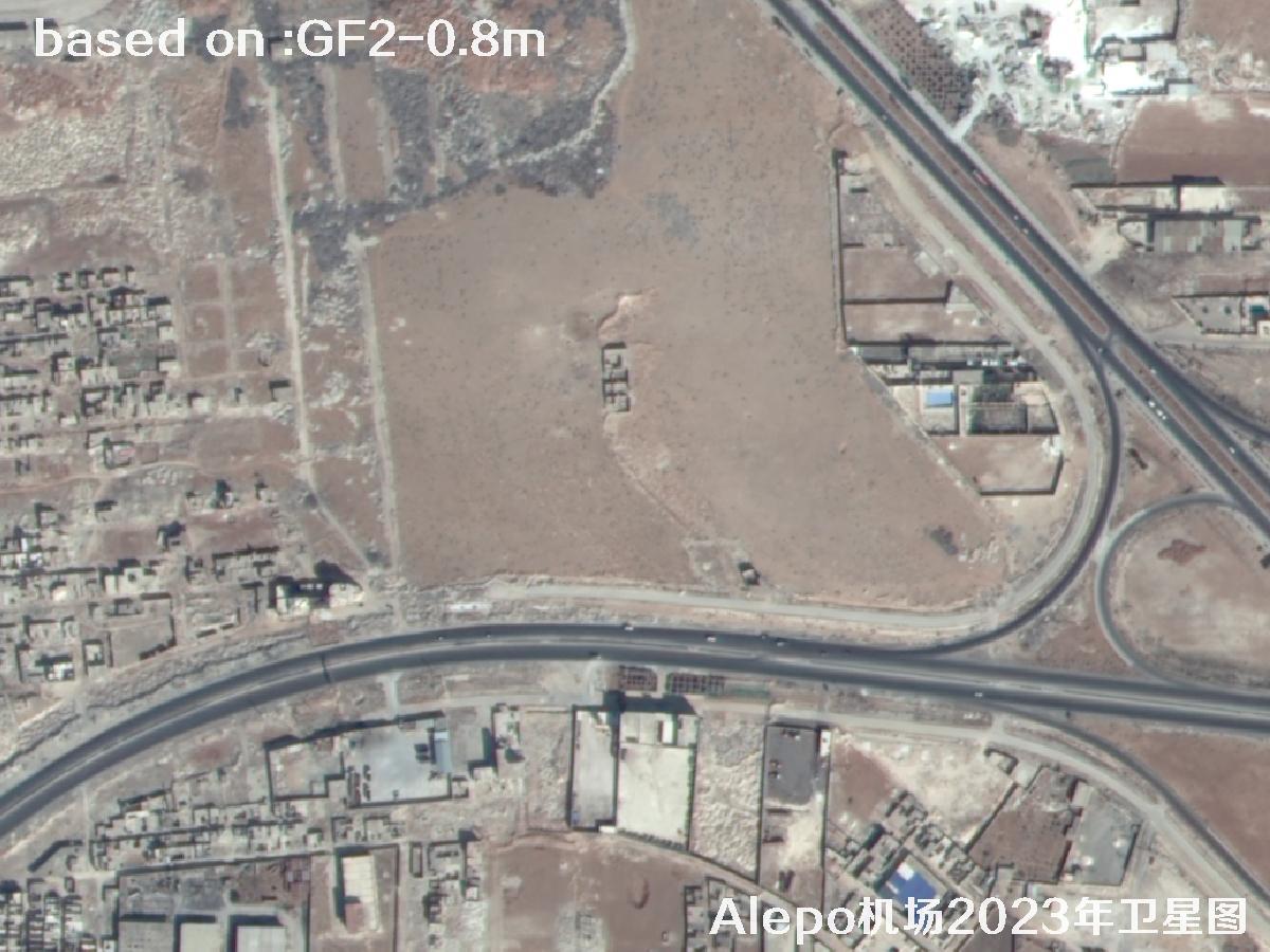
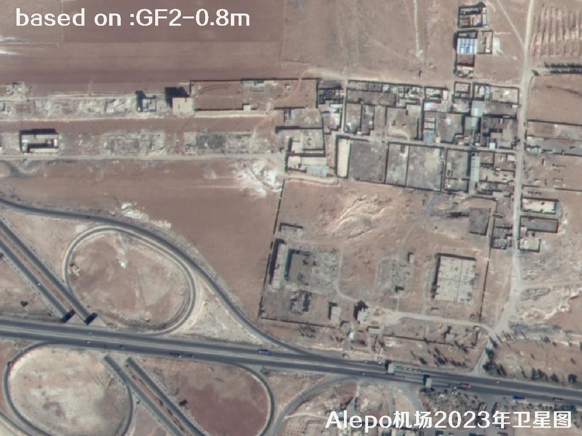
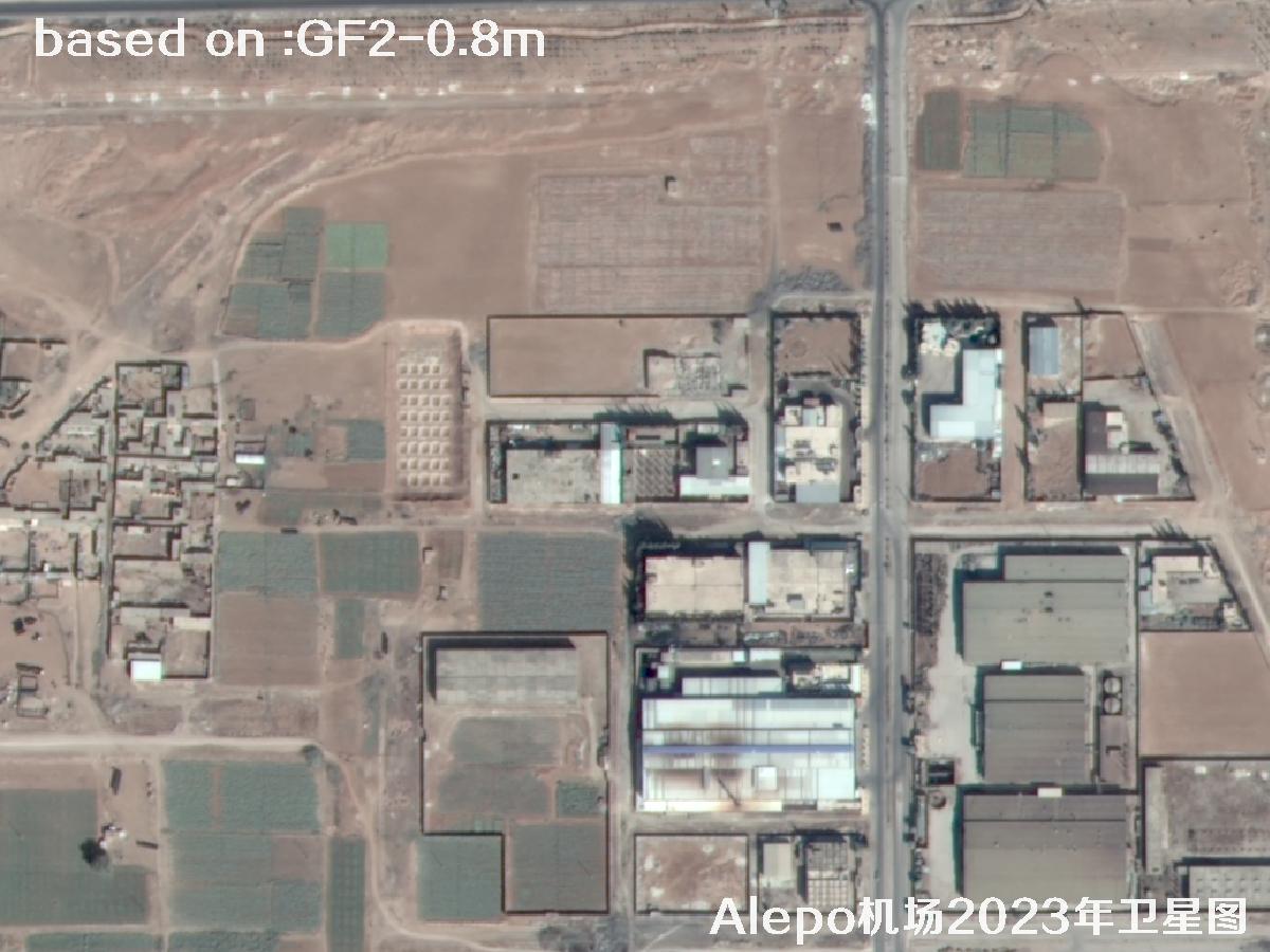
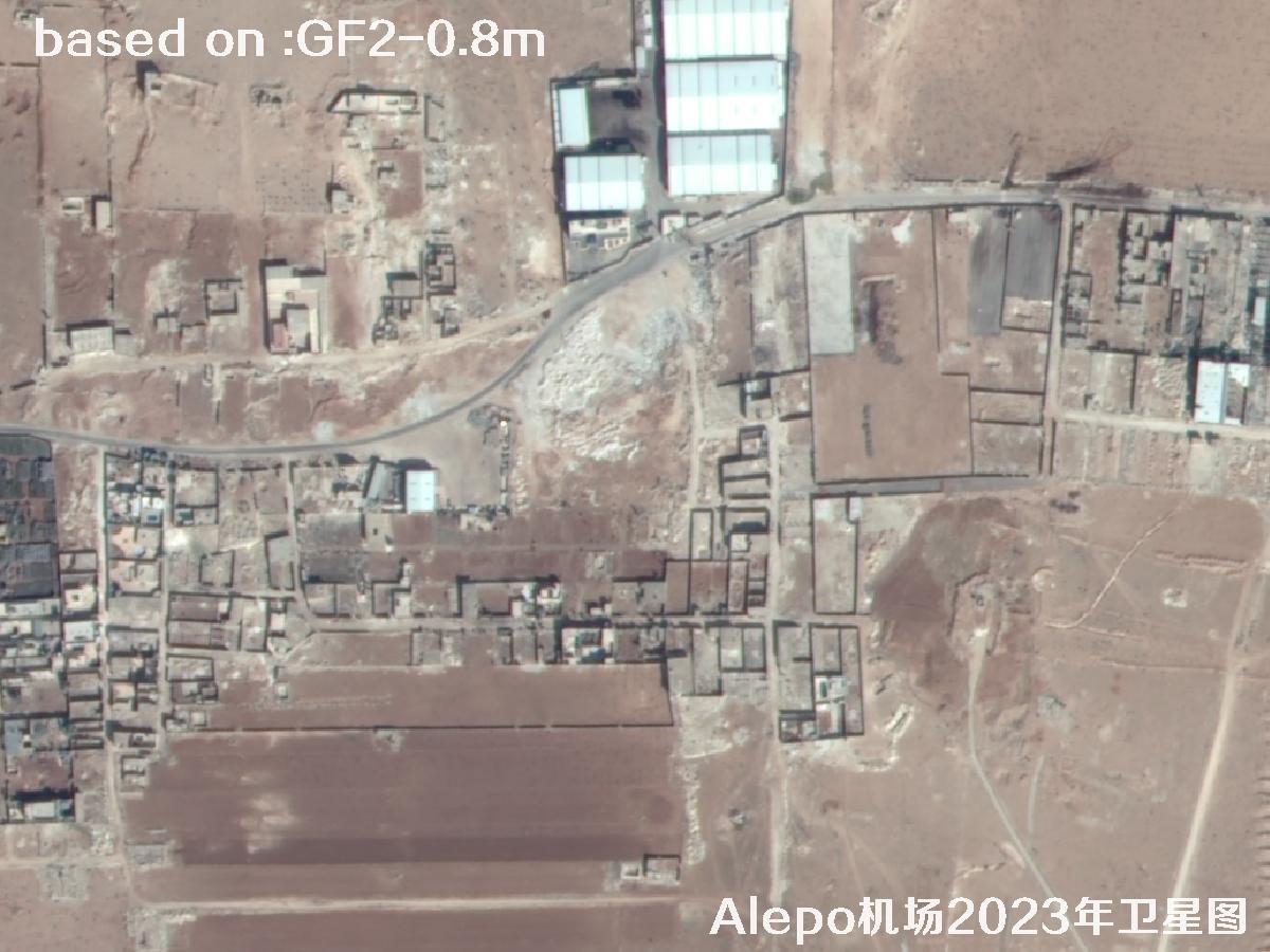
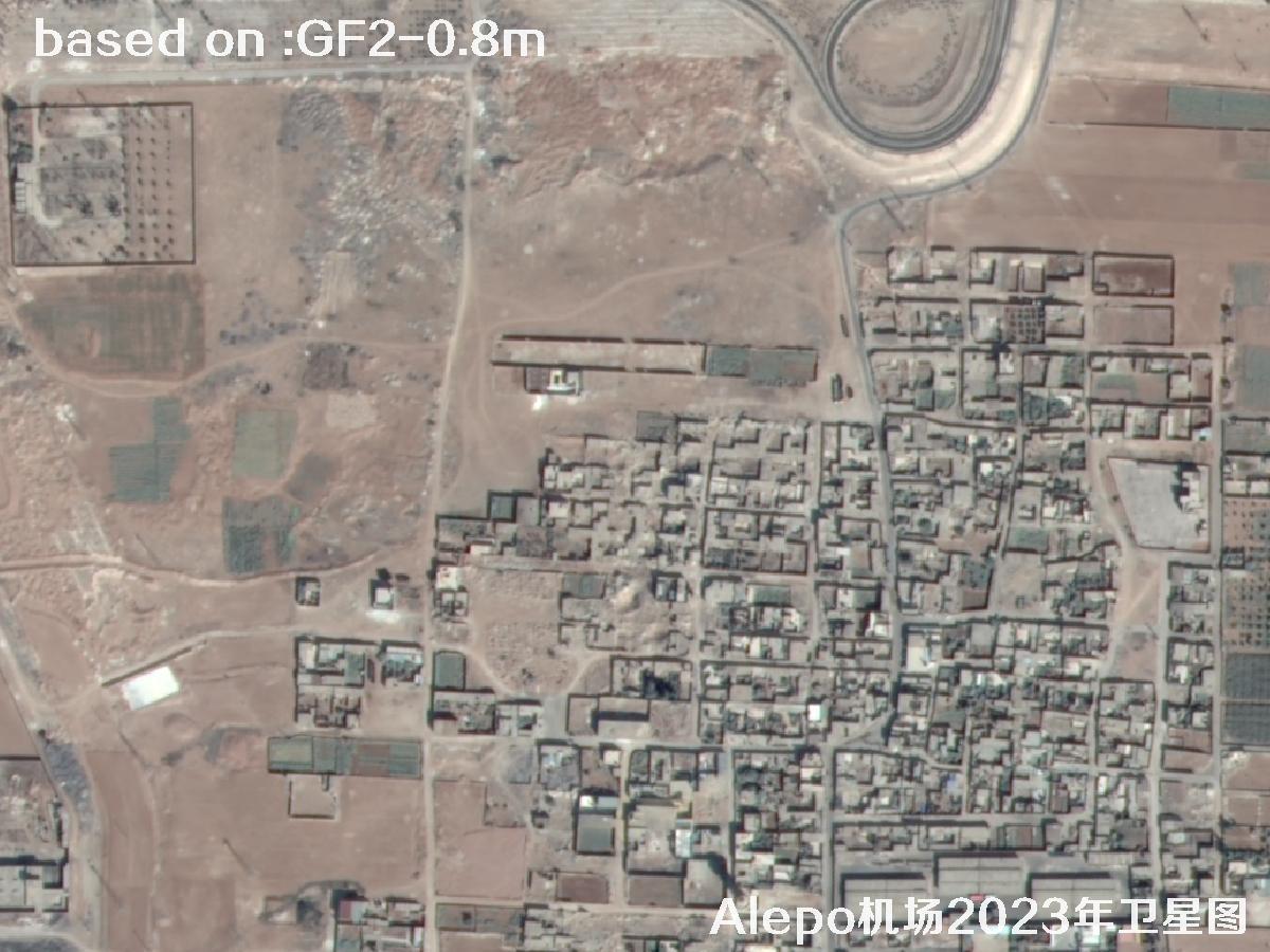
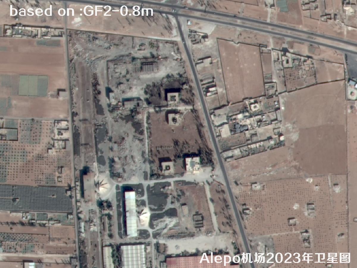
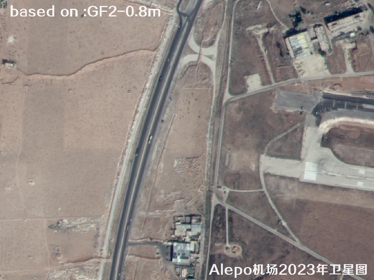
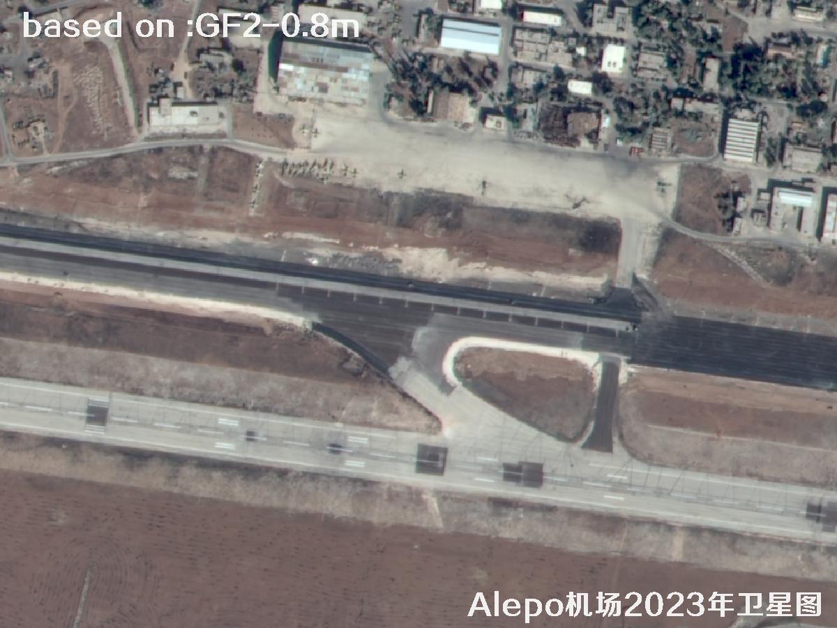
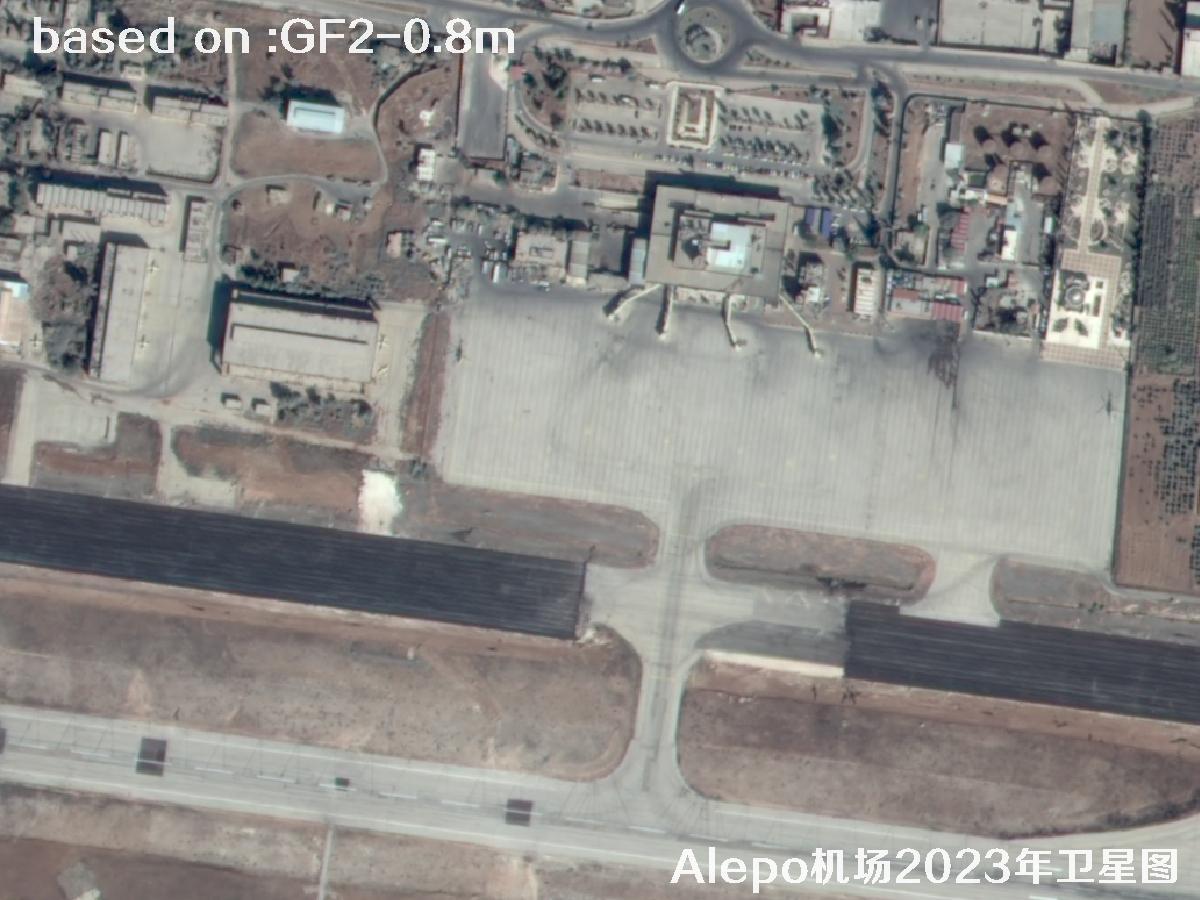
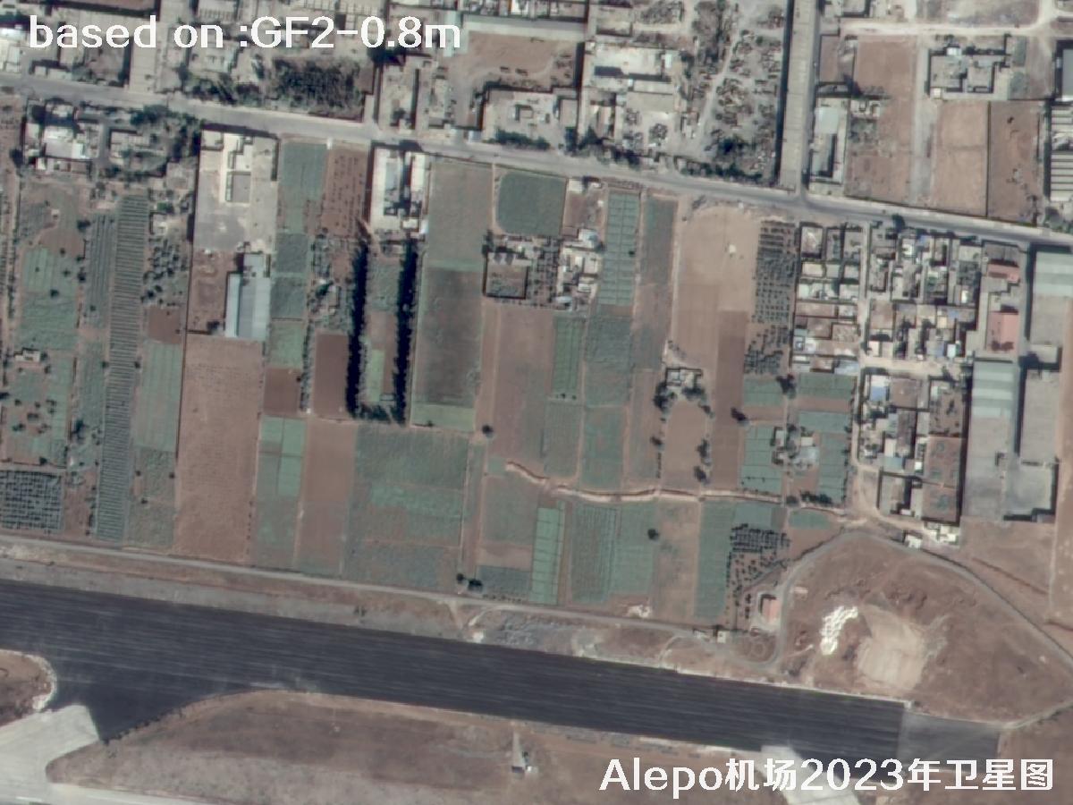
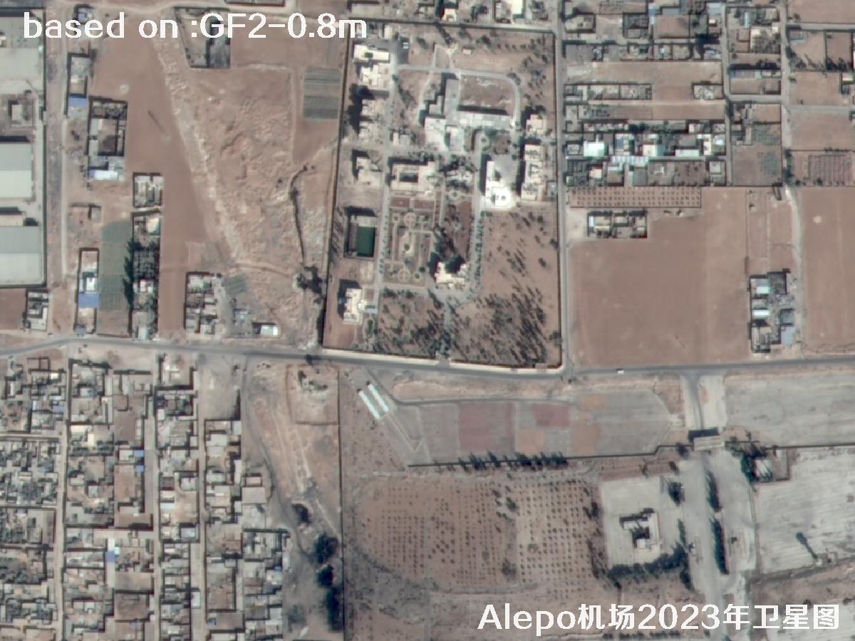
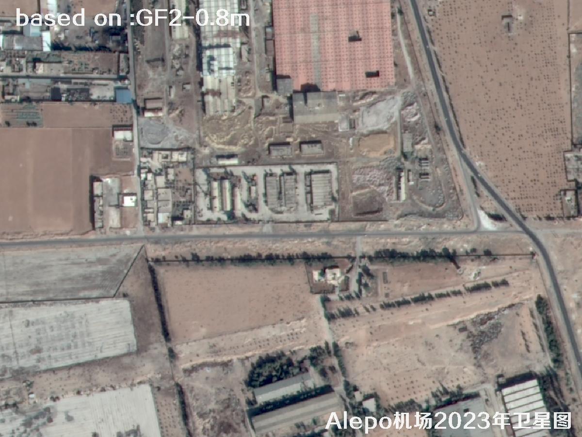
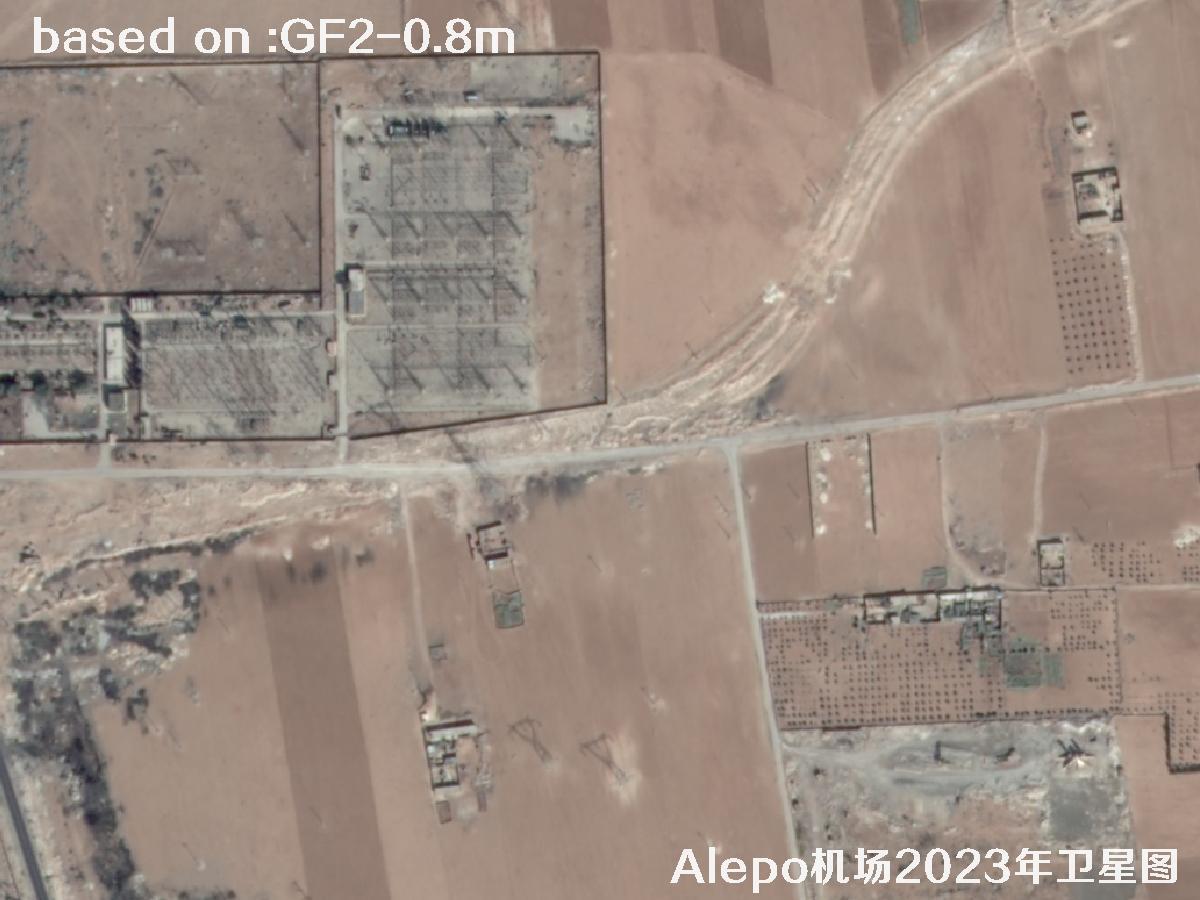
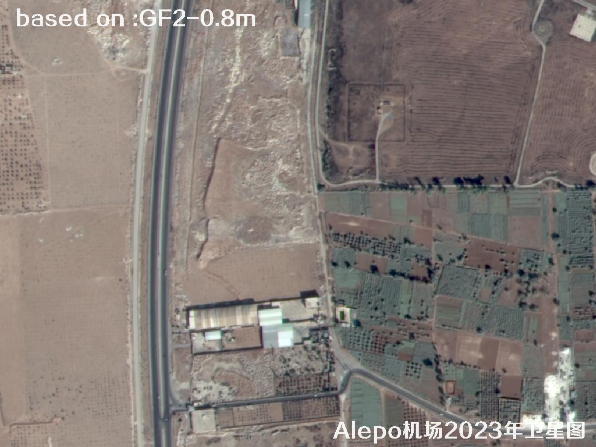
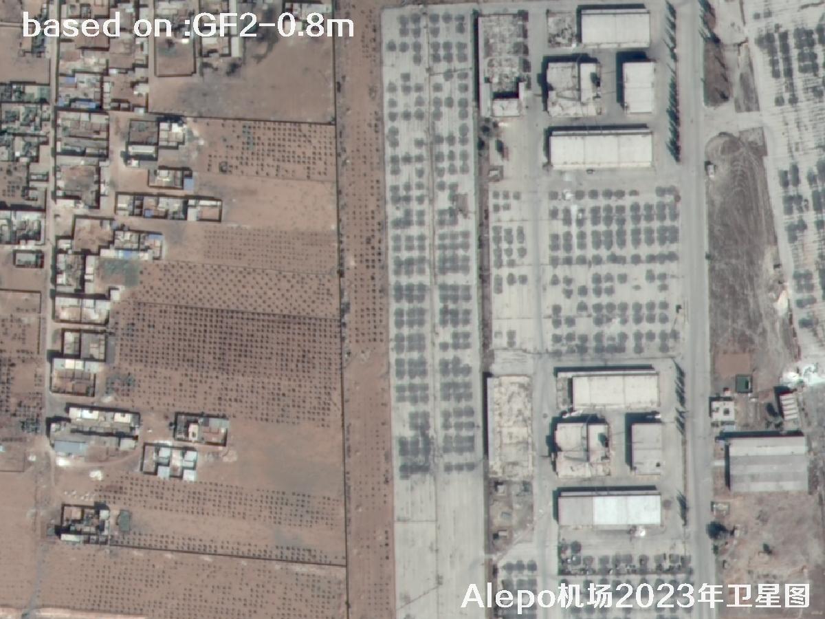
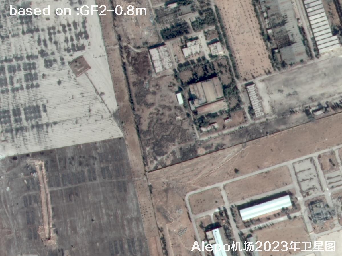
Aleppo Airport (Alepo Airport) sits in Aleppo, a major city in northern Syria, and serves as an important civil and cargo aviation hub for the region. The airfield has a main runway together with aprons and terminal buildings, and it once formed a key air corridor linking Damascus with the Middle East and Europe. After years of regional conflict the facilities have been repaired and rebuilt several times. Seen from high above, the runway texture, taxiways and the surrounding urban fabric stay remarkably legible, which gives these images real value for historical archiving and research.
GF2, or Gaofen-2, is China's first sub-meter civilian optical remote sensing satellite under the national High Resolution Earth Observation program. It captures 0.8m panchromatic and 3.2m multispectral imagery at the same time, with a wide swath, fast revisit and accurate geolocation. It is widely used for land surveys, urban planning, airport monitoring and overseas target archiving. The data is fully independent and reliably delivered, making it a solid choice for both research and commercial work.
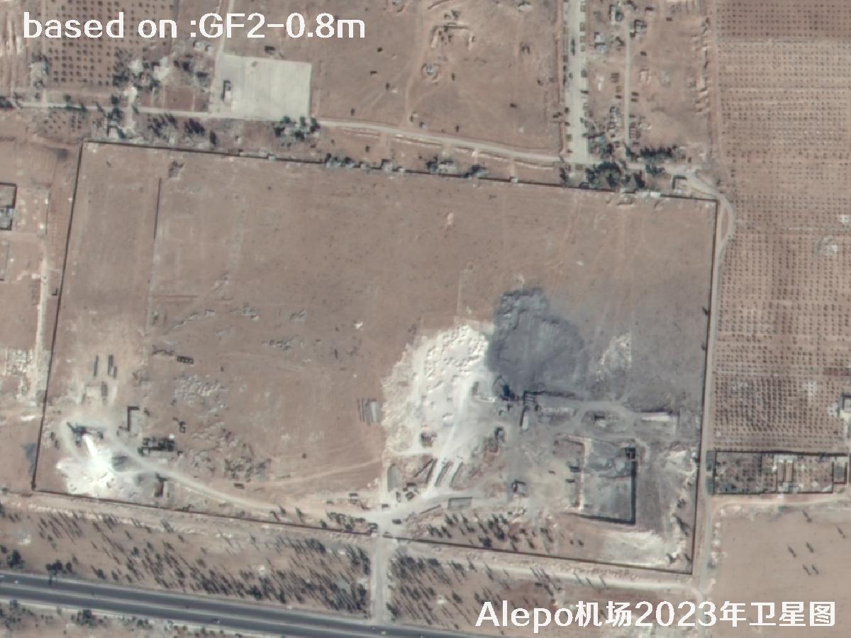
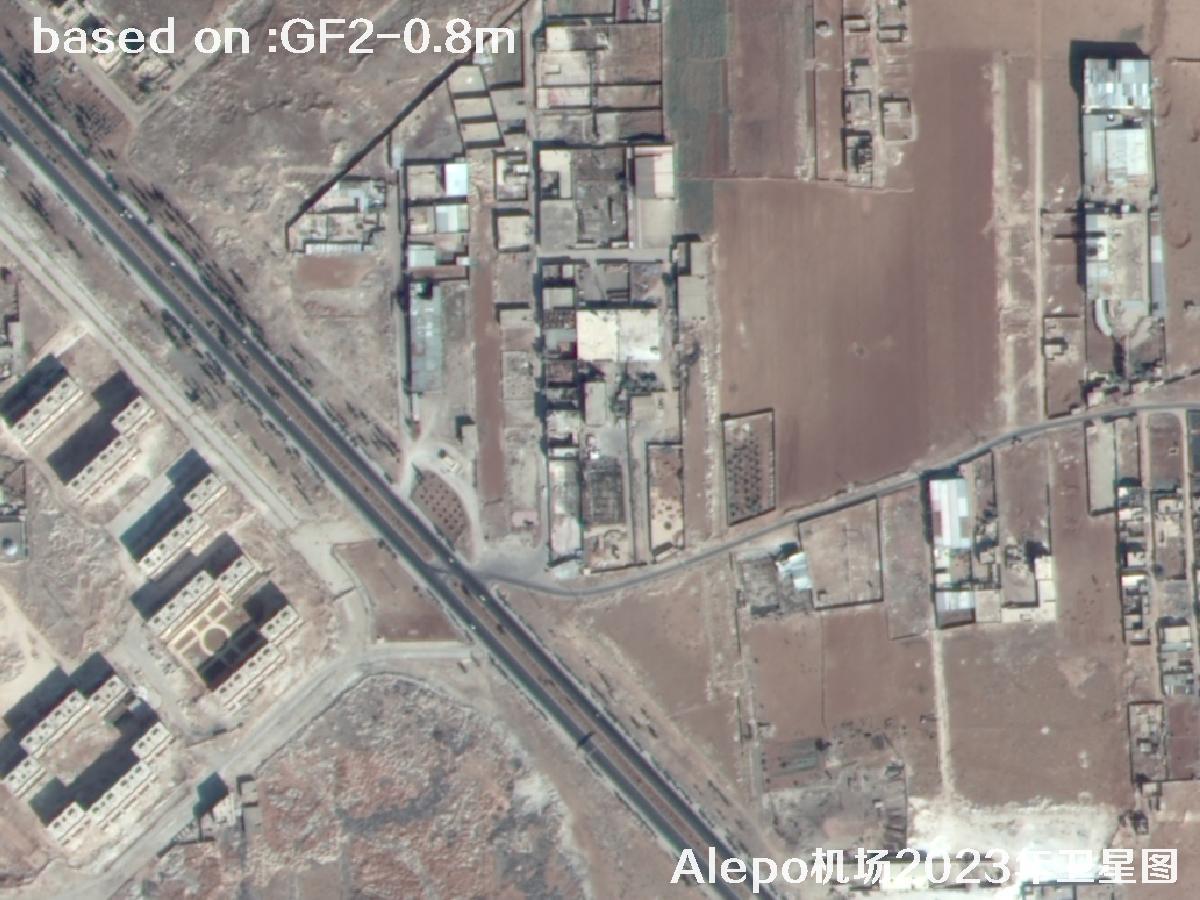
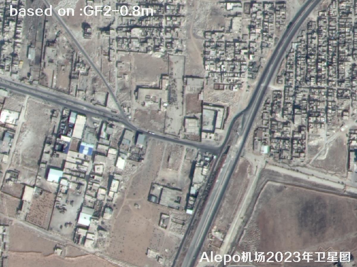
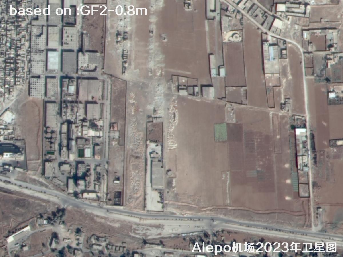
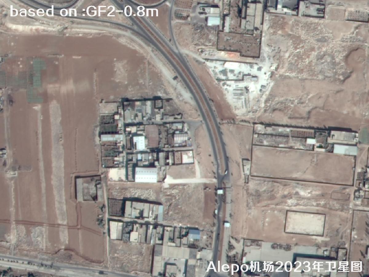
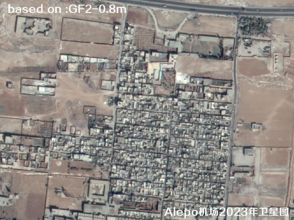
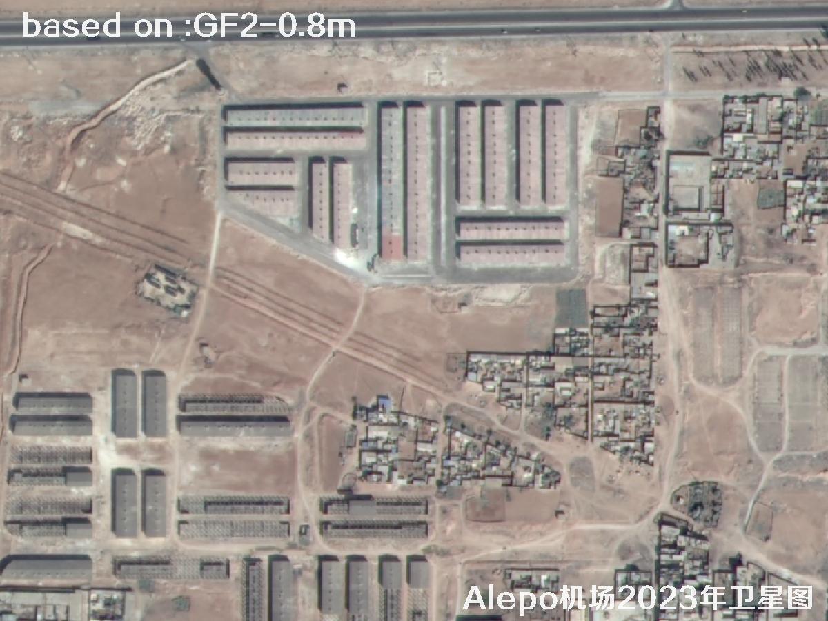
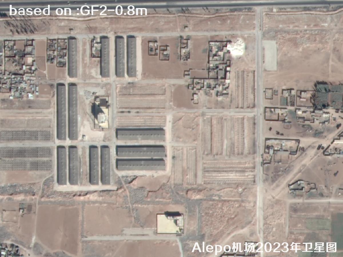
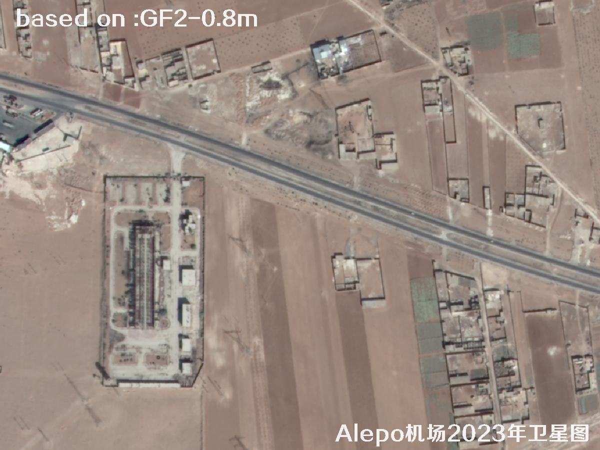
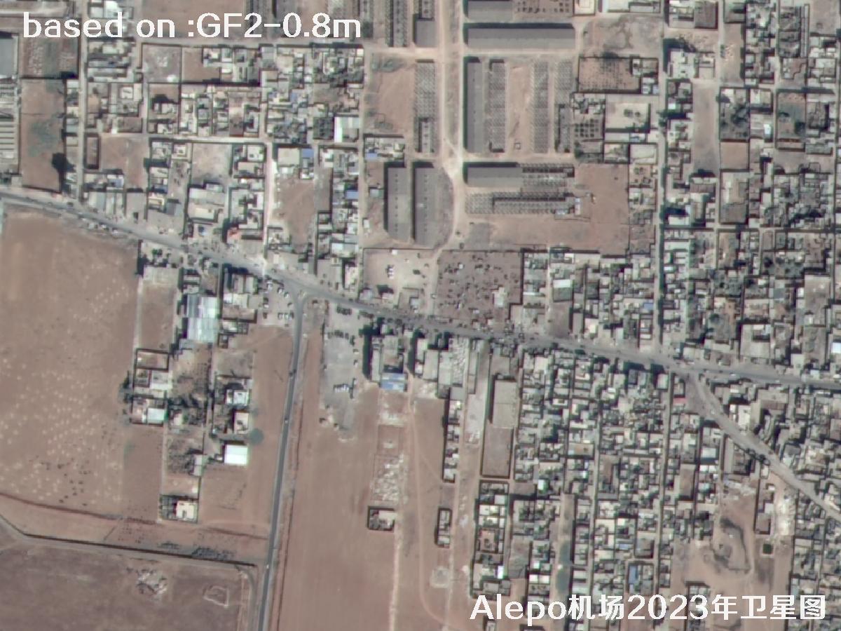
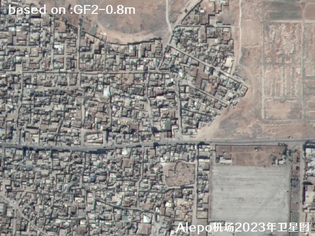
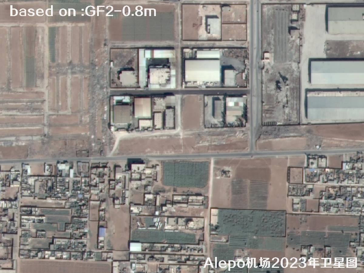
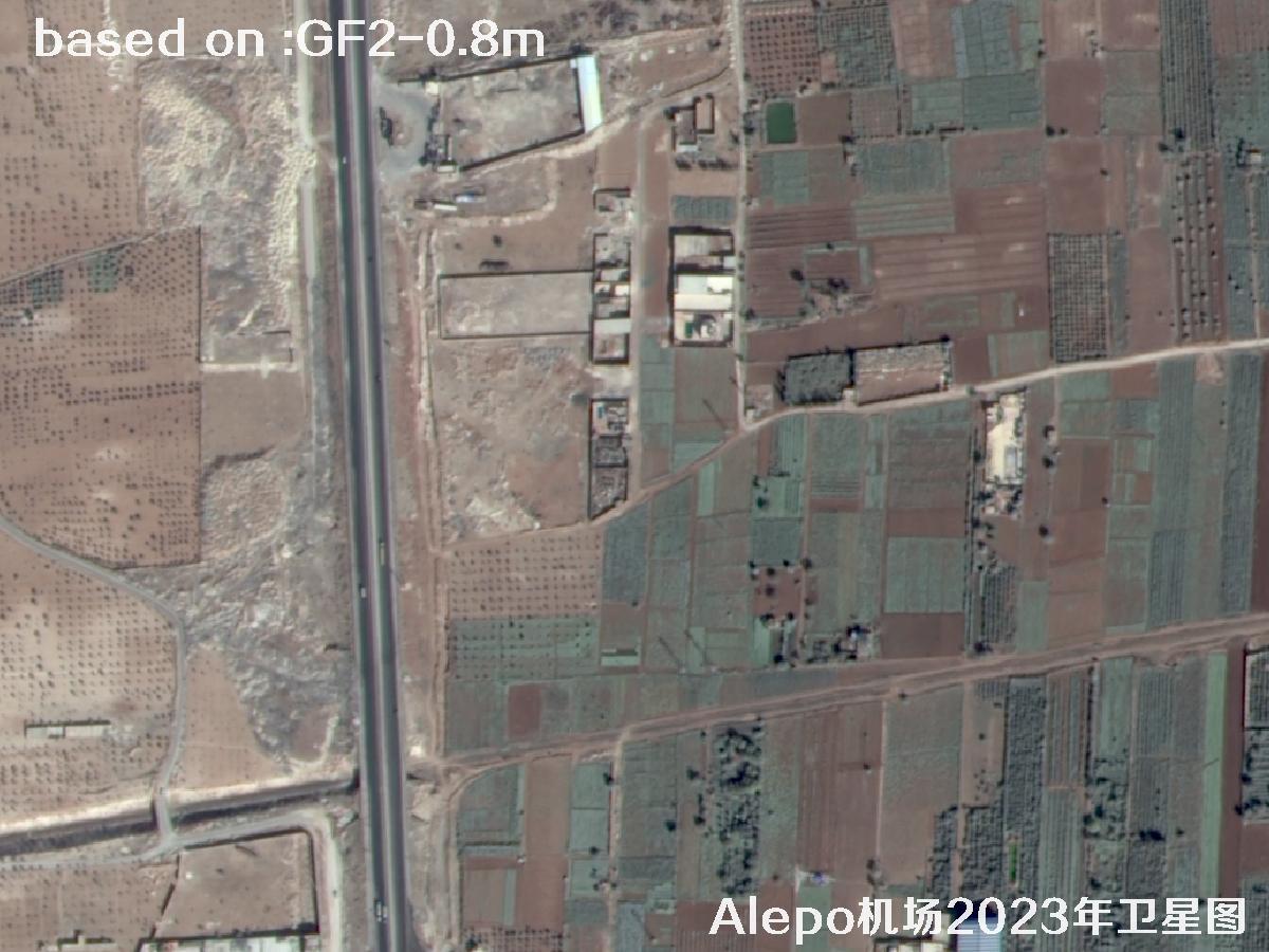
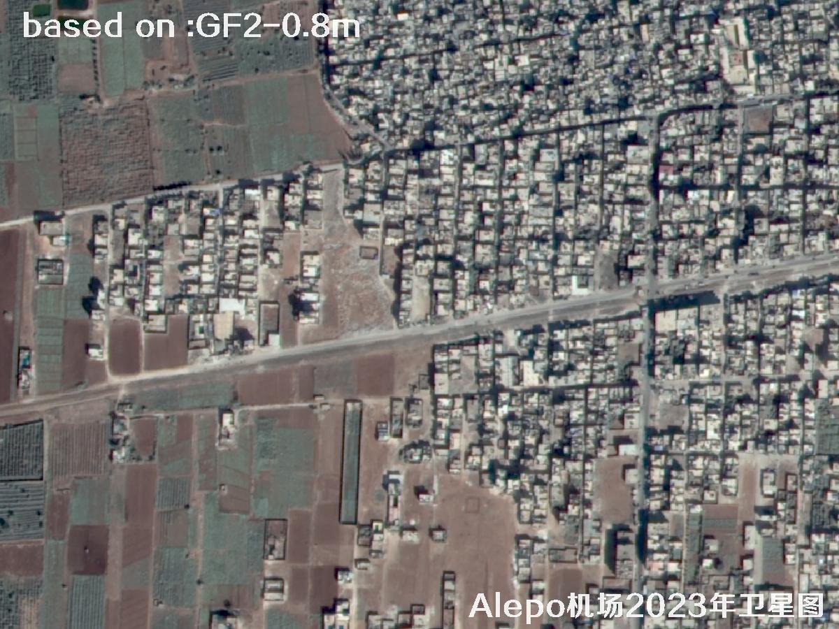
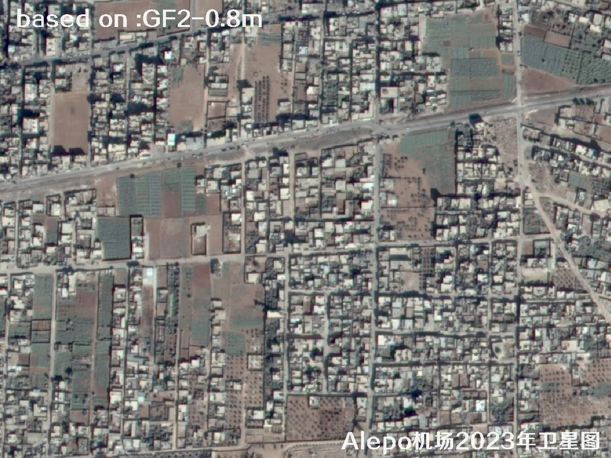
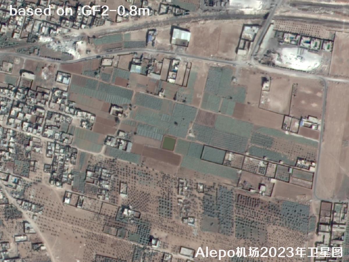
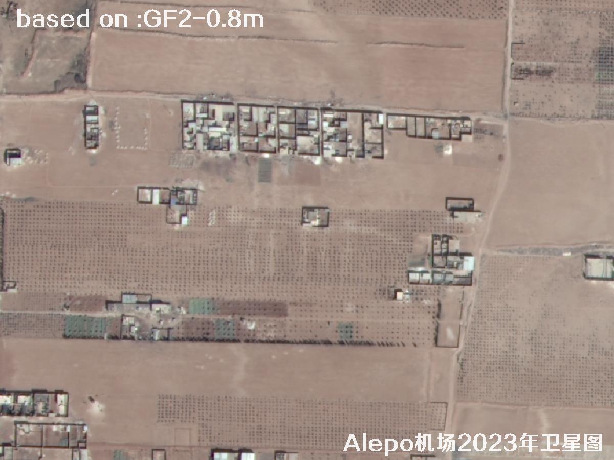
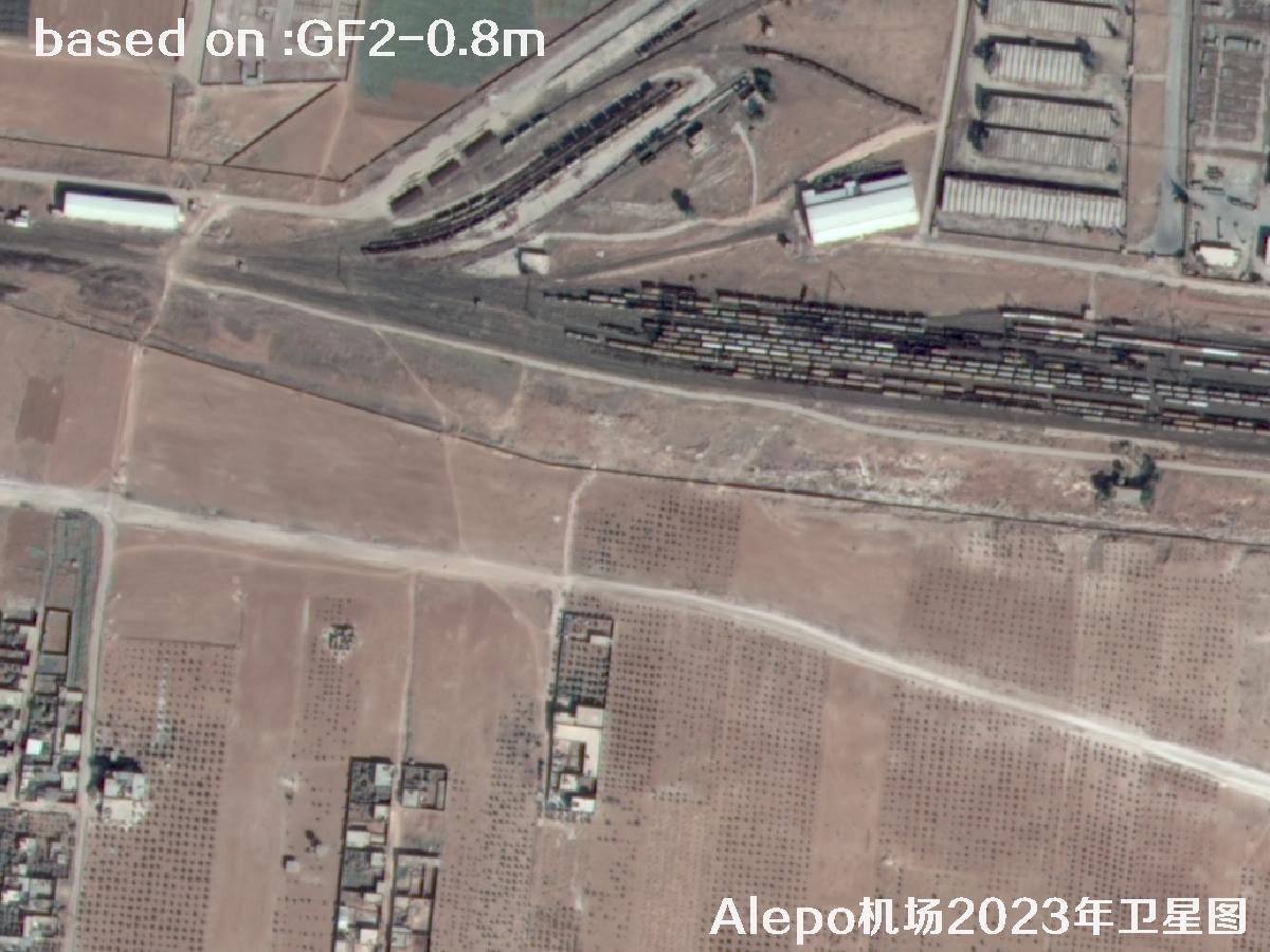
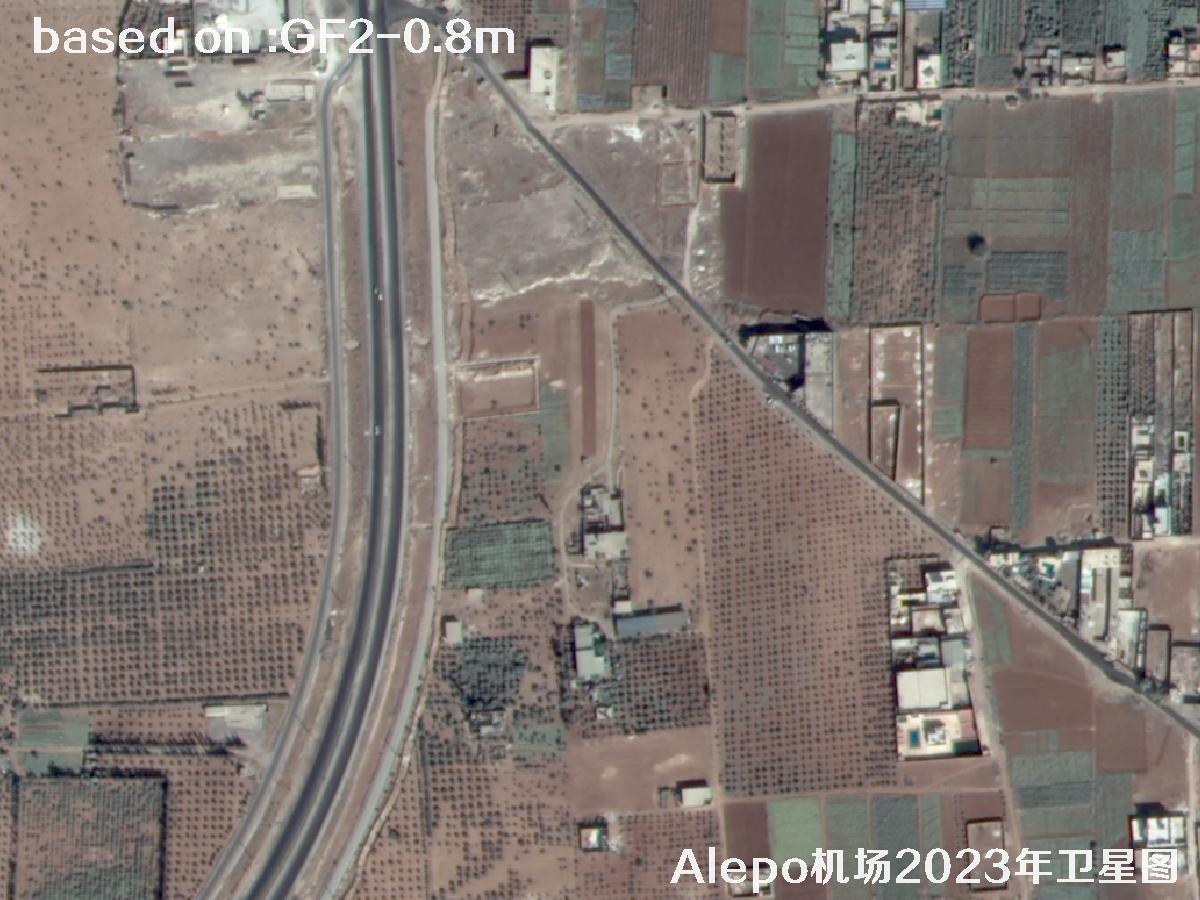
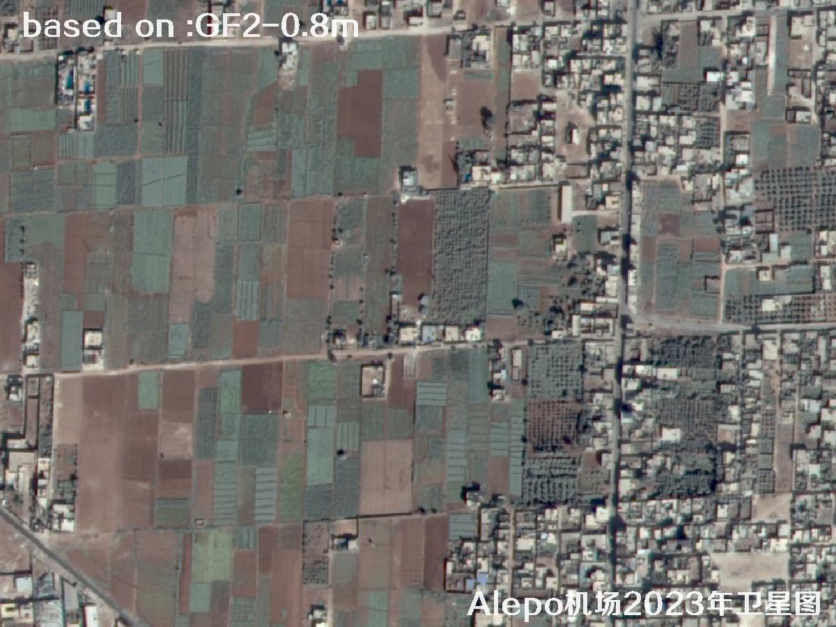
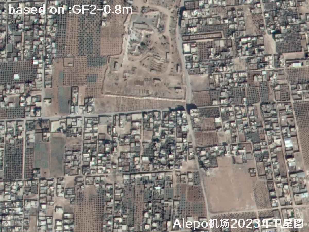
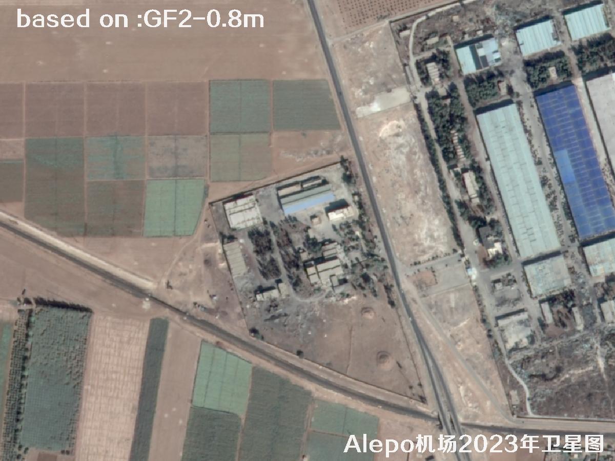
The images below are 0.8m resolution satellite images of Aleppo Airport taken by the GF2 satellite in 2023.
Gaofen-2 (GF-2) was developed by the China Academy of Space Technology and launched on a Long March 4B rocket. It is China's first self-developed civilian optical remote sensing satellite with a spatial resolution better than 1 meter. Equipped with two high resolution cameras, it uniquely combines sub-meter imaging with a wide swath, so a mid-to-small target such as Aleppo Airport can be covered in a single pass. Thanks to its long design life and strong side-swing agility, the satellite has archived a large volume of historical imagery over the Middle East, Africa and other overseas regions, providing a valuable base map for change detection and reconstruction work.
| Satellite | Gaofen-2 / GF-2 |
|---|---|
| 🌟 Resolution (Key) | 0.8m panchromatic / 3.2m multispectralCore Advantage |
| 🚀 Launch Date (Key) | 19 August 2014 · Taiyuan Satellite Launch CenterLong March 4B |
| Swath Width | 45 km (two cameras stitched) |
| Revisit Cycle | 5 days (with side swing) |
| Orbit Altitude | About 631 km sun-synchronous orbit |
| Applications | Land, airport, urban and overseas target monitoring / historical archive |
📷Aleppo Airport GF2 Satellite Image Total: 48 images 🛰️
 Sample⛶
 Sample⛶
 Sample⛶
 Sample⛶
 Sample⛶
 Sample⛶
 Sample⛶
 Sample⛶
 Sample⛶
 Sample⛶
 Sample⛶
 Sample⛶
 Sample⛶
 Sample⛶
 Sample⛶
 Sample⛶
 Sample⛶
 Sample⛶
 Sample⛶
 Sample⛶
 Sample⛶
 Sample⛶
 Sample⛶
 Sample⛶
 Sample⛶
 Sample⛶
 Sample⛶
 Sample⛶
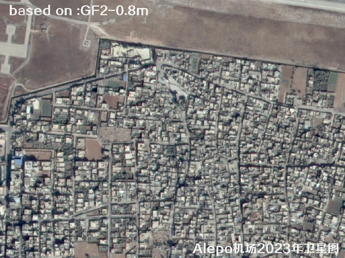 Sample⛶
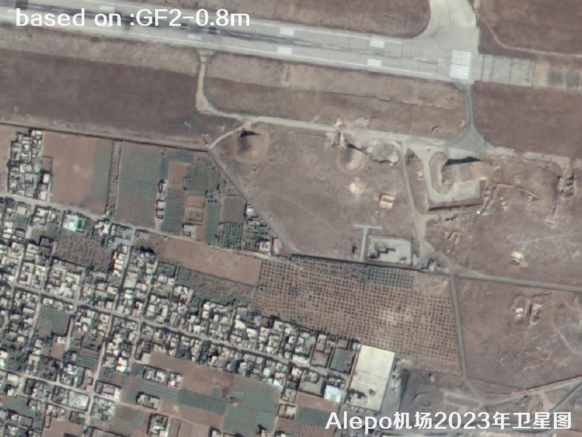 Sample⛶
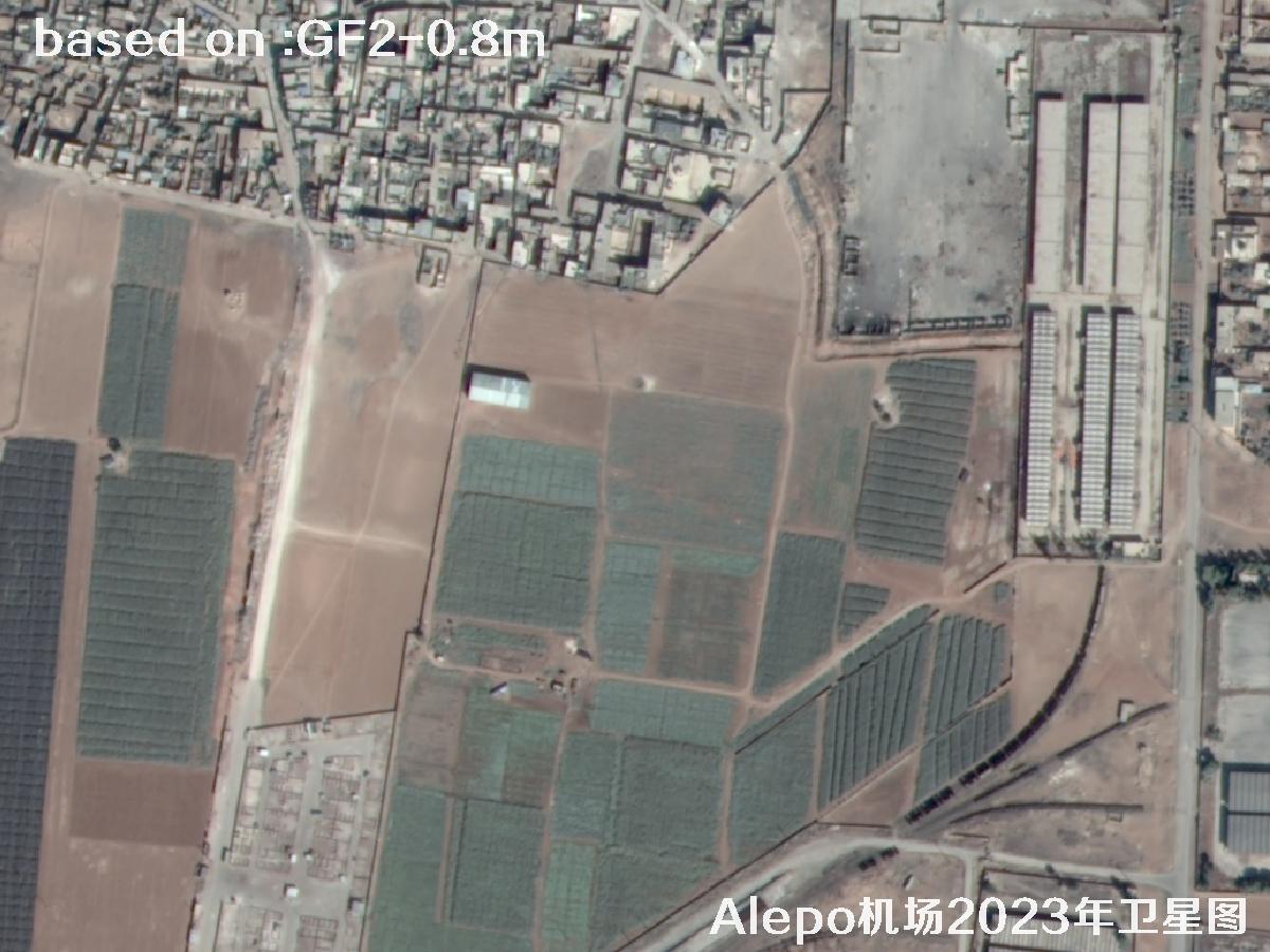 Sample⛶
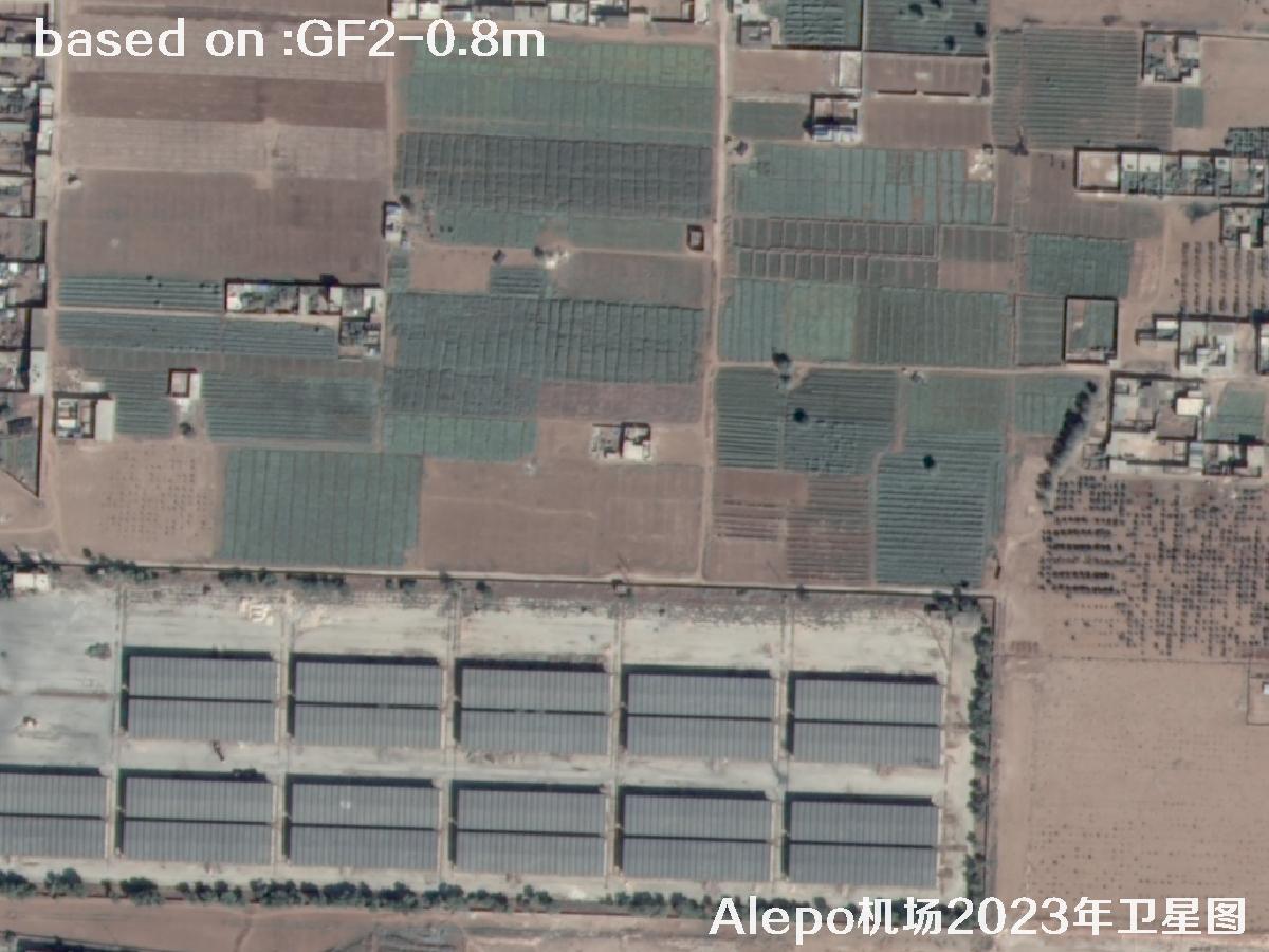 Sample⛶
 Sample⛶
 Sample⛶
 Sample⛶
 Sample⛶
 Sample⛶
 Sample⛶
 Sample⛶
 Sample⛶
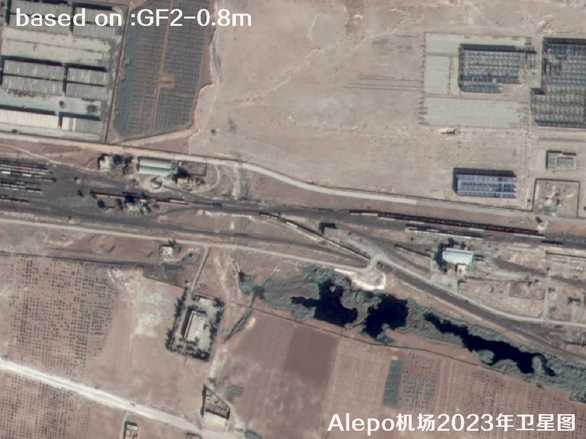 Sample⛶
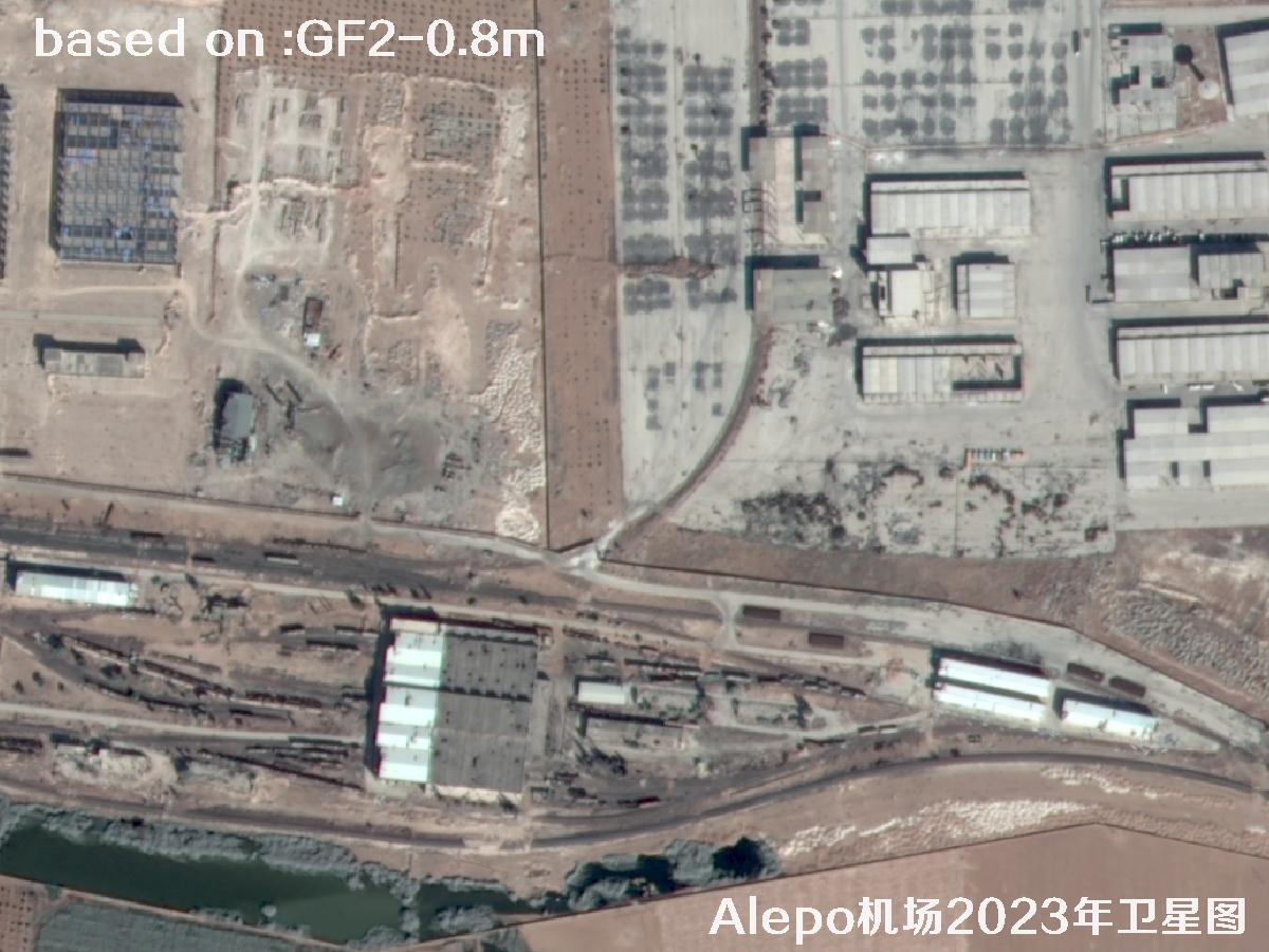 Sample⛶
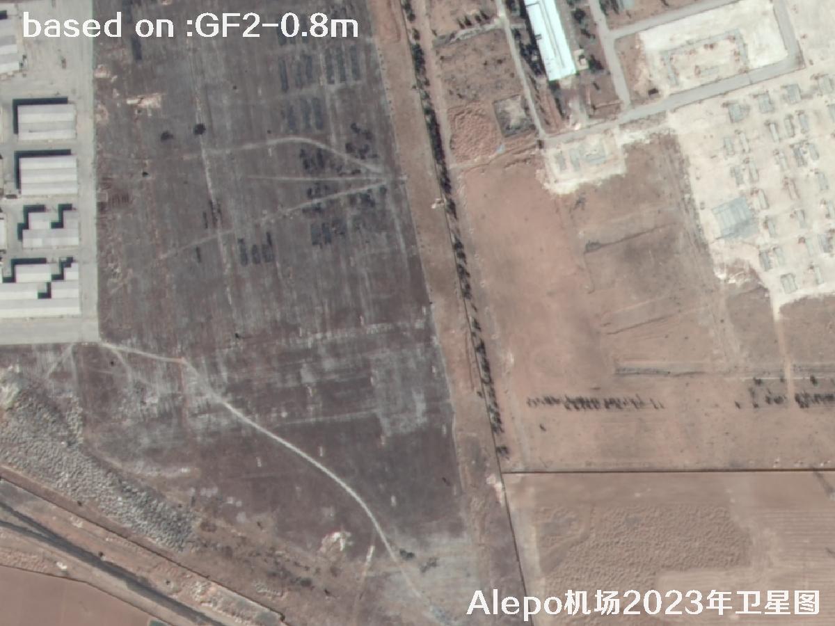 Sample⛶
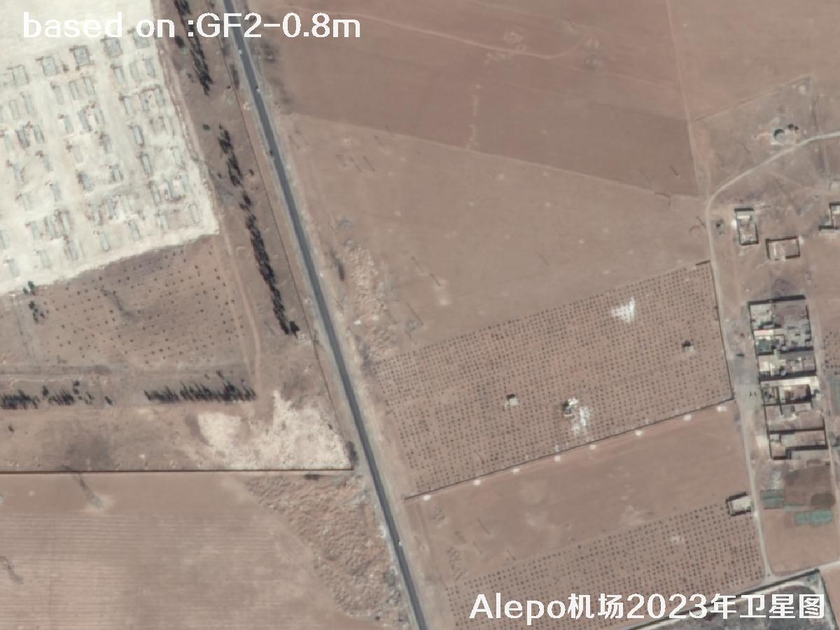 Sample⛶
 Sample⛶
 Sample⛶
 Sample⛶
 Sample⛶