Introduction to Common 0.3-, 0.5-, 1-, and 2-Meter-Resolution Remote Sensing Satellites
Remote sensing satellites are available at a range of spatial resolutions. The following is an overview of commonly used satellites and constellations by approximate image resolution.
0.3-meter resolution: Includes the U.S. WorldView-3 and WorldView-4 satellites, as well as France’s recently launched Pleiades Neo satellite.
0.5-meter resolution: Includes the U.S. WorldView-1, WorldView-2, GeoEye, and QuickBird satellites; France’s Pleiades satellite; China’s SuperView (Gaofen-1) satellite; and South Korea’s KOMPSAT-3A satellite.
1-meter resolution: Satellites include China’s Gaofen-2, Gaofen-7 stereoscopic, Beijing-2, Jilin-1, and Orbita satellites; the U.S. IKONOS and BlackSky satellites; South Korea’s KOMPSAT-2 and KOMPSAT-3 satellites; and EROS-B.
1–2-meter resolution: Includes France’s SPOT-6 and SPOT-7, China’s Gaofen-1 and Gaofen-6 satellites, the Gaofen-1B/1C/1D satellites, China’s Resource satellites, and Japan’s ALOS satellite.
3–5-meter resolution: Includes RapidEye, the PlanetScope constellation, and China’s Resource satellite series.
10–15-meter resolution: Includes Sentinel-2A, China’s wide-swath Gaofen satellites, and Landsat-7 and Landsat-8.
To purchase imagery from these satellites, please contact our customer service team. For archived map data covering a specific area, you can also send us an online inquiry. Visit our satellite directory and video introductions to learn more.
Satellite Image Samples
0.3-Meter-Resolution Satellite Images


0.5-Meter-Resolution Satellite Images


1-Meter-Resolution Satellite Images


2-Meter-Resolution Satellite Images


5-Meter-Resolution Satellite Images


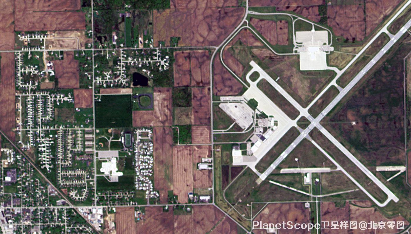
10-Meter-Resolution Satellite Images


If you found this article helpful, please save it and share it with others.
Notice: This is an original article. Reproduction without permission is prohibited.