Buy SuperView Satellite Images — 0.5-Meter SuperView-1 Imagery
Satellite Images of an Ordos Mining Area Captured in 2019 by SuperView-1, China's First 0.5-Meter-Resolution Remote Sensing Satellite
Below are satellite images of a mining area in Ordos, Inner Mongolia, captured in 2019 by the 0.5-meter-resolution SuperView satellite. SuperView-1 is China's first commercial remote sensing satellite with 0.5-meter resolution. To buy China SuperView satellite image data, please contact the sales team at Beijing Yijingtu, or leave us a message online.
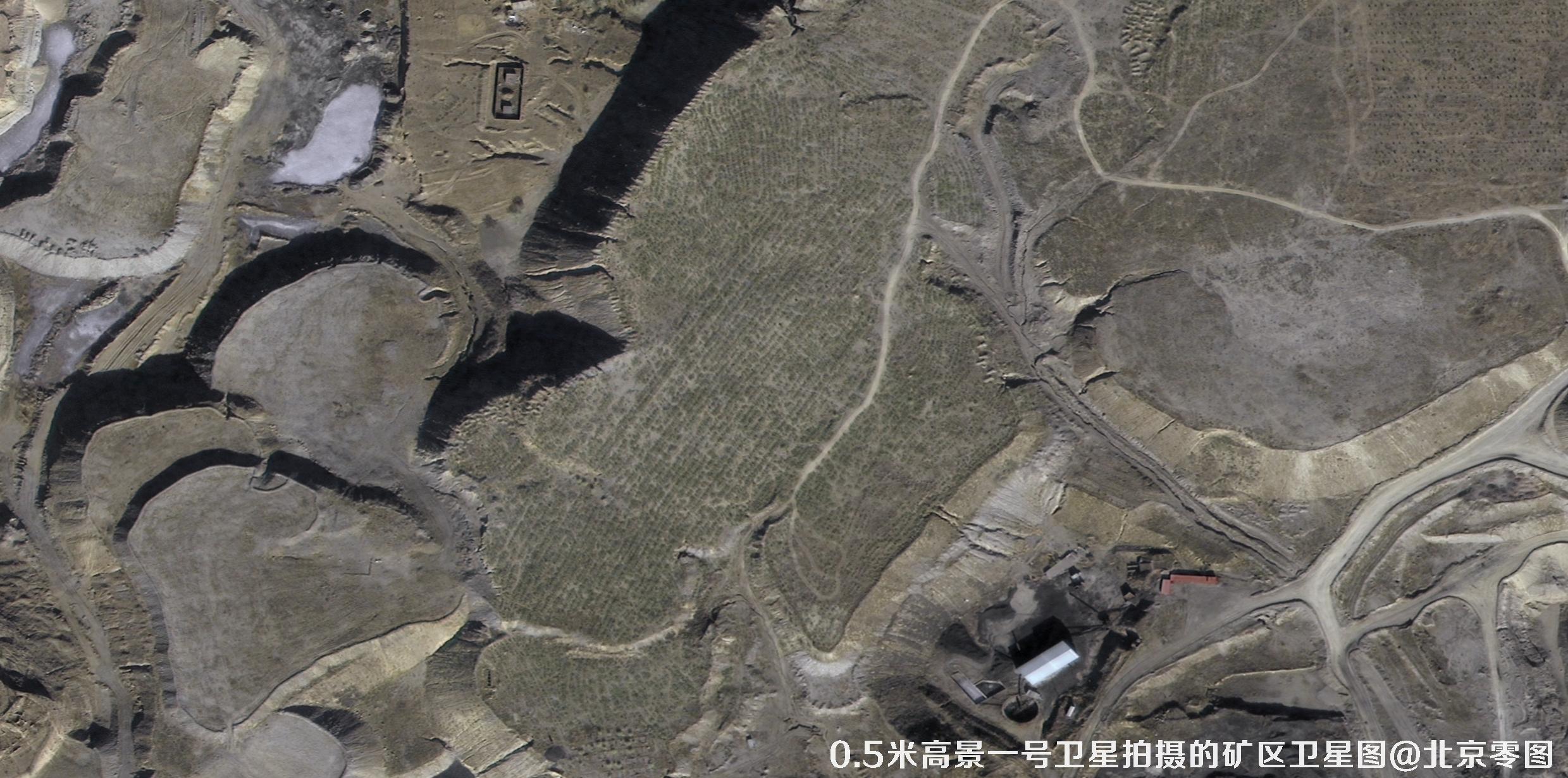


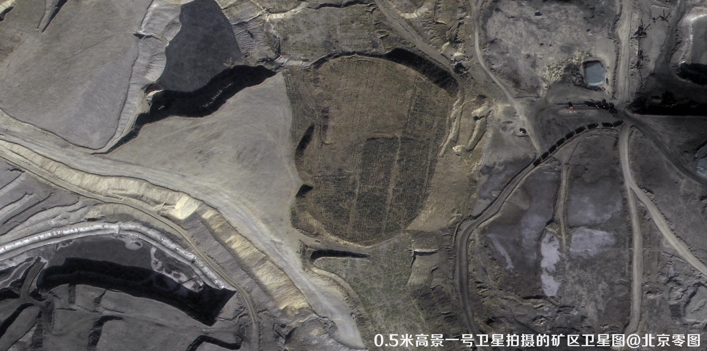
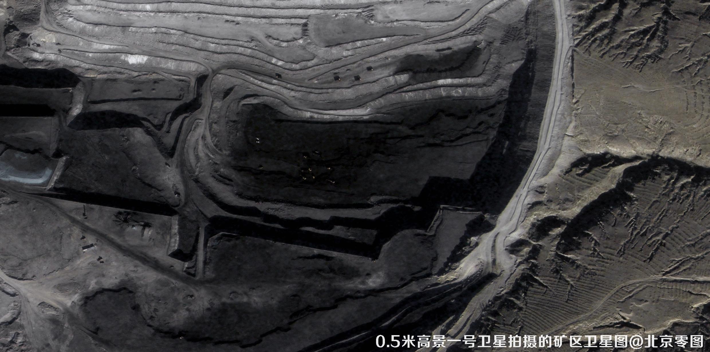


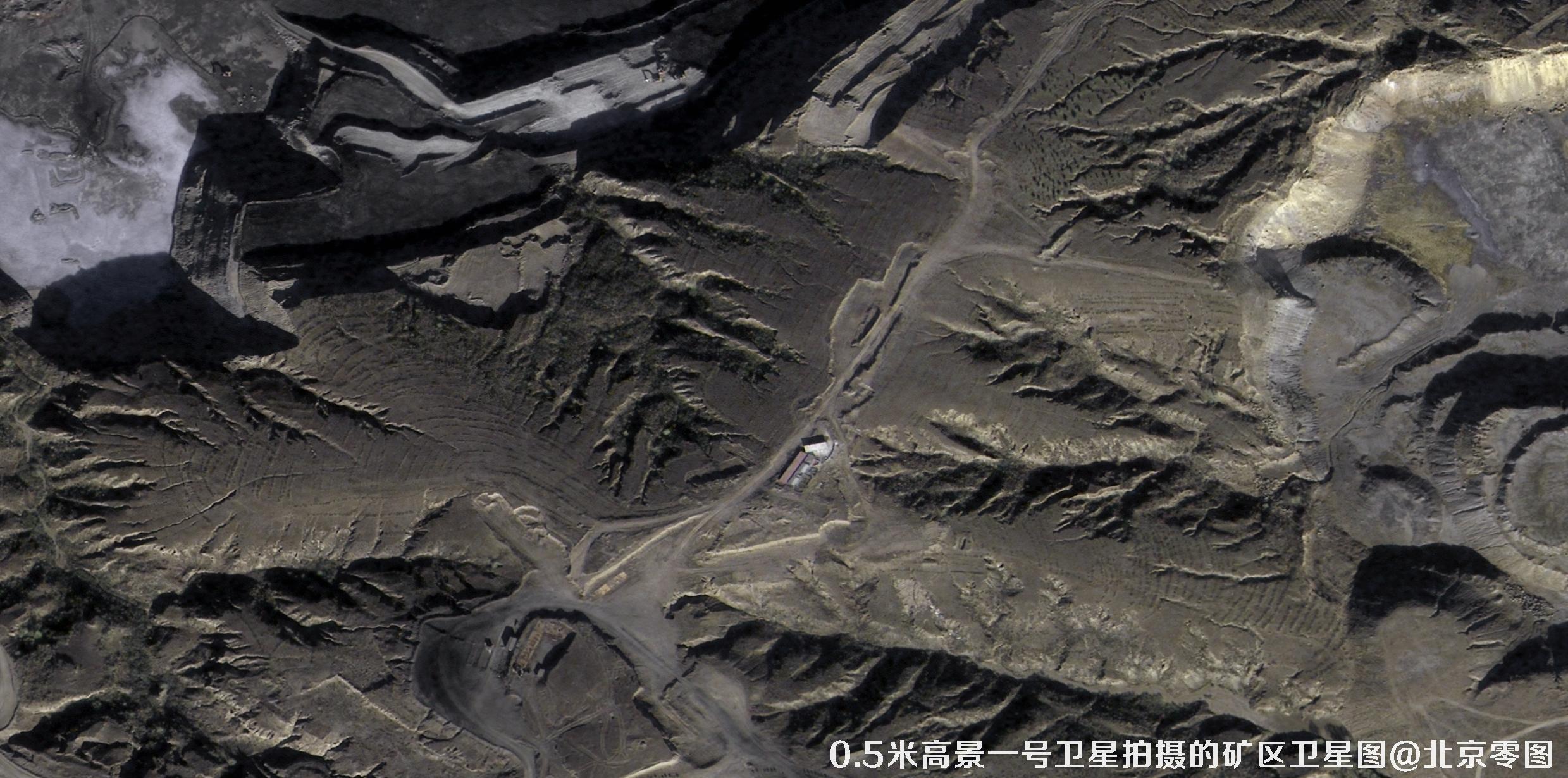

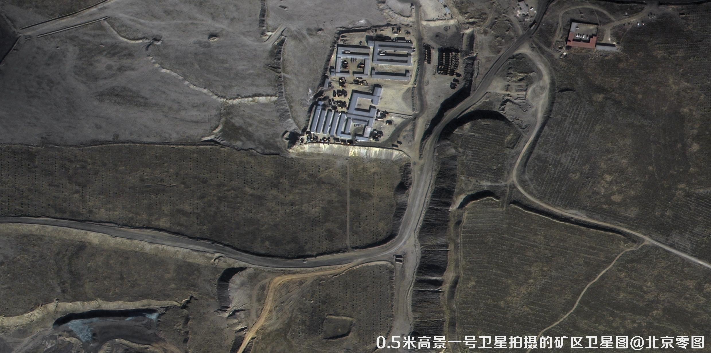

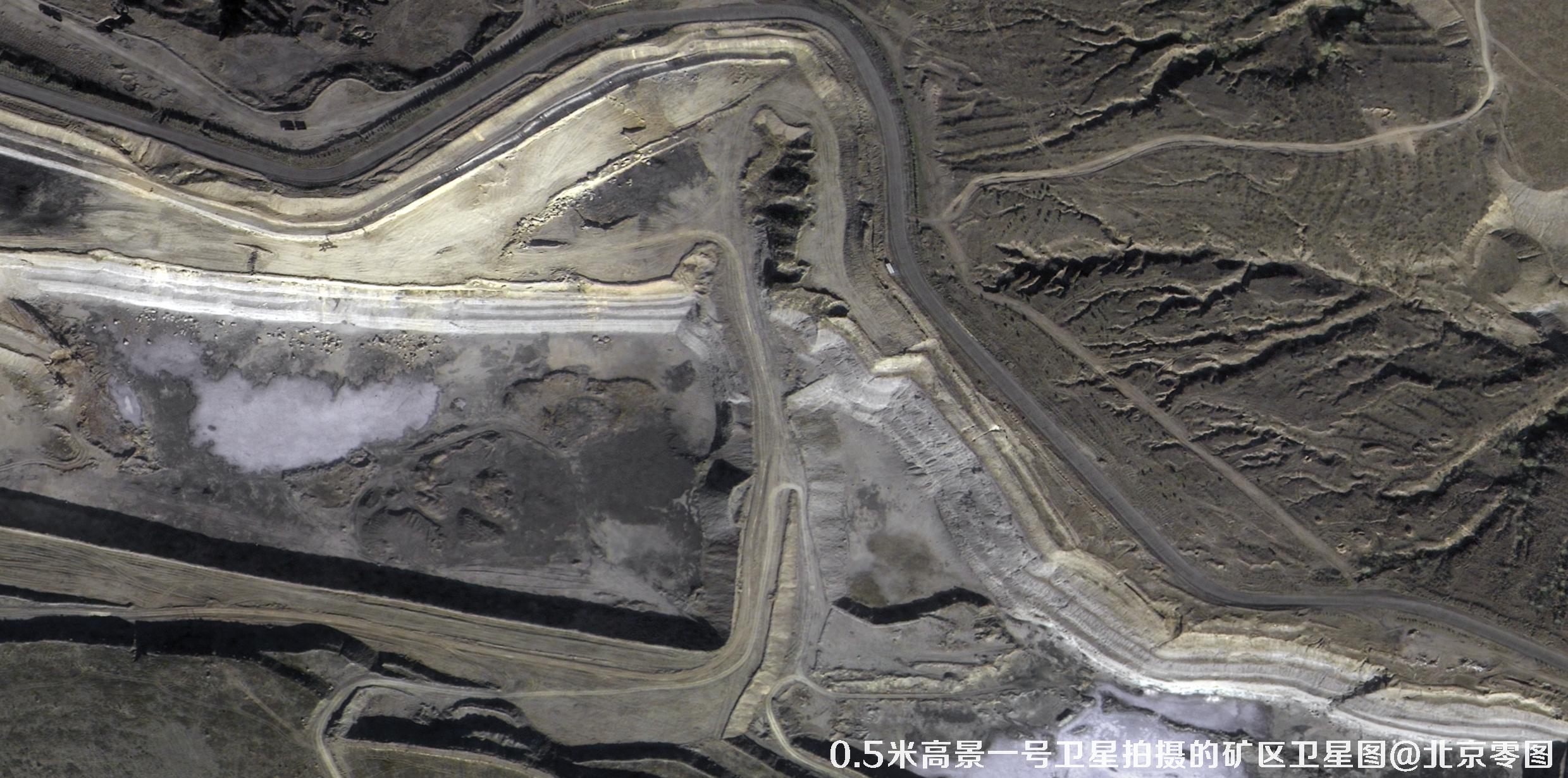


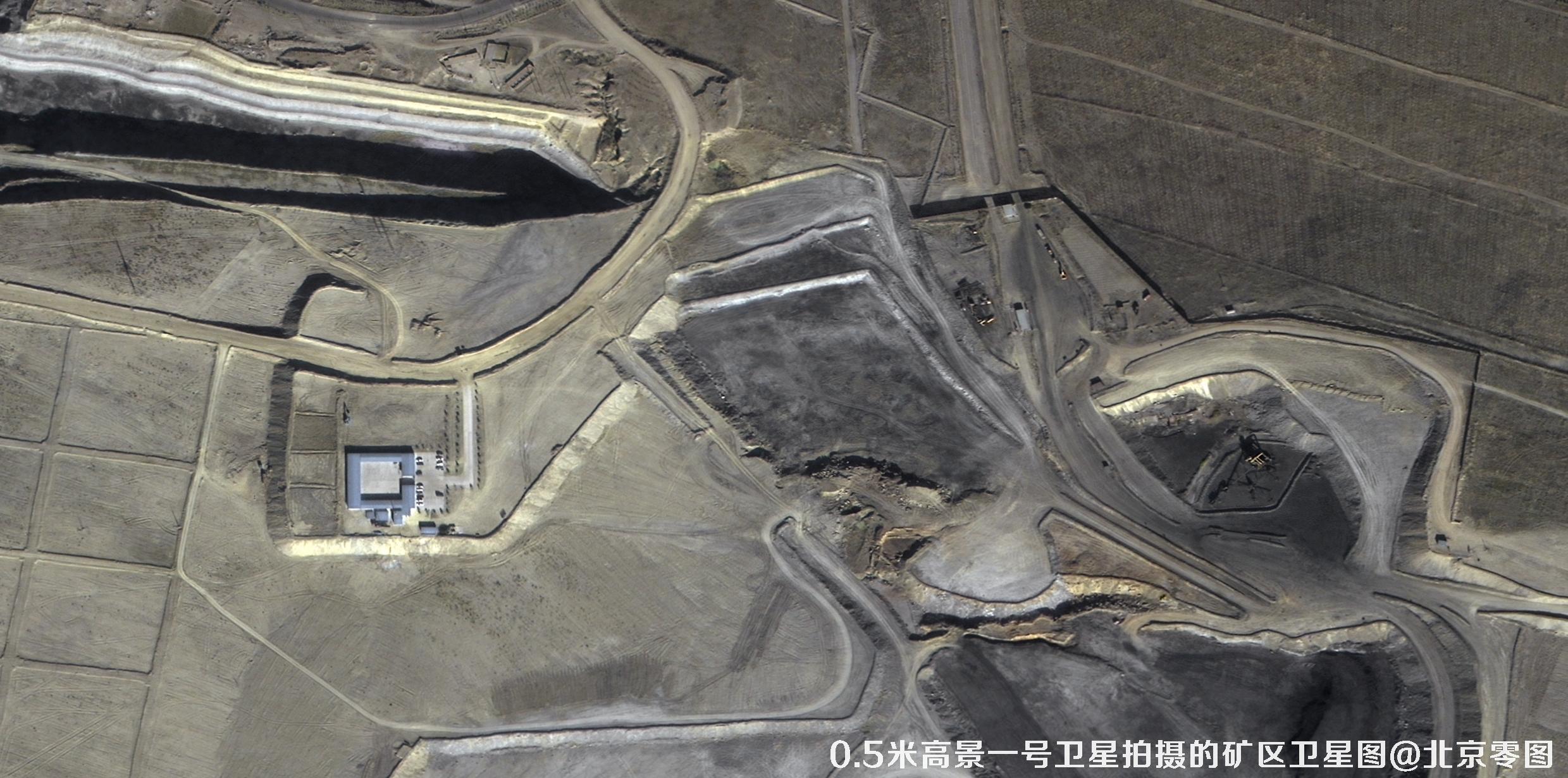
To purchase the satellite imagery data shown above, please contact our sales team to prepare a contract and issue an invoice. The imagery data will be delivered within 5–10 business days after the contract takes effect. For a reference of the actual image quality, please see the sample image at the end of the article.
If you found this article helpful, please save and share it.