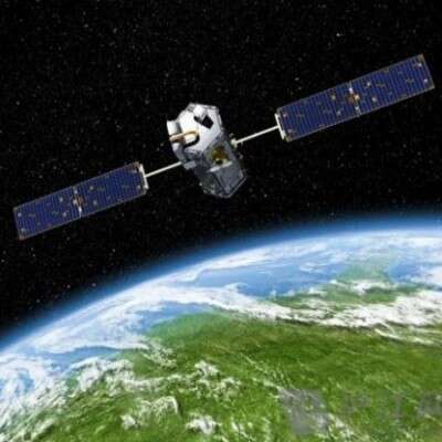
GF7 - Latest Macao Satellite Imagery Captured by Gaofen-7 in 2015
[GF7 Satellite] (Gaofen-7) is an important part of China's High-Resolution Earth Observation System and was successfully launched on November 3, 2019. The satellite is mainly used for high-precision stereo mapping and geographic information acquisition, with sub-meter optical resolution and ultra-high accuracy. The GF7 satellite carries a dual-line-array stereo camera and a laser altimeter, enabling high-precision 3D topographic mapping worldwide. It is widely used in land surveying and mapping, urban planning, agricultural monitoring, and disaster prevention and mitigation. Operating in a sun-synchronous orbit with a designed service life of 8 years, it offers efficient data acquisition and excellent spatial resolution, providing important technical support for China's geographic information industry.
[Macao] is a Special Administrative Region of China, located on the western bank of the Pearl River Delta, bordering Zhuhai, Guangdong, and facing Hong Kong across the sea, with a total area of about 33 square kilometers. Macao is famous for its unique blend of Chinese and Western cultures and its rich historic sites, such as the Ruins of St. Paul's and A-Ma Temple, which are listed as World Cultural Heritage. As a world-renowned tourism and gaming center, Macao's economy is dominated by the gaming, tourism and service industries, earning it the reputation of the “Las Vegas of the East”. At the same time, Macao is an important part of the Guangdong-Hong Kong-Macao Greater Bay Area, showcasing the unique charm of multicultural diversity and modern development.
Below are the latest HD satellite images of Macao SAR captured by the Gaofen-7 satellite in January 2025. [To purchase GF7 satellite imagery] Please contact the staff of Beijing Yijingtu, leave us a message online, or click Online Search to view more satellite introductions and cases.
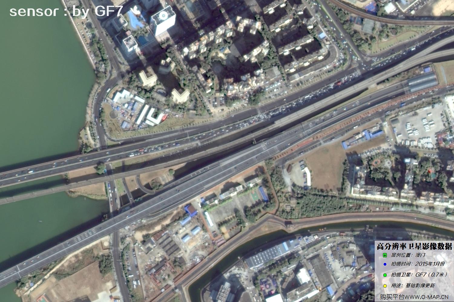
Fig. 1, GF7 Gaofen-7 satellite image of Macao, January 2015
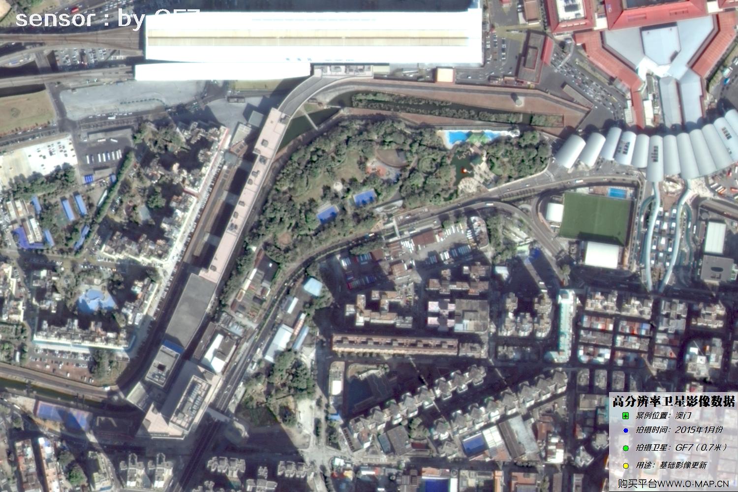
Fig. 2, GF7 Gaofen-7 satellite image of Macao, January 2015
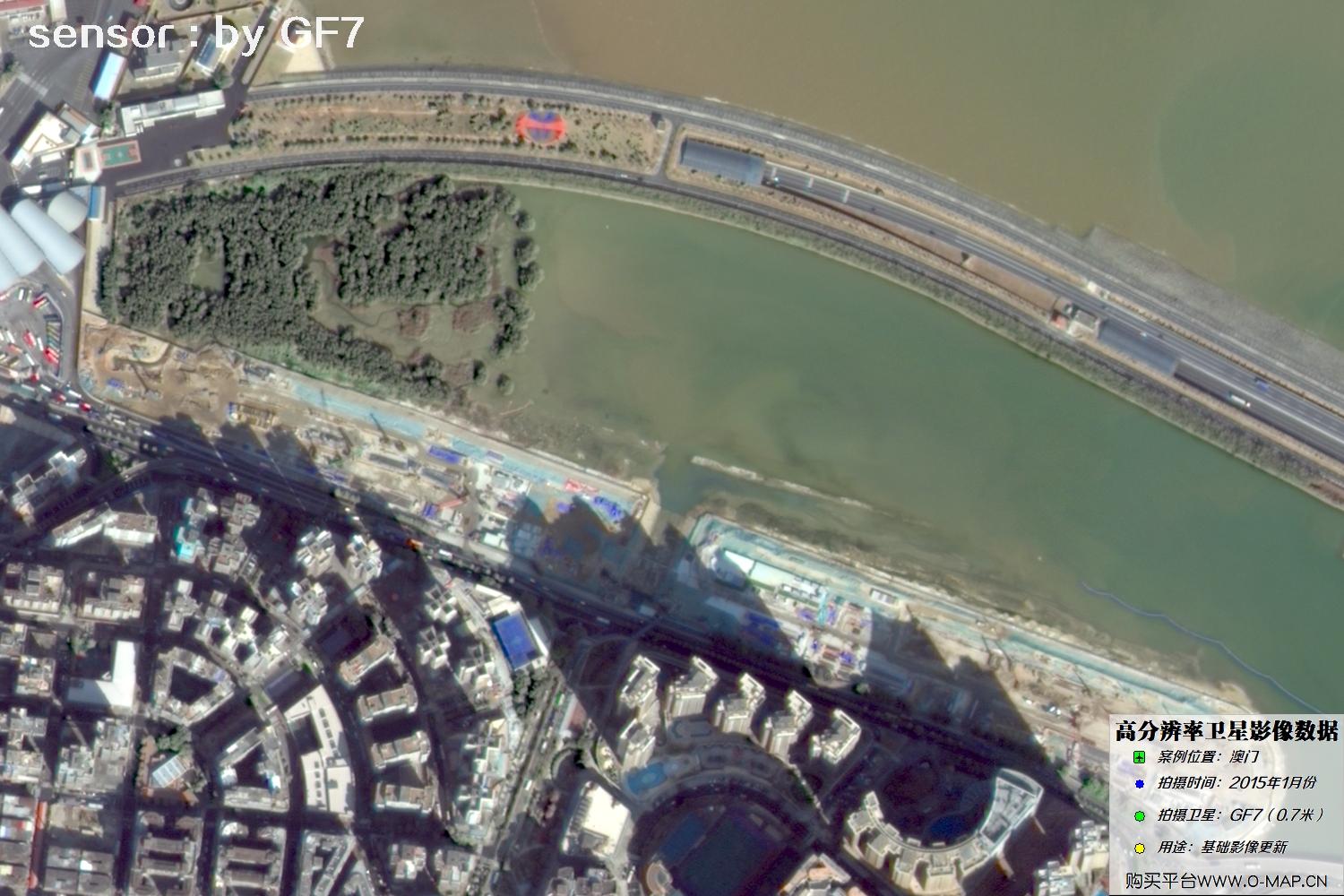
Fig. 3, GF7 Gaofen-7 satellite image of Macao, January 2015
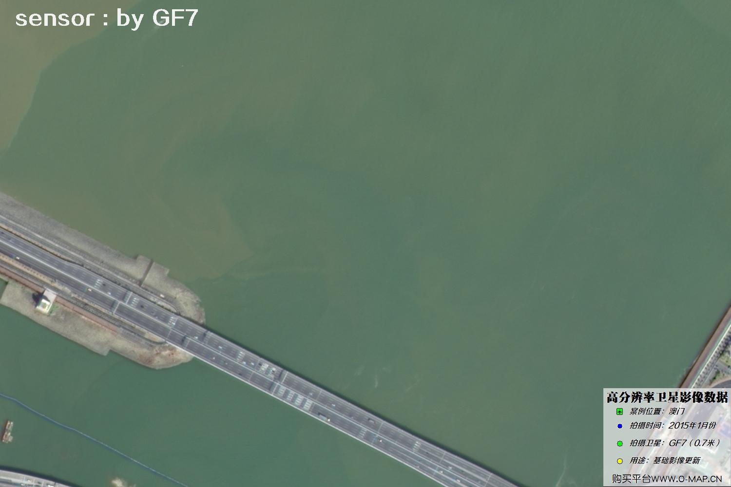
Fig. 4, GF7 Gaofen-7 satellite image of Macao, January 2015
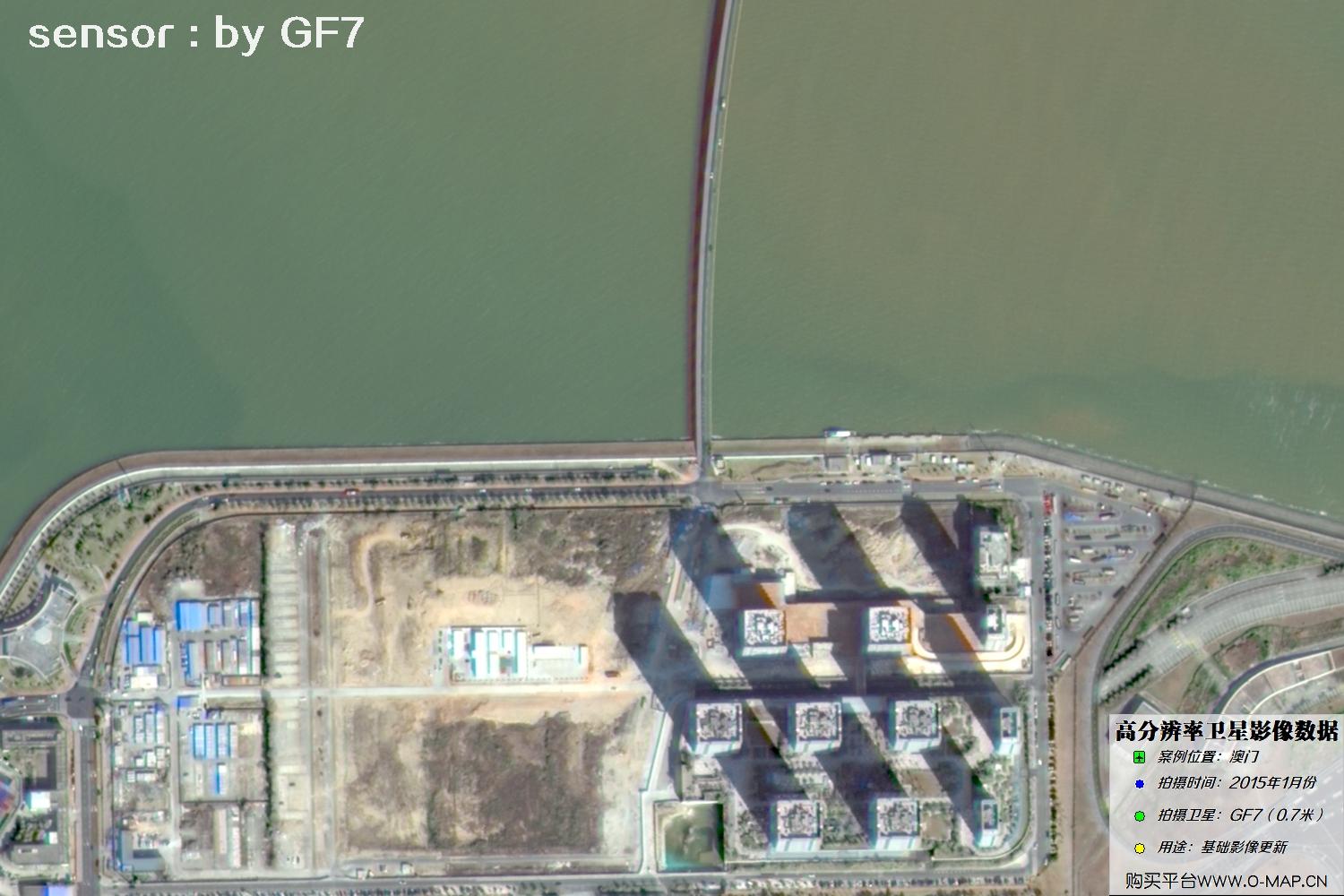
Fig. 5, GF7 Gaofen-7 satellite image of Macao, January 2015
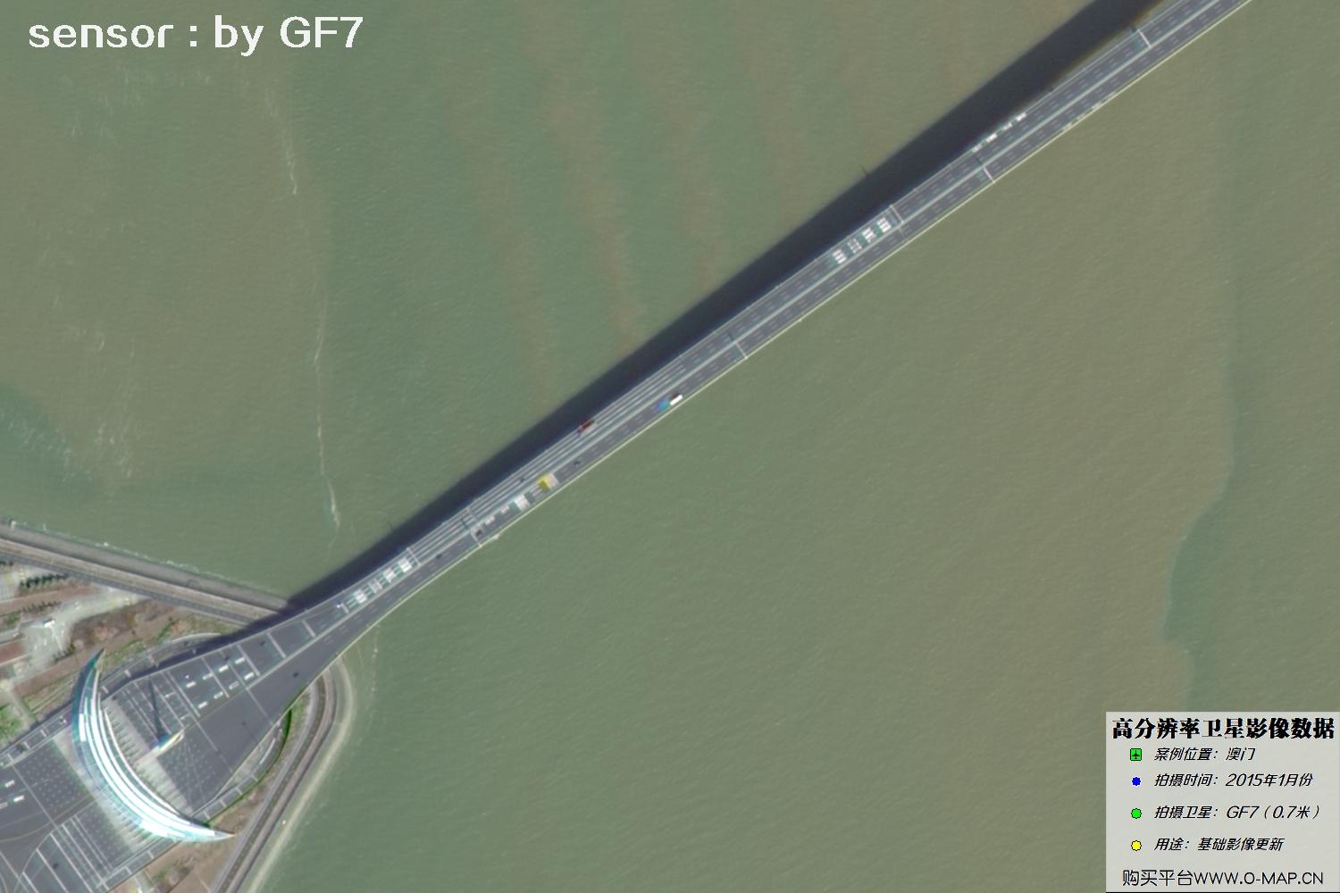
Fig. 6, GF7 Gaofen-7 satellite image of Macao, January 2015
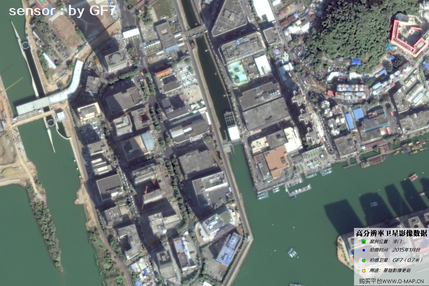
Fig. 7, GF7 Gaofen-7 satellite image of Macao, January 2015
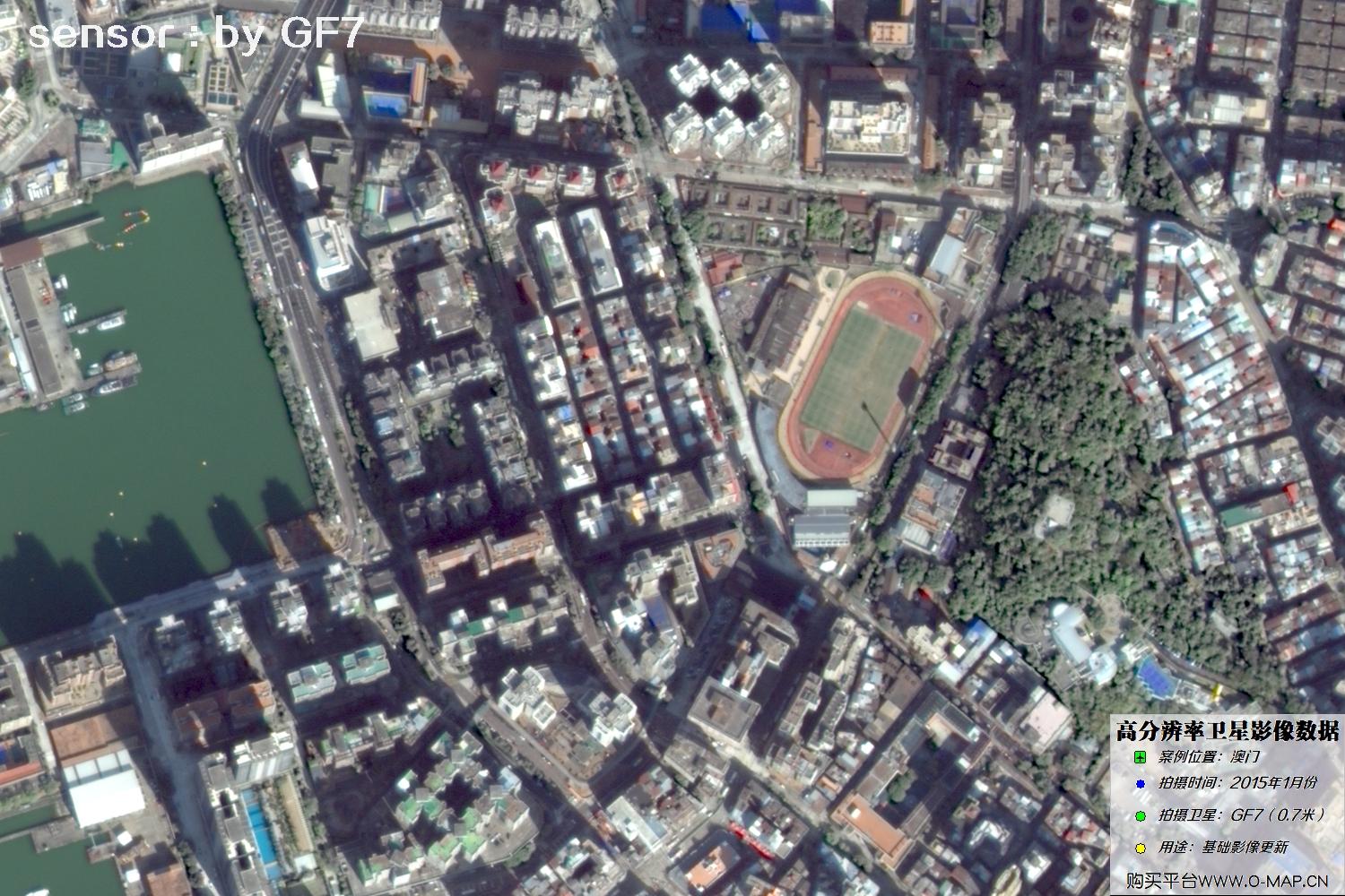
Fig. 8, GF7 Gaofen-7 satellite image of Macao, January 2015
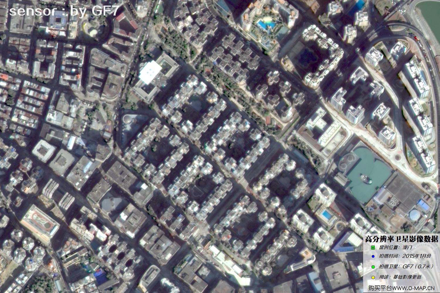
Fig. 9, GF7 Gaofen-7 satellite image of Macao, January 2015
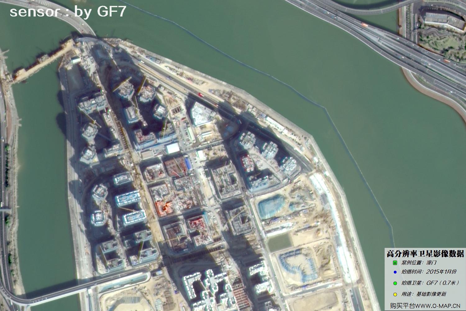
Fig. 10, GF7 Gaofen-7 satellite image of Macao, January 2015
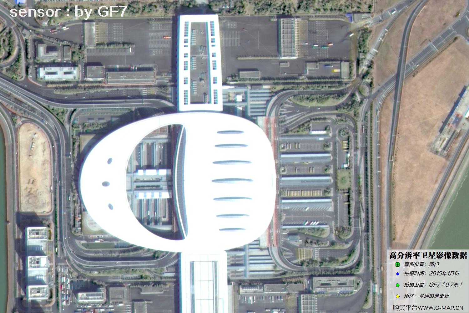
Fig. 11, GF7 Gaofen-7 satellite image of Macao, January 2015
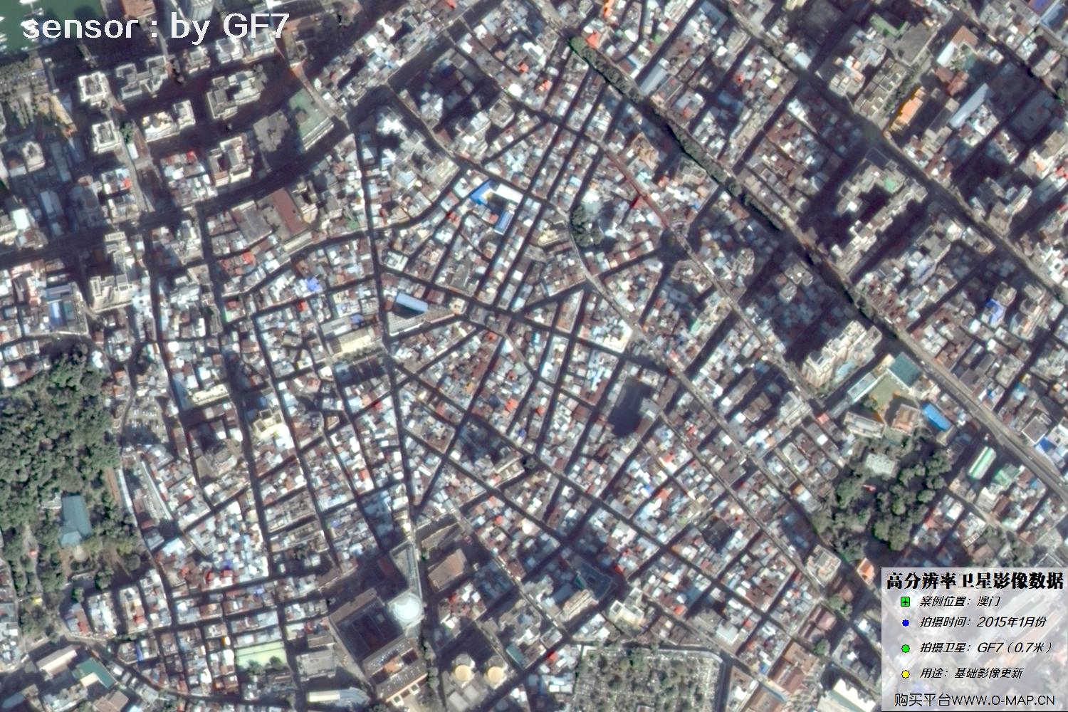
Fig. 12, GF7 Gaofen-7 satellite image of Macao, January 2015

Fig. 13, GF7 Gaofen-7 satellite image of Macao, January 2015
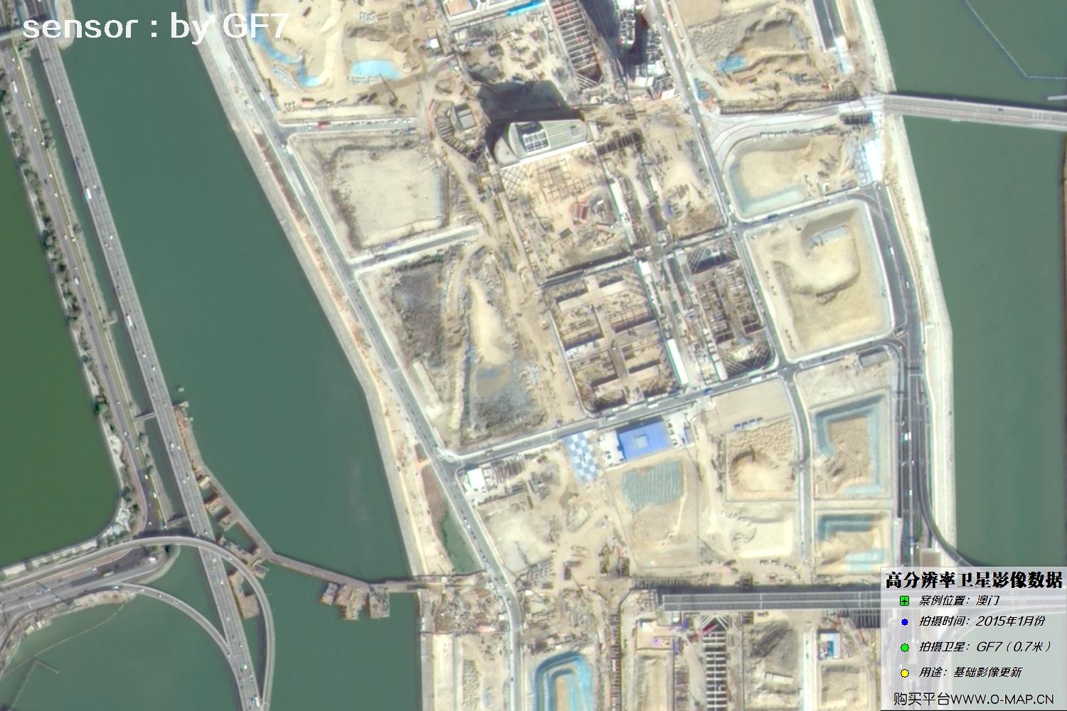
Fig. 14, GF7 Gaofen-7 satellite image of Macao, January 2015
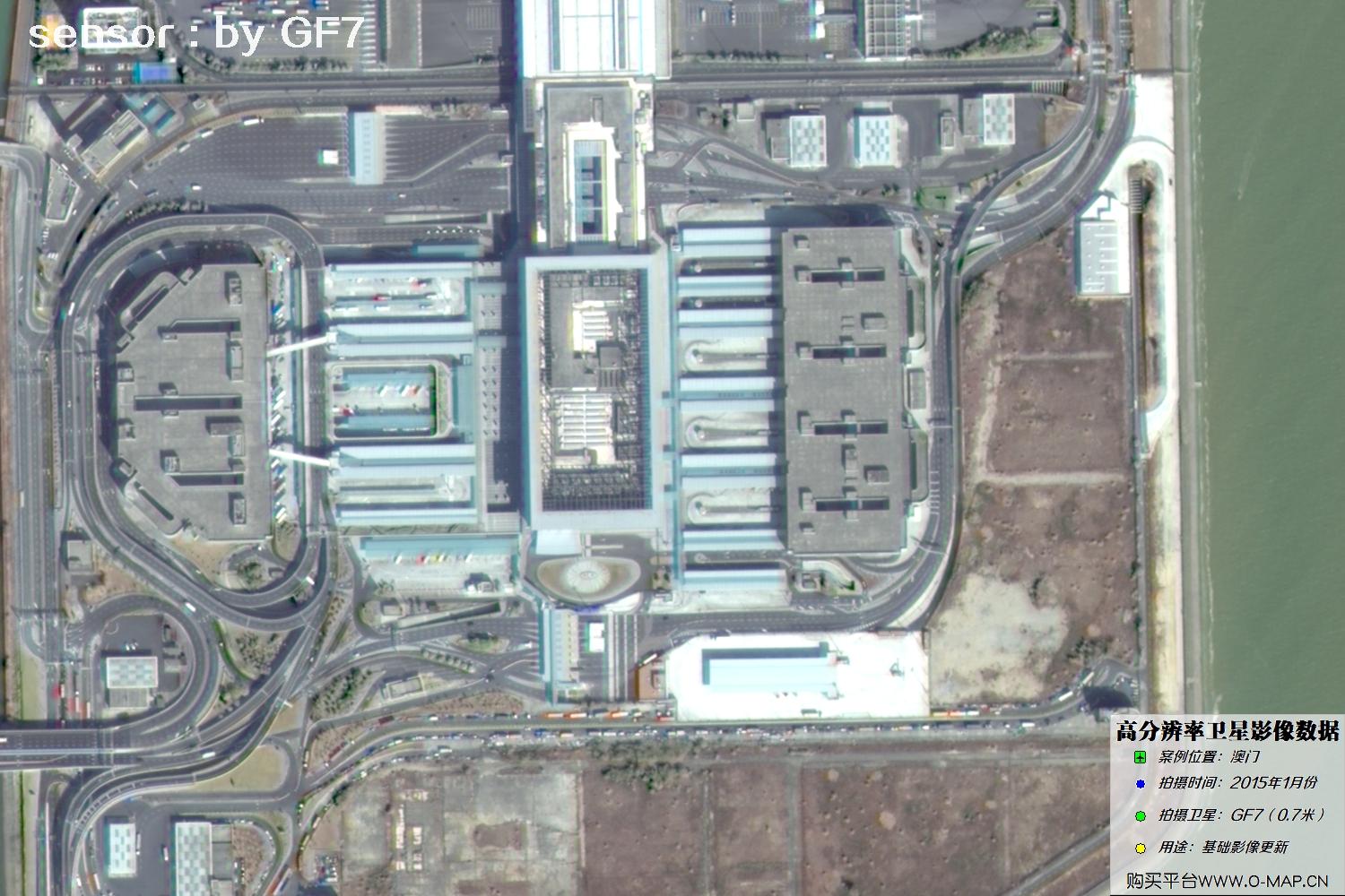
Fig. 15, GF7 Gaofen-7 satellite image of Macao, January 2015
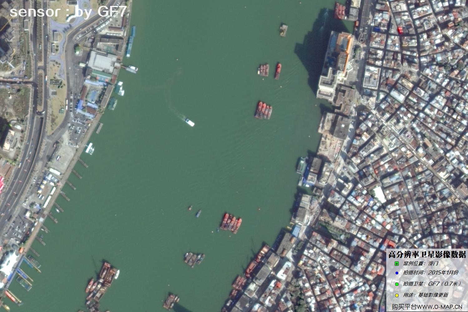
Fig. 16, GF7 Gaofen-7 satellite image of Macao, January 2015
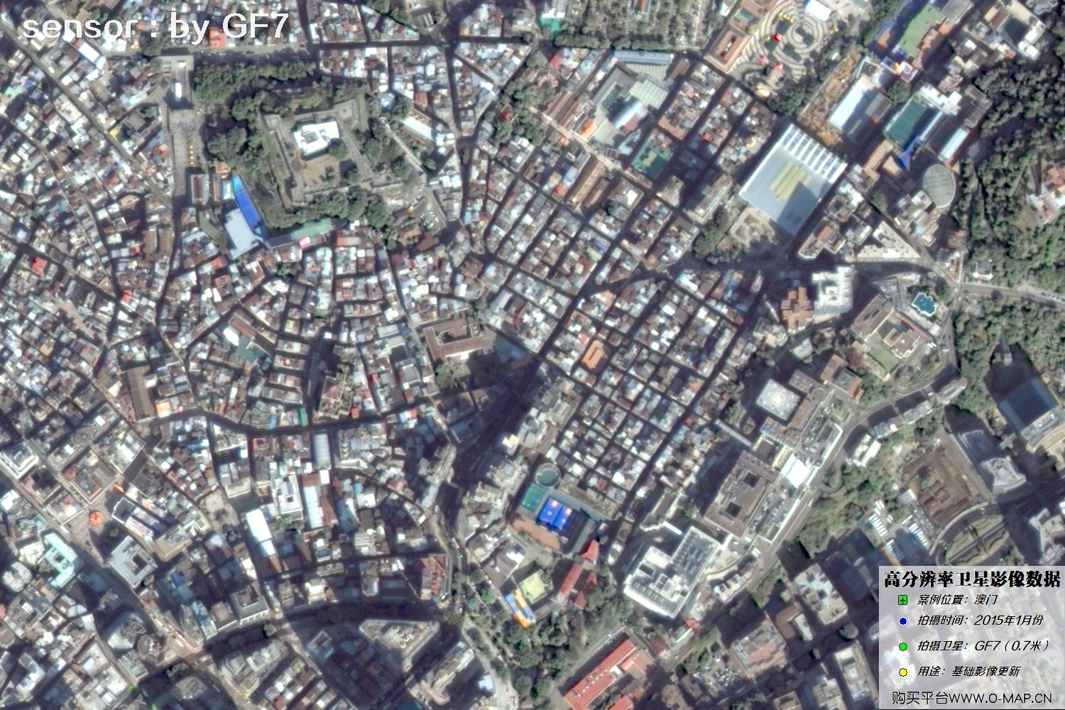
Fig. 17, GF7 Gaofen-7 satellite image of Macao, January 2015
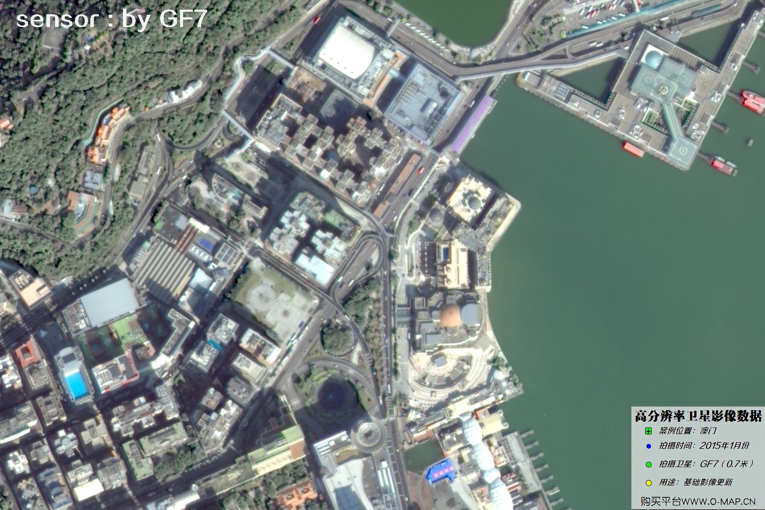
Fig. 18, GF7 Gaofen-7 satellite image of Macao, January 2015
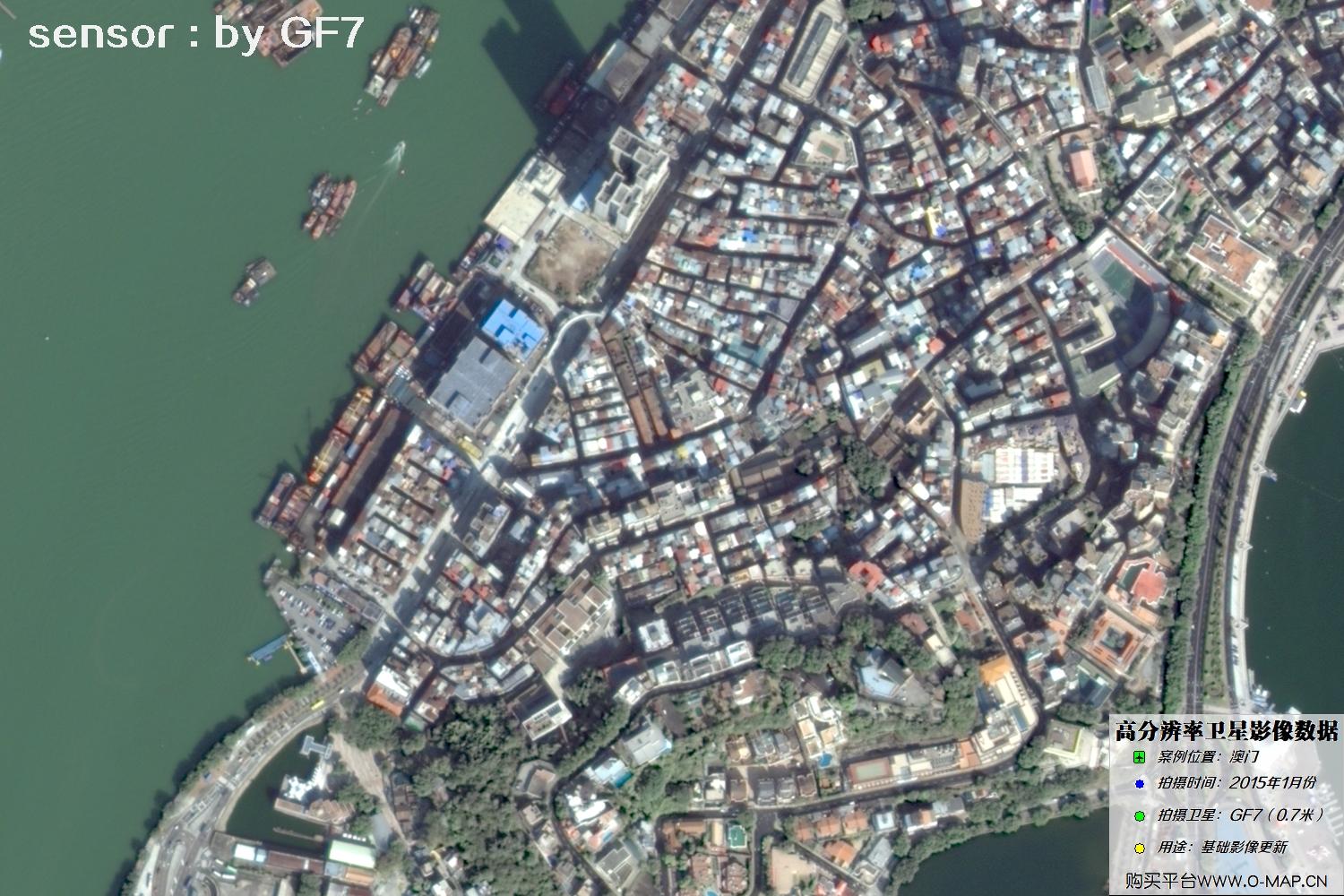
Fig. 19, GF7 Gaofen-7 satellite image of Macao, January 2015
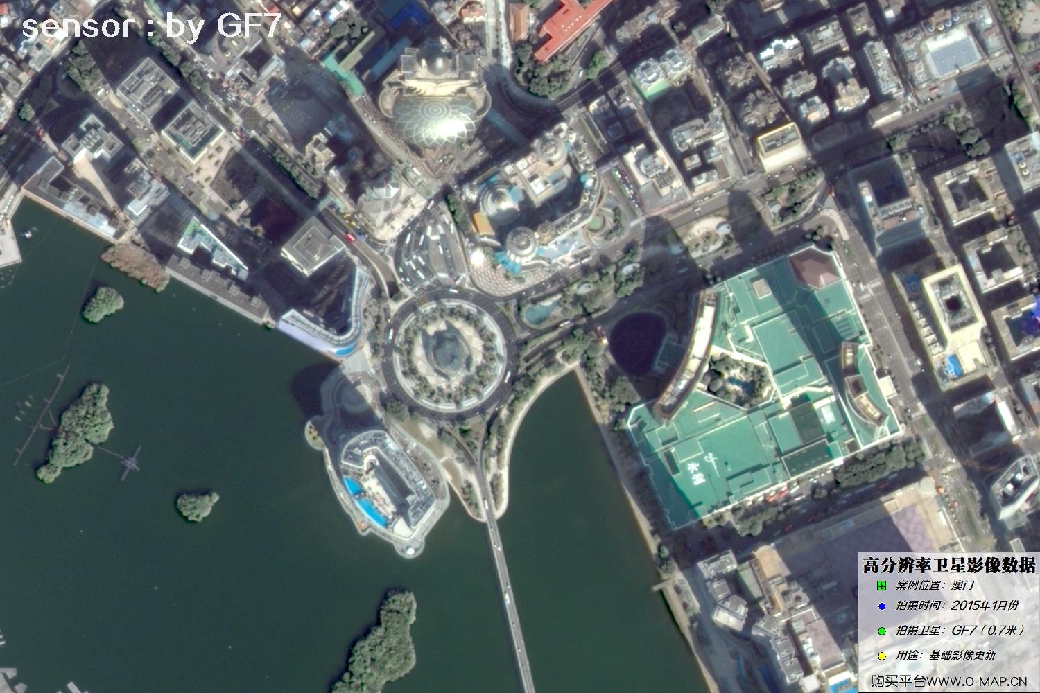
Fig. 20, GF7 Gaofen-7 satellite image of Macao, January 2015
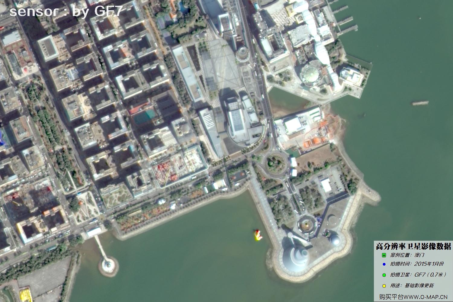
Fig. 21, GF7 Gaofen-7 satellite image of Macao, January 2015
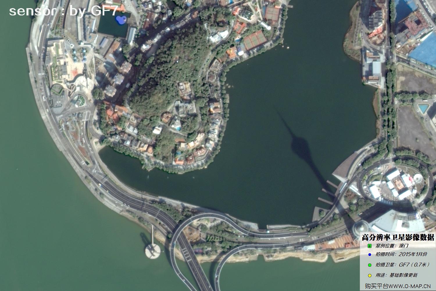
Fig. 22, GF7 Gaofen-7 satellite image of Macao, January 2015
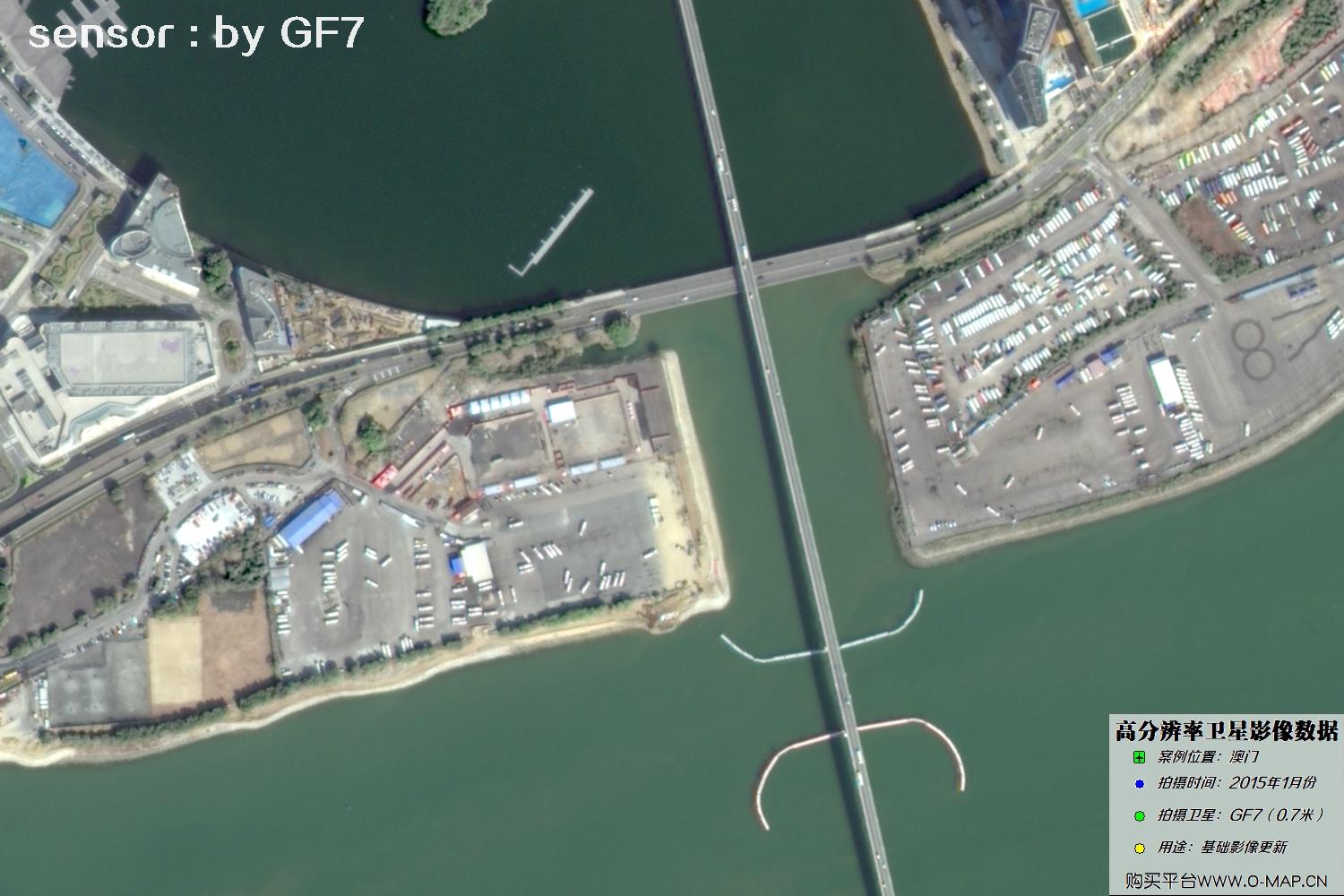
Fig. 23, GF7 Gaofen-7 satellite image of Macao, January 2015
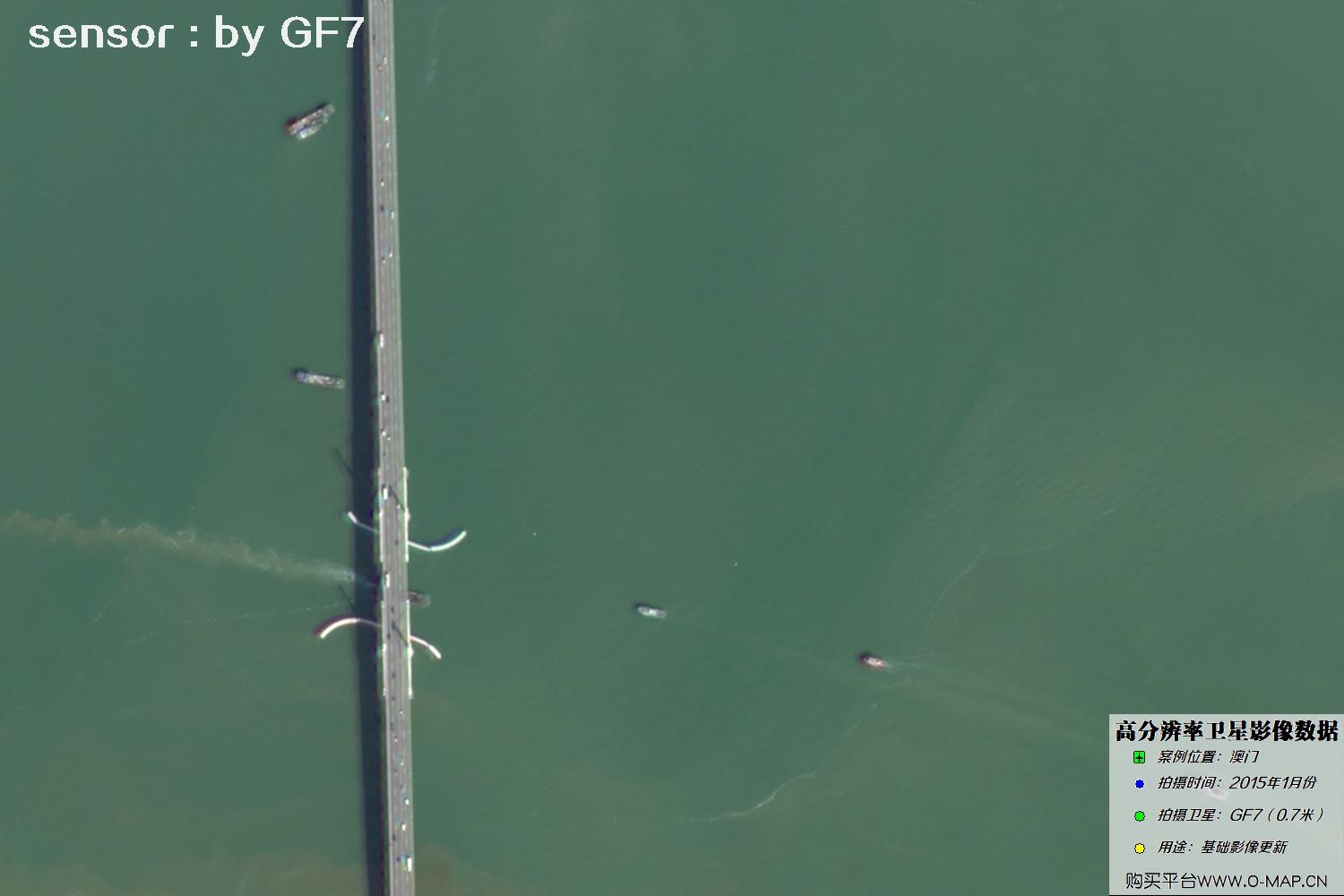
Fig. 24, GF7 Gaofen-7 satellite image of Macao, January 2015
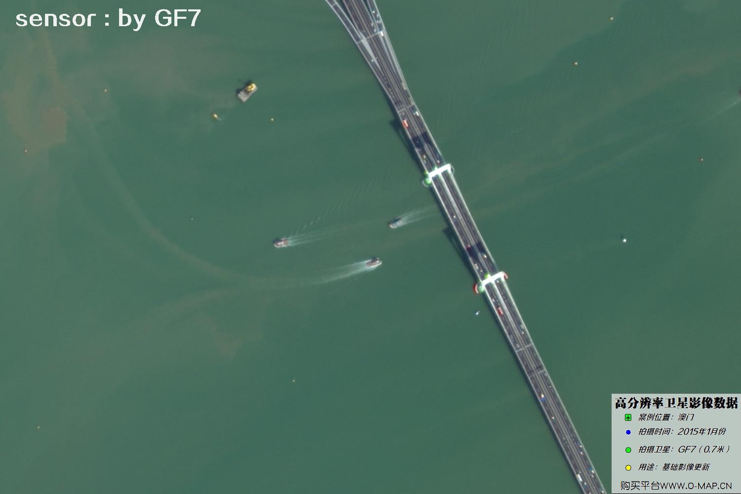
Fig. 25, GF7 Gaofen-7 satellite image of Macao, January 2015
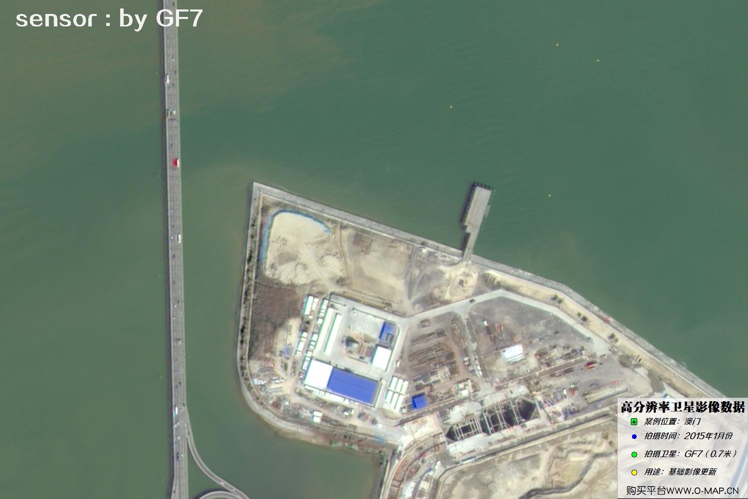
Fig. 26, GF7 Gaofen-7 satellite image of Macao, January 2015
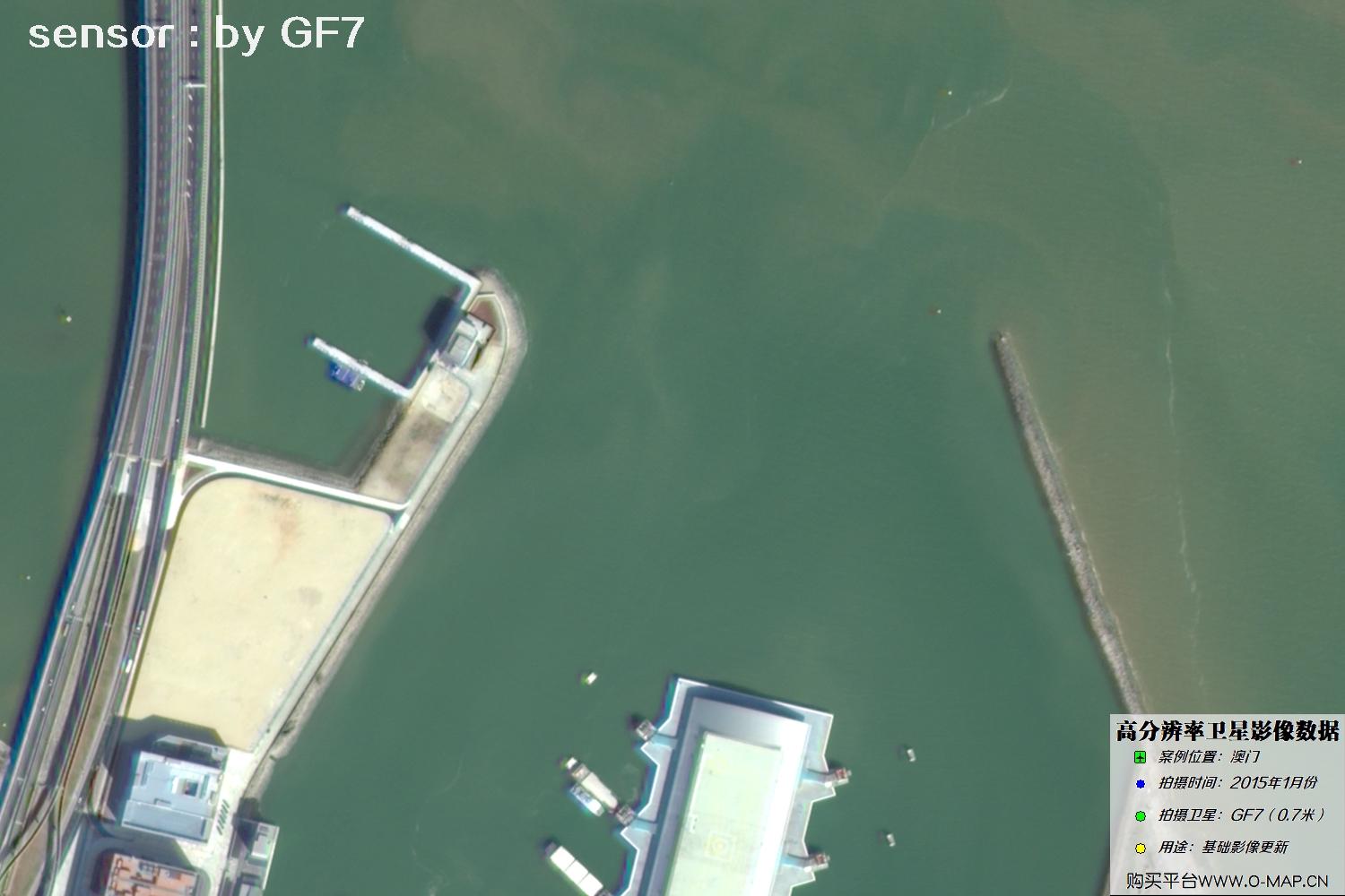
Fig. 27, GF7 Gaofen-7 satellite image of Macao, January 2015
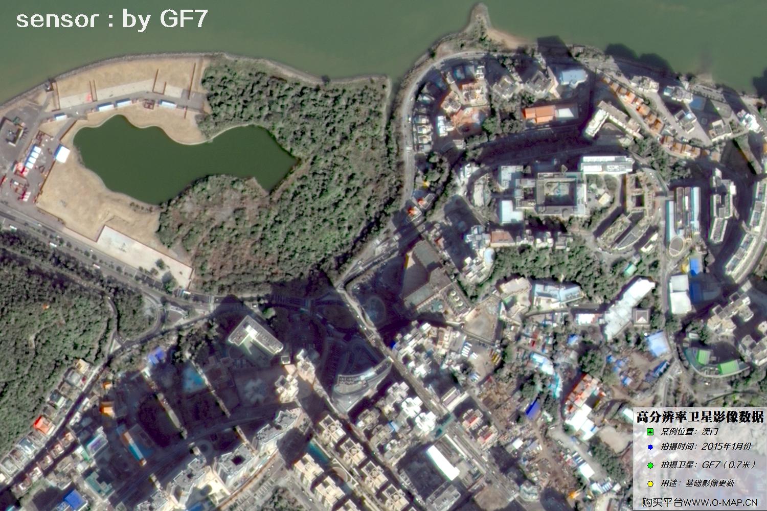
Fig. 28, GF7 Gaofen-7 satellite image of Macao, January 2015
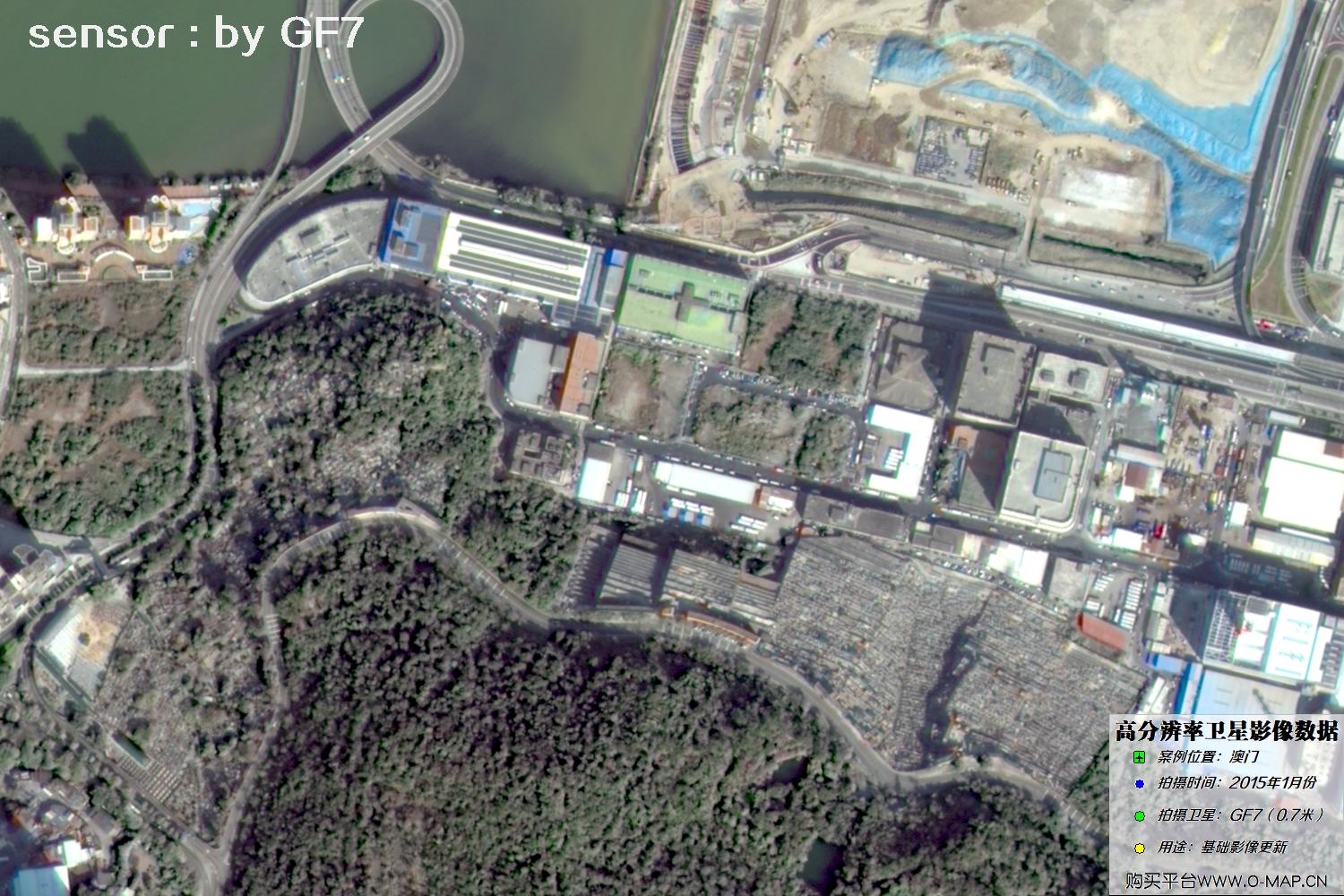
Fig. 29, GF7 Gaofen-7 satellite image of Macao, January 2015
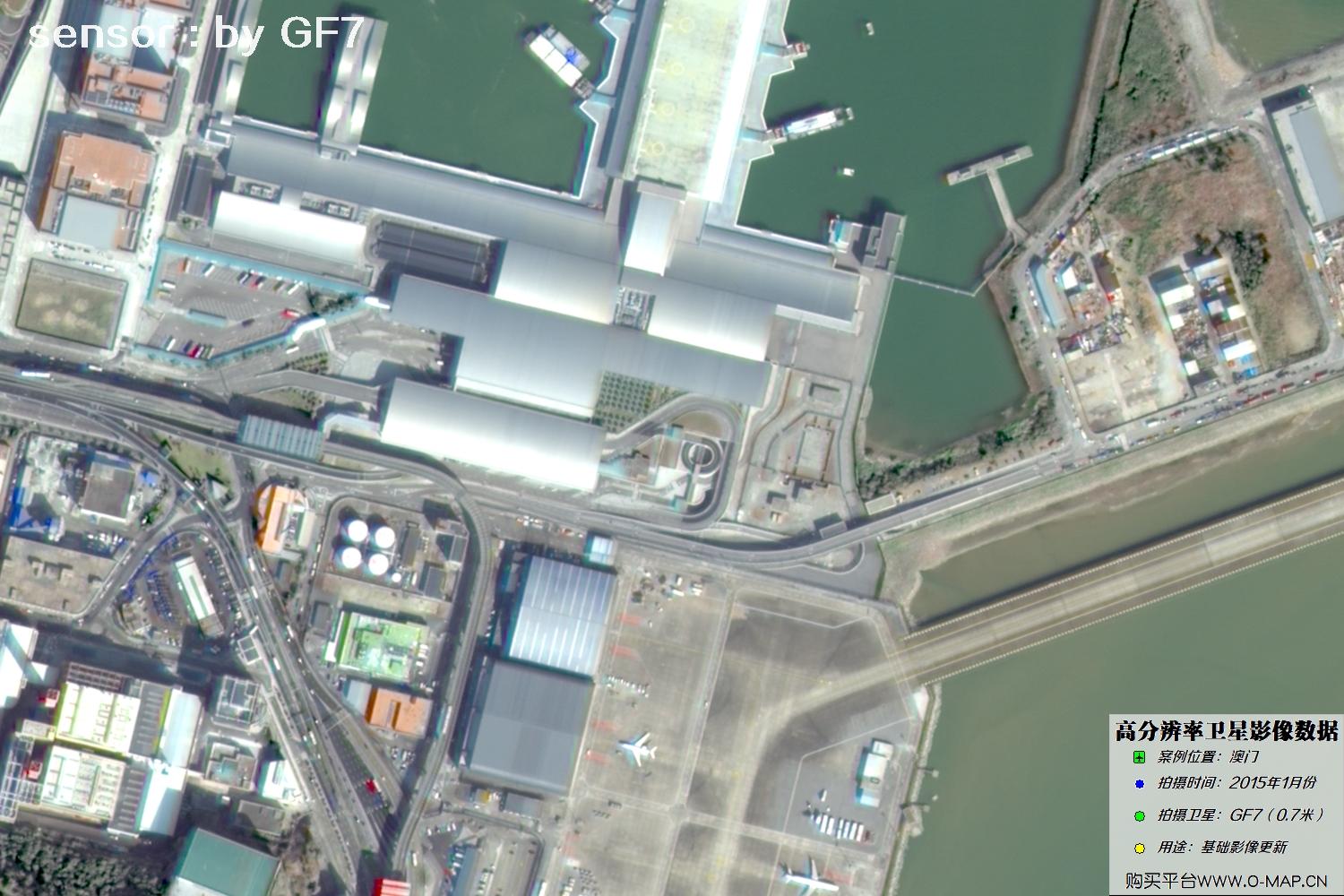
Fig. 30, GF7 Gaofen-7 satellite image of Macao, January 2015
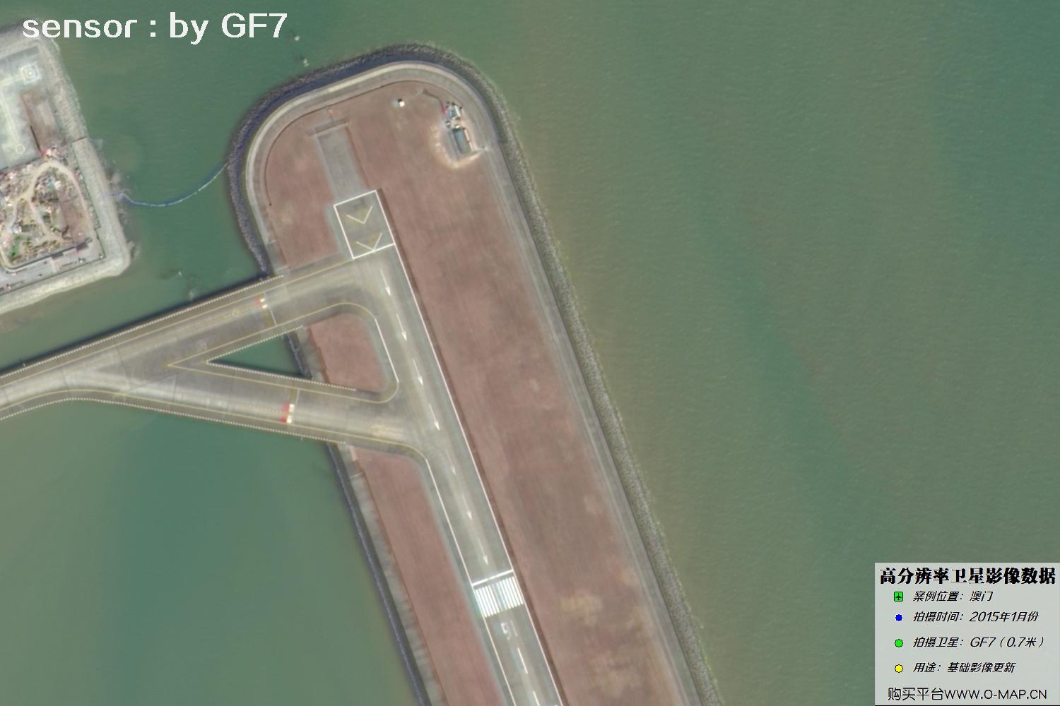
Fig. 31, GF7 Gaofen-7 satellite image of Macao, January 2015
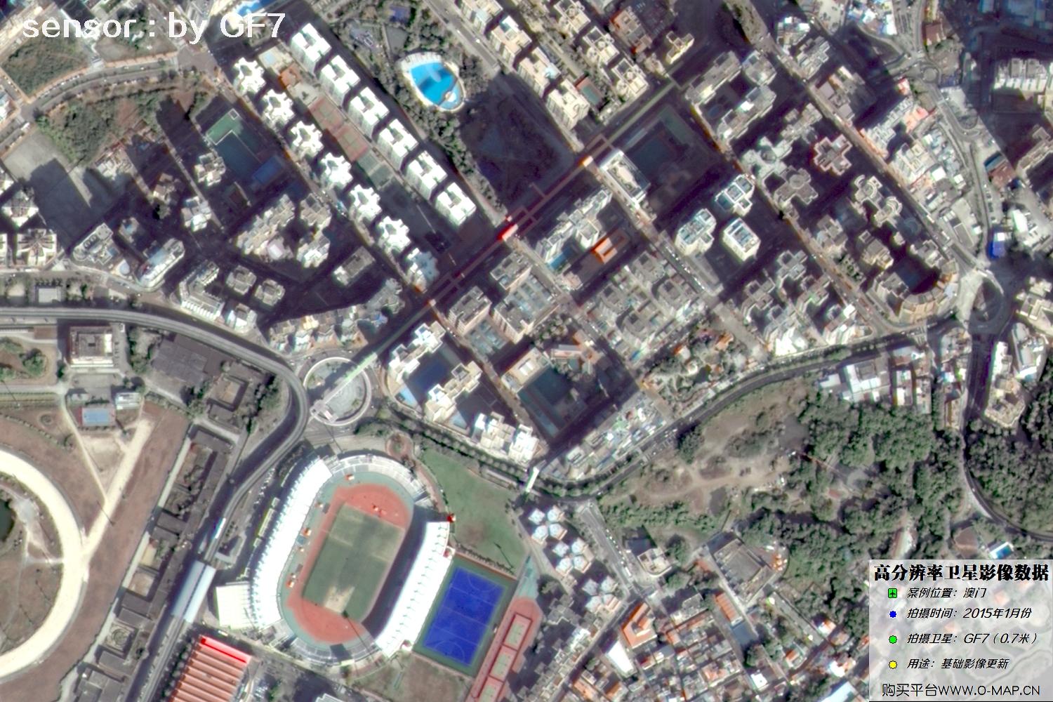
Fig. 32, GF7 Gaofen-7 satellite image of Macao, January 2015
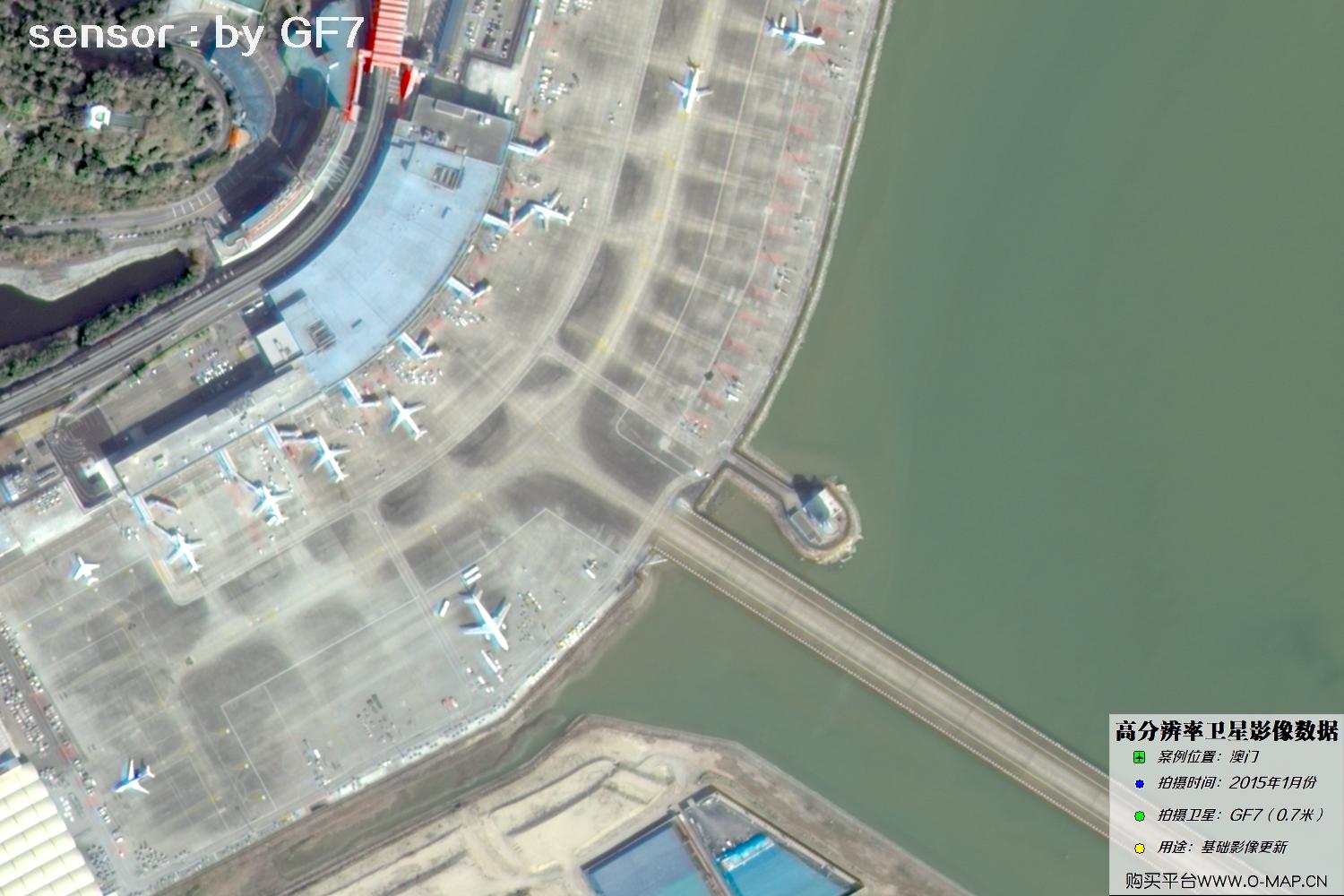
Fig. 33, GF7 Gaofen-7 satellite image of Macao, January 2015
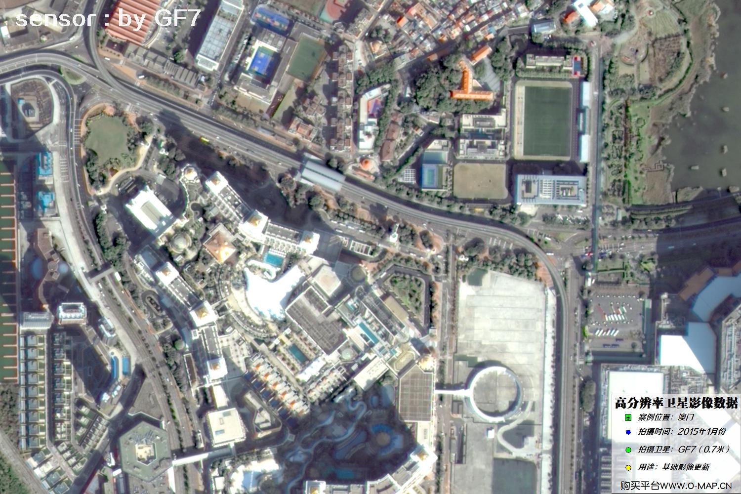
Fig. 34, GF7 Gaofen-7 satellite image of Macao, January 2015
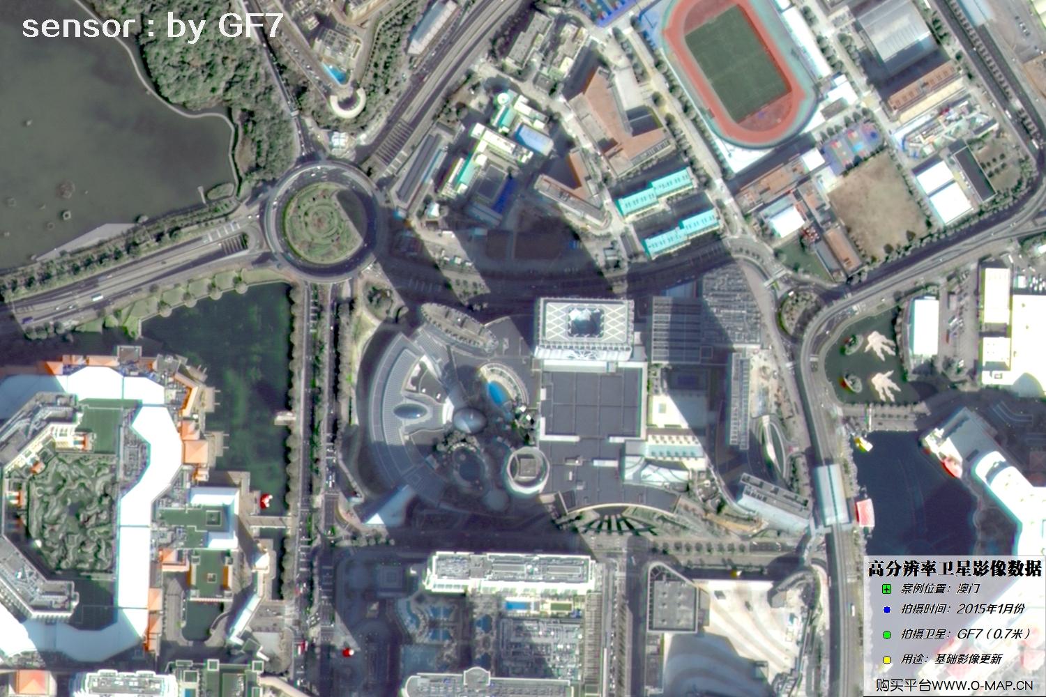
Fig. 35, GF7 Gaofen-7 satellite image of Macao, January 2015
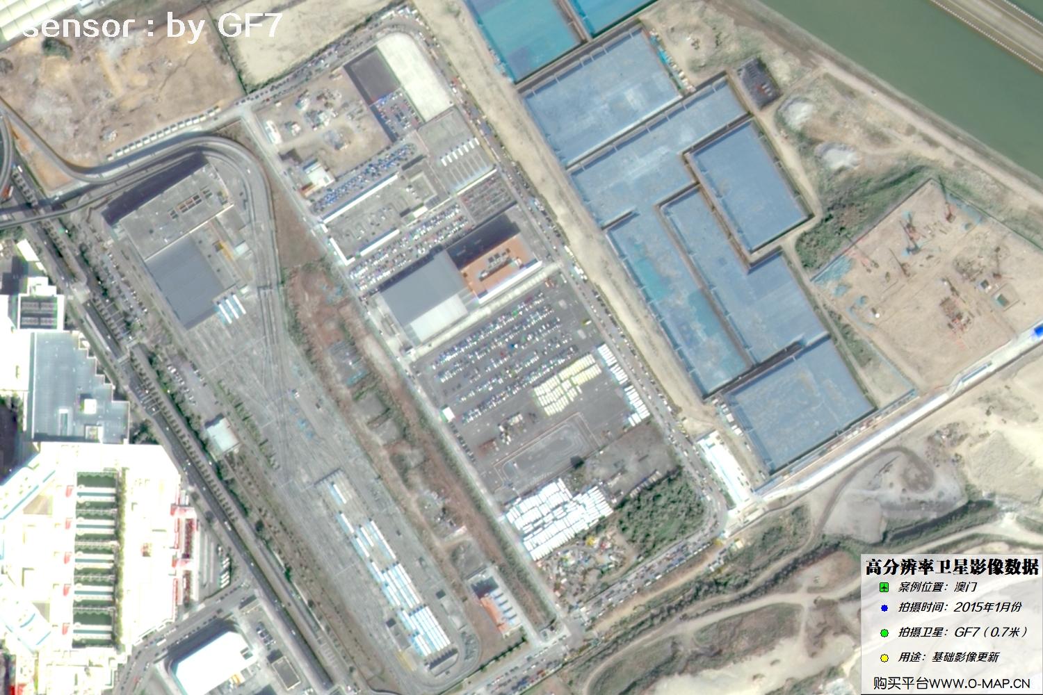
Fig. 36, GF7 Gaofen-7 satellite image of Macao, January 2015
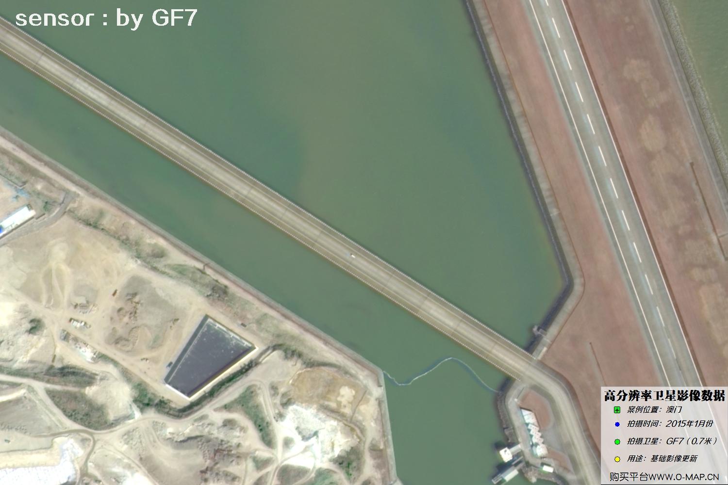
Fig. 37, GF7 Gaofen-7 satellite image of Macao, January 2015
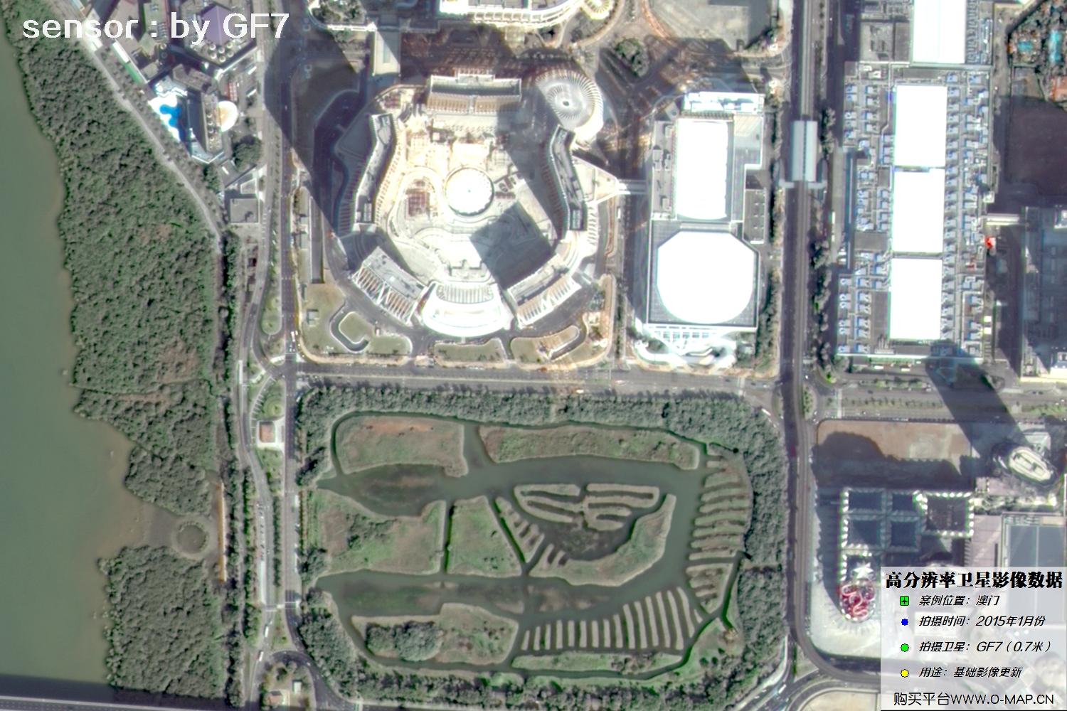
Fig. 38, GF7 Gaofen-7 satellite image of Macao, January 2015
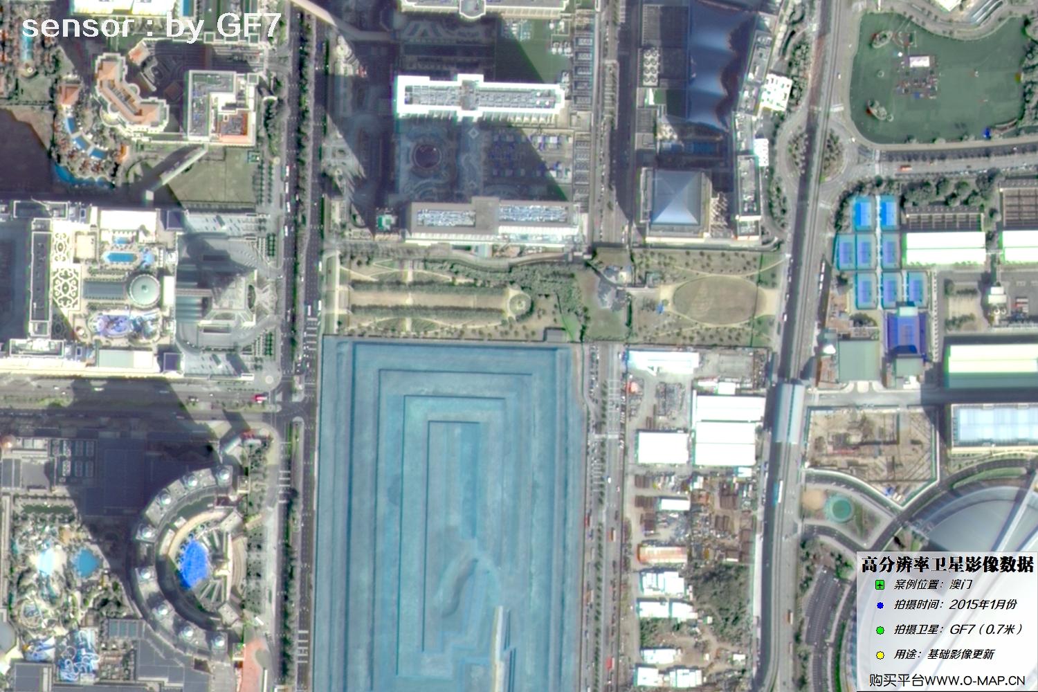
Fig. 39, GF7 Gaofen-7 satellite image of Macao, January 2015
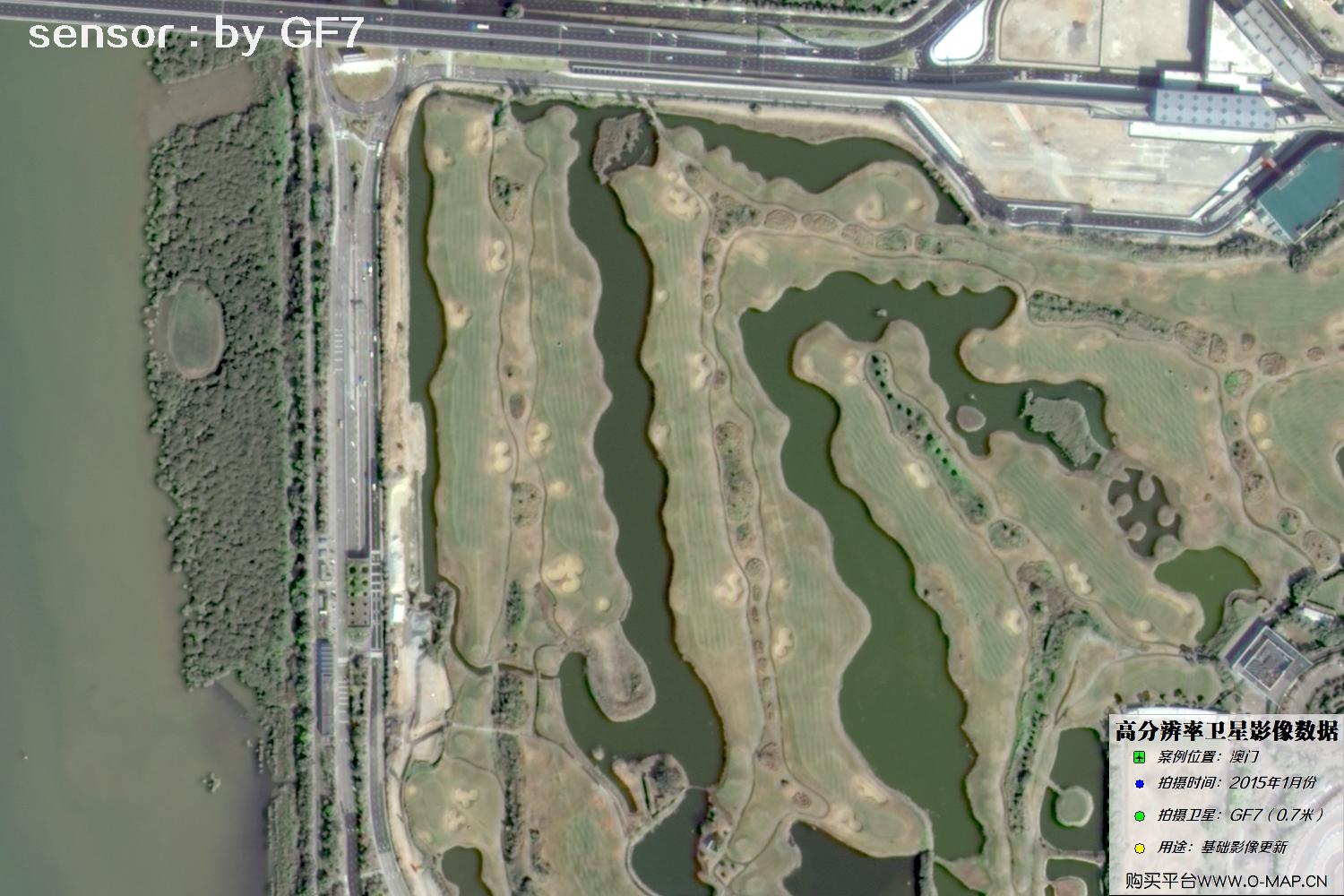
Fig. 40, GF7 Gaofen-7 satellite image of Macao, January 2015
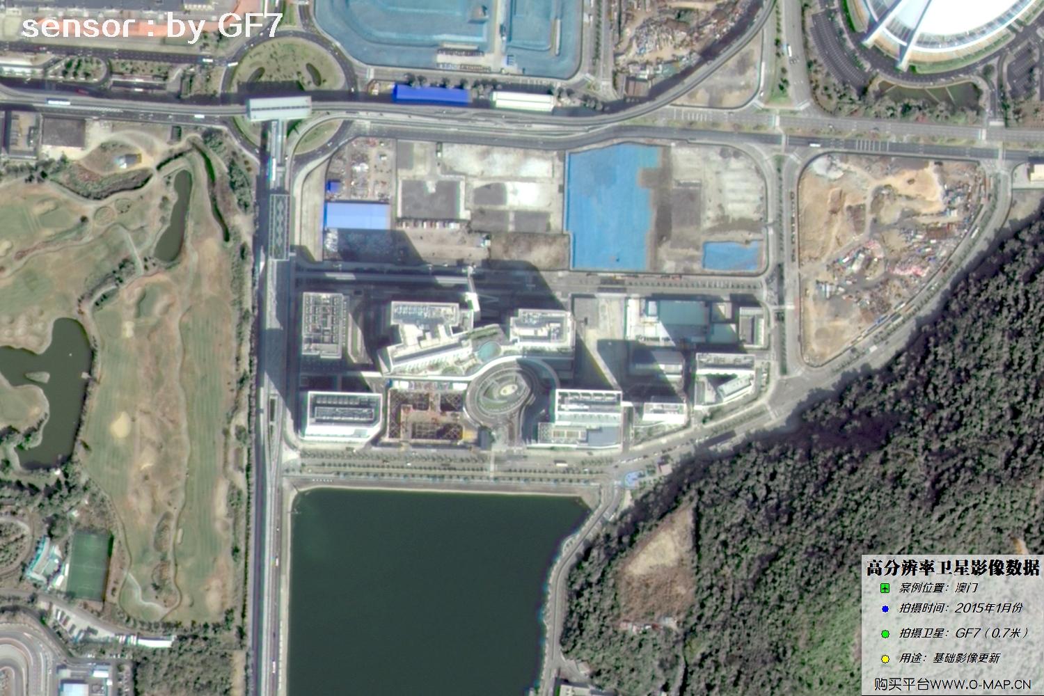
Fig. 41, GF7 Gaofen-7 satellite image of Macao, January 2015
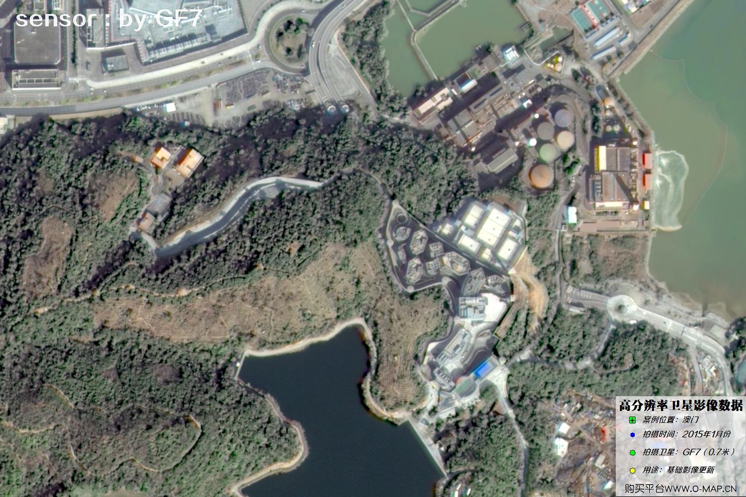
Fig. 42, GF7 Gaofen-7 satellite image of Macao, January 2015
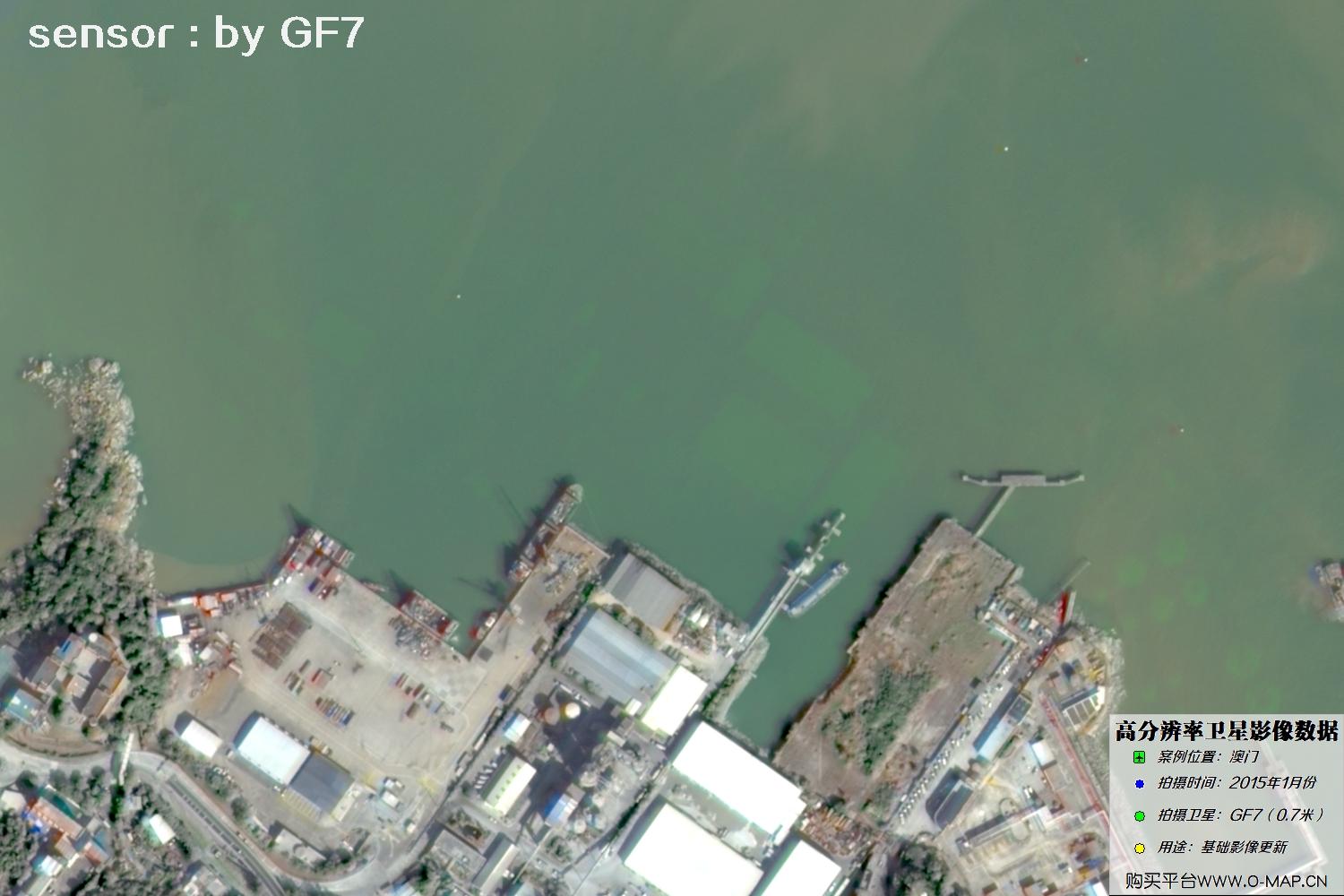
Fig. 43, GF7 Gaofen-7 satellite image of Macao, January 2015
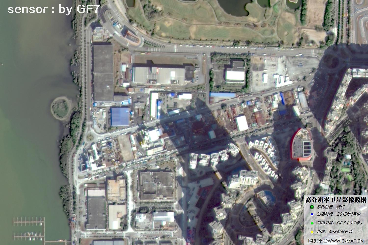
Fig. 44, GF7 Gaofen-7 satellite image of Macao, January 2015
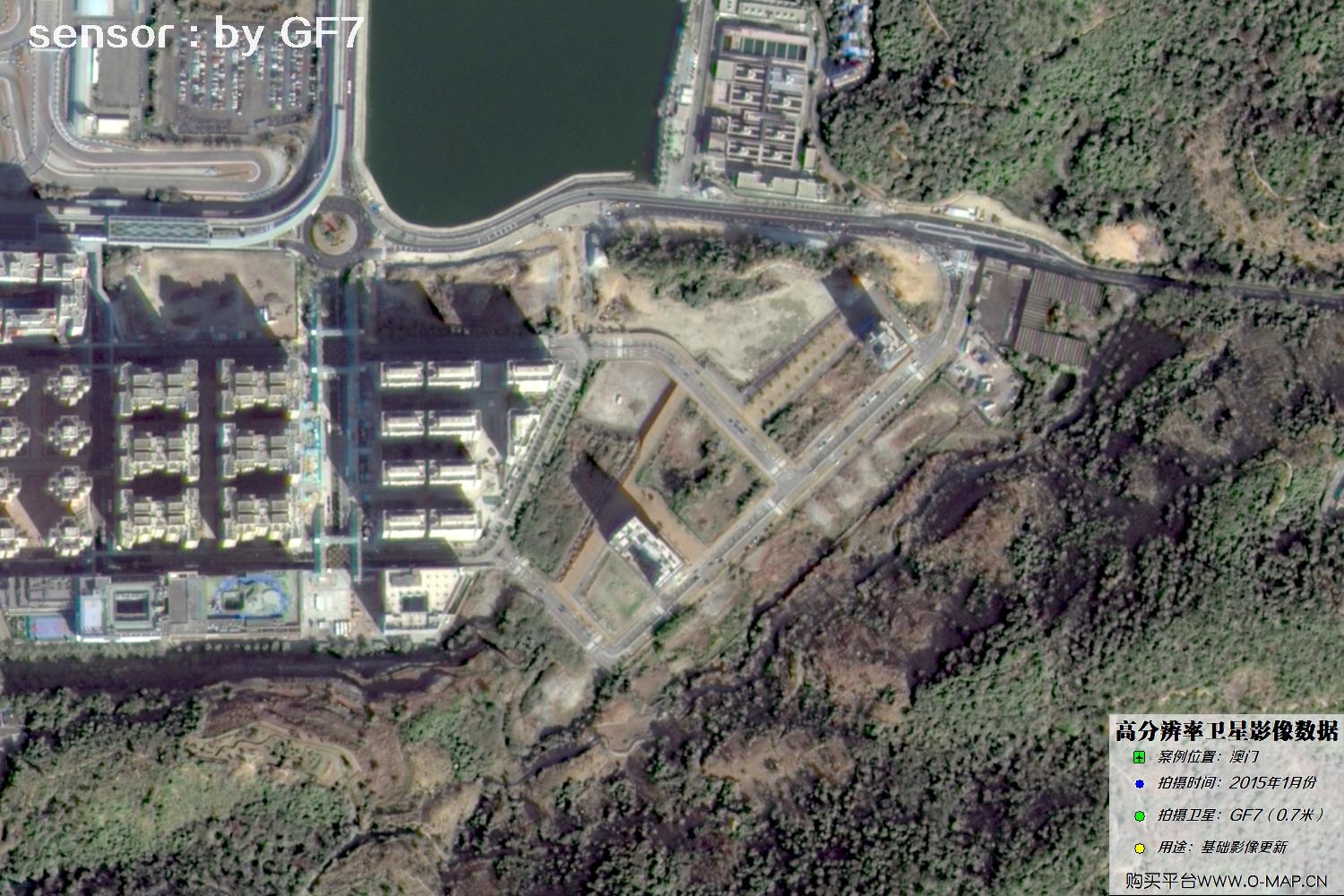
Fig. 45, GF7 Gaofen-7 satellite image of Macao, January 2015
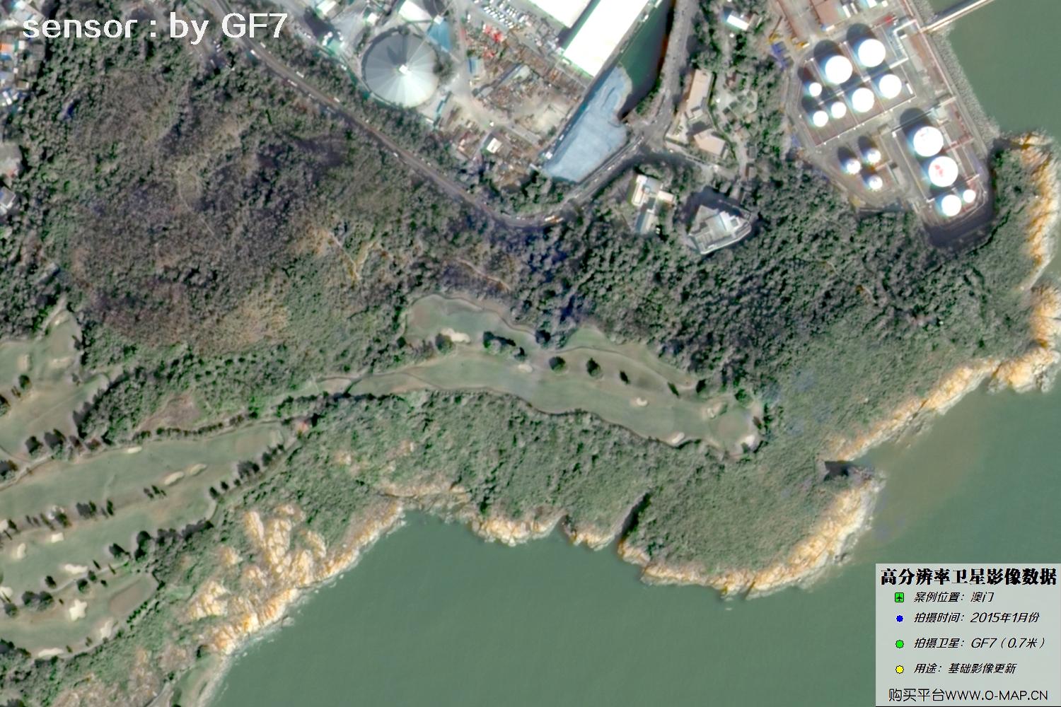
Fig. 46, GF7 Gaofen-7 satellite image of Macao, January 2015
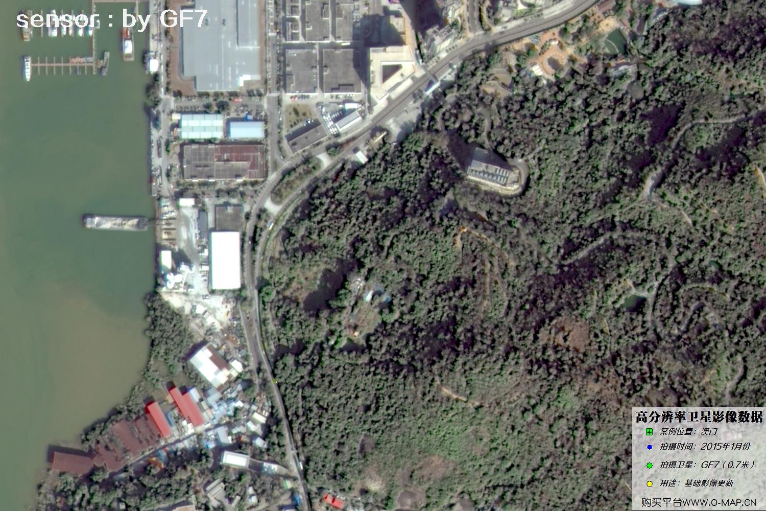
Fig. 47, GF7 Gaofen-7 satellite image of Macao, January 2015
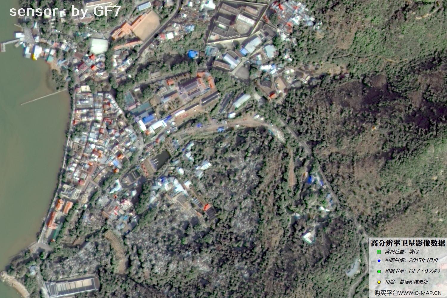
Fig. 48, GF7 Gaofen-7 satellite image of Macao, January 2015
Disclaimer: This is an original article by our company. No reproduction without permission. Violators will be held liable. Original articles shall not be reproduced.
About Beijing Yijingtu Geoinformation Technology Co., Ltd.
Beijing Yijingtu Geoinformation Technology Co., Ltd. (hereinafter referred to as “Beijing Yijingtu”) is a well-known satellite map service provider in China, headquartered in Chaoyang District, Beijing. Beijing Yijingtu mainly provides domestic 1–3 m resolution remote sensing imagery and map data services, including historical imagery maps taken from the 1960s to the 1980s, as well as Gaofen-series satellite images acquired after 2015.
Satellite imagery data are purchased by area (scene). Domestic satellite imagery maps range from about RMB 1 to RMB 30 per square kilometer, with an average price of approximately RMB 500 to RMB 3,000 per image. (Note: the final price depends on the area purchased, resolution, acquisition date, product type and processing requirements — please consult our staff for details. For higher-resolution requirements, the unit price is approximately RMB 100–500 per square kilometer.)
Satellite imagery map data are special electronic digital products. Any individual, company or institution can purchase satellite imagery data upon payment. We provide formal satellite imagery procurement contracts and invoices. Delivery is normally expected within 5–10 working days after purchase, with expedited processing available for same-day delivery.
Value-added services: to meet customers’ multi-source needs, we can provide wall map production (for offices, meeting rooms or scenic areas), automatic map classification (forest land / cultivated land / water systems / roads / buildings / open land), bare-soil / bare-land monitoring, 3D white-model production, building detection and vector extraction, target change comparison (in image or video format), layout and mapping for dispute evidence, place-name annotation, style beautification (for landscape and bird’s-eye views), and HD super-resolution processing (to improve the clarity of existing imagery), tailored as closely as possible to customers’ actual application scenarios and requirements.
To learn more about or purchase satellite imagery map data, please contact our staff or leave us a message online. Click Online Search to view more satellite imagery projects and map samples, and check Site News for more satellite introductions and industry updates.
Contact Us
- Company: Beijing Yijingtu Geoinformation Technology Co., Ltd.
- Address: Wangjing Center, Chaoyang District, Beijing, China
- Data inquiry (WeChat): xdj_jl
- Phone: 13301238517
- Email: accpxdj@gmail.com
- A well-known commercial satellite imagery data service provider
©2021-2026 Beijing Yijingtu Geoinformation Technology Co., Ltd. All rights reserved. Jing ICP Bei No. 2021039670-1