🚢Ships on the Yangtze River Shipping Channel Captured by GF7 Satellite | Buy GF7 Satellite image
The Yangtze River is the great water transport artery running across eastern, central and western China, and one of the busiest inland shipping channels in the world. It reaches up to Chongqing and Wuhan and down to Nanjing and Shanghai, linking the factories and ports along its banks into a complete logistics chain that stretches to overseas markets. Every day thousands of cargo ships, container vessels, tankers and working boats move back and forth, carrying coal, ore, steel, grain and containers without pause. The Wuhu section lies in the lower reaches of the Yangtze, with a wide channel and good water depth, making it an important port and shipping hub for the Wanjiang city belt. Vessels are dense here, and anchorages, wharves and branching waterways weave together. Seen from space, these ships look like little moving dots of light on the river. They reflect how active shipping is, and they offer an intuitive basis for water traffic management, vessel flow statistics, sand mining supervision and channel safety monitoring.
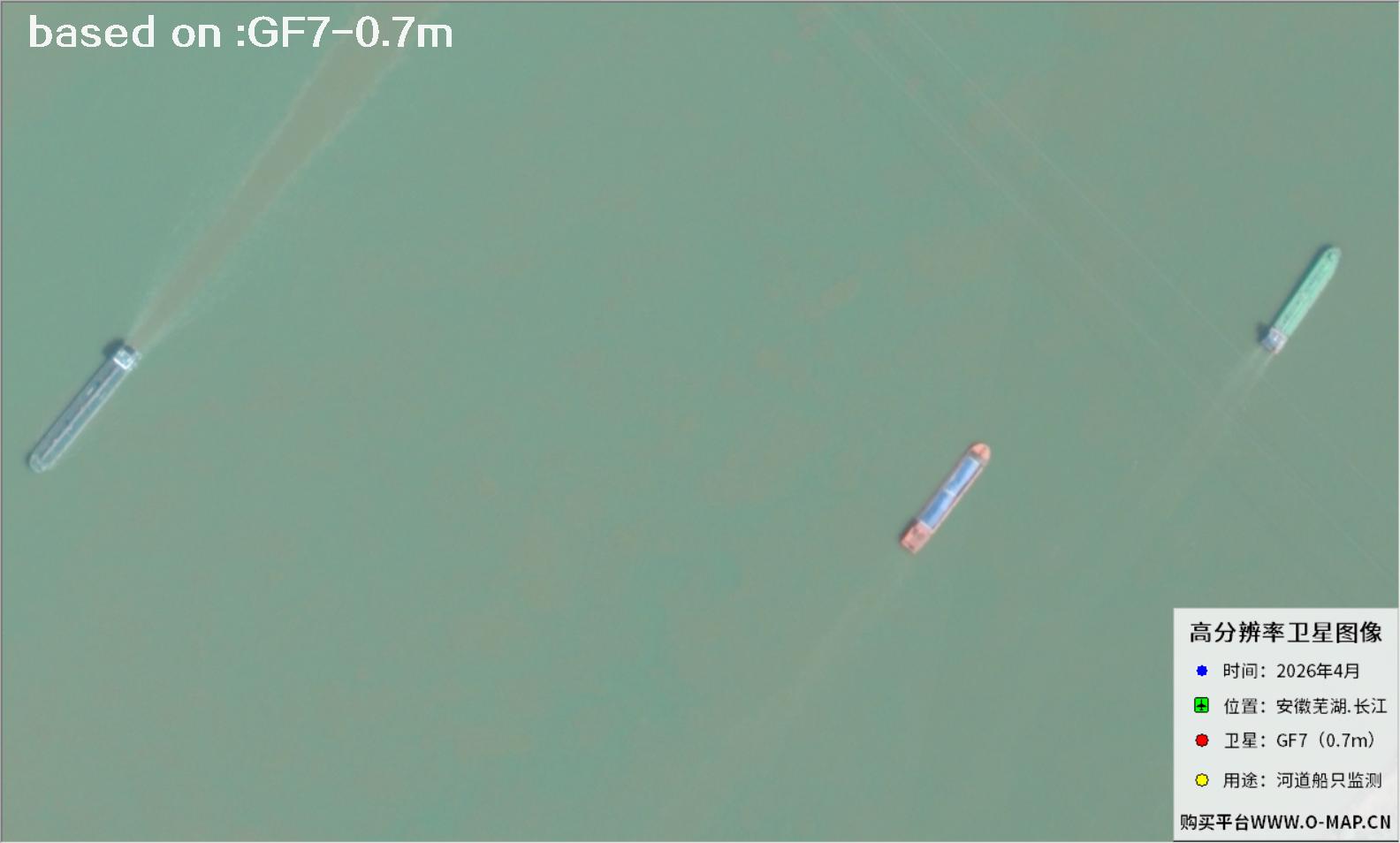
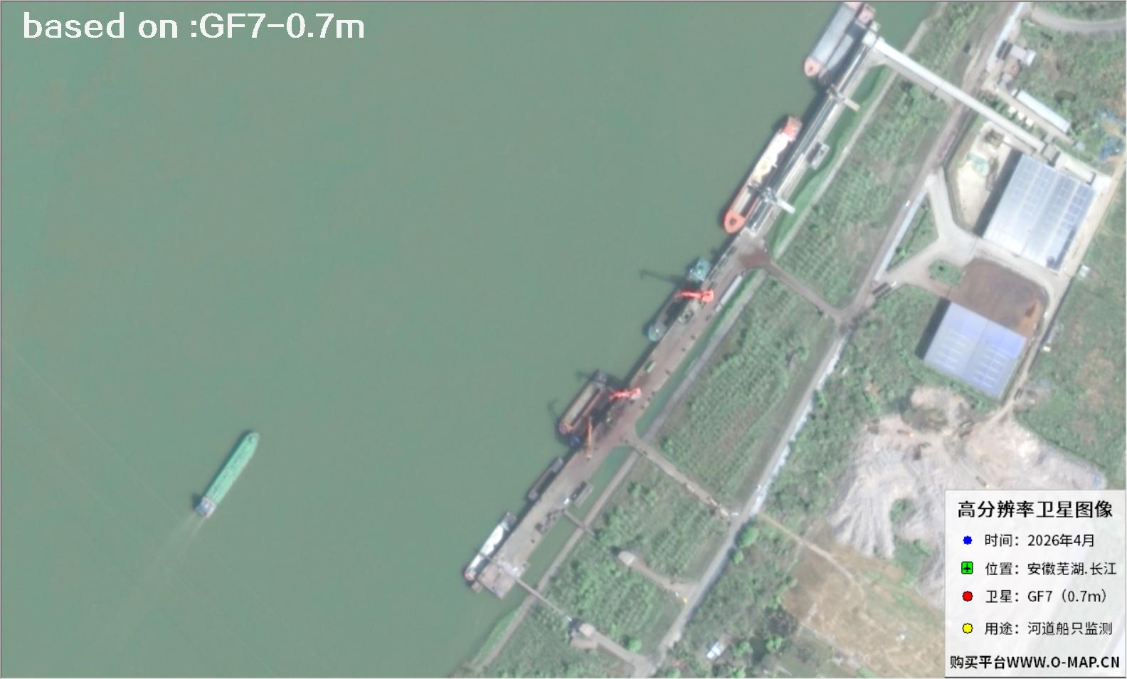
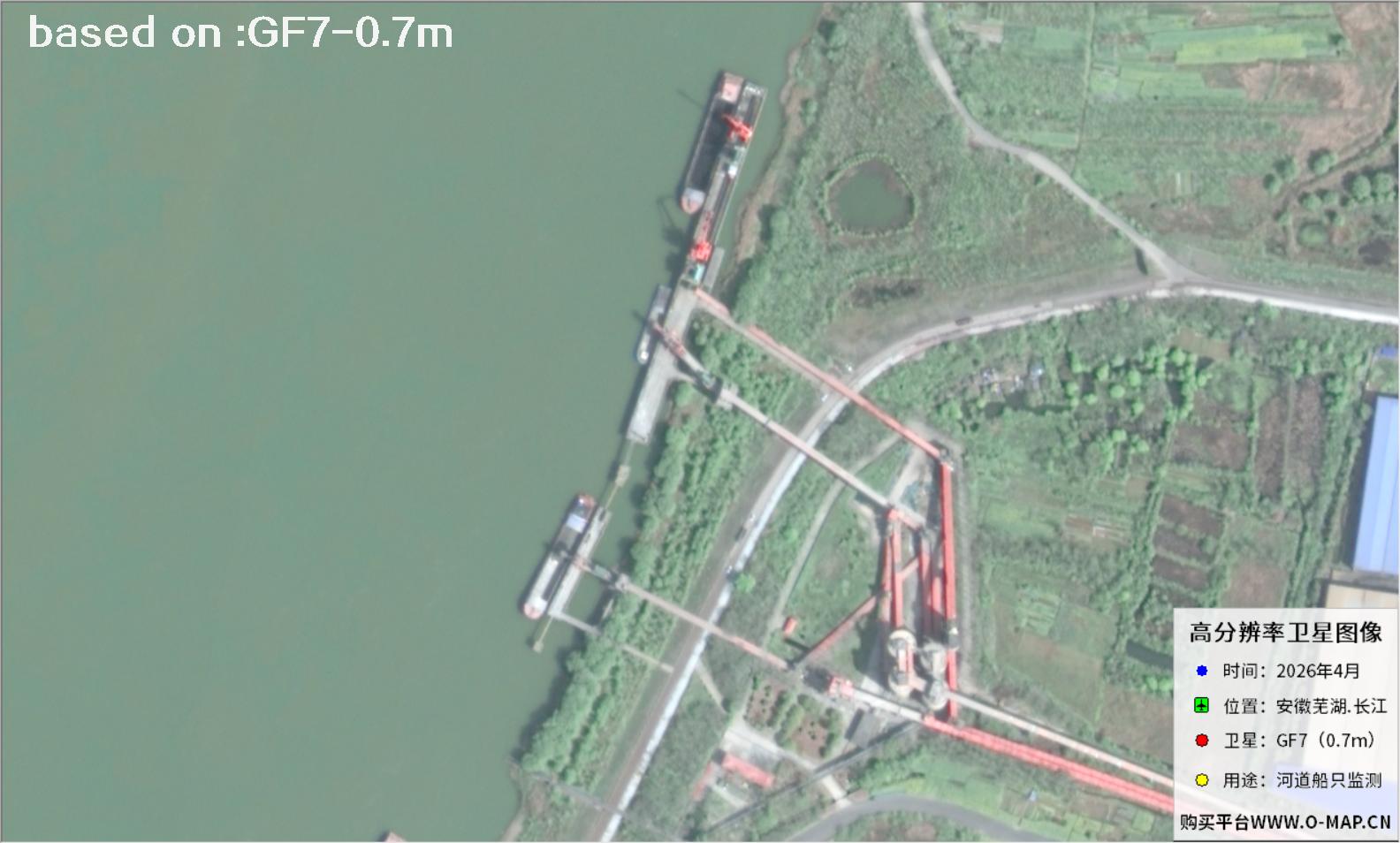
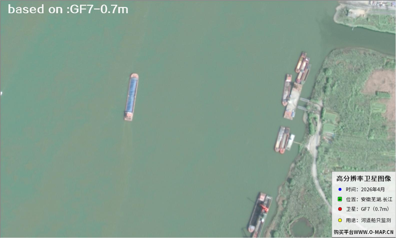
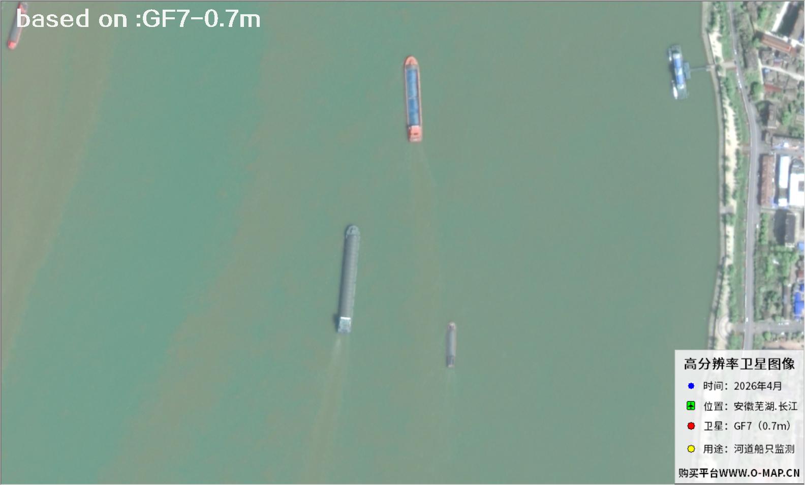
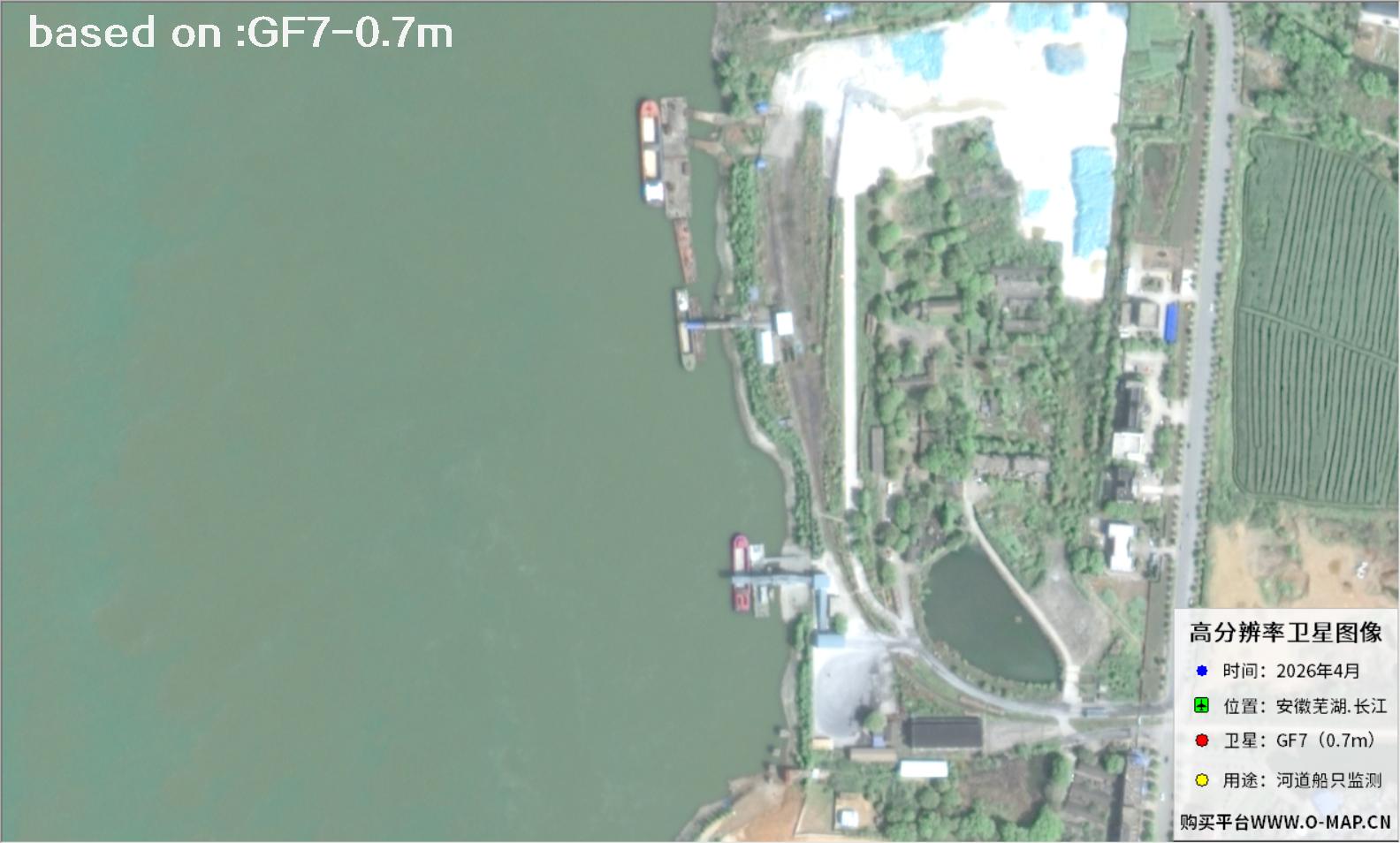
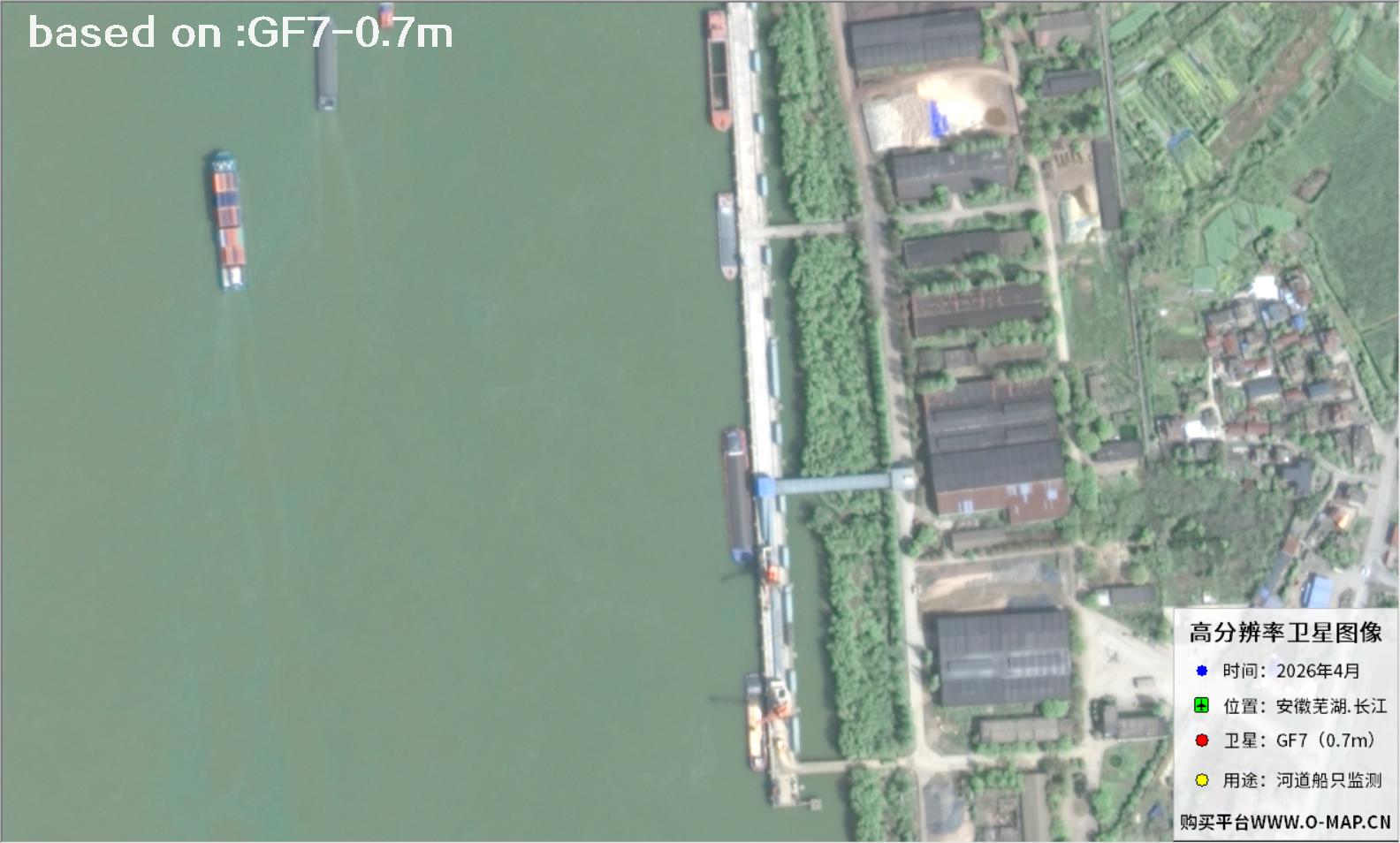
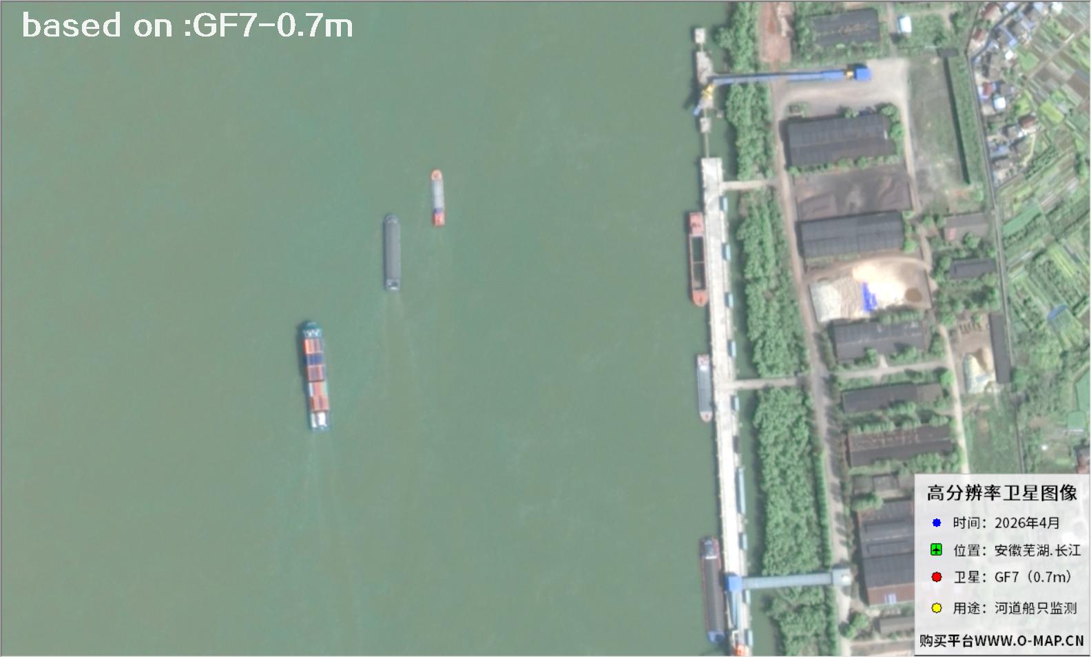
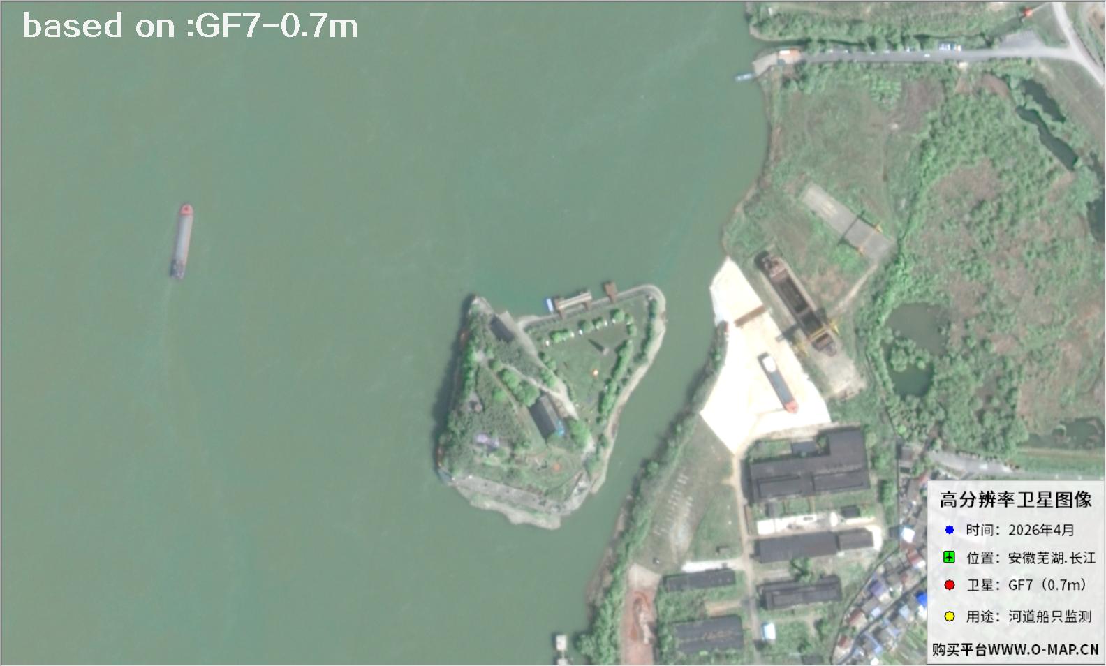
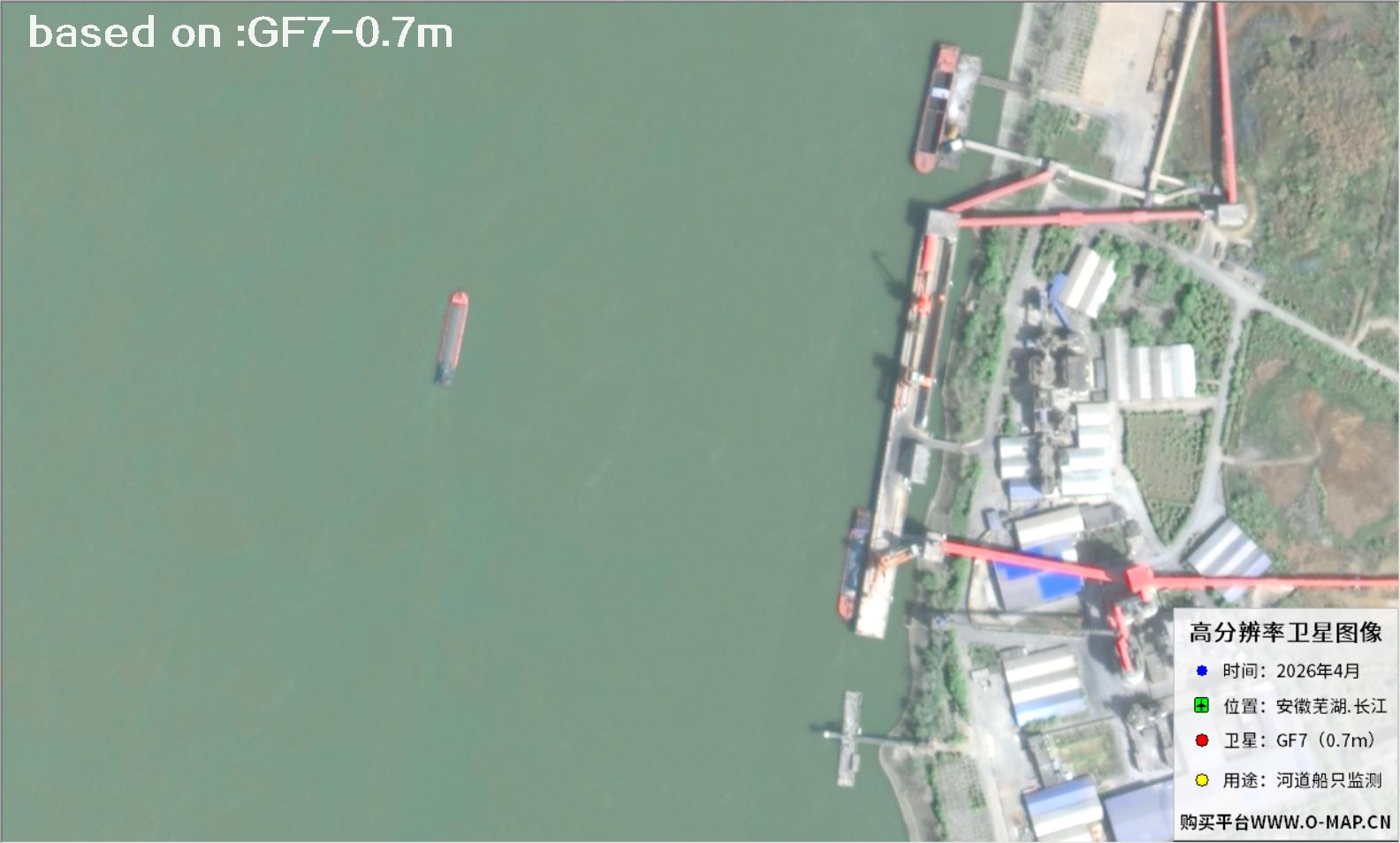
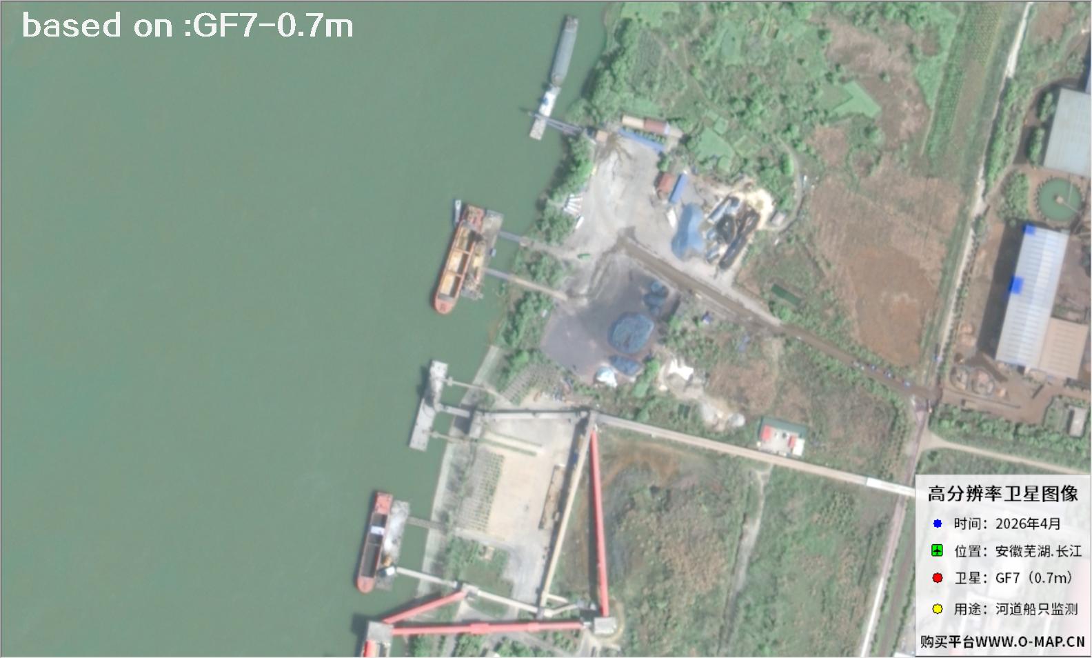
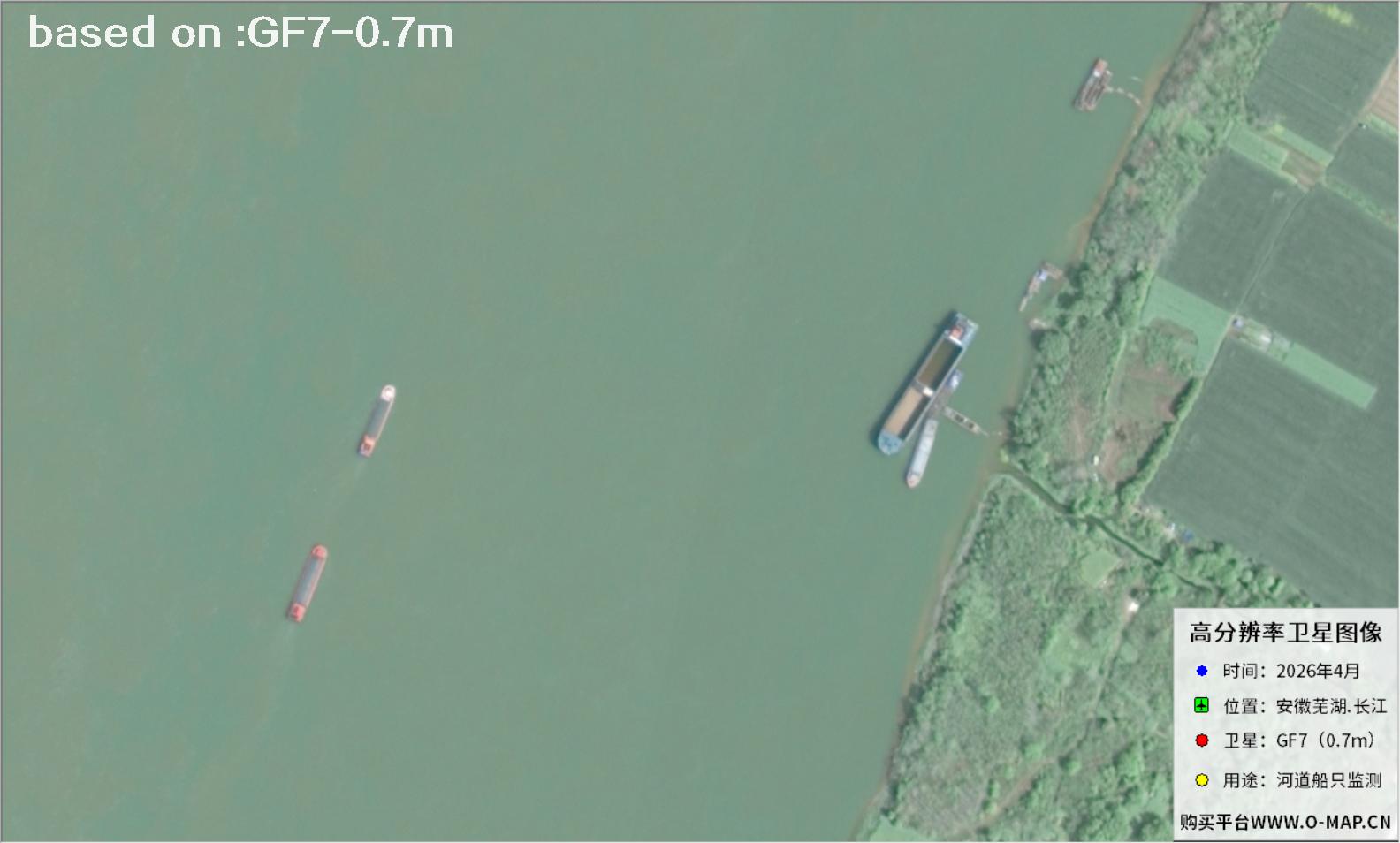
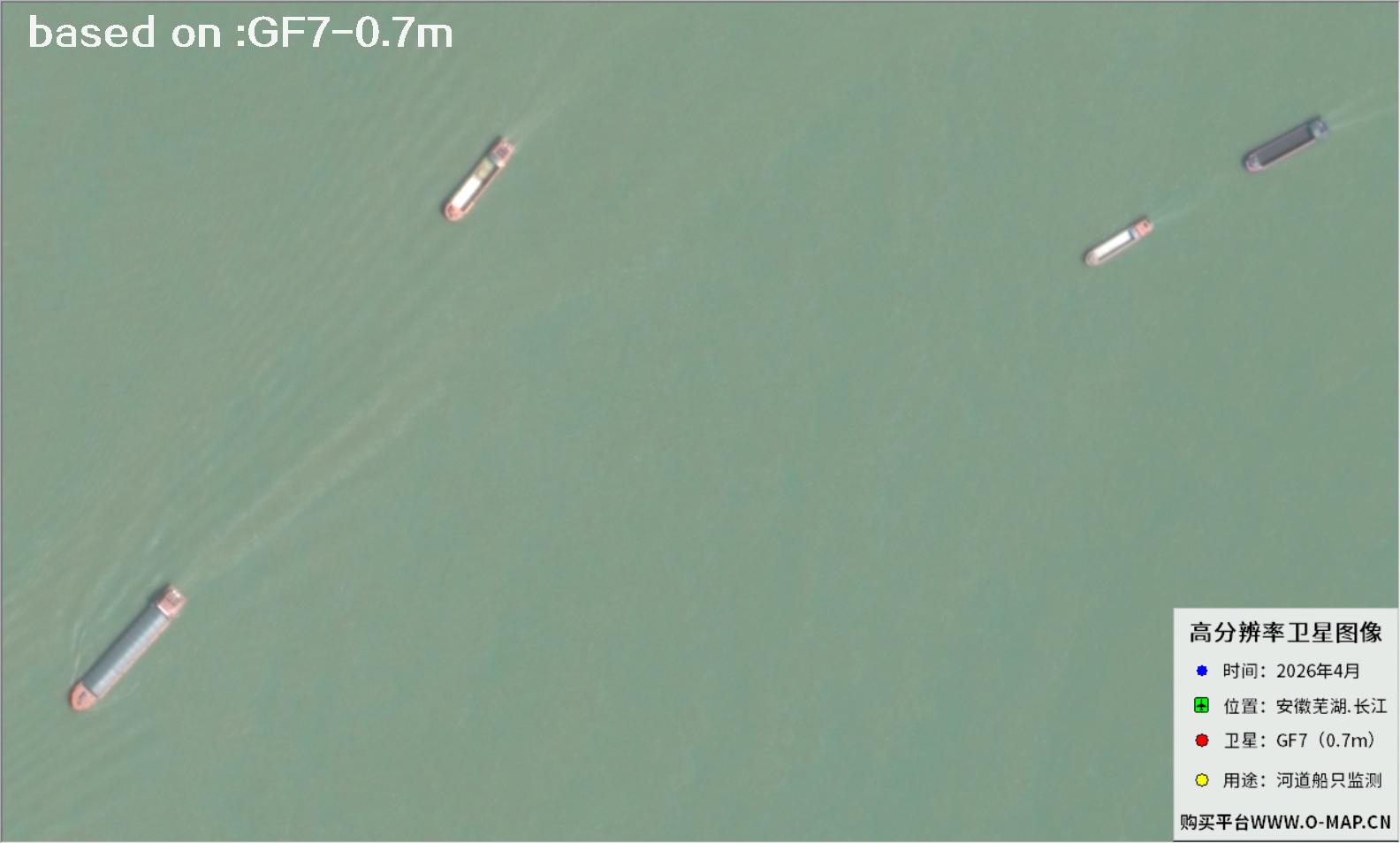
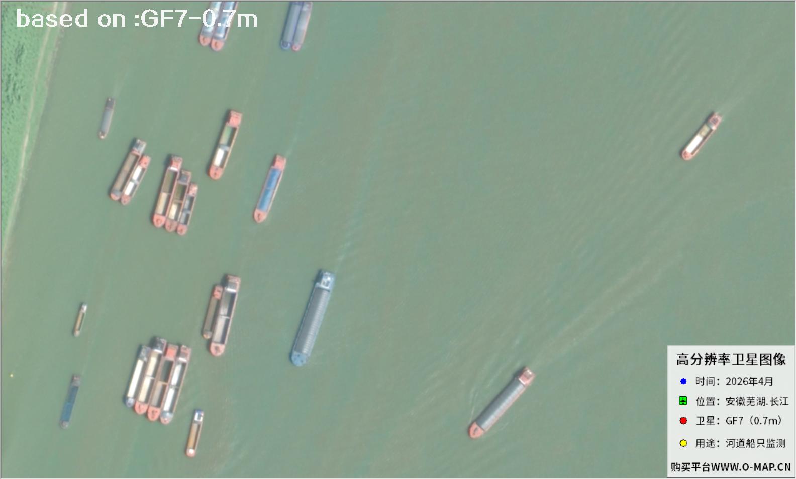
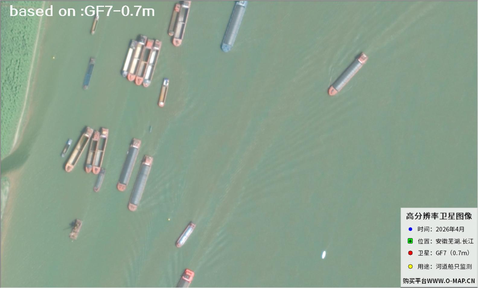
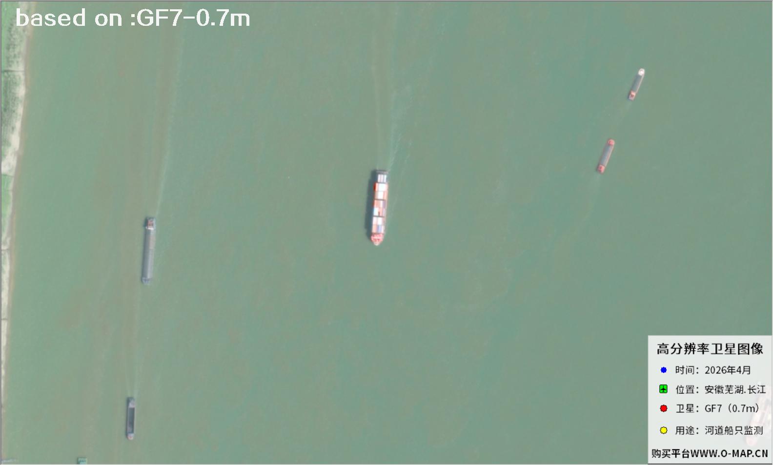
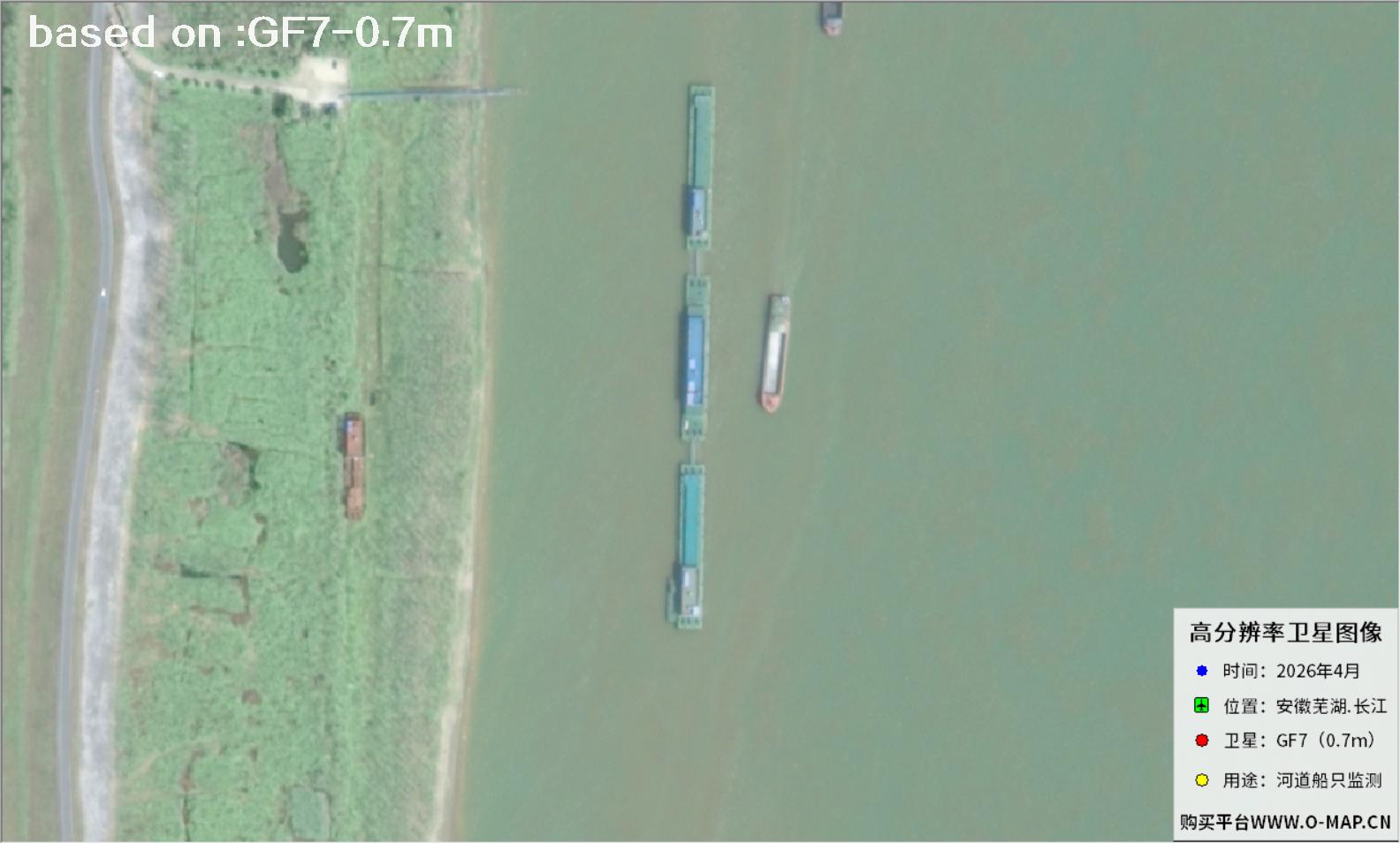
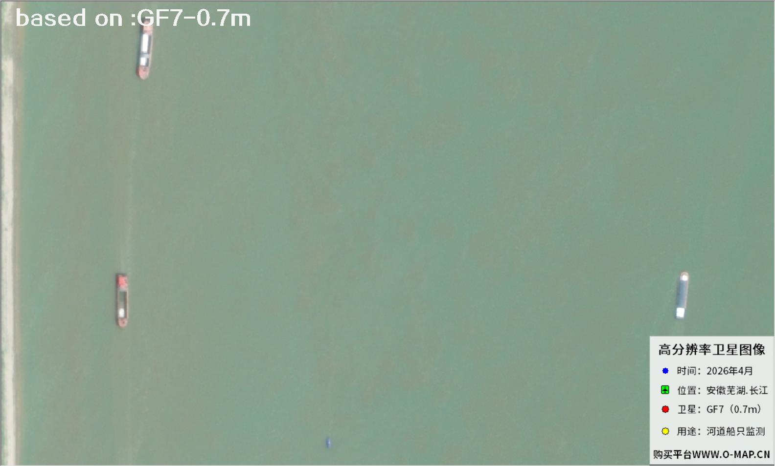
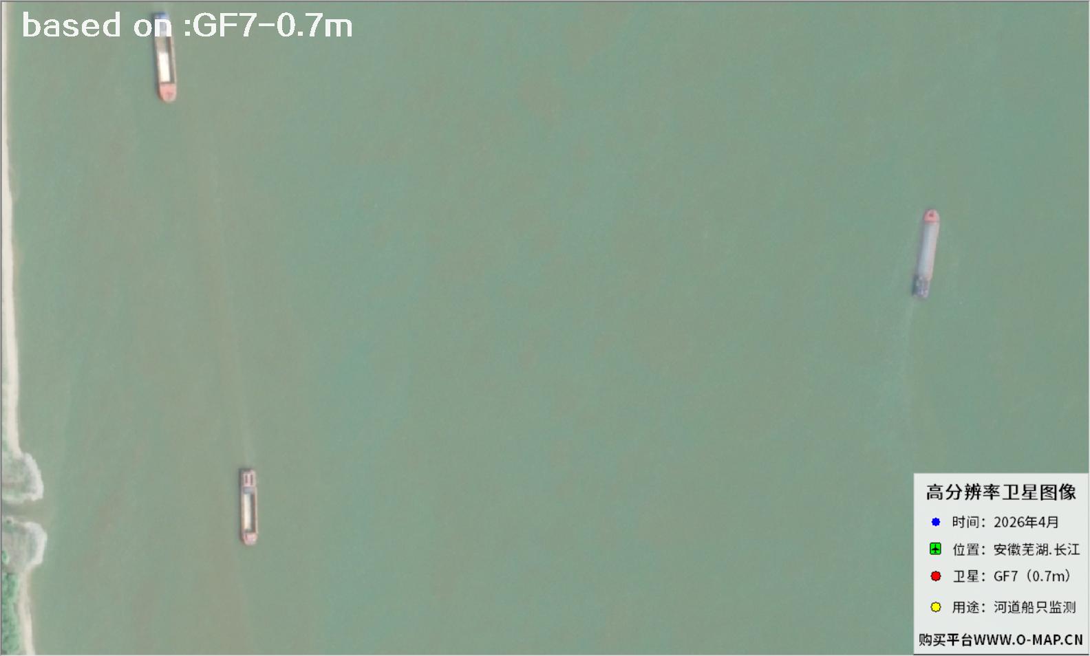
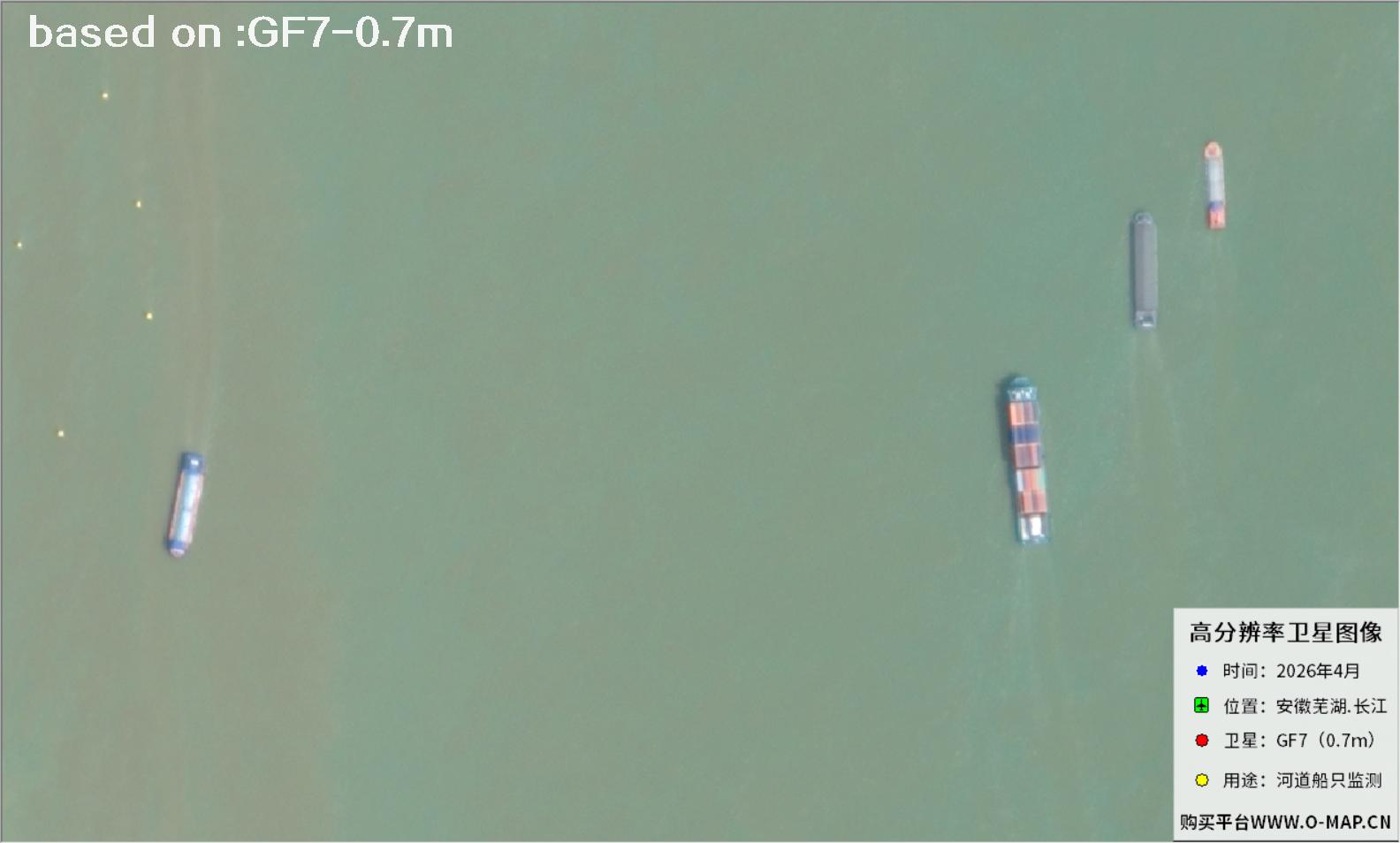
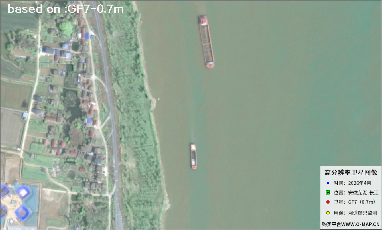
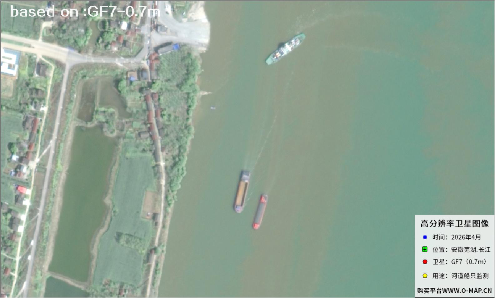
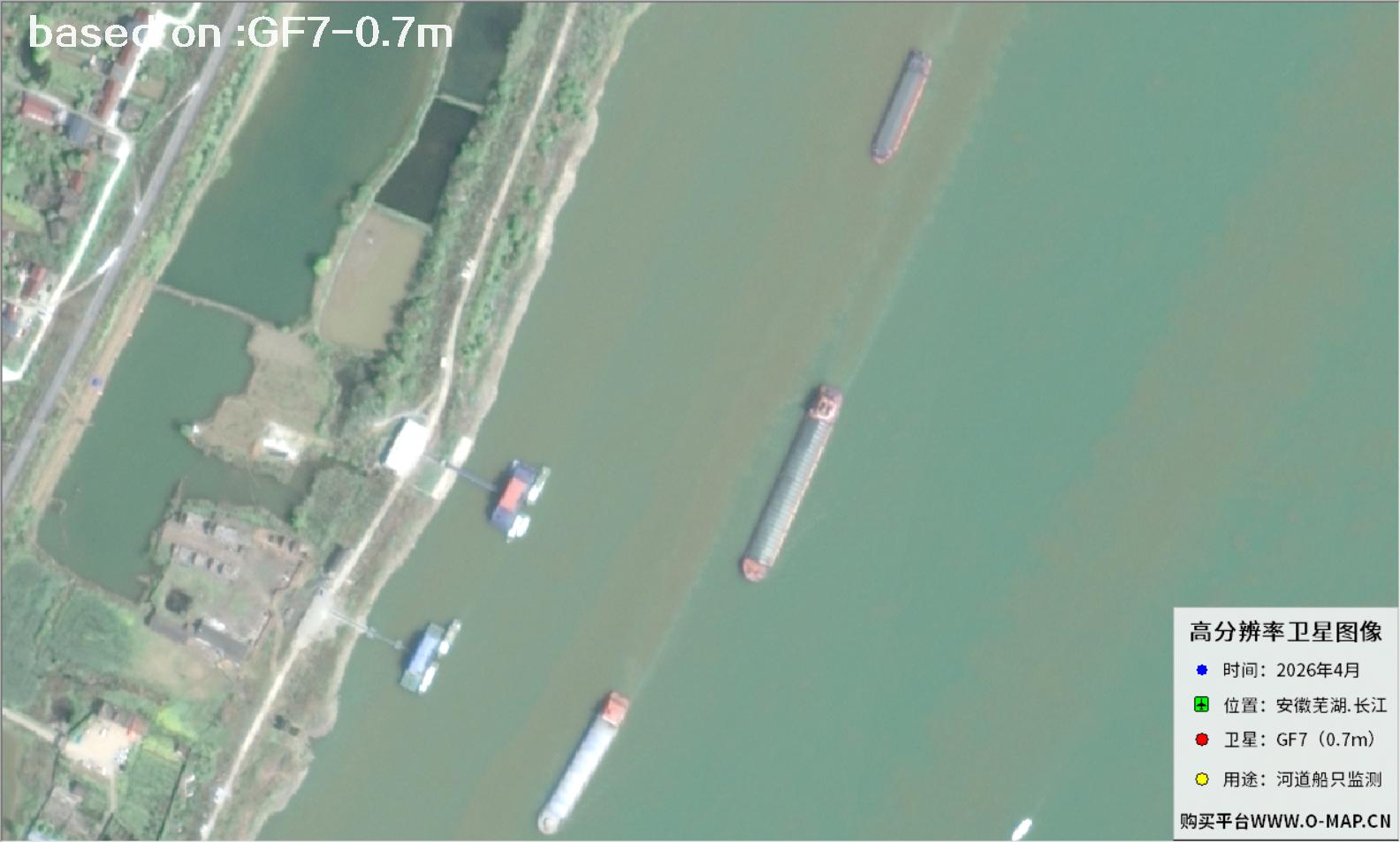
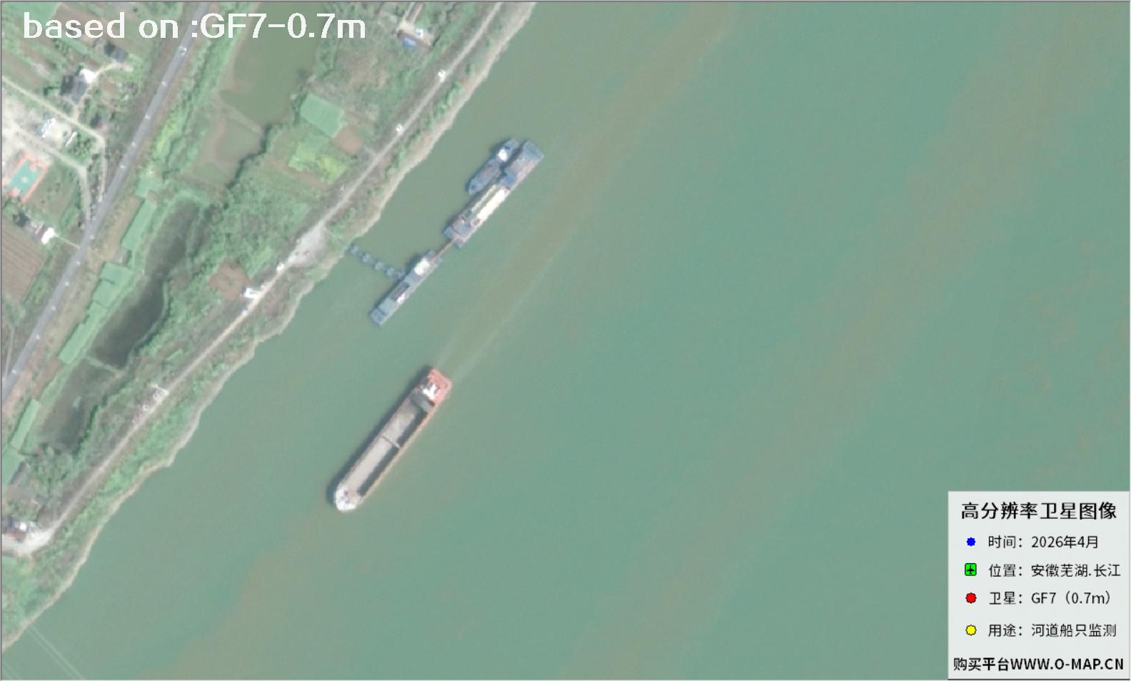
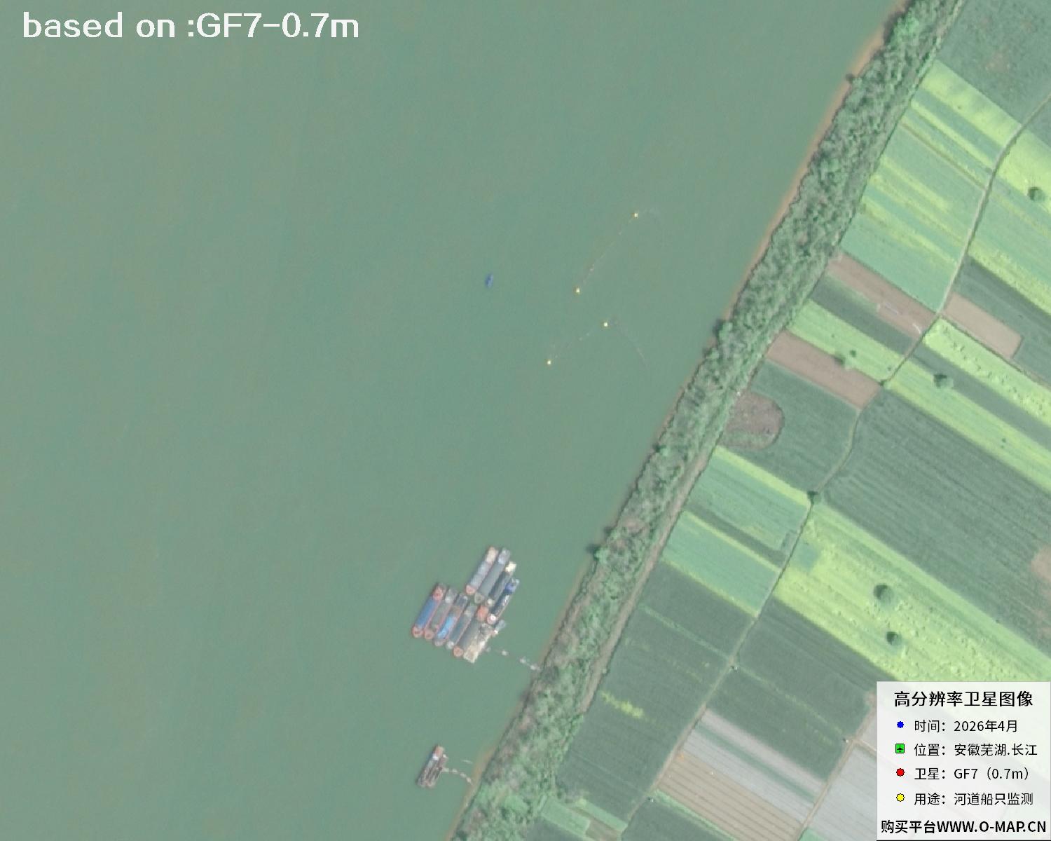
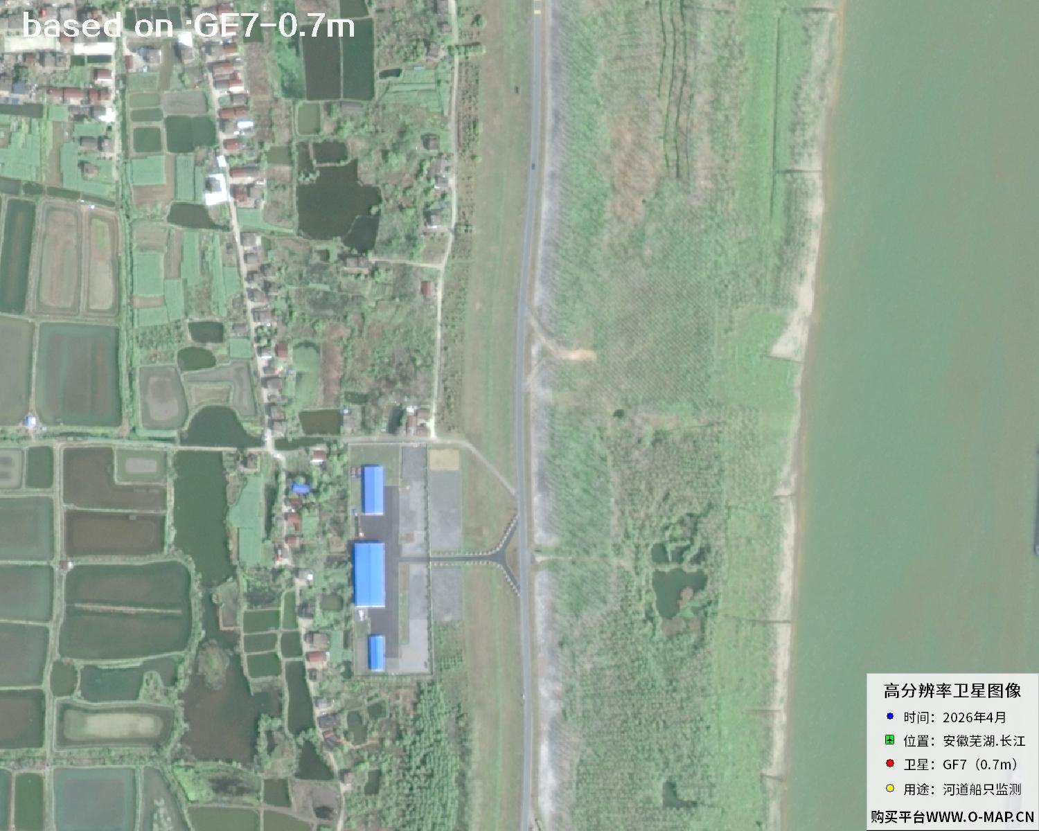
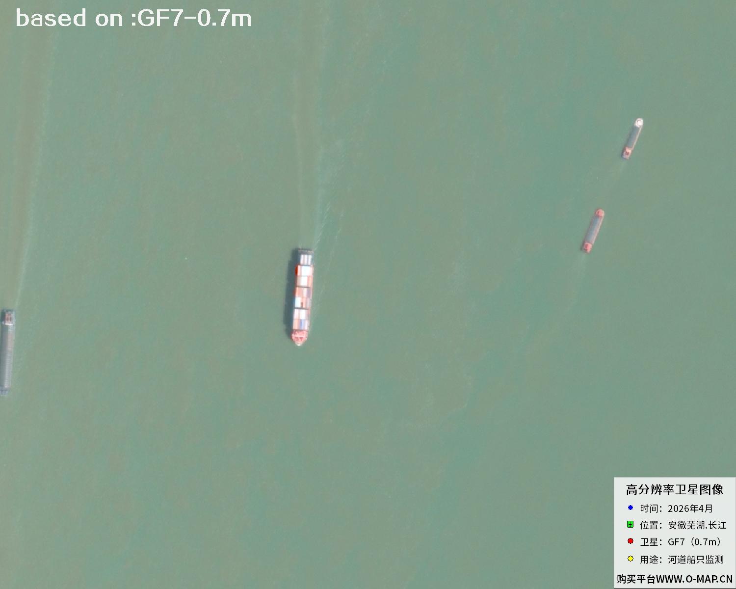
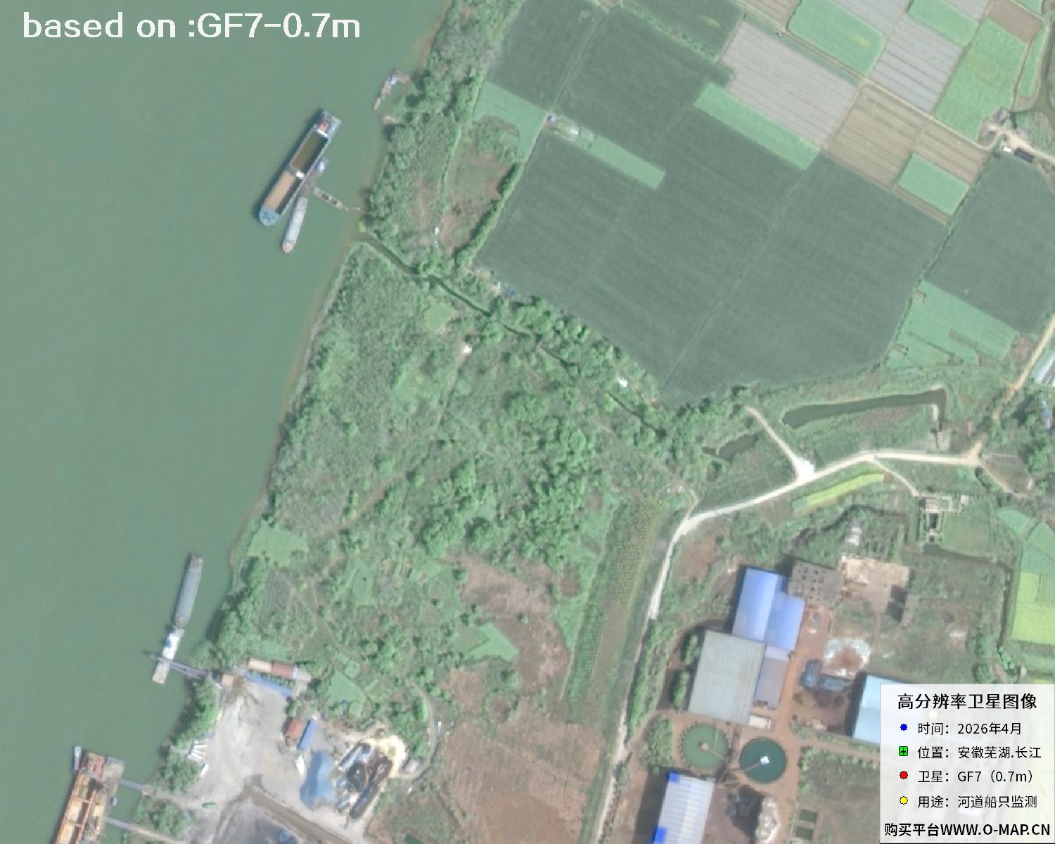
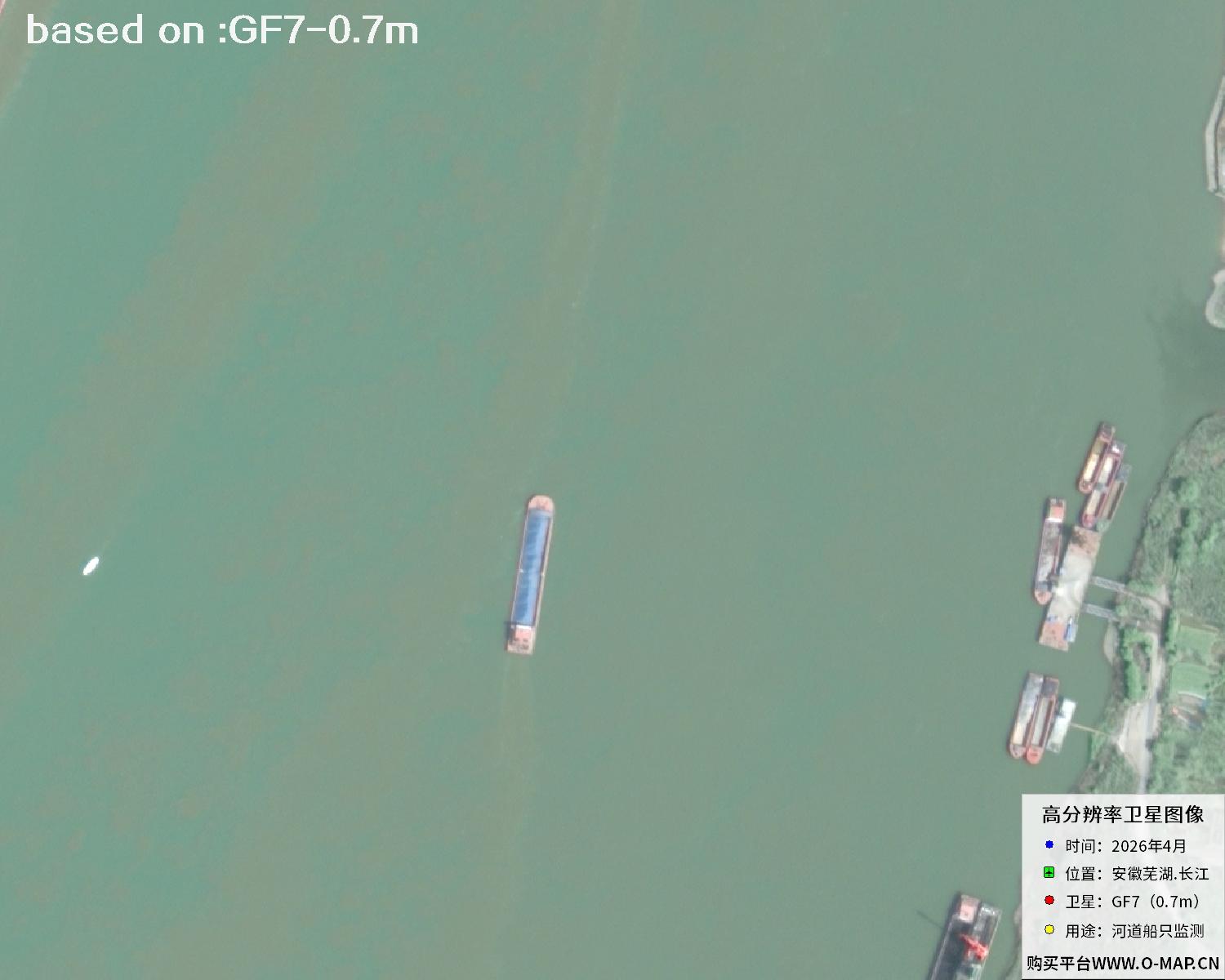
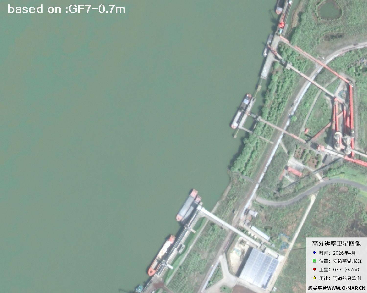
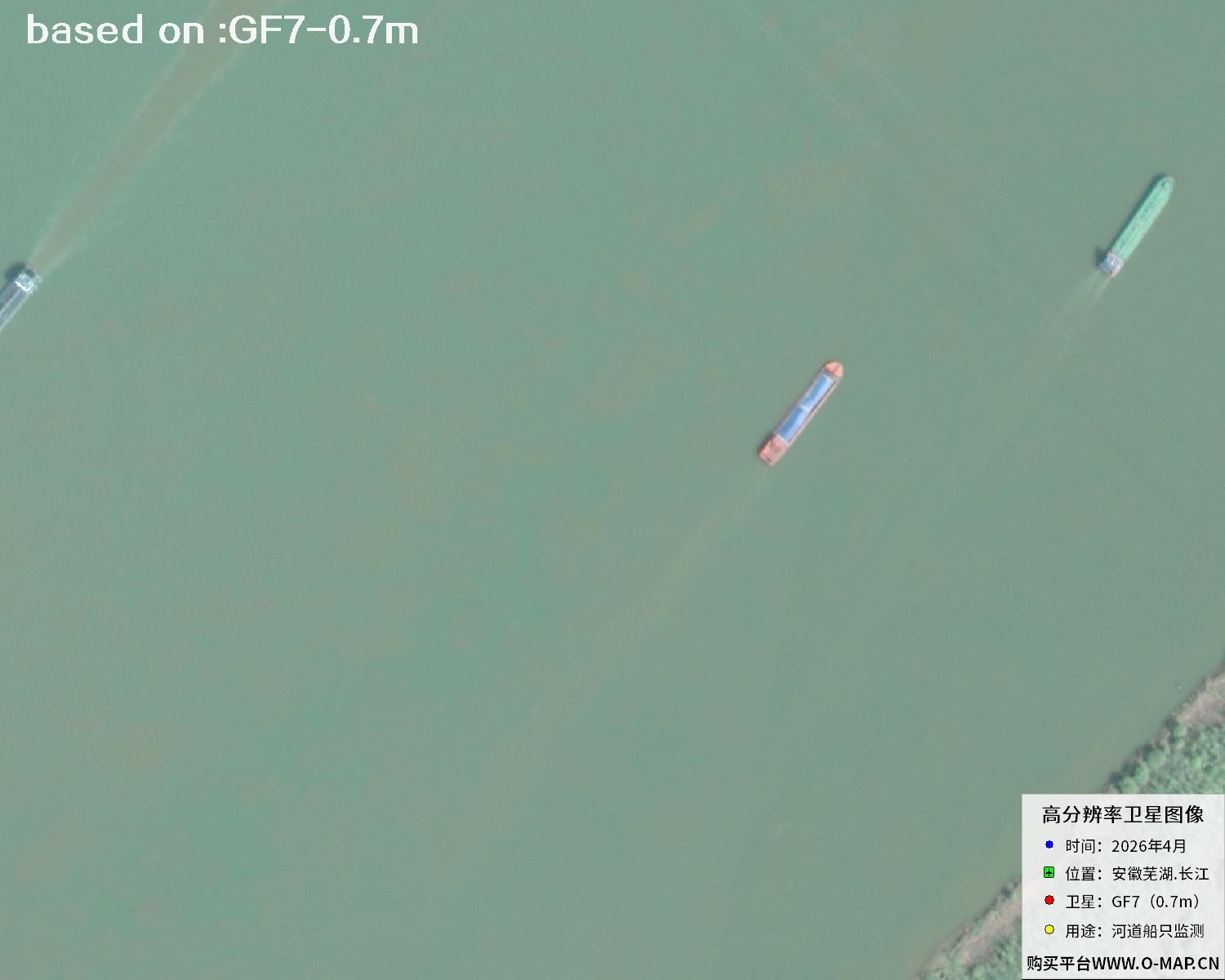
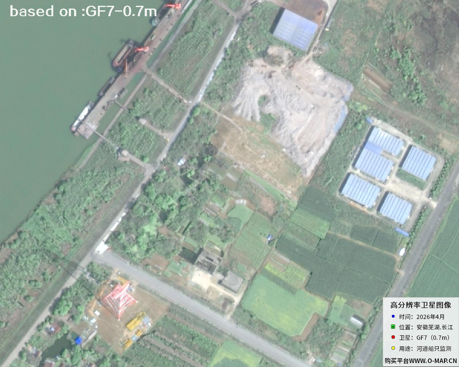
The images below are 0.7m resolution satellite images of ships in the Wuhu section of the Yangtze River, taken by the GF7 satellite in April 2026. Hull outlines, wake trails and berth distribution are clearly recognisable, so the images can be used to look at vessel type composition, queuing and berthing conditions - excellent material for studying the operating state of inland river shipping.
Gaofen-7 (GF-7) is a high resolution stereo mapping satellite independently developed by China, and the first sub-meter stereo mapping satellite in the High Resolution Earth Observation program. It carries a dual linear array stereo camera together with a laser altimeter, so it can acquire high precision stereo imagery and elevation information at the same time. Besides capturing clear pictures of targets such as ships, it can also generate digital surface models and 3D terrain products. GF7 offers sub-meter panchromatic resolution and can precisely present hull outlines, wharf structures and wake trails. For a channel as busy and fast changing as the Yangtze, a single pass can cover a long stretch of river. With a short revisit cycle and agile attitude manoeuvring, the satellite is especially suited to routine observation of water traffic monitoring, shipping flow statistics, shoreline change tracking and port and channel engineering.
| Satellite | Gaofen-7 / GF-7 |
|---|---|
| 🌟 Resolution (Key) | 0.7m panchromatic (sub-meter) / 2.6m multispectralCore Advantage |
| 🚀 Launch Date (Key) | 3 November 2019 · Taiyuan Satellite Launch CenterLong March 4B |
| Payload | Dual linear array stereo camera + laser altimeter |
| Swath Width | About 20 km (single scene) |
| Orbit Type | Sun-synchronous orbit |
| Applications | Stereo mapping, shipping monitoring, ship and shoreline detection |
📷Yangtze River Ships GF7 Satellite Image Total: 48 images 🛰️
 Sample⛶
 Sample⛶
 Sample⛶
 Sample⛶
 Sample⛶
 Sample⛶
 Sample⛶
 Sample⛶
 Sample⛶
 Sample⛶
 Sample⛶
 Sample⛶
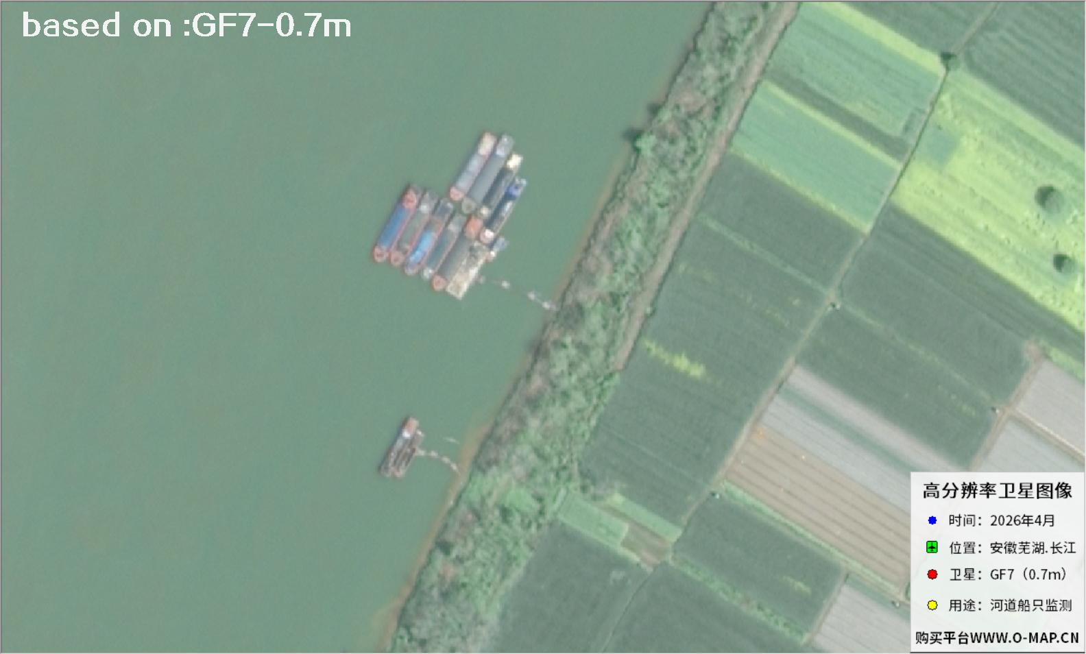 Sample⛶
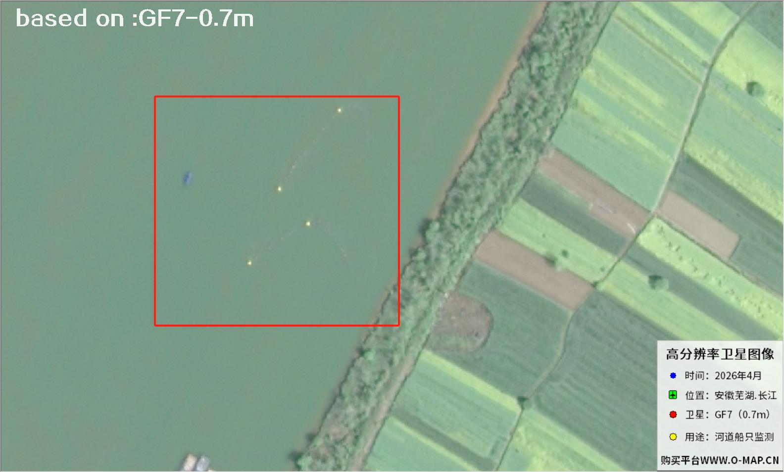 Sample⛶
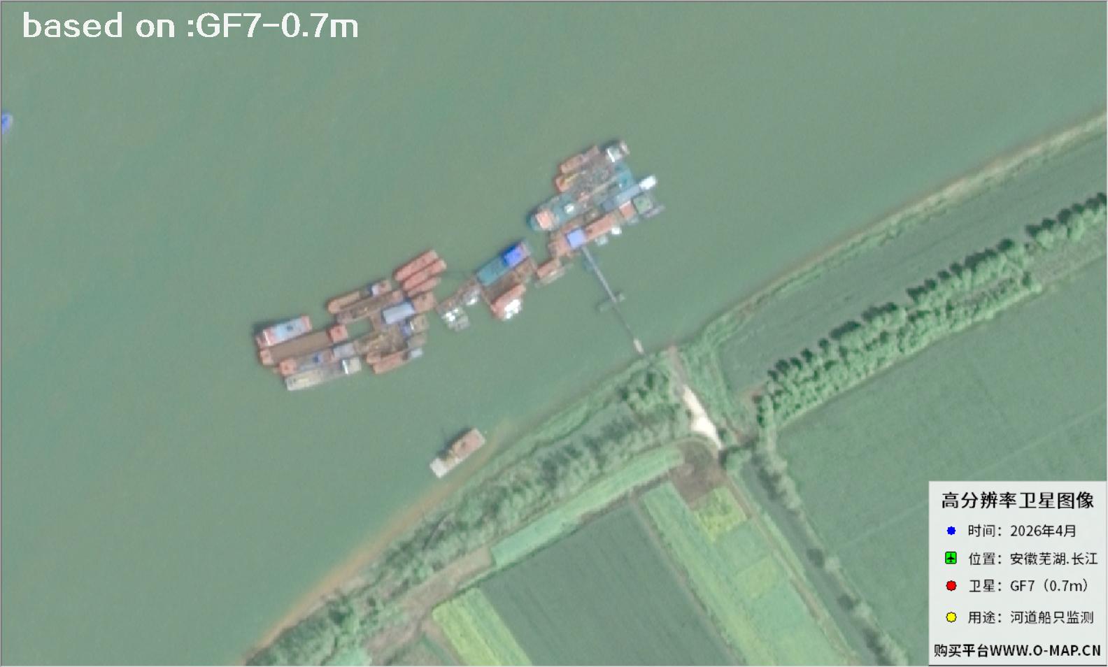 Sample⛶
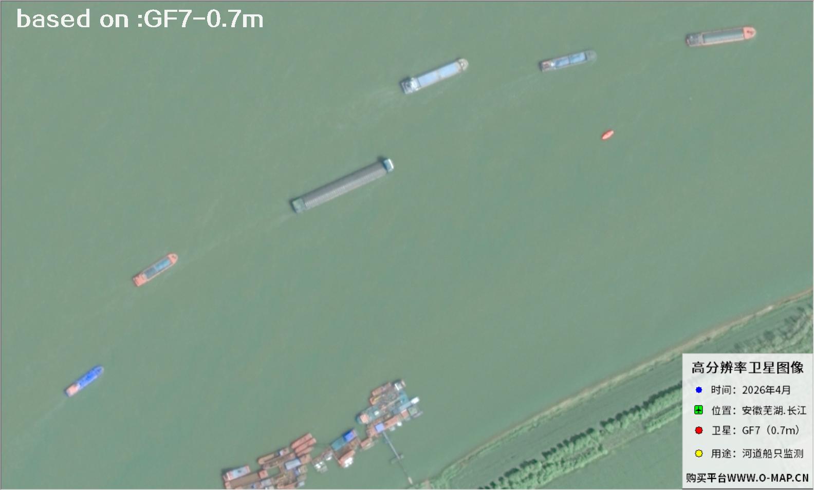 Sample⛶
 Sample⛶
 Sample⛶
 Sample⛶
 Sample⛶
 Sample⛶
 Sample⛶
 Sample⛶
 Sample⛶
 Sample⛶
 Sample⛶
 Sample⛶
 Sample⛶
 Sample⛶
 Sample⛶
 Sample⛶
 Sample⛶
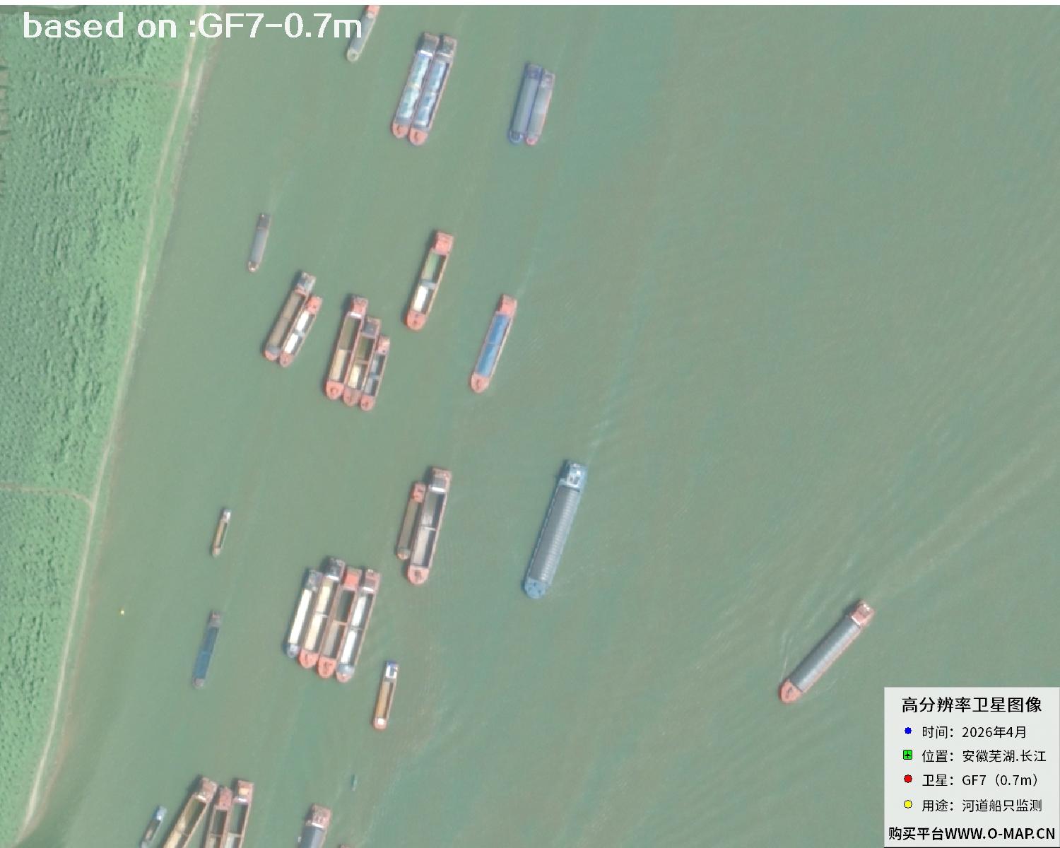 Sample⛶
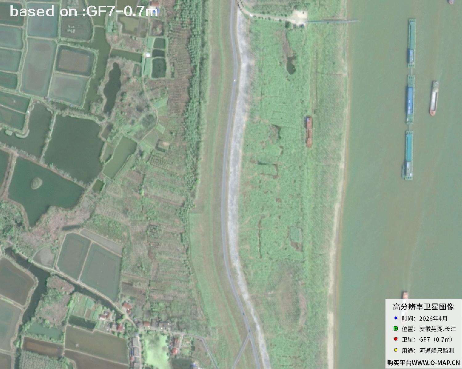 Sample⛶
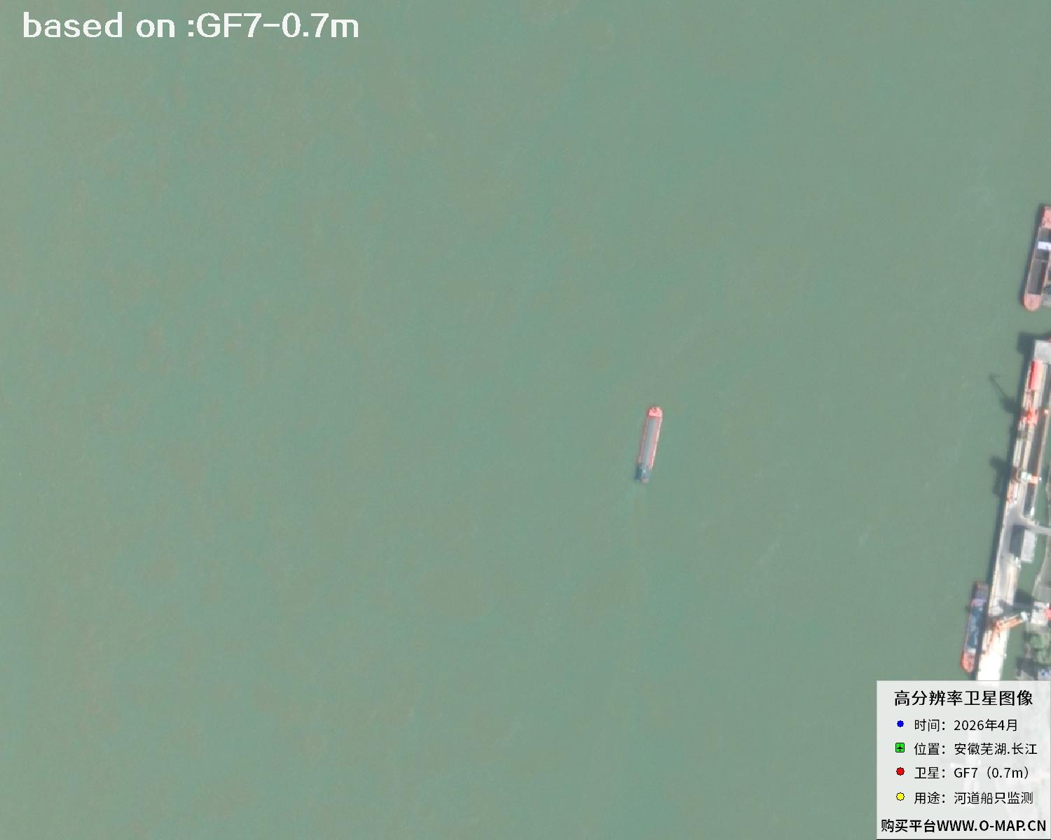 Sample⛶
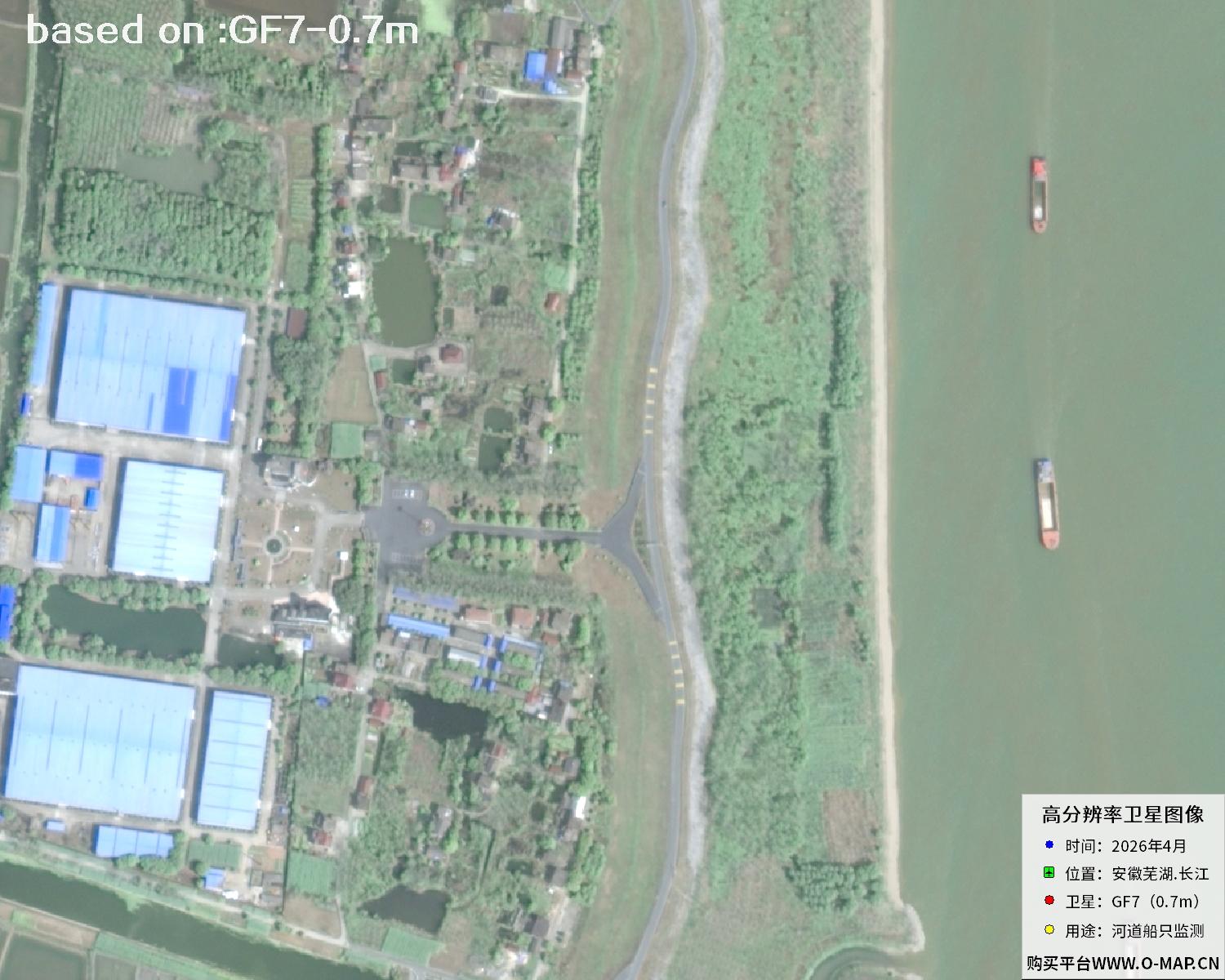 Sample⛶
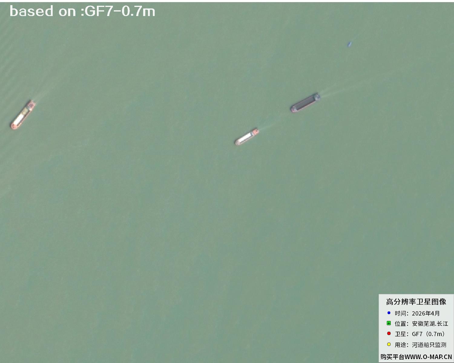 Sample⛶
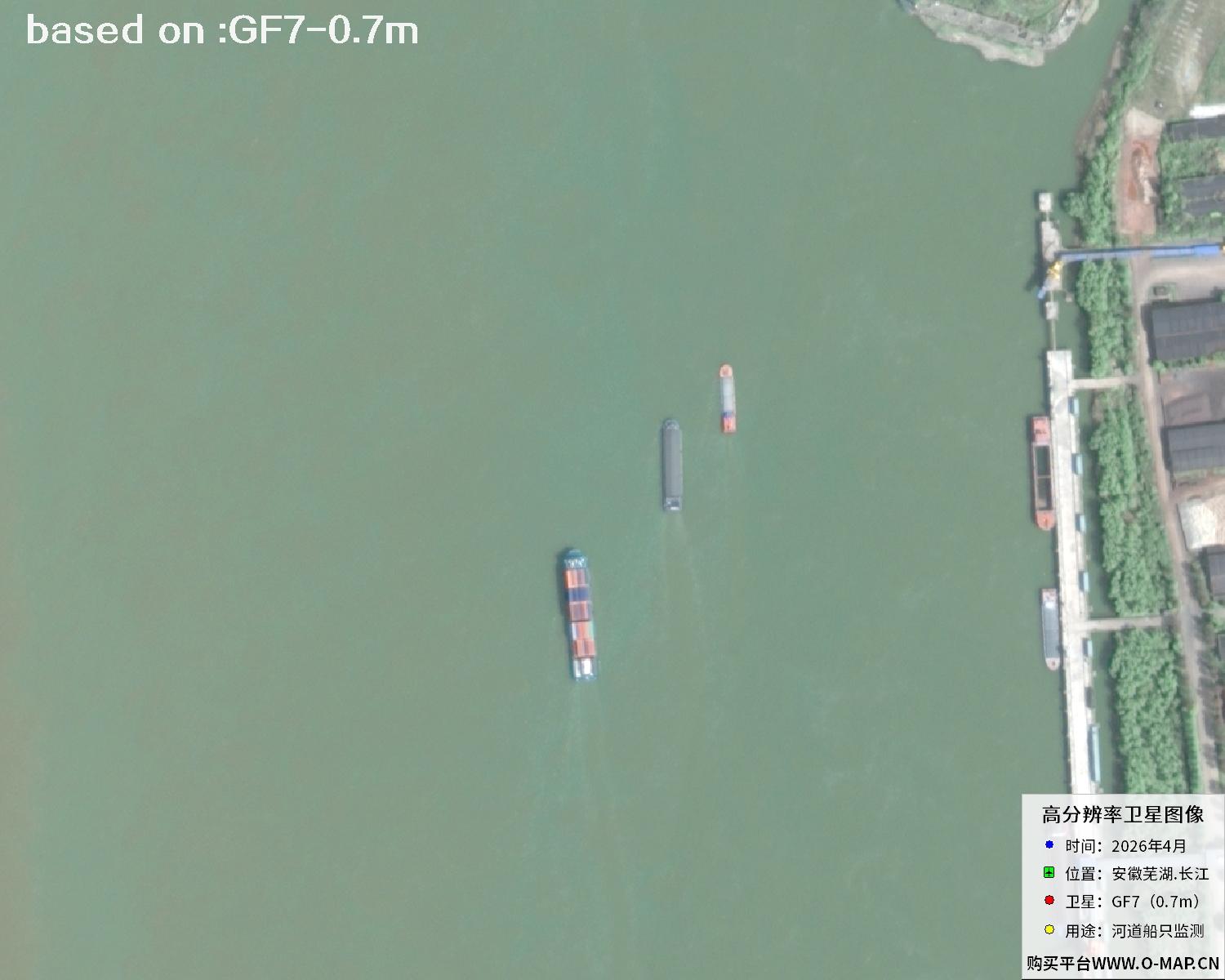 Sample⛶
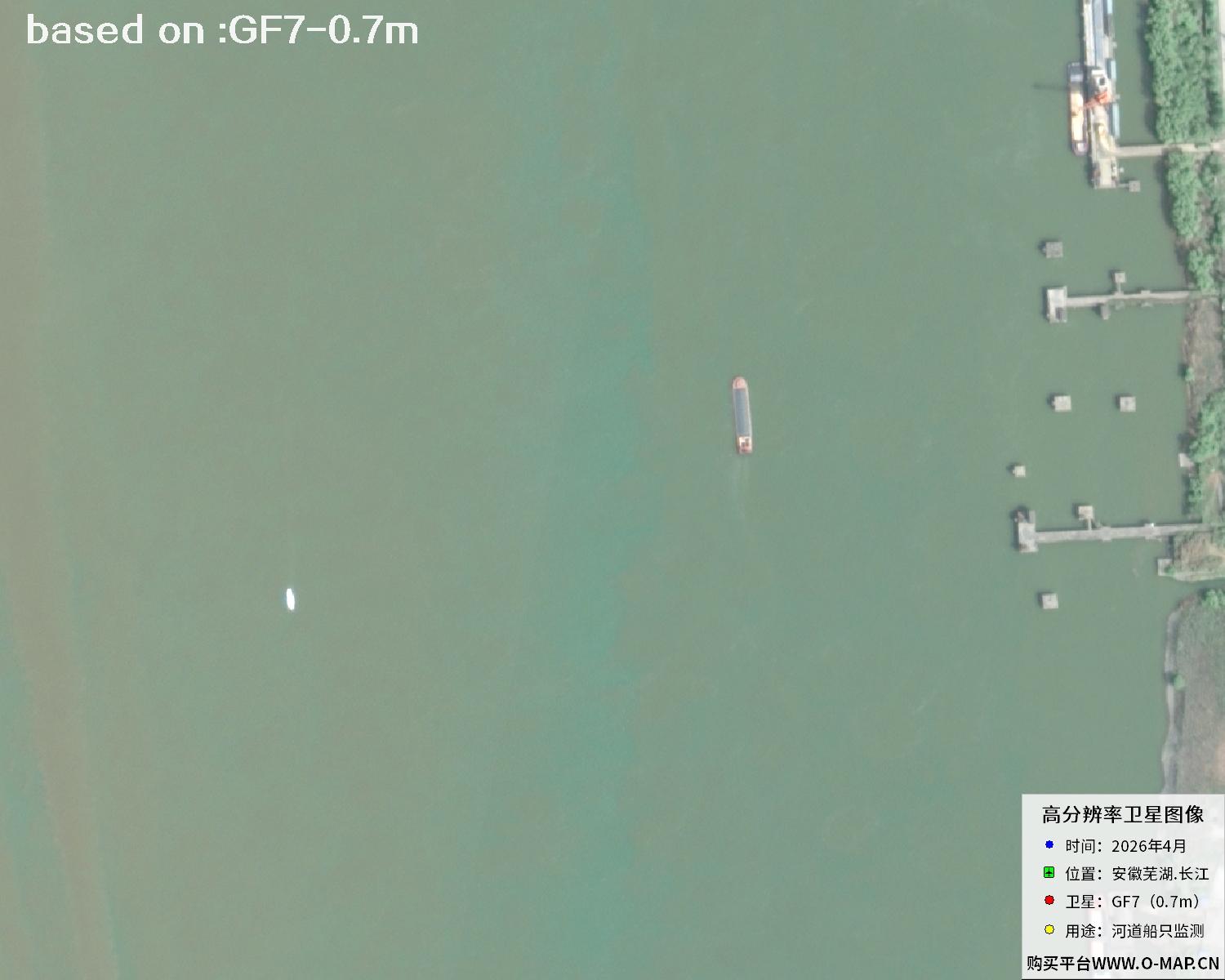 Sample⛶
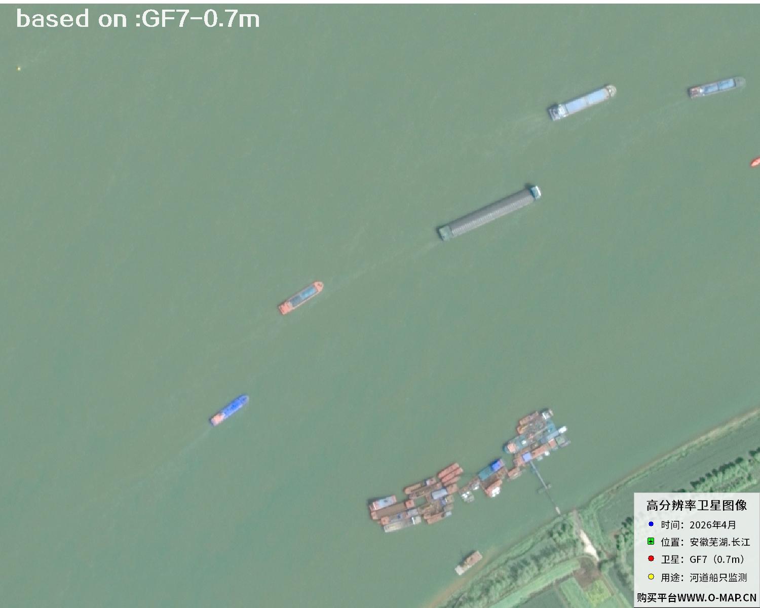 Sample⛶
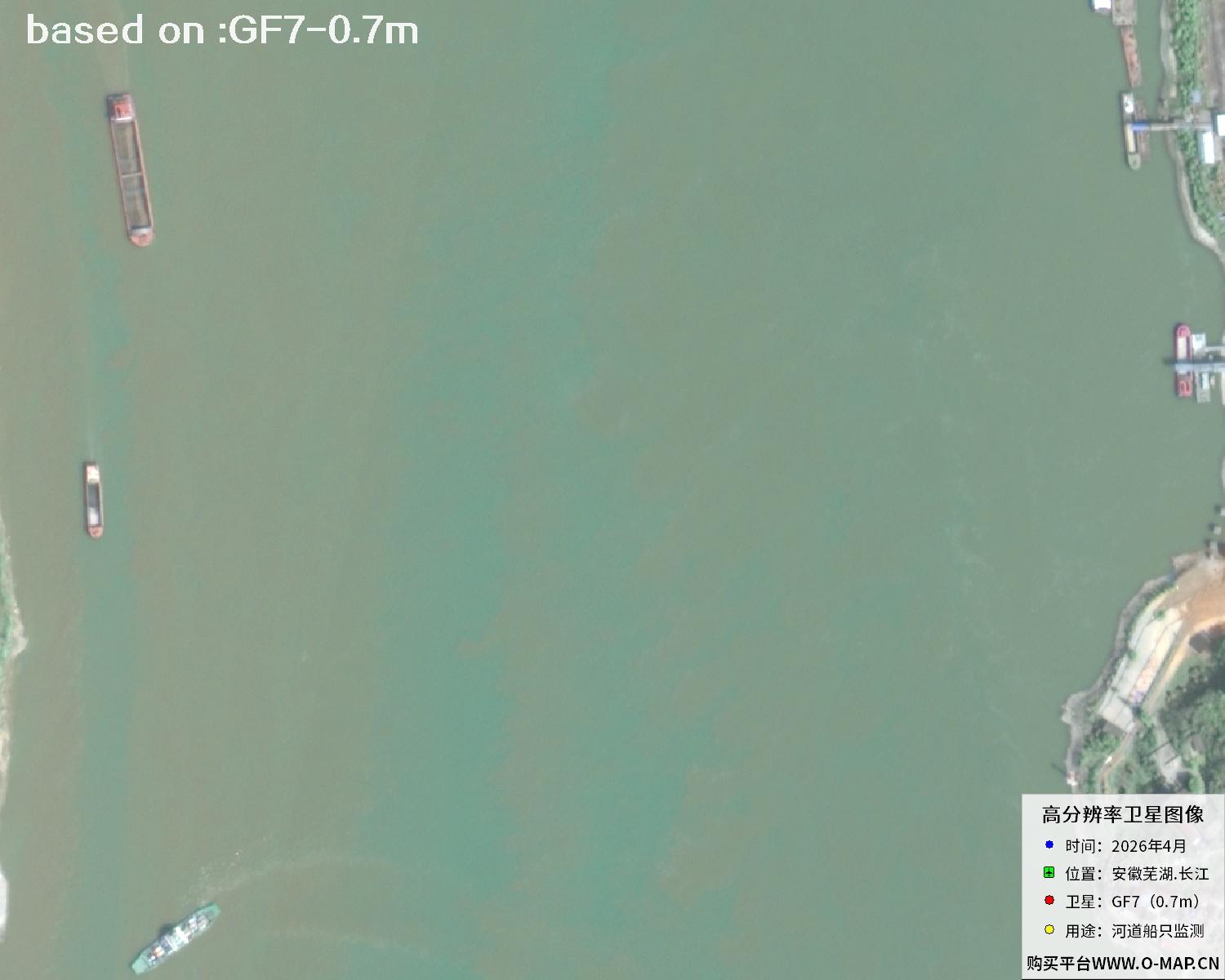 Sample⛶
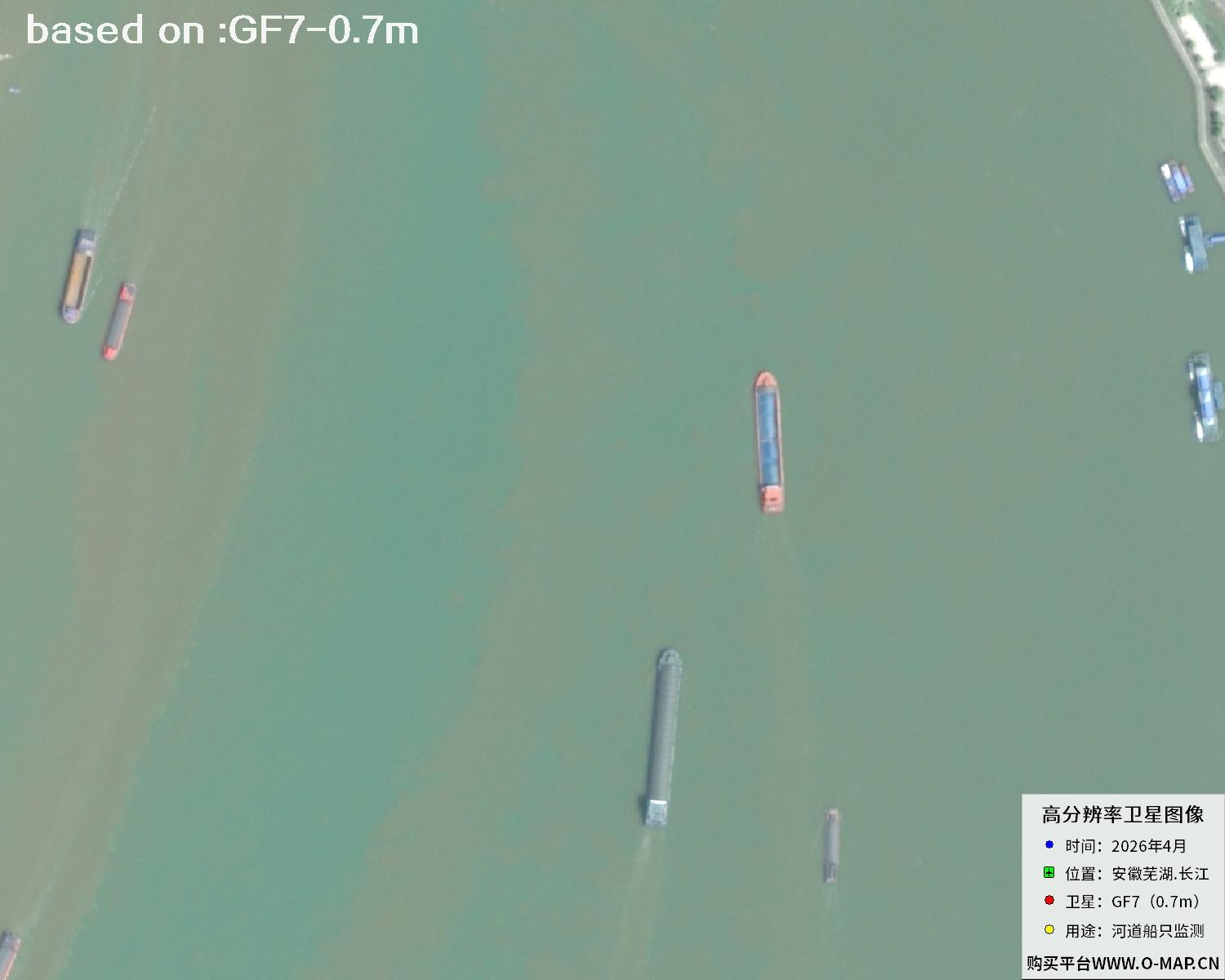 Sample⛶
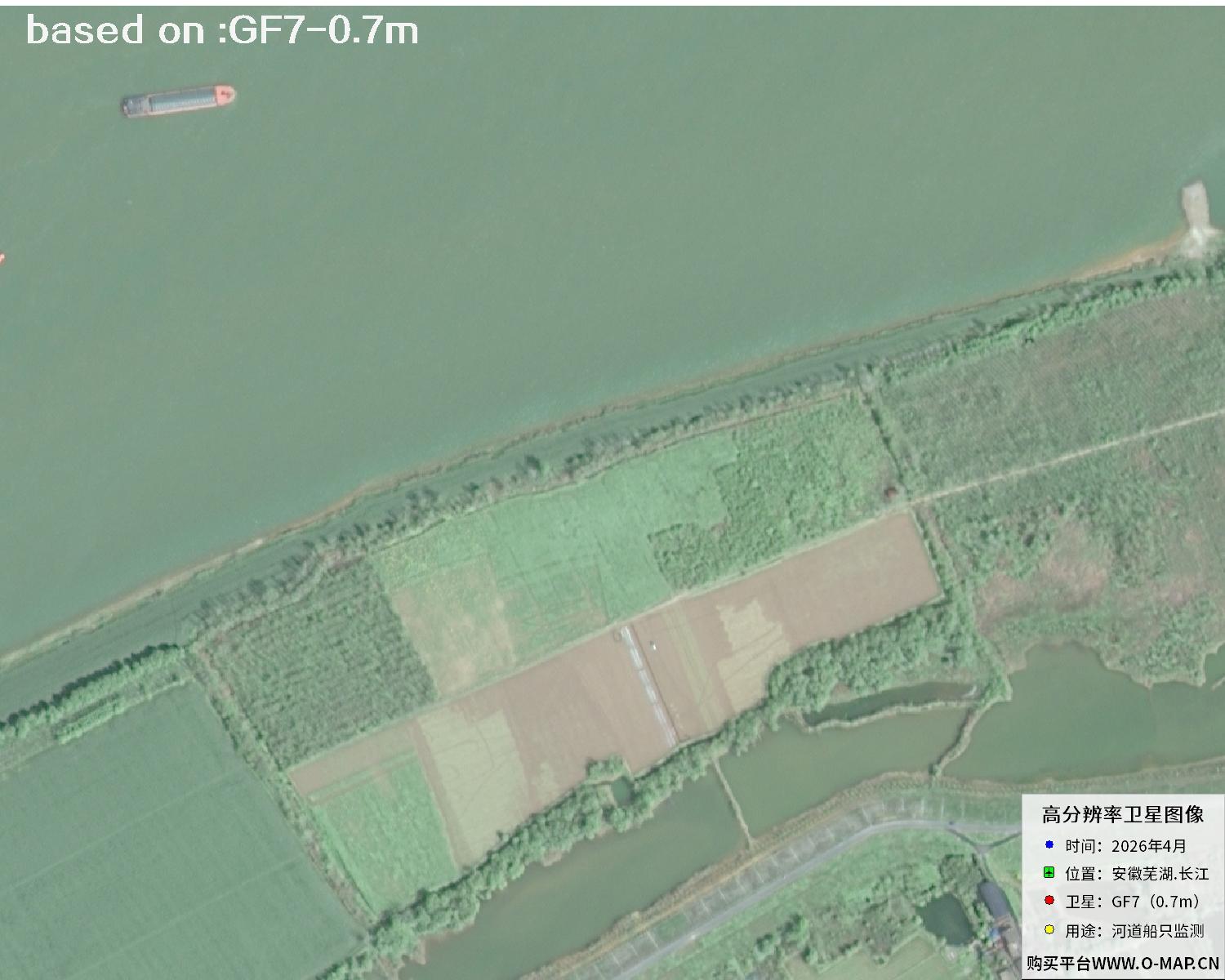 Sample⛶
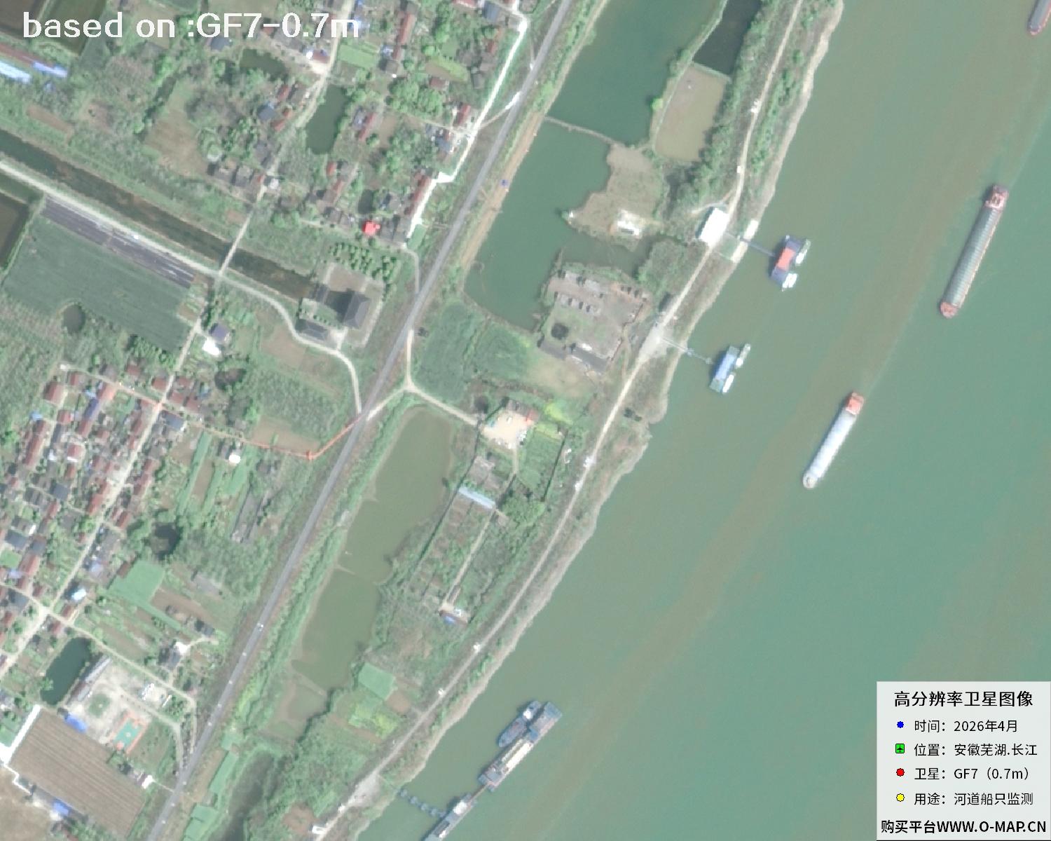 Sample⛶
 Sample⛶
 Sample⛶
 Sample⛶
 Sample⛶