🗺️Guangzhou 1980 Historical Satellite Image | Buy Keyhole Satellite Image | buy keyhole satellite image
Historical satellite imagery works like a time machine that can run backwards. It freezes the surface of the Earth from decades ago in film and pixels, so today we can still make out the old river network, field ridges, wharves and patches of housing exactly as they were. For a city that changes as fast as Guangzhou, 1980 imagery is especially precious: back then the banks of the Pearl River had no forest of high rises, city blocks and farmland were knitted together, and many waterways, villages and industrial zones that are gone today were still in place. Such imagery is widely used to study urban expansion, coastline and shoreline change, land use change detection, historical map correction, place name verification, and old town preservation and planning comparison. With it we can precisely answer "what used to be here", and give today's urban renewal a more reliable basis - which is exactly the irreplaceable value of historical remote sensing.
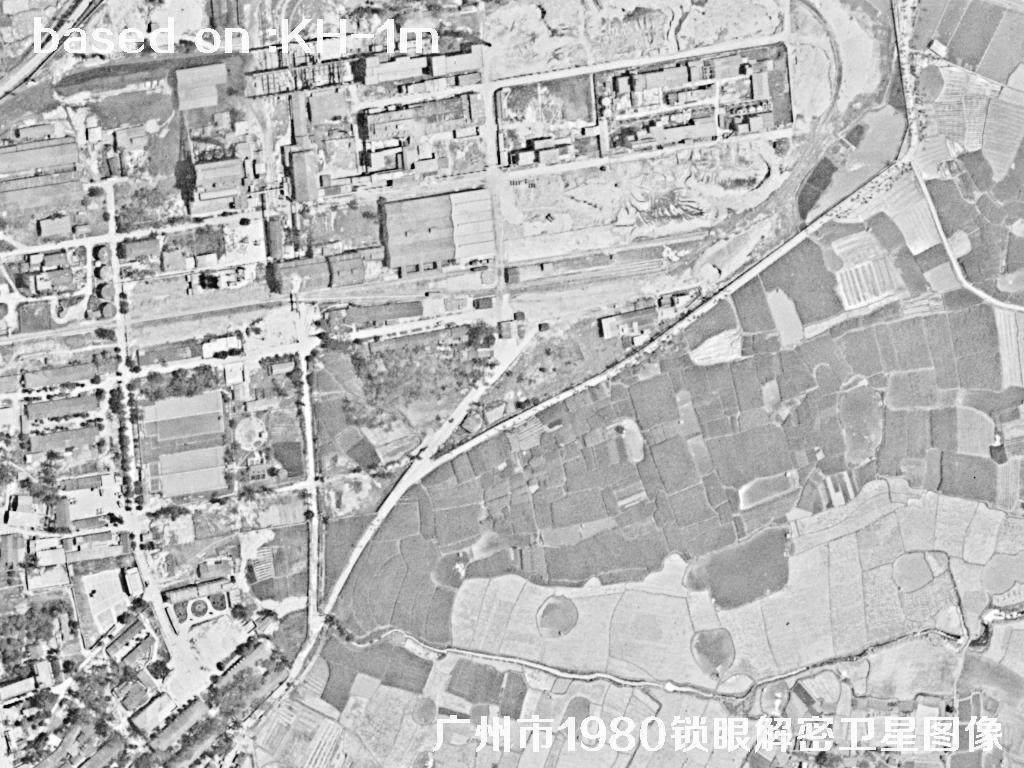
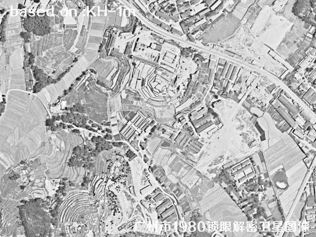
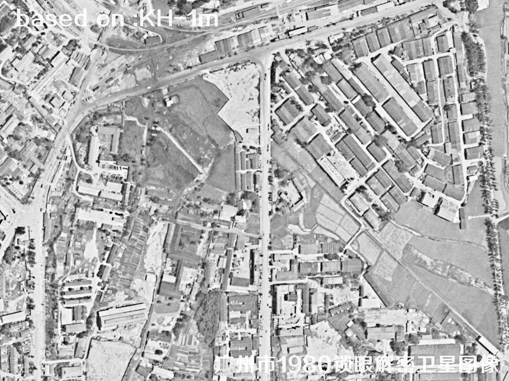
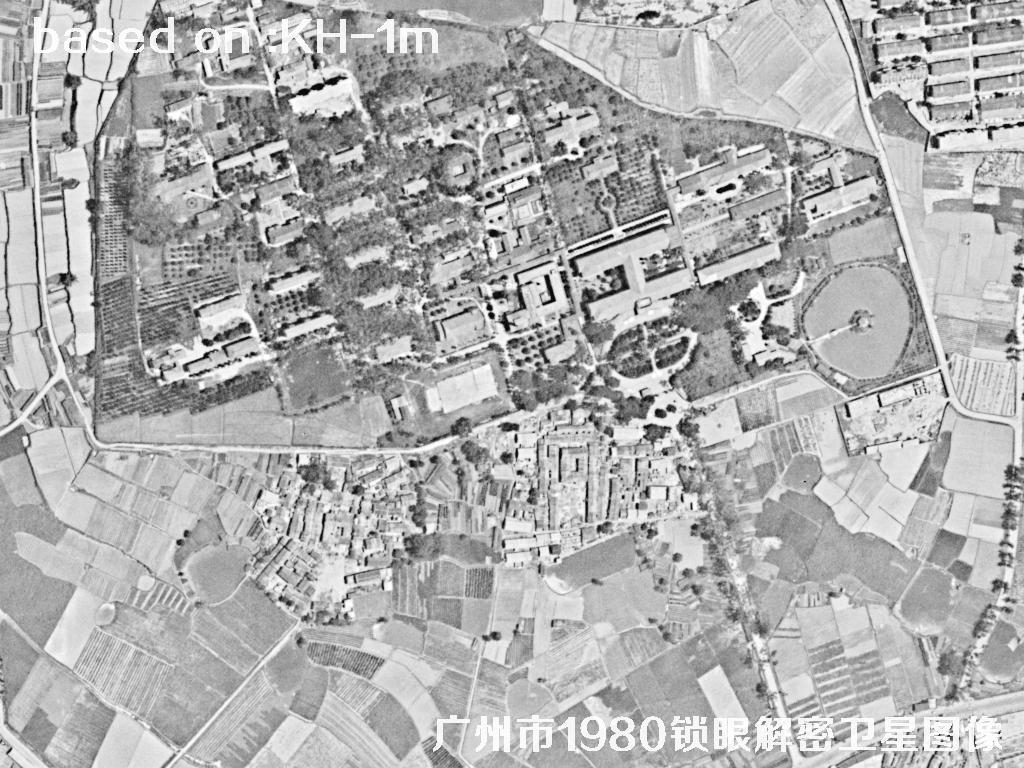
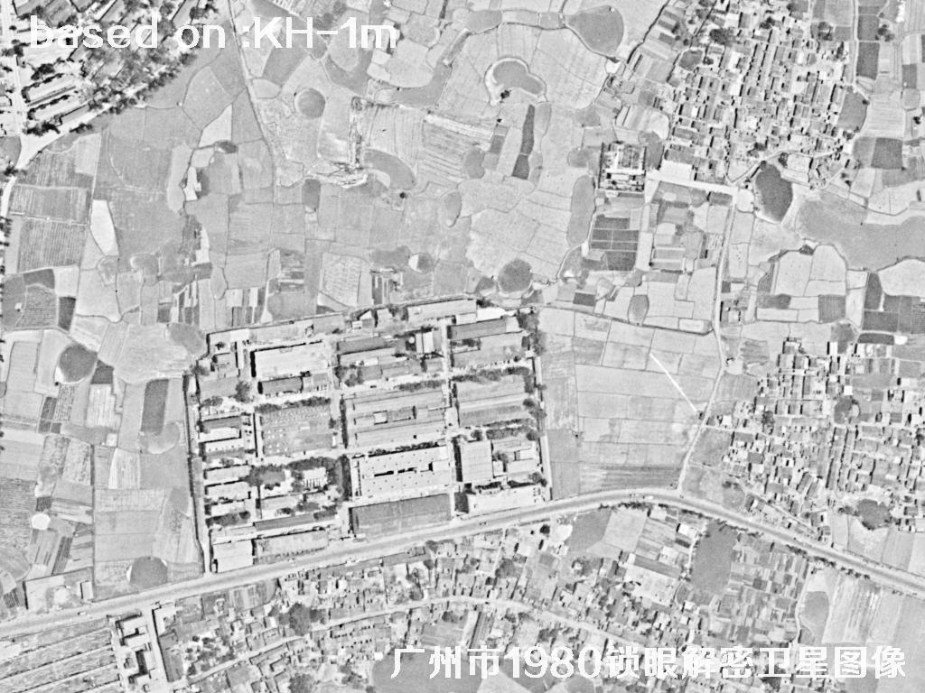
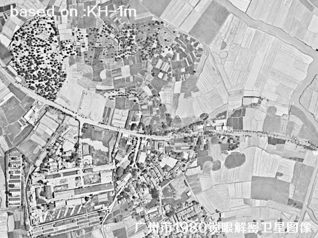
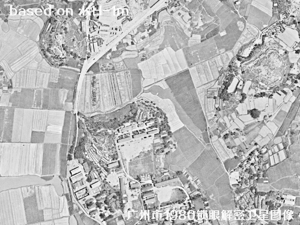
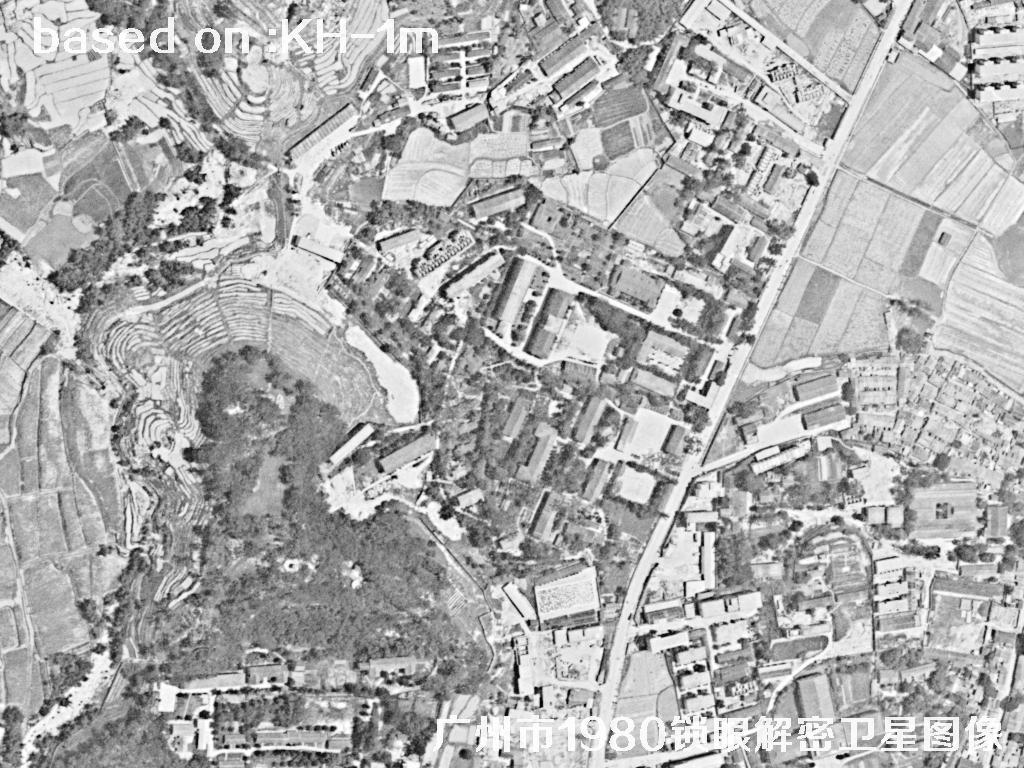
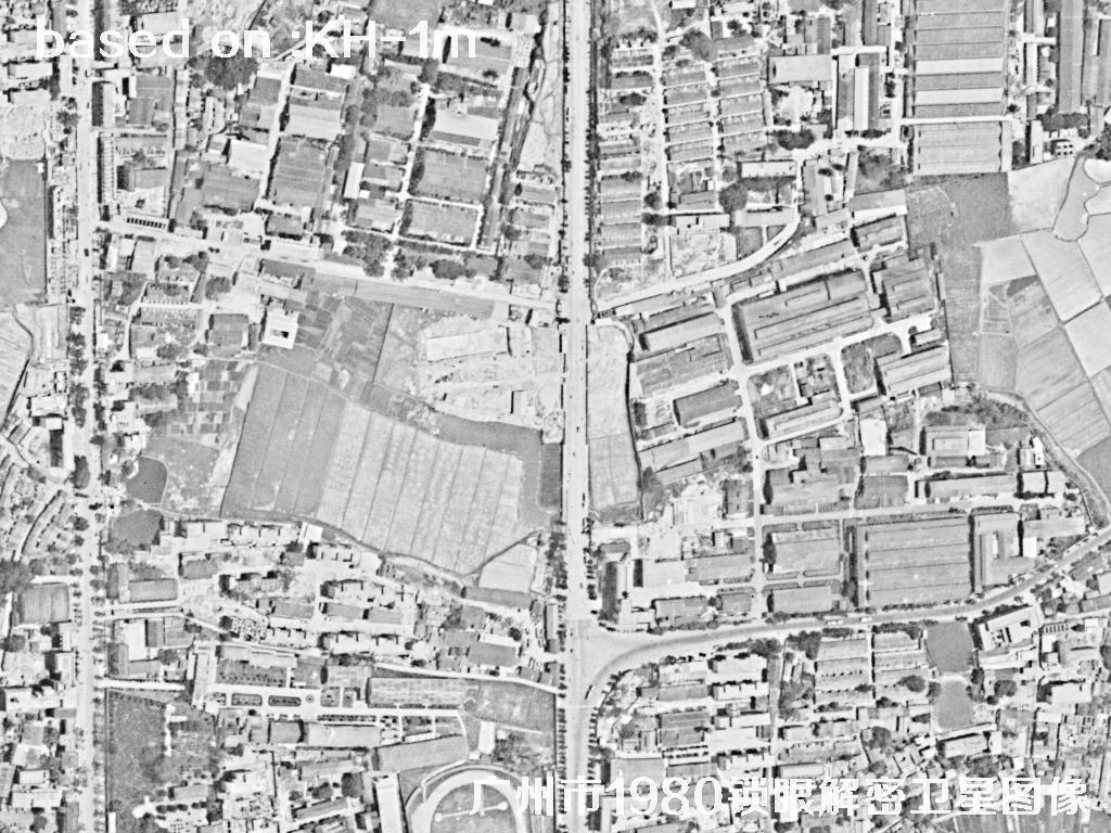
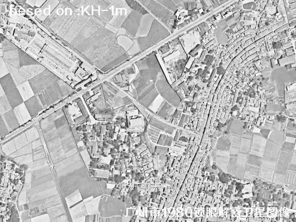
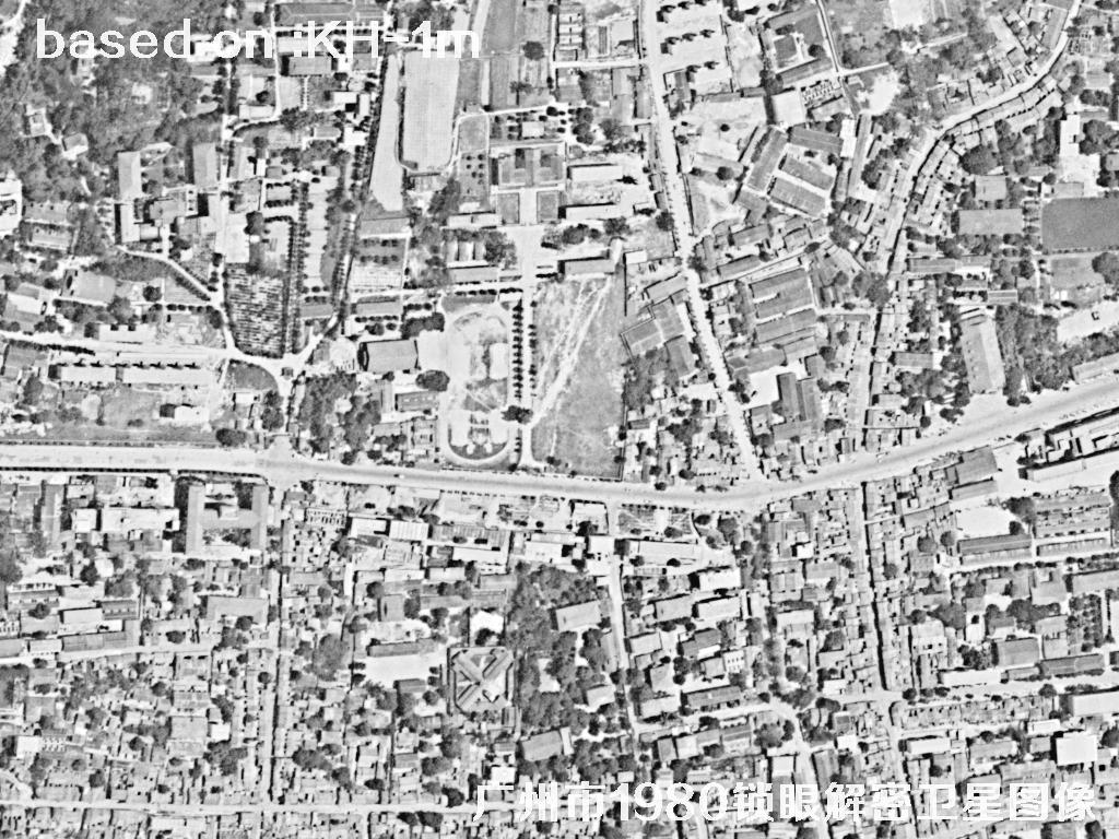
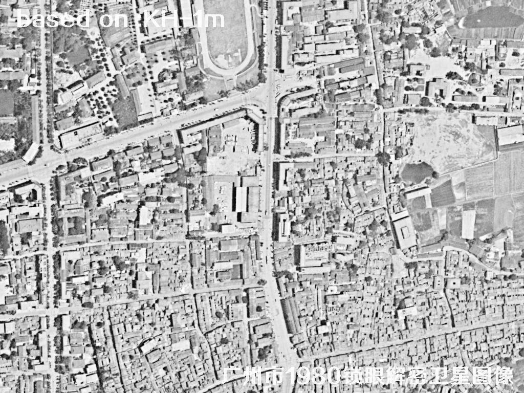
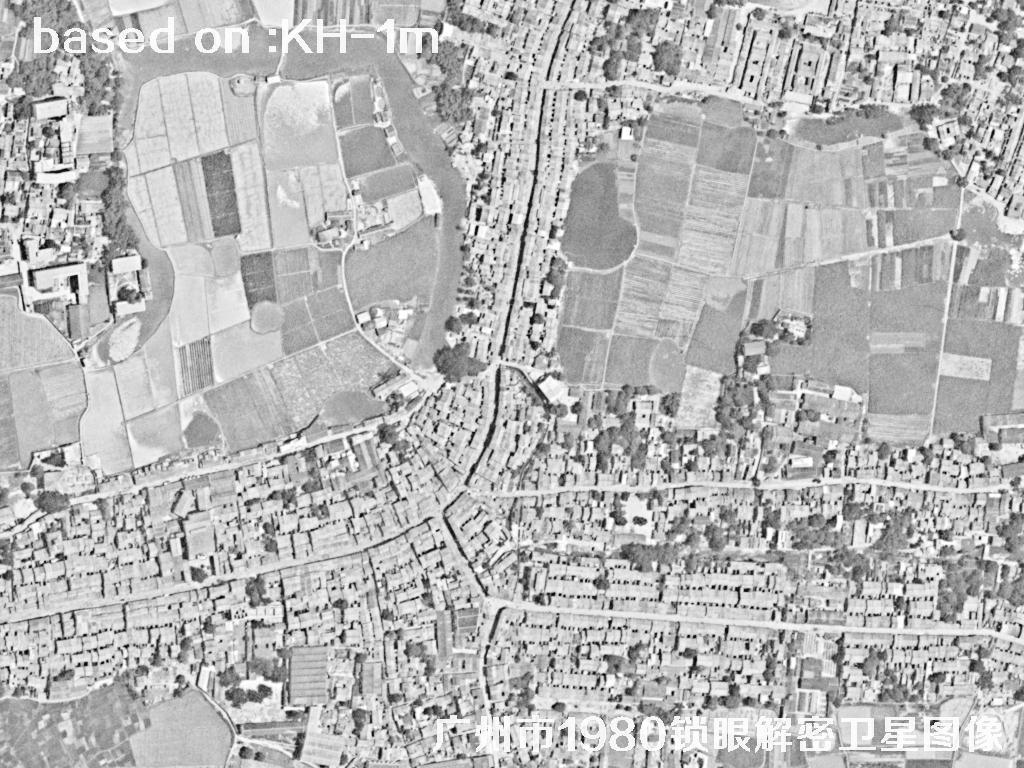
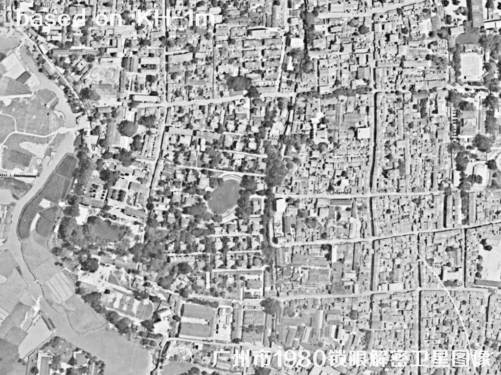
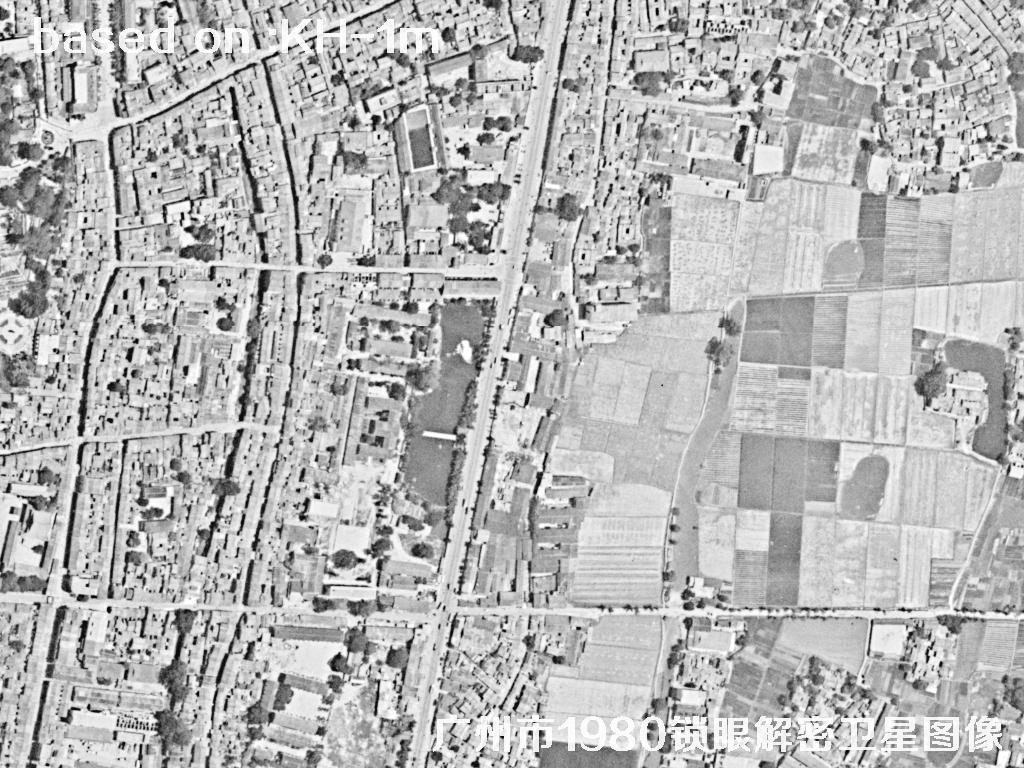
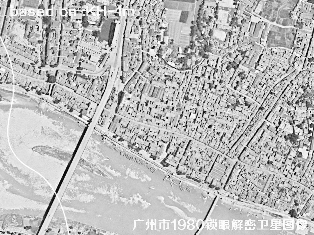
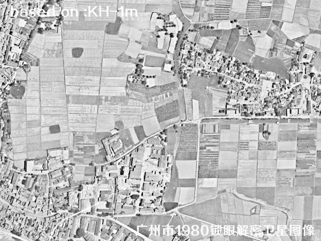
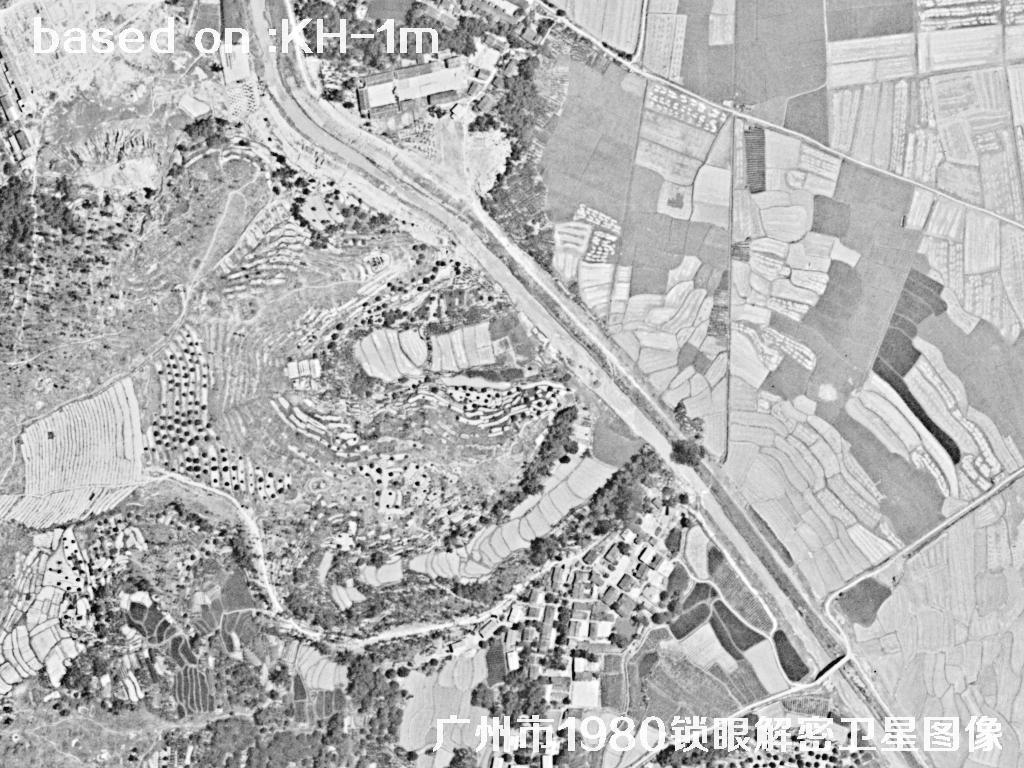
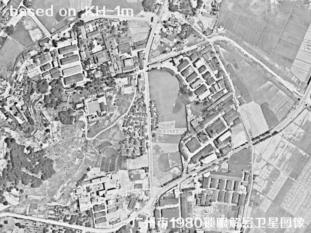
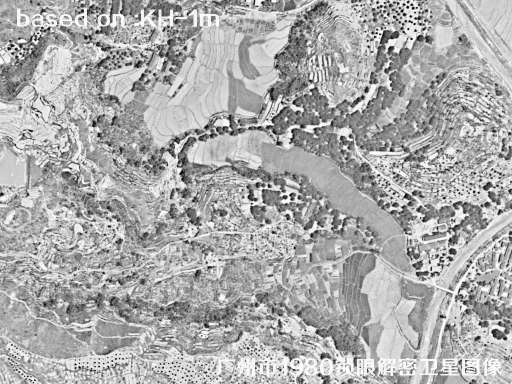
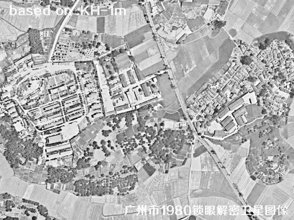
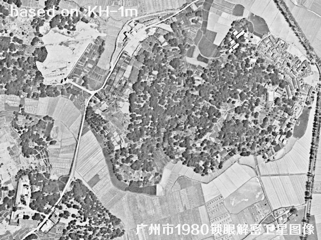
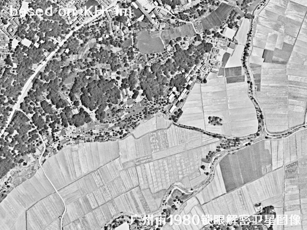
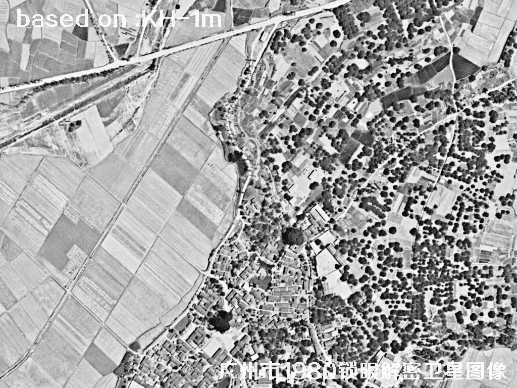
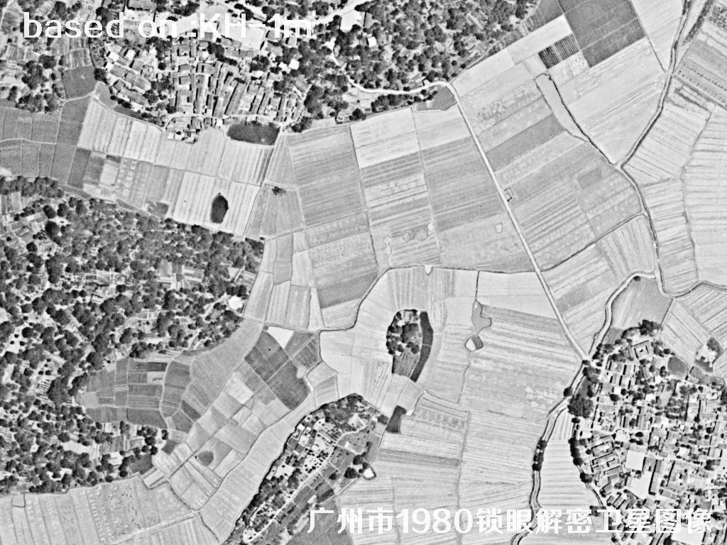
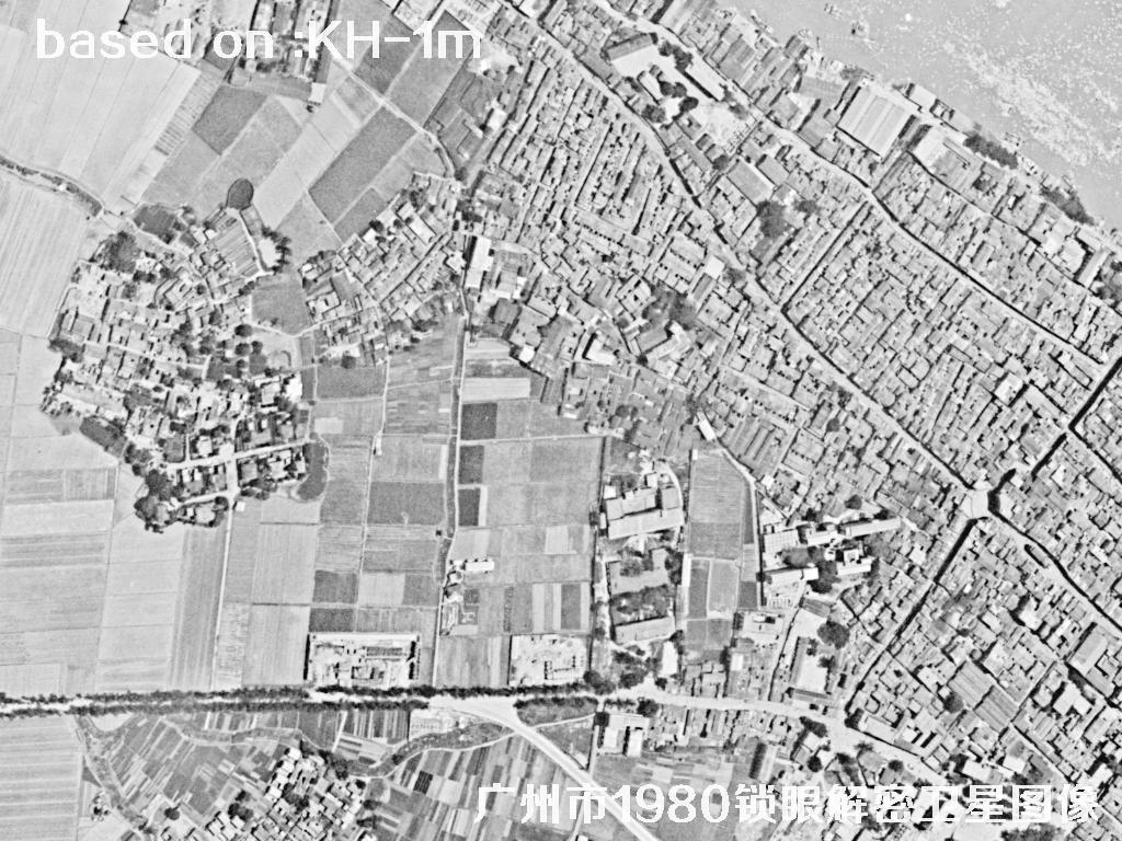
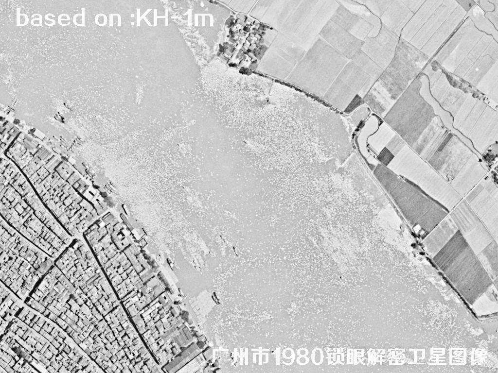
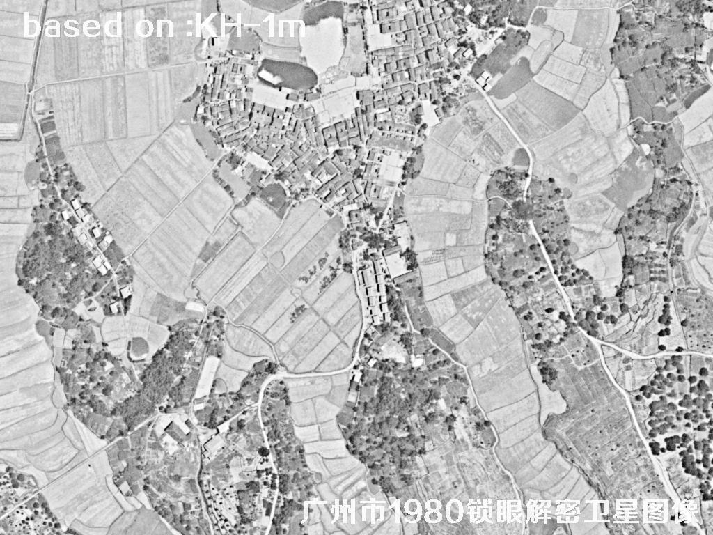
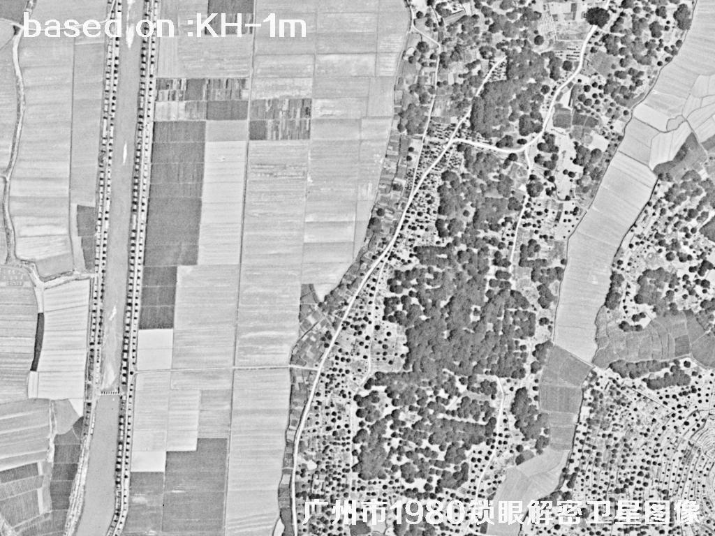
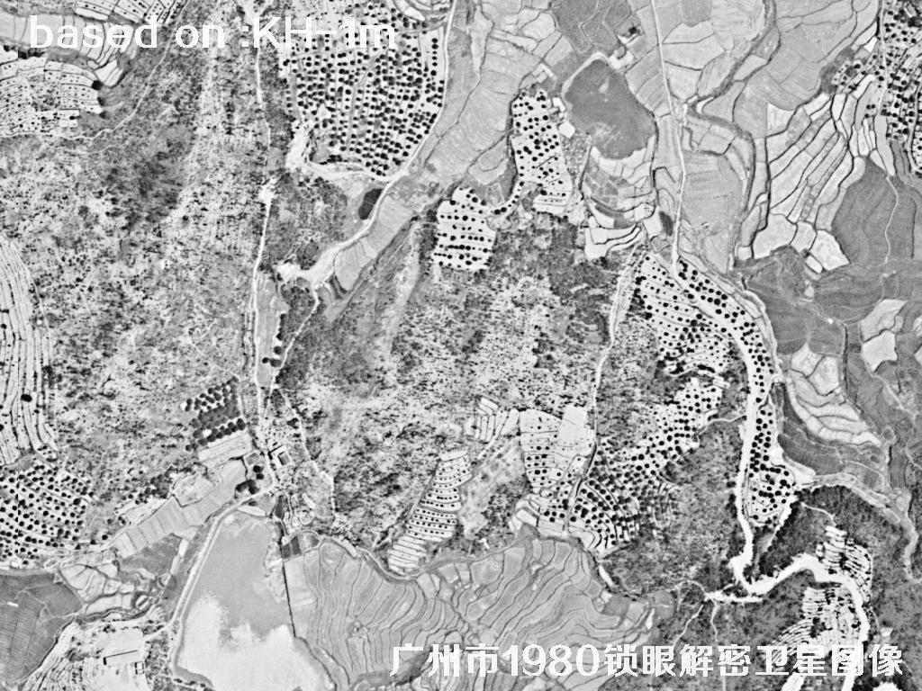
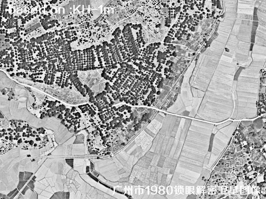
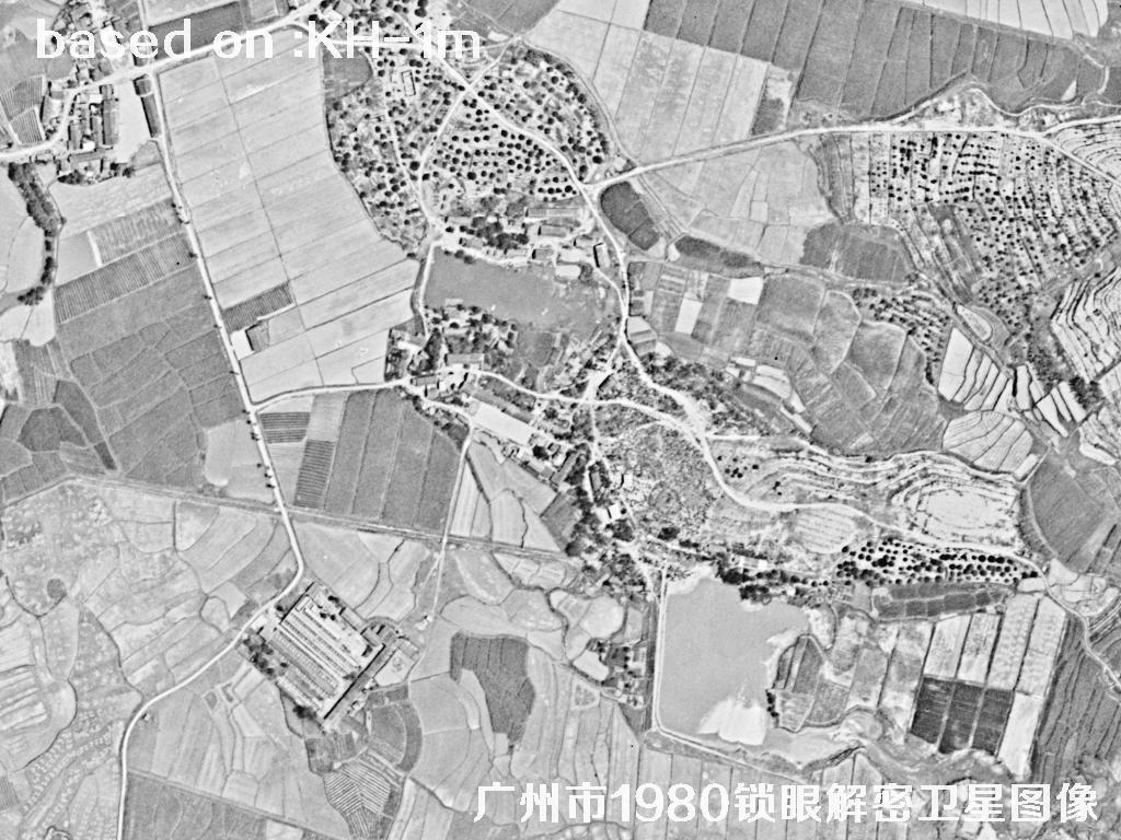
The images below are 1m resolution satellite images taken by the Keyhole satellite in 1980. These images come from the US Keyhole reconnaissance satellite program. At the time the film was returned to Earth, and after scanning and geometric correction it became a usable historical base map. A 1m resolution is enough to see road alignments, bridge locations and building patterns, making it an excellent source for studying more than four decades of urban change in Guangzhou.
Keyhole (KH) is a series of optical reconnaissance satellites that the United States began launching in 1960, and it is one of humanity's earliest systematic programs for acquiring high resolution imagery from space. Early models shot on film and recovered it with a return capsule: the satellite exposed the film in orbit and then sent the roll back to the ground for processing, so the level of detail was extremely rich and the image quality was even comparable to aerial photographs of the same period. The KH series went through several generations and served from the 1960s into the mid-to-late 1980s, accumulating a huge volume of historical imagery covering the entire globe. As part of the material has been declassified, this Keyhole imagery has become a valuable data source for studying urban change, environmental evolution and the history of major engineering projects. This 1980 set of Guangzhou is an important archive from the eve of rapid urban expansion, with high value for chronological comparison and historical research.
| Satellite | Keyhole (KH series) |
|---|---|
| 🌟 Resolution (Key) | About 1m (panchromatic film)Core Advantage |
| 🚀 Launch Date (Key) | KH series first flew in 1960; the model for this image first flew on 15 June 1971Historical Archive |
| Imaging Method | Optical film capture + return capsule recovery |
| Image Type | Panchromatic visible light / black and white |
| Service Period | 1960 - mid-to-late 1980s |
| Applications | Urban change research, historical base maps, land use change detection |
📷Guangzhou 1980 Historical Satellite Image Total: 48 images 🛰️
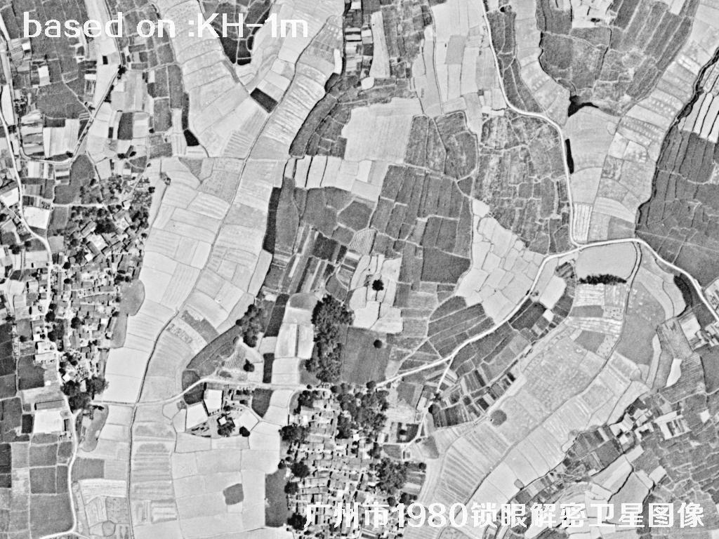 Sample⛶
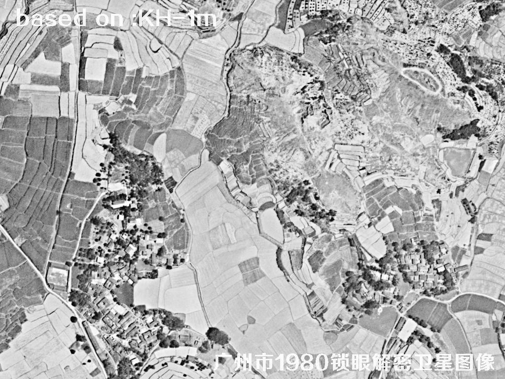 Sample⛶
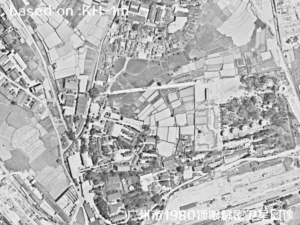 Sample⛶
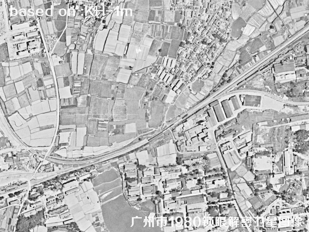 Sample⛶
 Sample⛶
 Sample⛶
 Sample⛶
 Sample⛶
 Sample⛶
 Sample⛶
 Sample⛶
 Sample⛶
 Sample⛶
 Sample⛶
 Sample⛶
 Sample⛶
 Sample⛶
 Sample⛶
 Sample⛶
 Sample⛶
 Sample⛶
 Sample⛶
 Sample⛶
 Sample⛶
 Sample⛶
 Sample⛶
 Sample⛶
 Sample⛶
 Sample⛶
 Sample⛶
 Sample⛶
 Sample⛶
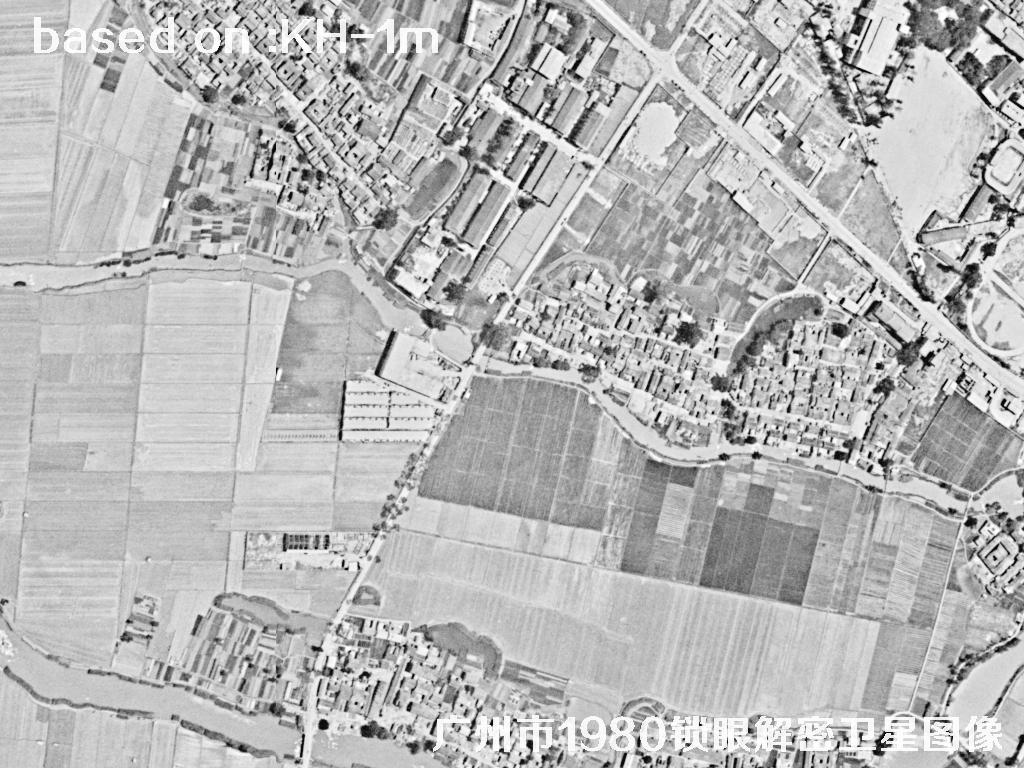 Sample⛶
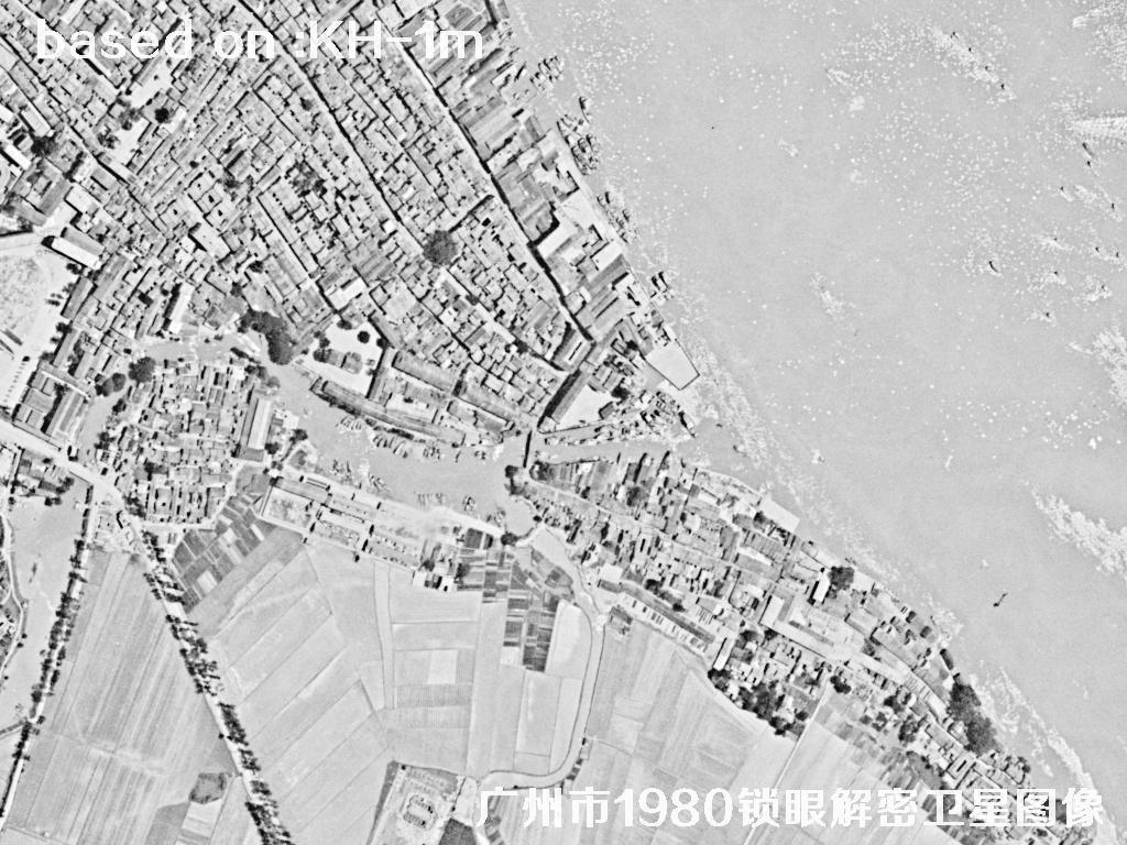 Sample⛶
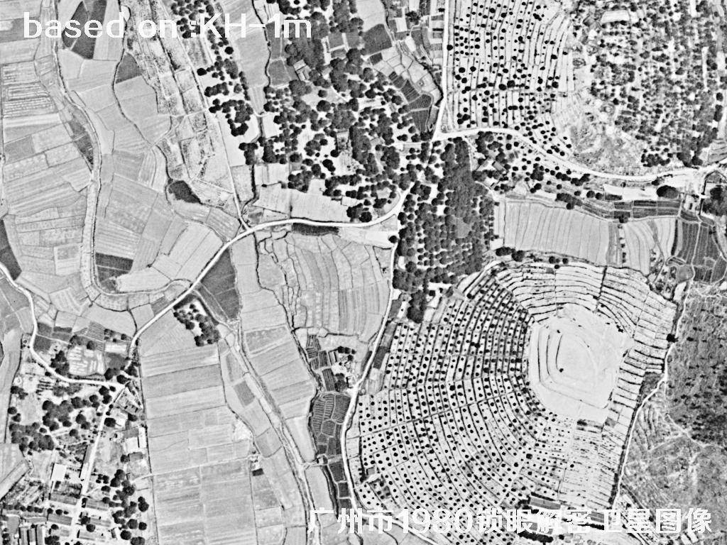 Sample⛶
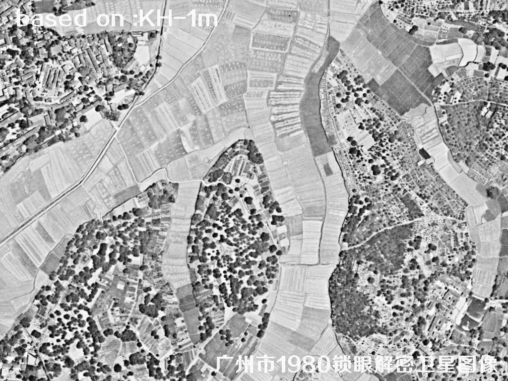 Sample⛶
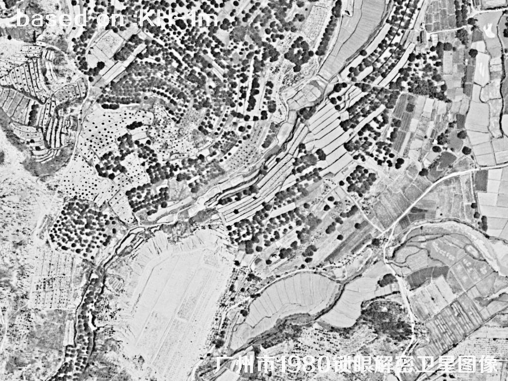 Sample⛶
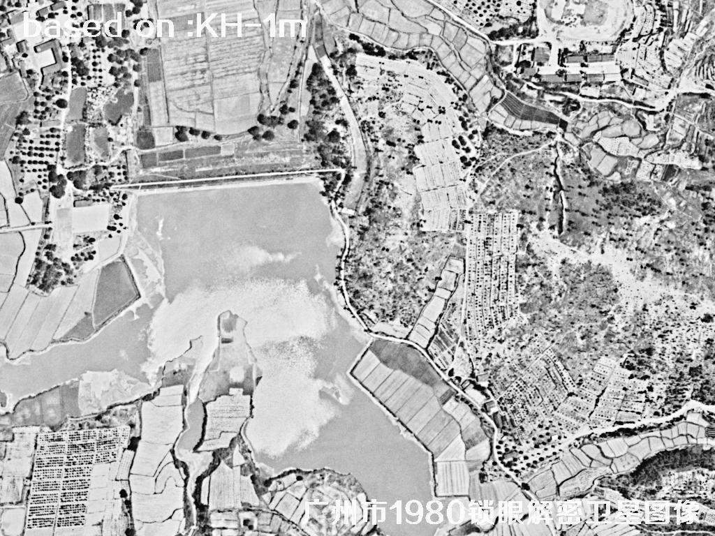 Sample⛶
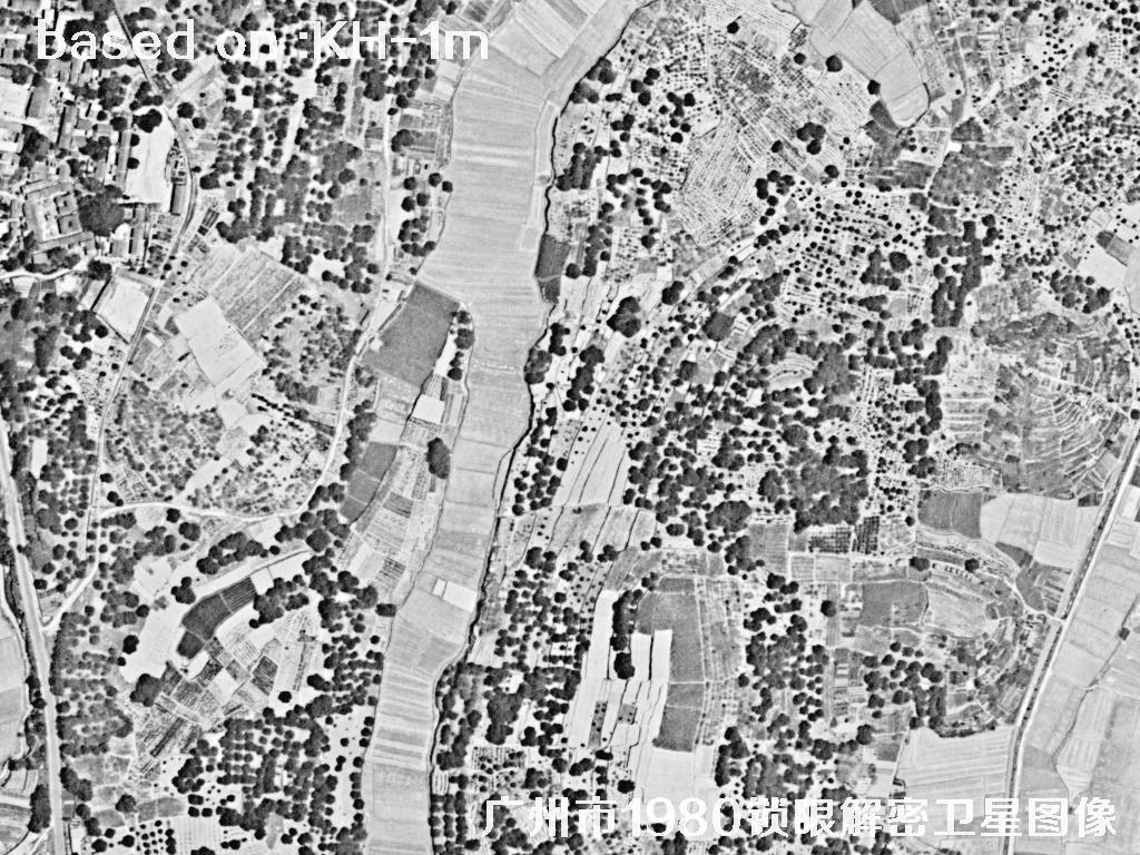 Sample⛶
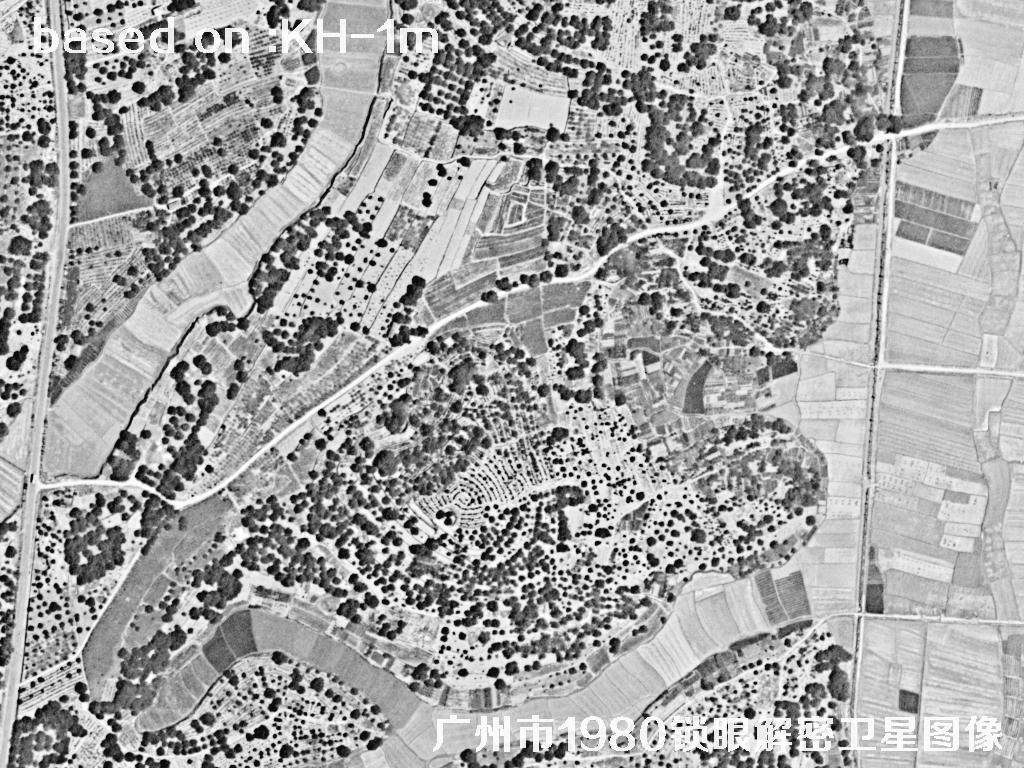 Sample⛶
 Sample⛶
 Sample⛶
 Sample⛶
 Sample⛶
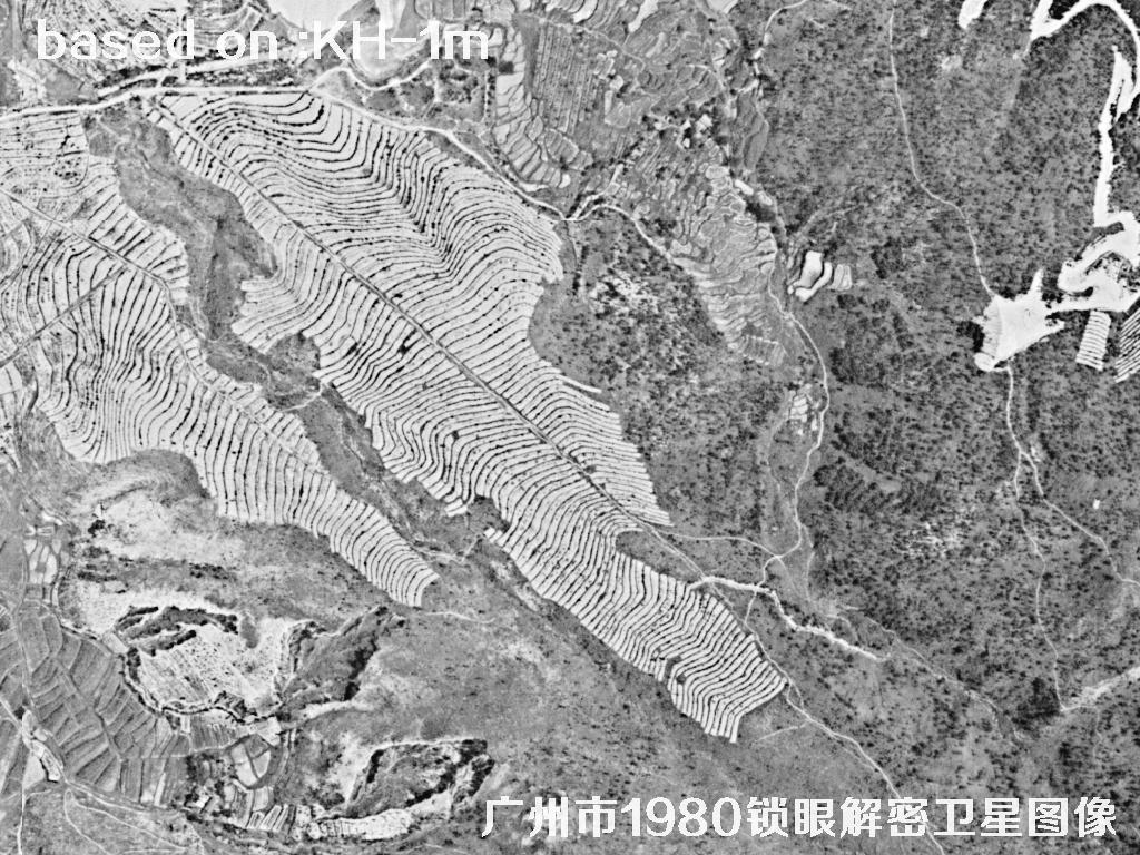 Sample⛶
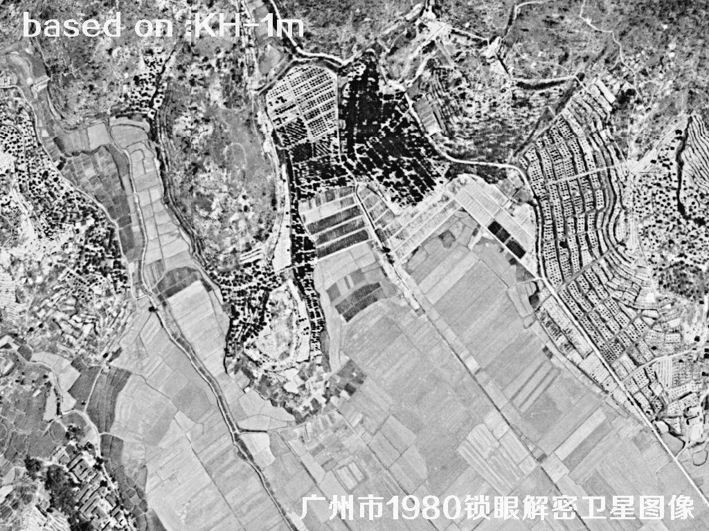 Sample⛶
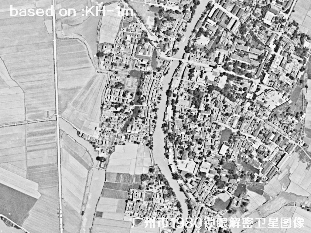 Sample⛶
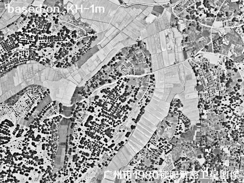 Sample⛶