🗺️The Historical Value of Keyhole Satellite Imagery: 1983 Satellite Map of Changzhi
Changzhi is an old city with more than two thousand years of building history, and traces of its lanes, factory yards and rail spurs can still be found in town today. Satellite images from the 1970s and 1980s are precious precisely because the city had not yet begun to spread outward on a large scale: the old wall remnants, workshops, warehouses and continuous farmland still held their original arrangement, and a single pass froze the structure of the whole city. 1983 fell in the early years of reform and opening up, when construction was just starting, so these scenes record the city as it looked just before change arrived.
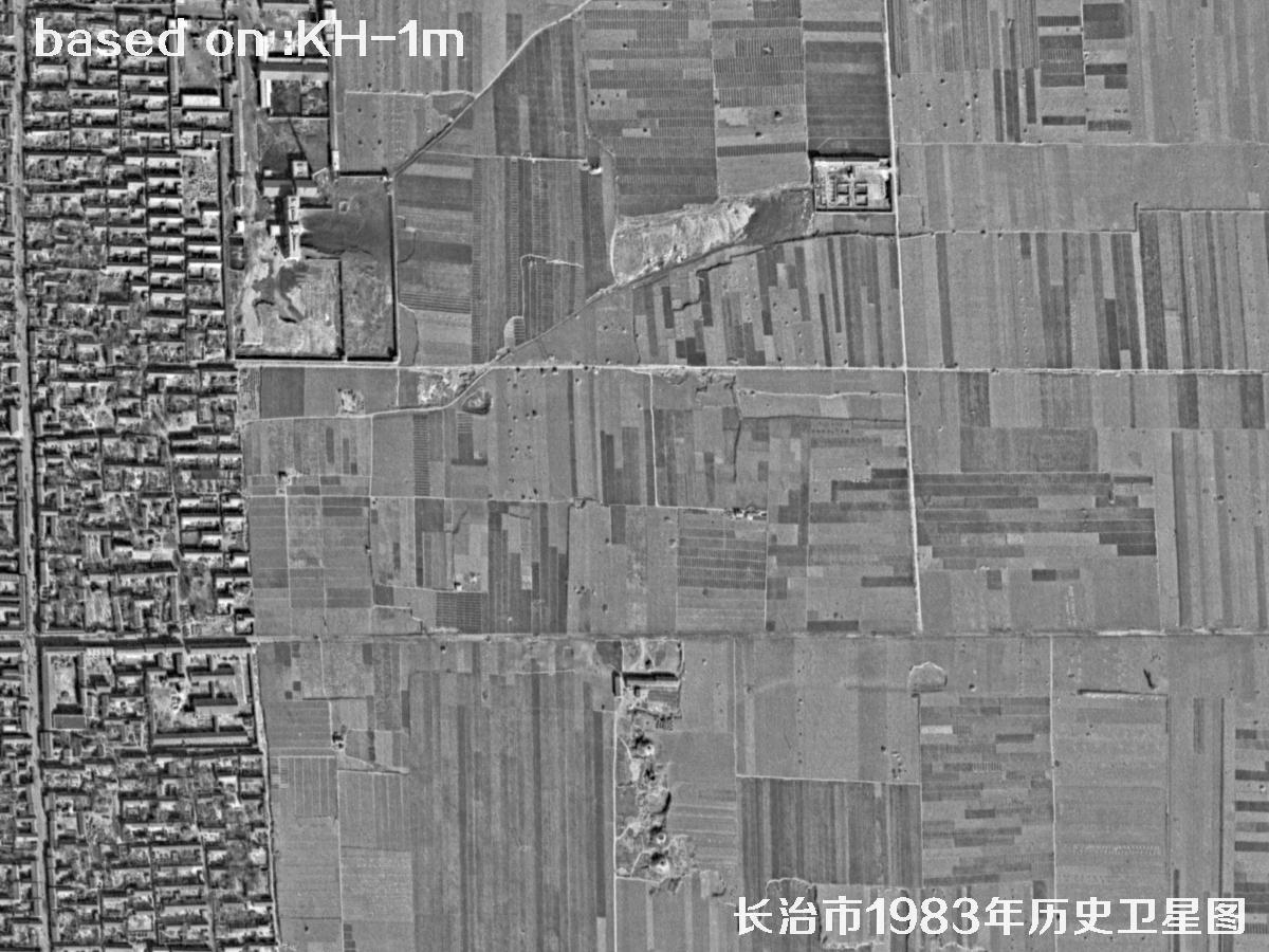
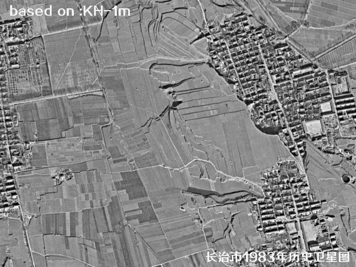
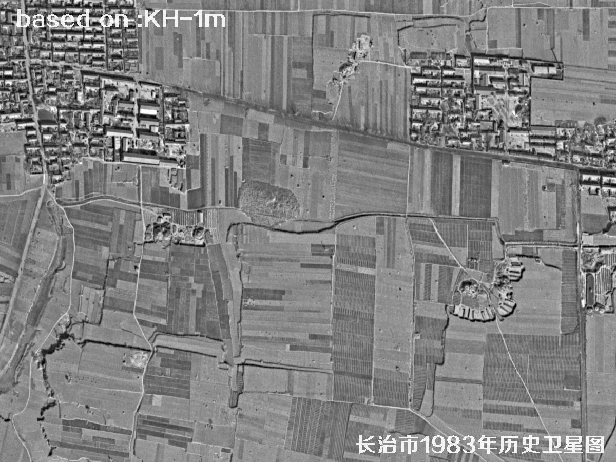
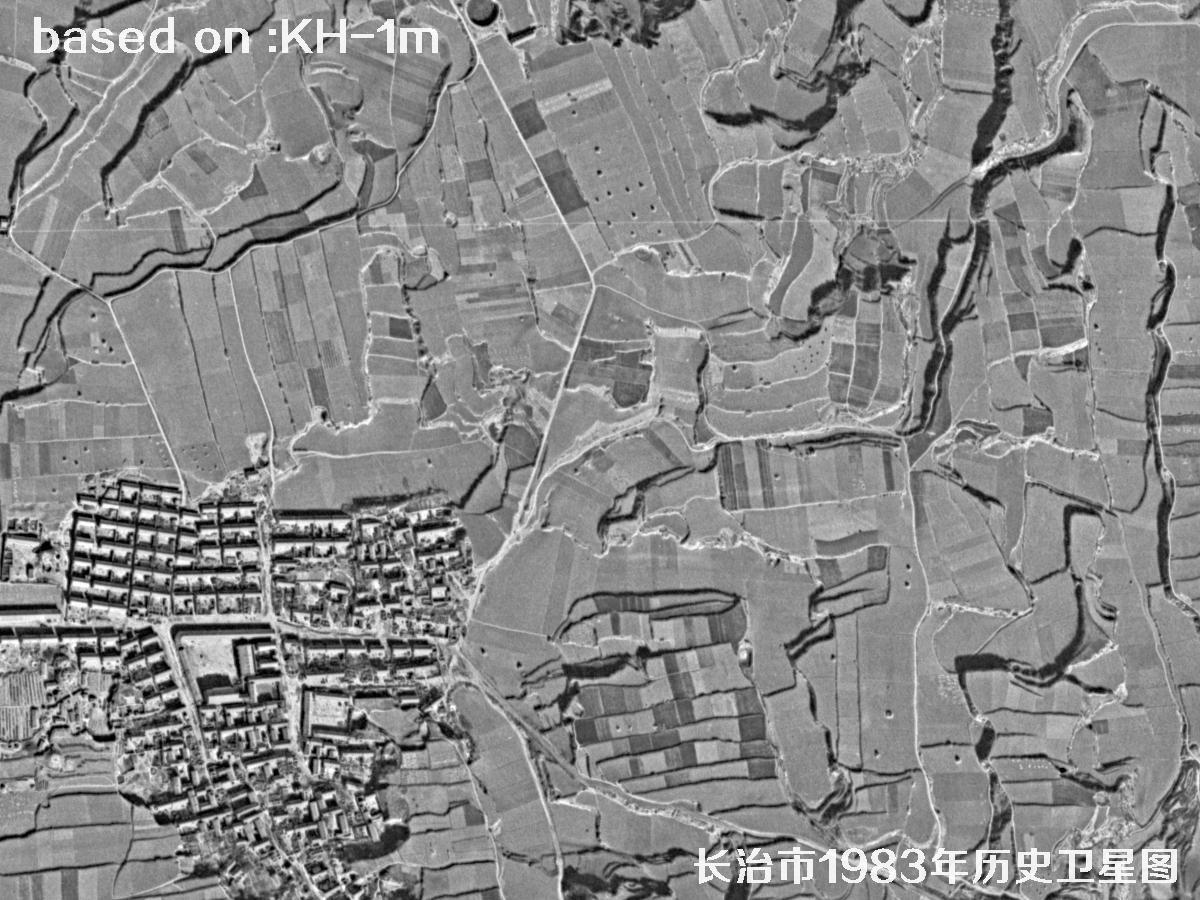
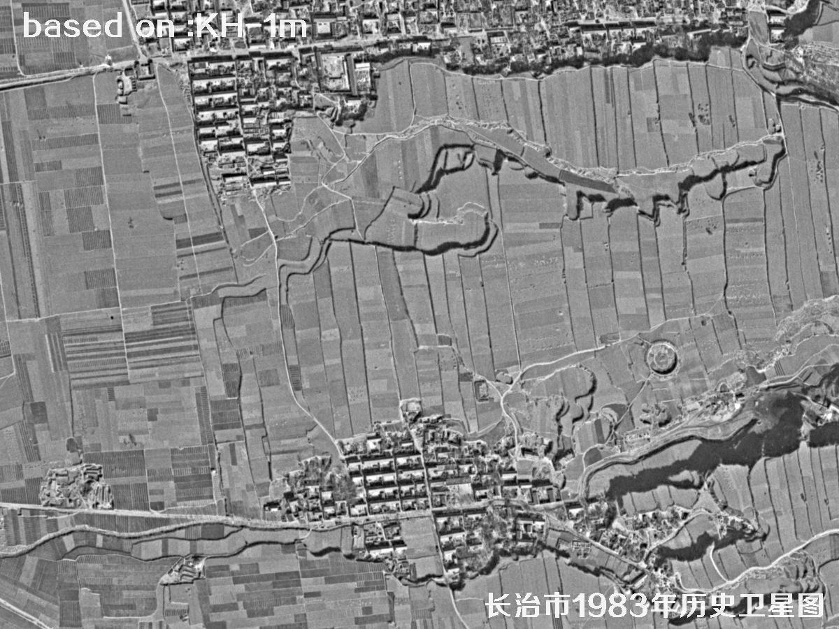
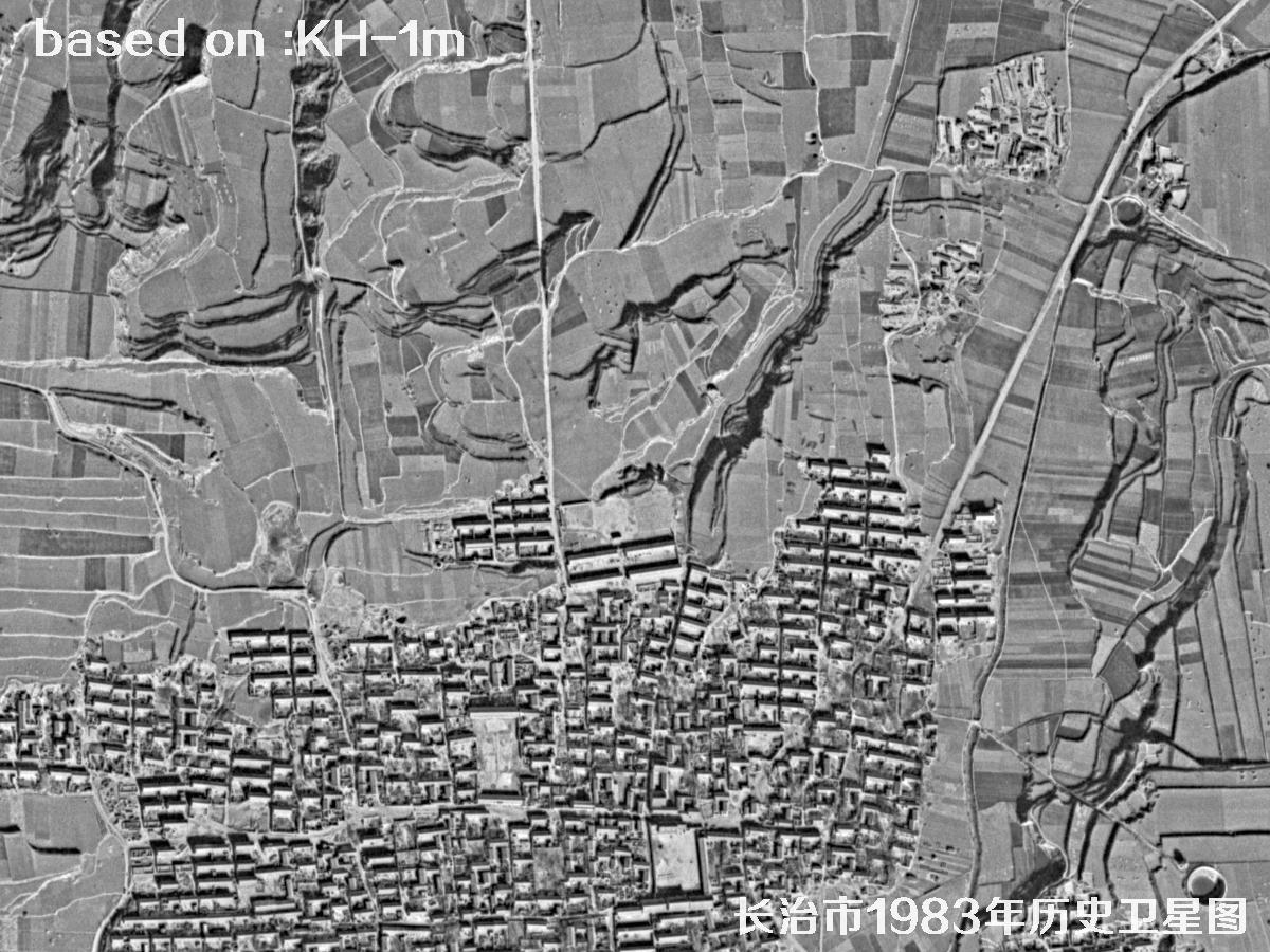
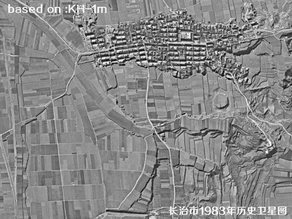
For urban planning, historical geography, factory-site redevelopment and place-name research, they are more than nostalgia: they are a measurable, stackable base map on which the line of a road, the swing of a river and the edge of a village can all be traced. Overlay one frame on a modern image and the growth of the built-up area becomes obvious in a way that no table of figures quite matches. The images below were taken by the American Keyhole satellite over Changzhi, Hunan Province, in 1983 at 1 m resolution.
Keyhole (KH) is the collective name for a family of US optical reconnaissance satellites flown during the Cold War. From the first KH-1 in 1960 through the KH-9 “Hexagon” of the 1970s and the KH-11 that followed, the series returned a huge volume of film to Earth over more than two decades, imaging millions of square kilometres of the planet's surface. In 1995 the US government declassified early Keyhole imagery, and in 2002 released part of the KH-9 archive, turning these “eyes of the Cold War” into a historical base map that researchers, planners and enthusiasts around the world can use.
Keyhole imagery is valuable for urban research because of its long time span, complete coverage and correctable geometry. In Changzhi, the 1983 scene resolves main roads, factory walls, rows of single-storey houses and farmland plots; overlay the same spot on a modern image and the advance of the urban edge, the loss of farmland, and shifts in the river and railway become immediately visible. Many features that have since disappeared — fragments of the old city wall, factory spur lines, the old airfield — survive in full only in images like these. For local gazetteers, heritage protection and the tracing of land tenure, Keyhole imagery is hard to avoid.
📊 Ground Detail: 1983 vs. Today (shorter bar = finer detail)
One metre per pixel, then and now🗓️Changzhi in 1983: Keyhole Satellite Imagery
Total 15 imagesClick the ⛶ button in the middle of any image to view it full screen. In full screen, press ← ↑ for the previous image and → ↓ for the next; press Esc to exit.
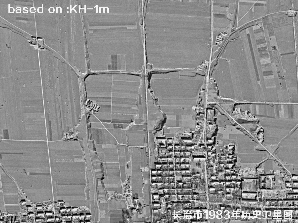 Sample
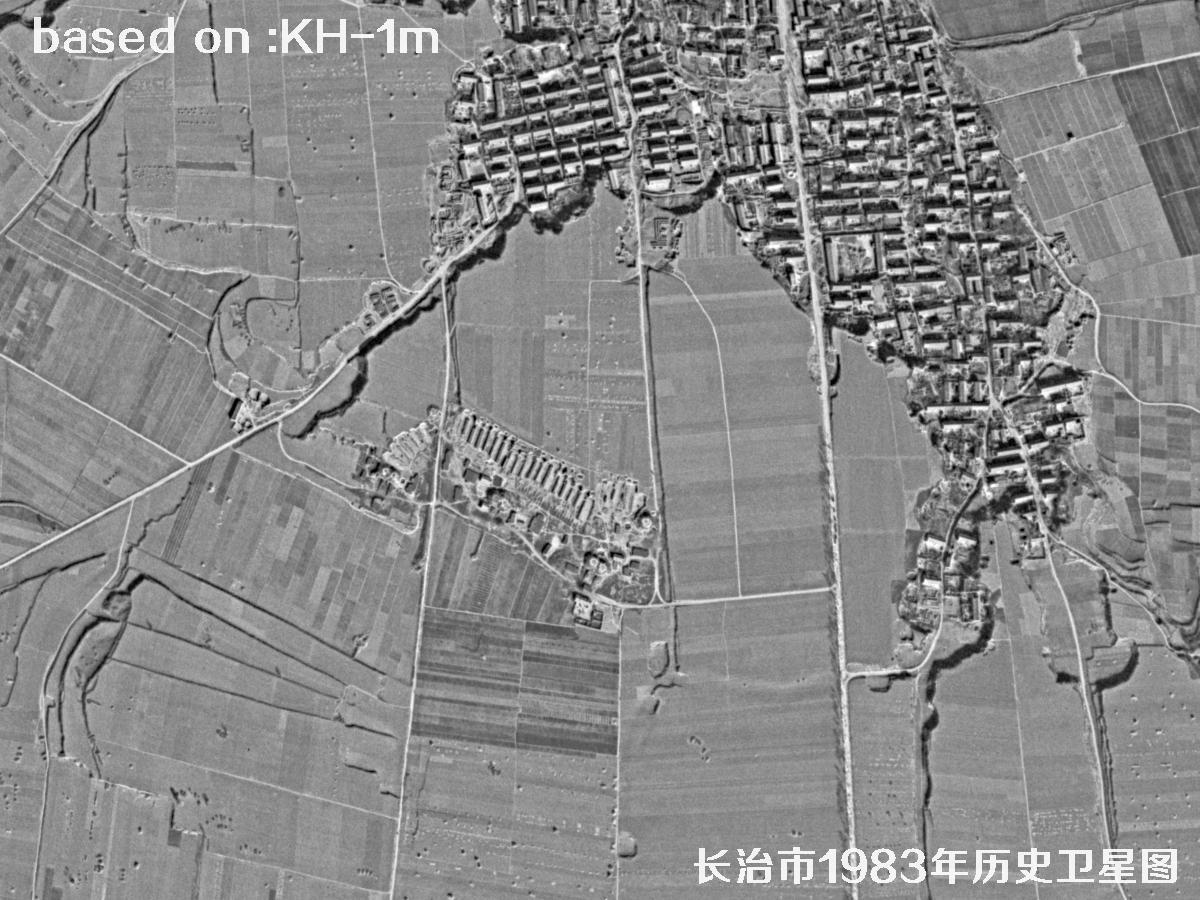 Sample
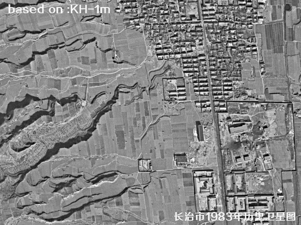 Sample
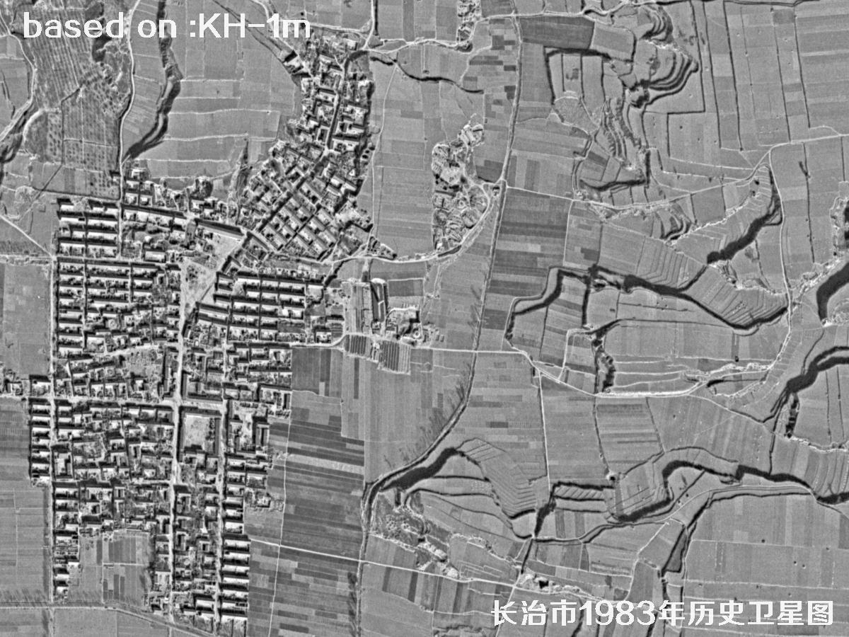 Sample
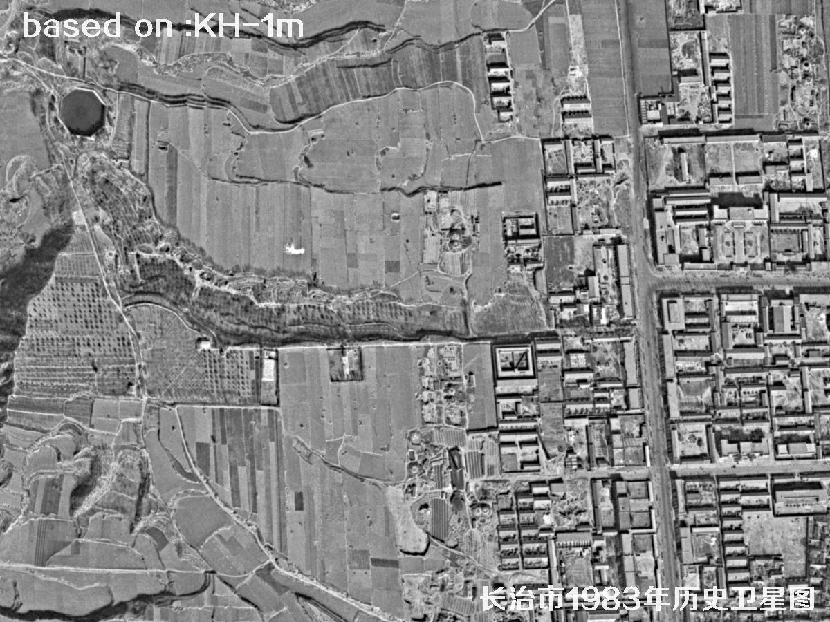 Sample
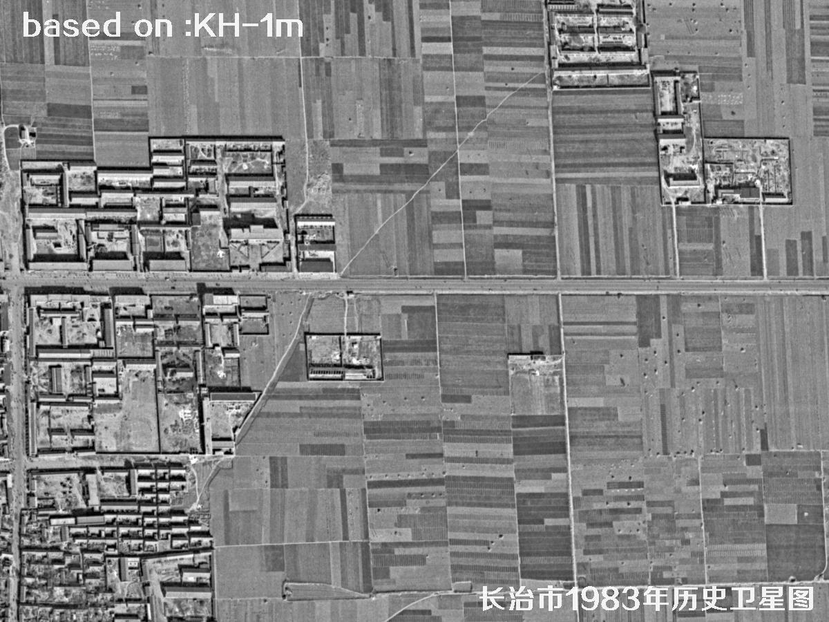 Sample
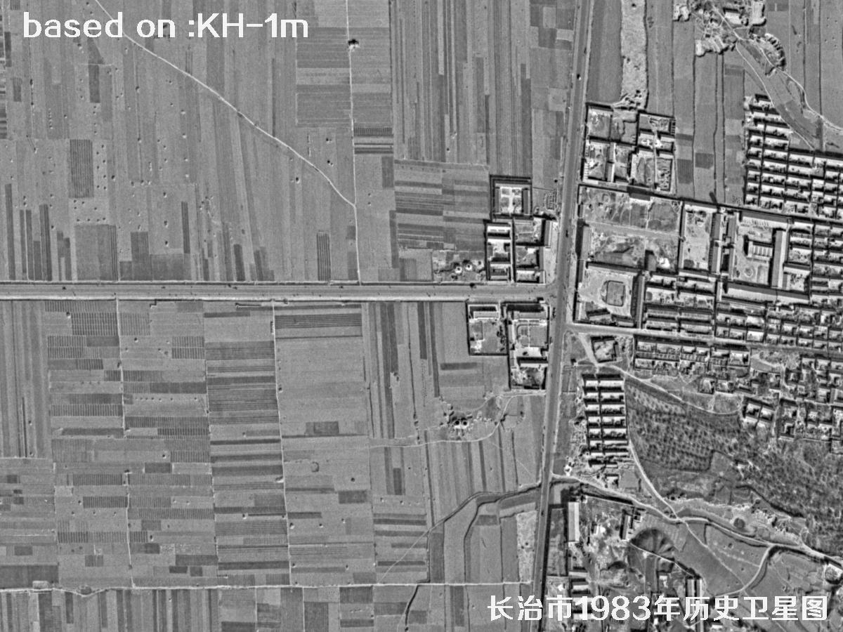 Sample
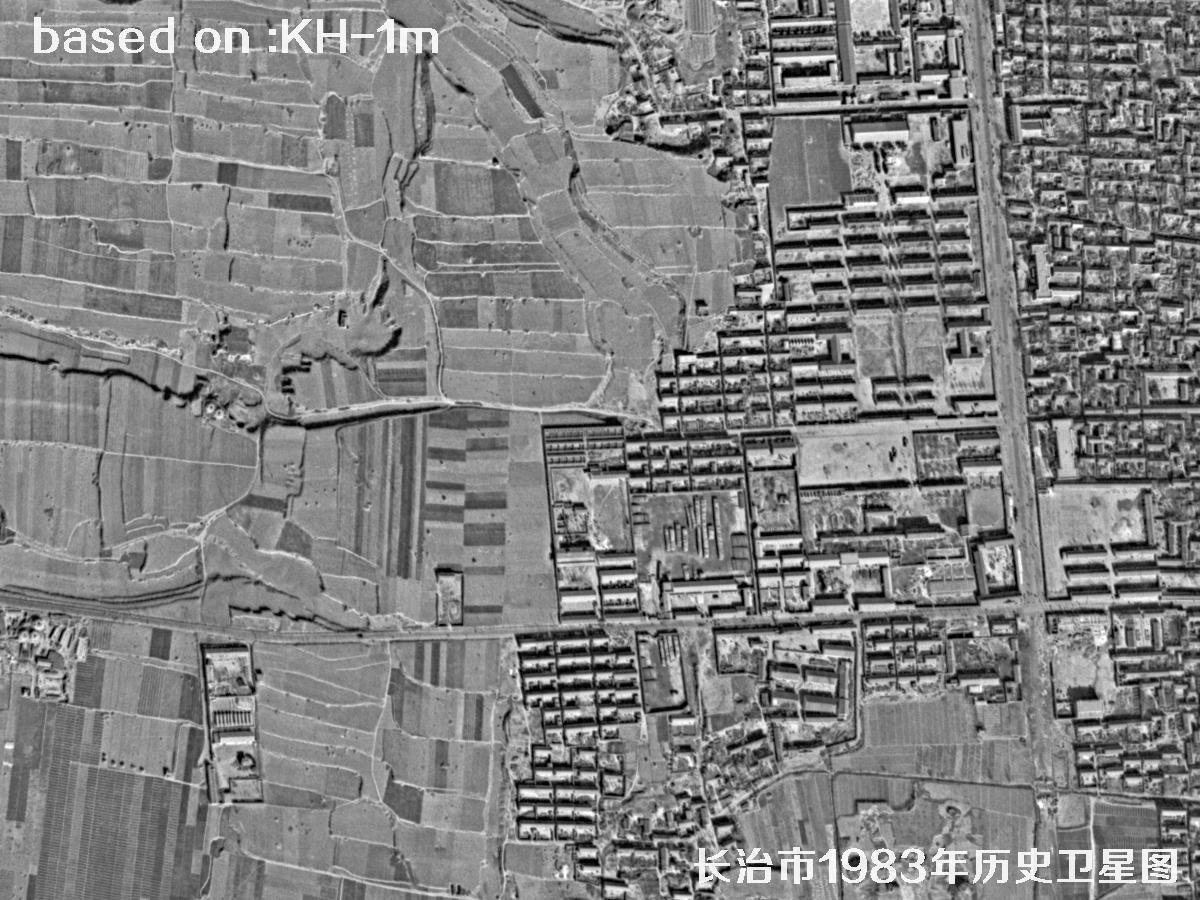 Sample
 Sample
 Sample
 Sample
 Sample
 Sample
 Sample
 Sample
🎯What Else Can You Spot?
These ground targets read clearly in Keyhole imagery. Pick a topic to see more.