SuperView Gaojing Satellite: 0.5m Imagery of Tacheng, Xinjiang
🏔️ Tacheng, Xinjiang
Tacheng Prefecture lies in northwestern Xinjiang Uygur Autonomous Region, China, at the northern foot of the Tianshan Mountains and the western edge of the Junggar Basin — a key area where China borders Kazakhstan. Its scenery is magnificent and diverse, combining high mountains, grasslands, forests, rivers and desert, earning it the name “Jiangnan beyond the Pass.”
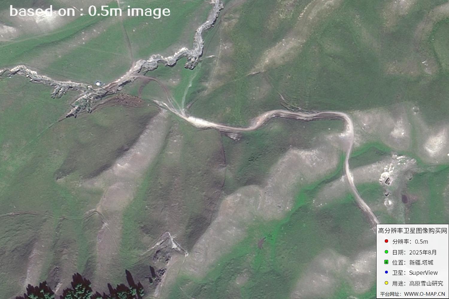
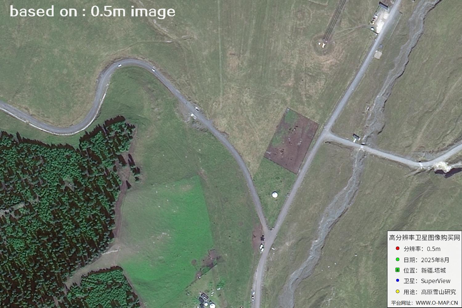
To the south, Tacheng nestles against the towering Tianshan Mountains, whose steep peaks stay snow-capped year-round. The climate is cool; in summer the grass is green and cattle and sheep graze in herds. The most famous scenic spots are the Barlik Mountains, Wusu Valley and Emin River. Mount Barlik is a renowned nature reserve in Xinjiang with rich rare flora and fauna and wildflowers everywhere in summer, while Wusu Valley is famed for its interwoven canyons, streams, meadows and spruce forests — a paradise for photographers and hikers.
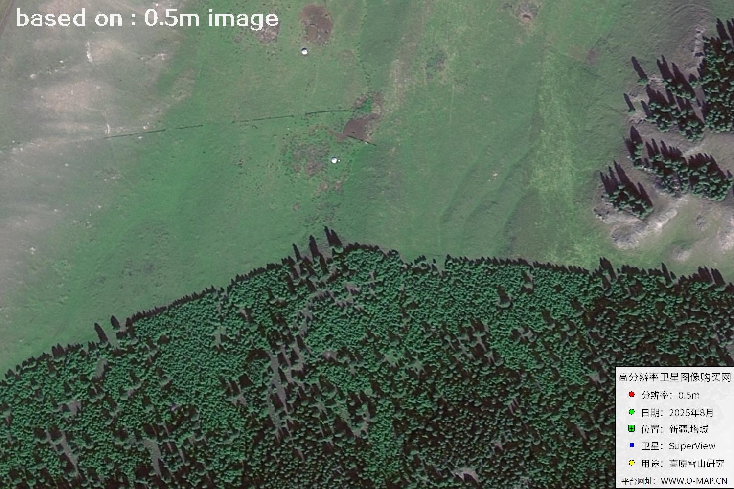
To the north rise the majestic, densely forested Tarbagatai Mountains, known as the “Little Alps.” The vast northern-Xinjiang grasslands, dotted with yurts and echoing with herders' songs every summer and autumn, blend ethnic culture with natural beauty. The crystal-clear Emin River runs through the whole area, its green valley adding vitality to Tacheng.
With its unique border scenery and rich ethnic culture, Tacheng is a popular tourist destination. Its four distinct seasons offer both the grandeur of snowy peaks and glaciers and the softness of grassland flower seas — a rare eco-tourism gem in northern Xinjiang.
🛰️ Gaojing satellite images of Tacheng (53 views):
Tip: click any image to enlarge (click, arrow keys, Esc, or prev / next buttons are supported).
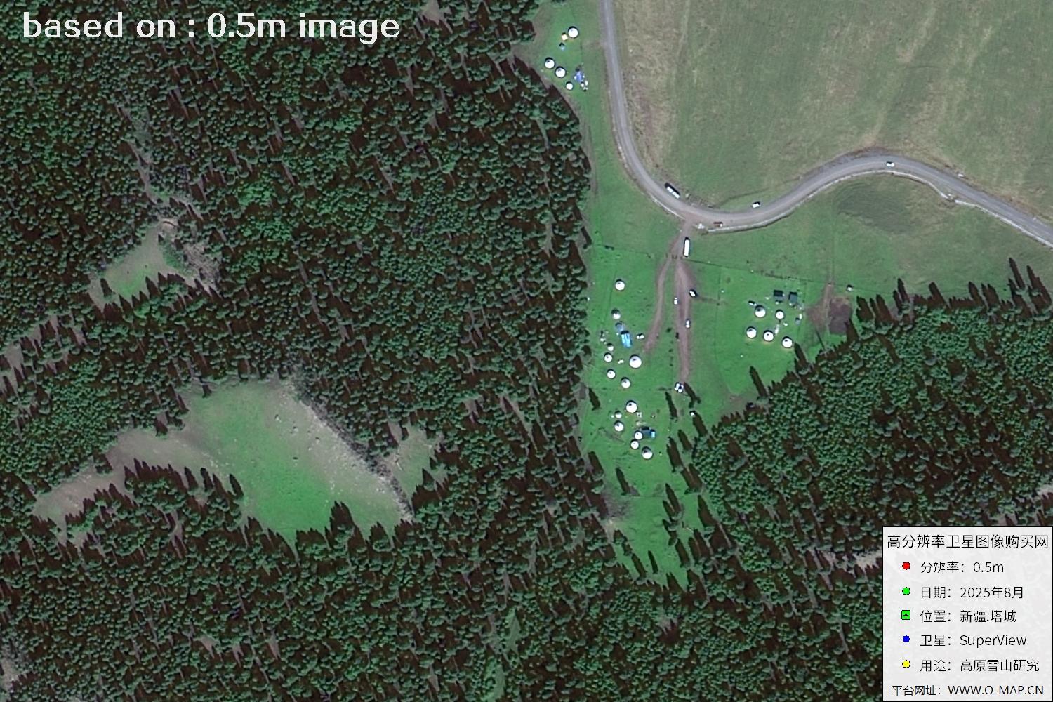
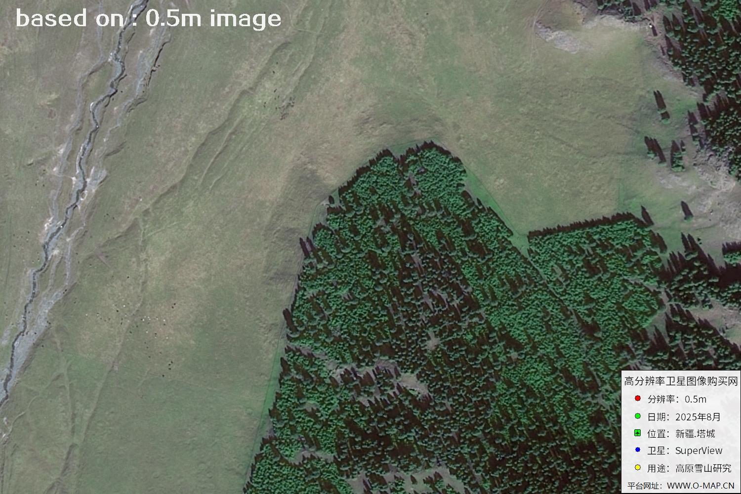
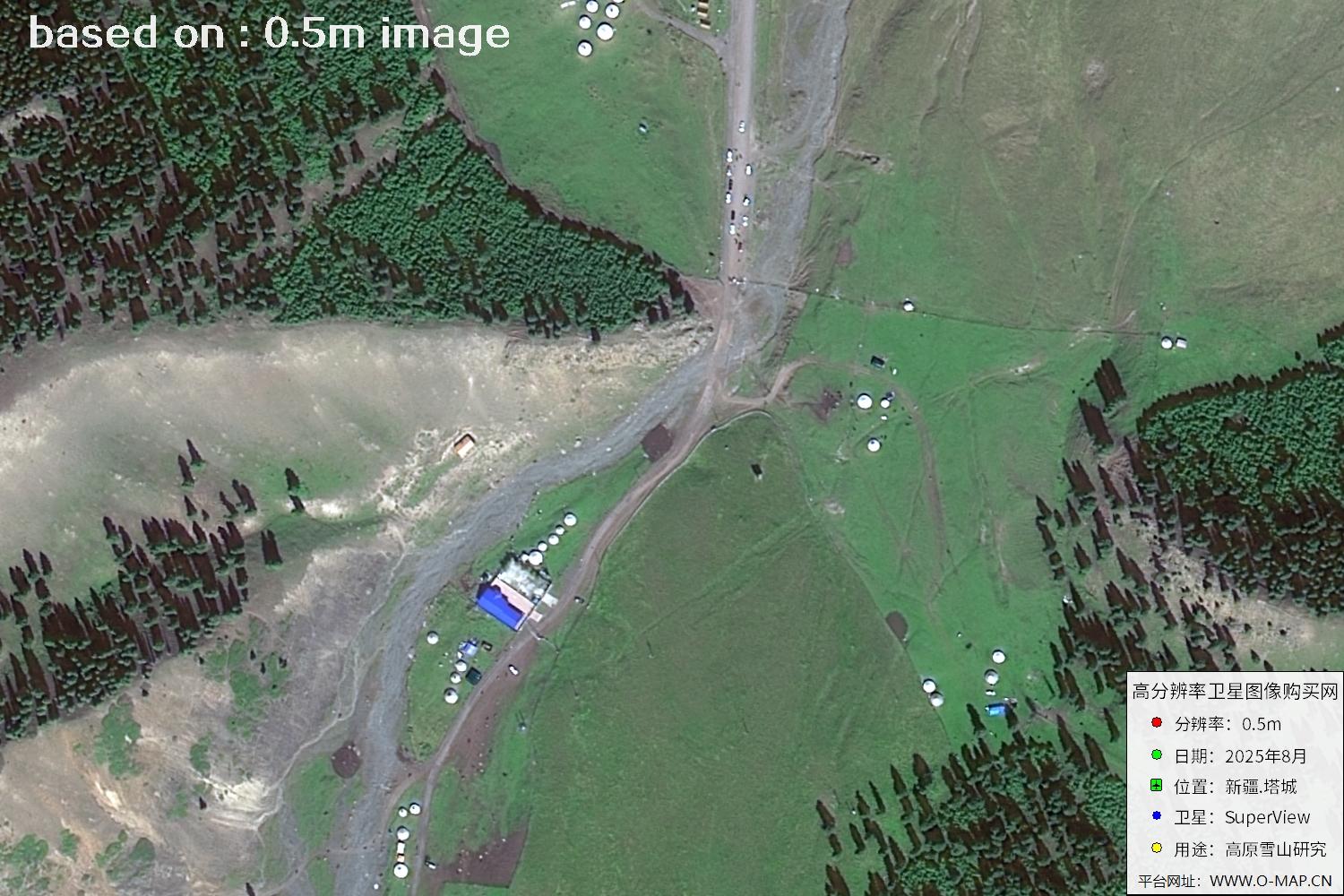
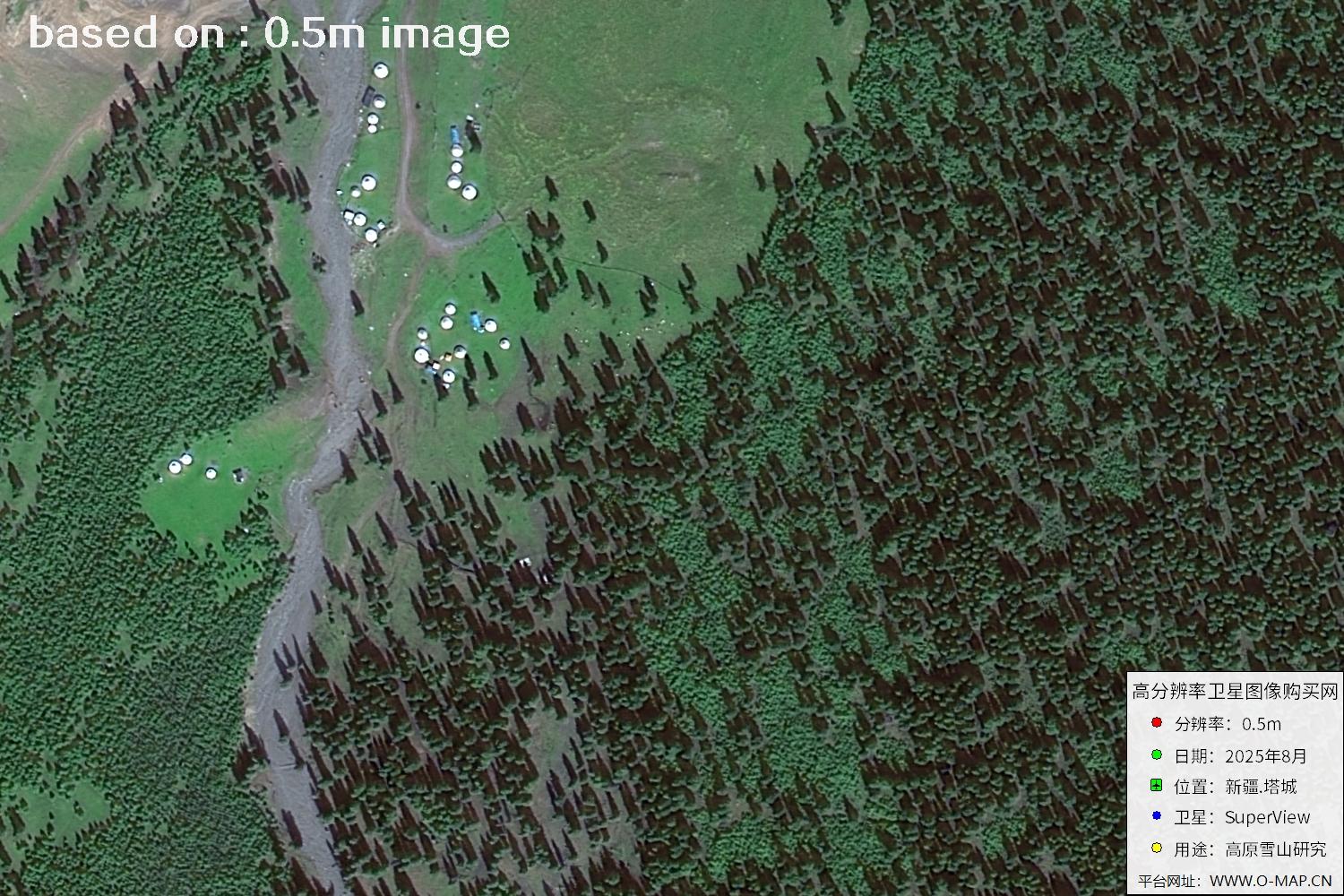
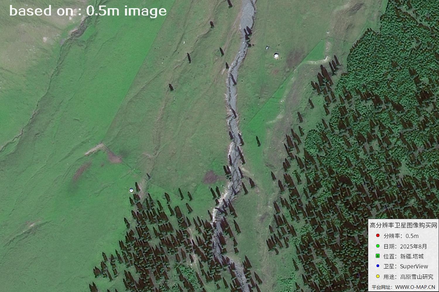
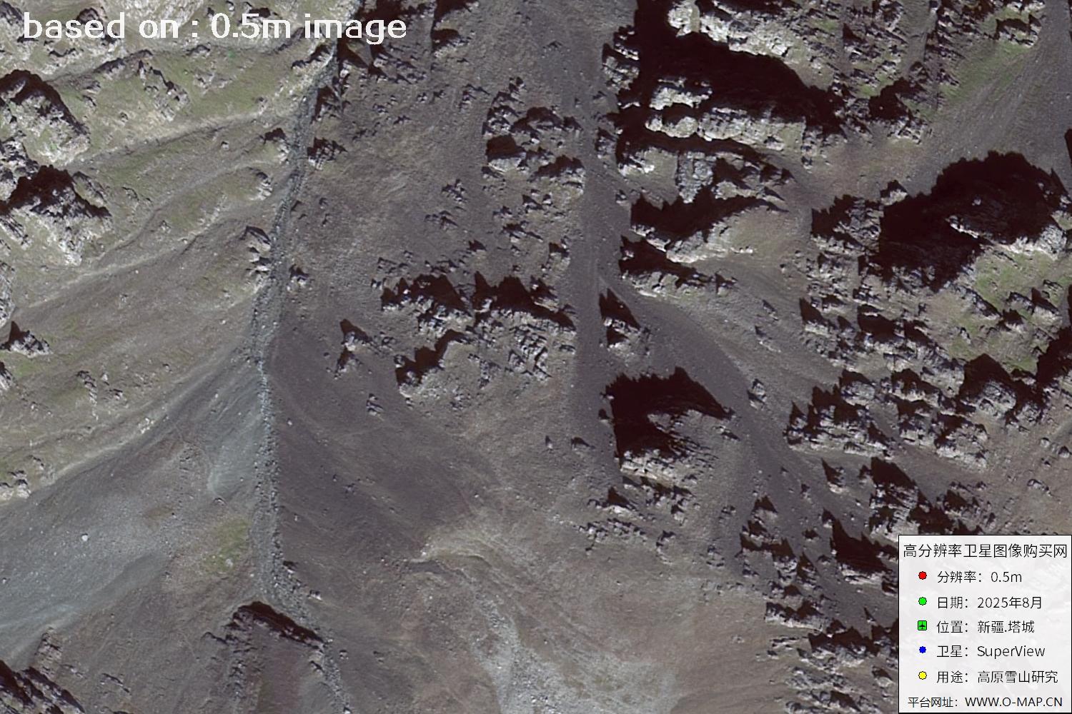
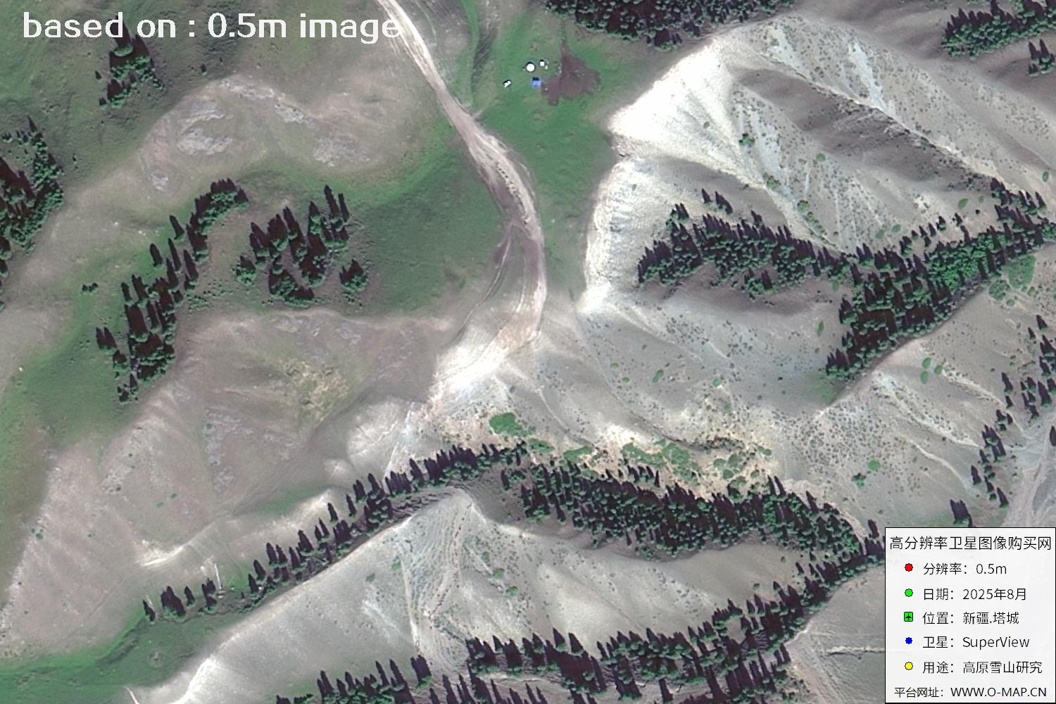
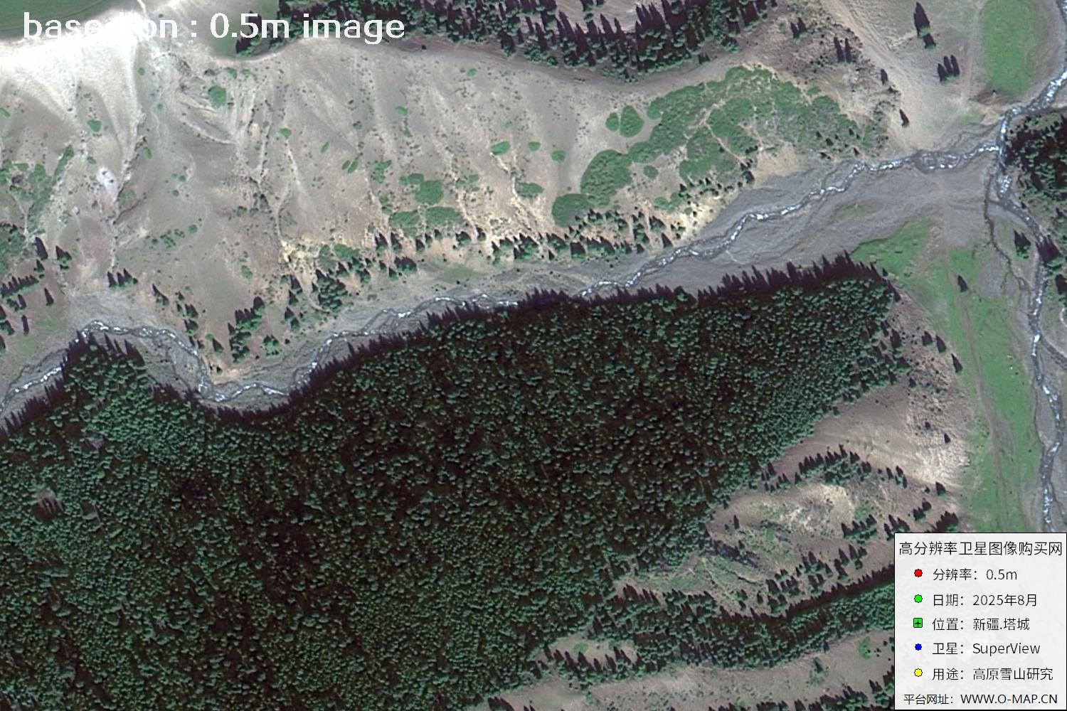
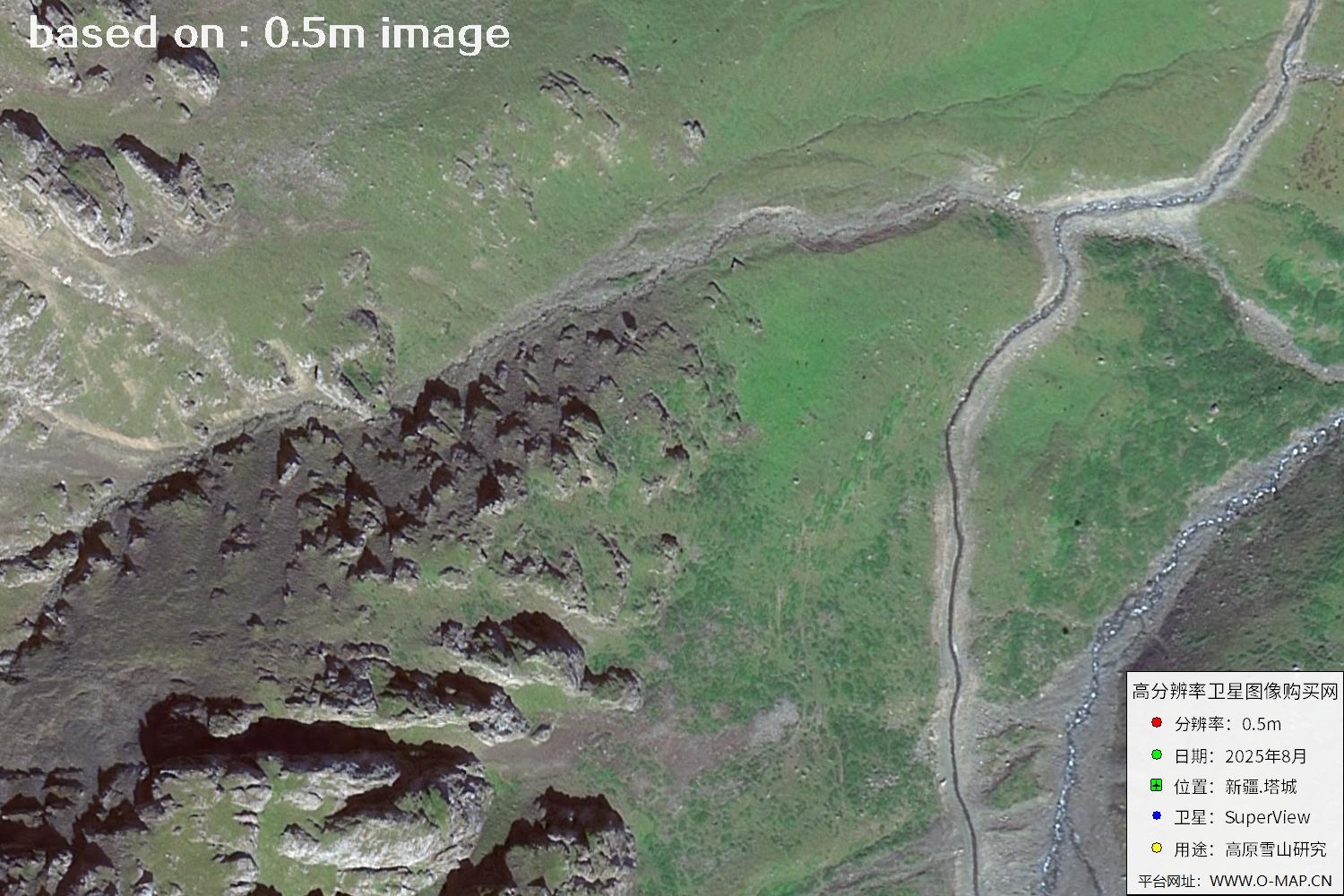
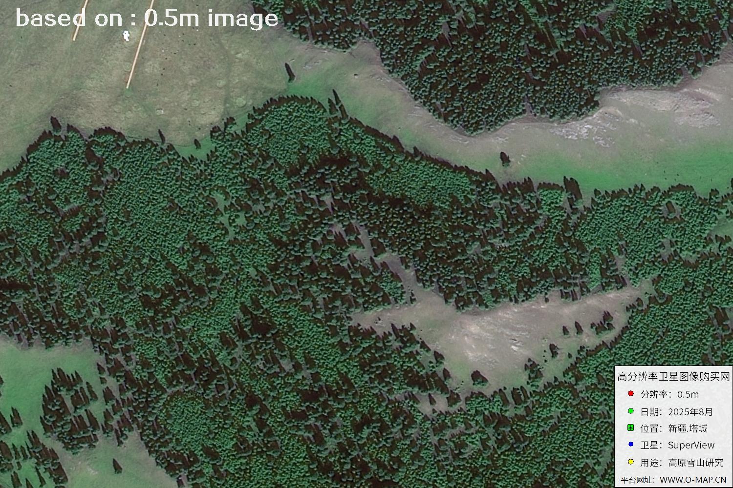
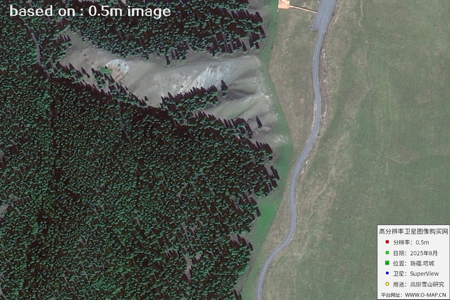
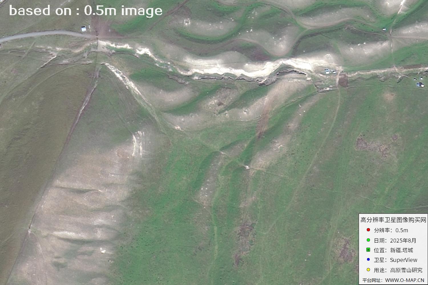
Showing the first 15 of 53 scenes in a 3 × 5 grid (per requirement); click any thumbnail for the full-size slideshow.
🛒 Buy Xinjiang-Area Satellite Imagery Now
Disclaimer: this is an original article. Reproduction without permission is prohibited; violators will be held liable. Original articles shall not be reproduced.