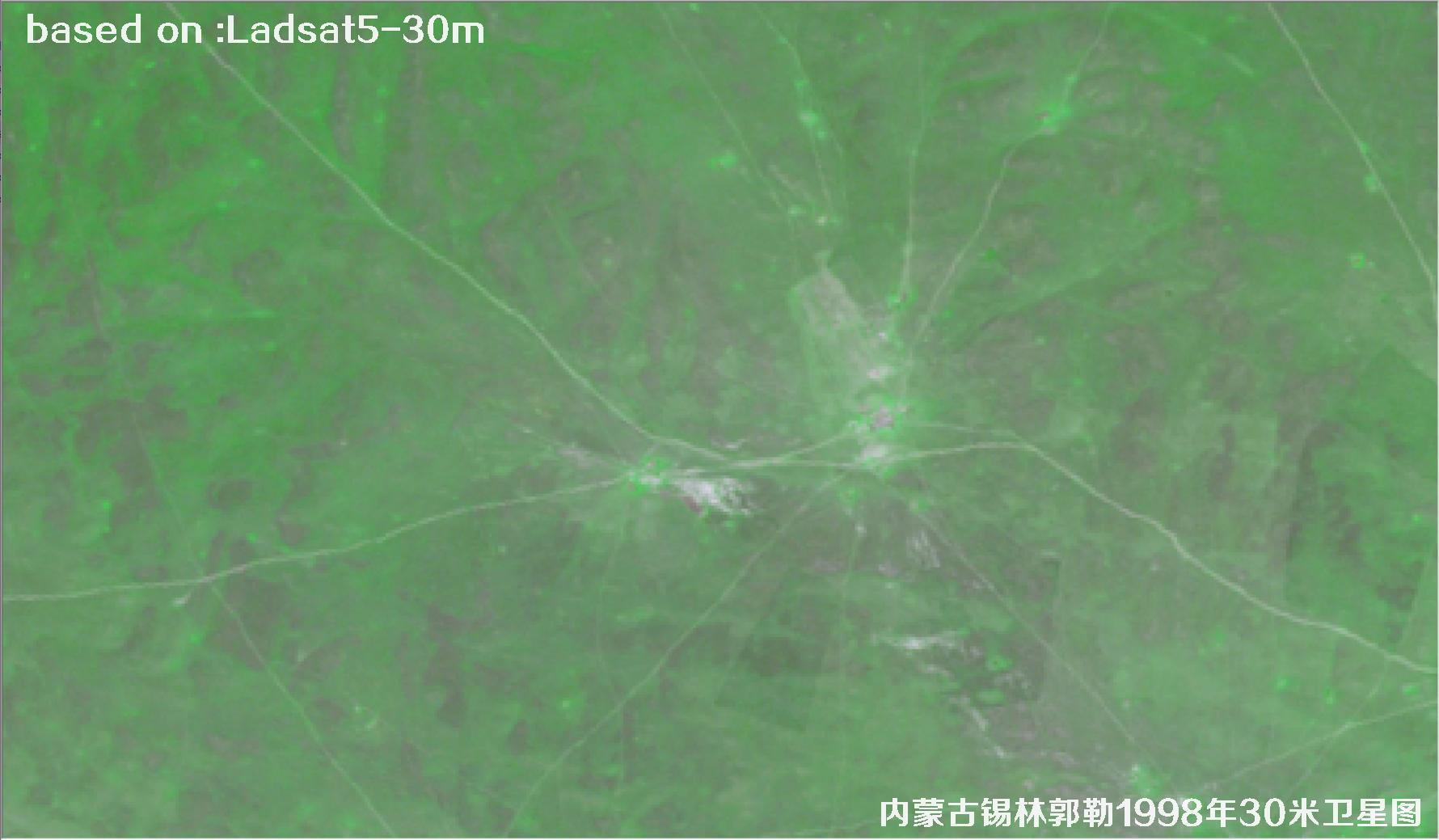
📡 Inner Mongolia Xilin Gol 1998 30m Landsat5 Satellite Image
Back in the 1990s, the remote sensing satellites overhead were nothing like the crowded constellation we have today. Only a handful of civilian Earth observation satellites were in orbit, and their imagery typically sat somewhere between 10 and 30 metres in resolution — France's SPOT series could deliver 10-metre panchromatic data, while the American Landsat series offered 30-metre multispectral imagery. The sub-metre and even 0.3-metre satellite views that are everywhere now were still largely confined to laboratories and military programmes, well out of reach for ordinary users. In other words, if you wanted to study surface change in 1998, 30-metre Landsat5 imagery was already the best "high resolution" material available. A single scene covered 185 kilometres and carried a full set of spectral bands, and it remains a heavyweight base map for studying urban expansion, grassland degradation and lake fluctuation even today.
Xilin Gol lies in the central part of the Inner Mongolia Autonomous Region and is one of China's most typical temperate grassland areas, as well as a key ecological shield for the Beijing–Tianjin–Hebei region. The terrain here is broad and gentle, bordered by the Mongolian Plateau to the north and the Yanshan Mountains to the south, with grassland, sandy land, lakes, rivers and farmland interwoven throughout. In 1998, Xilin Gol was in the middle of rapid growth in the livestock industry and dramatic shifts in its ecological pattern, and its land use, grazing intensity and water body extents all differed noticeably from today. This satellite imagery from that year therefore offers a very direct reference point for studying grassland ecological change, desertification processes and the transformation of the farming–pastoral transition zone.
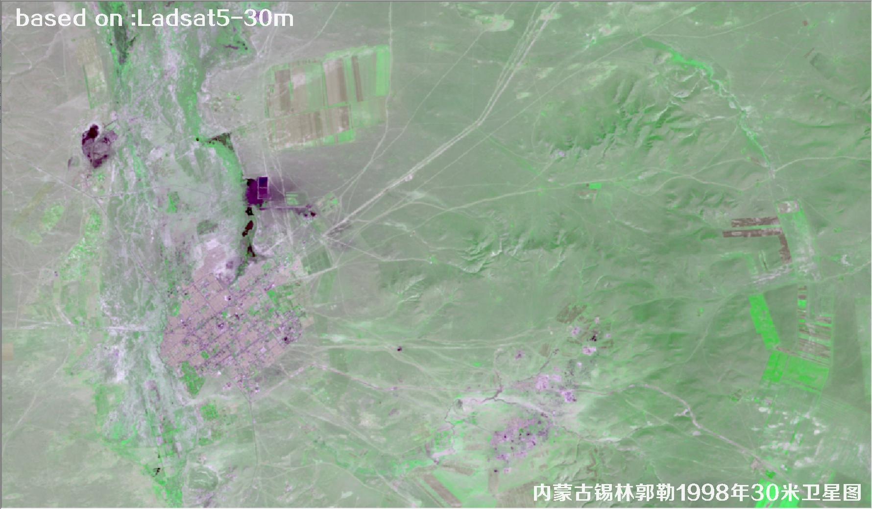
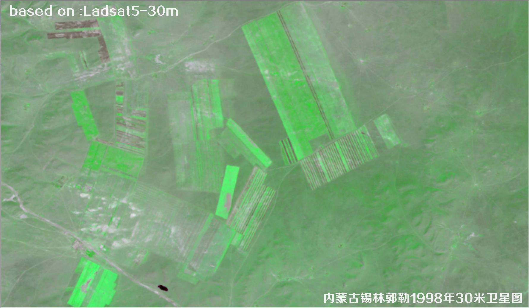
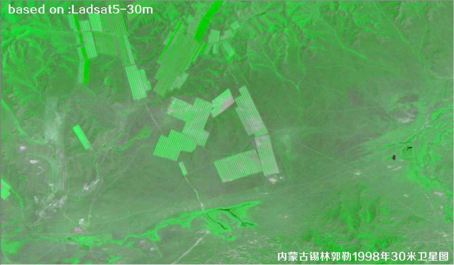
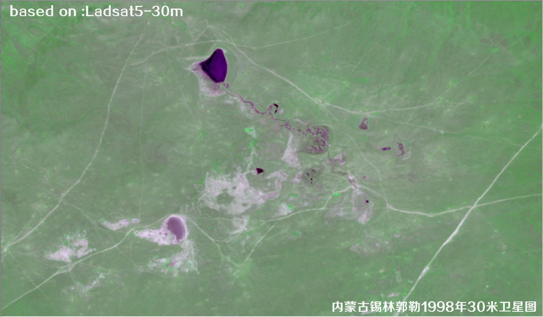
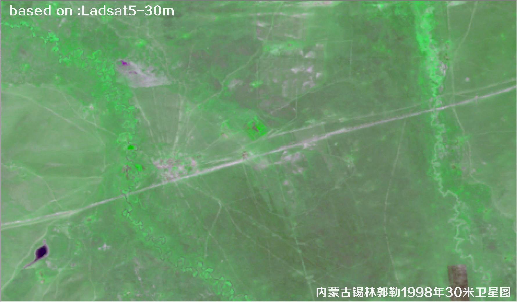
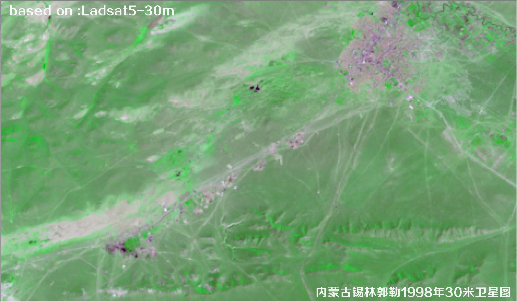
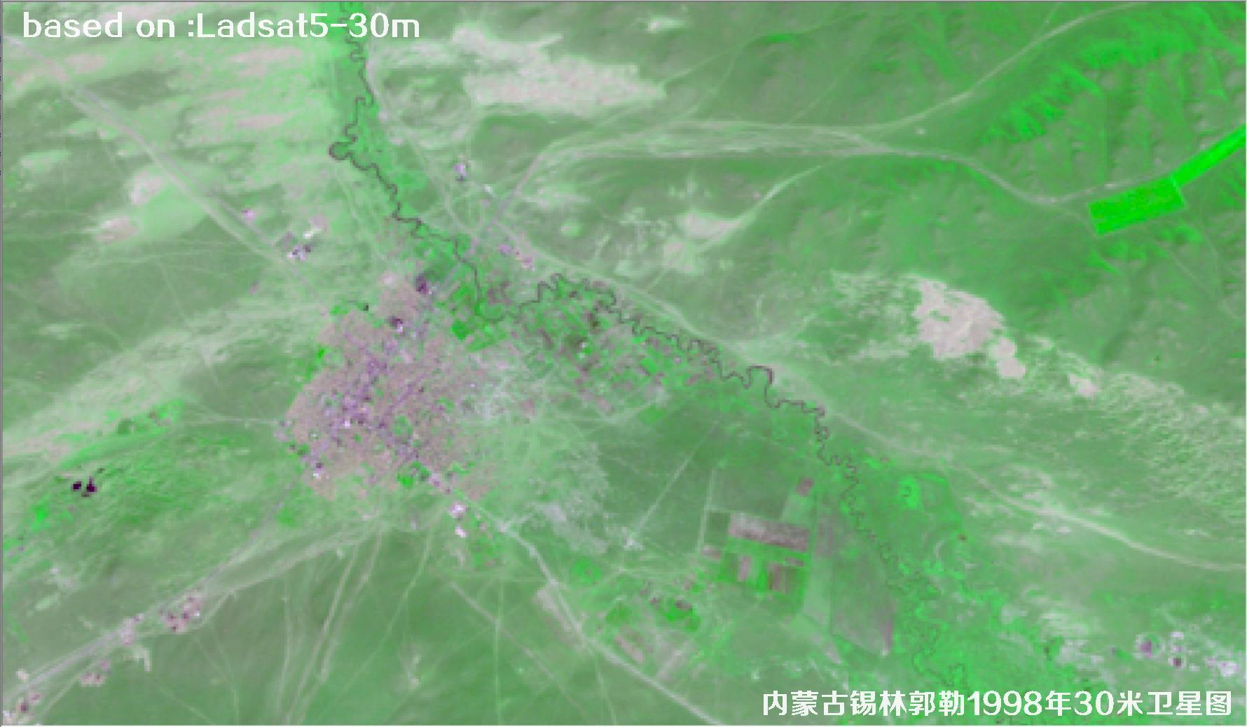
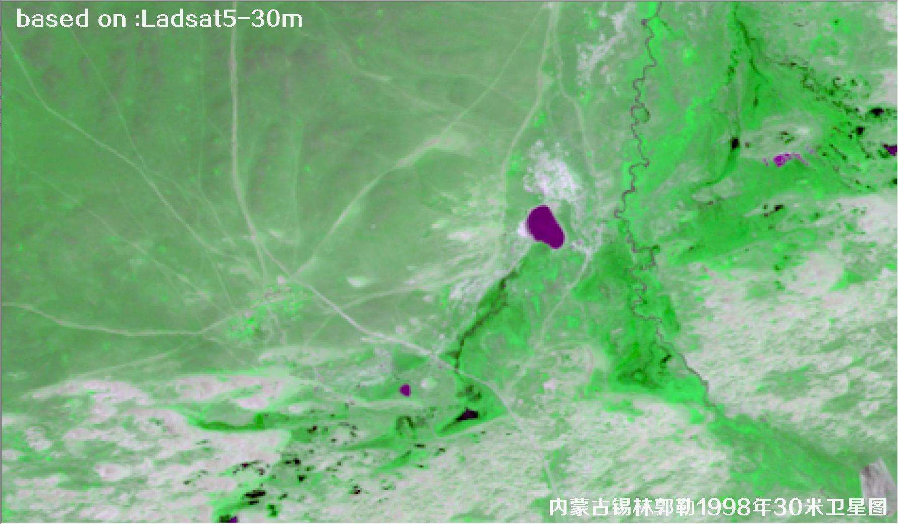
The images below show the 1998 30-metre resolution Landsat5 satellite imagery of Xilin Gol, Inner Mongolia.
Landsat5 (Land Satellite 5) was an Earth resources observation satellite jointly developed by NASA and the United States Geological Survey (USGS), launched from Vandenberg Air Force Base on 1 March 1984. Its design life was only three years, yet it went on to operate for 29 years before finally being retired in 2013, making it the longest-serving Earth observation satellite in human history — a true evergreen of the remote sensing world.
The primary sensor aboard Landsat5 was the TM (Thematic Mapper), capable of acquiring data in seven spectral bands spanning visible light, near-infrared, shortwave infrared and thermal infrared. That means it could not only reveal surface morphology, but also derive information on vegetation vigour, water body distribution and land surface temperature. Its multispectral resolution was exactly 30 metres, with thermal infrared bands at 120 metres, a single-scene swath of 185 kilometres and a revisit cycle of 16 days.
The imagery shown here is data captured by Landsat5 over the Xilin Gol region of Inner Mongolia in 1998. Affected by atmospheric conditions, solar elevation angle and sensor status at the time, the tones lean towards the subdued, but the texture and pattern of ground features remain highly complete — first-hand material for studying the surface conditions of that period.
🛰 1998 Xilin Gol Satellite Imagery Total: 9
 SAMPLE
 SAMPLE
 SAMPLE
 SAMPLE
 SAMPLE
 SAMPLE
 SAMPLE
 SAMPLE
 SAMPLE