⚡CB04A Satellite: Urumqi Power Tower 2-Meter Resolution Satellite Imagery
Urumqi, capital of Xinjiang at the foot of the Tianshan Mountains, stretches from downtown toward vast deserts. Transmission lines and power towers spread across this huge area, where manual line patrol is costly and inefficient.
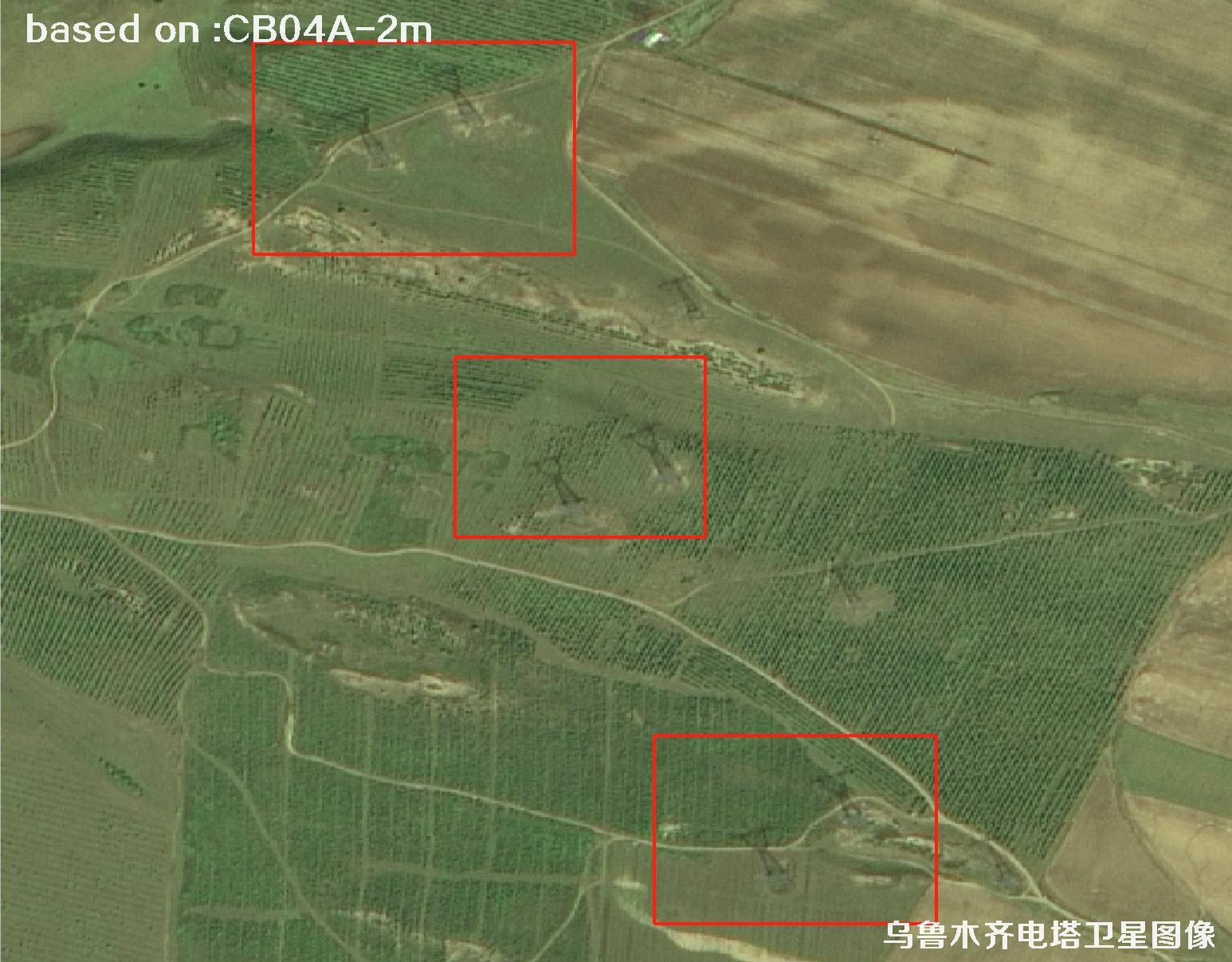
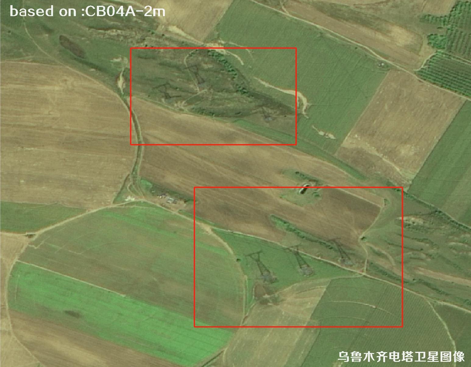
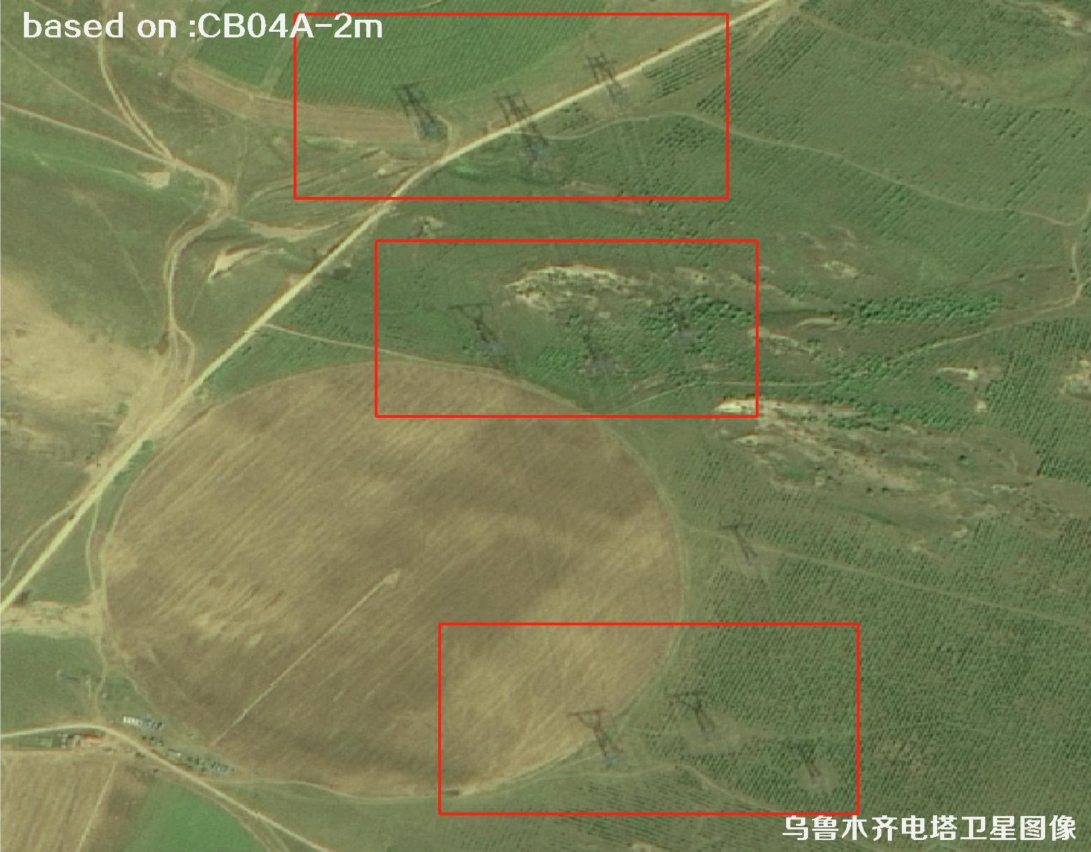
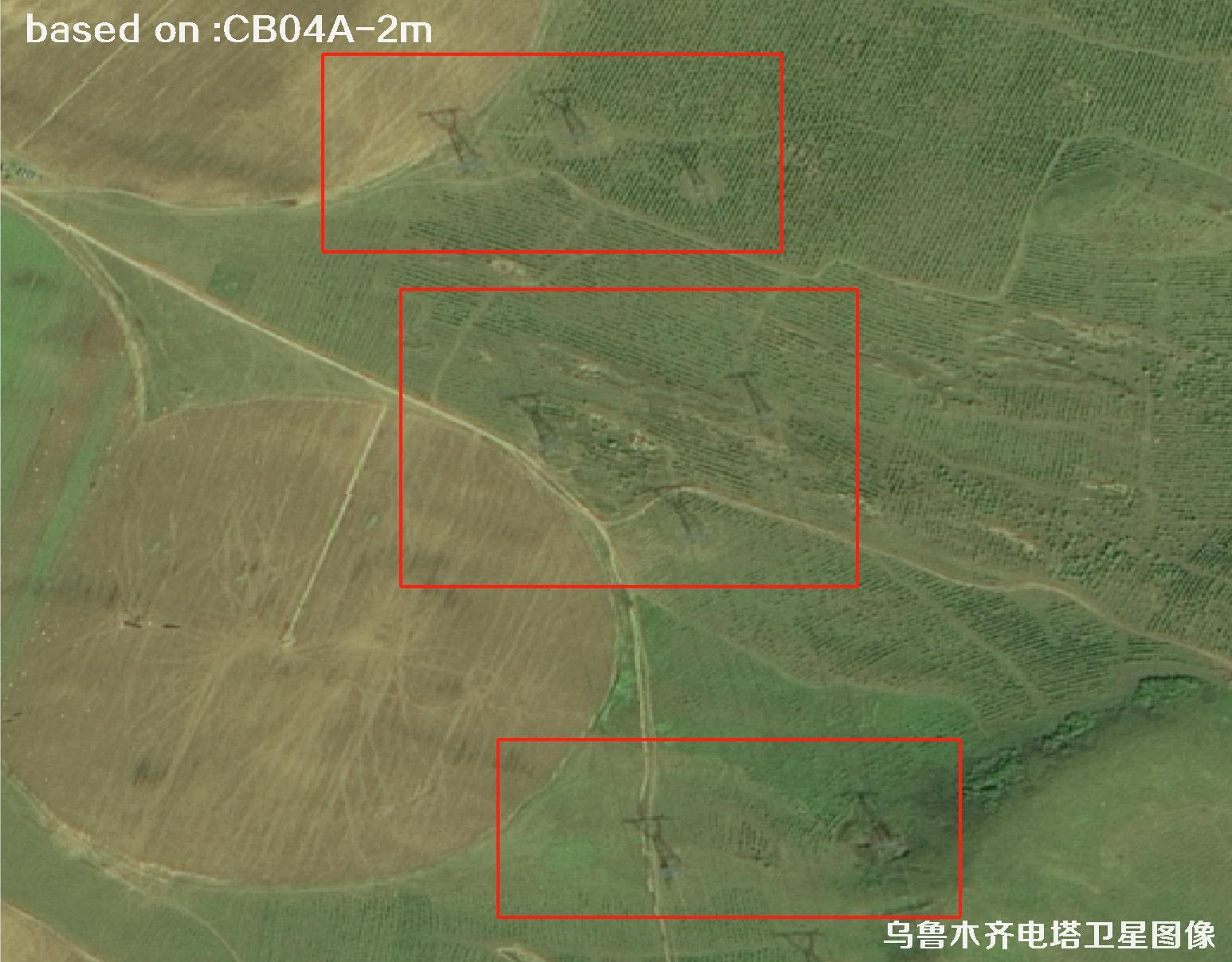
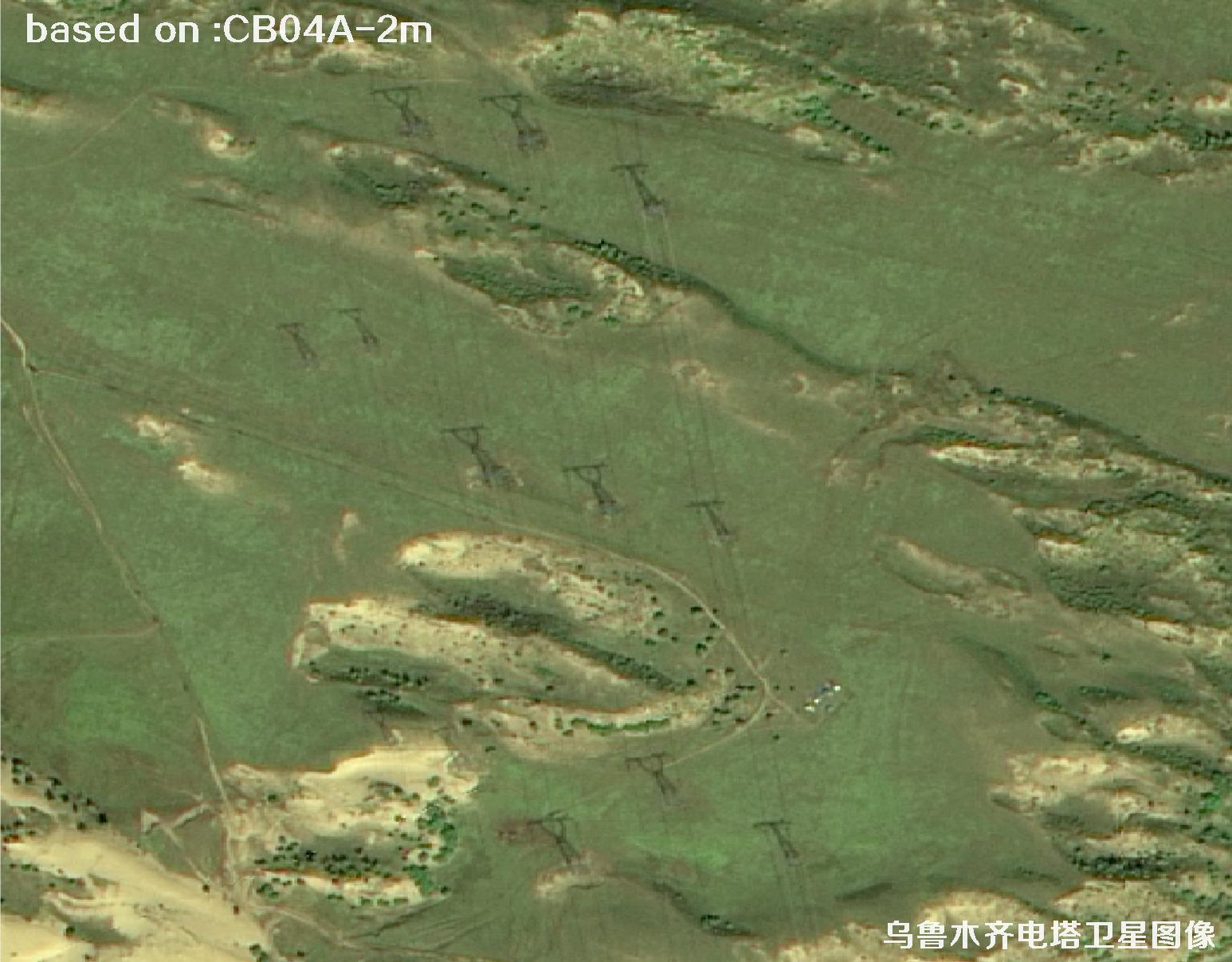
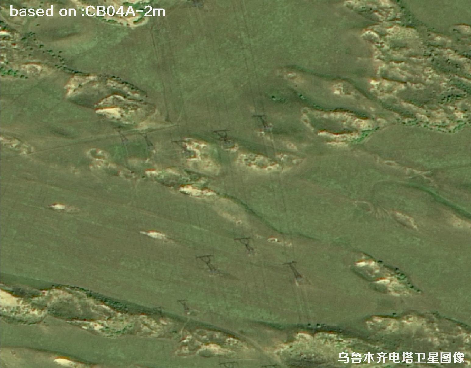
The 2-meter resolution CB04A satellite is a powerful helper for wide-area power inspection: one scene covers a large area, clearly showing tower locations, line corridors, terrain, vegetation and nearby buildings. It supports tower inventory checks, new line routing, corridor risk screening and rapid post-disaster assessment. Comparing images over time also reveals illegal construction and tree-line conflicts — "watch from the sky, check on the ground".
The following images are 2-meter resolution satellite images of Urumqi power towers captured by the CB04A satellite in 2025.
CB04A (CBERS-04A) is jointly developed by China and Brazil, a landmark of space cooperation. Operating in a sun-synchronous orbit, it carries a wide-field panchromatic-multispectral camera plus a wide-view imager, balancing resolution and large coverage with stable, abundant archives.
With natural colors and clear layers, CB04A is ideal for regional land surveys, urban sprawl monitoring, power-corridor planning and emergency assessment. In a vast, sparsely populated region like Urumqi, it makes power-facility inspection faster, cheaper and more complete.
🗼Urumqi Power Tower Satellite Imagery Total: 18 images
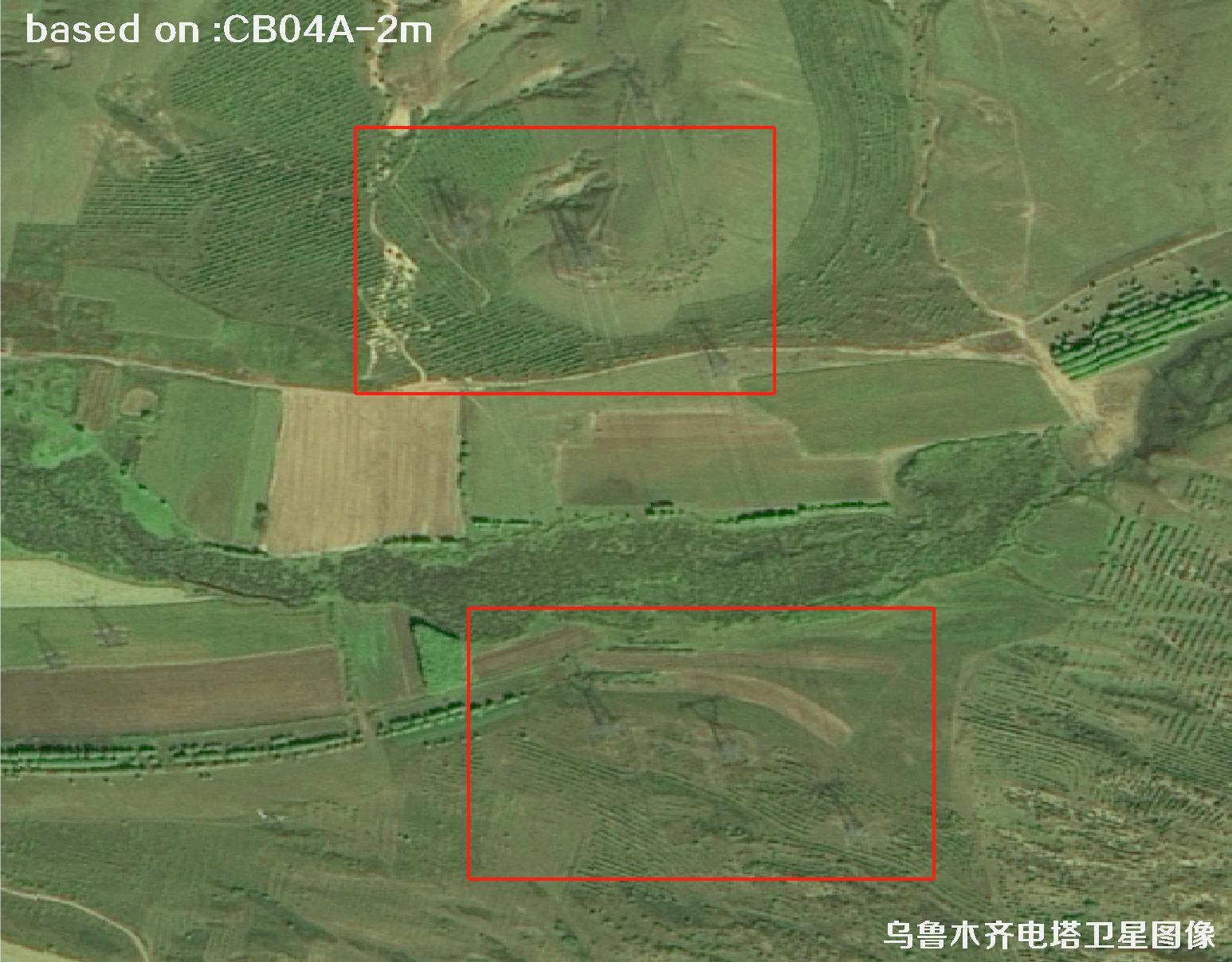 Sample
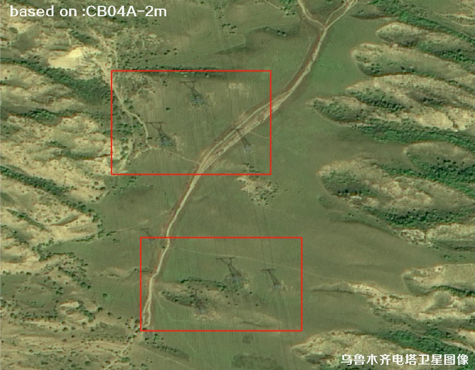 Sample
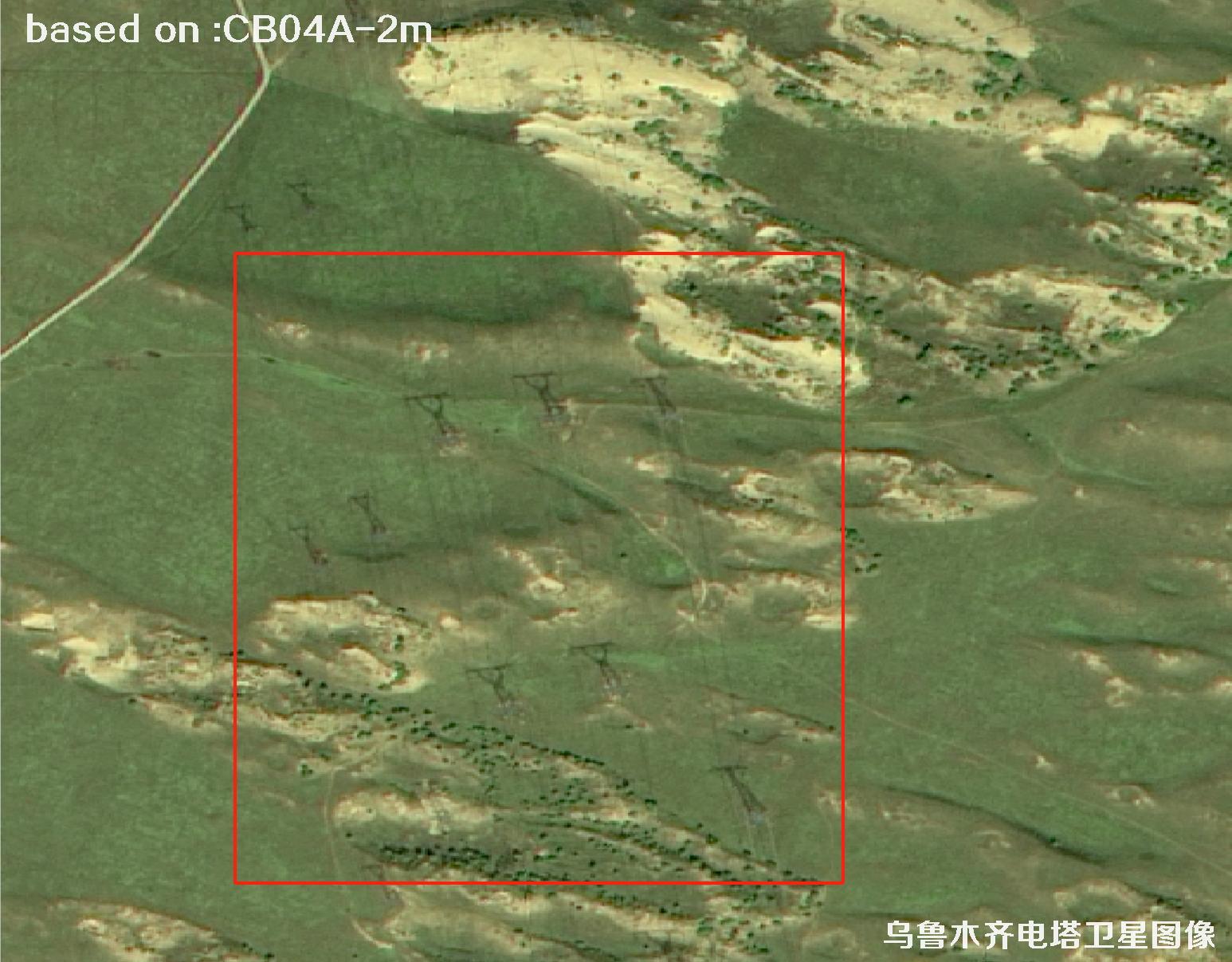 Sample
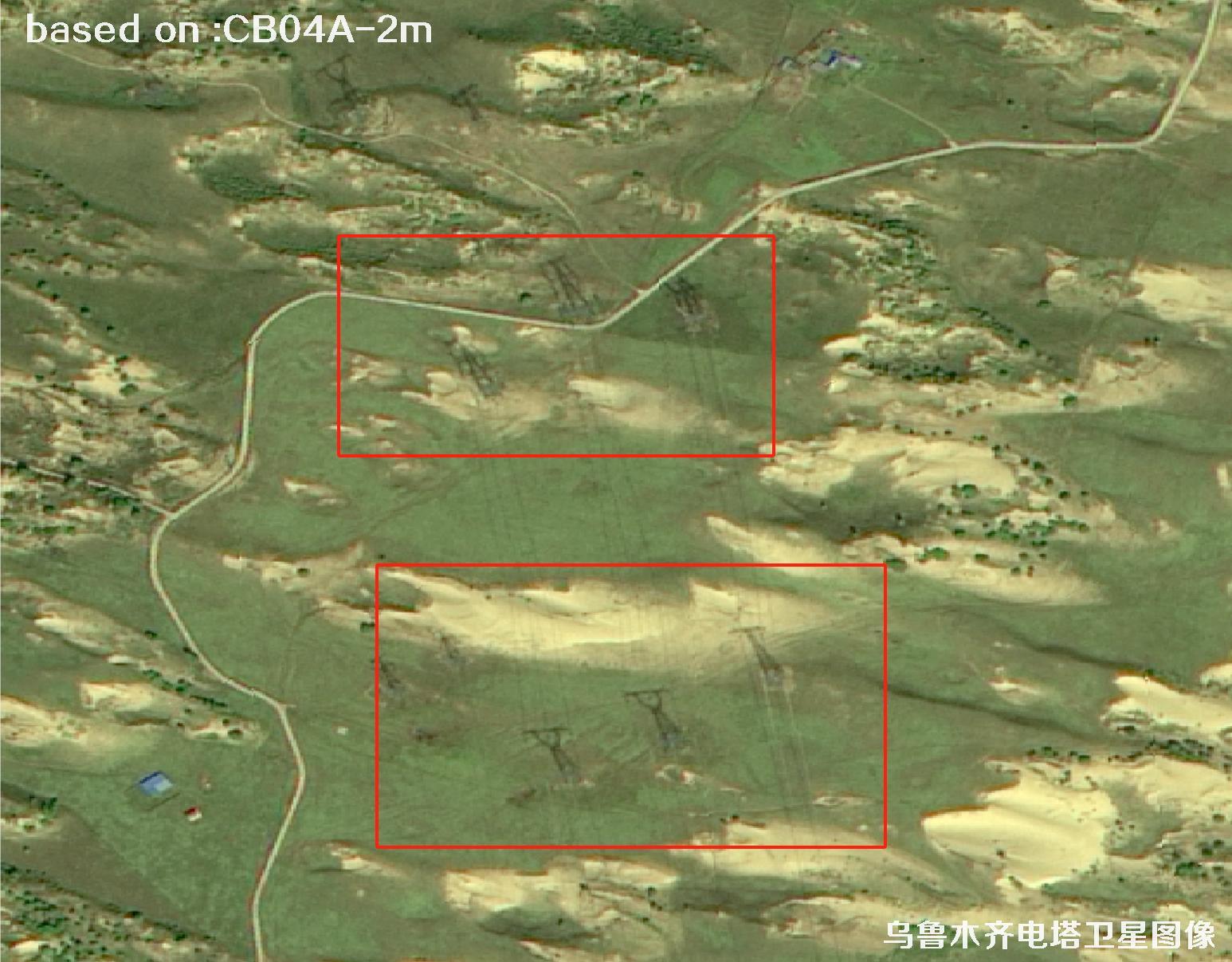 Sample
 Sample
 Sample
 Sample
 Sample
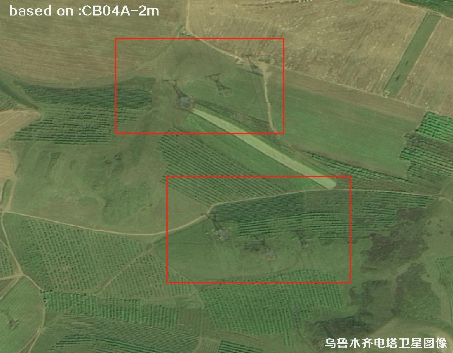 Sample
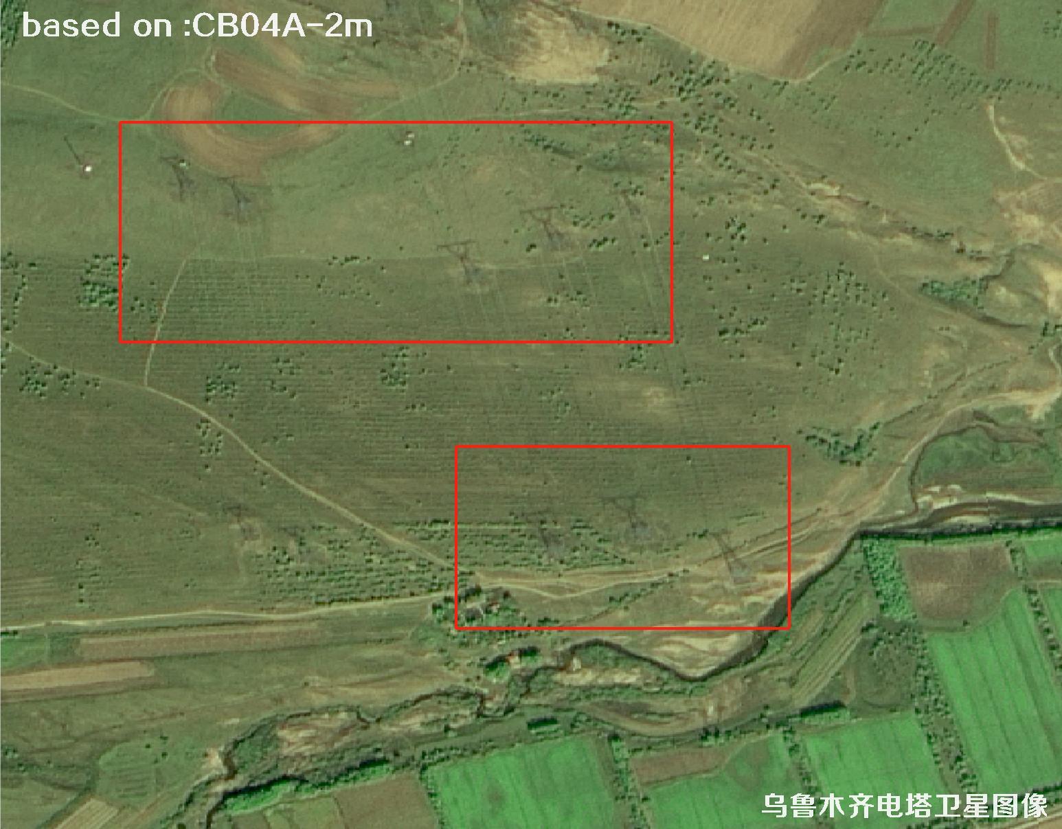 Sample
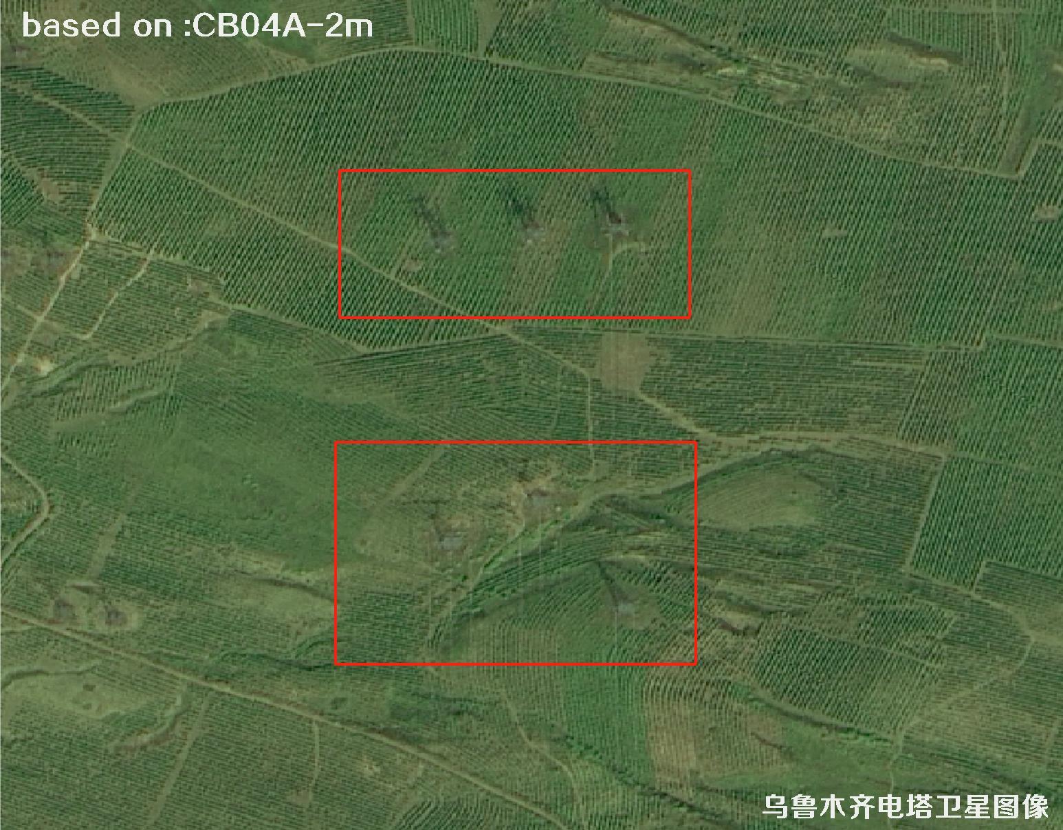 Sample
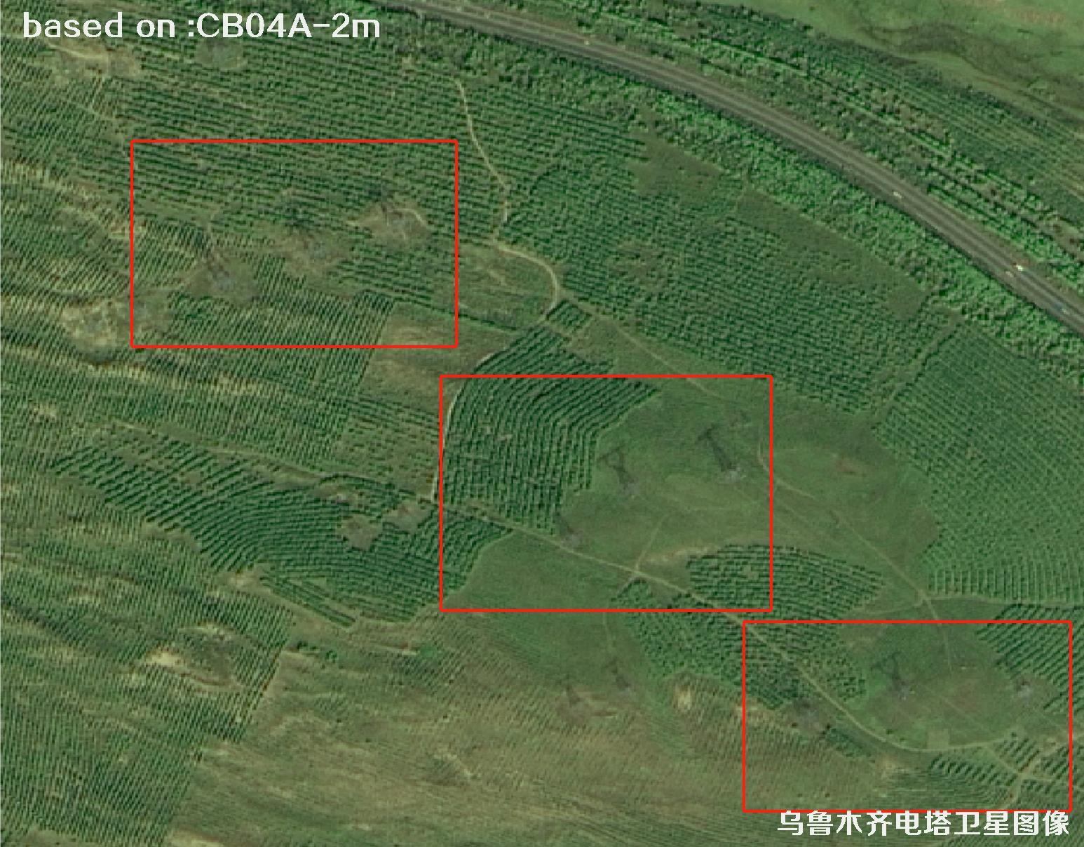 Sample
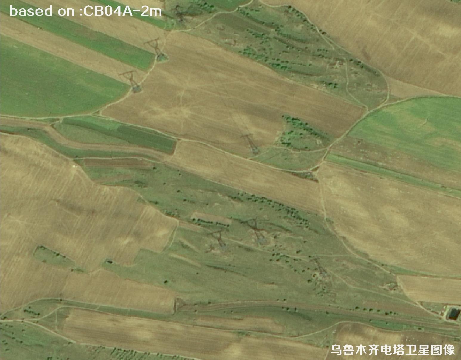 Sample
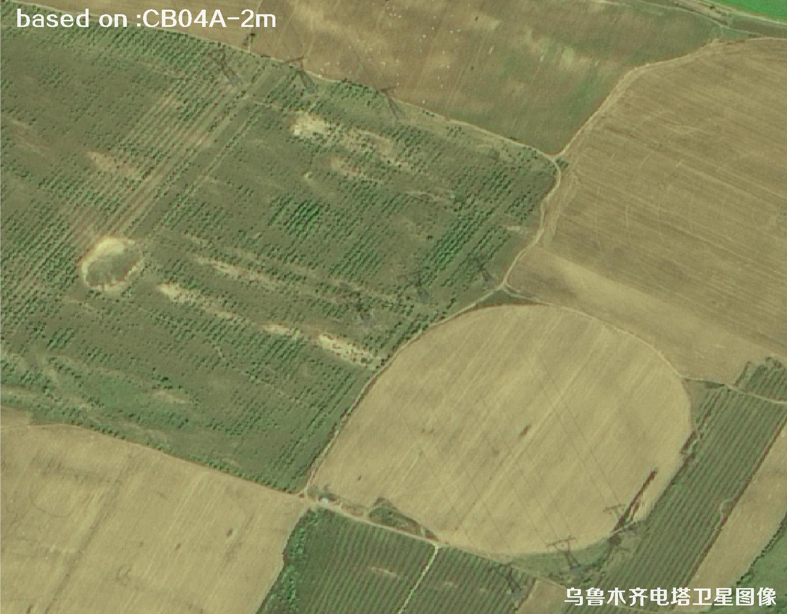 Sample
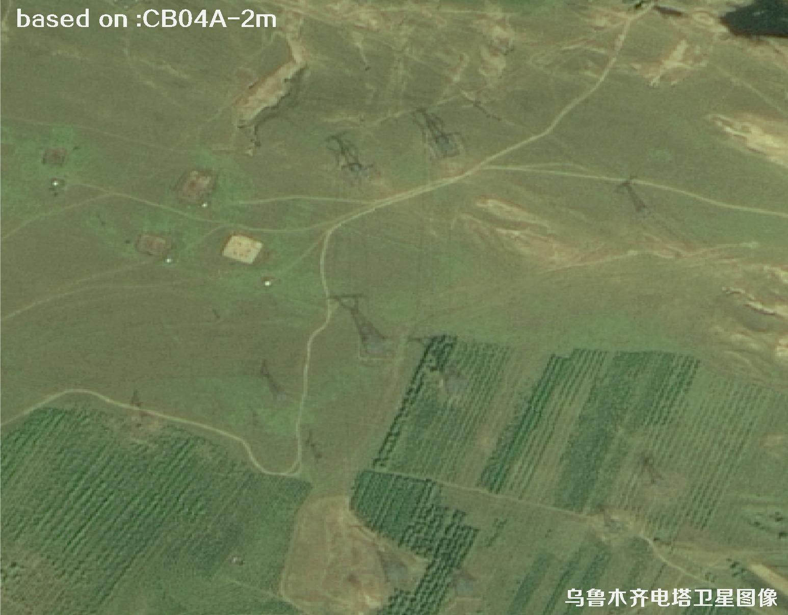 Sample
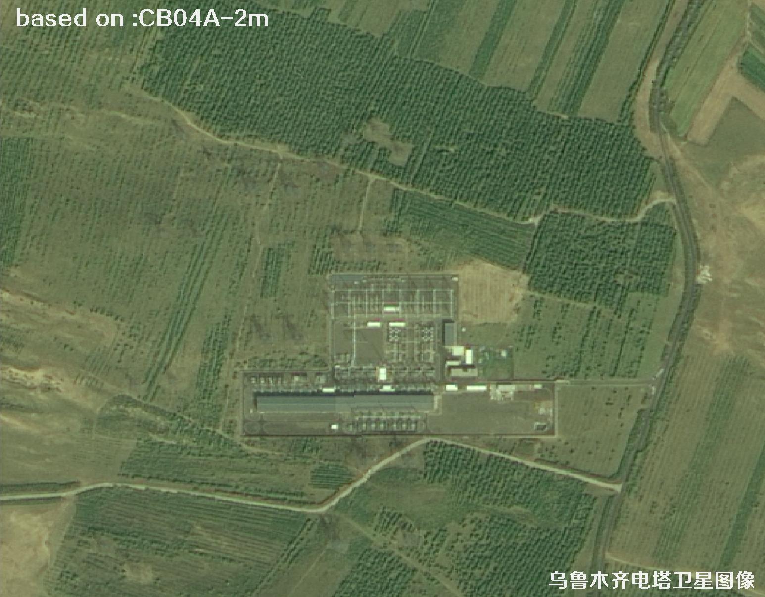 Sample
 Sample
 Sample