- 🛰️ Satellite: OrbView
- 📷 Acquired: 2005
- 📍 Location: Dalian, Liaoning, China
- 🗺️ Use: Historical satellite map
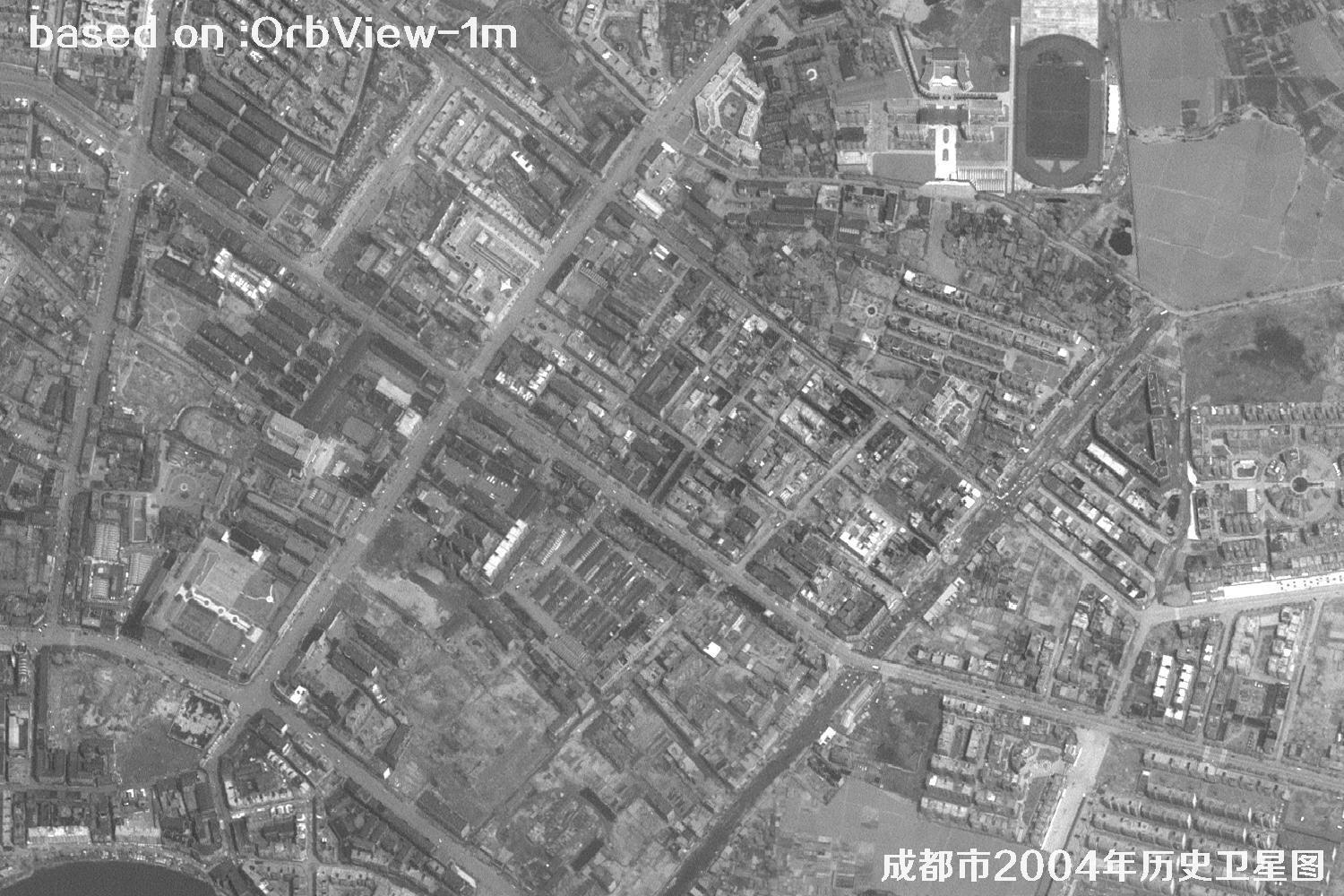
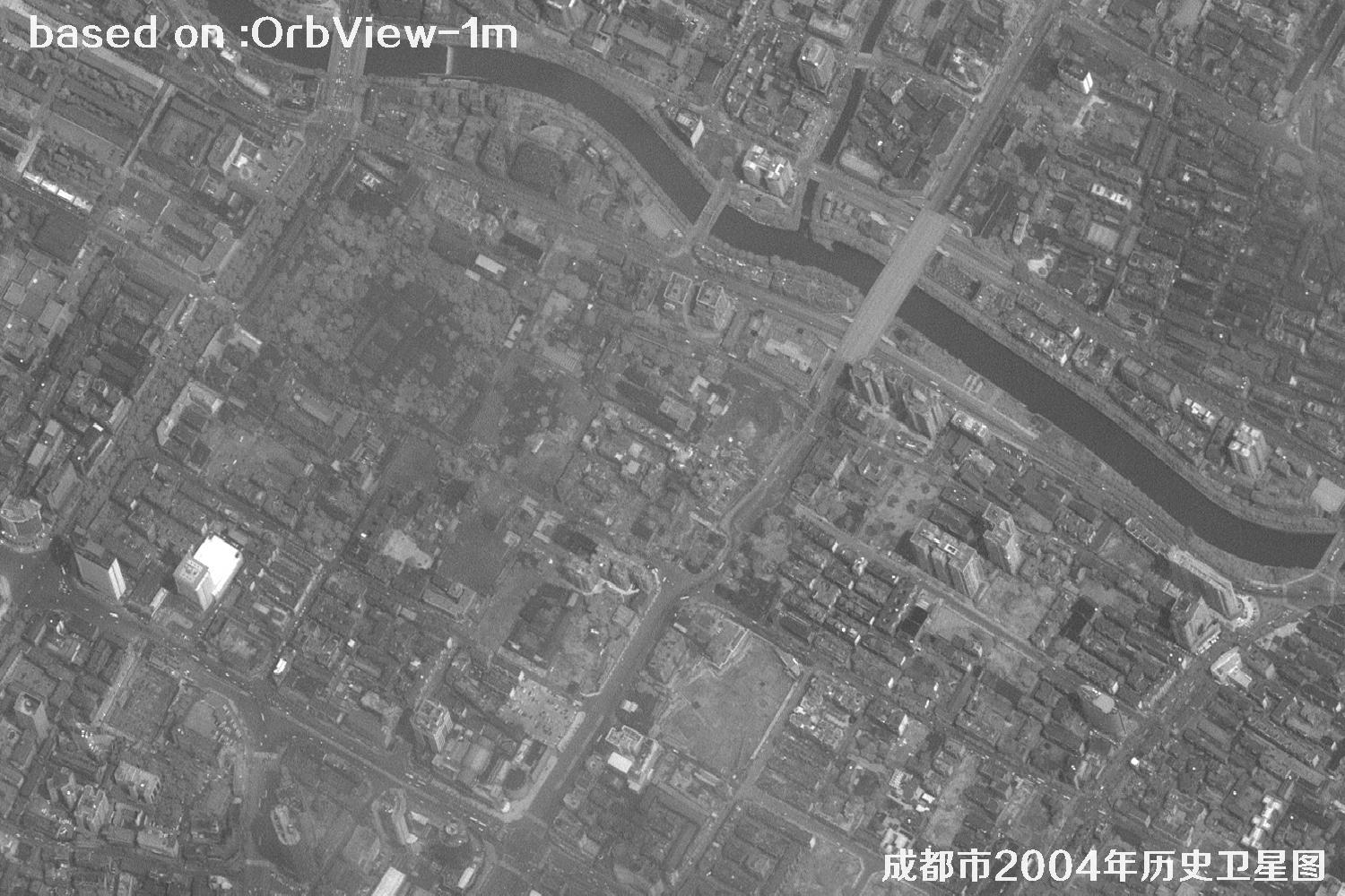
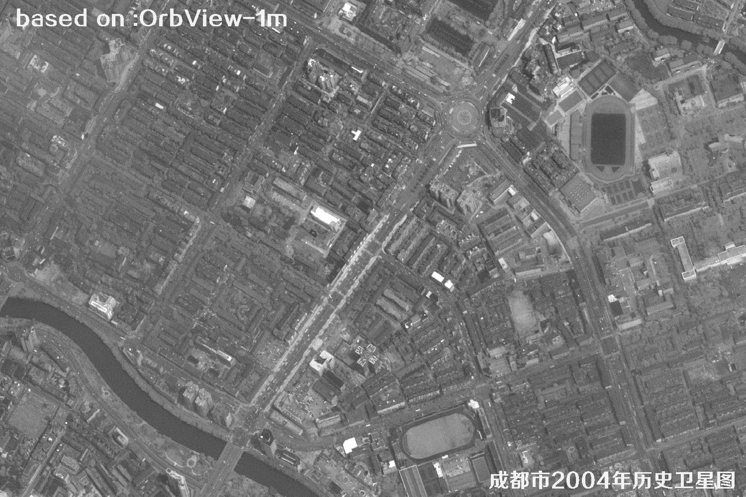
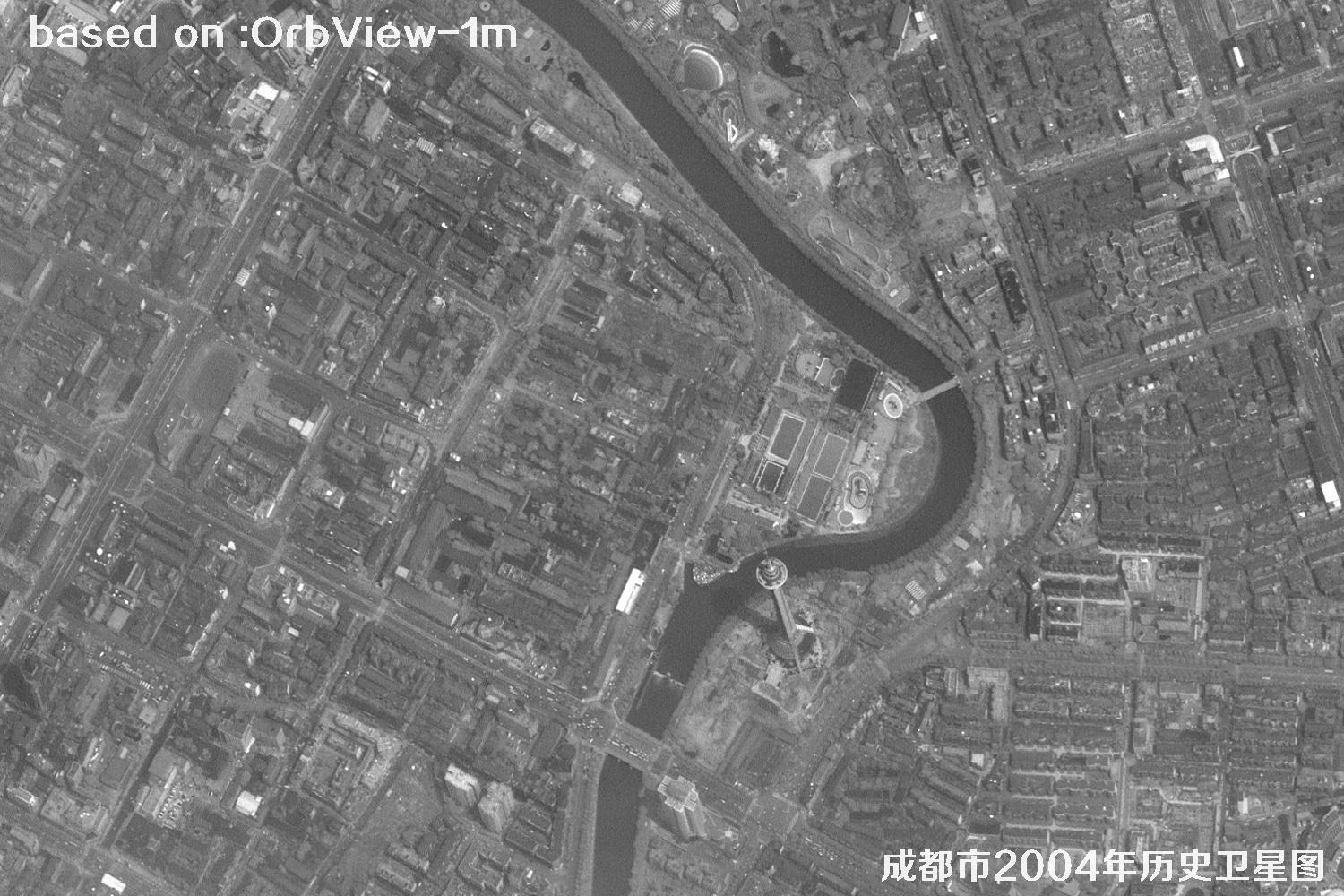
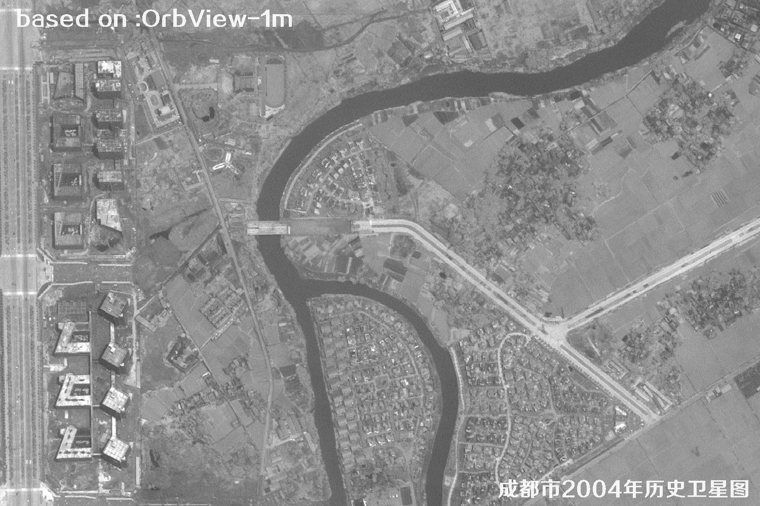
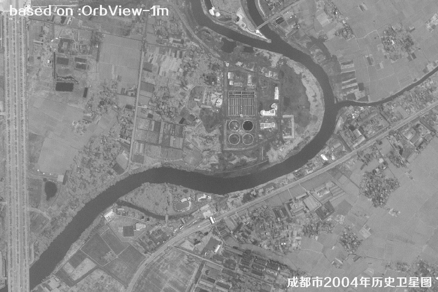
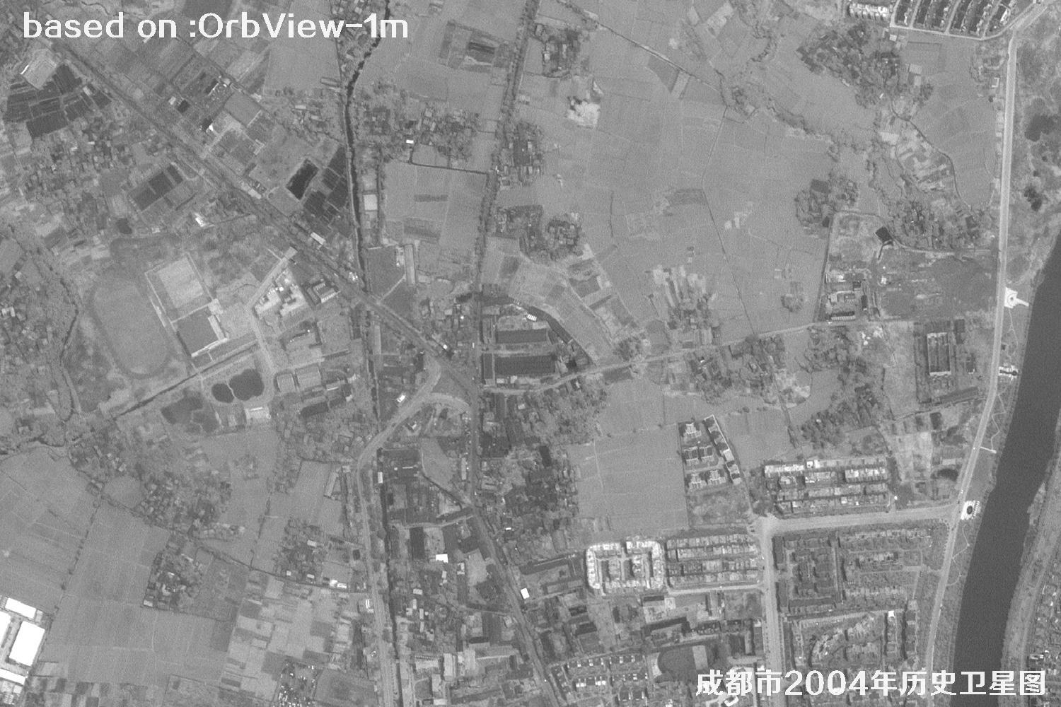
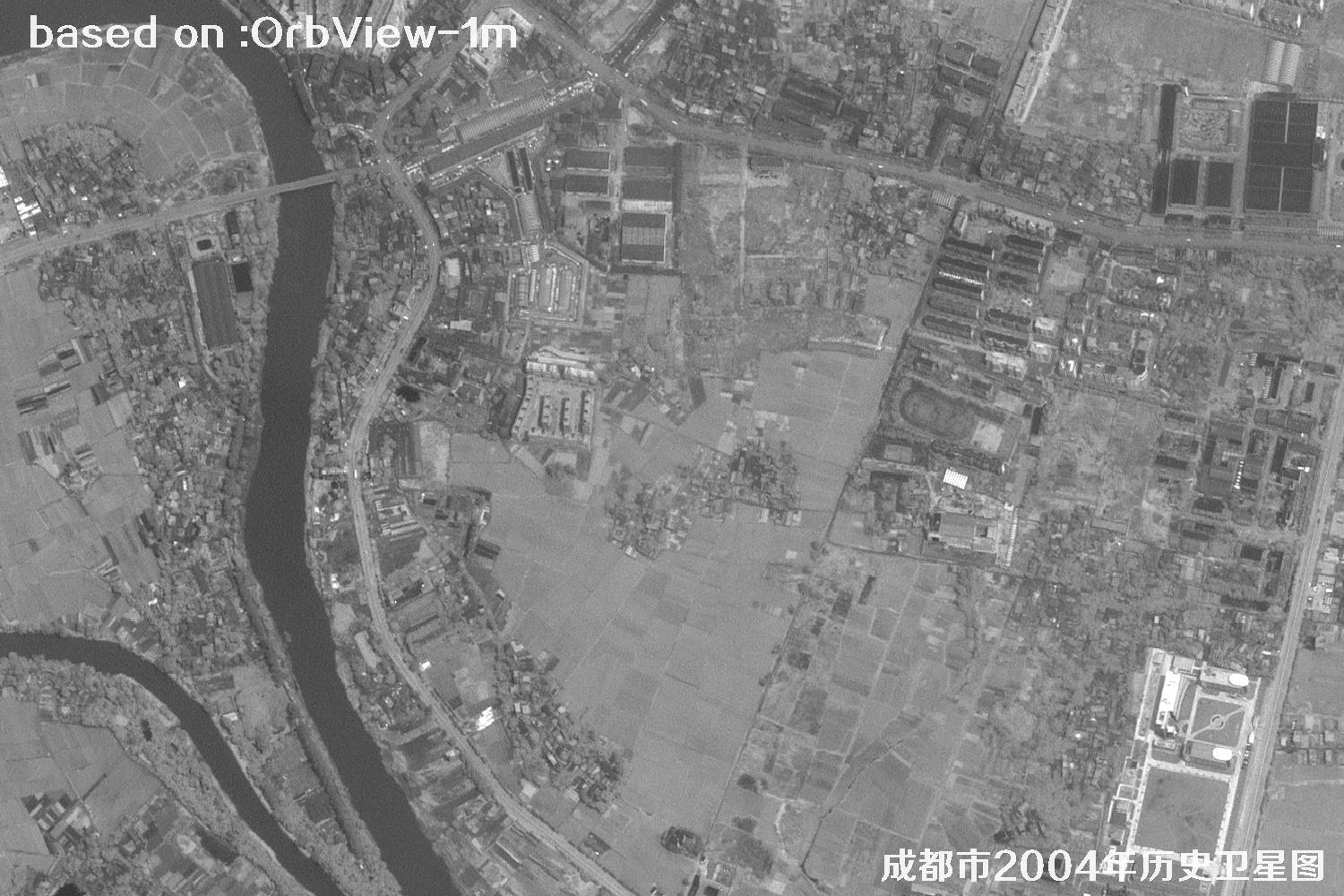
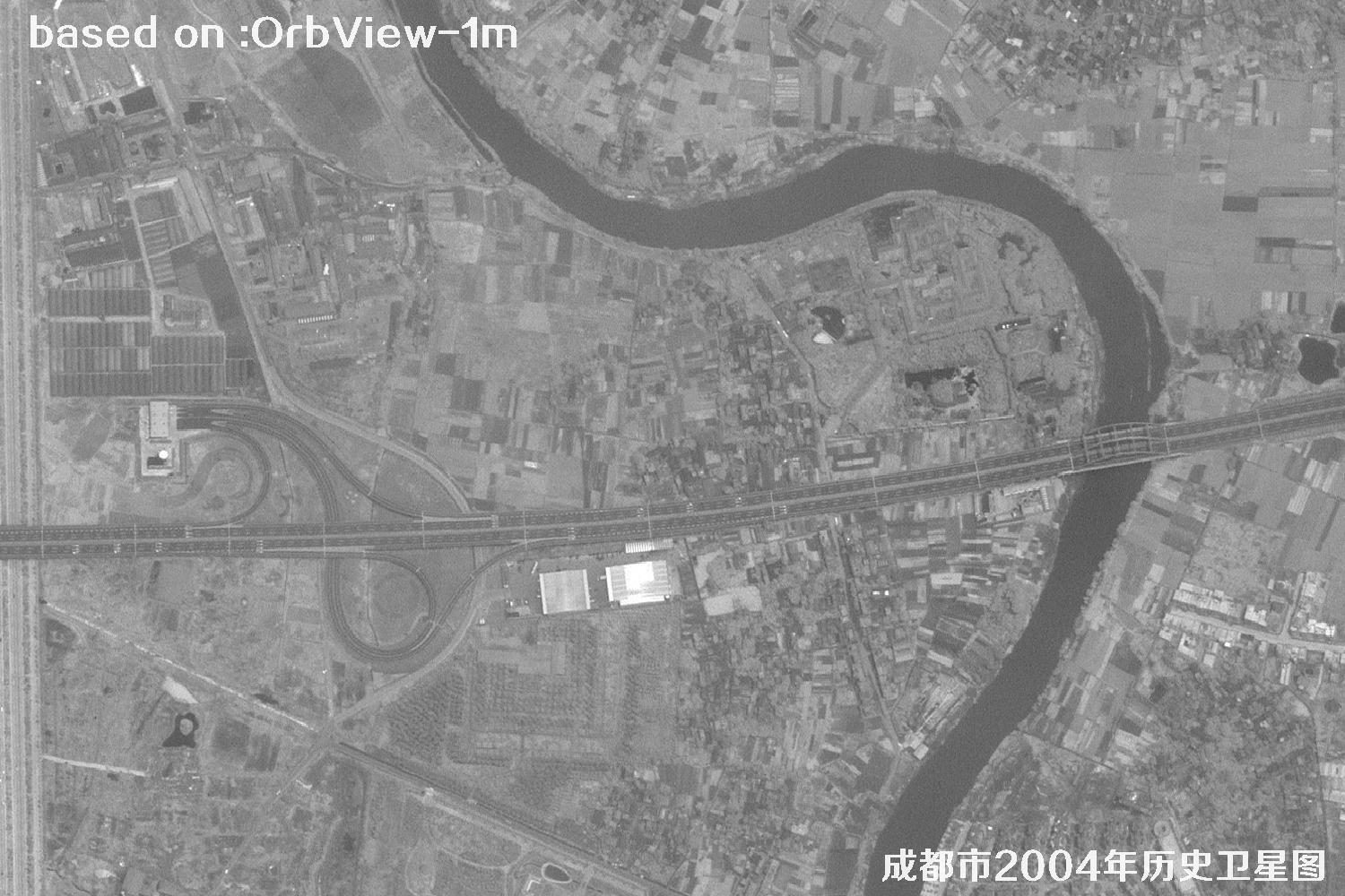
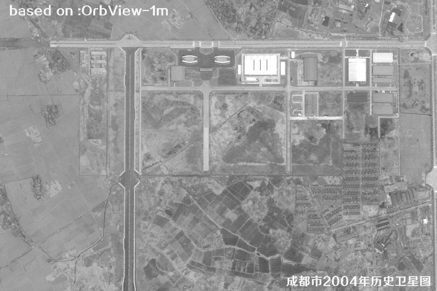
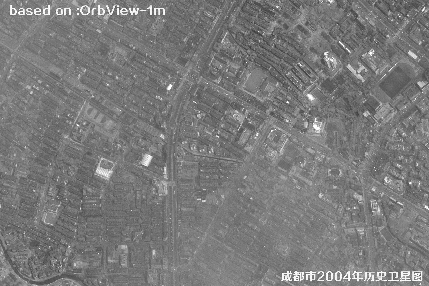
Dalian, a coastal city in southern Liaoning, China, sits where the Yellow Sea meets the Bohai Sea, ringed by water on three sides. Famous for its harbor, shipbuilding, software and tourism, with Zhongshan Square, Xinghai Square and the coastal road full of charm. In 2005 Dalian stood at the starting line of Northeast Revitalization: ore terminals in Dalian Port ran day and night, Panasonic and Intel projects landed in the Development Zone, the Xinghai Bay cross-sea bridge was still on paper, Laohutan and Fujiazhuang beaches were packed in summer, and Qingniwa and Xi'an Road malls sparkled, while the Software Park and Linghui university area buzzed with study. From above, peninsular hills interlocked with bays, the old town spread along the coast and new zones pushed inland — the moment when the Northern Pearl started to sprint, with drive in the sea breeze. The images below are 1-meter historical satellite images of Dalian captured by the OrbView satellite in 2005.
OrbView is a commercial high-resolution optical satellite series operated by OrbImage of the United States (now GeoEye). OrbView-3, launched in 2003, offers 1-m panchromatic and 4-m multispectral imagery with an 8-km swath and less than 3-day revisit. It captured precious views of northeast harbor cities around 2005 — a space witness to Dalian's transformation.
| 🎯 Resolution | 1-m pan / 4-m MS, Dalian harbor, blocks and coastal corridors clearly visible |
|---|---|
| 🚀 Launch date | June 26, 2003 (OrbView-3, Pegasus XL rocket) |
| 🛰️ Orbit | 470 km sun-synchronous orbit |
| 📡 Swath / Revisit | 8 km / about 3 days |
| 📷 Bands | Pan + blue, green, red, NIR |
| 🗺️ Archive | 2003–2007 global archive, including Dalian 2005 |
⚓ Dalian 2005 Satellite Images Total: 15 shown
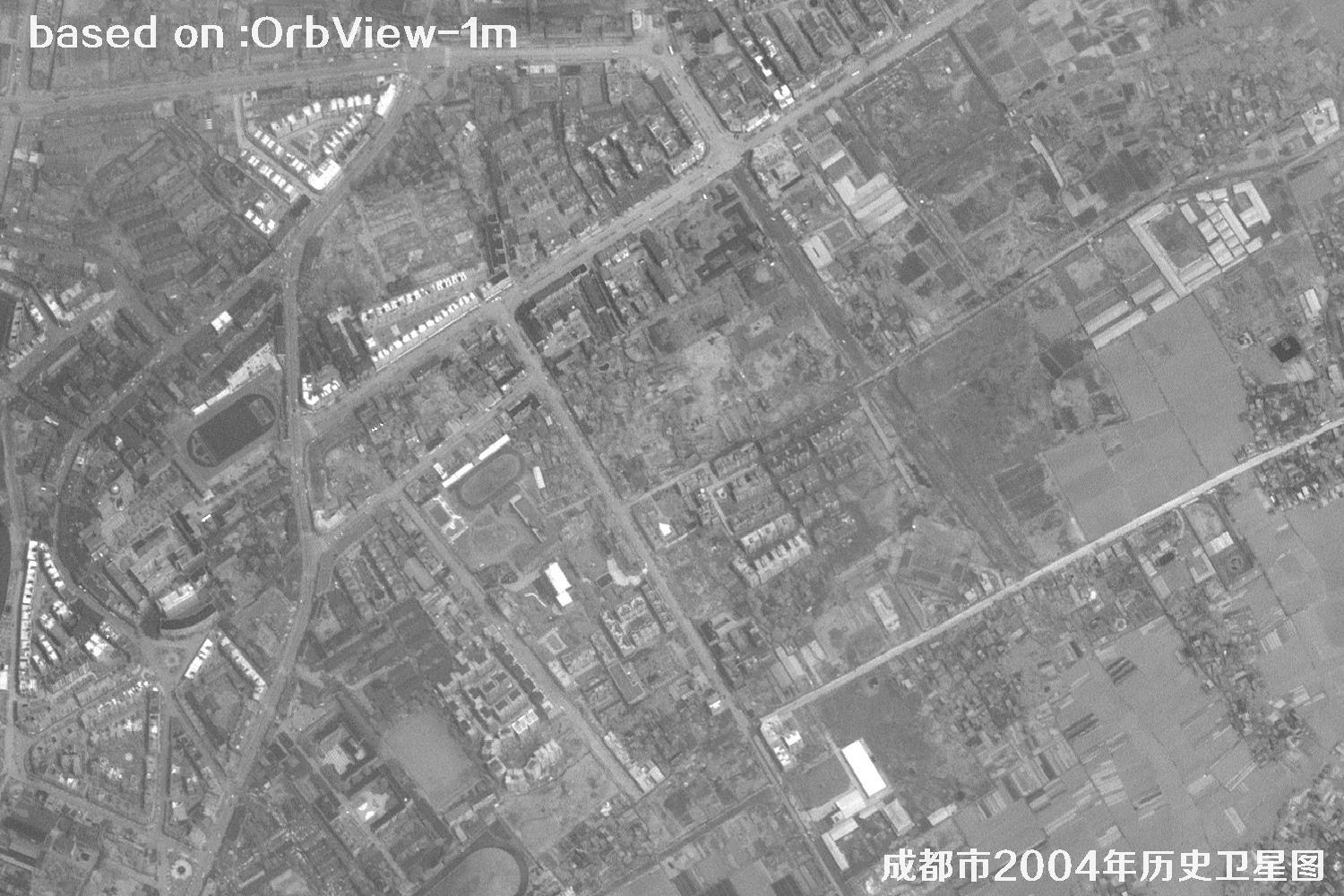 Sample
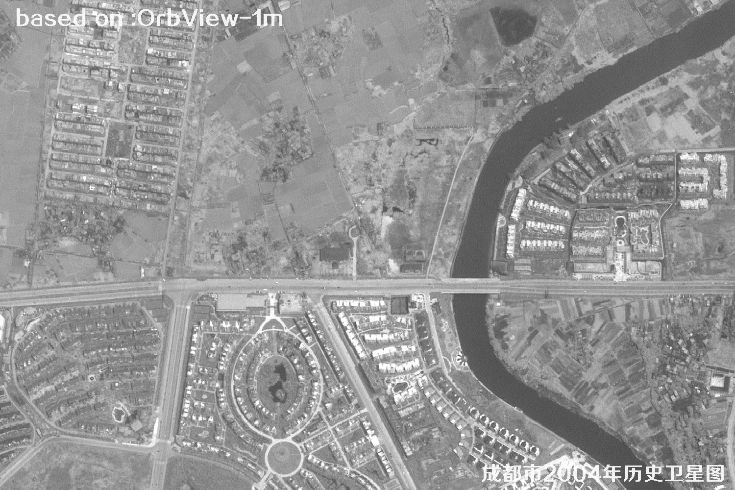 Sample
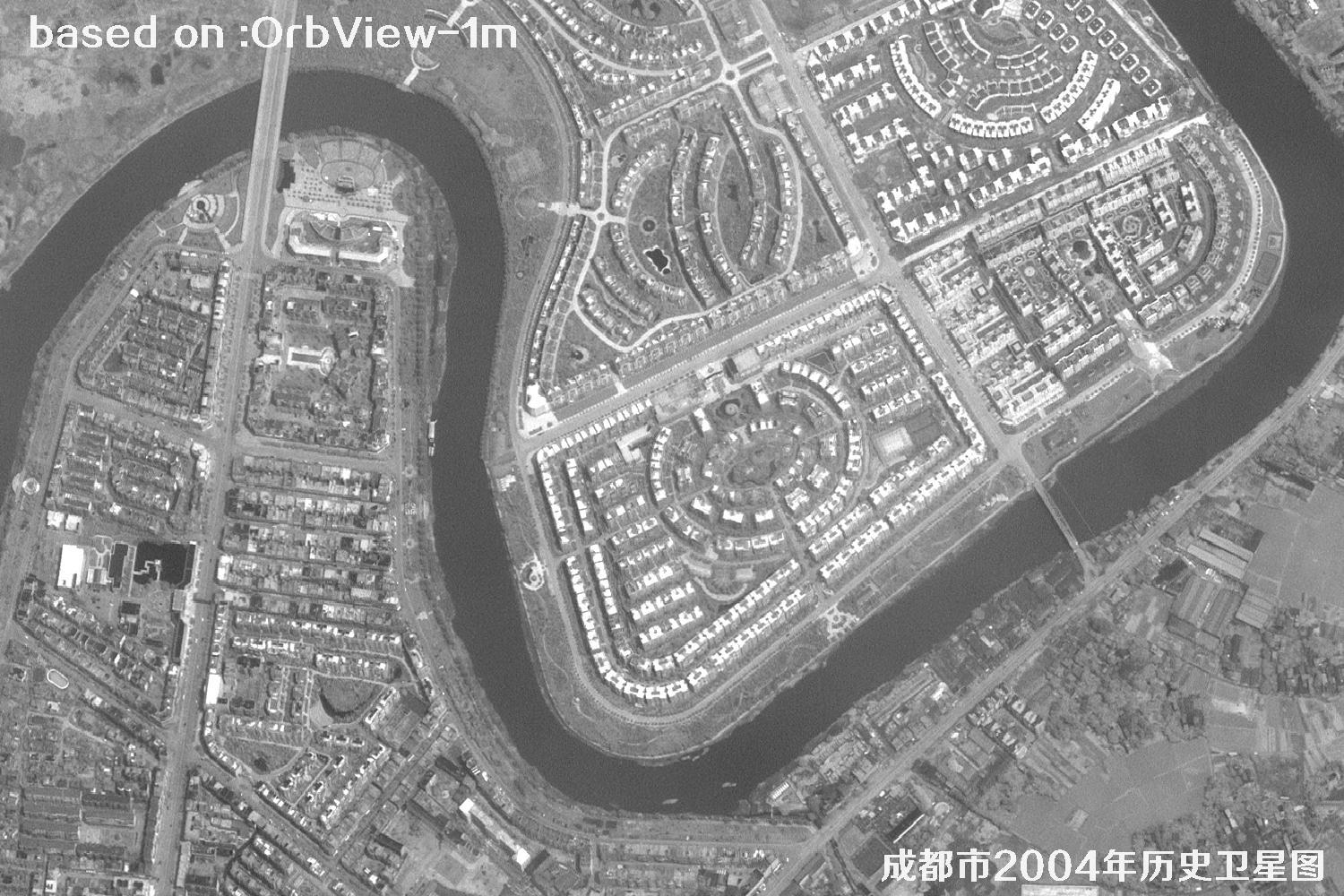 Sample
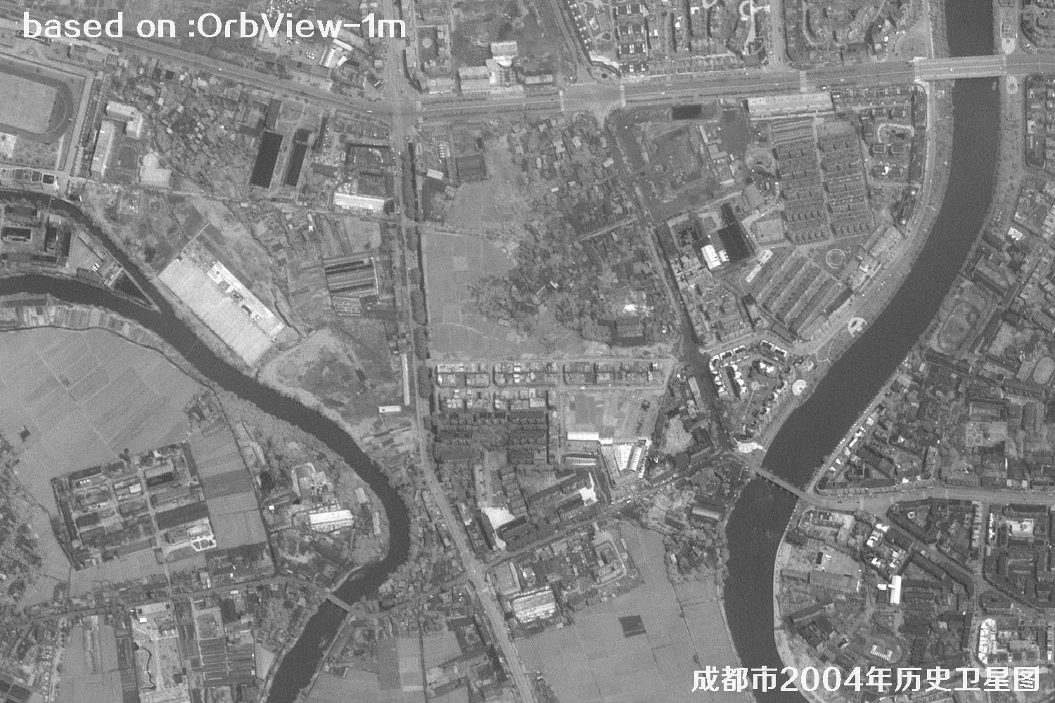 Sample
 Sample
 Sample
 Sample
 Sample
 Sample
 Sample
 Sample
 Sample
 Sample
 Sample
 Sample