HISTORICAL IMAGERY · DATA BRIEF
🛰️ 2008 Historical Satellite Imagery Consultation Report for Daqing, Heilongjiang
A practical overview of imagery searched for the requested Daqing dates, available satellite data and visual references for case-evidence work.
REQUESTED PERIODAugust 2008
AREA OF INTERESTDaqing, Heilongjiang
INTENDED USECase evidence
About Daqing
Daqing lies in western Heilongjiang Province and is widely known for the oil industry that shaped its growth. The city sits on the broad Songnen Plain, where wetlands and lakes meet farmland, settlements and urban development. Around 2008, expansion of residential areas, transport links and oilfield infrastructure continued across the region. Its landscape includes a concentrated urban core as well as villages, fields, woodland and energy facilities. The seasons are distinct, and summer brings dense vegetation and conspicuous wetlands. When reviewing historical imagery, the acquisition date, exact location and changes in land cover should all be considered to interpret roads, buildings and other ground features reliably.
Request & search notes
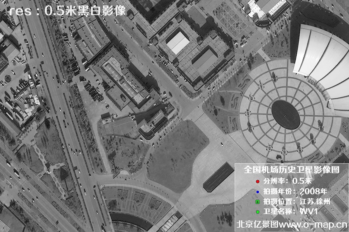
The results below relate to August 2008 in Daqing, Heilongjiang. Historical archives for 2008 offer fewer high-resolution options than recent collections. The search prioritizes imagery at approximately 0.5–1 m resolution, with 5–10 m data considered as a fallback. The satellites of interest are WV1, QB, Kompsat2 and ALOS. The queried coverage over the target area is reported as cloud-free. The final five images below illustrate the appearance of historical imagery. Please verify acquisition dates, target dimensions and interpretation requirements before relying on any scene for a specific evidentiary purpose.
2008 Satellite Imagery Search Results for Daqing
Please note: These are highly compressed preview images from the query results. They are intended only to indicate data quality and cloud coverage. Satellite abbreviations in the listing refer to satellite names. Before purchase, review the relevant sample to assess whether its image detail suits your needs; select “More” to view additional samples.
Satellite Samples for This Request
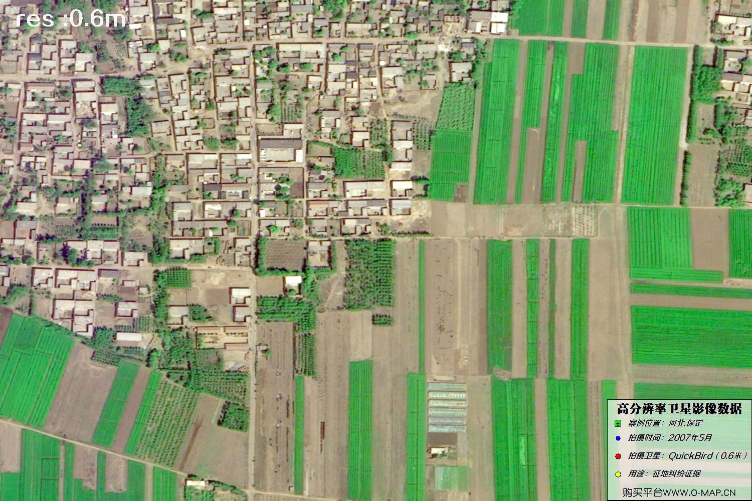
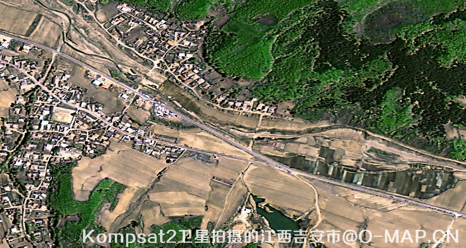
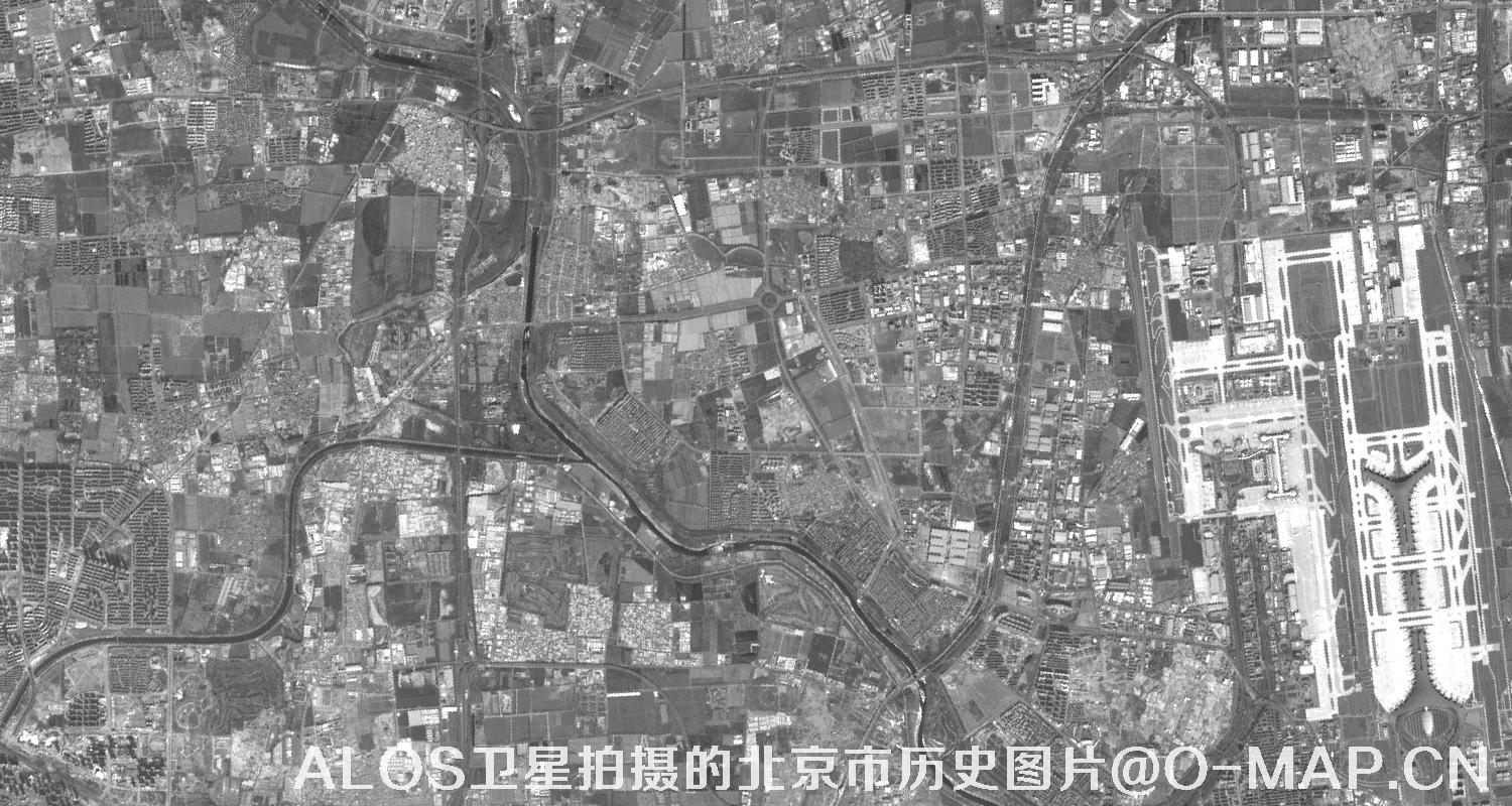
The actual level of detail in satellite imagery varies with weather, season, sun angle, viewing geometry, target size and image processing. These samples are a visual guide only and may not represent the quality of every scene. Please assess the specific date, location and delivered data before making a decision.