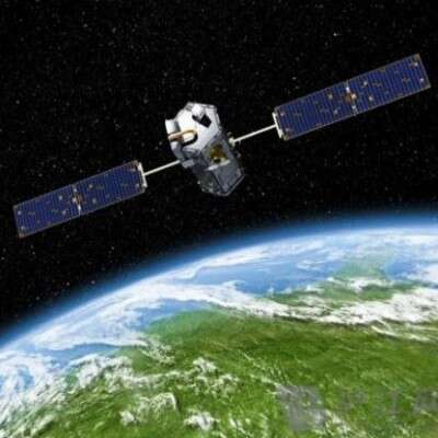
GF7 Satellite - Power Transmission Tower Satellite Imagery
GF7 and the Power Industry
The Gaofen-7 satellite is a sub-meter high-resolution optical remote sensing and mapping satellite. It plays an important role in the power industry, especially in inspection and evidence collection.
For power inspections, Gaofen-7 acquires clear surface imagery to quickly and efficiently monitor the environment along power lines. For example, it can help identify vegetation growth in transmission corridors and buildings encroaching on the safety clearance of lines, preventing potential hazards to power supply security. In addition, satellite imagery covers a large area with a relatively high revisit frequency, making it ideal for non-contact inspection of power facilities in remote areas, saving labor and time costs.
For evidence collection of violations, Gaofen-7 provides objective and authoritative evidence of illegal occupation of power protection zones and unauthorized construction with its HD imagery. The accuracy and spatio-temporal information of the imagery provide reliable enforcement references for power authorities, helping improve management efficiency and lawful handling.
[About this case:] This article presents the power tower facility satellite imagery captured by the GF7 satellite in Zhuhai City, Guangdong Province. [To purchase satellite imagery] Please contact the staff of Beijing Yijingtu, leave us a message online, or click Online Search to view more satellite project cases.
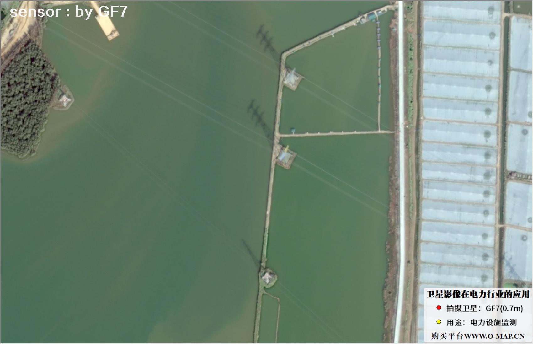
Fig. 1, 0.7m GF7 satellite image of power tower facilities
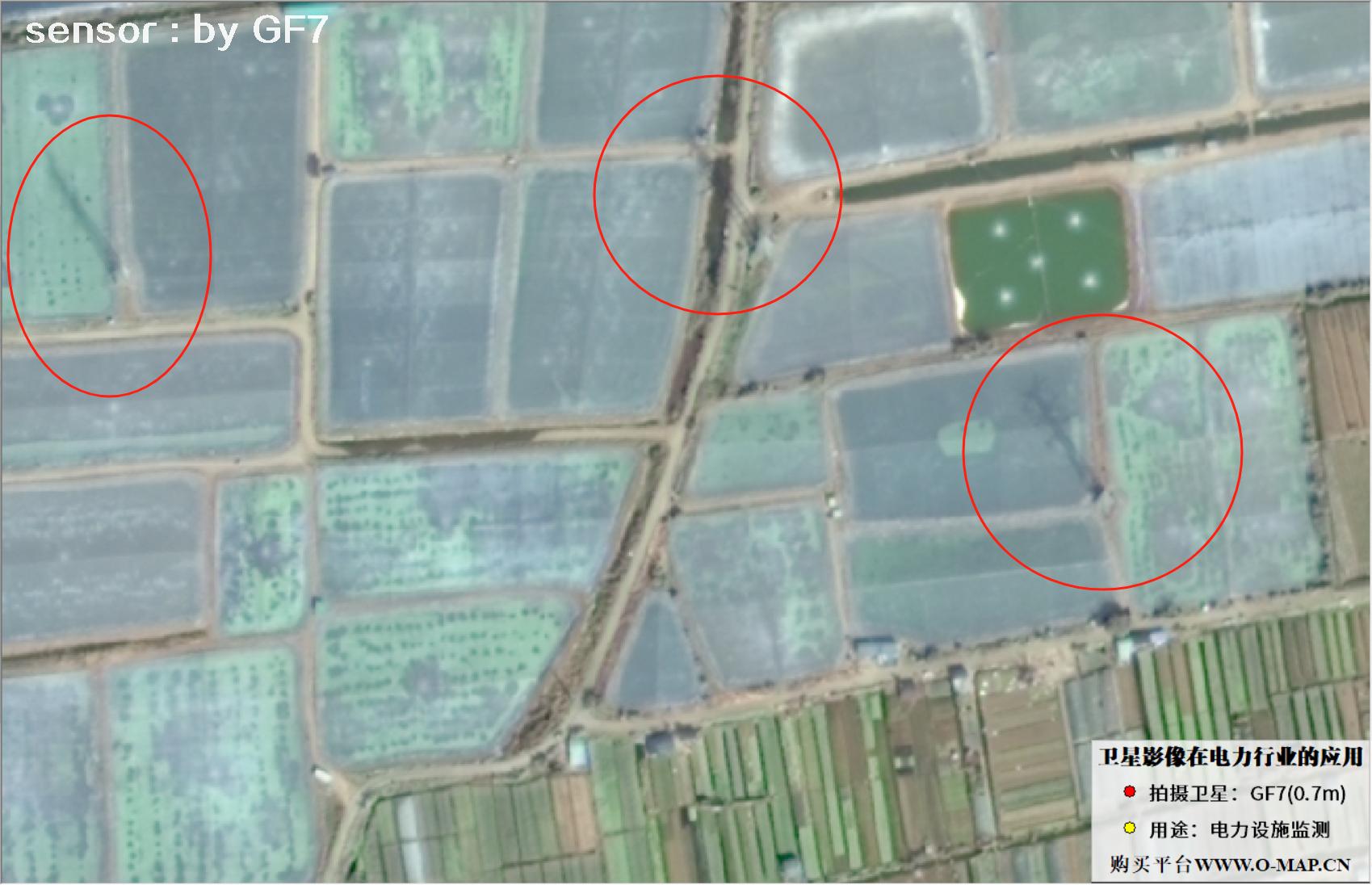
Fig. 2, 0.7m GF7 satellite image of power tower facilities
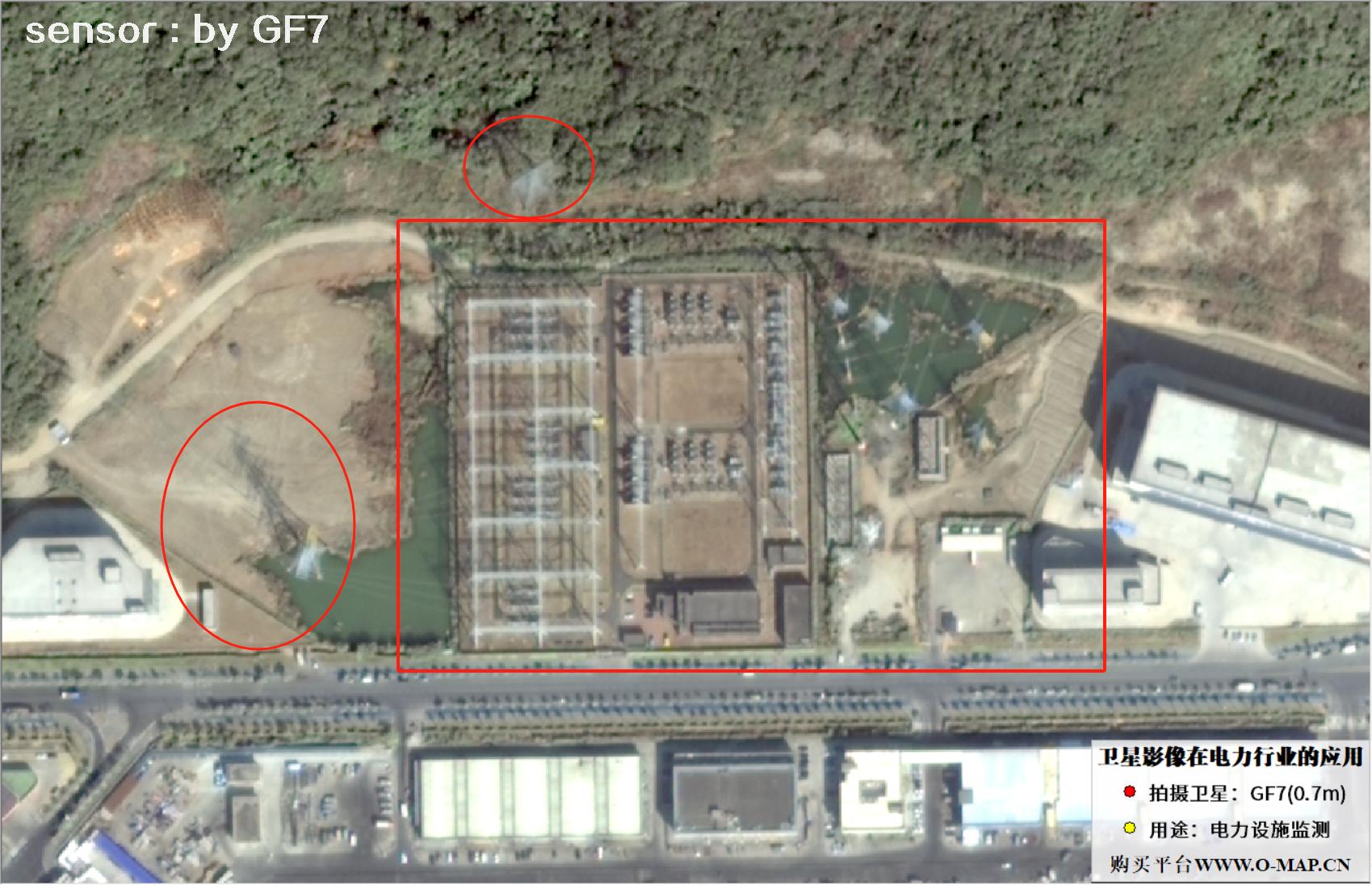
Fig. 3, 0.7m GF7 satellite image of power tower facilities
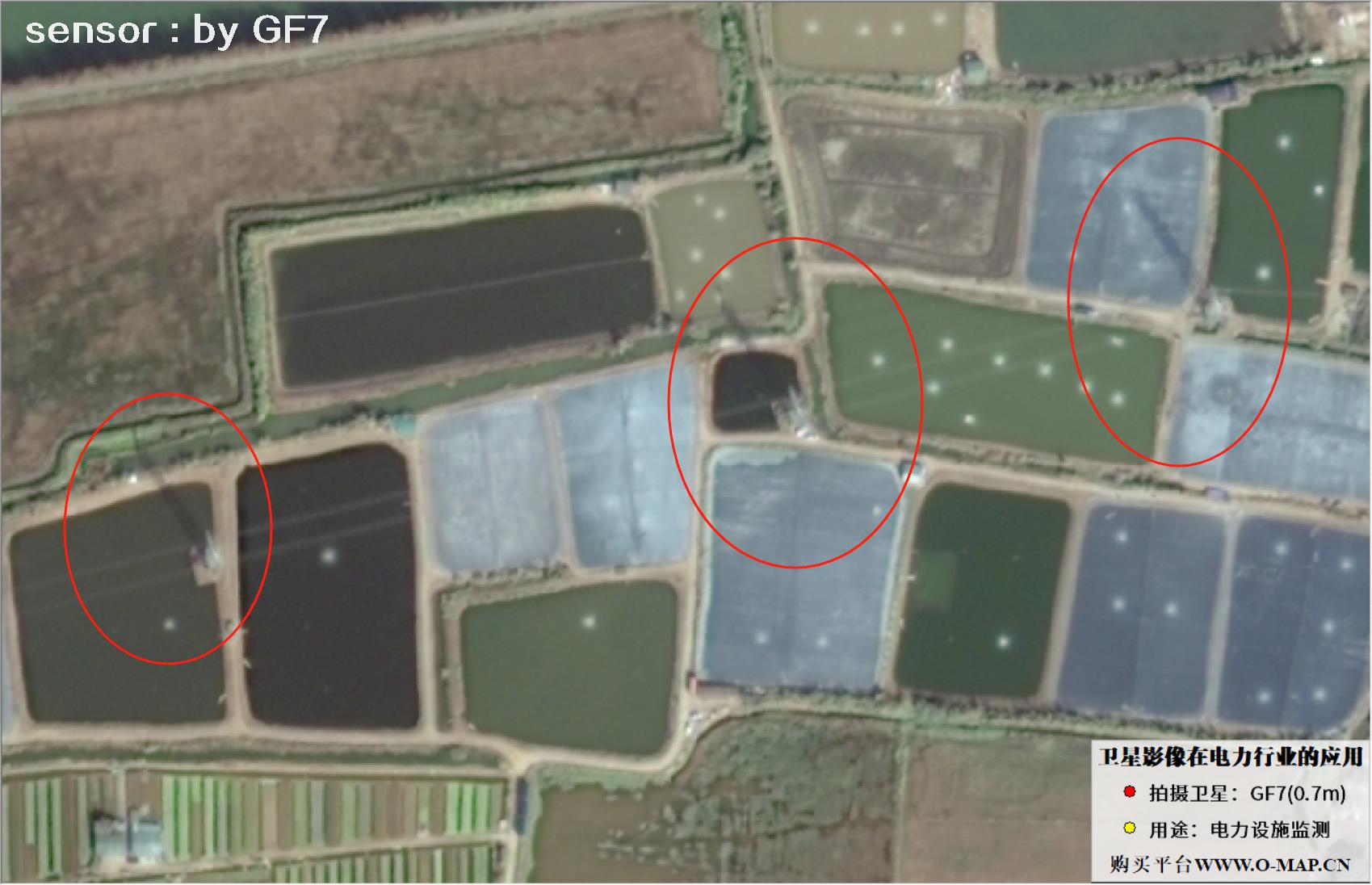
Fig. 4, 0.7m GF7 satellite image of power tower facilities
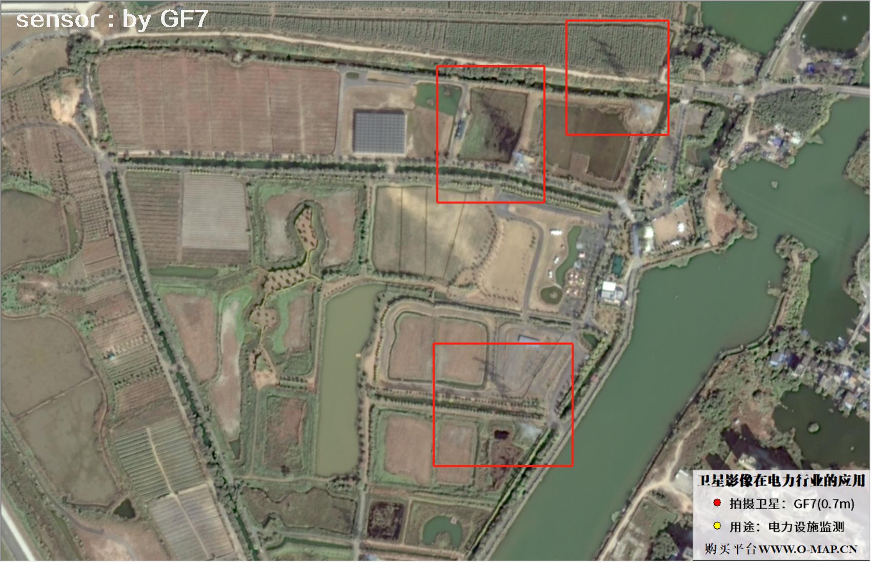
Fig. 5, 0.7m GF7 satellite image of power tower facilities
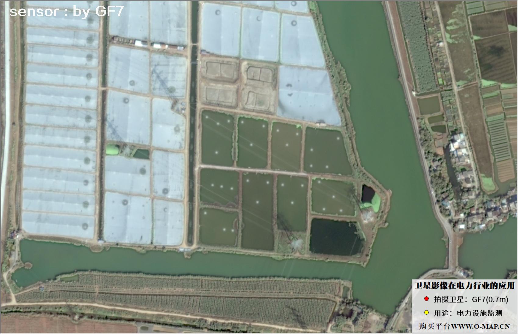
Fig. 6, 0.7m GF7 satellite image of power tower facilities
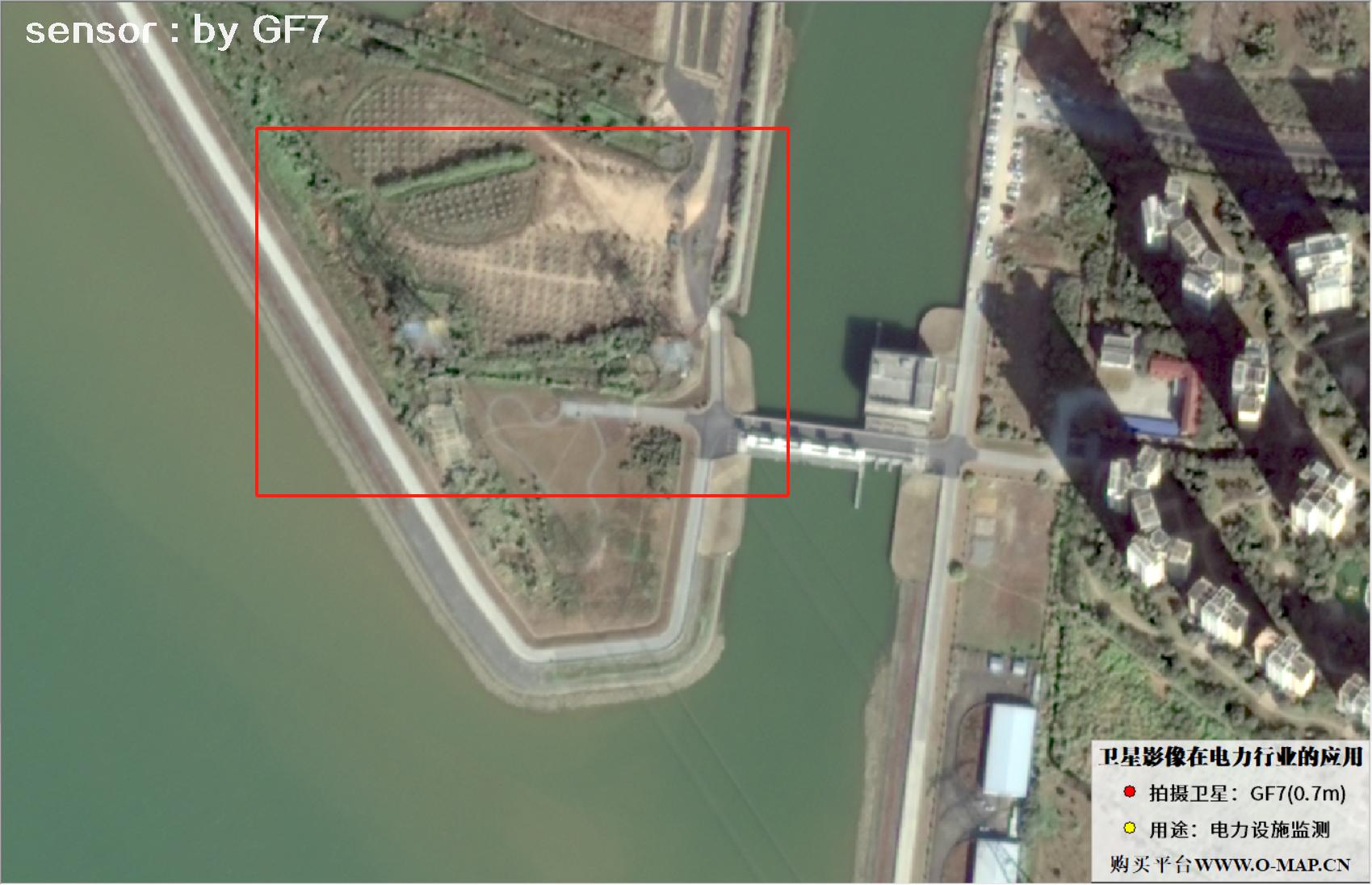
Fig. 7, 0.7m GF7 satellite image of power tower facilities
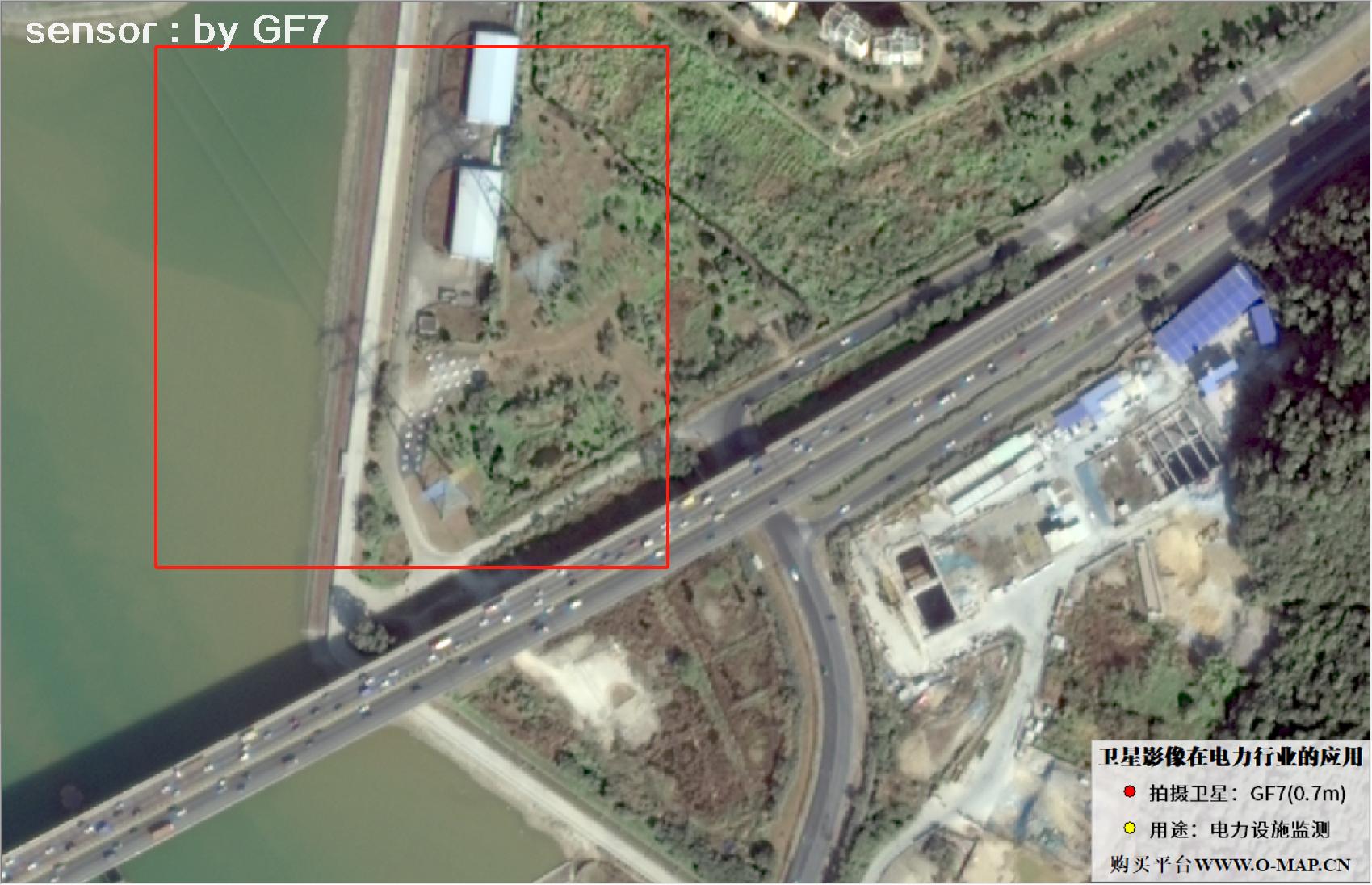
Fig. 8, 0.7m GF7 satellite image of power tower facilities
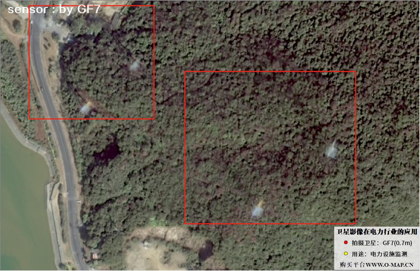
Fig. 9, 0.7m GF7 satellite image of power tower facilities
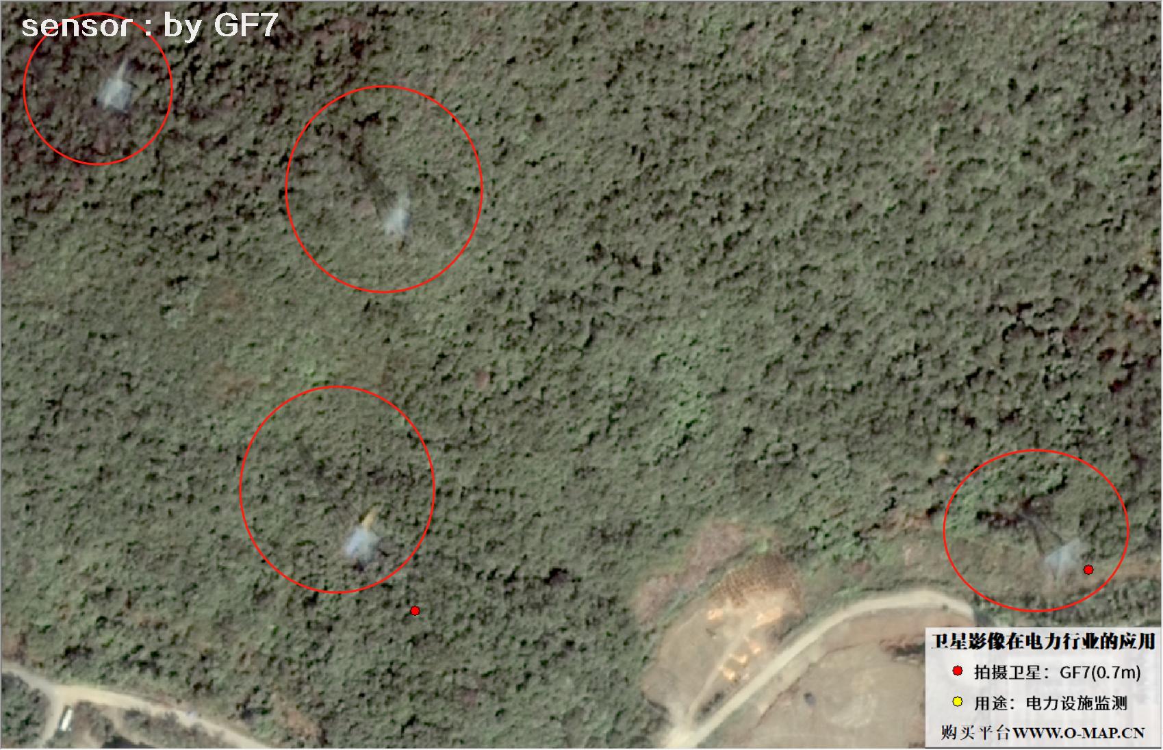
Fig. 10, 0.7m GF7 satellite image of power tower facilities
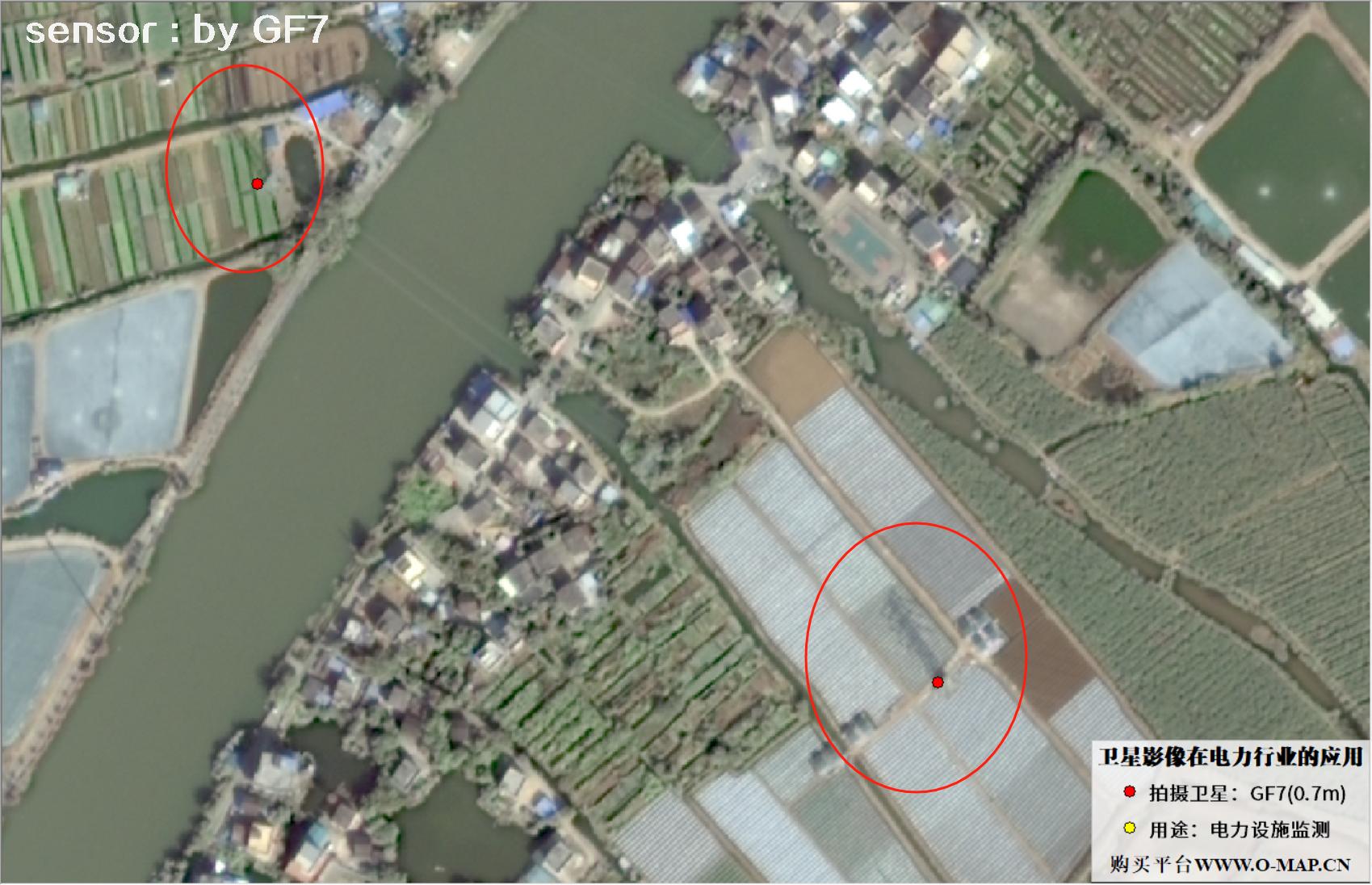
Fig. 11, 0.7m GF7 satellite image of power tower facilities
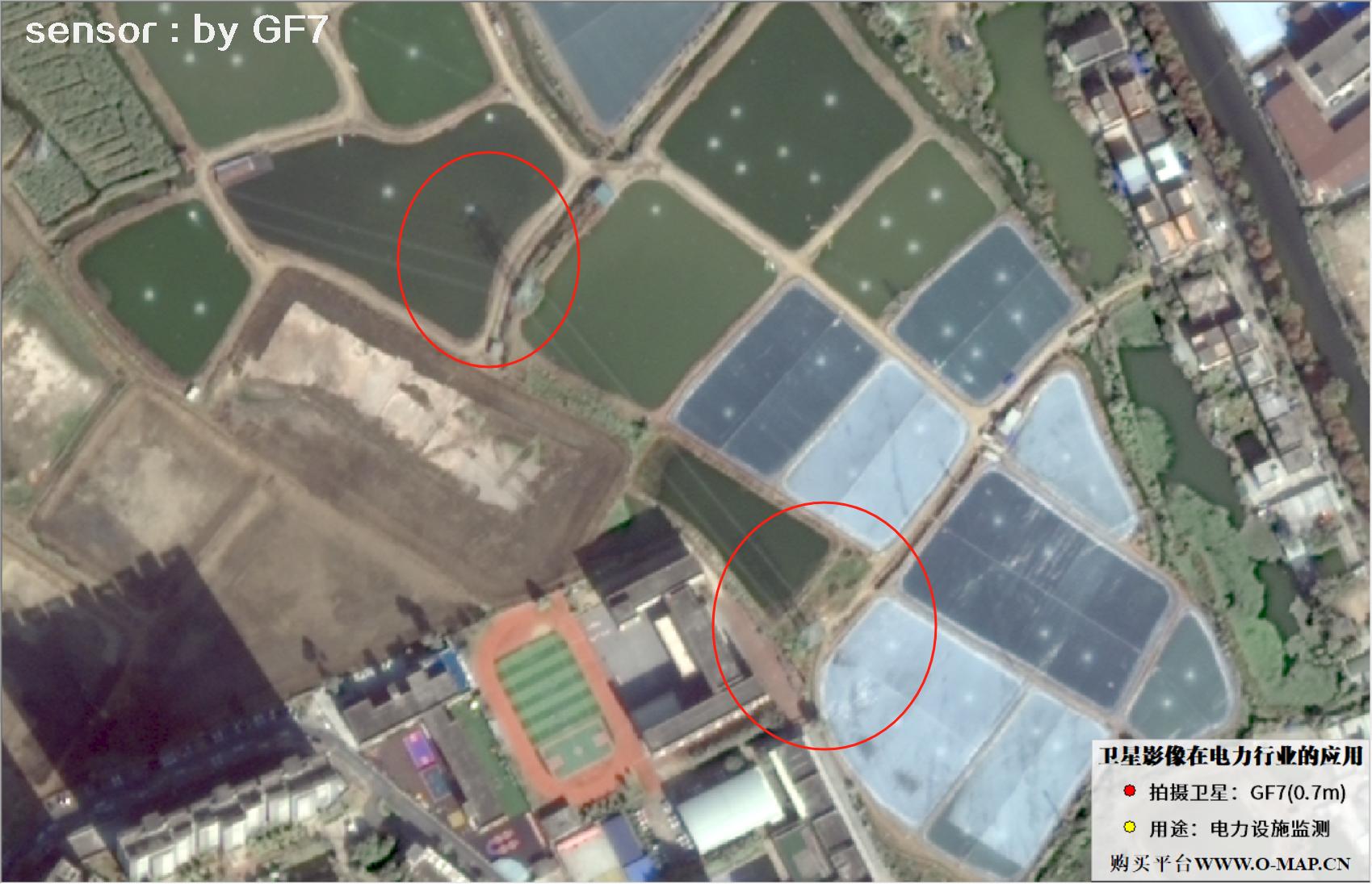
Fig. 12, 0.7m GF7 satellite image of power tower facilities
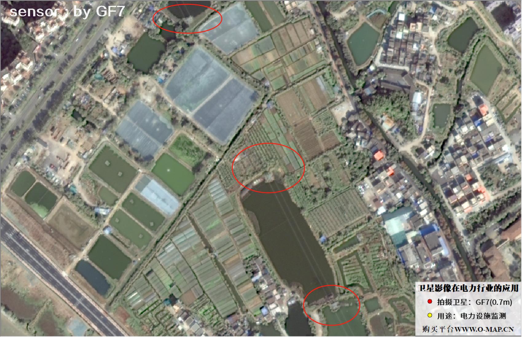
Fig. 13, 0.7m GF7 satellite image of power tower facilities
Disclaimer: This is an original article by our company. No reproduction without permission. Violators will be held liable. Original articles shall not be reproduced.
About Beijing Yijingtu Geoinformation Technology Co., Ltd.
Beijing Yijingtu Geoinformation Technology Co., Ltd. is a well-known satellite map service provider in China, headquartered in Chaoyang District, Beijing. We mainly provide domestic 1–3 m resolution remote sensing imagery and map data services, including historical imagery from the 1960s–1980s and Gaofen-series satellite images acquired after 2015, with formal procurement contracts and invoices. Delivery is normally within 5–10 working days, with same-day expedited service available.
Contact Us
- Company: Beijing Yijingtu Geoinformation Technology Co., Ltd.
- Address: Wangjing Center, Chaoyang District, Beijing, China
- Data inquiry (WeChat): xdj_jl
- Phone: 13301238517
- Email: accpxdj@gmail.com
©2021-2026 Beijing Yijingtu Geoinformation Technology Co., Ltd. All rights reserved. Jing ICP Bei No. 2021039670-1