- 🛰️ Satellite: OrbView
- 📷 Acquired: 2003
- 📍 Location: Hefei, Anhui, China
- 🗺️ Use: Historical map for land-dispute research
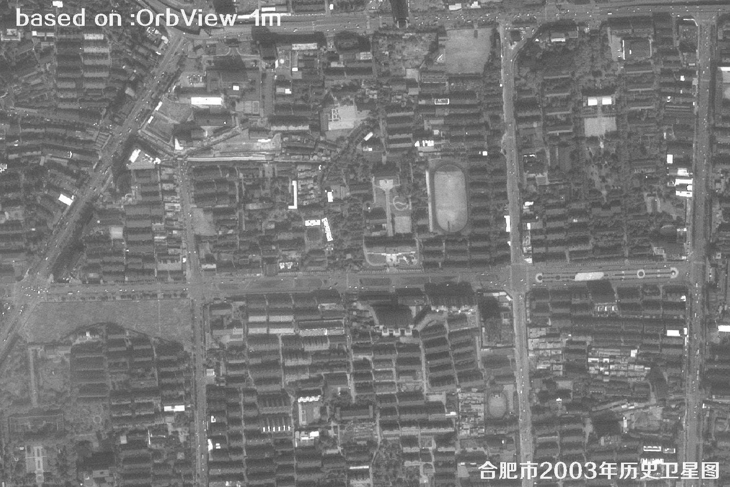
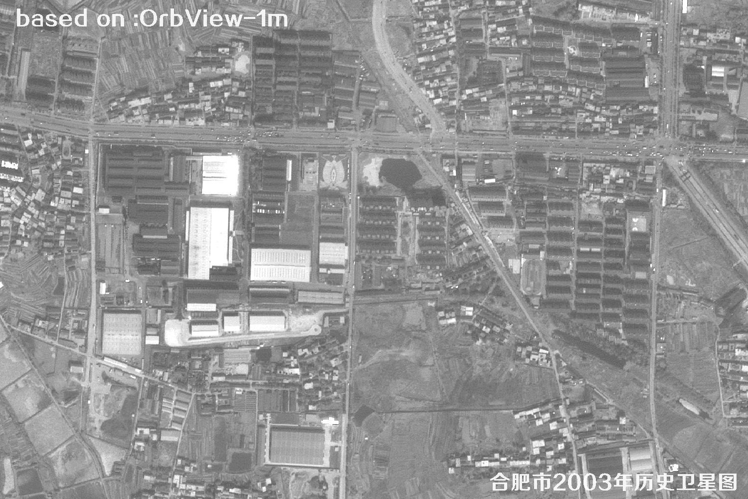
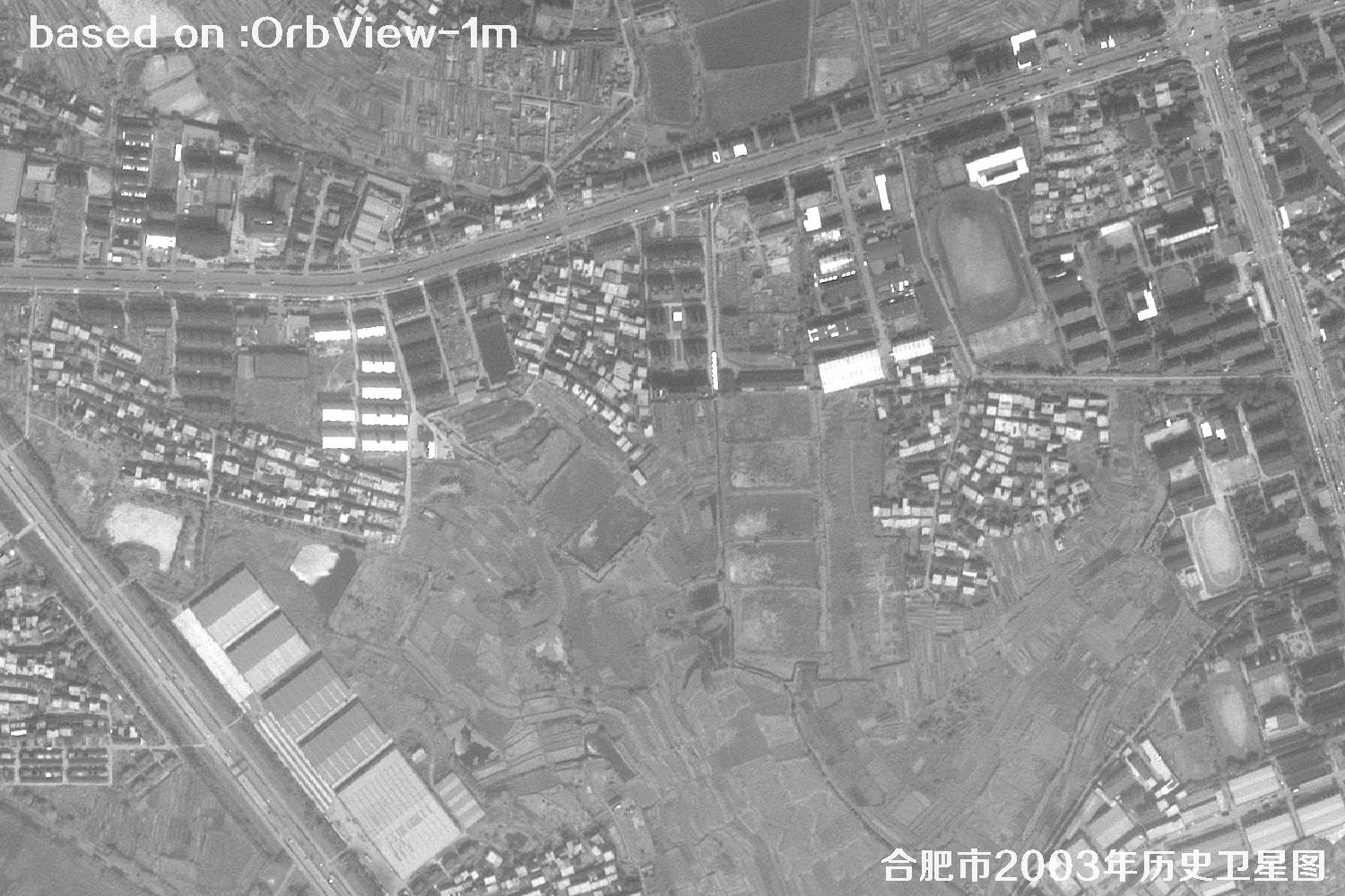
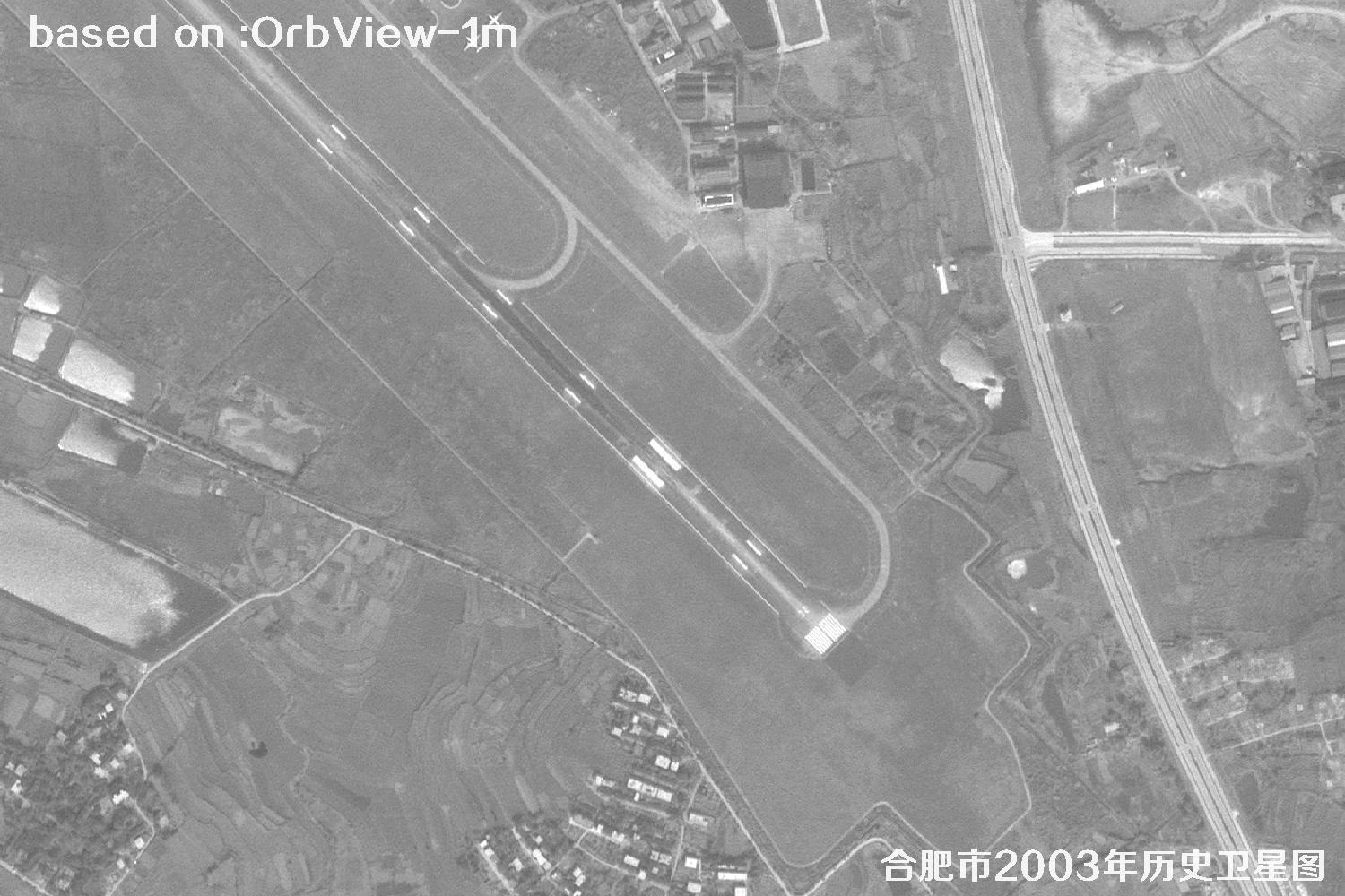
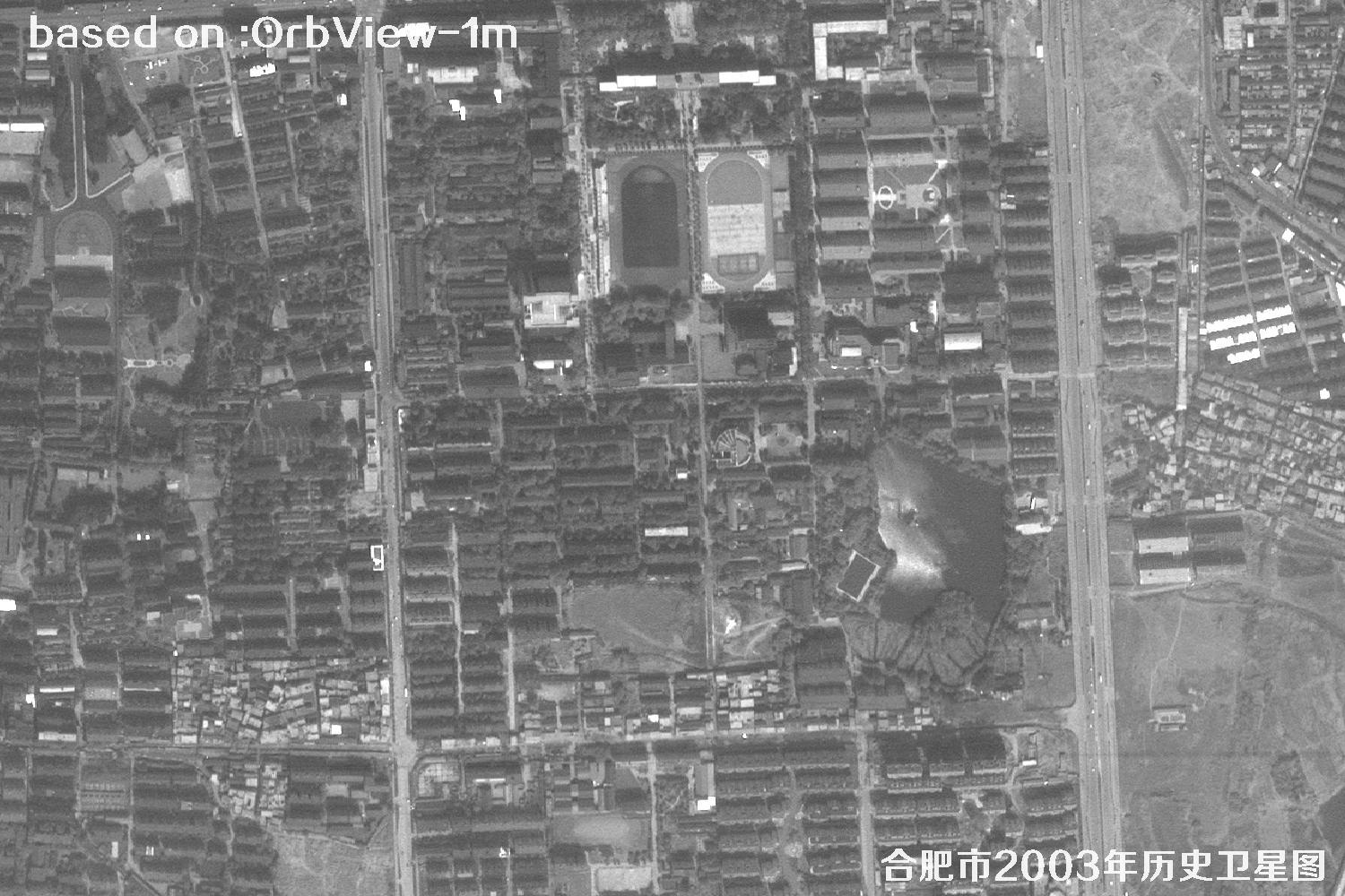
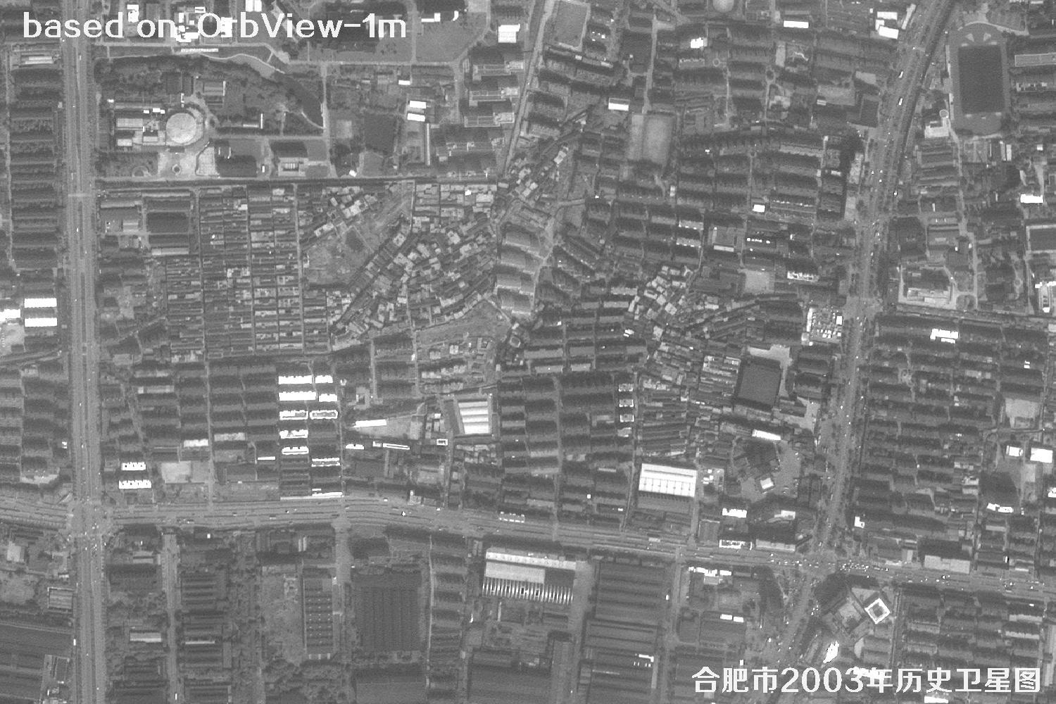
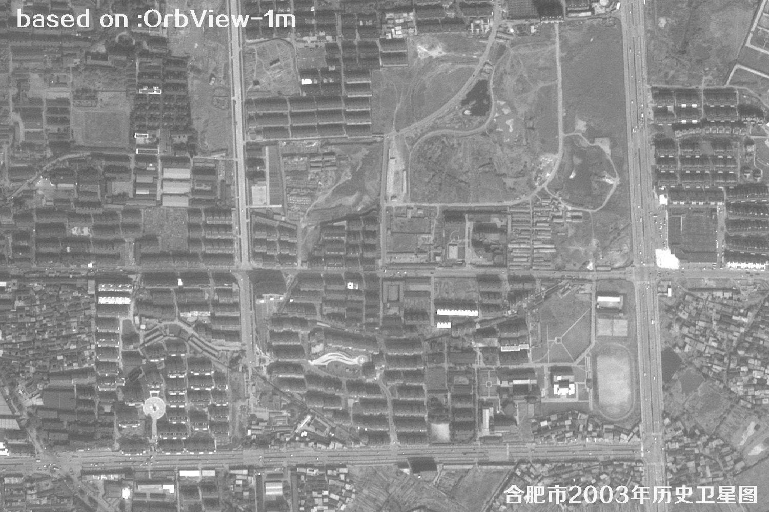
Land disputes can involve parcel boundaries, past land use, surface changes and the dates when features appeared. Historical satellite imagery provides a dated overhead view that can help parties, investigators and specialists review roads, waterways, buildings, cultivation patterns and surrounding conditions. The 2003 imagery offers a snapshot of Hefei during an earlier stage of urban expansion and may help organize a timeline, compare the apparent extent of change, and prepare material for discussion alongside field inspections, cadastral records, contracts and survey results. Before relying on an image, check its source, acquisition date, coordinate reference system, resolution and processing history. A satellite image is not by itself a title document or a legally surveyed boundary, and its acceptance as evidence is not guaranteed. For formal proceedings, seek qualified surveying and legal advice, verify the original data and preserve its provenance and supporting documentation. The images below are 1-meter historical satellite images of Hefei captured by the OrbView satellite in 2003.
OrbView is a commercial high-resolution optical satellite series operated by OrbImage of the United States (now GeoEye). OrbView-3, launched in 2003, offers 1-m panchromatic and 4-m multispectral imagery with an 8-km swath and less than 3-day revisit. OrbView imagery can preserve a dated view of land use and built features, providing a historical reference for reviewing changes around Hefei, China.
| 🎯 Resolution | 1-m pan / 4-m MS, Hefei parcels, roads, buildings and surrounding landforms can be compared |
|---|---|
| 🚀 Launch date | June 26, 2003 (OrbView-3, Pegasus XL rocket) |
| 🛰️ Orbit | 470 km sun-synchronous orbit |
| 📡 Swath / Revisit | 8 km / about 3 days |
| 📷 Bands | Pan + blue, green, red, NIR |
| 🗺️ Archive | 2003–2007 global archive, including imagery from 2003 |
⚖️ Hefei 2003 Satellite Images Total: 15 shown (of 48)
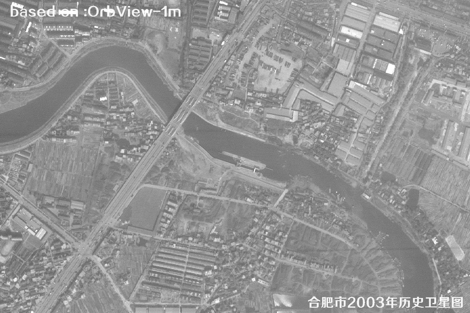 Sample
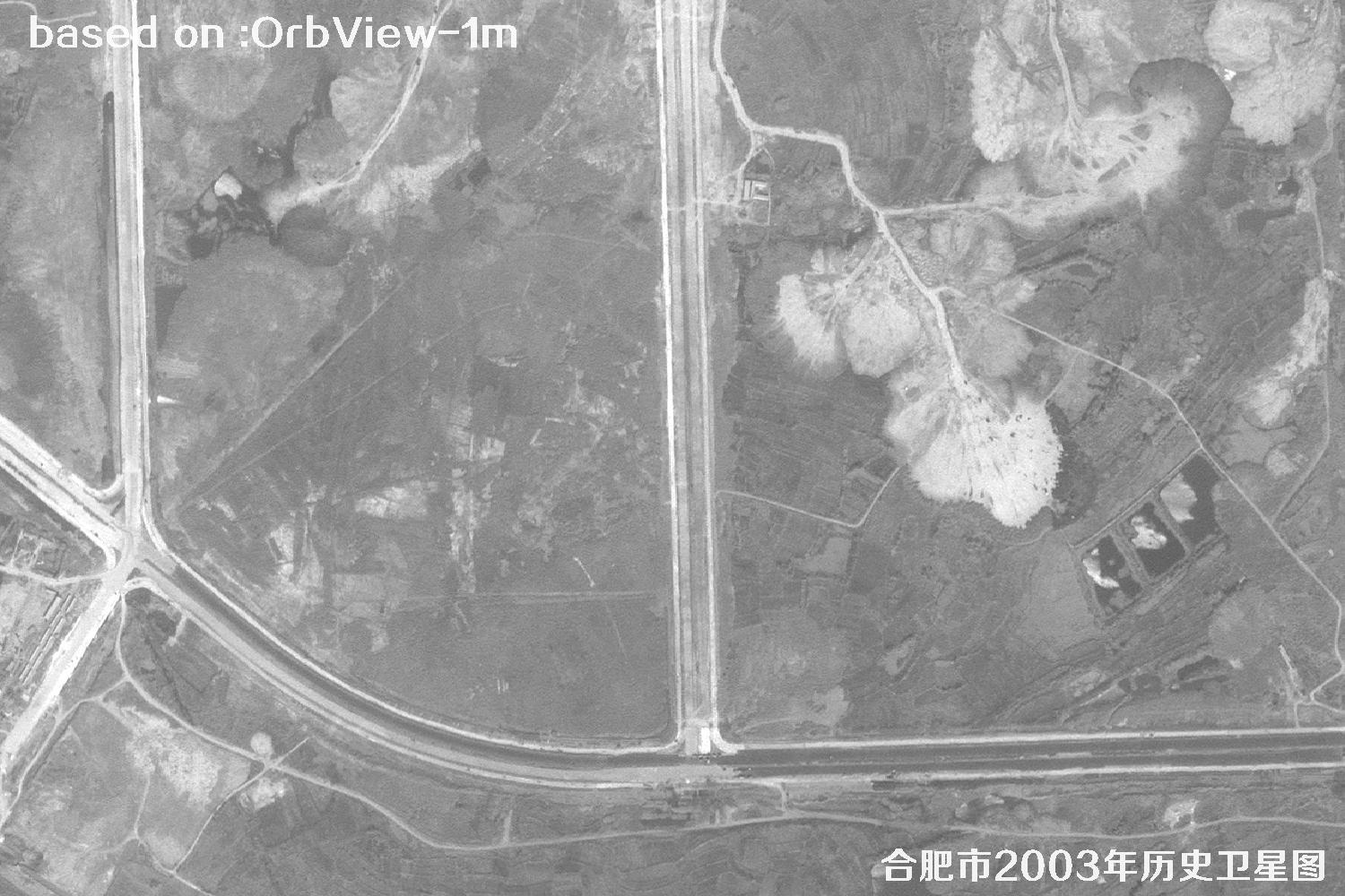 Sample
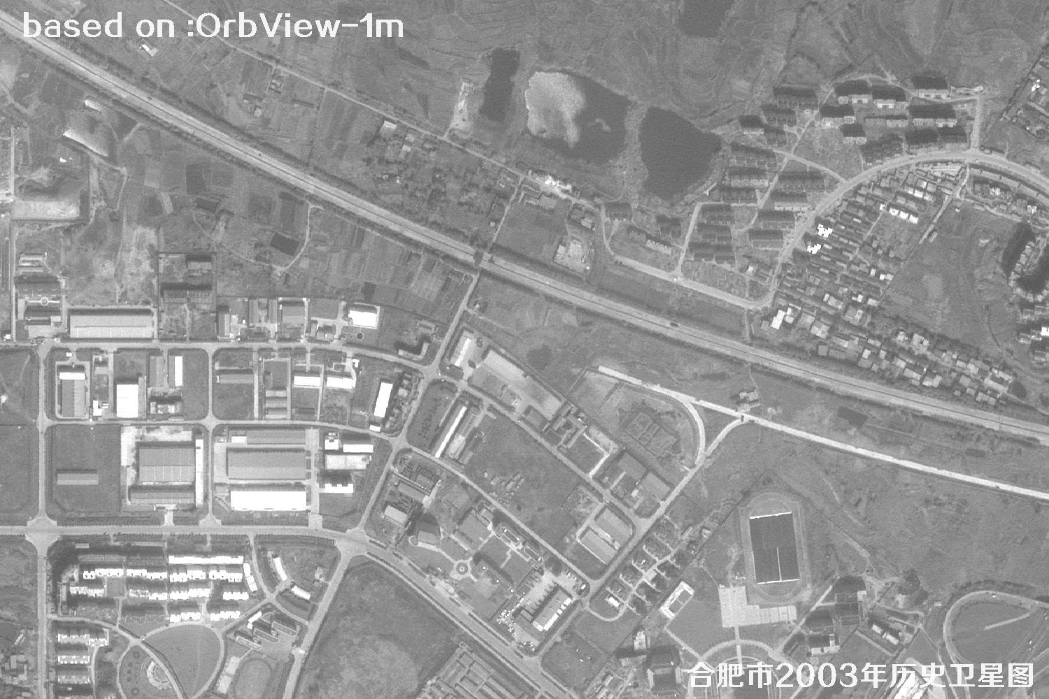 Sample
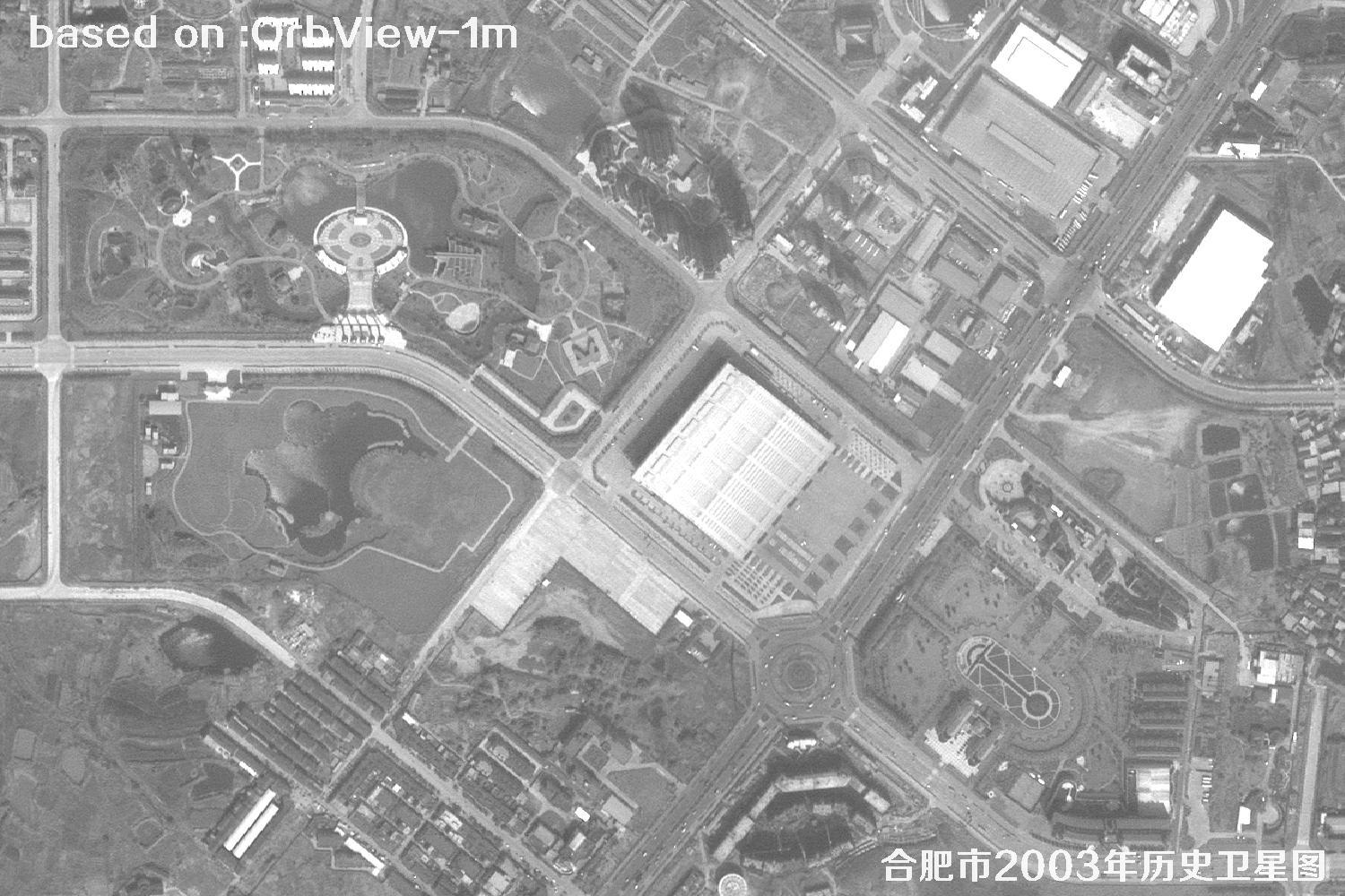 Sample
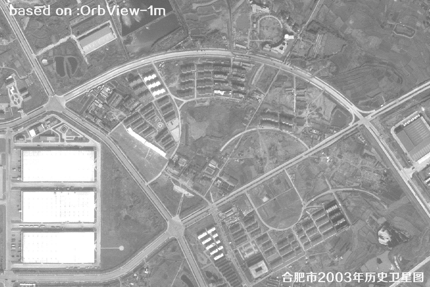 Sample
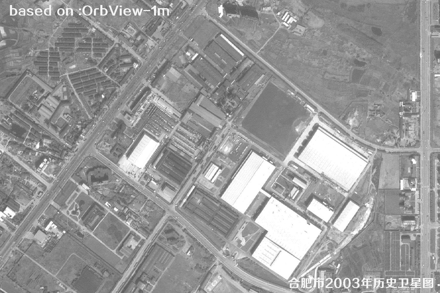 Sample
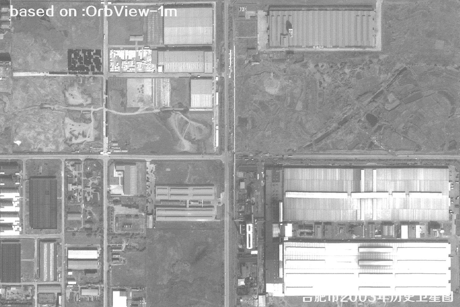 Sample
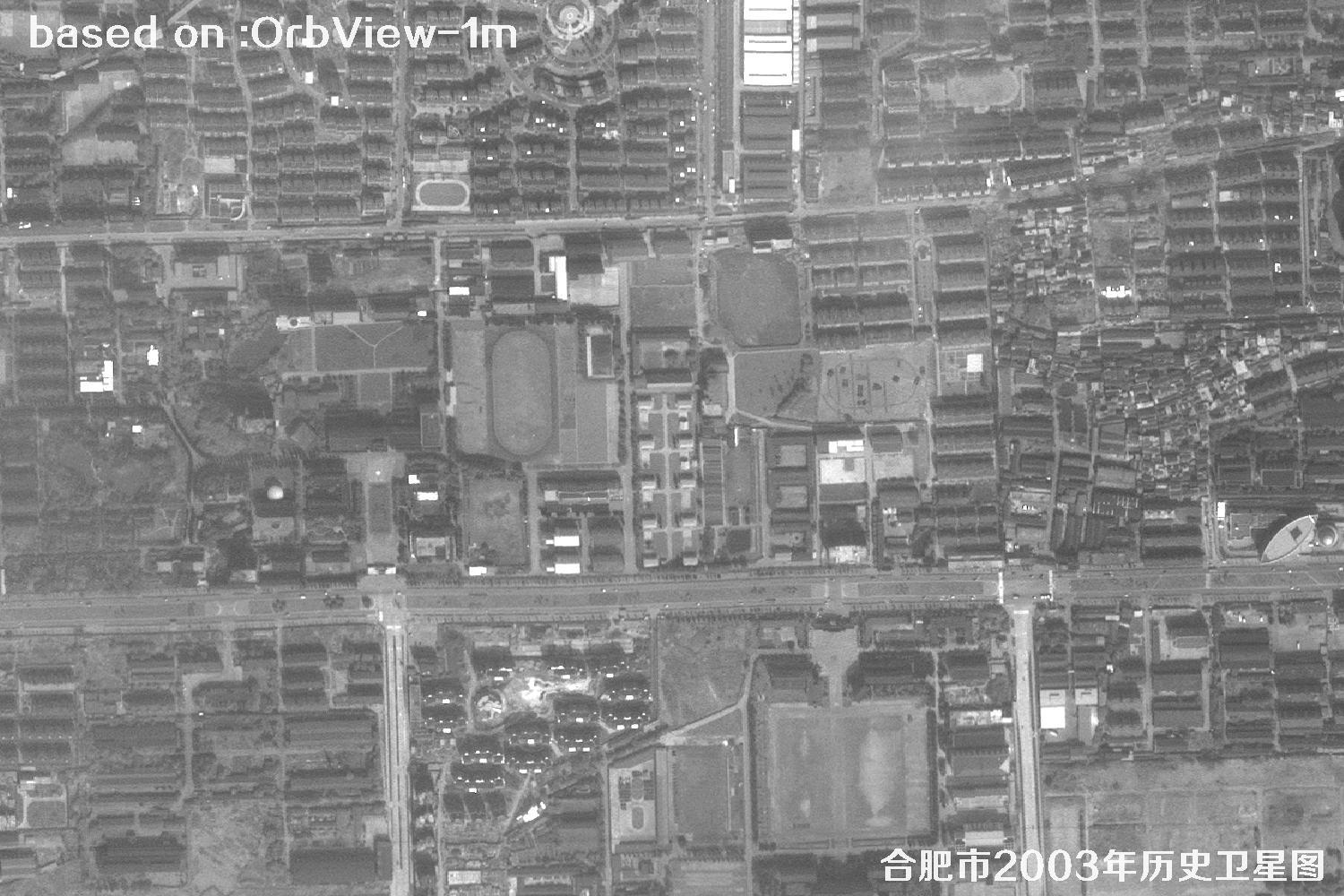 Sample
 Sample
 Sample
 Sample
 Sample
 Sample
 Sample
 Sample