🏍40.74 km on water! Zhang Xue sets new Guinness record in Mayang hometown
📍 Jinjiang waters, Mayang Miao Autonomous County, Huaihua, Hunan | Modified MX450 · Guinness World Record
📍
Event: Jinjiang waters, Mayang
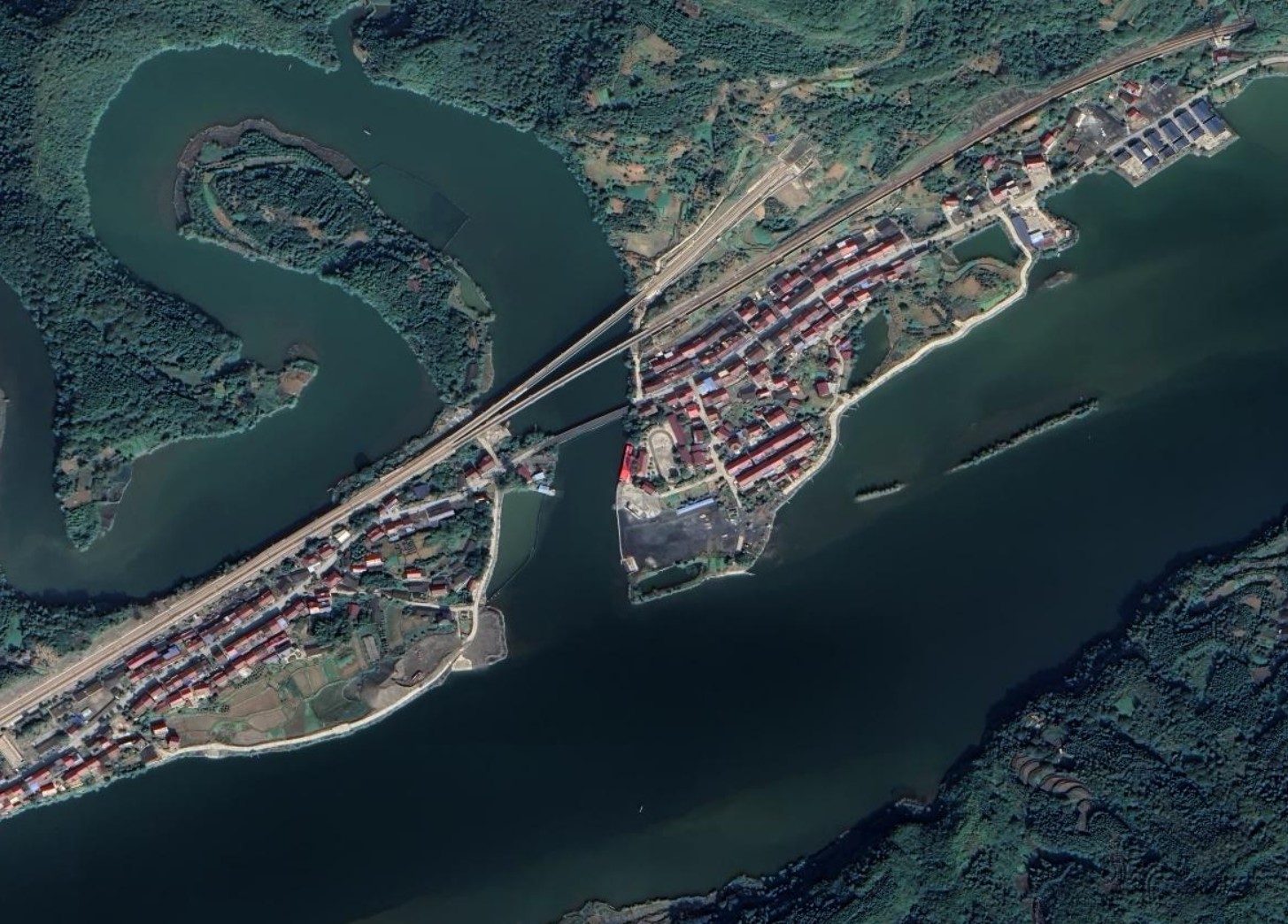
🛰 HD satellite view: the wide Jinjiang waters, the red pin marks the challenge course of this 40+ km “water drift”.
Hello everyone, let us start with an amazing story! On Oct. 25, Zhang Xue, founder of “Zhang Xue Moto”, returned to her hometown Mayang and rode a modified MX450 across the open waters of the Jinjiang River, covering 40.74 km and breaking the Guinness World Record for the “longest distance on open water by a modified motorcycle”. From 20 meters 17 years ago to 40 km today — what perseverance!
🛰 Satellite view: From above, the Jinjiang River is wide and straight — a natural water track. Satellite imagery clearly shows the start, the route and the terrain. That is the fun of watching news from space.
🔥Limoges historic city hall burned down in French riots, bell tower collapses
📍 Limoges, south-central France · City hall built in 1883 | Nationwide unrest on Oct. 17, 2026
📍
Event: Limoges City Hall (45.83°N, 1.26°E)
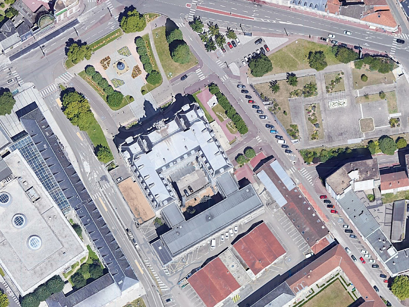
🛰 HD satellite view: downtown Limoges from above, the pin marks the 143-year-old city hall complex.
Now to Europe. On the evening of Oct. 17, nationwide protests in France turned into riots. Hundreds of masked people smashed the windows of Limoges City Hall and set it on fire. Flames engulfed the whole building, the roof burned down and the 43-meter bell tower collapsed. Built in 1883, this protected historic building was “largely destroyed” — a heartbreaking symbol of the violence.
🛰 Satellite view: Located in central Limoges, its H-shaped historic layout and square are clearly visible from space. Before/after satellite comparison is often used to assess roof collapse and fire damage.
🌐M5.7 strong aftershock hits Baqing, Nagqu, Tibet: 19 km from mainshock
📍 32.43°N, 93.99°E | Oct. 25, 19:25 · 10 km depth
📍
Epicenter: Baqing 32.43°N, 93.99°E (M5.7)
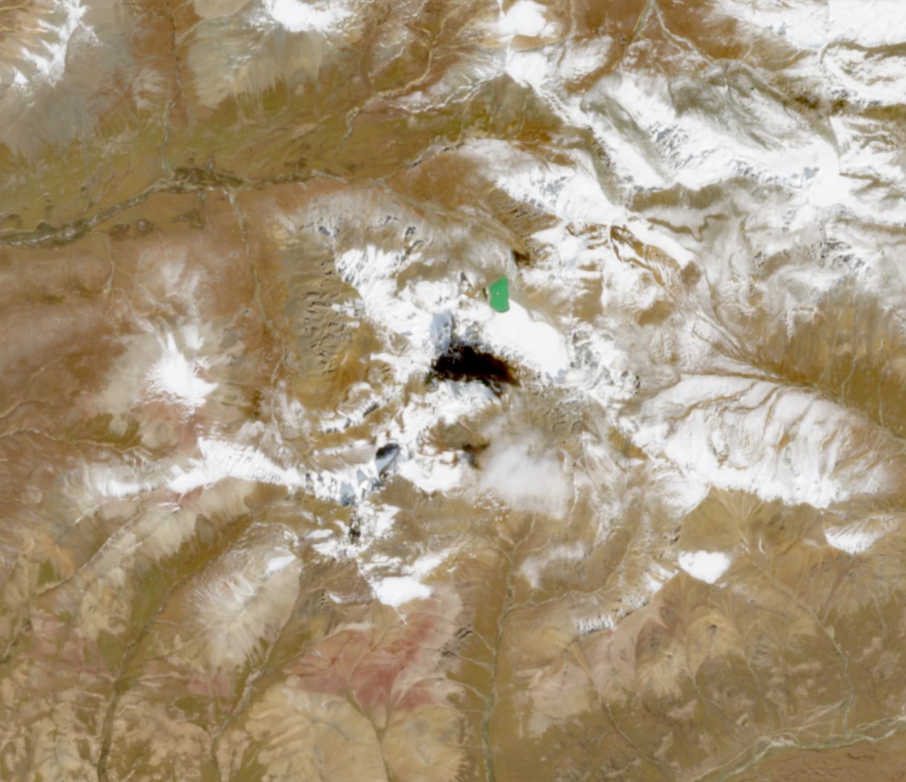
🛰 HD satellite view: plateau mountain terrain, the pin marks the M5.7 epicenter, about 19 km from the M7.0 mainshock.
Finally, the earthquake in China. According to the China Earthquake Networks Center, a M5.7 earthquake struck Baqing County, Nagqu City, Tibet at 19:25 on Oct. 25 at 10 km depth. It is the largest aftershock so far of the Oct. 22 M7.0 Baqing quake, about 19 km from the mainshock epicenter, with over 2,000 aftershocks recorded. The Ministry of Water Resources has held emergency talks. Stay safe!
🛰 Satellite view: In this high mountain area, satellite images help spot blocked roads, landslides and settlements quickly, guiding rescue forces like eyes from the sky. Aftershocks continue — beware of secondary disasters.
🛰 Satellite Target Recognition
Tap one of the four icons below to open the recognition page and see how farmland, trees, cars and houses look from space:
🌾
Farmland: contiguous fields show clear textures from space, ideal for area measurement. Click the icon to open
/targets/fields.html.