🛰 Satellite Imagery Resources & Reference Price List
Explore high-resolution satellite imagery from multiple sources, spanning a range of spatial resolutions, applications, and purchasing needs. Prices shown are indicative only. Actual costs may vary based on area of interest, image acquisition date, cloud cover and quality, data level, and licensing terms.
📊 Resolutions & Satellite Resources
Satellites are grouped by commonly used spatial resolutions to make it easy to compare image capabilities, use cases, and indicative prices.

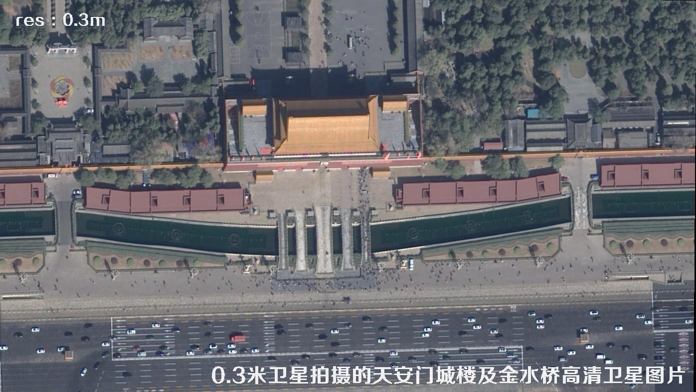
WorldView3
Very-high-resolution commercial satellite imagery for detailed feature identification, urban monitoring, engineering planning, and precise basemap production.
Pleiades-Neo
High spatial resolution and frequent revisit capability for urban renewal, resource surveys, emergency monitoring, and refined management.

SuperView-Neo
A domestic high-resolution commercial satellite resource supporting applications across multiple industries, with a balance of acquisition efficiency and image detail.

SuperView-1 (0.5 m)
Domestic sub-meter satellite imagery for urban management, land-use monitoring, basic surveying and mapping, planning support, and change detection.
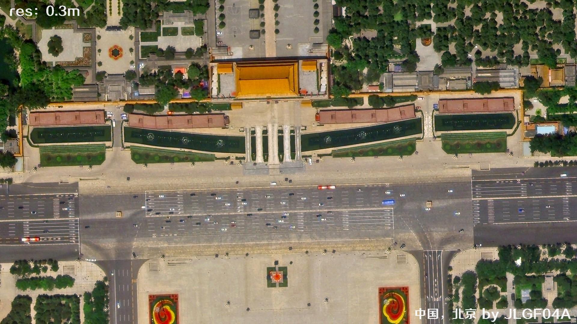
Jilin-1 (0.3–0.5 m)
With strong constellation-based observation capabilities, it is suited to rapid wide-area acquisition, agricultural monitoring, urban expansion analysis, and project reconnaissance.

DG & Airbus (0.4–0.6 m)
A proven high-resolution commercial imagery source for regional surveys, basemap updates, target identification, and comparison with historical imagery.
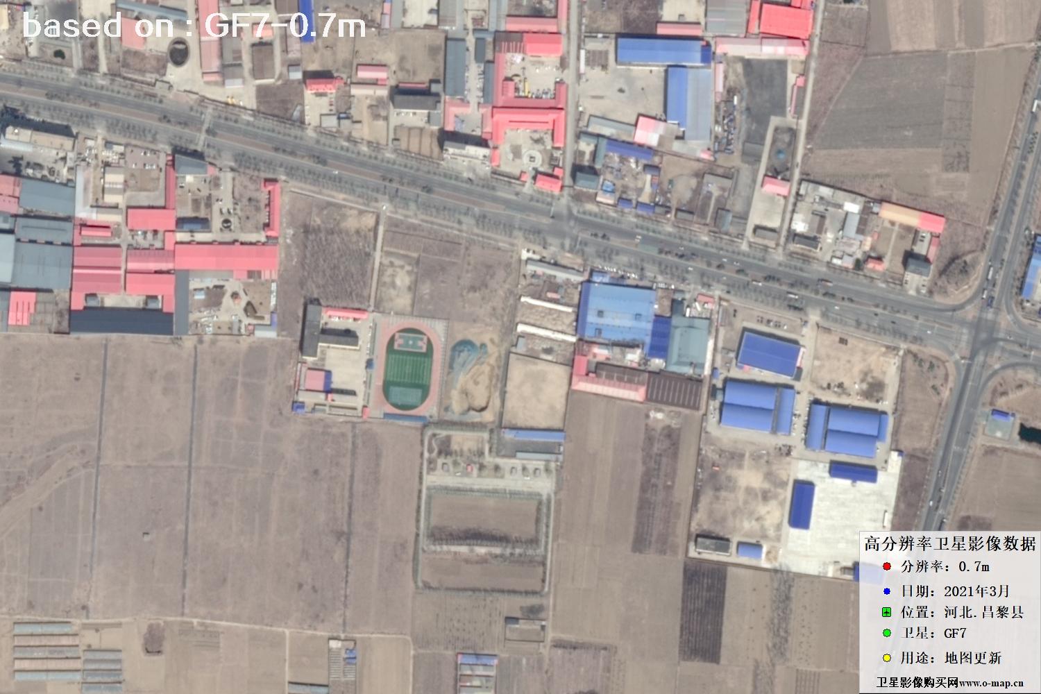
GF-7 (0.7 m)
A high-resolution Earth-observation satellite for professional applications in land resources, agriculture, forestry, water management, and environmental protection.

Beijing-2 (0.8 m)
Broad coverage and flexible imagery for regional mapping, resource monitoring, environmental assessment, and thematic analysis.
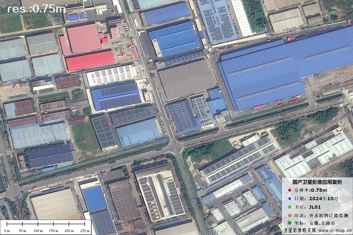
Jilin-1 (0.75 m)
With strong constellation-based observation capabilities, it is suited to rapid wide-area acquisition, agricultural monitoring, urban expansion analysis, and project reconnaissance.
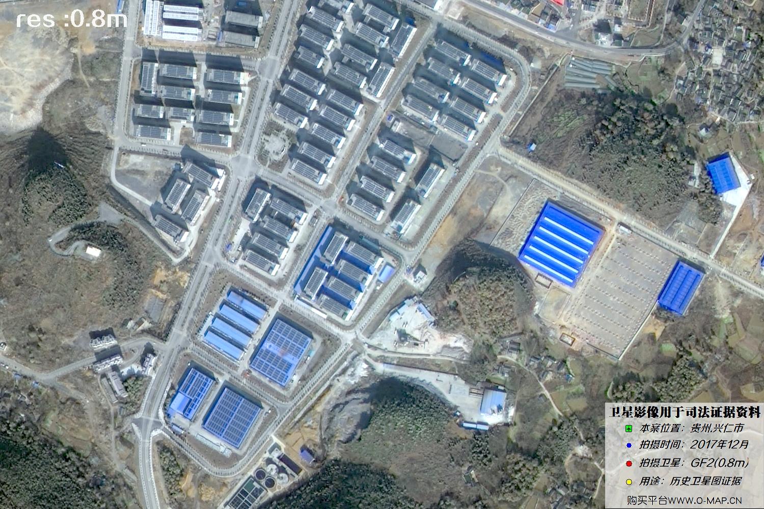
GF-2 (1 m)
Suitable for medium- to large-area land-cover analysis, resource surveys, agricultural and forestry monitoring, and regional imagery basemaps.

GF-1 (B/C/D) and GF-6 (2 m)
For land resources, agriculture, ecology, disaster response, and environmental monitoring, as well as large-area remote sensing projects.

Sentinel-2 (10 m)
Commonly used for spectral analysis of areas of interest and index calculations (e.g., NDVI and NDWI).