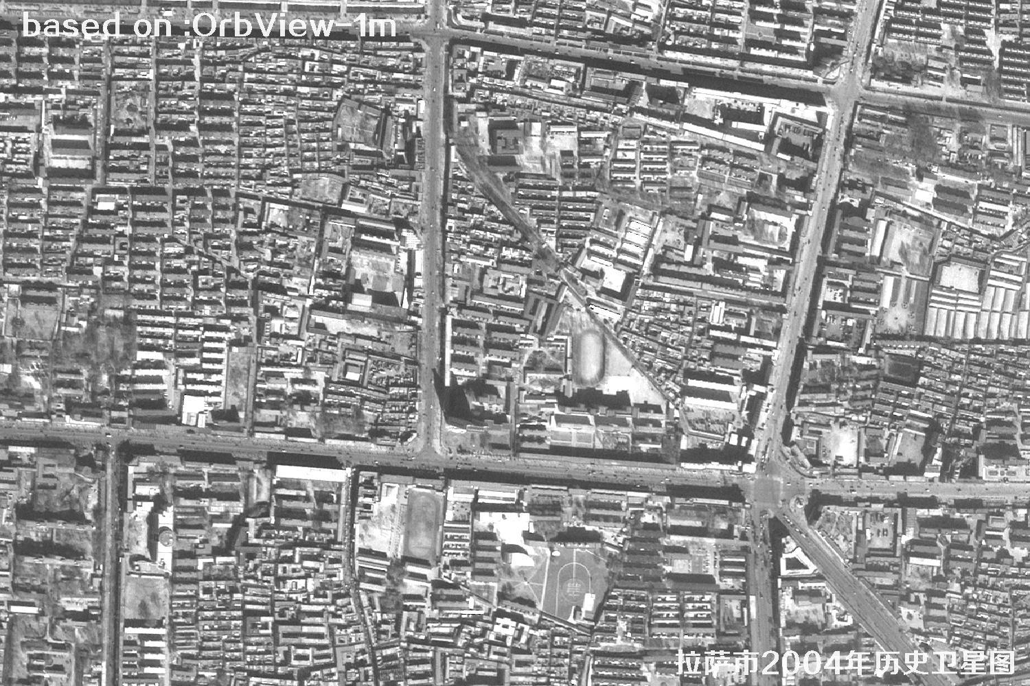
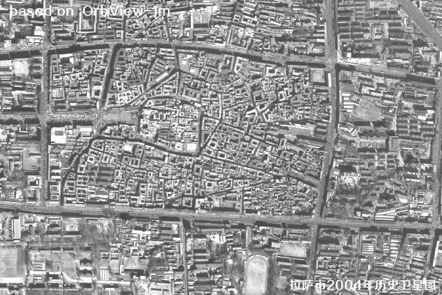
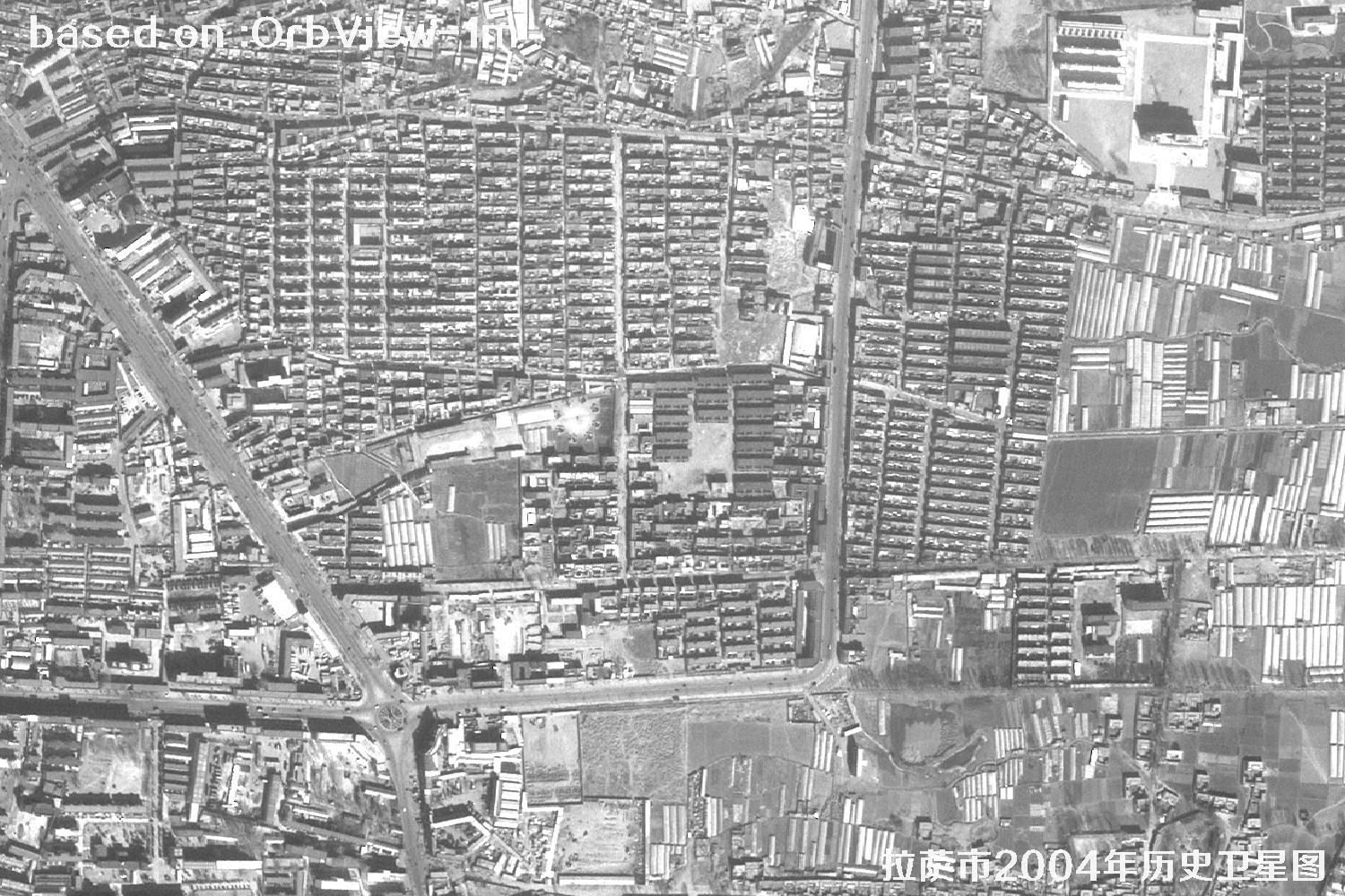
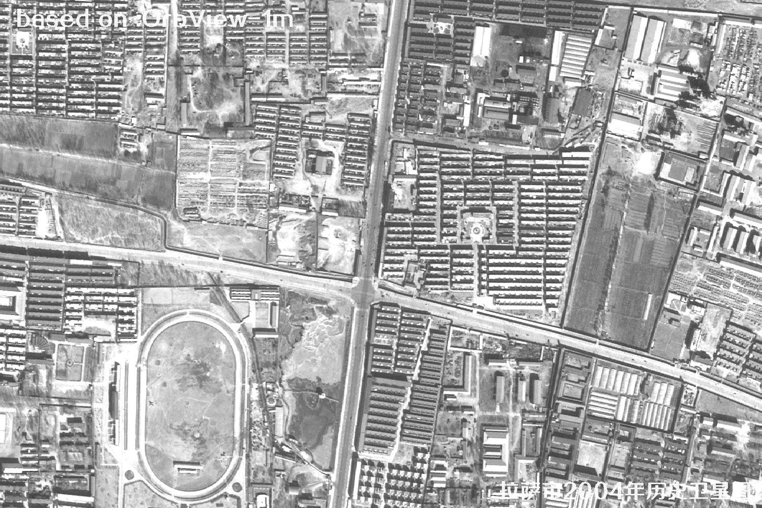
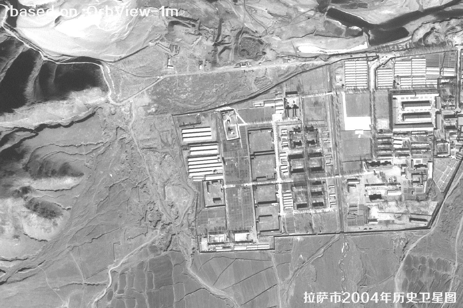
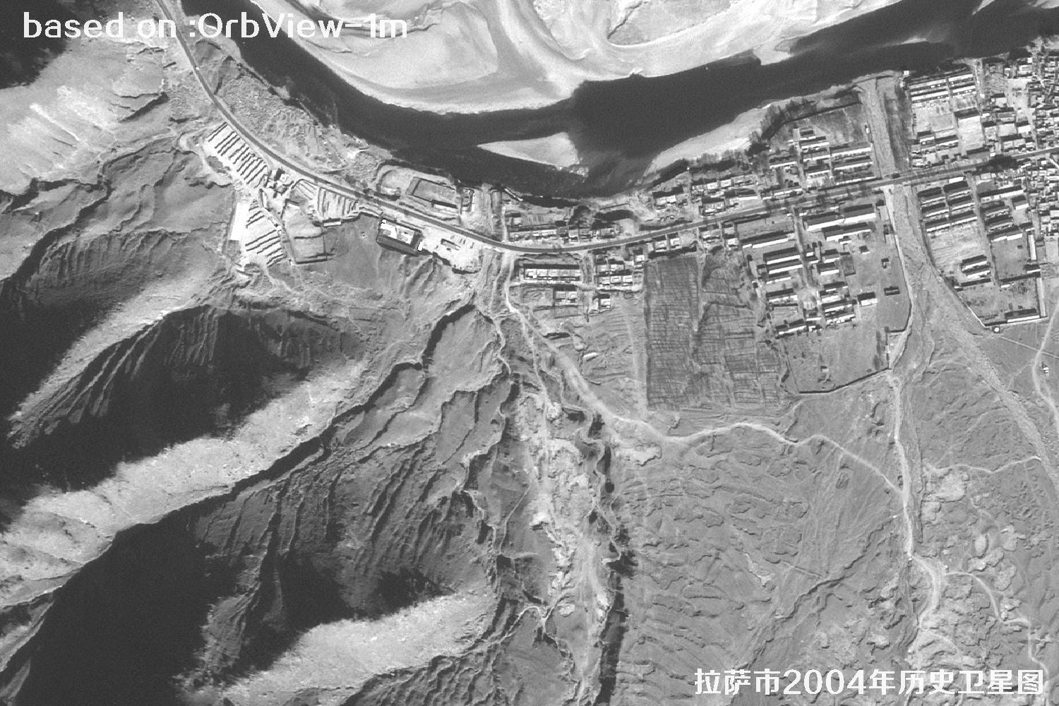
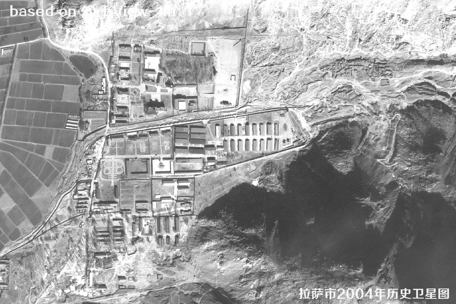
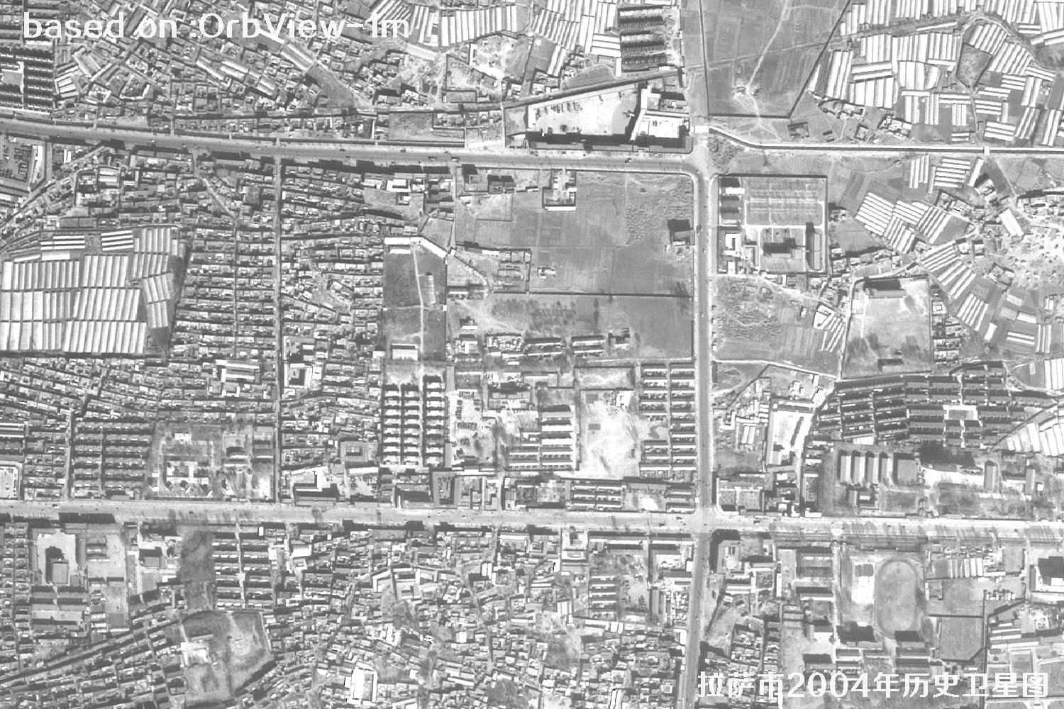
πŸ”οΈLhasa 2004: 1 m Resolution OrbView Historical Satellite Imagery

πŸ—“οΈ Published: October 20, 2026 OrbView Lhasa Map 2004 Imagery
πŸ›°οΈ Satellite
OrbView
πŸ“… Captured
2004
πŸ“ Location
Lhasa, Tibet
πŸ” Use Case
Historical satellite map

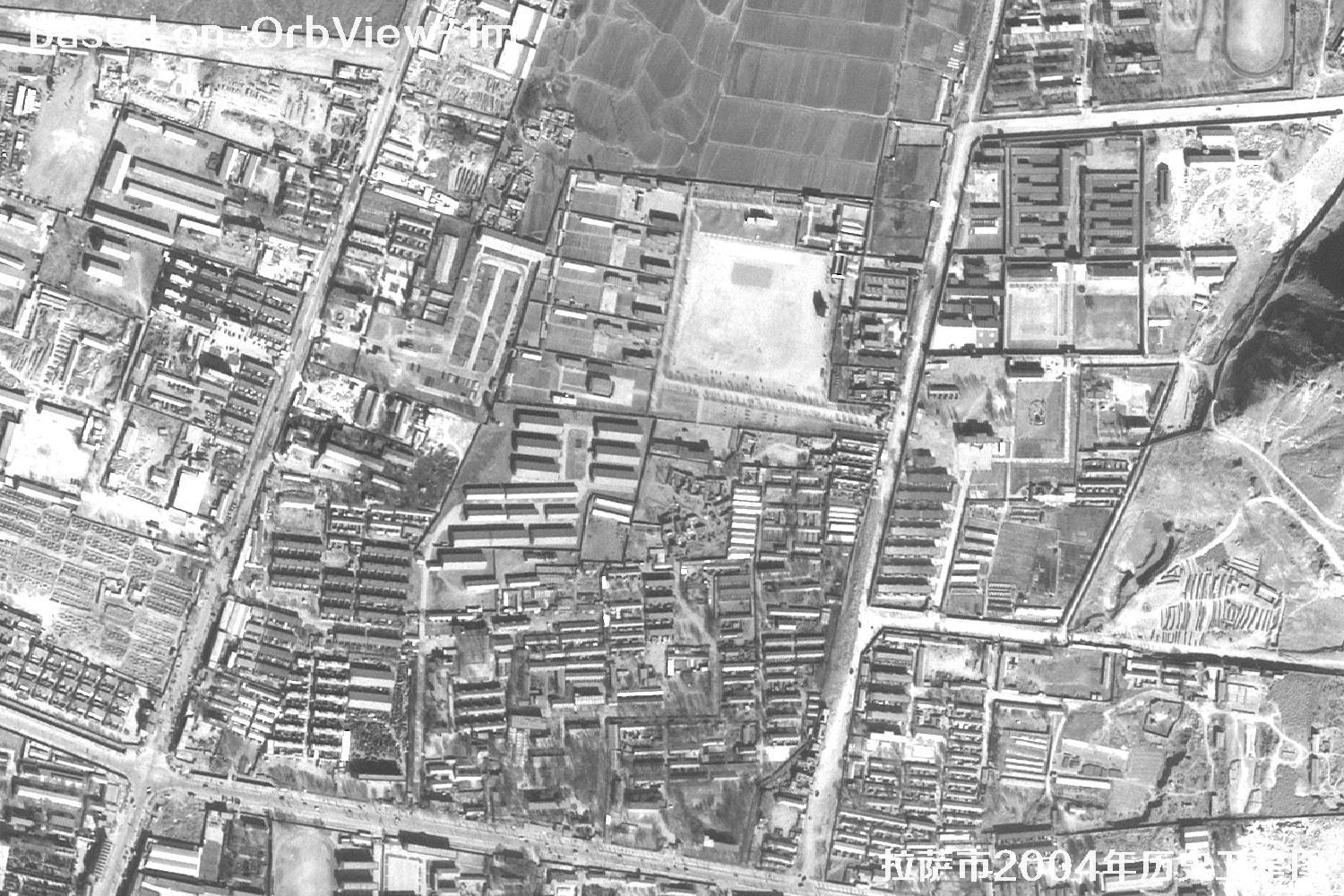
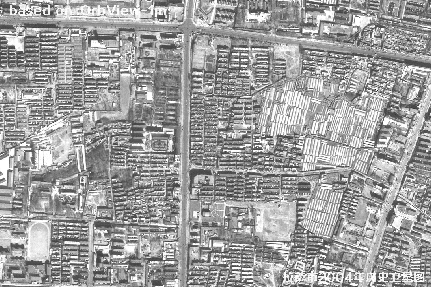
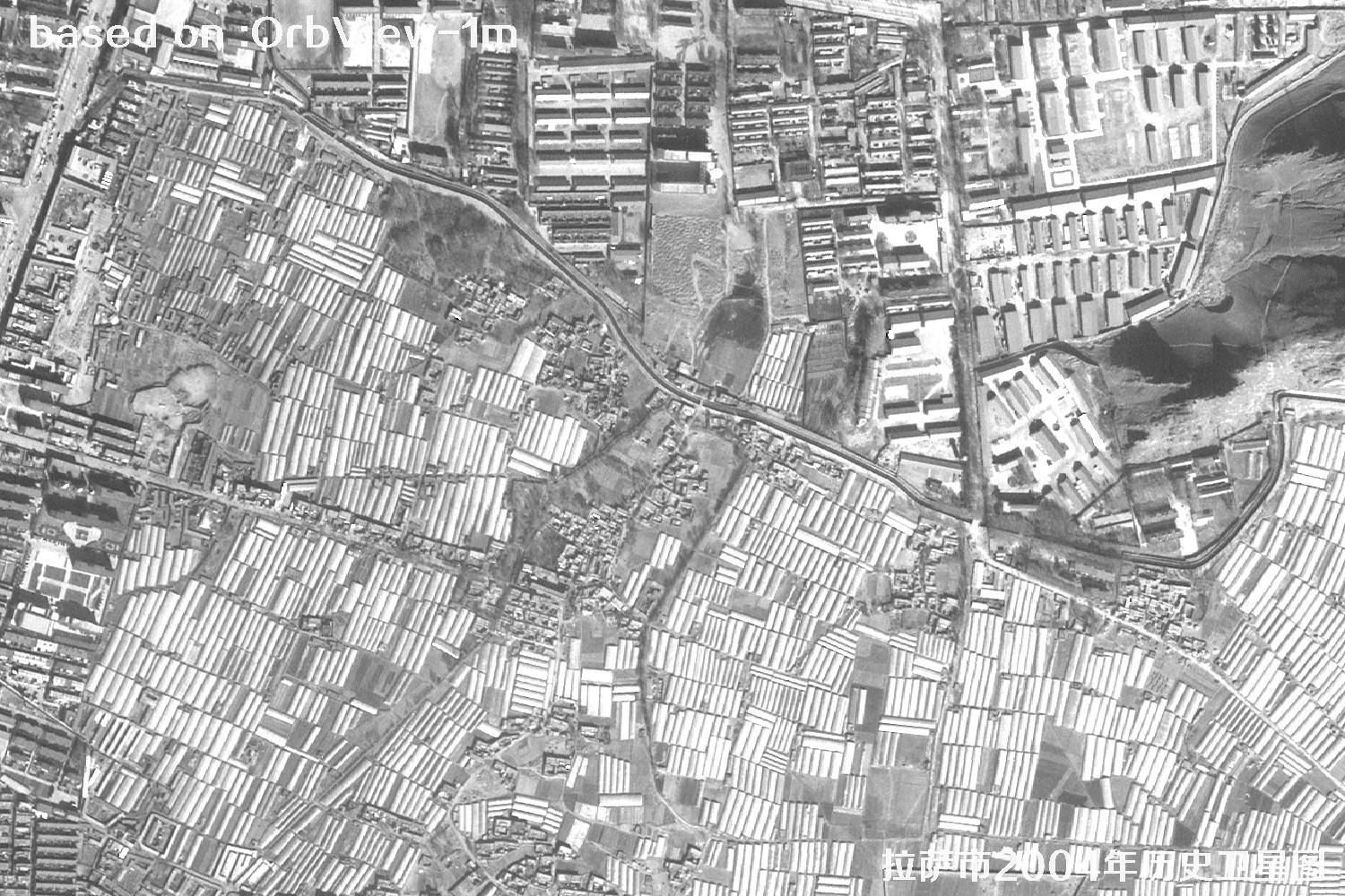
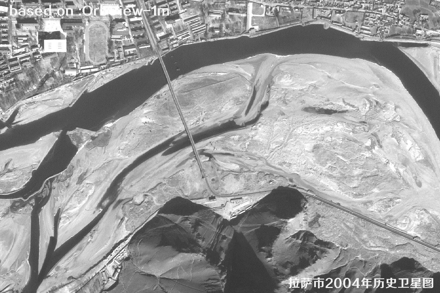
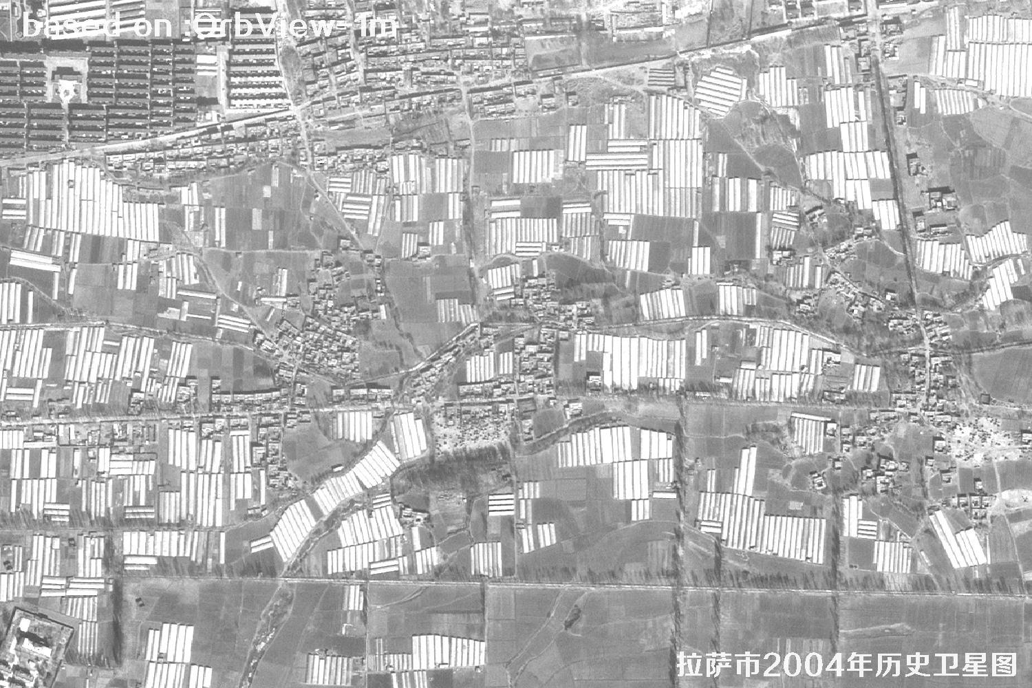
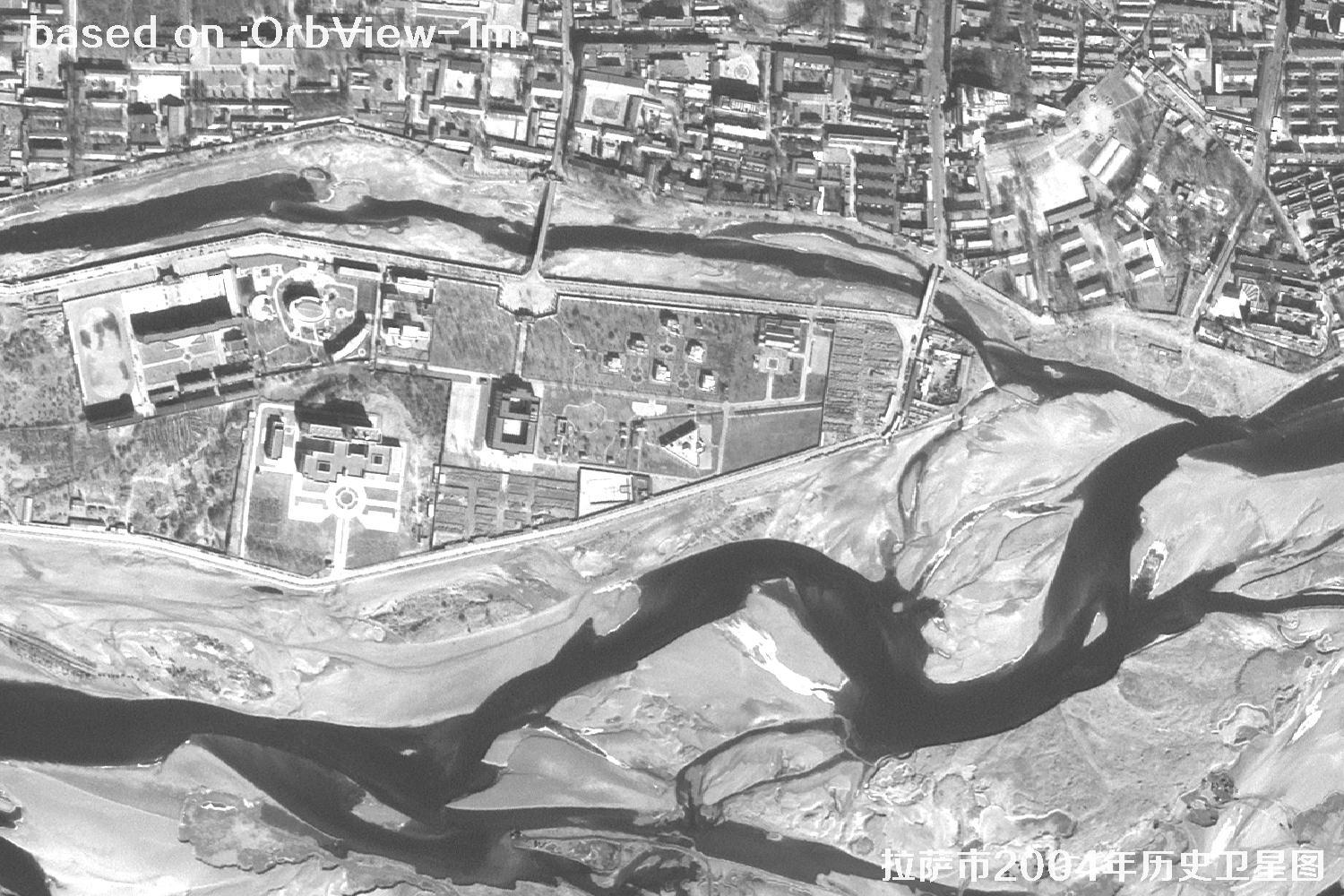
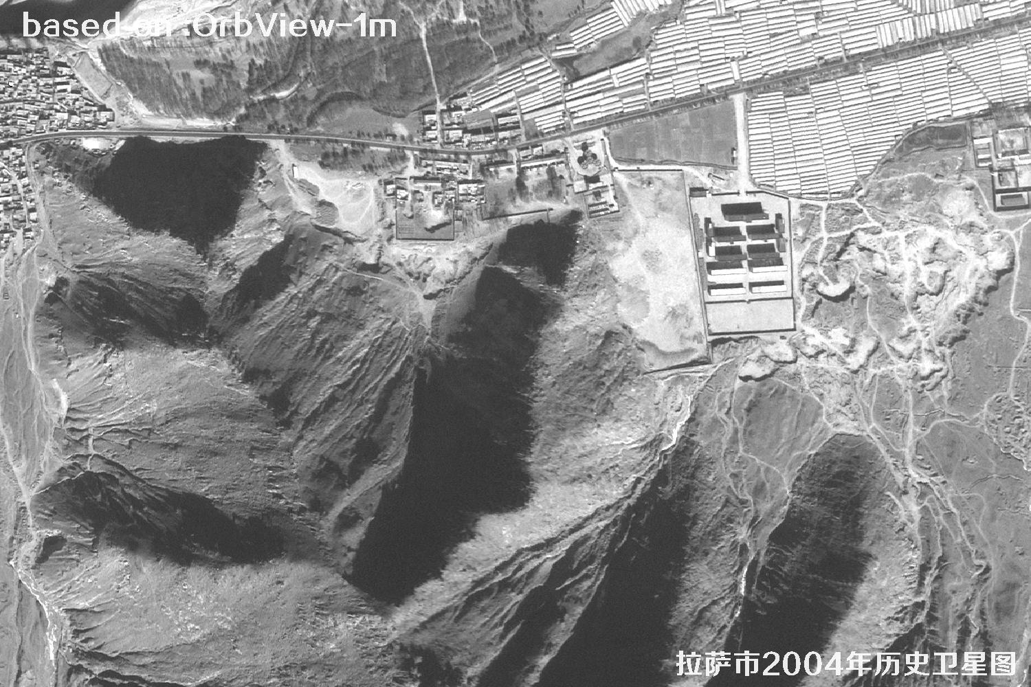
Lhasa sits in the valley of the Lhasa River, a tributary of the Yarlung Tsangpo, at an elevation of more than 3,600 metres. The Barkhor, the Potala Palace and the Jokhang all crowd onto the flattest ground in that valley. In the early 2000s the city had only just begun to spread east and west: farmland, groves and villages along the river still ran together, and the courtyard fabric of the old town was largely intact. Satellite images from that moment are precious because they fall exactly before the big demolition-and-rebuild years β€” one pass fixed the road skeleton, building density and land use of the time.

At 1 m, the 2004 scene resolves roofs, courtyards, tree crowns and field ridges. Overlay it on today's imagery and you can see where the city grew, how far farmland retreated and whether the river shifted. For planning, historical geography, old-town conservation and place-name research, this is a base map you can measure and reuse. The images below were taken by the American OrbView satellite over Lhasa in 2004 at 1 m resolution.

πŸ’‘ Friendly tip: to purchase high-resolution satellite imagery, please contact our staff at Beijing OMap, or click search online for more satellite samples. One-on-one service, professional and quick.

OrbView is a family of commercial remote-sensing satellites operated by Orbital Imaging, later absorbed into GeoEye. OrbView-2, launched in 1997, was built mainly for ocean-colour observation. On 26 June 2003 OrbView-3 reached a sun-synchronous orbit on a Pegasus XL air-launched rocket, carrying a 1 m panchromatic and 4 m multispectral sensor with a swath of about 8 km β€” one of the few sub-metre commercial sources open to civilian customers at the time. It operated until 2007, and its archive is now a valuable record of how cities changed.

OrbView imagery is particularly useful for a highland city like Lhasa. Around 2004 the built-up area was still concentrated in the valley: the courtyard pattern around the Barkhor, building density near the Potala Palace, and the farmland and woodland along the Lhasa River were all fairly intact. At 1 m, roofs, courtyards, tree crowns and field boundaries are distinguishable. Stack those scenes on today's imagery and the city's spread along the valley, the extension of the road grid and the retreat of farmland become plain. For urban planning, historical geography, old-town protection and place-name research, it is a base map that can be measured directly.

97
1997
OrbView-2 reaches orbit; commercial archives begin
03
2003
OrbView-3 launched with a 1 m panchromatic sensor
04
2004
Lhasa scene captured before the city's big expansion
07
2007
Mission ends; the archive stays in service
🎯 Resolution 1 m pan / 4 m MS KEY
πŸš€ Launch 26 June 2003 (OrbView-3) KEY
πŸ›°οΈ SeriesOrbView (OrbView-2 / 3)
πŸ“… Operational1997 – 2007
🌍 OrbitSun-synchronous, ~470 km
πŸ“‘ SwathAbout 8 km
πŸ”§ PayloadPan + multispectral camera
🌈 BandsPan + B, G, R, NIR
πŸ” RevisitAbout 3 days
πŸ™οΈ ApplicationsUrban change, heritage, mapping
πŸ’Ύ FormatGeoTIFF / ortho products

πŸ“Š Ground Detail: OrbView vs. Today (shorter bar = finer detail)

One pixel, three sensors
OrbView pan1.0 m
OrbView multispectral4.0 m
GF-7 pan (today)0.65 m
ℹ️ At 1 m, a pixel covers a small dining table β€” enough to count roof shapes, courtyards and field ridges.

πŸ—“οΈLhasa in 2004: Historical OrbView Imagery

Total 15 images

Click the β›Ά button in the middle of any image to view it full screen. In full screen, press ← ↑ for the previous image and β†’ ↓ for the next; press Esc to exit.

Lhasa 2004: 1 m Resolution OrbView Historical Satellite Imagery 1 Sample
Lhasa, Tibet, China β€” OrbView Satellite Image 11 / 15
Lhasa 2004: 1 m Resolution OrbView Historical Satellite Imagery 2 Sample
Lhasa, Tibet, China β€” OrbView Satellite Image 22 / 15
Lhasa 2004: 1 m Resolution OrbView Historical Satellite Imagery 3 Sample
Lhasa, Tibet, China β€” OrbView Satellite Image 33 / 15
Lhasa 2004: 1 m Resolution OrbView Historical Satellite Imagery 4 Sample
Lhasa, Tibet, China β€” OrbView Satellite Image 44 / 15
Lhasa 2004: 1 m Resolution OrbView Historical Satellite Imagery 5 Sample
Lhasa, Tibet, China β€” OrbView Satellite Image 55 / 15
Lhasa 2004: 1 m Resolution OrbView Historical Satellite Imagery 6 Sample
Lhasa, Tibet, China β€” OrbView Satellite Image 66 / 15
Lhasa 2004: 1 m Resolution OrbView Historical Satellite Imagery 7 Sample
Lhasa, Tibet, China β€” OrbView Satellite Image 77 / 15
Lhasa 2004: 1 m Resolution OrbView Historical Satellite Imagery 8 Sample
Lhasa, Tibet, China β€” OrbView Satellite Image 88 / 15
Lhasa 2004: 1 m Resolution OrbView Historical Satellite Imagery 9 Sample
Lhasa, Tibet, China β€” OrbView Satellite Image 99 / 15
Lhasa 2004: 1 m Resolution OrbView Historical Satellite Imagery 10 Sample
Lhasa, Tibet, China β€” OrbView Satellite Image 1010 / 15
Lhasa 2004: 1 m Resolution OrbView Historical Satellite Imagery 11 Sample
Lhasa, Tibet, China β€” OrbView Satellite Image 1111 / 15
Lhasa 2004: 1 m Resolution OrbView Historical Satellite Imagery 12 Sample
Lhasa, Tibet, China β€” OrbView Satellite Image 1212 / 15
Lhasa 2004: 1 m Resolution OrbView Historical Satellite Imagery 13 Sample
Lhasa, Tibet, China β€” OrbView Satellite Image 1313 / 15
Lhasa 2004: 1 m Resolution OrbView Historical Satellite Imagery 14 Sample
Lhasa, Tibet, China β€” OrbView Satellite Image 1414 / 15
Lhasa 2004: 1 m Resolution OrbView Historical Satellite Imagery 15 Sample
Lhasa, Tibet, China β€” OrbView Satellite Image 1515 / 15
πŸ”Ž Good to know: image clarity depends on the weather at the time, the season, sun elevation and viewing angle, target size and ground texture. Lhasa sits high on the plateau, where cloud changes quickly, thin cloud often hangs around the mountain passes and haze gathers in the valley; the same city block can look different in tone, shadow and detail from one pass to the next. Winter snow also flattens the contrast between buildings and roads. Comparing several dates gives a safer reading, and the original data product remains the reference.

🎯What Else Can You Spot?

These ground targets read clearly in OrbView imagery. Pick a topic to see more.