⚓Lianyungang Port, Jiangsu 2026 2-Meter Resolution ZY1F Satellite Imagery
Lianyungang Port in northeast Jiangsu is a key land-sea hub of the Belt and Road and a famous deep-water port. Container terminals, ore berths, grain berths, yards, warehouses, railways and expressways connect tightly, with giant vessels and cranes busy every day.
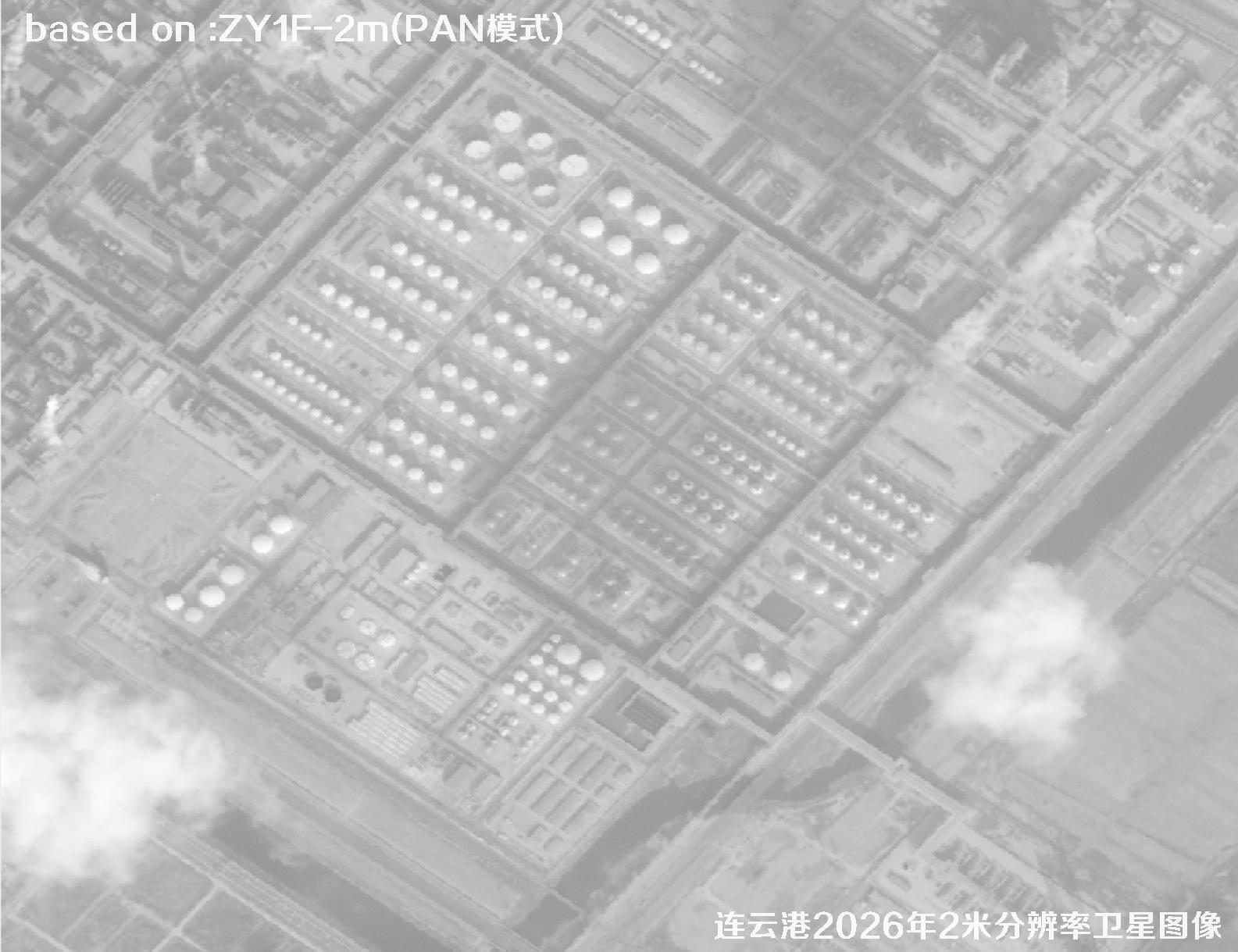
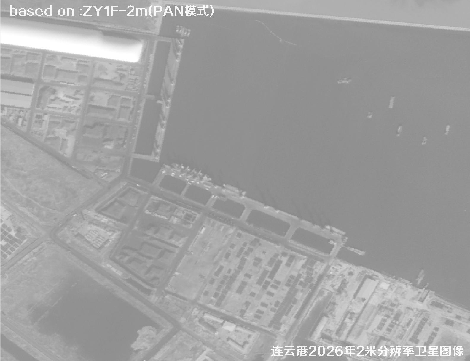
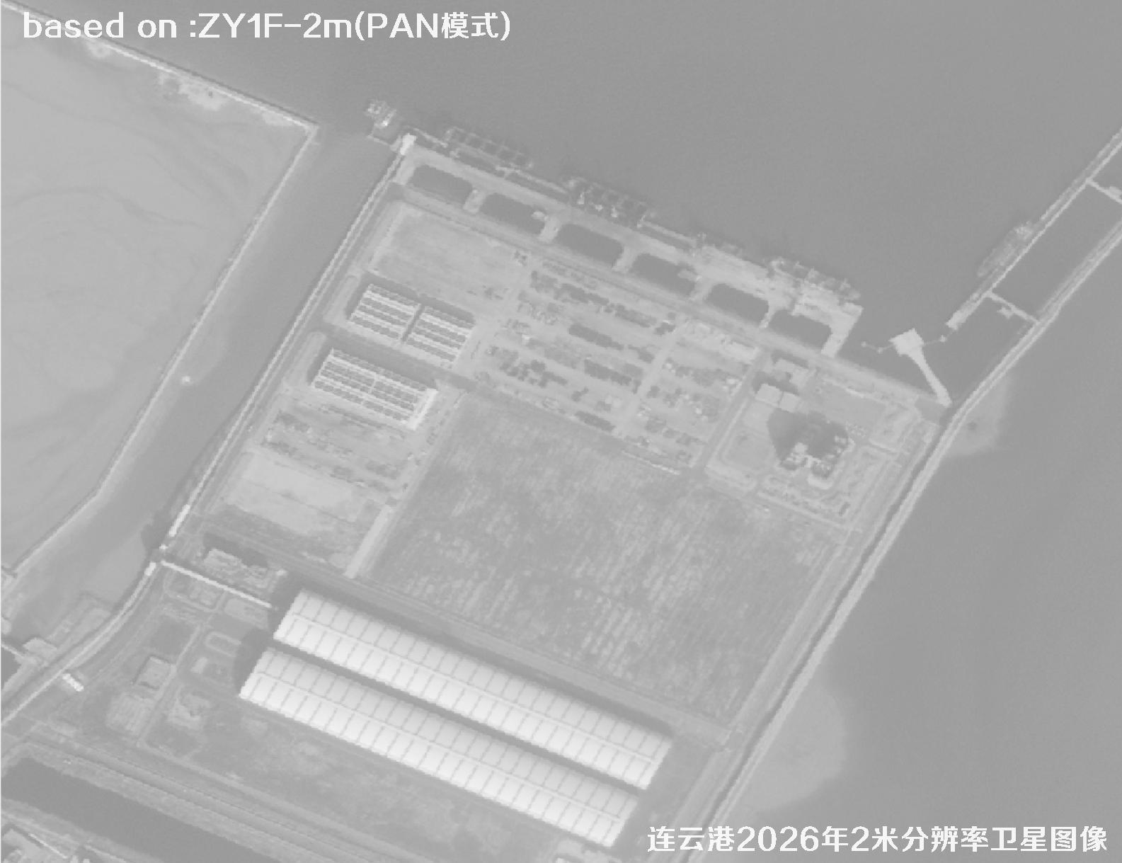
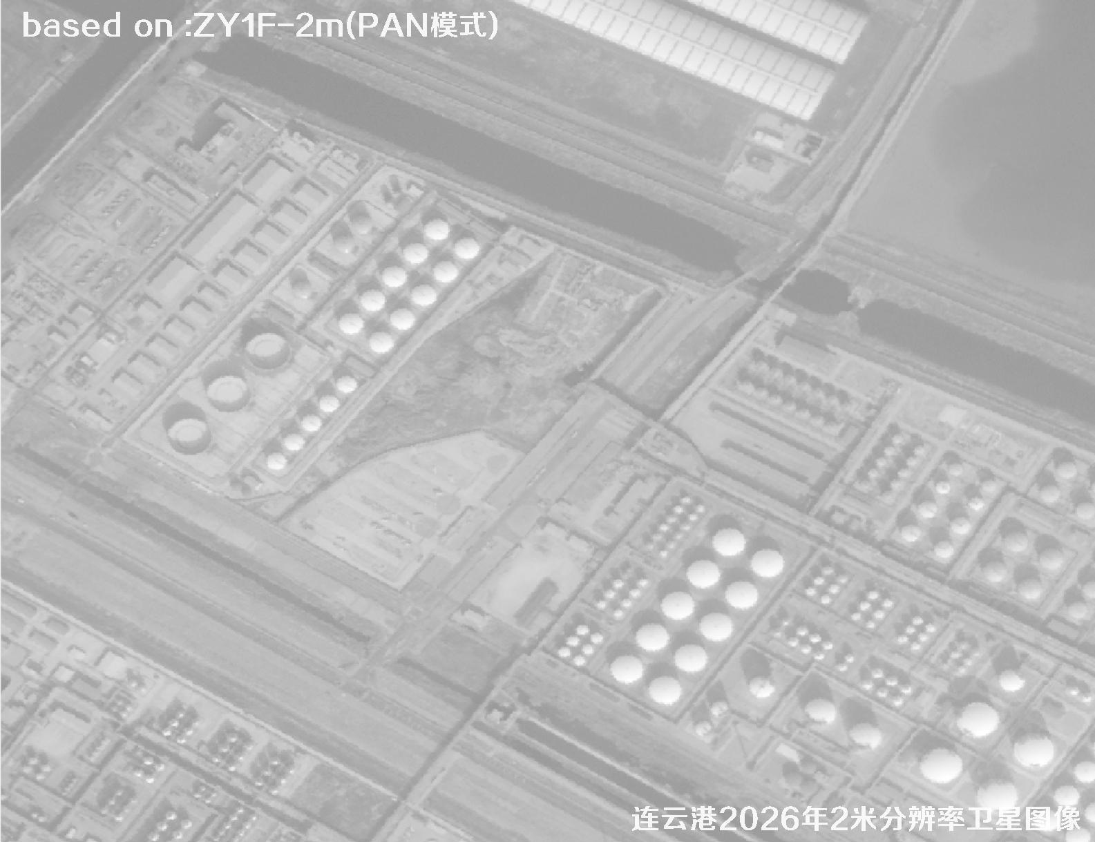
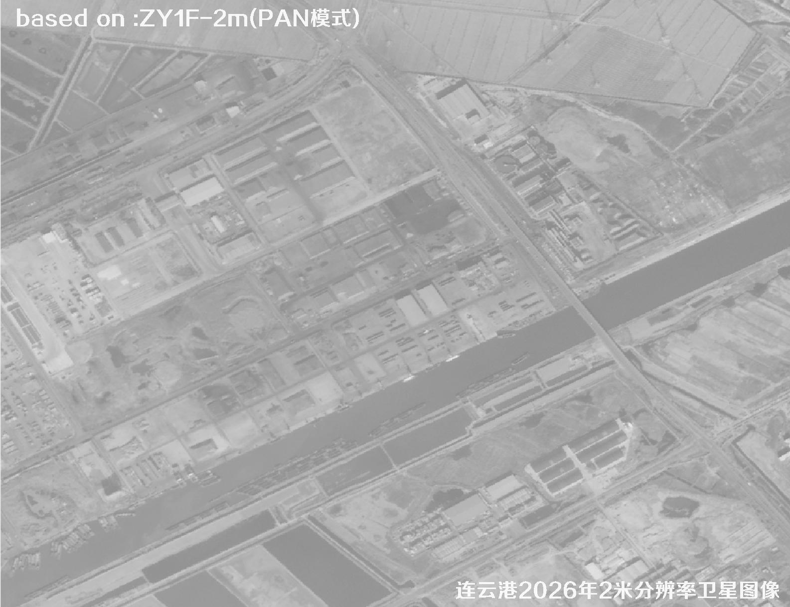
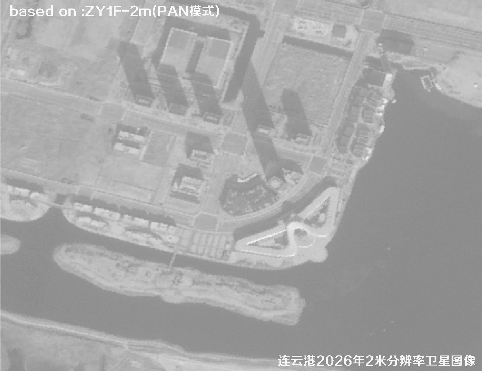
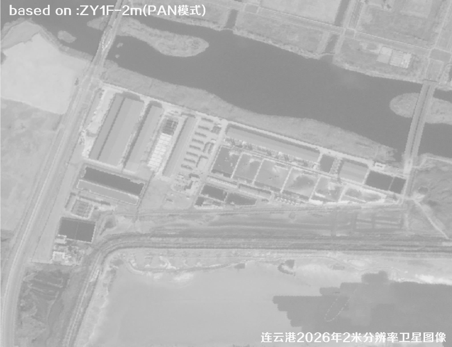
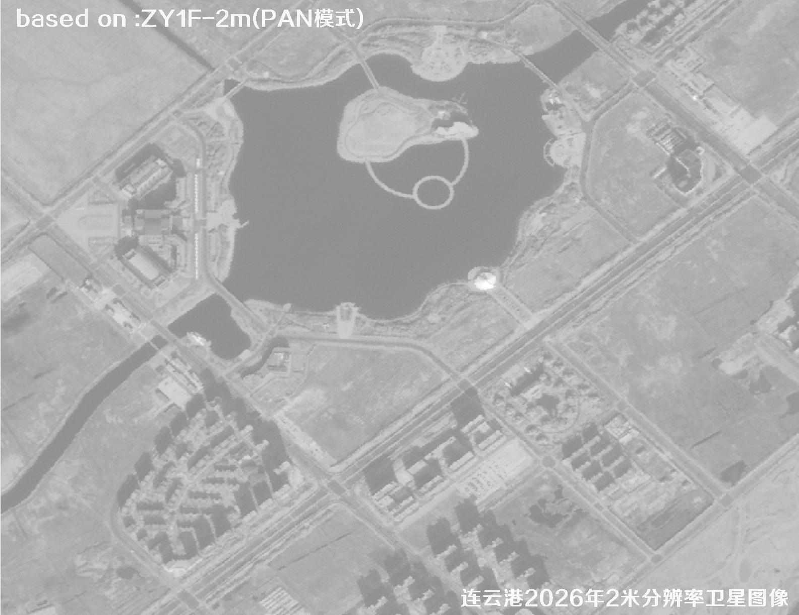
For such a fast-changing port, satellite maps must stay current. The 2-meter class ZY1F satellite offers wide swath, fast revisit and natural colors, clearly showing shorelines, berth counts, moored ships, container storage, new yards and road expansions. Compared with sub-meter narrow-swath data, it covers a whole large port in very few scenes — lower cost and faster delivery, ideal for full-port base-map updates, port planning, throughput estimation and emergency dispatch.
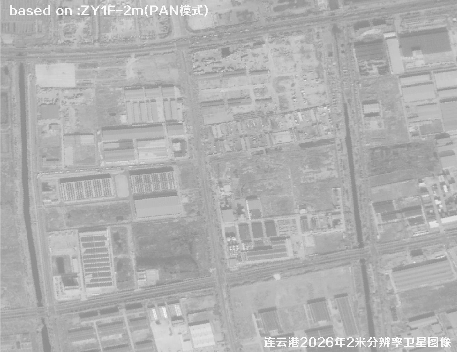
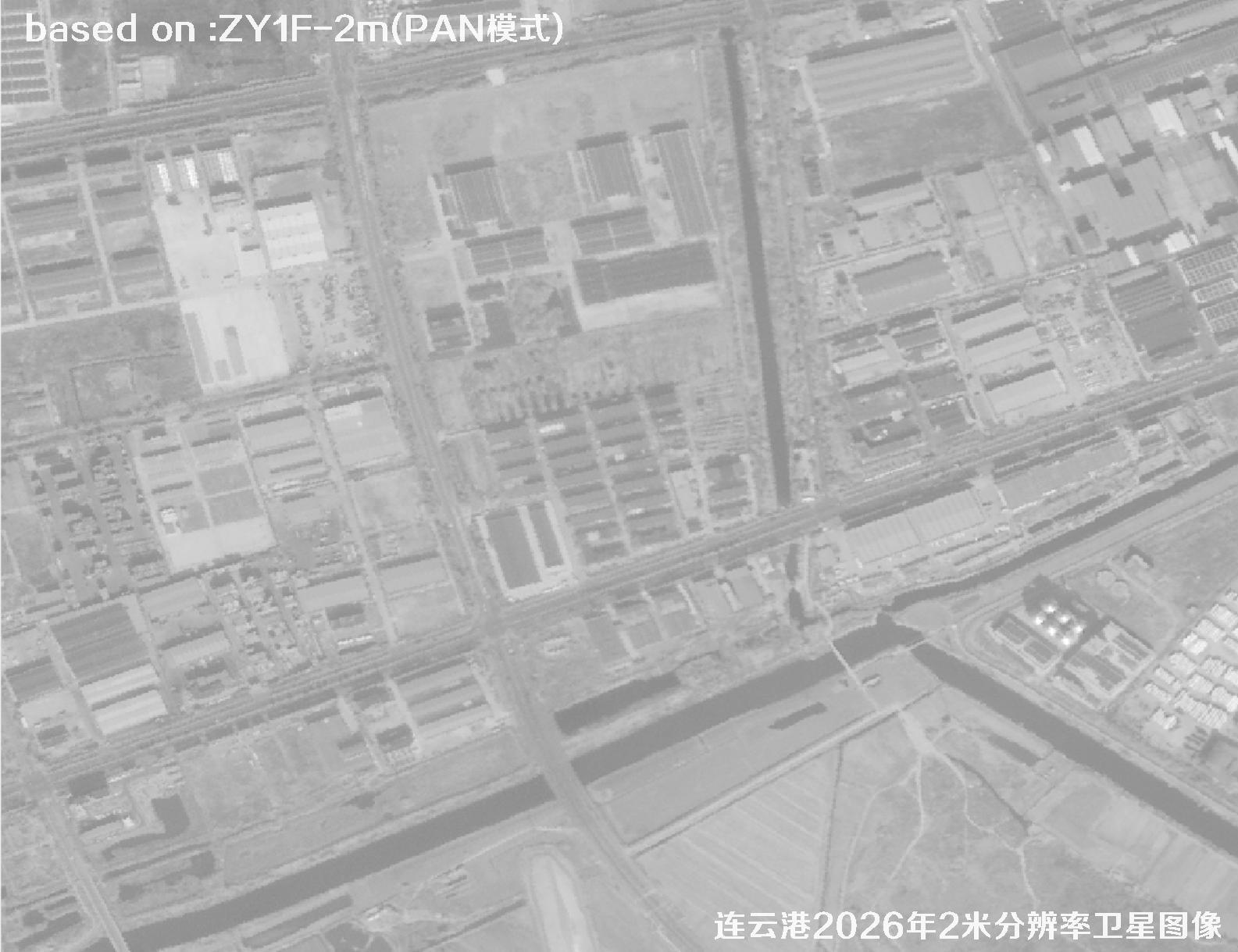
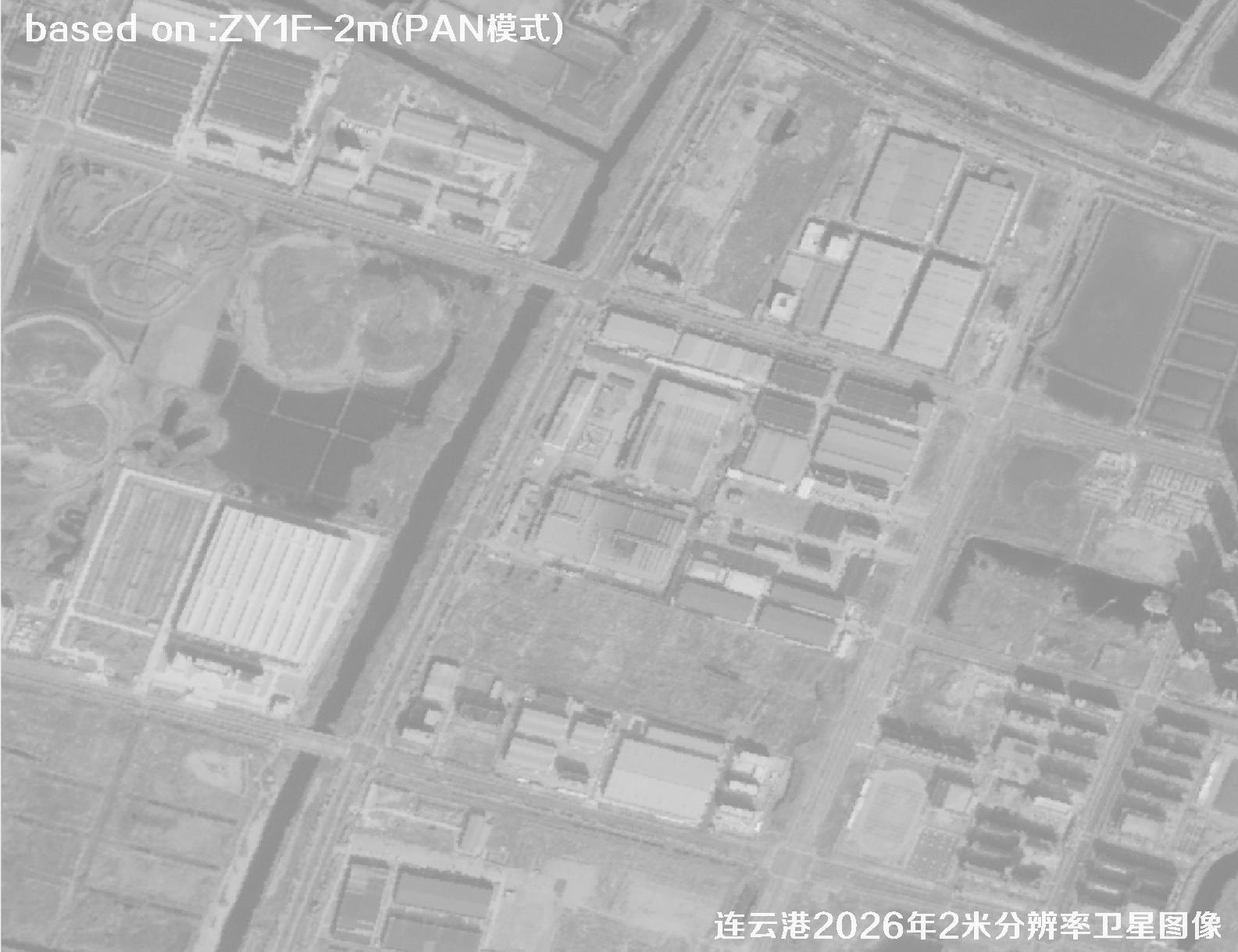
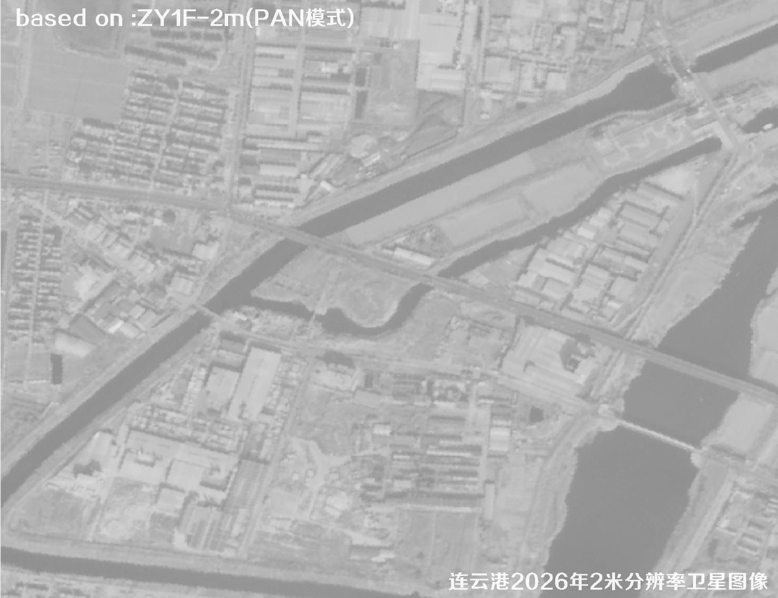
The following images are 2-meter resolution satellite images of Lianyungang Port and surroundings captured by the ZY1F satellite in 2026.
ZY1F (ZY-1 02E) is a medium-resolution operational satellite led by China's Ministry of Natural Resources and built by CAST, flying with ZY-1 02D as a constellation. It carries visible-near-infrared, hyperspectral and long-wave infrared cameras for all-weather, multi-band observation with stable, nationwide coverage.
With rich layers and high geolocation accuracy, ZY1F is ideal for land surveys, geographic monitoring, ports, coastal zones and urban expansion updates. For a large scene like Lianyungang Port, one image can cover the whole harbor — fast and economical, a common base-map source for internet maps and industrial GIS.
⚓Lianyungang 2026 Satellite Imagery Total: 48 images
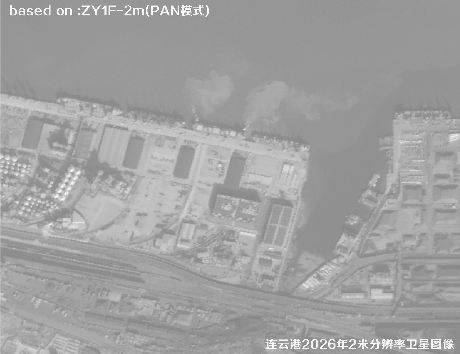 Sample
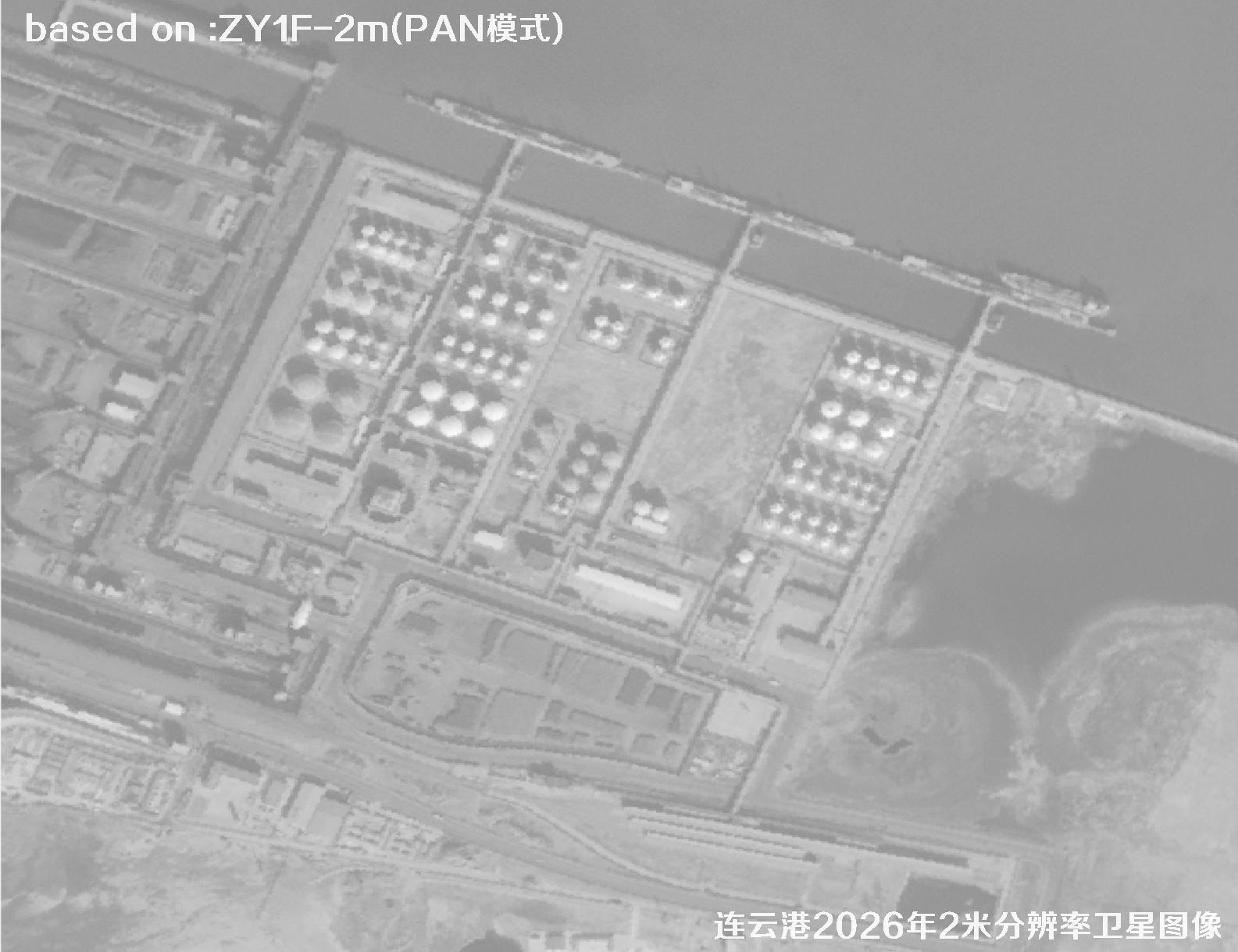 Sample
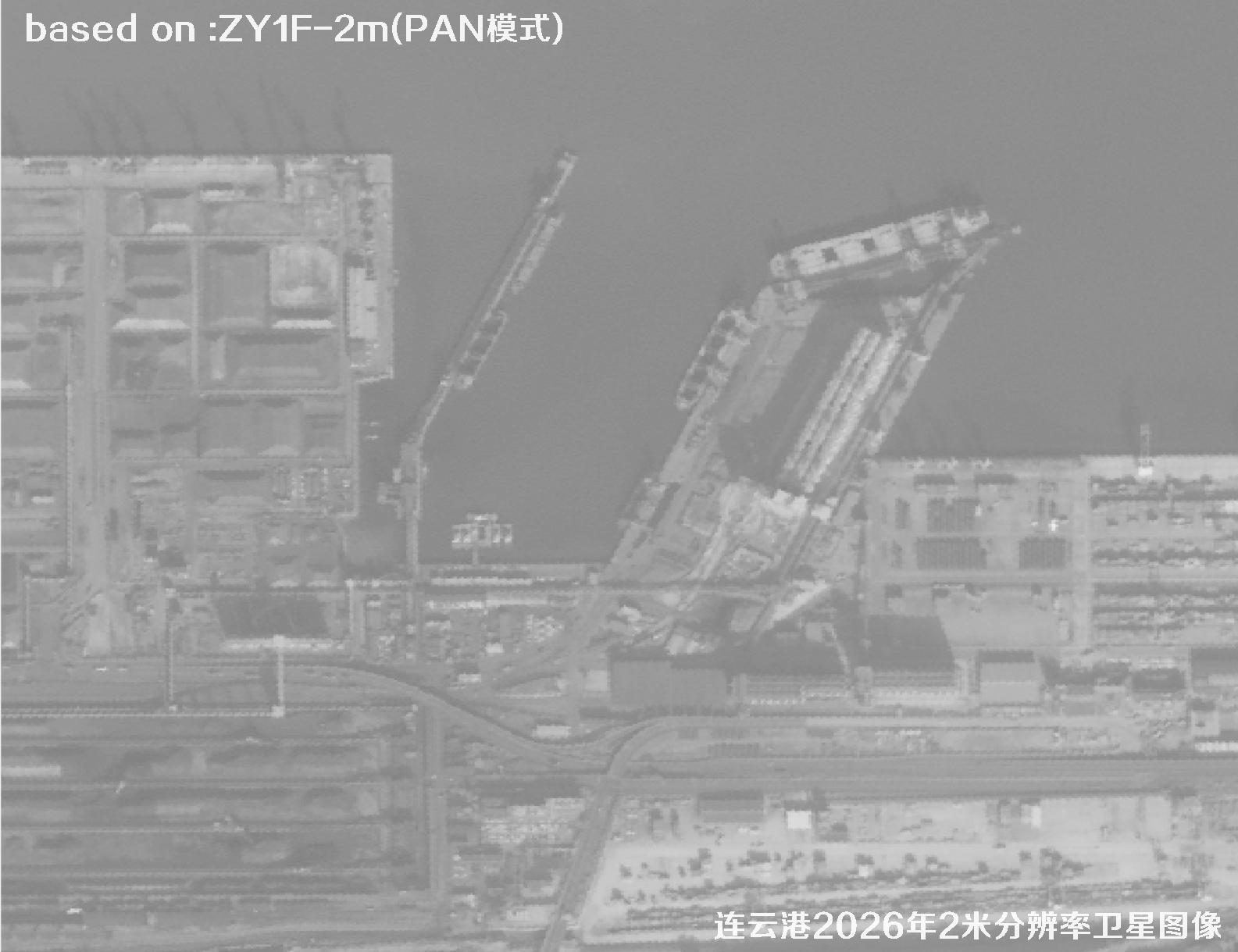 Sample
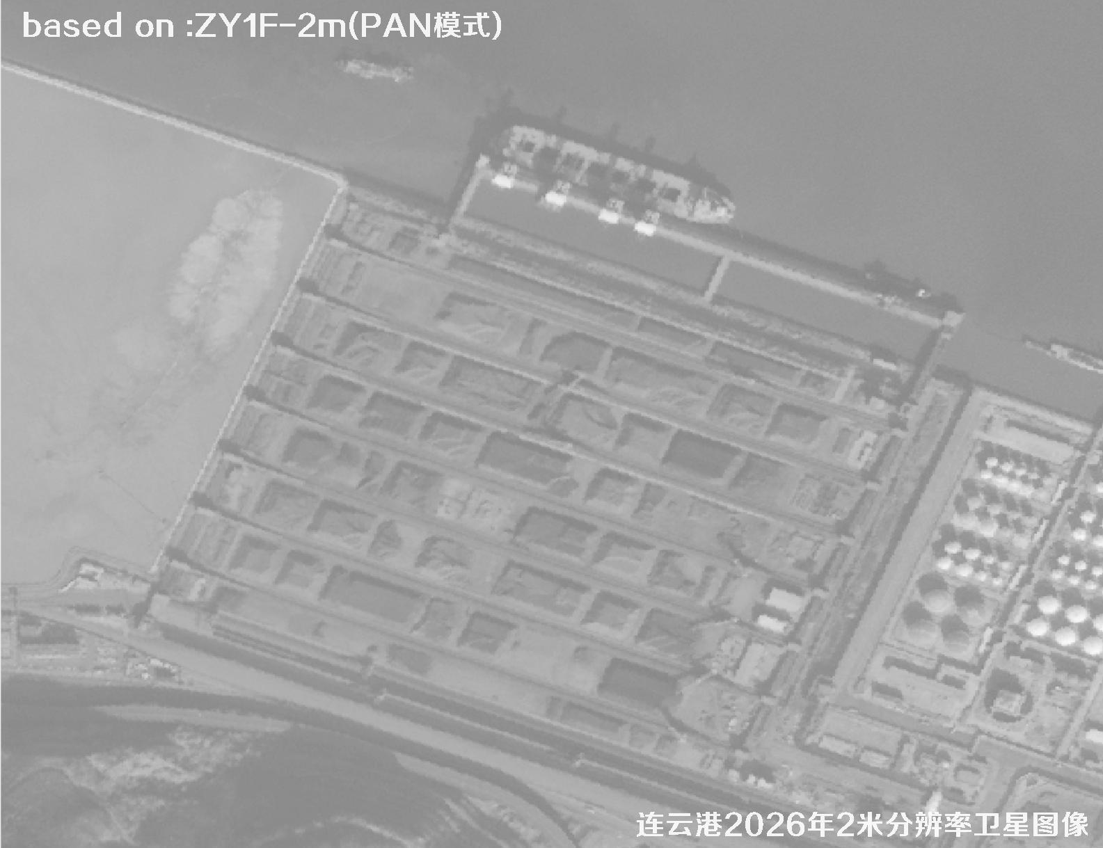 Sample
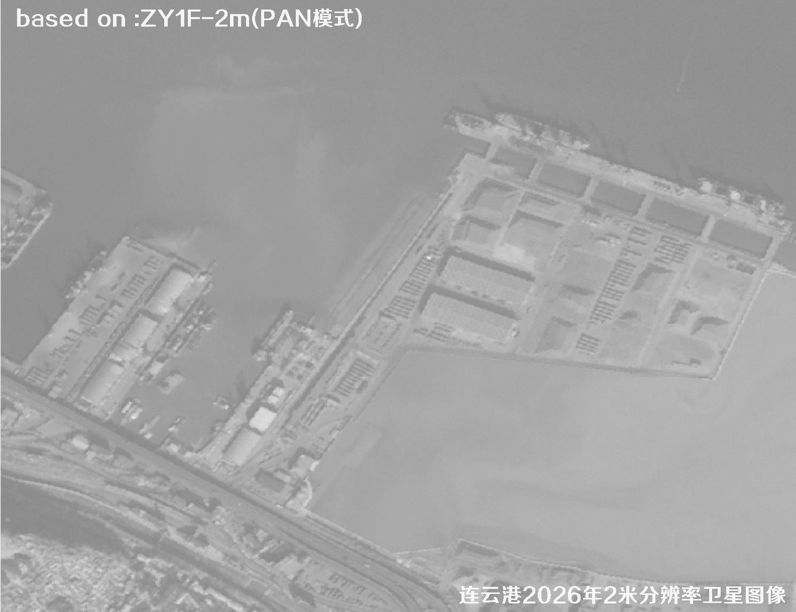 Sample
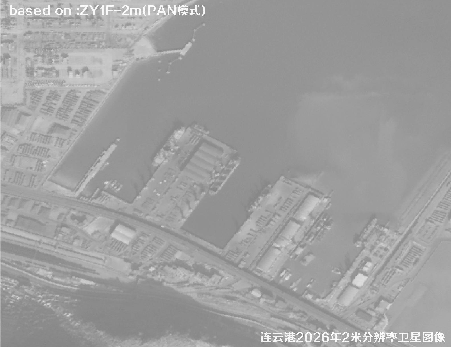 Sample
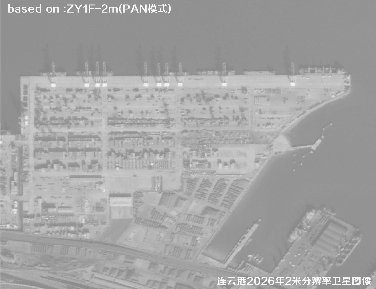 Sample
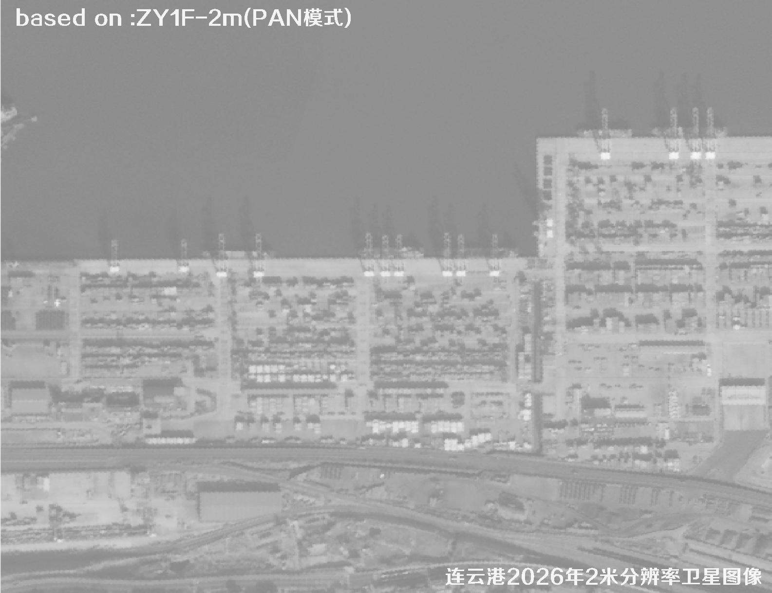 Sample
 Sample
 Sample
 Sample
 Sample
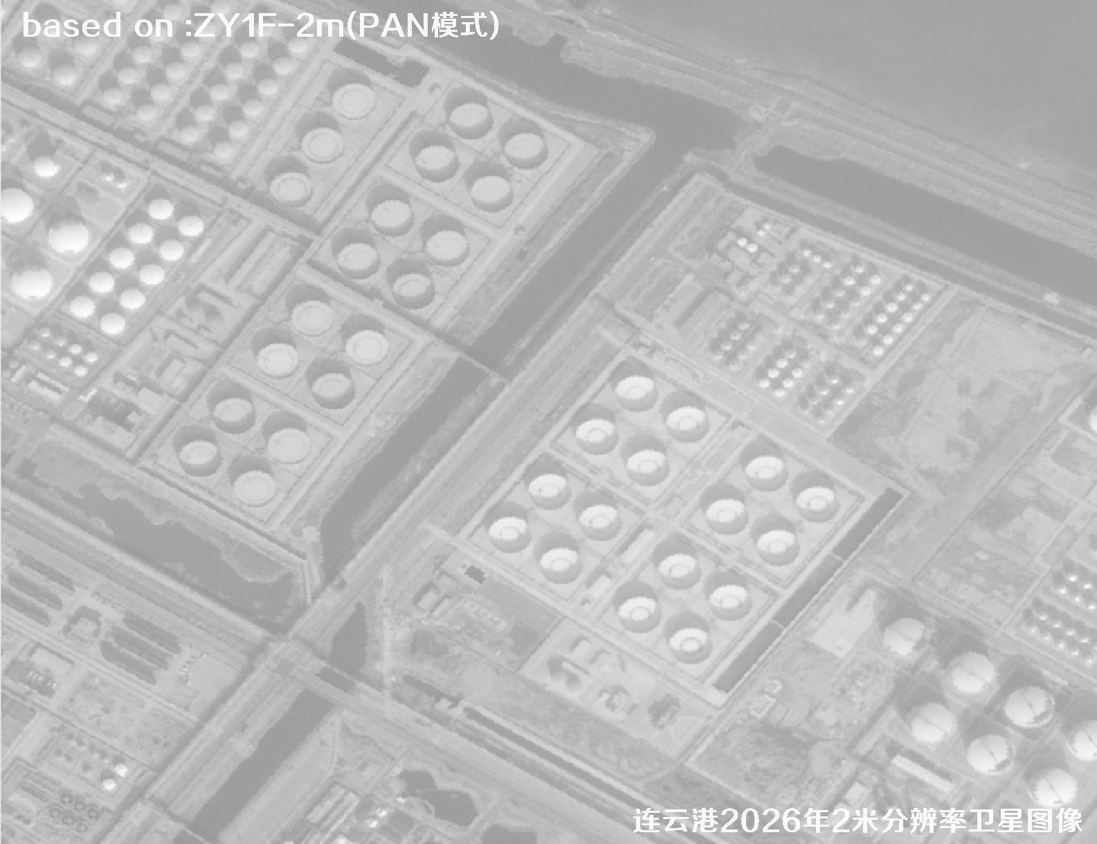 Sample
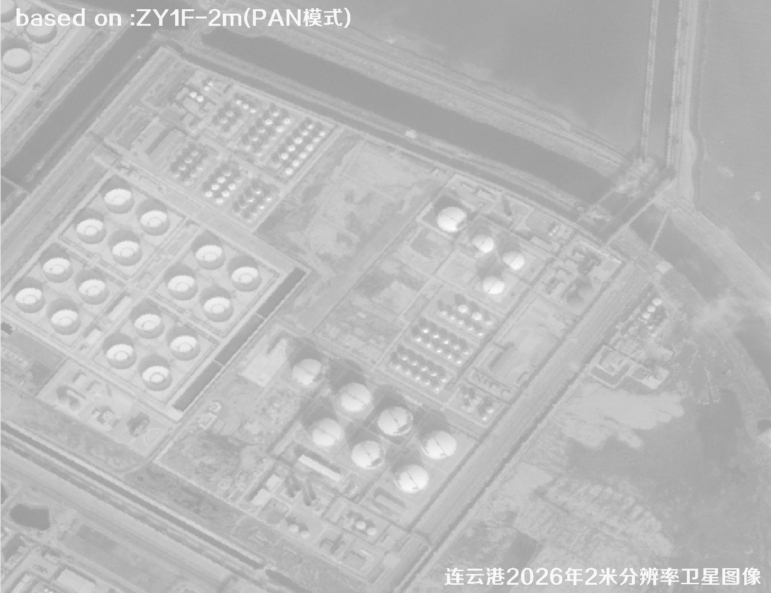 Sample
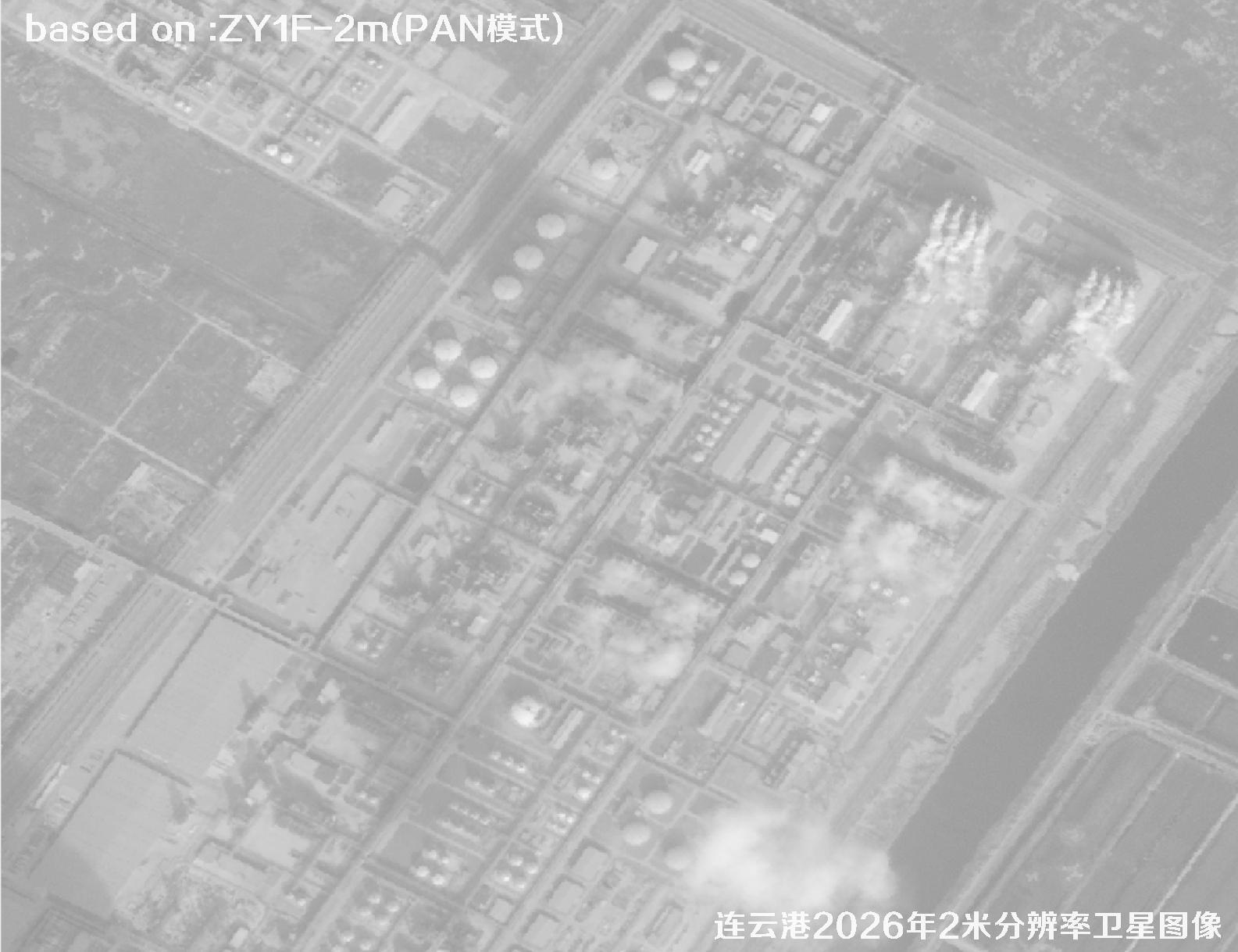 Sample
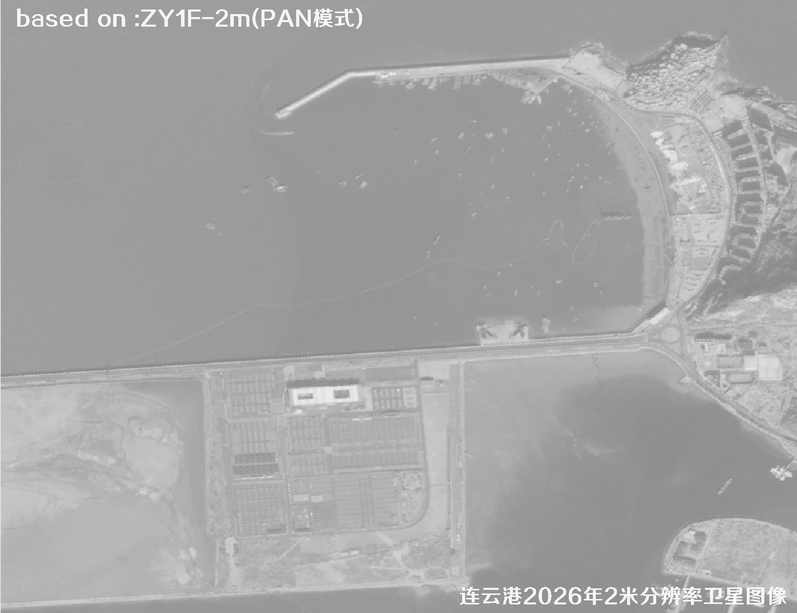 Sample
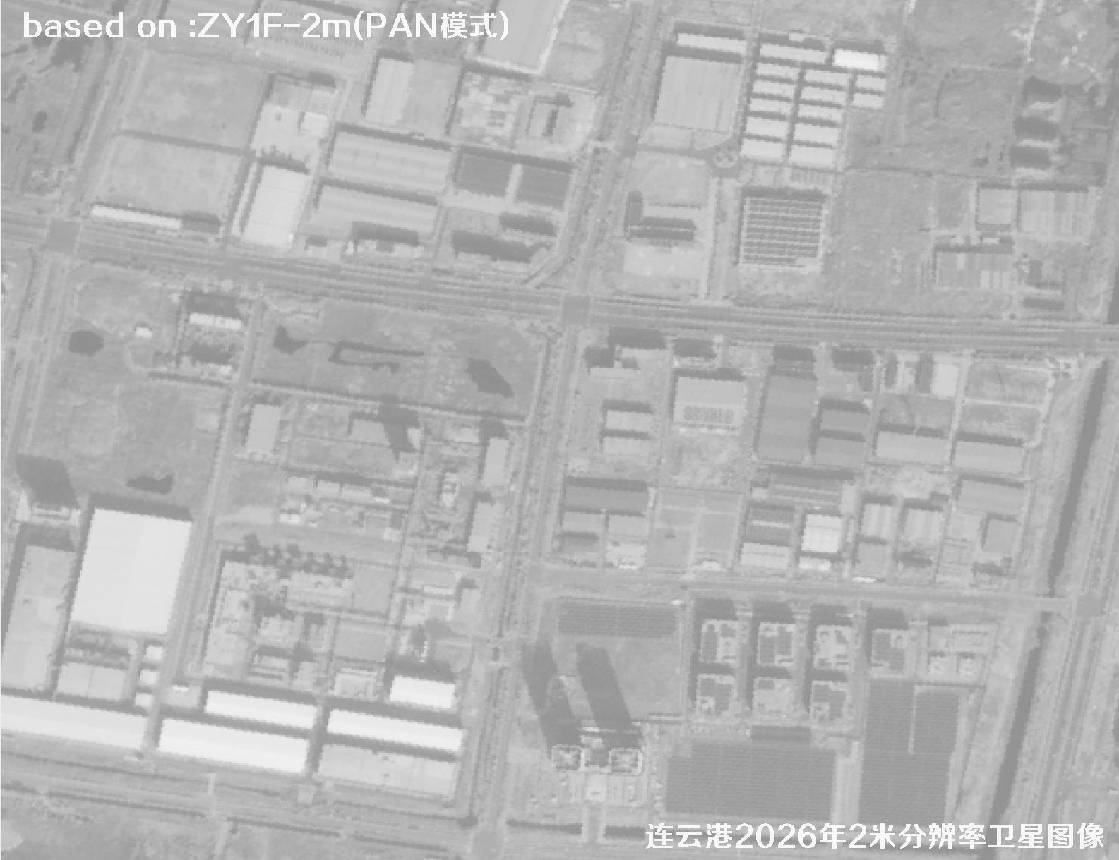 Sample
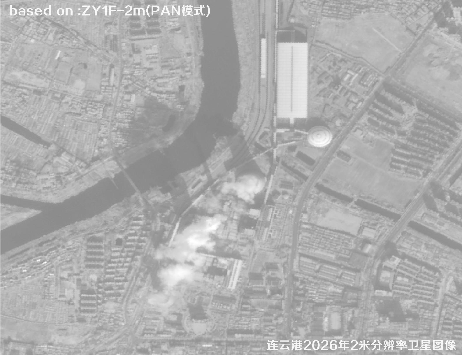 Sample
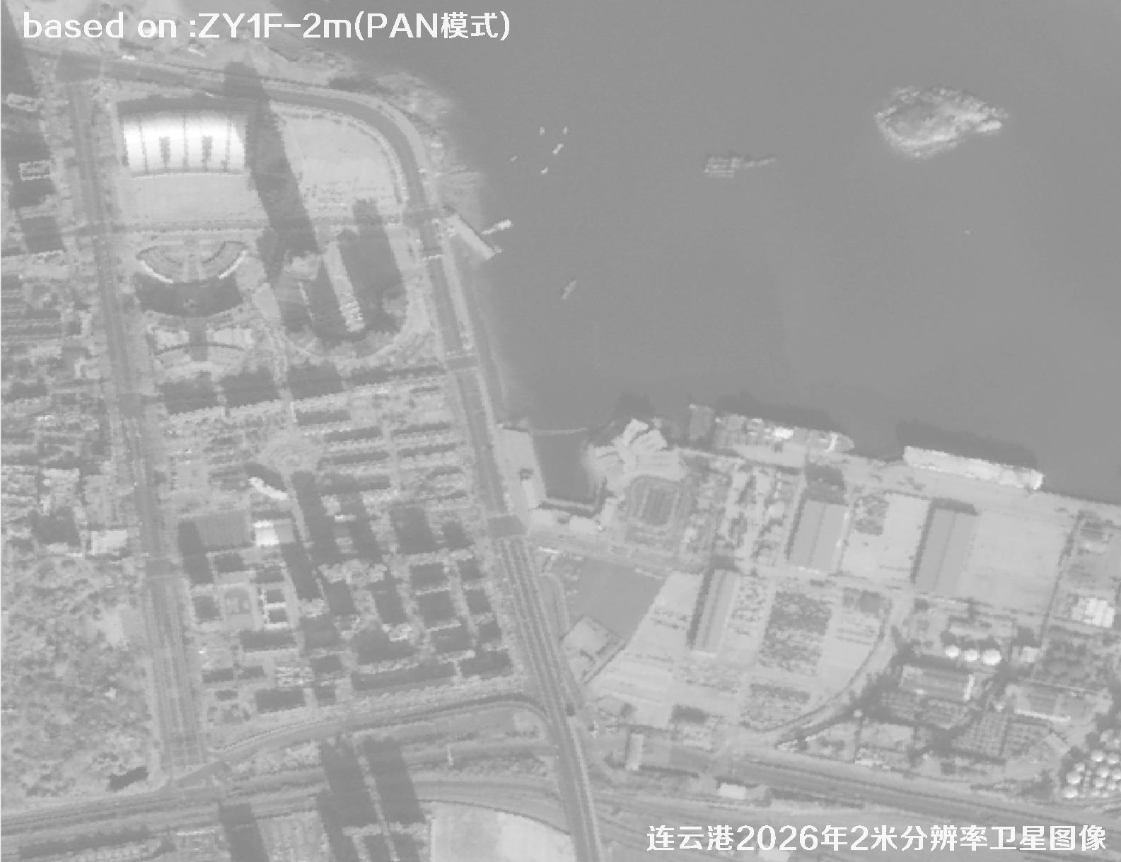 Sample
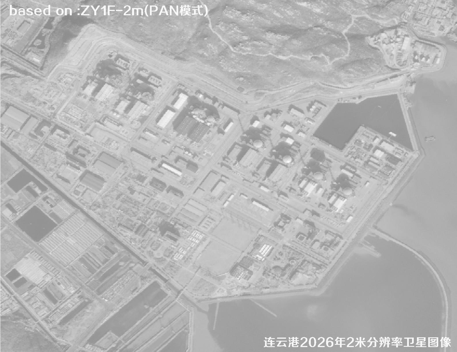 Sample
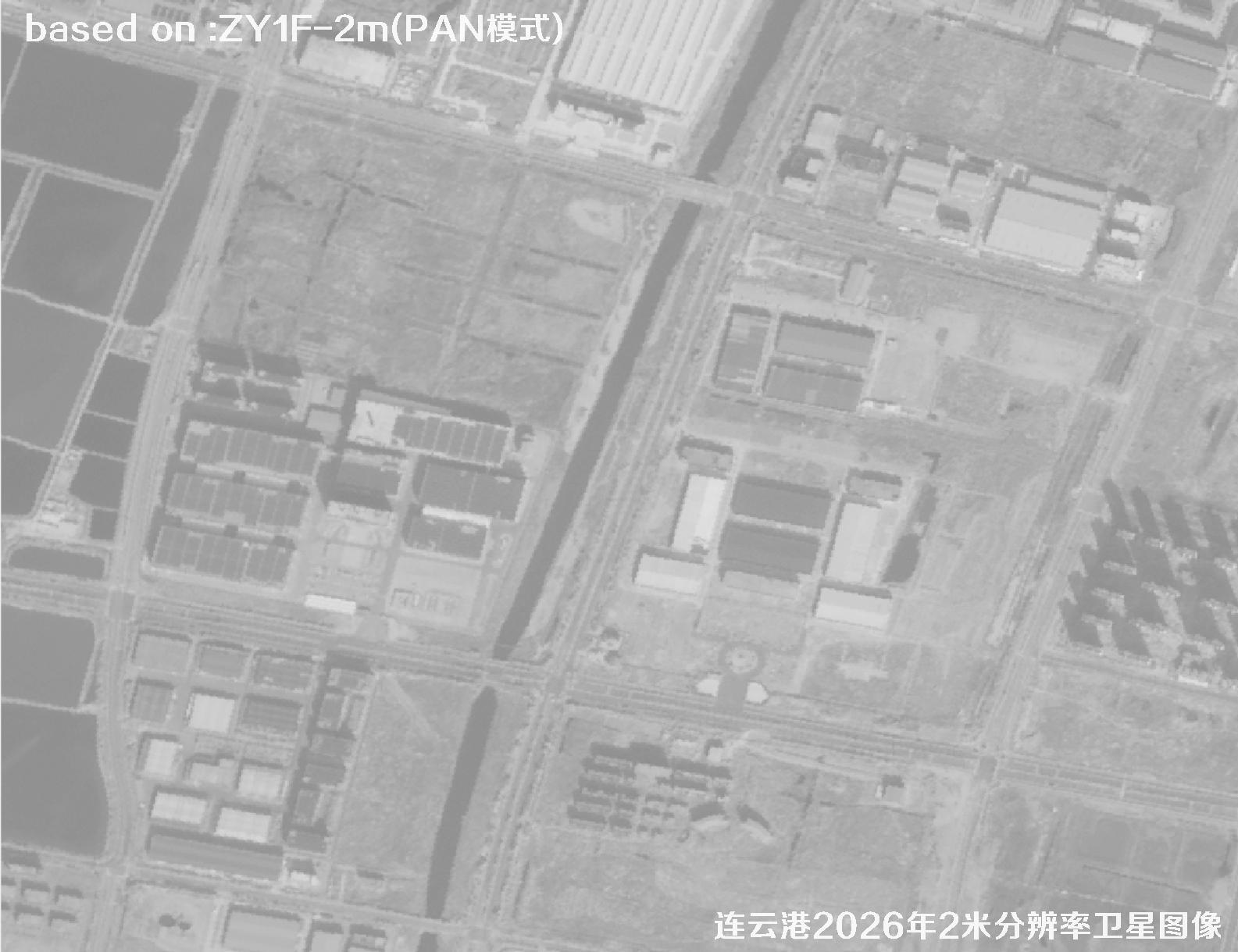 Sample
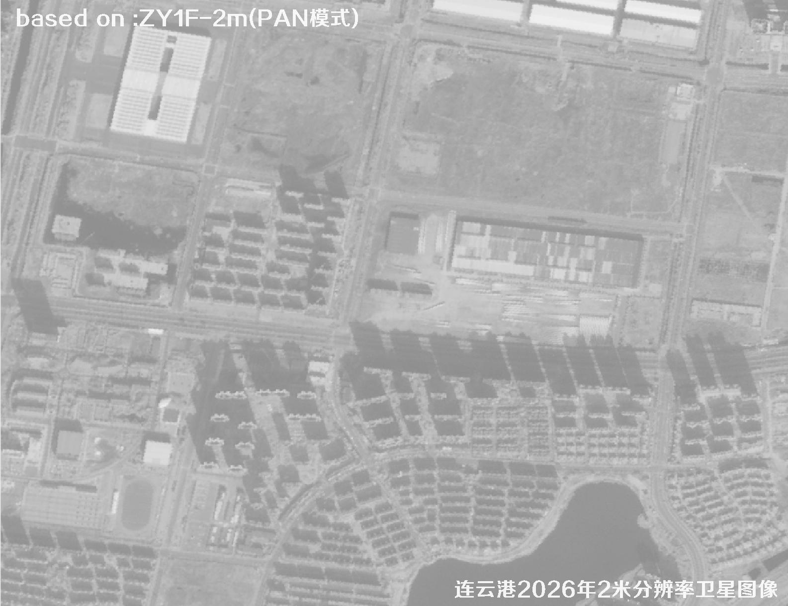 Sample
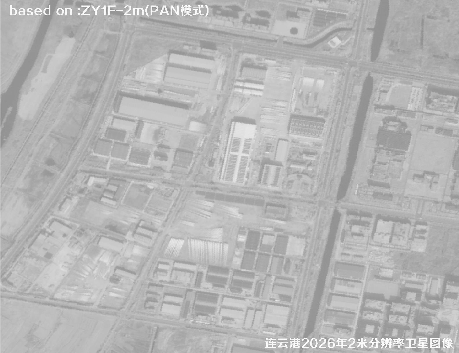 Sample
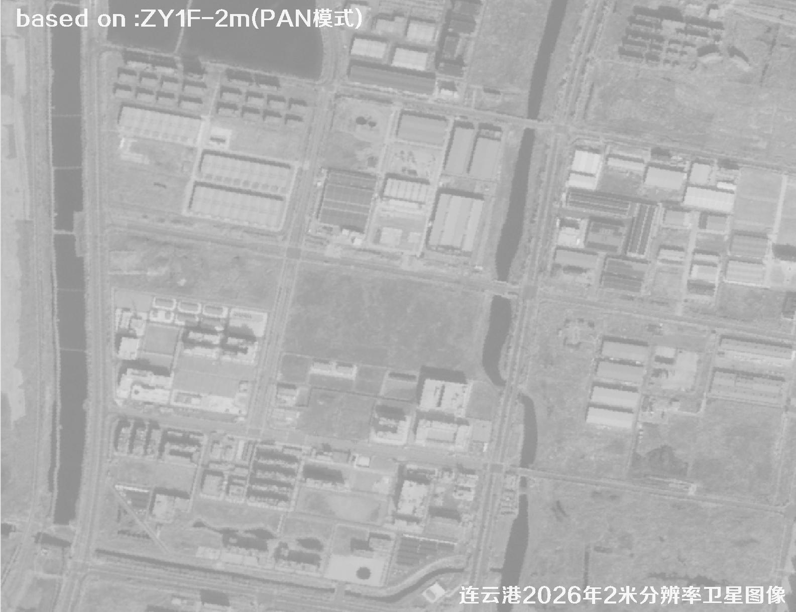 Sample
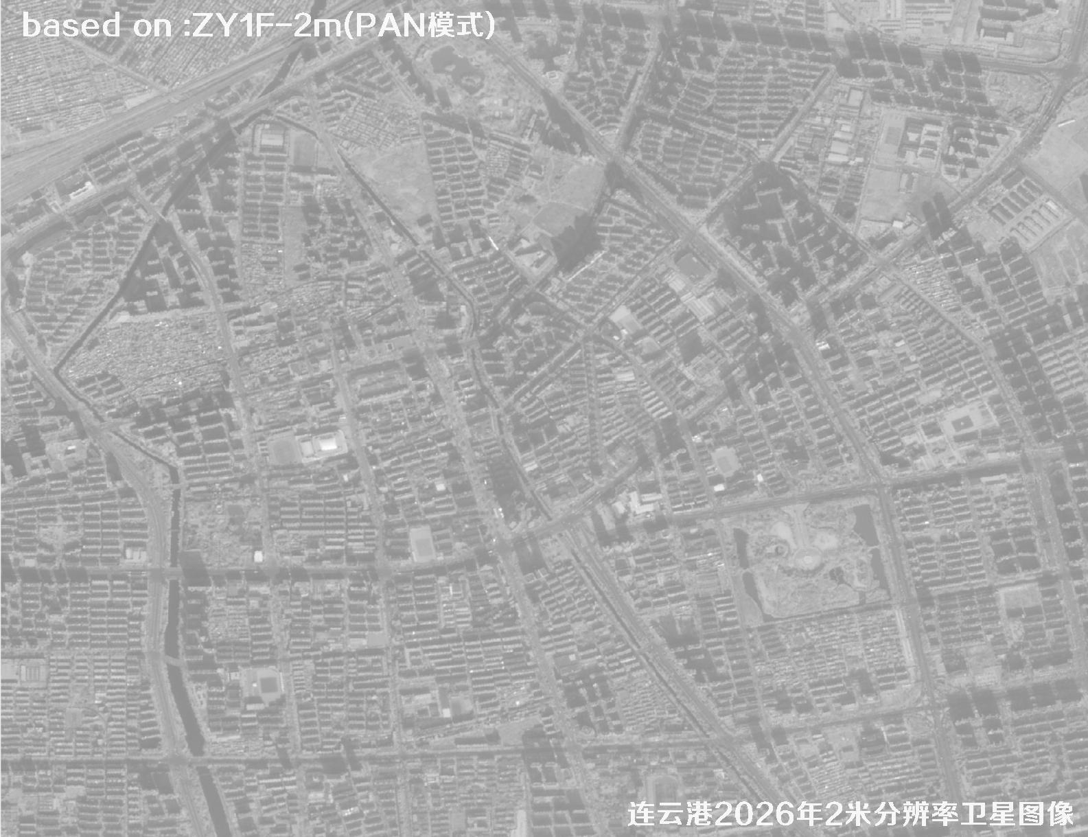 Sample
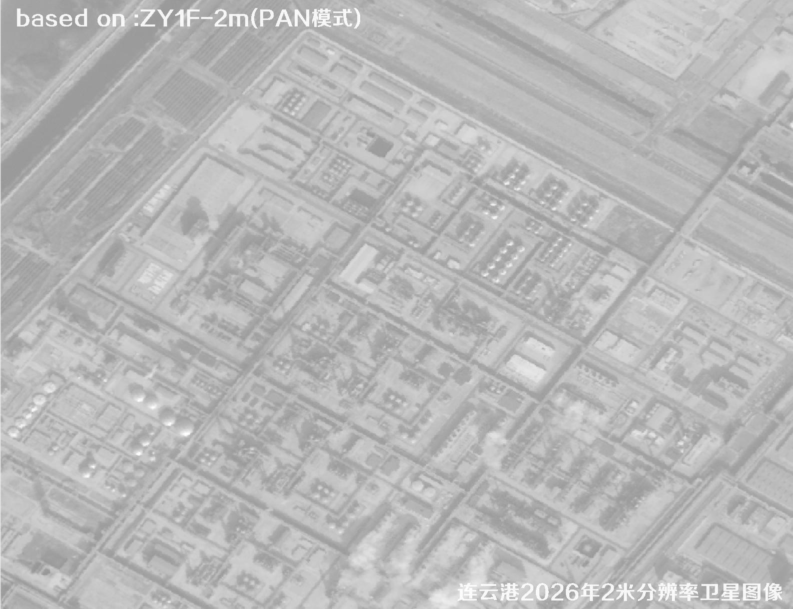 Sample
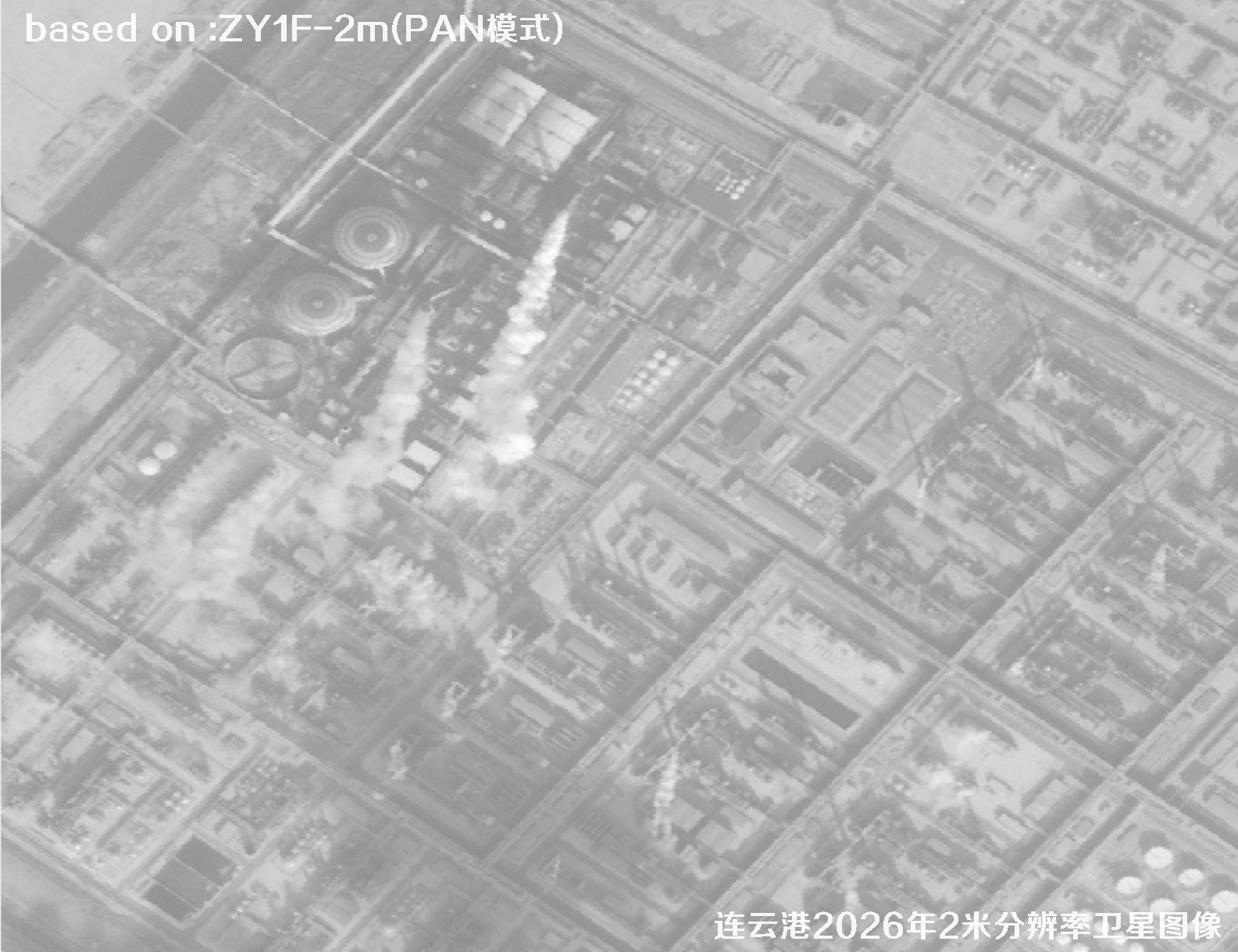 Sample
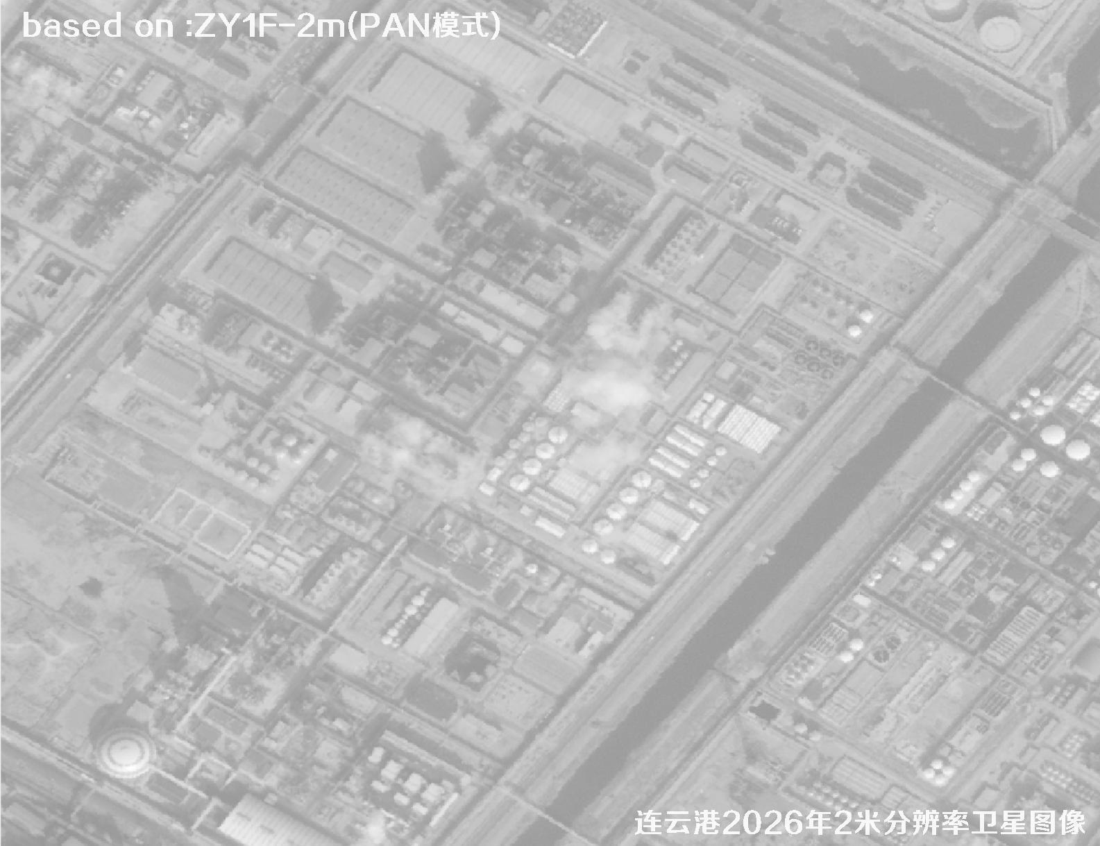 Sample
 Sample
 Sample
 Sample
 Sample
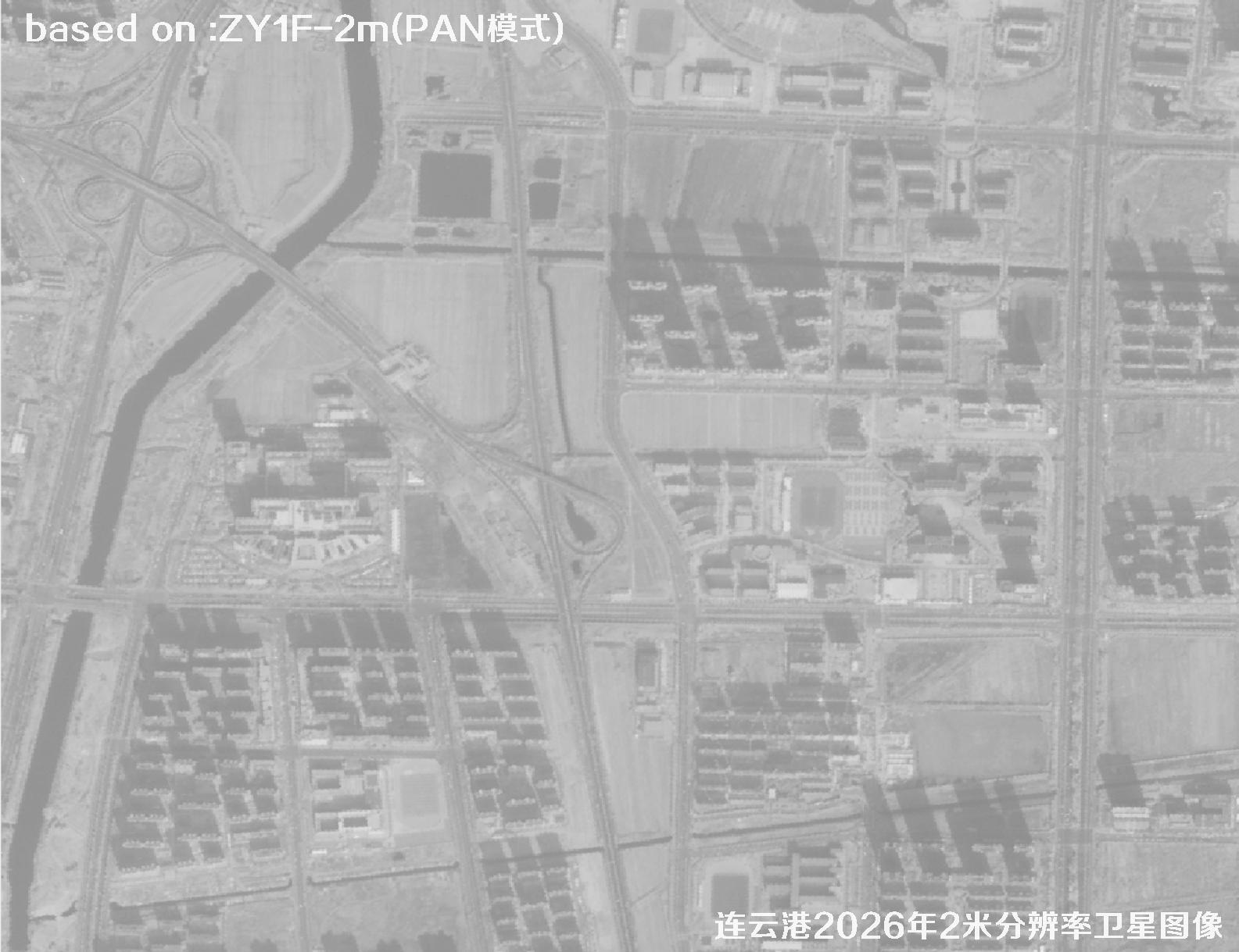 Sample
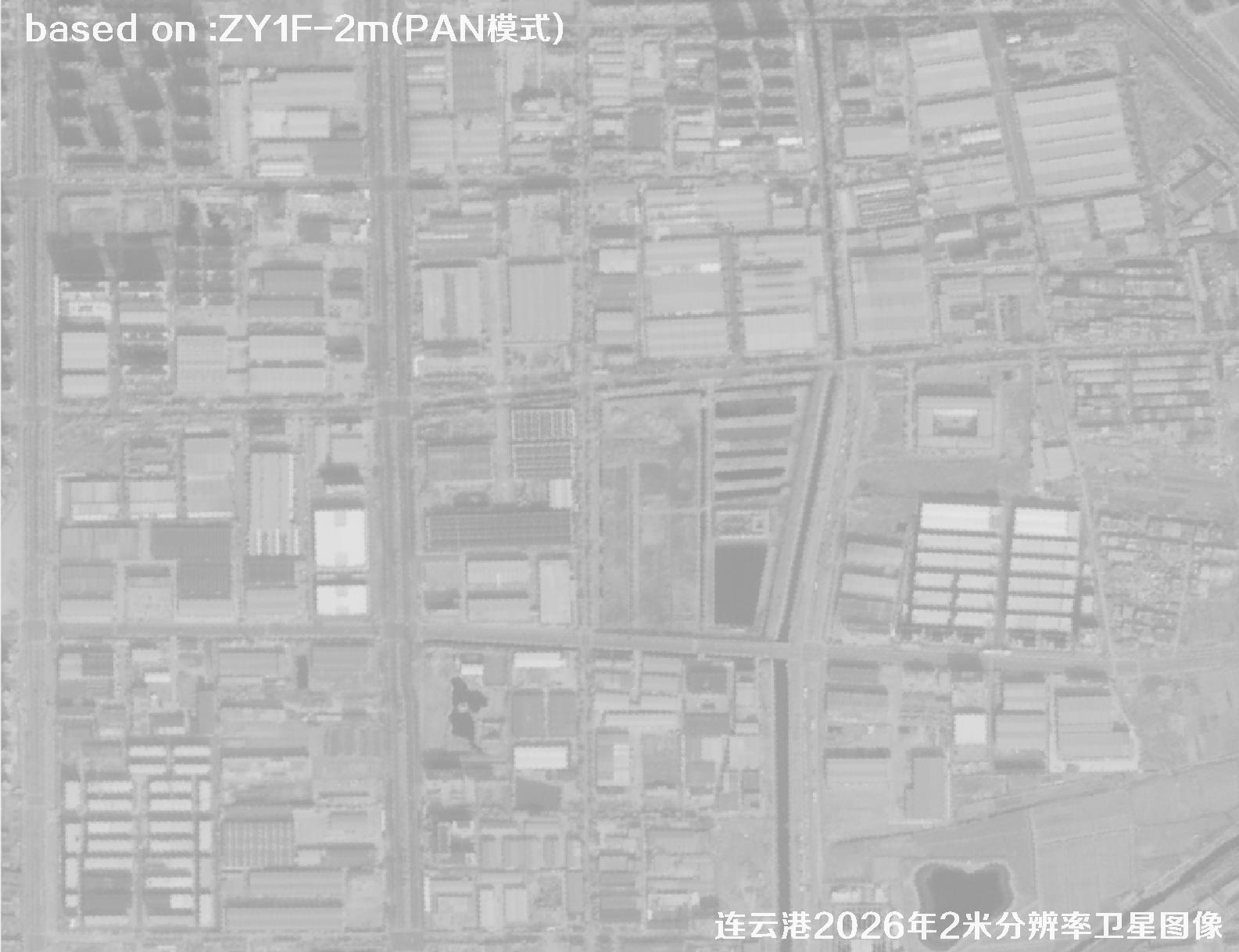 Sample
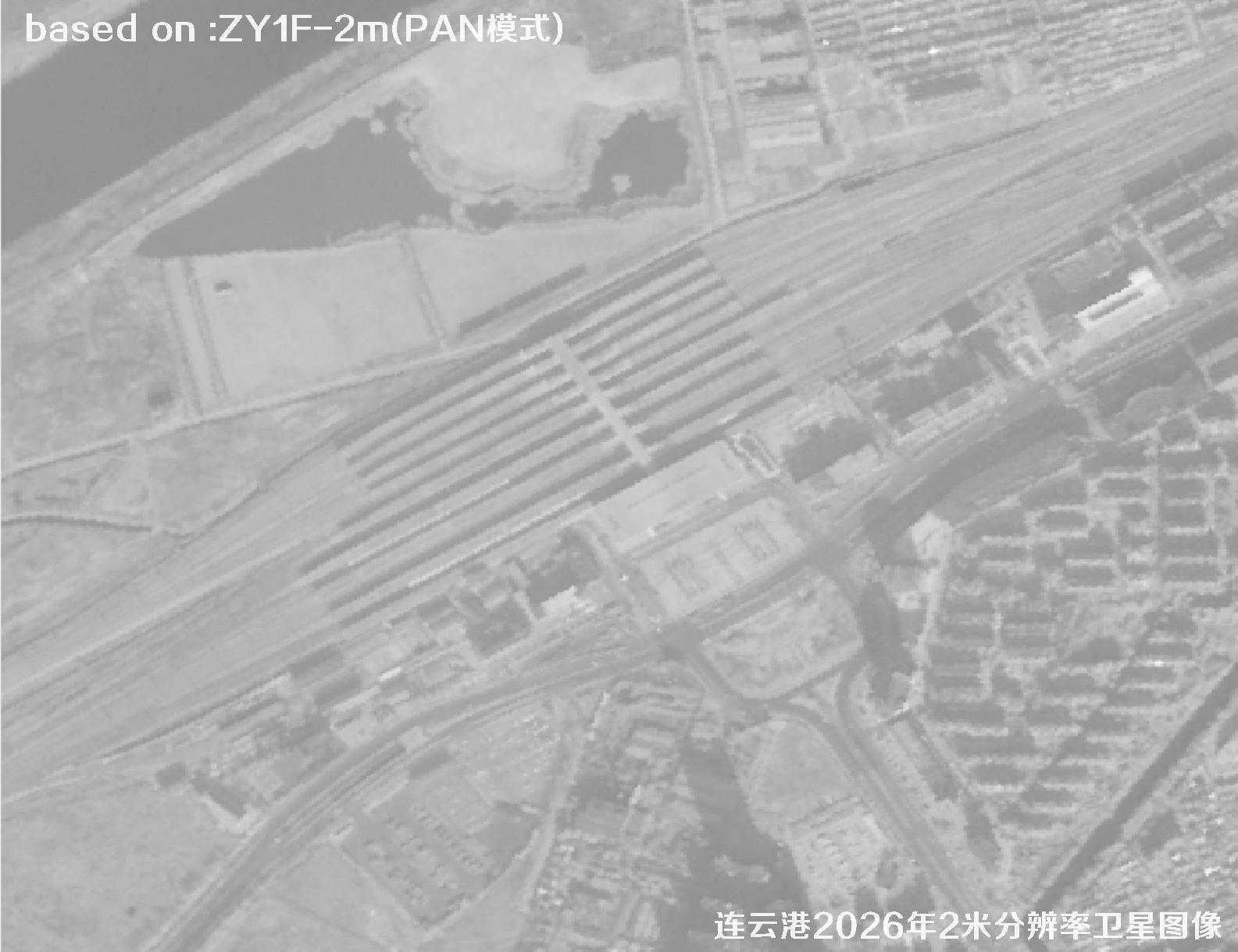 Sample
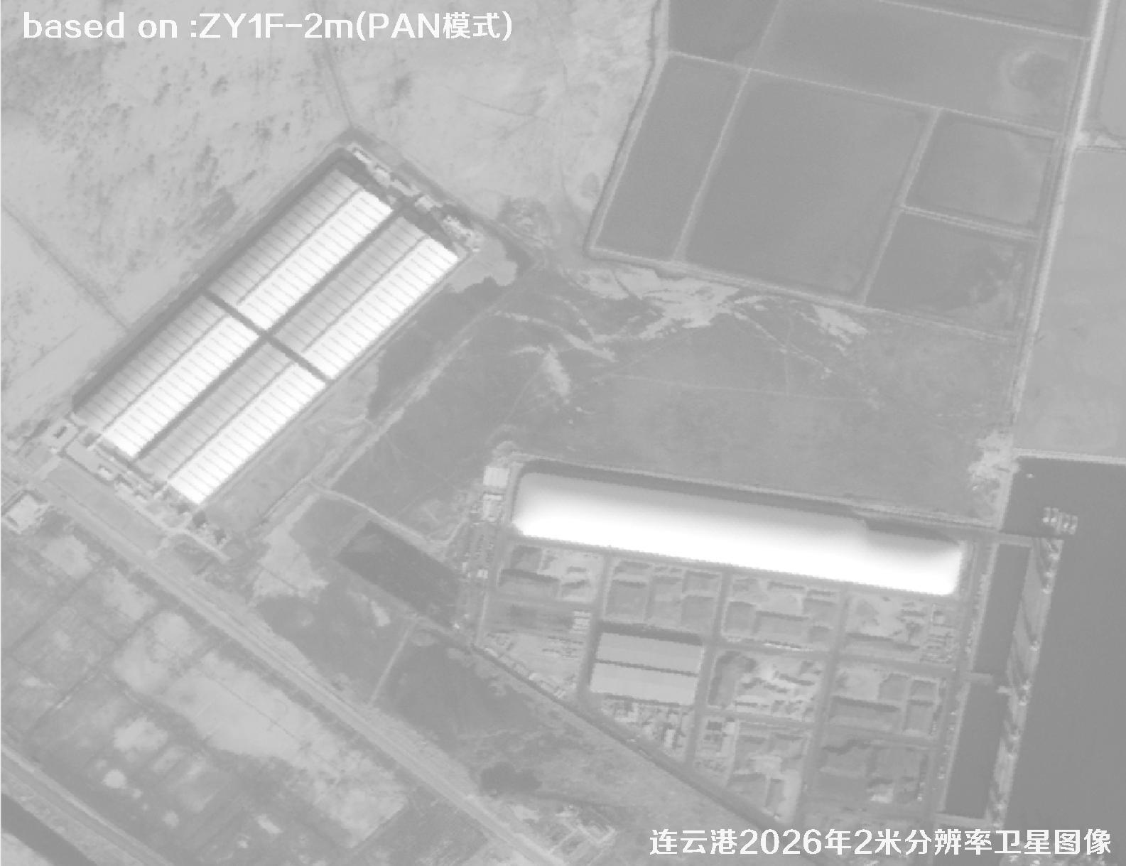 Sample
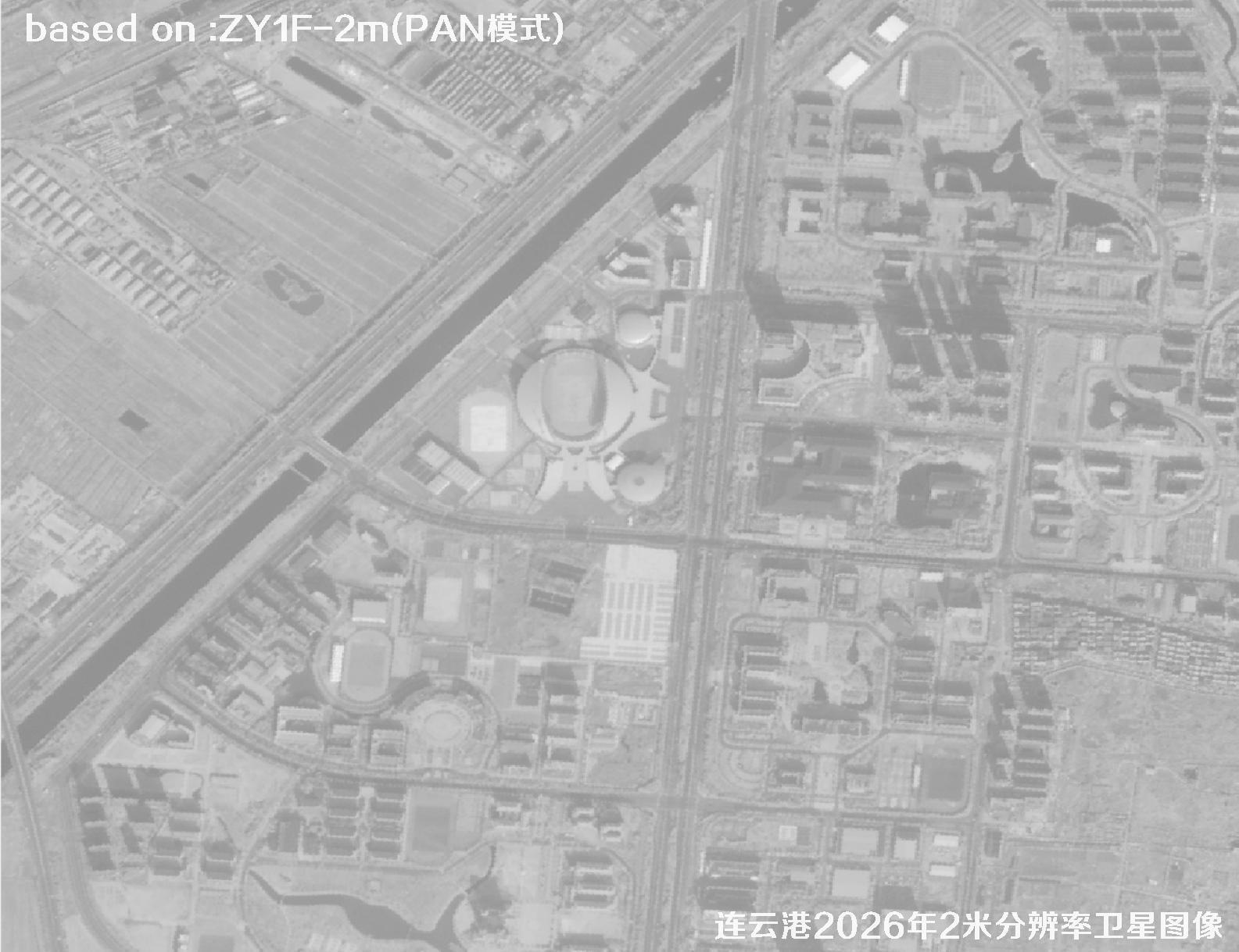 Sample
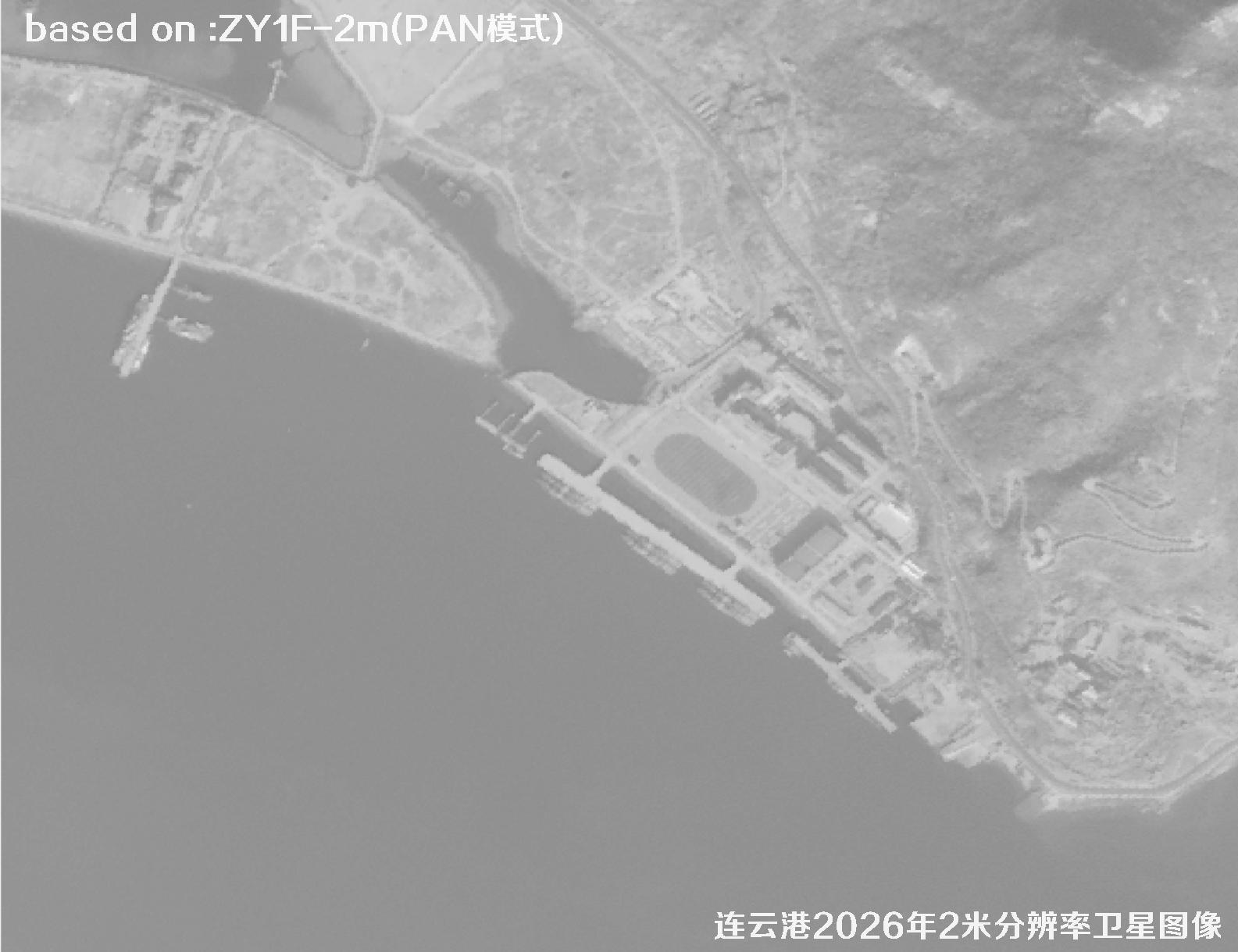 Sample
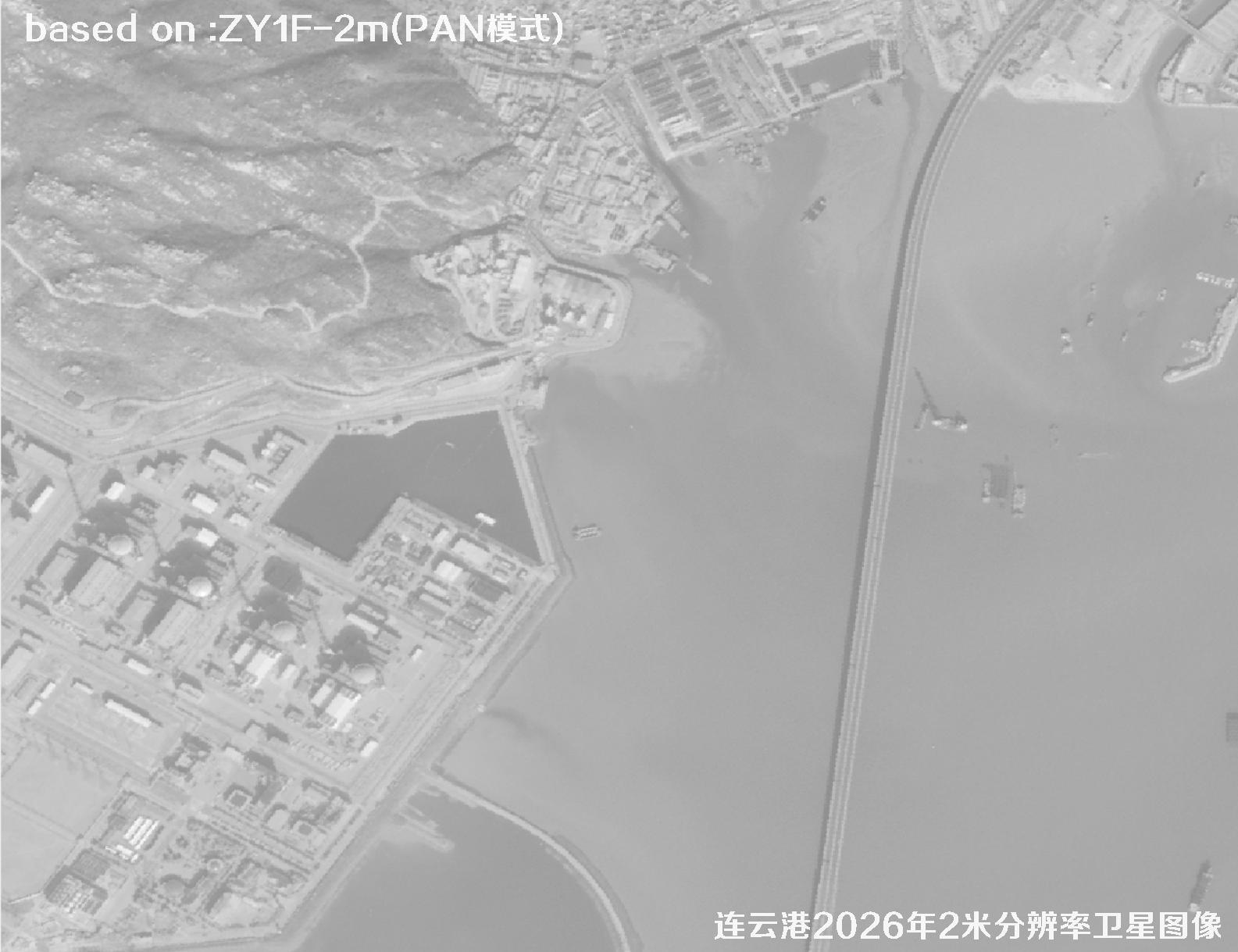 Sample
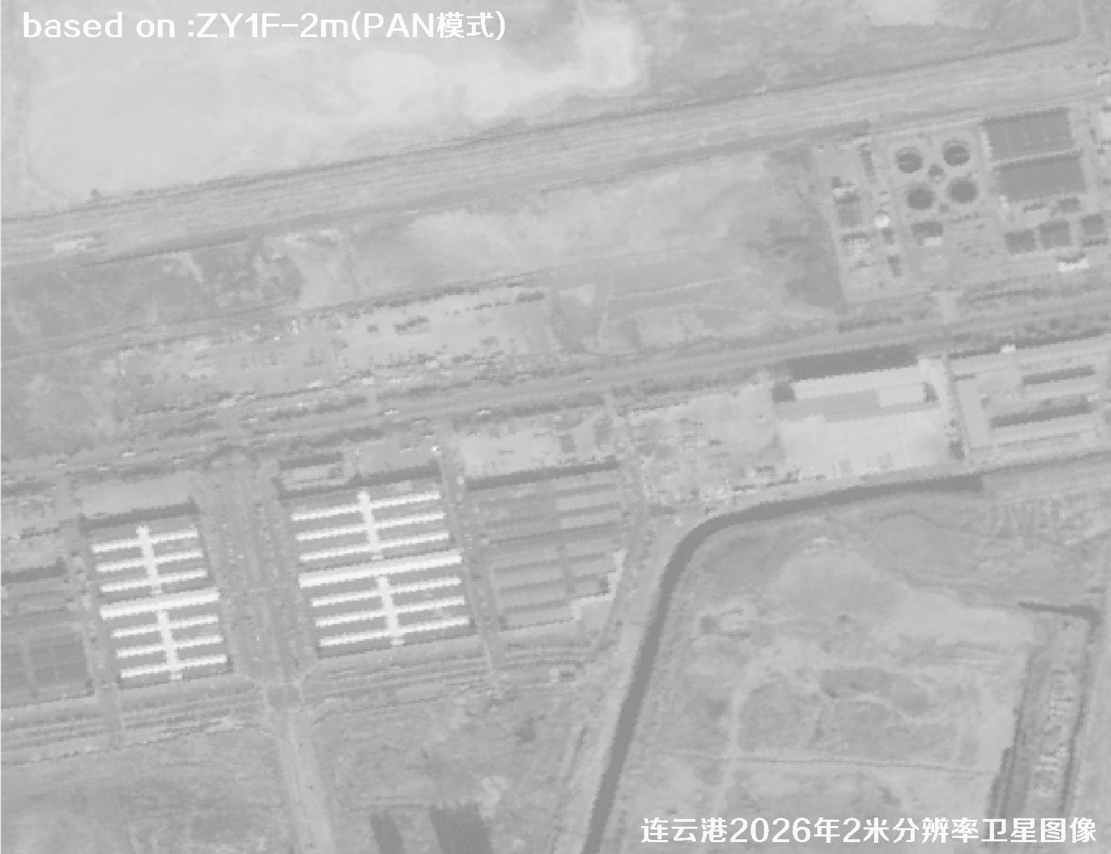 Sample
 Sample
 Sample
 Sample
 Sample
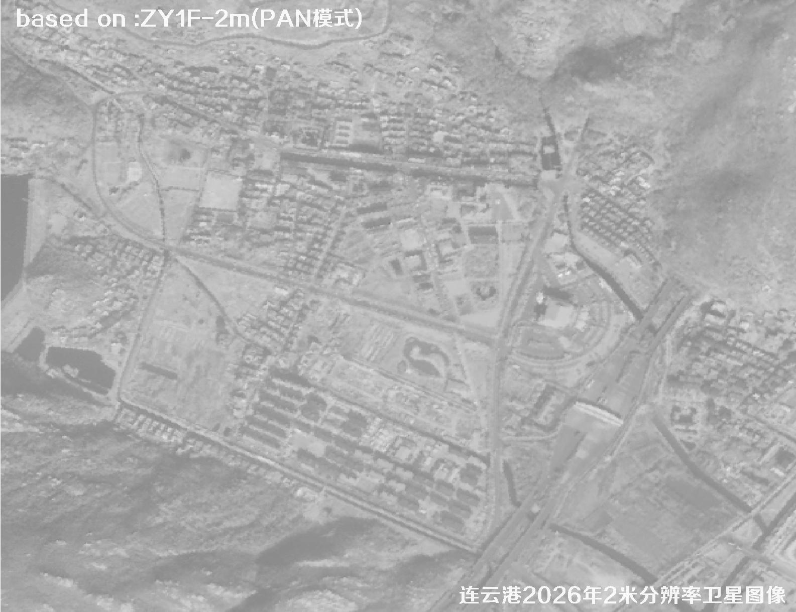 Sample
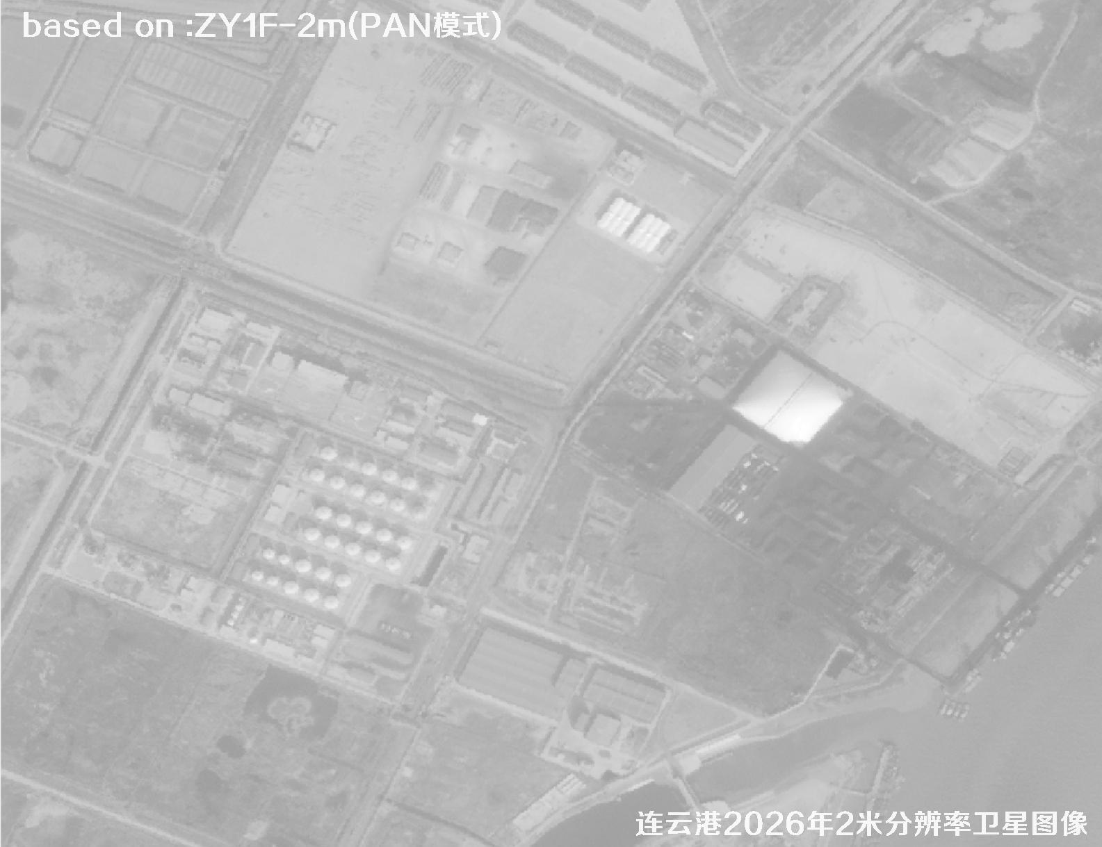 Sample
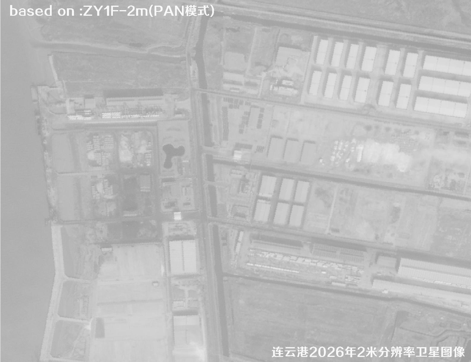 Sample
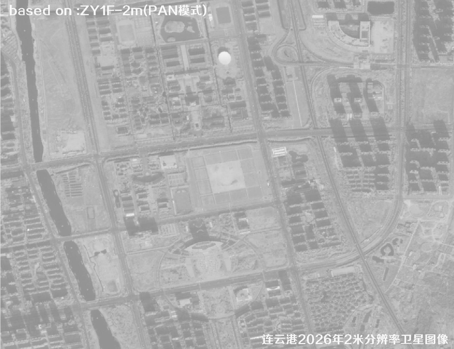 Sample