 Sample
Image 1 of 48
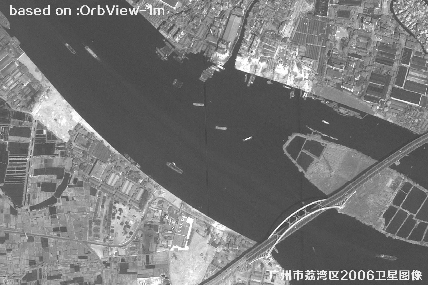
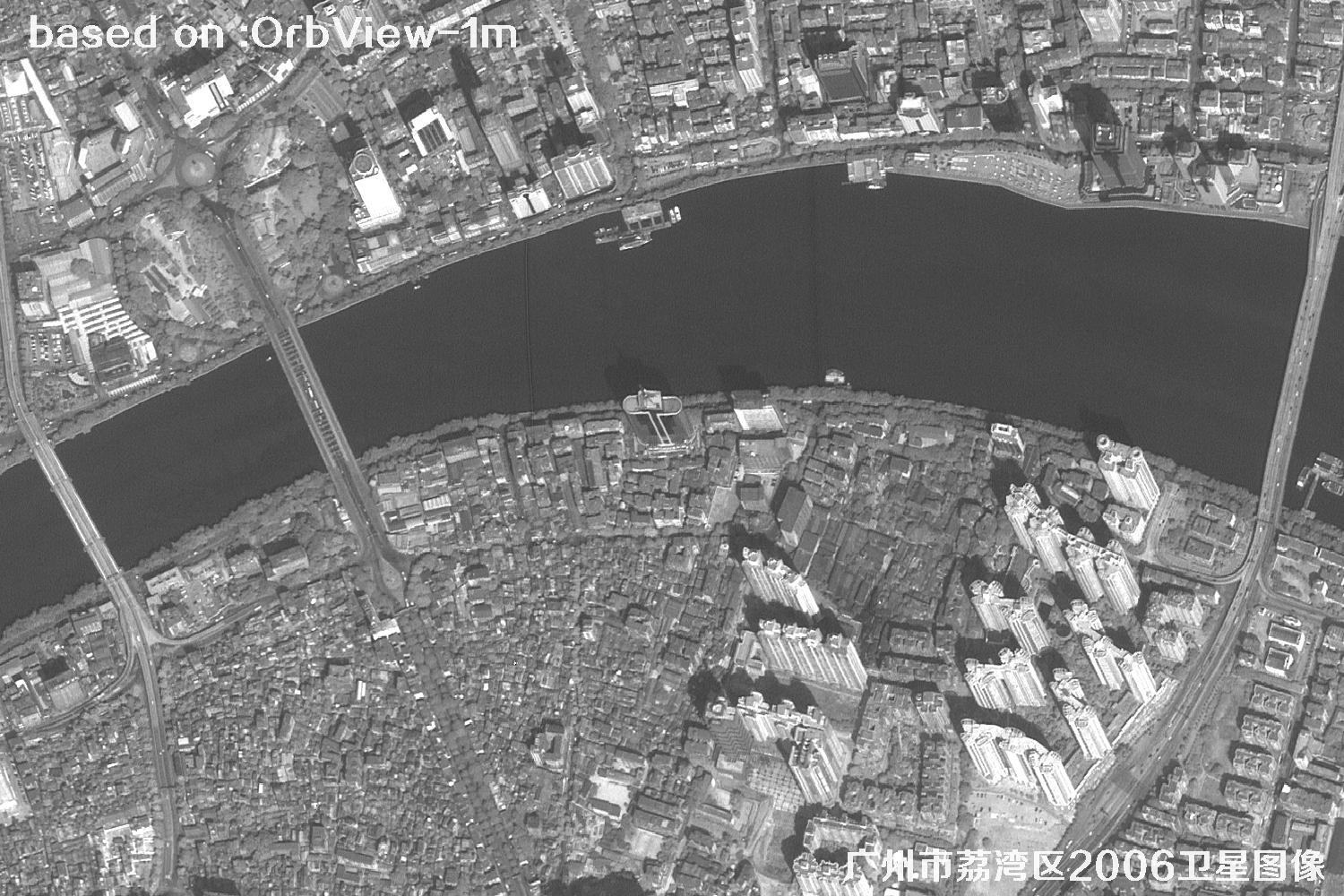
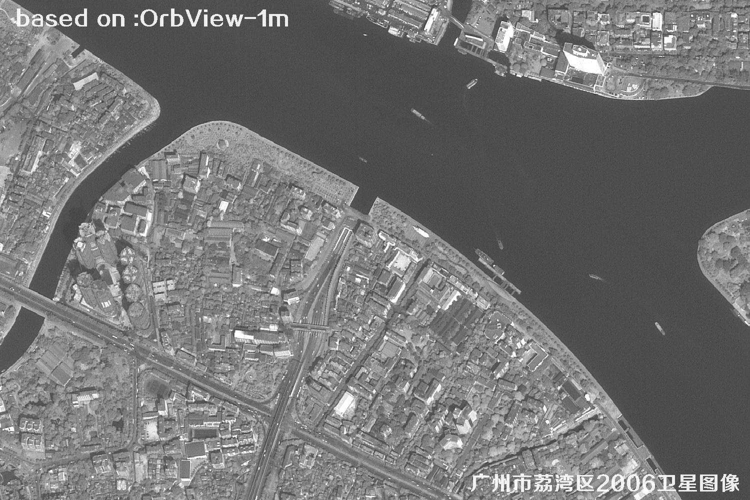
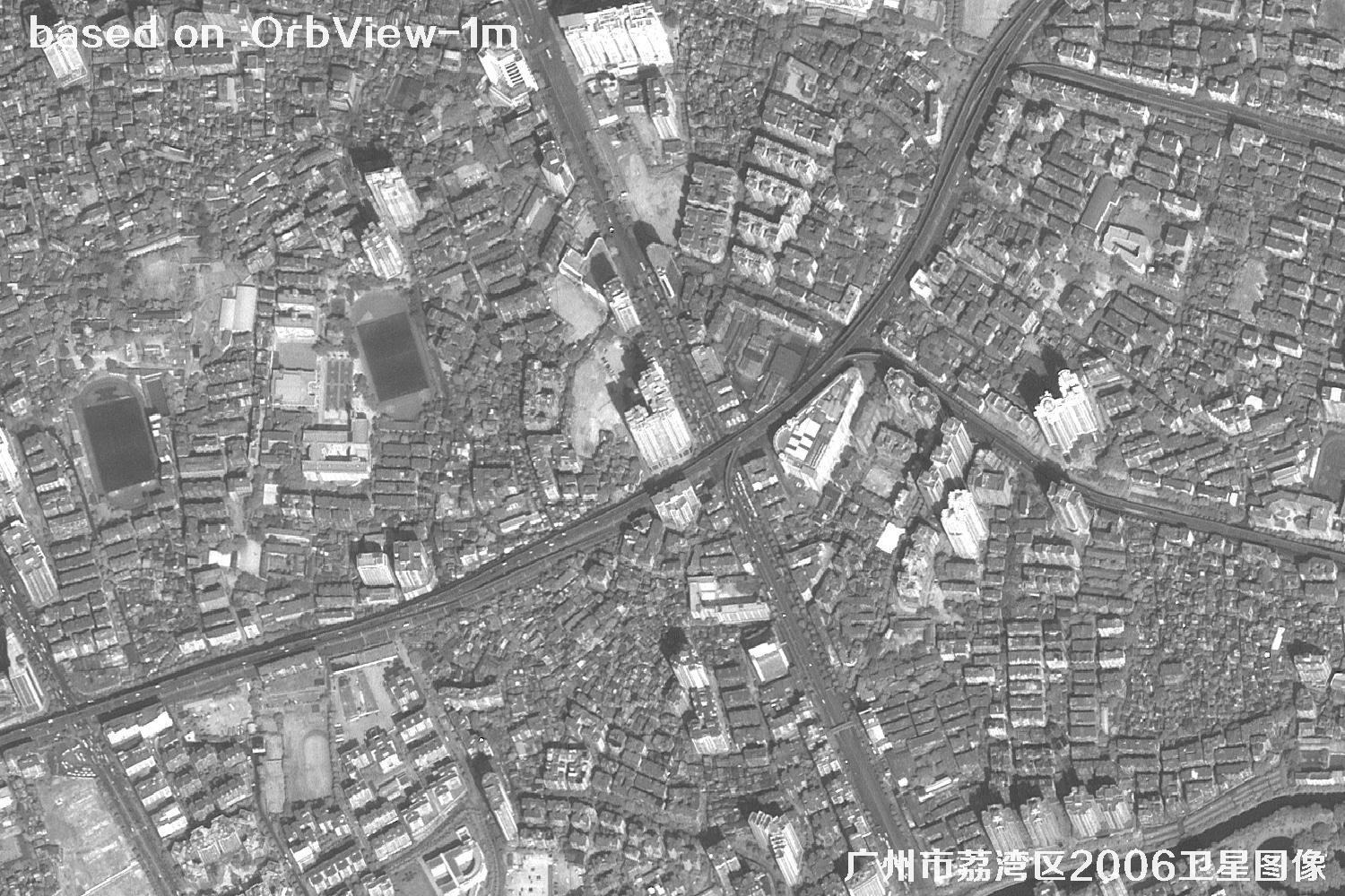
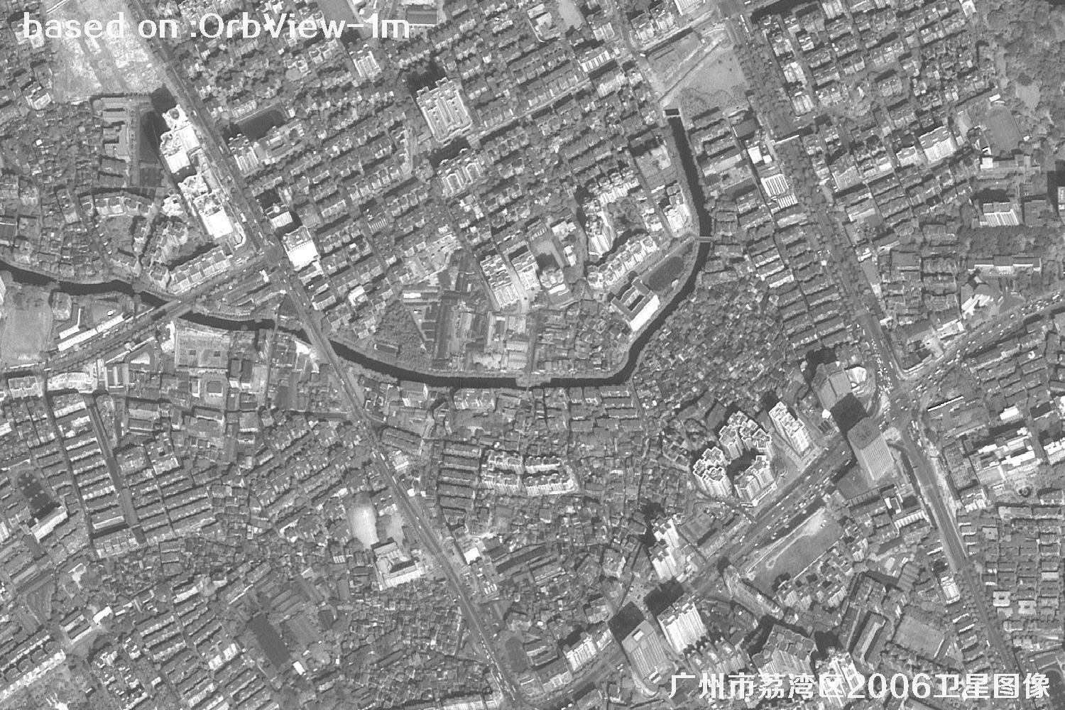
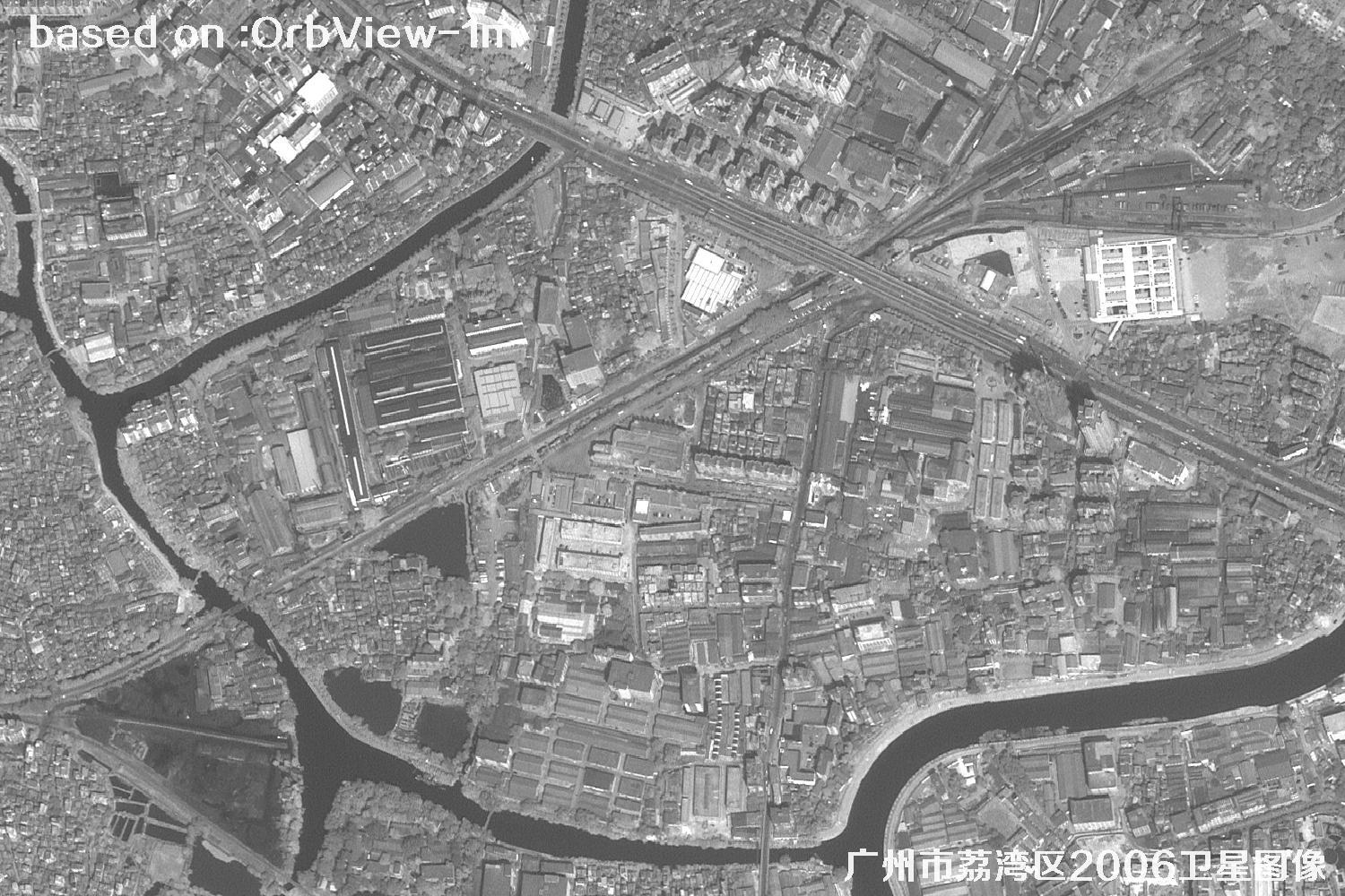
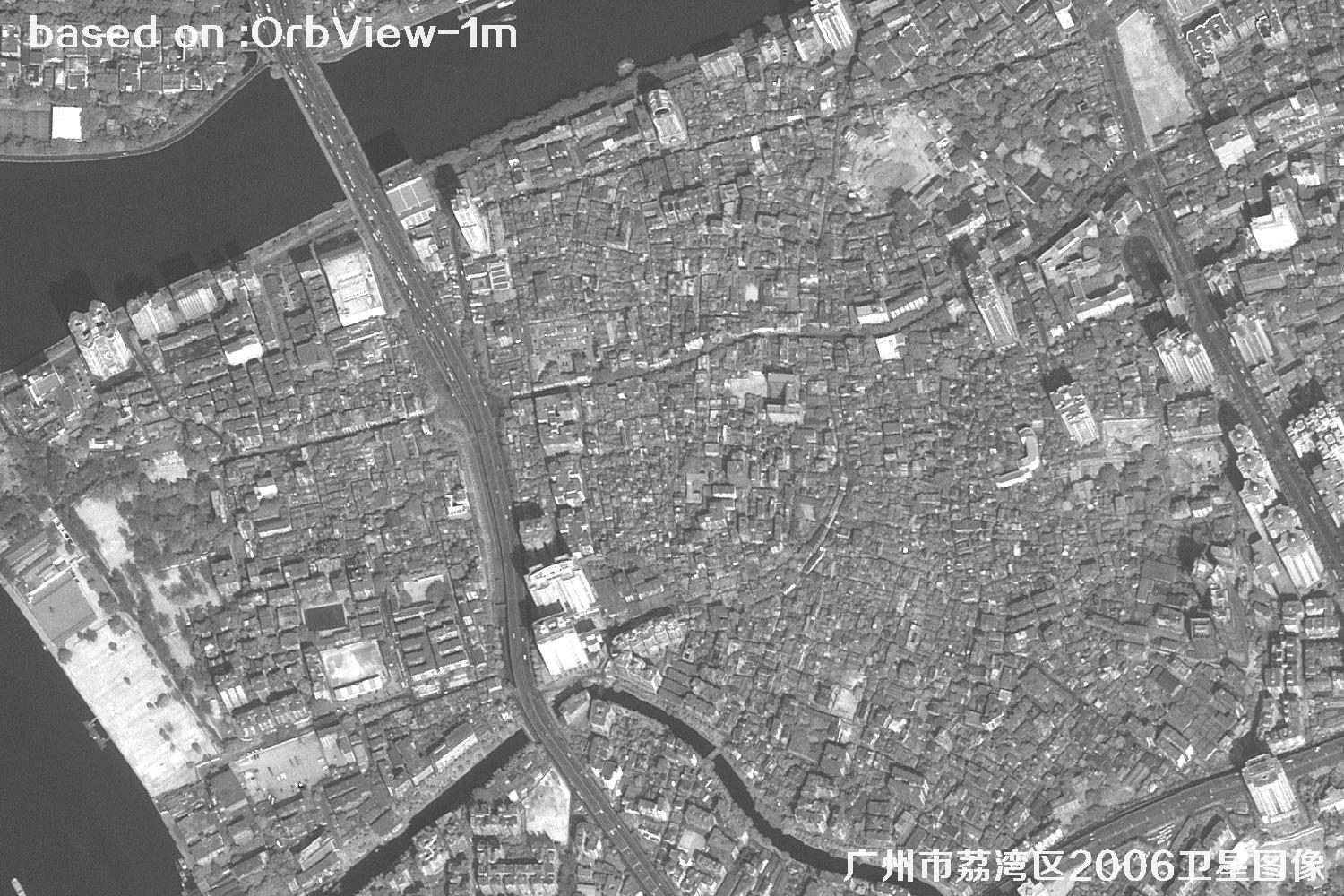
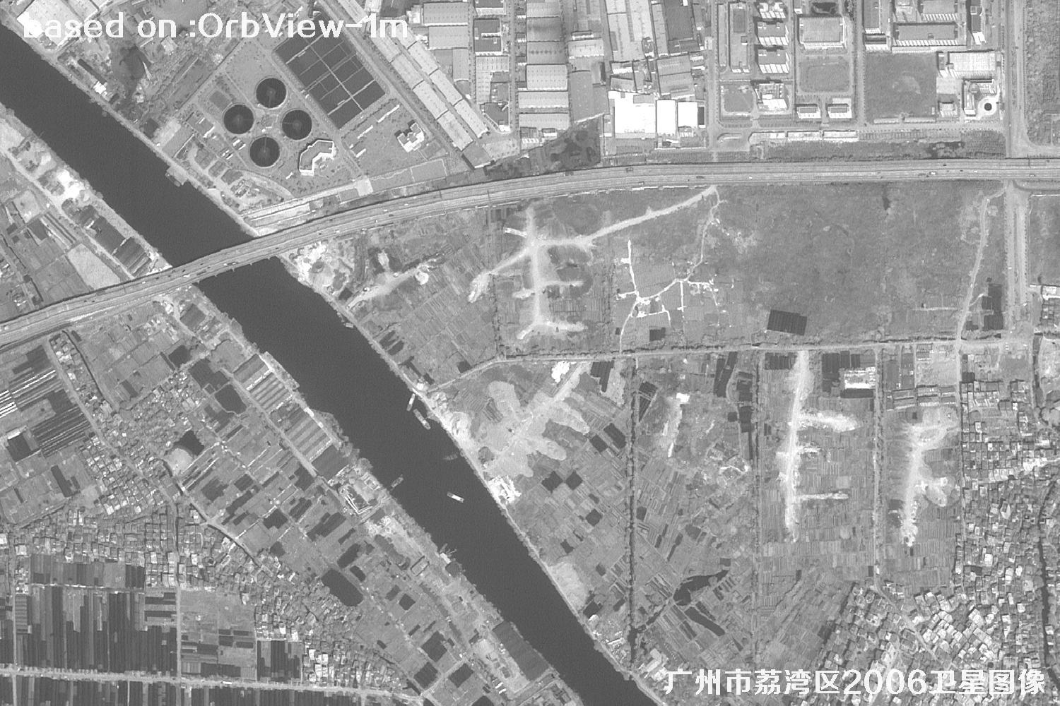
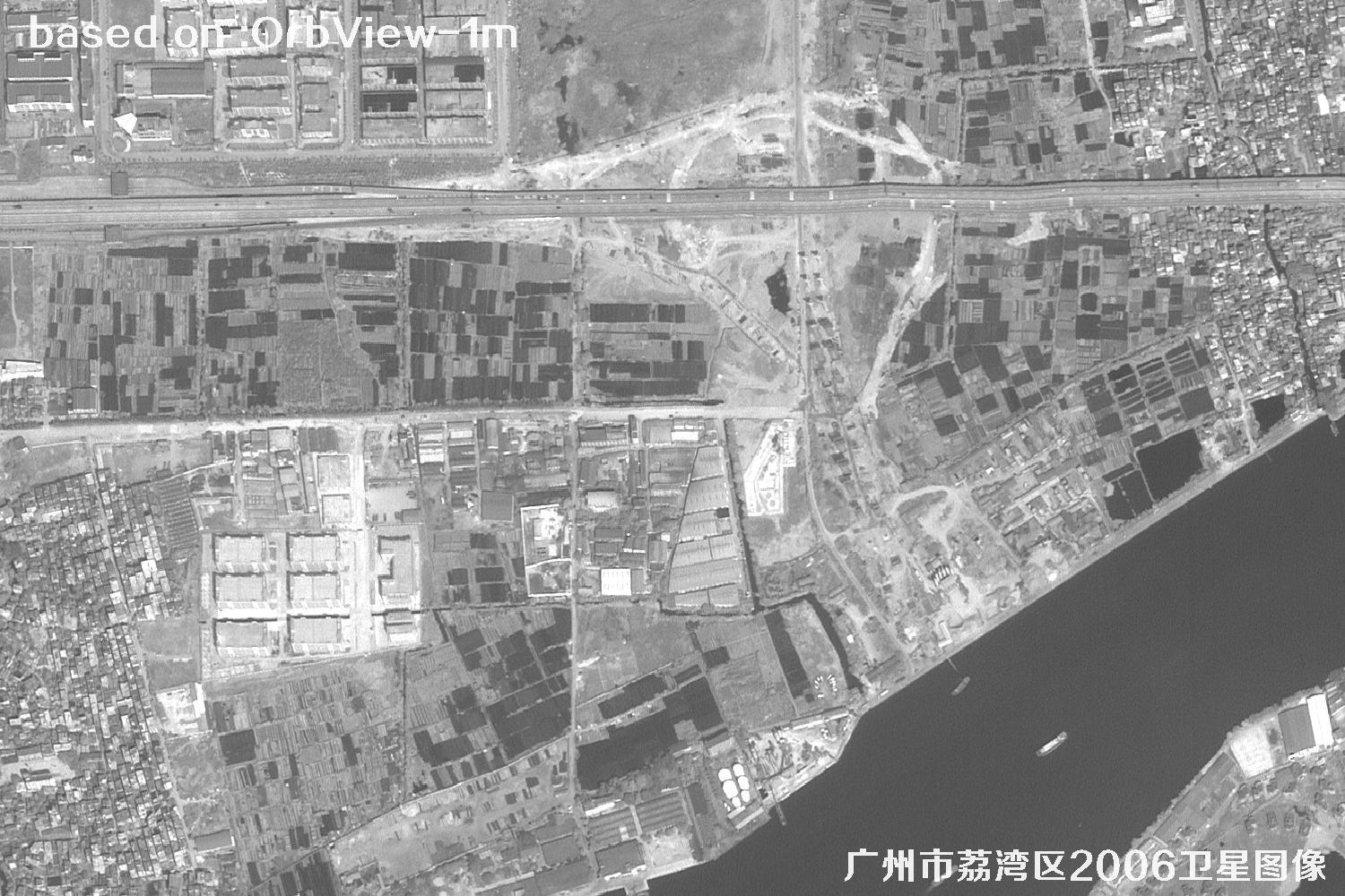
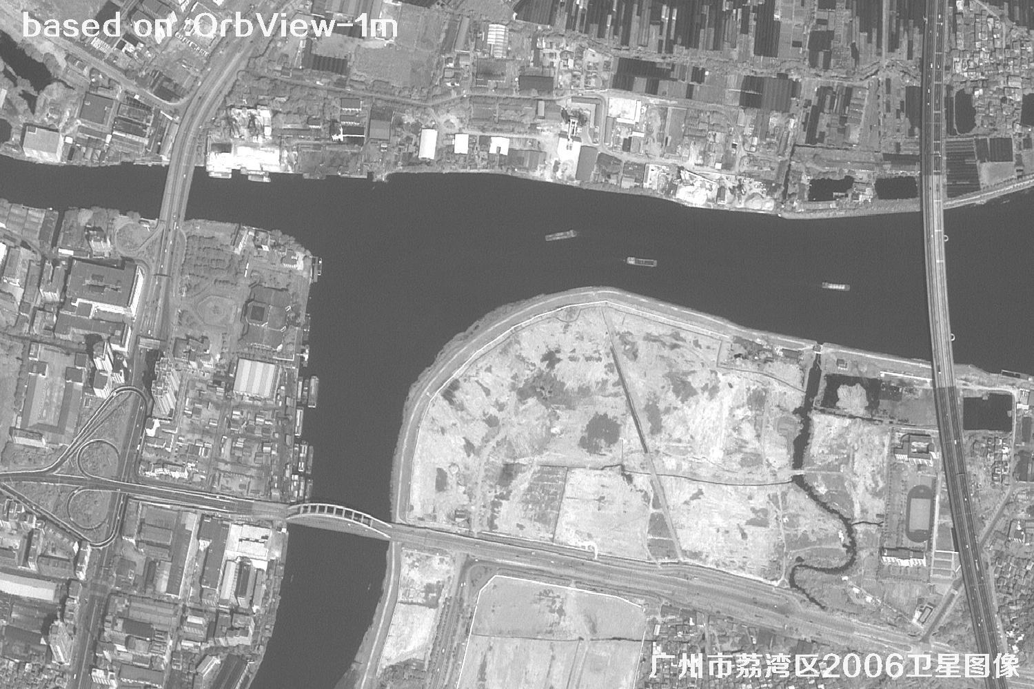
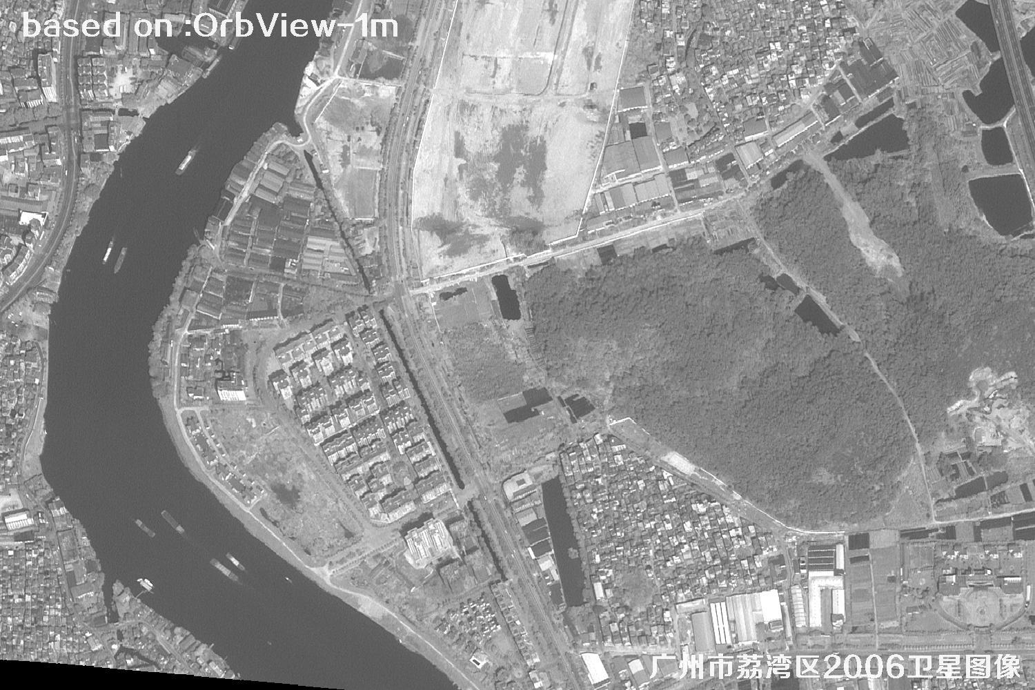
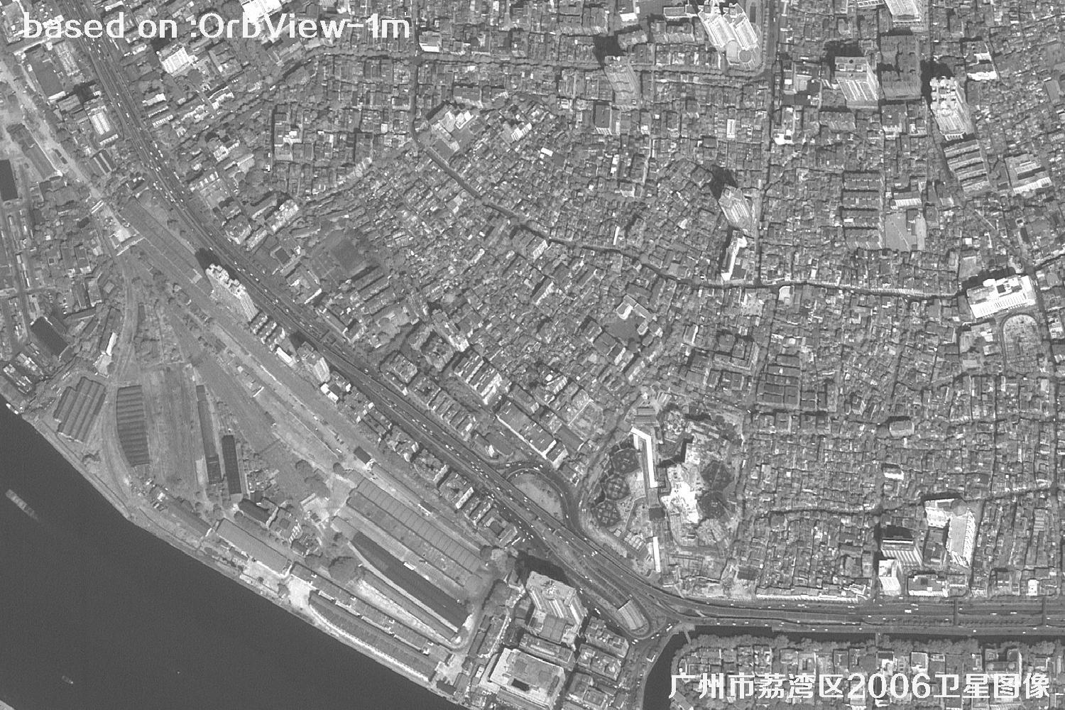
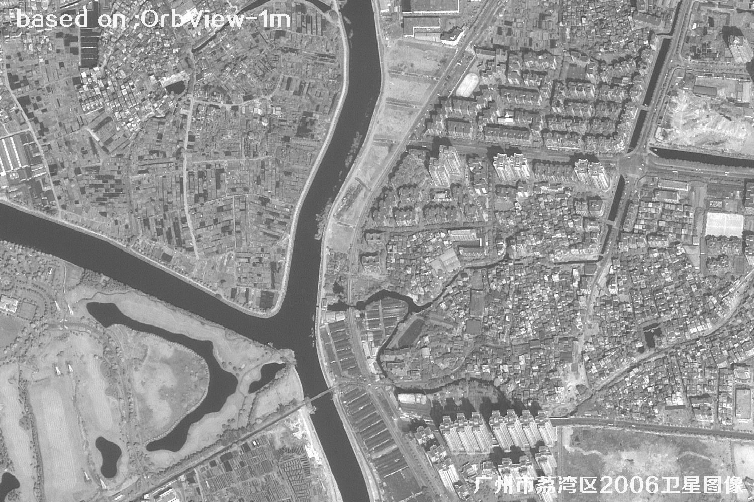
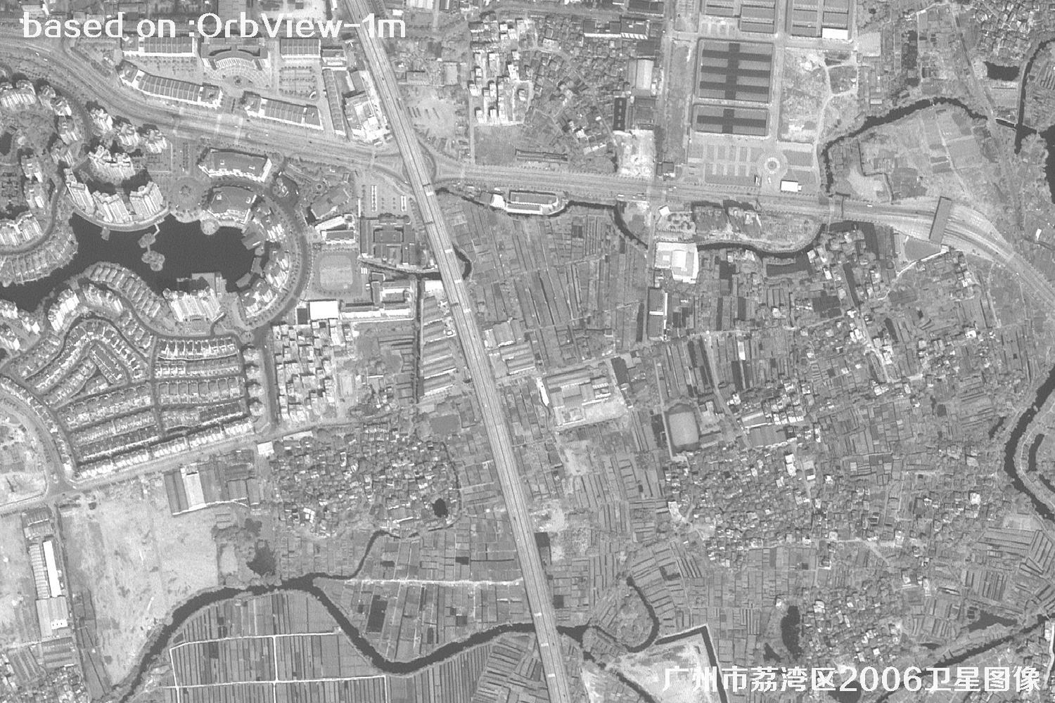
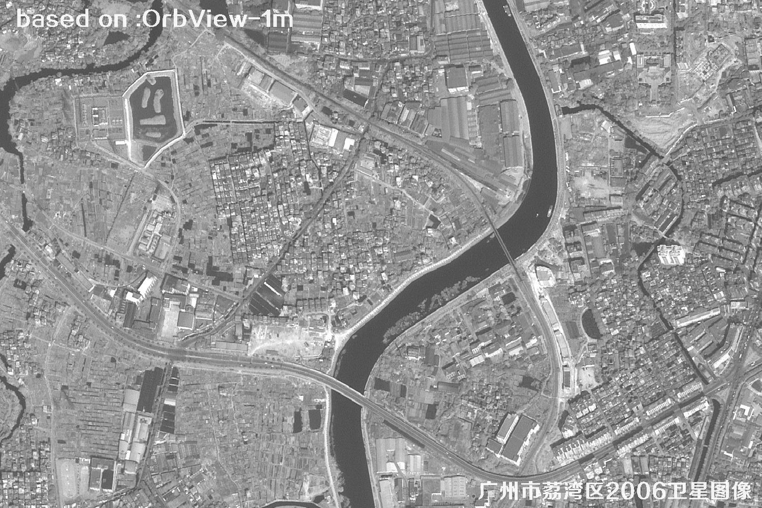
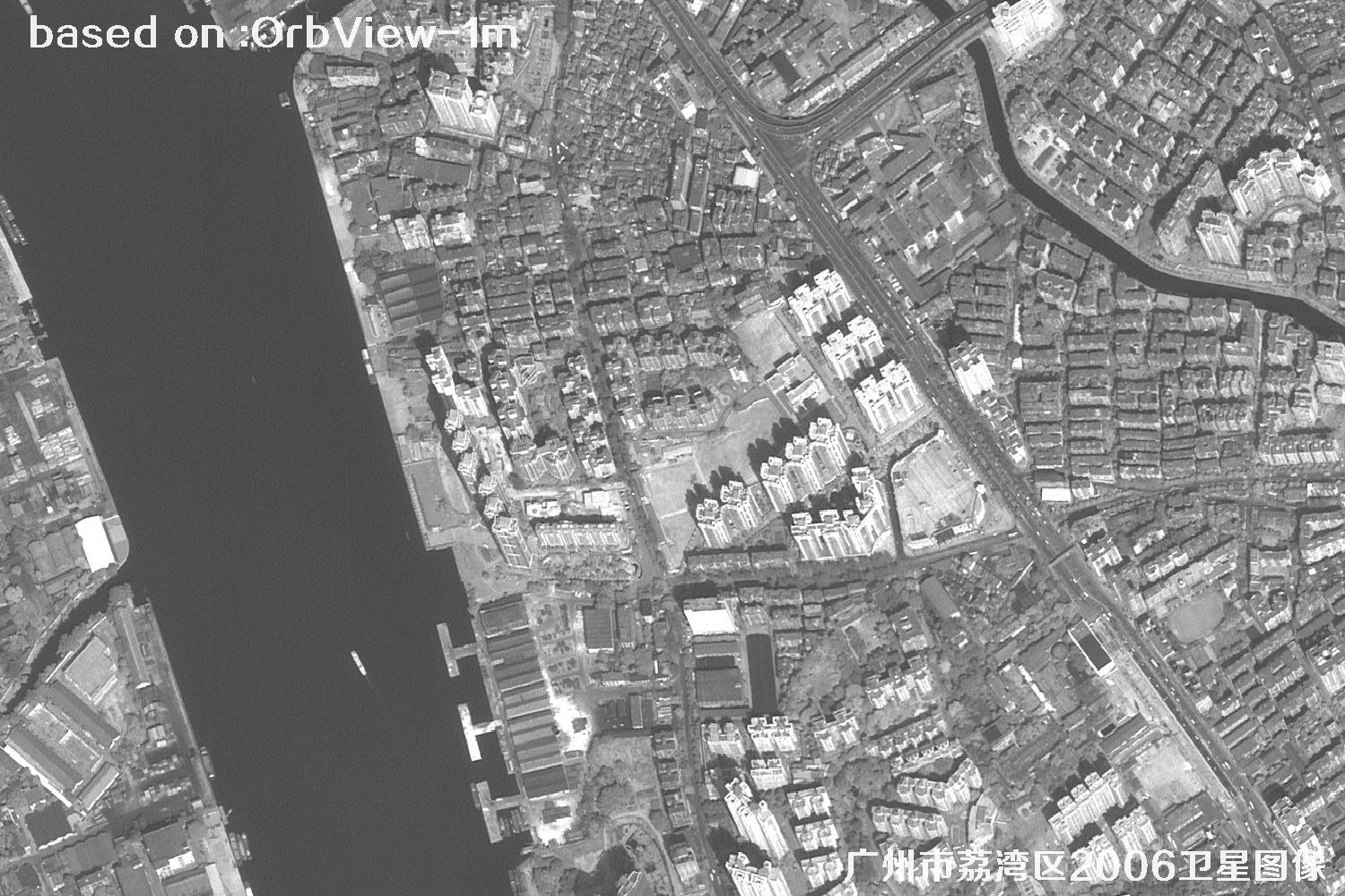
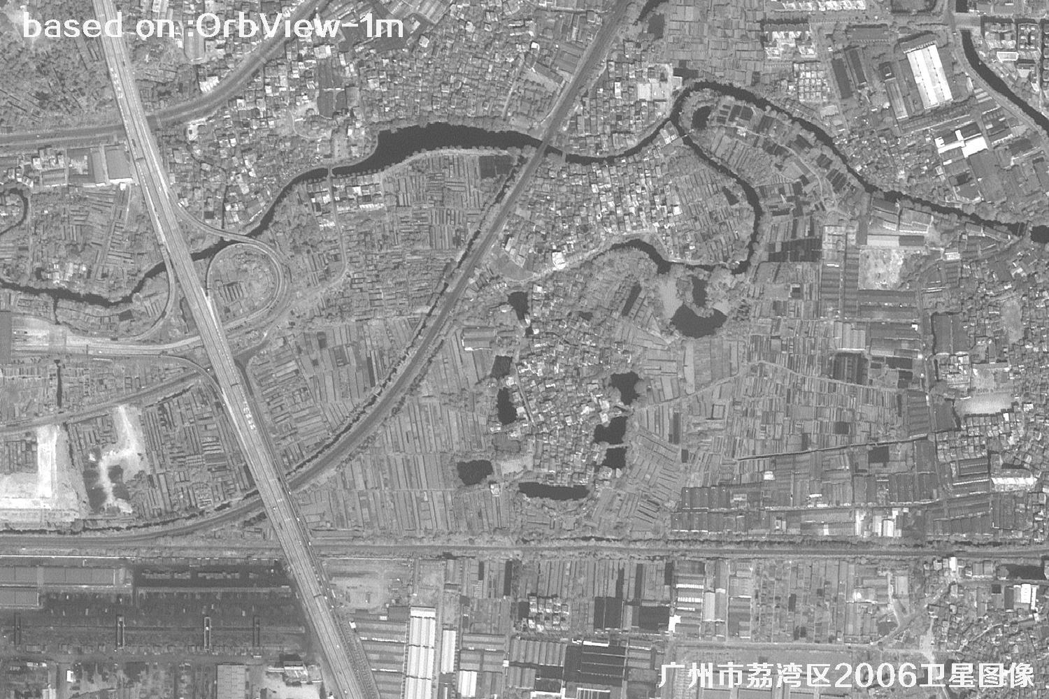
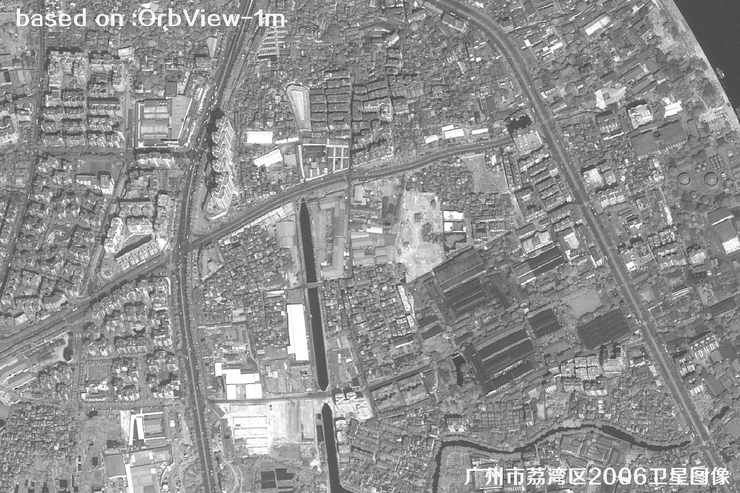
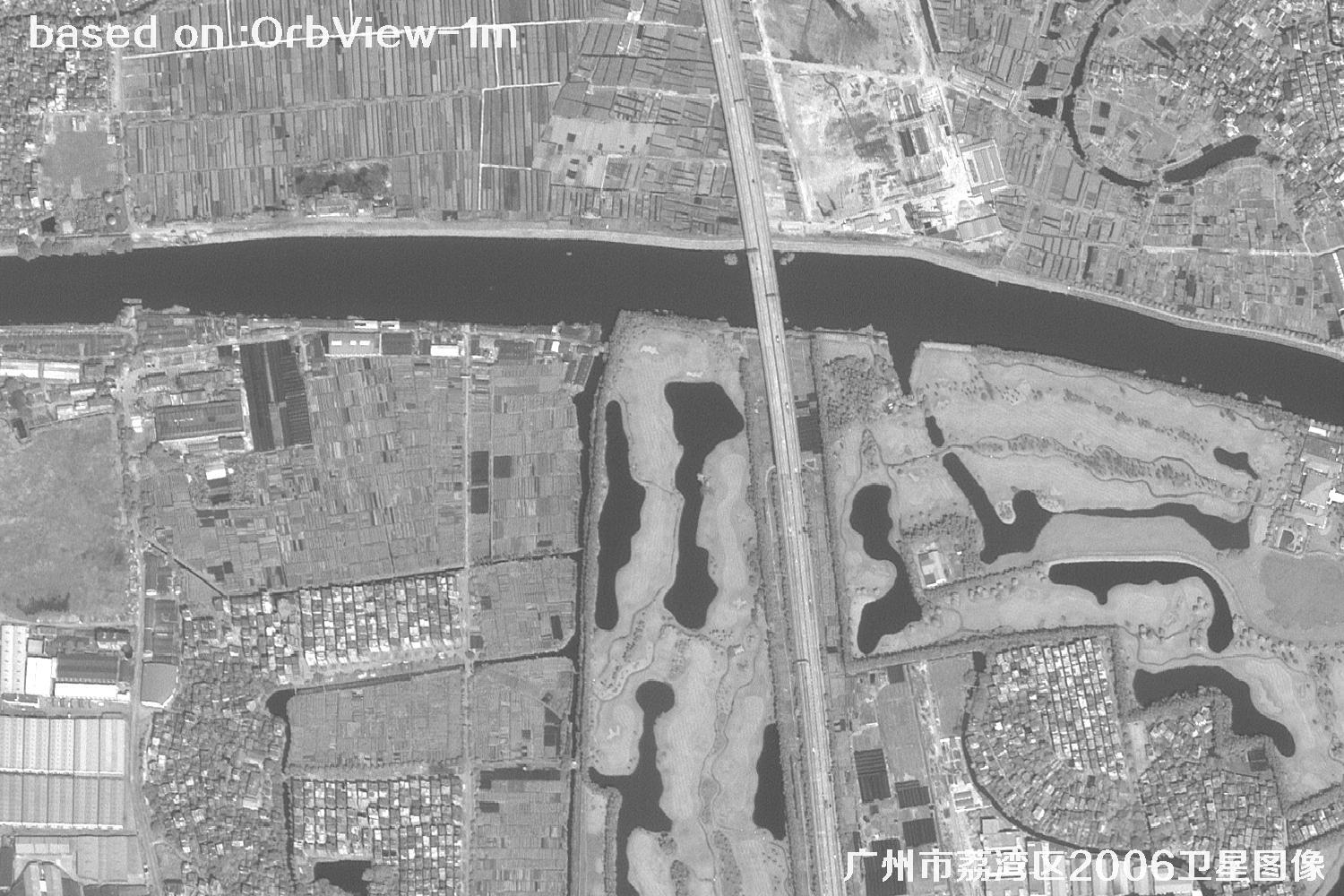
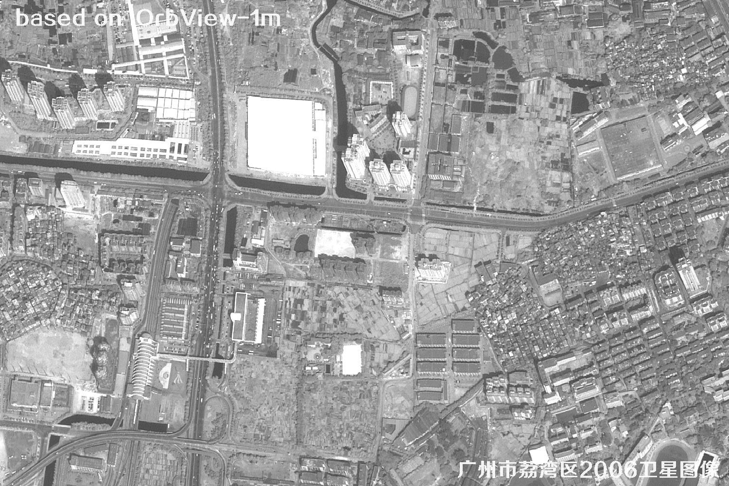
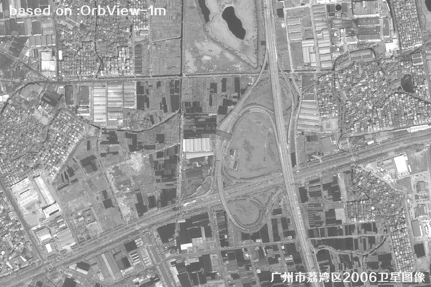
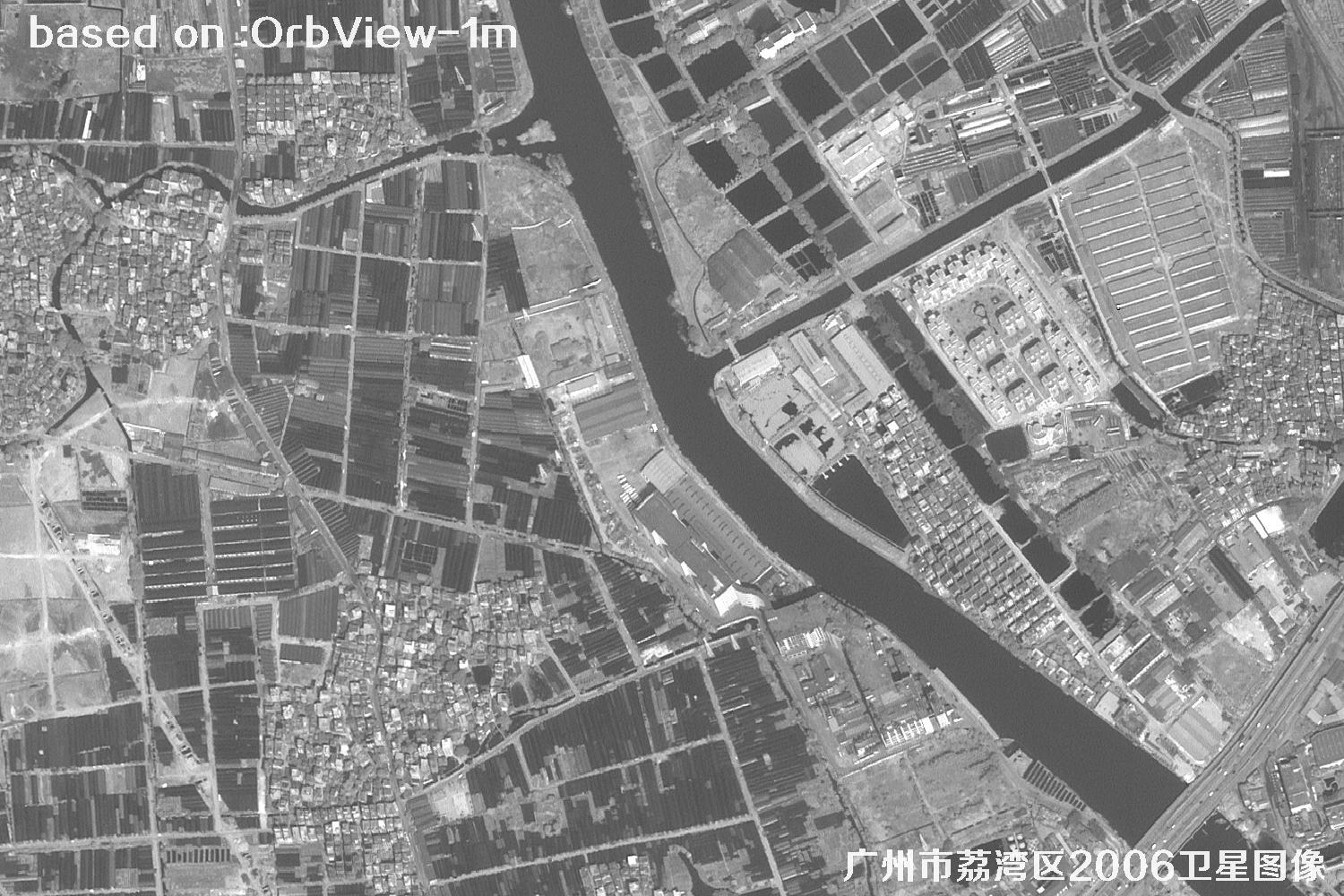
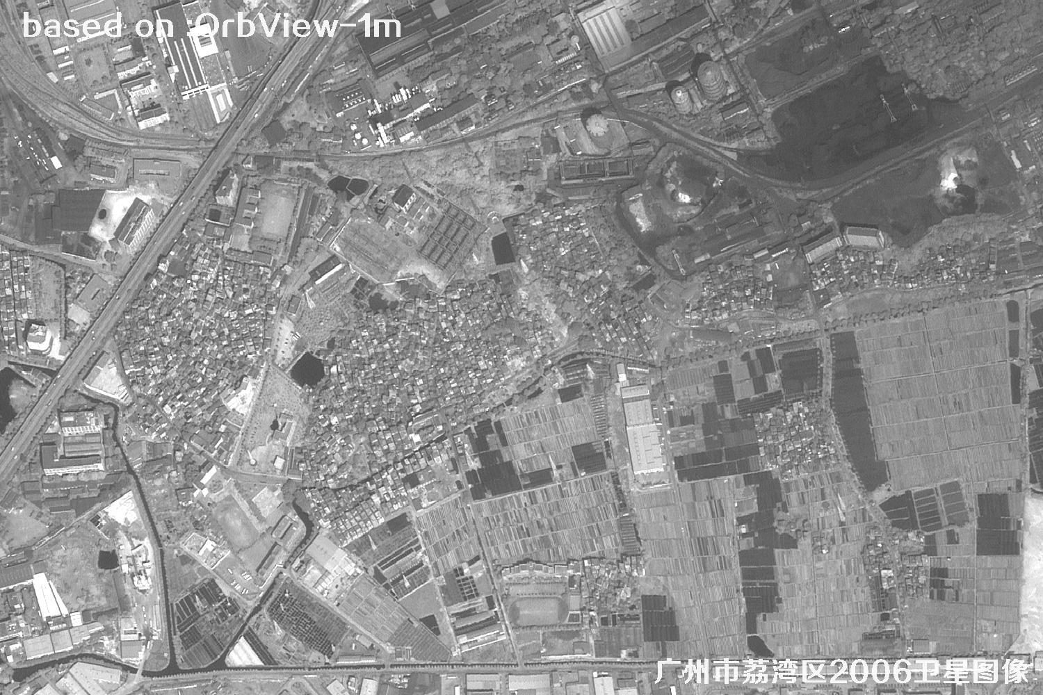
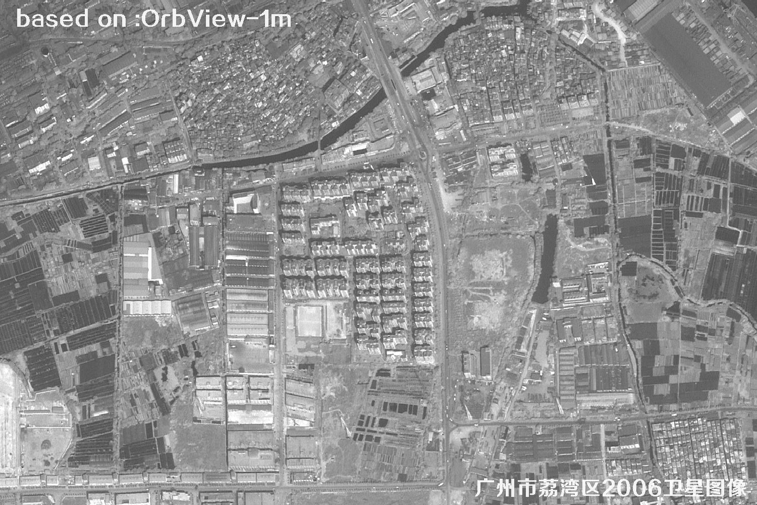
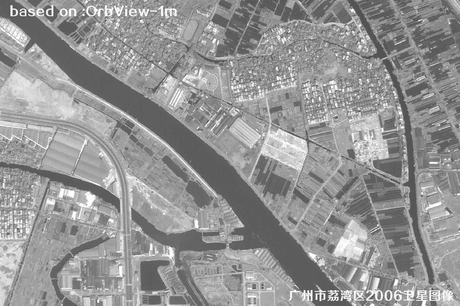
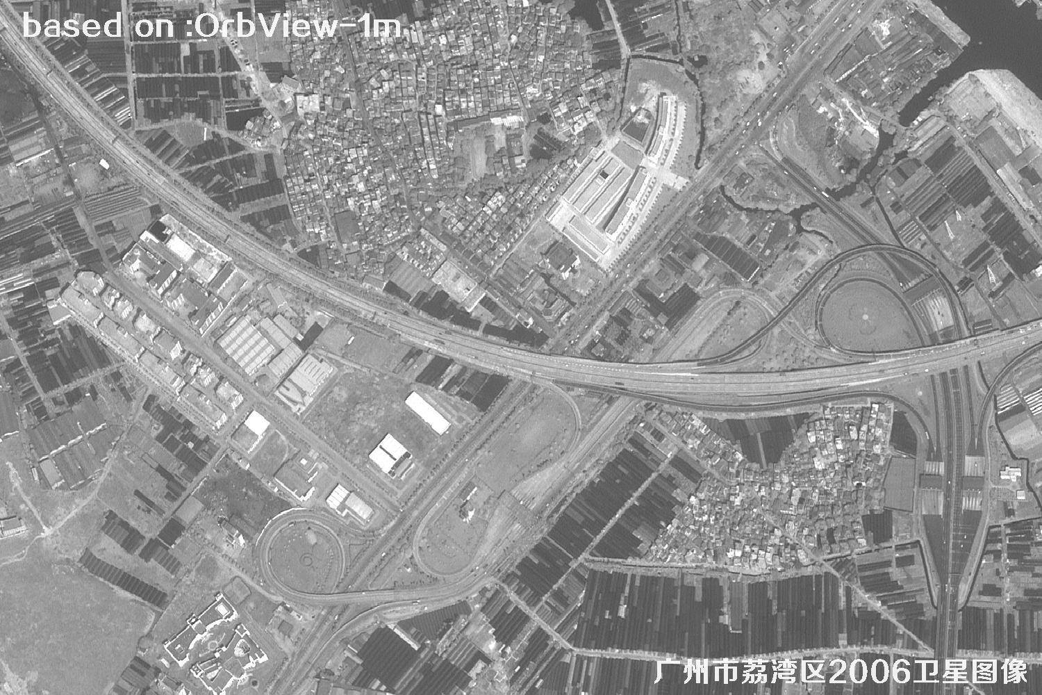
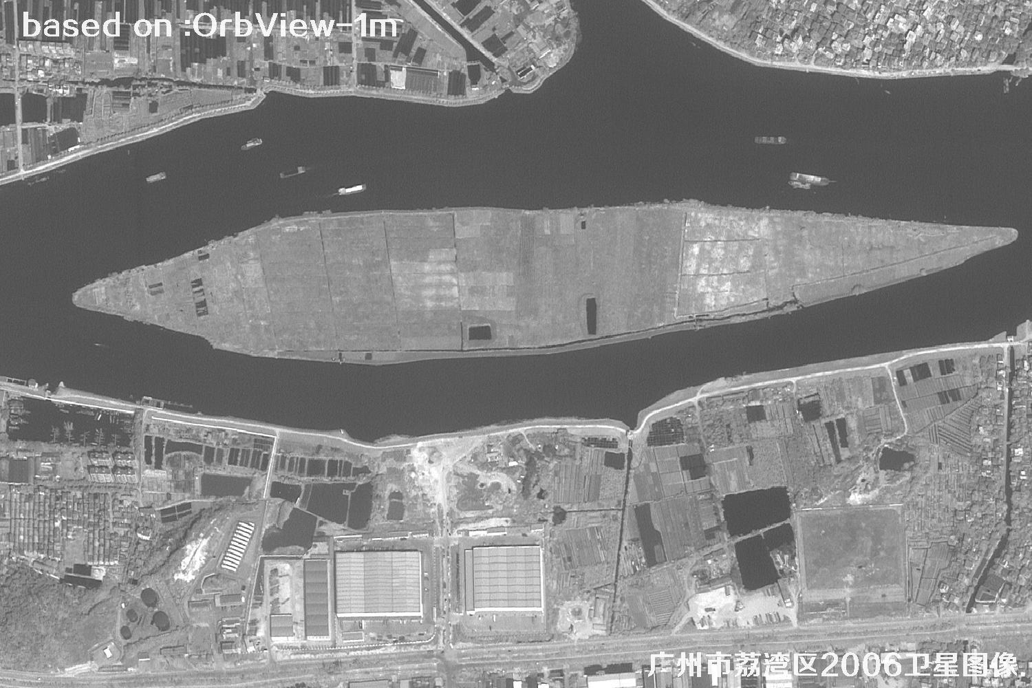
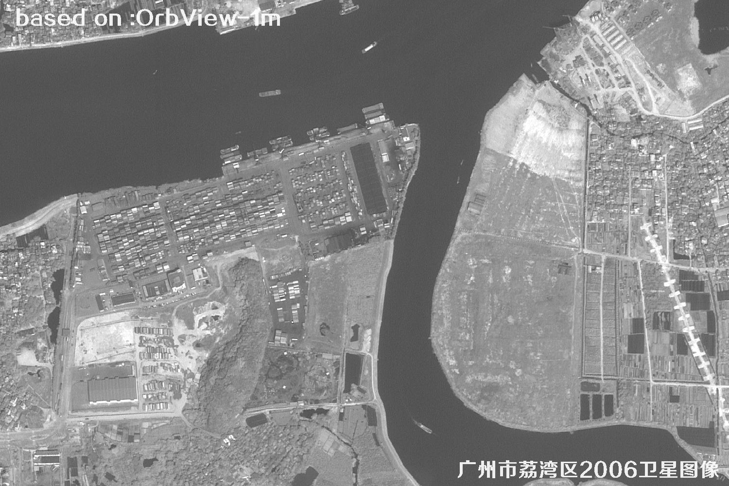
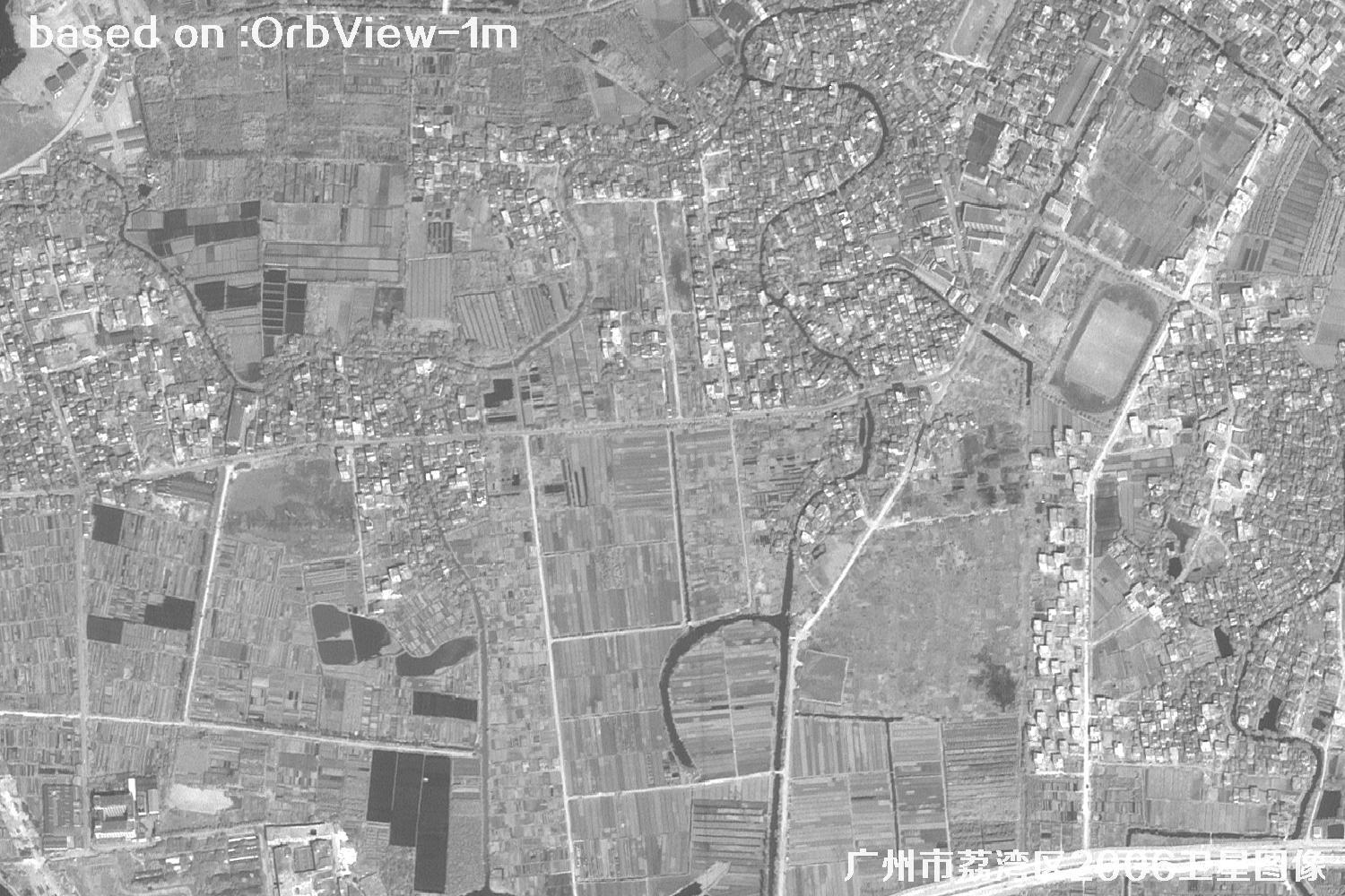
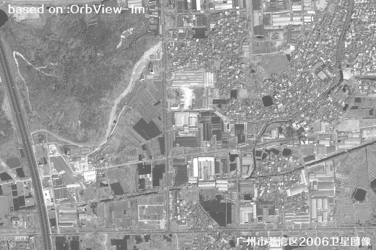
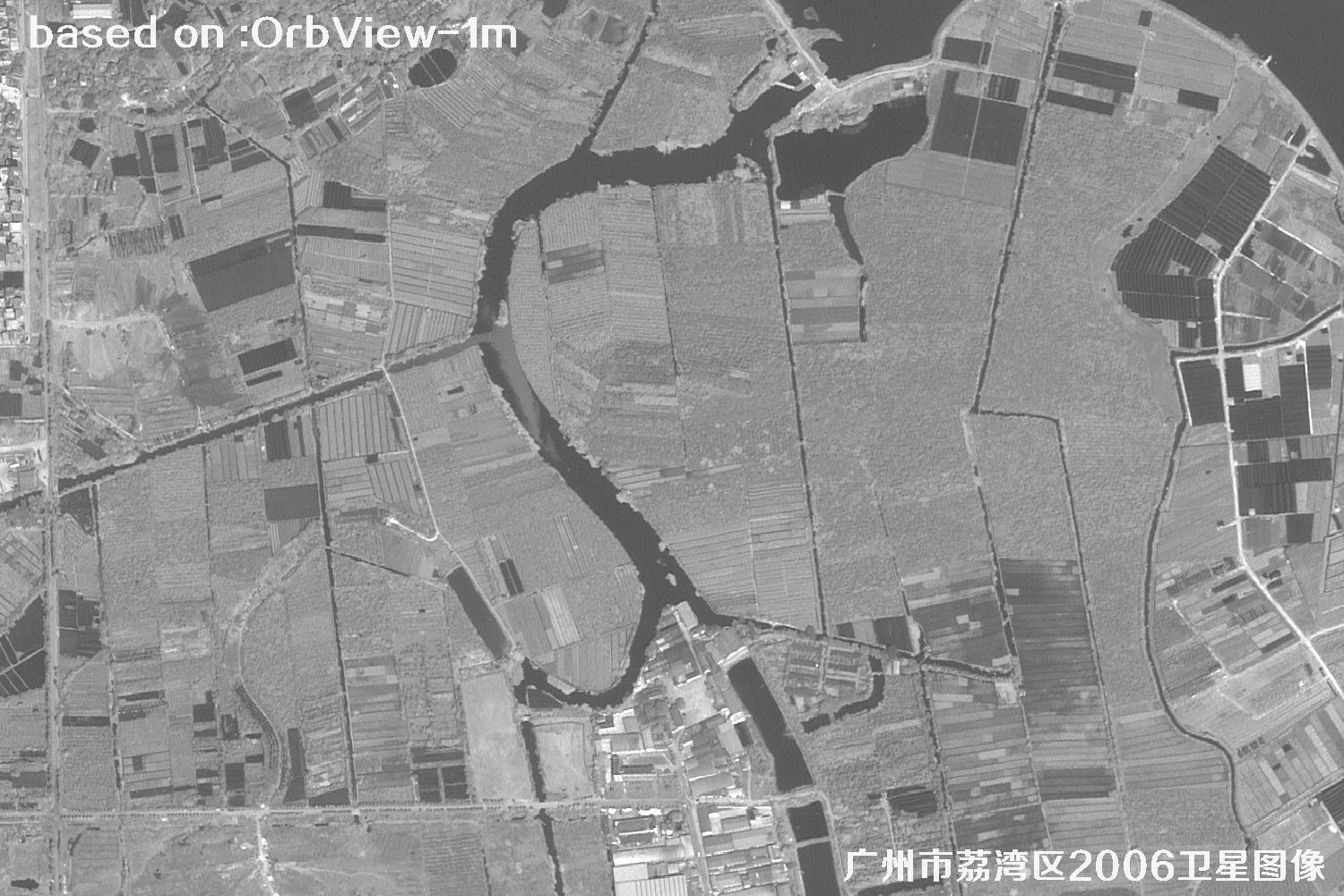
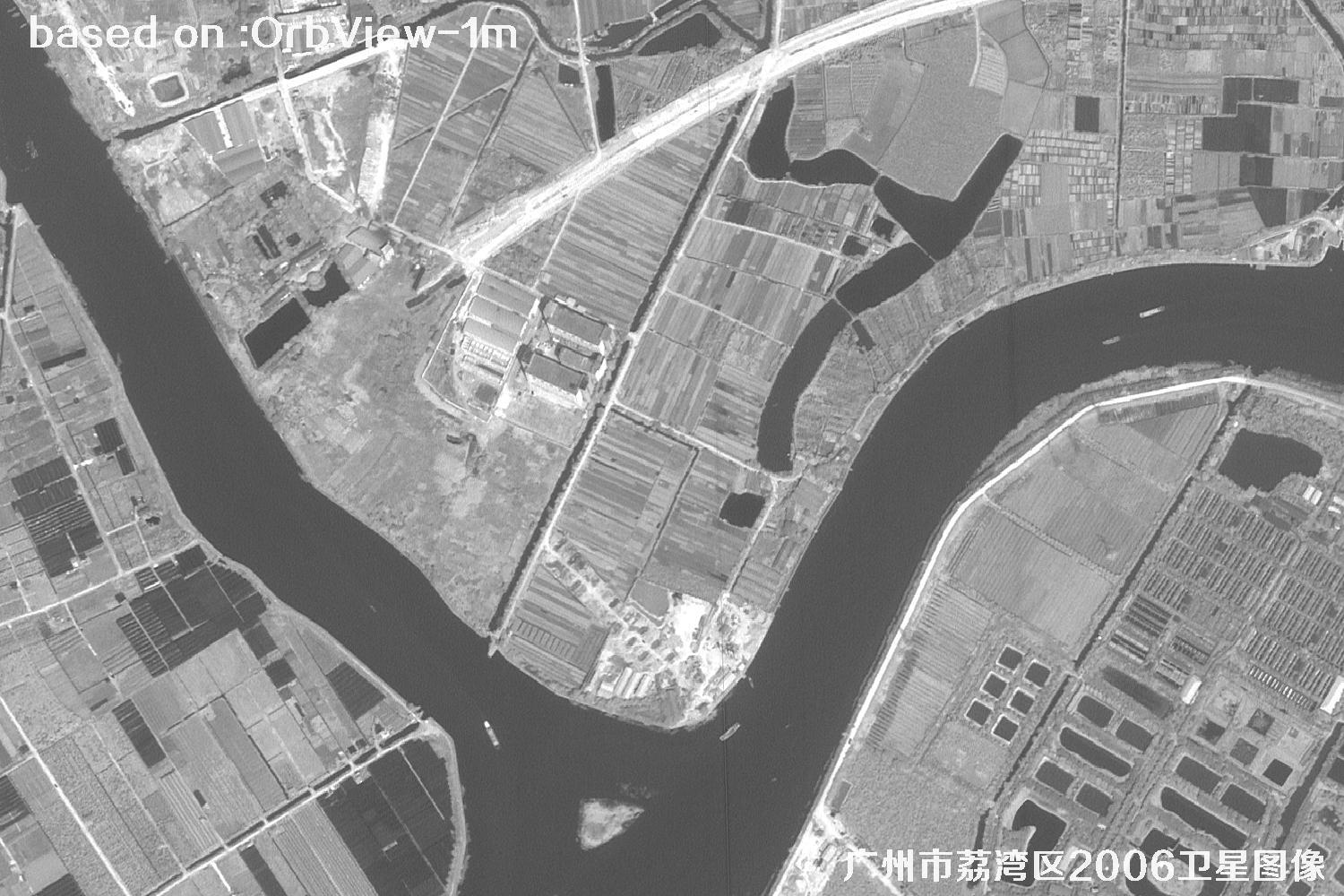
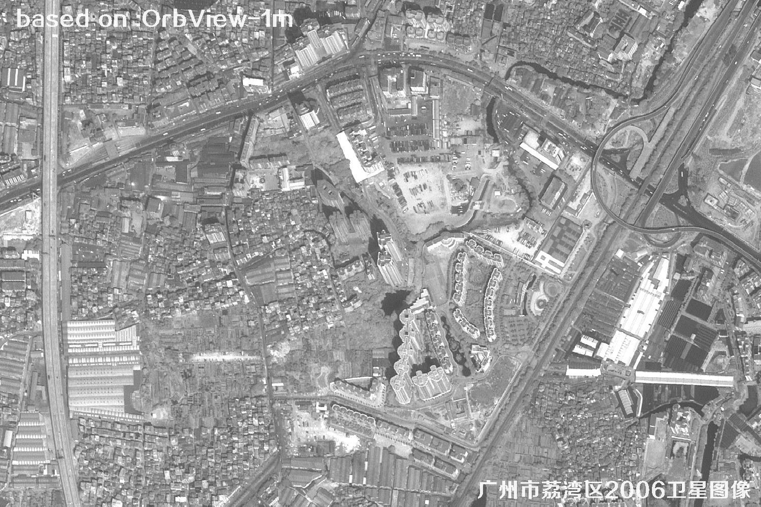
Explore 2006 OrbView satellite imagery of Liwan District in Guangzhou. This page presents 1-meter-resolution historical views and helpful details about the capture date, location, and satellite, making it easier to review streets, neighborhoods, and landscape change. Browse sample images or contact our team for personal assistance.
DISTRICT & ARCHIVE
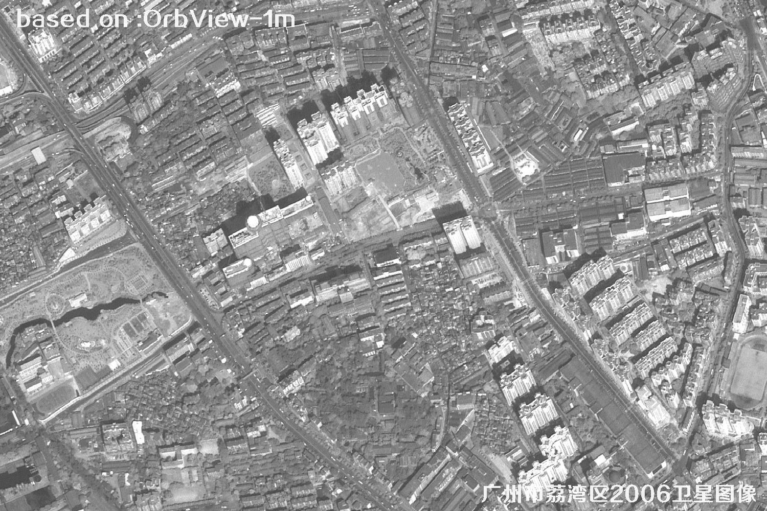
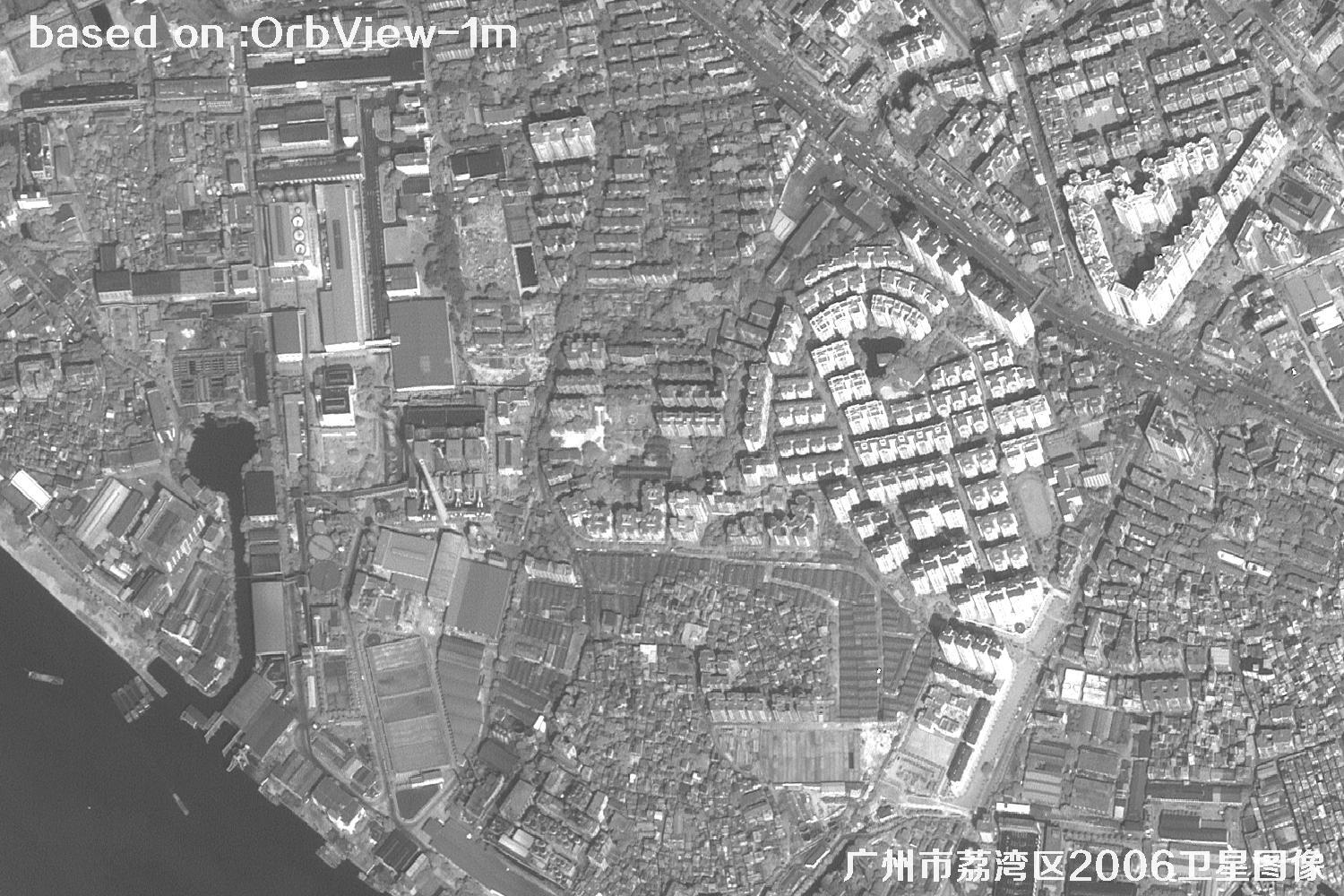
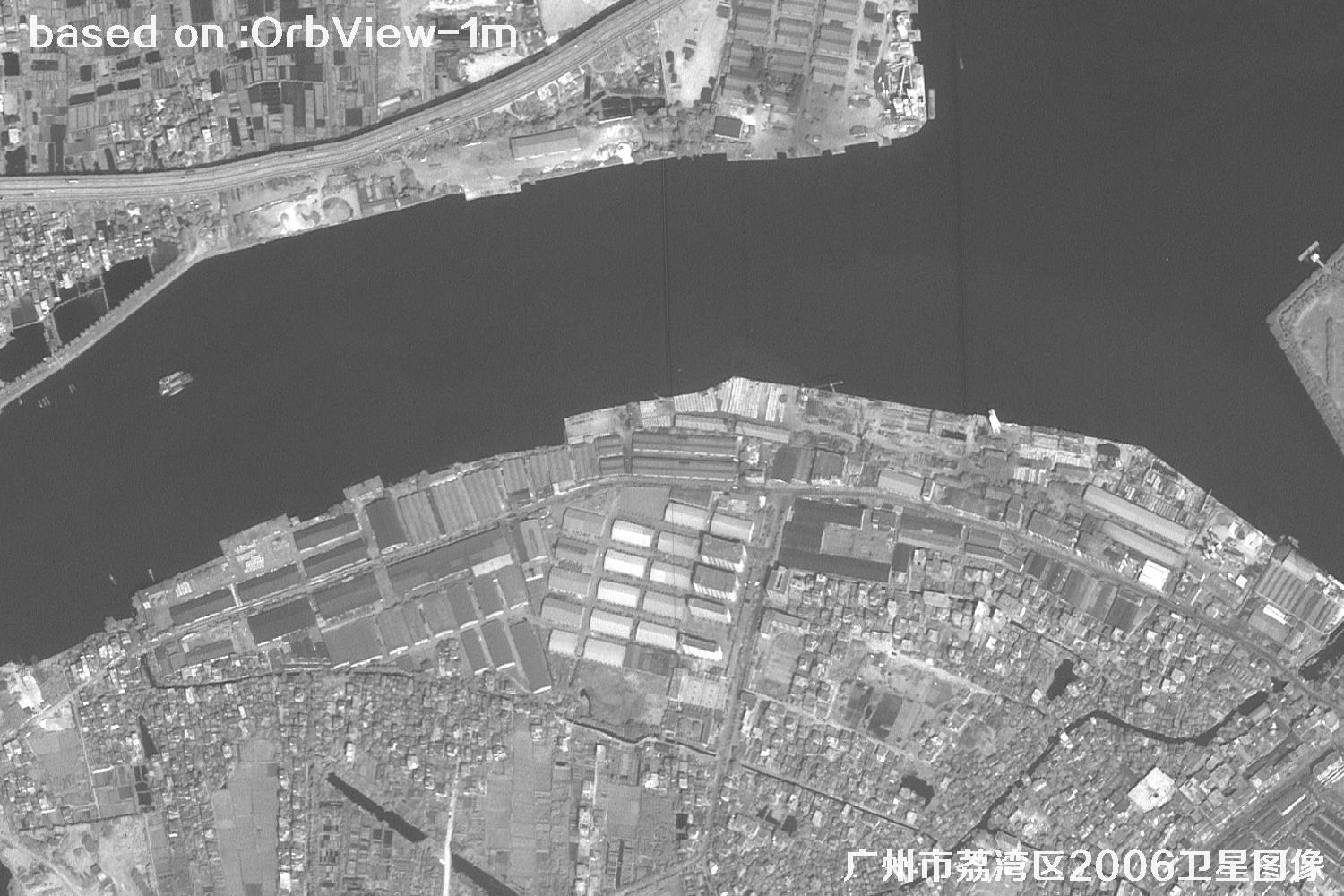
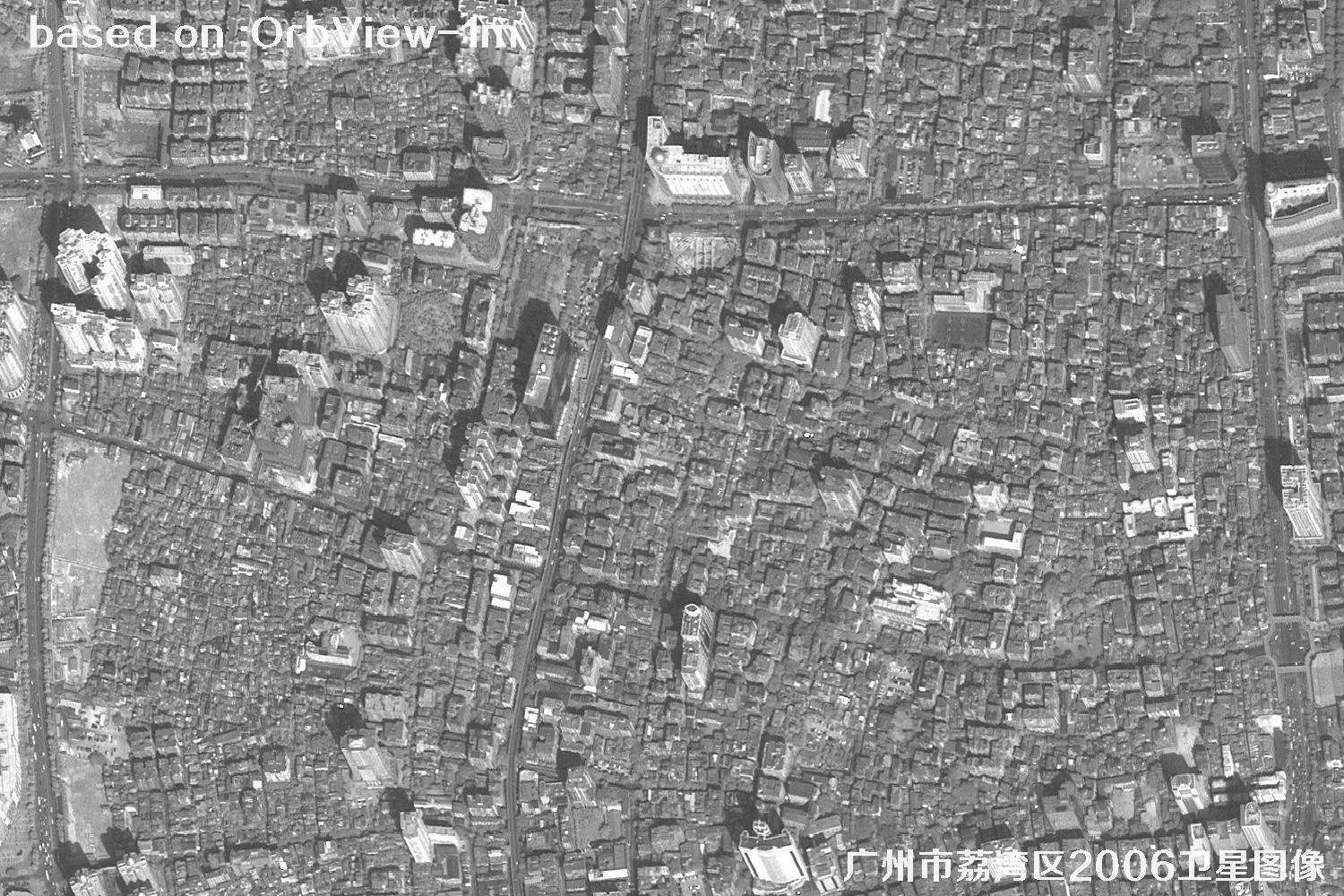
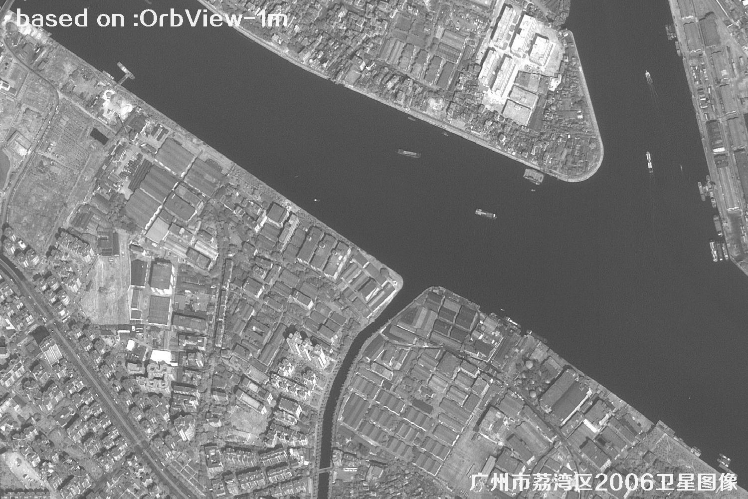
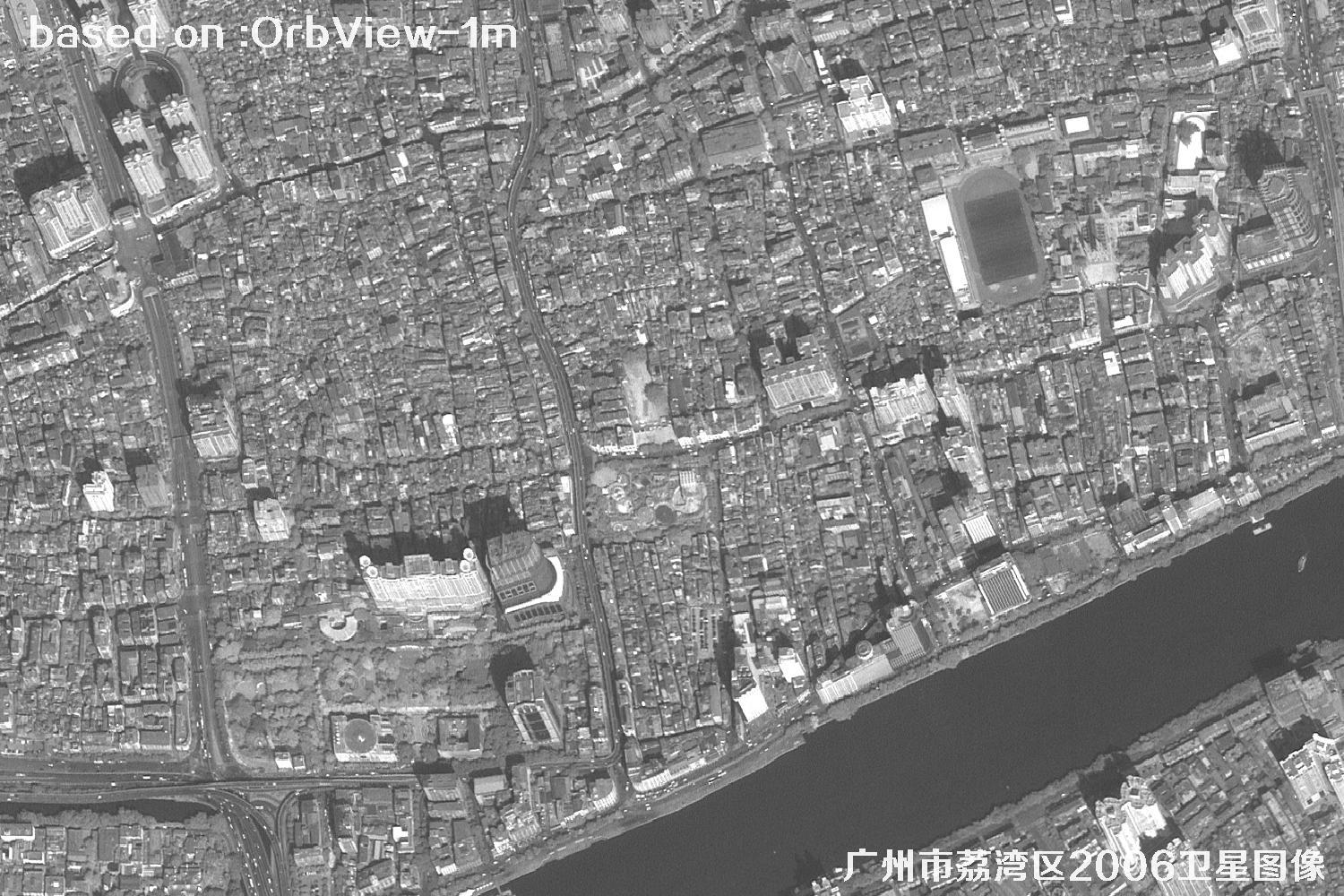
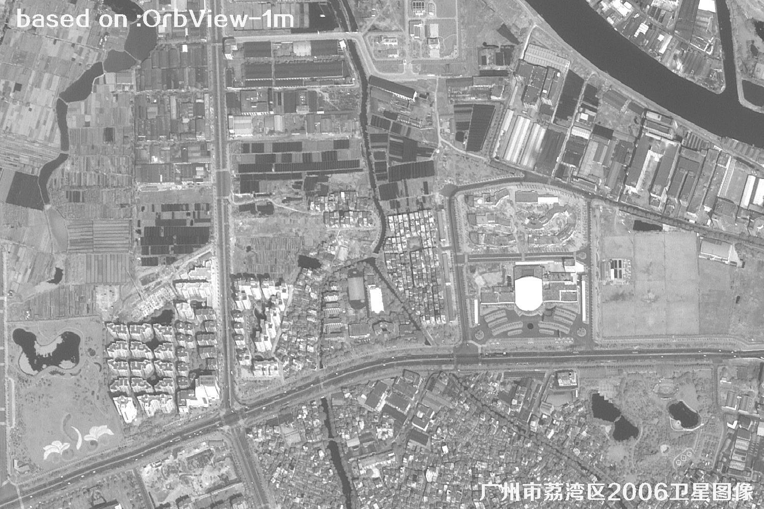
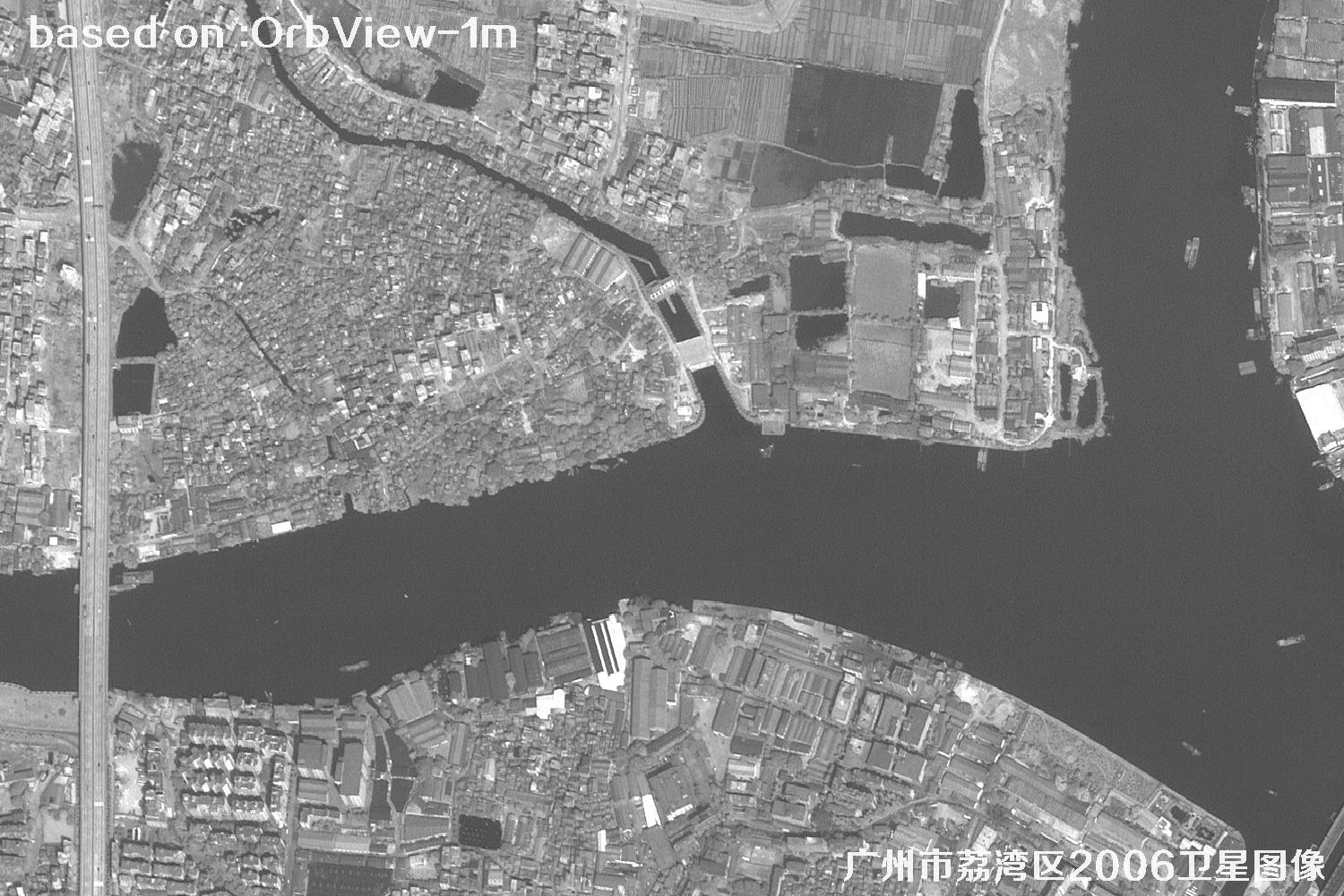
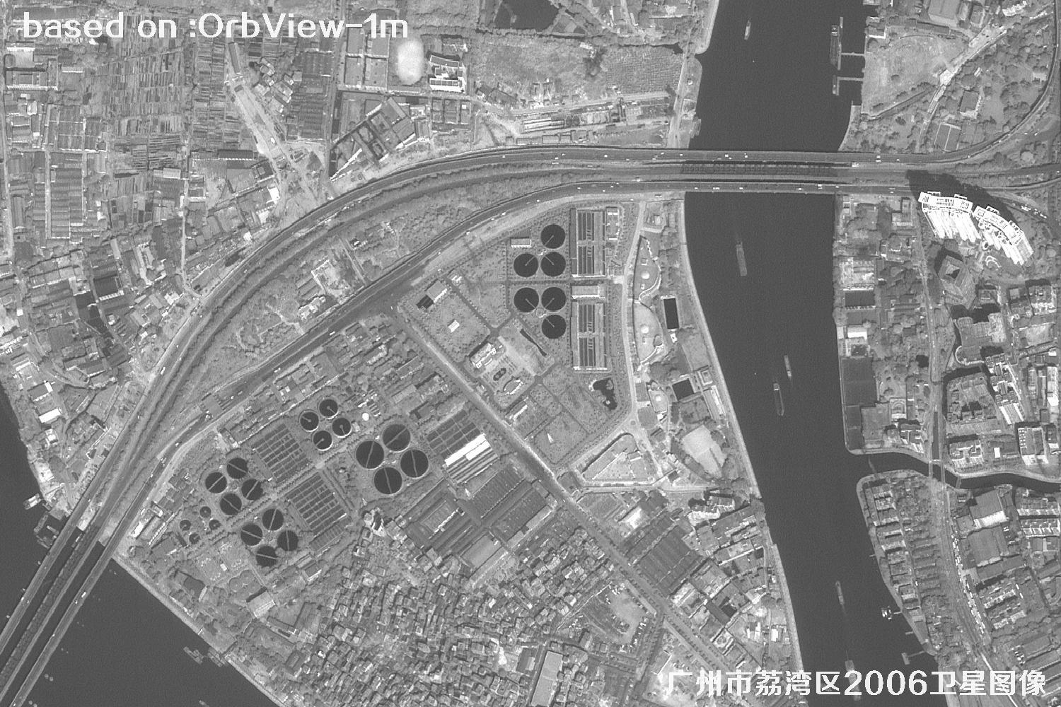
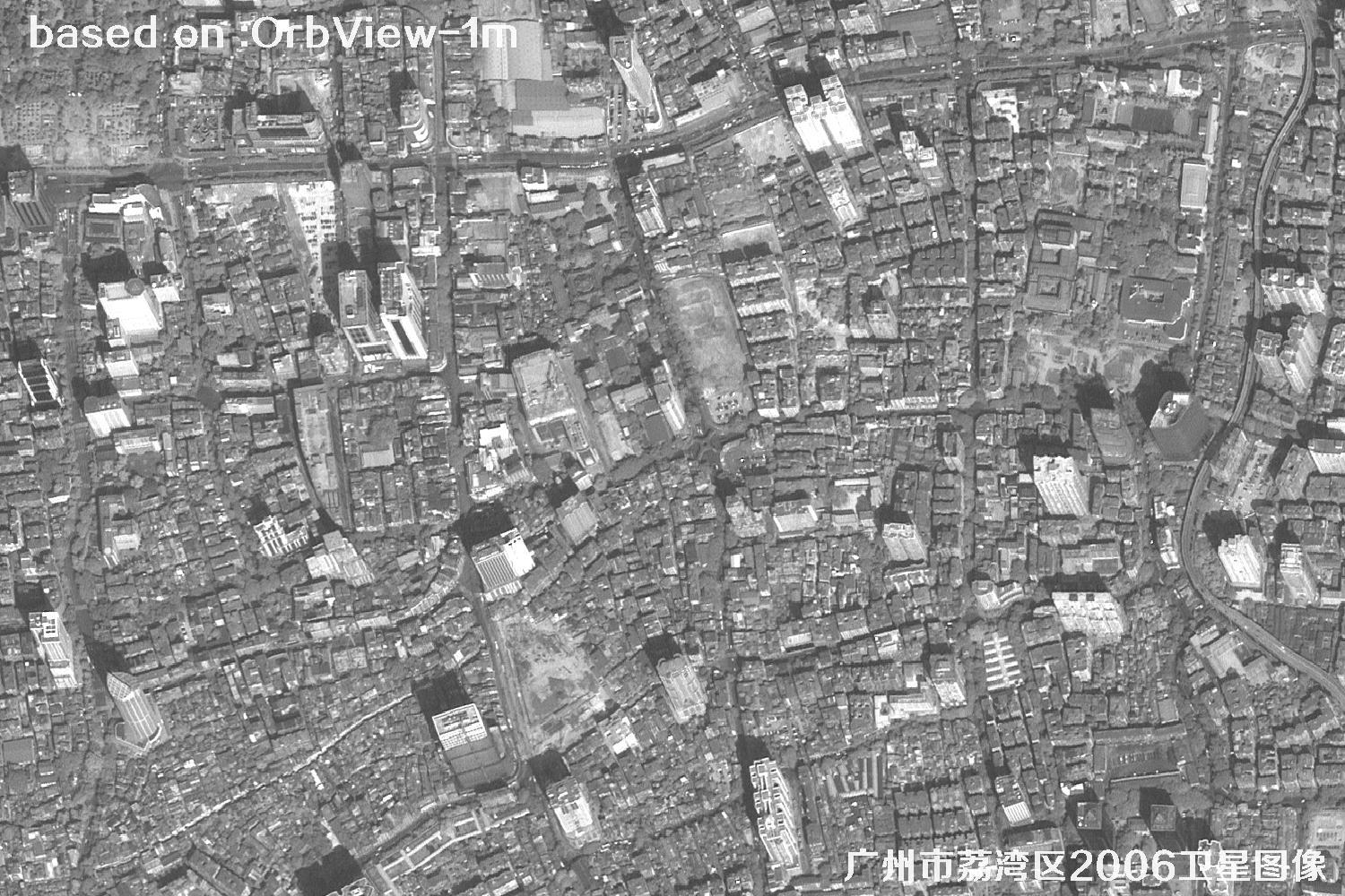
Liwan District lies in western central Guangzhou, where the Pearl River meets historic arcades, traditional neighborhoods, landmark buildings, and evolving commercial and residential areas. This 2006 OrbView collection, captured at 1-meter resolution, offers a useful historical snapshot of the district’s urban landscape. The imagery can help viewers examine street patterns, block layouts, waterways, building density, and green spaces, and compare them with present-day reference materials. It may support urban-planning research, change analysis, geographic education, and preliminary site reviews. Meter-level imagery reveals useful surface detail, although the level of visible detail depends on acquisition conditions and the size of each feature. It works best as a companion to maps and field research, not as a replacement for professional surveying. Whether you are tracing the growth of an older neighborhood or organizing regional records, these images provide an accessible way to build a spatial overview. The images below are 1-meter-resolution views of Liwan District captured by the OrbView satellite in 2006.
OrbView-3 launched on June 26, 2003. OrbView is a satellite program name; confirm the exact platform and sensor against the original image metadata.
IMAGE GALLERY
Need high-resolution satellite imagery? Contact the Beijing Yijingtu team for dedicated one-to-one assistance. Browse more satellite samples online. Contact our team · Satellite samples
Sample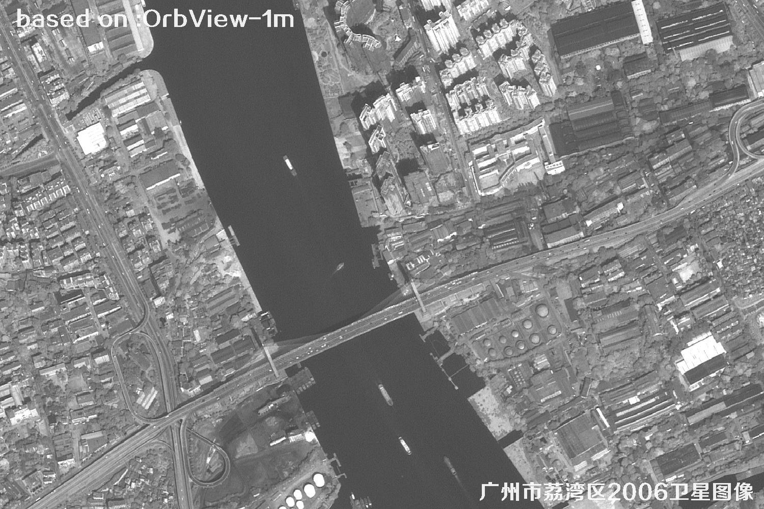 Sample
 Sample
 Sample
 Sample
 Sample
 Sample
 Sample
 Sample
 Sample
 Sample
 Sample
 Sample
 Sample
 Sample
 Sample
 Sample
 Sample
 Sample
 Sample
 Sample
 Sample
 Sample
 Sample
 Sample
 Sample
 Sample
 Sample
 Sample
 Sample
 Sample
 Sample
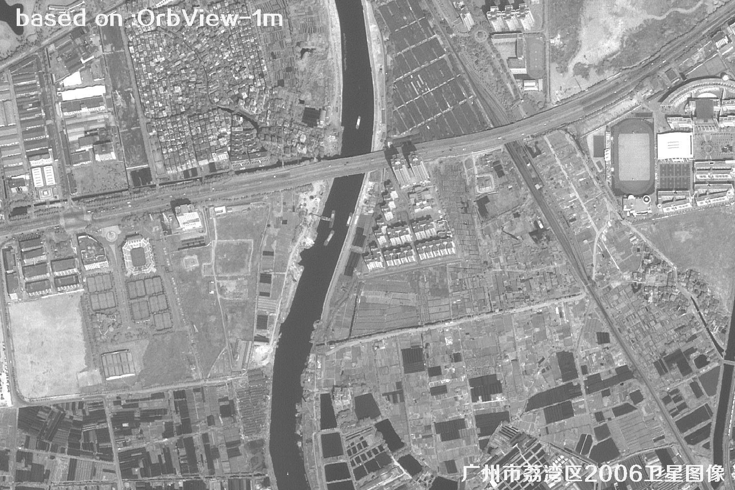 Sample
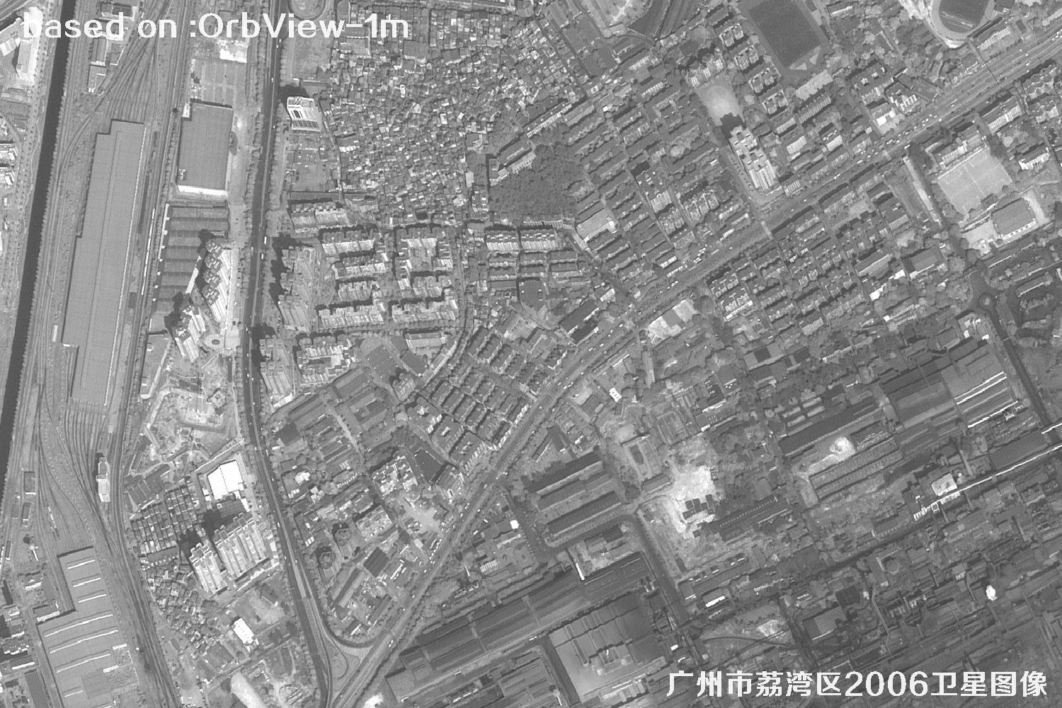 Sample
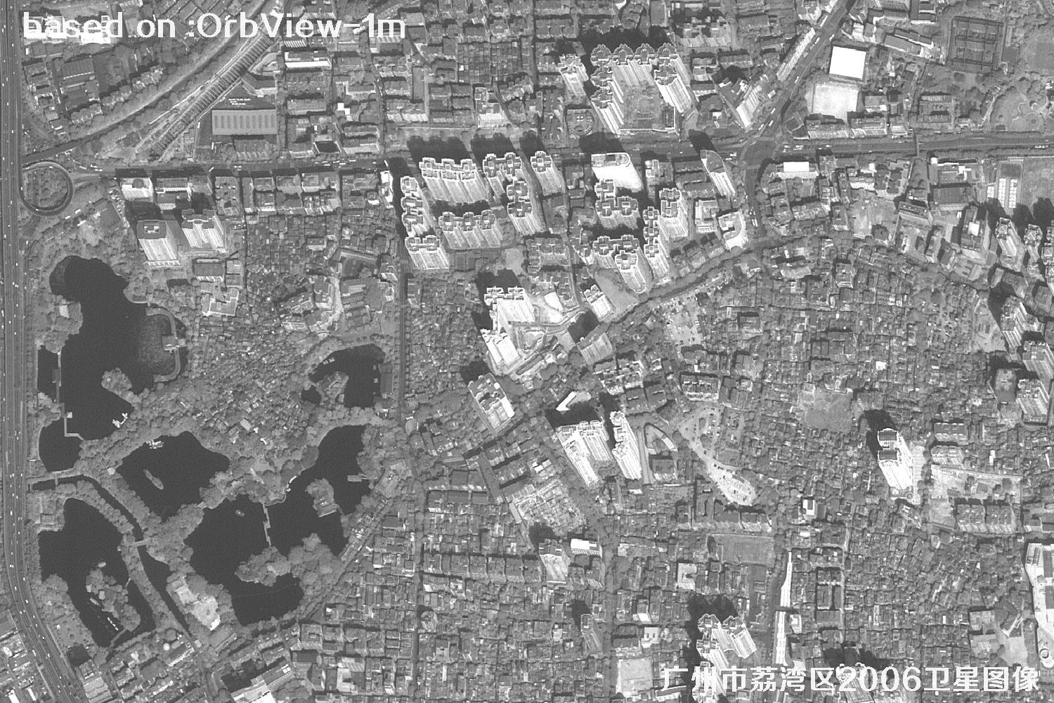 Sample
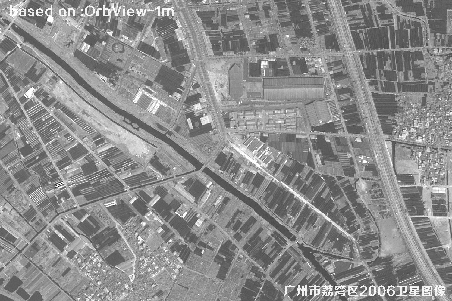 Sample
 Sample
 Sample
 Sample
 Sample
 Sample
 Sample
 Sample
 Sample
 Sample
 Sample
 Sample
 Sample
✦ Image clarity can vary with weather, season, viewing angle, and the size and contrast of the target. These samples are provided for browsing and reference; actual image detail may differ.
EXPLORE BY FEATURE