Jinan 2003 1m Resolution OrbView Satellite Historical Imagery
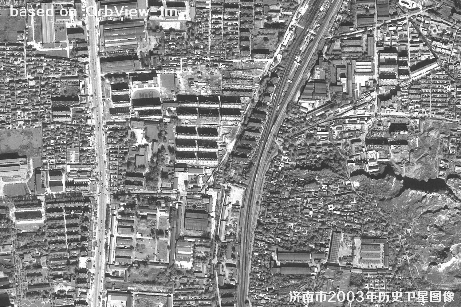
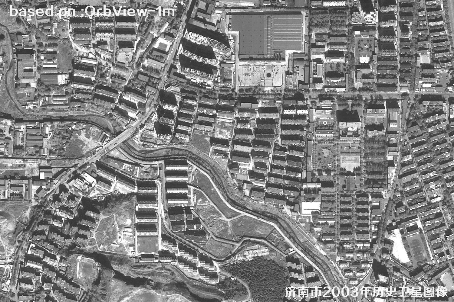
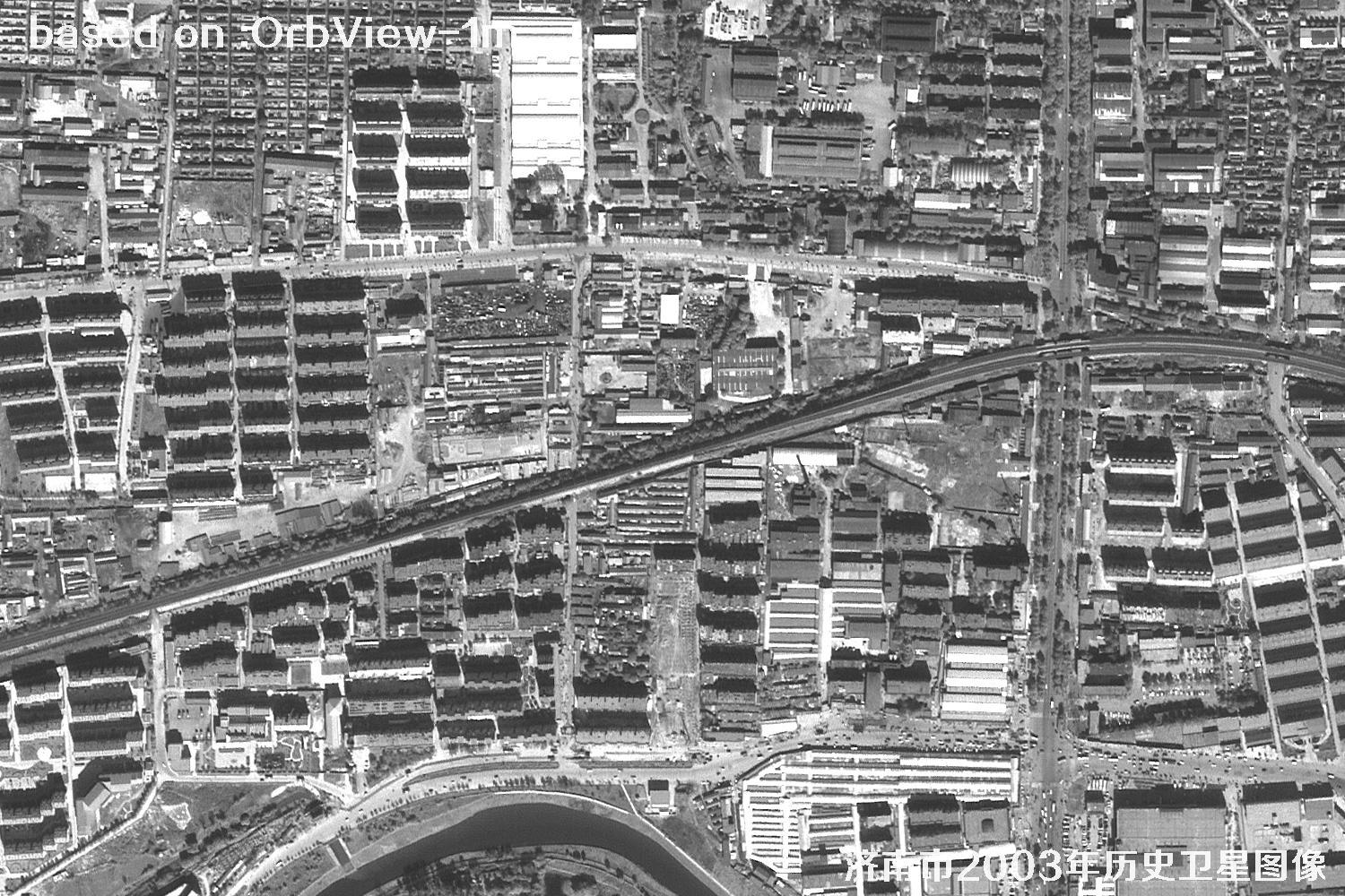
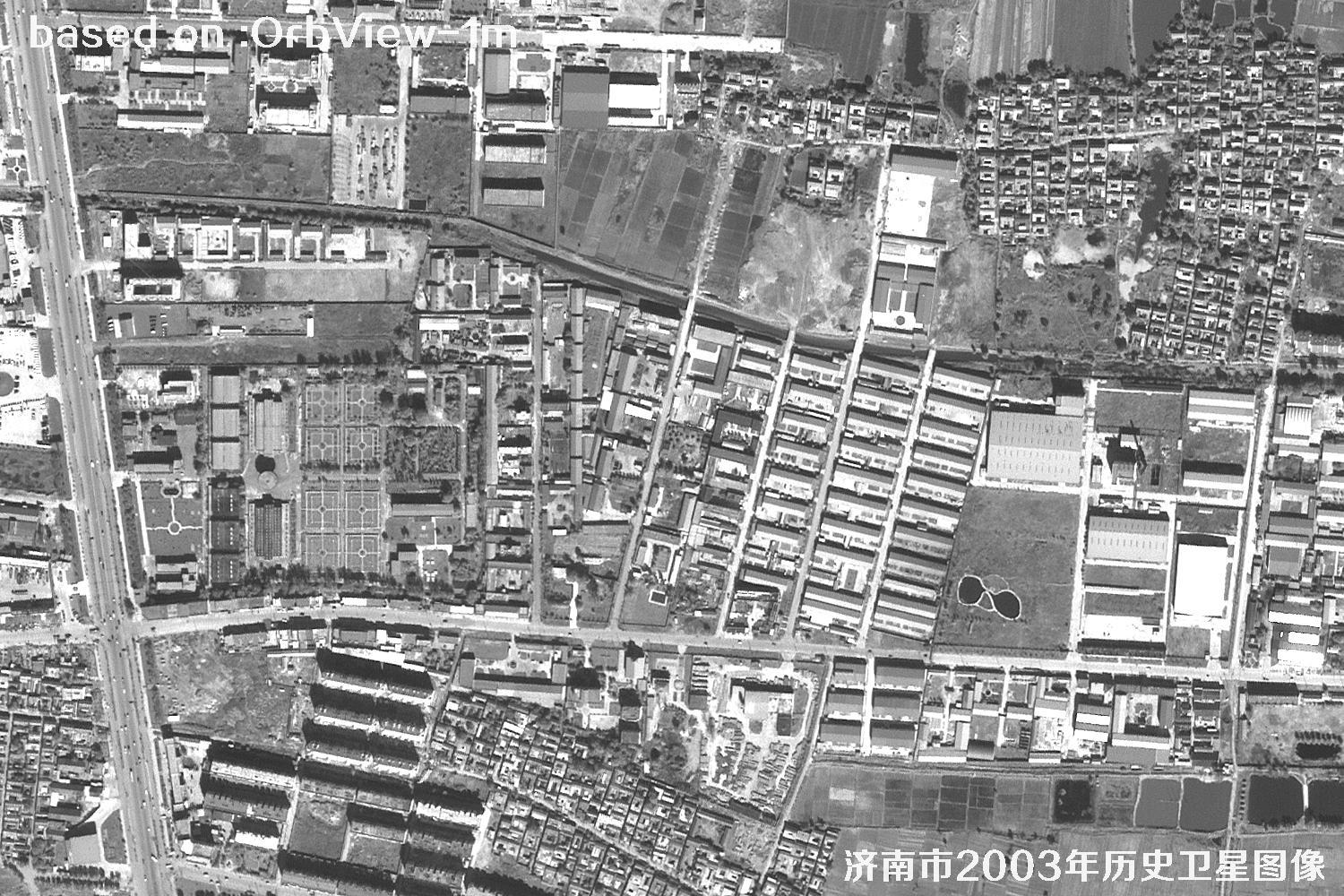
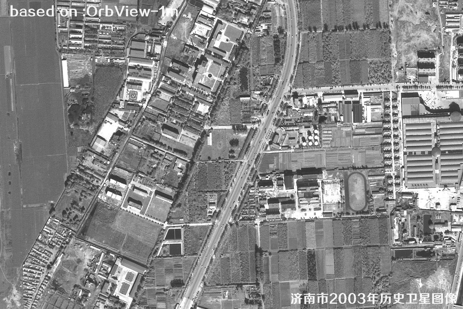
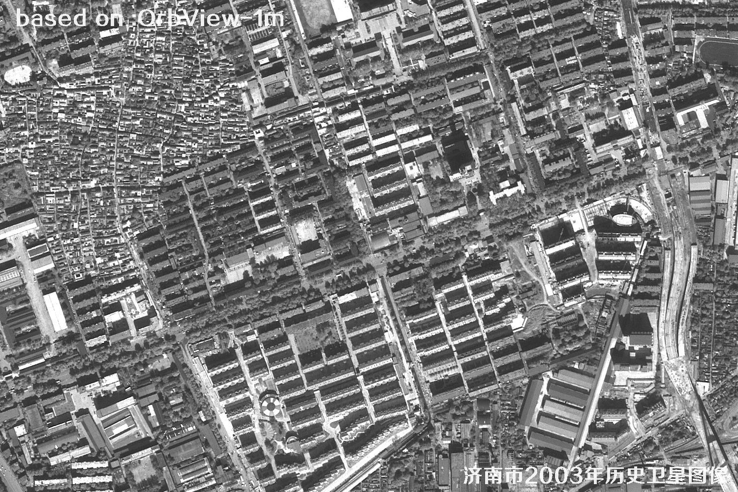
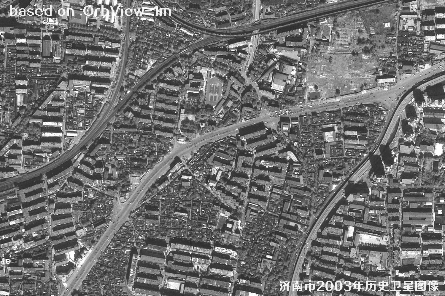
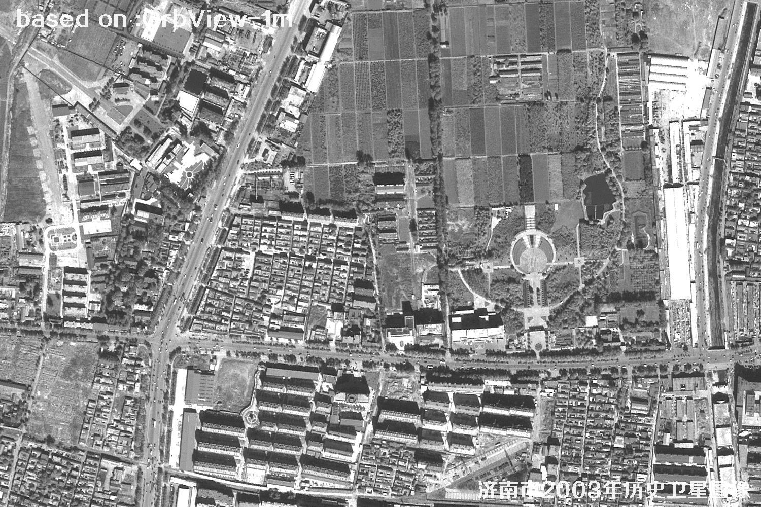
Jinan is known for its springs, and also for the layers of time left by a city that keeps growing. In 2003, Jingshi Road was far less busy, the eastern new town was just starting out, and many landmarks we know today had not yet appeared.
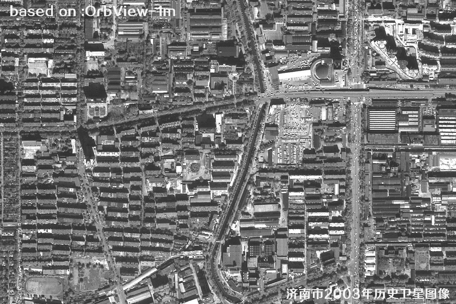
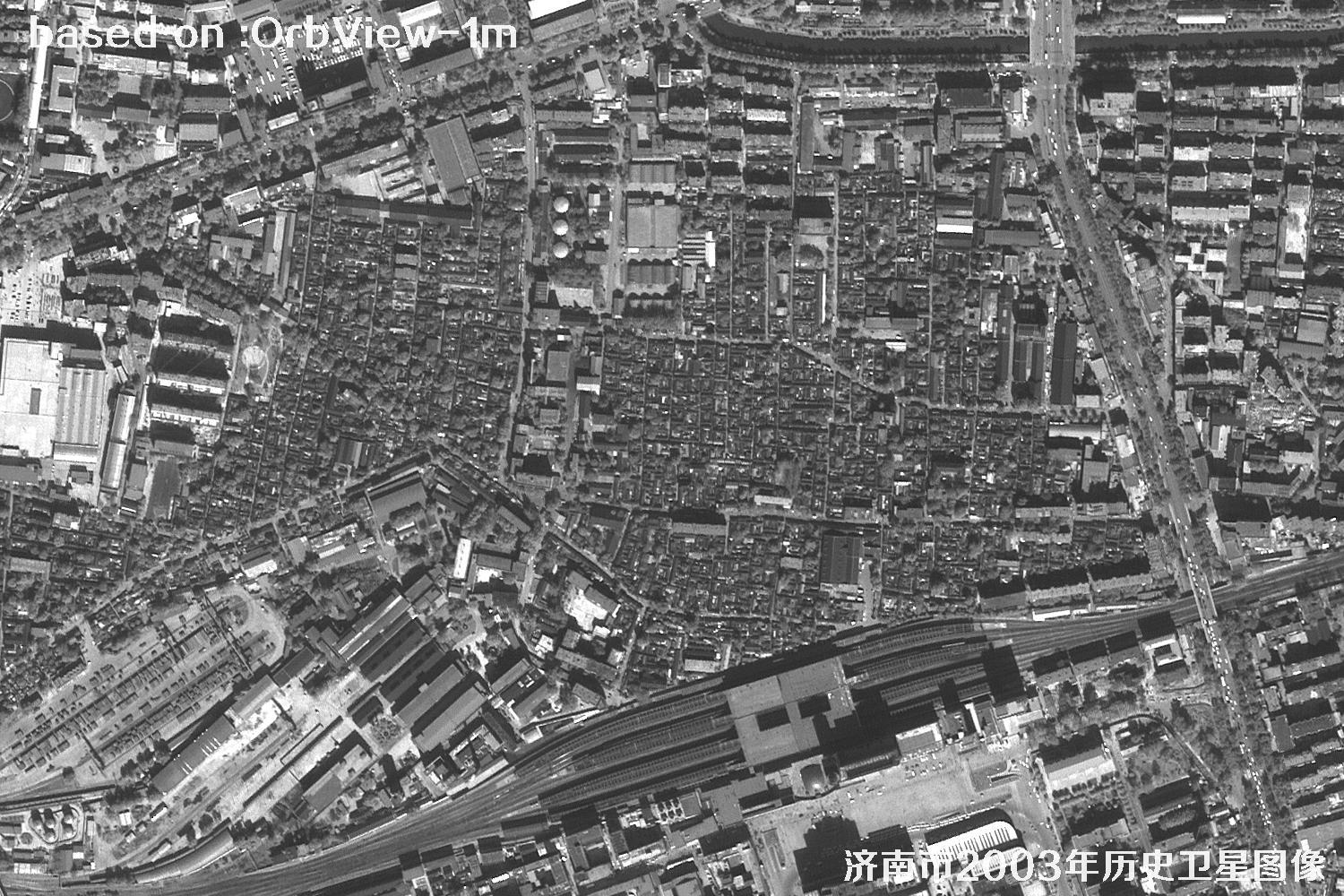
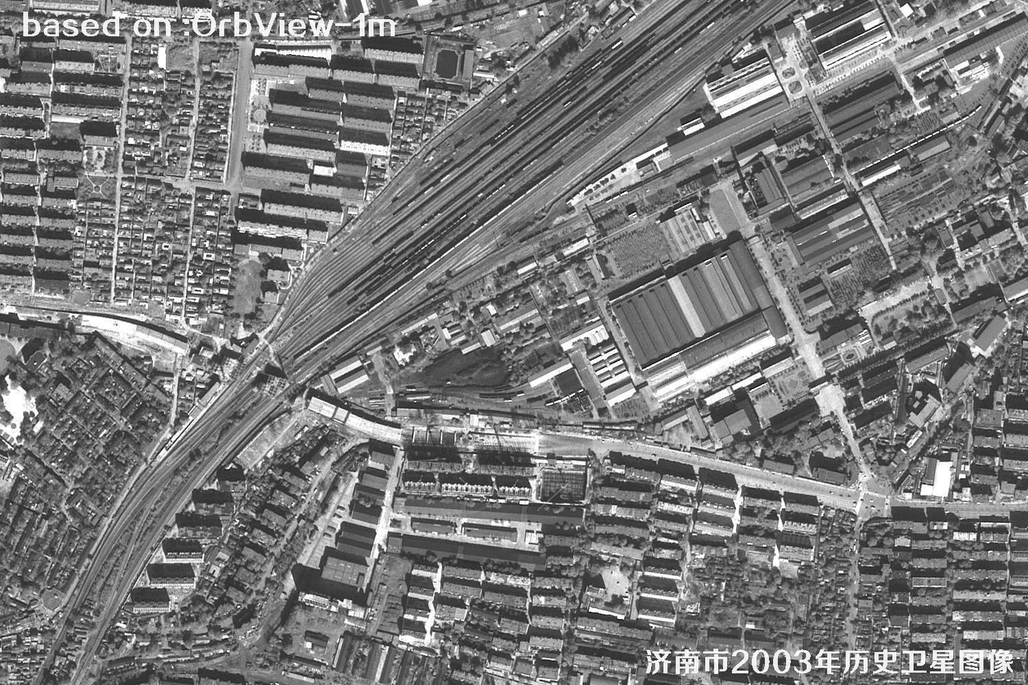
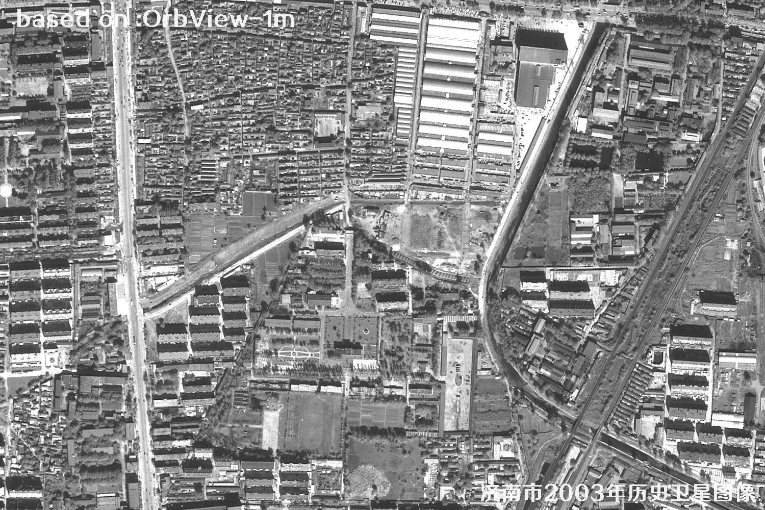
OrbView recorded the roads, neighborhoods, farmland and river channels of that year at 1 m resolution. For researchers, it is a valuable slice for watching urban expansion and land-use change; for ordinary readers, it is like an old photograph you can zoom into, showing what home looked like more than two decades ago.
Placed beside today's maps, every stage of the city's growth becomes traceable — the texture of old neighborhoods, the extension of roads, and the moment fields turned into blocks can all be found in these pixels. Whether you are studying the city, reviewing a plan, or simply looking for a place you remember, these images deserve a slow look. The images below are 1 m resolution historical satellite images of Jinan, Shandong Province, captured by OrbView in 2003.
Tip: For high-resolution satellite imagery, please contact the staff at Beijing Yijingtu. Click online search to browse more satellite samples. One-to-one service, professional and fast.
OrbView Satellite Profile
OrbView-3 was a commercial high-resolution optical remote sensing satellite built by Orbital Sciences Corporation of the United States and launched on June 26, 2003. It operated in a sun-synchronous orbit at an altitude of about 470 km, with 1 m panchromatic resolution, 4 m multispectral resolution, an imaging swath of about 8 km and a revisit period of roughly 3 days.
The satellite stopped operating in 2007, but its archived imagery remains highly useful. At 1 m, roads, building outlines, farmland parcels and larger water bodies can be identified, making the data suitable for urban change studies, historical map comparison, land-use checks and teaching demonstrations.
For Jinan, these 2003 images capture the city just before a period of rapid expansion in the new century. Overlaying them on today's satellite maps reveals changes in the urban edge, the road network and the land-use structure, and provides a reliable visual reference for correcting old maps and tracing place names.
Note: resolution figures are theoretical nadir values; actual image quality is affected by weather, viewing angle and season.
Jinan Satellite Images from 2003
48 historical 1 m resolution samples, three per row. Click any image or the ⛶ button in the middle to view it full screen; use the arrow keys to browse.
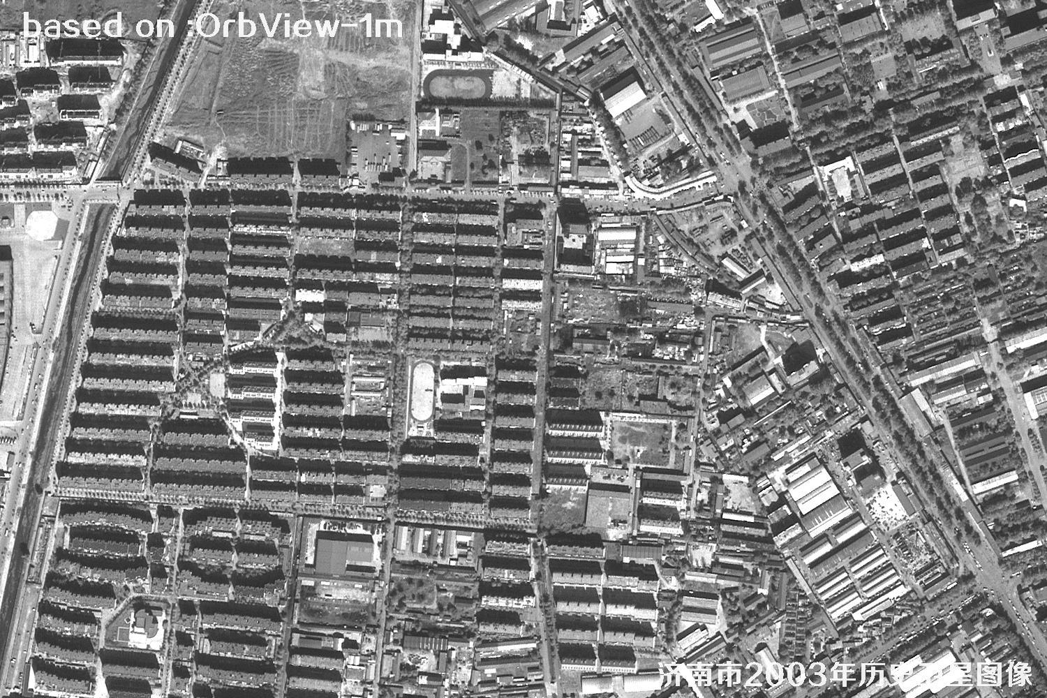 SAMPLE
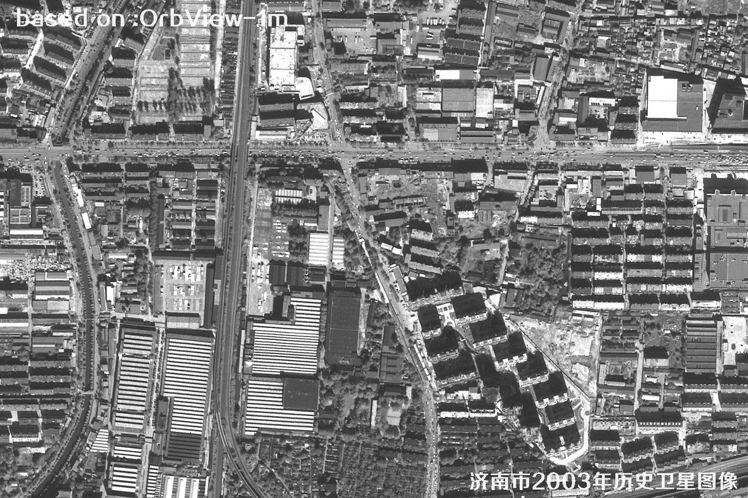 SAMPLE
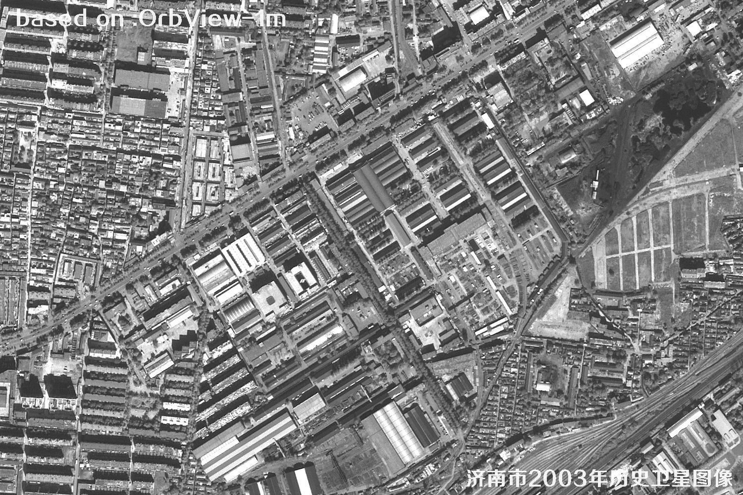 SAMPLE
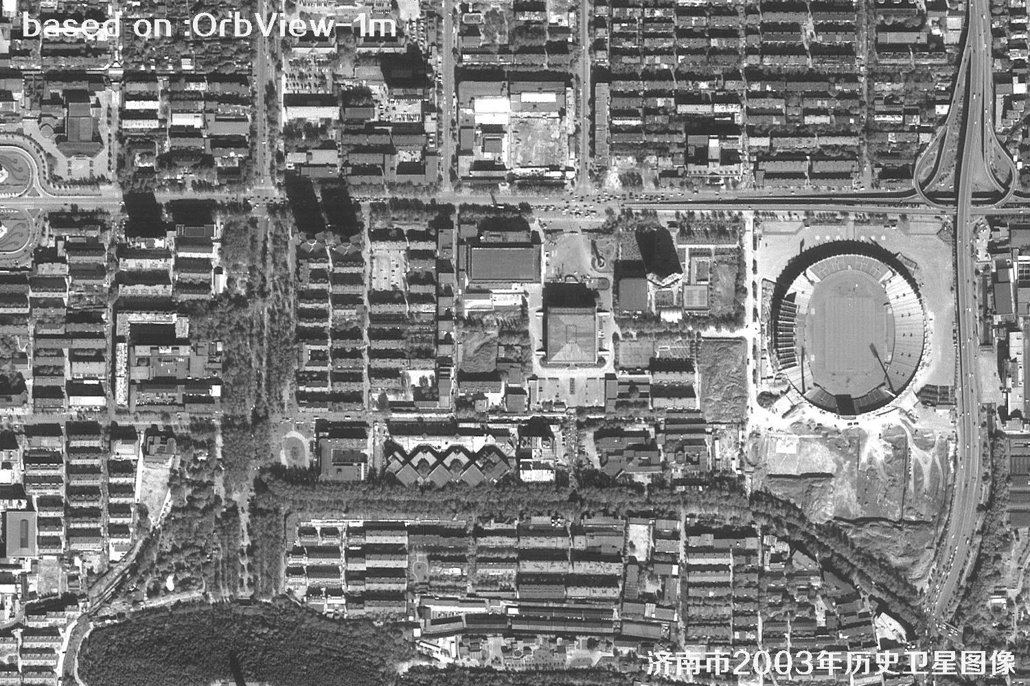 SAMPLE
 SAMPLE
 SAMPLE
 SAMPLE
 SAMPLE
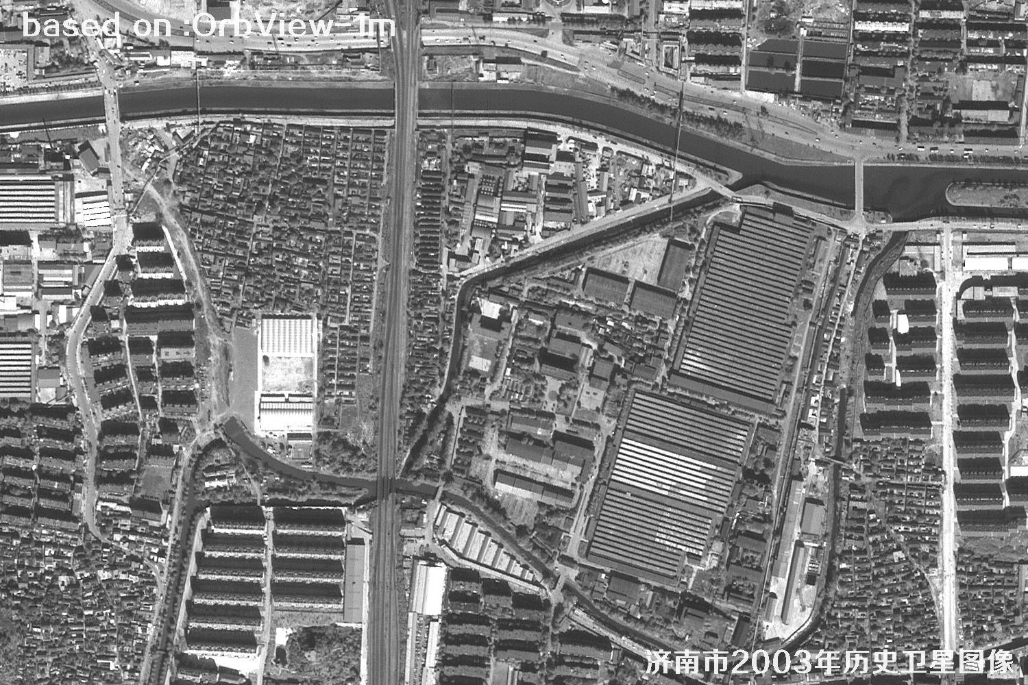 SAMPLE
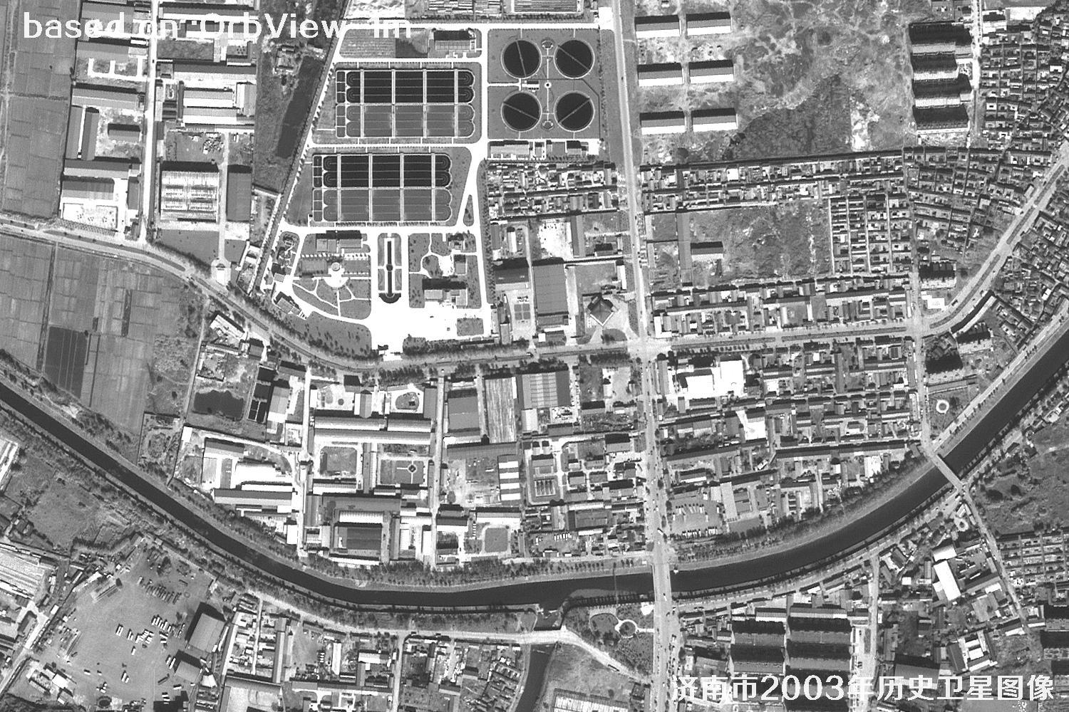 SAMPLE
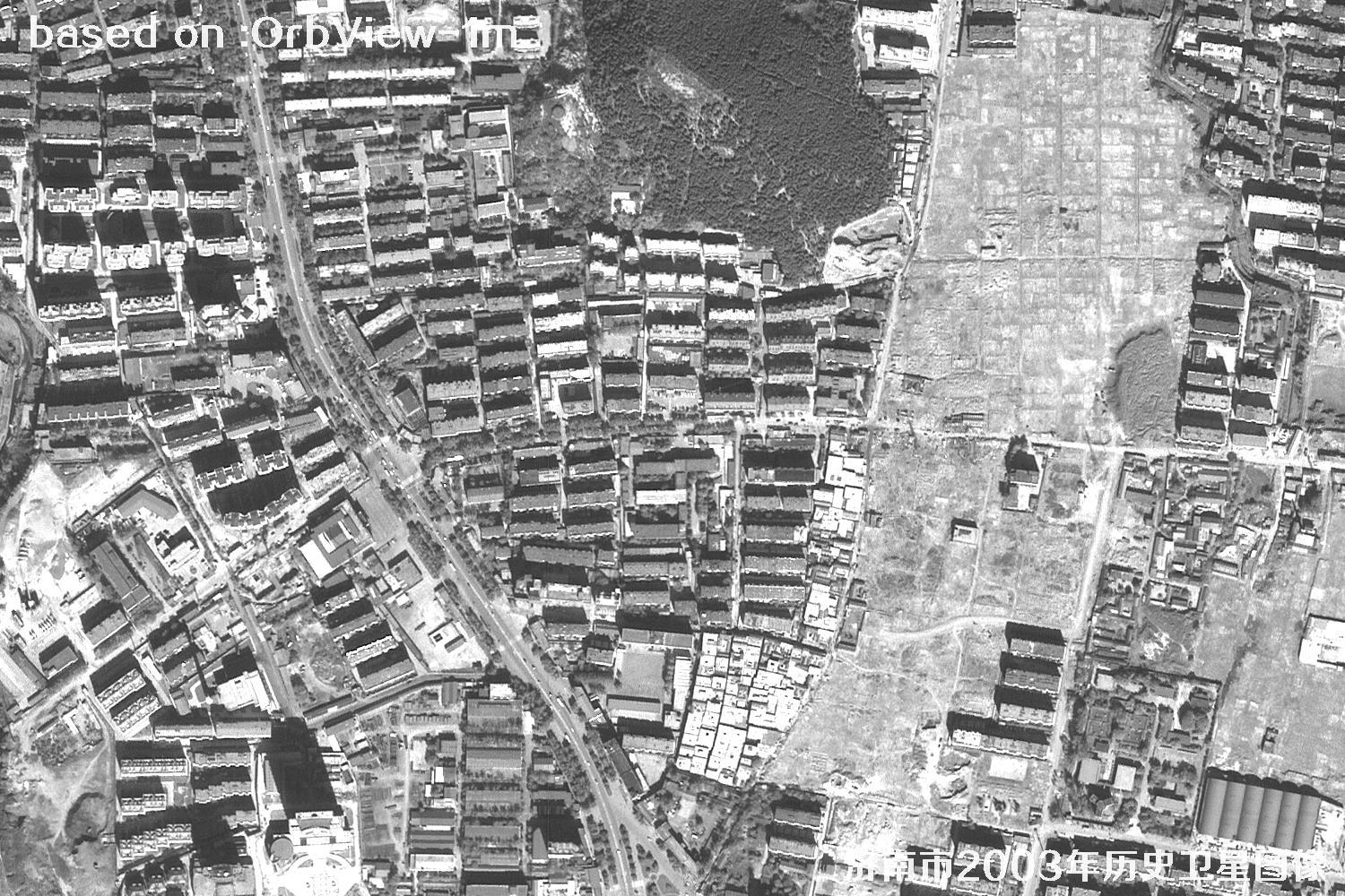 SAMPLE
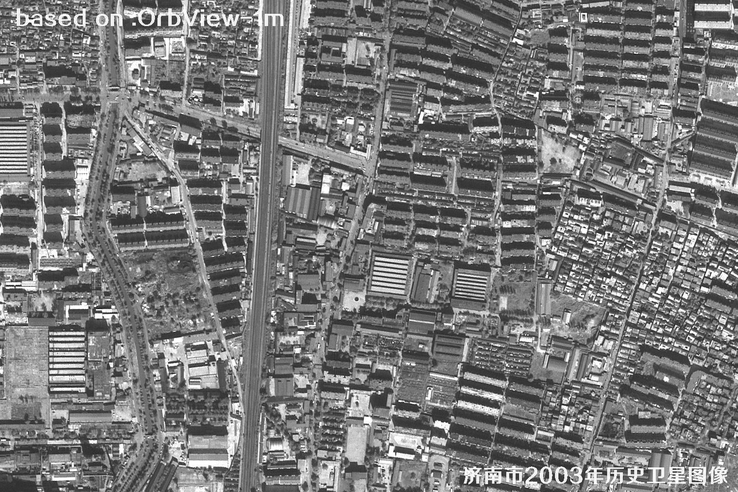 SAMPLE
 SAMPLE
 SAMPLE
 SAMPLE
 SAMPLE
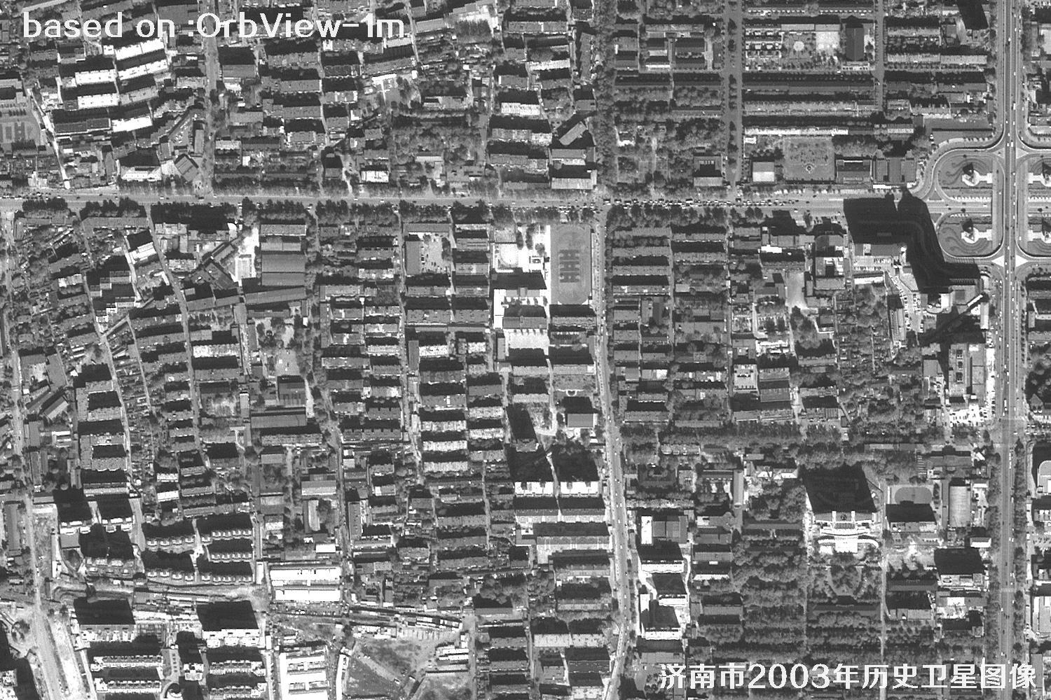 SAMPLE
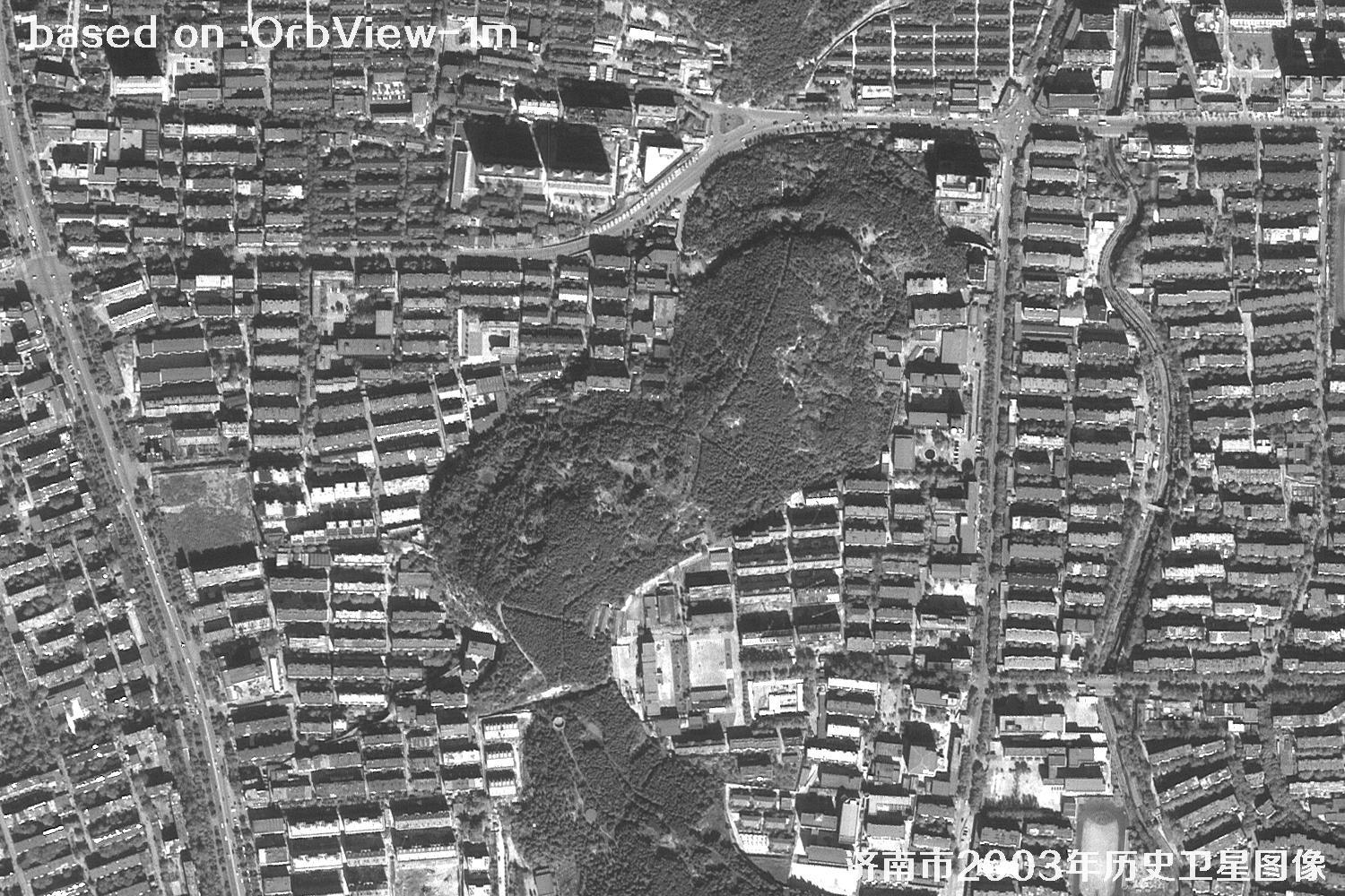 SAMPLE
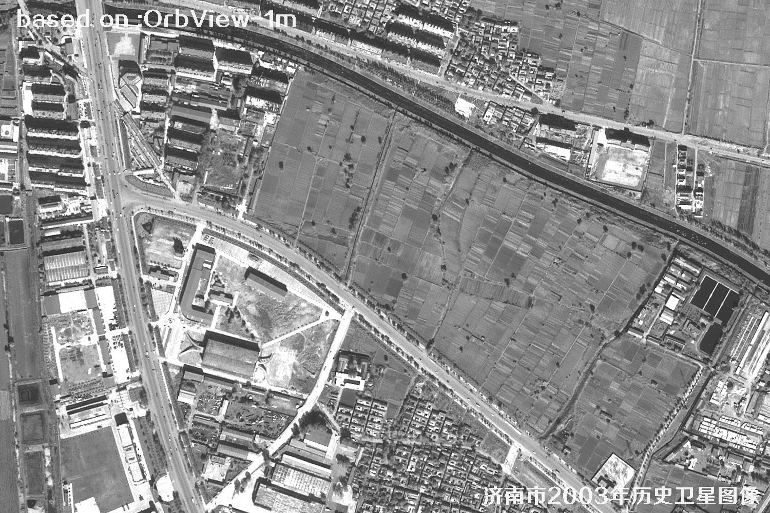 SAMPLE
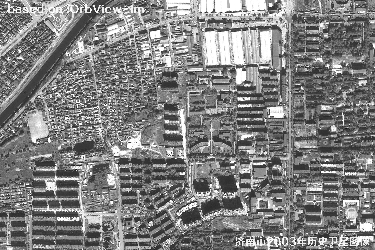 SAMPLE
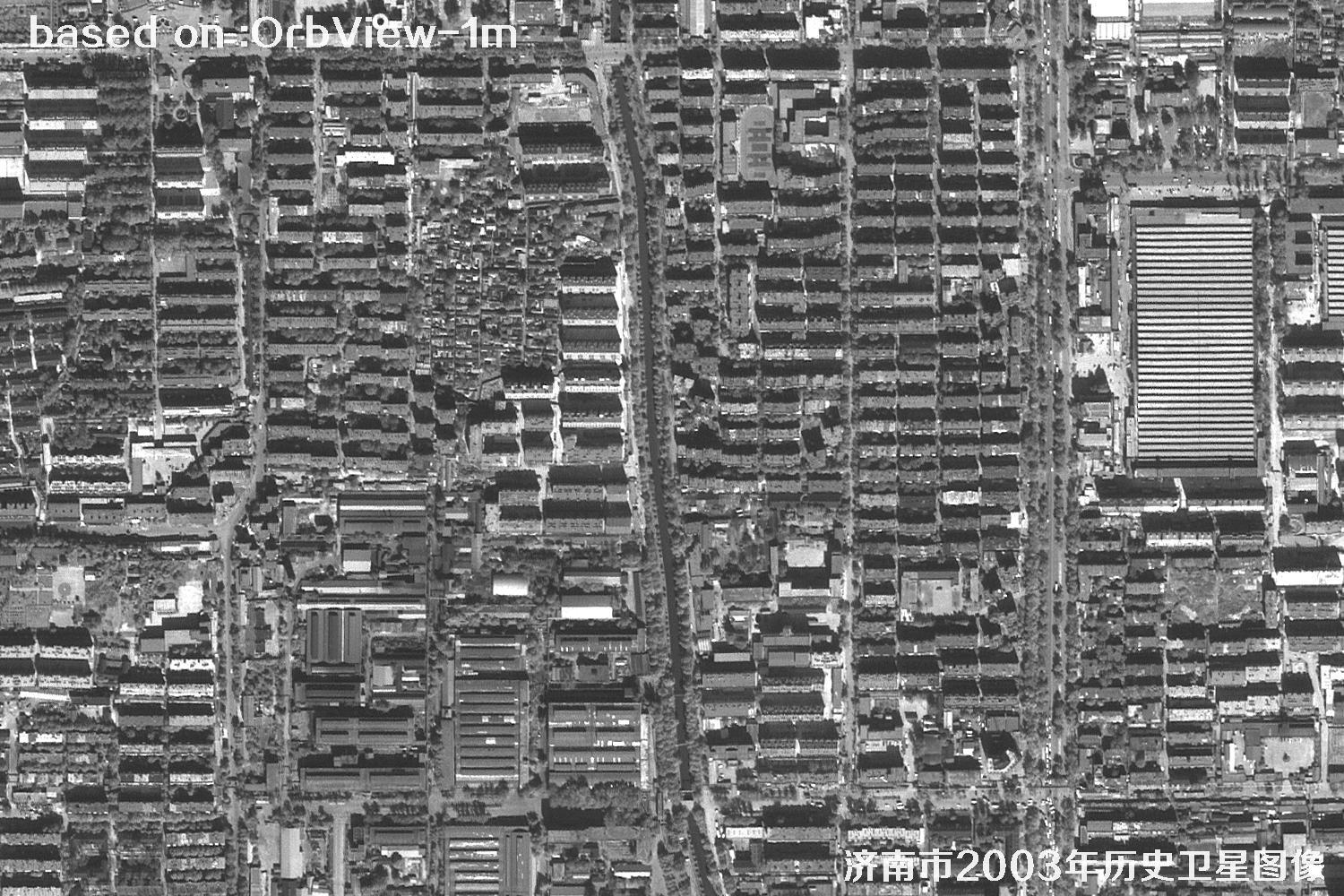 SAMPLE
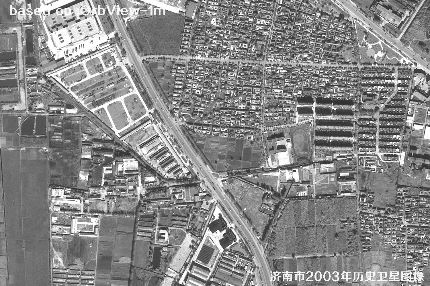 SAMPLE
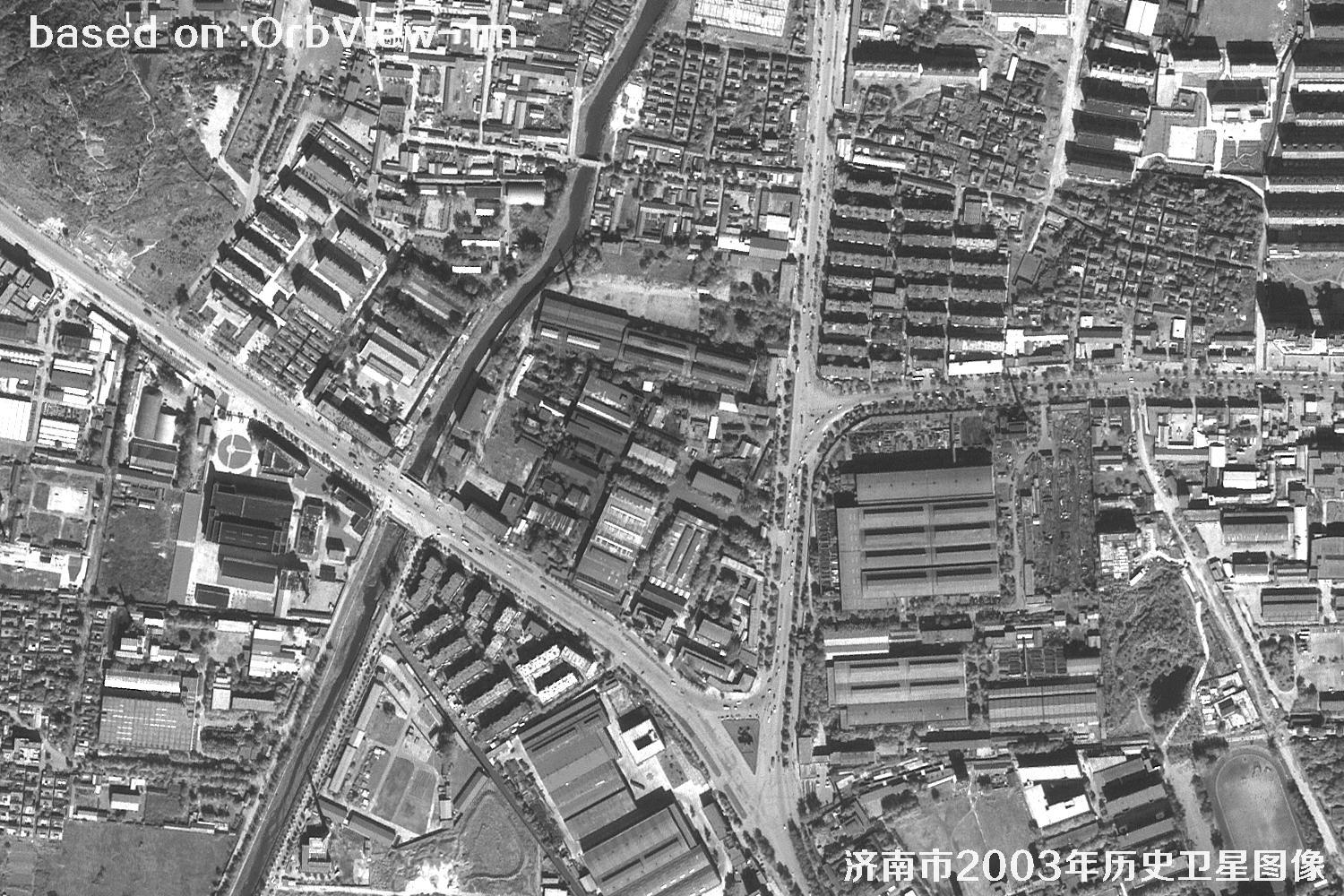 SAMPLE
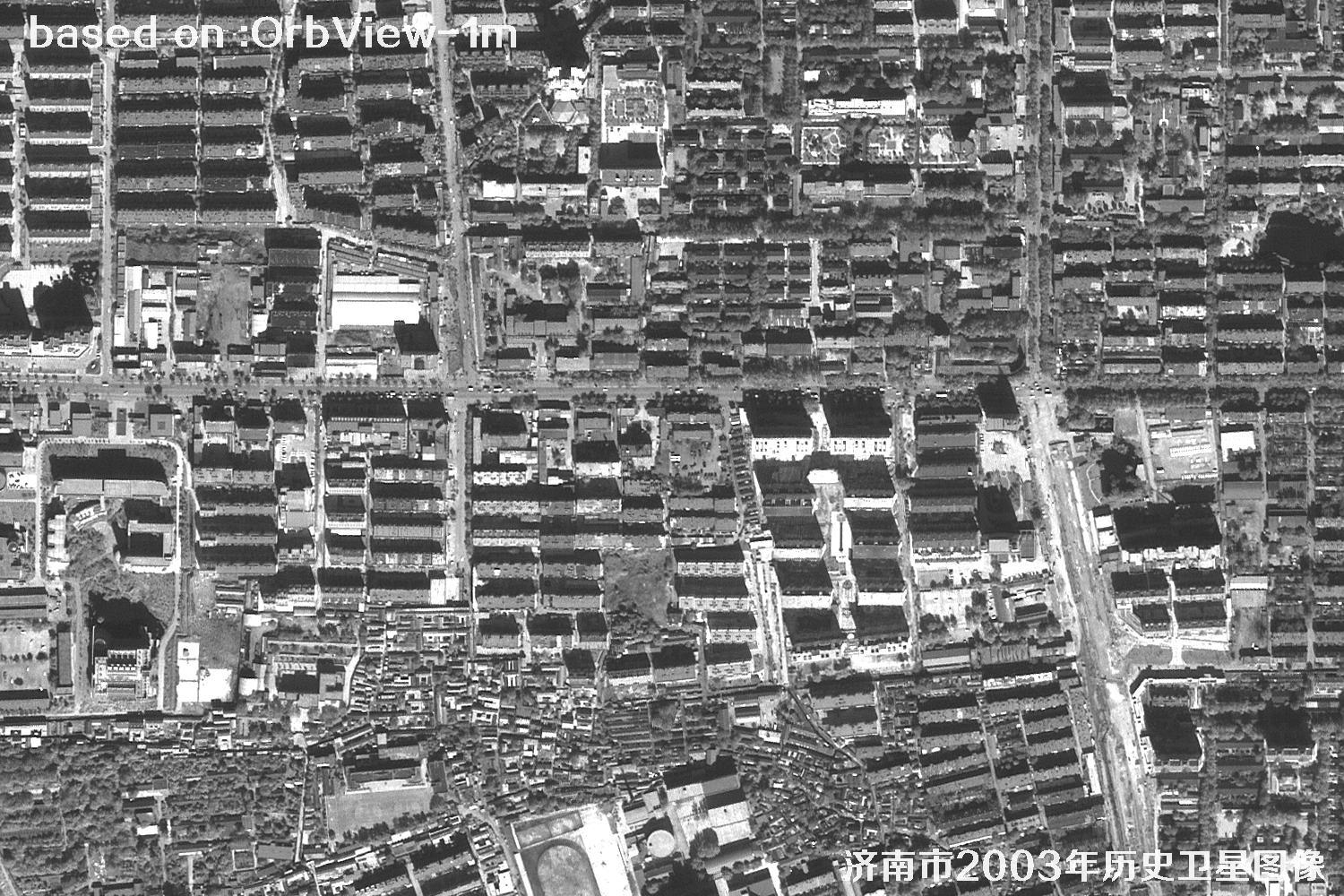 SAMPLE
 SAMPLE
 SAMPLE
 SAMPLE
 SAMPLE
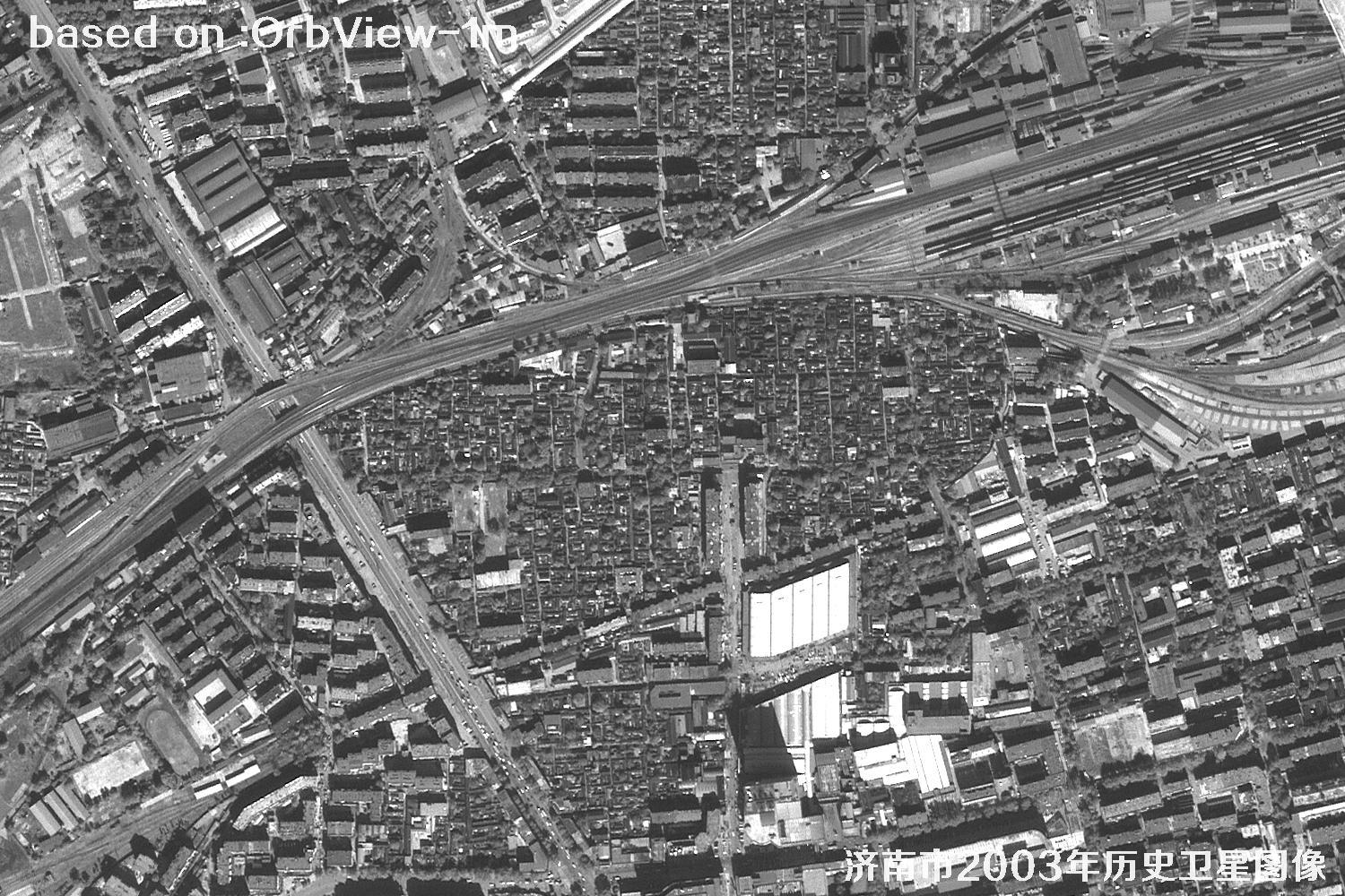 SAMPLE
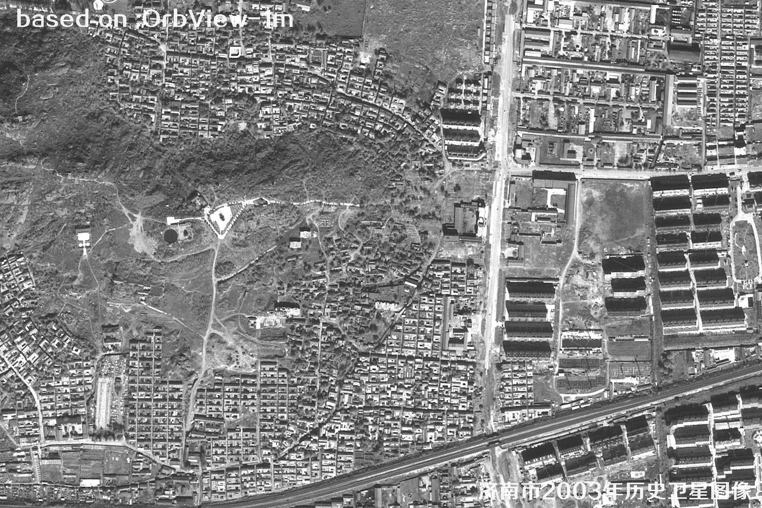 SAMPLE
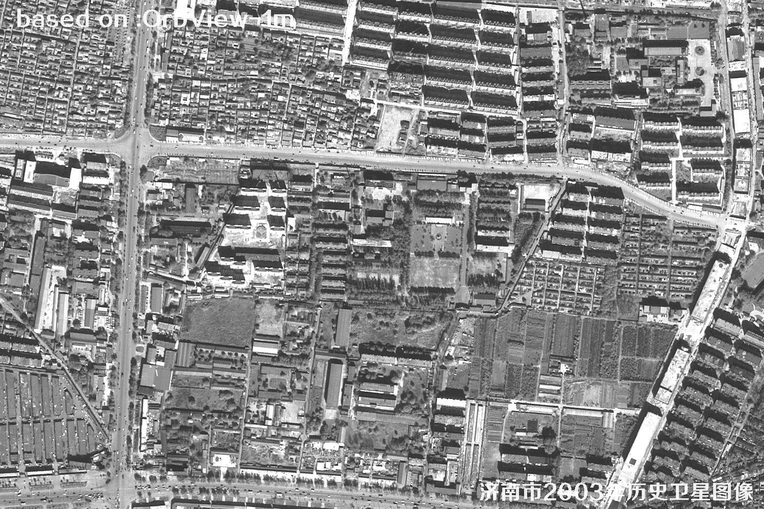 SAMPLE
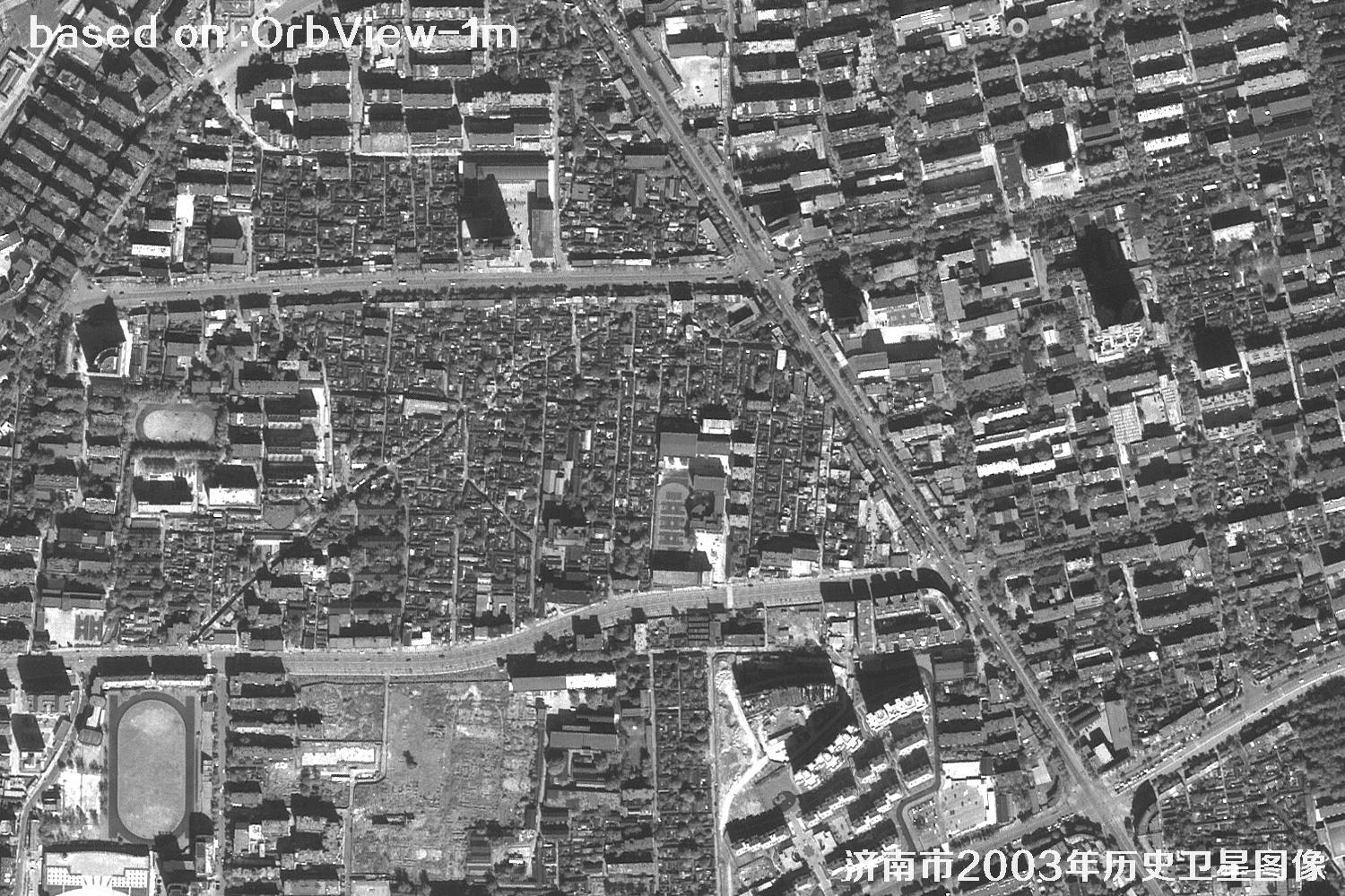 SAMPLE
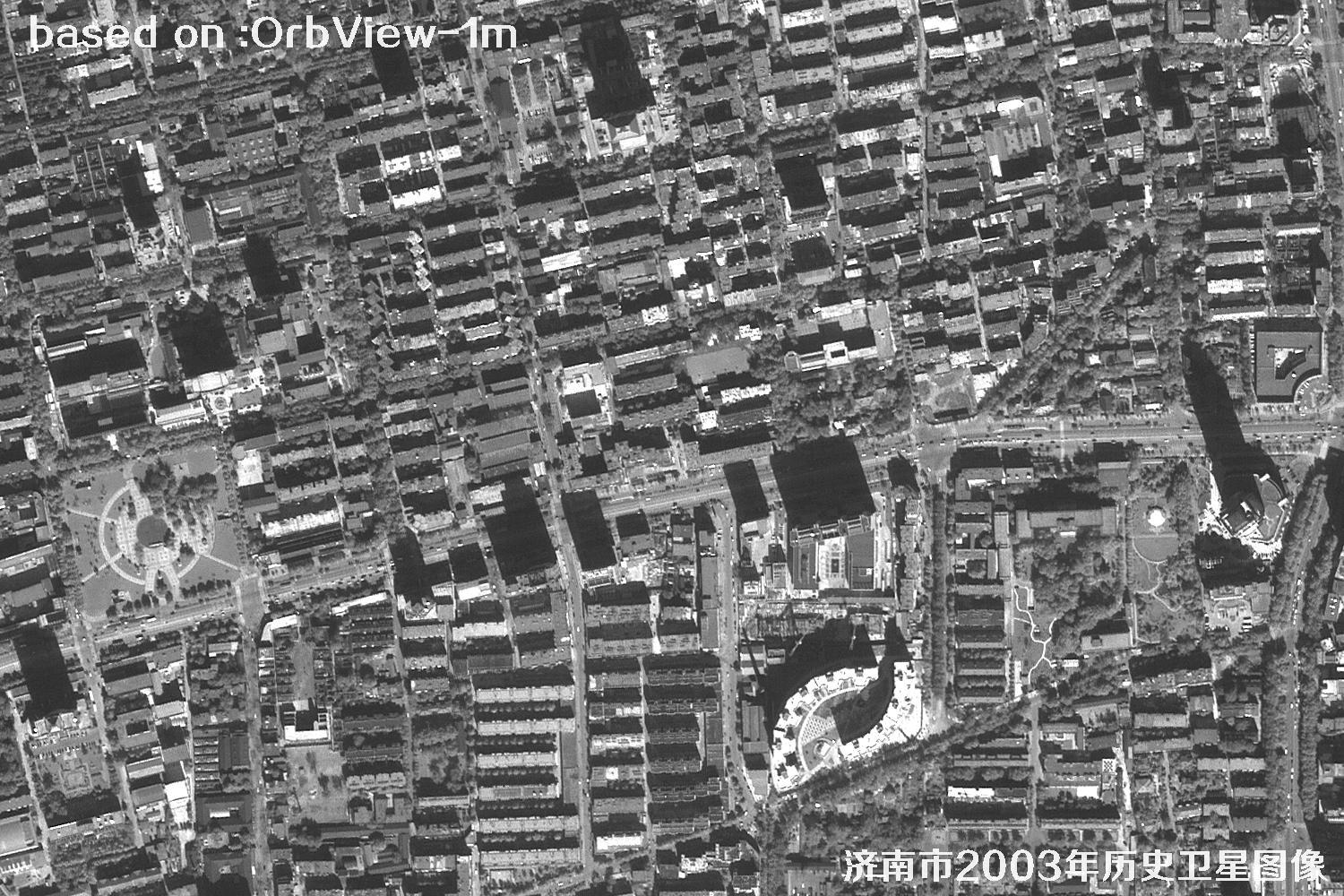 SAMPLE
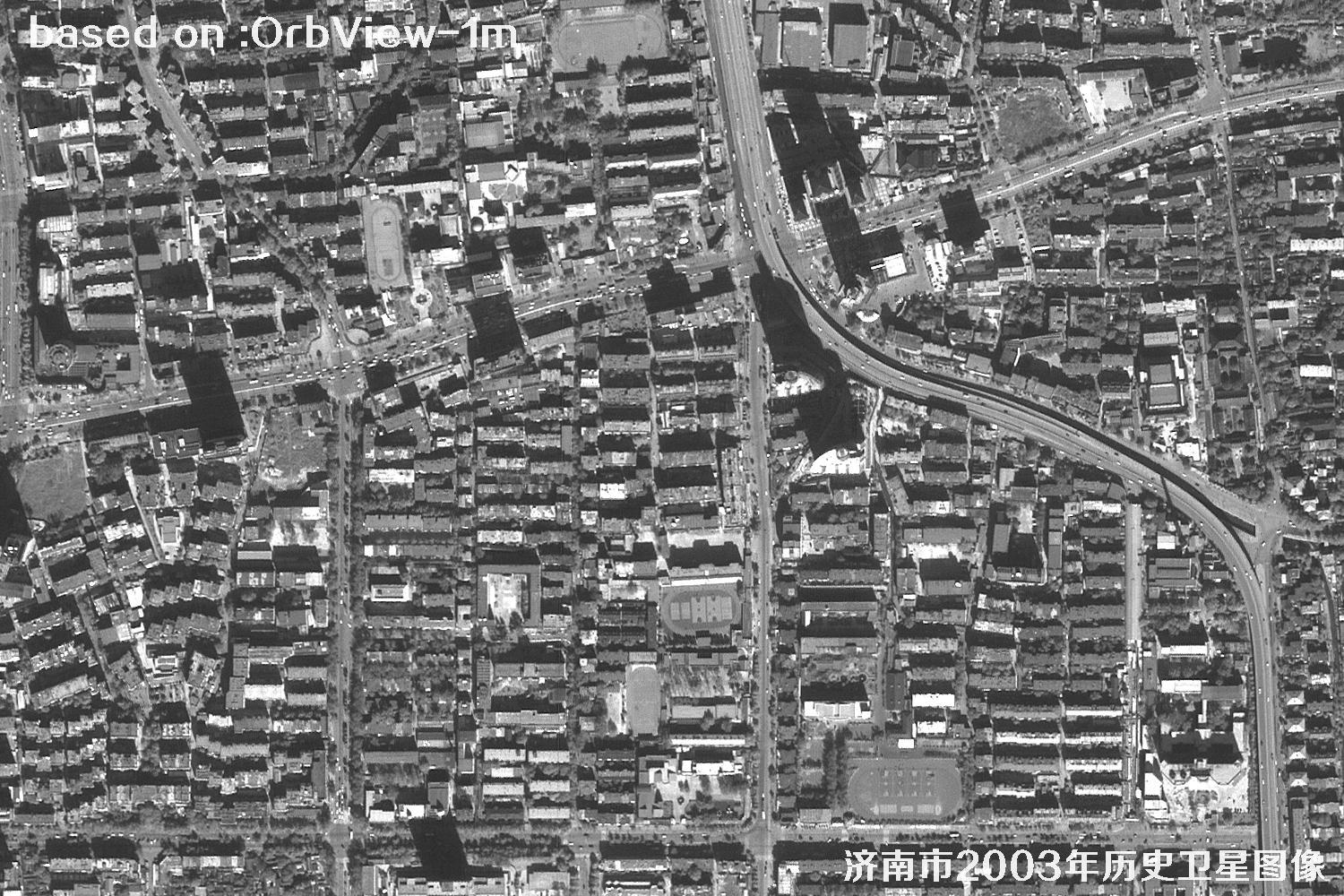 SAMPLE
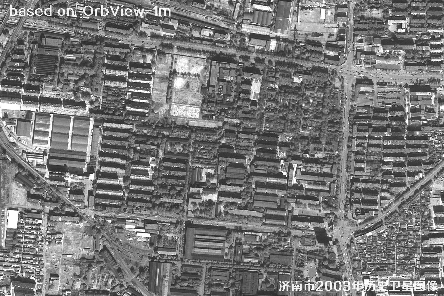 SAMPLE
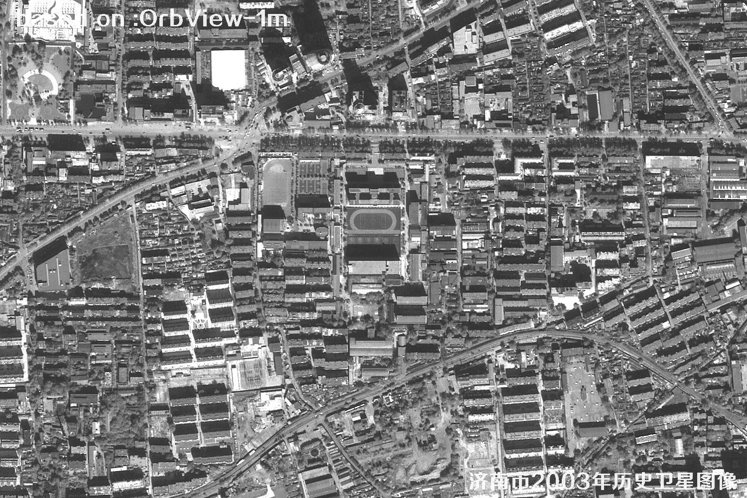 SAMPLE
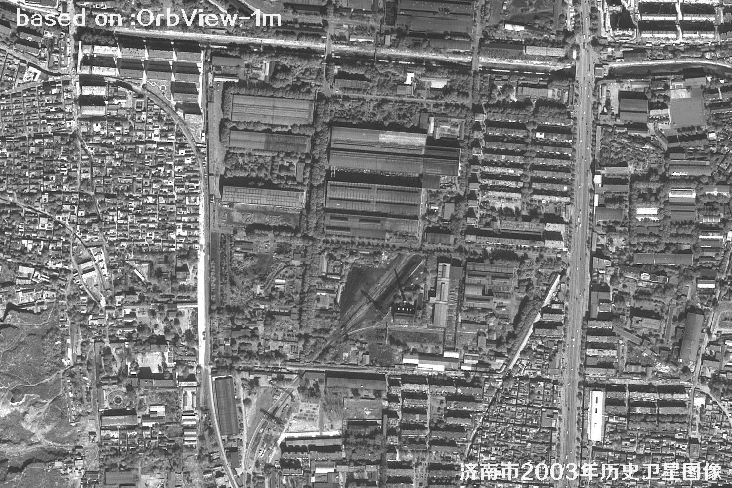 SAMPLE
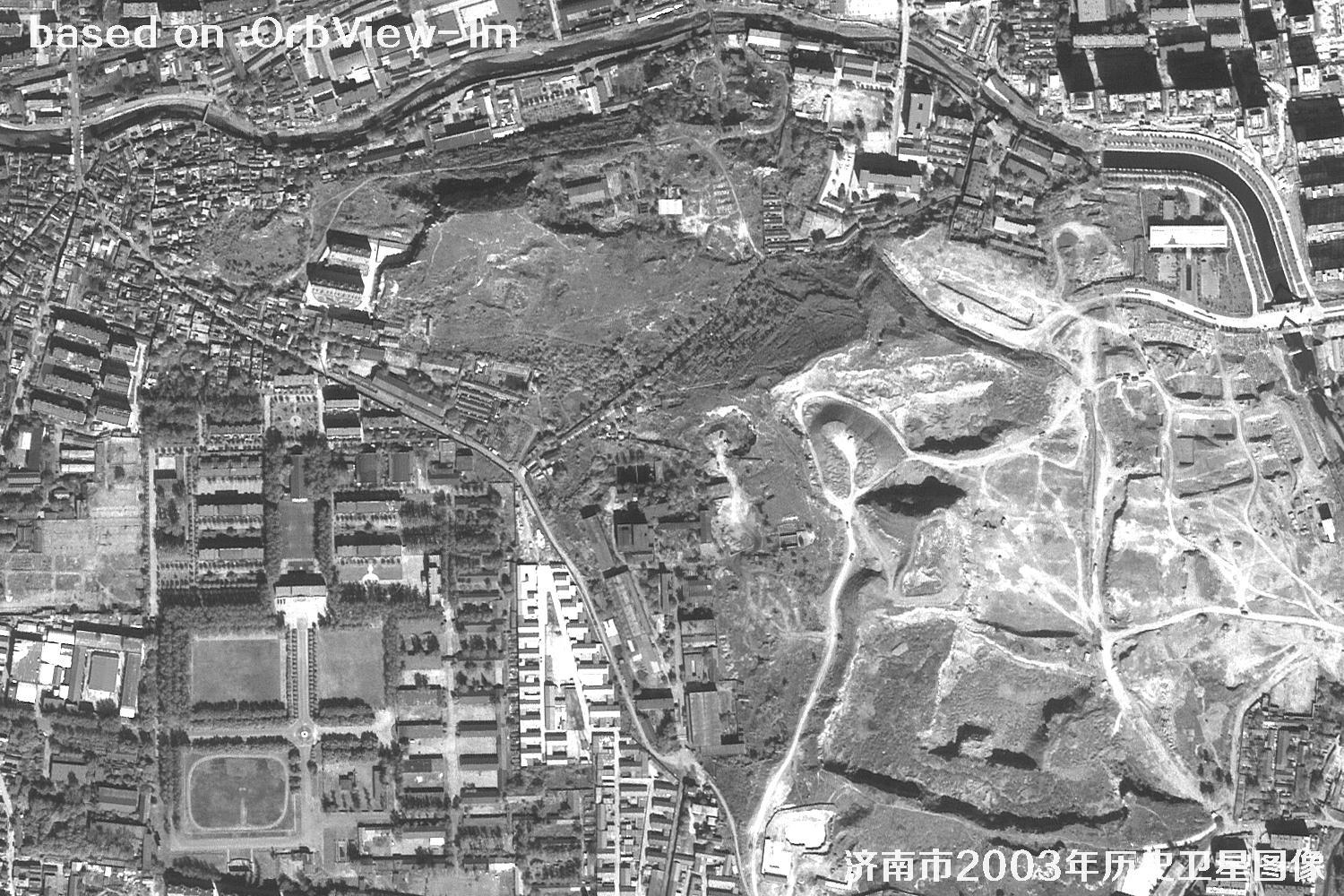 SAMPLE
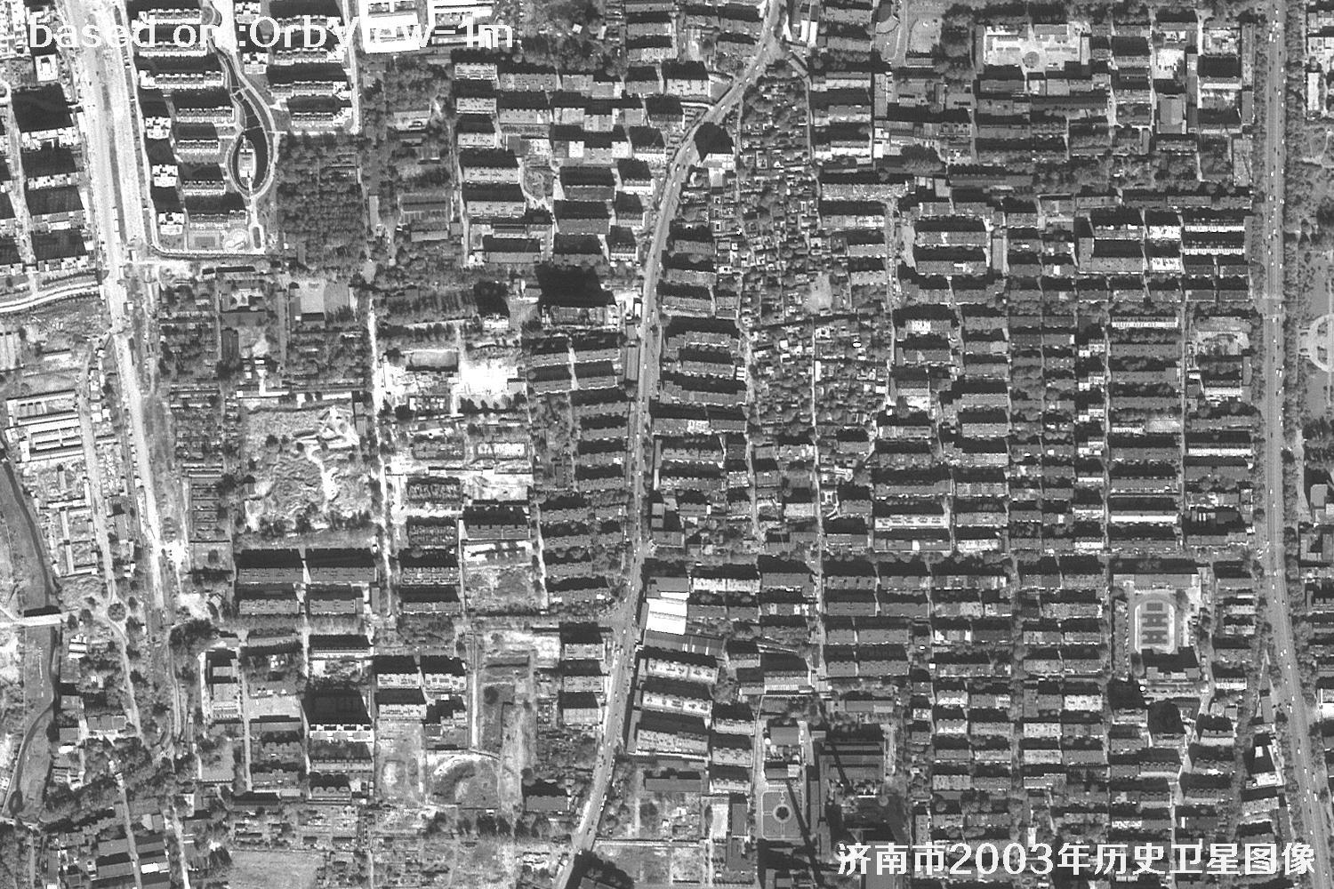 SAMPLE
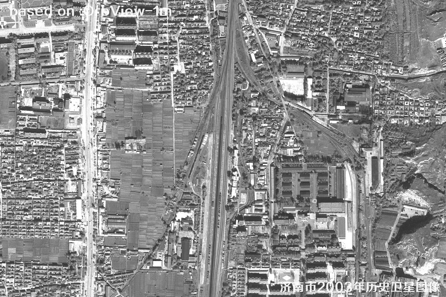 SAMPLE
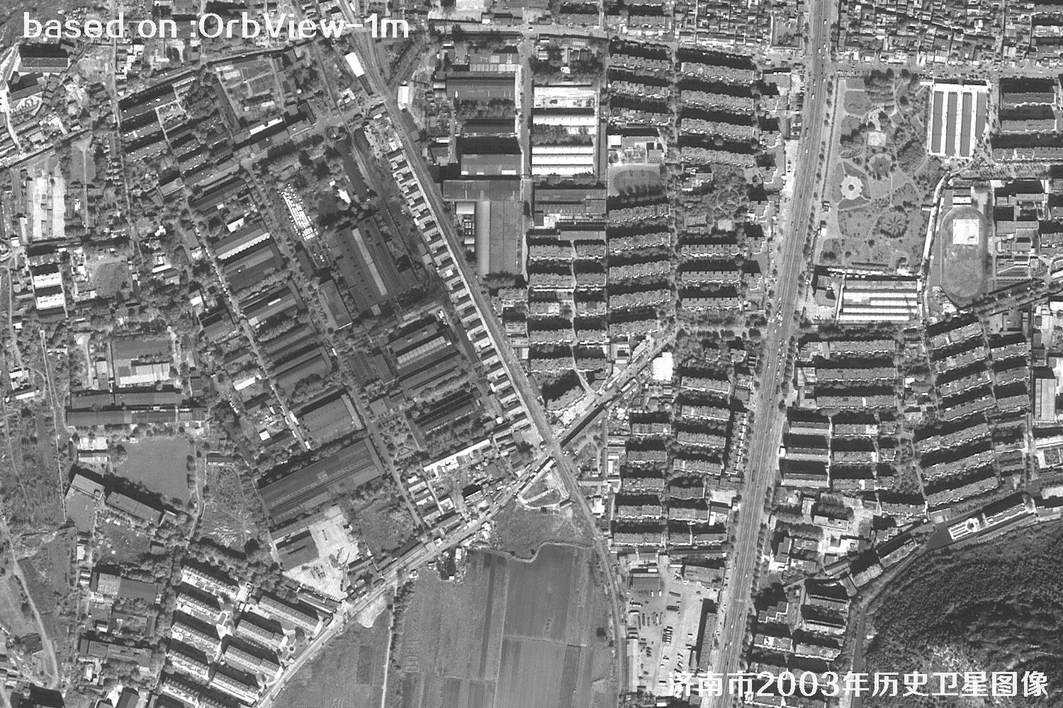 SAMPLE
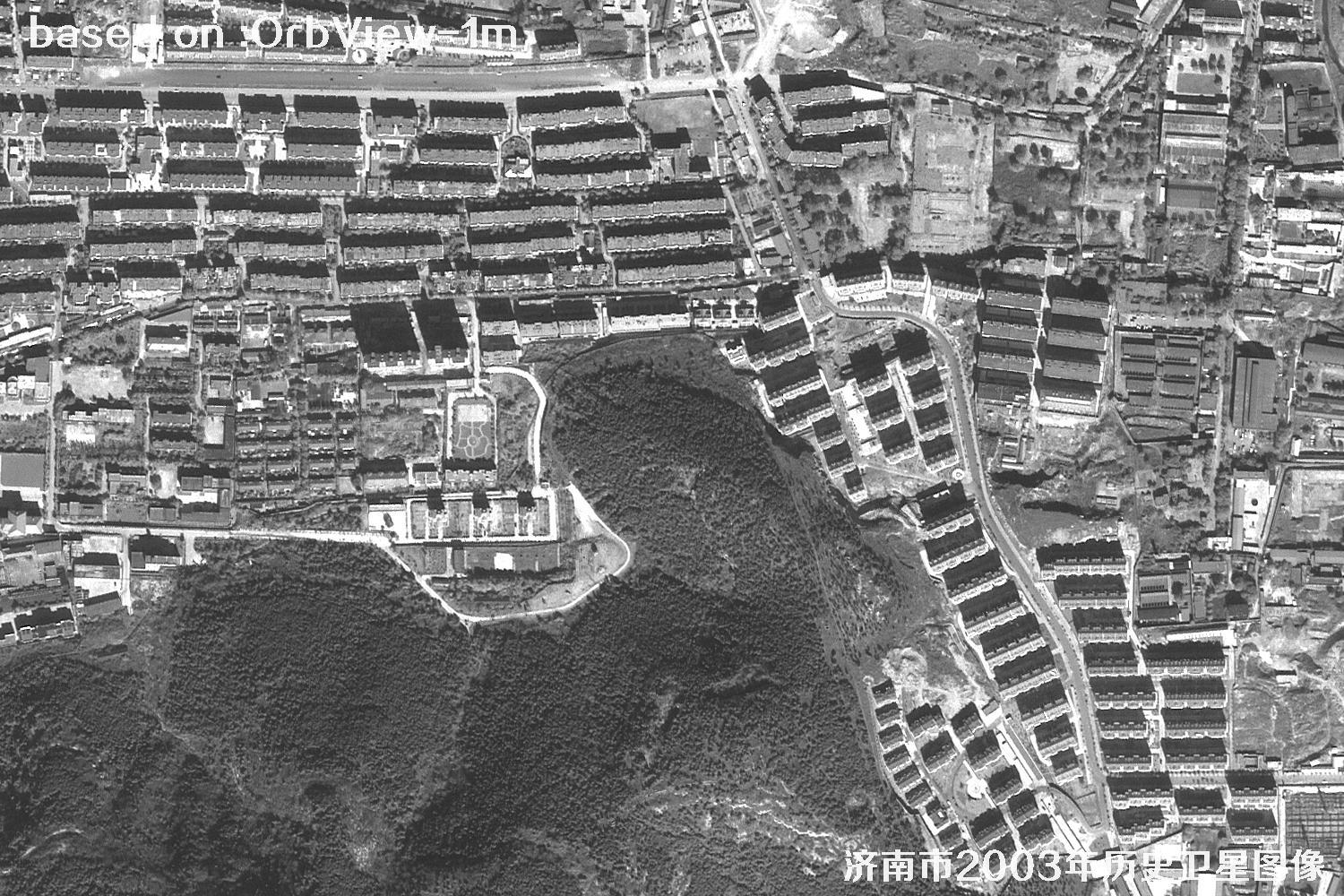 SAMPLE
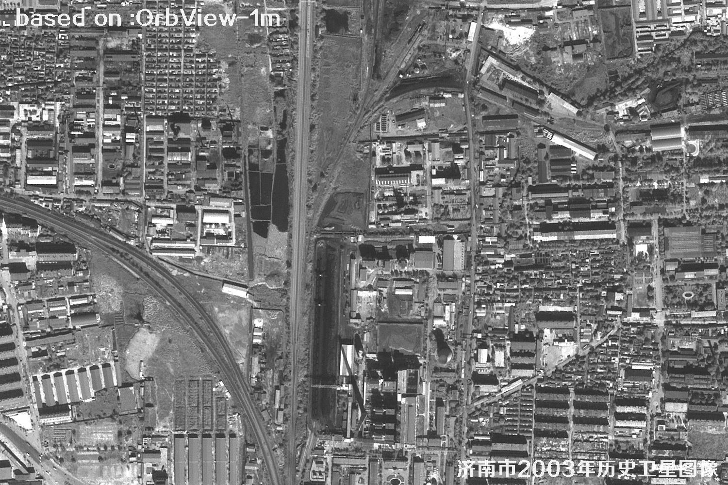 SAMPLE
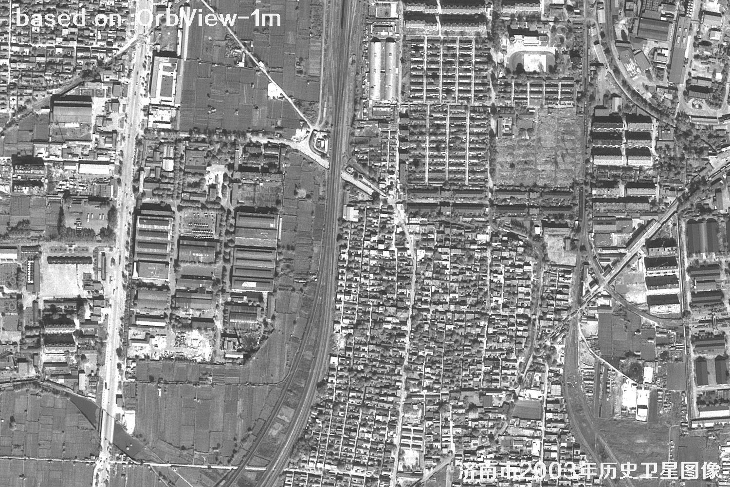 SAMPLE
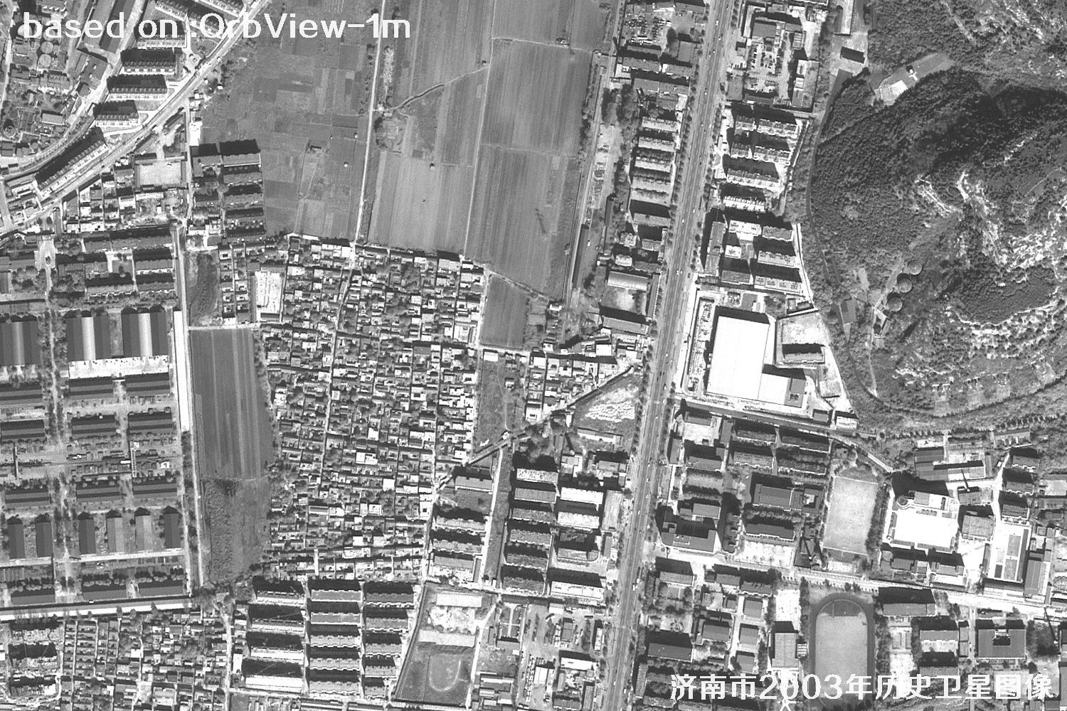 SAMPLE
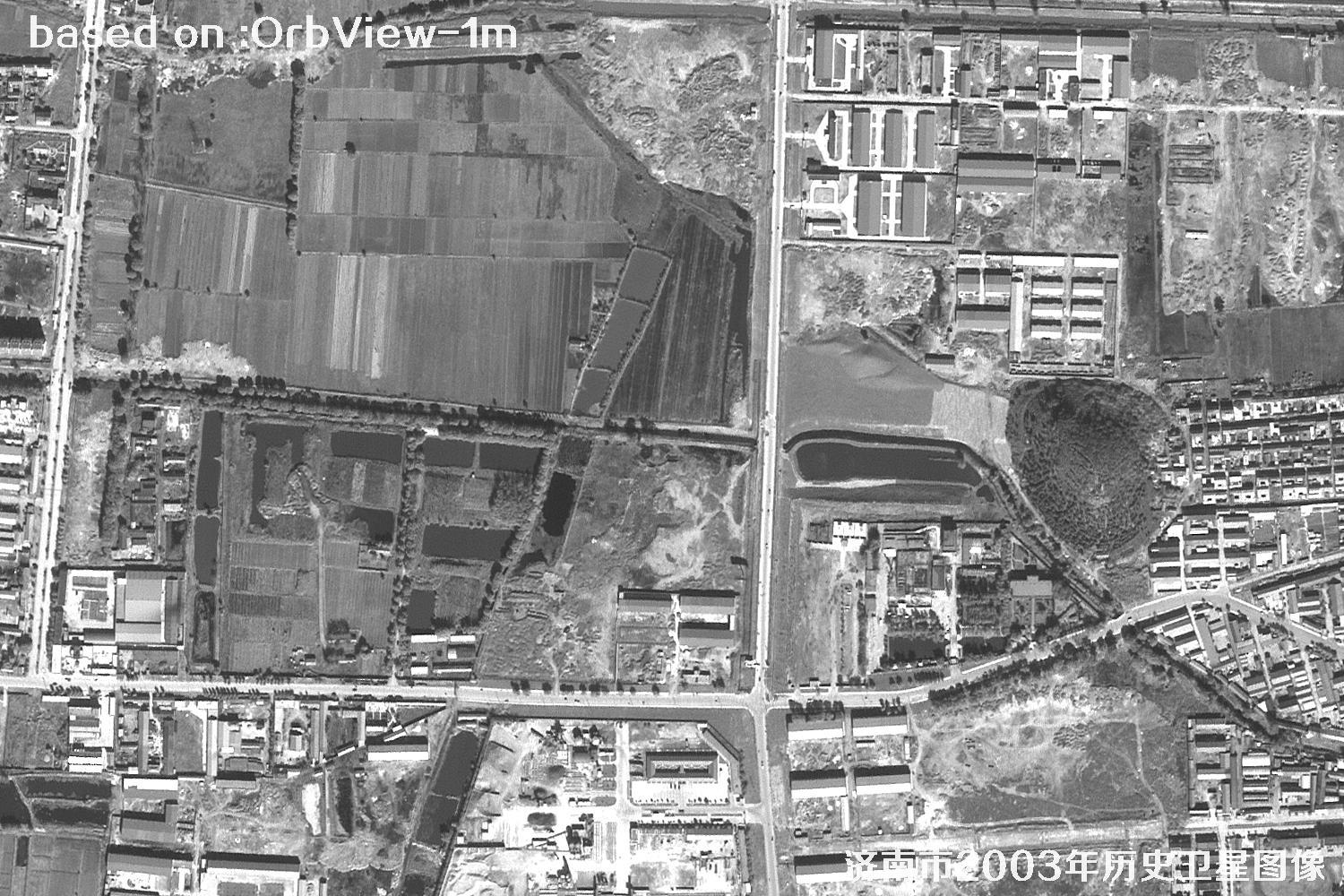 SAMPLE
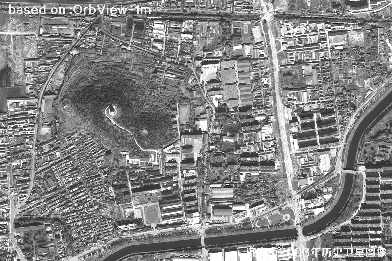 SAMPLE
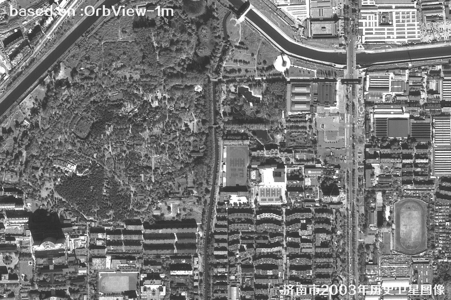 SAMPLE
Please note: satellite image clarity is affected by weather, season, viewing angle, target size and other factors, so the same place can look different at different times and under different conditions. The samples on this page are for illustration only; for a real project, please refer to your specific requirements, cloud cover and the archive imagery that is actually available.
Target Recognition in Satellite Imagery
The same satellite image can tell different stories depending on what you look for. Use the tabs below to see how 1 m resolution imagery performs in cropland, tree, vehicle and building recognition.
Cropland Recognition
Field boundaries, crop patterns and cultivation changes are easy to trace, supporting agricultural monitoring, farmland protection and land consolidation.
View recognition sample→Tree Recognition
Woodland edges, roadside green belts and vegetation cover can be observed at a glance, providing a basis for ecological assessment and landscape research.
View recognition sample→Vehicle Recognition
Vehicles on main roads and at traffic nodes can be identified, helping analyze traffic flow, parking distribution and road occupancy.
View recognition sample→Building Recognition
Building footprints, courtyard layouts and street textures can be extracted for urban renewal, property surveys and planning verification.
View recognition sample→