📊 Resolution & Satellite Resources
Satellite offerings are organized by commonly used spatial-resolution categories to compare imagery capabilities, applications and reference prices.
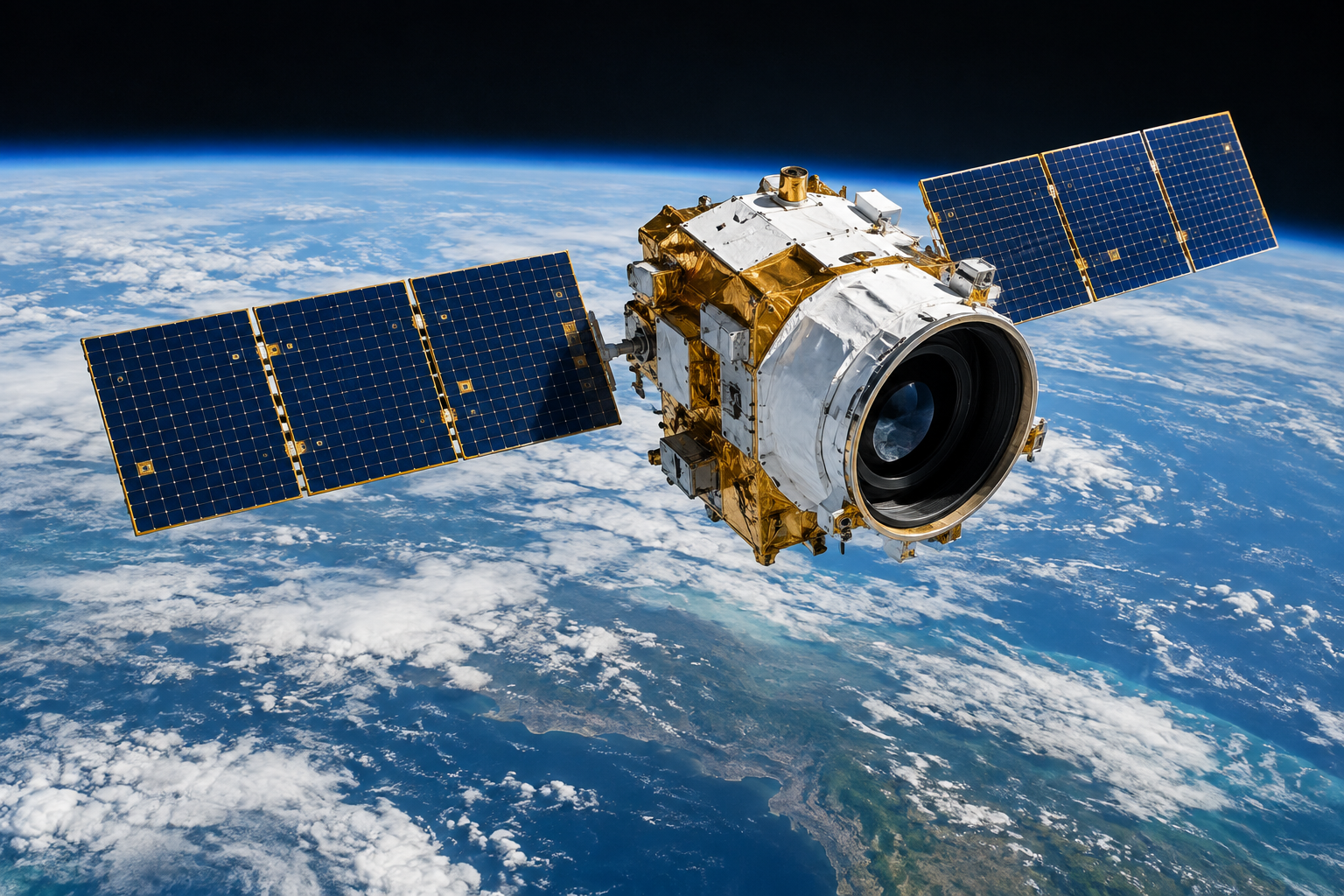
🔎 0.3 m Class Ultra-high-resolution commercial imagery

WorldView-3
Ultra-high-resolution commercial imagery for detailed feature identification, urban monitoring, engineering planning and high-precision basemaps.
¥600 / km²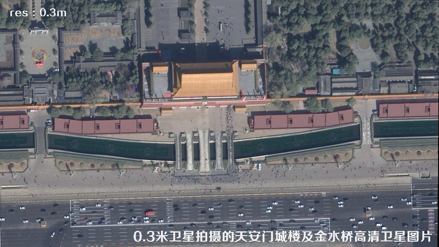
Pleiades-Neo
High spatial resolution and strong revisit capability for urban renewal, resource surveys, emergency monitoring and fine-scale management.
¥400 / km²
SuperView-Neo
China-developed high-resolution commercial imagery for multiple industries, balancing data-acquisition efficiency and image detail.
¥300 / km²🛰️ 0.5 m Class Listings in or near the 0.5 m class

Gaojing-1 (0.5 m)
China-developed sub-meter imagery for urban management, land use, basic surveying, planning support and change monitoring.
¥100 / km²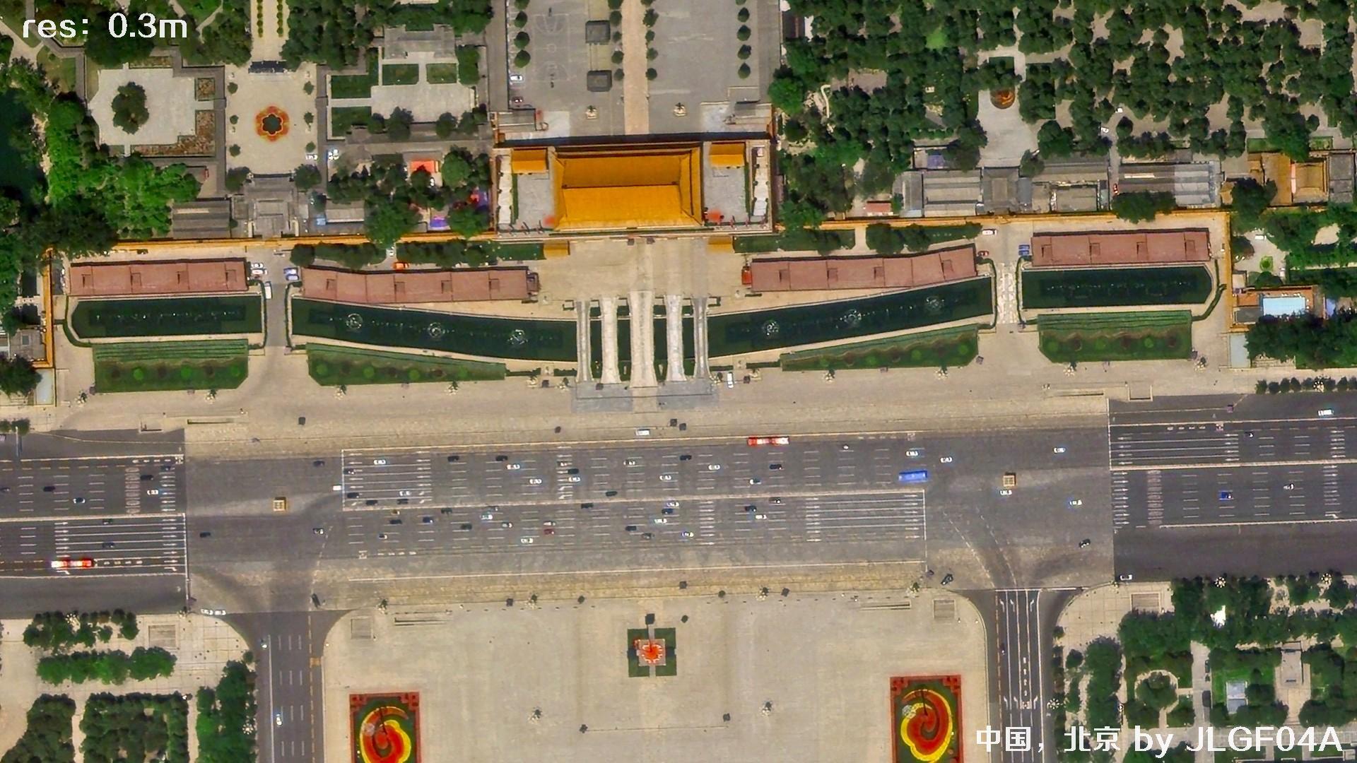
Jilin-1 (0.3–0.5 m)
Strong constellation imaging for rapid wide-area acquisition, agriculture monitoring, urban expansion analysis and site surveys.
¥100 / km²
DG & Airbus (0.4–0.6 m)
Established high-resolution commercial imagery for regional surveys, basemap updates, target identification and historical comparisons.
¥200 / km²🌐 Sub-meter 0.7–0.8 m satellite imagery
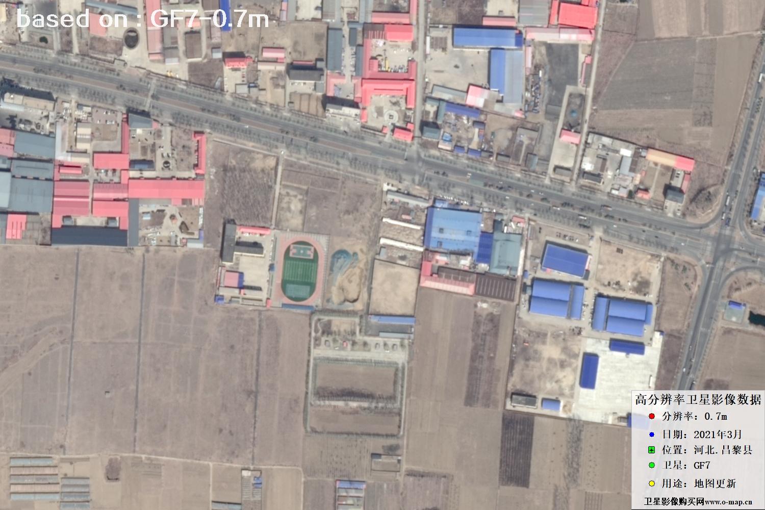
Gaofen-7 (0.7 m)
High-resolution Earth observation for land, agriculture, forestry, water resources and environmental applications.
¥50 / km²
Beijing-2 (0.8 m)
Flexible imagery coverage for regional mapping, resource monitoring, environmental assessment and thematic analysis.
¥50 / km²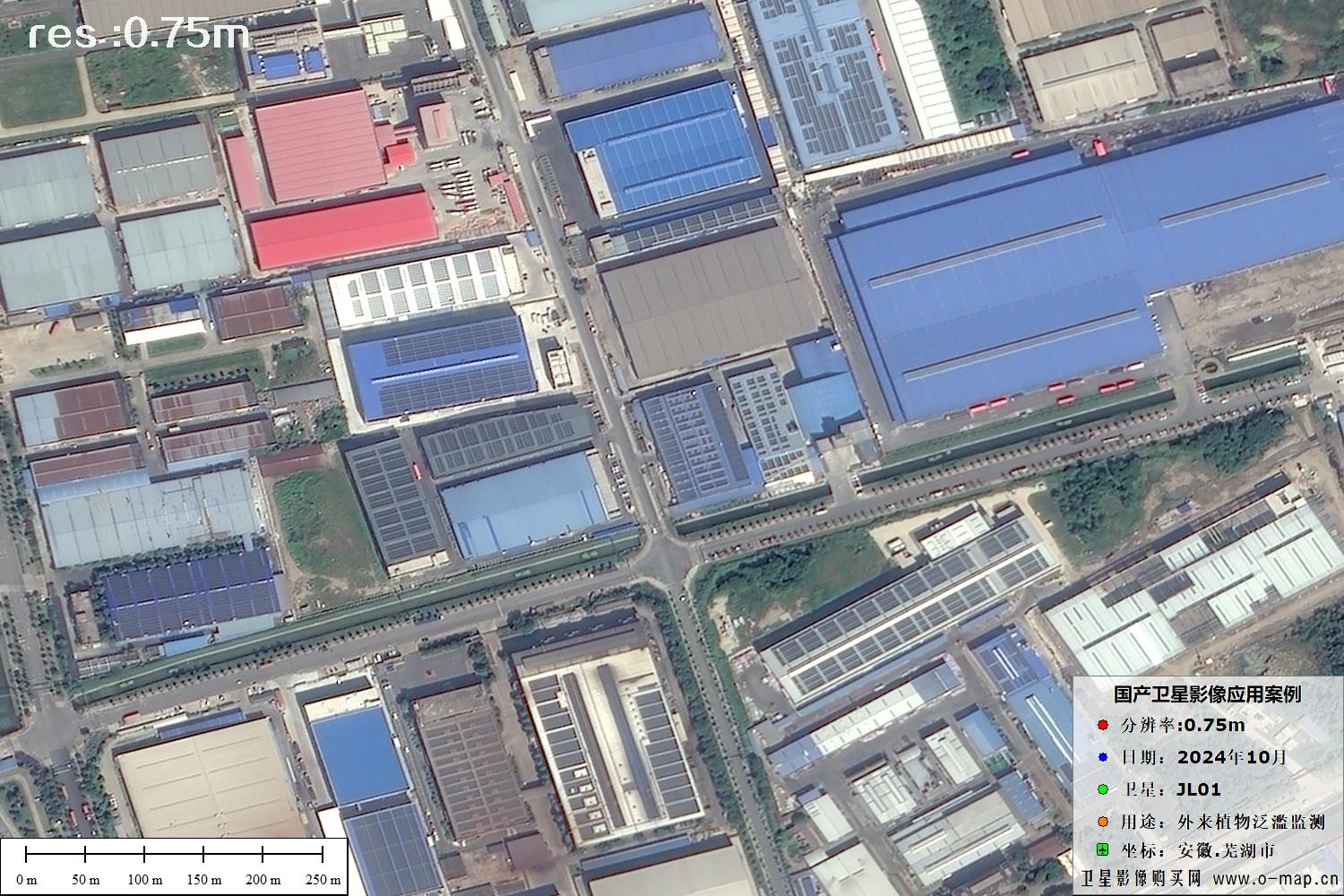
Jilin-1 (0.75 m)
Constellation observation for large-area acquisition, crop monitoring, urban growth analysis and project reconnaissance.
¥50 / km²🌍 1–10 m Regional and broader-area imagery
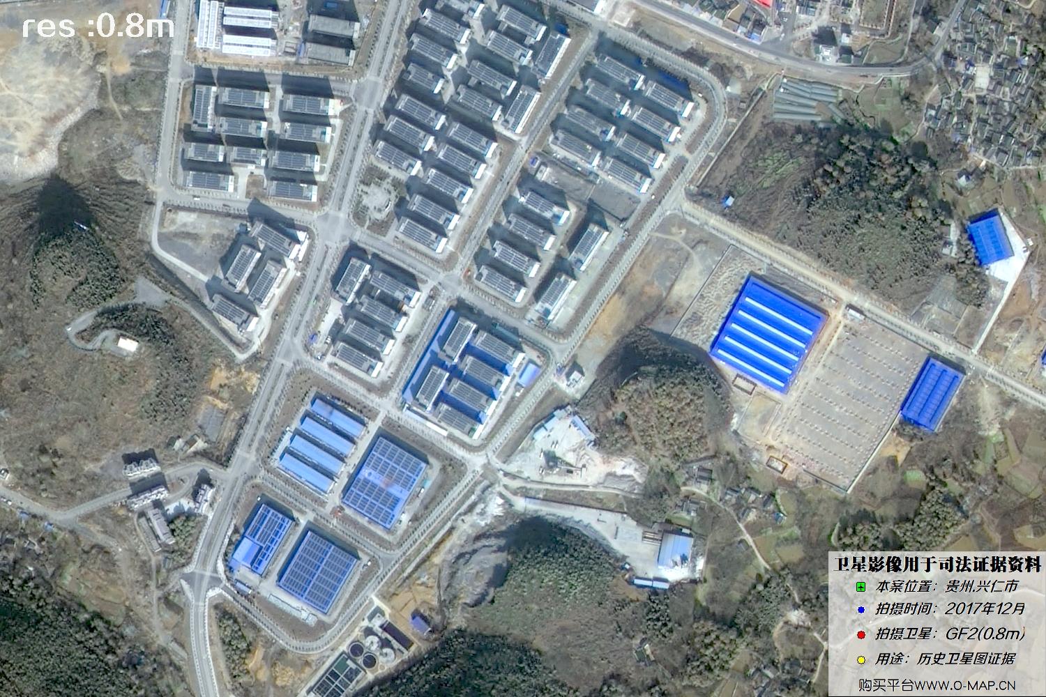
Gaofen-2 (1 m)
Suitable for medium-to-large-area land cover, resource surveys, forestry and agriculture monitoring, and regional image basemaps.
¥2,000 / scene
GF-1 (B/C/D) & GF-6 (2 m)
For land, agriculture, ecology, disaster and environmental monitoring; suited to larger-area remote-sensing projects.
¥2,000 / scene
Sentinel-2 (10 m)
Often used for spectral analysis over a target area and index calculations such as NDVI and NDWI.
¥2,000 / scene📈 Reference price overview
* Price bars compare the listed area-based rates; the per-scene price is shown separately and is not directly comparable by unit.
🖼️ Satellite imagery samples (12)
All 12 source samples are retained: 3 per row across 4 rows. Click any sample to enlarge; use ← / → keys or the on-screen arrows to browse. Press Esc to close.