
Tech Note: QuickBird Satellite Preprocessing and Production Workflow
0.6 m resolution
from a provider
GlobalMapper
corrected imagery
📌 Preprocessing Workflow at a Glance
📦 Prepare raw data
(purchase from provider)
🖥️ Set up GIS software
ENVI / ArcGIS / GlobalMapper
🔗 PAN + MS
fusion
🎨 Color
enhancement
📤 Export &
correction
✔ The 19 step-by-step screenshots below (first 15 shown) follow this sequence from raw data preparation to final corrected output.
🛰️ The QuickBird Satellite
QuickBird is a high-resolution commercial remote-sensing satellite operated by DigitalGlobe (now Maxar Technologies, USA). Launched on 18 October 2001, it delivers up to 0.61 m panchromatic and 2.44 m multispectral imagery, and was retired in 2015.

QuickBird Satellite Preprocessing and Production Process
💡 Gallery shows the first 15 of 19 step images (3 per row × 5 rows). Click any image to enlarge; use ← → arrow keys or on-screen buttons for slideshow. Press Esc or ✕ to close. Original caption style preserved below.
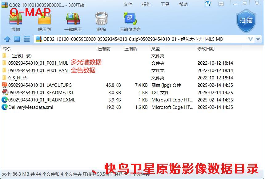 🔍 click
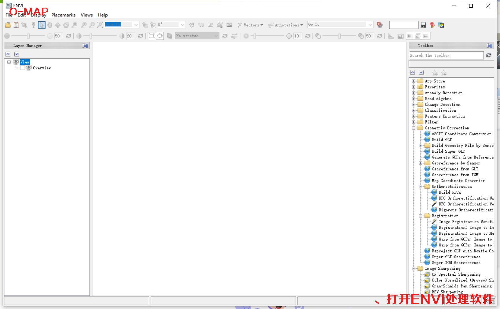 🔍 click
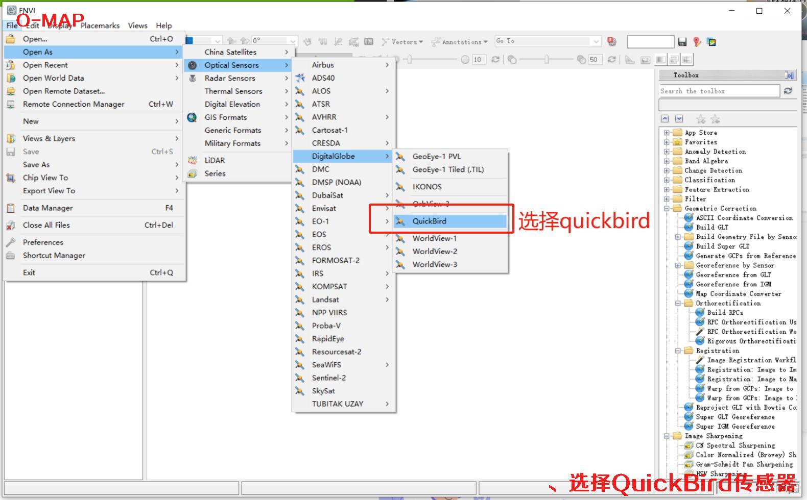 🔍 click
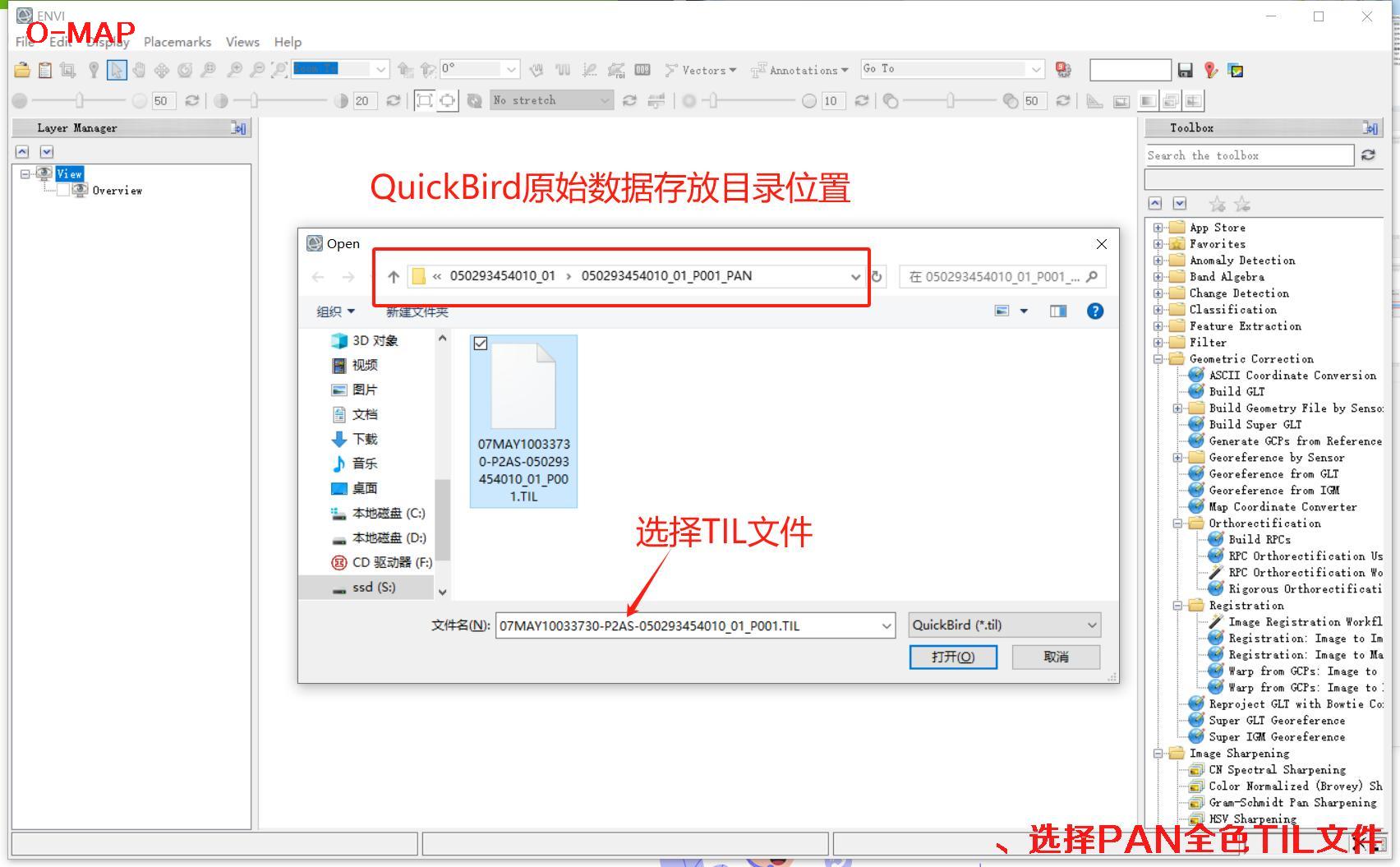 🔍 click
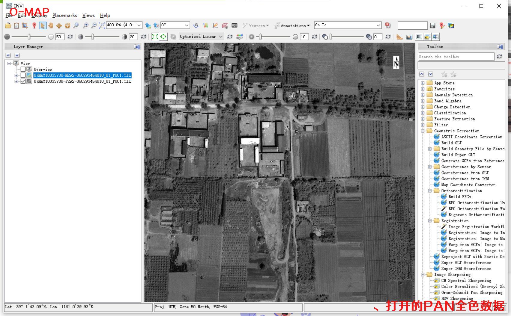 🔍 click
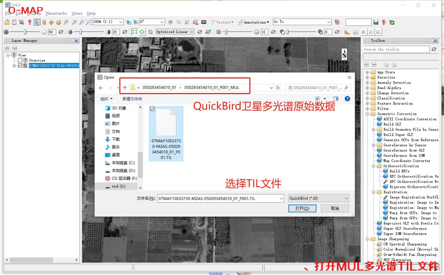 🔍 click
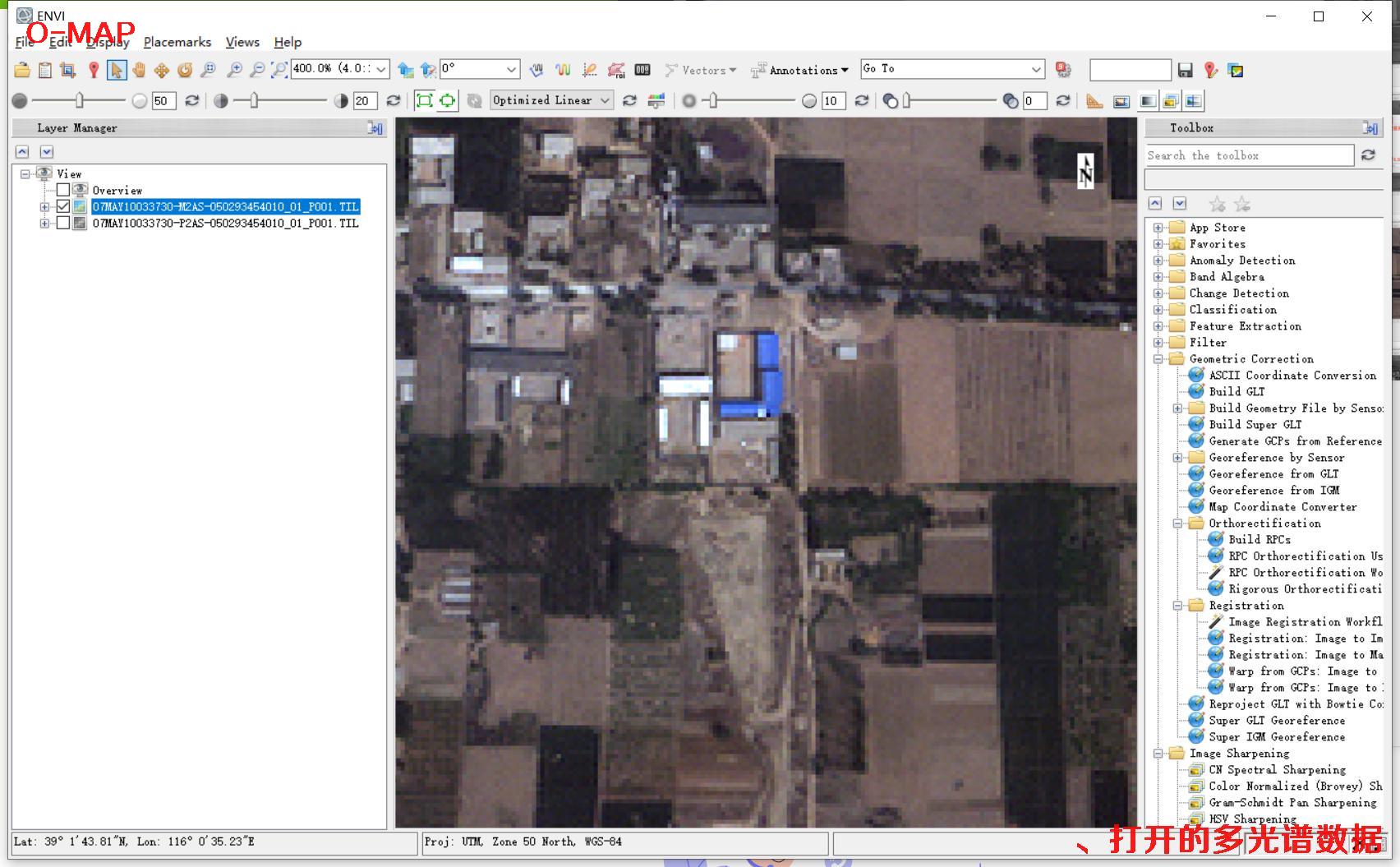 🔍 click
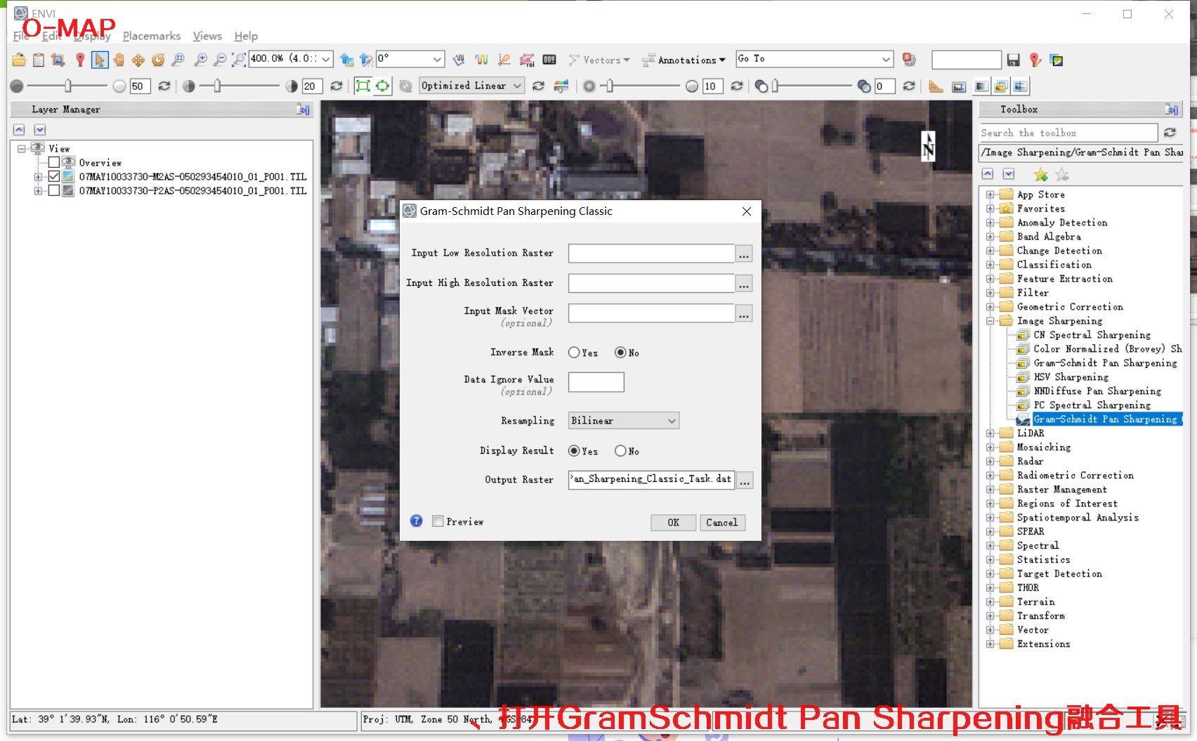 🔍 click
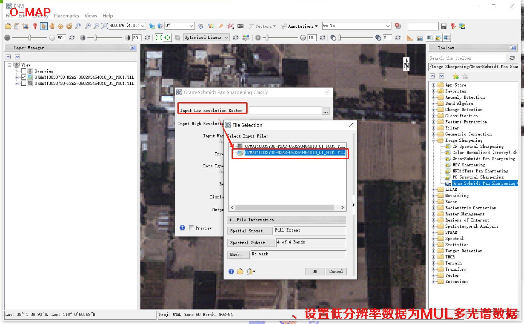 🔍 click
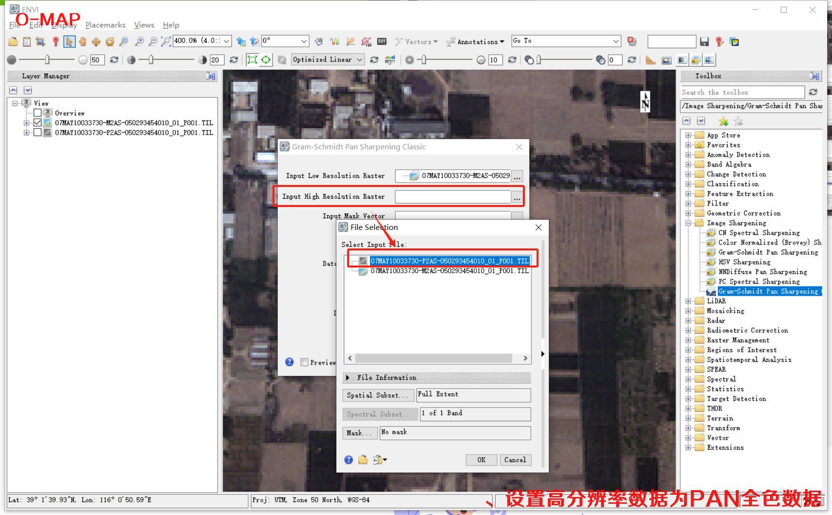 🔍 click
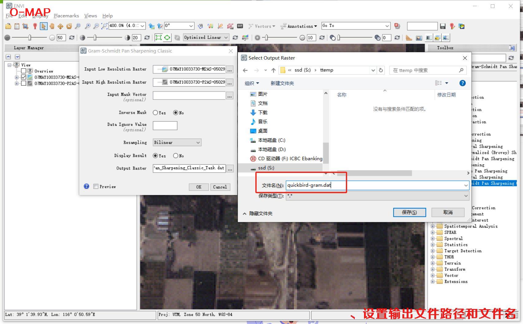 🔍 click
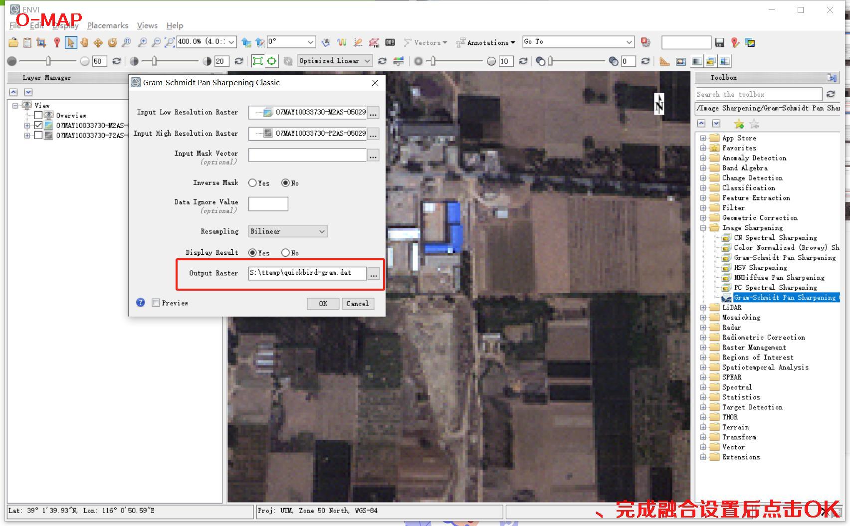 🔍 click
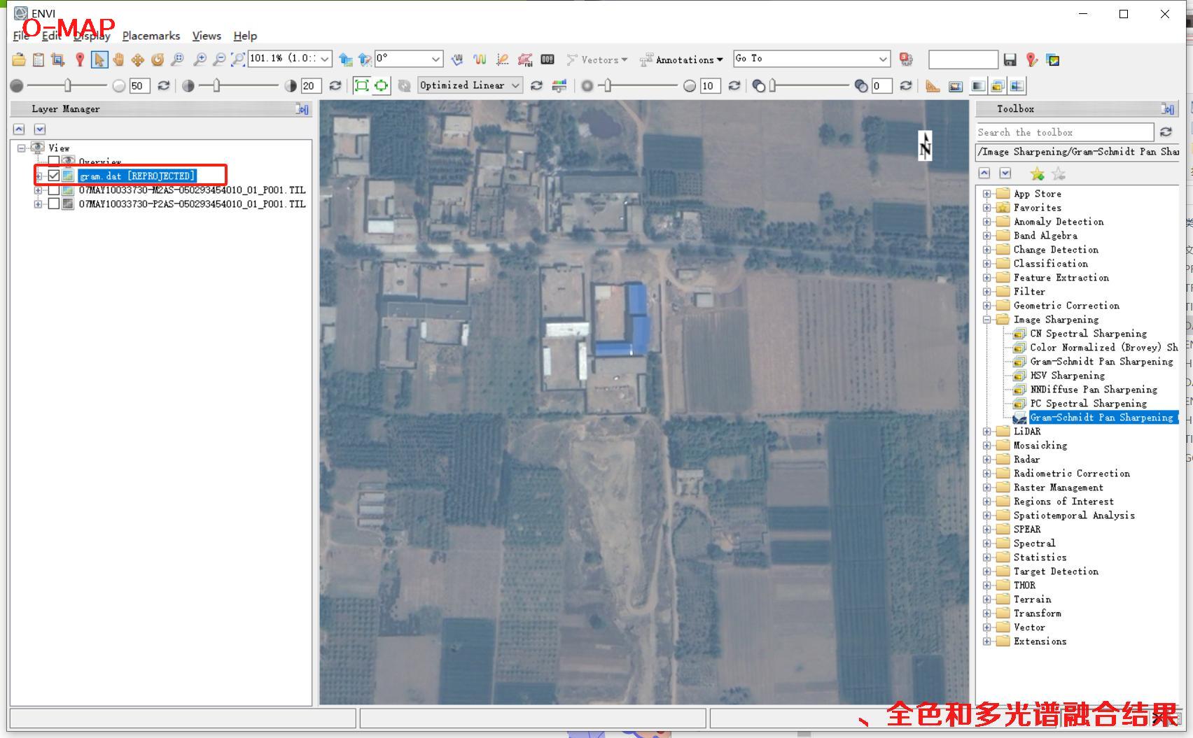 🔍 click
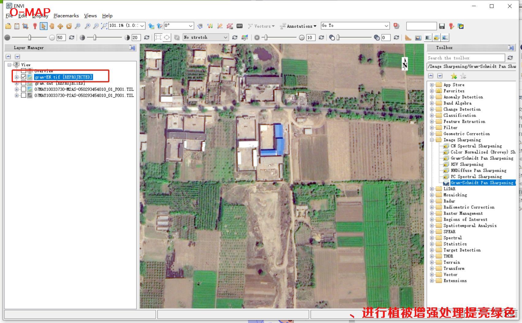 🔍 click
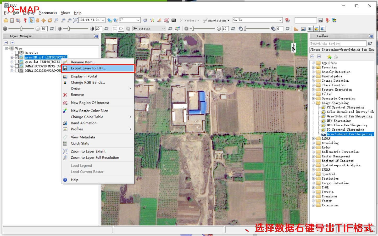 🔍 click
Buy QuickBird Satellite Imagery Now
🏢 About Beijing OMap Geographic Information Technology Co., Ltd.
Beijing OMap Geographic Information Technology Co., Ltd. (“Beijing OMap”) is a well-known satellite map service provider in China, headquartered in Chaoyang District, Beijing. OMap mainly provides 1–3 m resolution Chinese remote-sensing imagery data, including historical image maps taken from the 1960s to the 1980s, as well as Chinese Gaofen (High-Resolution) series satellite imagery captured after 2015.
Satellite imagery is licensed by area (scene). Chinese satellite image maps typically cost 1–30 yuan per km², averaging about 500–3,000 yuan per image; final pricing depends on area, resolution, acquisition date and processing. Any individual, company or institution may purchase it, with a formal procurement contract and invoice, and delivery normally within 5–10 working days, with expedited service available as fast as the same day.
To inquire about or purchase satellite imagery, please contact our staff or leave a message online. Use Online Search to explore more satellite projects and samples.
©2021-2026 北京亿景图地理信息技术有限公司 版权所有.京ICP备2021039670号-1