 Sample
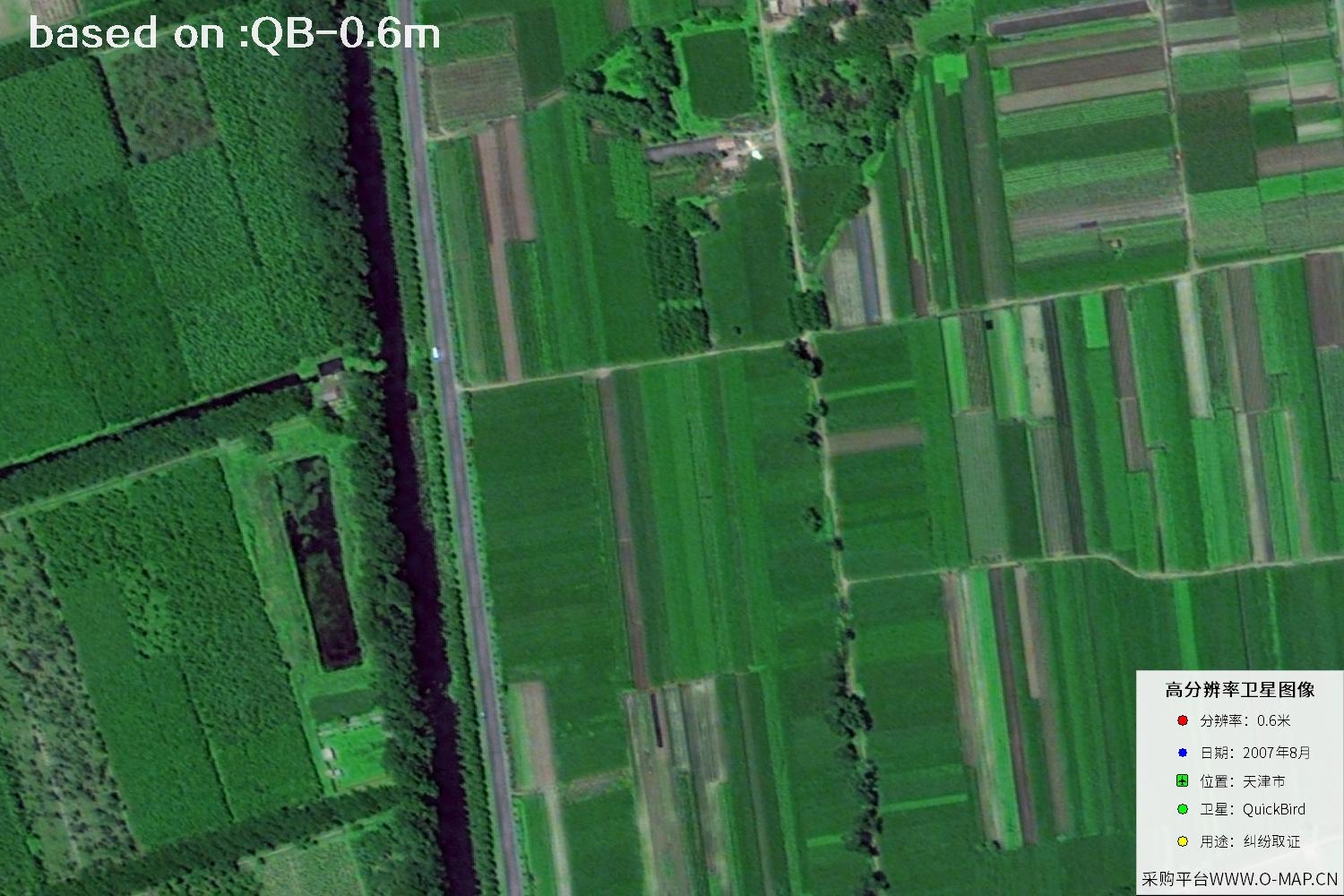
Tianjin QuickBird Satellite Image01 / 48
Go back to 2007 and browse the urban texture of Tianjin, China from a high-resolution satellite viewpoint. Key QuickBird satellite information and 48 sample images are collected here, ideal for historical imagery browsing and regional change reference.

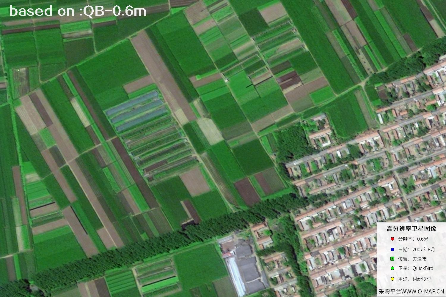
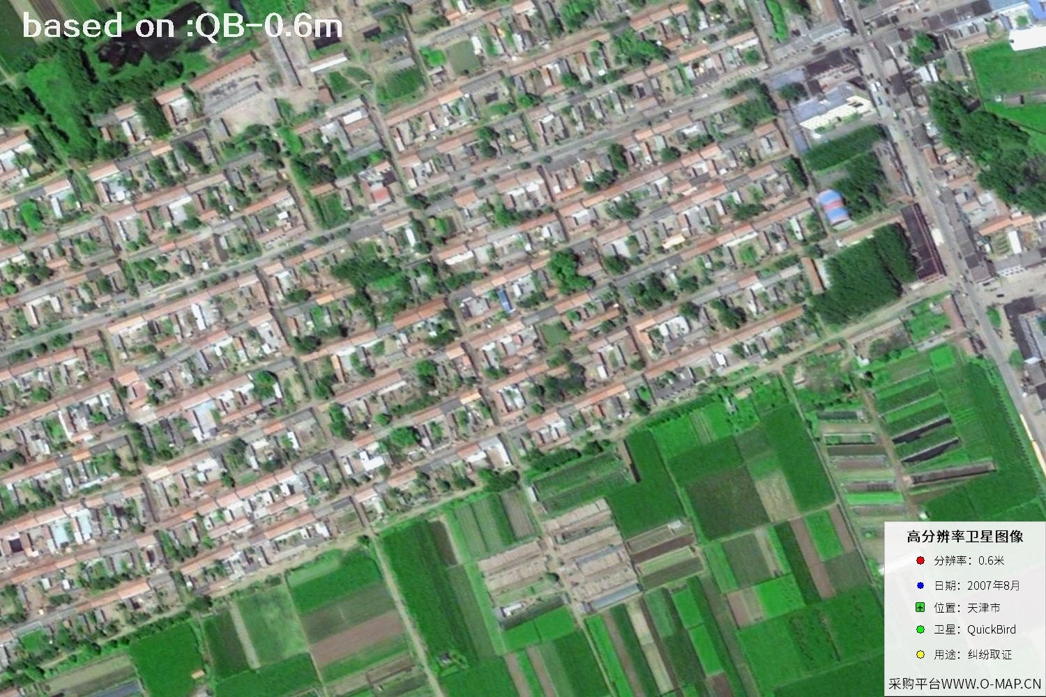
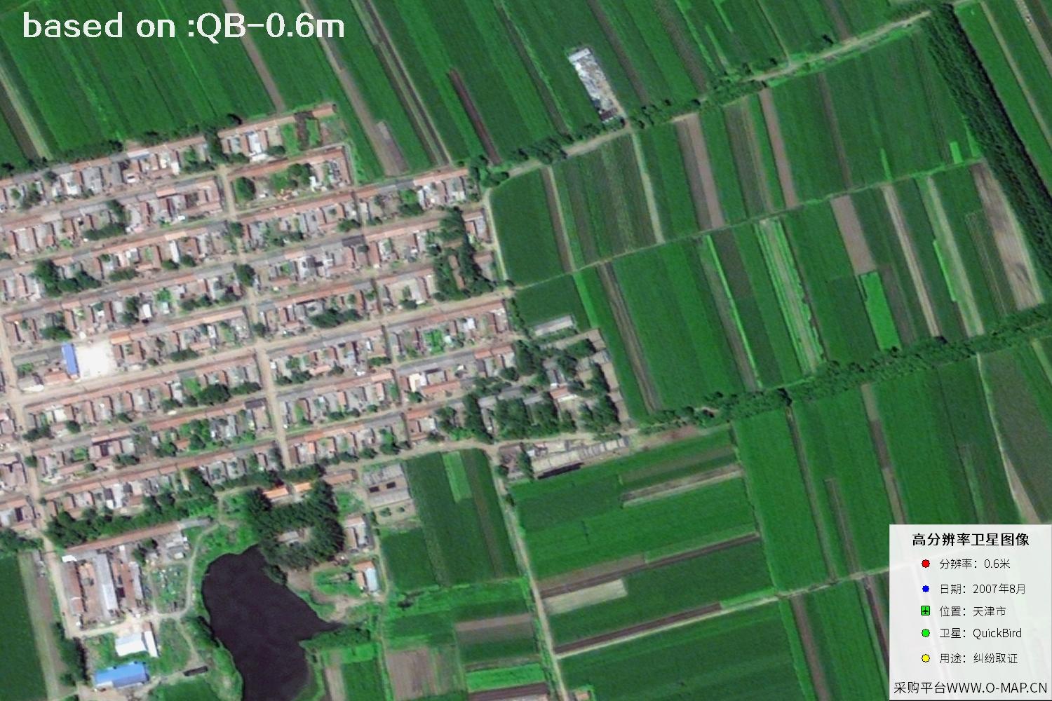
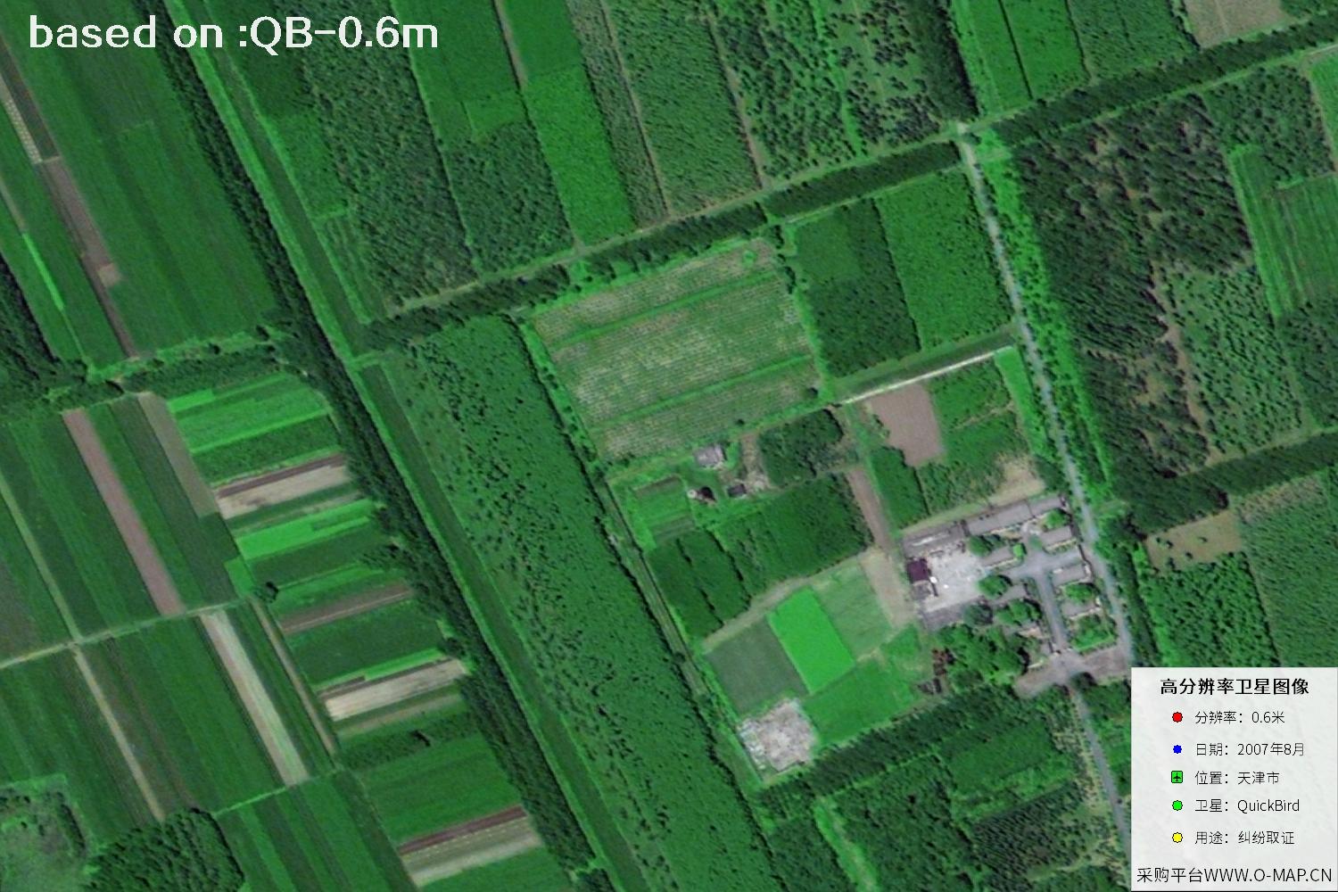
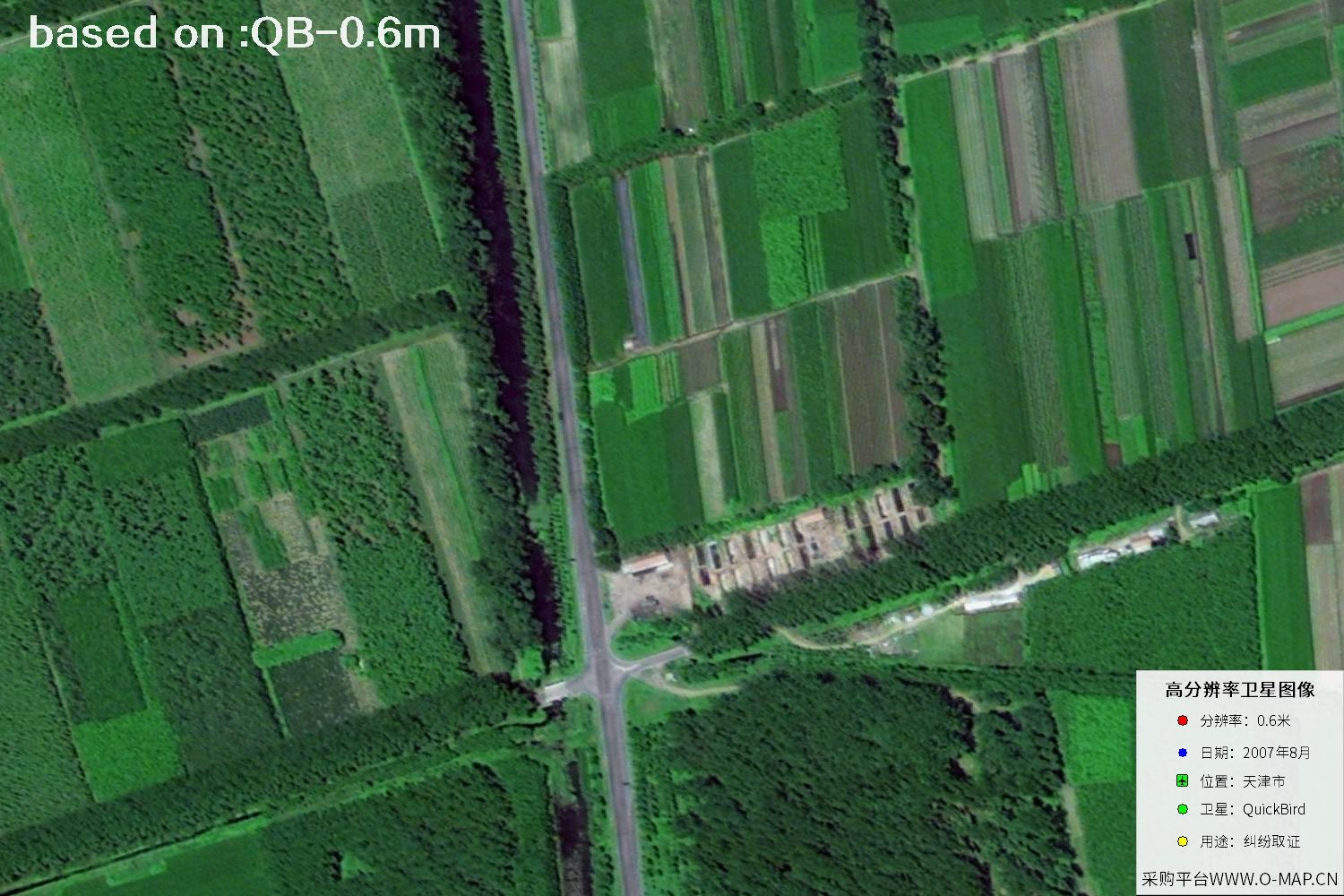
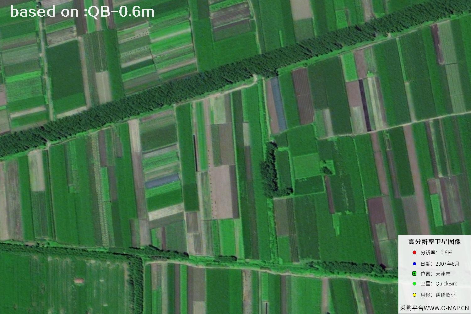
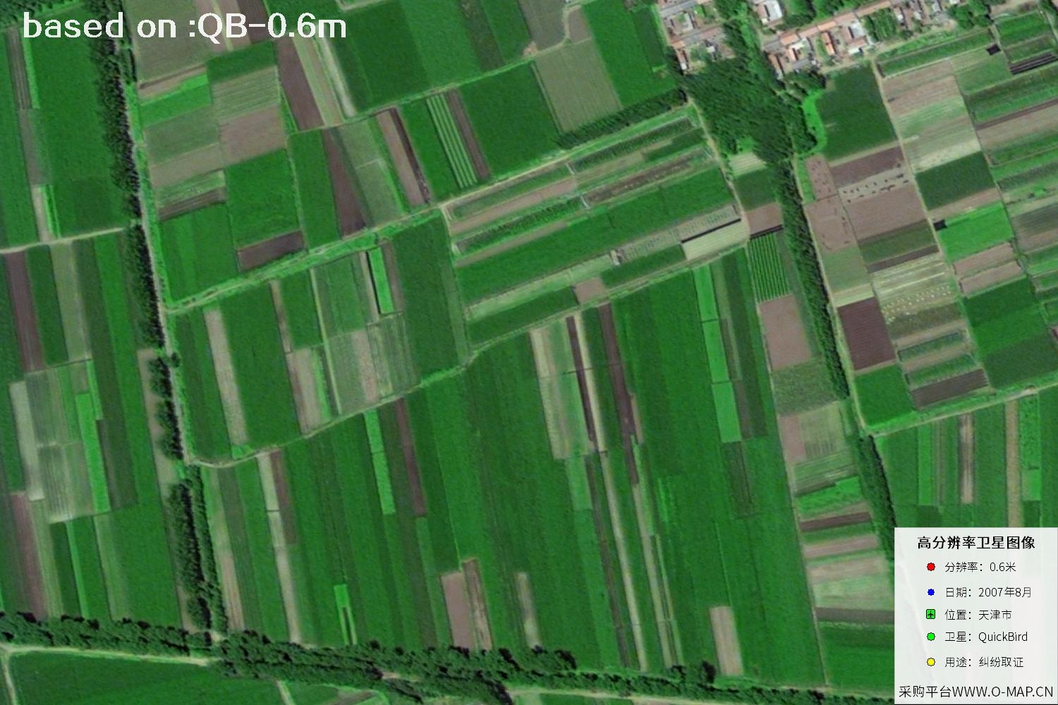
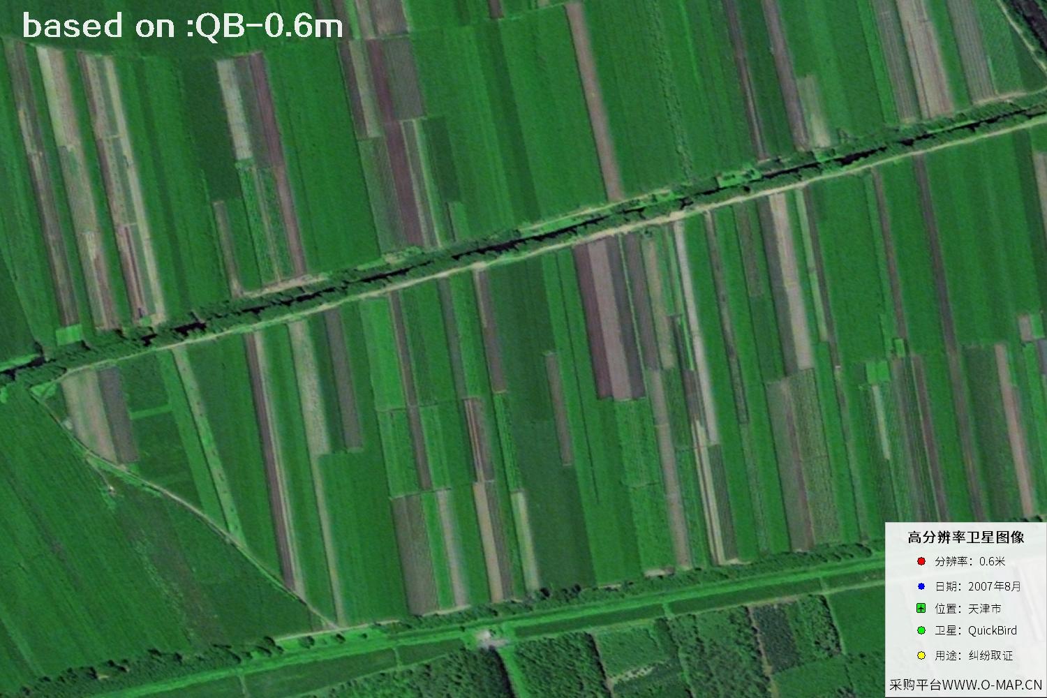
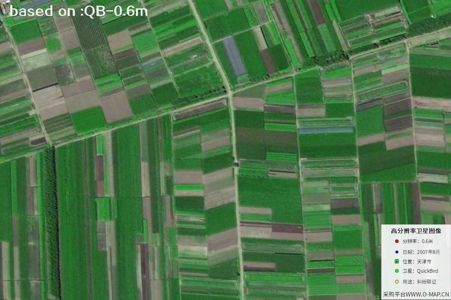
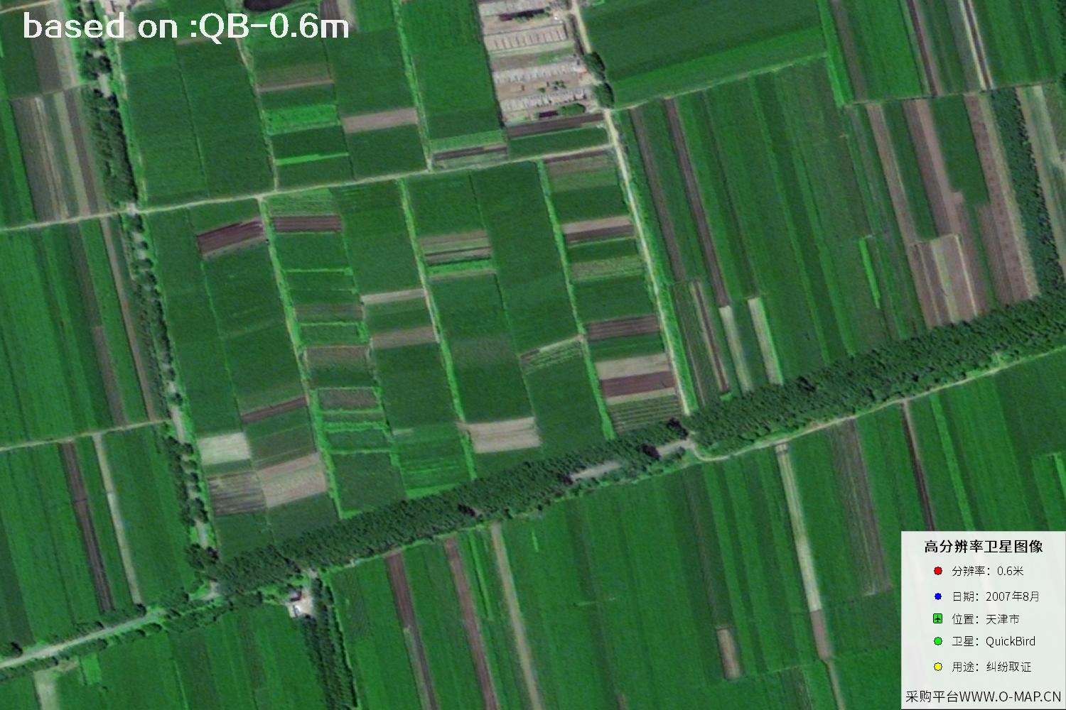
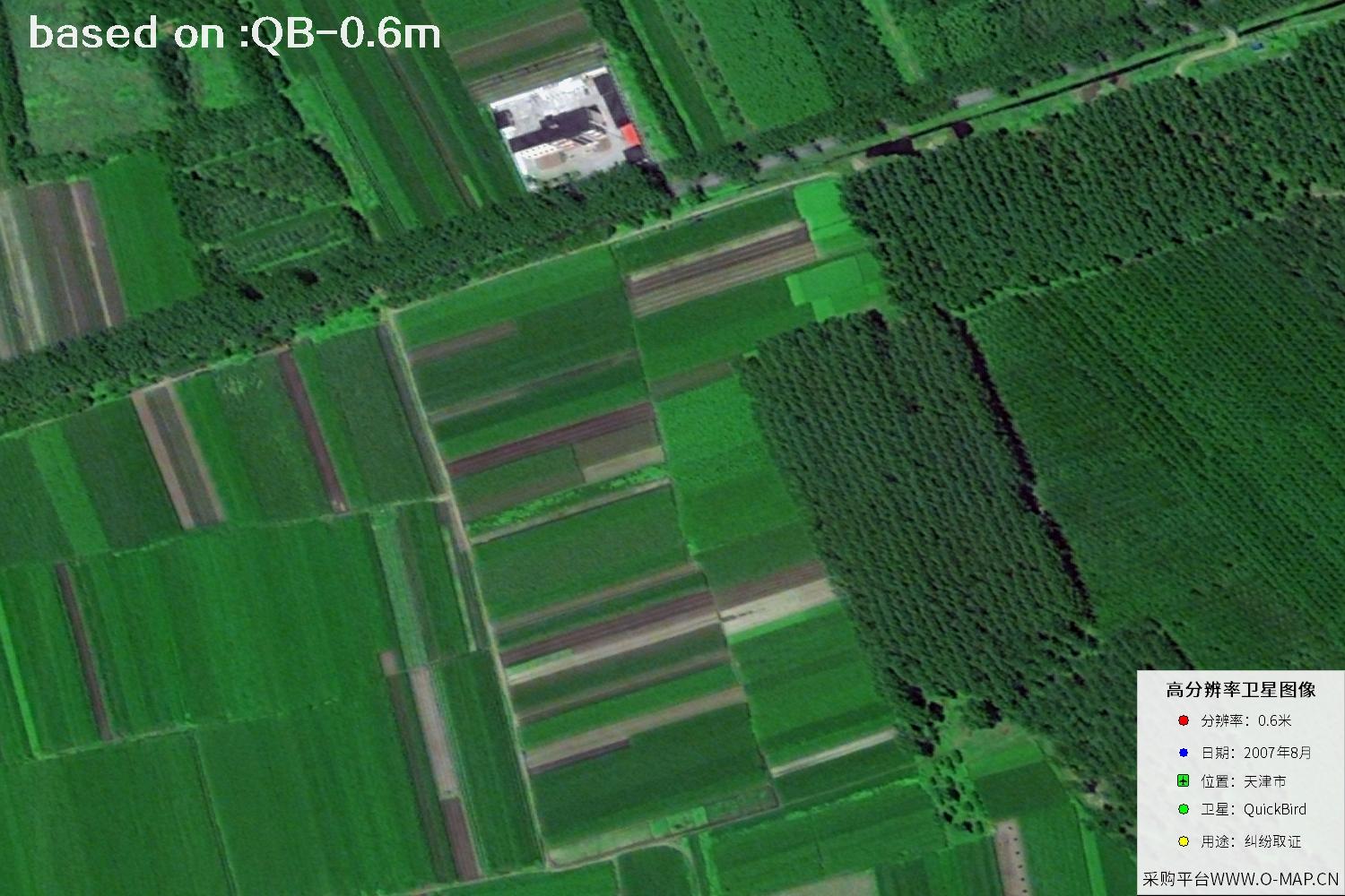
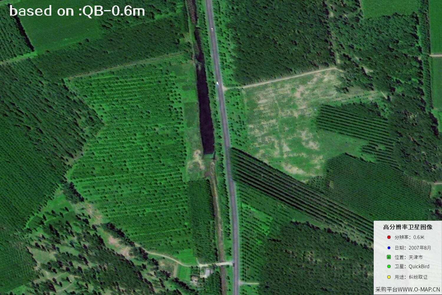
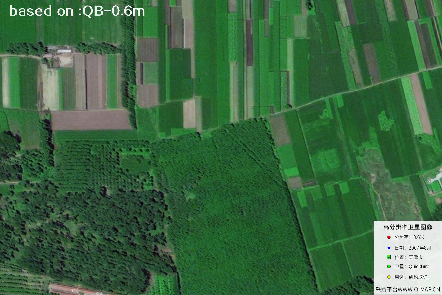
Tianjin is an important port city in northern China and a transport and industrial center connecting North China with the Bohai Rim region. Around 2007, urban construction in Tianjin continued to advance, and the development of both the central urban area and the Binhai New Area drew attention; the Haihe River banks, road network, residential districts and industrial land together outlined the city's spatial form. With historical satellite imagery, we can observe the surface layout of that time from a bird's-eye view, providing intuitive reference for reviewing urban appearance, comparing regional changes and presenting materials. It should be noted that a single image shows the surface state on a specific date, and identification of specific features should still be judged comprehensively with location, season and other materials. The following images are 0.6 m resolution satellite images of Tianjin, China taken by the QuickBird satellite in August 2007.
QuickBird is a high-resolution commercial remote-sensing satellite capable of acquiring surface imagery rich in detail. The Tianjin imagery from August 2007 can serve as historical material for browsing urban landscapes, assisting feature interpretation and comparing imagery from different periods. In actual use, please verify product information against acquisition time, coverage and your specific purpose.
Selected QuickBird historical satellite samples. The first 15 of 48 are shown; click any thumbnail to view it full screen and switch between images.
Sample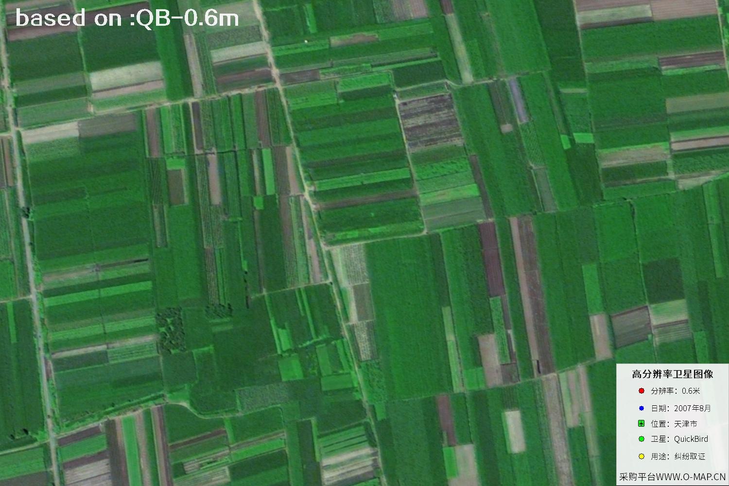 Sample
 Sample
 Sample
 Sample
 Sample
 Sample
 Sample
 Sample
 Sample
 Sample
 Sample
 Sample
 Sample
 Sample
Choose a type of feature you are interested in to view the corresponding identification introduction.