Beijing OMap Geographic Information Technology Co., Ltd. β€” Satellite Imagery Data ServiceEN / Learning Center

Beijing OMap Geographic Information Technology Co., Ltd.Satellite imagery resources Β· Resolution and image interpretation

🧩 What Is Satellite Image Resolution?

A simple guide to pixel size, visible detail and choosing the right imagery resolution.
One of the most frequently used terms in satellite remote sensing is resolution. In simple terms, spatial resolution describes the ground area represented by one image pixel: pixel size = ground length Γ— ground width. The smaller the pixel dimensions, the finer the detail the image can represent.
πŸ”²
Resolution = pixel footprintFor example, 0.5 m pixels represent about 0.5 m Γ— 0.5 m on the ground.
πŸ”
Smaller number = finer detailSmaller pixels can show more spatial detail, subject to image quality and conditions.
πŸ’°
Resolution affects priceFiner imagery is generally more expensive than broader-area, lower-resolution data.
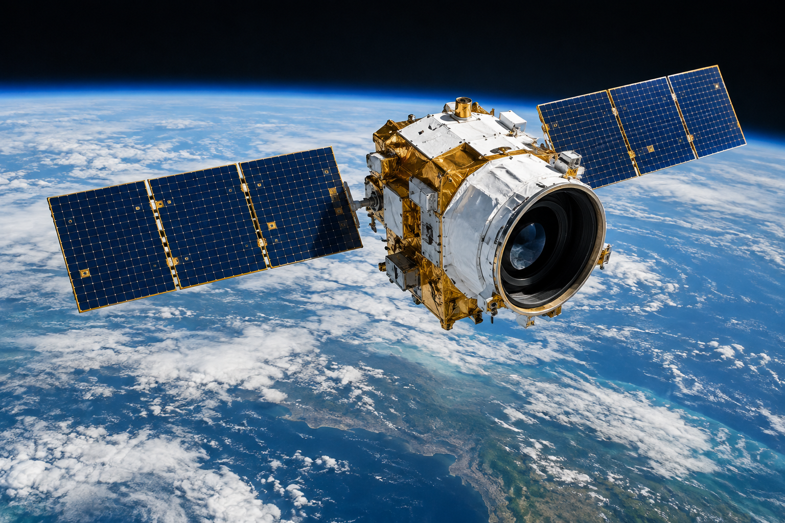
Commercial optical Earth-observation satellite with telescope payload and solar arrays above Earth
πŸ›°οΈ An optical Earth-observation satellite in orbit (illustration). The spacecraft carries imaging instruments; resolution describes the ground footprint represented by each image pixel.

πŸ“ Visual Resolution Comparison

For the same scene, different resolutions can reveal very different levels of detail. These schematic 3 Γ— 3 pixel grids illustrate the relative ground footprint represented by a pixel at three example resolutions.

πŸ”¬ 0.3 m resolution

Each pixel: 0.3 m Γ— 0.3 m

Smallest illustrative pixel footprint Β· most detail

πŸ”­ 0.5 m resolution

Each pixel: 0.5 m Γ— 0.5 m

Intermediate pixel footprint

🌍 1.0 m resolution

Each pixel: 1.0 m Γ— 1.0 m

Largest illustrative pixel footprint Β· broader coverage
⬆️ Each grid cell represents one pixel. Smaller cell β†’ smaller pixel footprint β†’ finer image detail. Diagram is illustrative and not to scale.

πŸ”¬ 0.3 m Resolution Β· Finest Detail

0.3 m Γ— 0.3 m per pixel

At 0.3 m resolution, each pixel represents a ground area of about 0.3 m Γ— 0.3 m. The source describes this as being able to resolve objects around 0.3 m in size; actual visibility depends on contrast, sensor, atmosphere and image conditions.

πŸ“ Pixel-size analogy: approximately the size of a notebook.

πŸ›°οΈ Example satellites: πŸ‡ΊπŸ‡Έ WorldView-3 Β· πŸ‡«πŸ‡· Pleiades Neo
πŸ’‘ The source notes that WorldView-4, also rated at 0.3 m, is no longer operational due to a mechanical failure. It describes WorldView-3 and the newly launched Pleiades Neo as the remaining commercial 0.3 m satellites then in orbit; satellite availability changes over time.

πŸ”­ 0.5 m Resolution Β· High Detail

0.5 m Γ— 0.5 m per pixel

Compared with 0.3 m imagery, 0.5 m data generally covers more area at a lower cost while retaining substantial detail. It is a widely used resolution class in commercial remote sensing.

πŸ“ Pixel-size analogy: approximately the size of a chair.

πŸ›°οΈ Example satellites: πŸ‡ΊπŸ‡Έ QuickBird Β· πŸ‡ΊπŸ‡Έ WorldView-1/2 Β· πŸ‡ΊπŸ‡Έ GeoEye Β· πŸ‡«πŸ‡· Pleiades Β· πŸ‡¨πŸ‡³ Gaojing-1 Β· πŸ‡¨πŸ‡³ Jilin-1 Β· πŸ‡°πŸ‡· Kompsat-3A

🌍 1 m Resolution · Standard Detail

1 m Γ— 1 m per pixel

1 m imagery offers broad coverage at a relatively lower price. Typical applications include large-area mapping, urban planning and agricultural monitoring.

πŸ“ Pixel-size analogy: approximately the size of a table.

πŸ›°οΈ Example satellites: πŸ‡ΊπŸ‡Έ IKONOS Β· πŸ‡¨πŸ‡³ Gaofen-2 Β· πŸ‡¨πŸ‡³ Jilin-1 Β· πŸ‡¨πŸ‡³ Beijing-2 Β· πŸ‡°πŸ‡· Kompsat-2/3

πŸ’° How Resolution Relates to Price

Satellite imagery pricing generally follows this pattern:

0.3 m
Highest price
0.5 m
Strong value
1.0 m
Lower cost

* Qualitative illustration only; no specific prices are quoted here. Actual pricing depends on the product and project requirements.

πŸ’‘ Choosing a resolution: For projects requiring fine detail, consider 0.3 m or 0.5 m imagery. For broad-area coverage and better value, 1 m imagery may be a more suitable choice. Match the resolution to the project's actual requirements.

For coverage checks and purchasing high-resolution satellite imagery, contact the Beijing OMap team or browse more cases through Online Search.