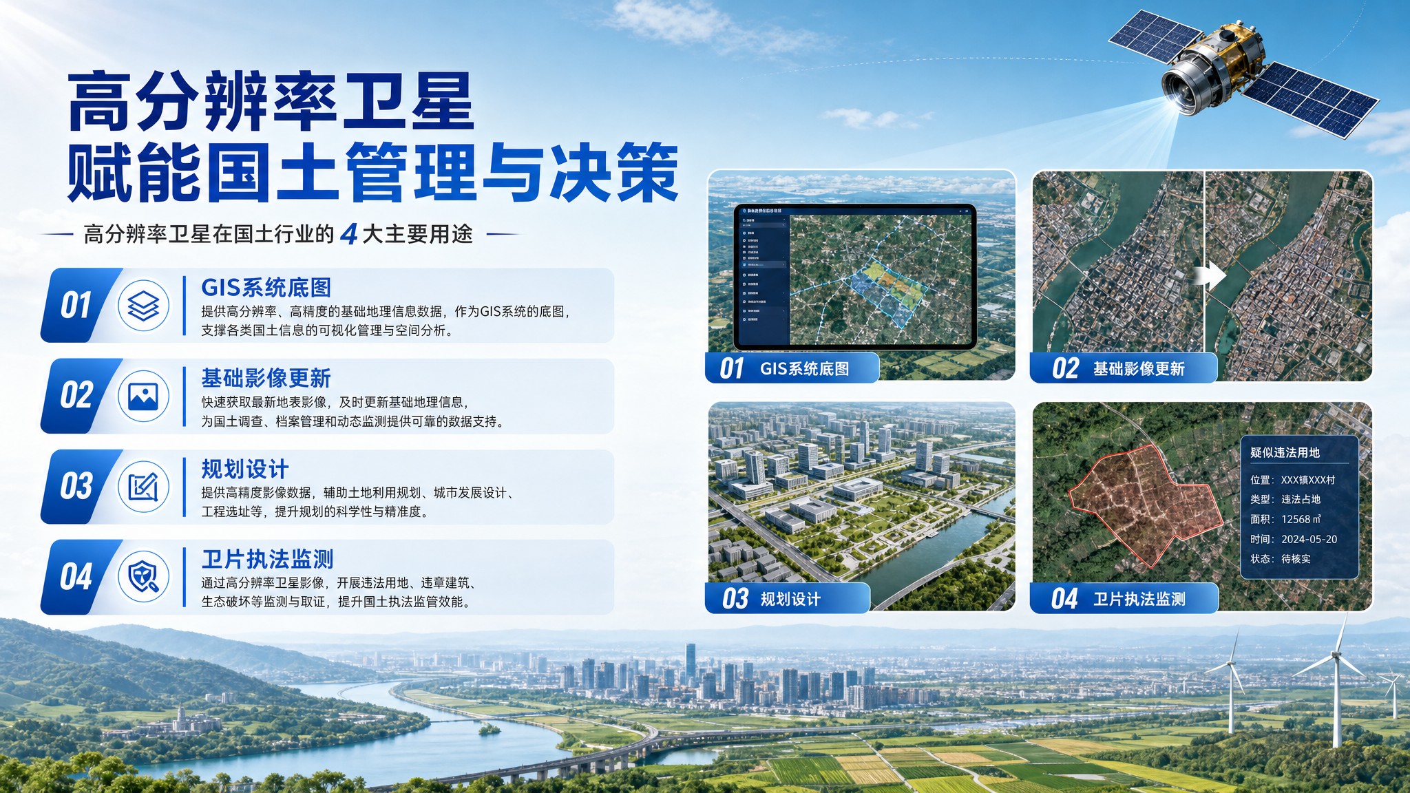
🗺️🗺️1. GIS Base Map
Every GIS needs an accurate, up-to-date base map. With 0.3–2 m resolution, high-resolution imagery offers sharp texture and precise geolocation, ideal as the base map for land spatial platforms. It unifies coordinates and currency, supporting the “One Map” of natural resources — mountains, water, forest, farmland, houses and mines overlaid, queried and counted together — making territorial governance far more visual and efficient, about 150 words of value in one map.
🔄🔄2. Base Imagery Updating
Base imagery hates going out of date. High-resolution satellites revisit frequently and cover widely, refreshing key areas quarterly or even monthly to catch new construction and land change in time. Compared with aerial photography, it is cheaper and faster with little fieldwork, keeping the fundamental geographic database current and providing a fresh, reliable unified benchmark for cadastral registration, land surveys and annual change detection.
📐📐3. Planning & Design
From territorial master plans and village plans to road routing and park design, planners first need true, detailed现状 data. HD satellite images clearly show buildings, roads, farmland, rivers and terrain, enabling desktop surveys, red-line overlaying and option comparison. Combined with DEM and ownership data, they also support earthwork estimation, sunlight and landscape analysis, making plans more scientific and far easier to implement on the ground.
🛡️🛡️4. Satellite Law-Enforcement Monitoring
Satellite monitoring is the “eye in the sky” for supervision. By comparing multi-temporal images, the system auto-extracts suspected illegal occupation, unauthorized construction, illegal mining and farmland conversion parcels, then dispatches them for verification. From national to county level, it improves objectivity and timeliness, deters build-before-approval behavior, and powerfully guards the farmland red line and intensive, economical land use.