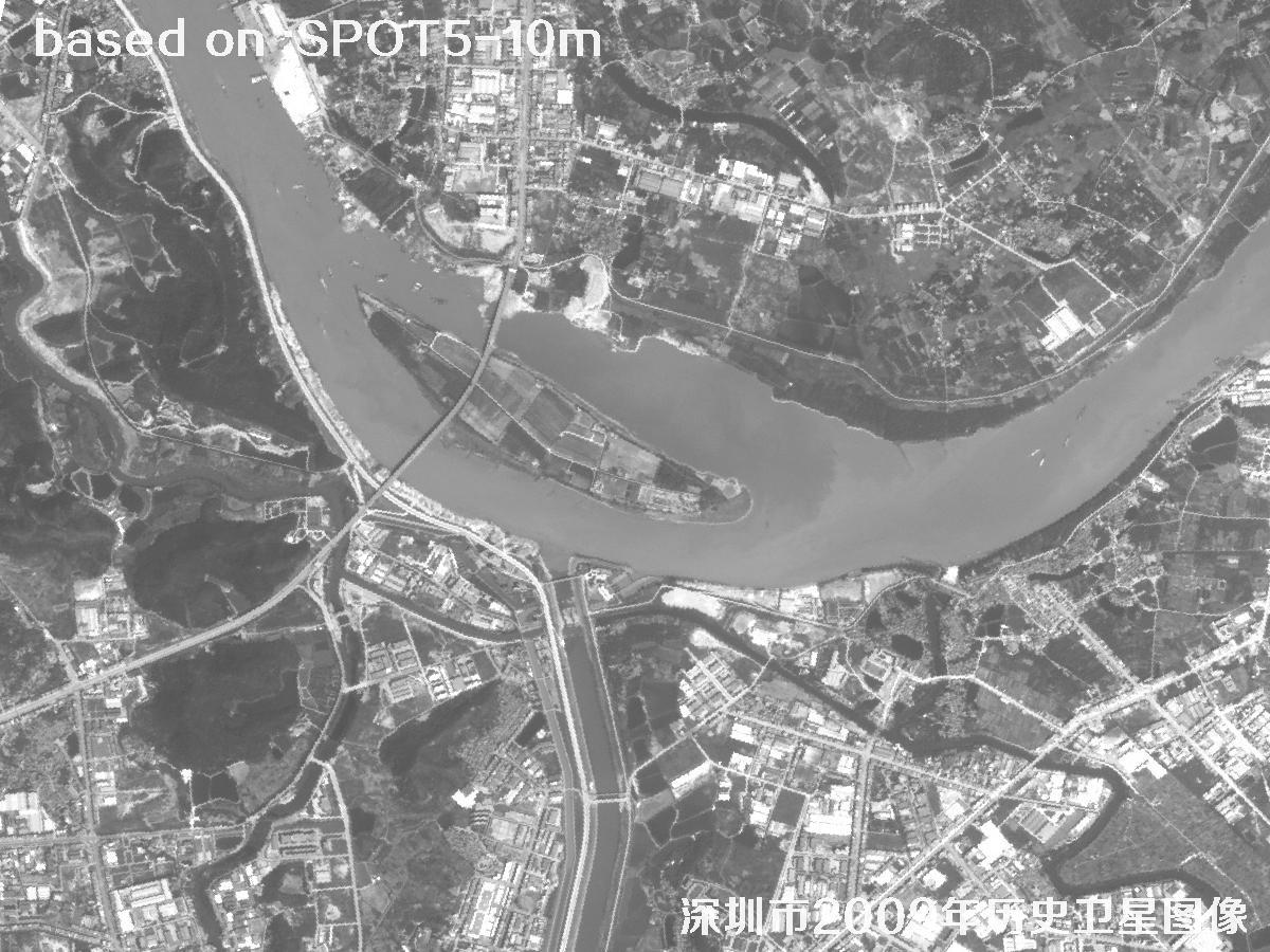
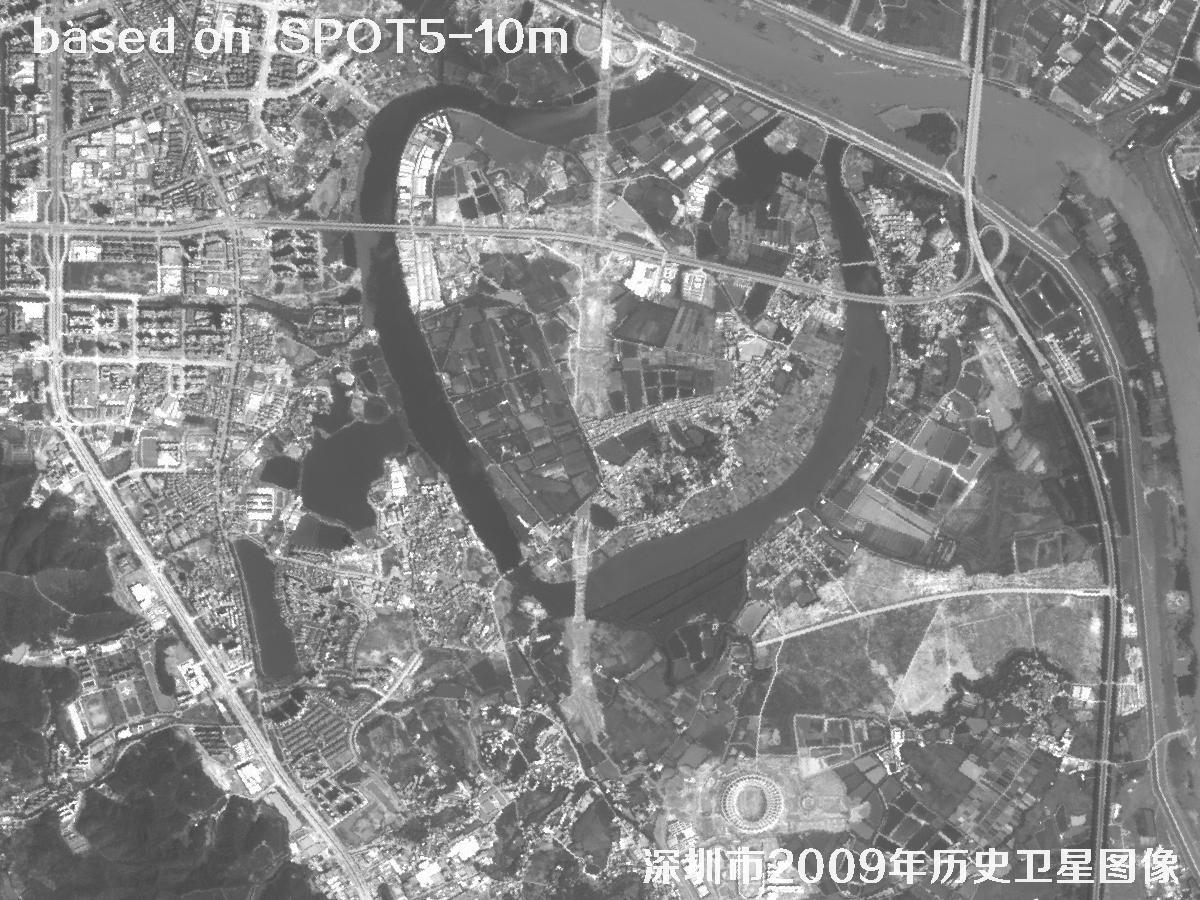
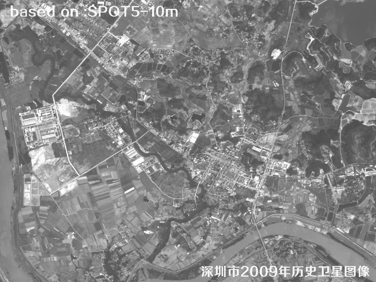
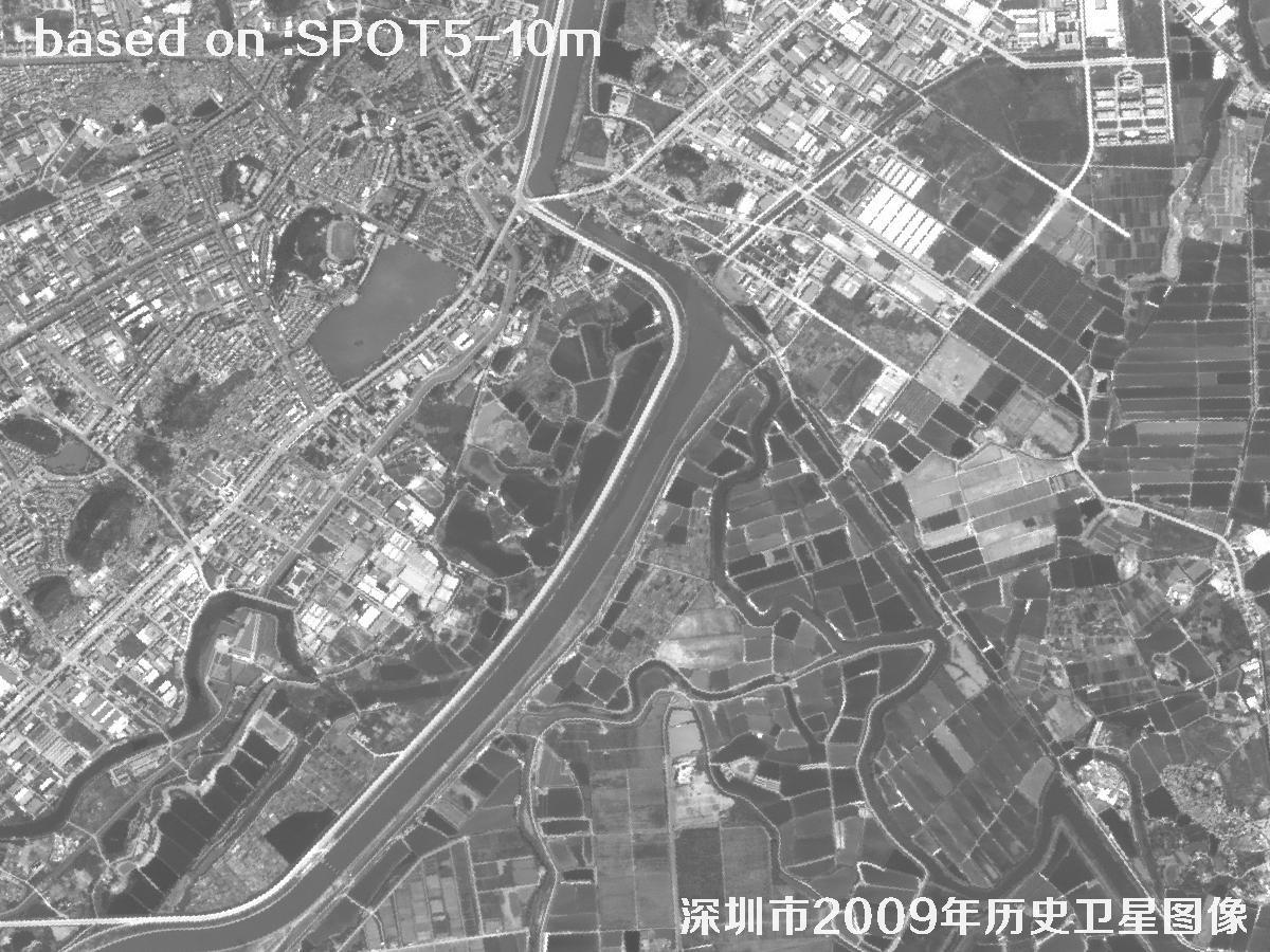
πŸ™οΈShenzhen 2009: SPOT5 Historical Satellite Imagery

πŸ—“οΈ Published: October 20, 2026 SPOT5 Shenzhen Map 2009 Imagery
πŸ›°οΈ Satellite
SPOT5
πŸ“… Captured
2009
πŸ“ Location
Shenzhen, Guangdong
πŸ” Use Case
Historical satellite map

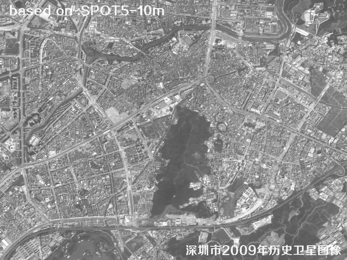
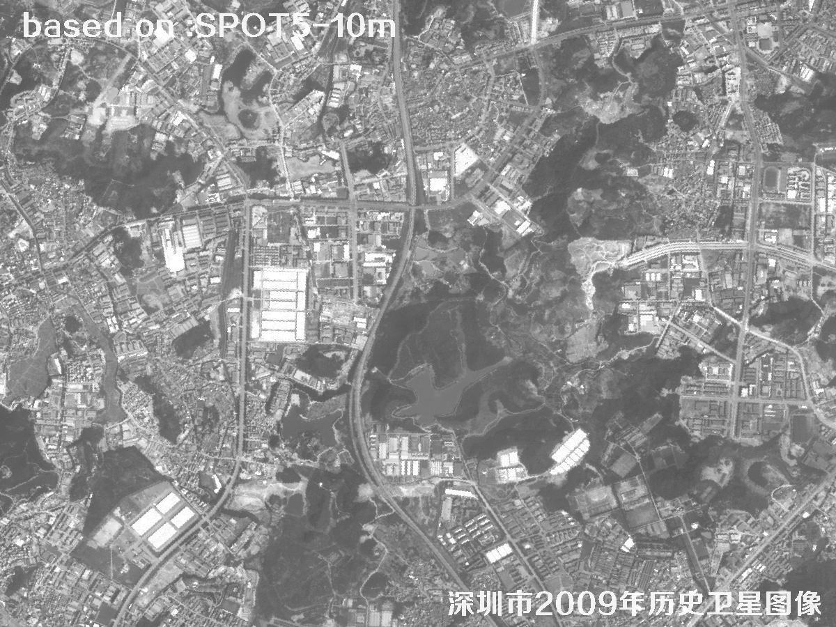
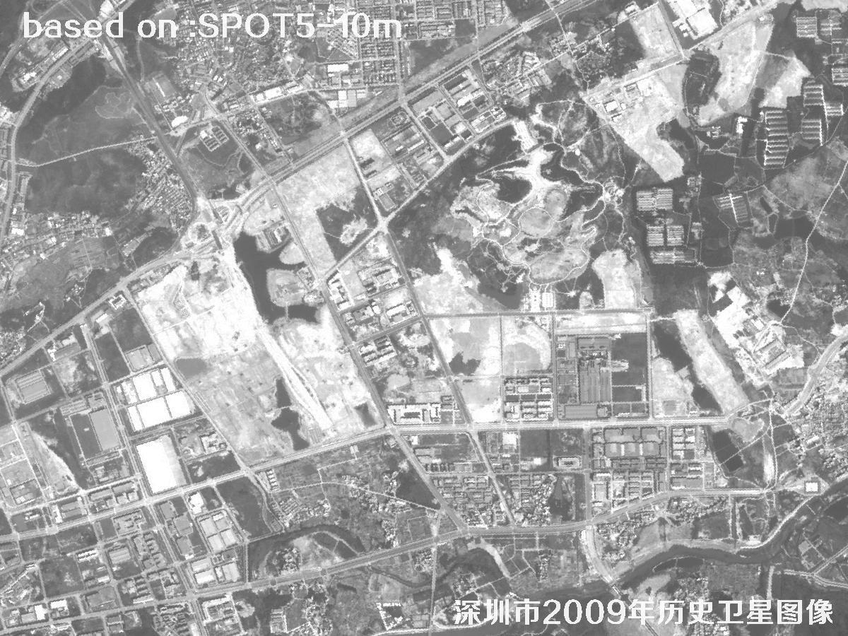
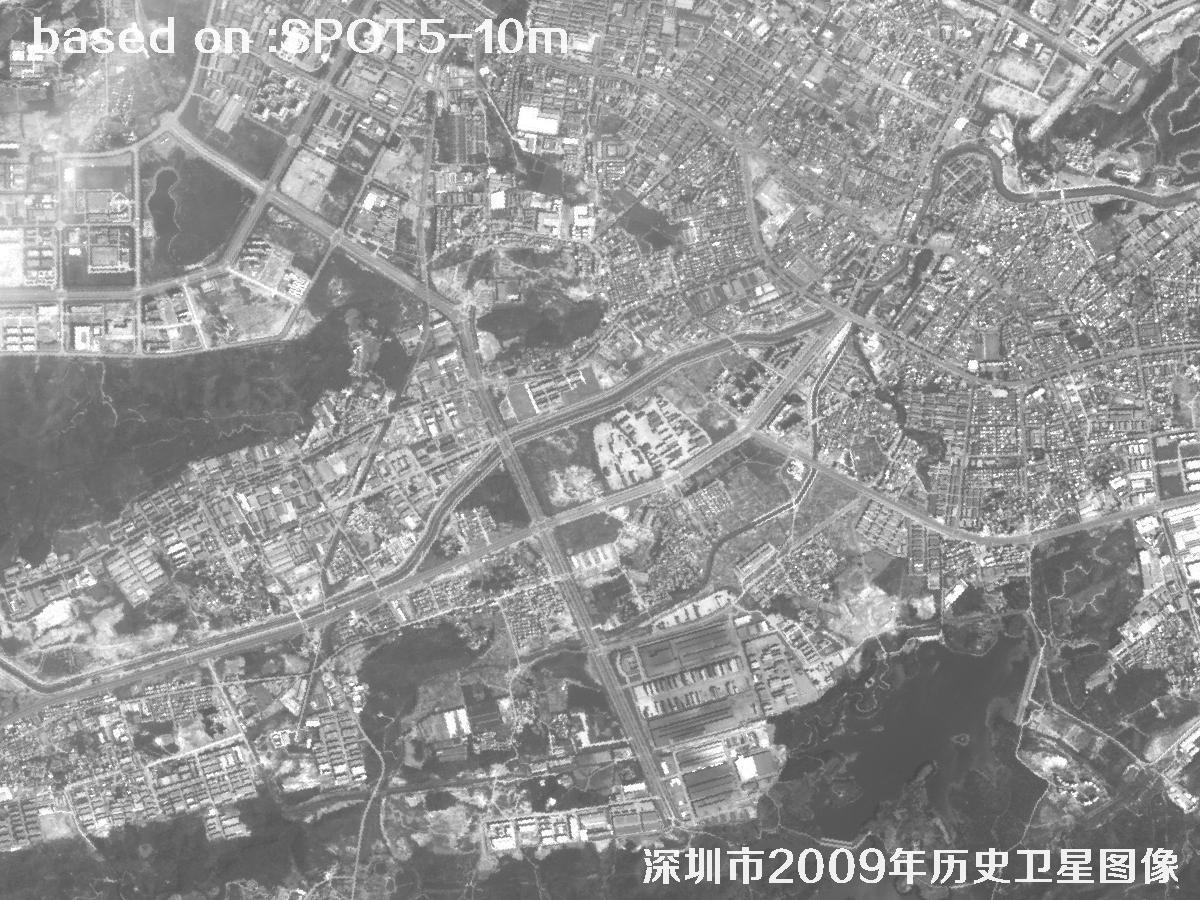
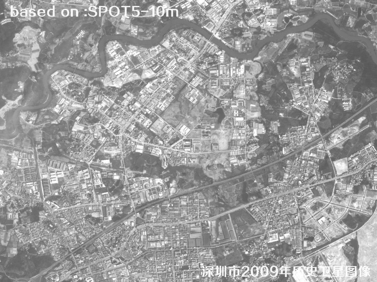
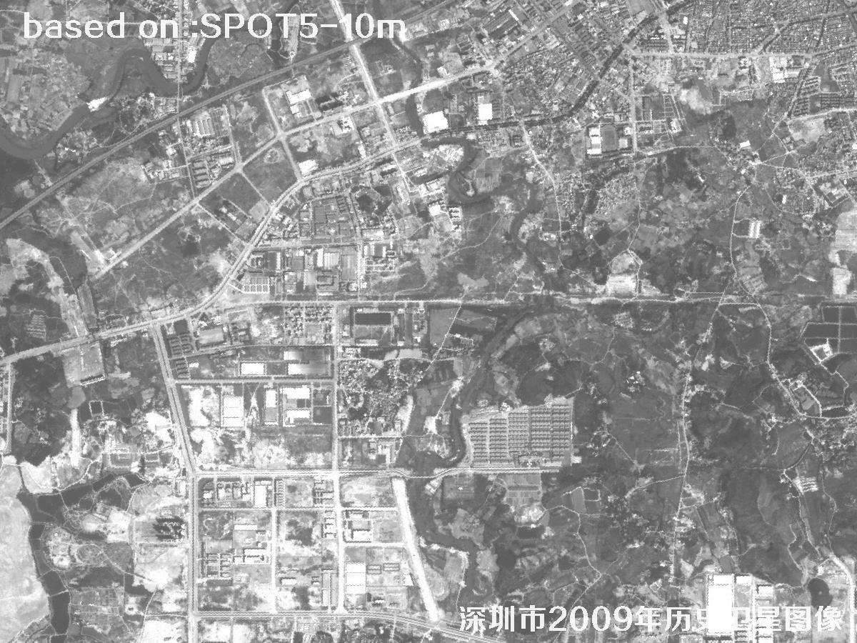
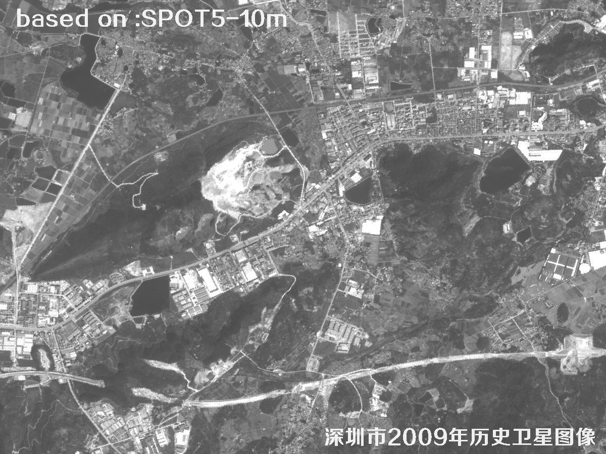
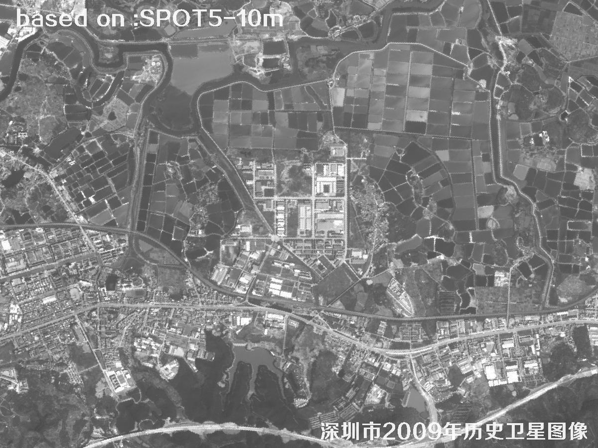
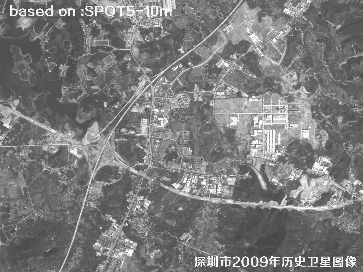
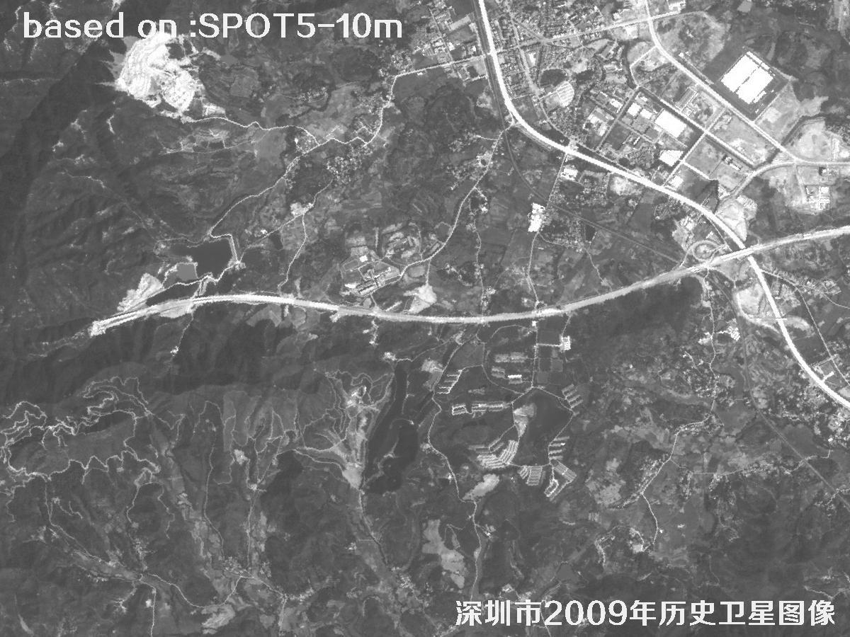
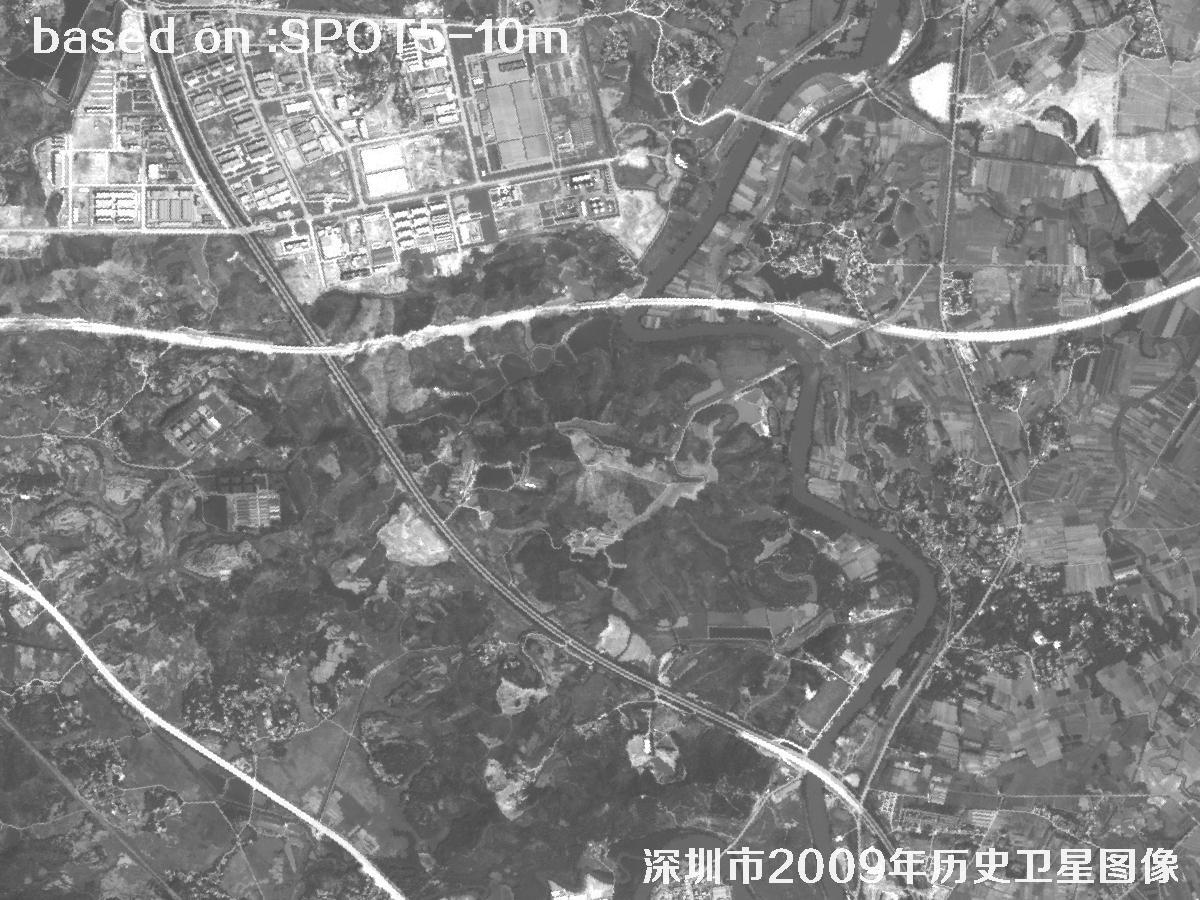
Shenzhen went from a fishing town to a city of more than ten million people in under thirty years. 2009 catches a telling moment: the Second Line still separated the special economic zone from the rest of the city, Futian and Luohu were already dense with towers, Nanshan was still reclaiming land, factories ran edge to edge across Bao'an and Longhua, and most of Qianhai was still mudflat and empty ground. A satellite image from that year fixes the boundary between β€œbefore” and β€œafter” the big expansion: where the built-up edge sat, how far the port had been filled, how industrial parks spread, and where the remaining farmland and lychee orchards still were.

At 10 m, SPOT5 cannot pick out a single house, but it is more than enough to read street blocks, main roads, factory rows, port yards and large construction sites β€” ideal for decade-scale comparisons. For planning, industrial studies, shoreline analysis and map collectors, this is a cheap and reliable base layer. The images below were taken by the French SPOT5 satellite over Shenzhen in 2009 at 10 m resolution.

πŸ’‘ Friendly tip: to purchase high-resolution satellite imagery, please contact our staff at Beijing OMap, or click search online for more satellite samples. One-on-one service, professional and quick.

SPOT5 is an optical remote-sensing satellite developed by France's CNES with Belgium and Sweden. It was launched on 4 May 2002 on an Ariane 4 rocket, continuing the SPOT series. Two high-resolution geometric (HRG) instruments deliver 2.5 m panchromatic and 10 m multispectral imagery over a 60 km swath, with along-track stereo and fast revisit through side-looking. SPOT5 worked until 2015 and left a long global archive; it was one of the most widely used medium-resolution commercial sources of the 2000s and early 2010s.

SPOT5 suits the study of Shenzhen particularly well. A 10 m pixel is roughly a basketball court, so individual buildings blur, but block outlines, arterial roads, factory rows, port yards and large construction sites read reliably. Overlay 2009 on today's imagery and you can watch Qianhai, Longhua and Guangming turn from open ground into city, and see the shoreline advance through reclamation as the airport and port expanded. For urban growth monitoring, land-use change, shoreline evolution and plan evaluation, the SPOT5 archive is a time-consistent and affordable base.

86
1986
SPOT-1 reaches orbit; commercial imagery begins
02
2002
SPOT-5 launched, swath widened to 60 km
09
2009
Shenzhen scene captured as the zone spread outward
15
2015
Mission ends; the archive stays available
🎯 Resolution 2.5 m pan / 10 m MS KEY
πŸš€ Launch 4 May 2002 (SPOT-5) KEY
πŸ›°οΈ SeriesSPOT (SPOT 1–5)
πŸ“… Operational2002 – 2015
🌍 OrbitSun-synchronous, ~822 km
πŸ“‘ SwathAbout 60 km
πŸ”§ PayloadTwo HRG imaging instruments
🌈 BandsPan + G, R, NIR, SWIR
πŸ” Revisit26 days (2–3 with side-look)
πŸ™οΈ ApplicationsUrban growth, land use, coast
πŸ’Ύ FormatGeoTIFF / ortho products

πŸ“Š Ground Detail: SPOT5 vs. Today (shorter bar = finer detail)

One pixel, three sensors
SPOT5 pan2.5 m
SPOT5 multispectral10 m
GF-7 pan (today)0.65 m
ℹ️ At 10 m, a pixel covers roughly a basketball court β€” right for blocks and districts, not single buildings.

πŸ—“οΈShenzhen in 2009: Historical SPOT5 Imagery

Total 15 images

Click the β›Ά button in the middle of any image to view it full screen. In full screen, press ← ↑ for the previous image and β†’ ↓ for the next; press Esc to exit.

Shenzhen 2009: SPOT5 Historical Satellite Imagery 1 Sample
Shenzhen, Guangdong, China β€” SPOT5 Satellite Image 11 / 15
Shenzhen 2009: SPOT5 Historical Satellite Imagery 2 Sample
Shenzhen, Guangdong, China β€” SPOT5 Satellite Image 22 / 15
Shenzhen 2009: SPOT5 Historical Satellite Imagery 3 Sample
Shenzhen, Guangdong, China β€” SPOT5 Satellite Image 33 / 15
Shenzhen 2009: SPOT5 Historical Satellite Imagery 4 Sample
Shenzhen, Guangdong, China β€” SPOT5 Satellite Image 44 / 15
Shenzhen 2009: SPOT5 Historical Satellite Imagery 5 Sample
Shenzhen, Guangdong, China β€” SPOT5 Satellite Image 55 / 15
Shenzhen 2009: SPOT5 Historical Satellite Imagery 6 Sample
Shenzhen, Guangdong, China β€” SPOT5 Satellite Image 66 / 15
Shenzhen 2009: SPOT5 Historical Satellite Imagery 7 Sample
Shenzhen, Guangdong, China β€” SPOT5 Satellite Image 77 / 15
Shenzhen 2009: SPOT5 Historical Satellite Imagery 8 Sample
Shenzhen, Guangdong, China β€” SPOT5 Satellite Image 88 / 15
Shenzhen 2009: SPOT5 Historical Satellite Imagery 9 Sample
Shenzhen, Guangdong, China β€” SPOT5 Satellite Image 99 / 15
Shenzhen 2009: SPOT5 Historical Satellite Imagery 10 Sample
Shenzhen, Guangdong, China β€” SPOT5 Satellite Image 1010 / 15
Shenzhen 2009: SPOT5 Historical Satellite Imagery 11 Sample
Shenzhen, Guangdong, China β€” SPOT5 Satellite Image 1111 / 15
Shenzhen 2009: SPOT5 Historical Satellite Imagery 12 Sample
Shenzhen, Guangdong, China β€” SPOT5 Satellite Image 1212 / 15
Shenzhen 2009: SPOT5 Historical Satellite Imagery 13 Sample
Shenzhen, Guangdong, China β€” SPOT5 Satellite Image 1313 / 15
Shenzhen 2009: SPOT5 Historical Satellite Imagery 14 Sample
Shenzhen, Guangdong, China β€” SPOT5 Satellite Image 1414 / 15
Shenzhen 2009: SPOT5 Historical Satellite Imagery 15 Sample
Shenzhen, Guangdong, China β€” SPOT5 Satellite Image 1515 / 15
πŸ”Ž Good to know: image clarity depends on the weather at the time, the season, sun elevation and viewing angle, target size and ground texture. Shenzhen sits on the coast, where cloud cover swings around the typhoon season and humid air often brings haze; the same district can look different in tone, shadow and detail from one pass to the next. At 10 m, the imagery reads best at block and district scale rather than individual buildings. Comparing several dates gives a safer reading, and the original data product remains the reference.

🎯What Else Can You Spot?

These ground targets read clearly in SPOT5 imagery. Pick a topic to see more.