SuperViewN Satellite: 0.5m Imagery of Bangkok, Thailand (2026)
🛰️ About the SuperView (Gaojing) Satellites
| 🚀 1. Launch date | SuperViewN series launched in batches, typically in stages during 2020–2023; consult the official release / launch announcement for the exact date of a specific satellite. |
|---|---|
| 🔍 2. Spatial resolution | Sub-meter to meter-class products; typical pan ~0.3–0.5 m, multispectral ~1.2–2 m, depending on model and payload. |
| 🌈 3. Spectral bands | Usually visible Red, Green, Blue + Near-Infrared (NIR); supports vegetation indices, soil moisture and material identification. |
| 🔄 4. Orbit & revisit | Mostly sun-synchronous near-noon (SSO) orbits; revisit ranges from daily to several days depending on constellation size — suited to time-series monitoring. |
| 📦 5. Products & processing | Raw imagery, ORTHO, geometric correction and pan-sharpened fusion; tiled / WMTS services plus on-demand analytics (change detection, target extraction) are normally available. |
📊 Resolution comparison (smaller = sharper)
💡 0.5-m Bangkok scenes clearly resolve buildings, roads, canals, ports and dense urban fabric — ideal for planning, mapping and change analysis.
⚙️ This dataset at a glance
📍 Bangkok, Thailand · 🗓️ March 2026 · 🔍 0.5 m
🛰️ SuperViewN · 🖼️ 38 views · 🛒 Available to order
🛰️ 0.5m satellite images of Bangkok (March 2026) — 38 views:
Tip: click any image to enlarge (click, arrow keys, Esc, or prev / next buttons are supported).
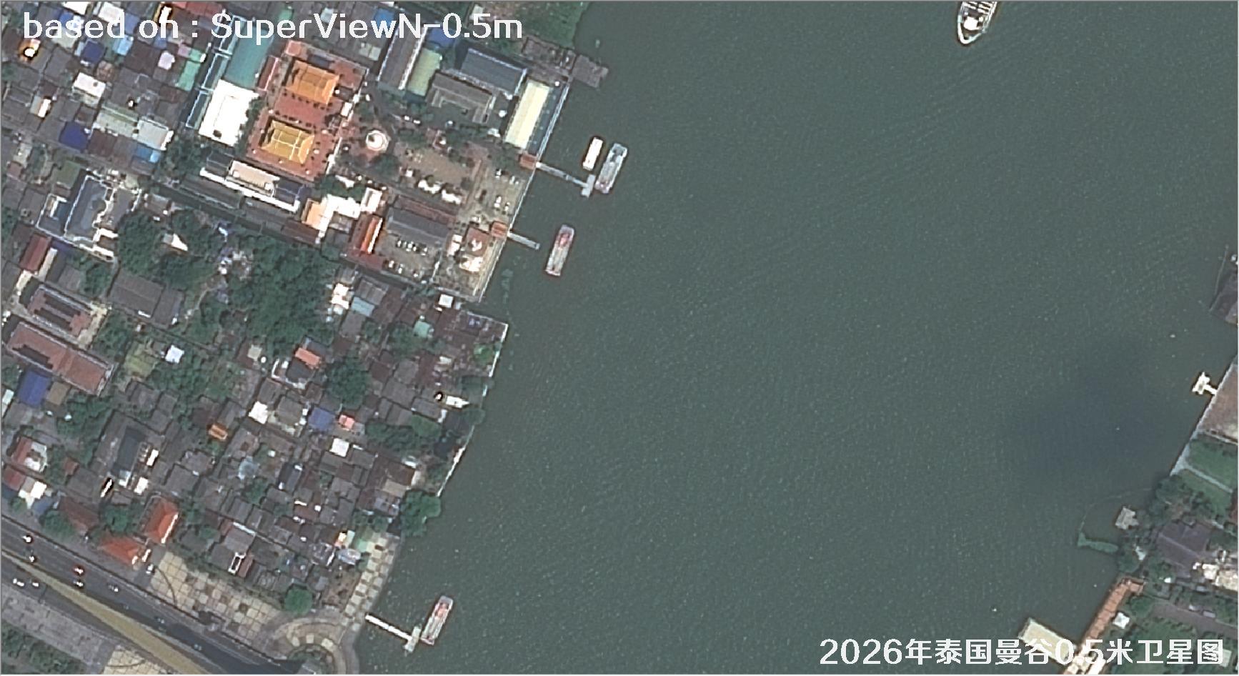
Fig. 1 — 0.5m SuperView satellite image of Bangkok, Thailand (2026), scene 1 of 38
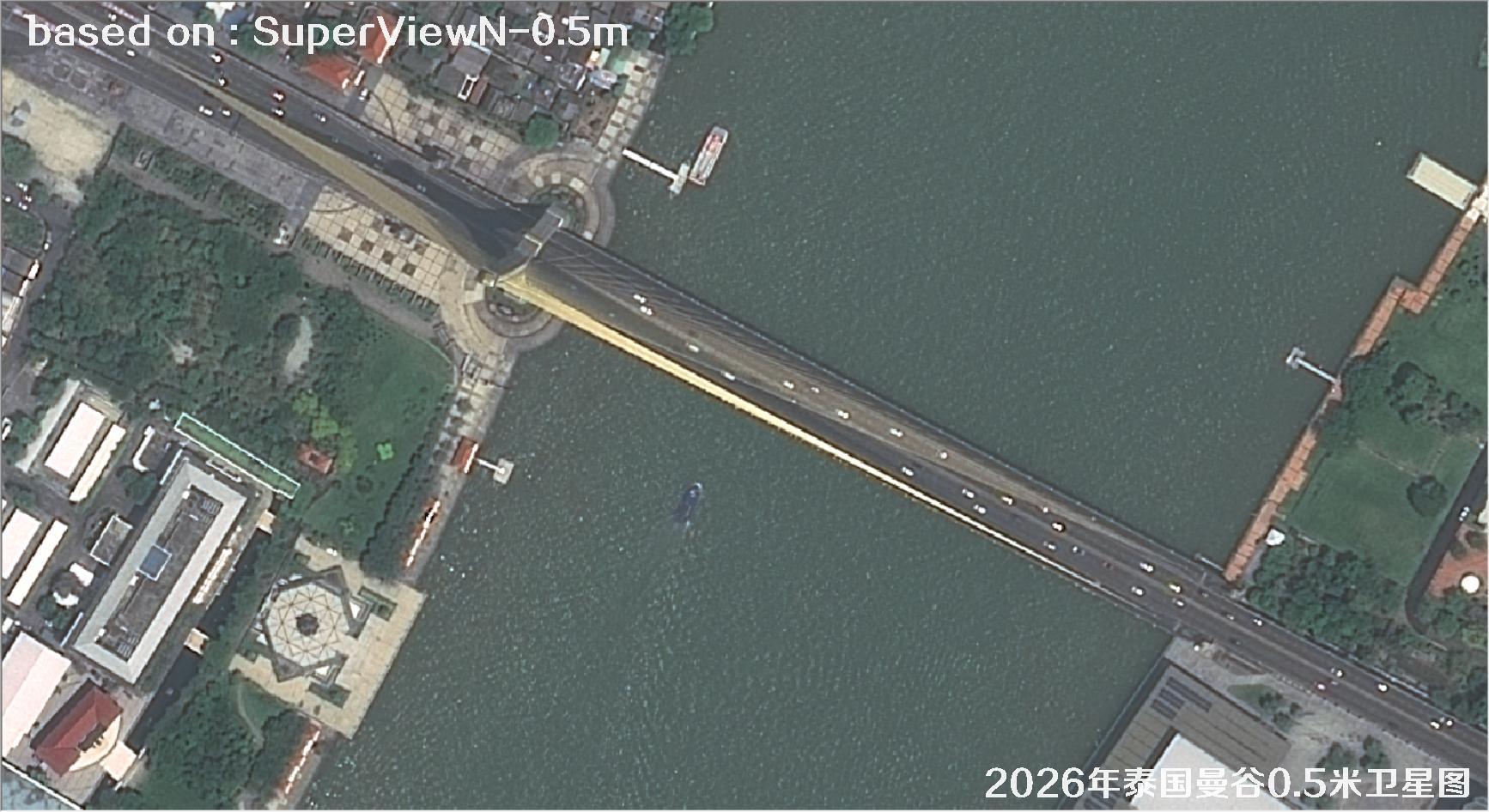
Fig. 2 — 0.5m SuperView satellite image of Bangkok, Thailand (2026), scene 2 of 38
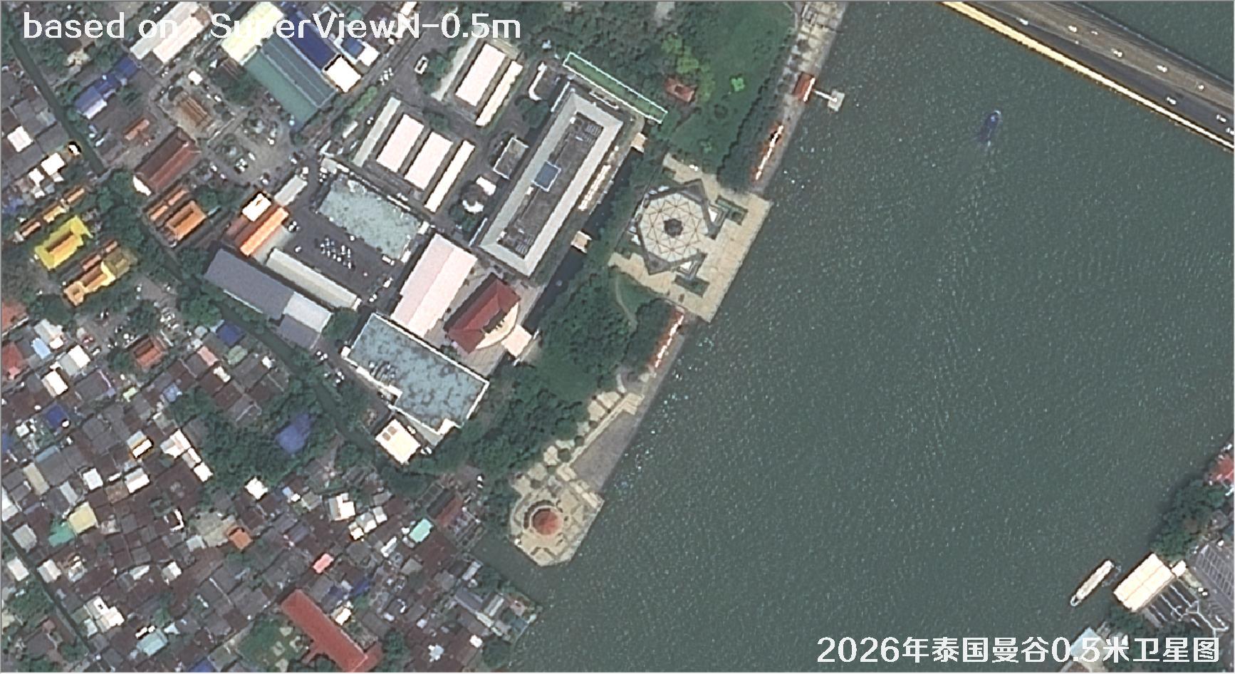
Fig. 3 — 0.5m SuperView satellite image of Bangkok, Thailand (2026), scene 3 of 38
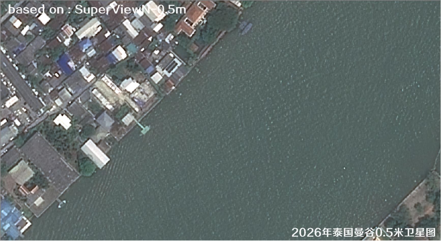
Fig. 4 — 0.5m SuperView satellite image of Bangkok, Thailand (2026), scene 4 of 38
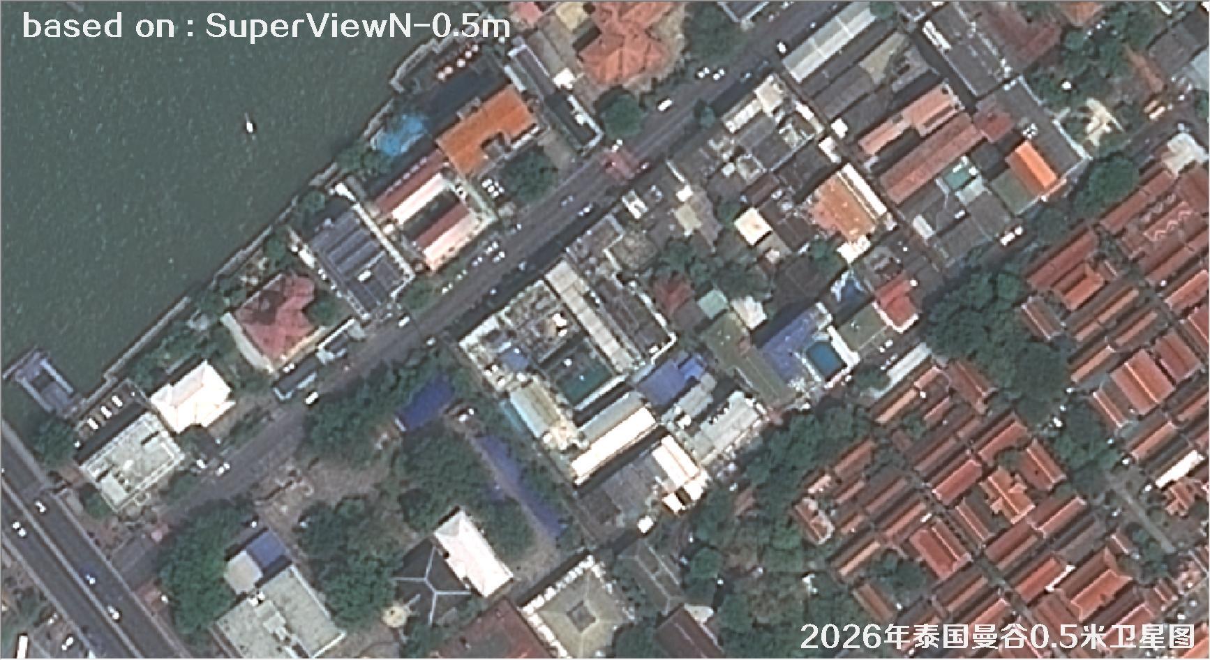
Fig. 5 — 0.5m SuperView satellite image of Bangkok, Thailand (2026), scene 5 of 38
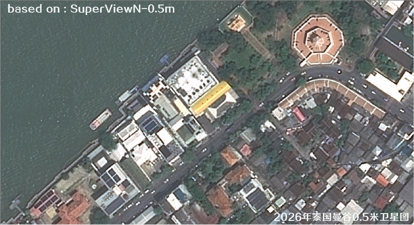
Fig. 6 — 0.5m SuperView satellite image of Bangkok, Thailand (2026), scene 6 of 38
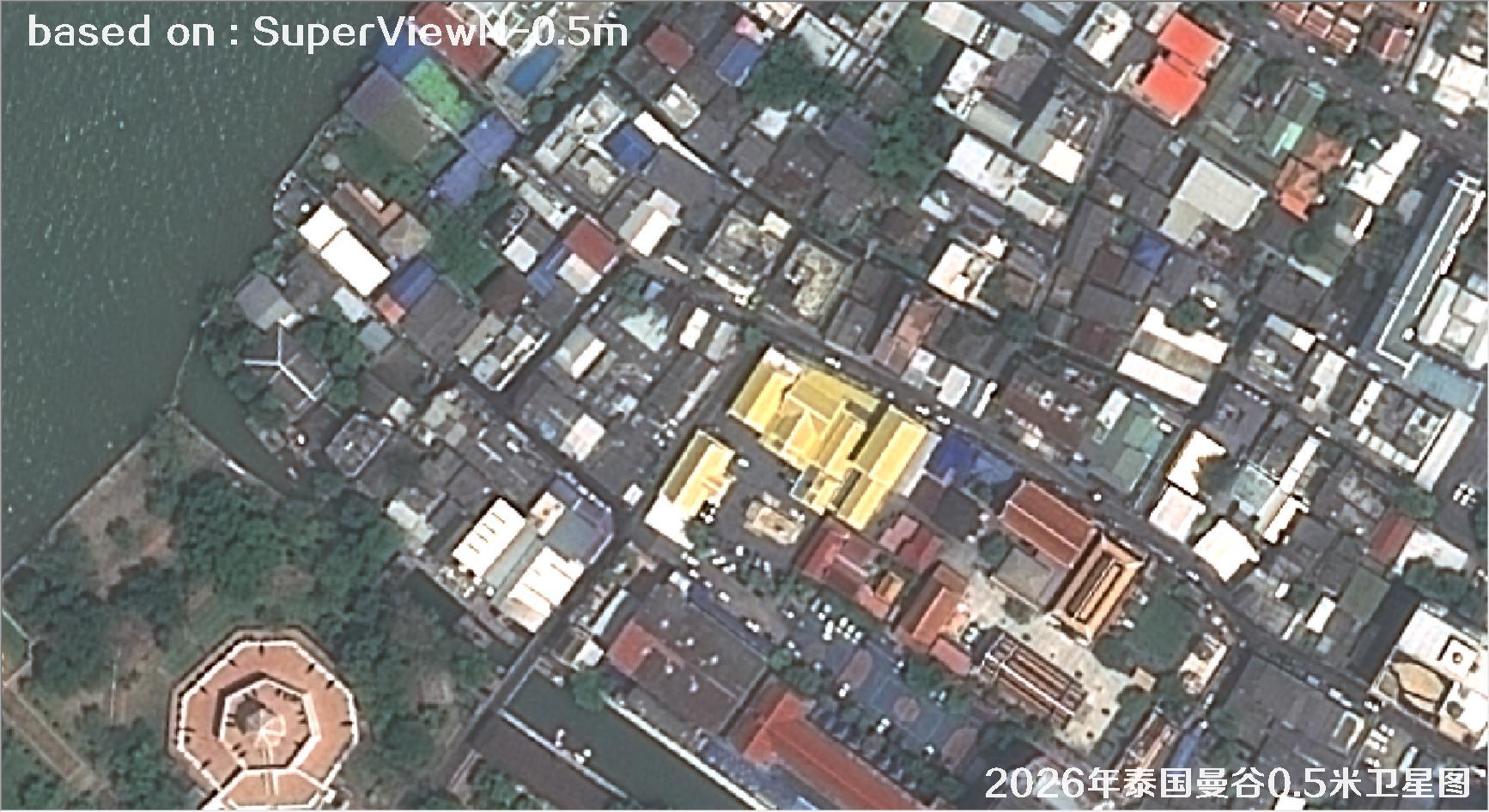
Fig. 7 — 0.5m SuperView satellite image of Bangkok, Thailand (2026), scene 7 of 38
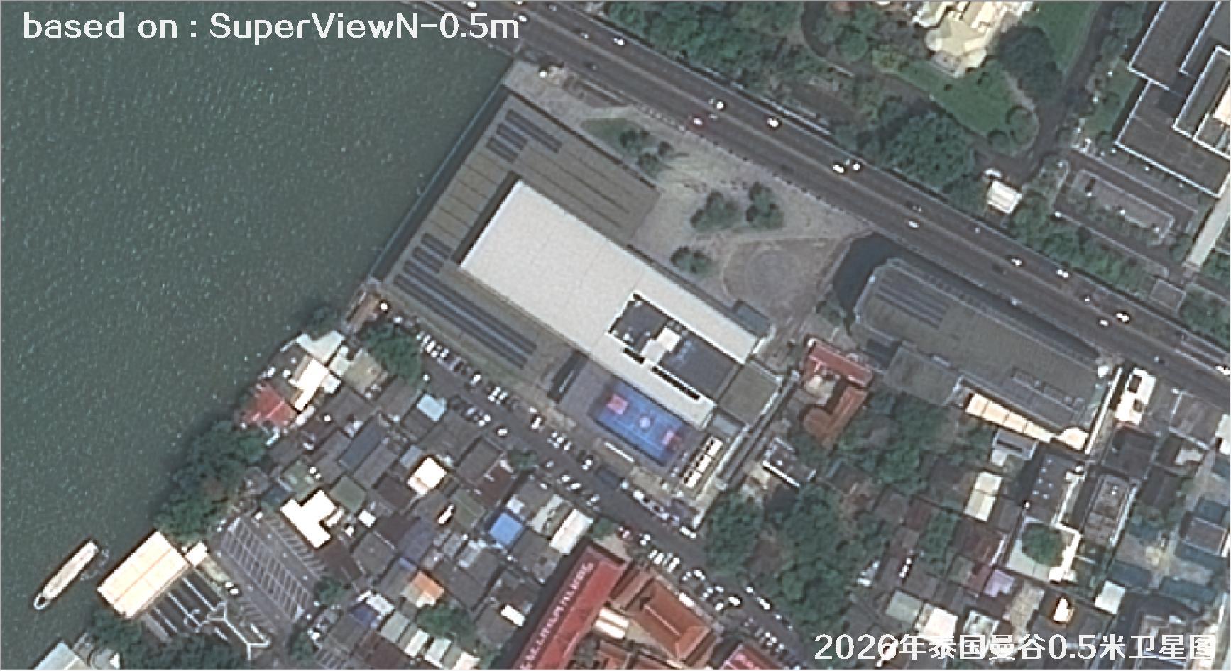
Fig. 8 — 0.5m SuperView satellite image of Bangkok, Thailand (2026), scene 8 of 38
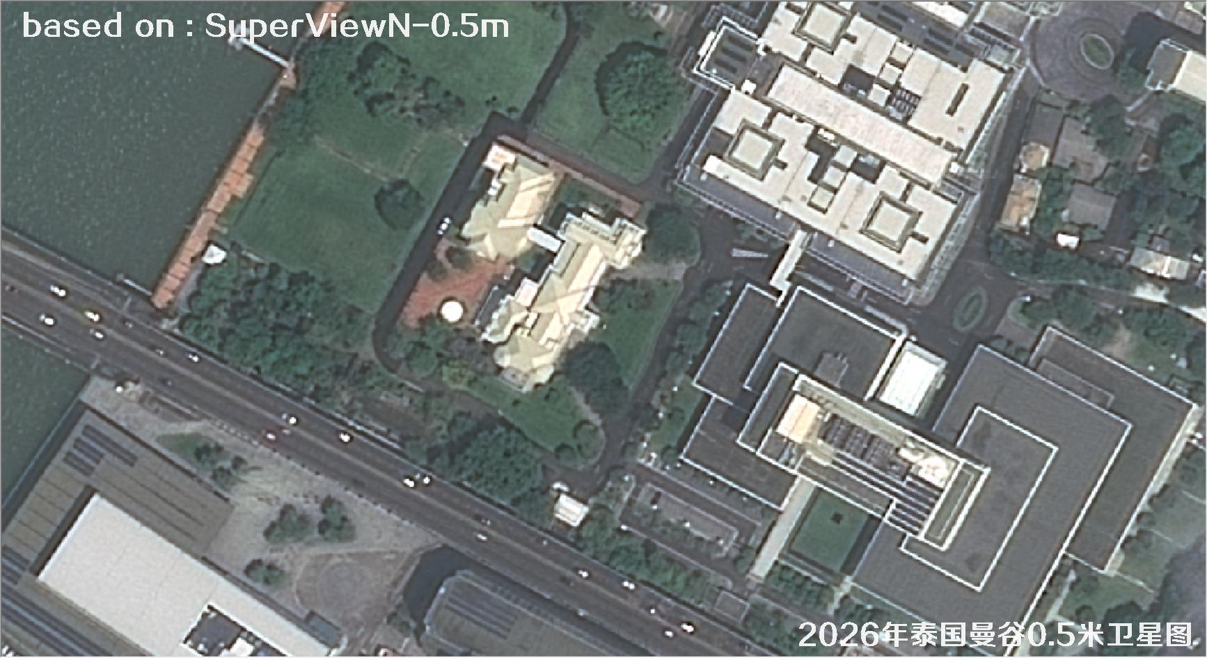
Fig. 9 — 0.5m SuperView satellite image of Bangkok, Thailand (2026), scene 9 of 38
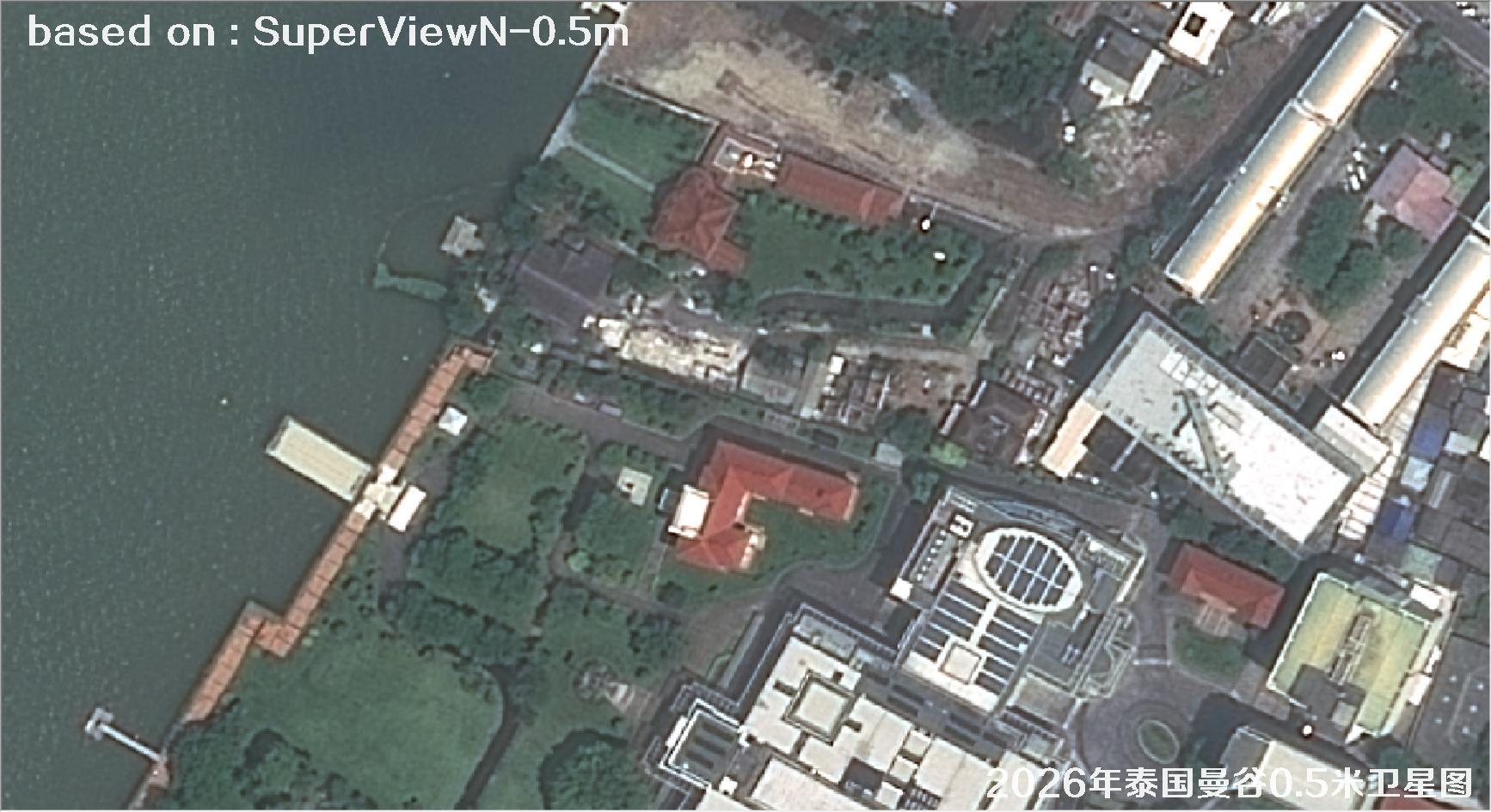
Fig. 10 — 0.5m SuperView satellite image of Bangkok, Thailand (2026), scene 10 of 38
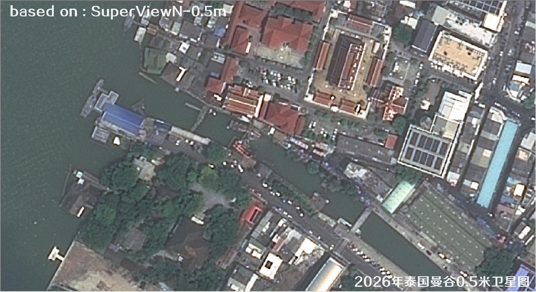
Fig. 11 — 0.5m SuperView satellite image of Bangkok, Thailand (2026), scene 11 of 38
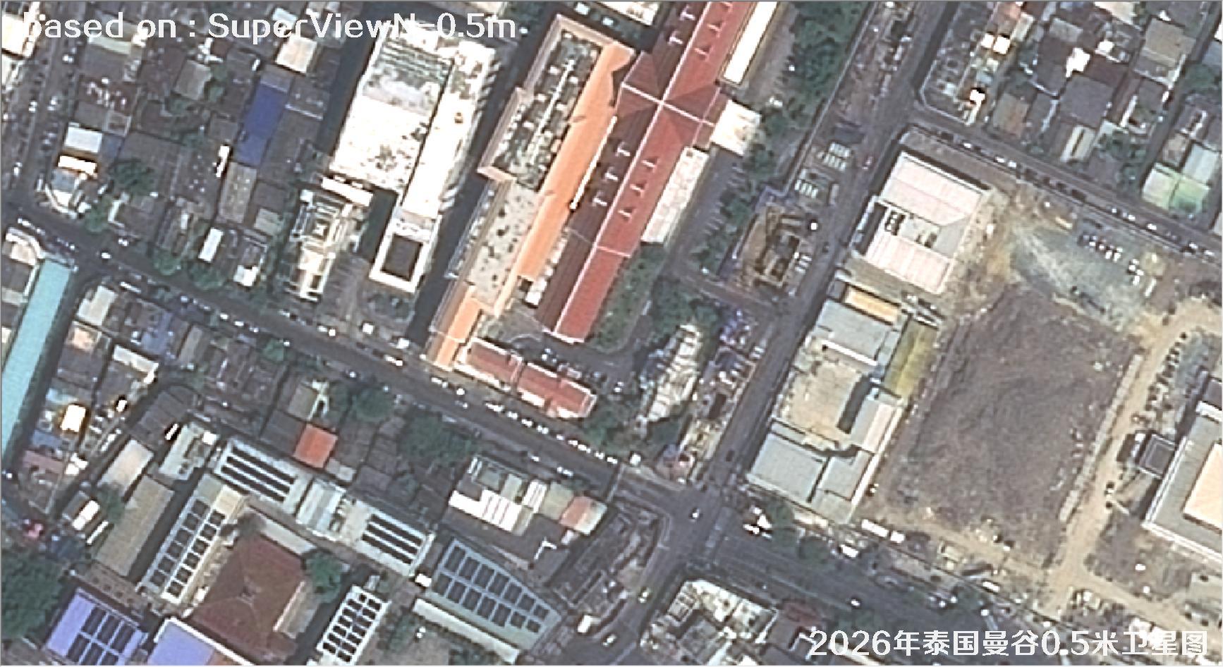
Fig. 12 — 0.5m SuperView satellite image of Bangkok, Thailand (2026), scene 12 of 38
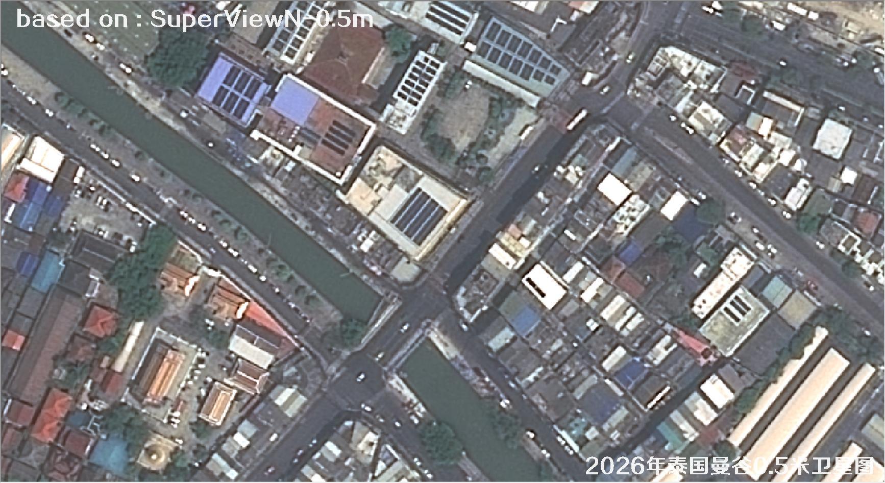
Fig. 13 — 0.5m SuperView satellite image of Bangkok, Thailand (2026), scene 13 of 38
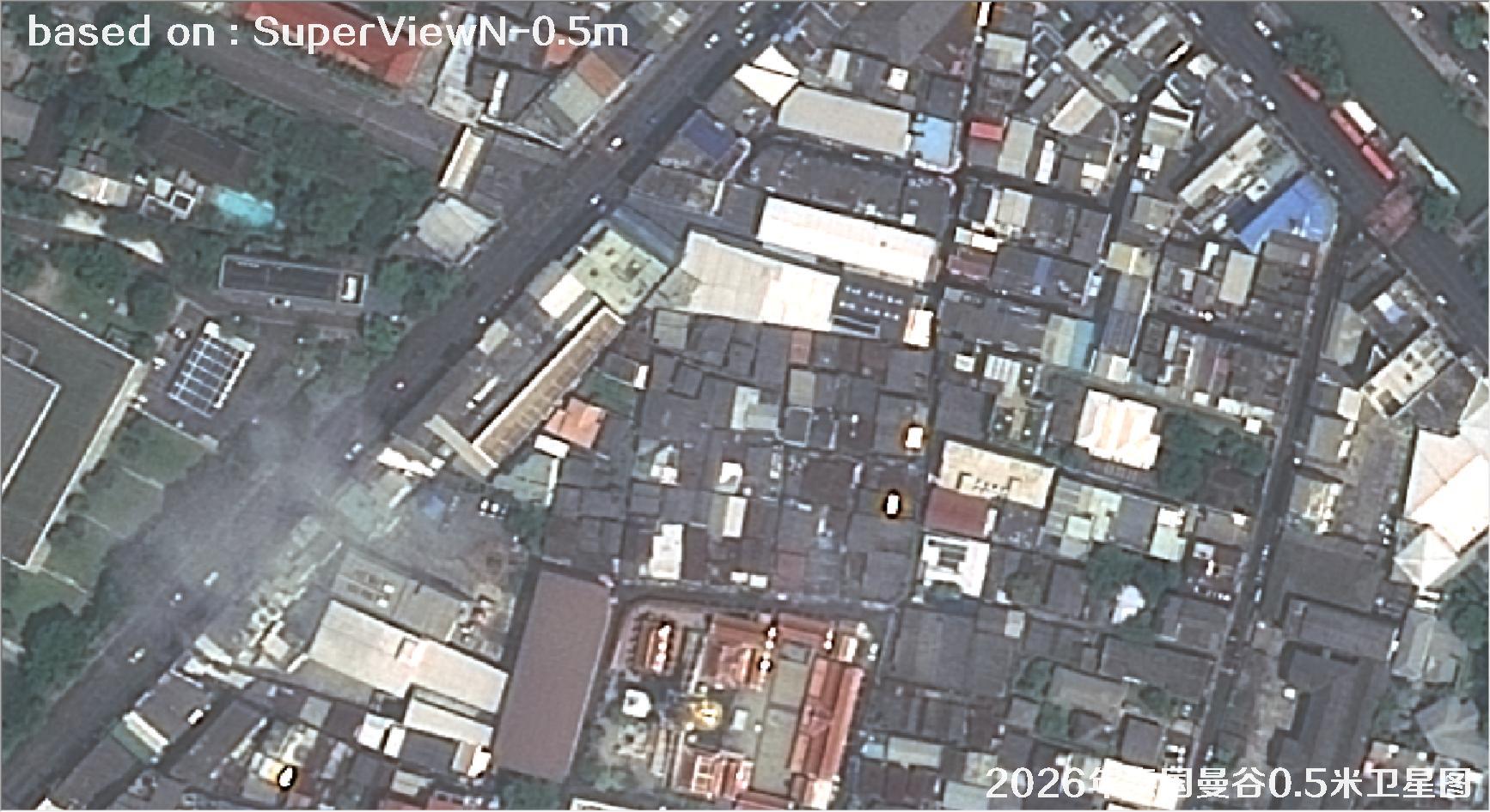
Fig. 14 — 0.5m SuperView satellite image of Bangkok, Thailand (2026), scene 14 of 38
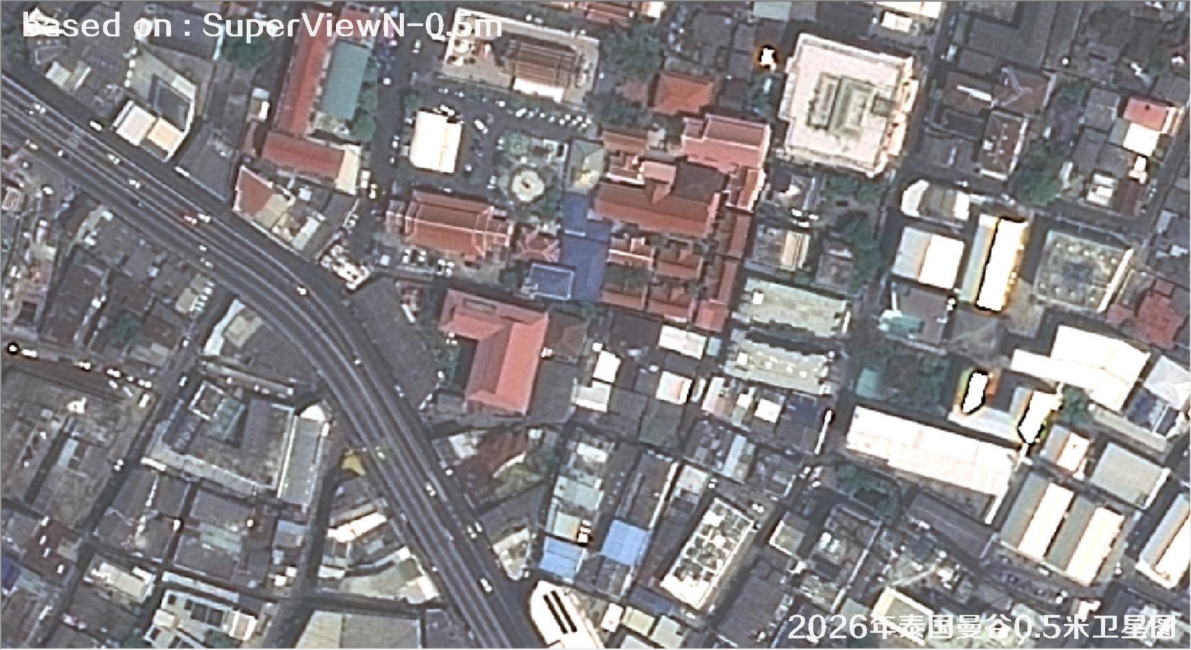
Fig. 15 — 0.5m SuperView satellite image of Bangkok, Thailand (2026), scene 15 of 38
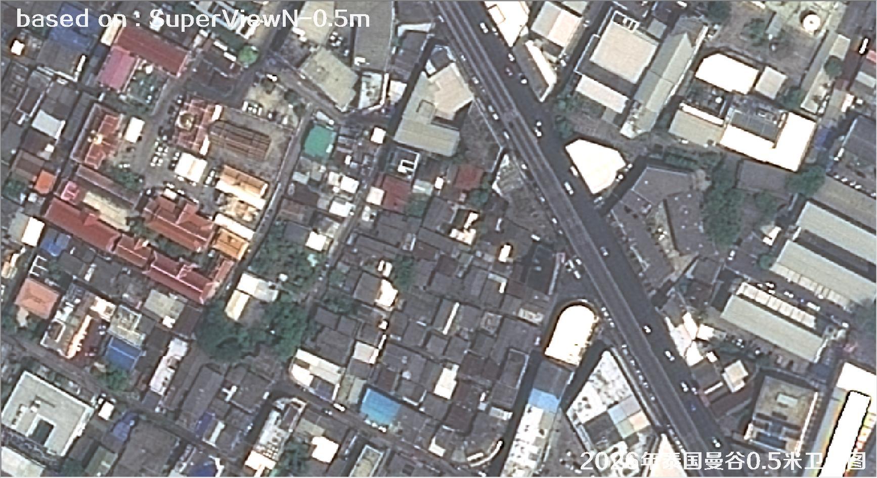
Fig. 16 — 0.5m SuperView satellite image of Bangkok, Thailand (2026), scene 16 of 38
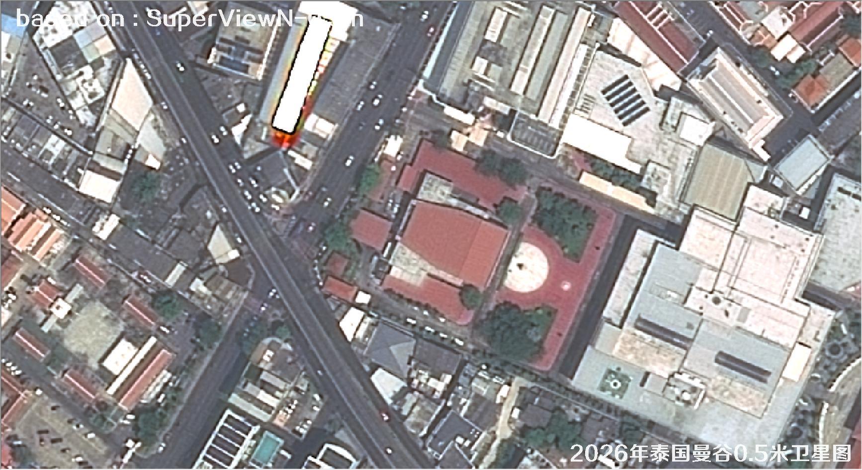
Fig. 17 — 0.5m SuperView satellite image of Bangkok, Thailand (2026), scene 17 of 38
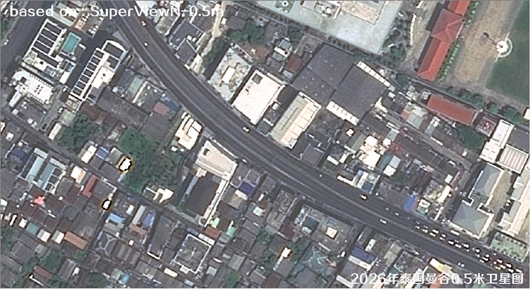
Fig. 18 — 0.5m SuperView satellite image of Bangkok, Thailand (2026), scene 18 of 38
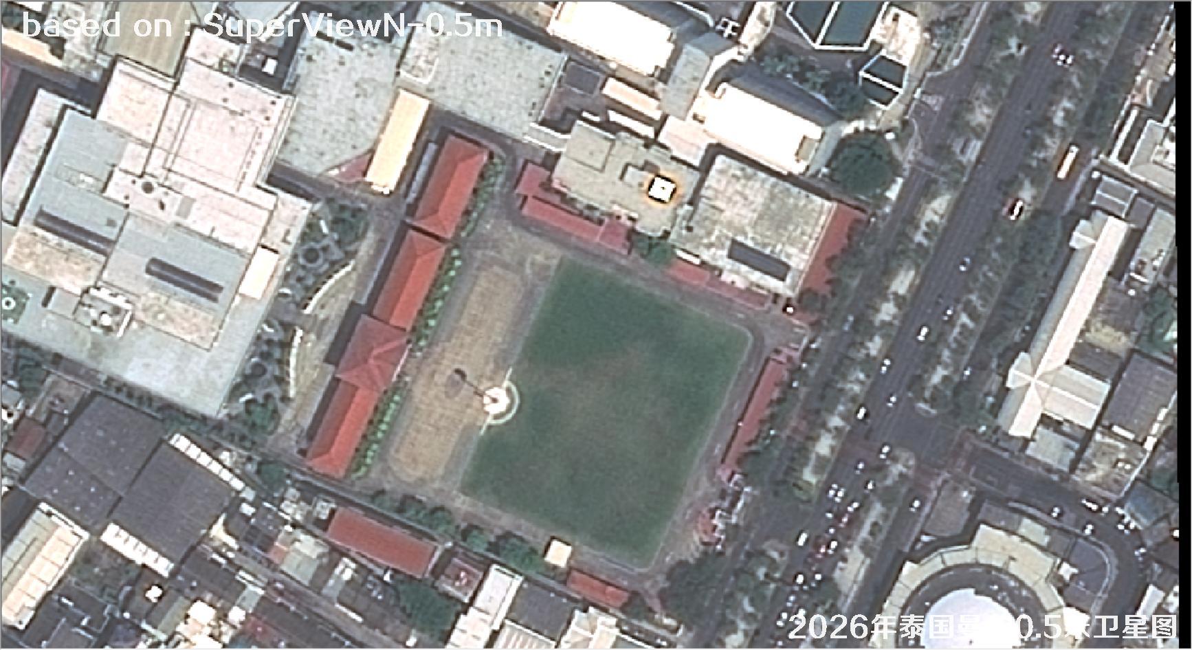
Fig. 19 — 0.5m SuperView satellite image of Bangkok, Thailand (2026), scene 19 of 38
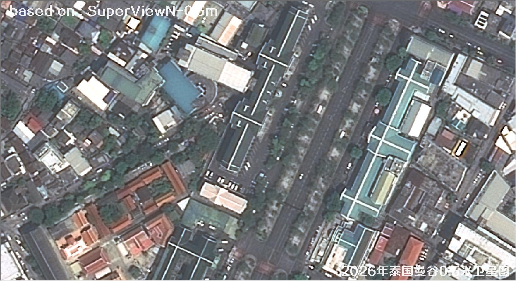
Fig. 20 — 0.5m SuperView satellite image of Bangkok, Thailand (2026), scene 20 of 38
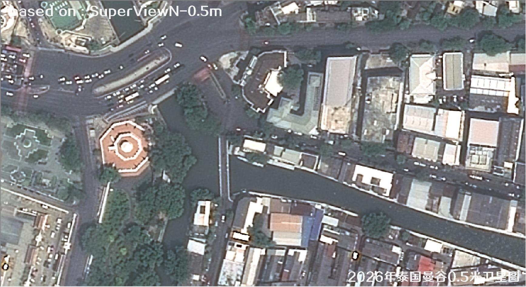
Fig. 21 — 0.5m SuperView satellite image of Bangkok, Thailand (2026), scene 21 of 38
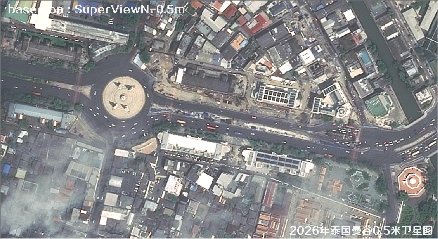
Fig. 22 — 0.5m SuperView satellite image of Bangkok, Thailand (2026), scene 22 of 38
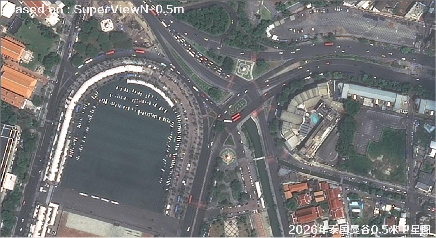
Fig. 23 — 0.5m SuperView satellite image of Bangkok, Thailand (2026), scene 23 of 38
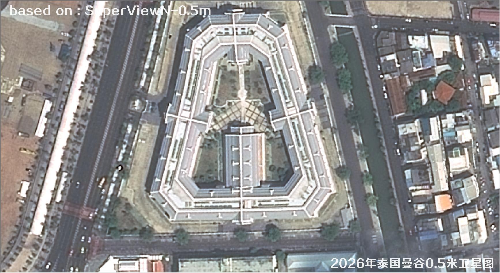
Fig. 24 — 0.5m SuperView satellite image of Bangkok, Thailand (2026), scene 24 of 38
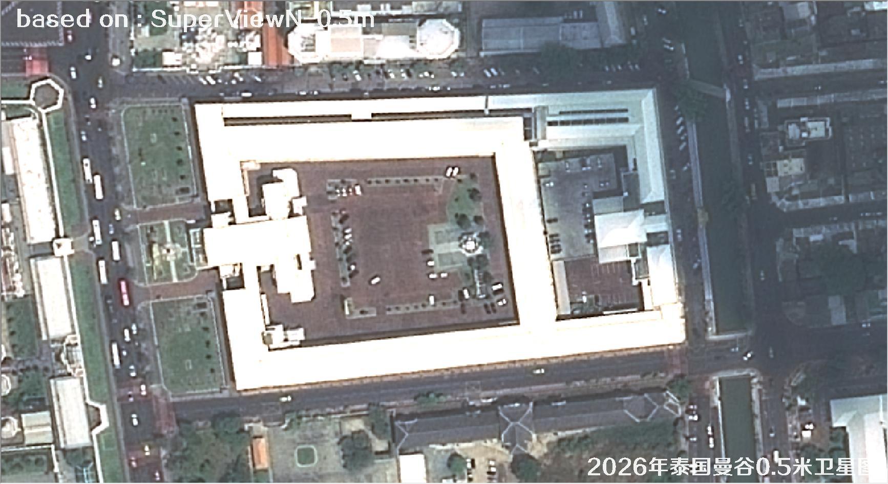
Fig. 25 — 0.5m SuperView satellite image of Bangkok, Thailand (2026), scene 25 of 38
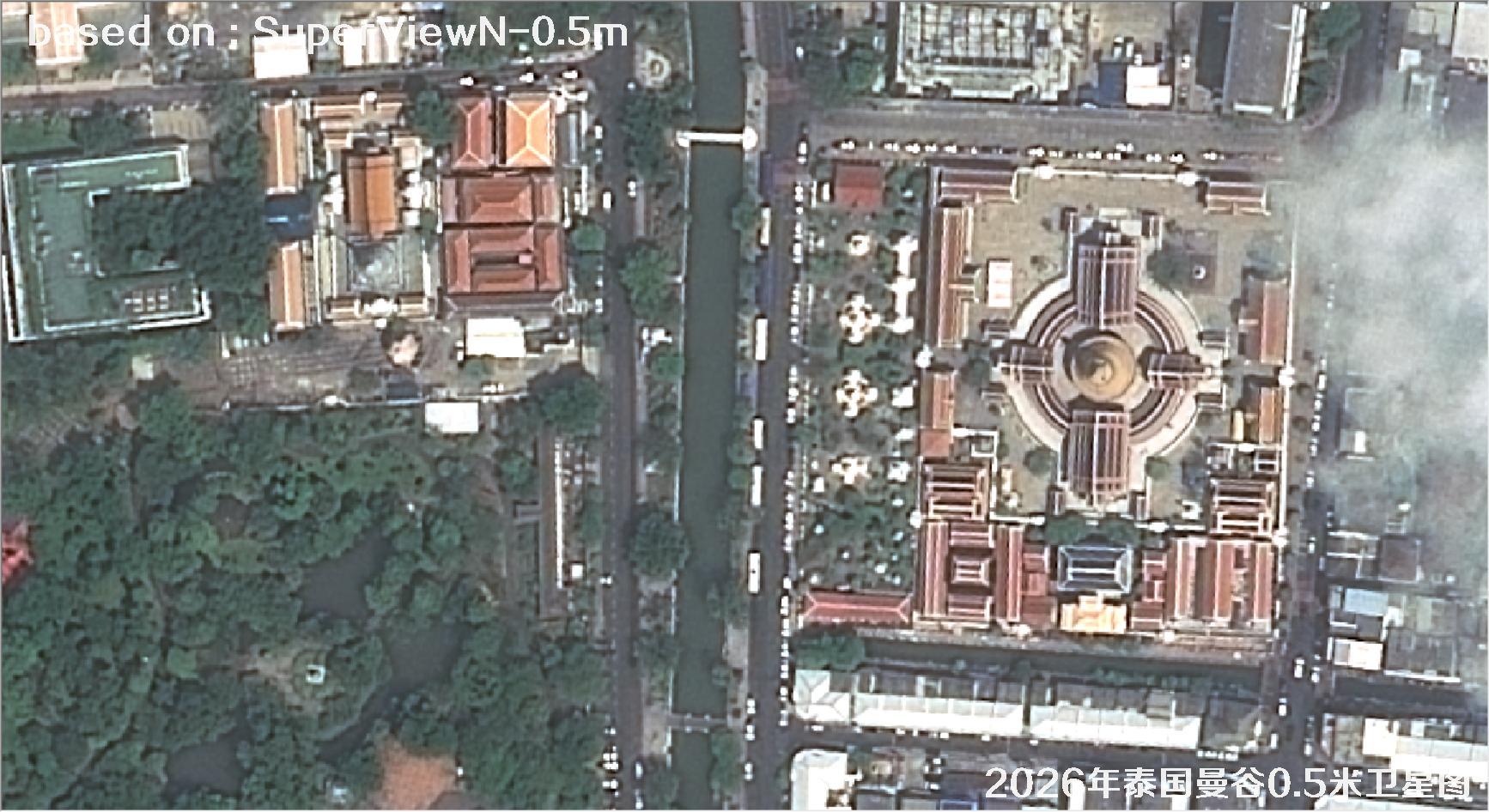
Fig. 26 — 0.5m SuperView satellite image of Bangkok, Thailand (2026), scene 26 of 38
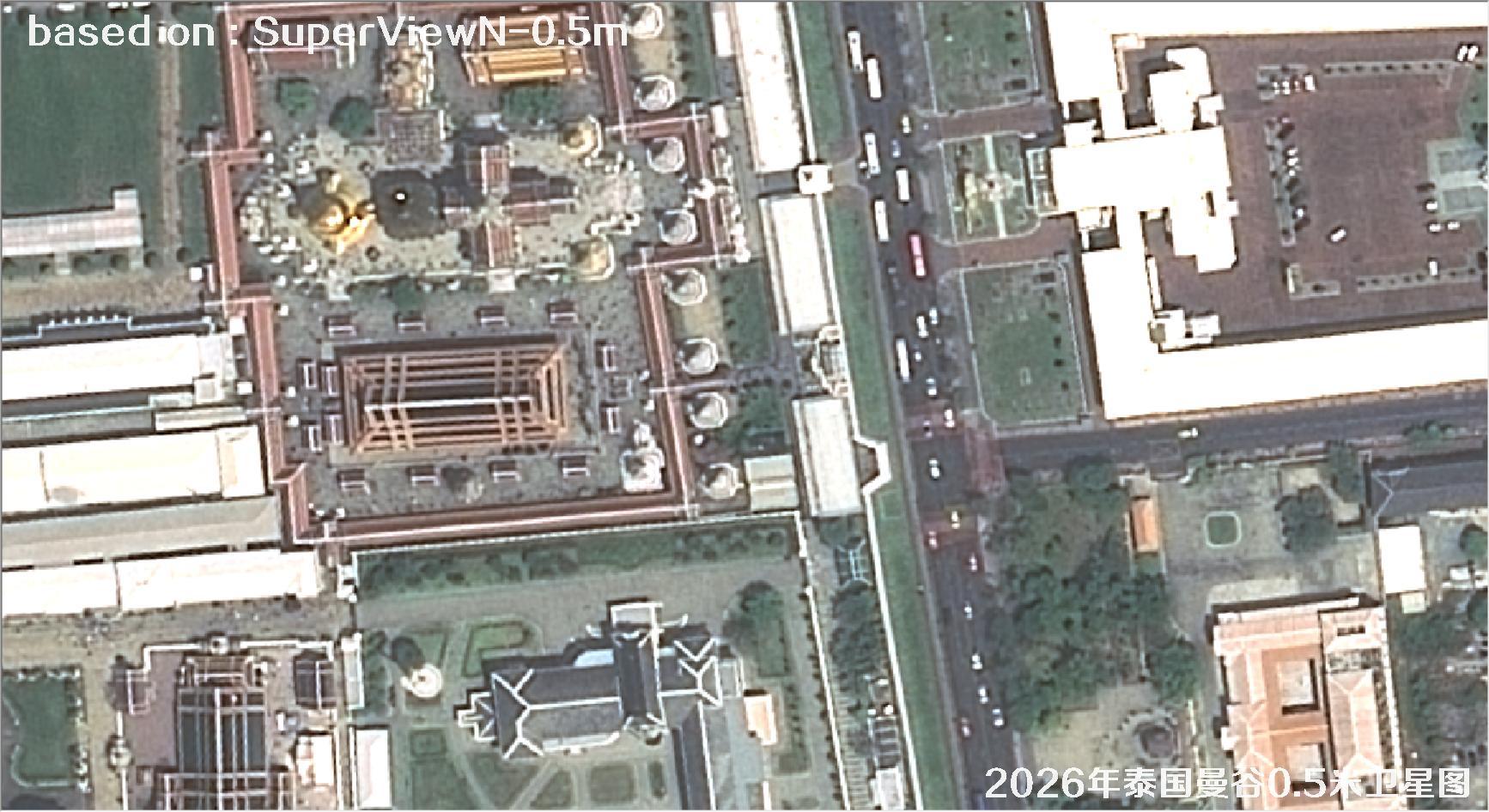
Fig. 27 — 0.5m SuperView satellite image of Bangkok, Thailand (2026), scene 27 of 38
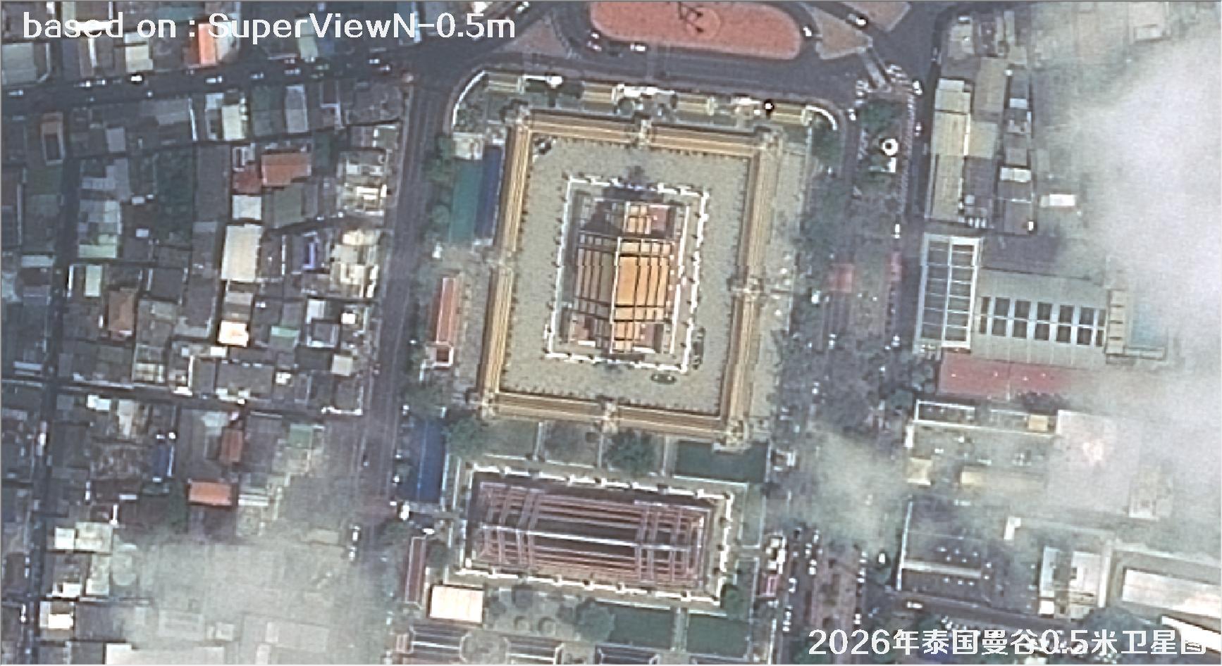
Fig. 28 — 0.5m SuperView satellite image of Bangkok, Thailand (2026), scene 28 of 38
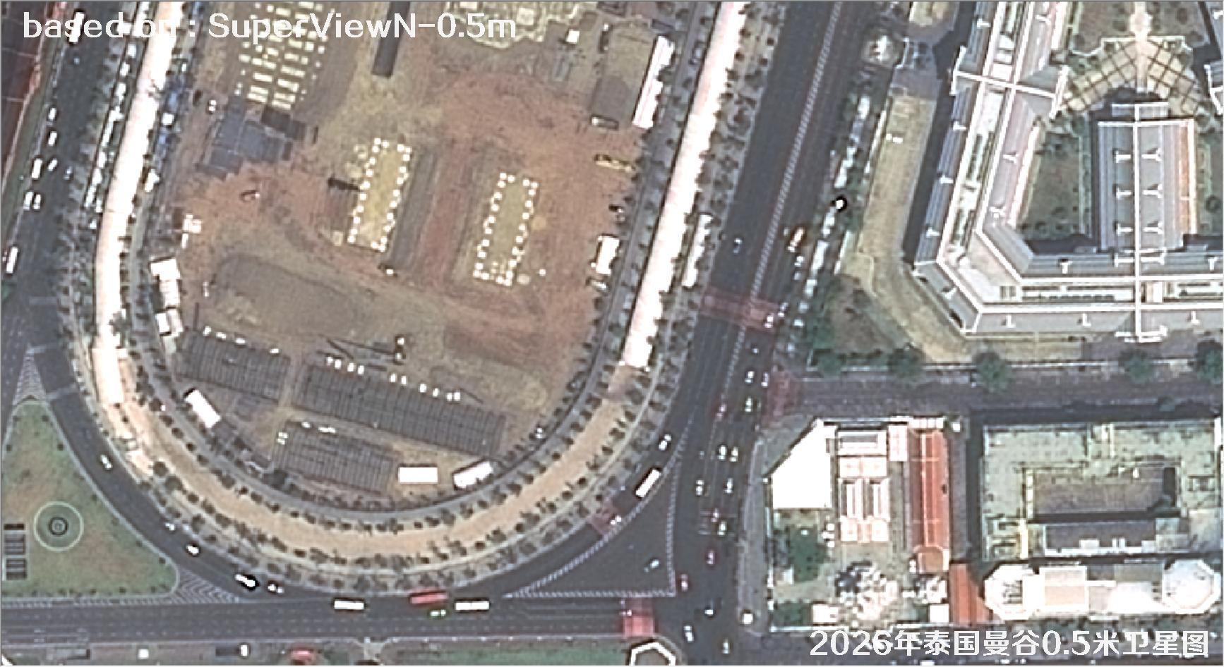
Fig. 29 — 0.5m SuperView satellite image of Bangkok, Thailand (2026), scene 29 of 38
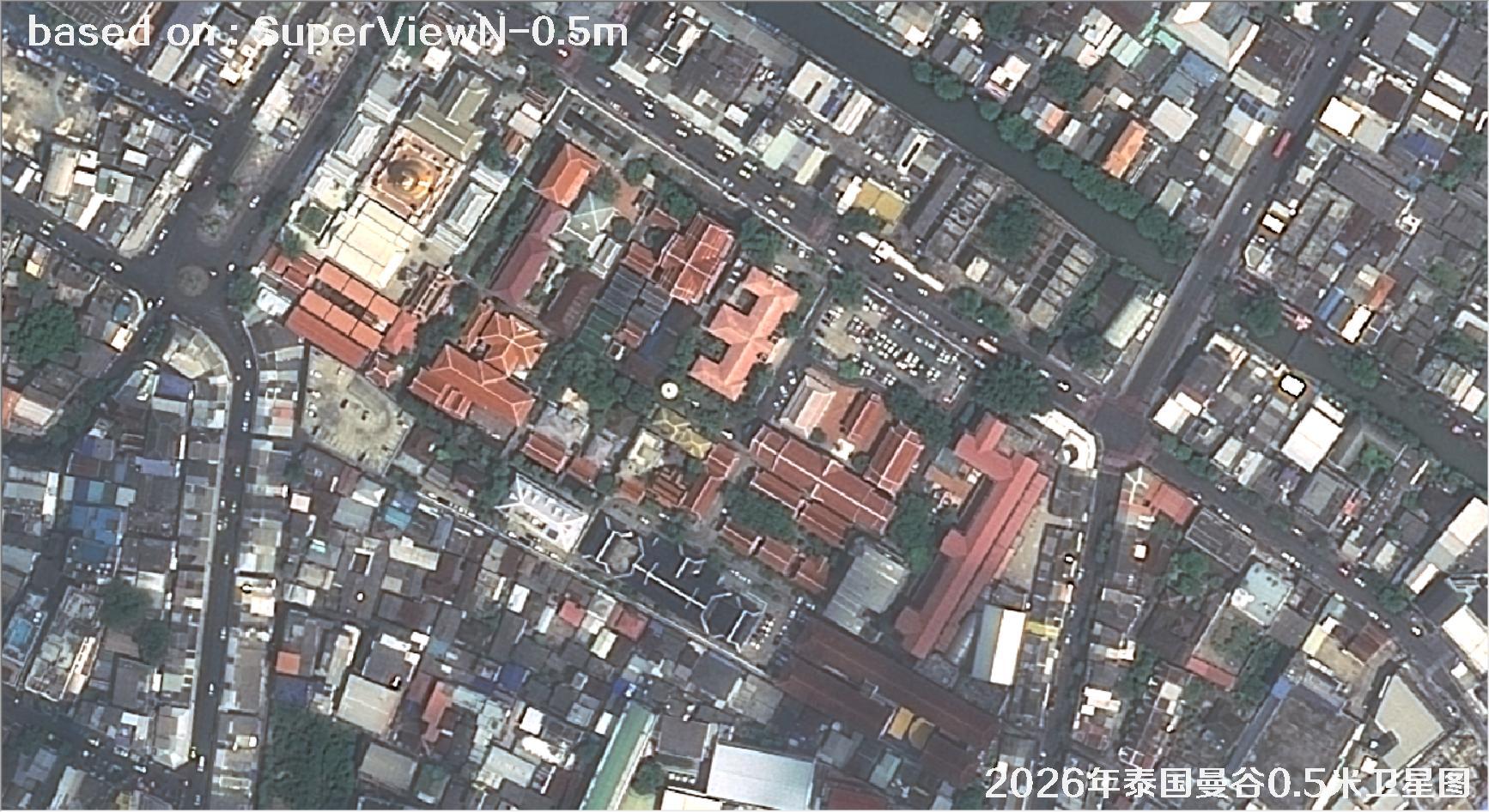
Fig. 30 — 0.5m SuperView satellite image of Bangkok, Thailand (2026), scene 30 of 38
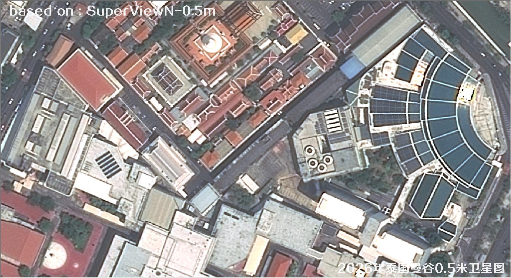
Fig. 31 — 0.5m SuperView satellite image of Bangkok, Thailand (2026), scene 31 of 38
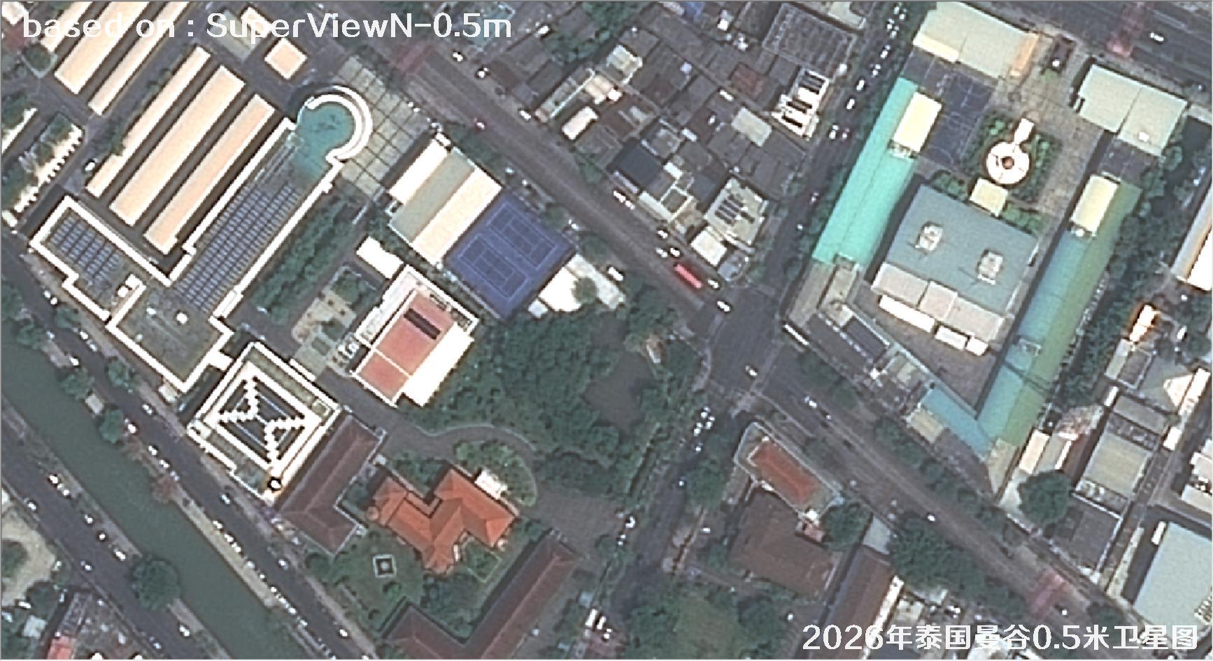
Fig. 32 — 0.5m SuperView satellite image of Bangkok, Thailand (2026), scene 32 of 38
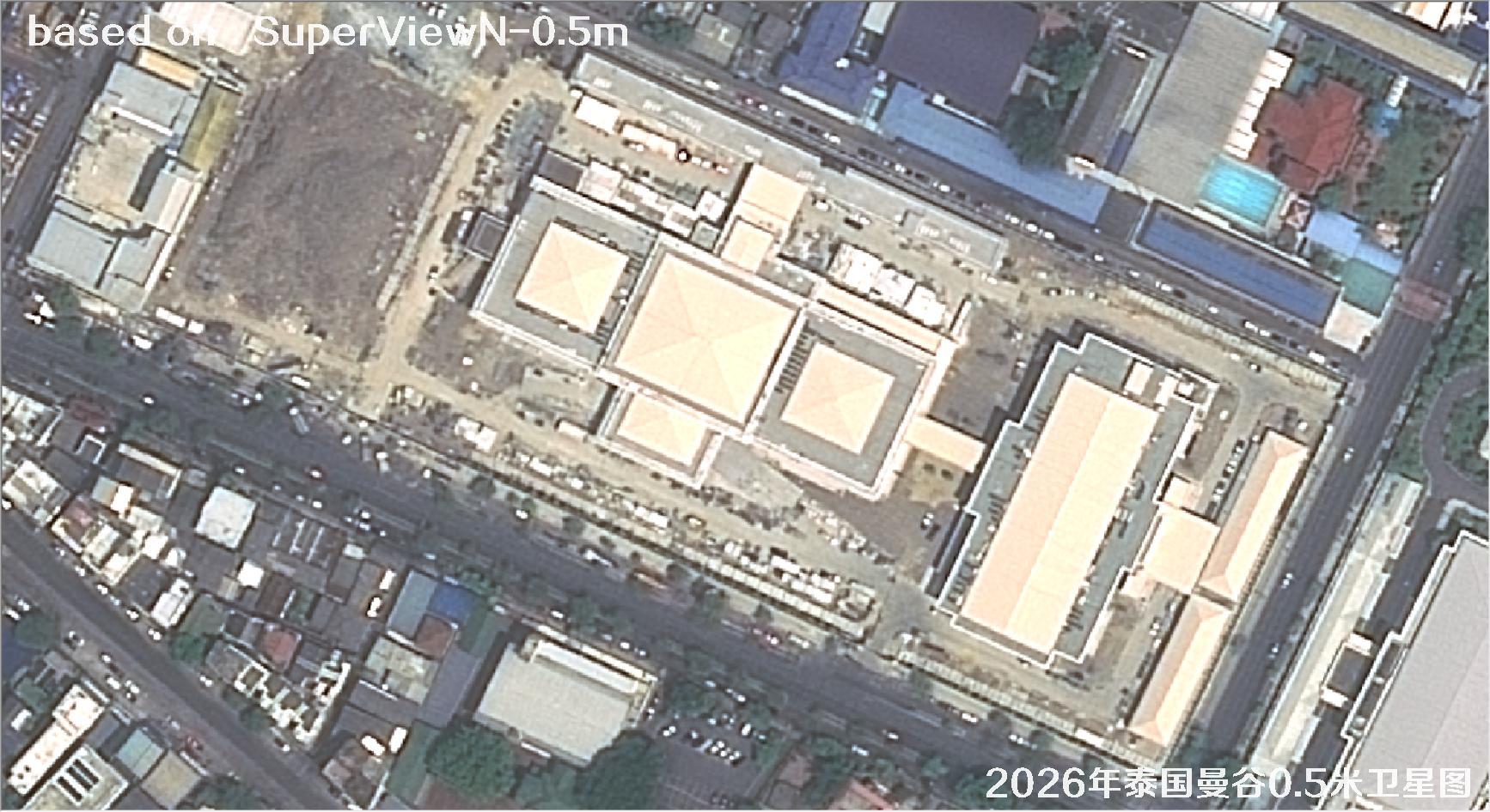
Fig. 33 — 0.5m SuperView satellite image of Bangkok, Thailand (2026), scene 33 of 38
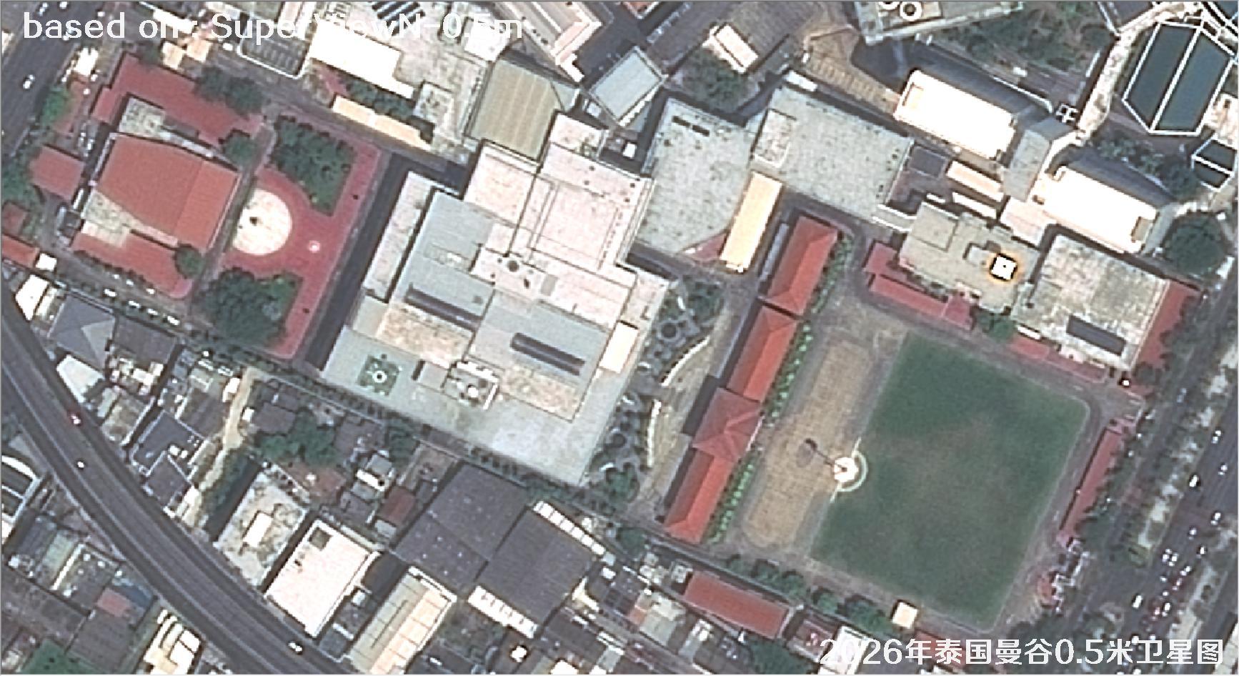
Fig. 34 — 0.5m SuperView satellite image of Bangkok, Thailand (2026), scene 34 of 38
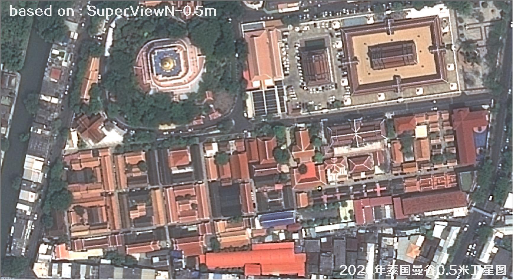
Fig. 35 — 0.5m SuperView satellite image of Bangkok, Thailand (2026), scene 35 of 38
Fig. 36 — 0.5m SuperViewN satellite image of Bangkok (detail view)
Fig. 37 — 0.5m SuperViewN satellite image of Bangkok (detail view)
Fig. 38 — 0.5m SuperViewN satellite image of Bangkok (detail view)
🛒 Buy 0.5m Satellite Imagery Now
Disclaimer: this is an original article. Reproduction without permission is prohibited; violators will be held liable. Original articles shall not be reproduced.