SuperView Satellite – Yulin City, Shaanxi Province (2018) 0.5m Imagery
📋 Dataset fact sheet
| 🌍 Country | China |
|---|---|
| 📍 Area | Yulin City, Shaanxi Province |
| 🛰️ Satellite / sensor | SuperView-1 (Gaojing-1), 0.5 m panchromatic + 2 m multispectral |
| 🗓️ Imaging date | December 2018 |
| 🔍 Resolution | 0.5 m |
| 🖼️ Scenes published here | 39 sample scenes (Fig. 1 – Fig. 39) |
| 🏢 Publisher | Beijing Yijingtu (contact staff / leave a message) |
📊 What 0.5 m reveals
💡 Typical uses: city mapping, land supervision, mining & environmental monitoring, planning approval, and evidence-grade historical baselines.
⚙️ At a glance
📍 Yulin, Shaanxi · 🗓️ Dec 2018 · 🔍 0.5 m
🛰️ SuperView-1 · 🖼️ 39 scenes · 🛒 Available to order
🛰️ 0.5m SuperView imagery of Yulin City, Shaanxi (2018) — 39 scenes:
Tip: click any image to enlarge (click, arrow keys, Esc, or prev / next buttons are supported).

Fig. 1 — 0.5m SuperView imagery of Yulin City, Shaanxi (2018), scene 1 of 39
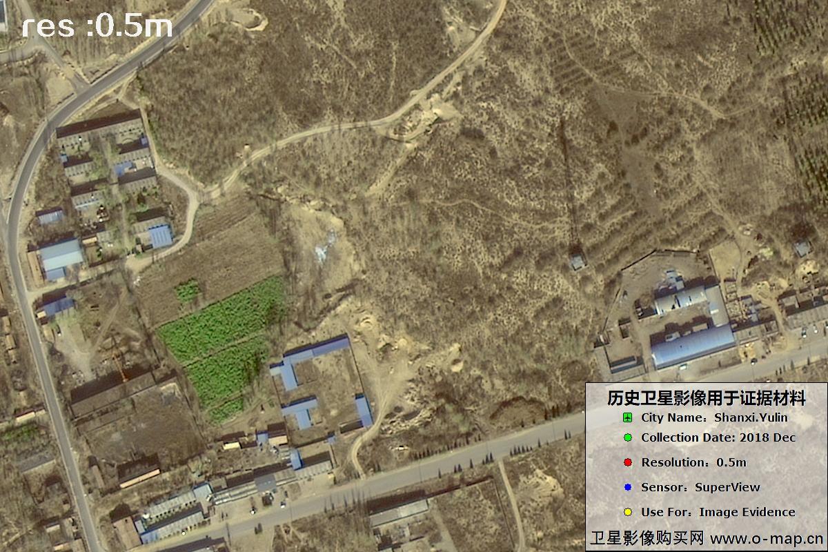
Fig. 2 — 0.5m SuperView imagery of Yulin City, Shaanxi (2018), scene 2 of 39
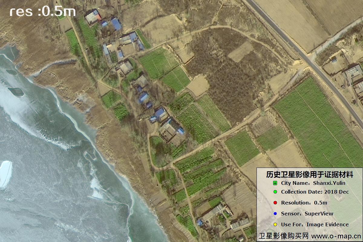
Fig. 3 — 0.5m SuperView imagery of Yulin City, Shaanxi (2018), scene 3 of 39
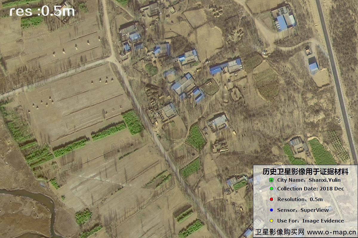
Fig. 4 — 0.5m SuperView imagery of Yulin City, Shaanxi (2018), scene 4 of 39
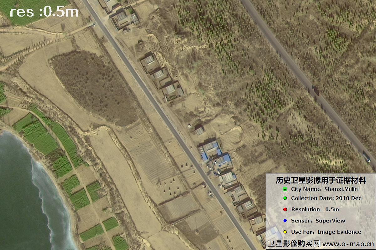
Fig. 5 — 0.5m SuperView imagery of Yulin City, Shaanxi (2018), scene 5 of 39
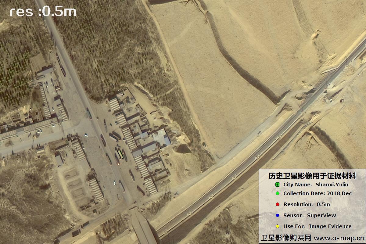
Fig. 6 — 0.5m SuperView imagery of Yulin City, Shaanxi (2018), scene 6 of 39
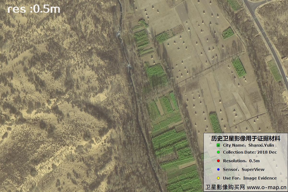
Fig. 7 — 0.5m SuperView imagery of Yulin City, Shaanxi (2018), scene 7 of 39
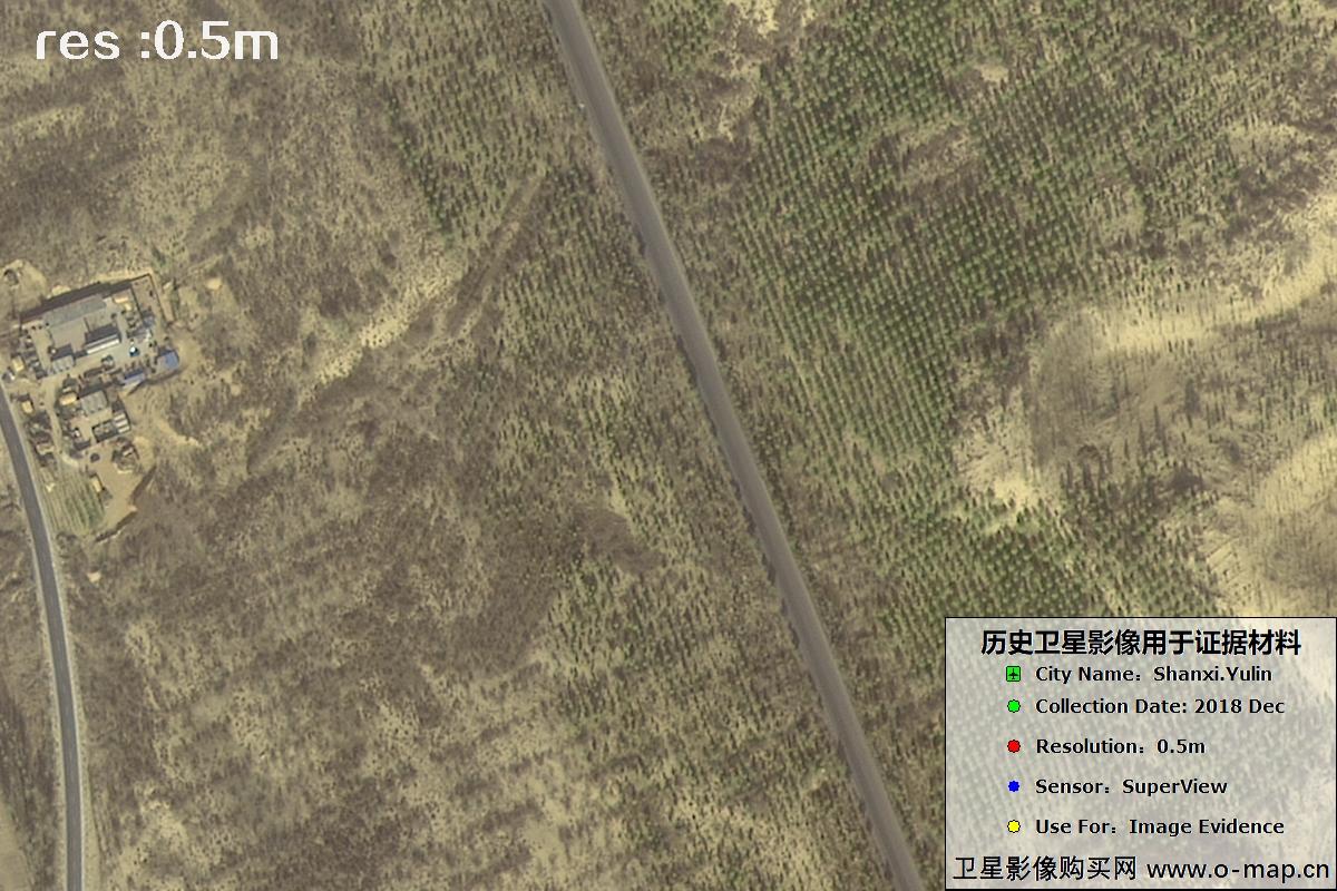
Fig. 8 — 0.5m SuperView imagery of Yulin City, Shaanxi (2018), scene 8 of 39
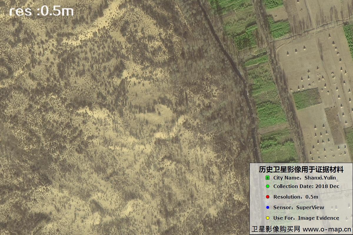
Fig. 9 — 0.5m SuperView imagery of Yulin City, Shaanxi (2018), scene 9 of 39
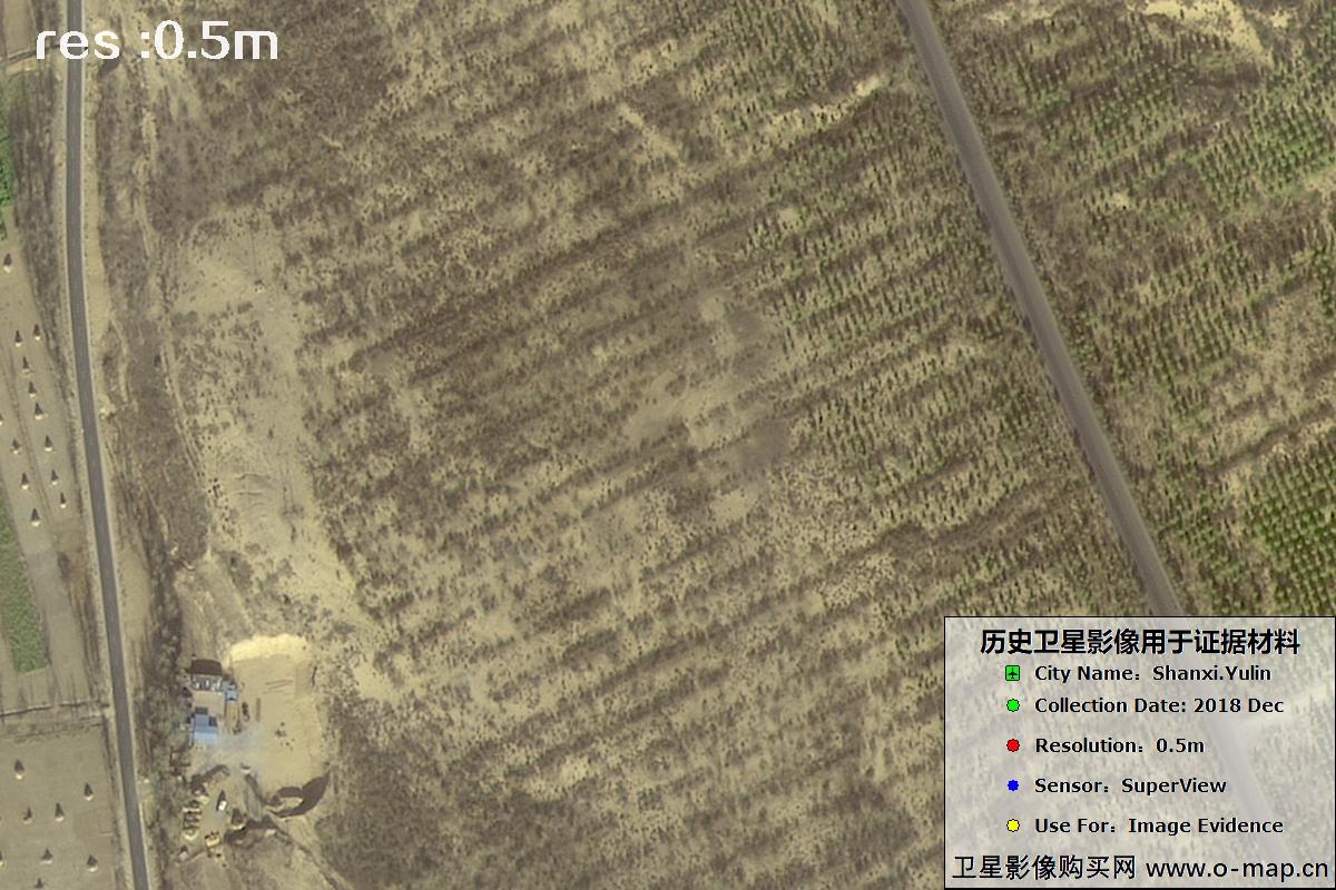
Fig. 10 — 0.5m SuperView imagery of Yulin City, Shaanxi (2018), scene 10 of 39
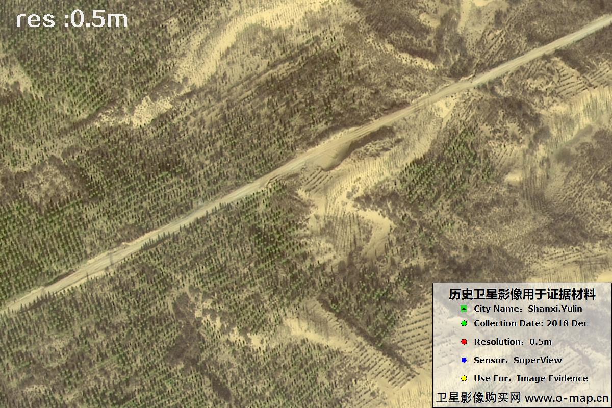
Fig. 11 — 0.5m SuperView imagery of Yulin City, Shaanxi (2018), scene 11 of 39
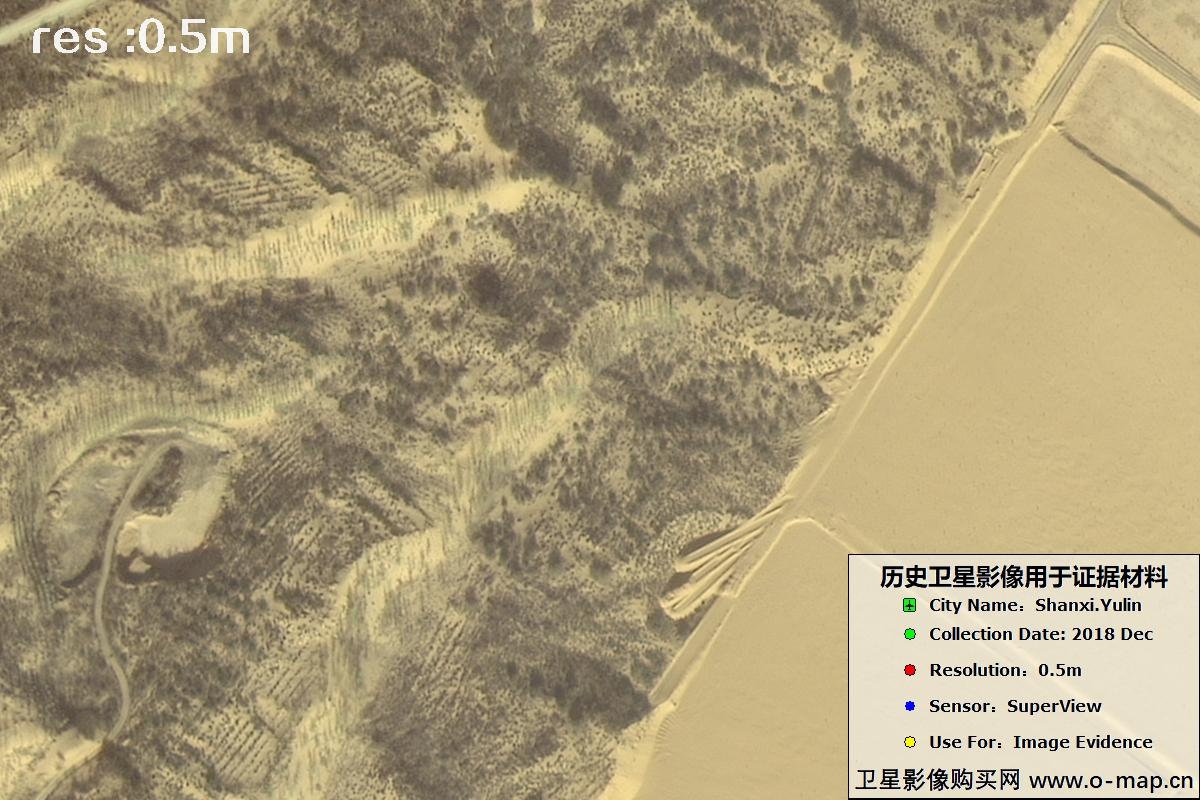
Fig. 12 — 0.5m SuperView imagery of Yulin City, Shaanxi (2018), scene 12 of 39

Fig. 13 — 0.5m SuperView imagery of Yulin City, Shaanxi (2018), scene 13 of 39
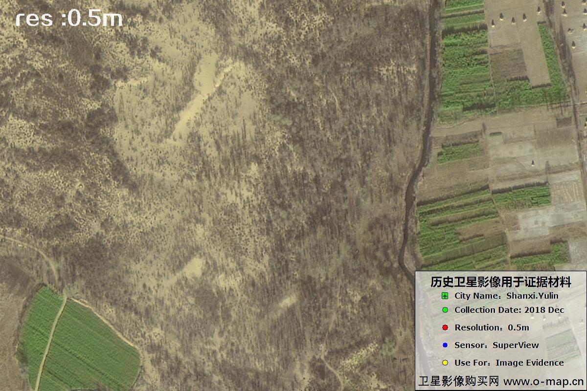
Fig. 14 — 0.5m SuperView imagery of Yulin City, Shaanxi (2018), scene 14 of 39
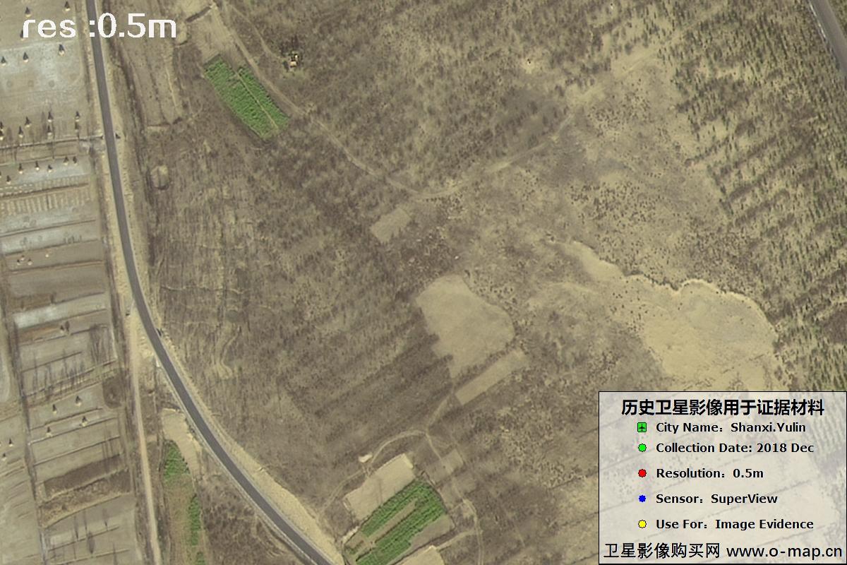
Fig. 15 — 0.5m SuperView imagery of Yulin City, Shaanxi (2018), scene 15 of 39
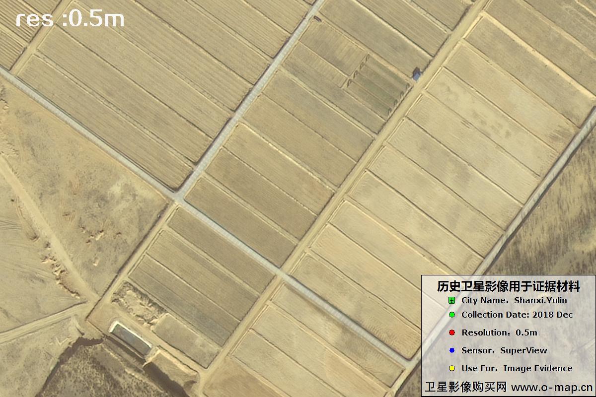
Fig. 16 — 0.5m SuperView imagery of Yulin City, Shaanxi (2018), scene 16 of 39
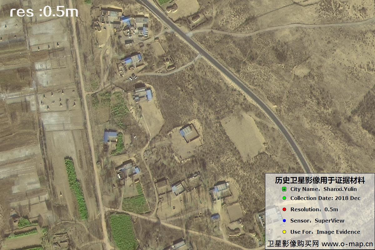
Fig. 17 — 0.5m SuperView imagery of Yulin City, Shaanxi (2018), scene 17 of 39
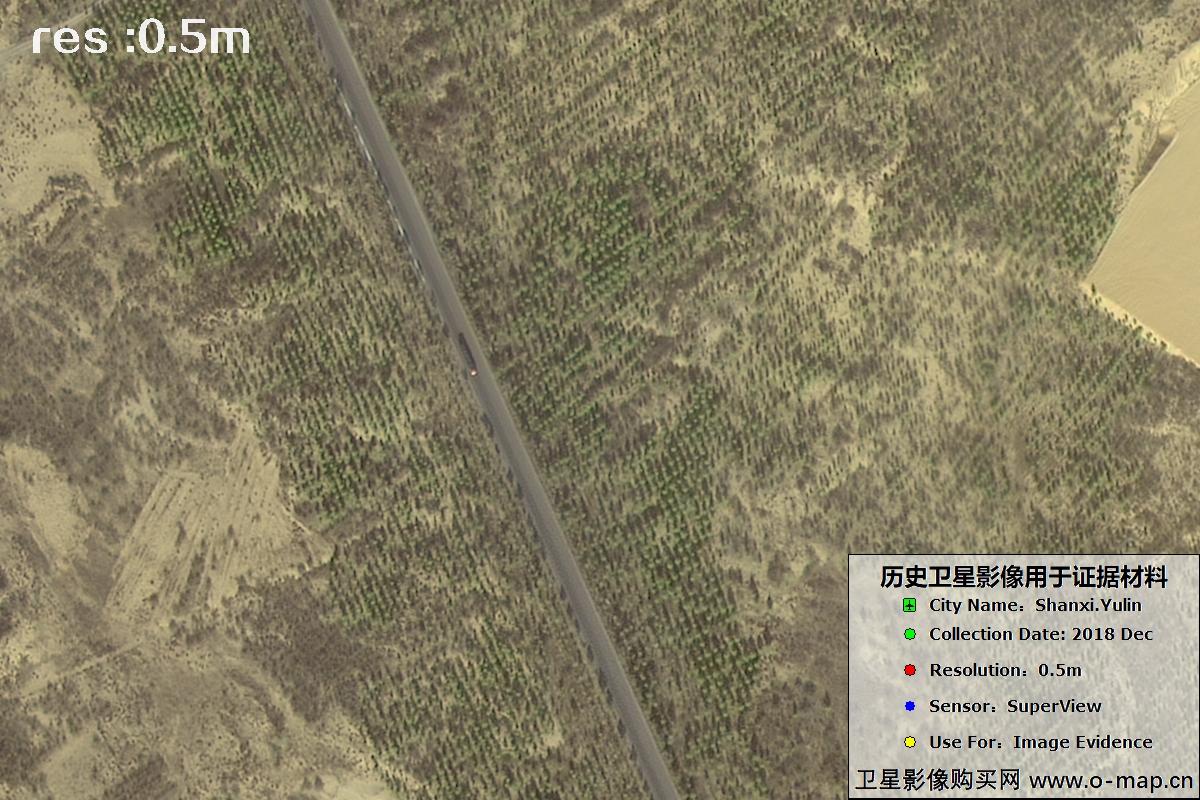
Fig. 18 — 0.5m SuperView imagery of Yulin City, Shaanxi (2018), scene 18 of 39
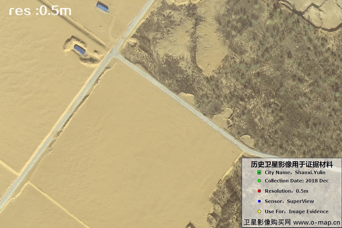
Fig. 19 — 0.5m SuperView imagery of Yulin City, Shaanxi (2018), scene 19 of 39
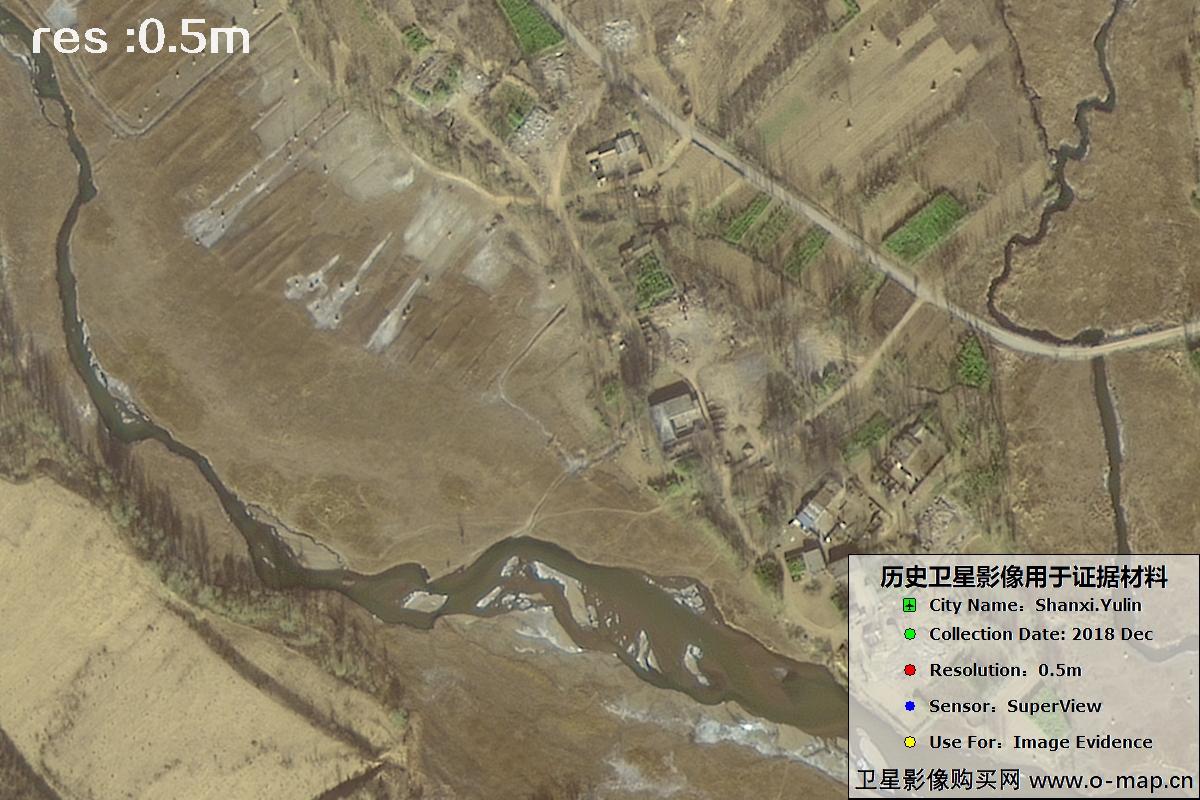
Fig. 20 — 0.5m SuperView imagery of Yulin City, Shaanxi (2018), scene 20 of 39
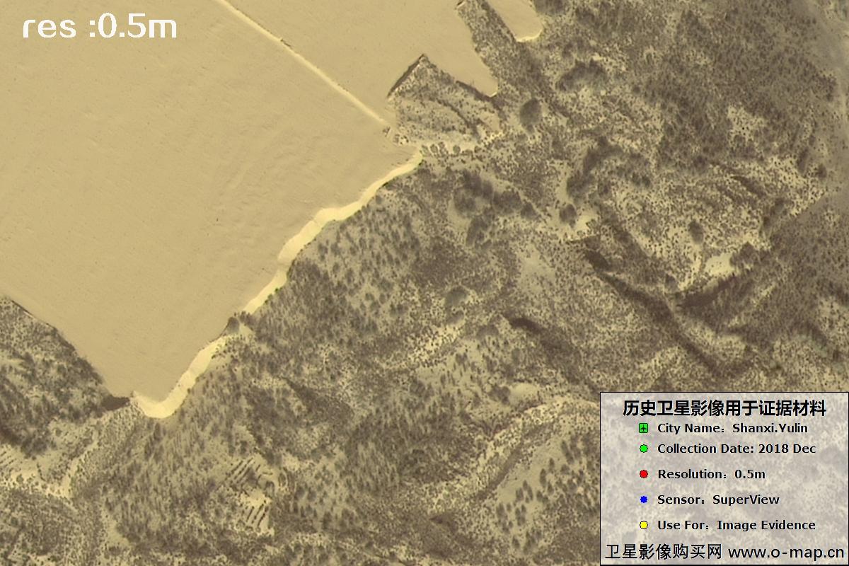
Fig. 21 — 0.5m SuperView imagery of Yulin City, Shaanxi (2018), scene 21 of 39
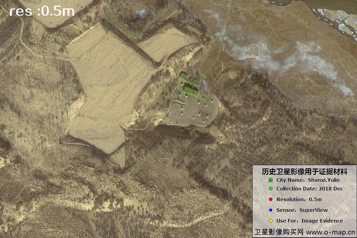
Fig. 22 — 0.5m SuperView imagery of Yulin City, Shaanxi (2018), scene 22 of 39
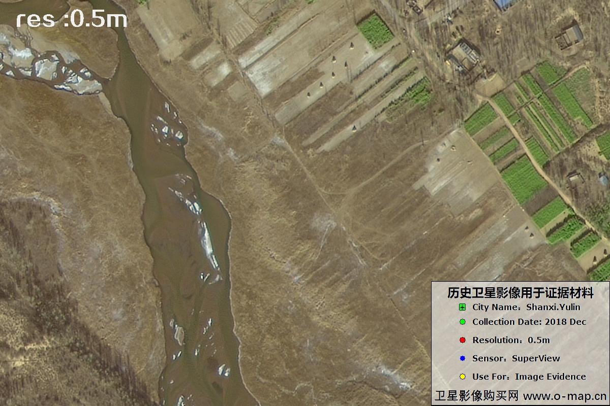
Fig. 23 — 0.5m SuperView imagery of Yulin City, Shaanxi (2018), scene 23 of 39

Fig. 24 — 0.5m SuperView imagery of Yulin City, Shaanxi (2018), scene 24 of 39
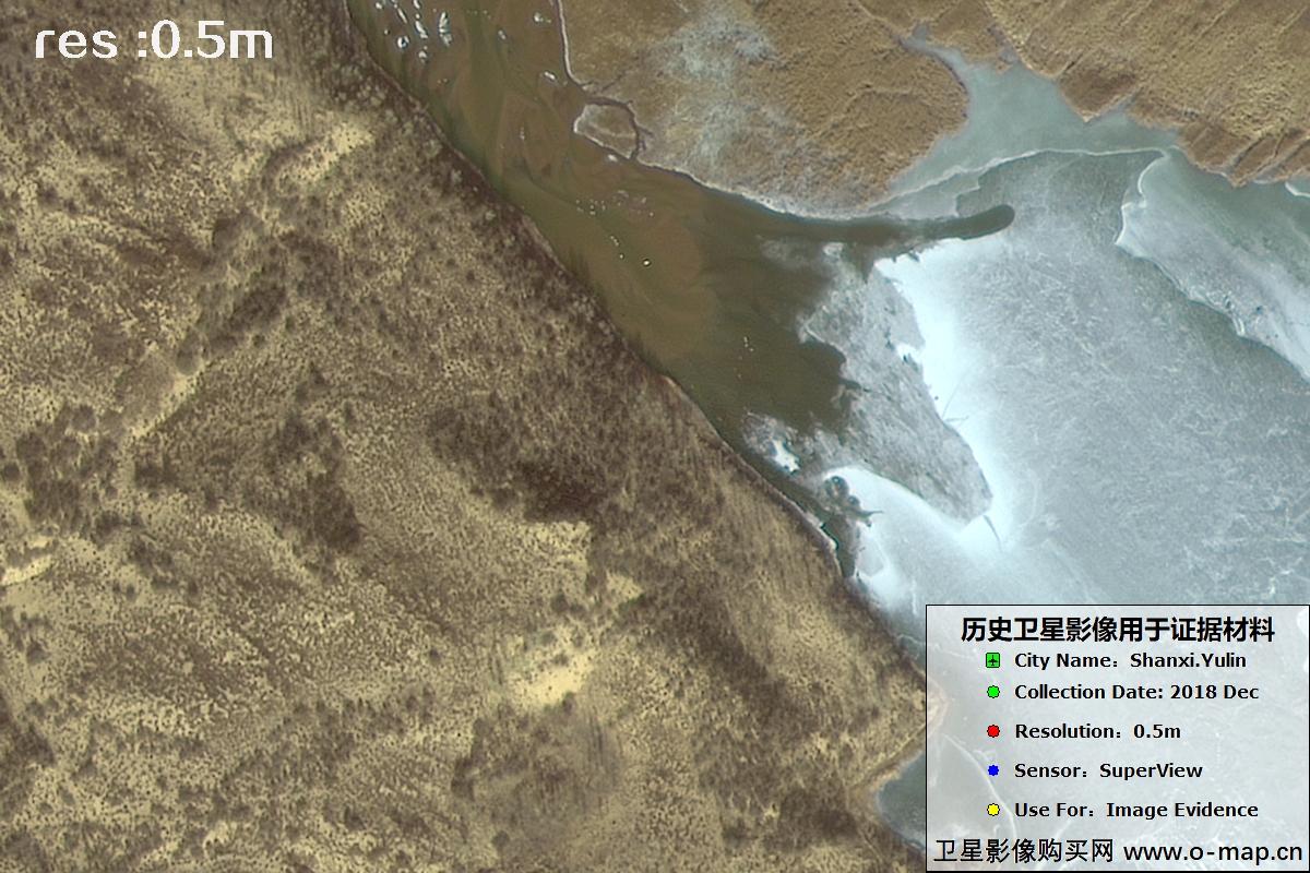
Fig. 25 — 0.5m SuperView imagery of Yulin City, Shaanxi (2018), scene 25 of 39
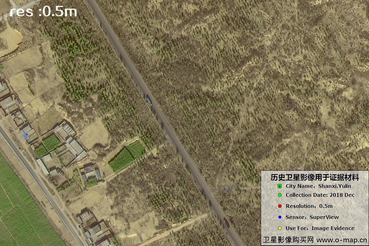
Fig. 26 — 0.5m SuperView imagery of Yulin City, Shaanxi (2018), scene 26 of 39
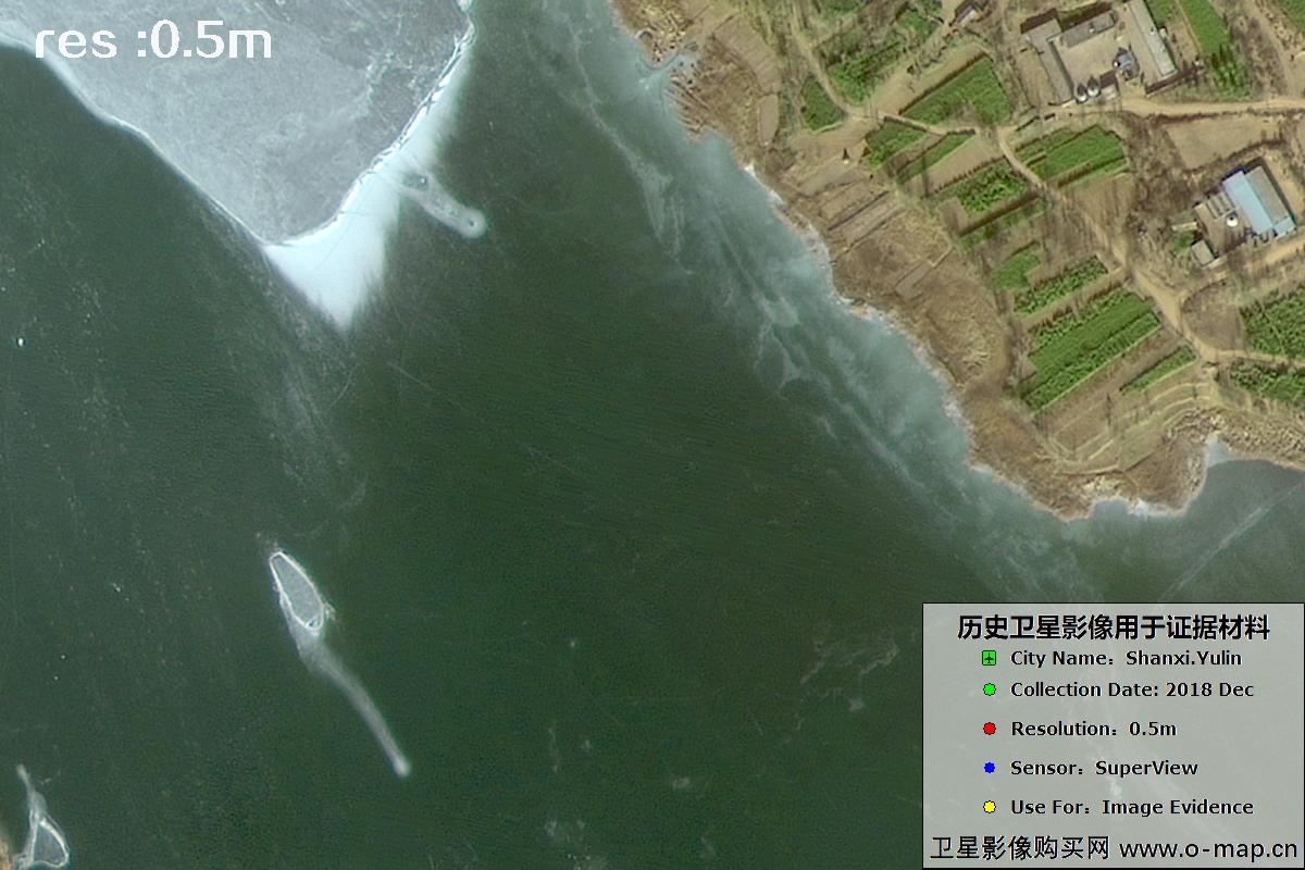
Fig. 27 — 0.5m SuperView imagery of Yulin City, Shaanxi (2018), scene 27 of 39
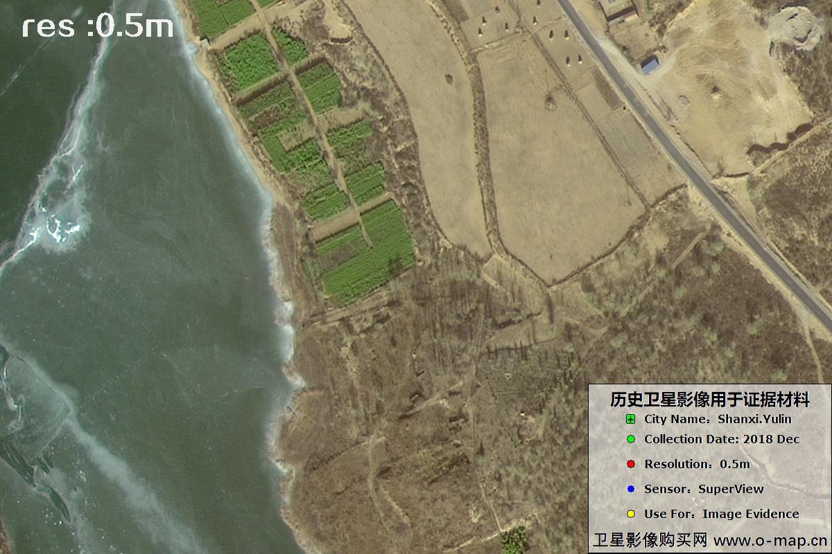
Fig. 28 — 0.5m SuperView imagery of Yulin City, Shaanxi (2018), scene 28 of 39
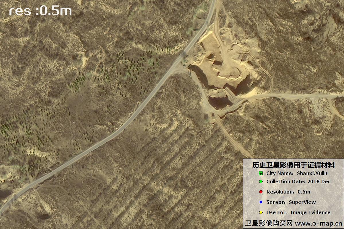
Fig. 29 — 0.5m SuperView imagery of Yulin City, Shaanxi (2018), scene 29 of 39

Fig. 30 — 0.5m SuperView imagery of Yulin City, Shaanxi (2018), scene 30 of 39
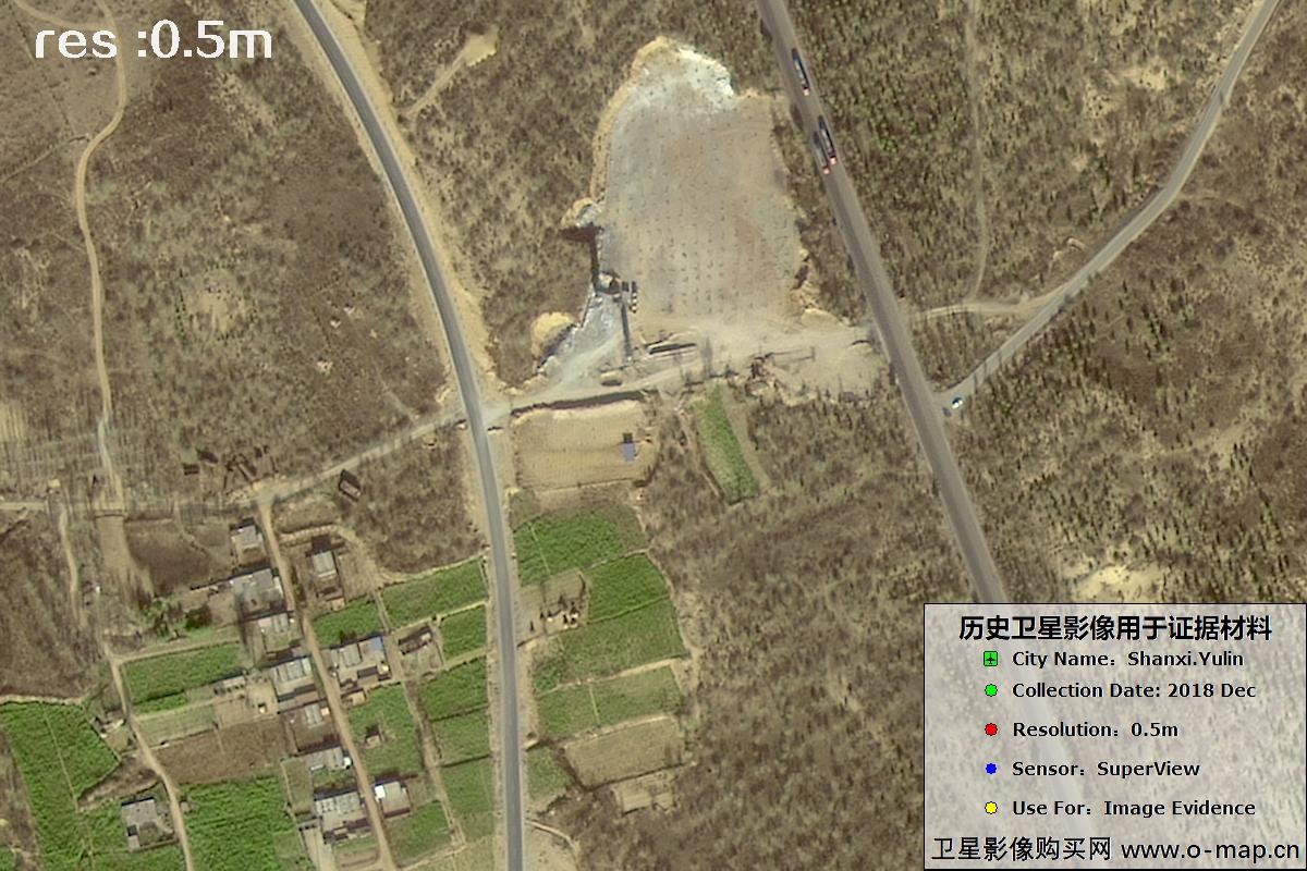
Fig. 31 — 0.5m SuperView imagery of Yulin City, Shaanxi (2018), scene 31 of 39
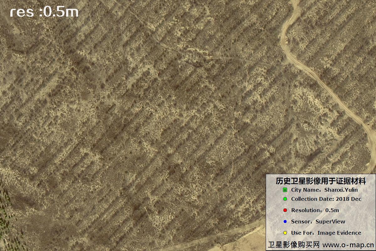
Fig. 32 — 0.5m SuperView imagery of Yulin City, Shaanxi (2018), scene 32 of 39
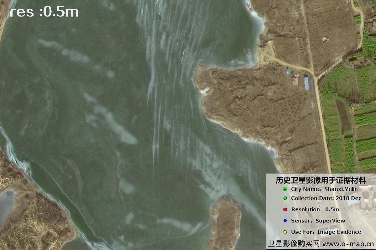
Fig. 33 — 0.5m SuperView imagery of Yulin City, Shaanxi (2018), scene 33 of 39
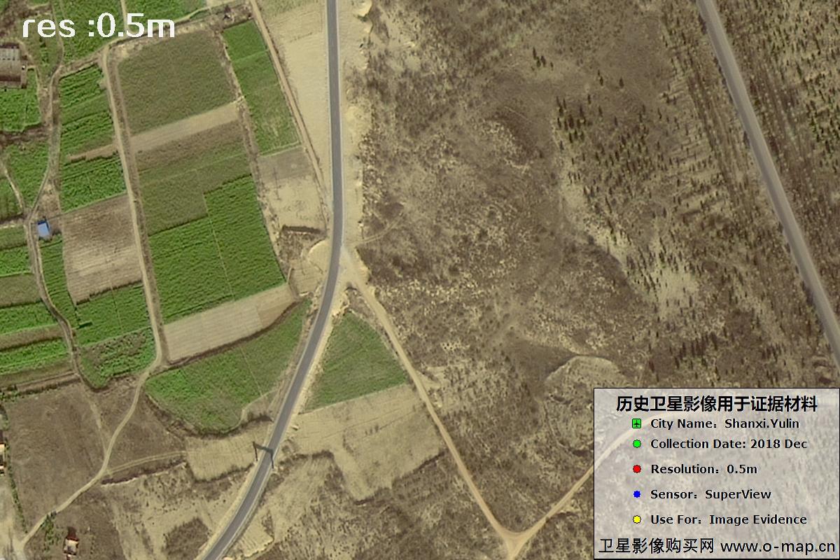
Fig. 34 — 0.5m SuperView imagery of Yulin City, Shaanxi (2018), scene 34 of 39
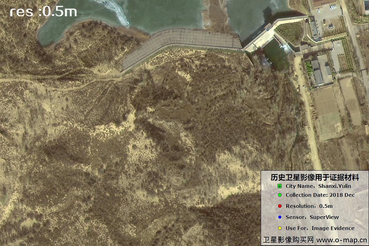
Fig. 35 — 0.5m SuperView imagery of Yulin City, Shaanxi (2018), scene 35 of 39
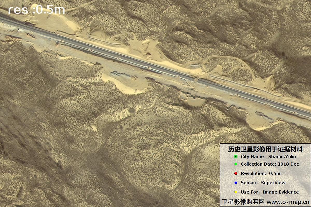
Fig. 36 — 0.5m SuperView imagery of Yulin City, Shaanxi (2018), scene 36 of 39
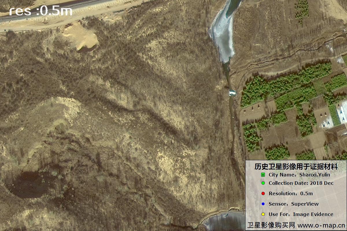
Fig. 37 — 0.5m SuperView imagery of Yulin City, Shaanxi (2018), scene 37 of 39
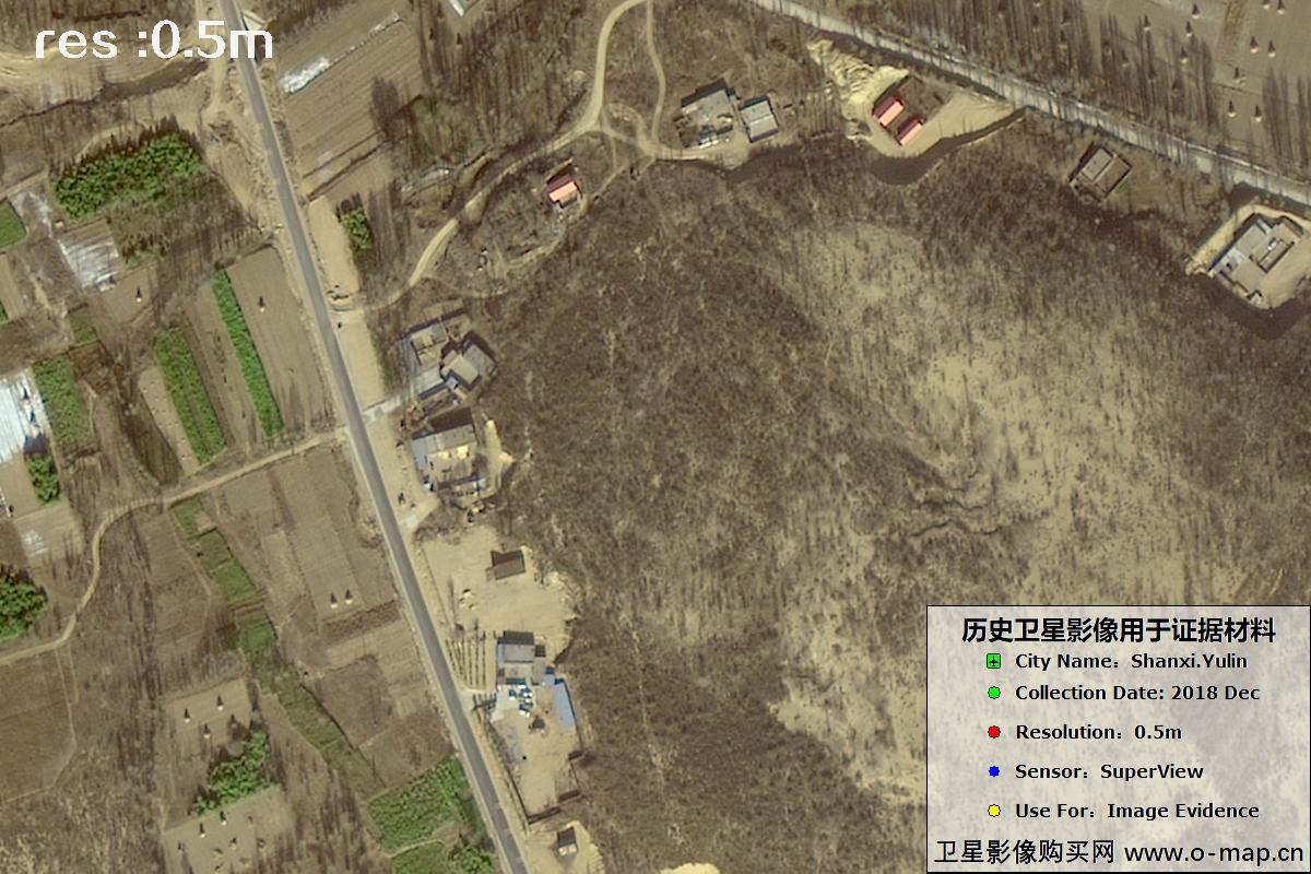
Fig. 38 — 0.5m SuperView imagery of Yulin City, Shaanxi (2018), scene 38 of 39
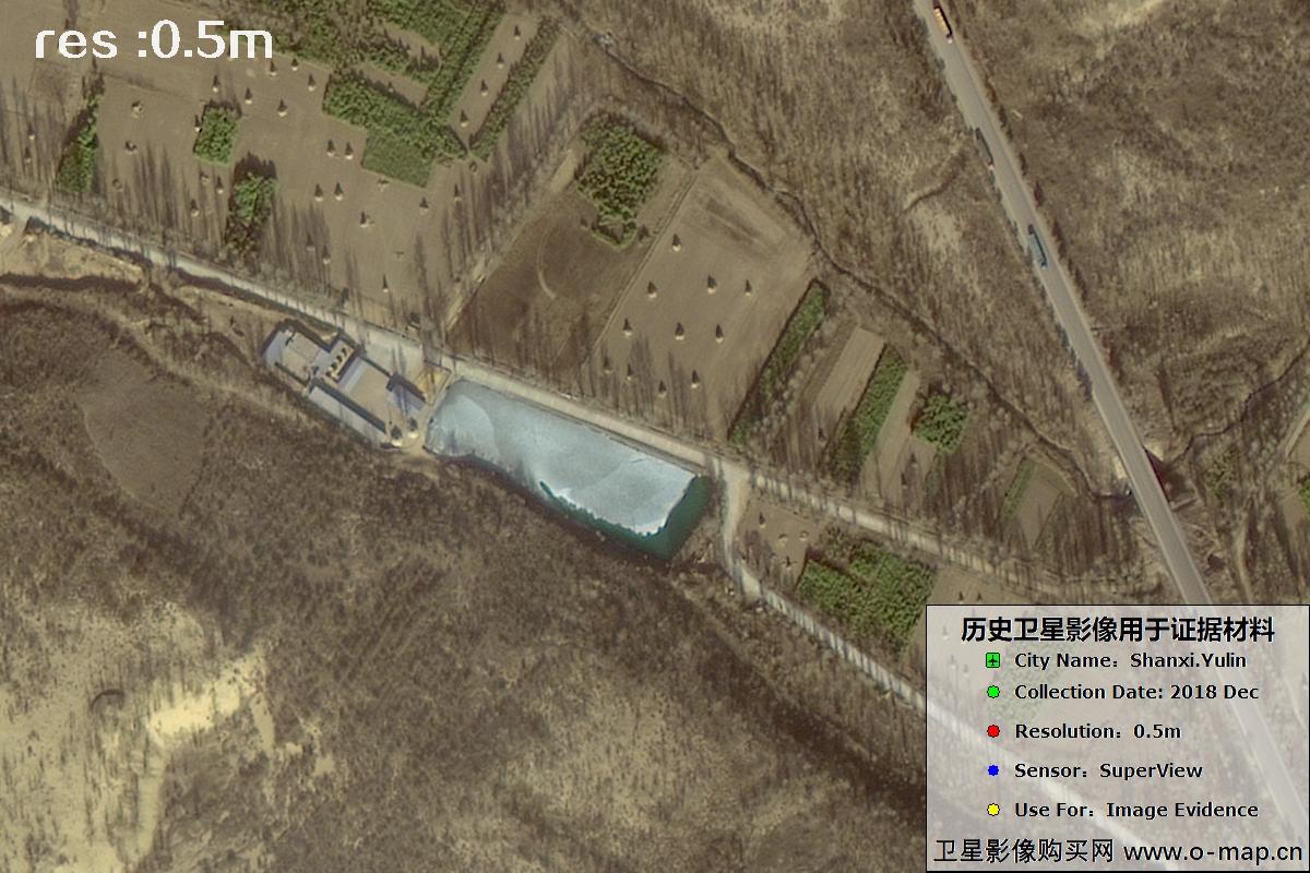
Fig. 39 — 0.5m SuperView imagery of Yulin City, Shaanxi (2018), scene 39 of 39
🛒 Buy This Satellite Imagery Now
Disclaimer: this is an original article. Reproduction without permission is prohibited; violators will be held liable. Original articles shall not be reproduced.