SatelliteWorldView-Legion
SATELLITE IMAGERY · SICHUAN, CHINA
2026 Deyang, Sichuan
WorldView-Legion 0.3 m Satellite Imagery
Explore the urban fabric, fields and changing landscape of Deyang from orbit.
Capture periodLatest 2026 imagery
LocationDeyang, Sichuan, China
PurposeAccess recent satellite imagery
THE CITY FROM ABOVE
Deyang from a satellite perspective
Making information about the land easier to see
Deyang lies in the northeastern part of the Chengdu Plain in the Sichuan Basin. It is known for advanced manufacturing as well as a rich cultural heritage, while plains, rivers, towns and farmland shape its distinctive landscape. Satellite imagery of Deyang captured in 2026 offers a useful spatial reference for observing urban development, surveying land use, planning infrastructure, and monitoring agriculture and the environment. High-resolution imagery can help distinguish roads, building outlines, field patterns and other surface details. Comparing imagery from different dates can also support the identification of possible changes. Satellite imagery does not replace field surveys; rather, it adds a broad and consistent visual context for planning, research and decision-making. The images below show the latest Deyang imagery captured by WVLegion in 2026 at 0.3-meter resolution.
SATELLITE PROFILE
Flexible revisit for continued Earth observation
WorldView-Legion is a new-generation commercial Earth-observation satellite constellation designed for high-resolution imaging. Coordinated satellites can improve task scheduling and revisit opportunities, supporting detailed imagery for cities, agriculture, transport and the environment. Actual acquisition dates, coverage and product specifications depend on available data and service confirmation.
30cmReference maximum panchromatic resolution
Spatial resolution0.3 m classDetailed surface observation
Launch periodFrom 2024Legion satellites deployed in phases
Satellite typeOptical Earth observation
ObservationMulti-angle imaging
These are overview-level specifications based on public information. Confirm the available imaging mode, product level and orderable specifications against the actual project data.
HIGH-RESOLUTION IMAGE COLLECTION
2026 Satellite Images of Deyang 30 images
Select an image to enlarge it
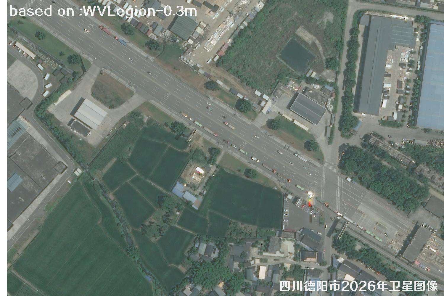 WV · 01
Image 1 of 30WV LEGION · 2026
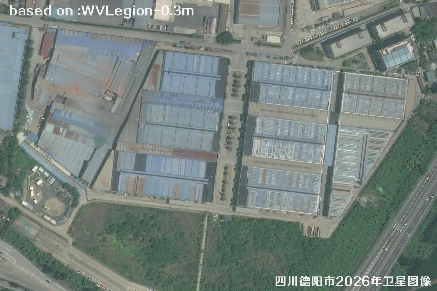 WV · 02
Image 2 of 30WV LEGION · 2026
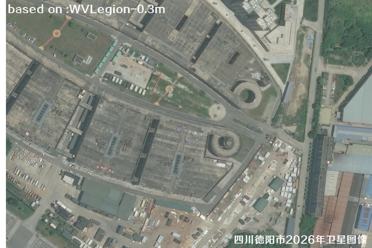 WV · 03
Image 3 of 30WV LEGION · 2026
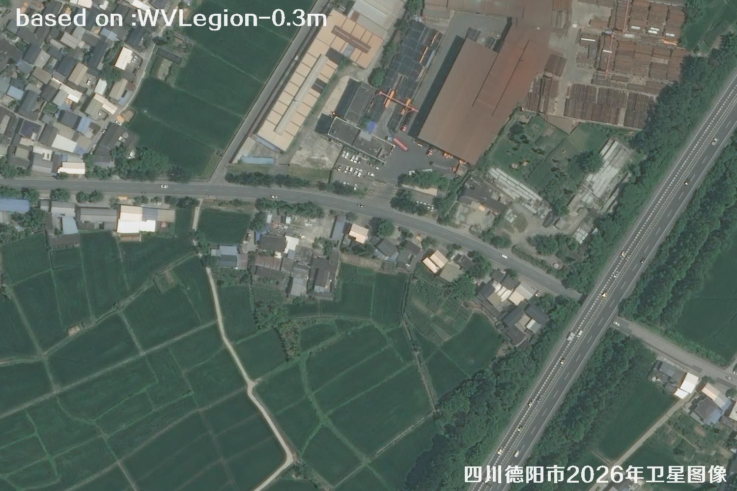 WV · 04
Image 4 of 30WV LEGION · 2026
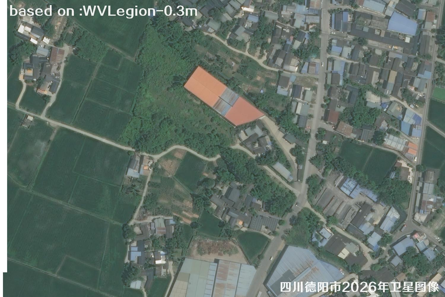 WV · 05
Image 5 of 30WV LEGION · 2026
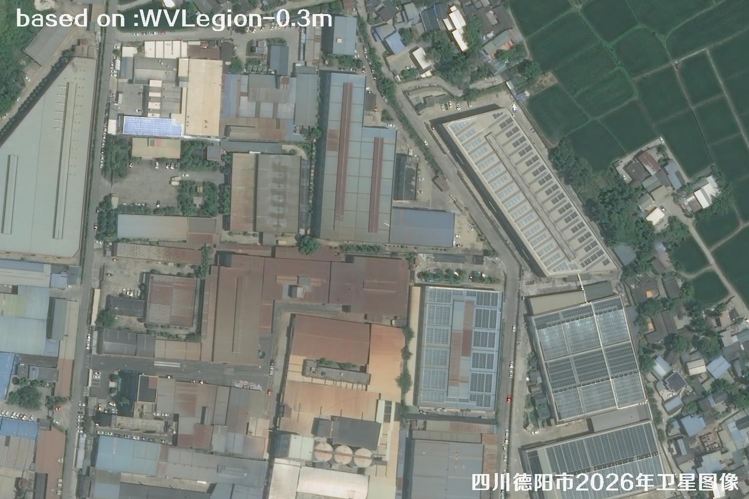 WV · 06
Image 6 of 30WV LEGION · 2026
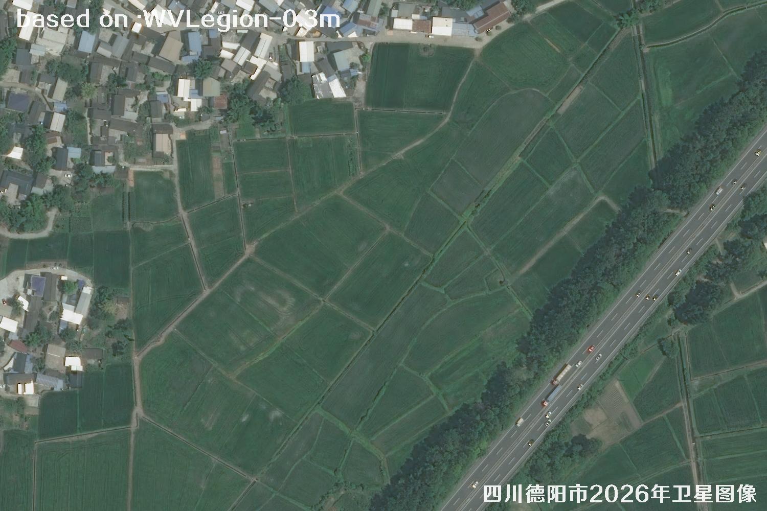 WV · 07
Image 7 of 30WV LEGION · 2026
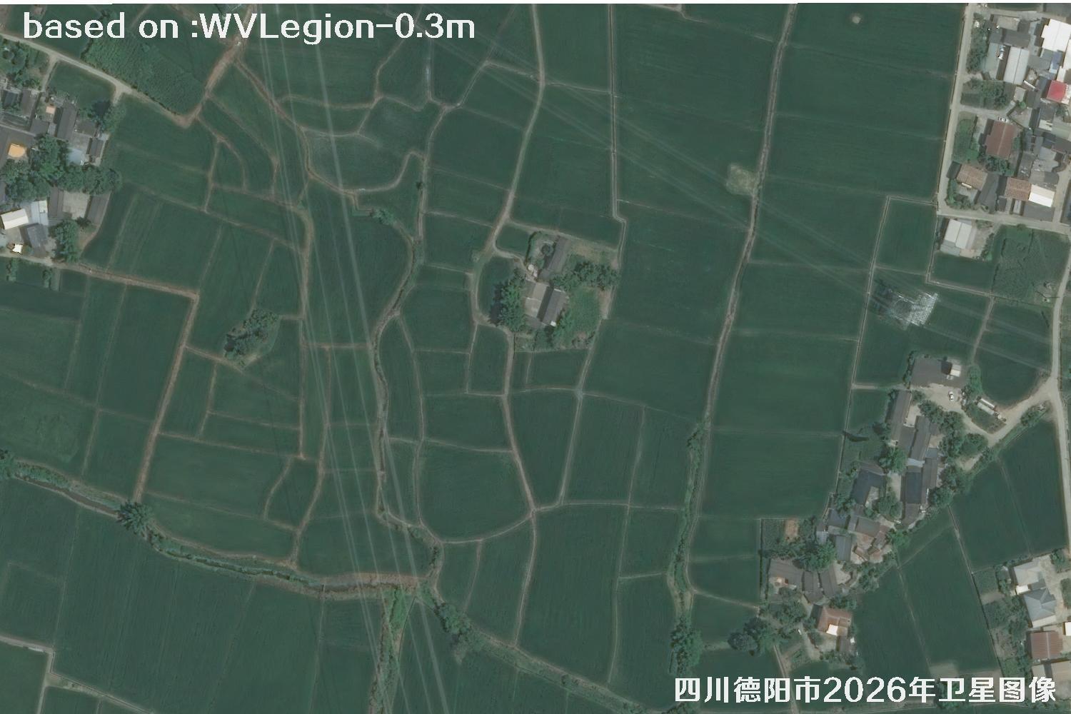 WV · 08
Image 8 of 30WV LEGION · 2026
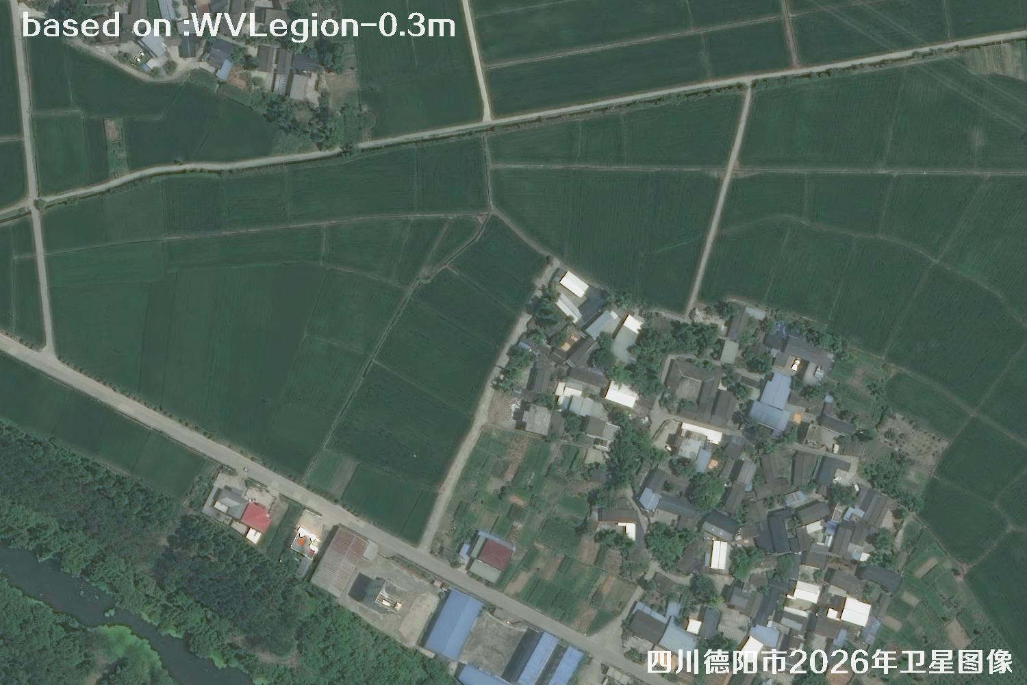 WV · 09
Image 9 of 30WV LEGION · 2026
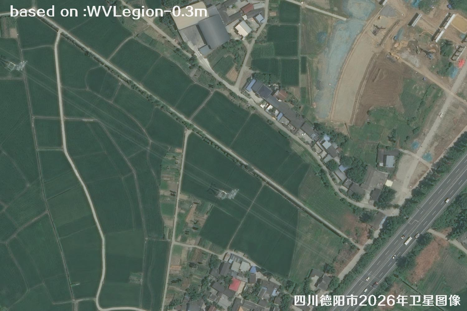 WV · 10
Image 10 of 30WV LEGION · 2026
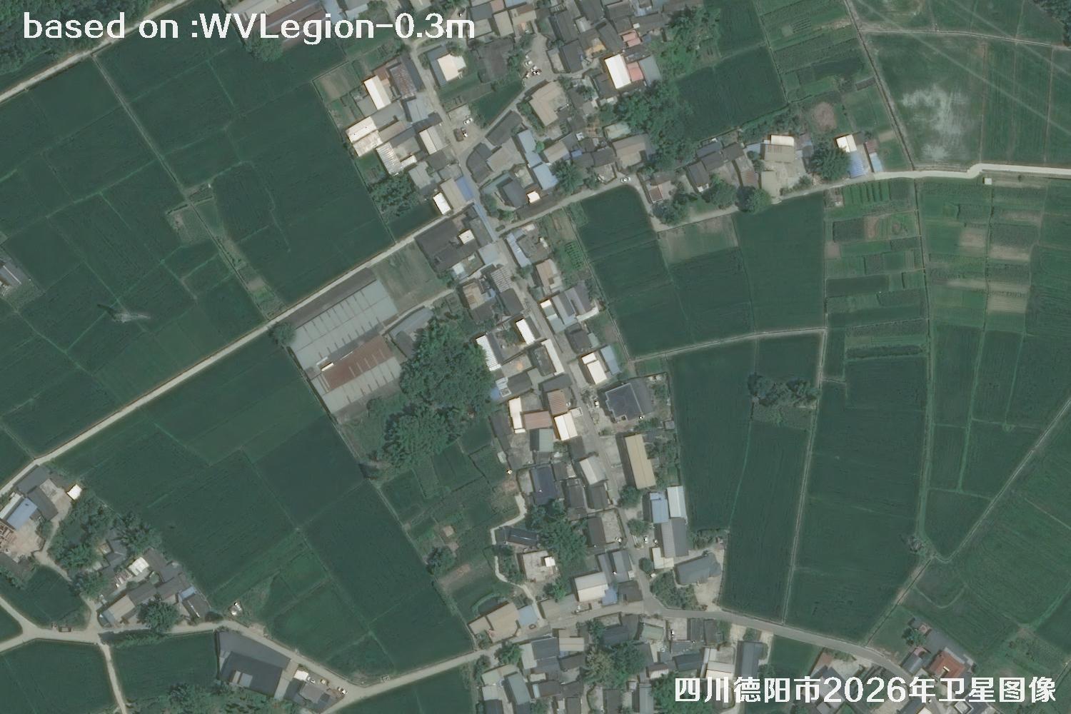 WV · 11
Image 11 of 30WV LEGION · 2026
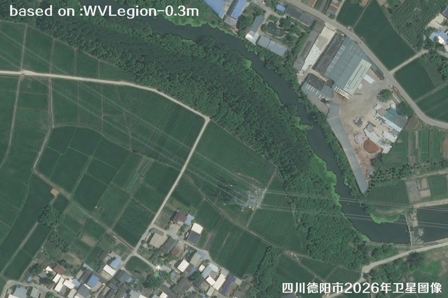 WV · 12
Image 12 of 30WV LEGION · 2026
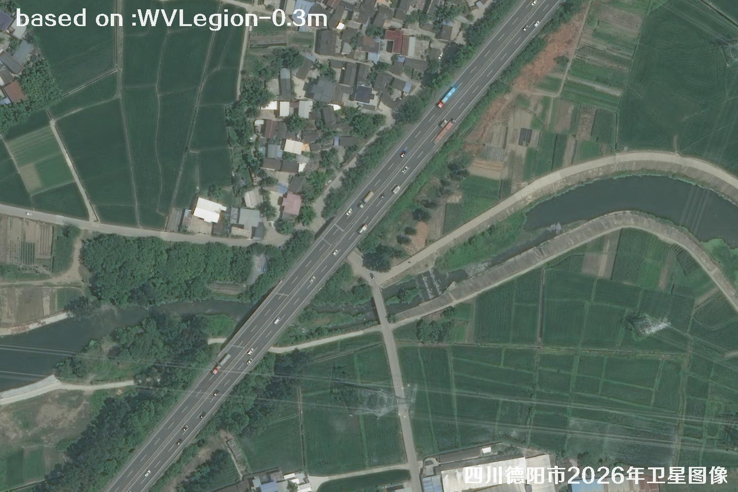 WV · 13
Image 13 of 30WV LEGION · 2026
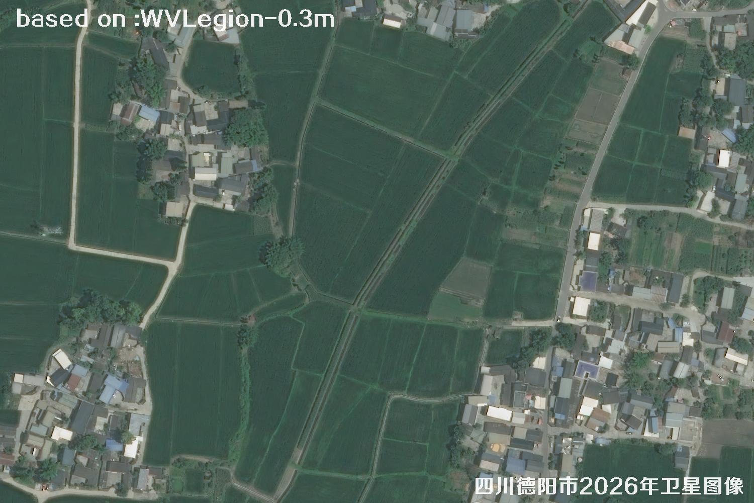 WV · 14
Image 14 of 30WV LEGION · 2026
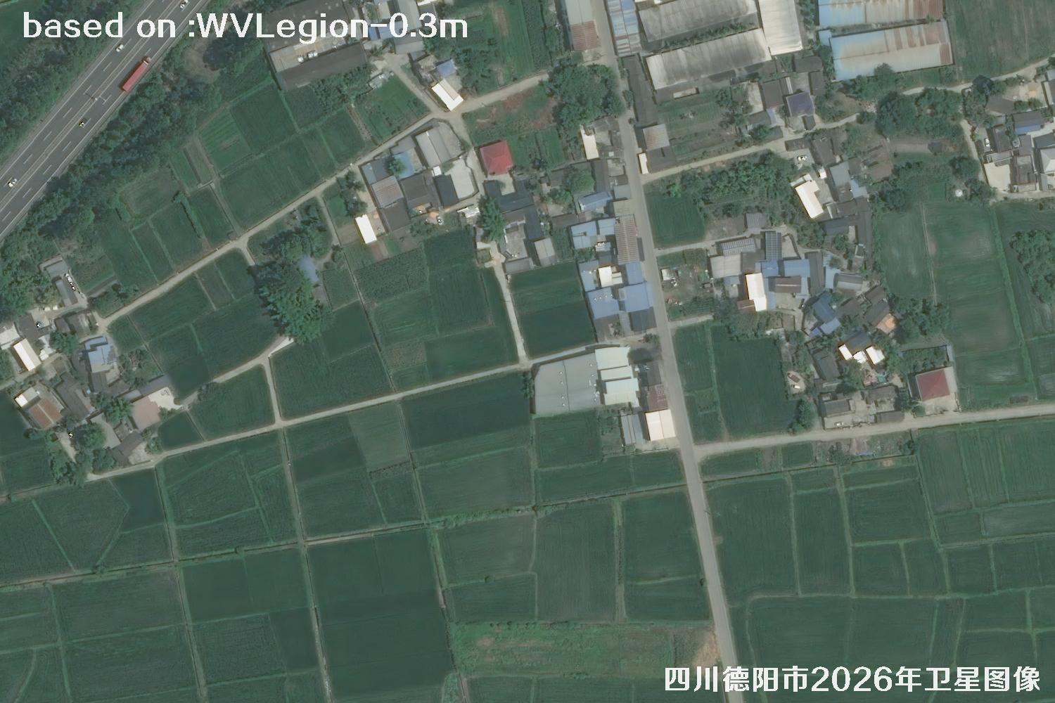 WV · 15
Image 15 of 30WV LEGION · 2026
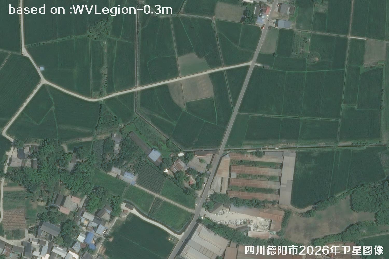 WV · 16
Image 16 of 30WV LEGION · 2026
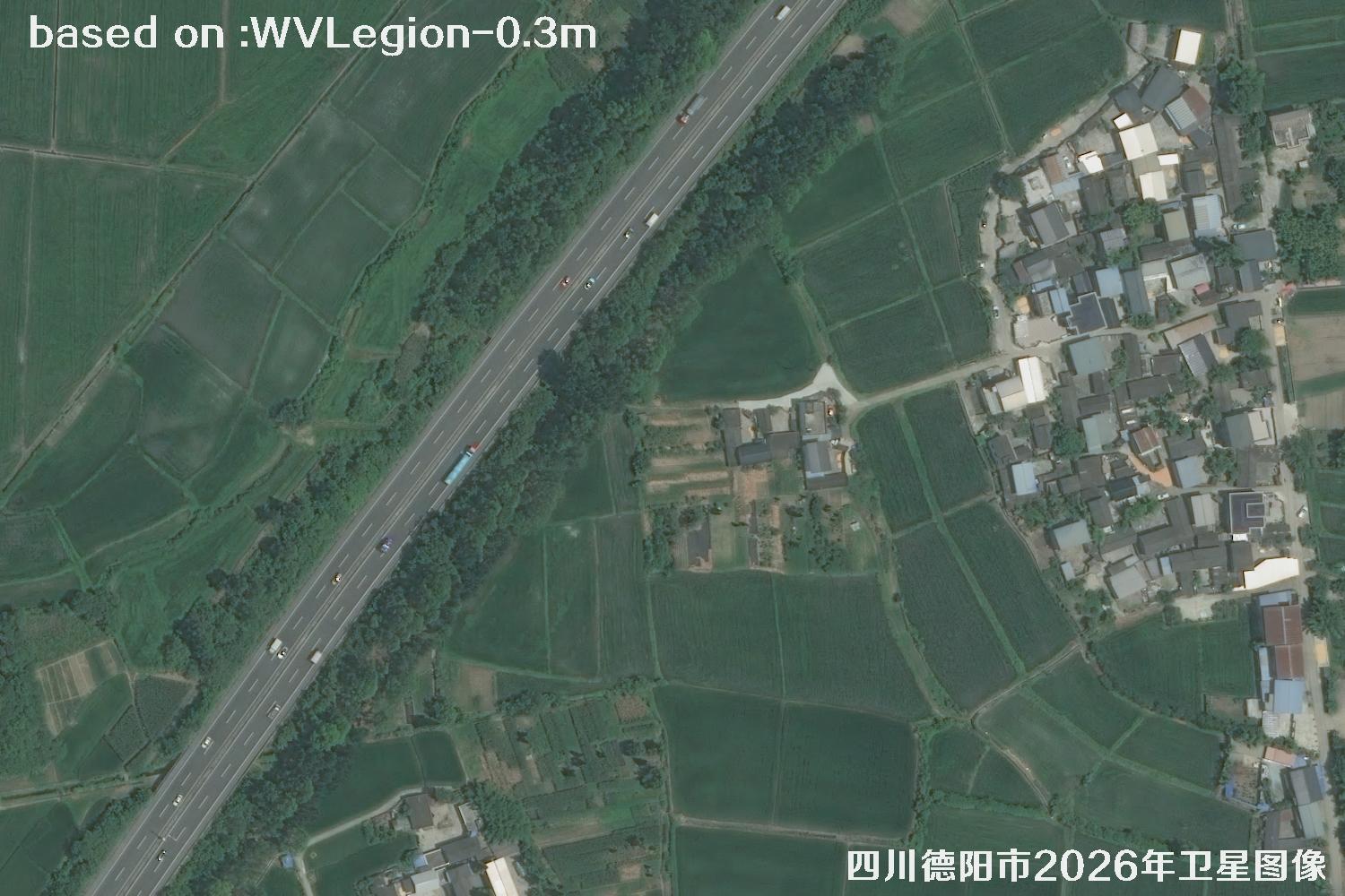 WV · 17
Image 17 of 30WV LEGION · 2026
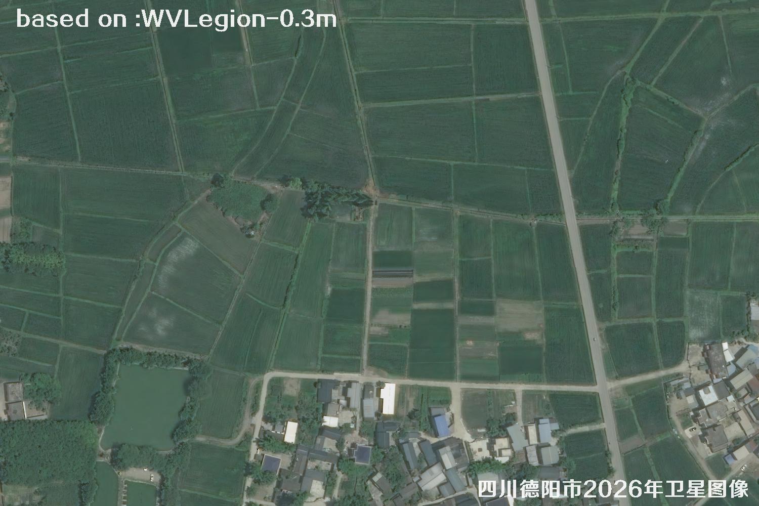 WV · 18
Image 18 of 30WV LEGION · 2026
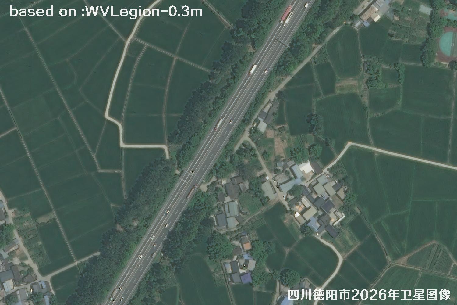 WV · 19
Image 19 of 30WV LEGION · 2026
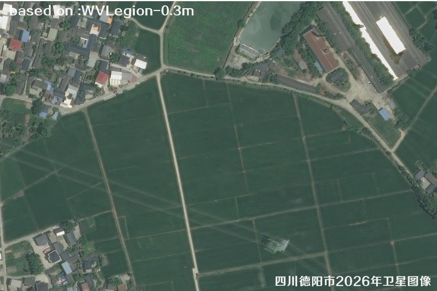 WV · 20
Image 20 of 30WV LEGION · 2026
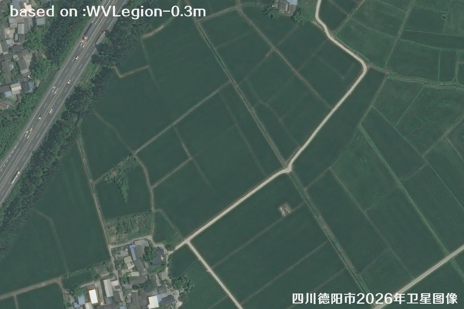 WV · 21
Image 21 of 30WV LEGION · 2026
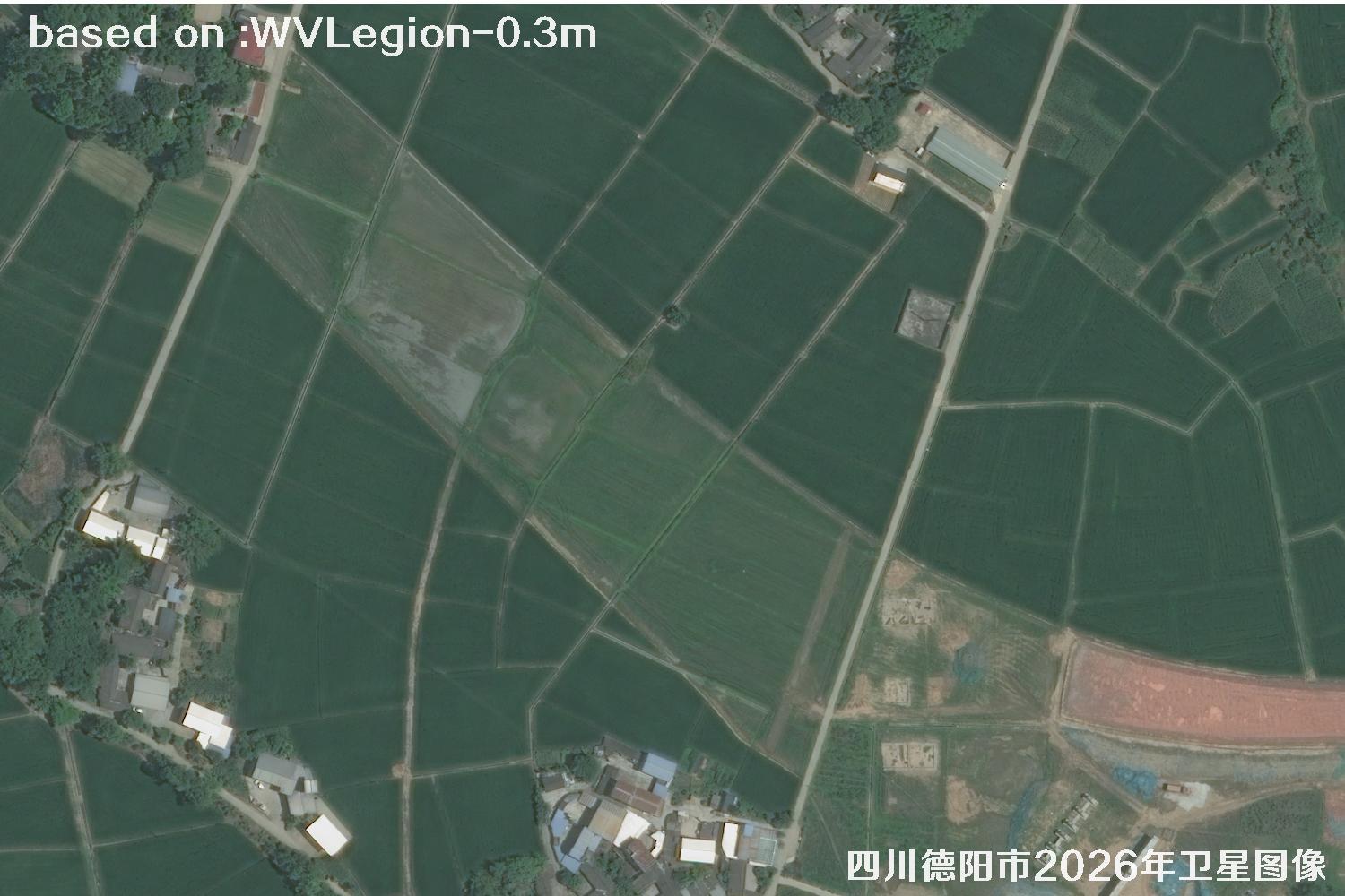 WV · 22
Image 22 of 30WV LEGION · 2026
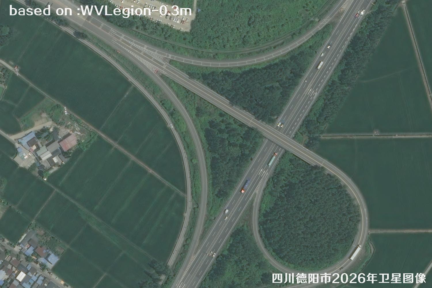 WV · 23
Image 23 of 30WV LEGION · 2026
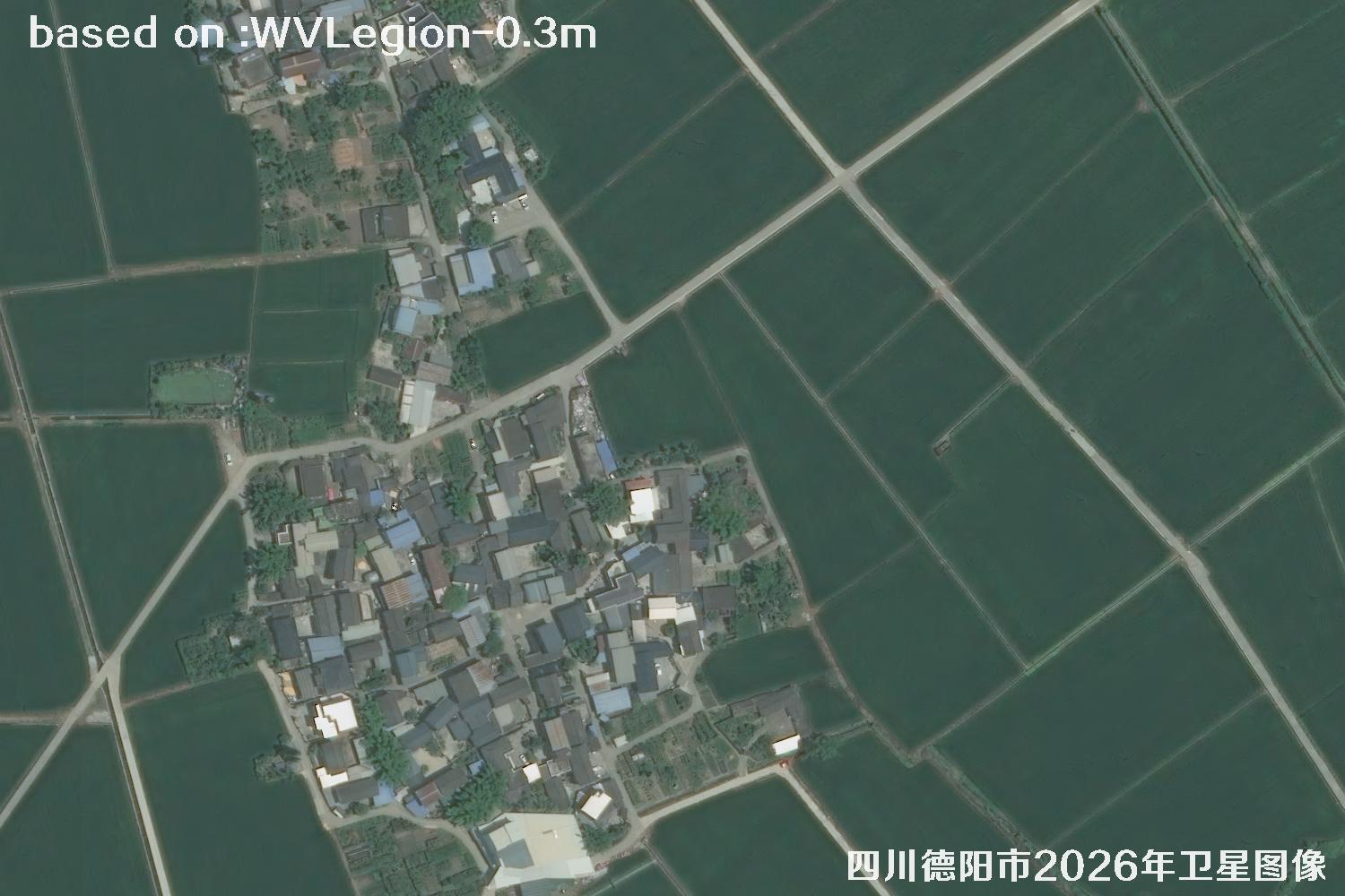 WV · 24
Image 24 of 30WV LEGION · 2026
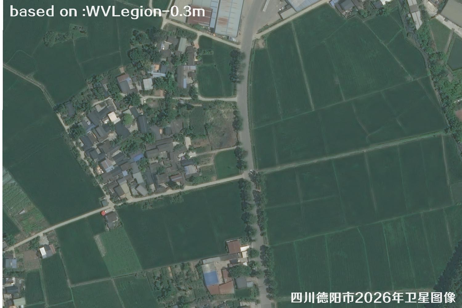 WV · 25
Image 25 of 30WV LEGION · 2026
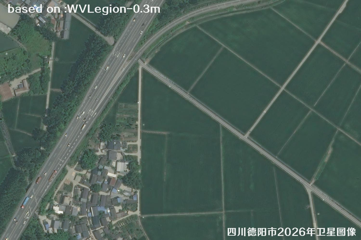 WV · 26
Image 26 of 30WV LEGION · 2026
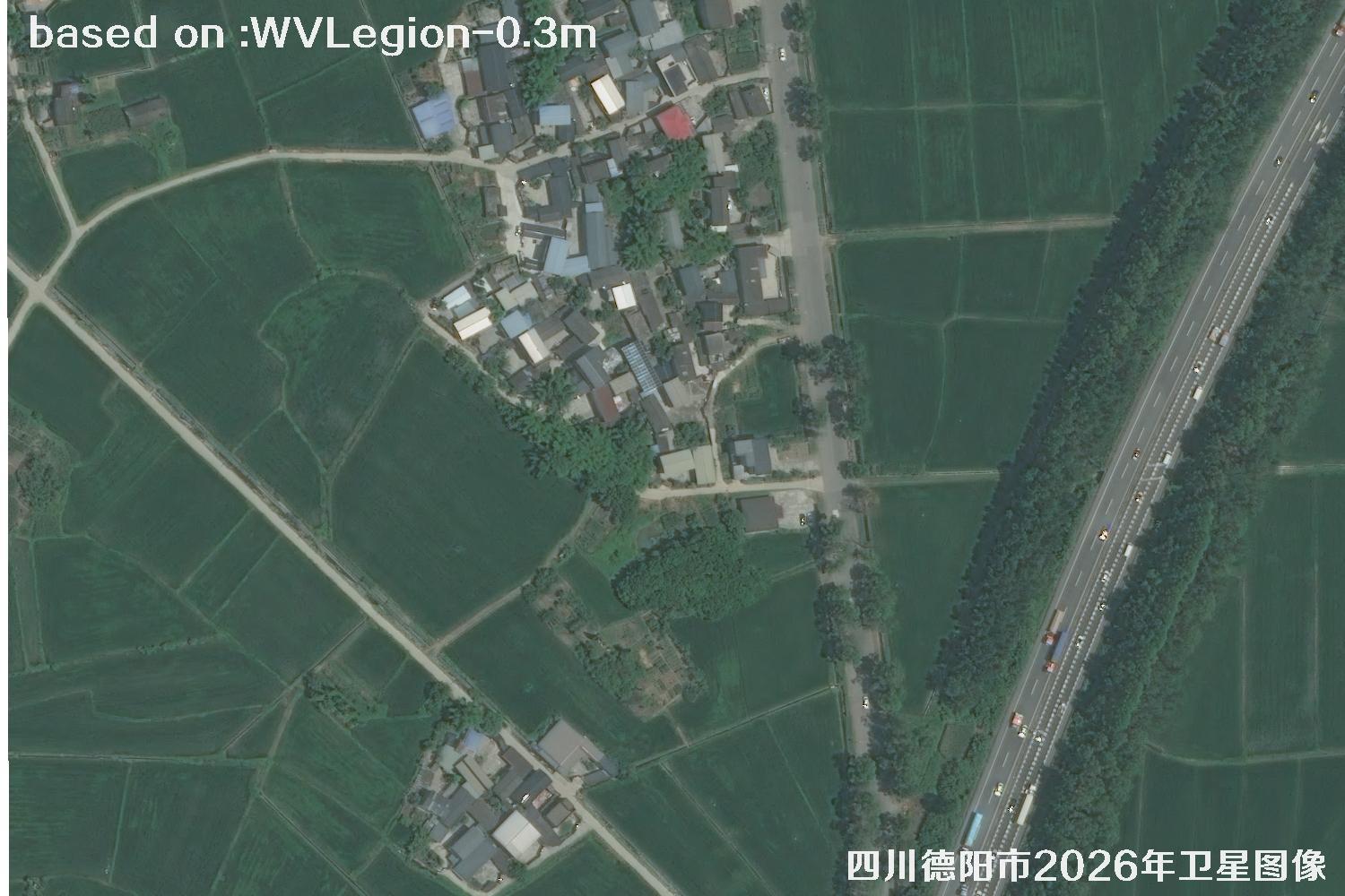 WV · 27
Image 27 of 30WV LEGION · 2026
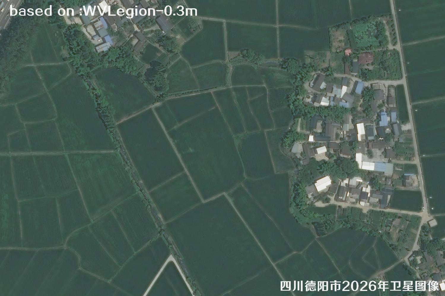 WV · 28
Image 28 of 30WV LEGION · 2026
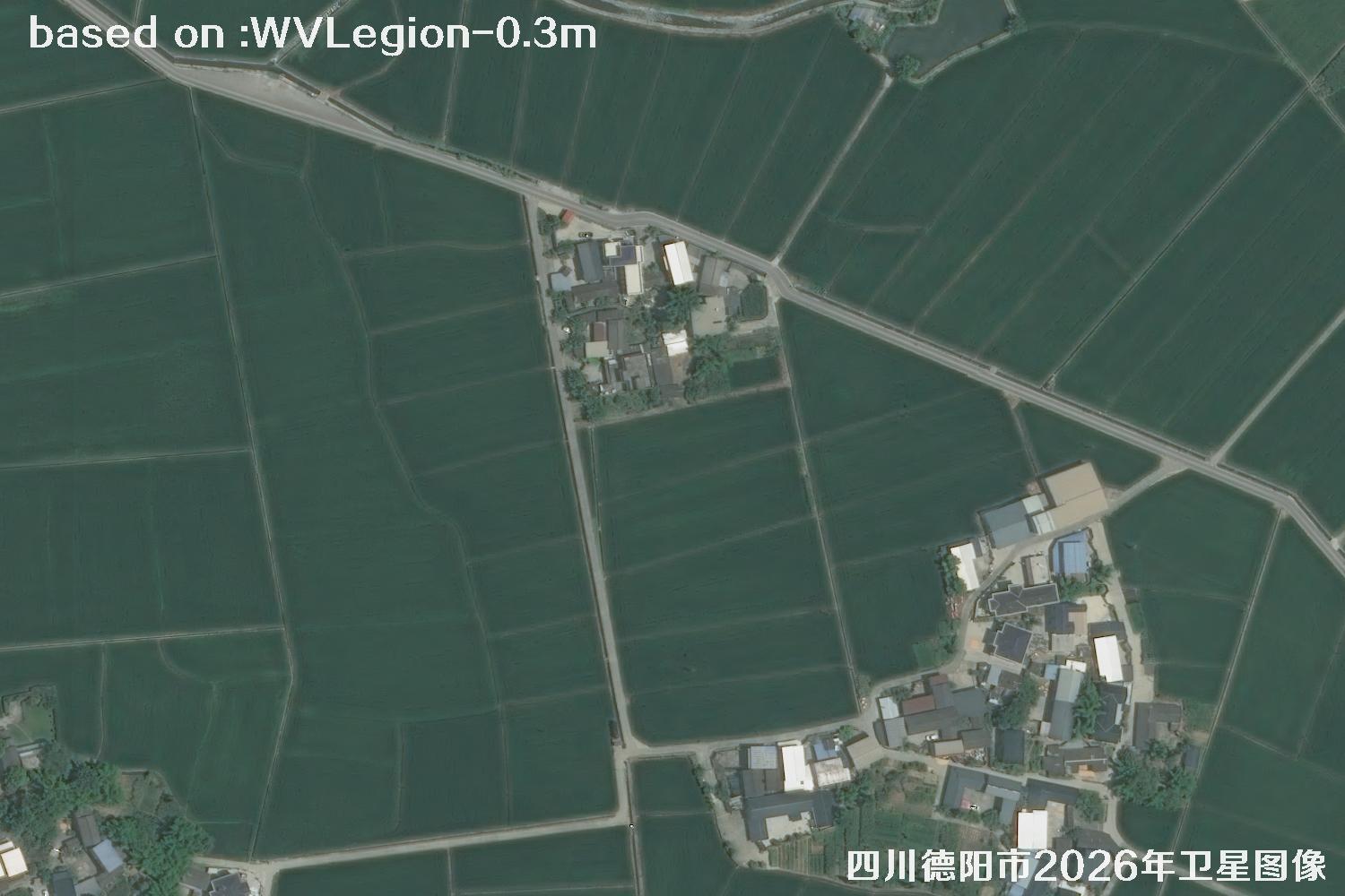 WV · 29
Image 29 of 30WV LEGION · 2026
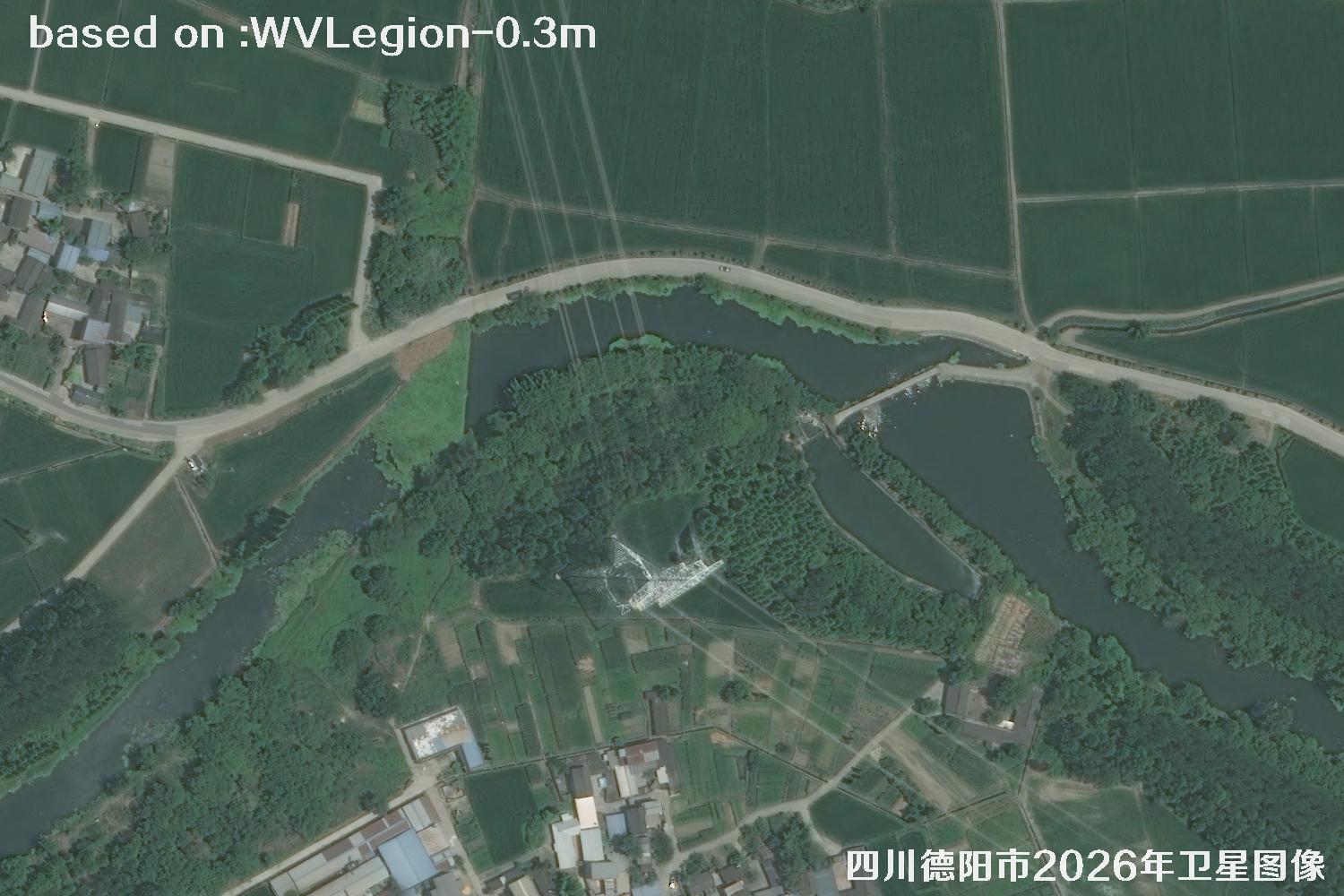 WV · 30
Image 30 of 30WV LEGION · 2026
Good to know: Image appearance can be affected by clouds and weather, season, sun elevation, viewing angle, the size of ground features and image processing. These samples are for reference; clarity and feature visibility depend on the delivered imagery.
OBJECT RECOGNITION
Satellite image object recognition
Explore remote-sensing information by object type