
Keyhole卫星:1983年的广东省沿海卫星历史图像
1983年广东省
1983年的广东省正处在改革开放初期,是中国最早实行对外开放政策的地区之一。广东位于中国南部,毗邻港澳,面向南海,区位优势十分突出。当时全省经济以农业、轻工业和外向型加工产业为主,珠江三角洲地区发展较快,广州是省会和重要的工商业中心,深圳、珠海、汕头等经济特区也在逐步建设中。
1983年前后,广东积极引进外资、技术和管理经验,兴办“三来一补”等加工贸易,推动乡镇企业和个体经济发展。深圳经济特区虽建立不久,但已开始显现改革试验田的作用,城市建设和工业投资增长迅速。与此同时,广东仍保留较强的传统农业基础,水稻、甘蔗、蚕桑、水果和水产养殖较为重要。
文化上,广东具有鲜明的岭南特色,粤语、潮汕话、客家话等方言并存,广府、潮汕、客家文化交融。由于靠近港澳和海外华侨联系密切,广东在思想观念、商品流通和社会生活方面较为开放。总体来看,1983年的广东既有传统农业省份的底色,也展现出改革开放前沿地区的活力。
以下是Keyhole卫星1983年拍摄的广东沿海地区的3米分辨率卫星图像,【购买卫星影像】请联系北京亿景图公司工作人员,或在线留言给我们,点击在线搜索看更多卫星图。
[trans-to-En]
广东沿海1983年卫星图
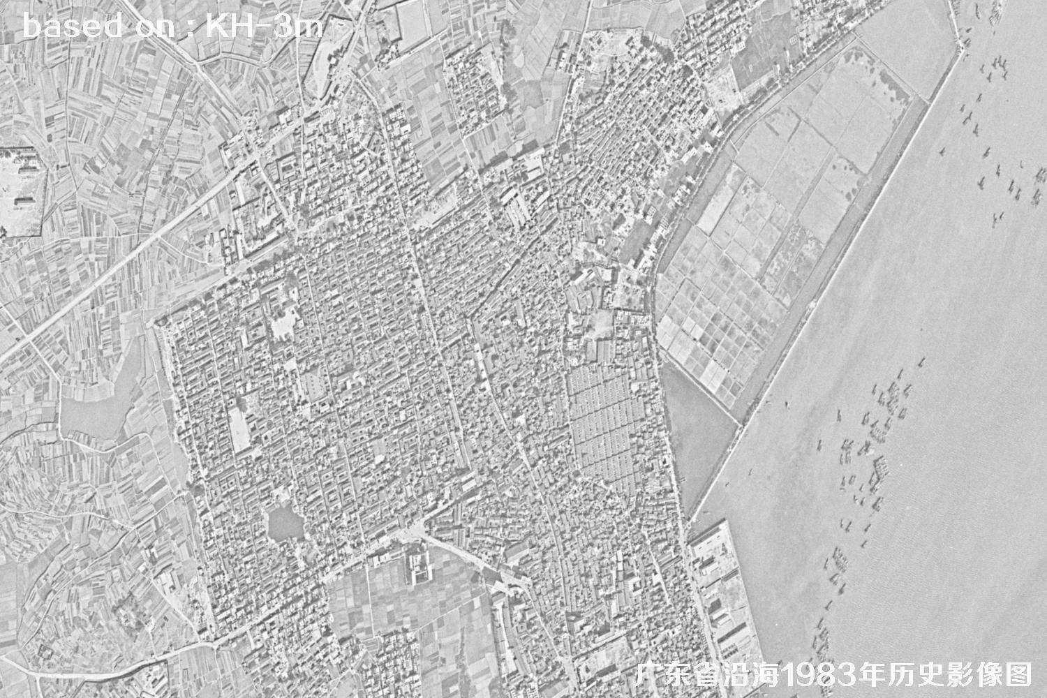
图1、广东省沿海1983年Keyhole卫星历史影像图
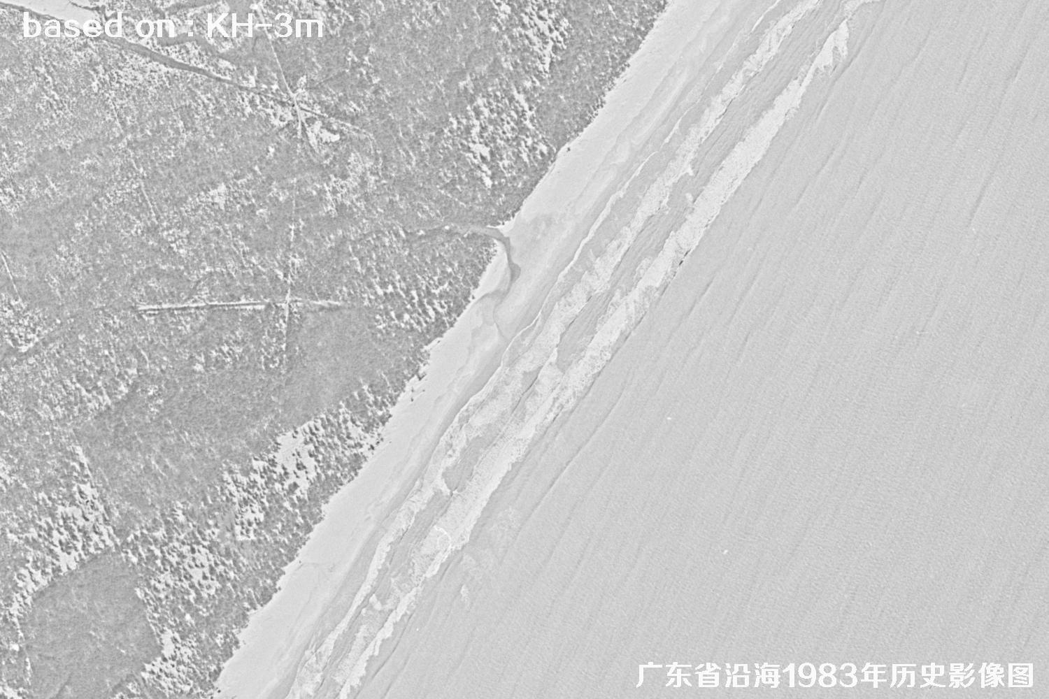
图2、广东省沿海1983年Keyhole卫星历史影像图
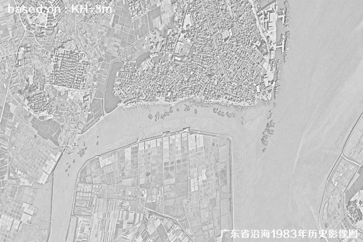
图3、广东省沿海1983年Keyhole卫星历史影像图
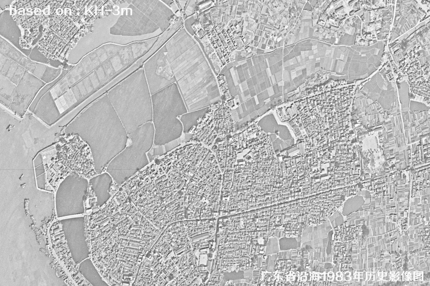
图4、广东省沿海1983年Keyhole卫星历史影像图
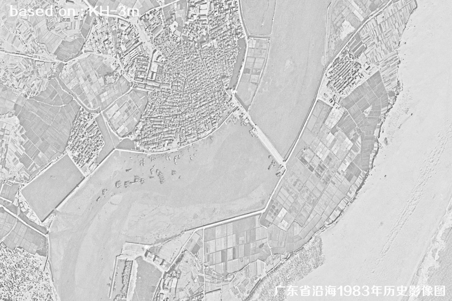
图5、广东省沿海1983年Keyhole卫星历史影像图
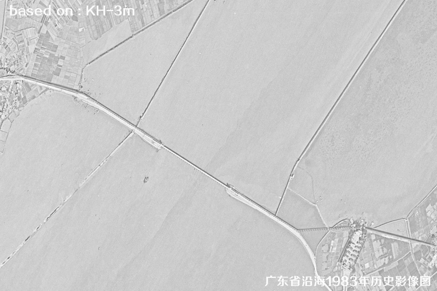
图6、广东省沿海1983年Keyhole卫星历史影像图
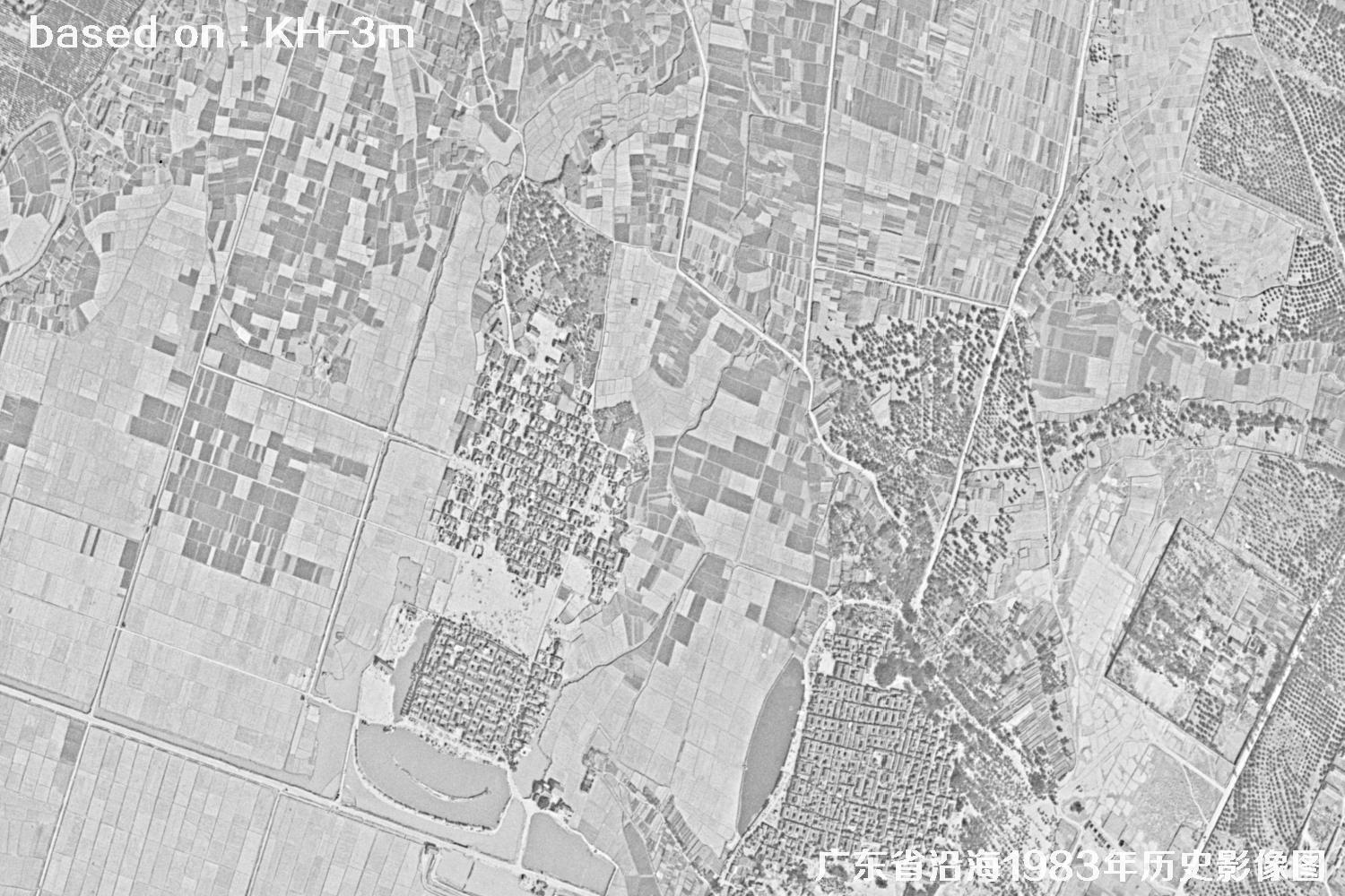
图7、广东省沿海1983年Keyhole卫星历史影像图
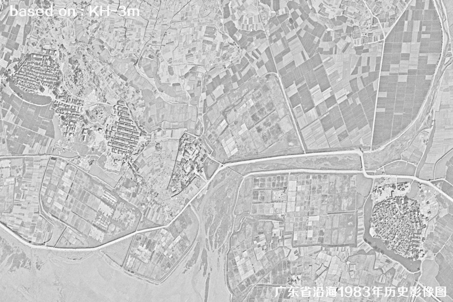
图8、广东省沿海1983年Keyhole卫星历史影像图
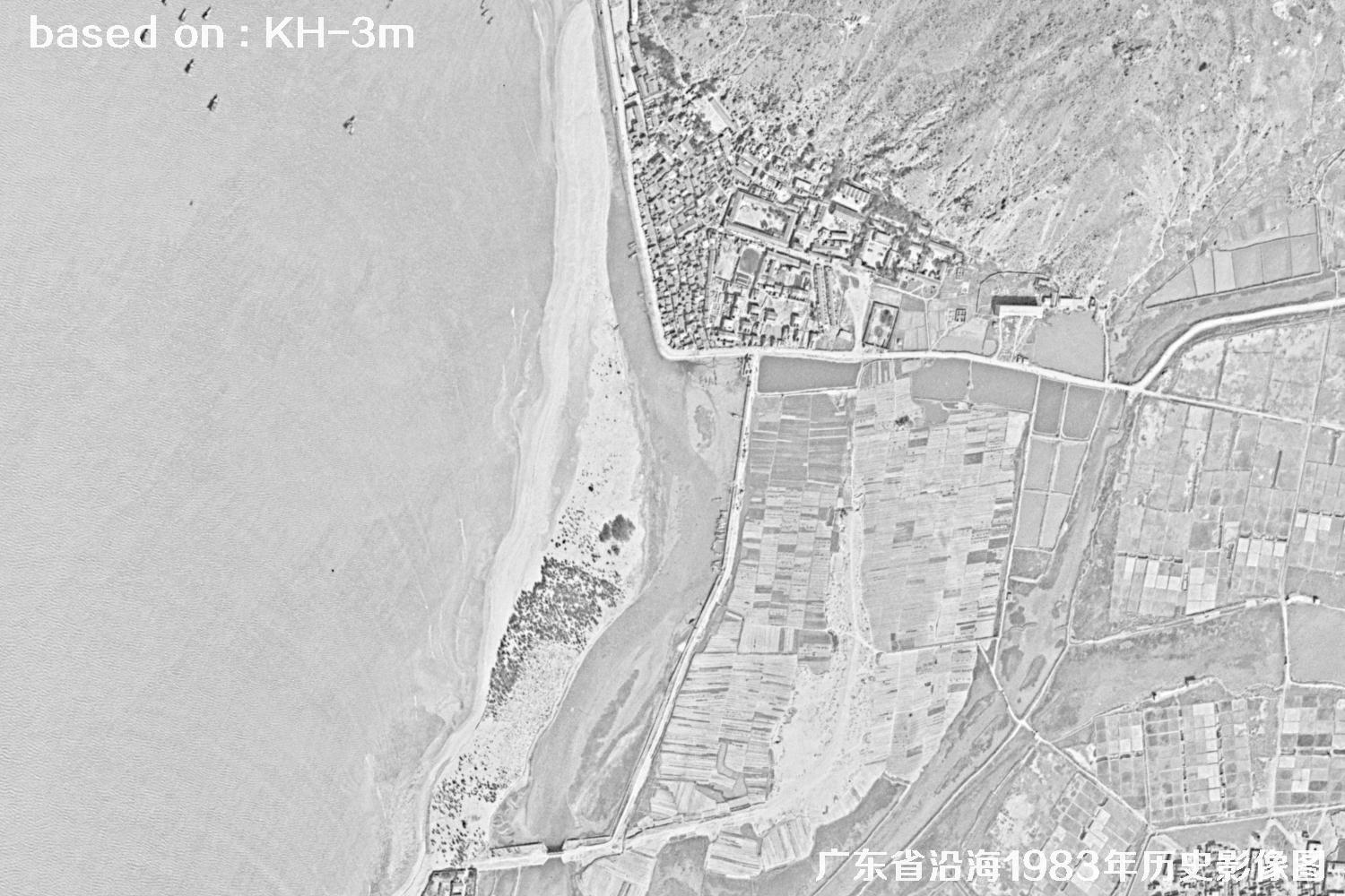
图9、广东省沿海1983年Keyhole卫星历史影像图
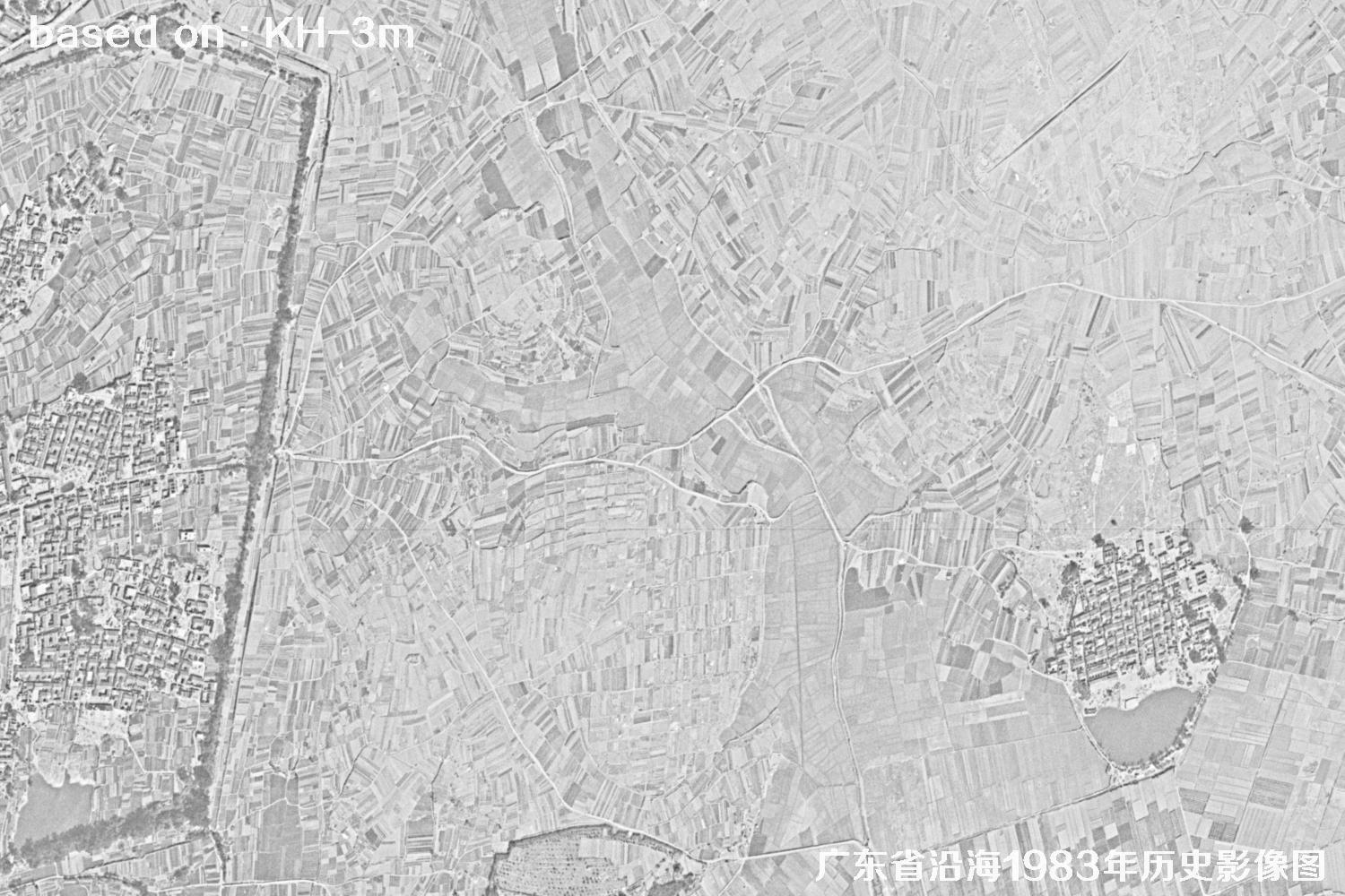
图10、广东省沿海1983年Keyhole卫星历史影像图
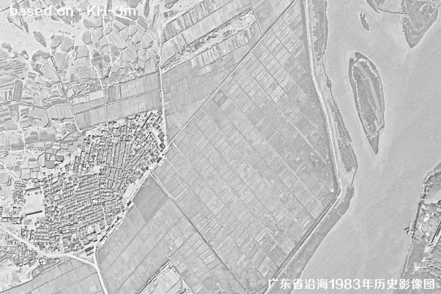
图11、广东省沿海1983年Keyhole卫星历史影像图
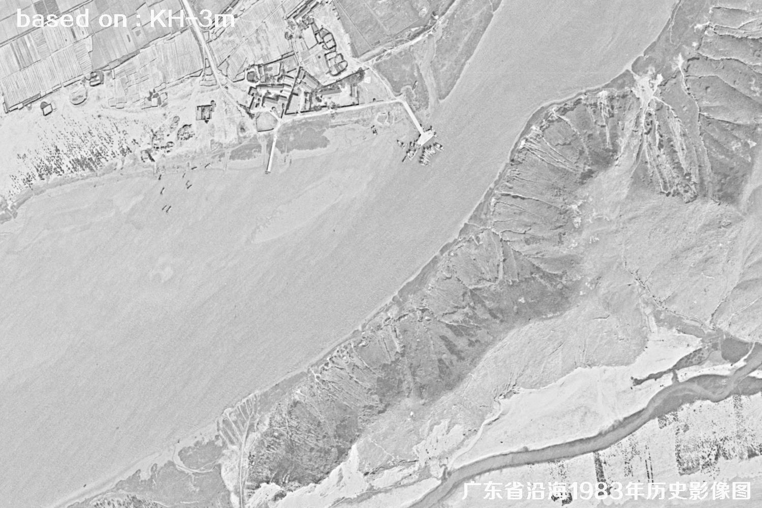
图12、广东省沿海1983年Keyhole卫星历史影像图
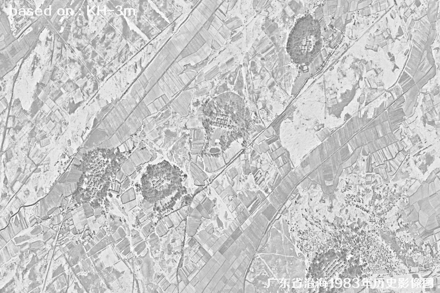
图13、广东省沿海1983年Keyhole卫星历史影像图
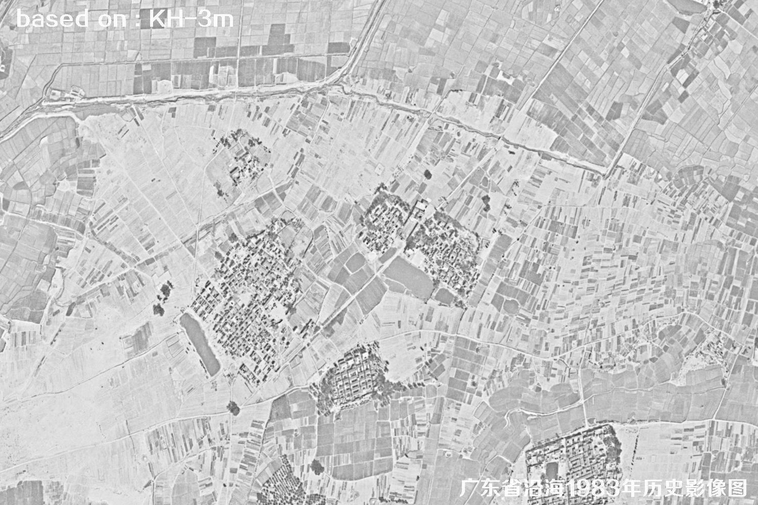
图14、广东省沿海1983年Keyhole卫星历史影像图
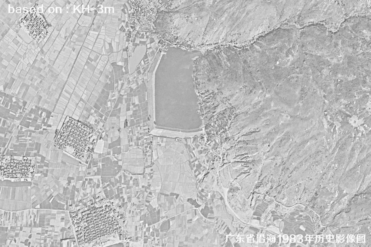
图15、广东省沿海1983年Keyhole卫星历史影像图
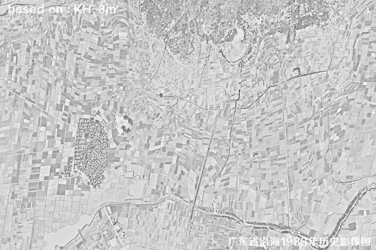
图16、广东省沿海1983年Keyhole卫星历史影像图
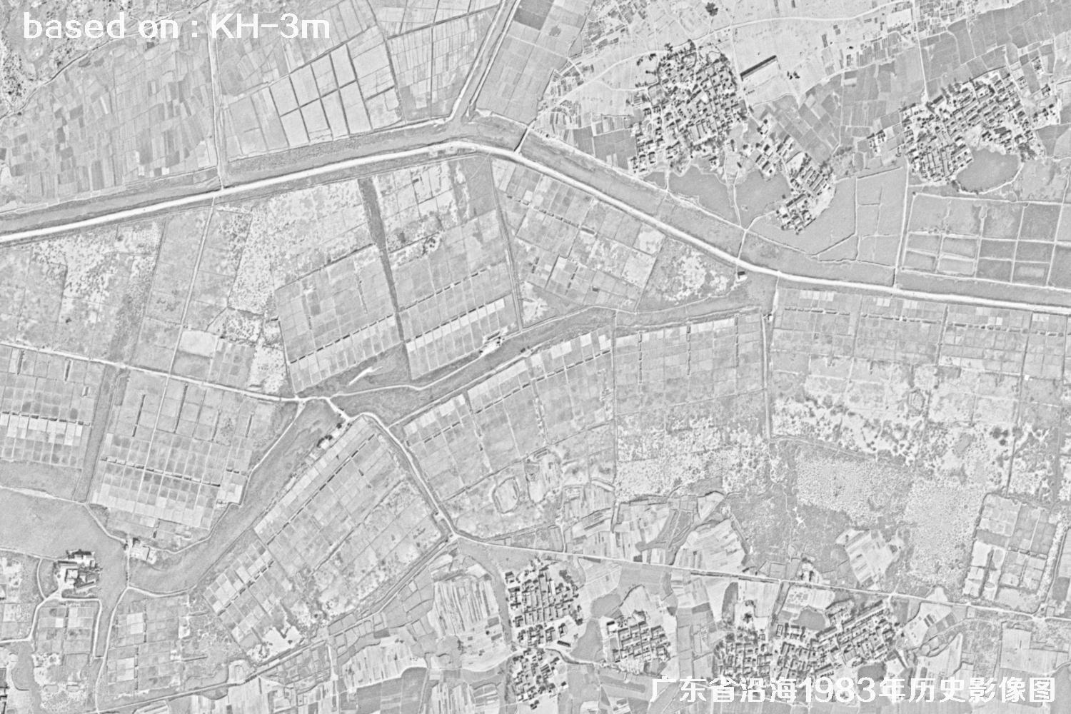
图17、广东省沿海1983年Keyhole卫星历史影像图
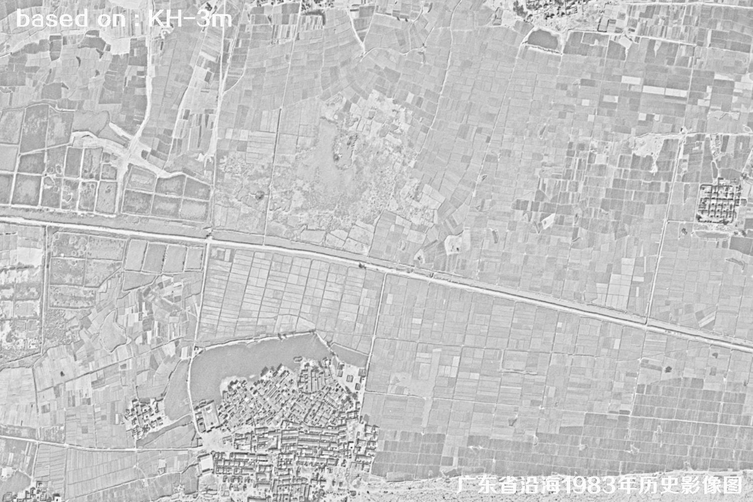
图18、广东省沿海1983年Keyhole卫星历史影像图
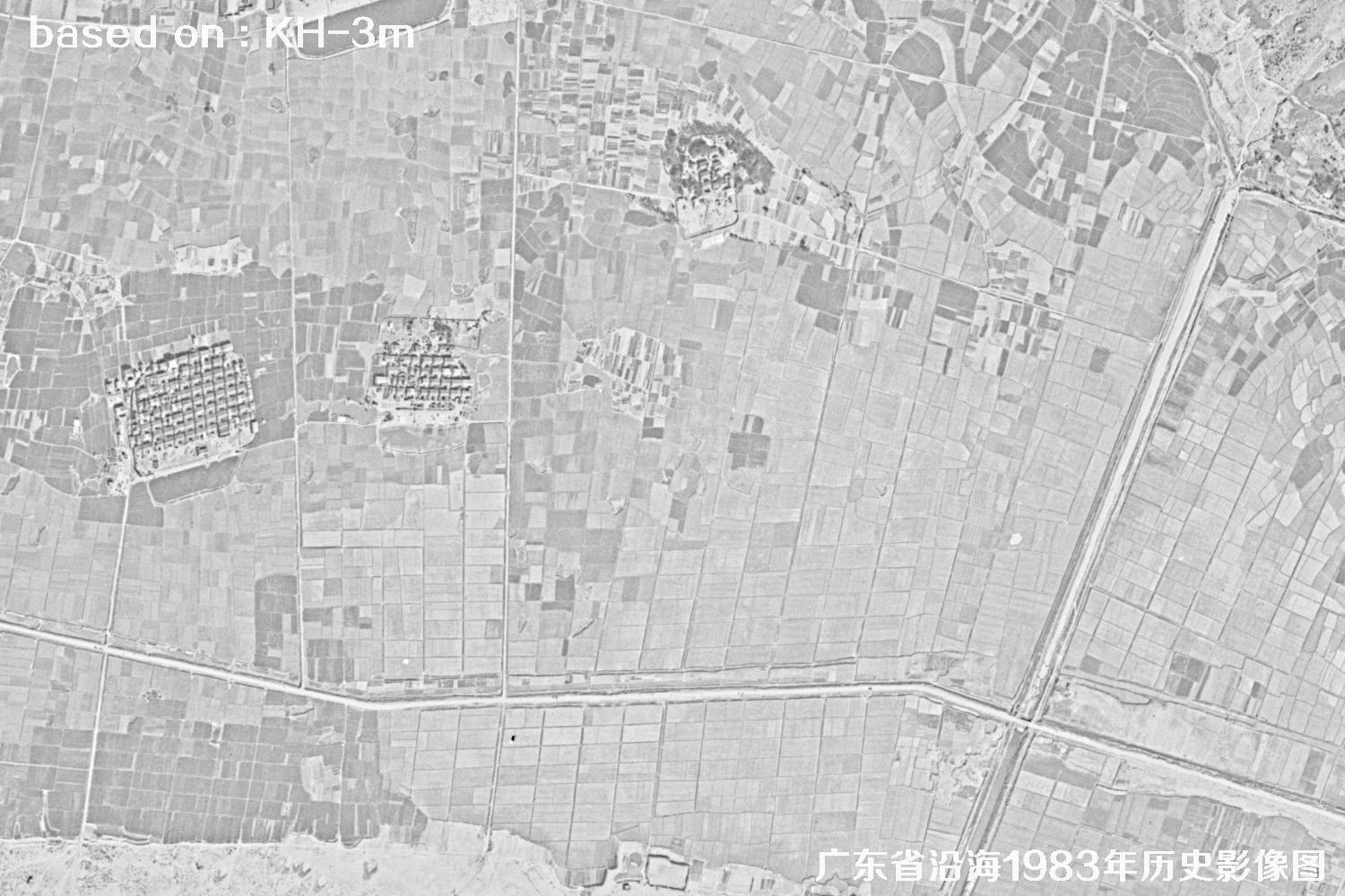
图19、广东省沿海1983年Keyhole卫星历史影像图
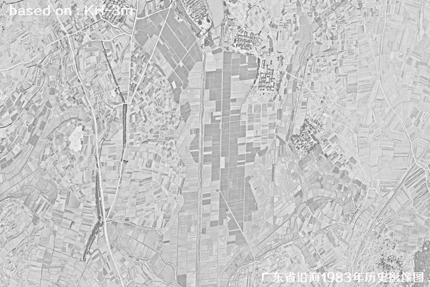
图20、广东省沿海1983年Keyhole卫星历史影像图
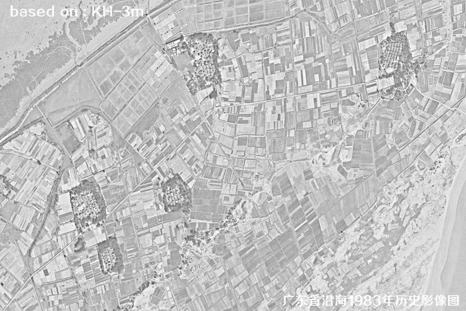
图21、广东省沿海1983年Keyhole卫星历史影像图
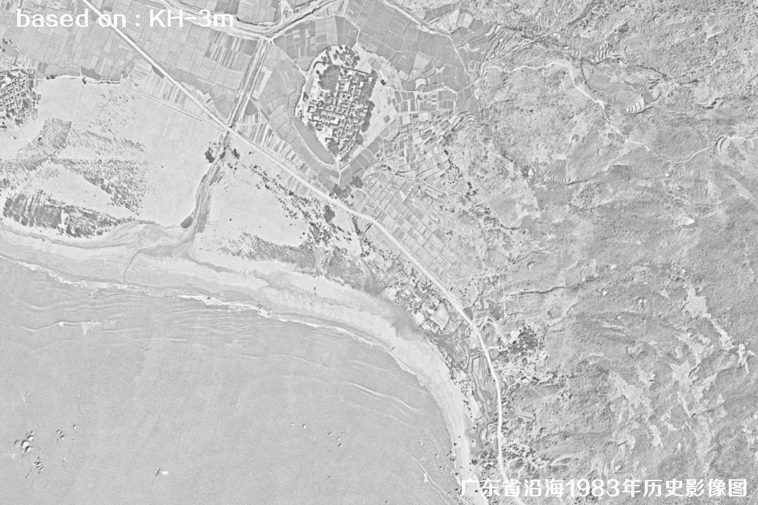
图22、广东省沿海1983年Keyhole卫星历史影像图
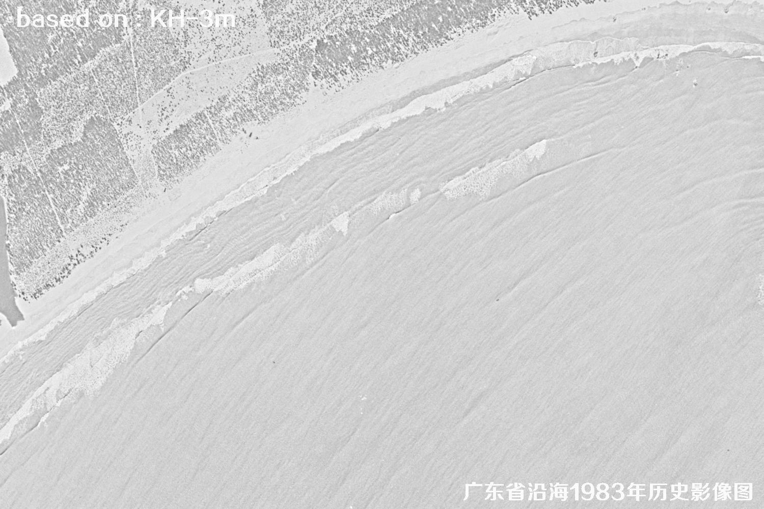
图23、广东省沿海1983年Keyhole卫星历史影像图
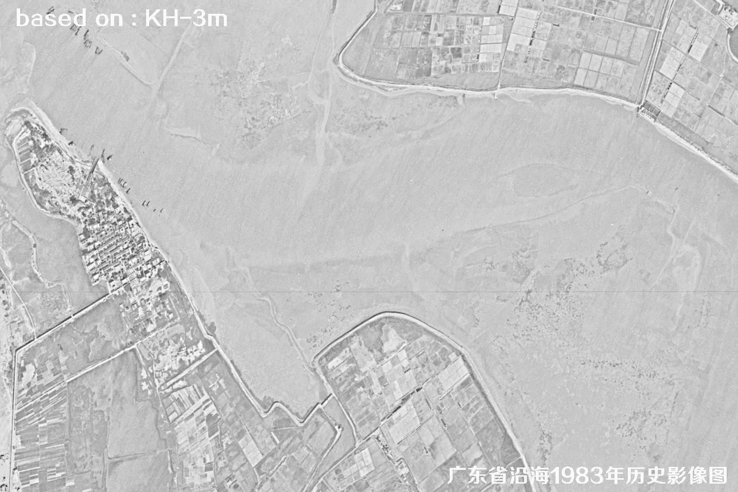
图24、广东省沿海1983年Keyhole卫星历史影像图
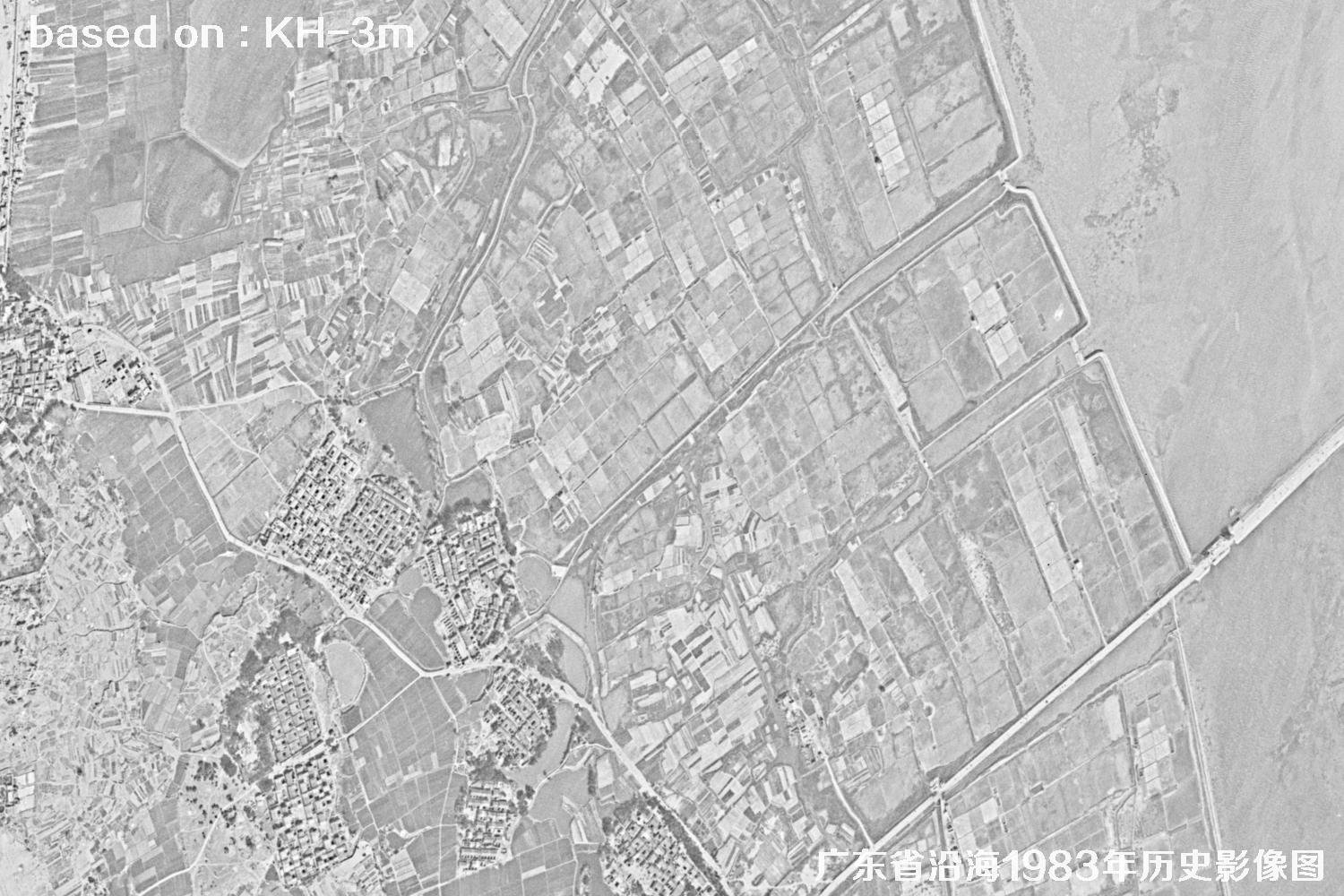
图25、广东省沿海1983年Keyhole卫星历史影像图
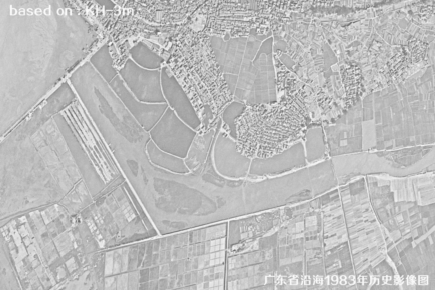
图26、广东省沿海1983年Keyhole卫星历史影像图
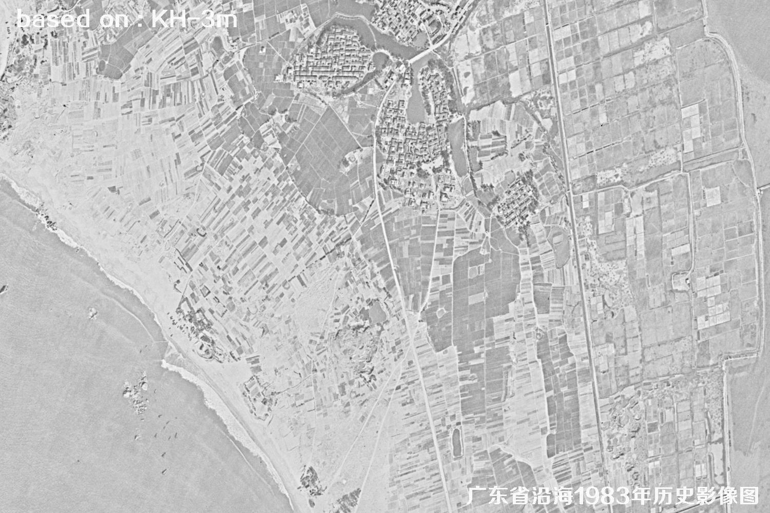
图27、广东省沿海1983年Keyhole卫星历史影像图
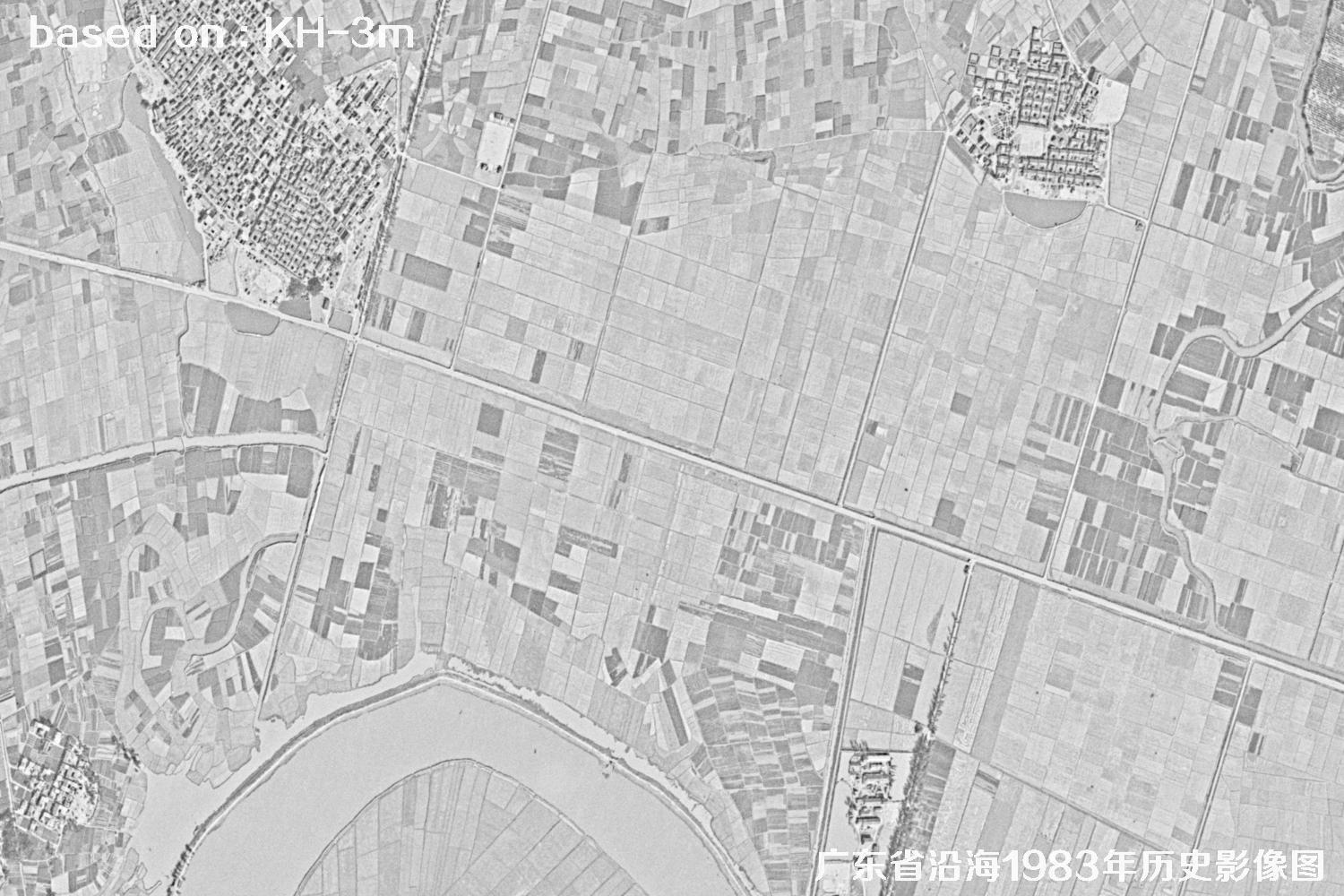
图28、广东省沿海1983年Keyhole卫星历史影像图
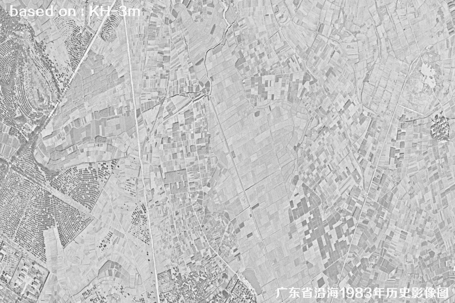
图29、广东省沿海1983年Keyhole卫星历史影像图
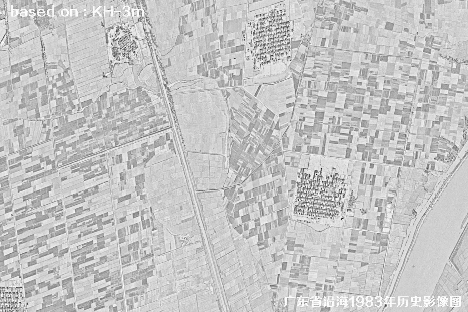
图30、广东省沿海1983年Keyhole卫星历史影像图
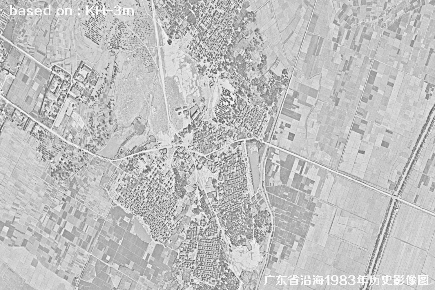
图31、广东省沿海1983年Keyhole卫星历史影像图
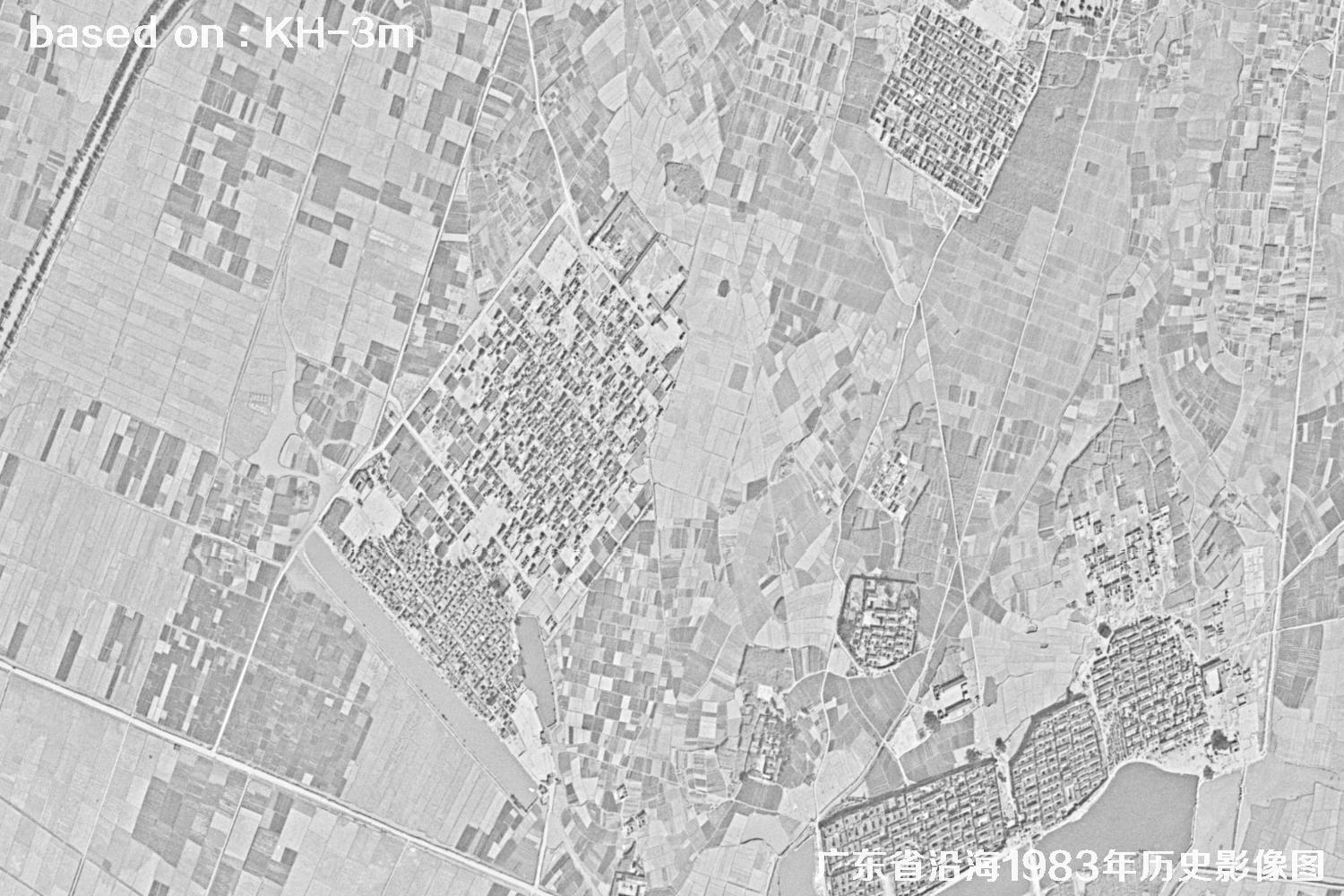
图32、广东省沿海1983年Keyhole卫星历史影像图
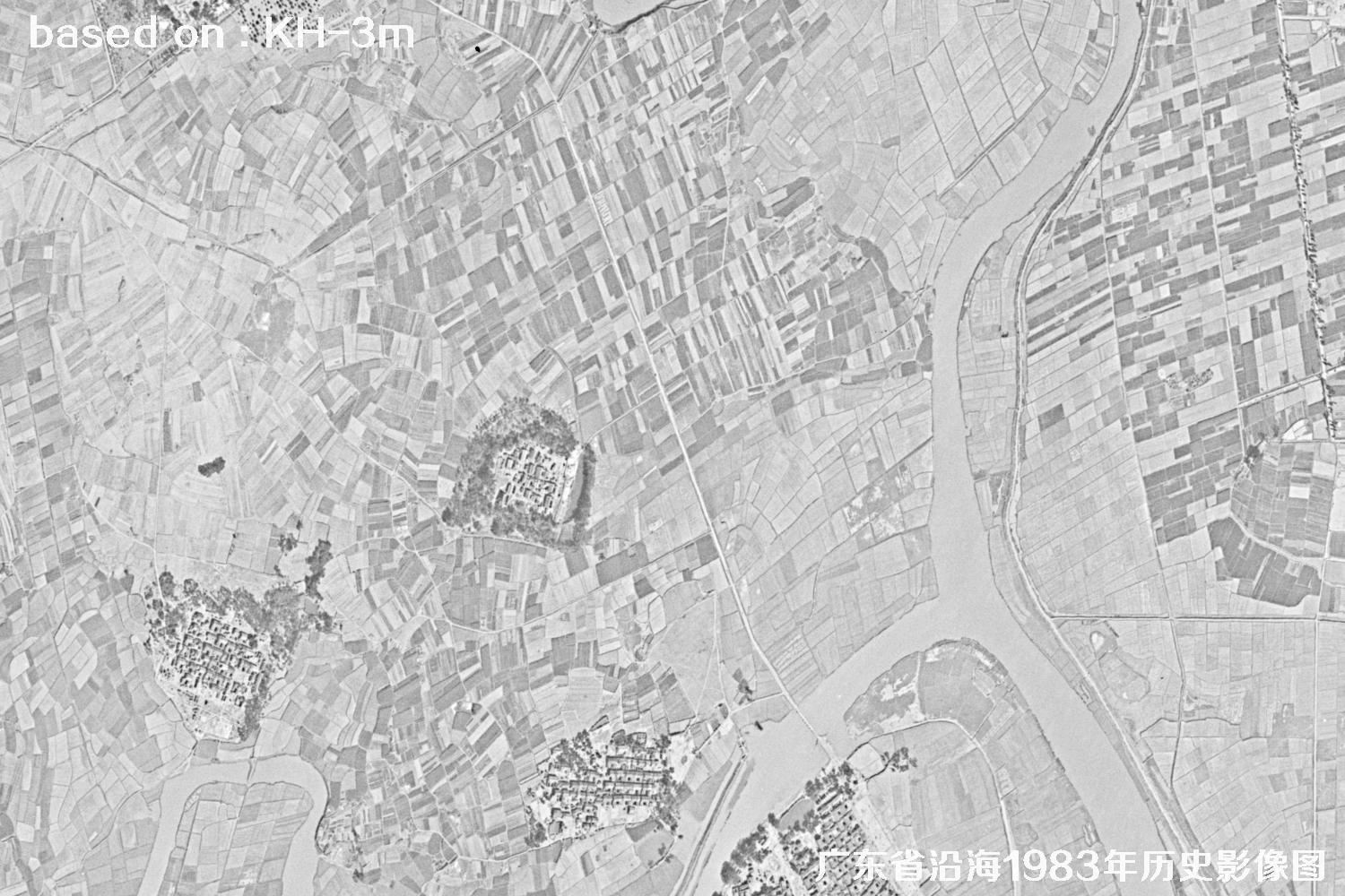
图33、广东省沿海1983年Keyhole卫星历史影像图
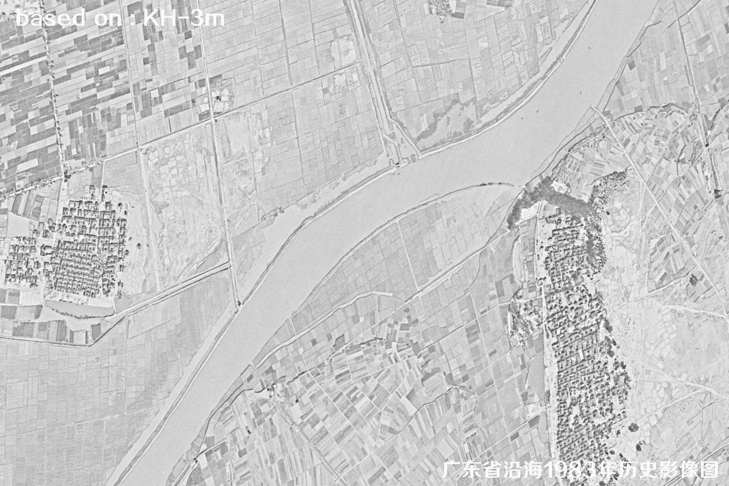
图34、广东省沿海1983年Keyhole卫星历史影像图
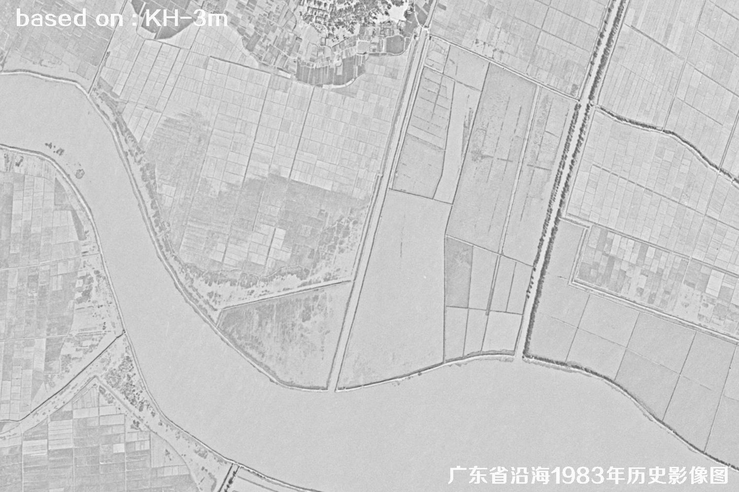
图35、广东省沿海1983年Keyhole卫星历史影像图
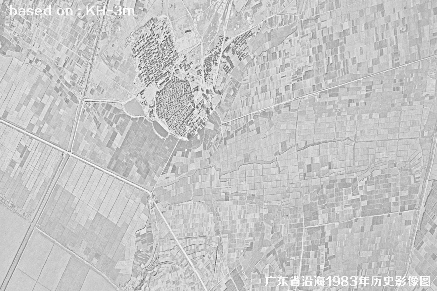
图36、广东省沿海1983年Keyhole卫星历史影像图
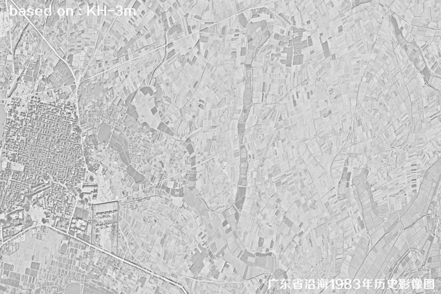
图37、广东省沿海1983年Keyhole卫星历史影像图
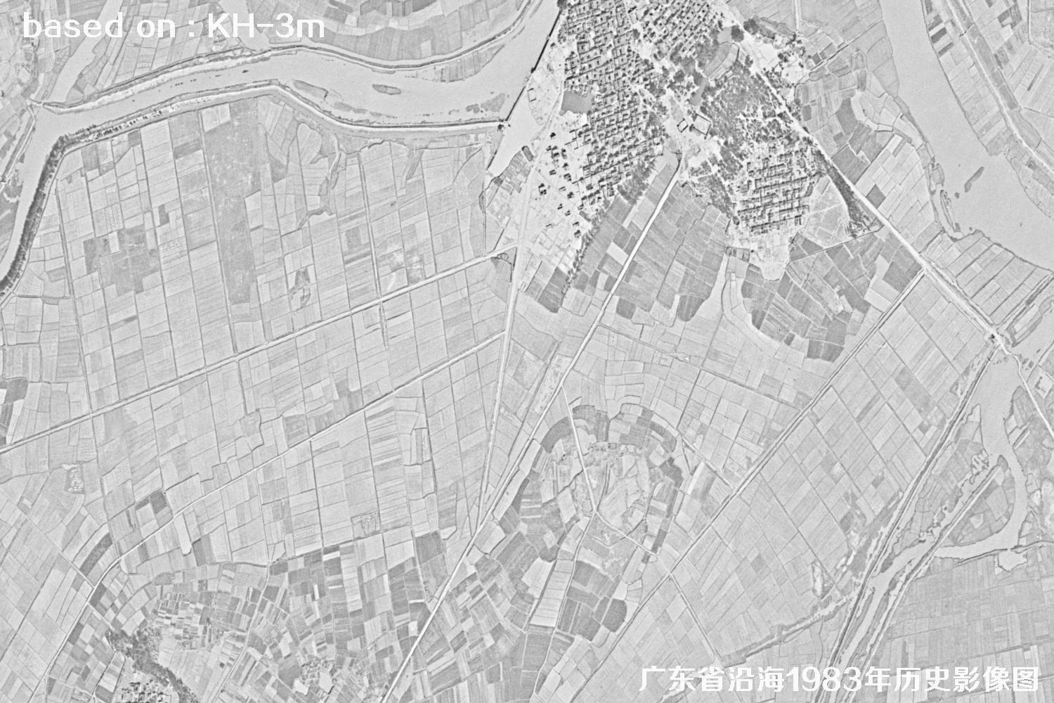
图38、广东省沿海1983年Keyhole卫星历史影像图
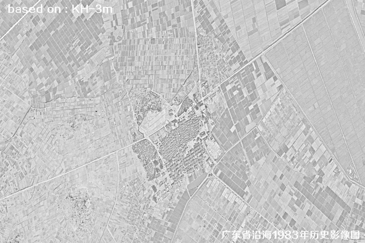
图39、广东省沿海1983年Keyhole卫星历史影像图
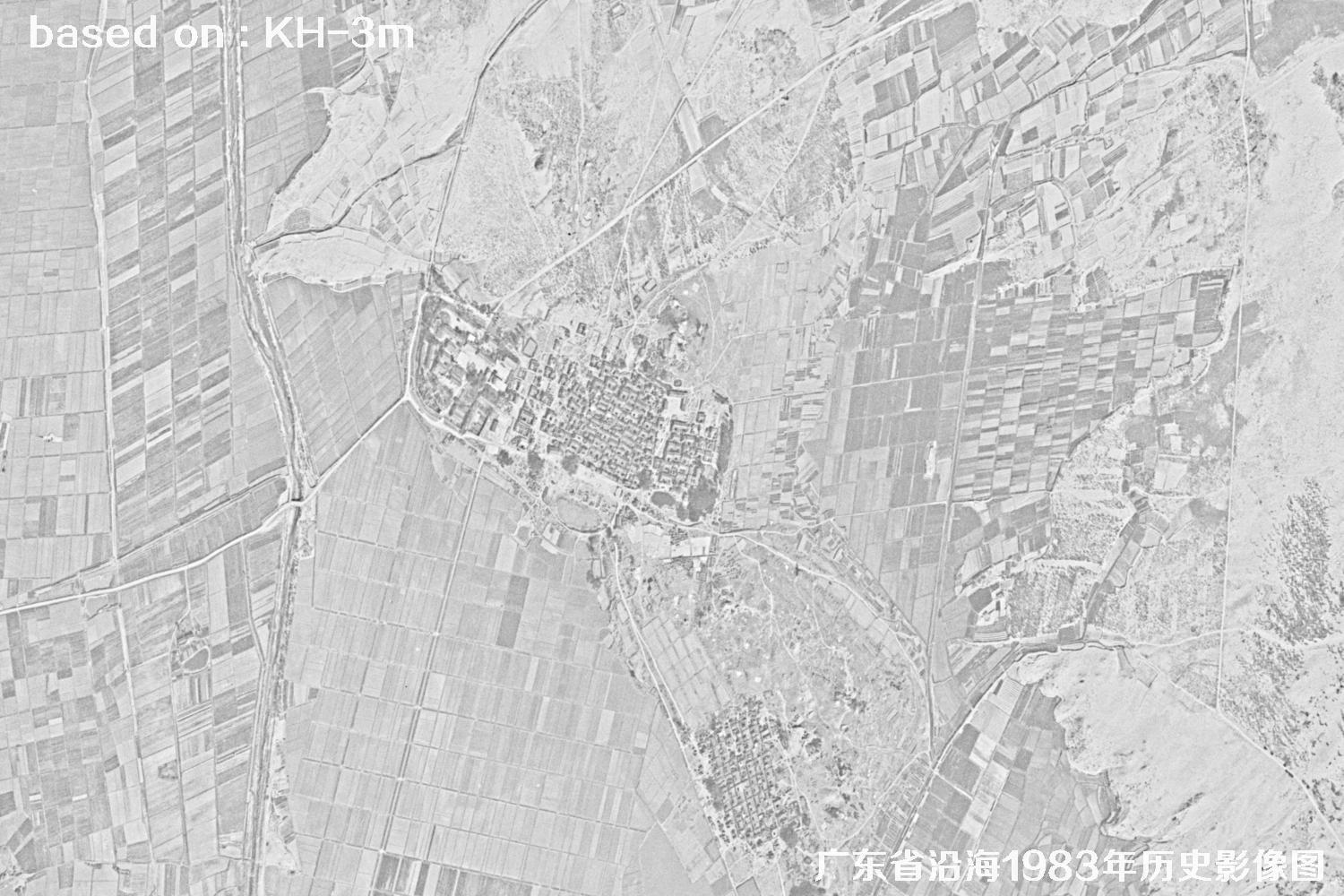
图40、广东省沿海1983年Keyhole卫星历史影像图
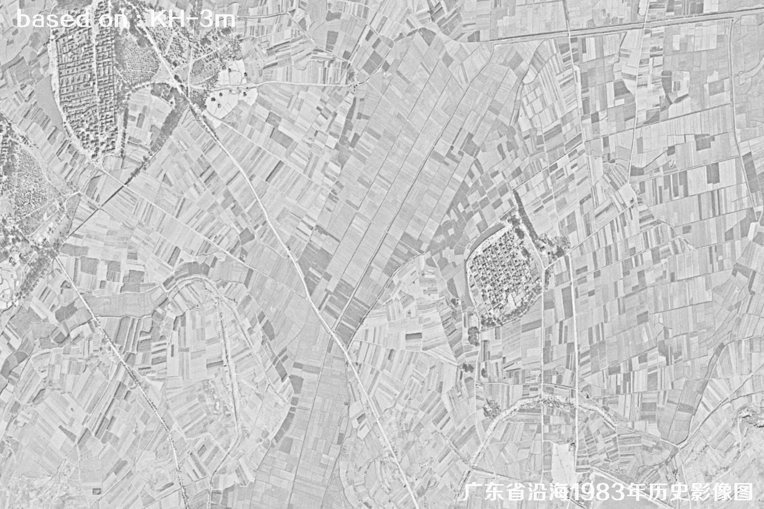
图41、广东省沿海1983年Keyhole卫星历史影像图
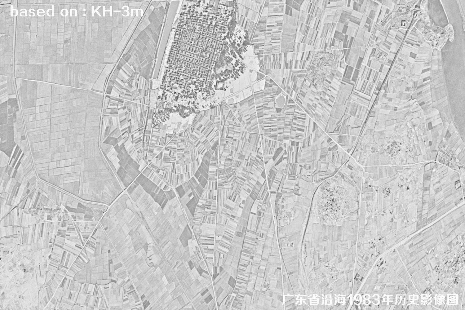
图42、广东省沿海1983年Keyhole卫星历史影像图
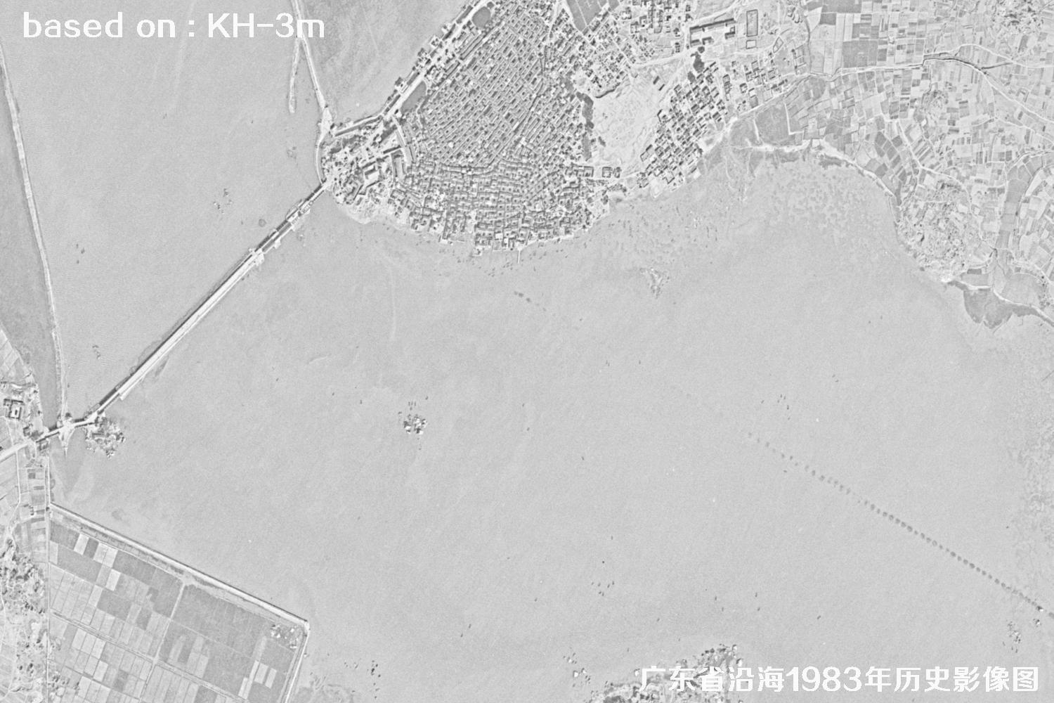
图43、广东省沿海1983年Keyhole卫星历史影像图
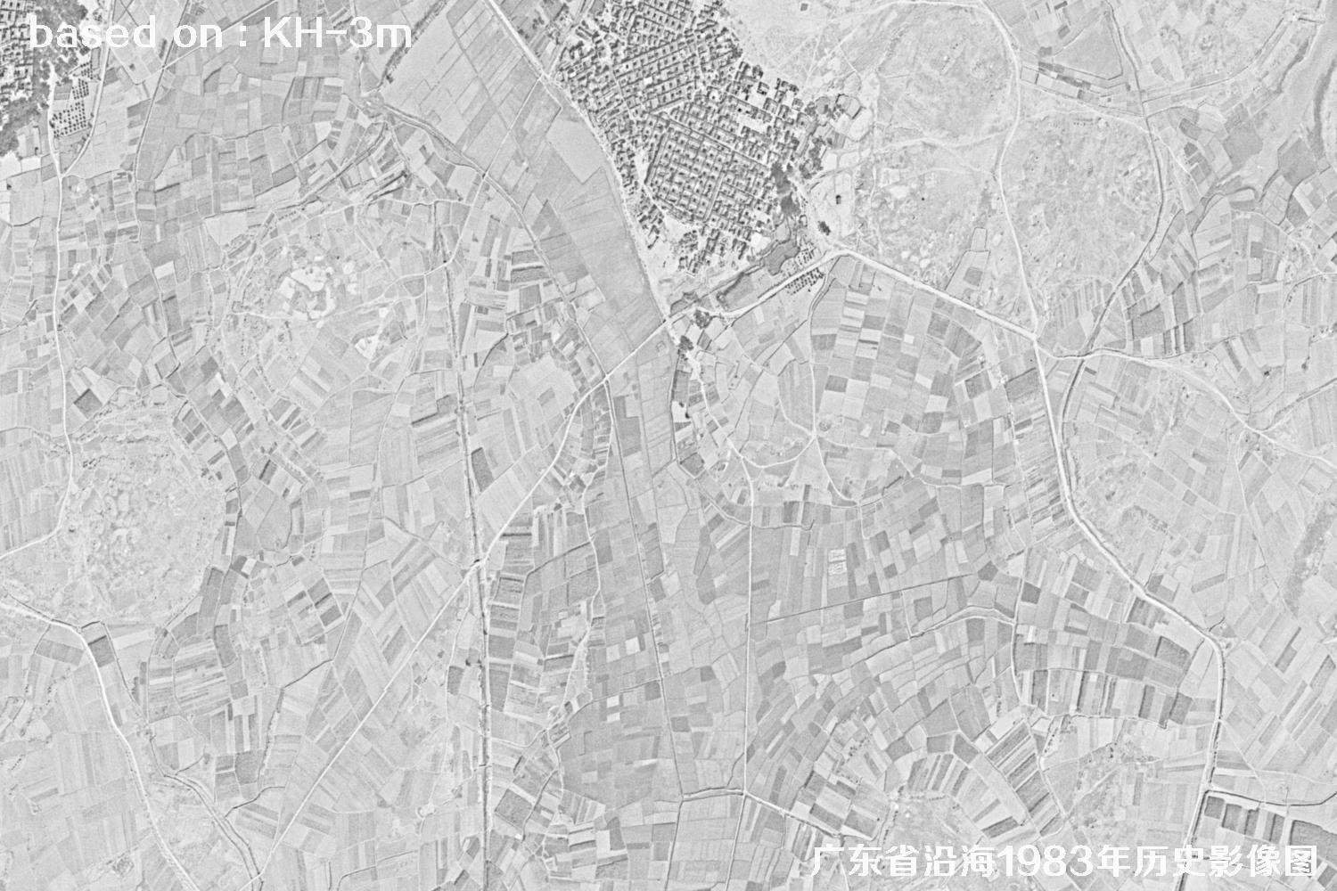
图44、广东省沿海1983年Keyhole卫星历史影像图
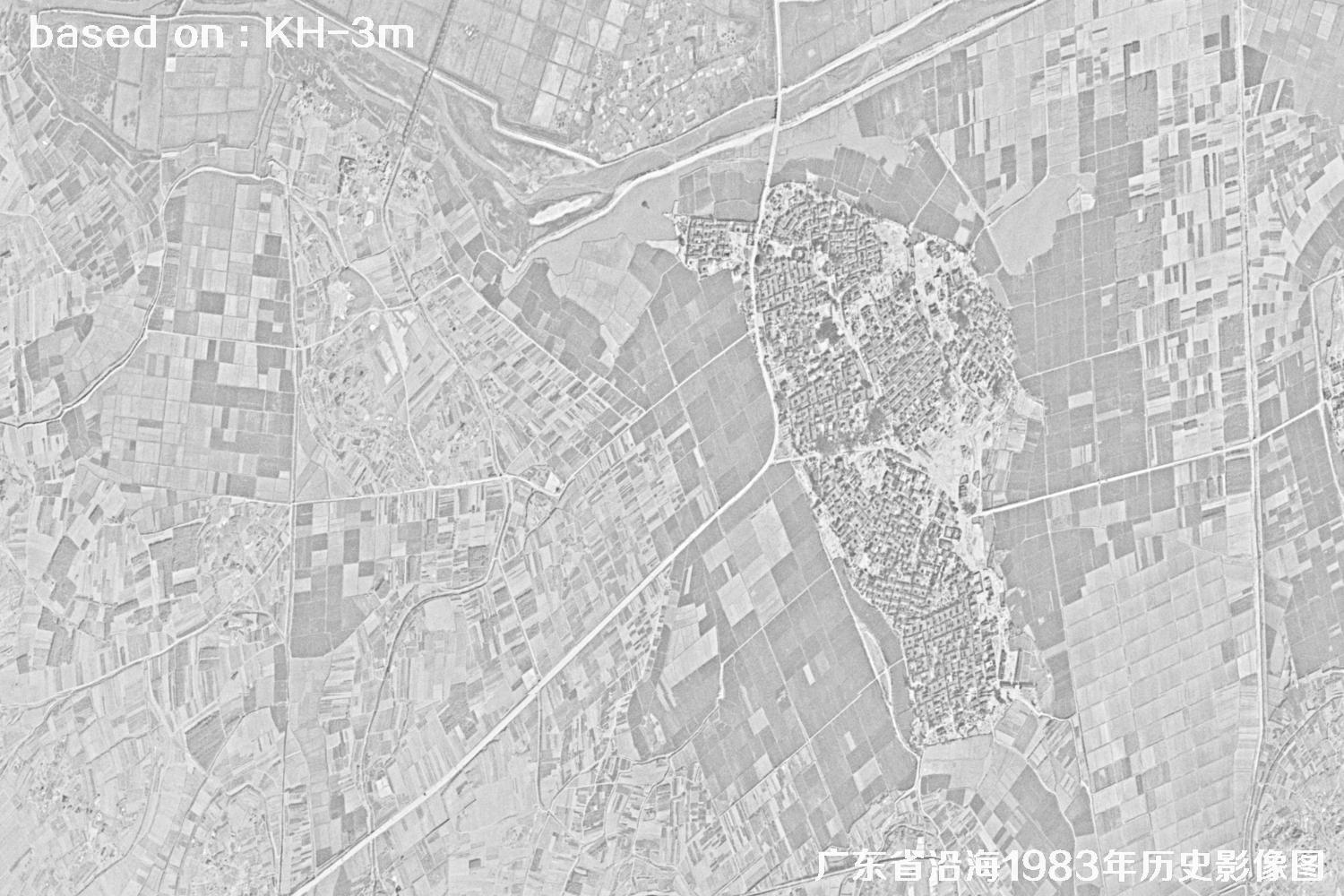
图45、广东省沿海1983年Keyhole卫星历史影像图
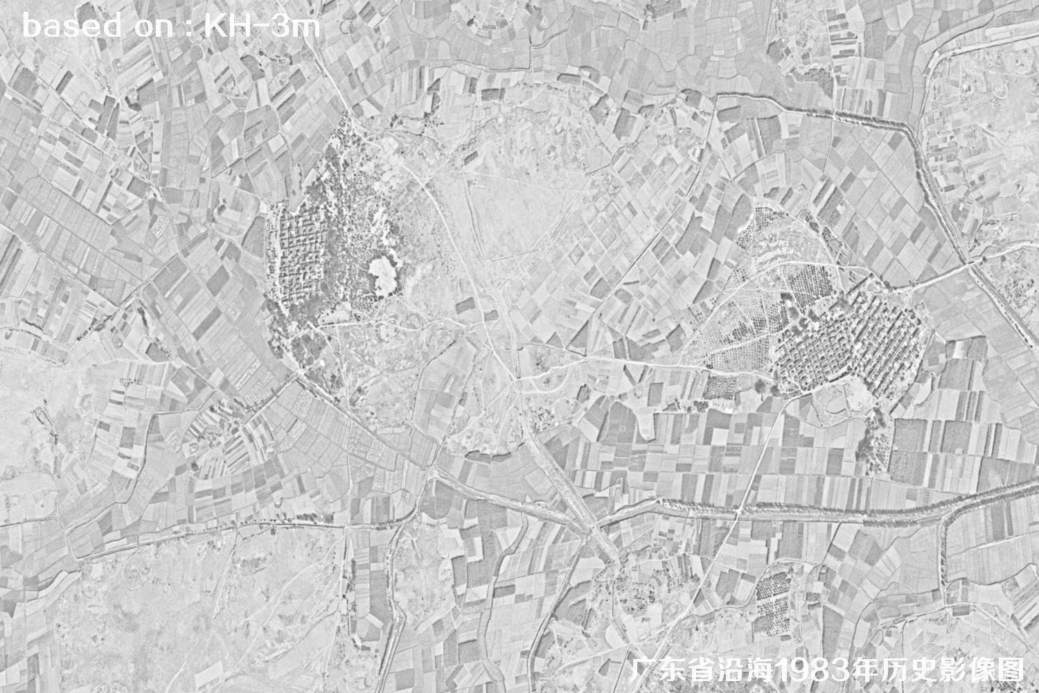
图46、广东省沿海1983年Keyhole卫星历史影像图
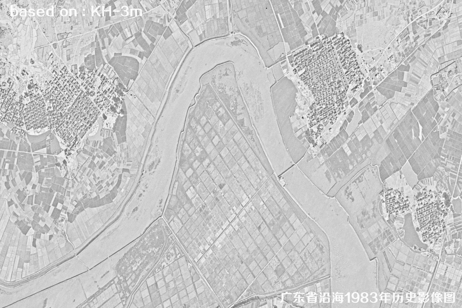
图47、广东省沿海1983年Keyhole卫星历史影像图
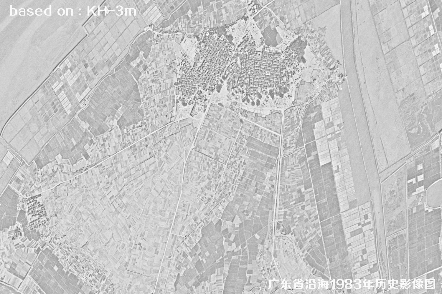
图48、广东省沿海1983年Keyhole卫星历史影像图
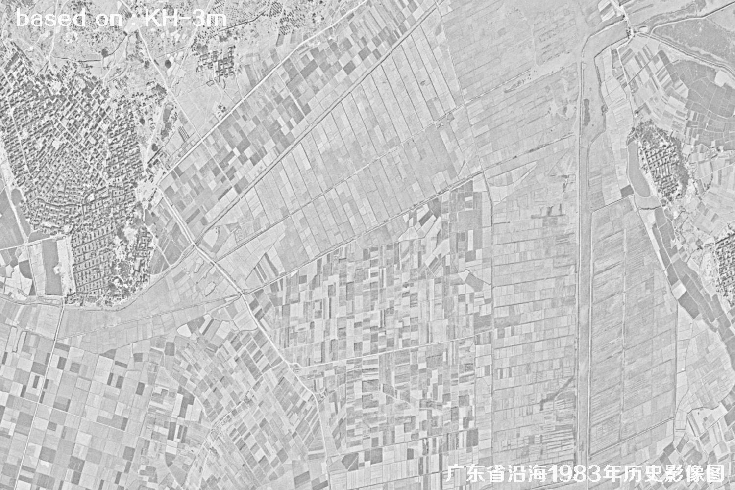
图49、广东省沿海1983年Keyhole卫星历史影像图
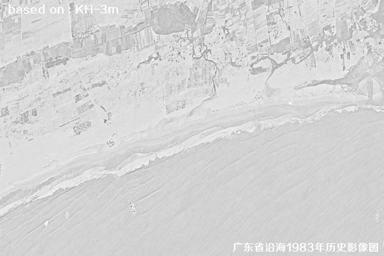
图50、广东省沿海1983年Keyhole卫星历史影像图
图51、3m keyhole satellite images of china guangdong province in 1983
图52、3m keyhole satellite images of china guangdong province in 1983
图53、3m keyhole satellite images of china guangdong province in 1983
声明:本文系我方原创文章,未经允许不得转载,违者必究。Original articles shall not be reproduced.