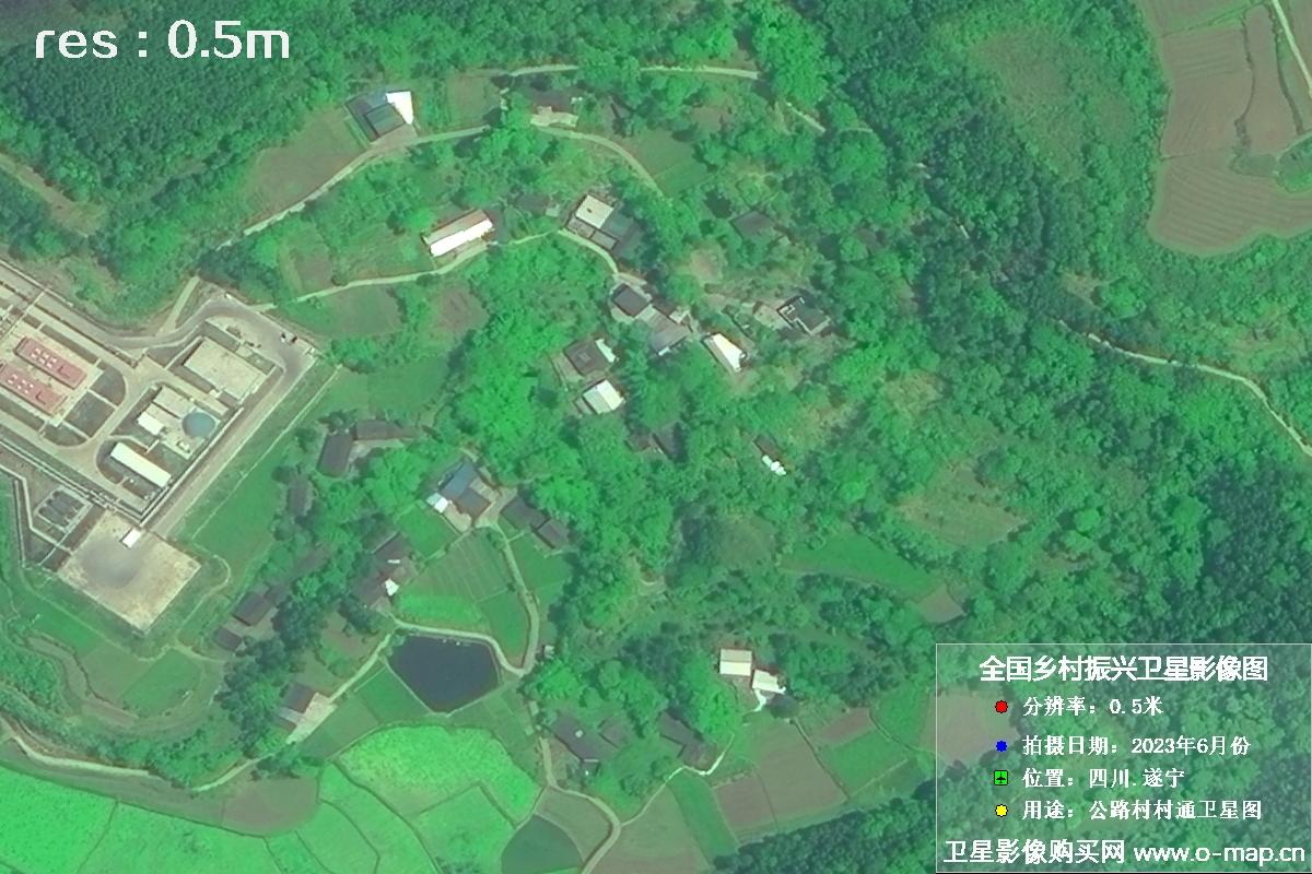
🛰 China satellite is replacing WorldView satellite..

For European and North American commercial buyers, high-resolution satellite imagery is no longer limited to a narrow set of legacy providers. China’s commercial and civil remote-sensing constellations now offer competitive resolution, faster revisits, broad-area coverage, and practical pricing for mapping, infrastructure, energy, agriculture, insurance, environmental monitoring, and defense-adjacent commercial applications.

This guide introduces key Chinese satellite options, compares them with Maxar WorldView satellites, and explains how business users can start purchasing China satellite imagery data with a professional partner.

✦ How to buy China satellite imagery data

Commercial buyers usually begin with a project area, required spatial resolution, acquisition date range, cloud-cover tolerance, licensing purpose, and delivery format. Once these requirements are clear, archived data can often be delivered quickly, while new tasking can be scheduled for updated collection.

01

Define AOI

Send your area of interest as coordinates, KML, KMZ, SHP, or GeoJSON.

02

Select resolution

Choose 0.3 m, 0.5 m, 1 m, or 2 m imagery depending on use case and budget.

03

Check archive or tasking

Use existing imagery for fast delivery or schedule fresh acquisition for recent data.

04

Receive data

Imagery can be delivered as GeoTIFF, orthorectified products, pansharpened imagery, or custom outputs.

☄ China Satellites

China’s satellite ecosystem has grown rapidly, with multiple constellations serving high-resolution commercial mapping, large-area monitoring, and fast revisit applications. The following satellites are frequently considered by international commercial users.

Jilin-1 Satellite

Jilin-1 is a fast-growing commercial remote-sensing constellation designed for frequent revisit, video imaging, and high-resolution optical collection.

  • ResolutionUp to 0.5 m class, NEO up to 0.3 m class
  • Launch dateFirst launched in 2015
  • Primary useUrban monitoring, agriculture, infrastructure, emergency response
  • StrengthLarge constellation and fast revisit
Jilin-1 satellite sample image 1 â›¶ Jilin-1 satellite sample image 1
Jilin-1 satellite sample image 2 â›¶ Jilin-1 satellite sample image 2
Jilin-1 satellite sample image 3 â›¶ Jilin-1 satellite sample image 3

SuperView-1 Satellite

SuperView-1, also known as Gaojing-1, provides high-resolution optical imagery for commercial customers requiring mapping-grade data and reliable collection.

  • Resolution0.5 m panchromatic, 2 m multispectral
  • Launch dateDecember 2016
  • Primary useMapping, land administration, asset monitoring
  • StrengthCost-effective 0.5 m imagery
SuperView-1 satellite sample image 1 â›¶ SuperView-1 satellite sample image 1
SuperView-1 satellite sample image 2 â›¶ SuperView-1 satellite sample image 2
SuperView-1 satellite sample image 3 â›¶ SuperView-1 satellite sample image 3

GF-7 Satellite

GF-7 is a high-resolution mapping satellite designed for stereo imaging, surveying, cartography, and elevation-related applications.

  • ResolutionSub-meter panchromatic, multi-meter multispectral
  • Launch dateNovember 2019
  • Primary useMapping, DEM production, land resources, planning
  • StrengthStereo mapping capability
GF-7 satellite sample image 1 â›¶ GF-7 satellite sample image 1
GF-7 satellite sample image 2 â›¶ GF-7 satellite sample image 2
GF-7 satellite sample image 3 â›¶ GF-7 satellite sample image 3

GF-1 Series Satellite

The GF-1 series supports wide-area coverage at affordable cost, making it attractive for regional monitoring and large-scale commercial projects.

  • Resolution2 m class high-resolution imagery
  • Launch dateFirst launched in April 2013
  • Primary useAgriculture, forestry, environment, disaster monitoring
  • StrengthLow-cost large-area acquisition
GF-1 satellite sample image 1 â›¶ GF-1 satellite sample image 1
GF-1 satellite sample image 2 â›¶ GF-1 satellite sample image 2
GF-1 satellite sample image 3 â›¶ GF-1 satellite sample image 3

â—‰ WorldView Satellites

Maxar’s WorldView satellites have long been recognized for very high-resolution commercial imagery. They remain important reference systems, but many buyers now compare them with Chinese alternatives for price, revisit, availability, and project-scale procurement flexibility.

WorldView-1

WorldView-1 was designed for high-resolution panchromatic imaging and has supported many mapping and intelligence-related commercial applications.

  • ResolutionAbout 0.5 m panchromatic
  • Launch dateSeptember 2007
  • Primary usePanchromatic mapping and monitoring
  • StrengthHigh-quality historical archive
WorldView-1 satellite sample image 1 â›¶ WorldView-1 satellite sample image 1
WorldView-1 satellite sample image 2 â›¶ WorldView-1 satellite sample image 2
WorldView-1 satellite sample image 3 â›¶ WorldView-1 satellite sample image 3

WorldView-2

WorldView-2 expanded commercial high-resolution imaging with multispectral bands and broad application value for land, coastal, and urban analysis.

  • ResolutionAbout 0.46 m panchromatic, 1.84 m multispectral
  • Launch dateOctober 2009
  • Primary useUrban mapping, vegetation, coastal analysis
  • StrengthAdvanced multispectral capability
WorldView-2 satellite sample image 1 â›¶ WorldView-2 satellite sample image 1
WorldView-2 satellite sample image 2 â›¶ WorldView-2 satellite sample image 2
WorldView-2 satellite sample image 3 â›¶ WorldView-2 satellite sample image 3

WorldView-3

WorldView-3 is a benchmark for very high-resolution commercial imagery and continues to be compared with emerging 0.3 m class alternatives.

  • ResolutionAbout 0.31 m panchromatic, 1.24 m multispectral
  • Launch dateAugust 2014
  • Primary usePremium mapping, urban intelligence, asset monitoring
  • StrengthVery high spatial resolution
WorldView-3 satellite sample image 1 â›¶ WorldView-3 satellite sample image 1
WorldView-3 satellite sample image 2 â›¶ WorldView-3 satellite sample image 2
WorldView-3 satellite sample image 3 â›¶ WorldView-3 satellite sample image 3

âš– China Satellites vs WorldView

The competitive landscape is changing. For many commercial projects, the best choice is not simply the highest theoretical resolution, but the right balance of resolution, revisit frequency, delivery speed, licensing model, geographic availability, and cost.

0.3 m imagery

China’s SuperView NEO and Jilin-1 NEO satellites are already capable of collecting 0.3 m class imagery. Their refresh speed and pricing can be more competitive than WorldView-3 for many commercial requirements.

✓ Advantage: China satellites

0.5 m imagery

SuperView, Jilin-1, and related Chinese satellite resources are well positioned for 0.5 m class imagery. For many mapping and monitoring projects, they offer stronger update frequency and significantly better cost efficiency.

✓ Advantage: China satellites

1–2 m imagery

Jilin-1, GF-2, GF-7, and the GF-1 series can support large-area 1–2 m remote-sensing imagery at very competitive prices. This is especially attractive for regional and national-scale commercial monitoring.

✓ Advantage: China satellites

Final perspective

China satellites are moving into the global commercial market. This is both a trend and an expected outcome. For international customers seeking high-resolution satellite imagery, Chinese satellite data is becoming a more cost-effective and flexible choice. OMAP can serve as your professional partner for satellite image sourcing, archive search, tasking coordination, product delivery, and remote-sensing project support.