Introduction to Common High-Resolution Remote Sensing Satellites
Choosing a remote sensing satellite is not just about resolution. Launch date, swath, revisit frequency and data use all shape whether an image works for your project. This guide puts nine workhorse high-resolution satellites into one comparison table and one timeline, so you can see what each one does best.
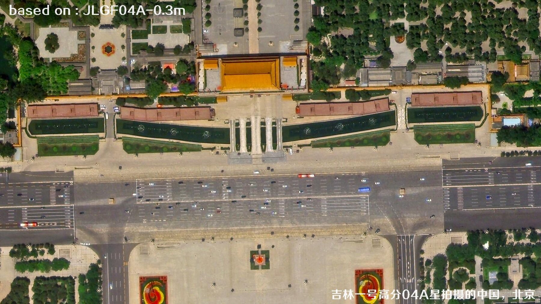 0.3 m GSD
JILIN-1 GF-04A
BEIJING · CHINA
Satellite Data at a Glance
Here are the questions people ask most often: when did it launch, what is the panchromatic resolution, which country or region does it serve, and what is it best at? The table uses panchromatic resolution as a common yardstick. Multispectral resolution is usually lower, and real selection also depends on swath, revisit and geolocation accuracy.
| Satellite | Launch date | Pan resolution | Country / Region | One-line strength |
|---|---|---|---|---|
| OrbView-3 Commercial optical · 1 m class | 2003-06-26 | 1 m PAN4 m multispectral | USA | Early commercial 1 m pan pioneer. |
| Ziyuan-1 02C ZY-1 02C · wide-swath optical | 2011-12-22 | 2.36 m PAN5 m pan / 10 m MS | China | 54 km swath from twin HR cameras. |
| Gaofen-1C GF-1C · 2 m / 8 m constellation | 2018-03-31 | 2 m PAN8 m multispectral | China | Frequent 2 m / 8 m constellation. |
| Gaofen-1D GF-1D · 2 m / 8 m constellation | 2018-03-31 | 2 m PAN8 m multispectral | China | Adds revisit and land monitoring. |
| Gaofen-7 GF-7 · stereo mapping | 2019-11-03 | 0.65 m PAN3.2 m multispectral | China | First sub-meter stereo mapper. |
| CBERS-04A China–Brazil · wide-swath cooperation | 2019-12-20 | 2 m PAN8 m multispectral | China / Brazil | 90 km swath for resources. |
| Ziyuan-1 02E ZY-1 02E · 5 m optical satellite 02 | 2021-12-26 | 2.5 m PAN10 m multispectral | China | Wide multispectral + hyperspectral. |
| SuperView Neo-1 Siwei Gaojing-1 · commercial 0.3 m | 2022-04-29 | 0.3 m PAN1.2 m multispectral | China | Commercial 0.3 m detail leader. |
| Jilin-1 Gaofen-04A Jilin-1 GF-04A / Jilin-NEO · commercial 0.3 m | 2022-04-30 | 0.3 m PANSea-launched · fast revisit | China | Sea-launched, fast-revisit 0.3 m. |
Start with the task scale
For fine urban modelling, look at 0.3–0.5 m. For broad crop and forest monitoring, 2 m wide-swath data is often more efficient.
Then check swath and revisit
Higher resolution does not automatically mean higher efficiency. Swath, revisit and tasking capacity decide whether you can get coverage on time.
Finish with data quality
Geolocation, cloud cover, radiometric consistency and fusion products often matter more than the headline resolution number.
Resolution Evolution: From 1 m to 0.3 m
Put launch date on the horizontal axis and panchromatic resolution on the vertical axis, and the curve is not perfectly smooth—but the direction is clear. Early 1 m systems opened the commercial era, 2 m wide-swath satellites made routine monitoring possible, and 0.3 m systems pushed detail recognition to a new level.
The horizontal axis uses a square-root scale based on launch intervals, with a minimum gap so labels stay readable. Satellites launched on the same or adjacent days are nudged slightly sideways; use the points for trend reading, not precise time measurement.
0.3 m High-Resolution Satellite Imagery
What does 0.3 m mean? Under good imaging conditions, one pixel covers about 30 cm on the ground. Road markings, vehicles, roof structures and the layout of port containers turn from colour blocks into recognizable detail. Click any image to open a larger view.
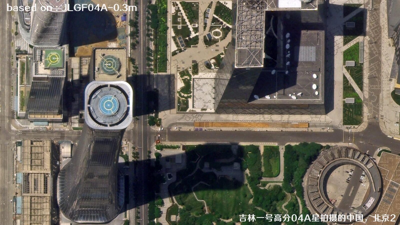 0.3 m
JILIN-1
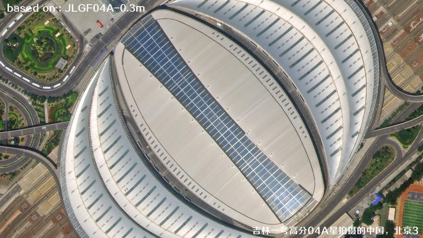 0.3 m
JILIN-1
 0.3 m
JILIN-1
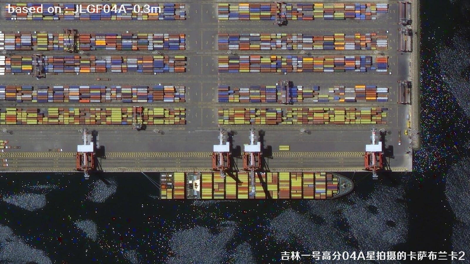 0.3 m
JILIN-1
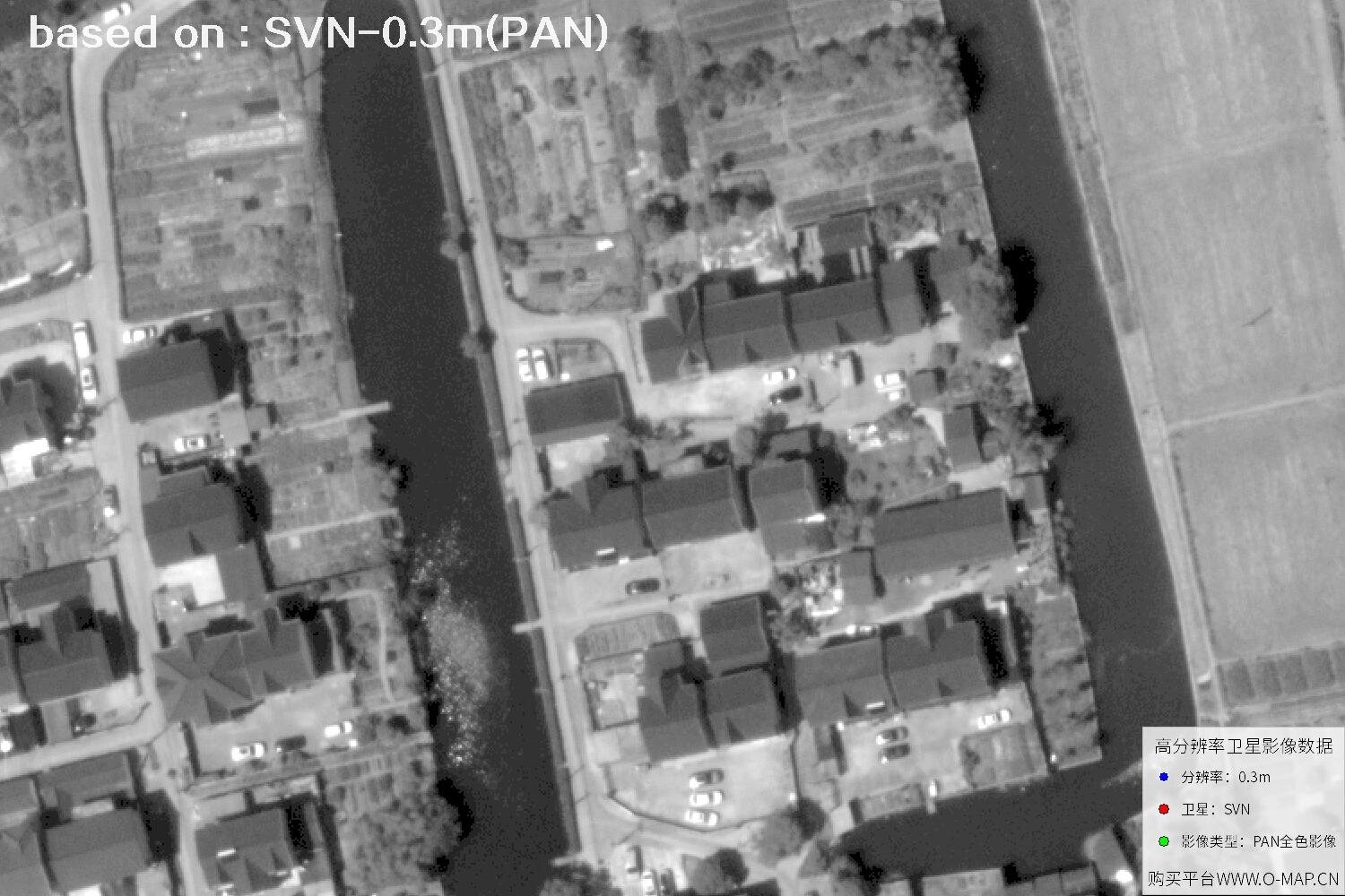 0.3 m PAN
SVN-1
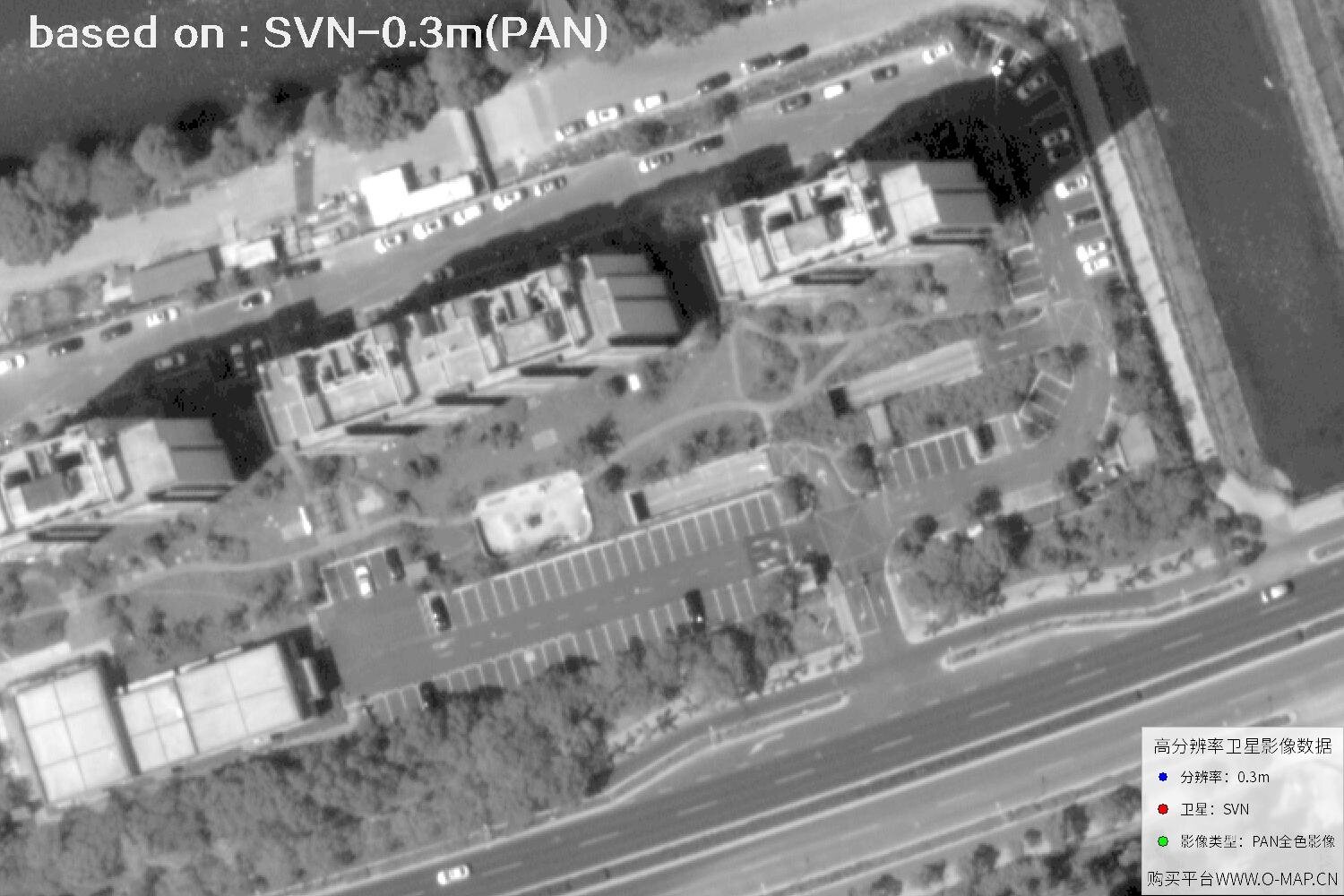 0.3 m PAN
SVN-1
Imagery: Beijing Yijingtu · Jilin-1 Gaofen-04A / SuperView Neo-1 0.3 m samples. Images are shown to illustrate imaging detail; copyright remains with the original rights holders.
Satellite Image Target Recognition
One high-resolution scene can serve many industries. Click a cover below to explore sample imagery and application ideas for farmland, forest, vehicles and buildings.