🛰️What Does Resolution Mean in High-Resolution Satellite Imagery?
1☄️ What Is a Remote Sensing Satellite?
A remote sensing satellite is a "camera in space", orbiting hundreds of kilometers above Earth. Without touching the ground, it captures reflected sunlight or radar signals and converts them into images we can analyze.
🌾
ResourcesFarmland, forest, water and mining surveys
🏙️
Urban PlanningBuildings, roads and urban sprawl
🌪️
EmergencyFloods, fires and earthquake assessment
🚜
Farming & EnvironmentCrop growth, yield and pollution tracking
💡 In one sentence: a remote sensing satellite = super camera + analyst in orbit — wide, repeated and detailed.
2🔍 Spatial Resolution: How Big Is One Pixel?
Spatial resolution means the ground size of one image pixel, measured in meters. A 0.5m resolution image means one pixel covers 0.5m × 0.5m on the ground.
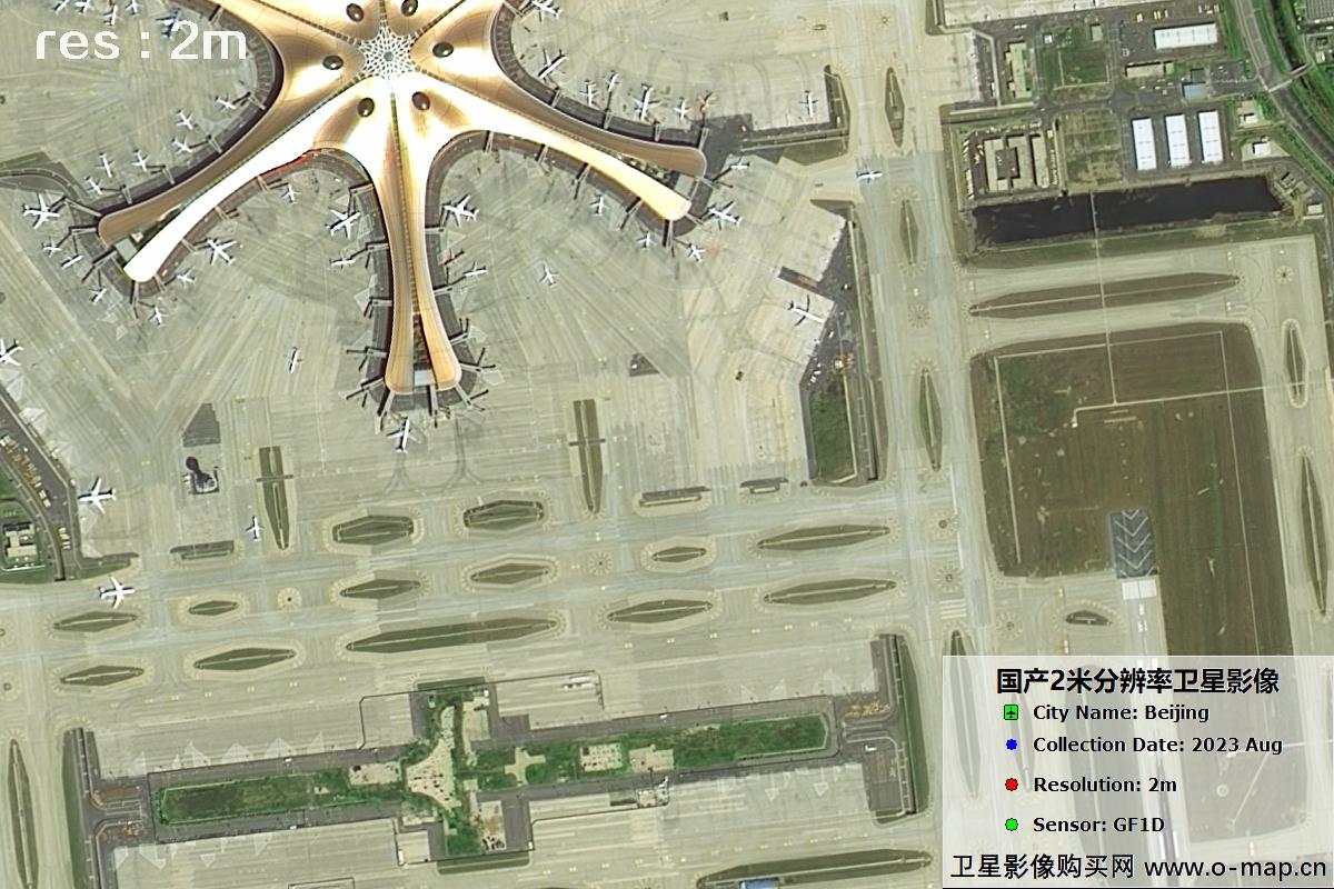
The smaller the number, the sharper the image: 0.3m can show cars clearly, while 2m only shows building outlines — just like phone cameras with more megapixels.
✨ Easy rule: resolution ≈ the smallest object you can recognize. With 0.5m, you can count cars on the road.
3📊 Common Resolutions: 0.3m / 0.5m / 1m / 2m
| 🔭 Resolution | 👁️ What You See | 🧭 Main Uses | 🛰️ Commercial Satellites |
|---|---|---|---|
| 0.3m | Cars, street trees, roof details | Detailed mapping, enforcement, engineering | WorldView-3, PNEO,SuperView-Neo,Jilin-Neo |
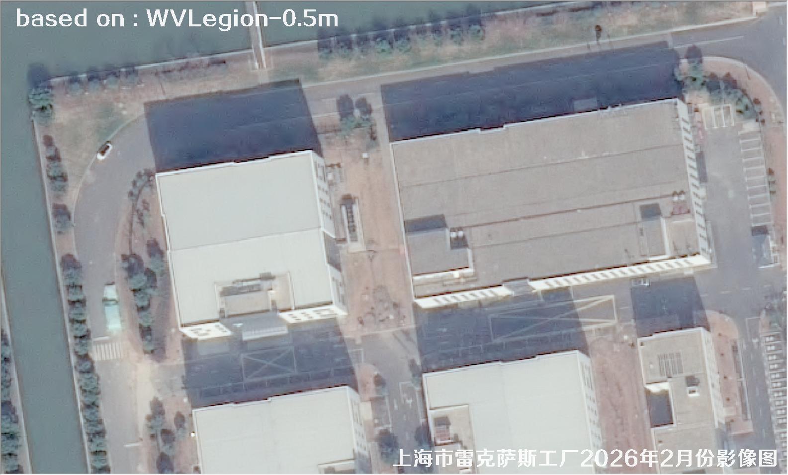
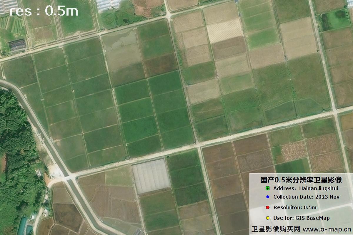
| 0.5m | Cars, houses, field borders | Urban renewal, cadastre, transport | WV1/WV2/QB/ Pleiades/ SuperView-1/Jilin |
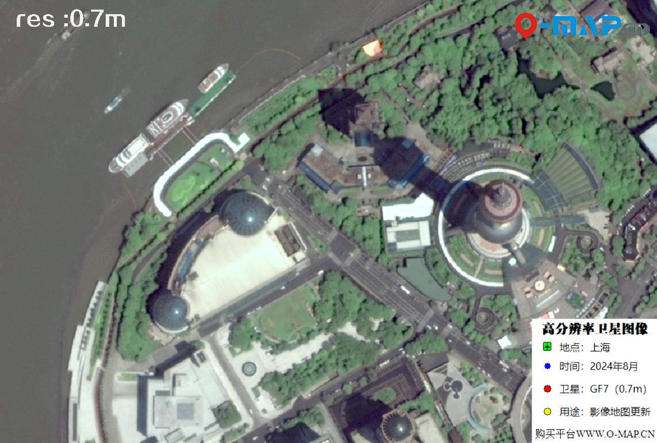
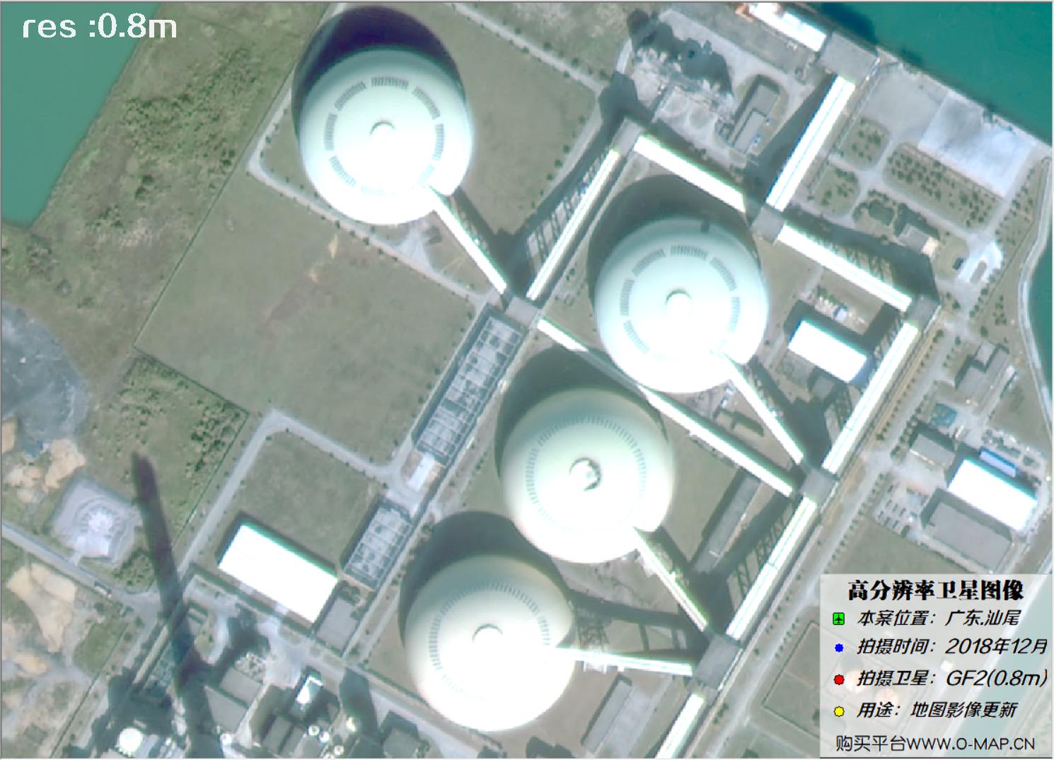
| 1m | Buildings, large vehicles, roads | Census, crop estimation, environment | IKONOS, GF2,GF7,Kompsat2,Kompsat3 |
| 2m | Blocks, lakes, forest patches | Baseline mapping, disaster warning | GF-1, ZY-3,GF1B,GF1C,GF1D,GF6,CB04A |
Browse more in our HD sample library by resolution.
✦🖼️ Sample Satellite Images
Six sample slots below — click "More" for similar 0.3m samples:

🎯 Object Recognition in Satellite Images
🌾 Farmland
🌲 Trees
🚗 Cars
🏠 Houses
🌾 Farmland: field parcels and crop types for mapping and yield. Open >>
🌲 Trees: single-tree detection and carbon-stock estimation. Open >>
🚗 Cars: count vehicles and traffic with 0.3-0.5m images. Open >>
🏠 Houses: building footprints and change detection. Open >>