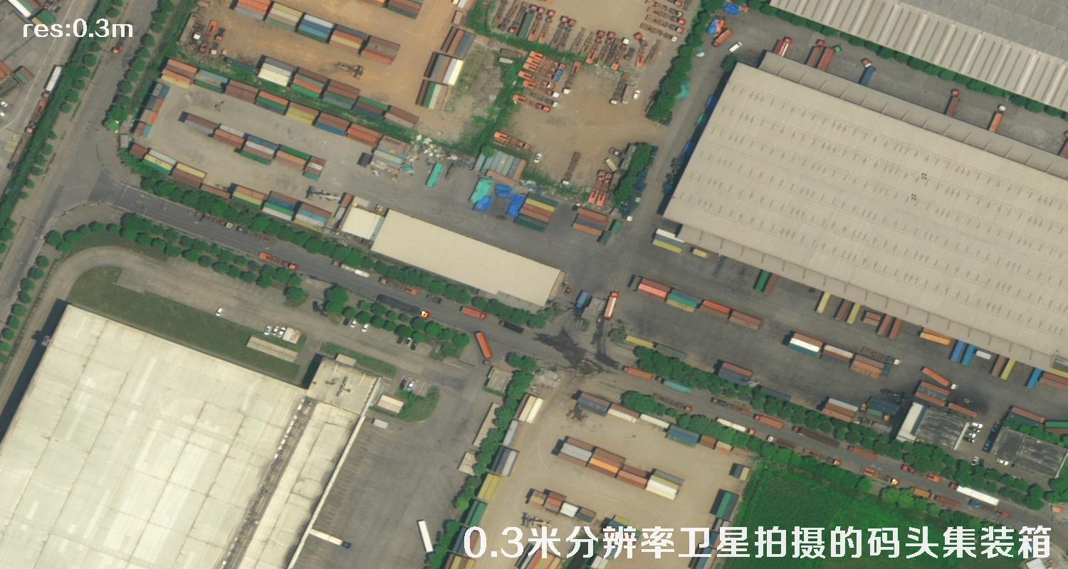
 01
WorldView3Satellite sample
More samples↗
A curated directory of historical satellite imagery for Qingyang, Gansu. Browse acquisition dates and resolutions, then explore sample scenes and recognition examples.
This catalog brings together high-resolution satellite imagery available for Qingyang, Gansu, from 2000 through 2026. Scenes generally cover key areas around the municipal government; footprints vary by acquisition, and the archive is described as having cloud cover no higher than 15%. Please confirm the coverage, capture conditions and availability of individual scenes with our team before ordering.
We can also help source historical and frequently refreshed imagery for other locations in Qingyang:
The list contains the three requested scene fields, plus a row number. Dates are shown in YYYY-MM-DD format.
| # | Satellite ↕ | Acquisition date ↕ | Resolution contains ↕ |
|---|
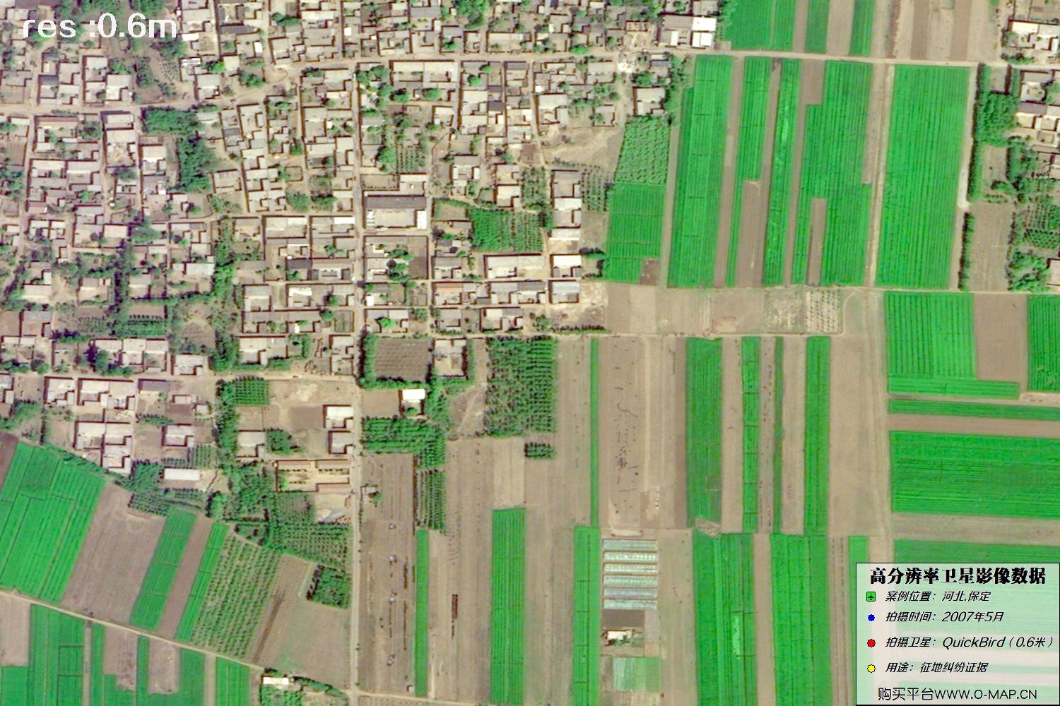
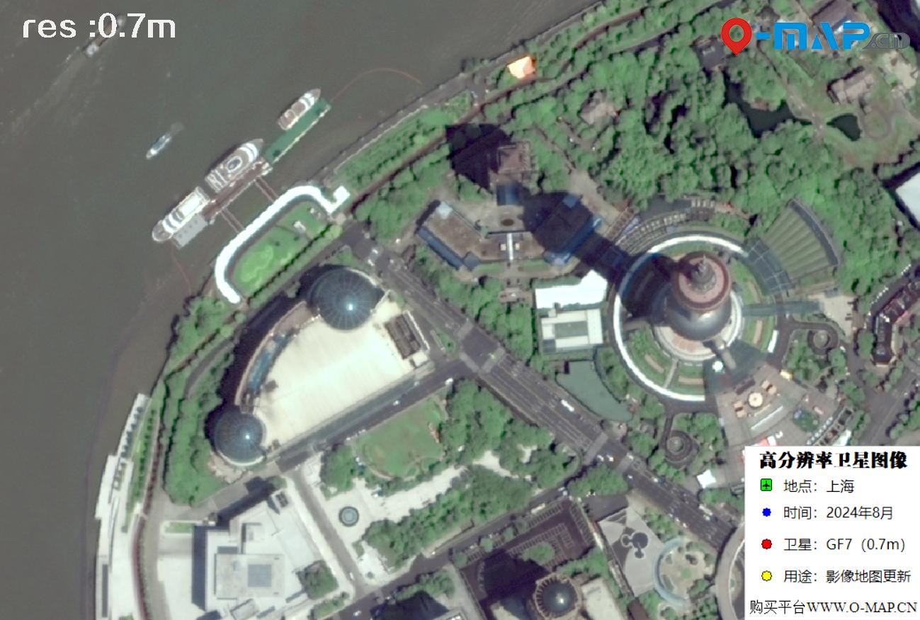
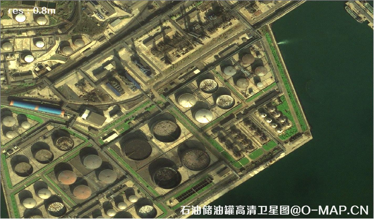
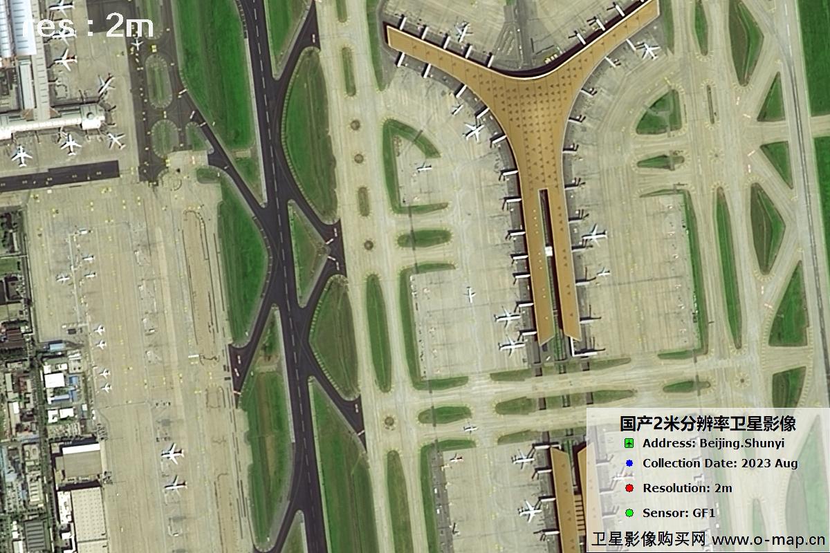
A quick visual reference for selected satellite platforms. Actual image detail depends on the sensor, acquisition conditions and target.
01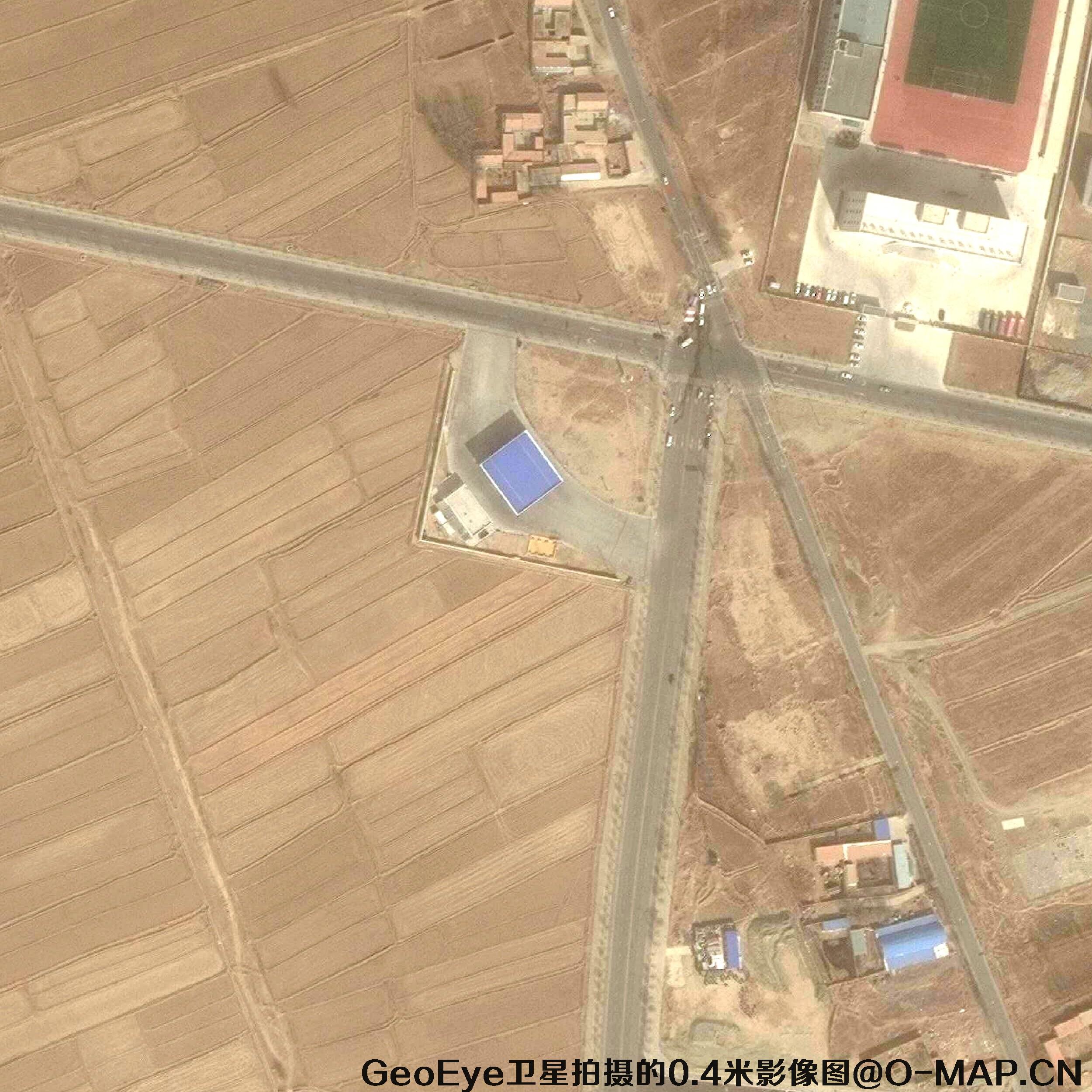 02
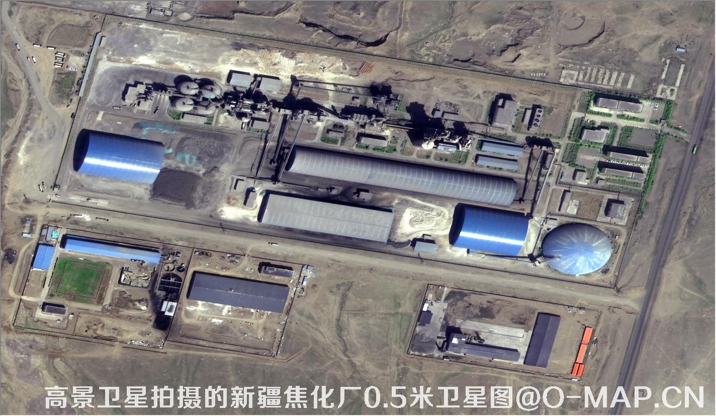 03
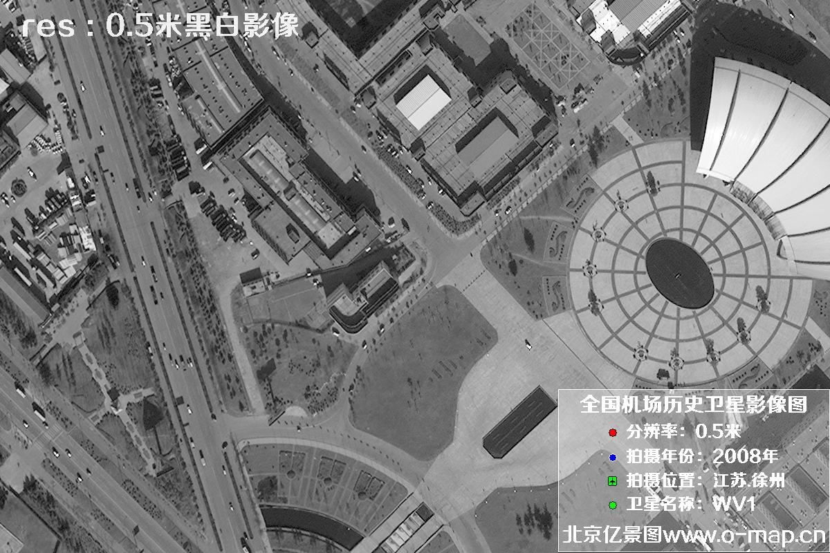 04
 05
 06
 07
 08
 09
Explore examples of common targets identified in satellite imagery.